


High-altitude hike Gurnigel - Stockhorn
Fotografije naših uporabnikov
-

 © Bernhard HerzigUstvarjeno na 07.09.2025
 -
 © Bernhard HerzigUstvarjeno na 07.09.2025
 -
 © Bernhard HerzigUstvarjeno na 07.09.2025
 -
 © Aurelian BöhlerUstvarjeno na 12.08.2025
 -
 © Christian FratzscherUstvarjeno na 15.06.2025
 -
 © Mevina ConradUstvarjeno na 25.05.2025
 -
 © Mevina ConradUstvarjeno na 25.05.2025
 -
 © Mevina ConradUstvarjeno na 25.05.2025
 -
 © Mevina ConradUstvarjeno na 25.05.2025
 -
 © Mevina ConradUstvarjeno na 25.05.2025
 -
 © luyyyUstvarjeno na 11.05.2024
 -
 © Heinrich MocelliniUstvarjeno na 12.05.2022
 -
 © Heinrich MocelliniUstvarjeno na 12.05.2022
 -
 © Heinrich MocelliniUstvarjeno na 12.05.2022
 -
 © Martin ReinhardUstvarjeno na 07.07.2020
 -
 © Aurelian BöhlerUstvarjeno na 11.08.2025
 -
 © Aurelian BöhlerUstvarjeno na 11.08.2025
 -
 © Christian ZahndUstvarjeno na 16.01.2025


Starting at the Gurnigel watershed, the path initially follows an asphalted and then a gravelled alpine road to the Alp Obernünenen. At Alp Obernünenen, a small refreshment or snack can be taken. Then...
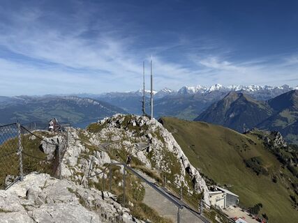
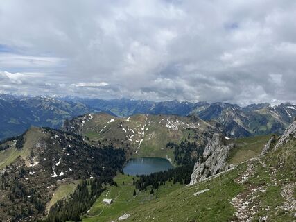
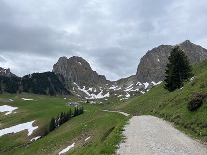
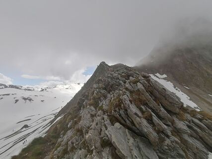
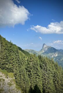
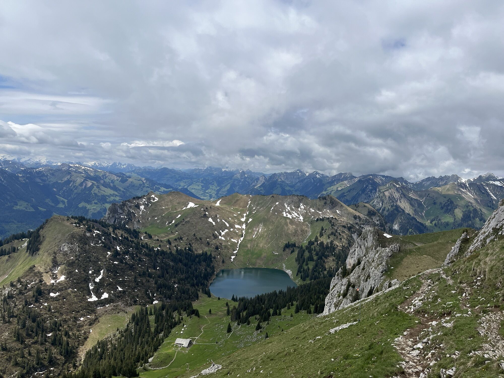
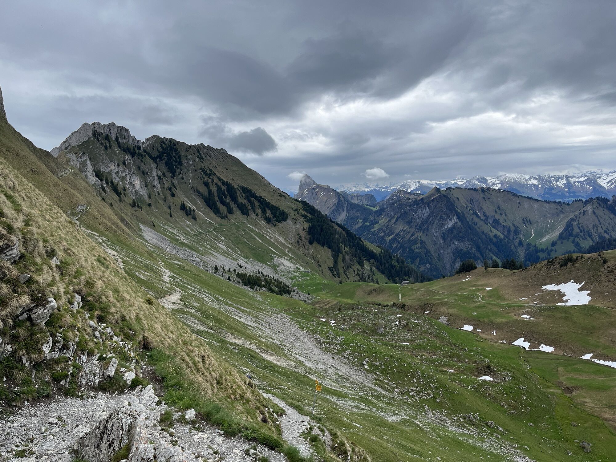
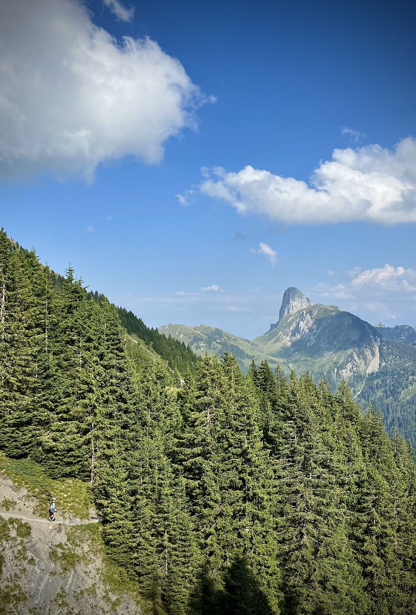
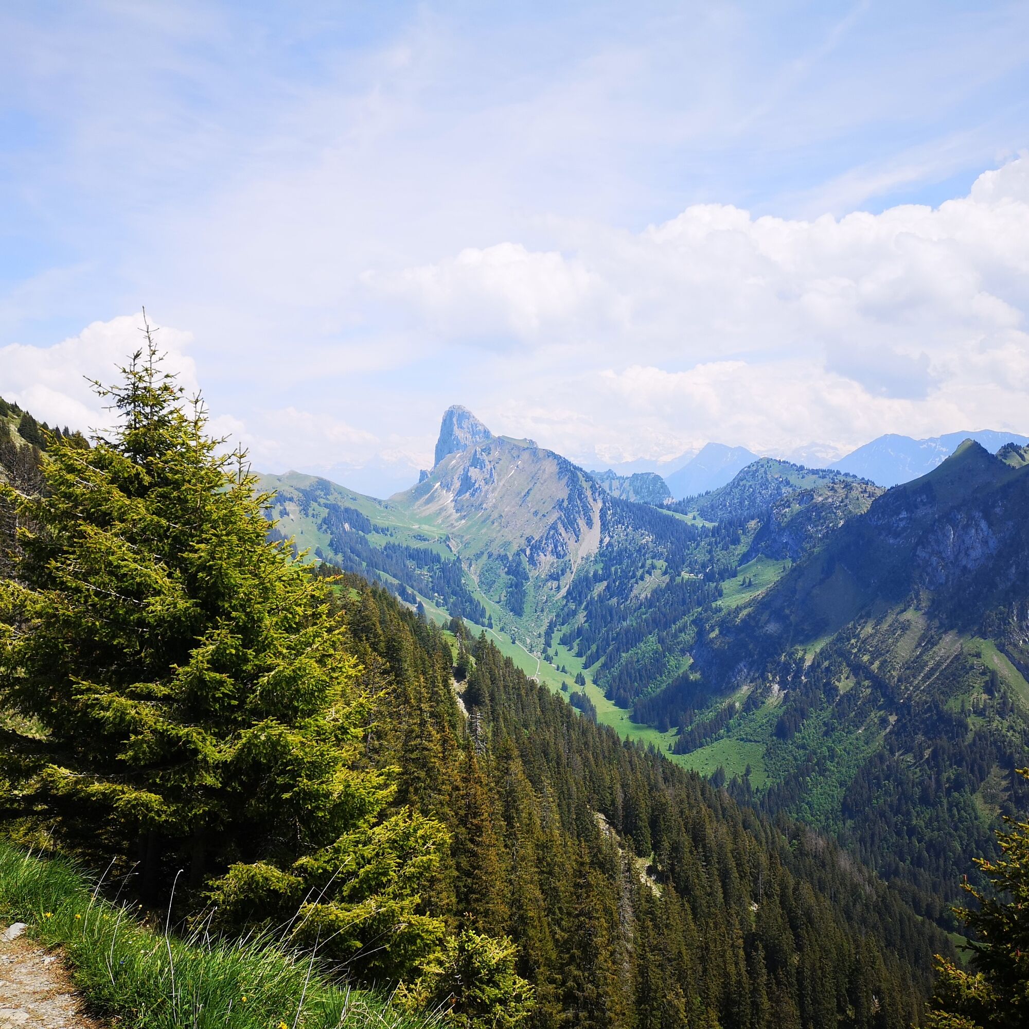
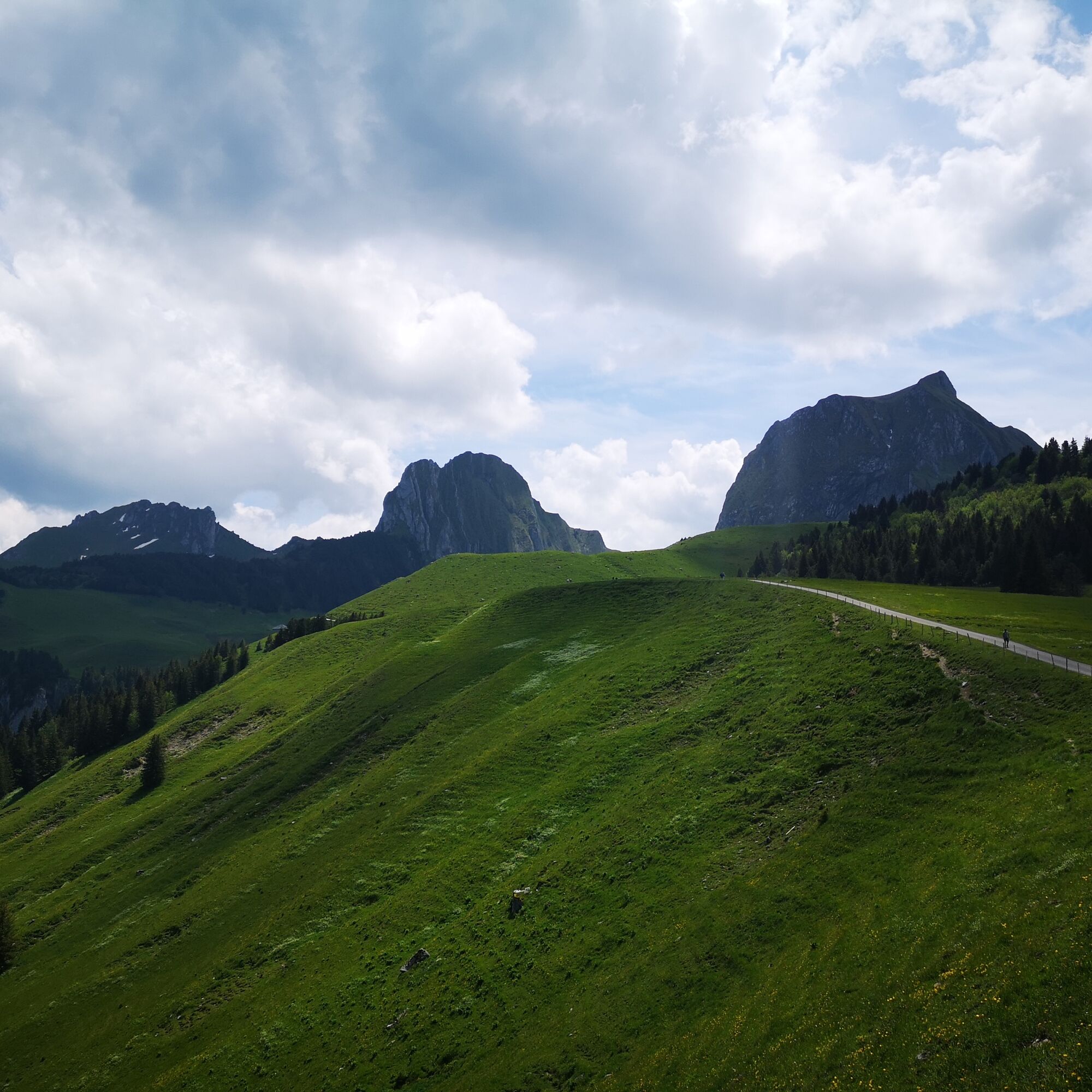
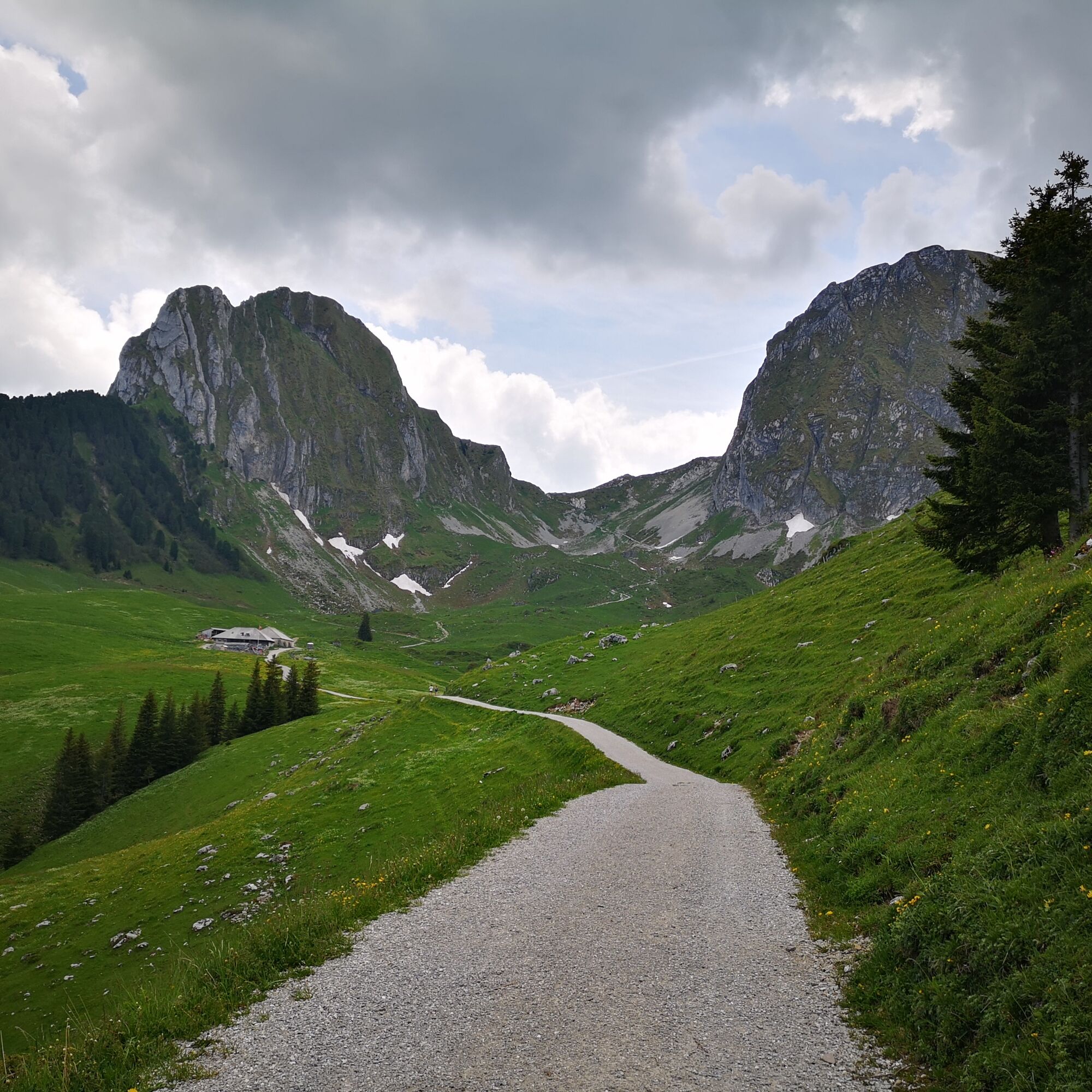
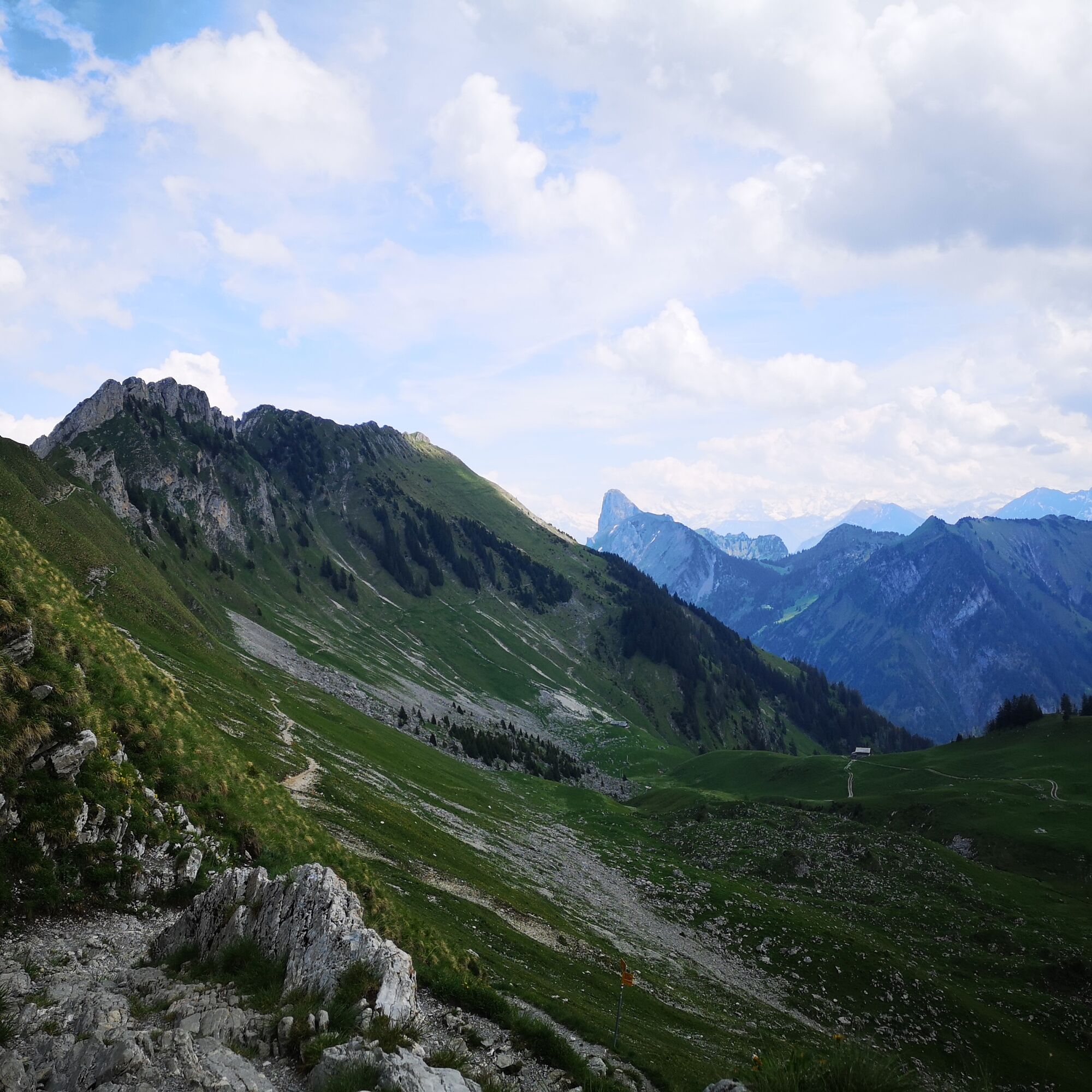
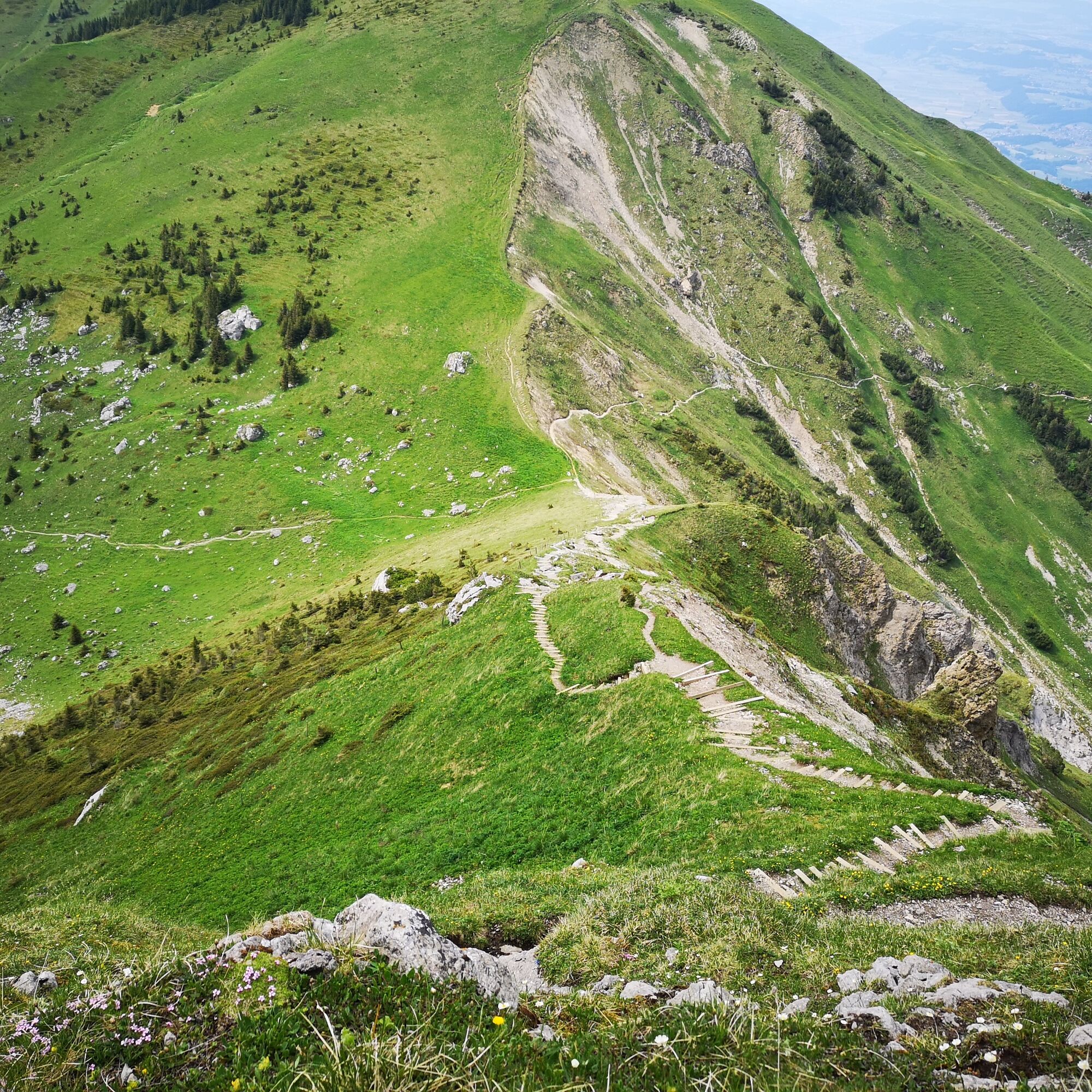
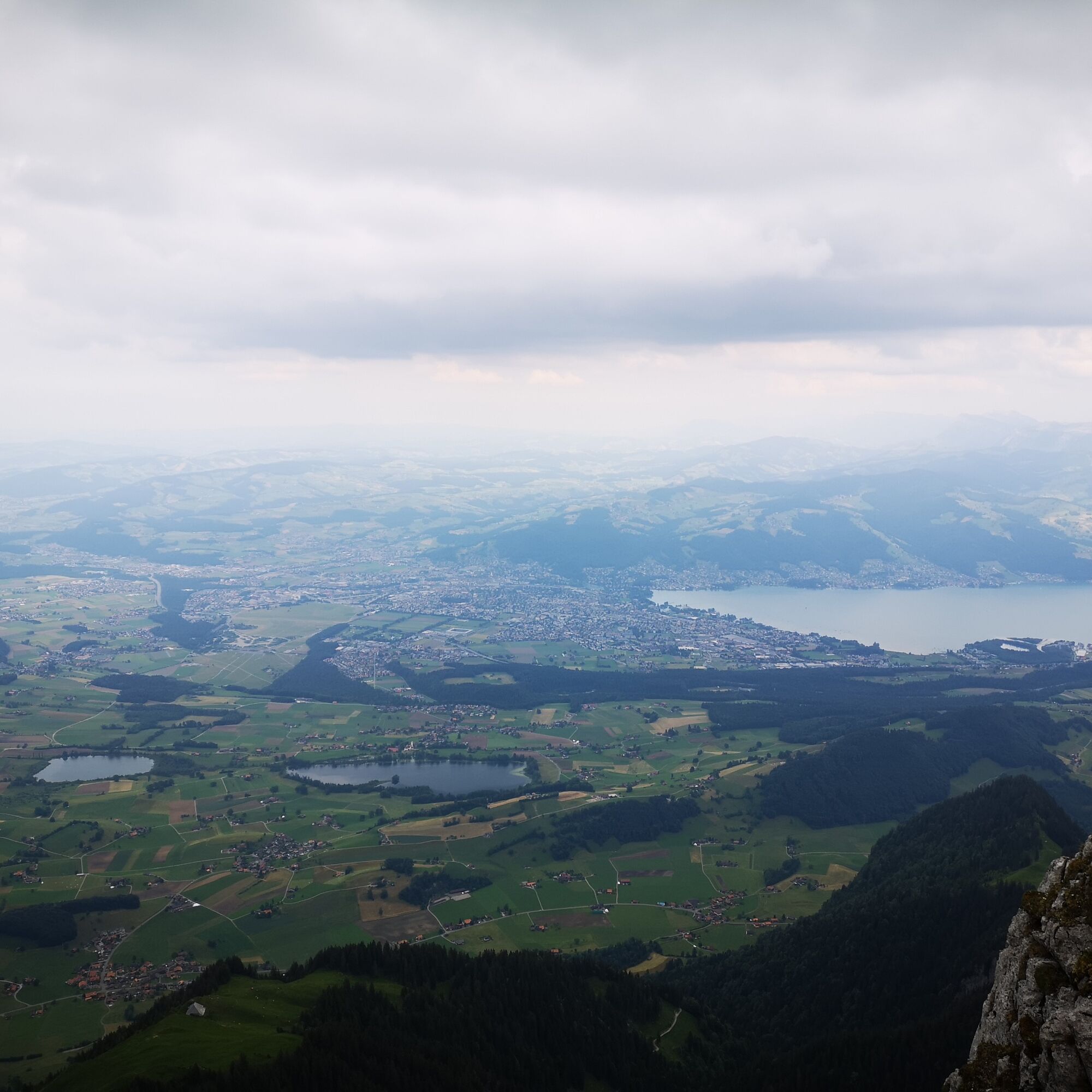
Starting at the Gurnigel watershed, the path initially follows an asphalted and then a gravelled alpine road to the Alp Obernünenen. At Alp Obernünenen, a small refreshment or snack can be taken. Then the ascent to the Leiterepass at 1904 m begins on the stony path. Once at the top, a wonderful view opens down into Chessel as well as to the Chesselgrat. Far off to the east, the Stockhorn can also be seen—the goal of this route.
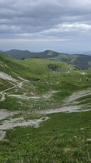
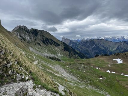
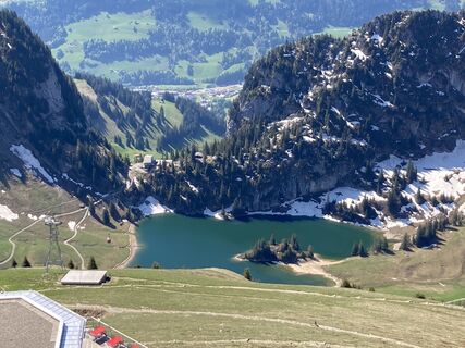
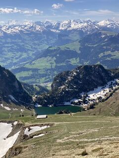
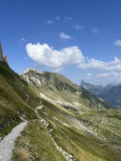
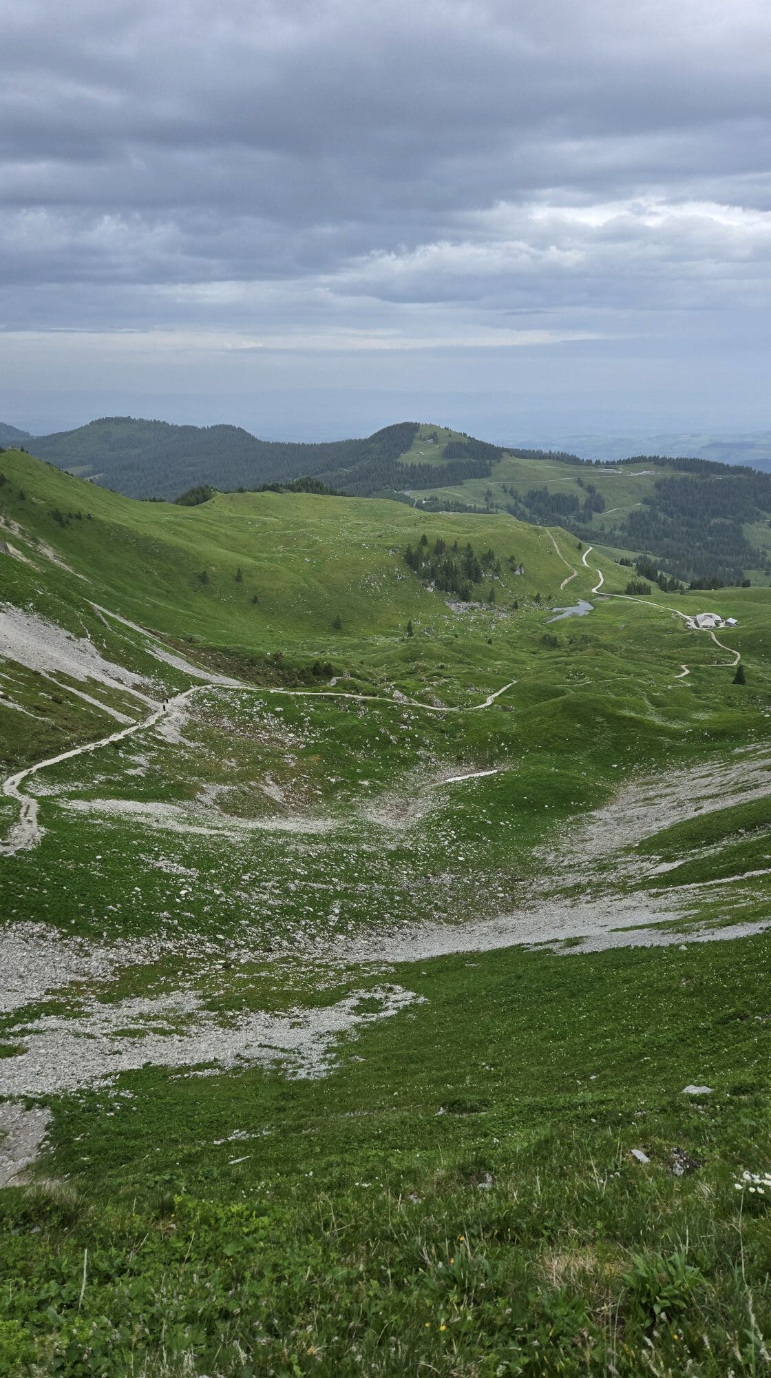
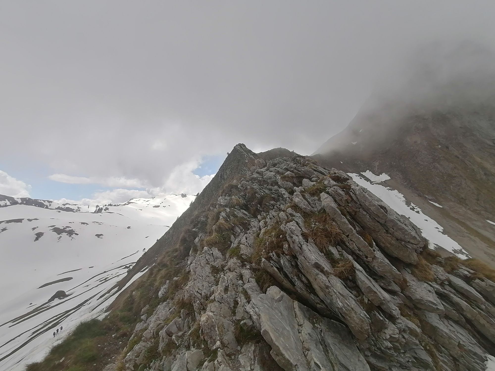
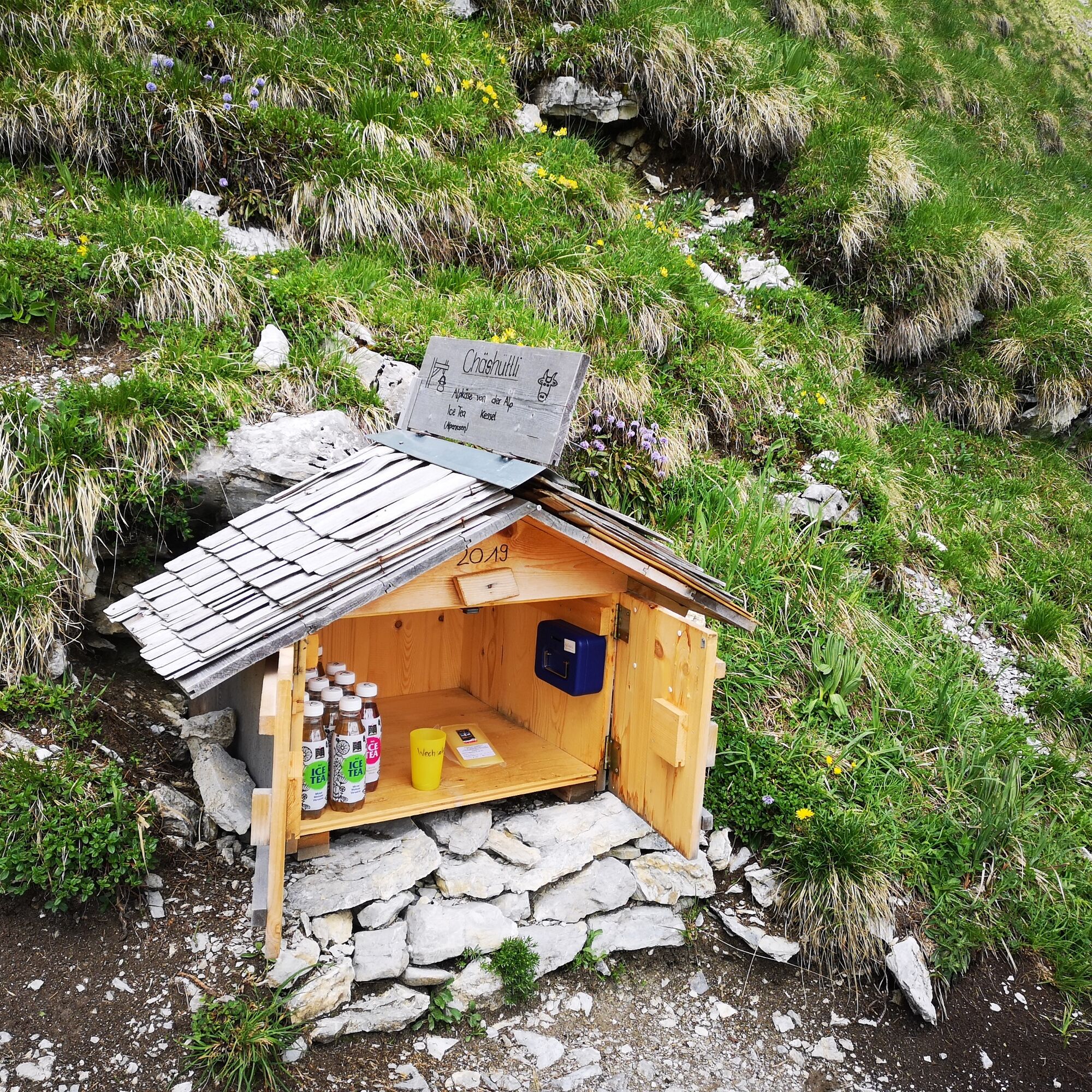
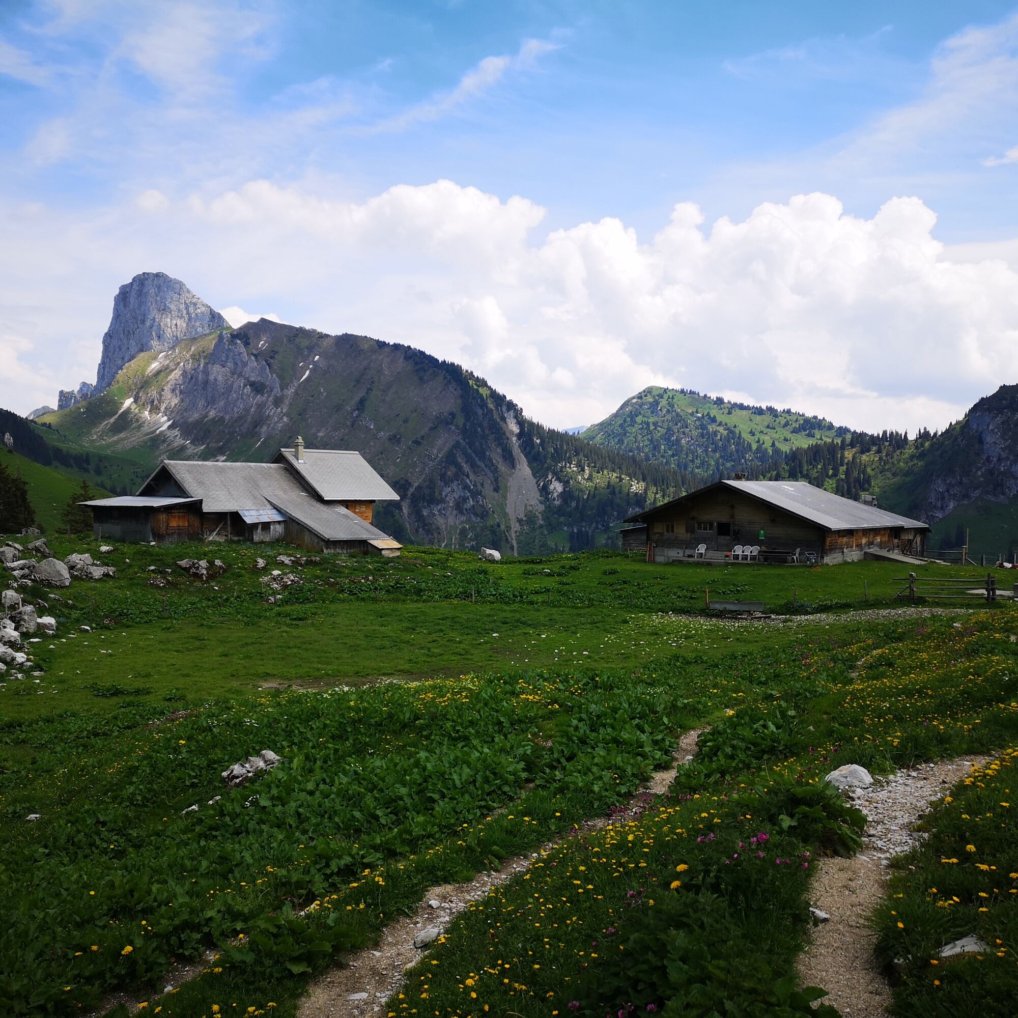
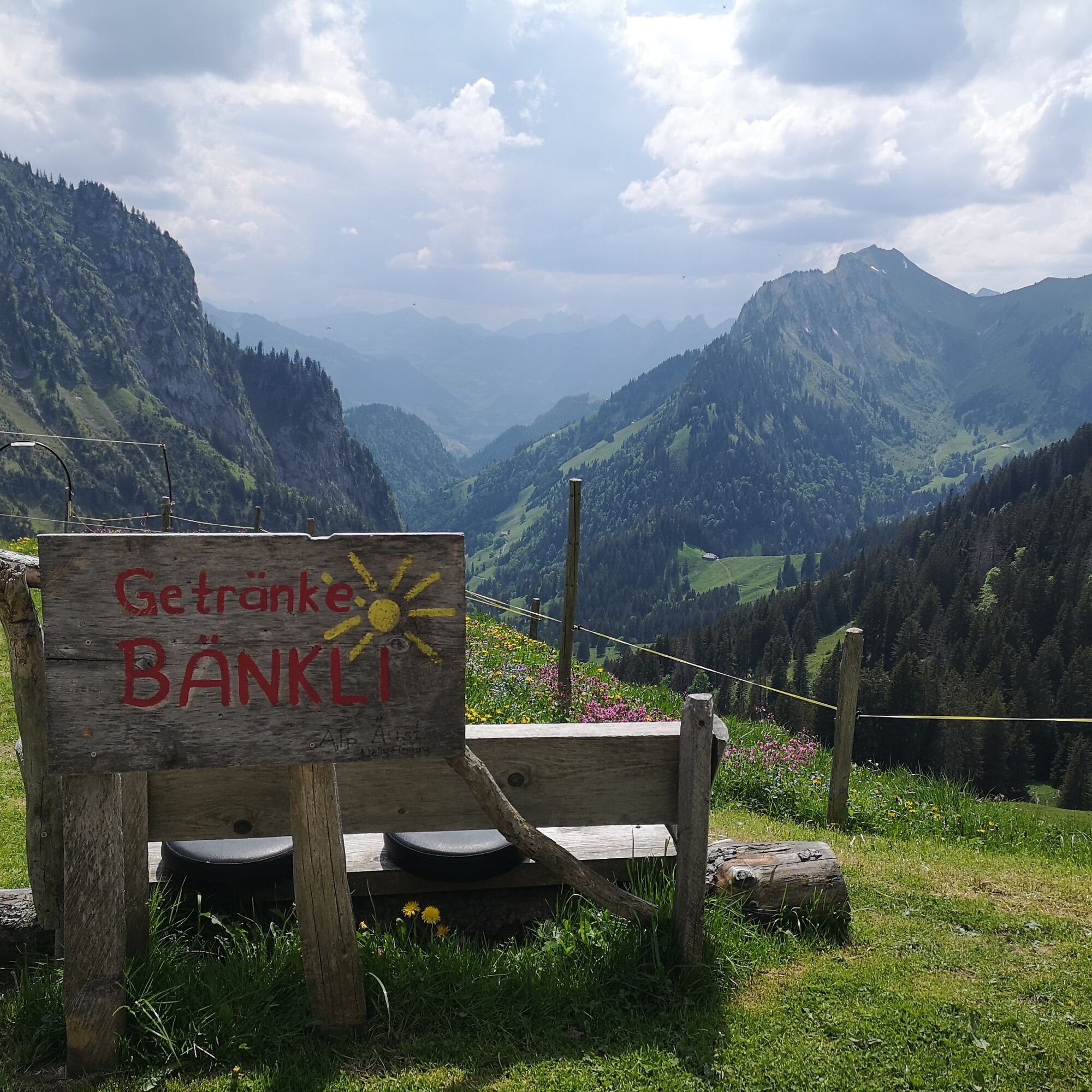
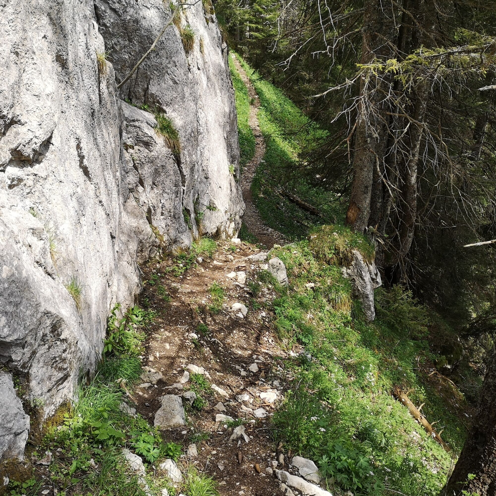
Now the actual high-altitude trail begins under the gigantic Gantrisch chain. From Leiterepass, the upcoming path can be seen. Along the southern slope of Chummfadeflue, Stubeflue, and Homad, the path leads with few altitude meters to be mastered. Passing Chuelouenen and Stierehütte, one reaches the Oberi Walalp. At the organic Demeter alpine farm with dairy cows, cattle, alpine pigs, and chickens, you can buy a fine piece of Bernese alpine cheese AOP.
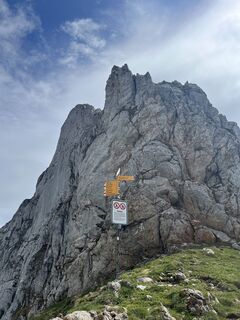
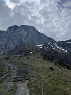
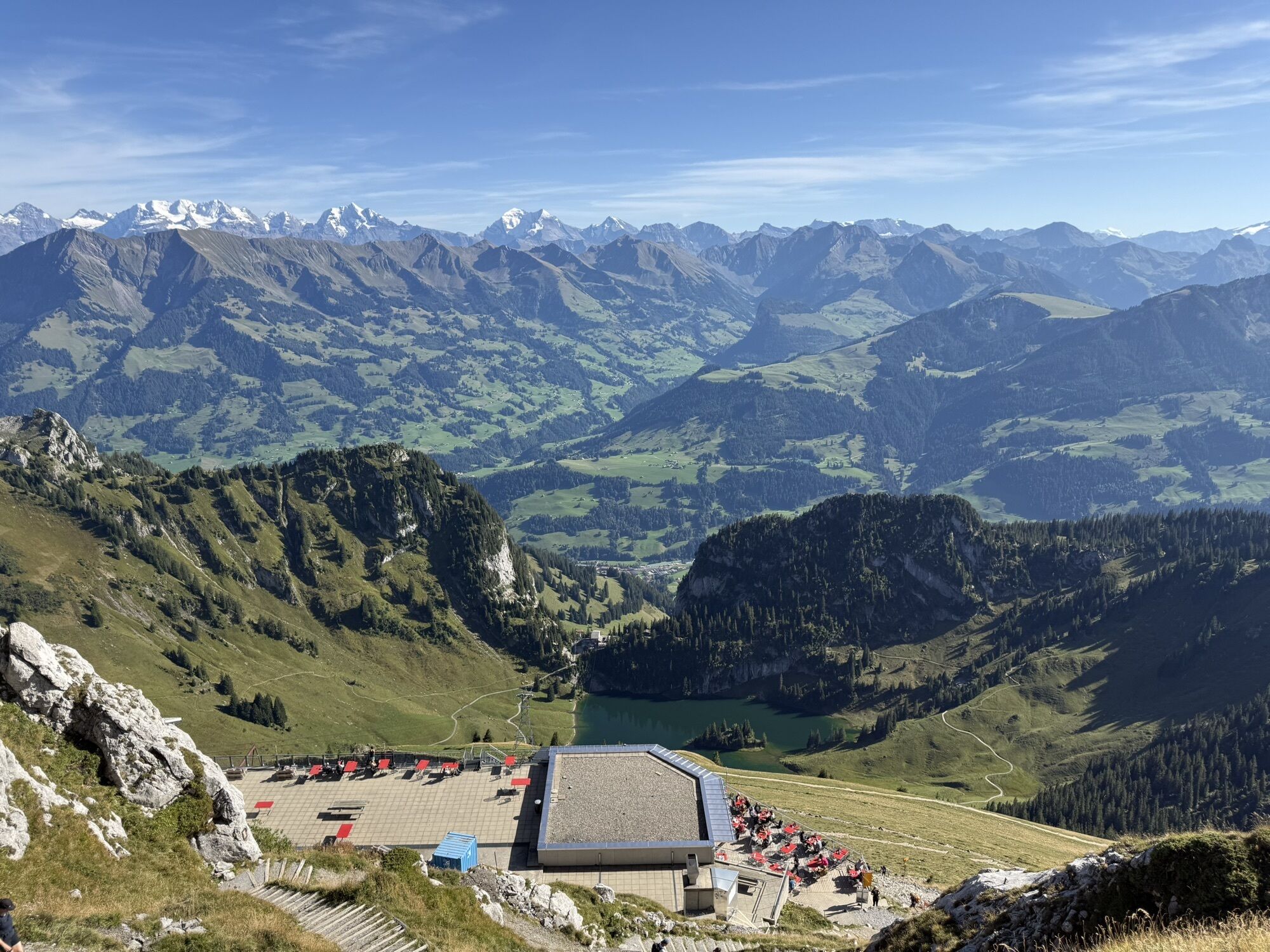
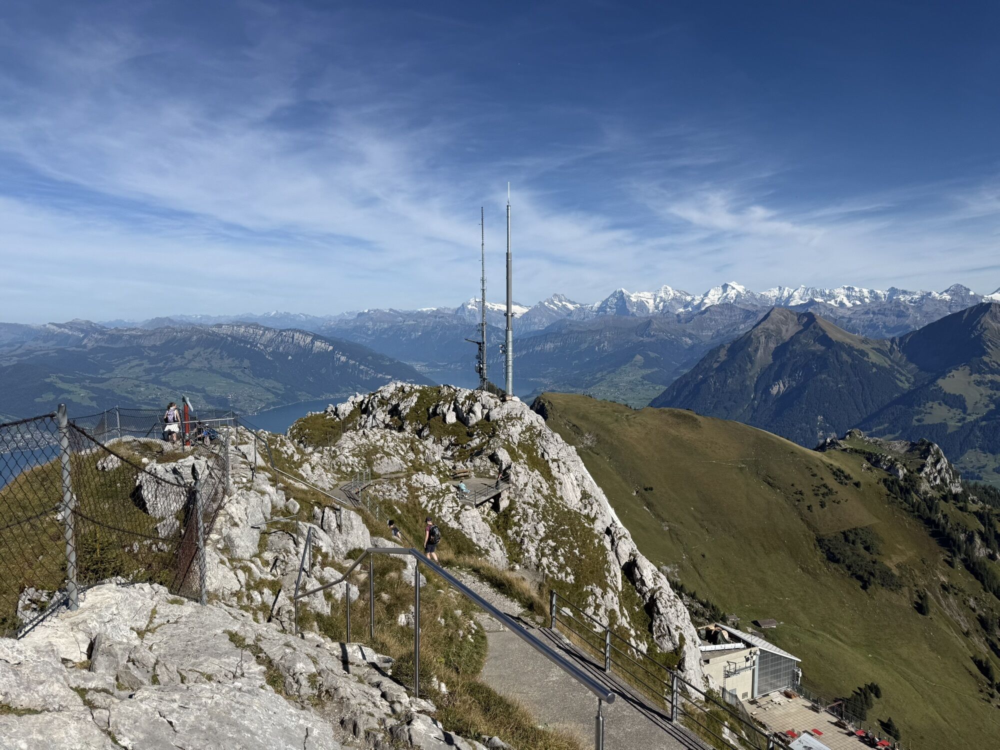
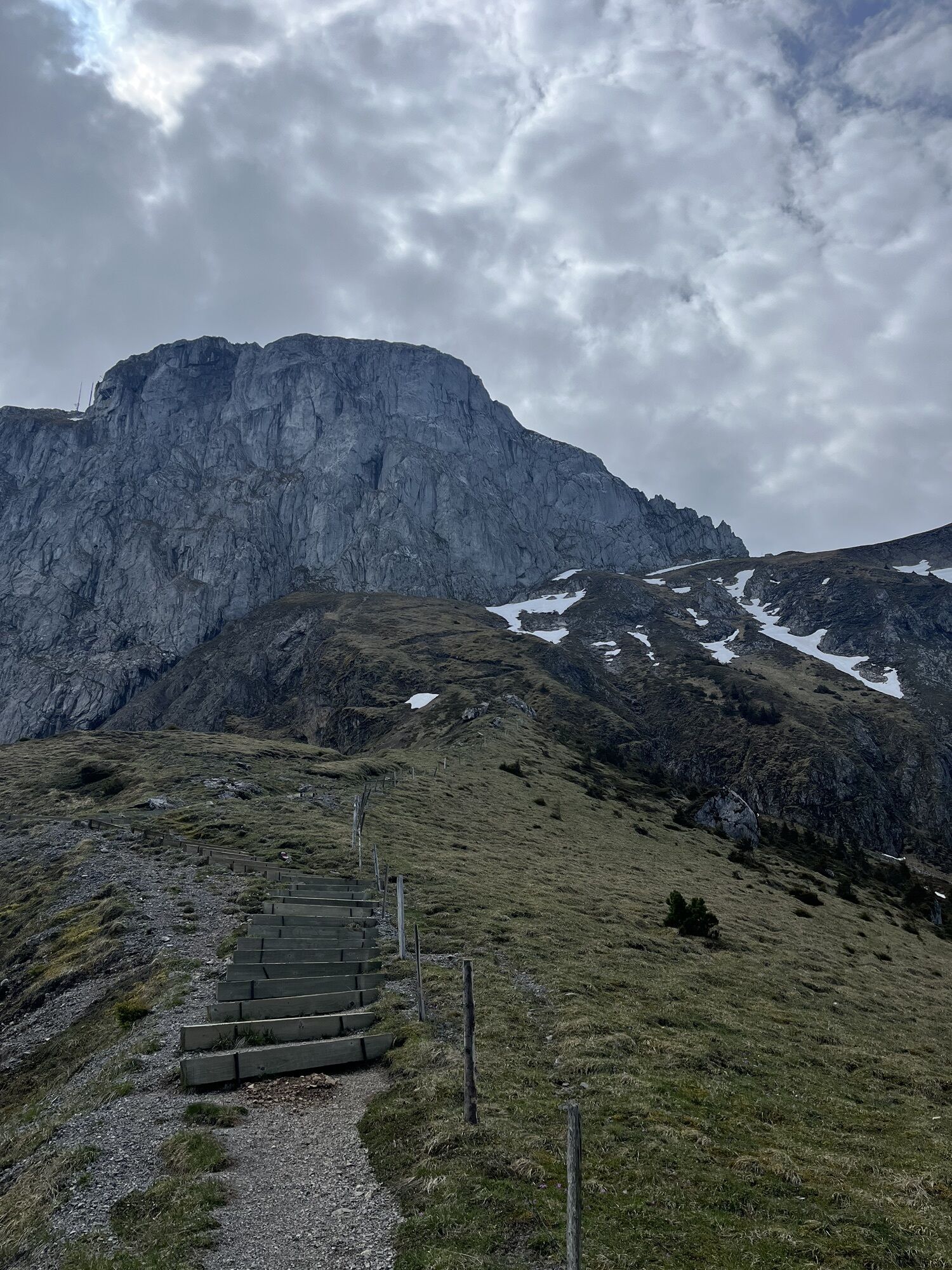
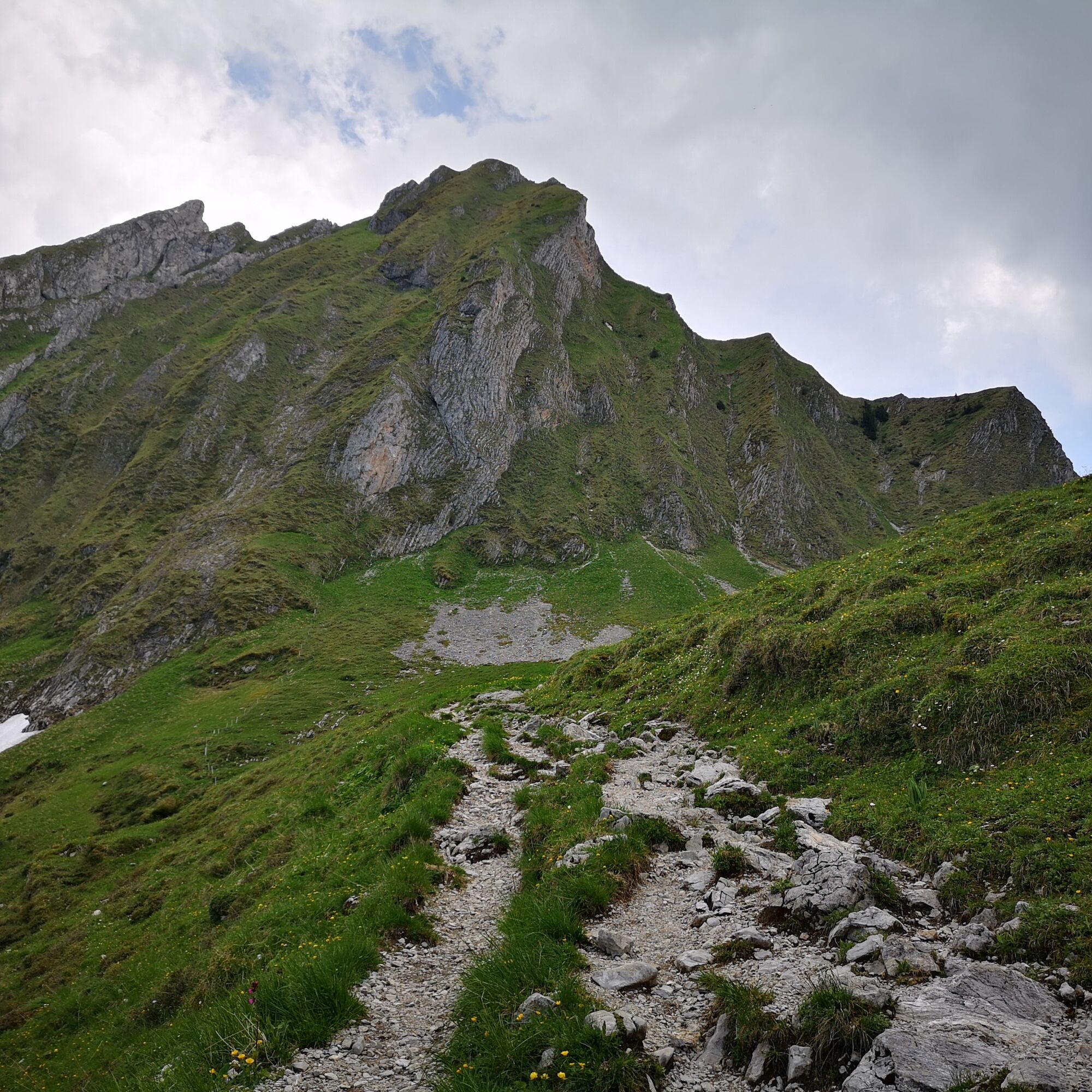
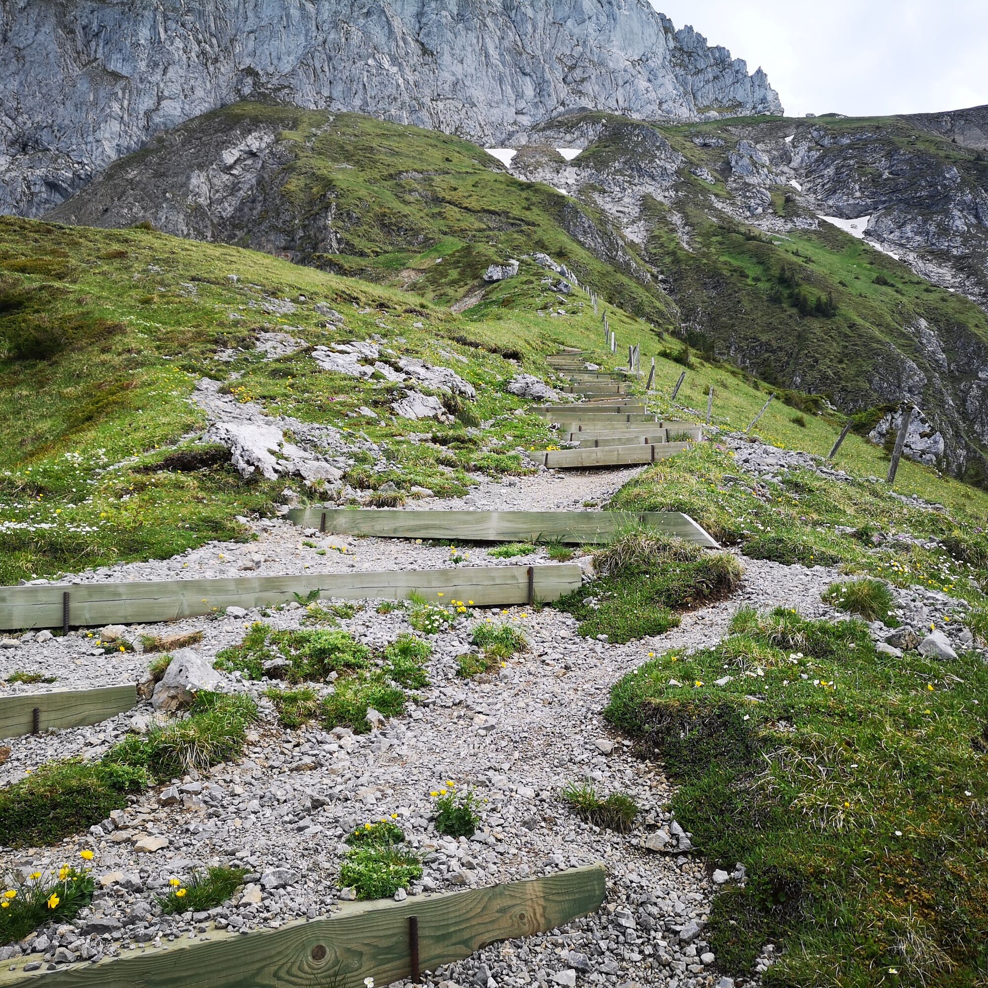
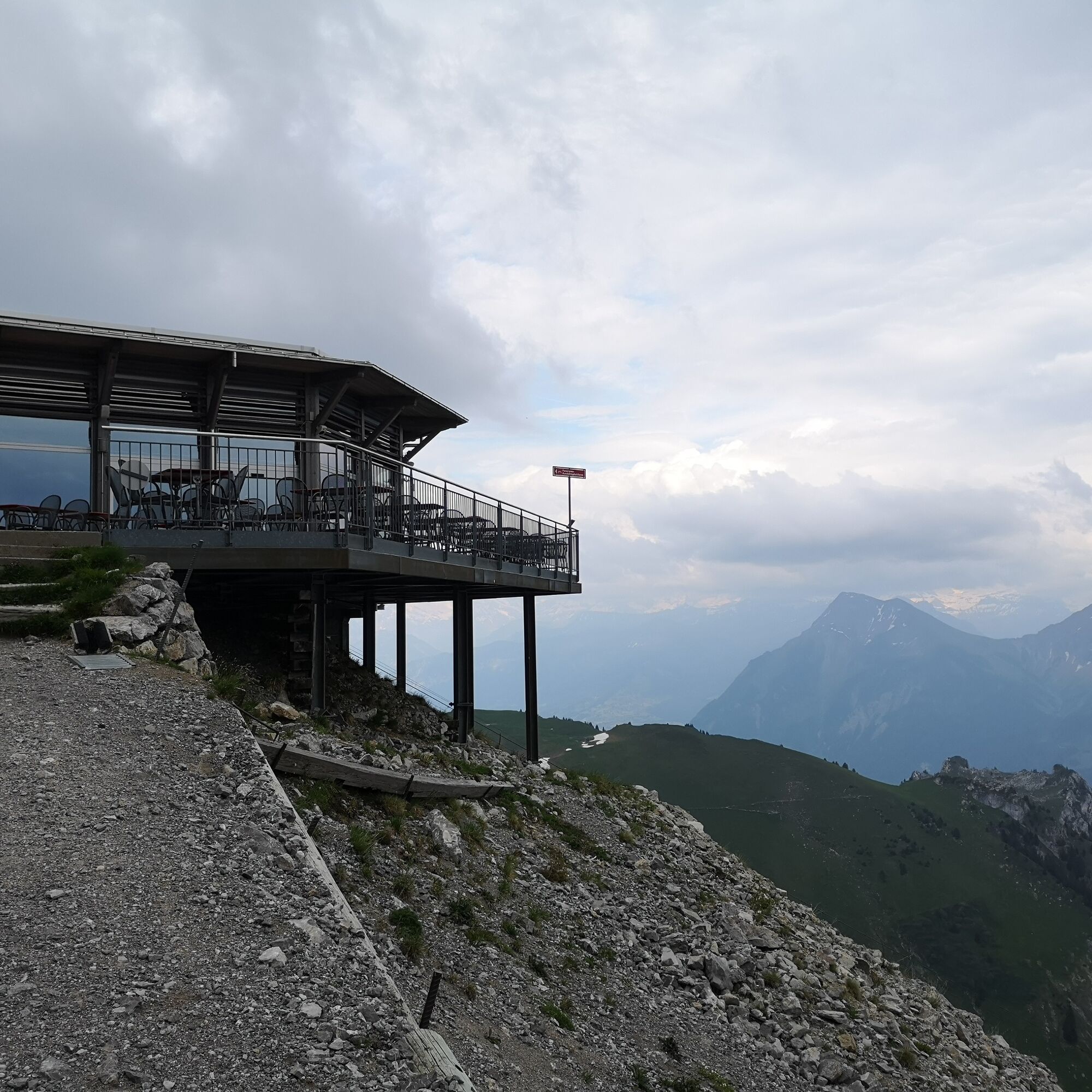
Once there, you stand at the foot of the massive rock face of the Stockhorn, which is now climbed. The final ascent should not be underestimated, as countless stairs lie ahead. The path zigzags upwards before the relieving view of the mountain station can be caught. For those who want, the last few altitude meters can be covered to the Stockhorn summit for a wonderful panoramic view, or you can enjoy the view from the restaurant.

Da
Da
Weather-appropriate hiking equipment
Arrival
Gurnigel, watershed SBB timetable
Travel by public transport at a saver price with the BLS hiking ticket.
Arrival
Route with Swiss Mobility


Priljubljeni izleti v okolici
-
4.5
Gantrisch Summit Hike, 2176 m elevation
srednjaPohodništvo 9.13 km -
4.8
Wasserscheide - Gantrisch Seeli
svetlobaPohodništvo 9.33 km -
4.7
Summit hike Ochsen, 2188 m.a.s.l.
srednjaPohodništvo 7.94 km -
4.6
Chartreuse - Thun - Hünibach - Goldiwil
srednjaPohodništvo 12.3 km -
5.0
Niesen
srednjaGorski pohodništvo 5.21 km -
4.5
Vreneli Trail Guggisberg
srednjaTematska pot 5.35 km -
Von Gasebode auf den Stand (Diemtigtal)
svetlobaSmučarska tura 9 km -
4.0
Circular hike Gürbequelle
srednjaPohodništvo 8.24 km -
Anspruchsvolle Wanderung im Simmental
srednjaPohodništvo 19.0 km -
Selibühl Panoramatrail (SchweizMobil 113)
svetlobaSnežni čevlji 4.34 km

Pohodništvo in sledenje


Ne zamudite ponudb in navdiha za naslednje počitnice
Vaš e-poštni naslov je bil dodan na poštni seznam.