







Gurnigel-Stockhorn Trail Run

Stopnja težavnosti: T3
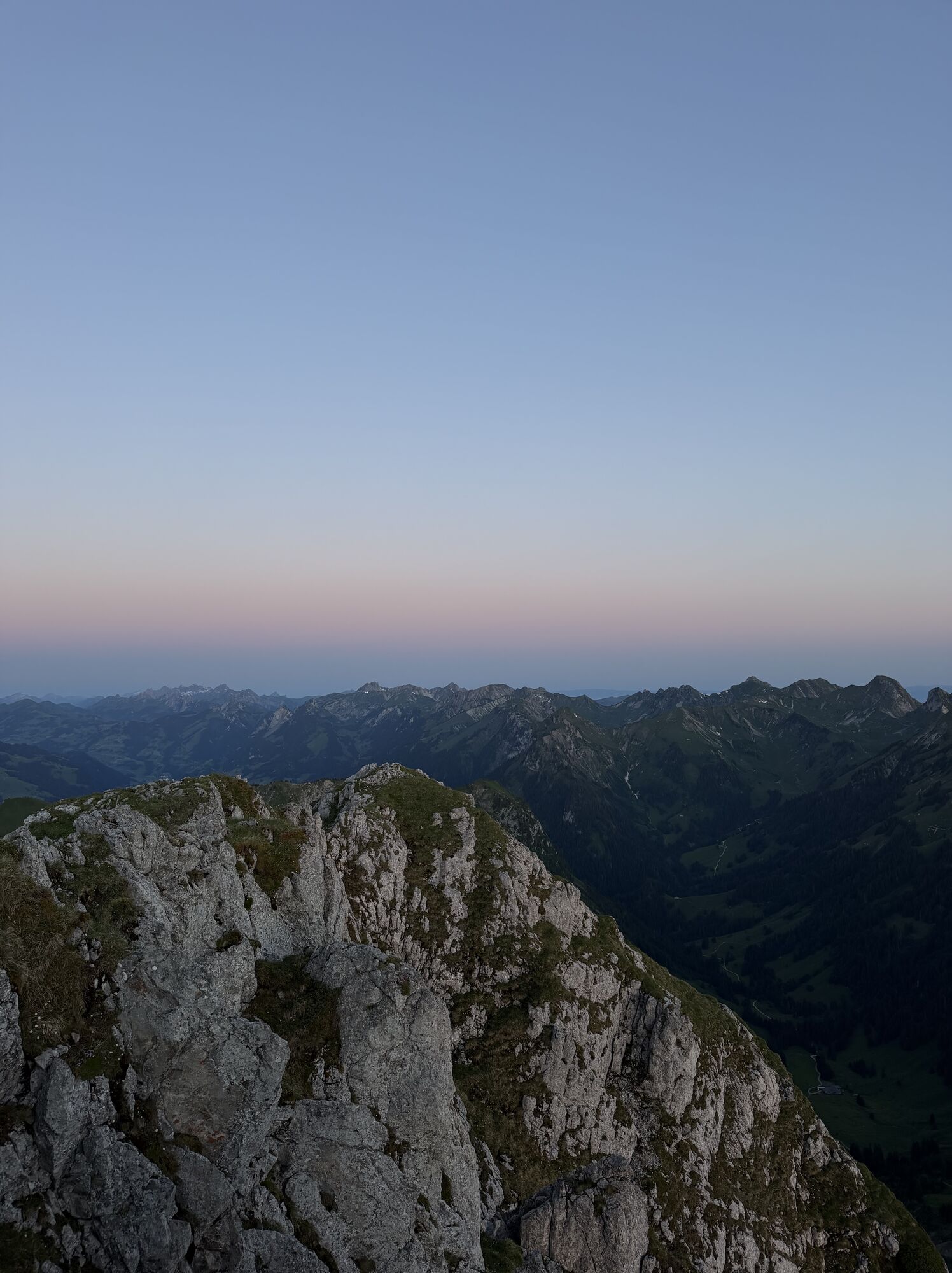
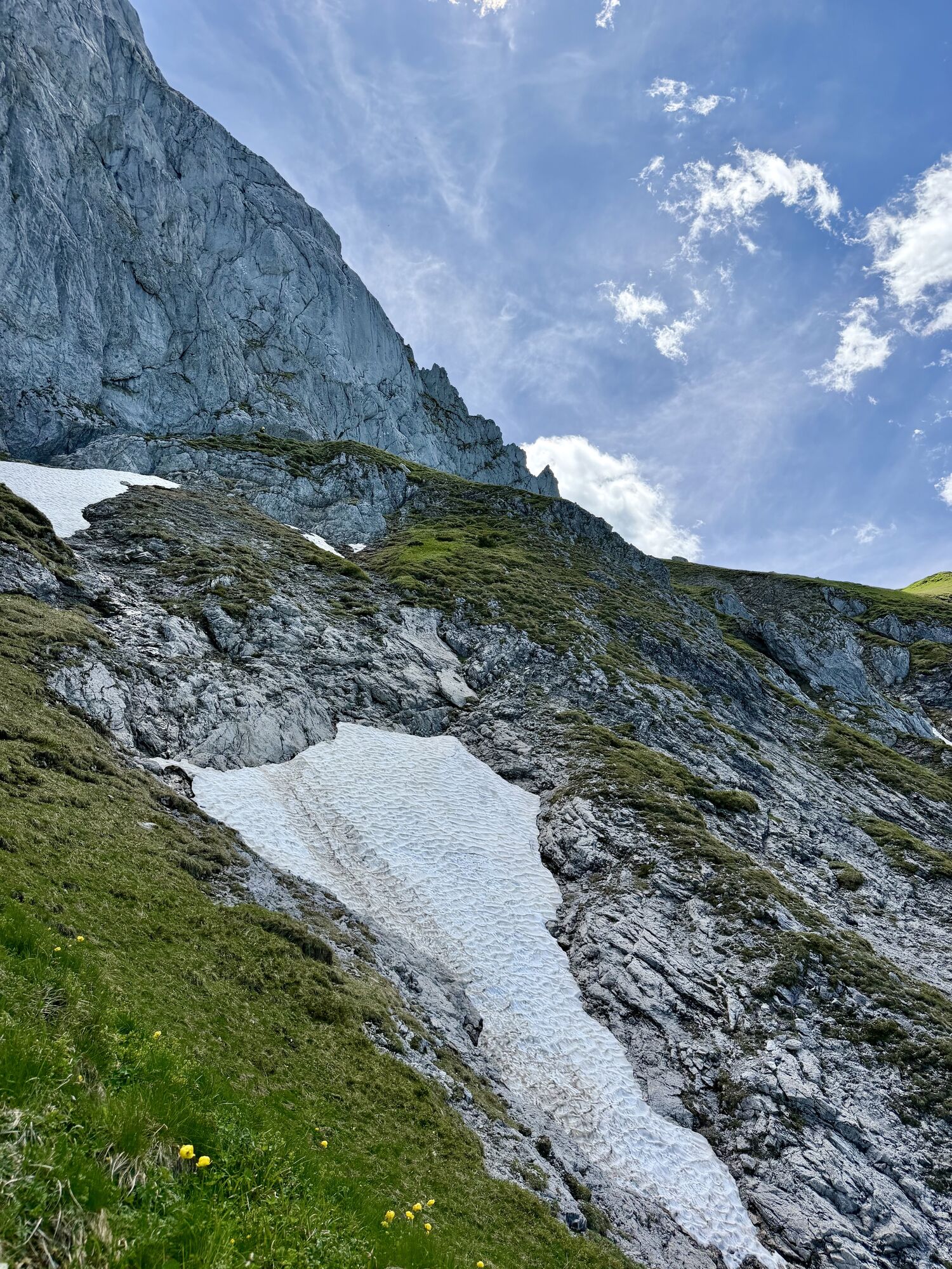
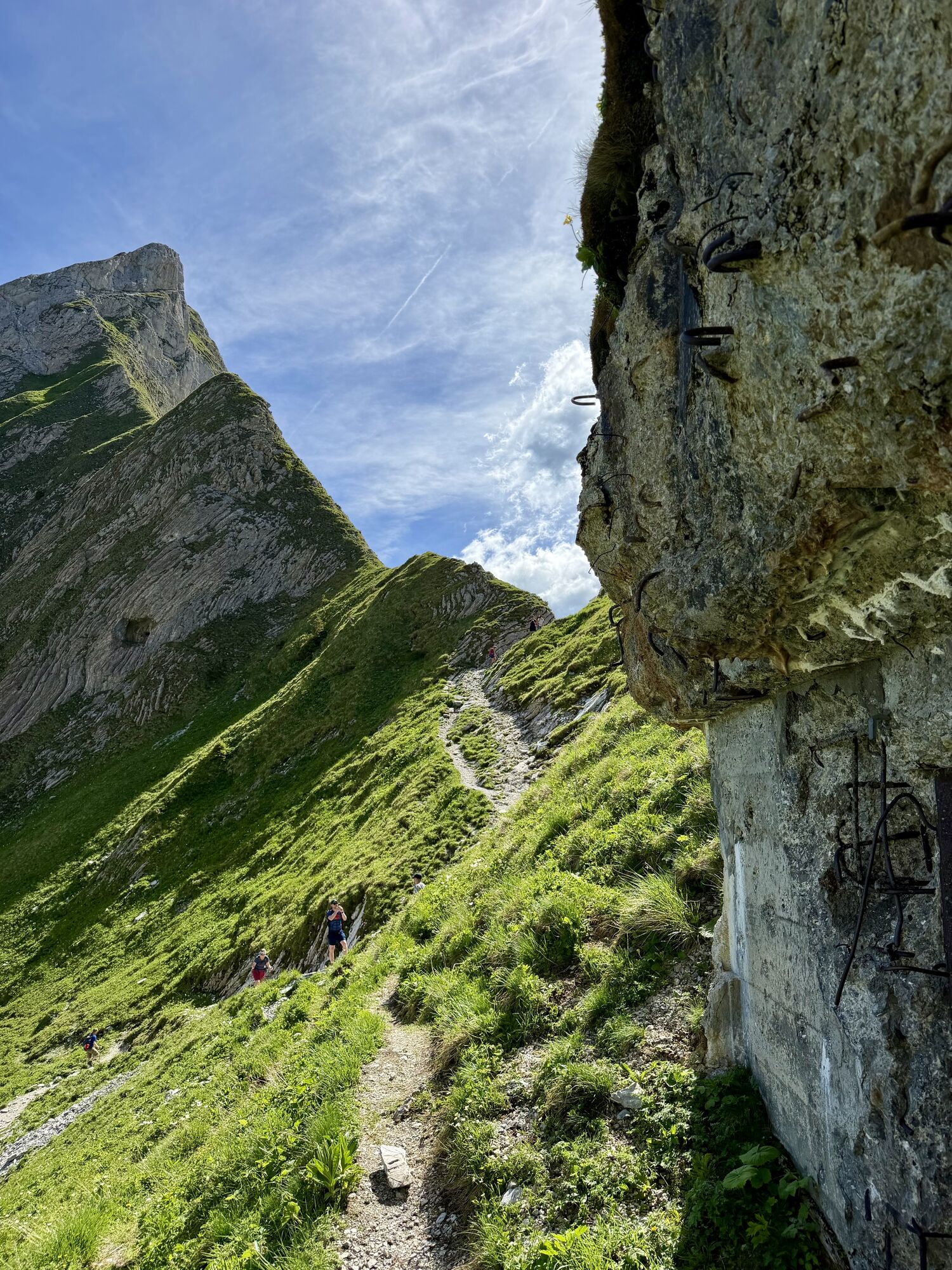
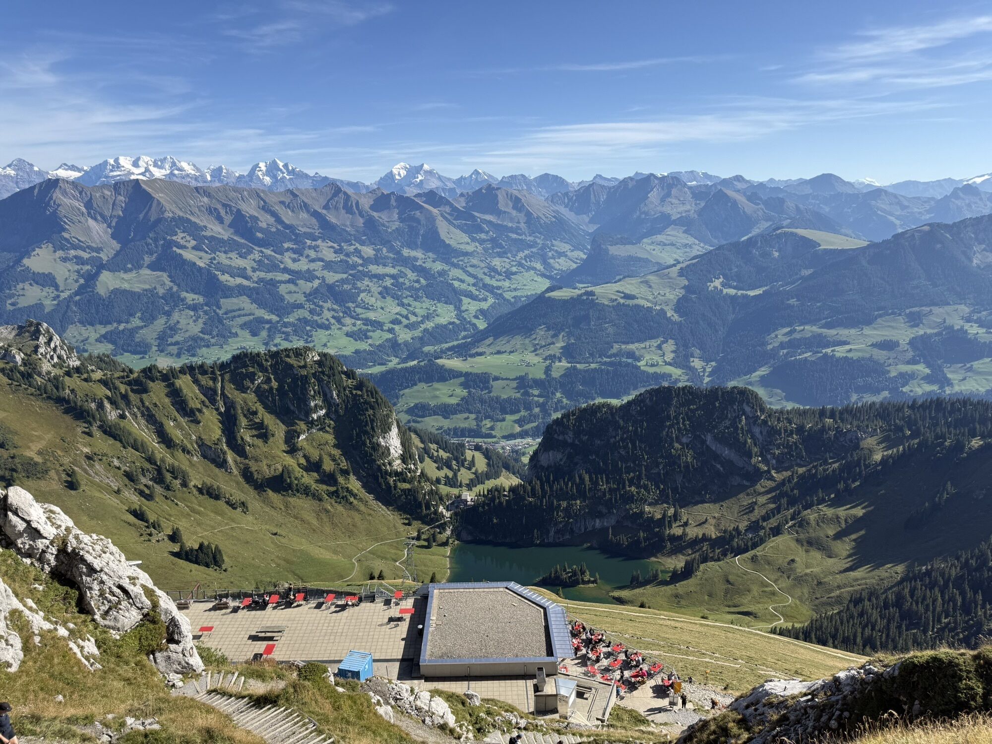

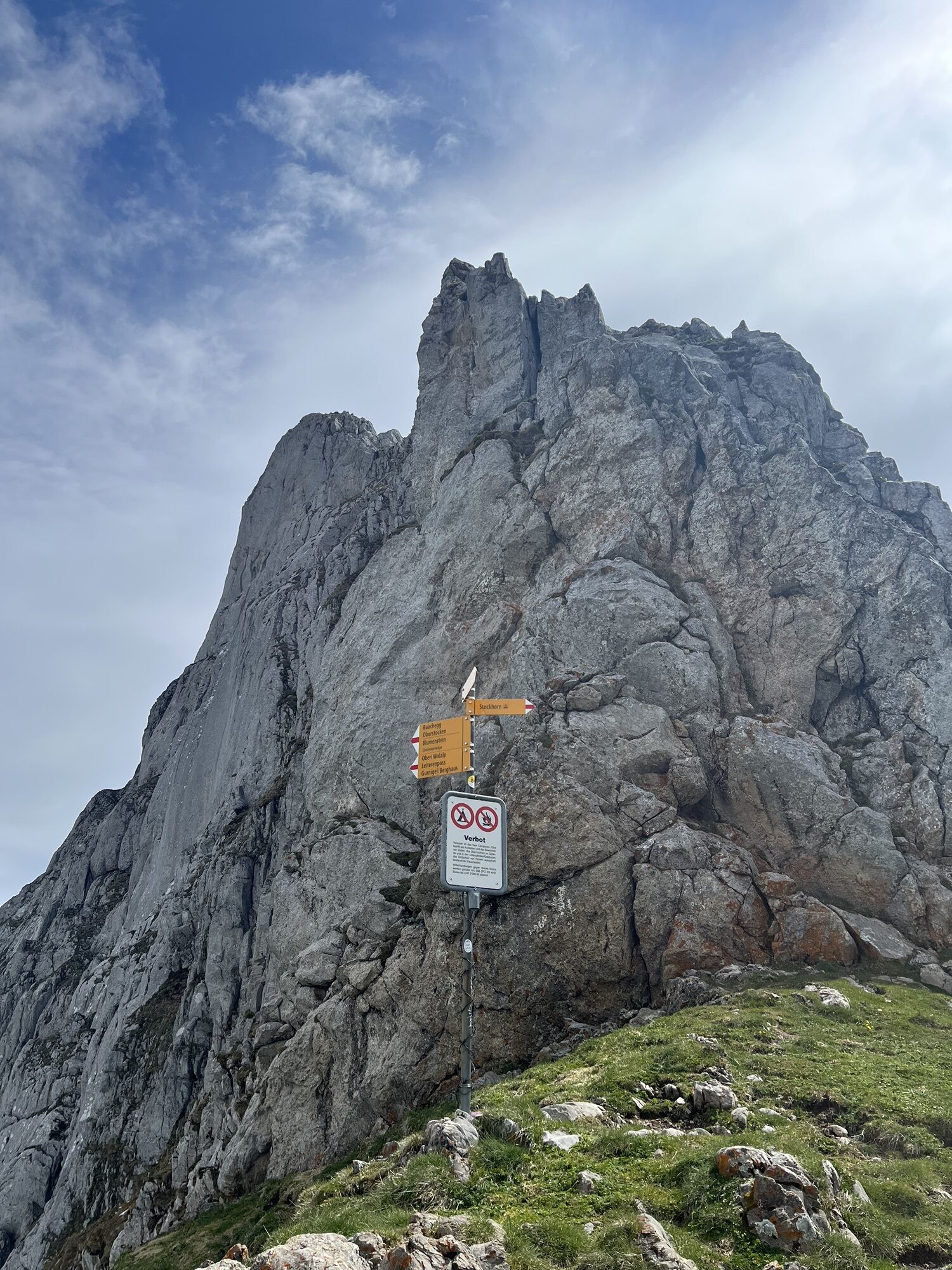
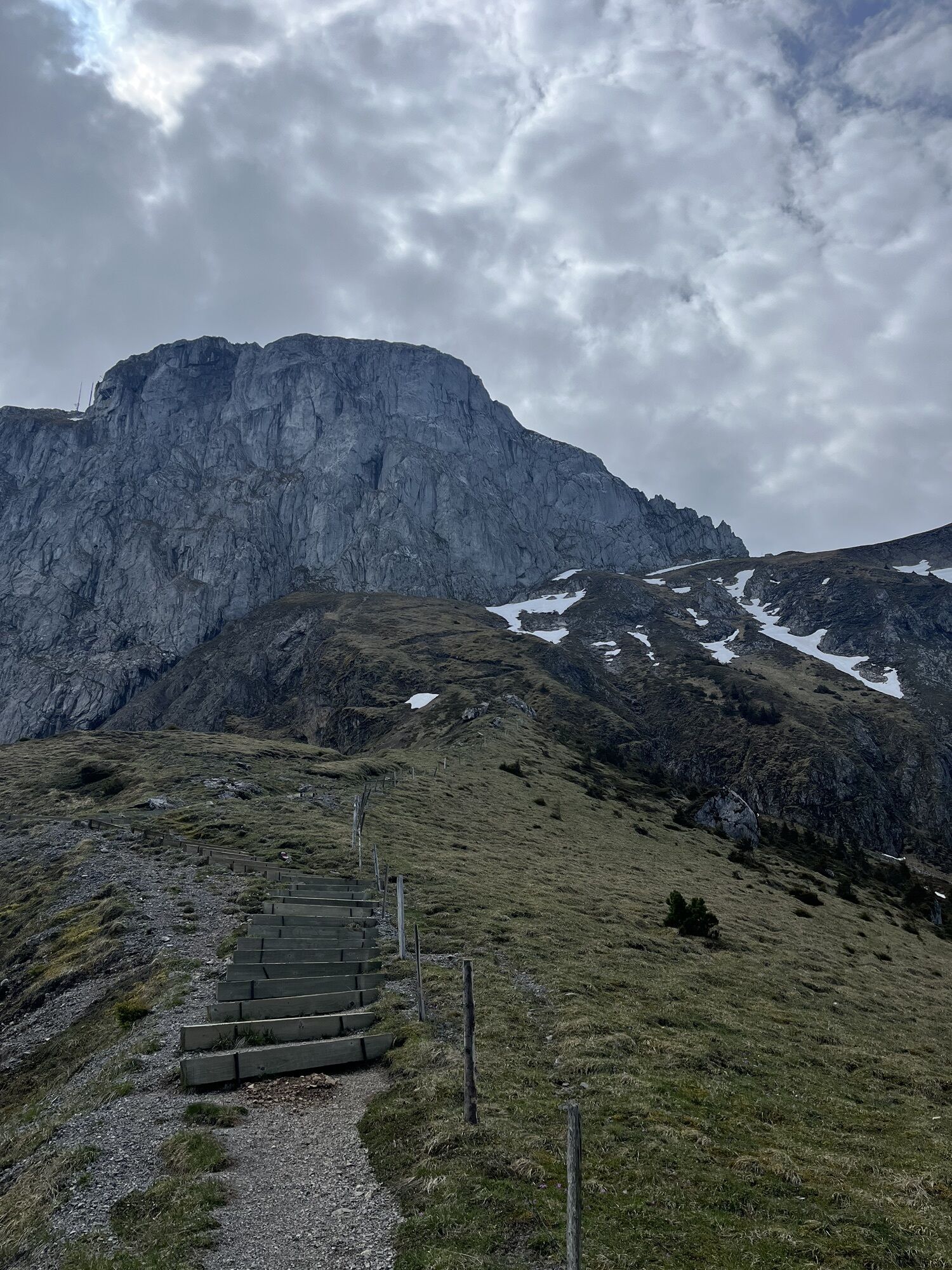
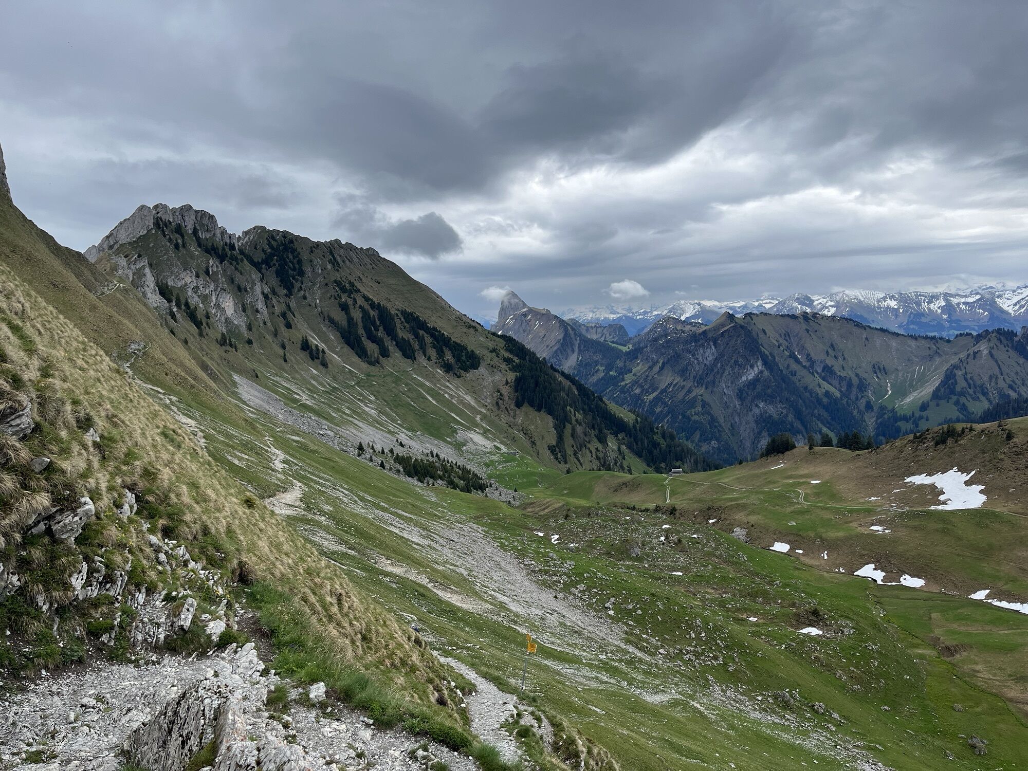
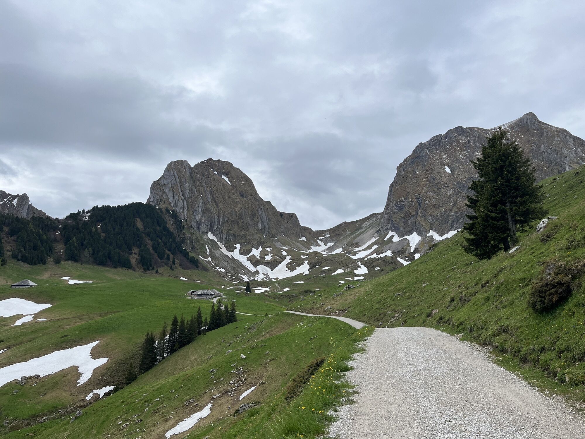
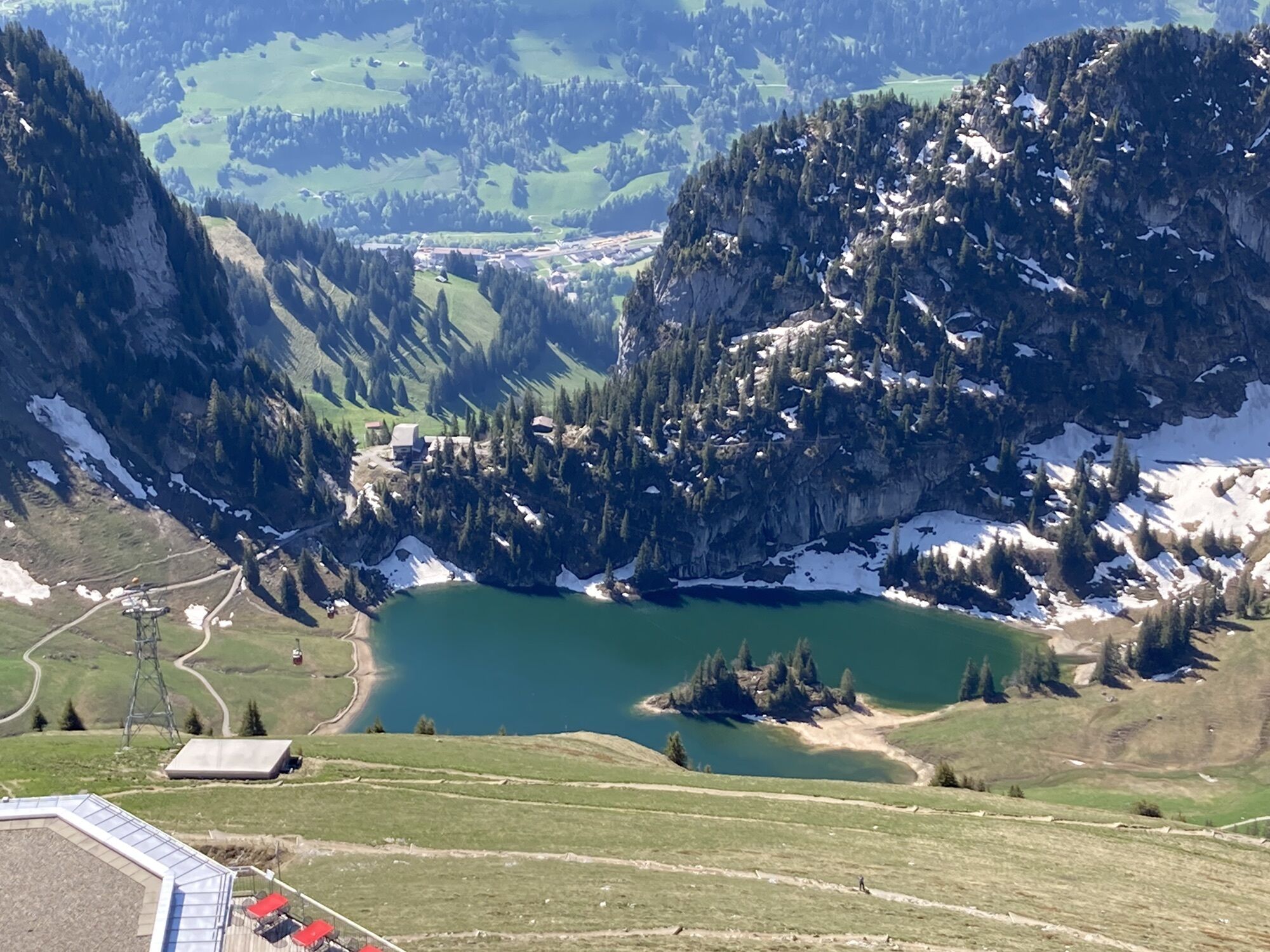

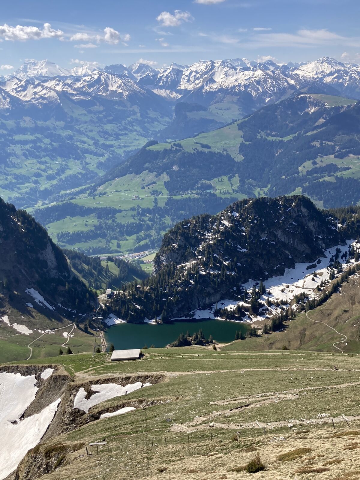
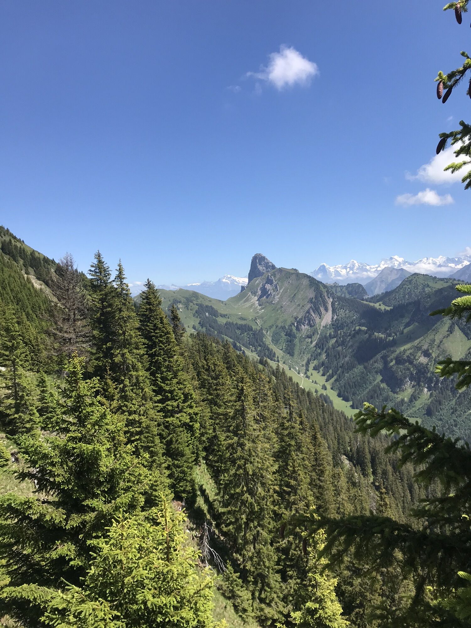
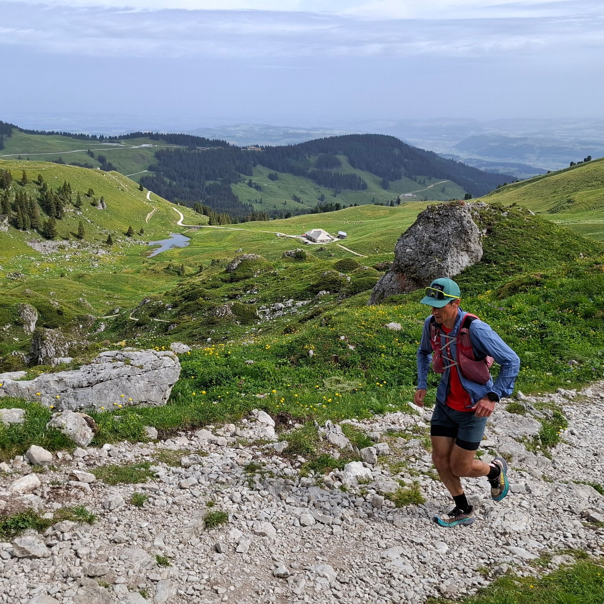
At the Gurnigel “Wasserscheide” stop, get off the bus and walk for a short while along the pass road, then head uphill on a gravel path toward Alp Obernünene. But here the trail becomes rugged and steep...
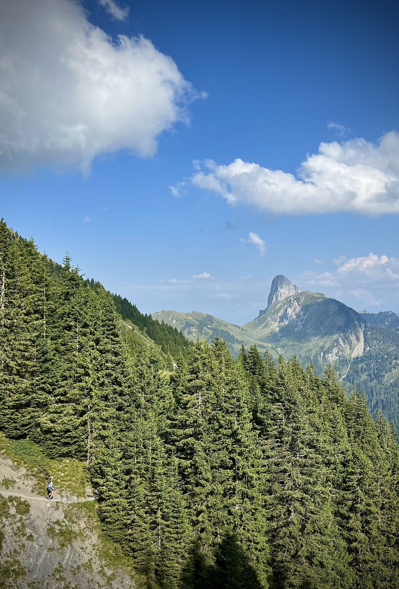
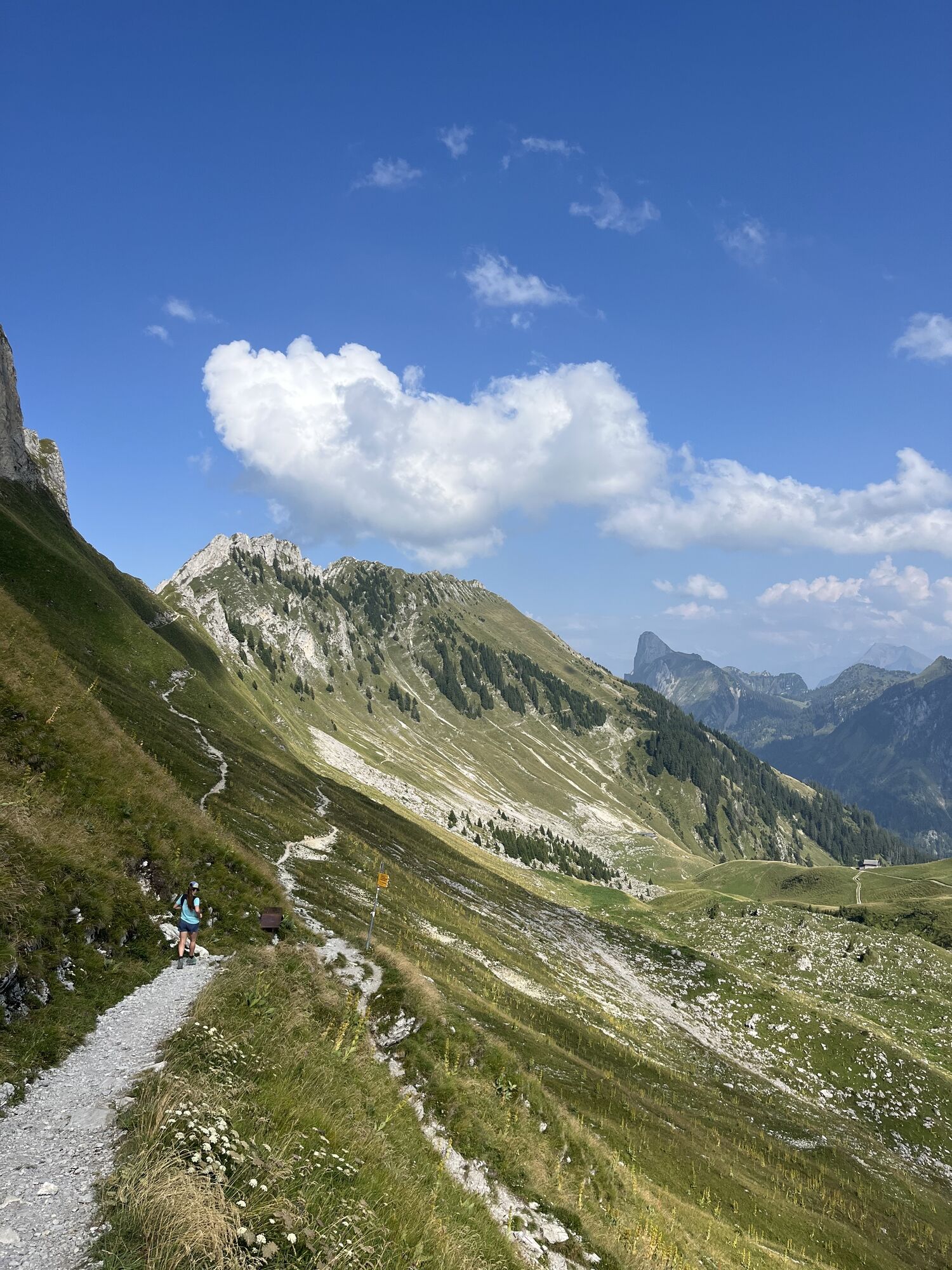
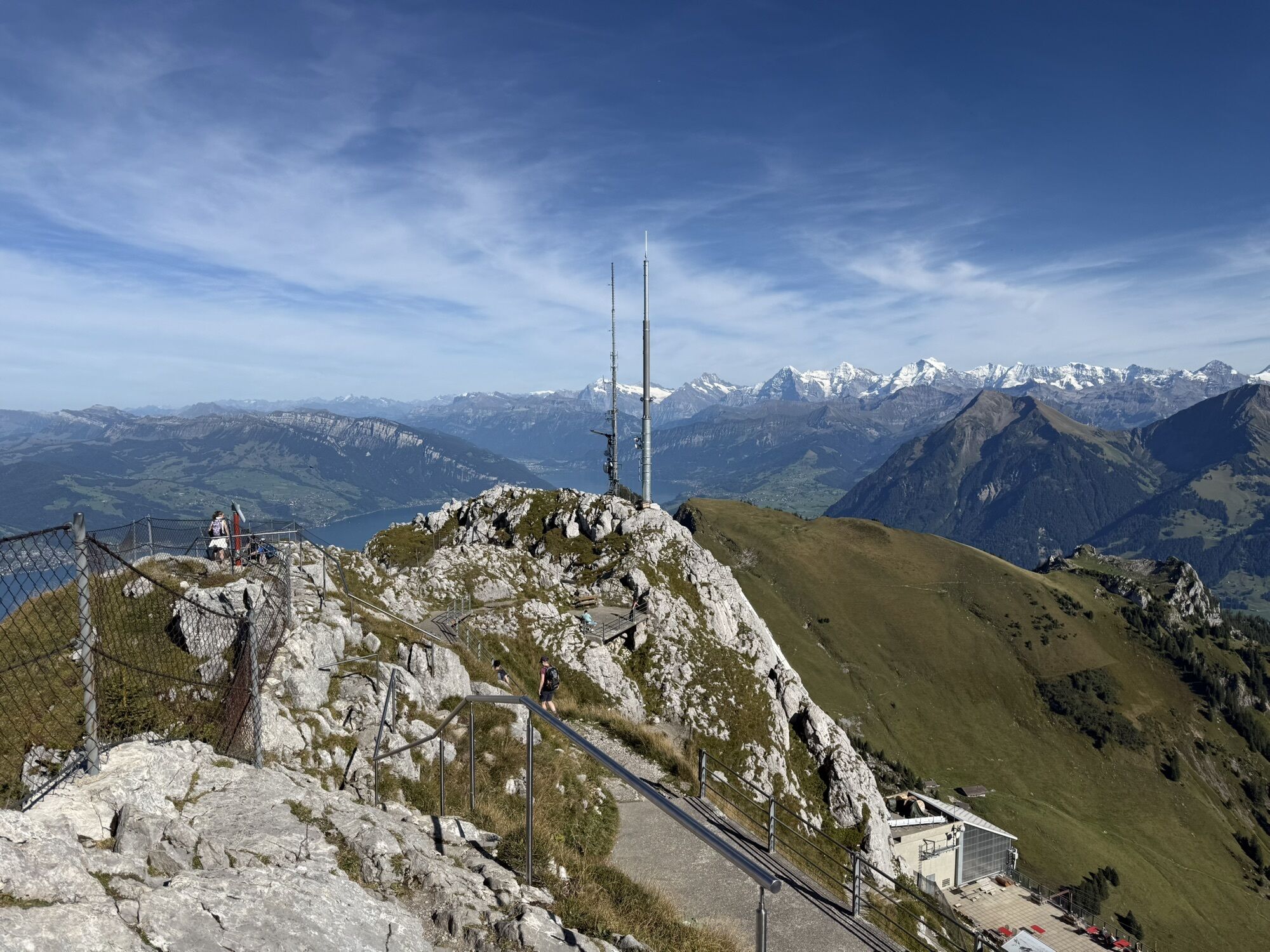
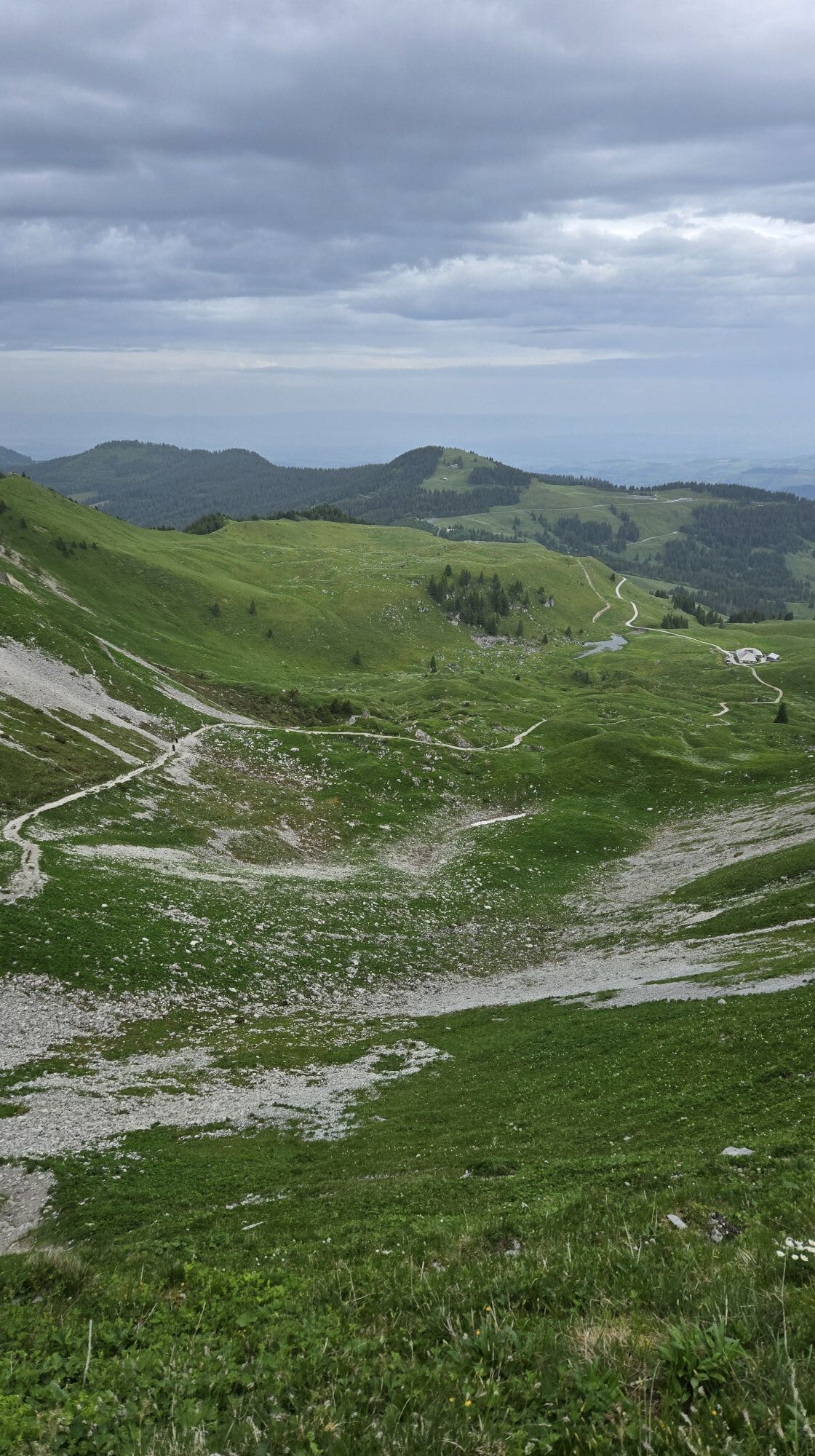
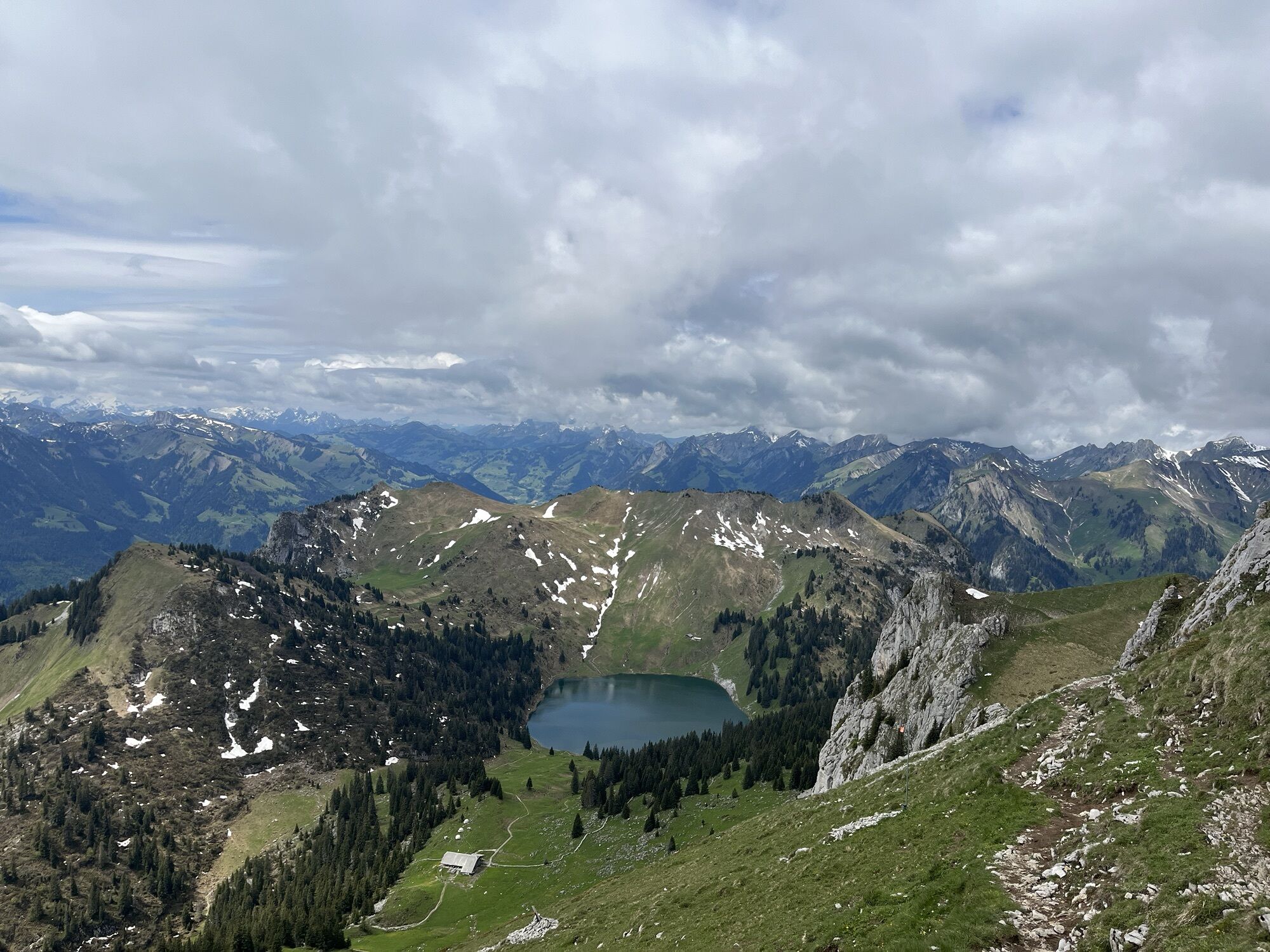
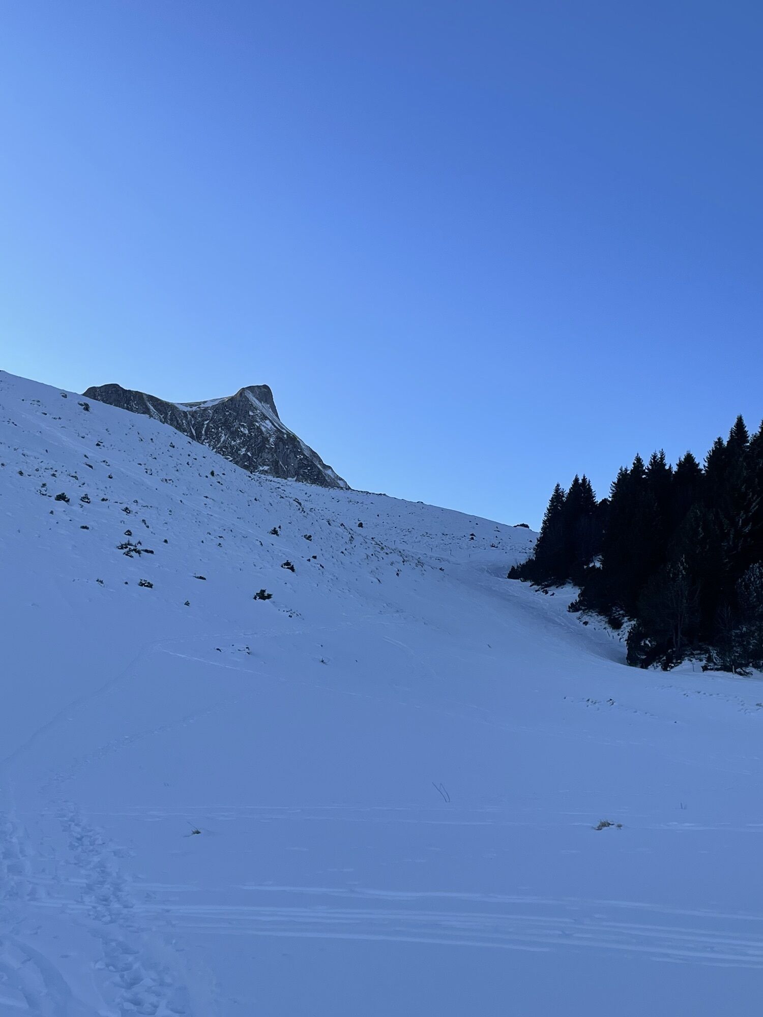
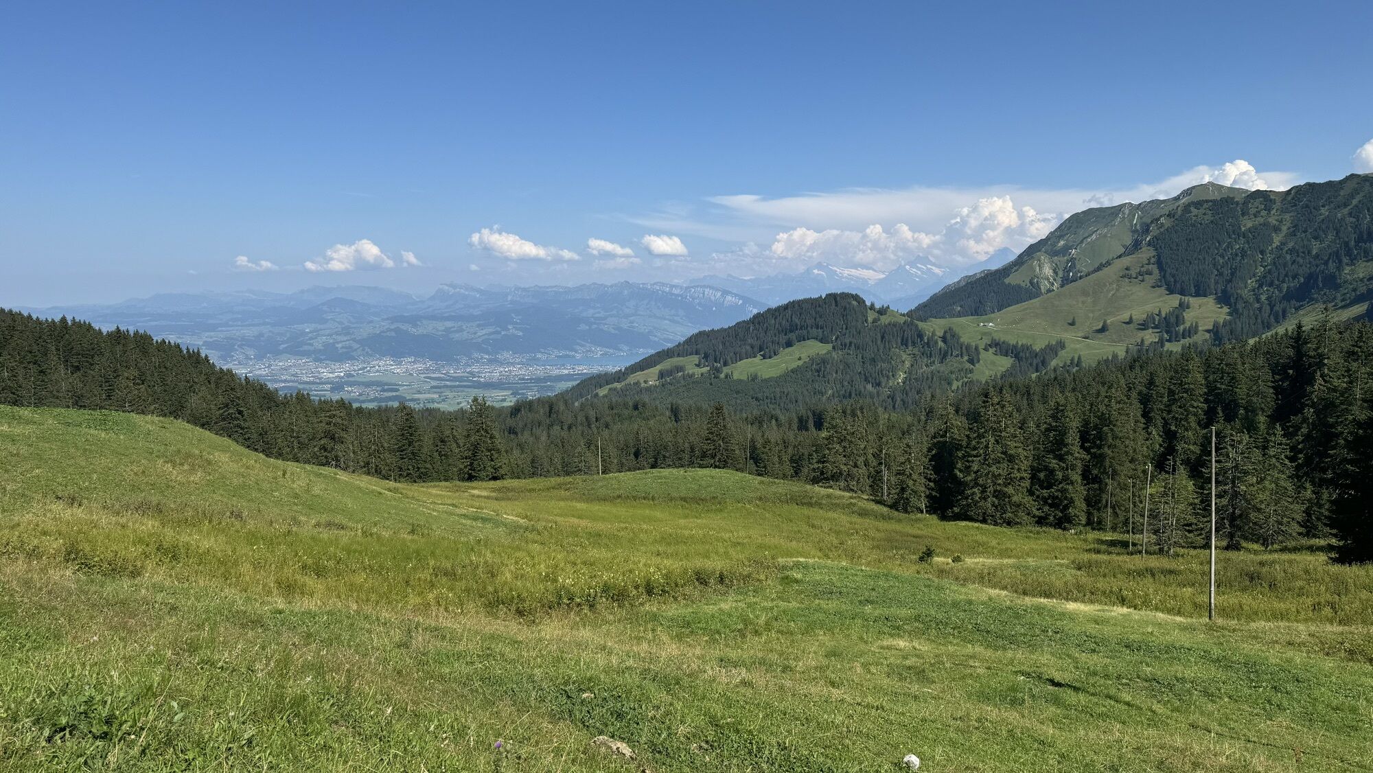
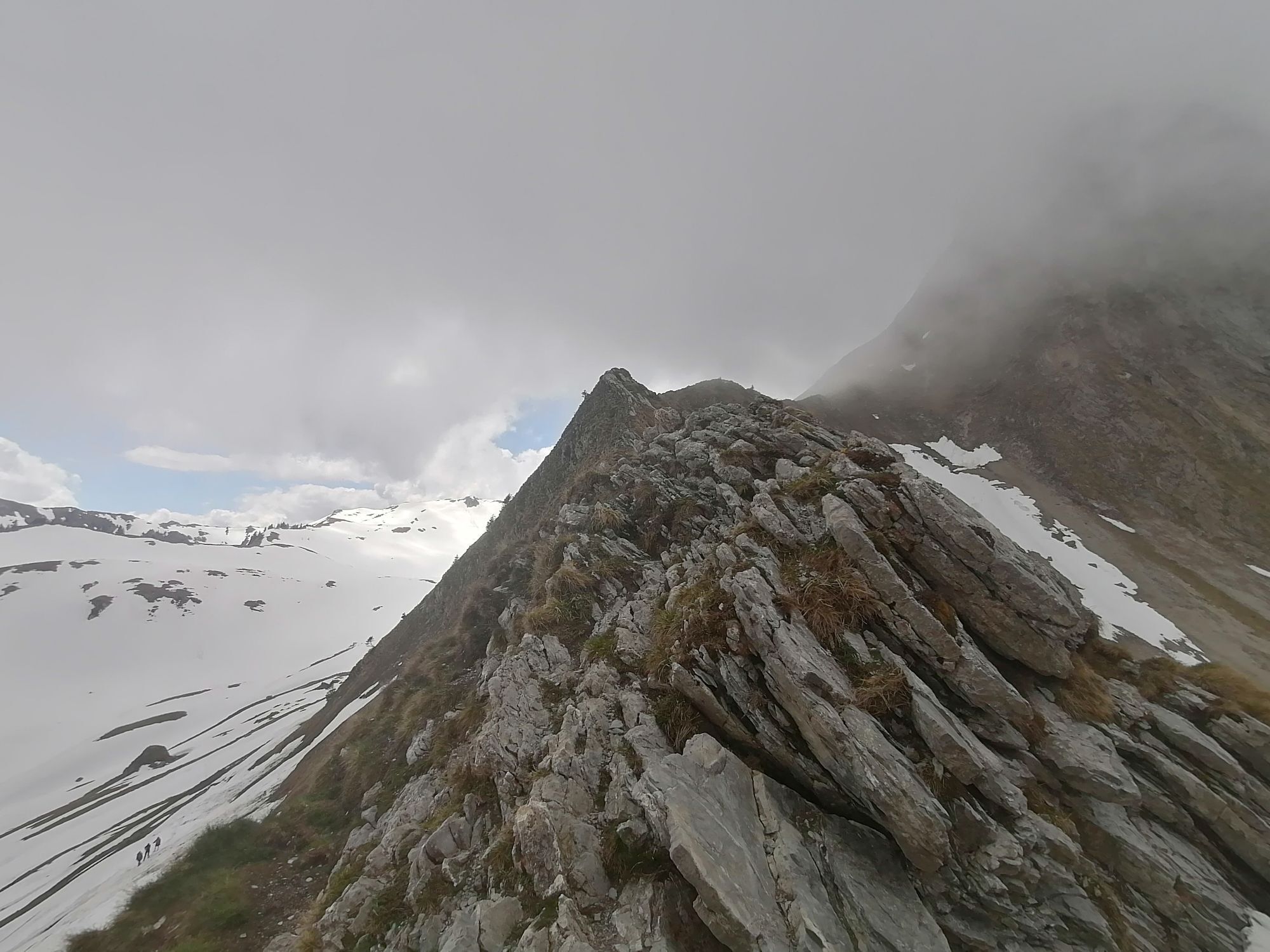
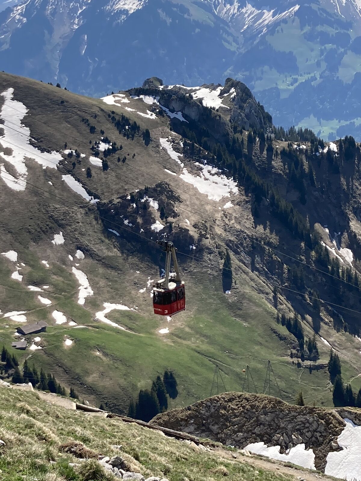
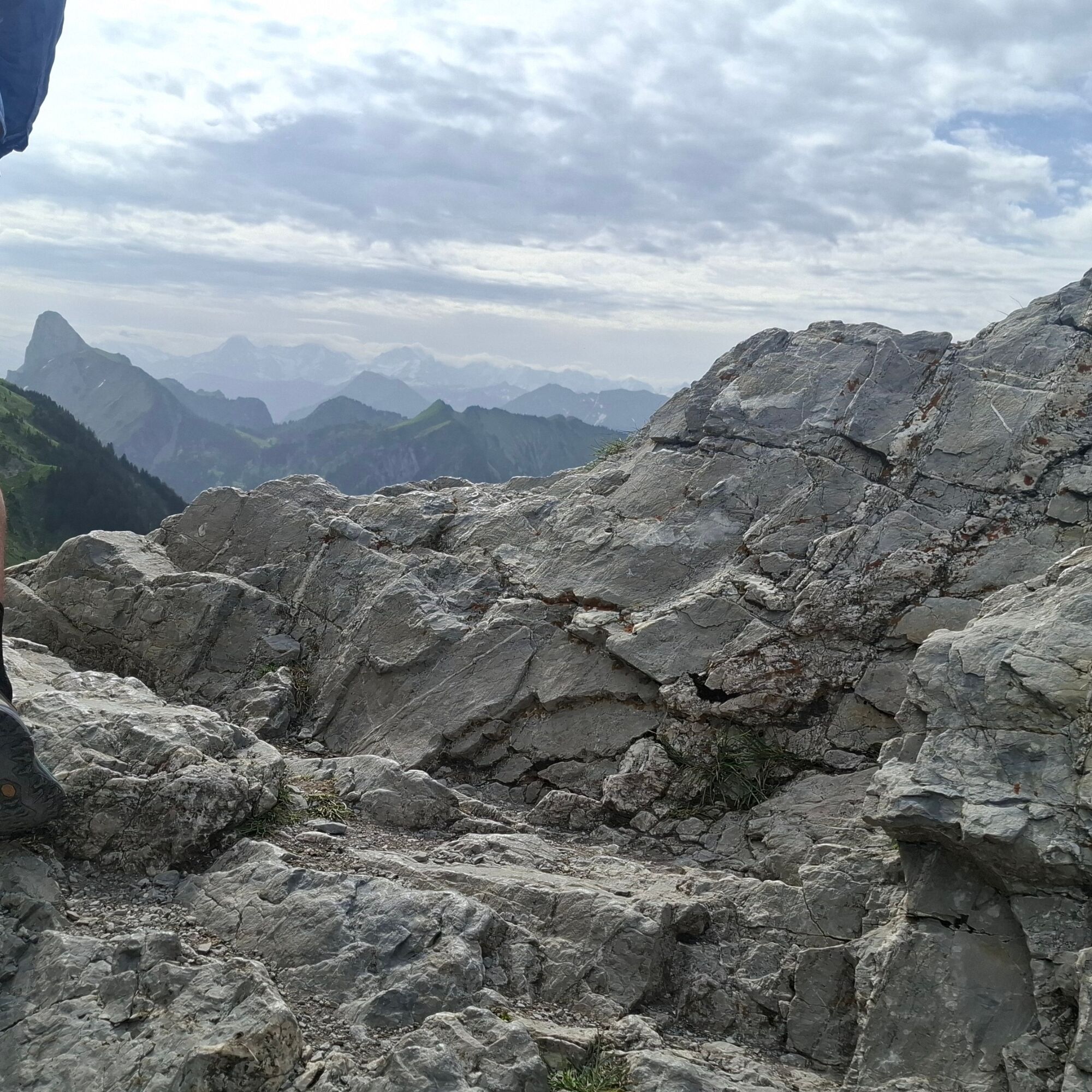
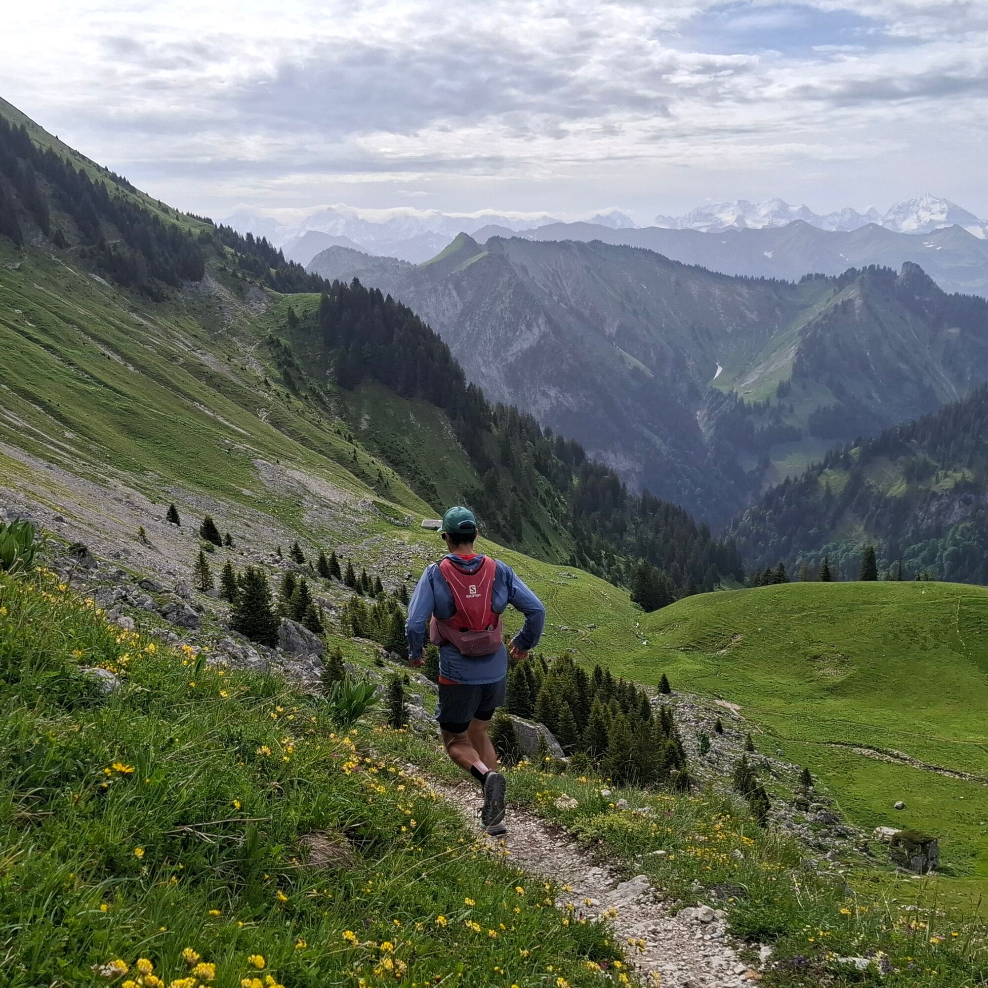
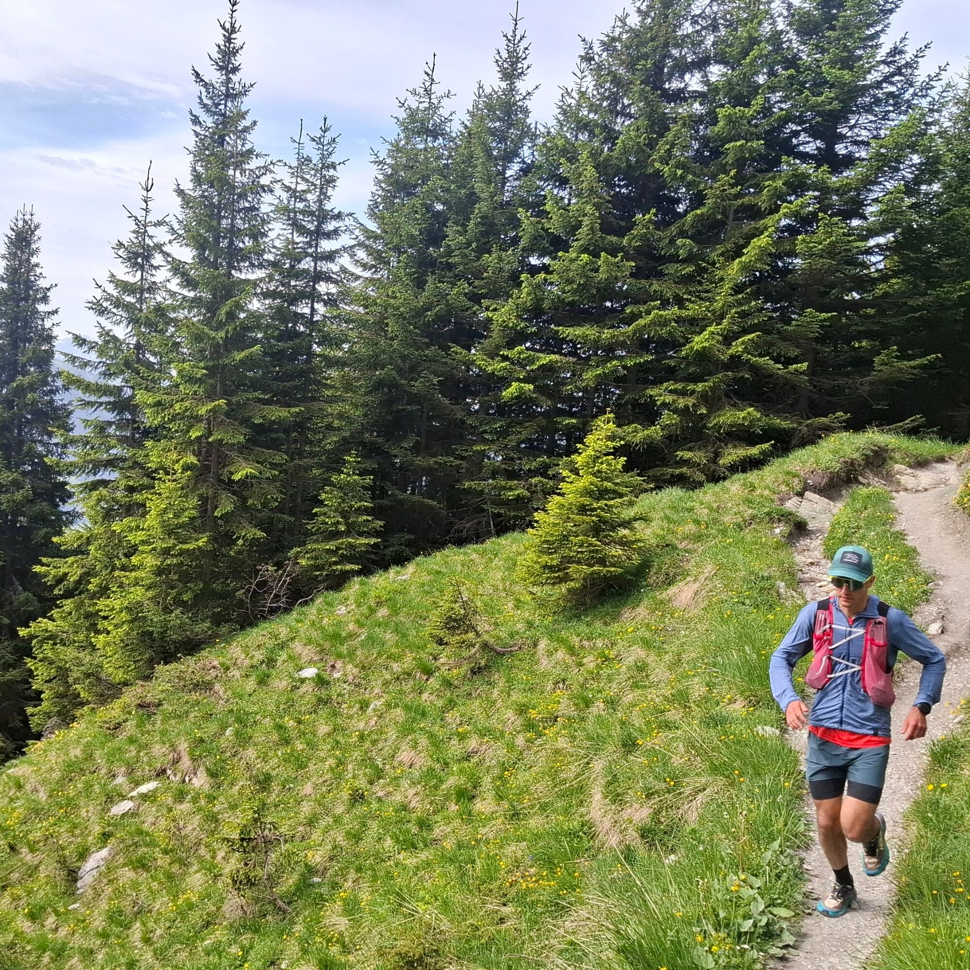
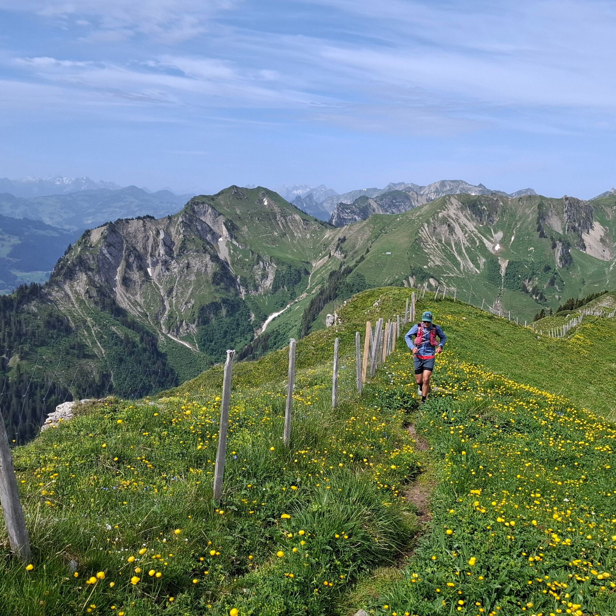
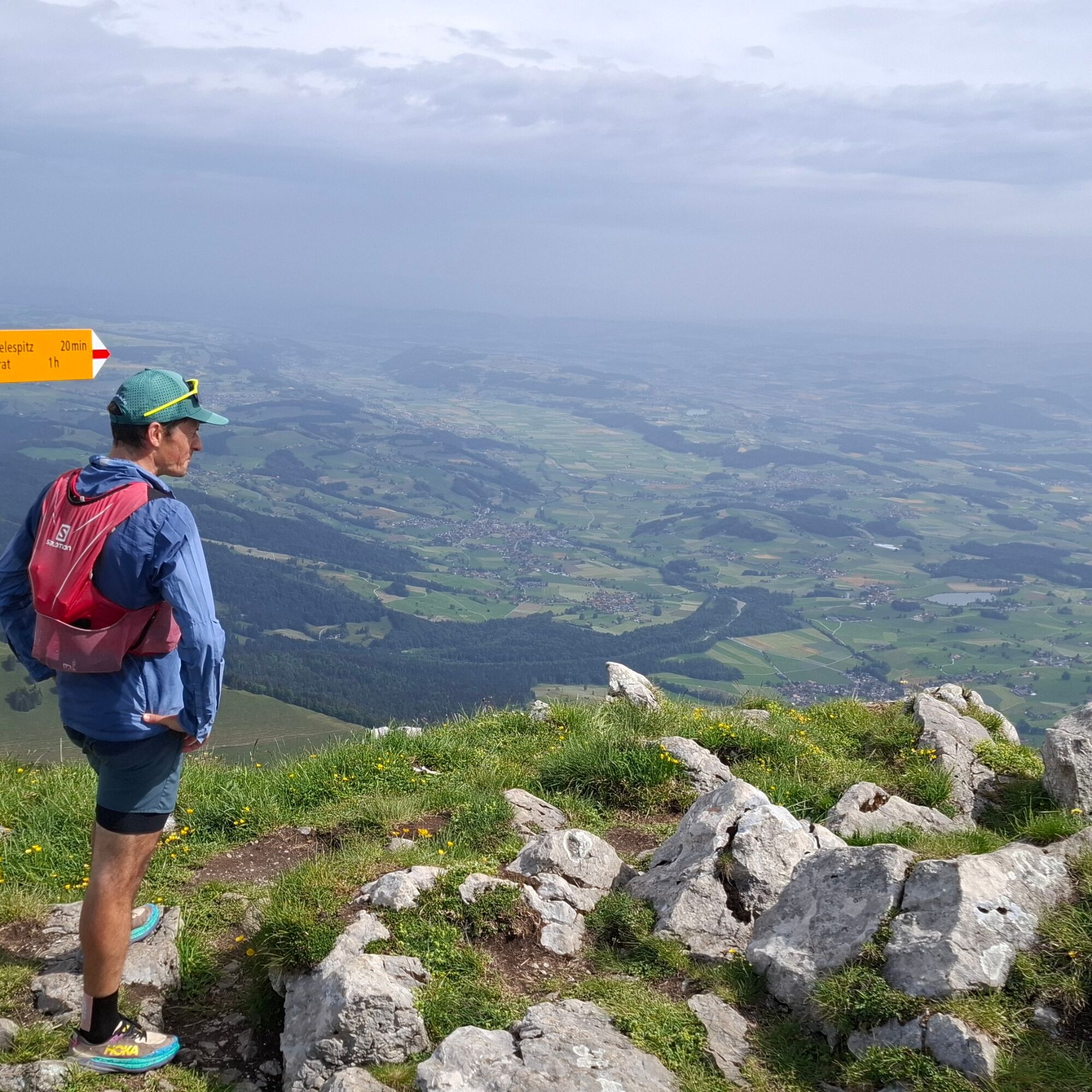
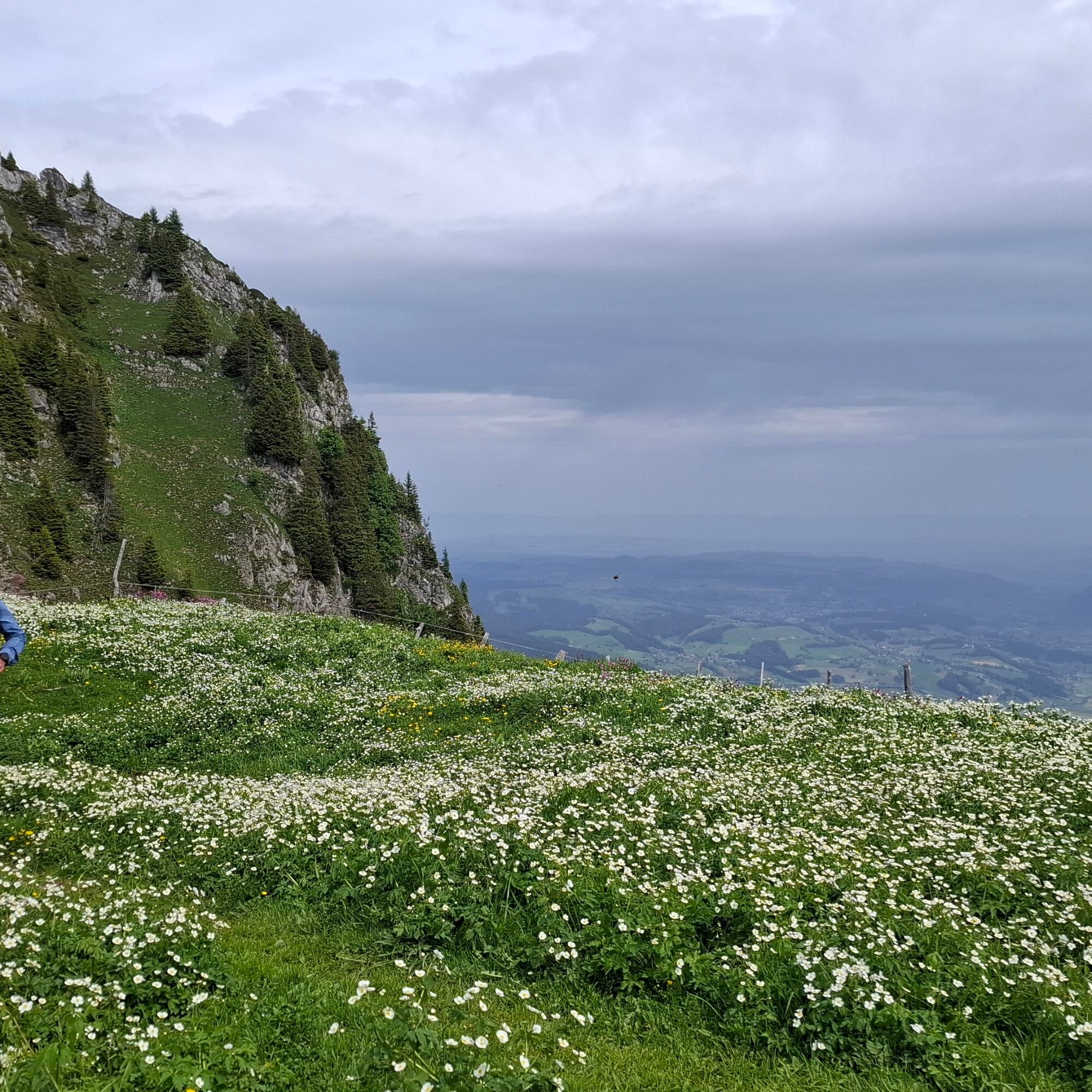
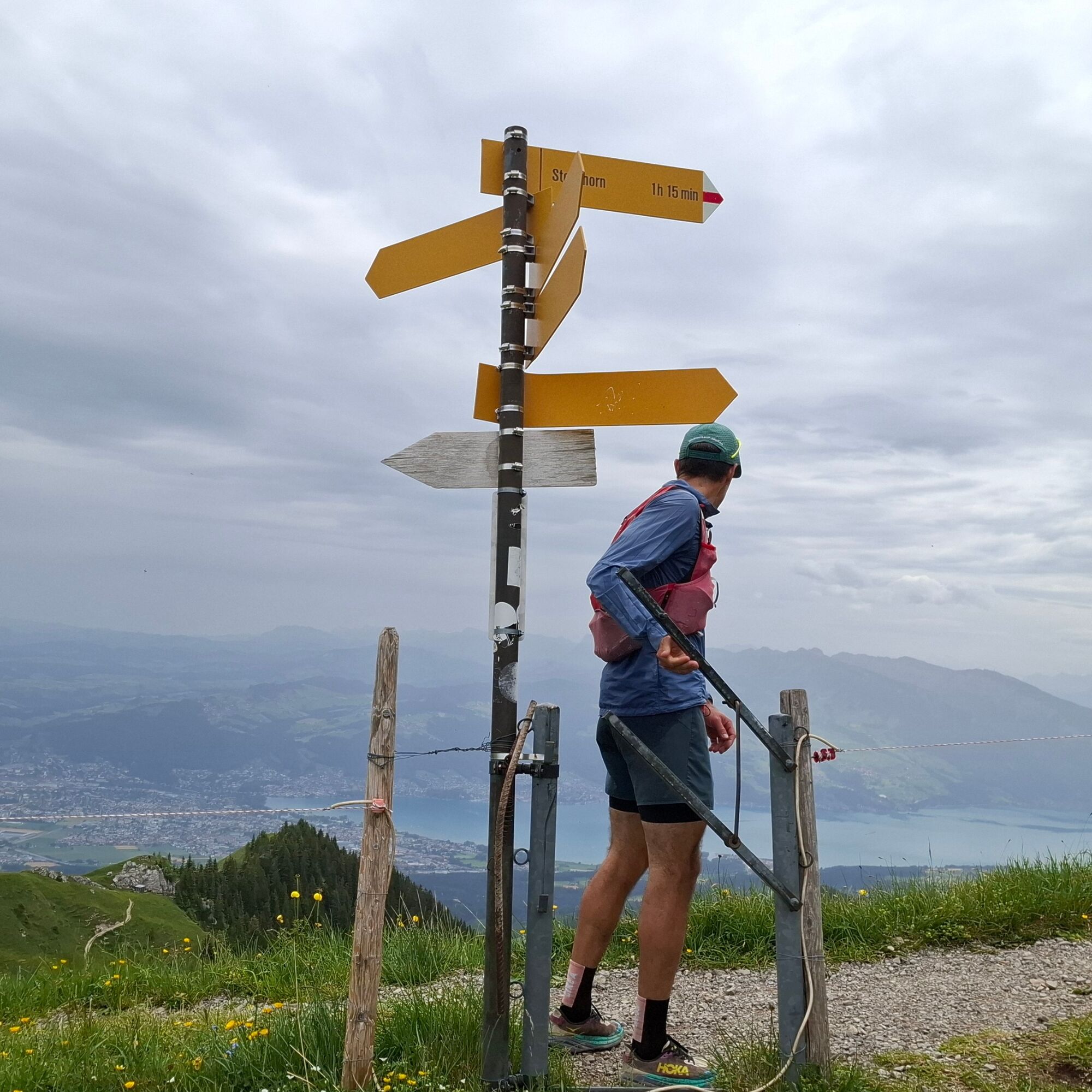
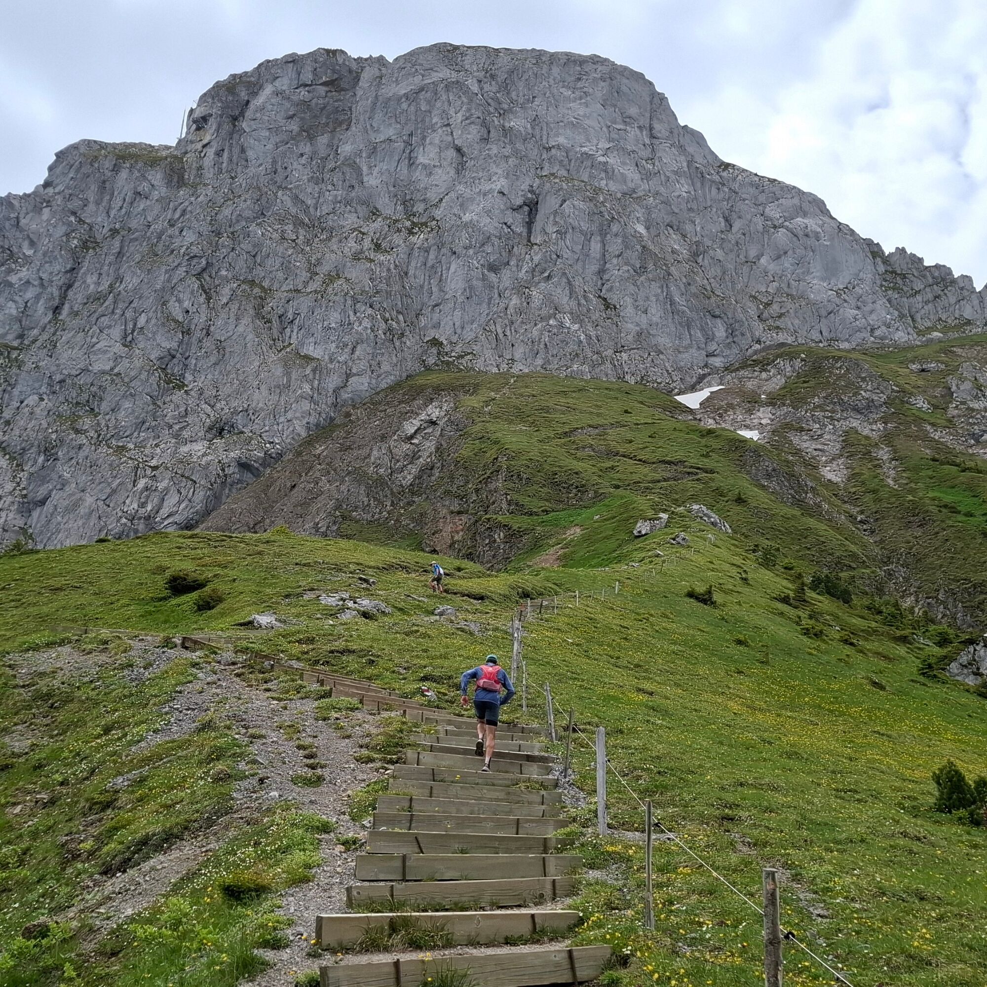
At the Gurnigel “Wasserscheide” stop, get off the bus and walk for a short while along the pass road, then head uphill on a gravel path toward Alp Obernünene. But here the trail becomes rugged and steep until you finally catch your first glimpse of the High Alps and your destination, the Stockhorn summit, from the Leitere Pass. After a short stretch along the southern slope of the Chrummfadeflue, turn north toward Homadsattel. If you want to skip the technically challenging ridge section, you can take a shortcut straight ahead here. After a short climb, you’ll first reach the Homad, then—on terrain that becomes increasingly technical—the Mötschelespitz. Both peaks offer breathtaking views. The rugged ridge trail now leads downhill toward Chatz and Mus and, passing through the beautiful and protected dry meadows, finally to Obere Walalp. After a short climb, you reach Furgge Bachegg, where a wonderful view of Lake Thun opens up. The last kilometer promises to get your heart racing once again, as it involves a 300-meter climb up to the Stockhorn. You made it! Now the Stockhornbahn takes you down to Erlenbach, from where you can catch a train to head home.

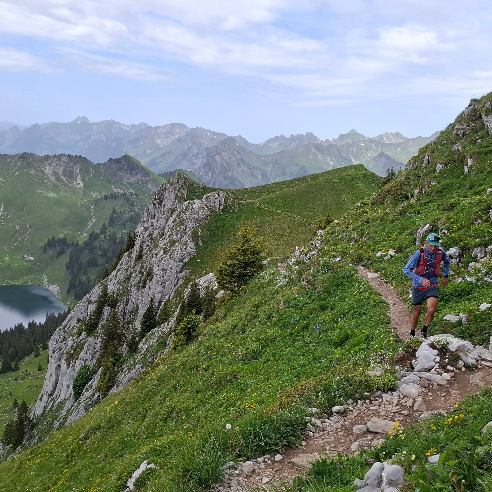

Trail running shoes, trail backpack with gel/drink, sunscreen, and possibly trekking poles
Getting There
Getting Here
T3
Lodging: Berghaus Gurnigel, Alp Chuebärg, Obere Walalp. Please be considerate of hikers.
Spletne kamere s turneje

Priljubljeni izleti v okolici
- 4,6
Gantrisch Summit Hike, 2176 m elevation
srednjaPohodništvo 9,13 km - 4,5
Wasserscheide - Gantrisch Seeli
svetlobaPohodništvo 9,33 km - 4,3
High-altitude hike Gurnigel - Stockhorn
srednjaPohodništvo 11,2 km - 4,8
Summit hike Ochsen, 2188 m above sea level
srednjaPohodništvo 7,94 km - 4,8
Niesen
srednjaGorski pohodništvo 5,21 km - 5,0
Oberstockenalp
svetlobaPohodništvo 6,26 km - 4,0
Circular hike Gürbequelle
srednjaPohodništvo 8,24 km - 4,8
Dreiangel - Thoracker - Stockhorn - Chrindi
težkoPohodništvo 11,4 km Anspruchsvolle Wanderung im Simmental
srednjaPohodništvo 19,0 km- 4,5
Kaisereggpass
srednjaPohodništvo 17,9 km

Pohodništvo in sledenje


Ne zamudite ponudb in navdiha za naslednje počitnice
Vaš e-poštni naslov je bil dodan na poštni seznam.





