






Schwarzenbühl Panorama Trail (SchweizMobil 112)

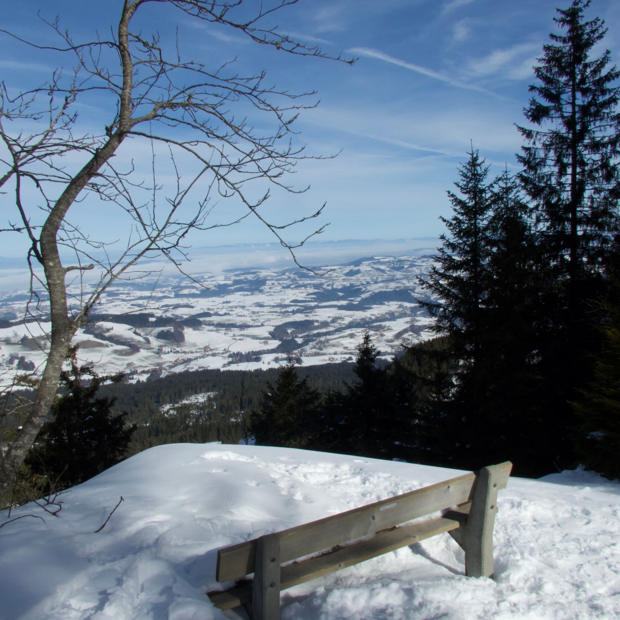
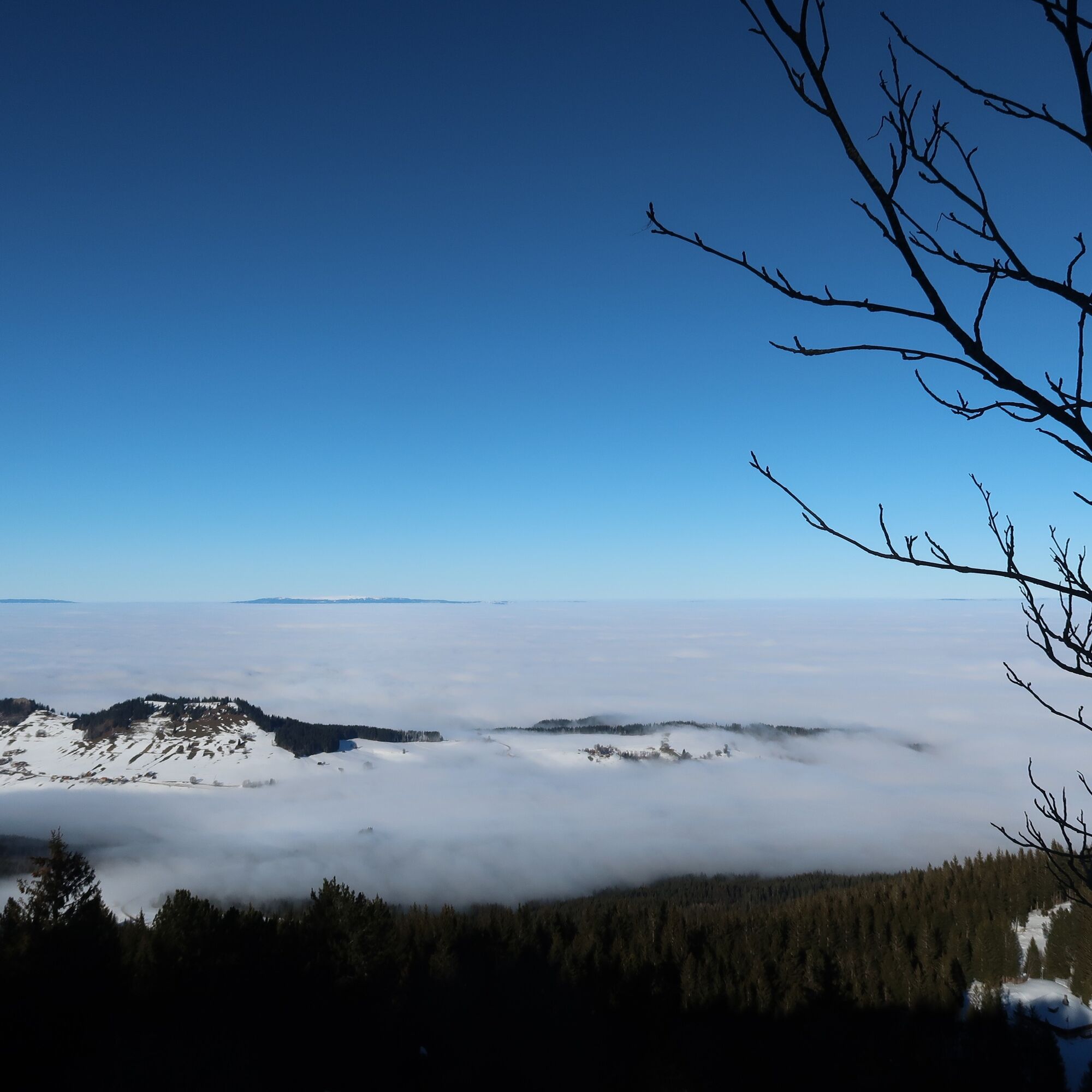
Together with the groomed winter hiking trails, interesting combination options arise for longer or shorter routes. The trail through the open fir forest up to the Pfyffe offers a beautiful view out into...
Together with the groomed winter hiking trails, interesting combination options arise for longer or shorter routes. The trail through the open fir forest up to the Pfyffe offers a beautiful view out into the Swiss Plateau or to the Bernese and Fribourg Prealps.
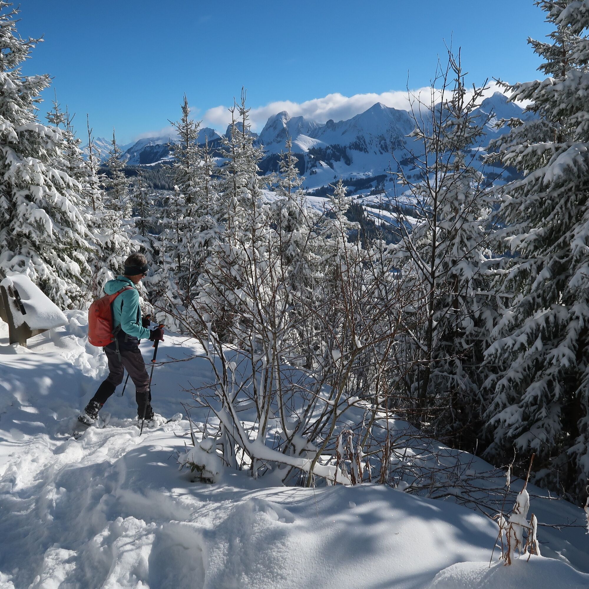
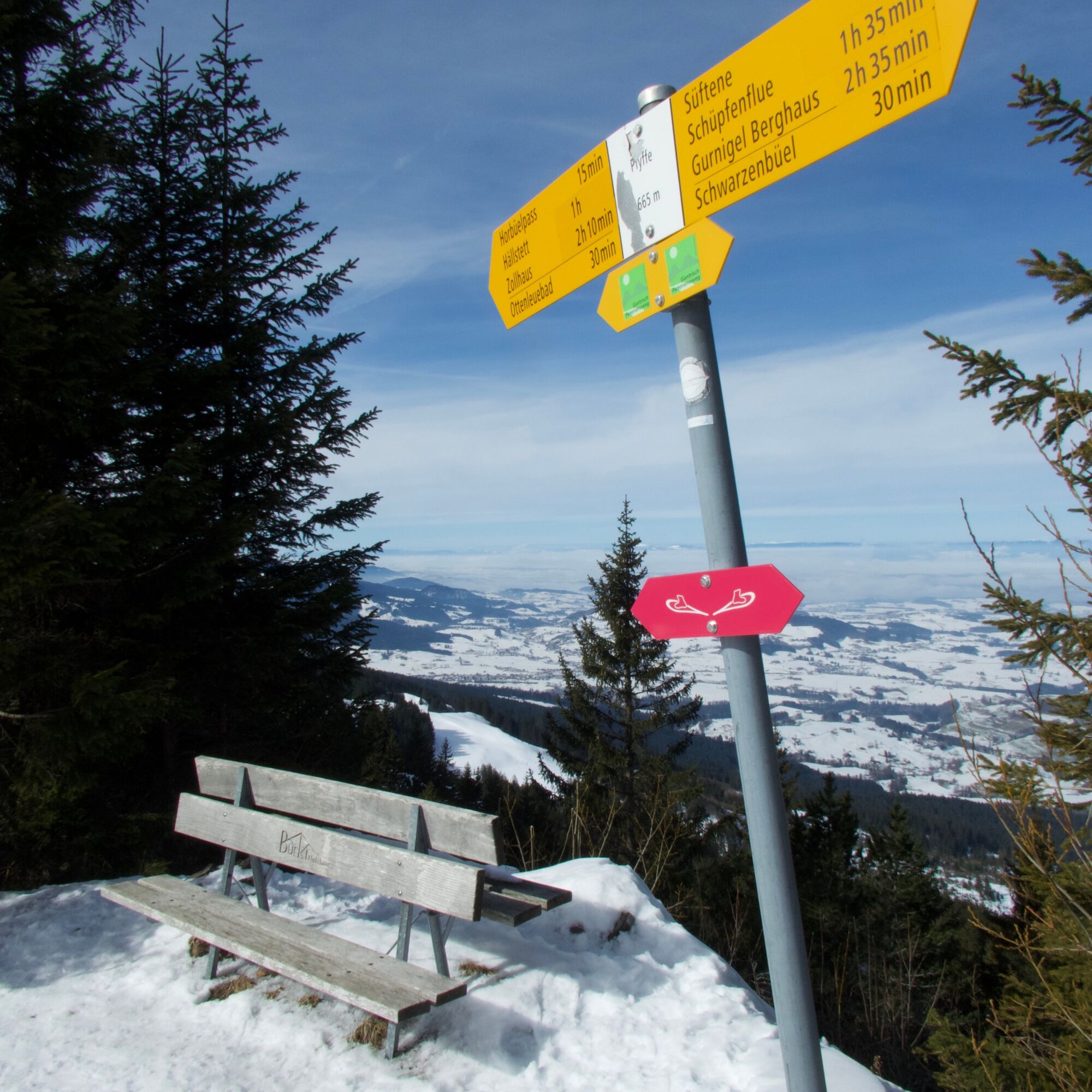
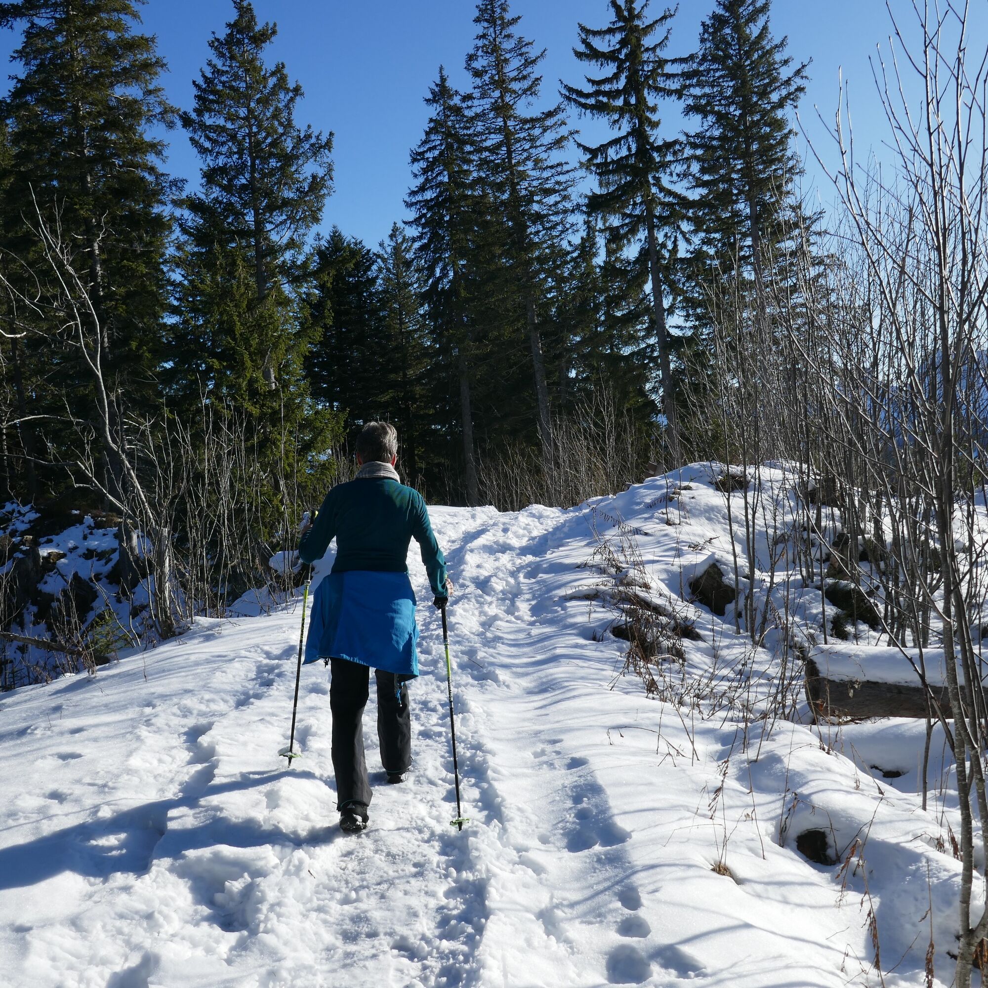
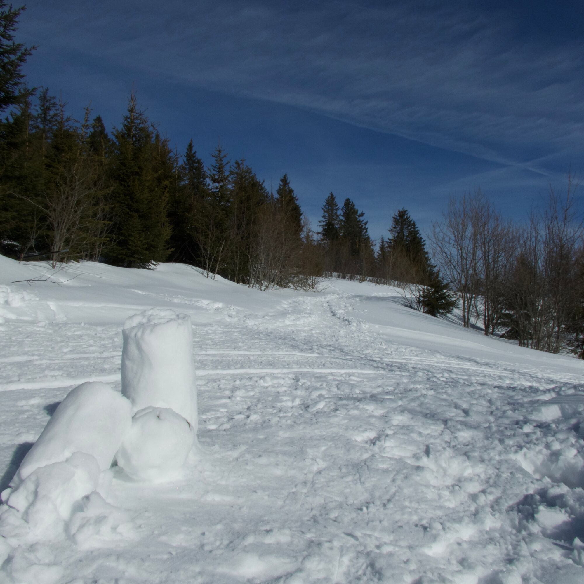
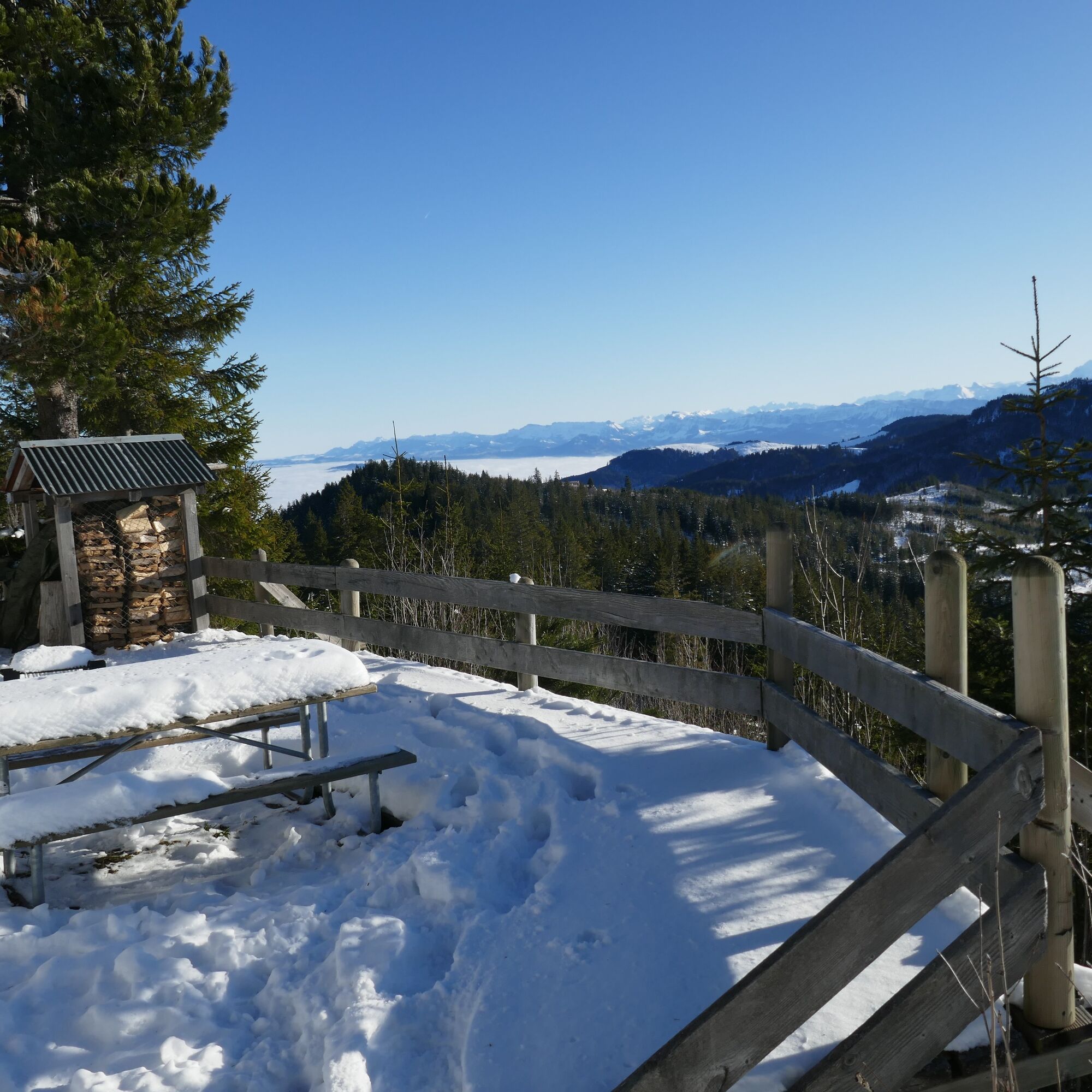
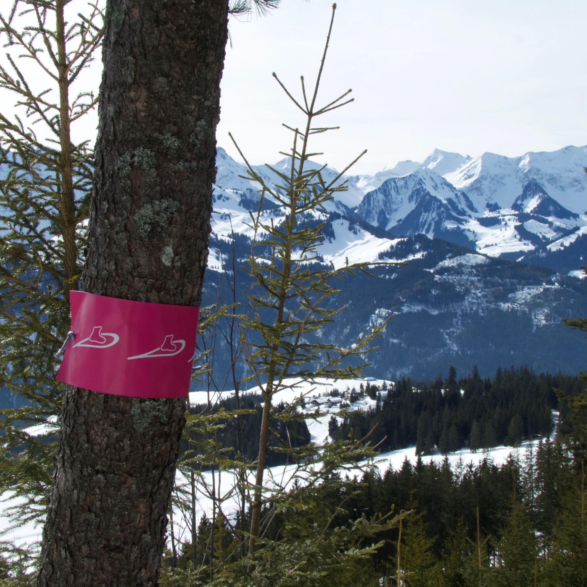
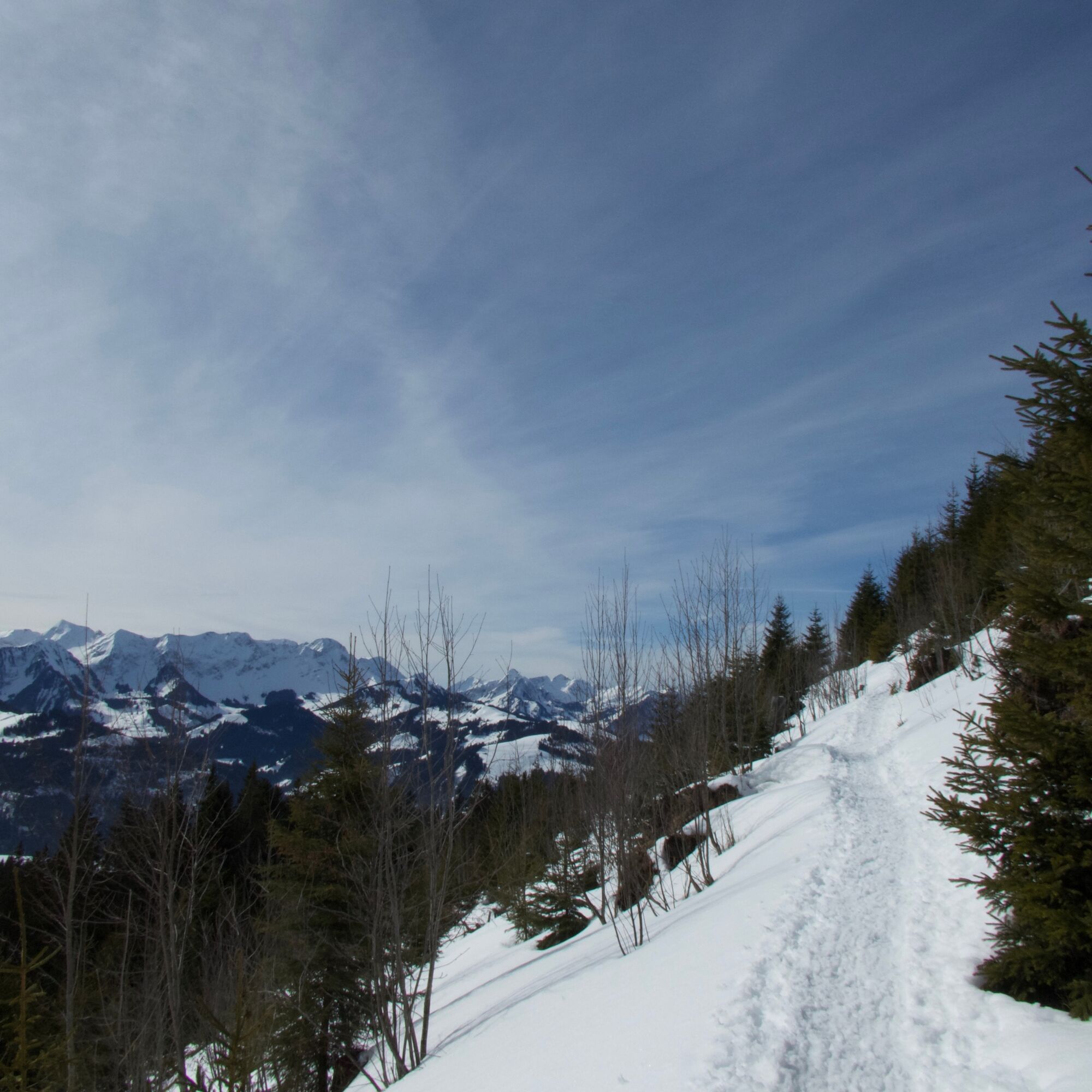
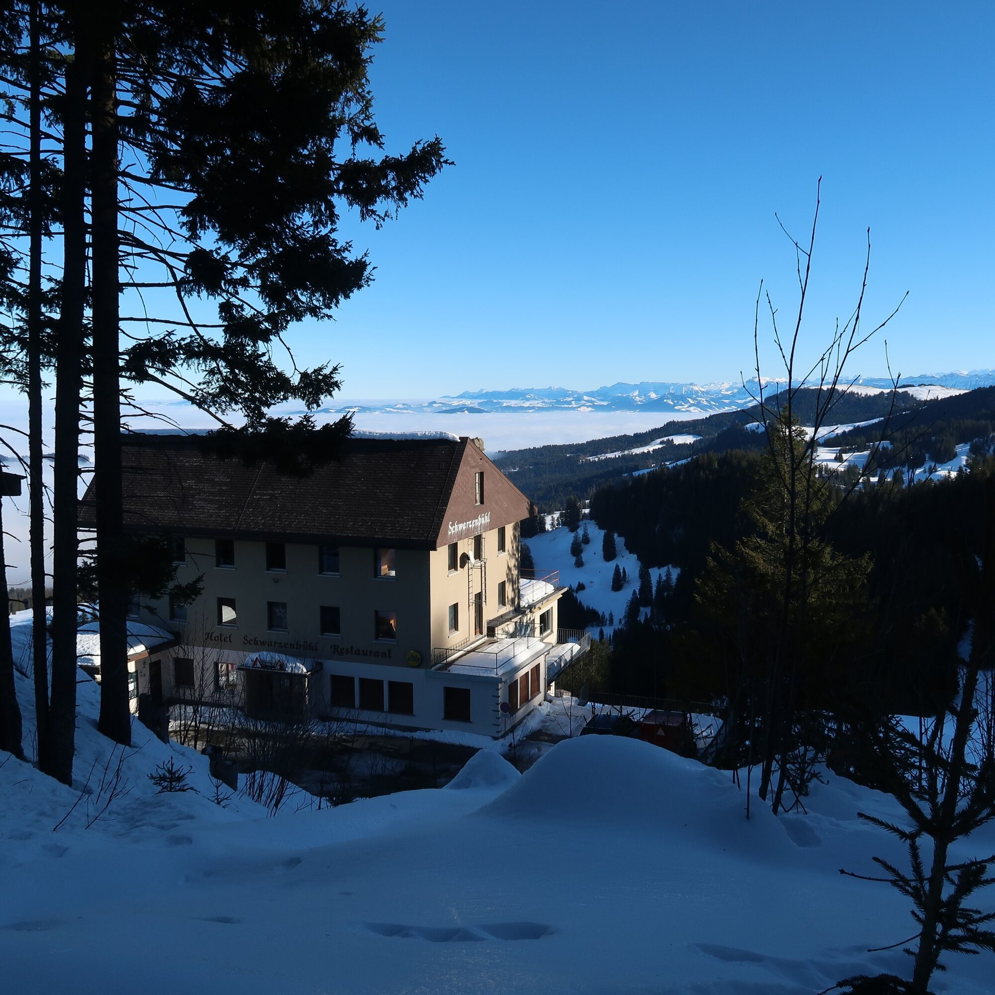
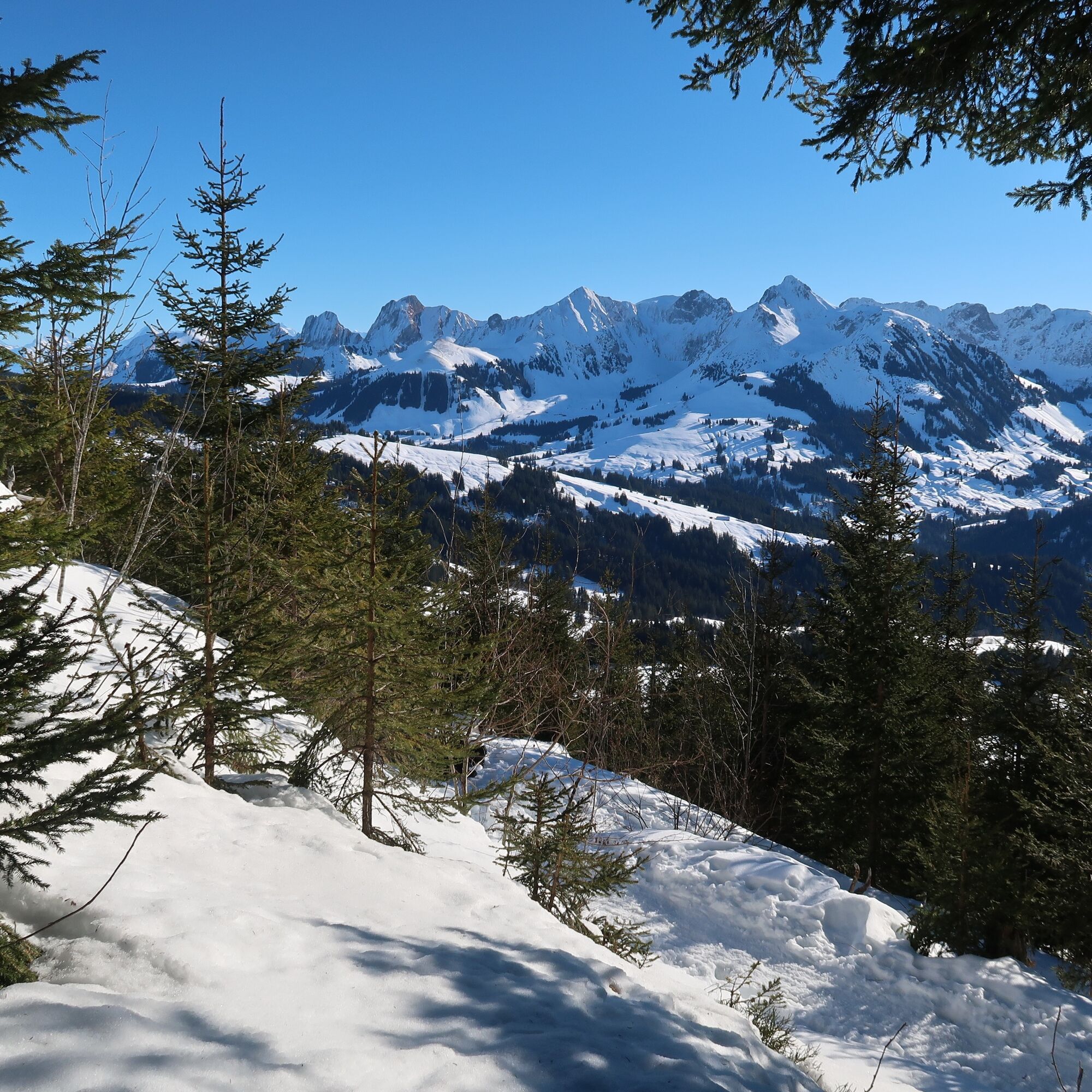
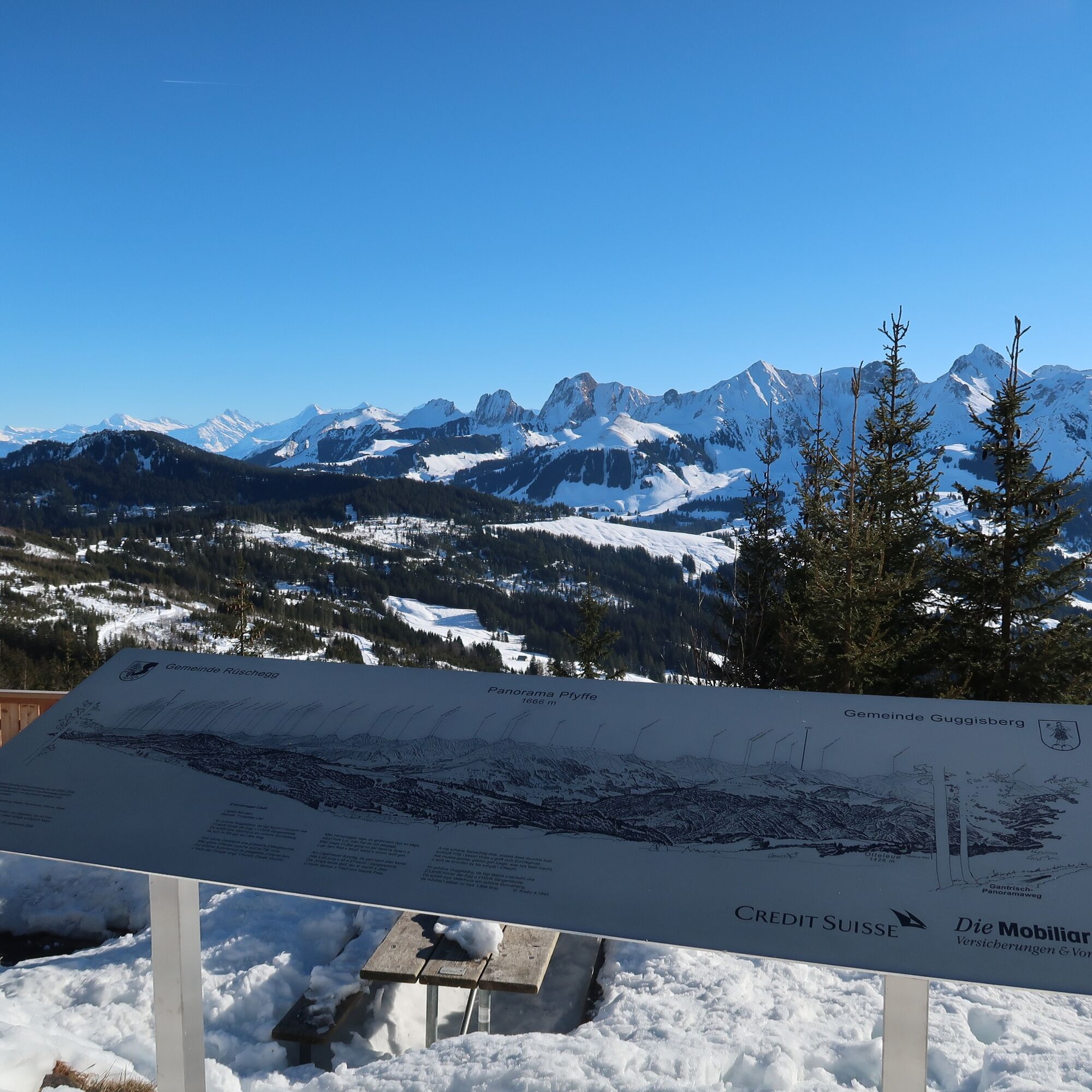
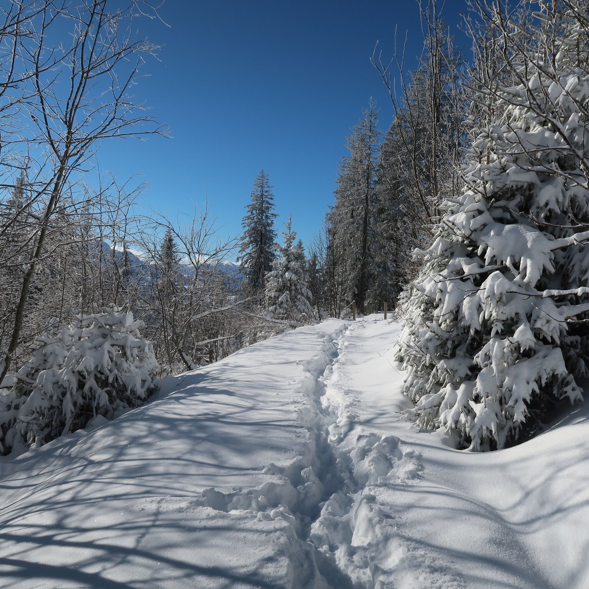
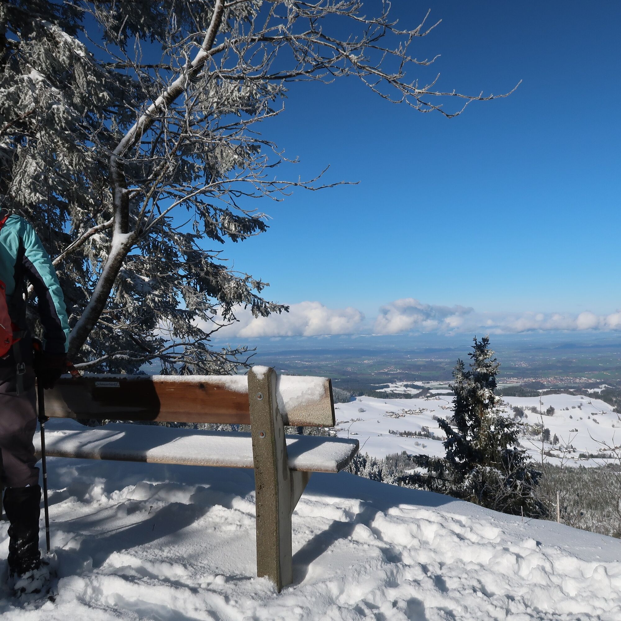
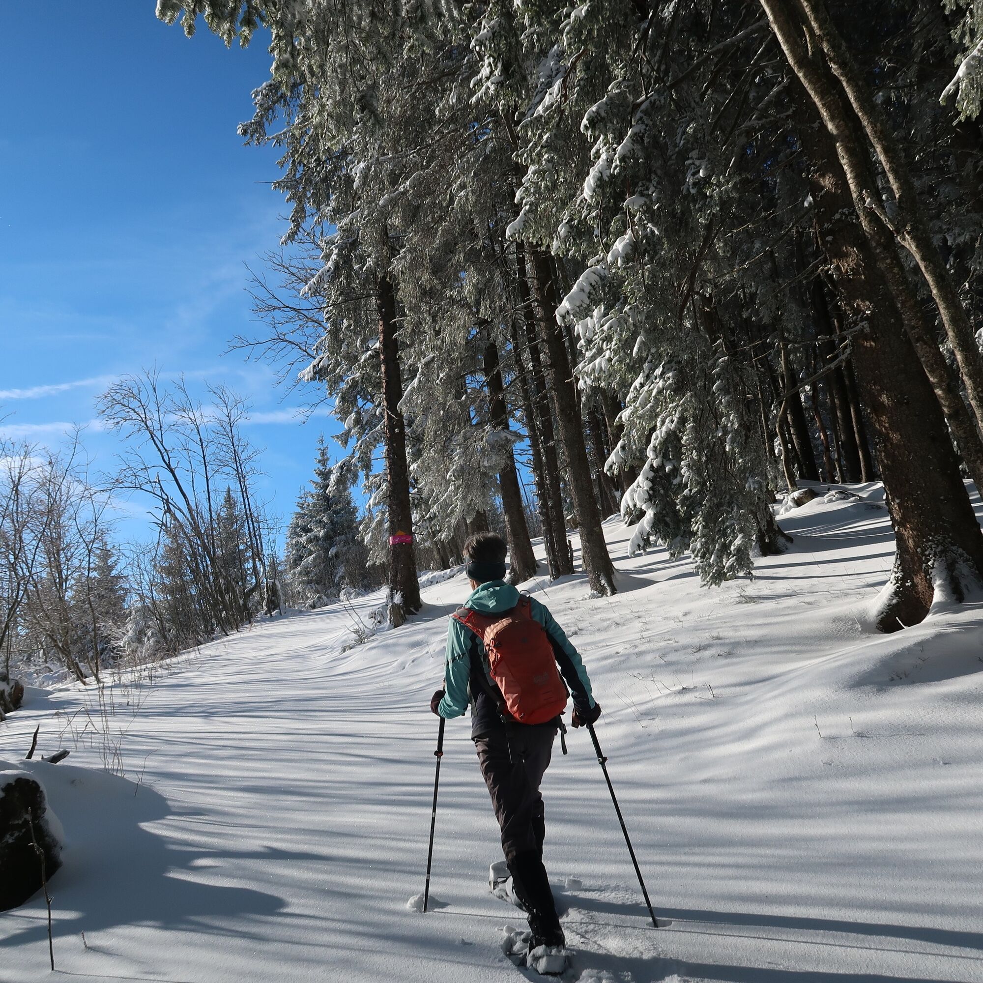
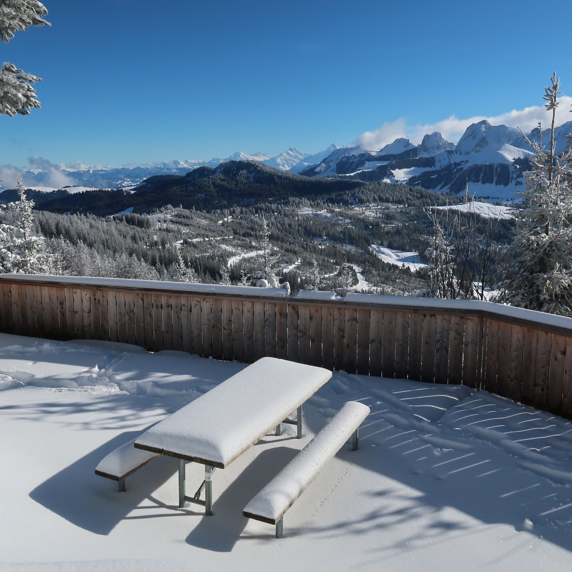
The ascent from Schwarzenbühl is the steepest but also the most direct and leads directly opposite the restaurant up to the ridge. Then the path follows the ridge a bit towards the Pfyffe. Soon a decision must be made from which side the Pfyffe should be climbed. The panorama trail on the south side of the Pfyffe leads through the open fir forest affected by the 1999 storm Lothar. The view is therefore mostly open – and unique. The highest point, the Pfyffe – and at the same time the highlight of the route – is reached from the west. The mountains of the Gantrisch range: Gantrisch, Bürglen, Ochsen seem within reach here. Further in the distance, the Stockhorn range and the snow-covered mountains of the Bernese Oberland. A panorama board informs about the heights of the surrounding peaks. Time to sit down, rest and linger. There is a table and a barbecue spot with a wood storage available. Between Pfyffe and Gägger, an allowed but unmarked snowshoe route branches off to the north flank, which, under safe conditions, leads towards Inberg and then directly to Schwarzenbühl. On the marked return path from the Pfyffe, the path once again makes a loop through the Lothar storm wood area, thanks to which the peaks of the Gantrisch range usually remain visible. The marked trail is accessible not only via the described direct ascent from Schwarzenbühl but also from the parking lot Ottenleuenbad or from Selital via the winter walking path from the shelter hut.

The trail is accessible via the following ascents:
from Schwarzenbühl, 400 m and 110 meters elevation gain from Ottenleuenbad, 1.5 km and 190 meters elevation gain from the shelter hut, 700 m and 50 meters elevation gainDa
Equipment Rental
Gurnigel Berghaus, Gurnigel (self-service at the cross-country ski rental) Schwarzenbühl Kurhaus (self-service at the cross-country ski rental) Gantrisch Bike & Sport, RiggisbergRüschegg Schwarzenbühl, Kurhaus SBB timetable
Parking lot Schwarzenbühl
Alternative: Parking lot Ottenleuenbad and Selital
Arrival
Spletne kamere s turneje

Priljubljeni izleti v okolici
-
4.6
Gantrisch Summit Hike, 2176 m elevation
srednjaPohodništvo 9.13 km -
4.5
High-altitude hike Gurnigel - Stockhorn
srednjaPohodništvo 11.2 km -
4.5
Wasserscheide - Gantrisch Seeli
svetlobaPohodništvo 9.33 km -
3.7
Breccaschlund Panorama Trail (Switzerland Mobility 267)
srednjaPohodništvo 12.9 km -
4.8
Summit hike Ochsen, 2188 m above sea level
srednjaPohodništvo 7.94 km -
5.0
Schwarzsee Circular Route (SchweizMobil 787)
svetlobaZimsko pohodništvo 4.10 km -
5.0
Riggisalp-Brecca-Schwarzsee Gypsera
srednjaPohodništvo 10.1 km -
4.7
Schwarzsee circular route Häxewääg
svetlobaTematska pot 4.10 km -
4.8
Alpine Panorama Route Stage 20 (SchweizMobil 3)
srednjaPohodništvo 12.2 km -
4.8
Dreiangel - Thoracker - Stockhorn - Chrindi
težkoPohodništvo 11.4 km
Pohodništvo in sledenje


Ne zamudite ponudb in navdiha za naslednje počitnice
Vaš e-poštni naslov je bil dodan na poštni seznam.





