Navigacija po spletni strani
Pridobite to turo v svoj mobilni telefon
Zemljevid
Belpberg route (SchweizMobil 361)

težko
Kolesarjenje
40.90 km
Skenirajte kodo QR in začnite navigacijo v aplikaciji bergfex.
QR Code
Pohodništvo in sledenje

Belpberg route (SchweizMobil 361)

Razdalja
40.9 km
Trajanje
03:15 h
Ascent
704 hm
Morska gladina
520 - 885 m

Stopnja težavnosti: 2

Prenos skladbe
Zemljevid
Belpberg route (SchweizMobil 361)
težko
Kolesarjenje
40.90 km

Along the renatured Limpach with the farm settlements Stoffelsrüti and Kienersrüti on the flanks of the wide valley, you reach Kirchdorf. Along the Gerzensee, the route leads to the village of the same...

Opis

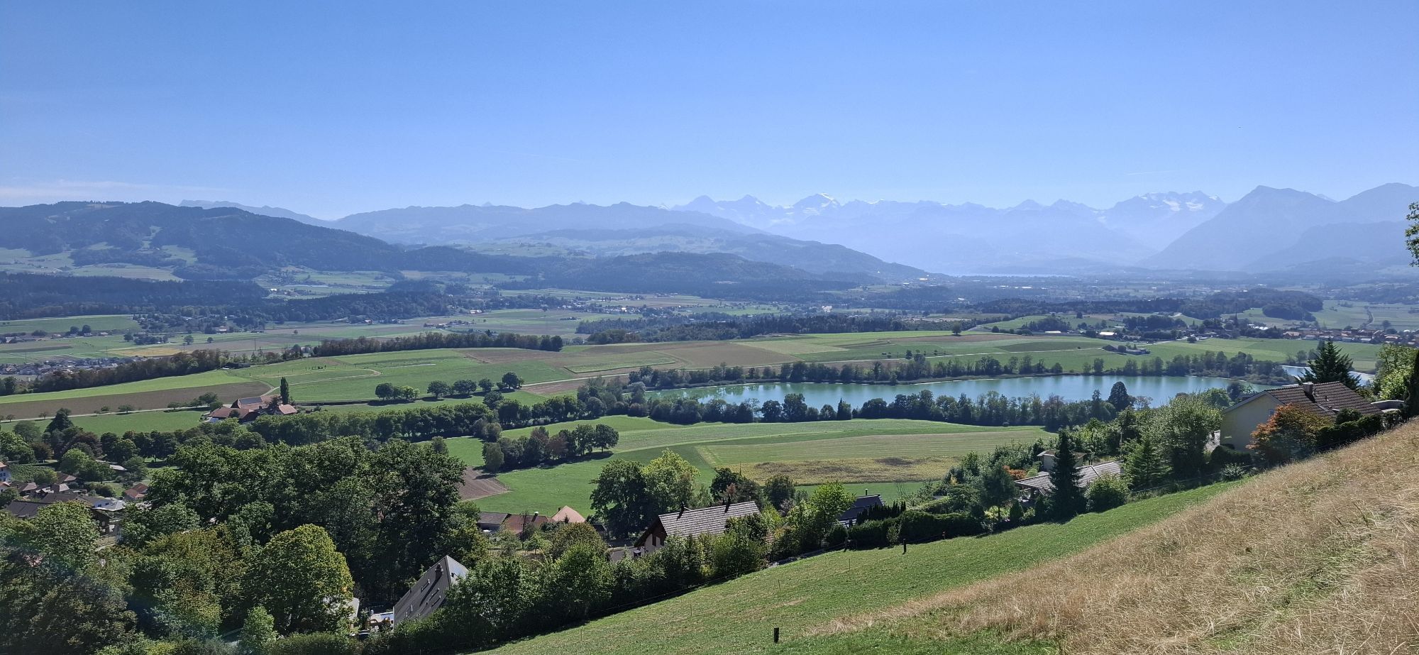
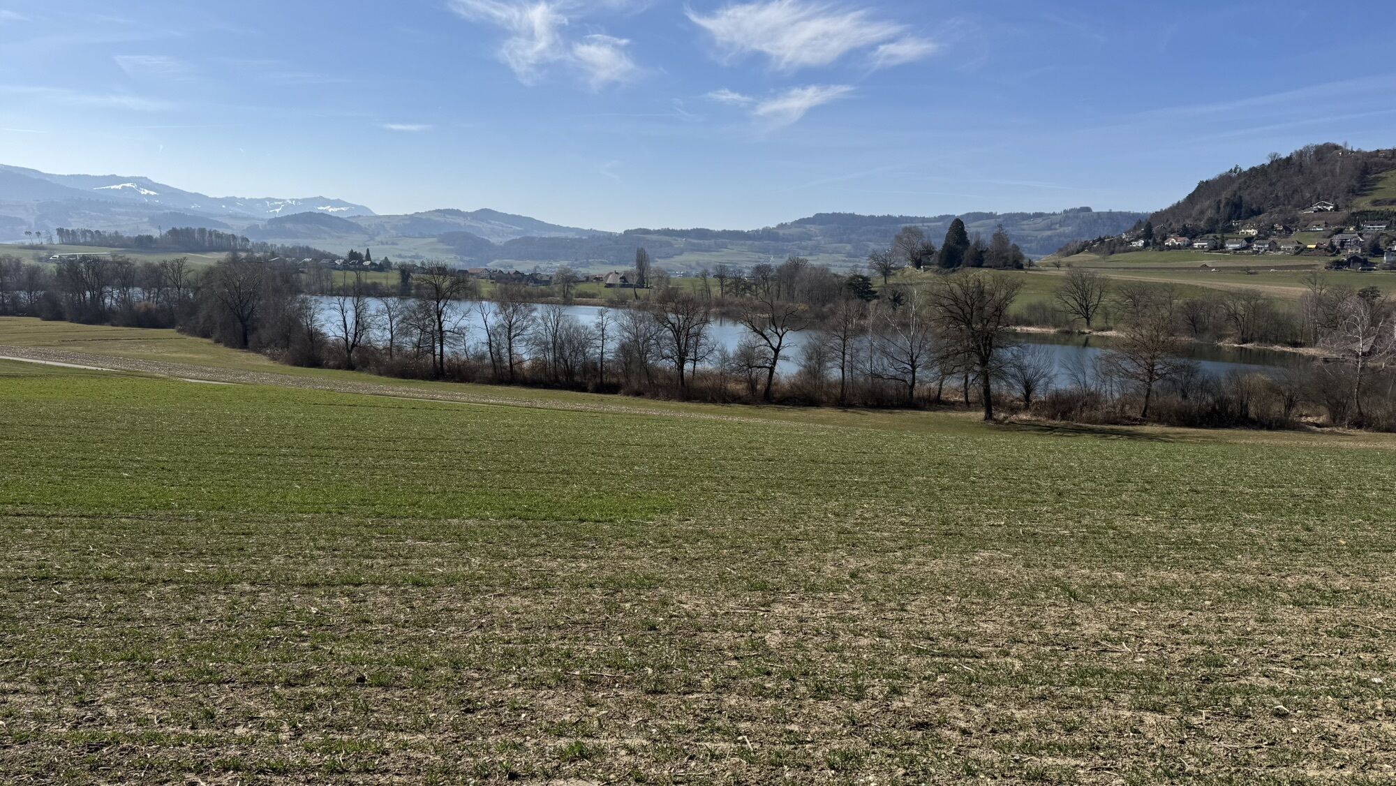
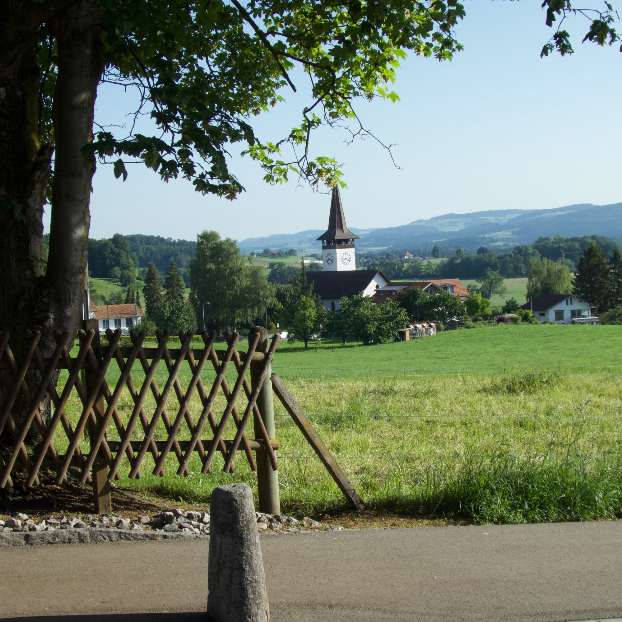
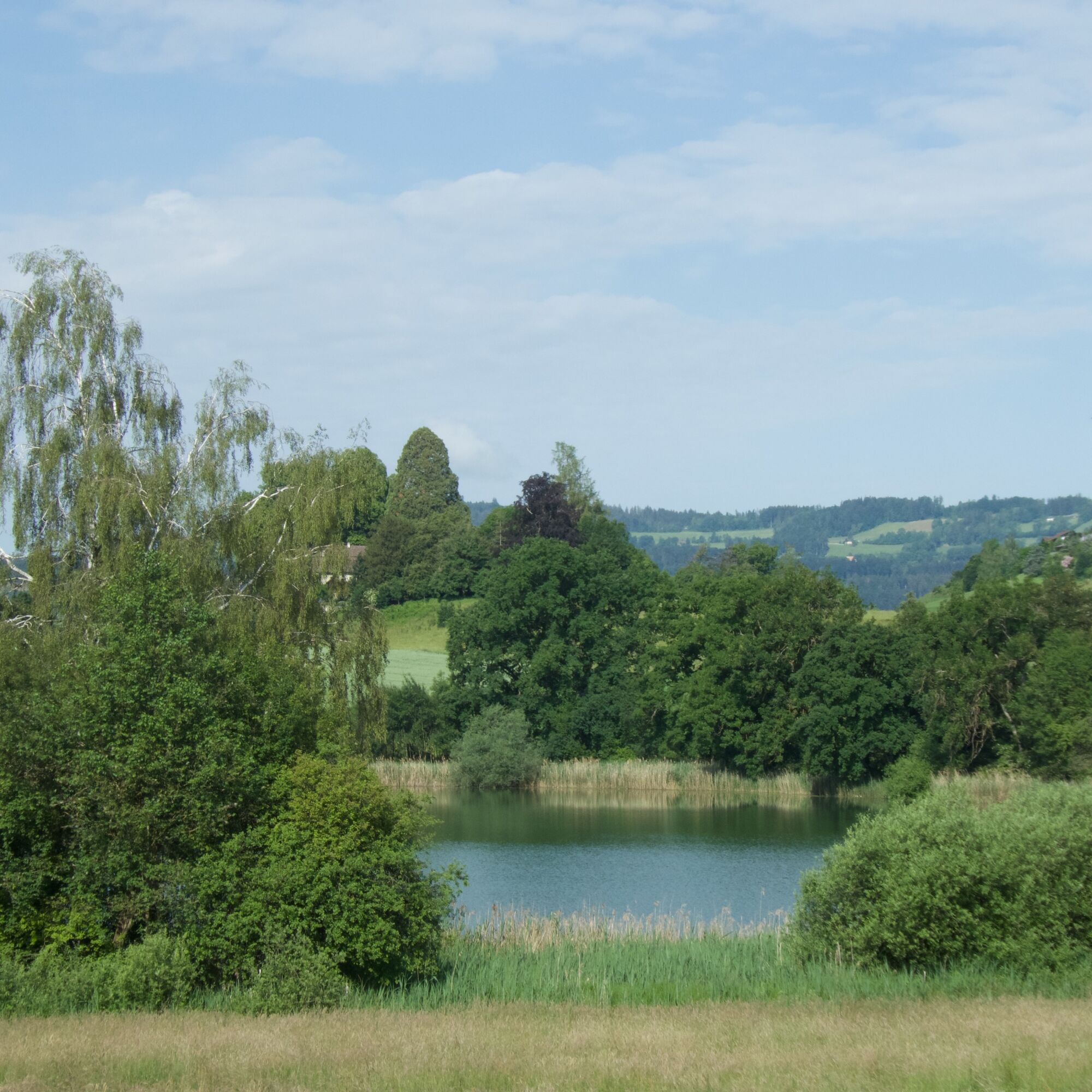
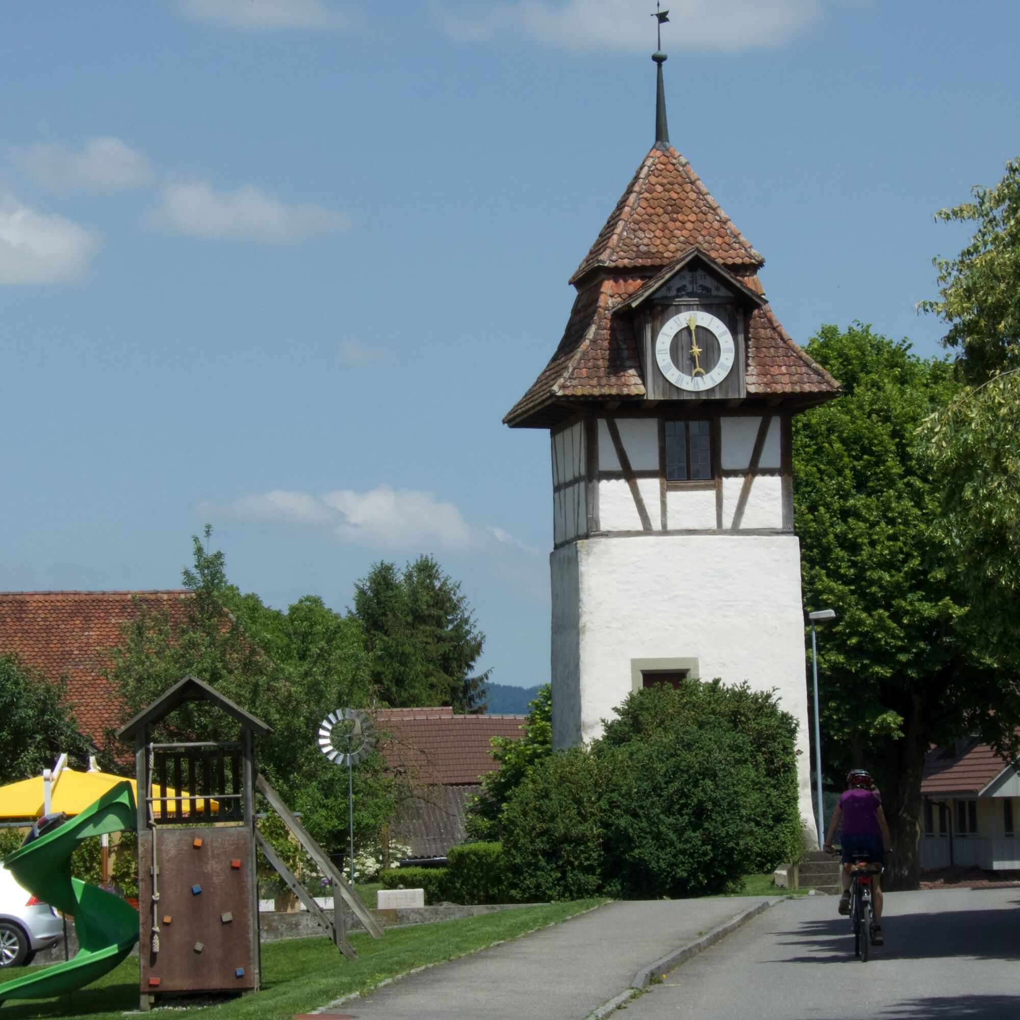
Along the renatured Limpach with the farm settlements Stoffelsrüti and Kienersrüti on the flanks of the wide valley, you reach Kirchdorf. Along the Gerzensee, the route leads to the village of the same name. A look into the courtyard of the new castle is definitely worthwhile. The castle, built in 1690, was developed into a beautiful complex by various owners and today belongs to the Swiss National Bank foundation and is used as a study and meeting center.

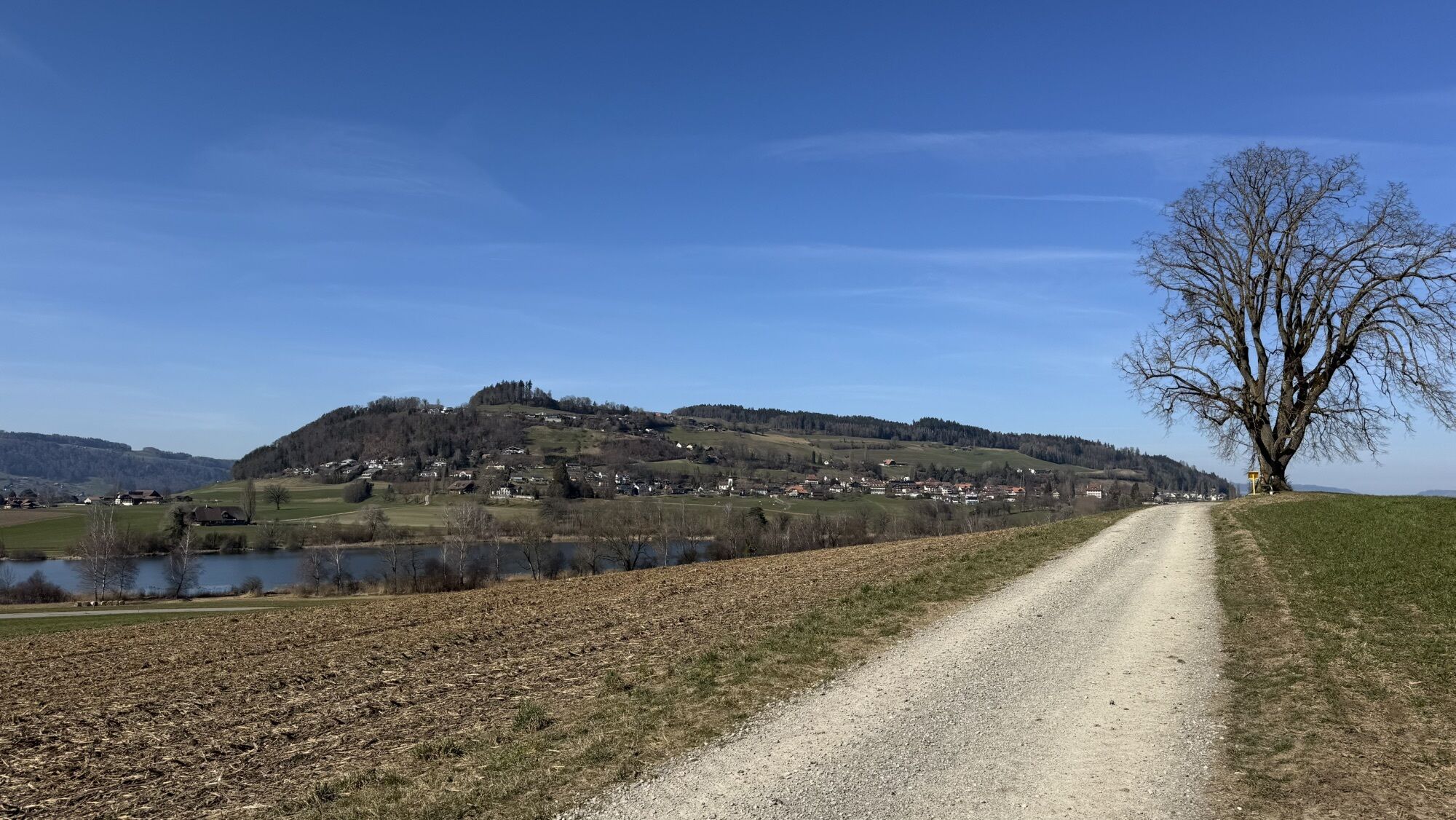
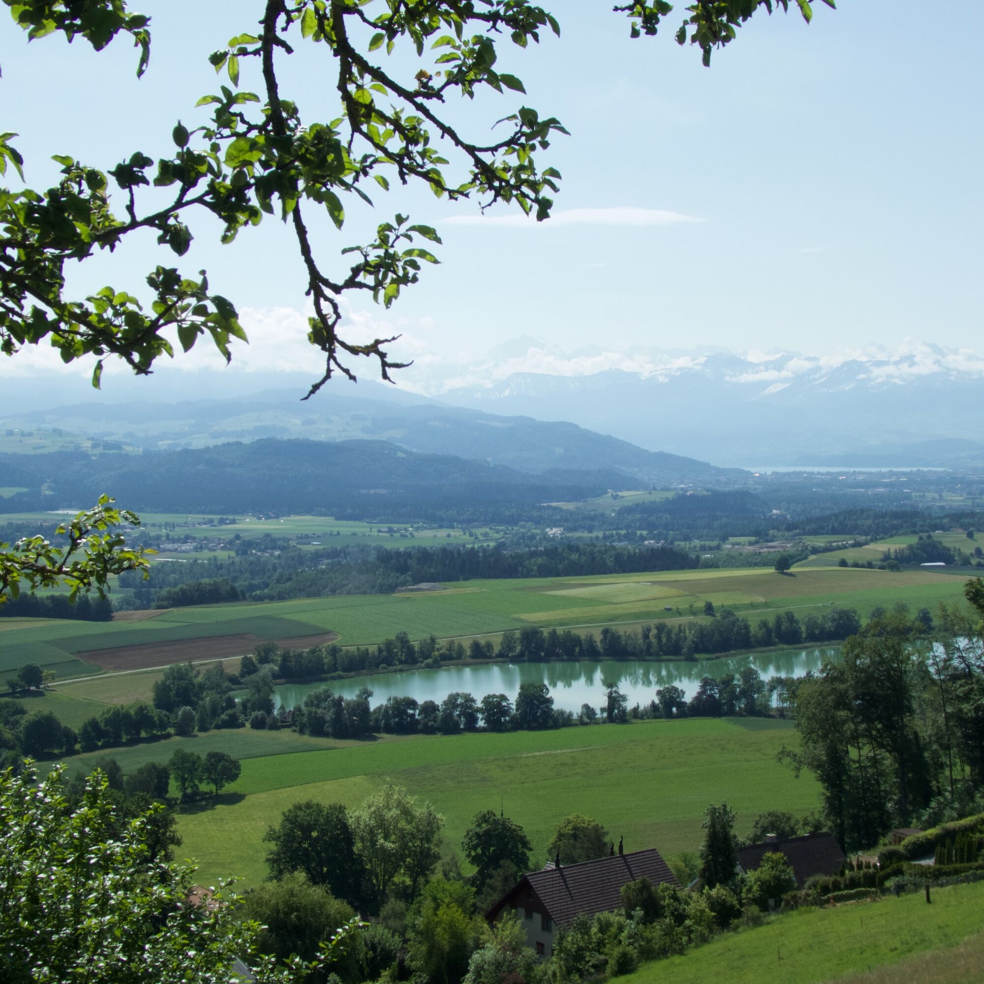
Upon arriving at Belpberg, a short detour to the Chutzen viewpoint with views into the Aare valley is worthwhile. You can relax at the restaurant of the same name.

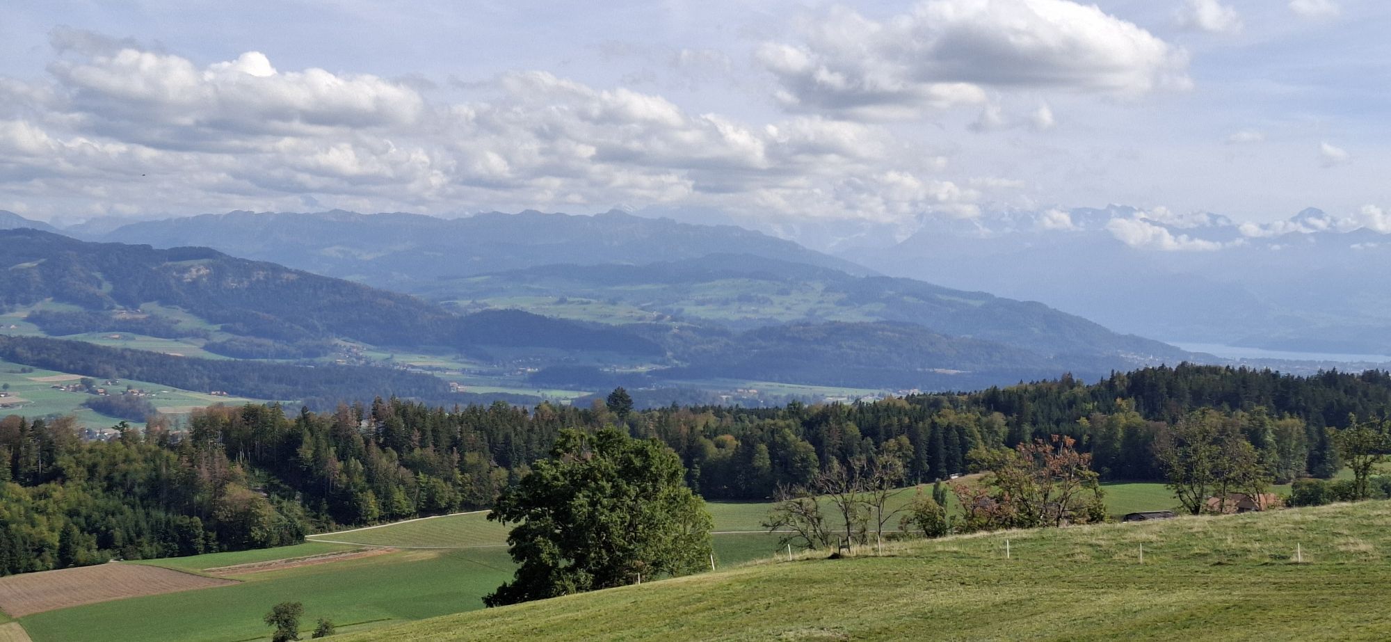
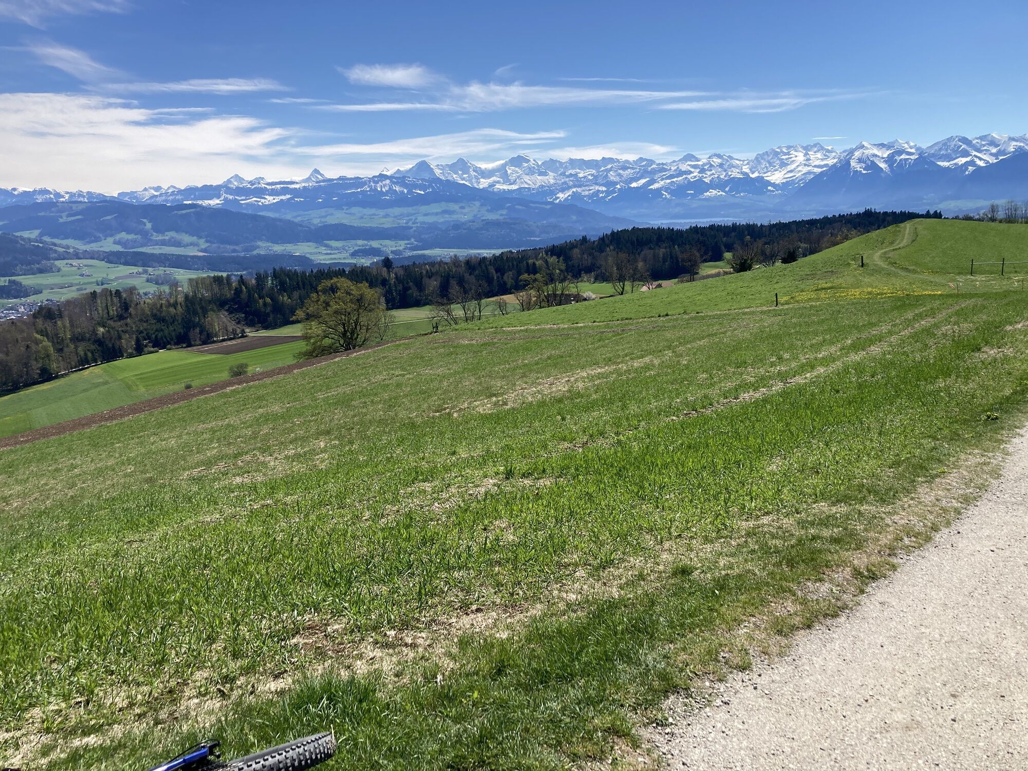
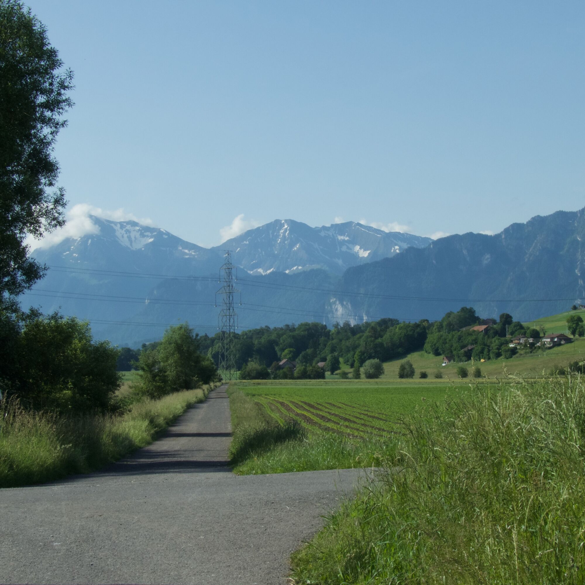
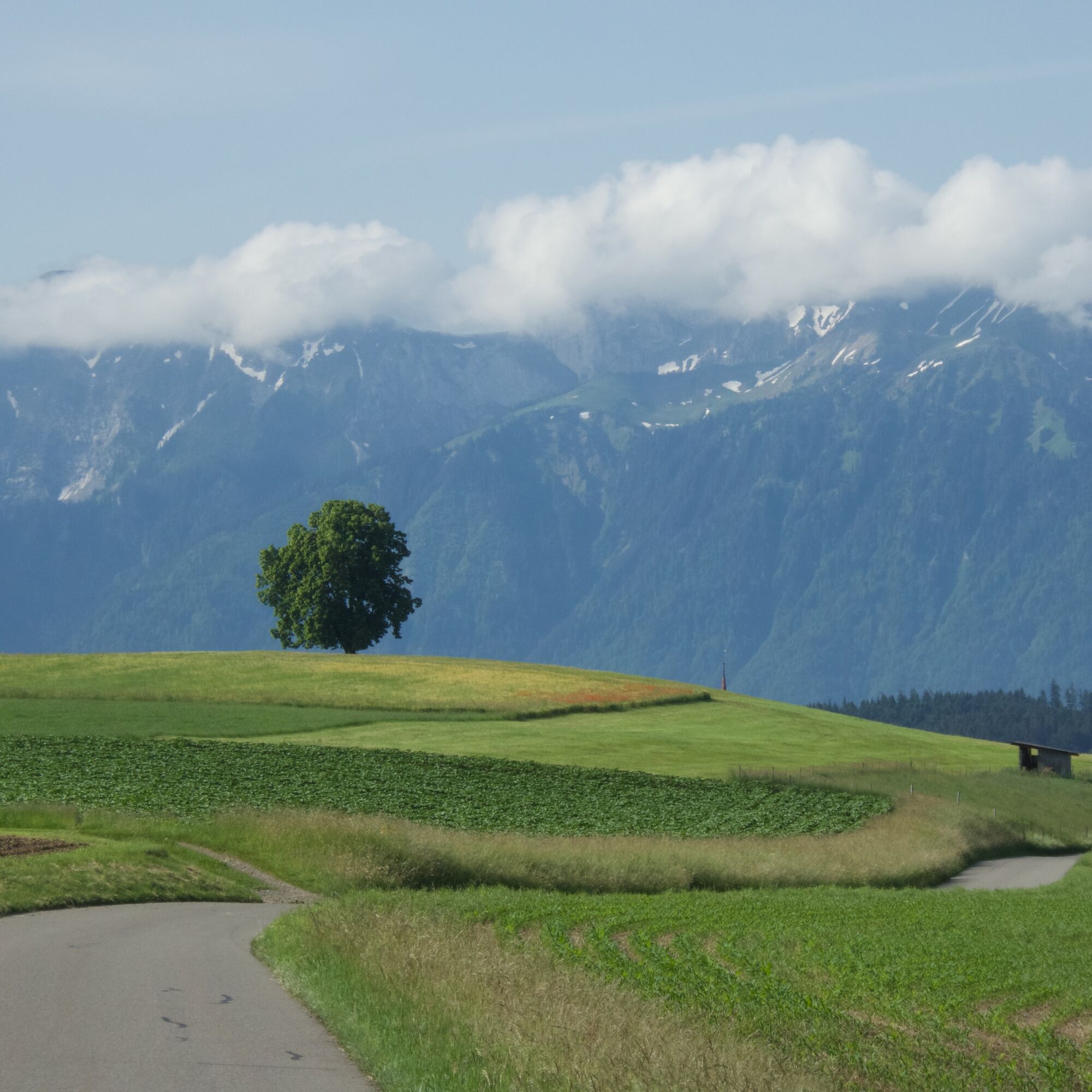
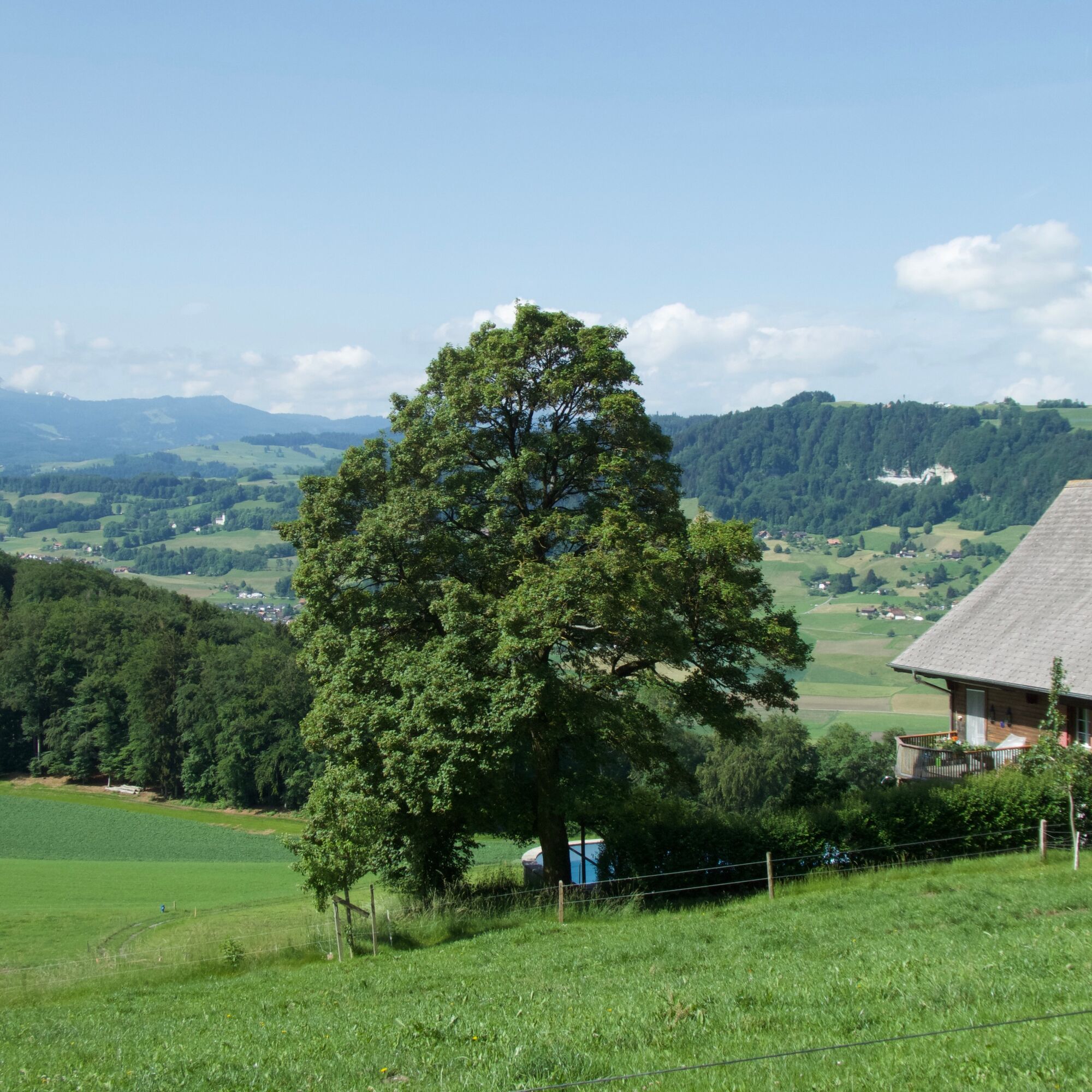
The descent on the west side of Belpberg can be taken leisurely. The road passes through well-maintained farm groups near Hofstetten and Sädel and opens the view into the perfectly flat agricultural area of the Gürbe valley. Among other sights, from here, you can beautifully see the Bernese Alps on the horizon. Eiger, Mönch, and Jungfrau present themselves like on postcards in good weather.

Pot
Pot
Zemljevid
Belpberg route (SchweizMobil 361)
težko
Kolesarjenje
40.90 km
Belp
(521 m)
Mesto
0.0 km
Riedli
(550 m)
Soseska
1.8 km
Schönenbrunnen
(769 m)
Koridor/teren
4.2 km
Hofstetten
(800 m)
Poravnava
5.0 km
Sädel
(788 m)
Poravnava
7.2 km
Gerzensee
(646 m)
Vas
8.6 km
Wegacher
(614 m)
Koridor/teren
9.8 km
Müliacher
(613 m)
Koridor/teren
9.9 km
Dorf
(606 m)
Soseska
10.1 km
Gasthof Dörfli
(603 m)
Restavracija
10.2 km
Mühledorf BE
(605 m)
Vas
10.3 km
Breite
(611 m)
Koridor/teren
10.3 km
Vordere Breite
(612 m)
Koridor/teren
10.4 km
Kirchdorf BE
(611 m)
Vas
11.4 km
Häsenen
(632 m)
Koridor/teren
12.7 km
Daheim
(630 m)
Koridor/teren
13.0 km
Oberdorf
(630 m)
Koridor/teren
13.0 km
Hubmatt
(630 m)
Koridor/teren
13.1 km
Noflen BE
(630 m)
Vas
13.5 km
Seftigen
(578 m)
Vas
15.2 km
Pizzaiolo Seftigen
(583 m)
Restavracija
15.5 km
Bahnhof
(578 m)
Koridor/teren
15.5 km
Höfli
(579 m)
Restavracija
15.5 km
Rütti
(601 m)
Koridor/teren
16.1 km
Mühle
(605 m)
Koridor/teren
17.6 km
Buchshalde
(599 m)
Koridor/teren
18.0 km
Uetendorf
(554 m)
Vas
19.1 km
Huttenrain
(604 m)
Koridor/teren
20.8 km
Lehn
(602 m)
Koridor/teren
20.9 km
Mühleholz
(575 m)
Koridor/teren
21.8 km
Limpach
(559 m)
Koridor/teren
22.0 km
Stoffelsrüti
(574 m)
Poravnava
23.7 km
Kirchdorf BE
(611 m)
Vas
26.0 km
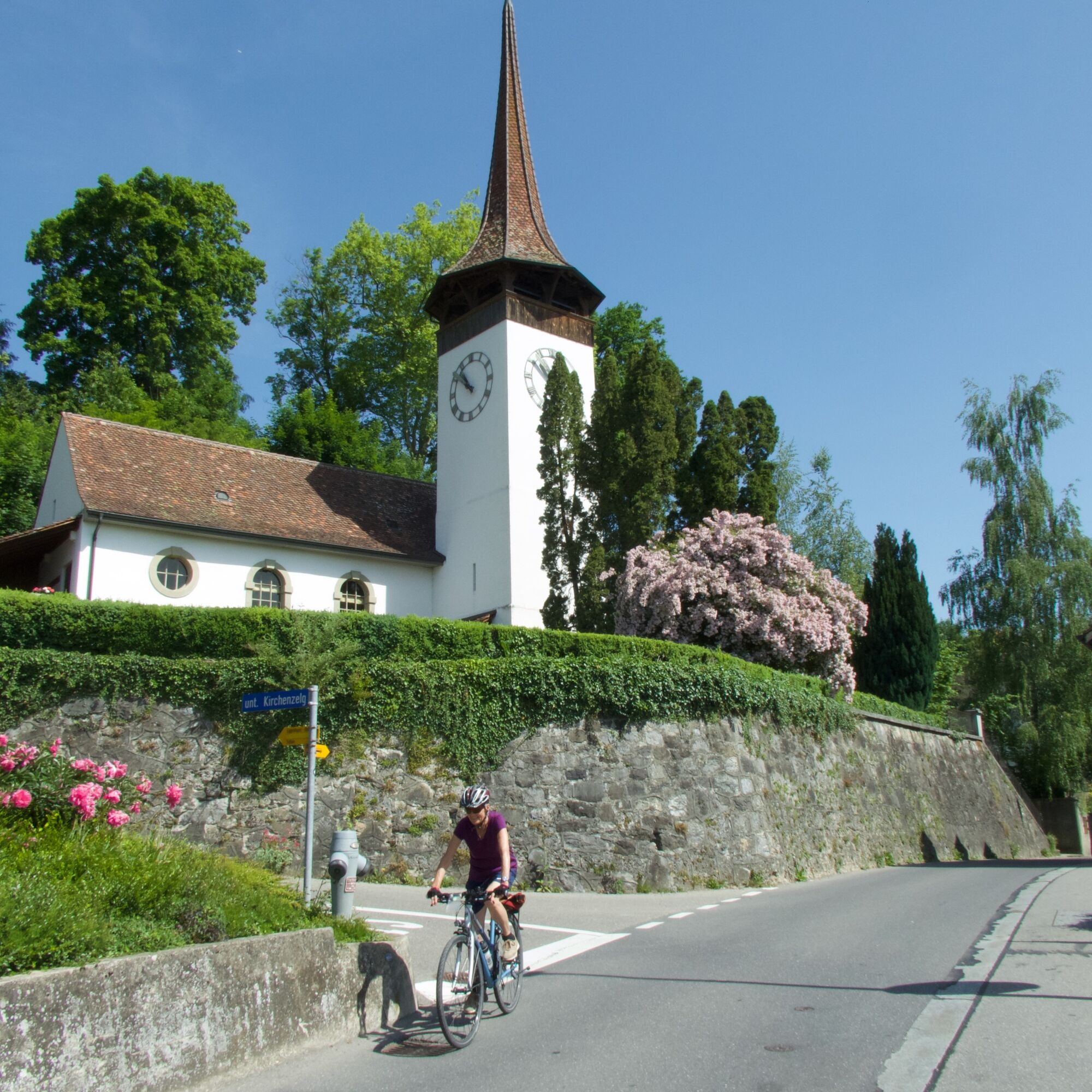
Kirche Kirchdorf
(614 m)
Kraj čaščenja
26.6 km
Gerzensee
(646 m)
Vas
29.0 km
Bären
(639 m)
Restavracija
29.1 km
Hinter Chlapf
(764 m)
Poravnava
31.8 km
Bärenmoos
(759 m)
Koridor/teren
31.9 km
Grossmatt
(763 m)
Koridor/teren
32.2 km
Schmittenbach
(783 m)
Koridor/teren
32.9 km
Neuhaus
(791 m)
Poravnava
33.1 km
Belpberg
(799 m)
Vas
33.7 km
Belpberg
(892 m)
Vrh
34.8 km
Restaurant Chutzen
(887 m)
Restavracija
35.0 km
Weidli
(804 m)
Koridor/teren
35.9 km
Riedli
(550 m)
Soseska
39.0 km
Belp
(521 m)
Mesto
40.9 km
Informacije o turneji

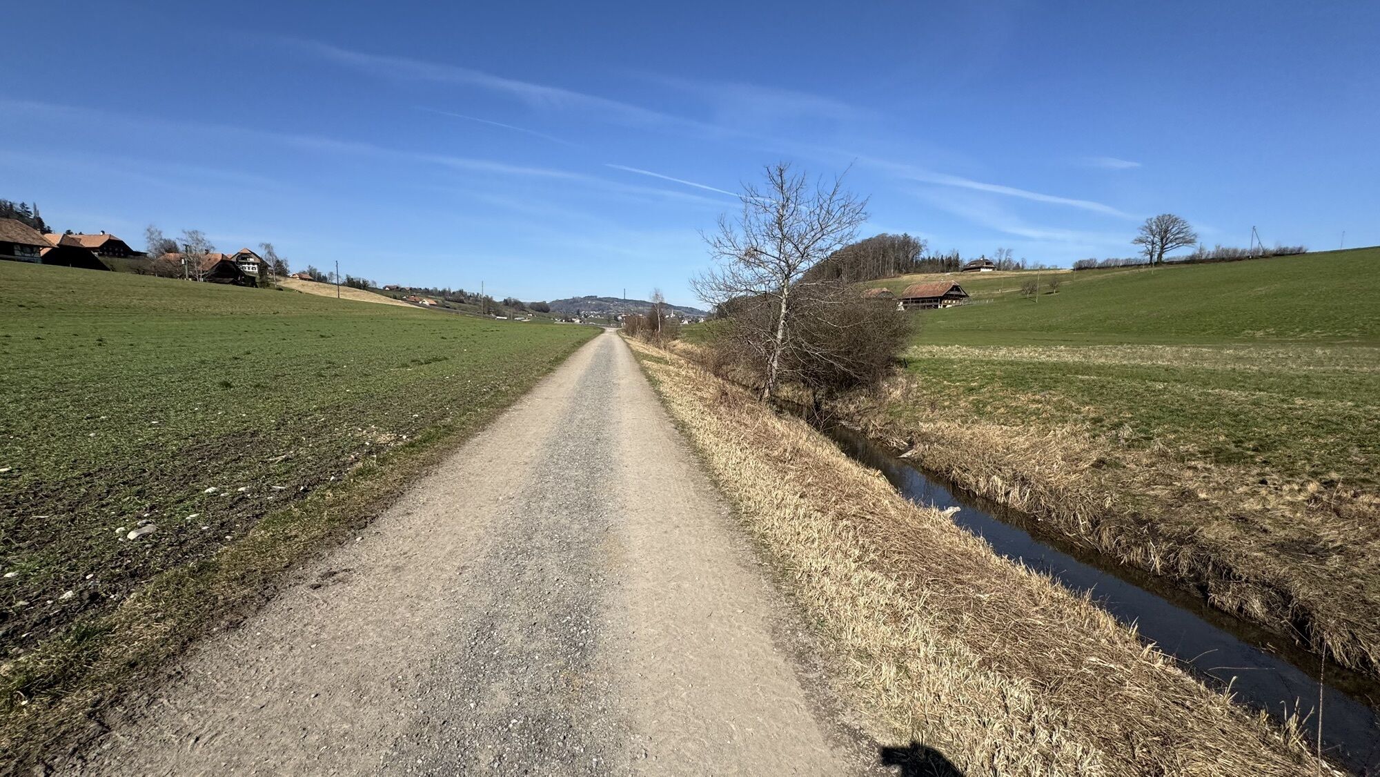
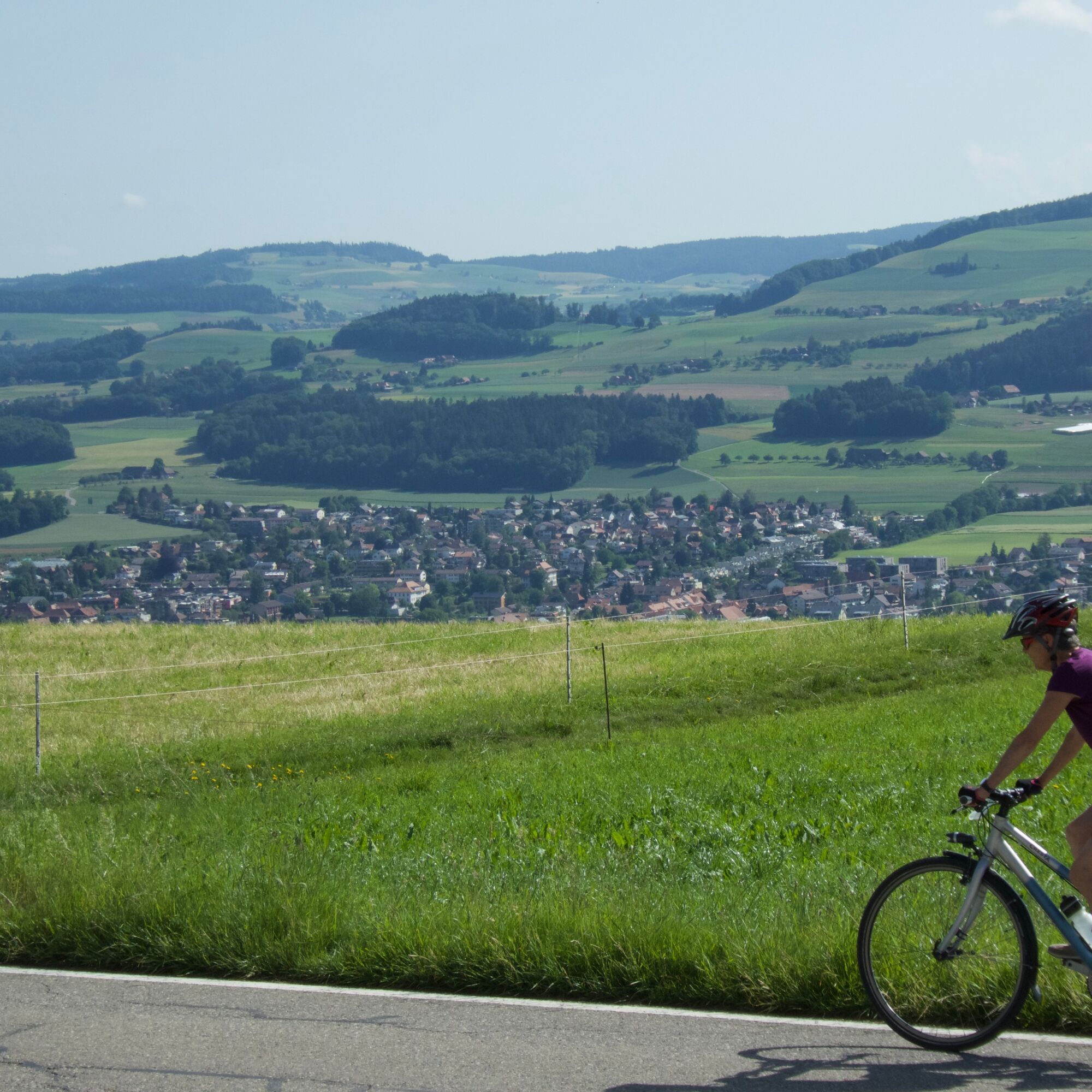
From Uetendorf train station, the route first follows the renatured Limpach through fertile agricultural land, before sharply climbing up to Belpberg at Gerzensee. The route delights with its views into the Aare, Gürbe, and Stocken valleys.

Tehnologija
2 / 6
Stanje
6 / 6
Pokrajina
n.a.
Izkušnje
n.a.
Najboljši letni čas
Jan
Feb
Mar
Apr
Maj
Jun
Jul
Avg
Sep
Okt
Nov
Dec
Skupna turneja
Zemljevid
Belpberg route (SchweizMobil 361)
težko
Kolesarjenje
40.90 km
Napaka
Zgodila se je napaka. Prosimo, poskusite znova.
Zadnji spremljani 6 dni nazaj
Oprema

Normal bicycle equipment

Weather-appropriate clothing

Bicycle rental

Informacije o prihodu
Prihod

Getting there

Javni prevoz

Getting there

Uetendorf train station SBB timetable

Parkirišče

Getting there

Dodatne informacije in nasveti
Stopnja težavnosti

2

Dodatne informacije
Nasveti

Die 5-minütige Fahrt auf den Chutzen mit seiner wunderbaren Aussicht ist auf dieser Tour ein Muss. Deshalb haben wir diesen Abstecher in die GPS-Route integriert. Wer keine schönen Aussichten mag, der kann diese Zusatzschlaufe weglassen.

Vrednotenja
5.0
5
(2)
4
(0)
3
(0)
2
(0)
1
(0)
1 Komentar:
Avatar iz Chrige A
Chrige A
25. සැප්. 2026
Phasenweise steil, mit wahnsinns Aussicht!!
Koristno (0) |
Poročilo
Napaka
Zgodila se je napaka. Prosimo, poskusite znova.
Napišite pregled

Mnenja pomagajo drugim uporabnikom pri izbiri naslednje pustolovščine. Ocenite samo izlet, ne pa tudi vremena ali prigrizka.

Izberite eno od zvezdic, da ocenite ogled
Slaba turneja
Šibka turneja
Povprečna turneja
Dobra tura
Odlična tura
Pohodništvo in sledenje

Pohodništvo in sledenje

Pohodništvo in sledenje
Zaradi več kot 550.000 predlogov izletov, podrobnih zemljevidov in intuitivnega načrtovanja poti je aplikacija obvezna oprema za vse ljubitelje narave.
bergfex