


Motorbike Tip: Gantrisch Tour
Fotografije naših uporabnikov
-
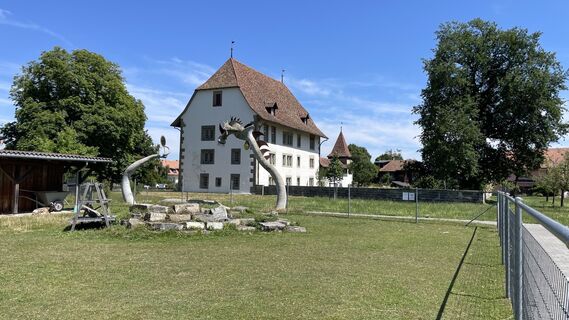
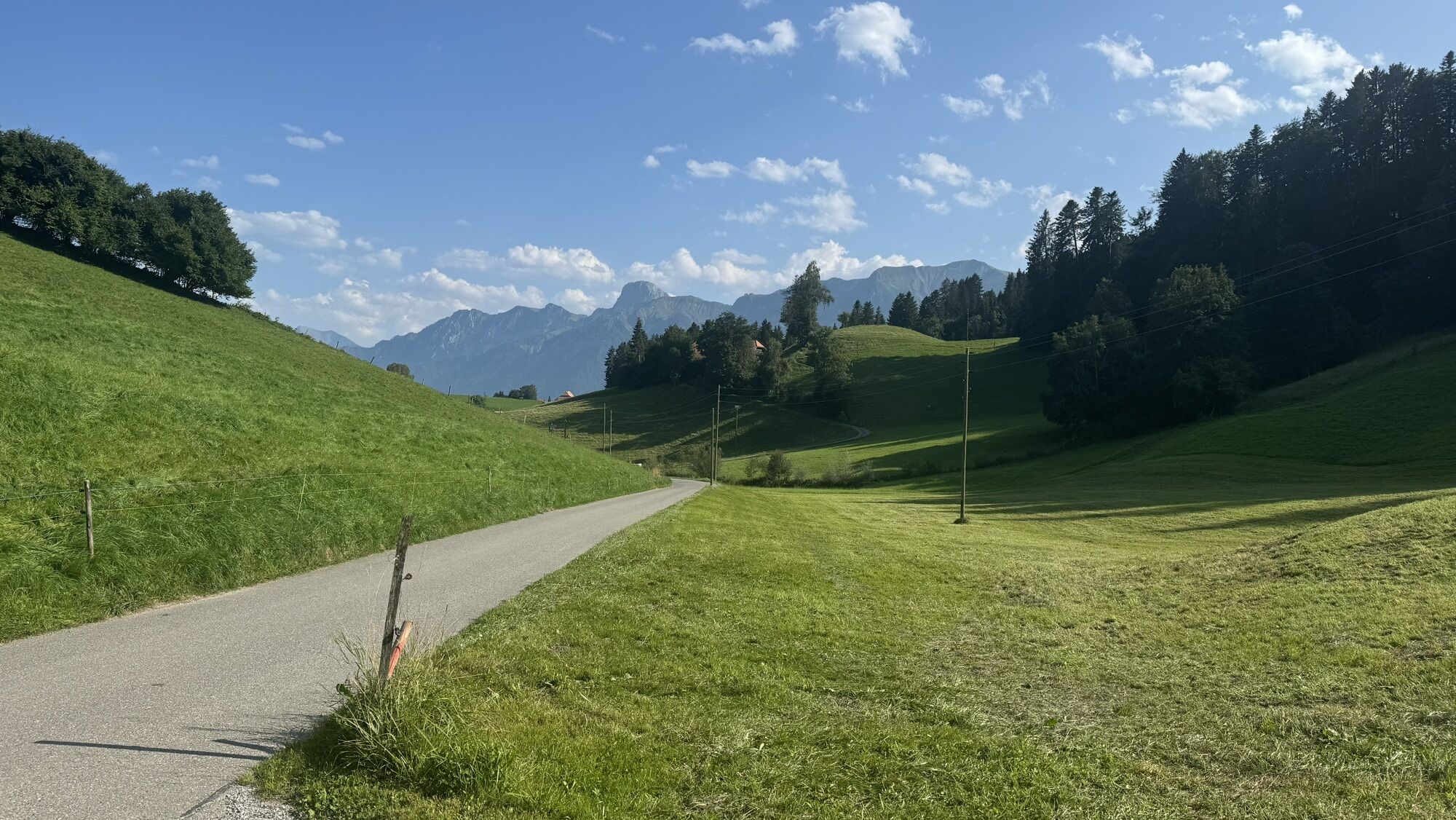
 © Rainer JellinekUstvarjeno na 17.09.2025
 -
 © Rainer JellinekUstvarjeno na 17.09.2025
 -

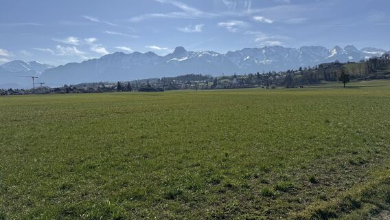
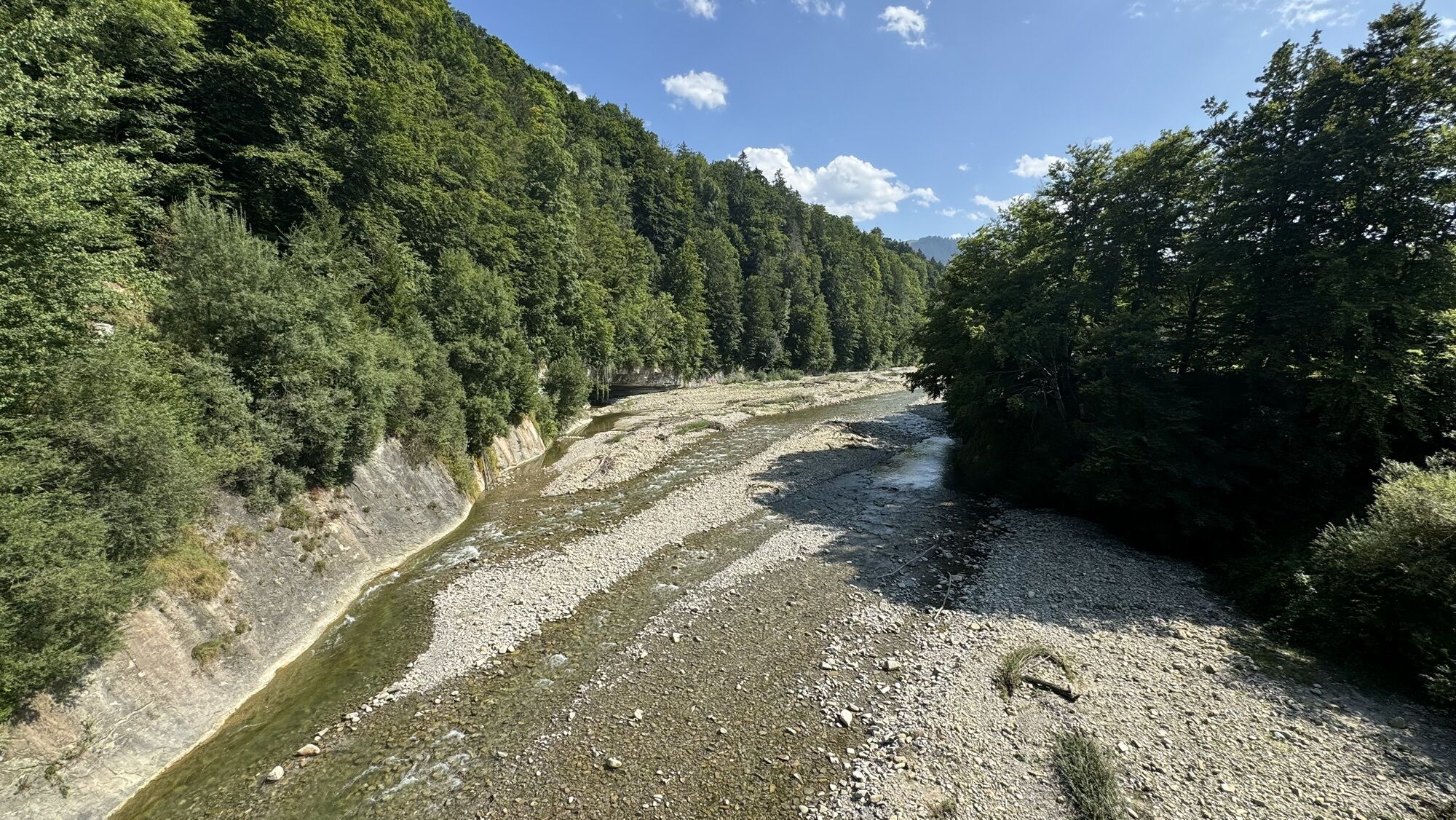
 © Heinrich MocelliniUstvarjeno na 22.04.2026
 -
 © Heinrich MocelliniUstvarjeno na 22.04.2026
 -
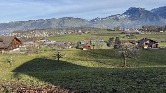
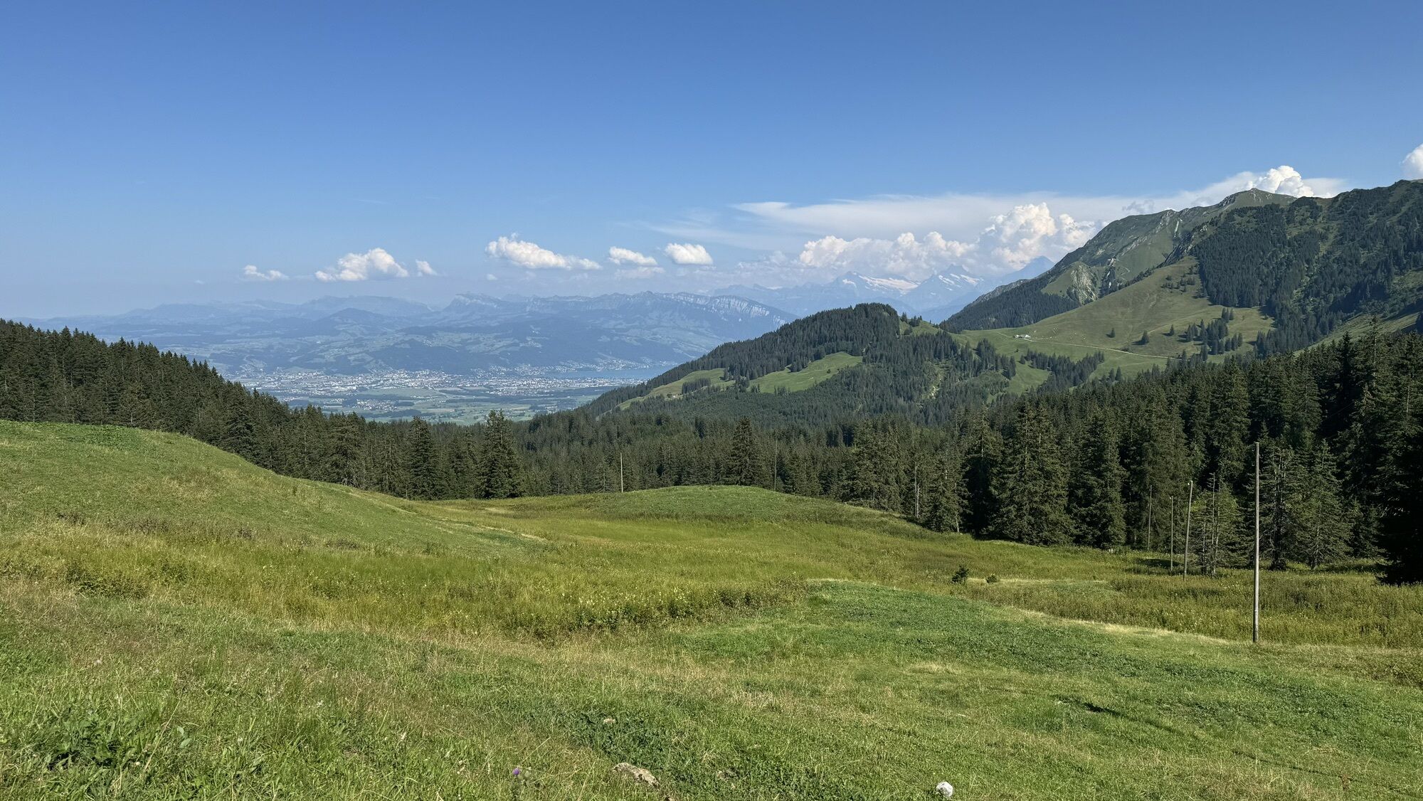
 © Heinrich MocelliniUstvarjeno na 22.04.2026
 -
 © Heinrich MocelliniUstvarjeno na 22.04.2026
 -
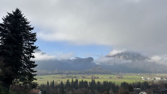
 © Cla83bachUstvarjeno na 19.03.2026
 -
 © Christian KrebsUstvarjeno na 02.01.2026
 -
 © peter_oeUstvarjeno na 13.11.2025
 -
 © peter_oeUstvarjeno na 13.11.2025
 -
 © Kurt RiederUstvarjeno na 08.10.2025
 -
 © Kurt RiederUstvarjeno na 08.10.2025
 -
 © Albert LehnerUstvarjeno na 03.10.2025
 -
 © Albert LehnerUstvarjeno na 03.10.2025
 -
 © DHHilleUstvarjeno na 16.07.2025
 -
 © Peter BurkiUstvarjeno na 12.07.2025
 -
 © Zengaffinen ErwinUstvarjeno na 23.05.2025
 -
 © peter_oeUstvarjeno na 06.03.2025
 -
 © peter_oeUstvarjeno na 21.01.2025
 -
 © peter_oeUstvarjeno na 21.01.2025
 -
 © peter_oeUstvarjeno na 21.01.2025
 -
 © peter_oeUstvarjeno na 21.01.2025
 -
 © peter_oeUstvarjeno na 17.12.2024
 -
 © peter_oeUstvarjeno na 17.12.2024
 -
 © peter_oeUstvarjeno na 29.11.2024
 -
 © peter_oeUstvarjeno na 29.11.2024
 -
 © peter_oeUstvarjeno na 28.10.2024
 -
 © peter_oeUstvarjeno na 28.10.2024
 -
 © peter_oeUstvarjeno na 21.10.2024
 -
 © peter_oeUstvarjeno na 24.08.2024
 -
 © peter_oeUstvarjeno na 24.08.2024
 -
 © peter_oeUstvarjeno na 13.08.2024


Simon Hofstetter, Sous-Chef, Jungfrau-Hotel Wilderswil recommends:
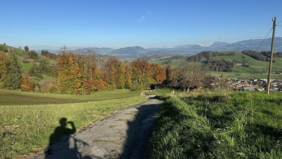
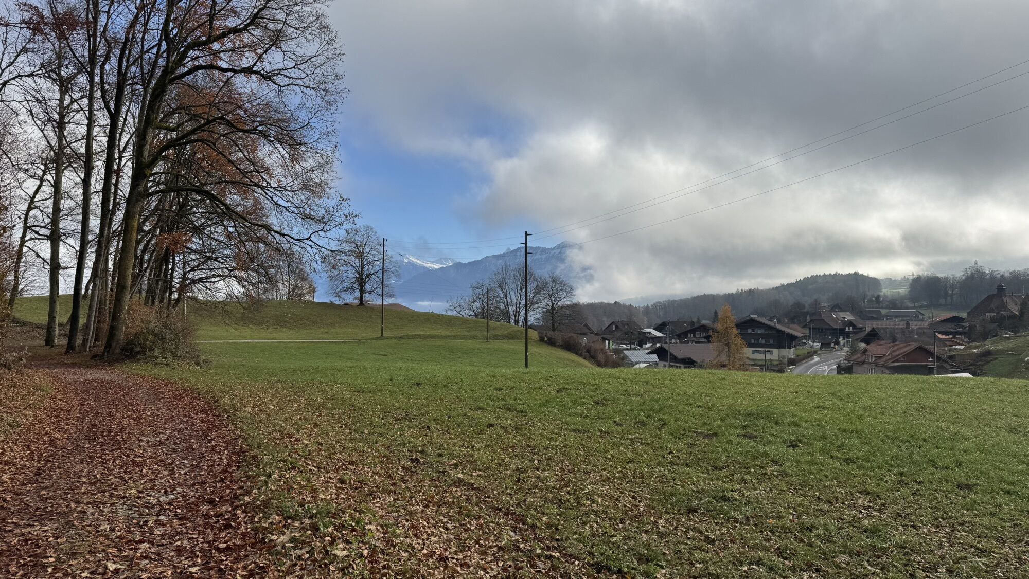
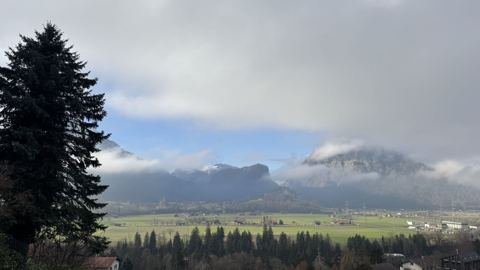
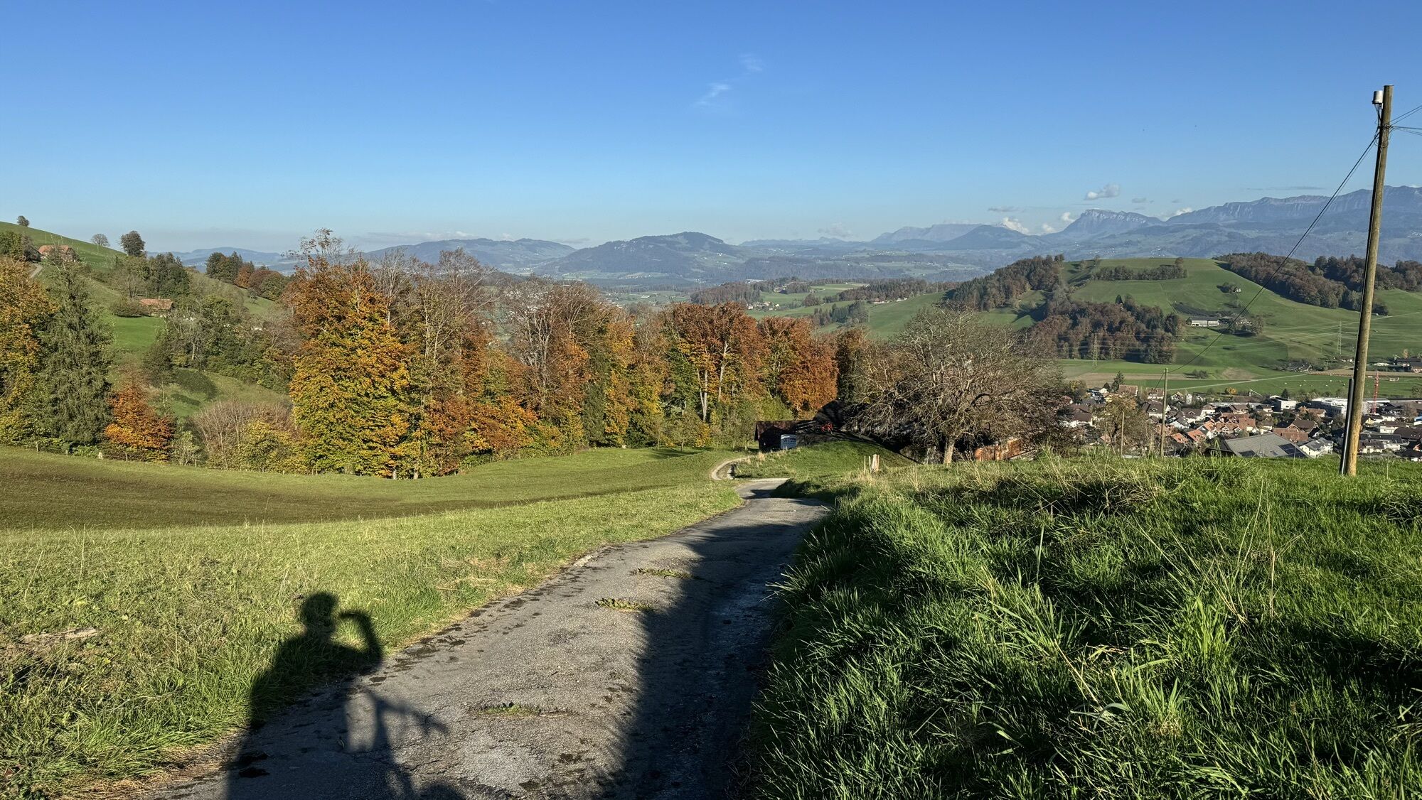
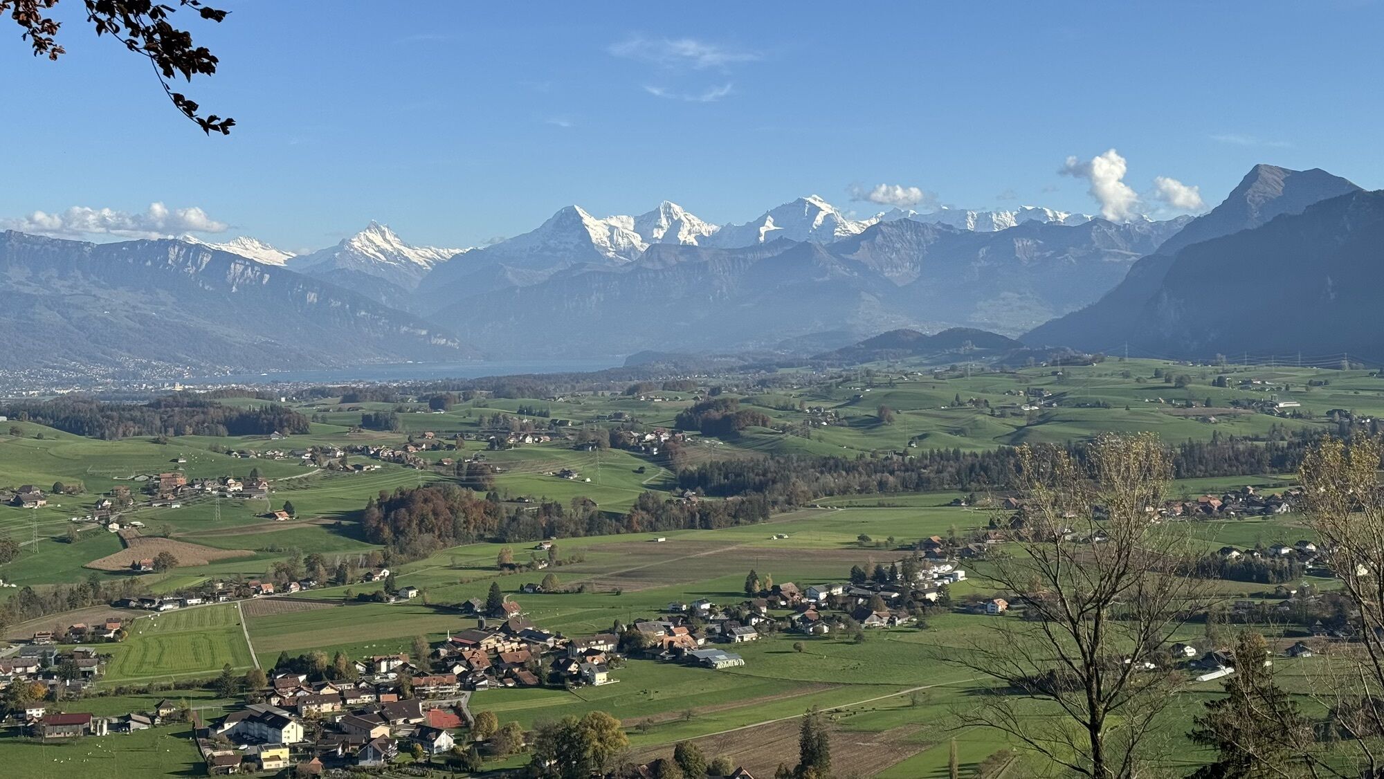
This tour takes you round the Bernese Gantrisch region, an area that promises memorable motorbiking moments. After setting off in Wilderswil,...
Simon Hofstetter, Sous-Chef, Jungfrau-Hotel Wilderswil recommends:
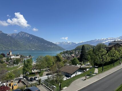
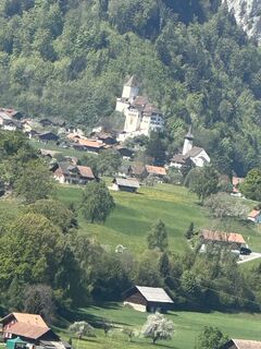
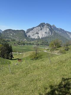
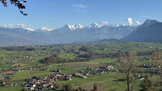
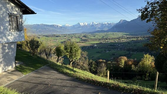
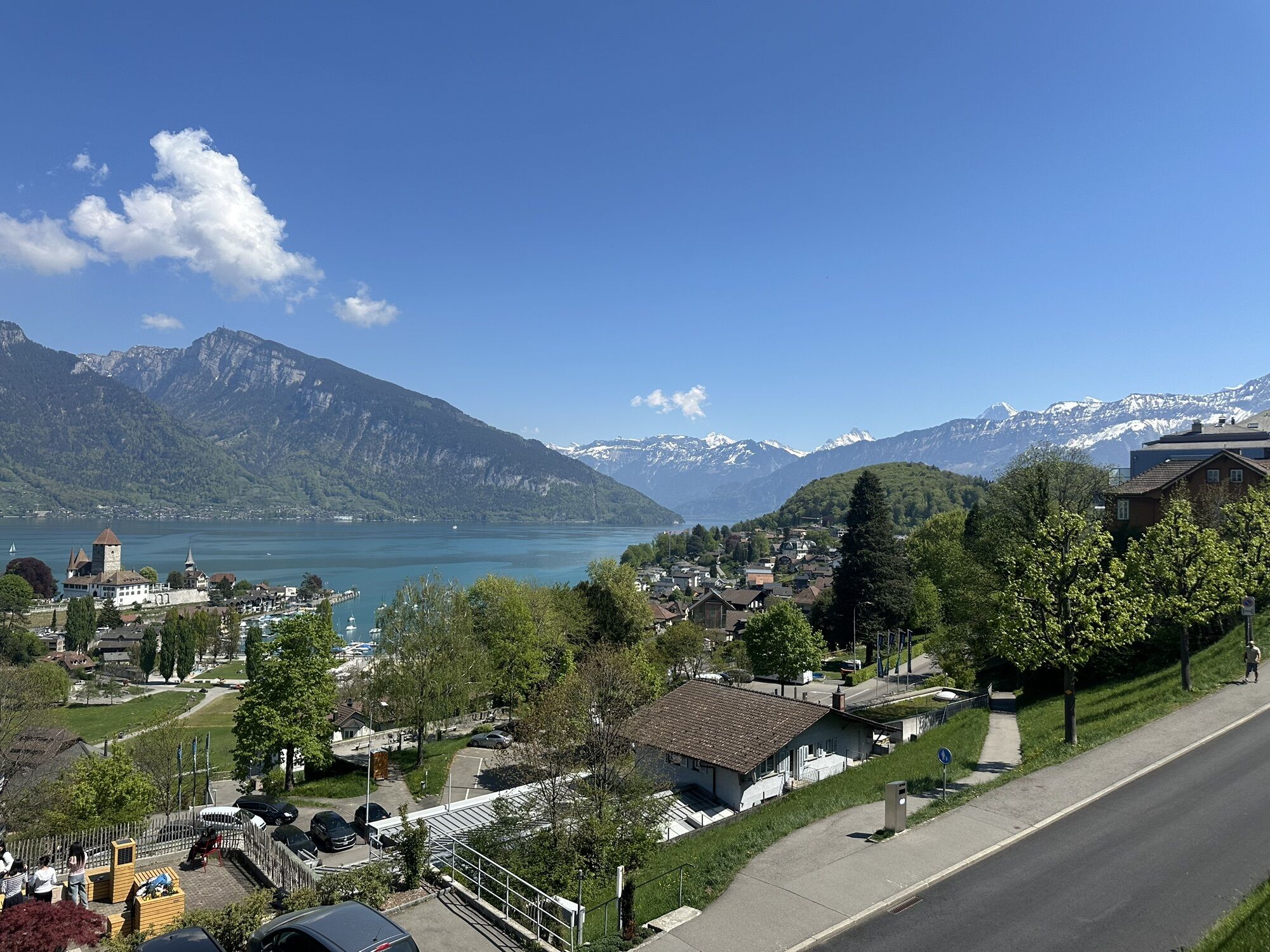
This tour takes you round the Bernese Gantrisch region, an area that promises memorable motorbiking moments. After setting off in Wilderswil, there is a short stretch on the motorway before the route takes you through the gentle hills of the Stockental valley, where traffic is light and you can enjoy the beautiful Bernese Oberland landscape. After a short ascent from Wattenwil to Rüti near Riggisberg, you will reach the foot of the Gurnigel. The small pass accesses the Gantrisch region and connects canton Bern with neighbouring Fribourg. This road is a fantastic experience for fans of hairpin bends and easy riders alike. After this section, we recommend you take a break by the pass summit restaurant to soak up the views and breathe in the crisp mountain air. Surrounded by mountains, scenic Lake Schwarzsee beckons for a short lunch break. The section of the journey from the lake to Kehrsatz leads you straight into the Aare Valley. Country roads run through the wide valley towards Gwatt, from where you can follow the shores of Lake Thun back to your starting point at Wilderswil.
Highlights:
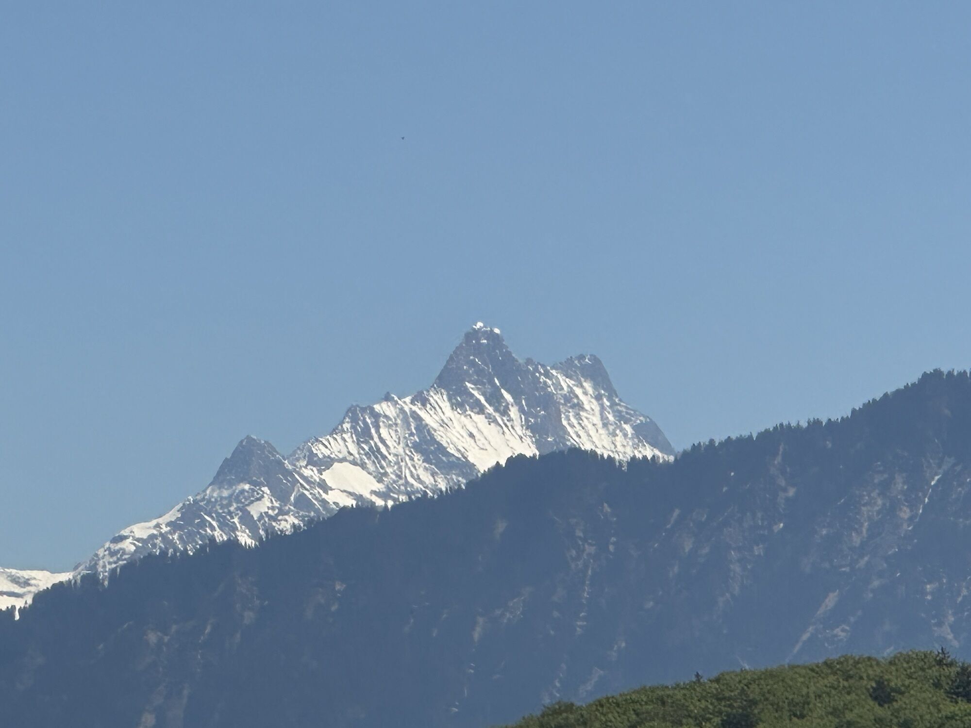
- Riding over the Gurnigel Pass, stunning views thrown in!
- The Gurnigel motorbike meet at the lower Gantrisch Hut, every Tuesday between June and September. Starting at 18.00h, this meet features local brand reps, opportunities to test-ride vehicles and refreshments (it's the highest-altitude Swiss motorbike meet at 1508 metres above sea level).
- Lake Schwarzsee - ideal for refreshments etc.
- Scenic views towards the Bernese Oberland from Gerzensee
- Scenic views of Lake Thun from Faulensee
- Crossing the "Röstigraben", the famous German-French language border
See also
Interlaken Tourismus
Marktgasse 1
3800 Interlaken
Tel.: +41 (0)33 826 53 00
E-Mail: mail@interlakentourism.ch
Internet: www.interlaken.ch
Wilderswil - Spiez - Stockental - Wattenwil - Rüti bei Riggisberg - Gurnigel - Schwarzsee - Kehrsatz - Gwatt bei Thun - Faulensee - Wilderswil
Spletne kamere s turneje
-
Süftenenkreuzung - Langlaufzentrum Gantrisch
-
Guggisberg
-
Talstation Kaisereggbahnen, Schwarzsee
-
Bärghuus Riggisalp, Kaiseregg
-
Schwarzsee - Stalden - Side Cut Sports
-
Bergstation Lischboden
-
Thunersee - Neuhaus
-
Bönigen - Brienzersee
-
Schynige Platte
-
Panoramabrücke Sigriswil
-
Bergstation Sesselbahn Kaiseregg
-
Süftenenkreuzung - Langlaufzentrum Gantrisch
-
Harder Kulm
-
Gantrisch - Gurnigel
-
Köniz
-
Aeschiried Restaurant Panorama
-
Skihütte Aeschiallmend
-
Skihütte Aeschiallmend
-
Ottenleue Talstation
-
Merligen Hotel Beatus
-
Interlaken - Casino
-
Interlaken - Niederhorn
-
Guggisberg
-
Bern - Bellevue Palace
-
Bern - Gurten
-
Bern - Flughafen
-
Schönberg Gunten
-
Ulten
-
Schwarzsee - Senseland
-
Gantrisch Gurnigel
-
Rosengarten
-
Bellevue Palace
Priljubljeni izleti v okolici
-
4.5
Gantrisch Summit Hike, 2176 m elevation
srednjaPohodništvo 9.13 km -
4.8
Wasserscheide - Gantrisch Seeli
svetlobaPohodništvo 9.33 km -
4.0
High-altitude hike Gurnigel - Stockhorn
srednjaPohodništvo 11.2 km -
4.7
Summit hike Ochsen, 2188 m.a.s.l.
srednjaPohodništvo 7.94 km -
4.6
Chartreuse - Thun - Hünibach - Goldiwil
srednjaPohodništvo 12.3 km -
5.0
Niesen
srednjaGorski pohodništvo 5.21 km -
4.5
Vreneli Trail Guggisberg
srednjaTematska pot 5.35 km -
5.0
Gürbetaler Höhenweg (Switzerland Mobility 380) - Beware detour
srednjaPohodništvo 18.2 km -
4.0
Circular hike Gürbequelle
srednjaPohodništvo 8.24 km -
Anspruchsvolle Wanderung im Simmental
srednjaPohodništvo 19.0 km
Pohodništvo in sledenje


Ne zamudite ponudb in navdiha za naslednje počitnice
Vaš e-poštni naslov je bil dodan na poštni seznam.