







"Wiesengrund and Marienkapelle" - CR1

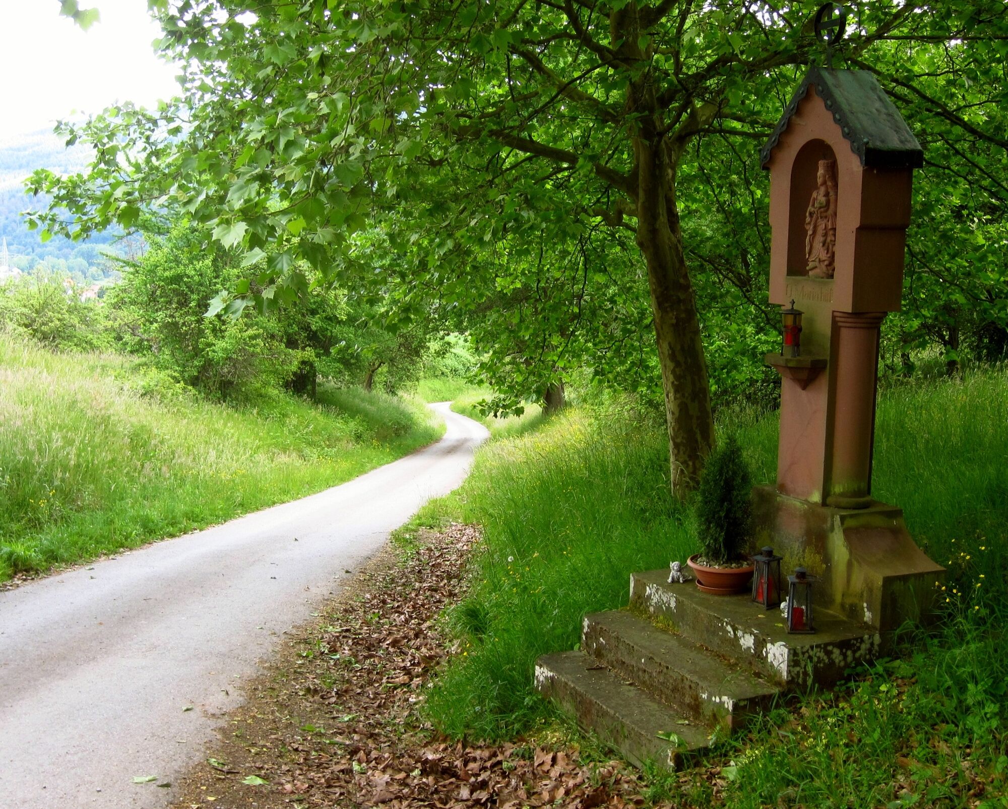
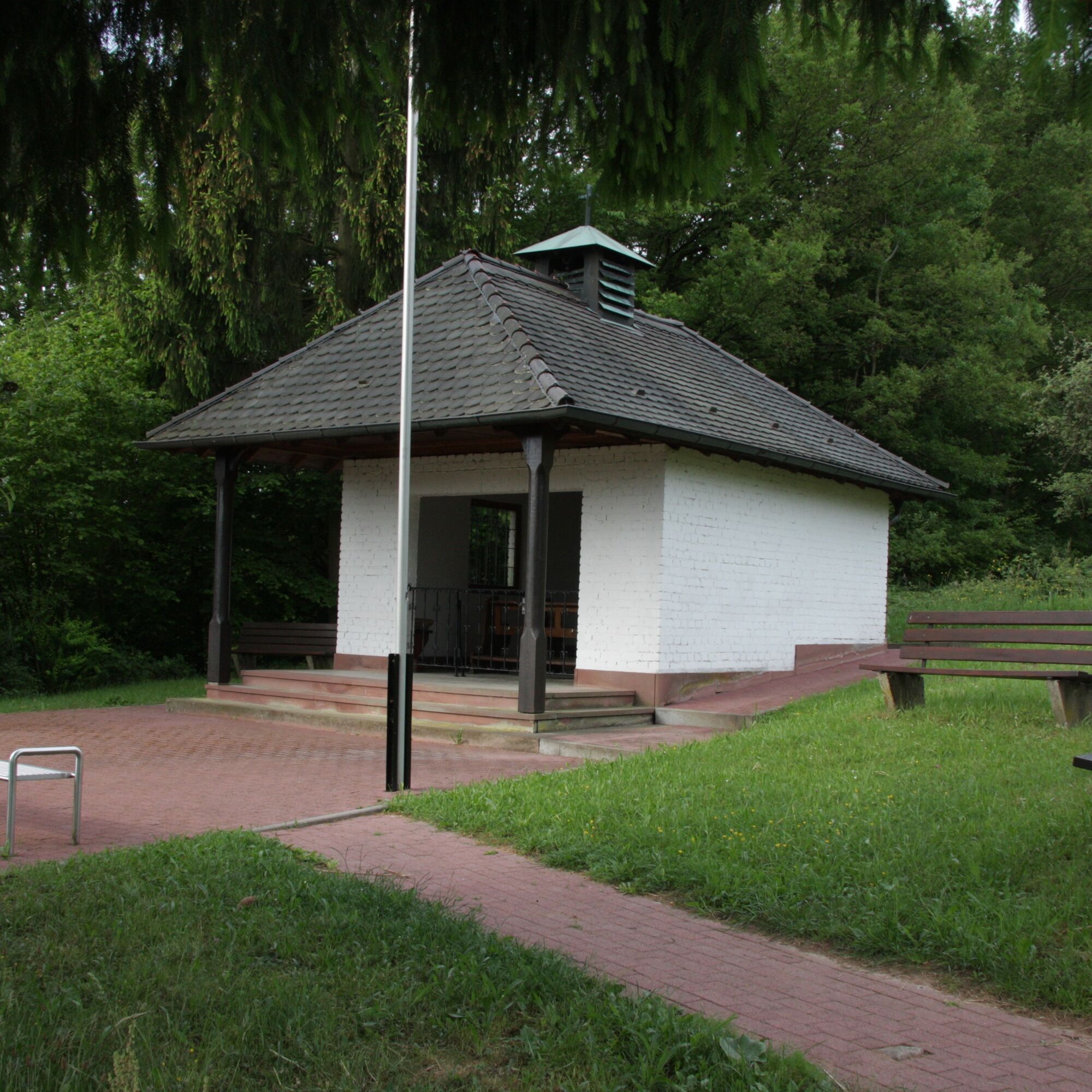
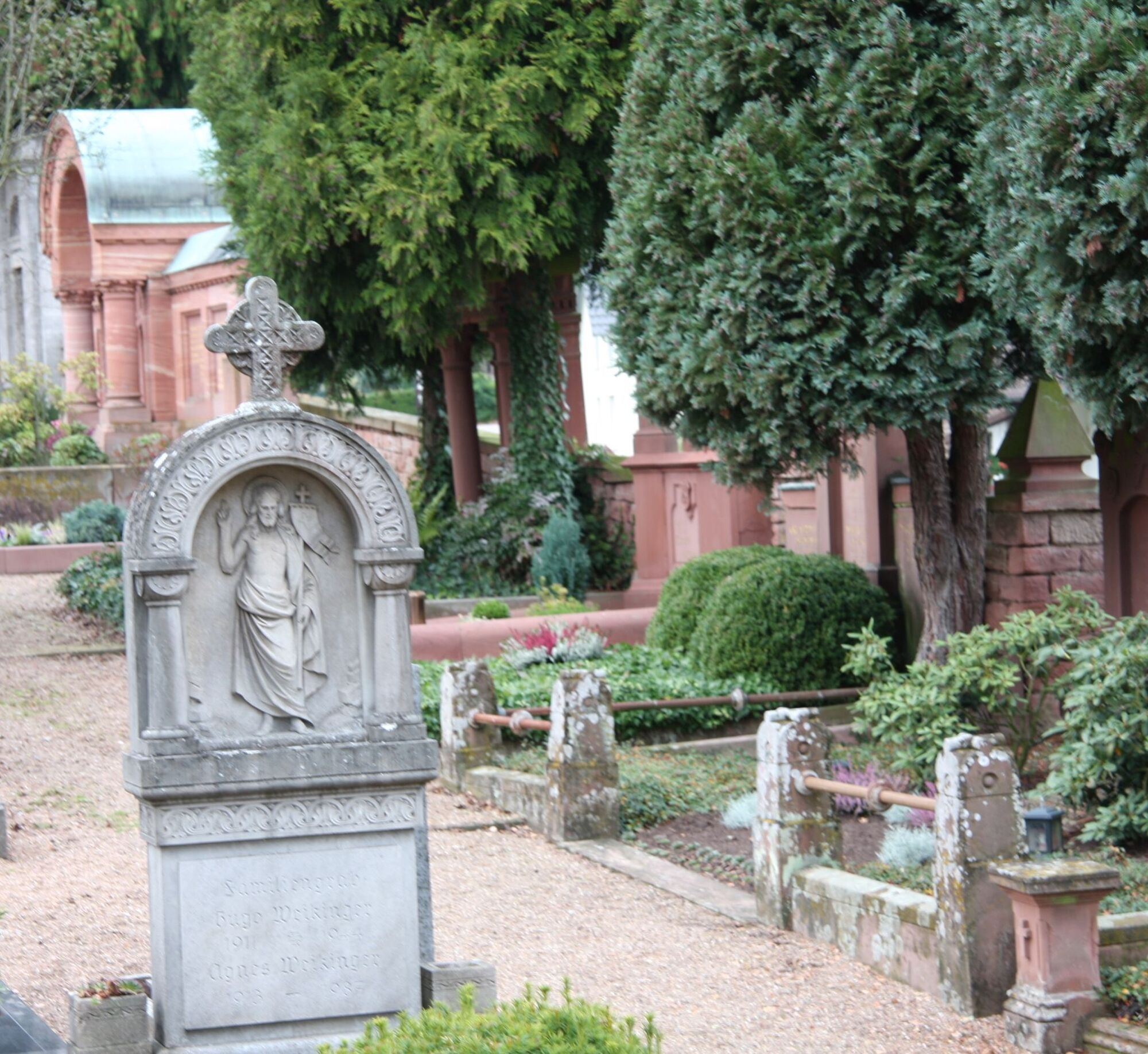
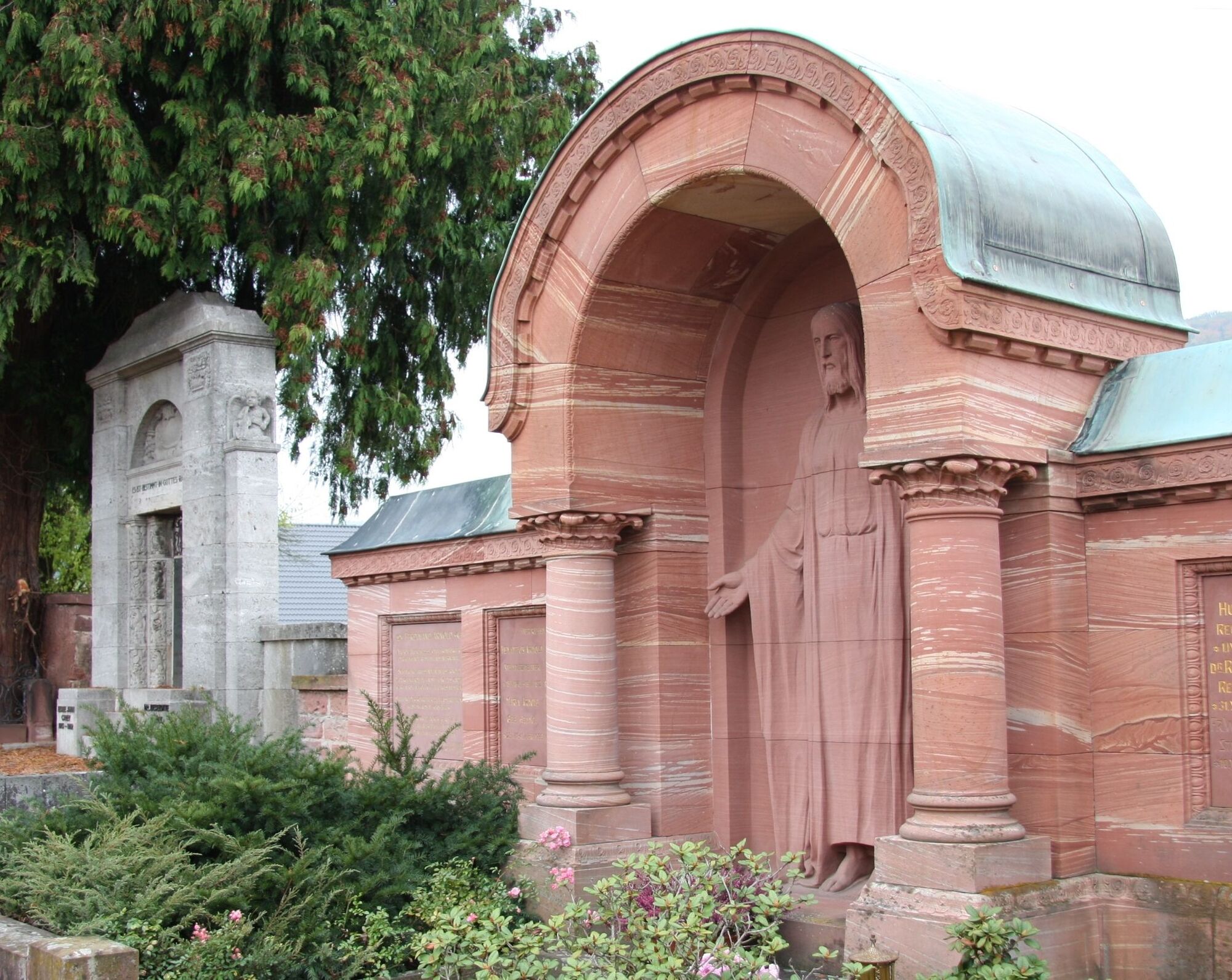
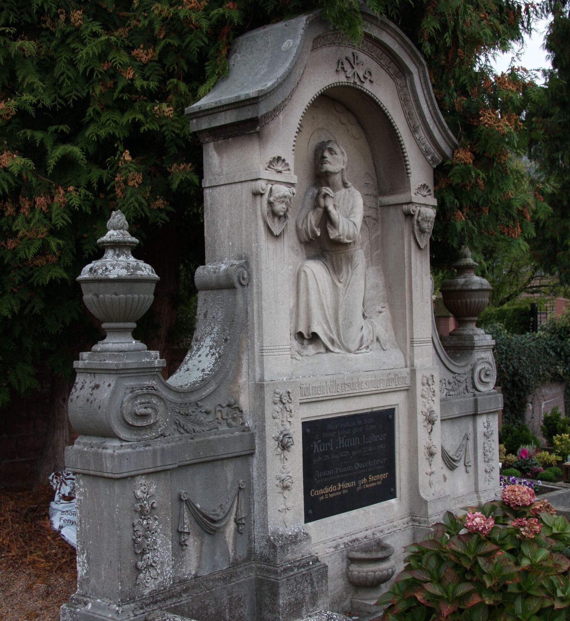
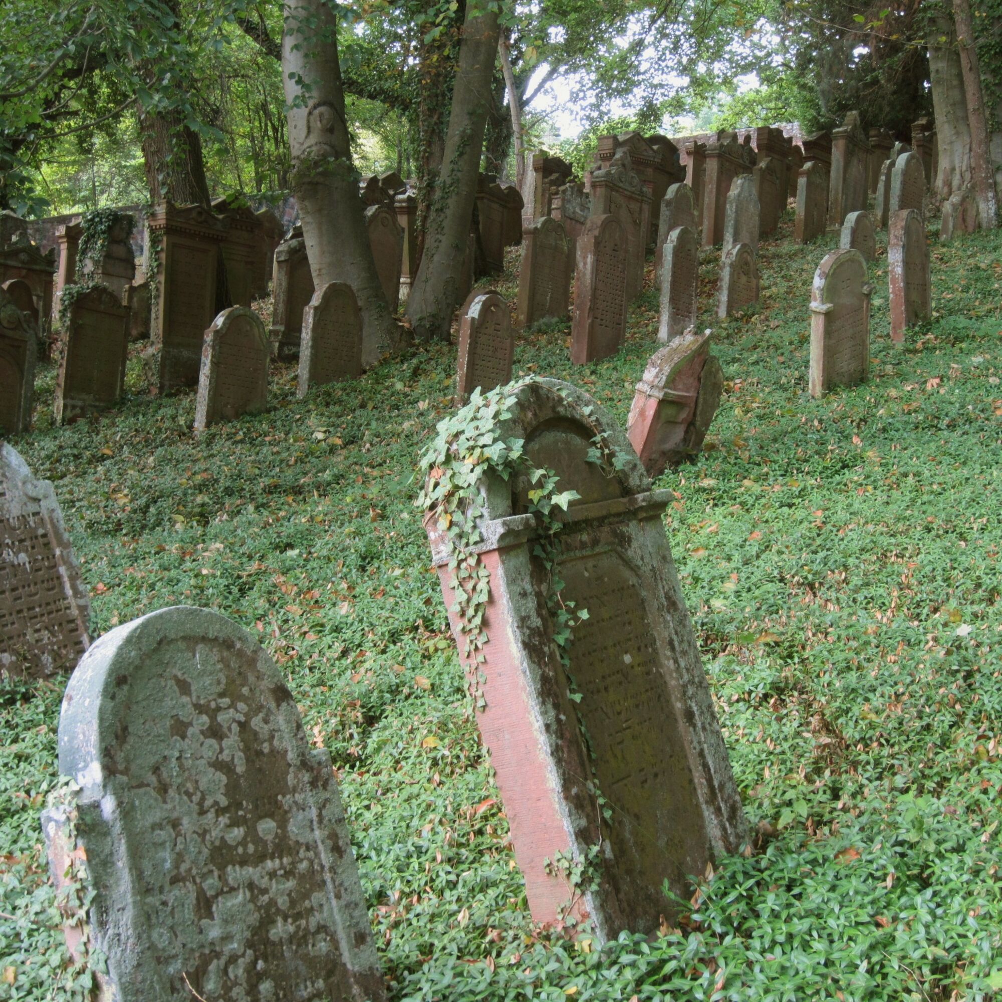

From the public parking lot at the listed Reistenhausen cemetery, for which you should definitely take your time, the path leads downward and meets the C3 hiking trail. We follow it to the left but leave it before the hollow way to the right and follow the field path past the last houses into the meadow valley. We stay on this path until the fork, where we stay left on the narrow path, which takes us further through meadow terrain, then into the forest and there onto a wide gravel path. After crossing a valley cut, we keep left downhill and come back onto open meadow land with the forest edge to our right. Through orchards, the path continues flat to the crest at the “White Image,” a Marian wayside shrine. Alternatively, you can shorten the route from there and reach the starting point downhill on the paved way (C3) straight ahead and through a hollow path. But the route continues to the right on C3, past the former Jewish cemetery. Shortly after, it leads us left uphill onto a meadow path and takes us to the forest edge. After a few meters in the forest, we leave C3, turn left downhill at the crossing path, then after 300 meters at the junction turn left downhill. We pass the fenced green waste collection point and walk uphill on the meadow path branching to the right by the forest edge with a wide view of Collenberg and the Main valley until the junction with the E8 hiking trail from the village or “Marienweg.” Here, you can alternatively continue on the E8 hiking trail to the district of Kirschfurt. Otherwise, we go steeply downhill towards the village, and after a short rest at the Marian chapel on the right with a beautiful view of the Main valley, we reach the first houses and then past the church and over Bildstraße with the houses of the stone barons, back to the starting point.
Coming from Würzburg via the A3 (exit Wertheim or Marktheidenfeld) and then on the right bank of the Main through the South Spessart, coming from Frankfurt via Miltenberg towards Wertheim and crossing the Main in Freudenberg, you are already in Collenberg-Kirschfurt and drive 4 km further to the district of Reistenhausen.
By train from Miltenberg or Wertheim towards Collenberg station, then 5 minutes on foot to the Reistenhausen cemetery
Car parking at the cemetery in Reistenhausen and at the train station (P+R)
Priljubljeni izleti v okolici
-
4.0
Amorbach Waldromantikweg aka. A9
srednjaPohodništvo 9.95 km -
"Of Clay, Stones and Shards"
srednjaPohodništvo 8.31 km -
5.0
Dorfprozelten: Kollenburg-Chapel-Route
srednjaPohodništvo 11.8 km -
5.0
Rüdenau mountain hike R1
težkoPohodništvo 13.8 km -
5.0
Roman Route in Miltenberg M1
težkoPohodništvo 15.3 km -
4.0
European cultural route: "From Hecke to Häcke in Hebboch"
srednjaPohodništvo 10.2 km -
Miltenberg - Engelberg Monastery - Kleinheubach Castle - round trip
težkoPohodništvo 12.6 km -
MainRadweg Wertheim bis Miltenberg
Kolesarjenje 35.7 km -
Nibelungensteig - 6th stage from Miltenberg to Amorbach
težkoPohodništvo 13.2 km -
3.0
Franconian Red Wine Hiking Route - 4th stage from Erlenbach to Klingenberg
svetlobaPohodništvo 4.08 km
Pohodništvo in sledenje


Ne zamudite ponudb in navdiha za naslednje počitnice
Vaš e-poštni naslov je bil dodan na poštni seznam.





