







Miltenberg - Engelberg Monastery - Kleinheubach Castle - round trip
Stopnja težavnosti: T1
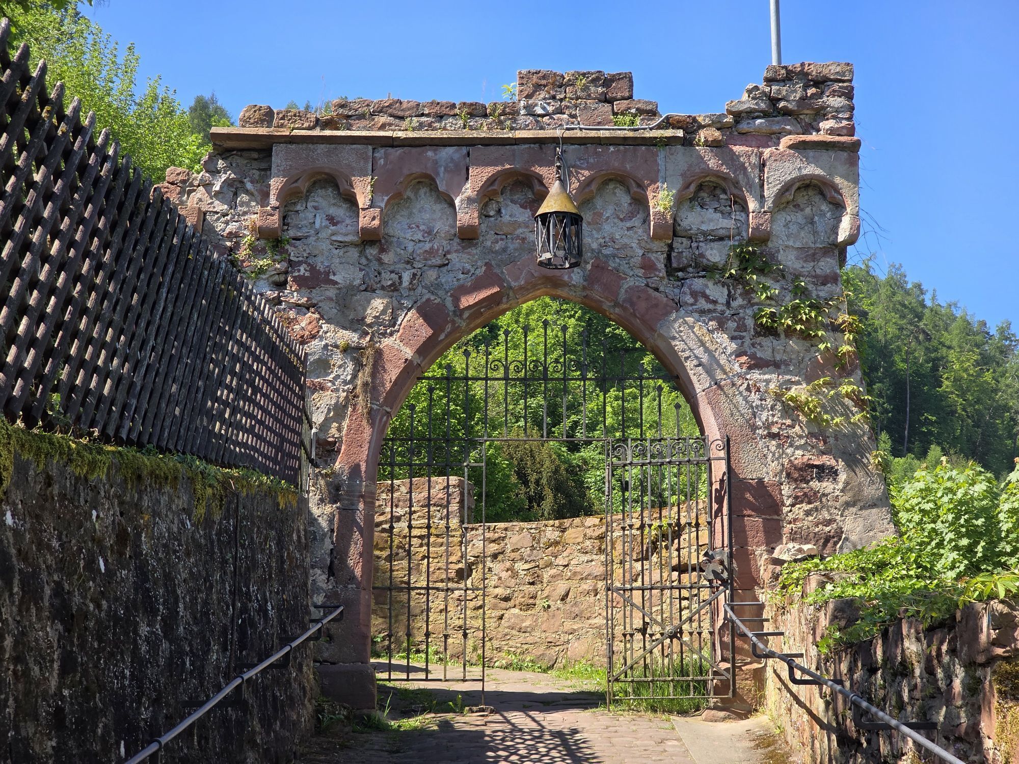
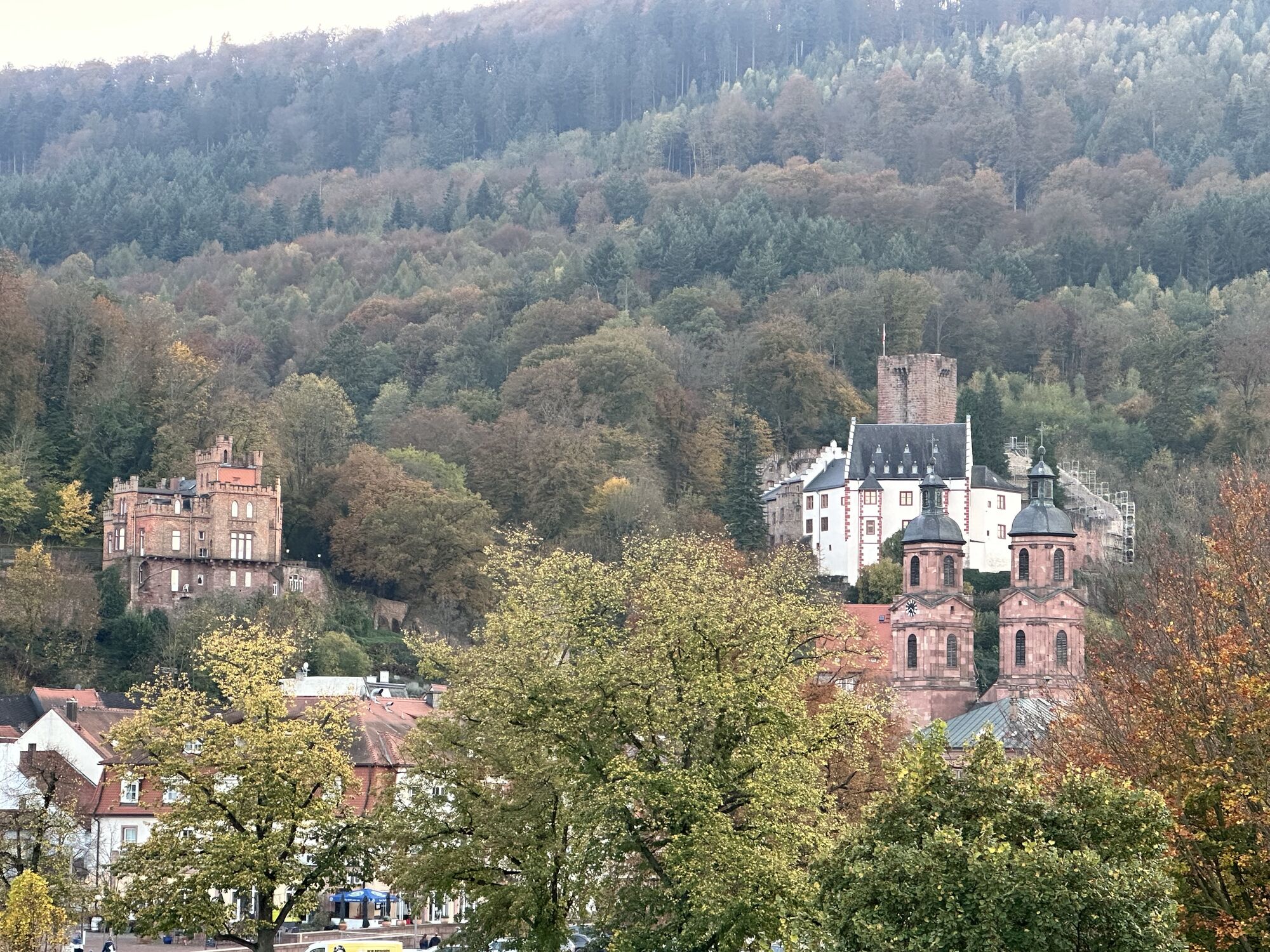
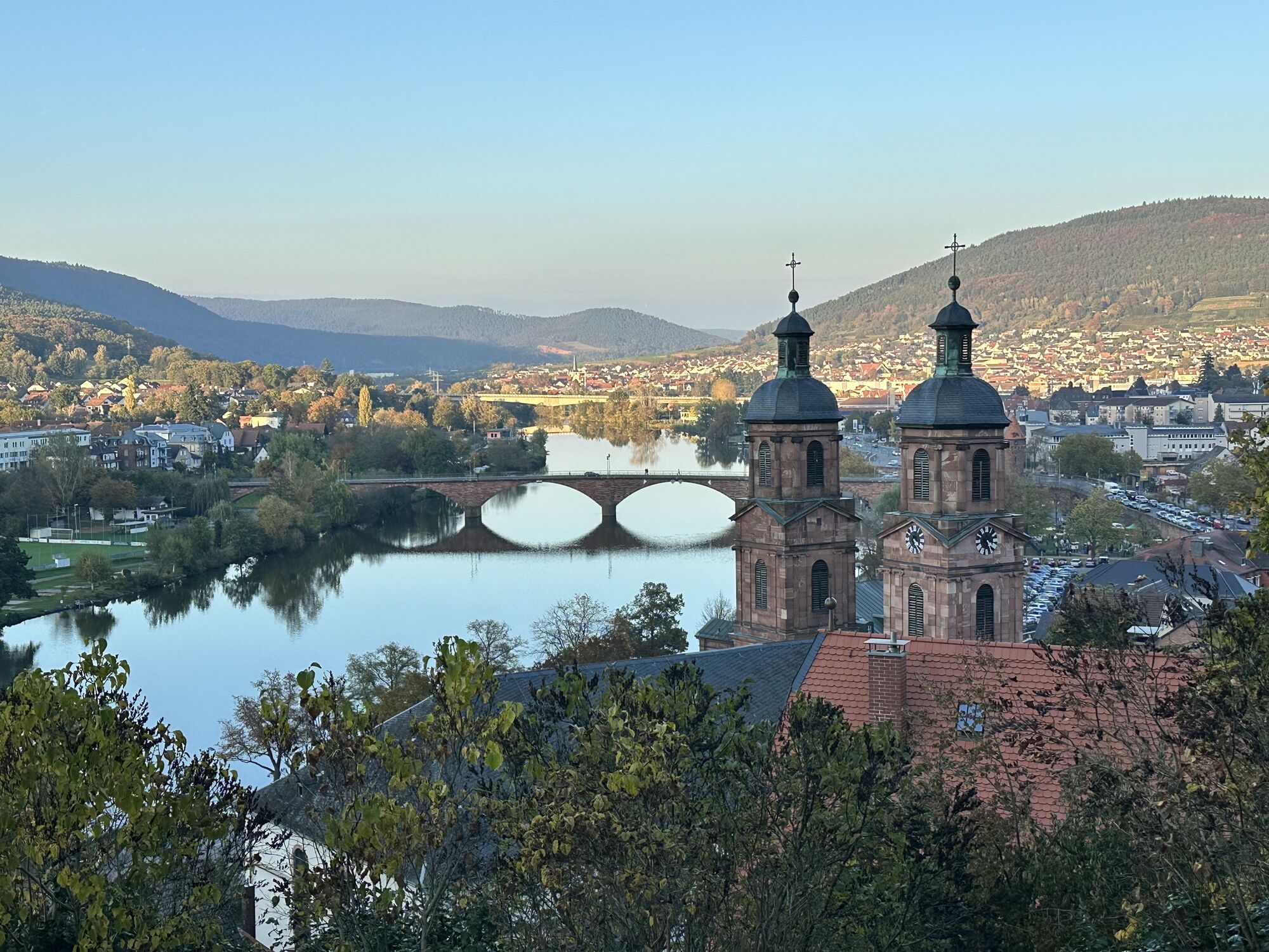
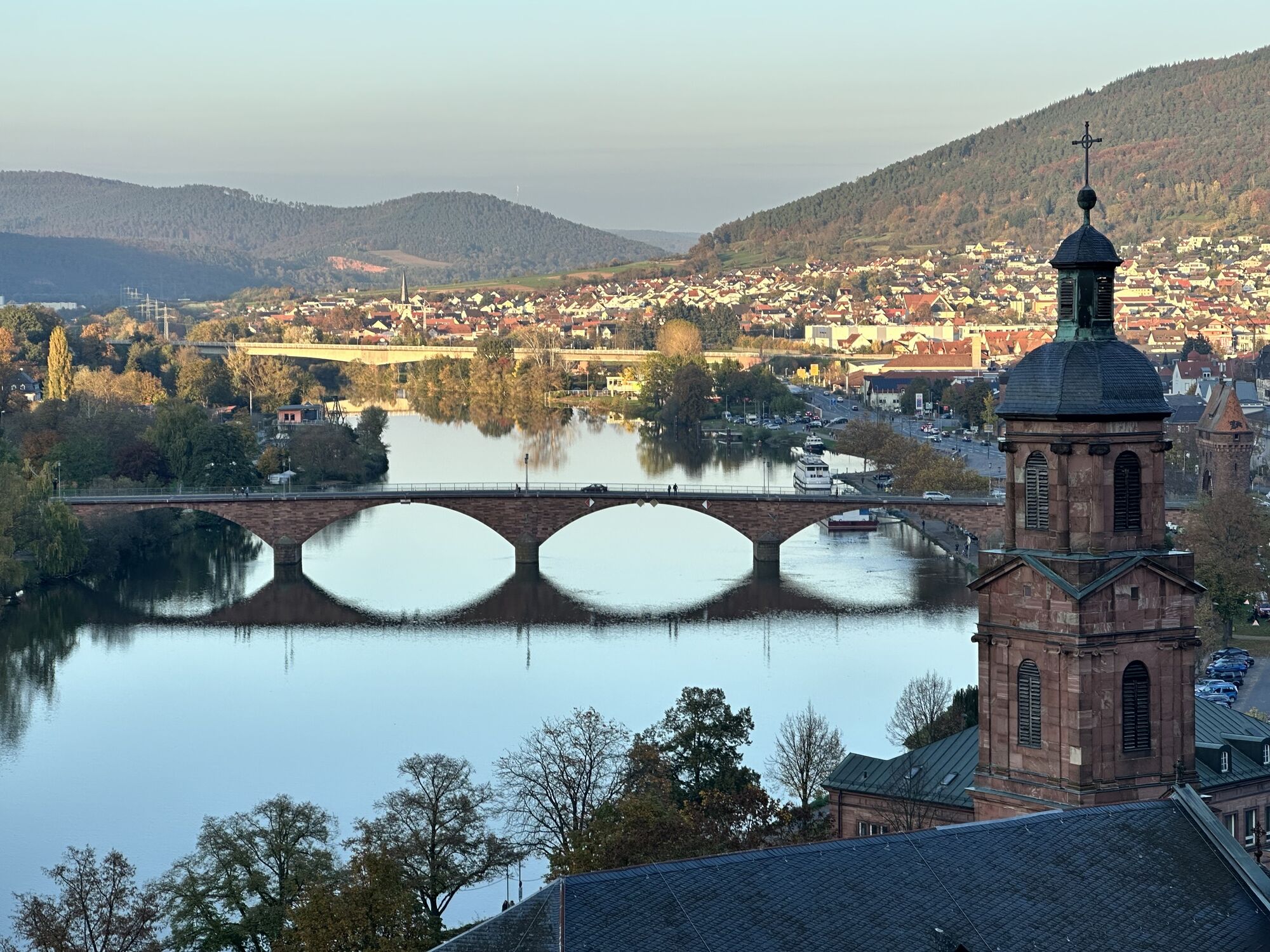
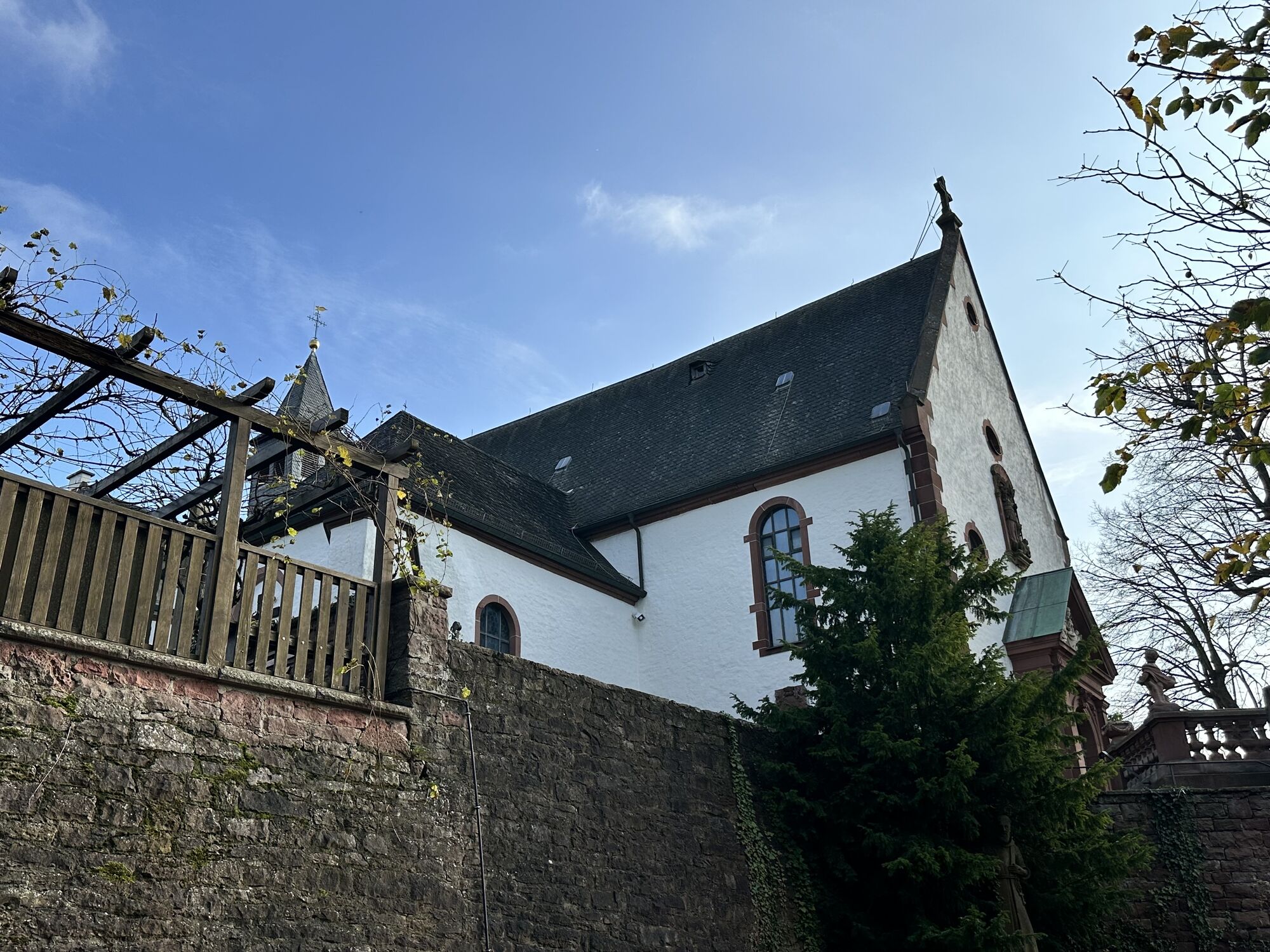

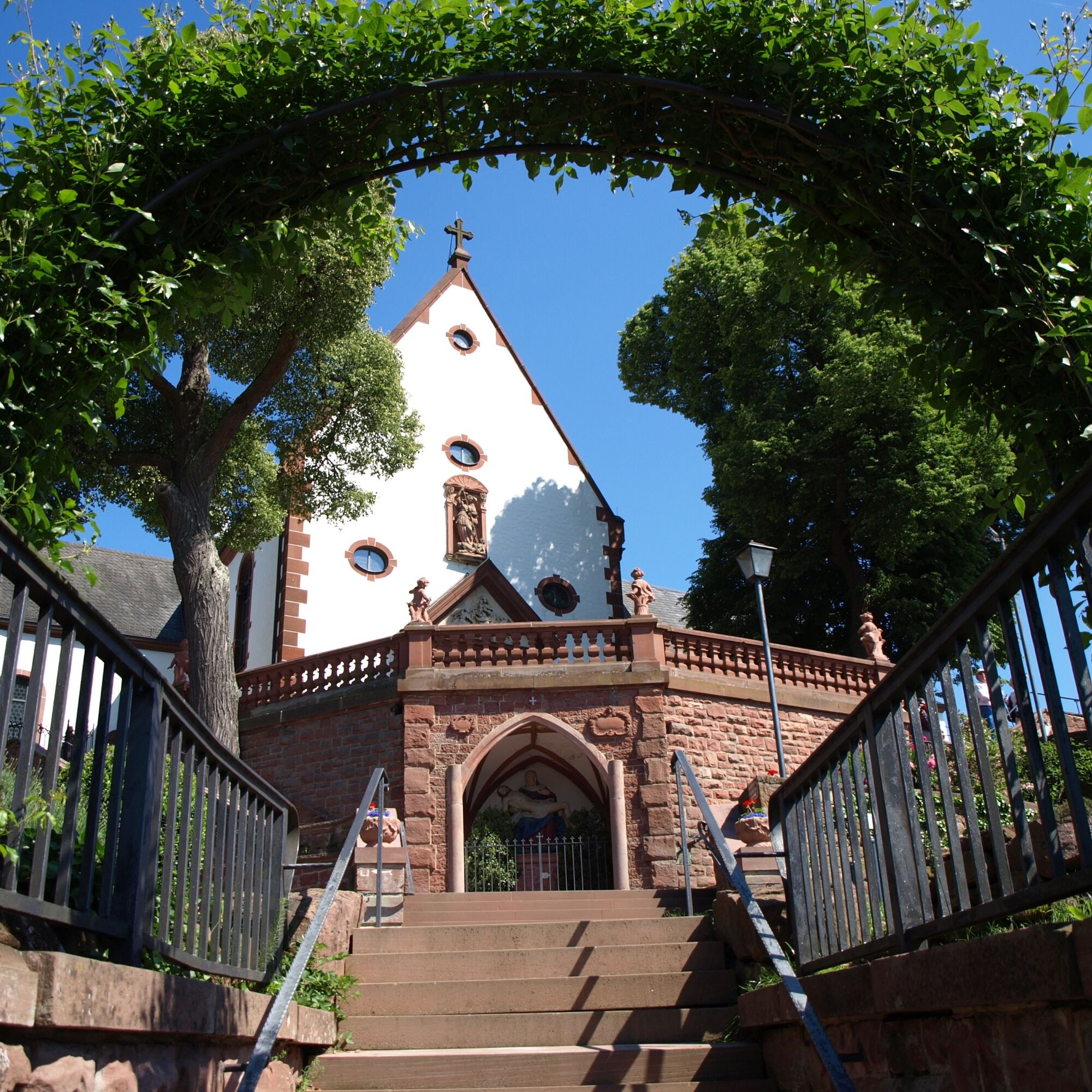

From Engelplatz, go down Ziegelgasse to Mainstraße and continue over the Main Bridge. Turn right in front of the district office and follow the Franconian Red Wine Hiking Trail marking until below the Maria-Hilf Chapel. The path leads you along the Main, onto the St. Martins Bridge, through the settlement in Miltenberg-North. After crossing the bypass road, uphill through forest and vineyards. Below the Maria-Hilf Chapel (information board), leave the Franconian Red Wine Hiking Trail and follow the Main Hiking Trail to Engelberg Monastery. It leads up the steps to the chapel and then continues through the forest to Engelberg Monastery. From the monastery, you have a beautiful view into the Main valley and the valleys of the Odenwald.
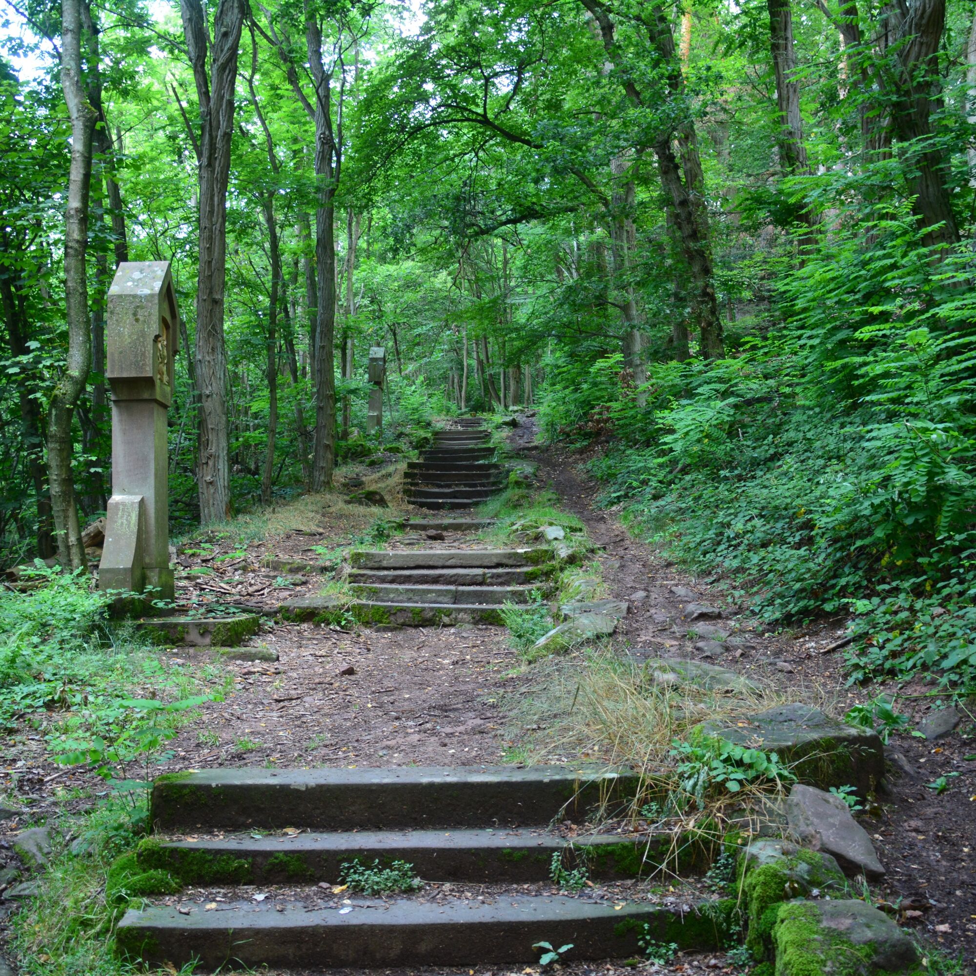
On the way back, follow the "blue diamond" marking to Kleinheubach. It takes you down 612 steps or a serpentine path to Großheubach and over the Main Bridge towards Kleinheubach, which you immediately leave on the right side.
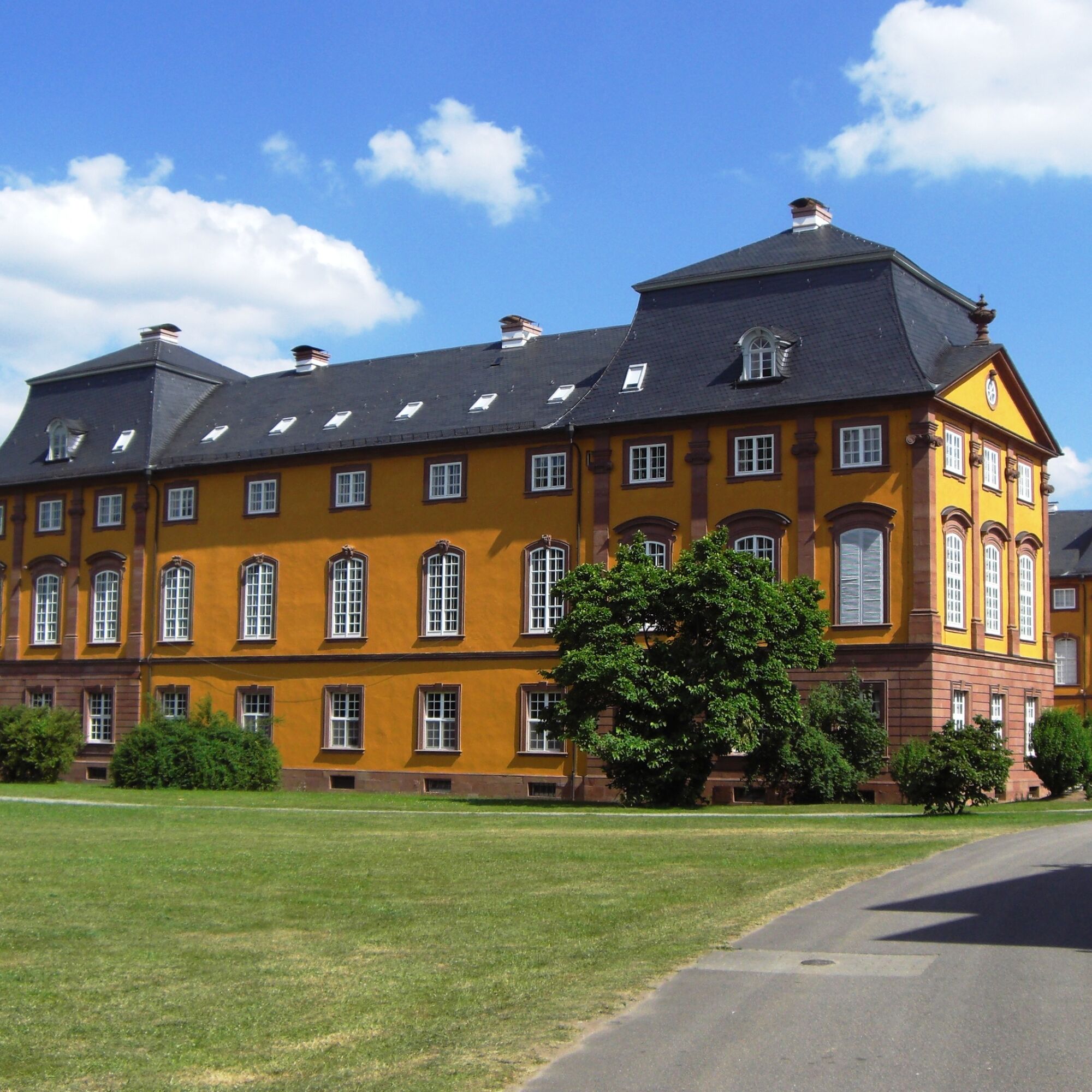
Once down, circle the fire station on the right, turn into the street "Im Steiner", and at the first opportunity turn left into the castle park. After a round through the Kleinheubach castle park, past the castle, you will come across the Limes Hiking Trail marking (Limes Tower, black) and follow it through the castle park towards Miltenberg. Near the "Parkhof" inn are Roman and medieval remains of the Roman fort. From here, continuing to follow the Limes Hiking Trail marking, you hike back to Miltenberg. You first cross the railway line, then turn left, walk past allotment gardens to the mud bridge, past the Laurentius Chapel and Laurentius Cemetery as well as the Mainz Gate towards the old town. At Schwertfeger Gate, go half-right through the so-called "Black Quarter" and finally reach the marketplace. Through the pedestrian zone, return to Engelplatz.
A3 to Stockstadt exit, continue on B469 towards Miltenberg. Or A3 to Marktheidenfeld exit, B469 continues towards Aschaffenburg via Miltenberg
Coming from the direction of Aschaffenburg or Wertheim, take the Westfrankenbahn to the Miltenberg stop
Zwillingsbogen parking lot and Old Town parking garage
T1
Priljubljeni izleti v okolici
- 4.0
Amorbach Waldromantikweg aka. A9
srednjaPohodništvo 9.95 km "Of Clay, Stones and Shards"
srednjaPohodništvo 8.31 km- 5.0
Dorfprozelten: Kollenburg-Chapel-Route
srednjaPohodništvo 11.8 km - 5.0
Roman Route in Miltenberg M1
težkoPohodništvo 15.3 km Obernburg - Eisenbach round
srednjaPohodništvo 10.7 km- 4.0
European cultural route: "From Hecke to Häcke in Hebboch"
srednjaPohodništvo 10.2 km - 5.0
Rüdenau mountain hike R1
težkoPohodništvo 13.8 km MainRadweg Wertheim bis Miltenberg
Kolesarjenje 35.7 km- 3.0
Franconian Red Wine Hiking Route - 4th stage from Erlenbach to Klingenberg
svetlobaPohodništvo 4.08 km Nibelungensteig - 6th stage from Miltenberg to Amorbach
težkoPohodništvo 13.2 km
Pohodništvo in sledenje


Ne zamudite ponudb in navdiha za naslednje počitnice
Vaš e-poštni naslov je bil dodan na poštni seznam.





