







In the footsteps of the Celts, Romans and Nibelungs

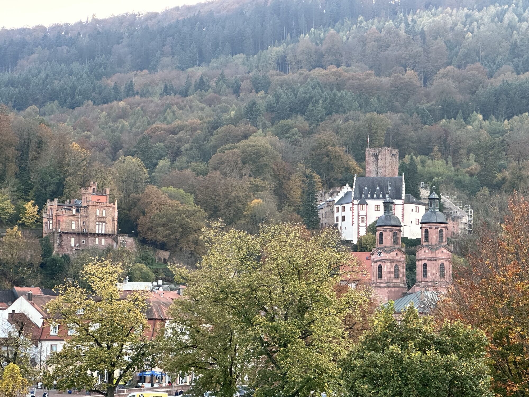
The Nibelungensteig from Zwingenberg on the Bergstraße to Freudenberg on the Main is a challenging hiking route of over 4000 meters elevation on almost 125 km length, which was awarded the highest quality...
The Nibelungensteig from Zwingenberg on the Bergstraße to Freudenberg on the Main is a challenging hiking route of over 4000 meters elevation on almost 125 km length, which was awarded the highest quality seal of the German Hiking Association "Quality Trail - Hiking in Germany" immediately after its completion in autumn 2009. In a constant up and down mainly on narrow paths and natural trails, this hiking trail is a challenge for young and old alike. In addition, there are many other reasons to hike the Nibelungensteig: a mix of landscape, culture and history that have formed an incomparable symbiosis here. Dreamlike picture-book panoramas alternate with shady forest passages and impressive forest scenes. Silent moments are replaced by eventful trail sections. But the charm and attraction of the Nibelungensteig are not only owed to its enchanting and varied landscape but also to its rich cultural history. There are only a few regions in Germany with a similar density of cultural sights. In addition to numerous castles and palaces, old fortified churches, chapels, crosses, wayside shrines, coat of arms-decorated boundary stones, and memorial stones recall earlier times.



From Schnatterloch we follow the Nibelungensteig "N" uphill to Ottostein.
At this distinctive signpost stone we keep right and continue uphill to Greinberg with its historic ring wall.
The hiking trail runs along the eastern wall edge, which gives the best impression of the site. Here also runs the local circular trail M1, which we now follow to the Haag viewpoint.
From the Haag viewpoint we continue to the Wenschdorfer Steige (M1). Here are the filled-in foundation remains of the Roman watchtower WP 7/6.
Section 7 of the upper Germanic-Rhaetian Limes begins at the Numerus fort Miltenberg-East, No. ORL 38a. It was responsible for the protection and supply of the first watchtowers on the new Limes stretch. There are no visible traces left of the watchtowers WP 7/1 to 6 either. From the watchtower site we walk downhill to the shooting range.
Below the shooting range our hiking route M1 turns left and leads along the edge of the forest or near the forest edge back to Schnatterloch.
Hiking boots
A3 to Marktheidenfeld exit, continue on B469 towards Aschaffenburg via Miltenberg
By train coming from the direction of Aschaffenburg or Wertheim to Miltenberg stop.
There are parking spaces available at the Main.
Old town Miltenberg, Mildenburg

Priljubljeni izleti v okolici
- 4.0
Amorbach Waldromantikweg aka. A9
srednjaPohodništvo 9.95 km "Of Clay, Stones and Shards"
srednjaPohodništvo 8.31 km- 5.0
Dorfprozelten: Kollenburg-Chapel-Route
srednjaPohodništvo 11.8 km - 5.0
Roman Route in Miltenberg M1
težkoPohodništvo 15.3 km - 5.0
Rüdenau mountain hike R1
težkoPohodništvo 13.8 km MainRadweg Wertheim bis Miltenberg
Kolesarjenje 35.7 km- 4.0
European cultural route: "From Hecke to Häcke in Hebboch"
srednjaPohodništvo 10.2 km Nibelungensteig - 6th stage from Miltenberg to Amorbach
težkoPohodništvo 13.2 kmMiltenberg - Engelberg Monastery - Kleinheubach Castle - round trip
težkoPohodništvo 12.6 km- 3.0
Franconian Red Wine Hiking Route - 4th stage from Erlenbach to Klingenberg
svetlobaPohodništvo 4.08 km

Pohodništvo in sledenje


Ne zamudite ponudb in navdiha za naslednje počitnice
Vaš e-poštni naslov je bil dodan na poštni seznam.





