







From Miltenberg to Monbrunn
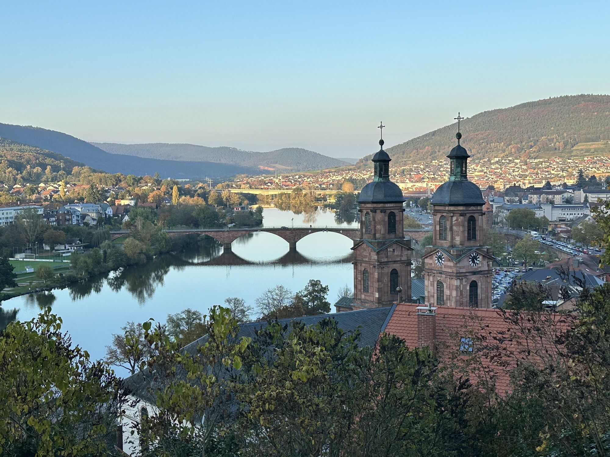
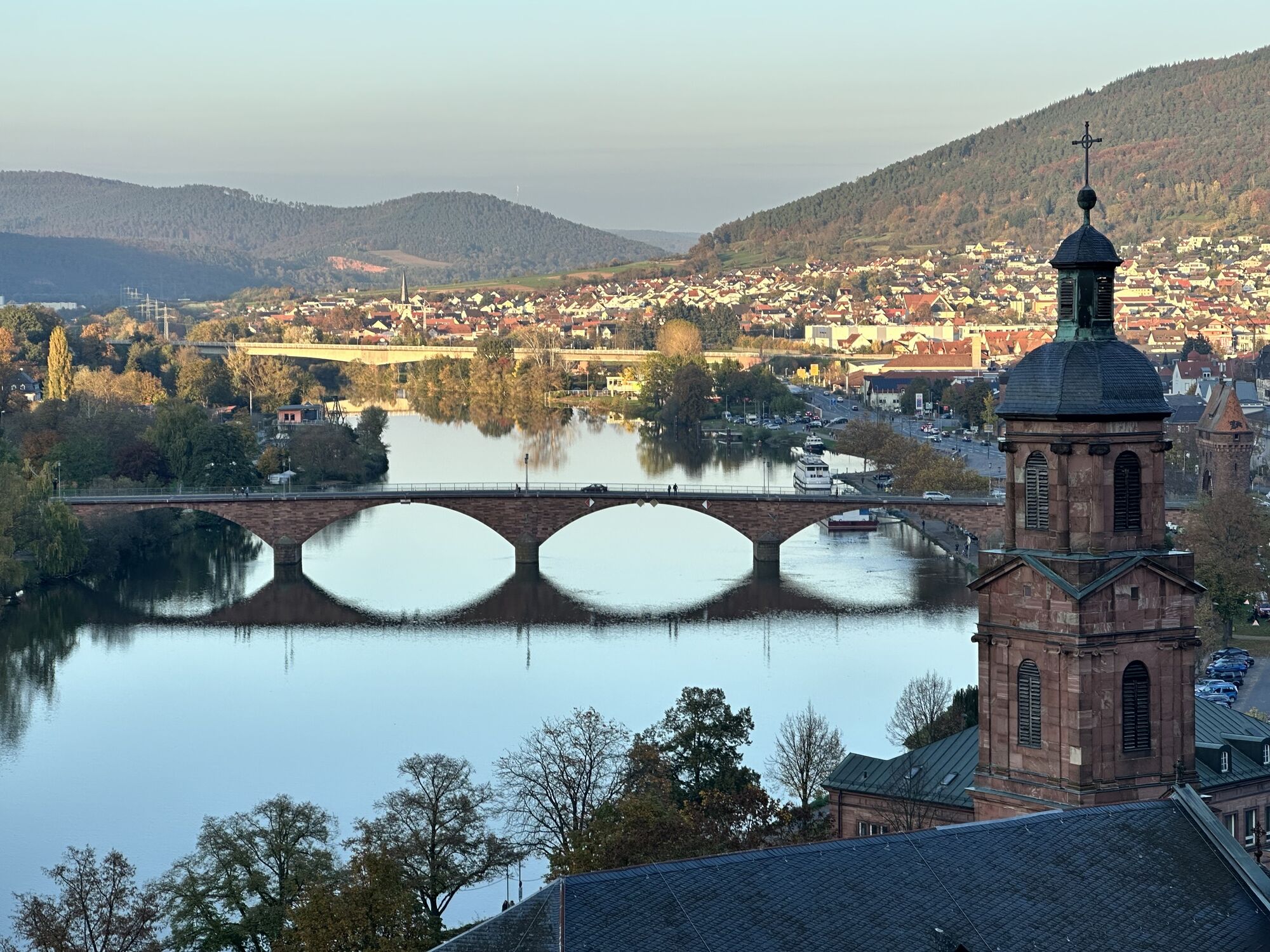

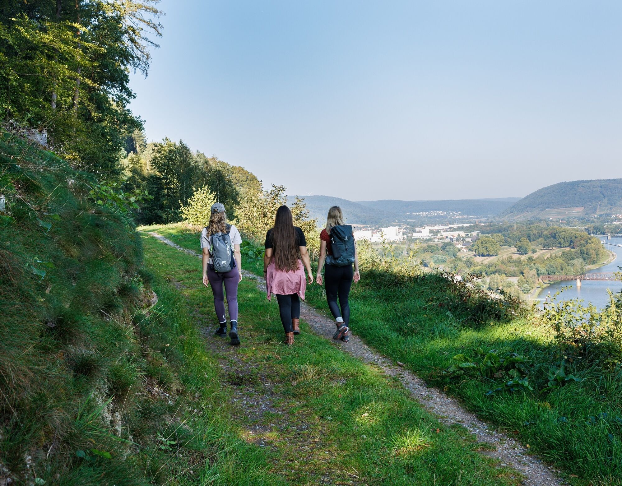

From the market square, we walk uphill through the Hexenturm and follow the Nibelungensteig trail marker (N). After walking through the archway under the bridge, we continue over the Felsenmeer to the Ottostein. There, we turn left and at the next fork immediately left again, following the M1 marker. We walk this path to the next intersection. Here, we take the right turn, the "Panoramaweg" (NOT down left following the M1 marker). We hike along this path for a while until sandstone steps are visible on the right side, which we follow up to the water protection hut. At the end of the steps, we turn right and then immediately take the next left turn. We then walk straight for a bit (NOT the right turn marked V) until we reach the wooden hut and take the first right turn towards Monbrunn. In doing so, we cross the gravel path and continue left along it. Then we walk straight ahead, crossing two intersections. Upon reaching the forest edge (follow path marker 1), we enter the village of Monbrunn.
A3 to Marktheidenfeld exit, continue on B469 towards Aschaffenburg via Miltenberg
Coming by train from the direction of Aschaffenburg or Wertheim to Miltenberg stop.
There are parking spaces available at the Main.
Priljubljeni izleti v okolici
-
4.0
Amorbach Waldromantikweg aka. A9
srednjaPohodništvo 9.95 km -
"Of Clay, Stones and Shards"
srednjaPohodništvo 8.31 km -
5.0
Dorfprozelten: Kollenburg-Chapel-Route
srednjaPohodništvo 11.8 km -
5.0
Roman Route in Miltenberg M1
težkoPohodništvo 15.3 km -
4.0
European cultural route: "From Hecke to Häcke in Hebboch"
srednjaPohodništvo 10.2 km -
5.0
Rüdenau mountain hike R1
težkoPohodništvo 13.8 km -
Nibelungensteig - 6th stage from Miltenberg to Amorbach
težkoPohodništvo 13.2 km -
Miltenberg - Engelberg Monastery - Kleinheubach Castle - round trip
težkoPohodništvo 12.6 km -
MainRadweg Wertheim bis Miltenberg
Kolesarjenje 35.7 km -
3.0
Franconian Red Wine Hiking Route - 4th stage from Erlenbach to Klingenberg
svetlobaPohodništvo 4.08 km
Pohodništvo in sledenje


Ne zamudite ponudb in navdiha za naslednje počitnice
Vaš e-poštni naslov je bil dodan na poštni seznam.





