





Legend summit - mountain route on the Breitenberg in Pfronten
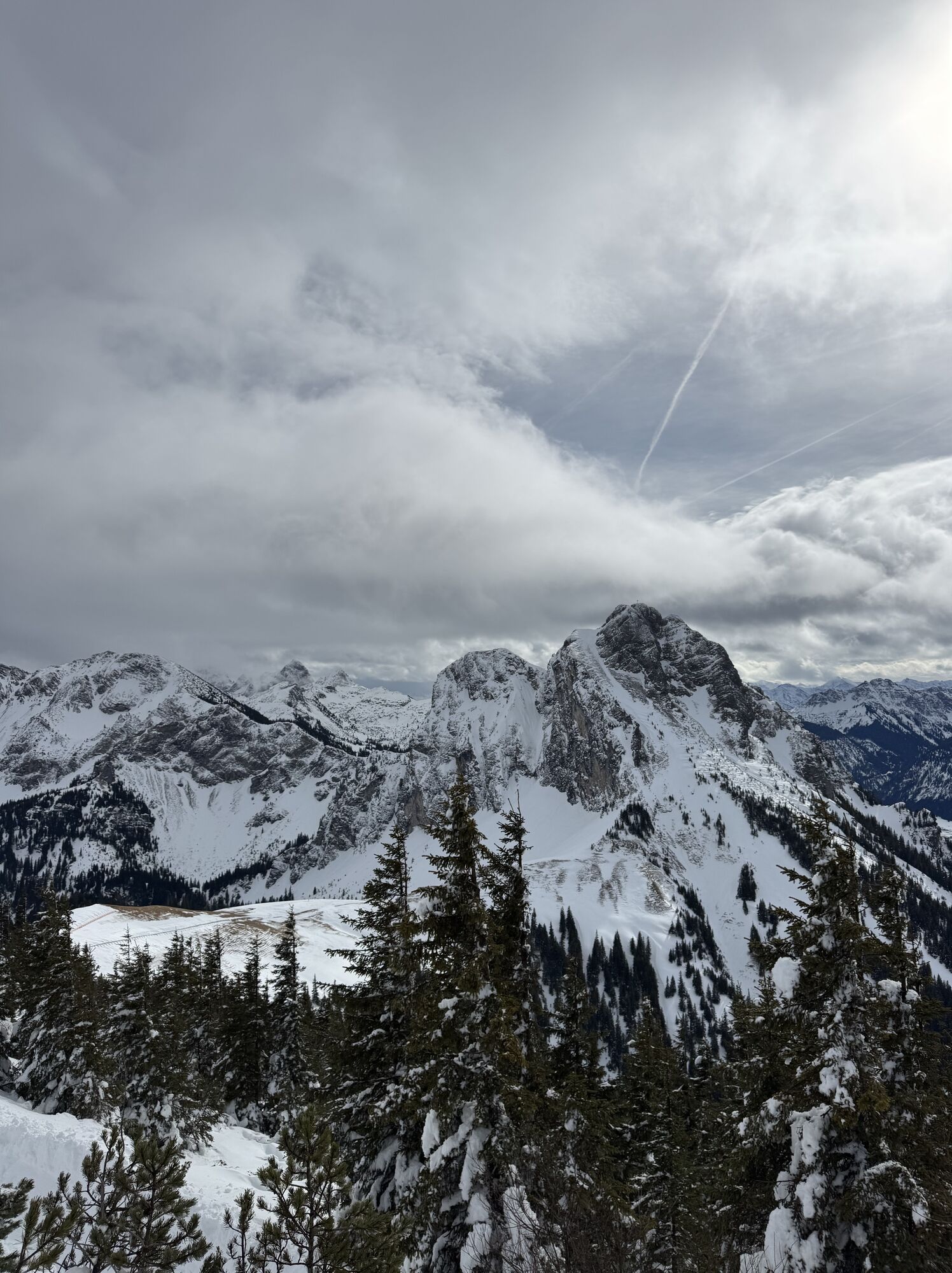


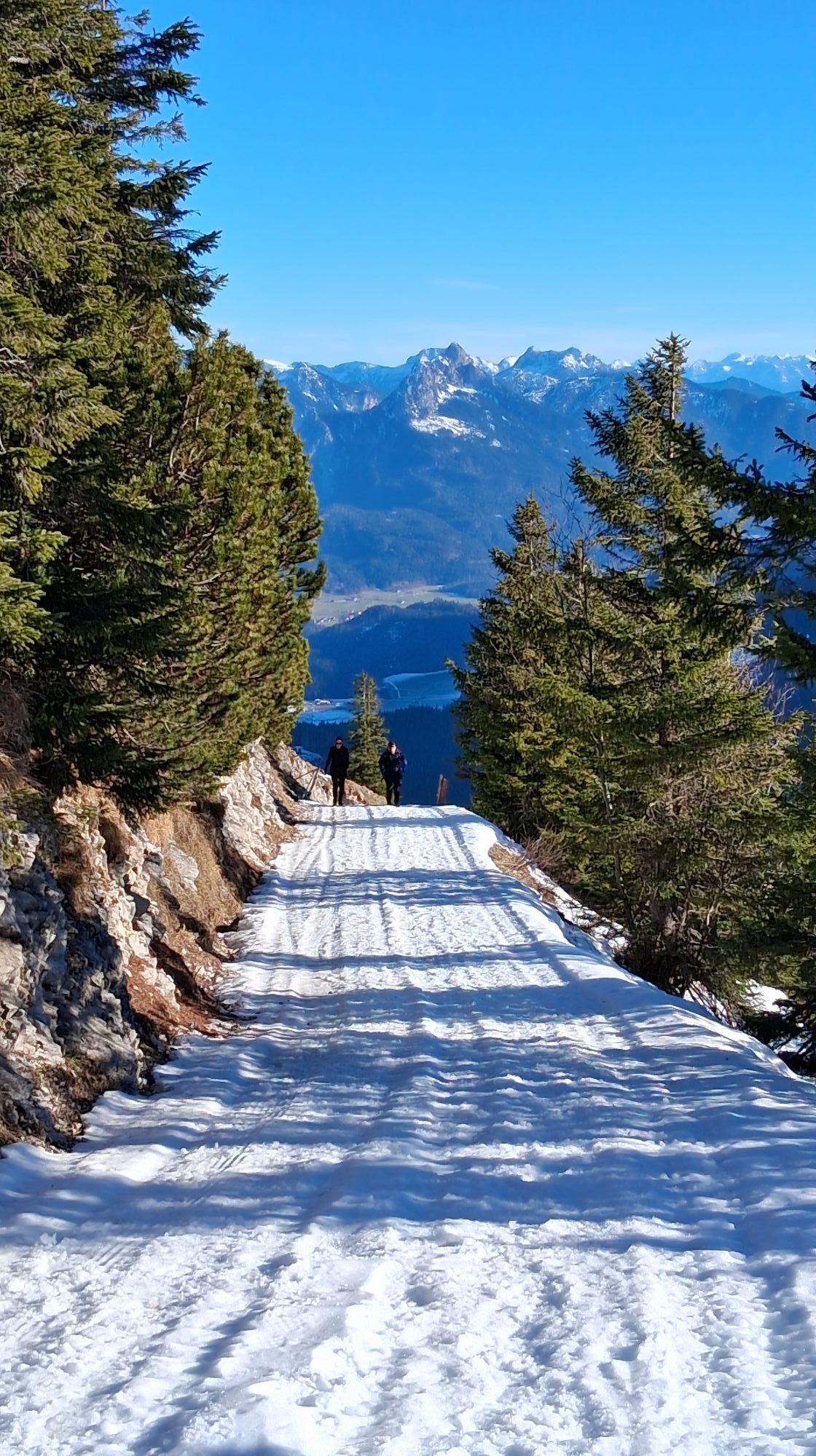
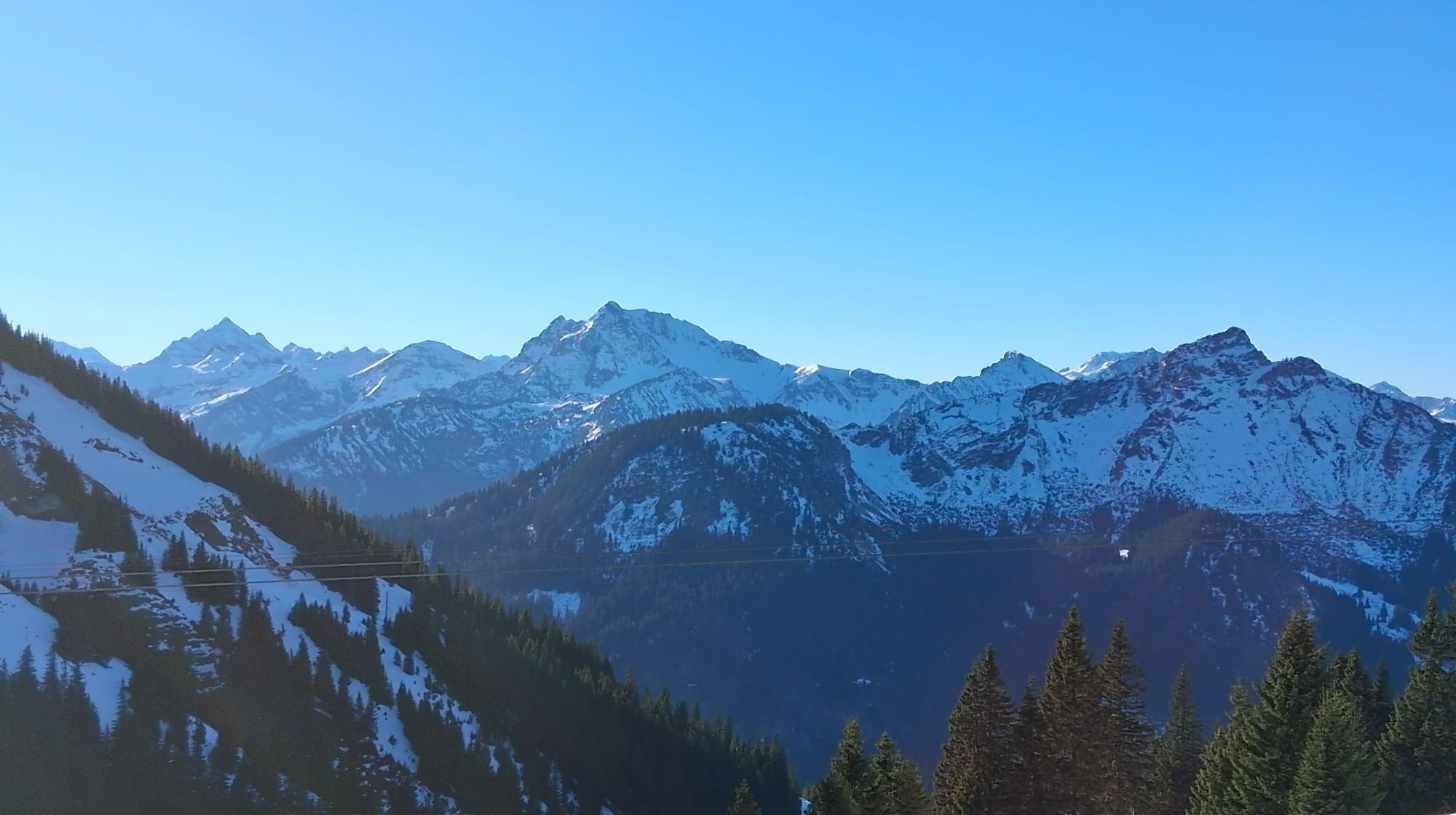
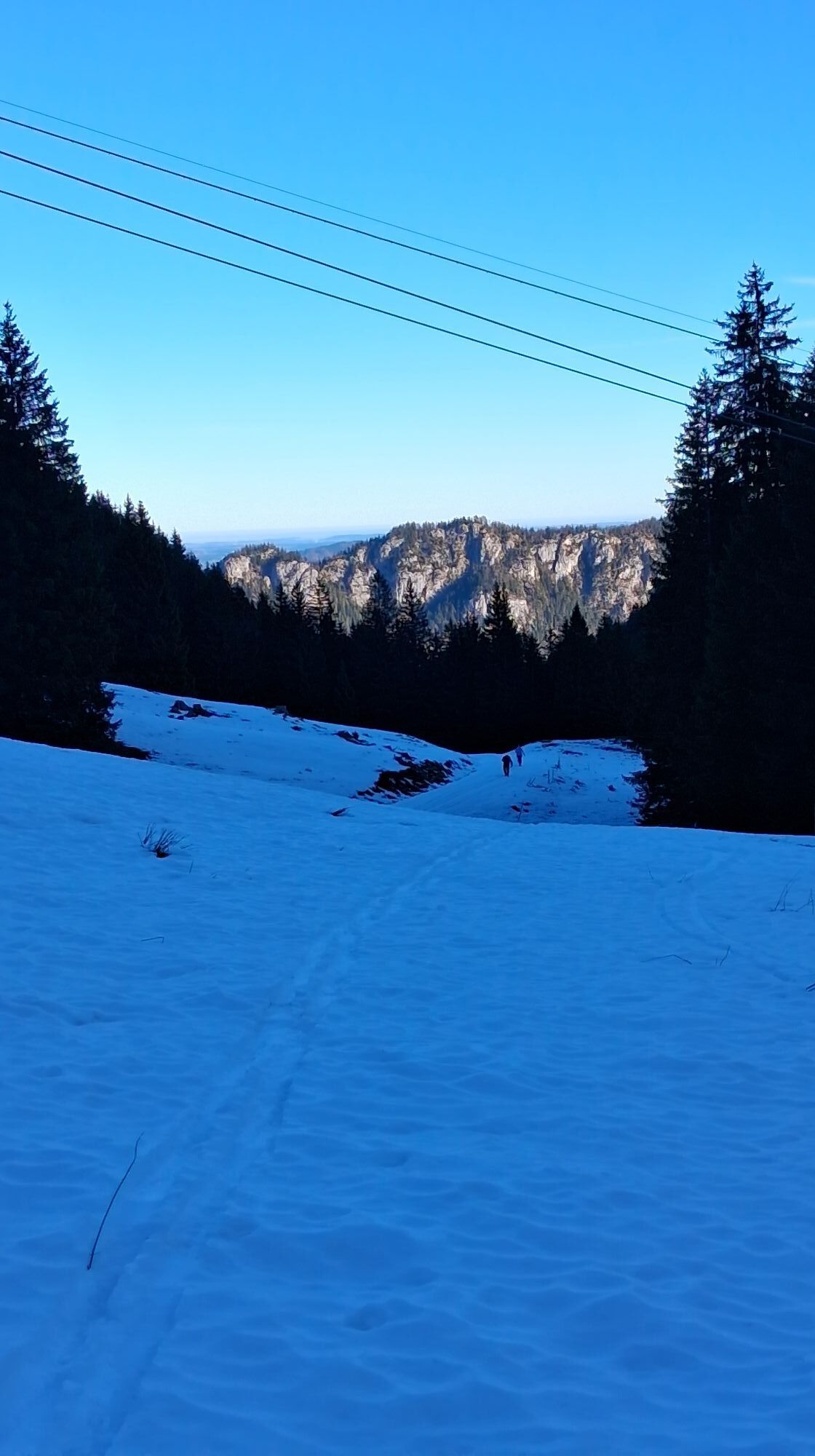
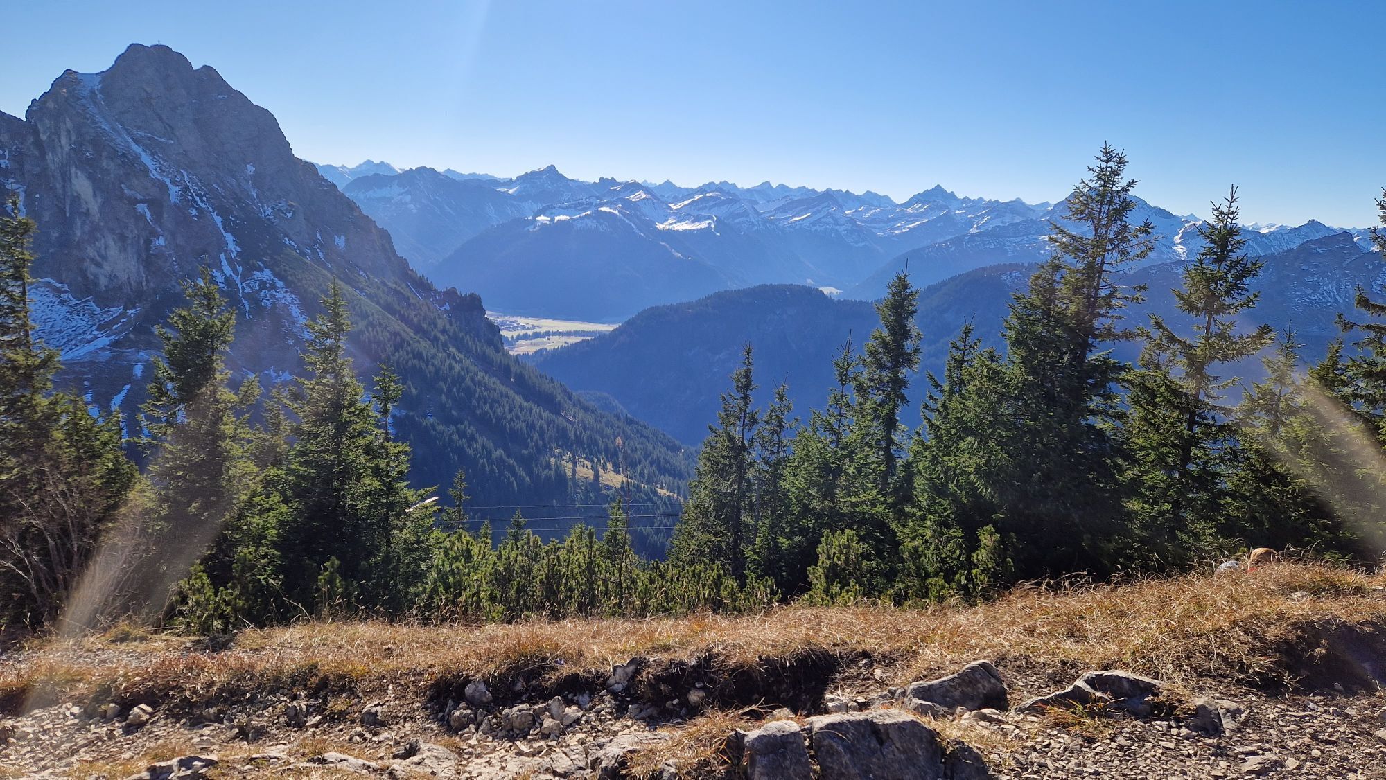
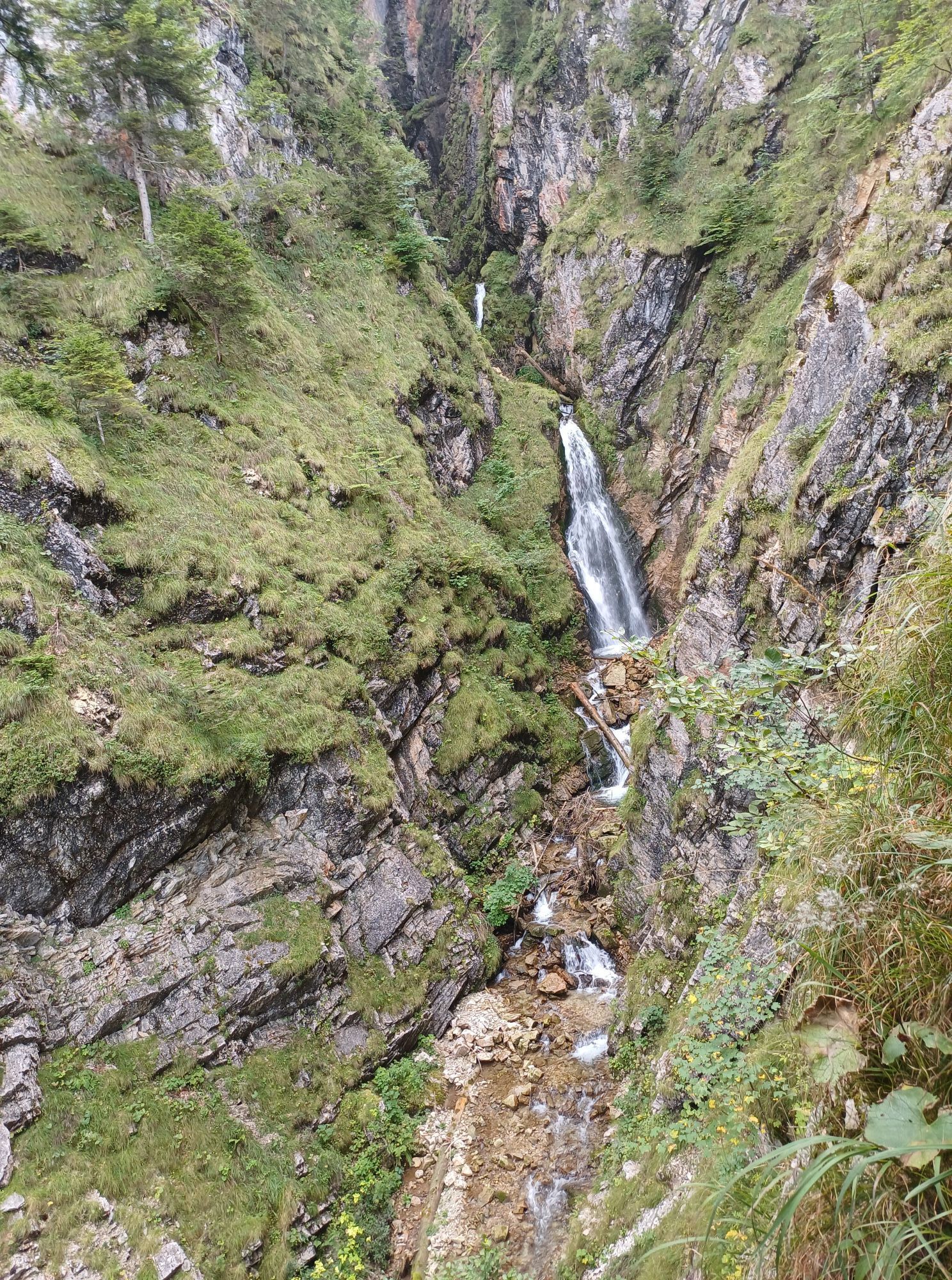
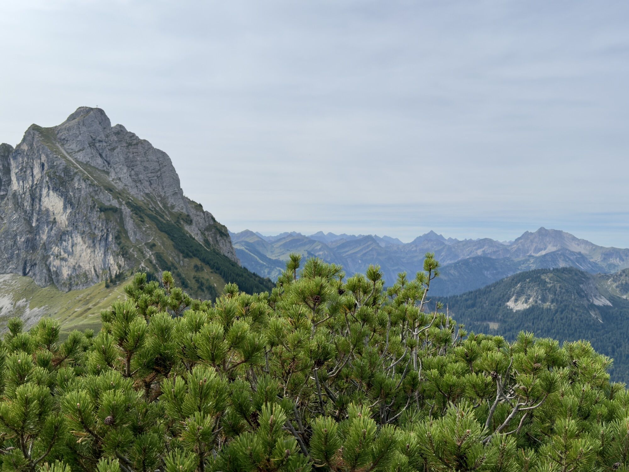
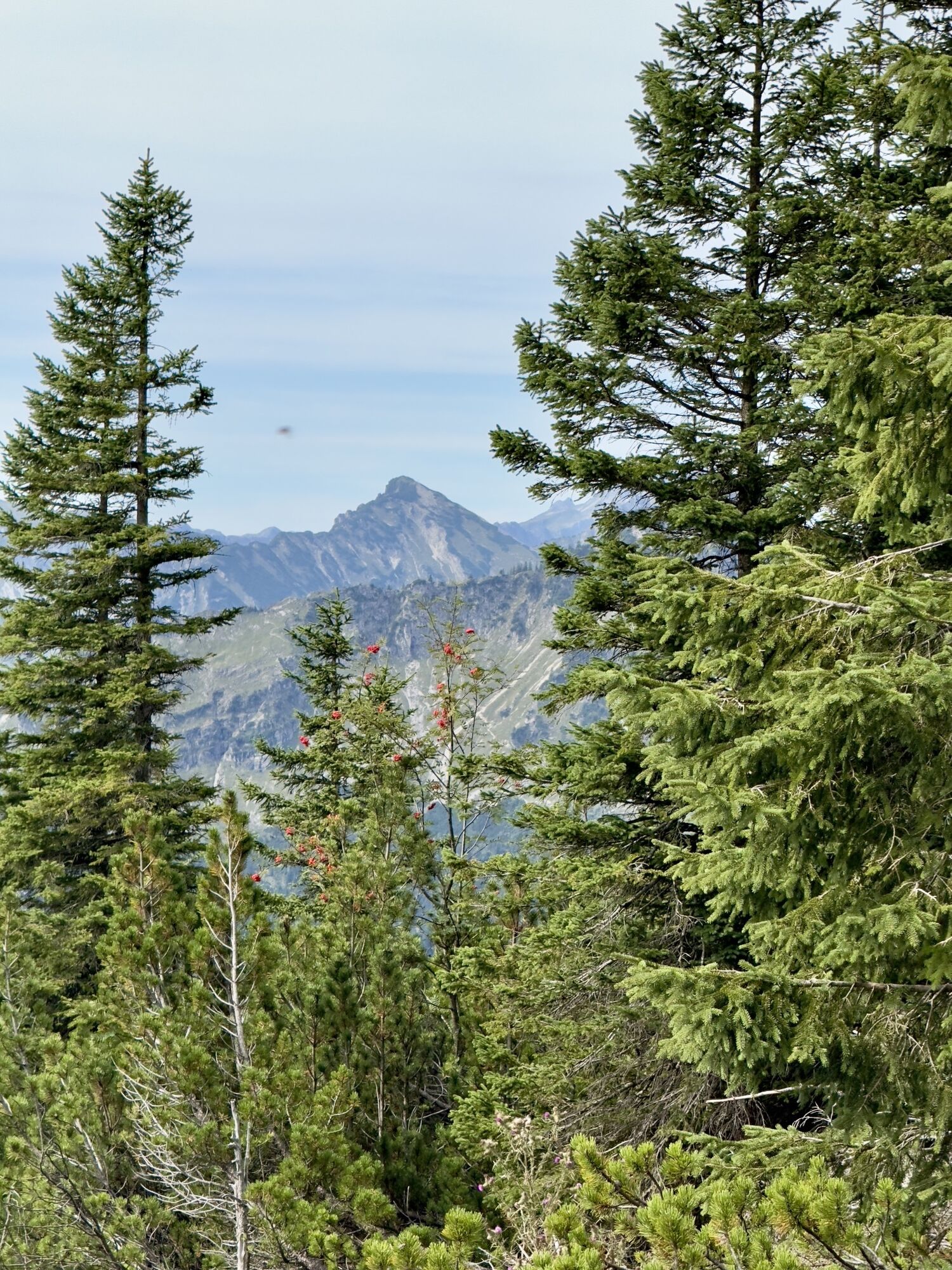
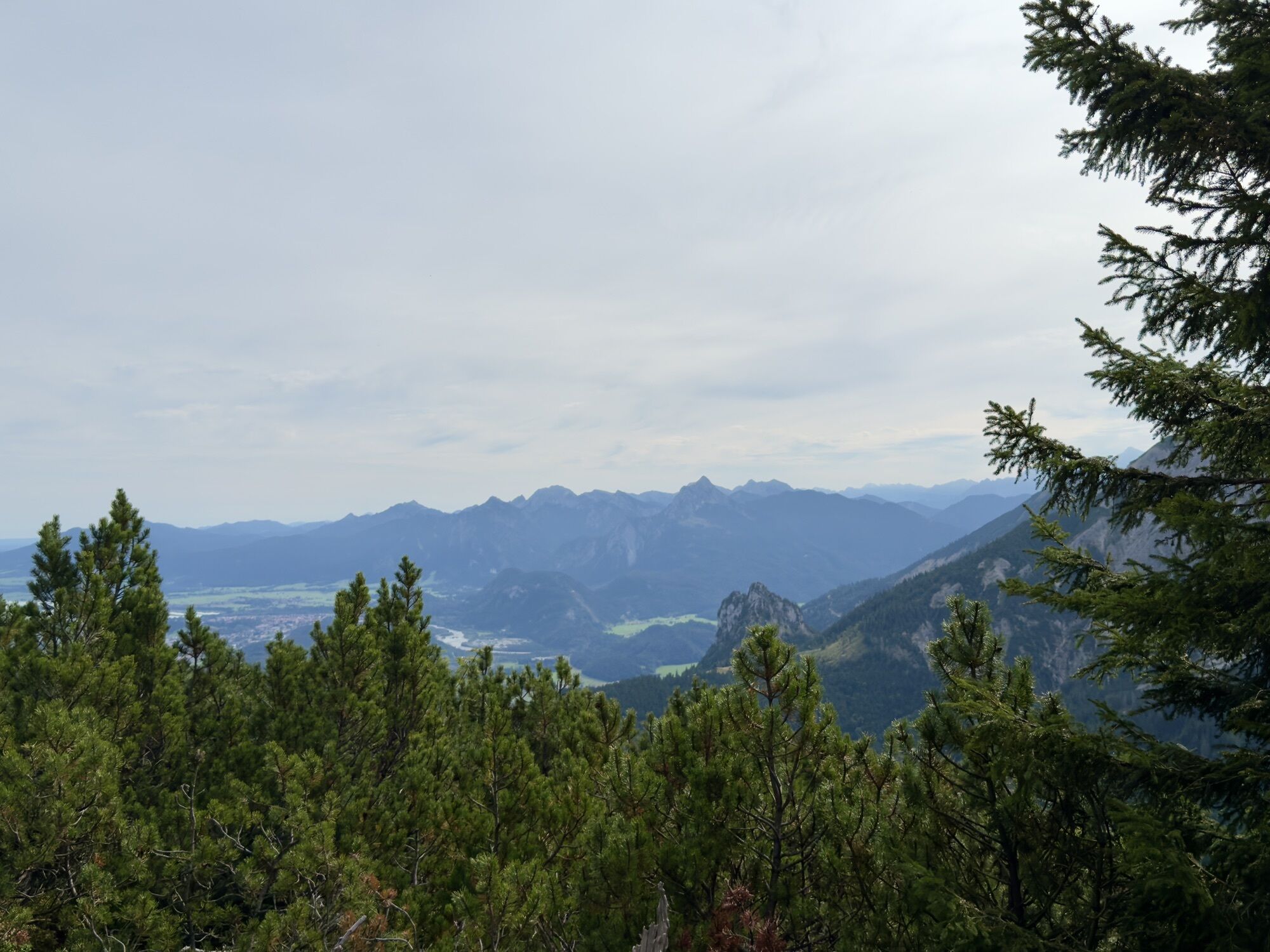
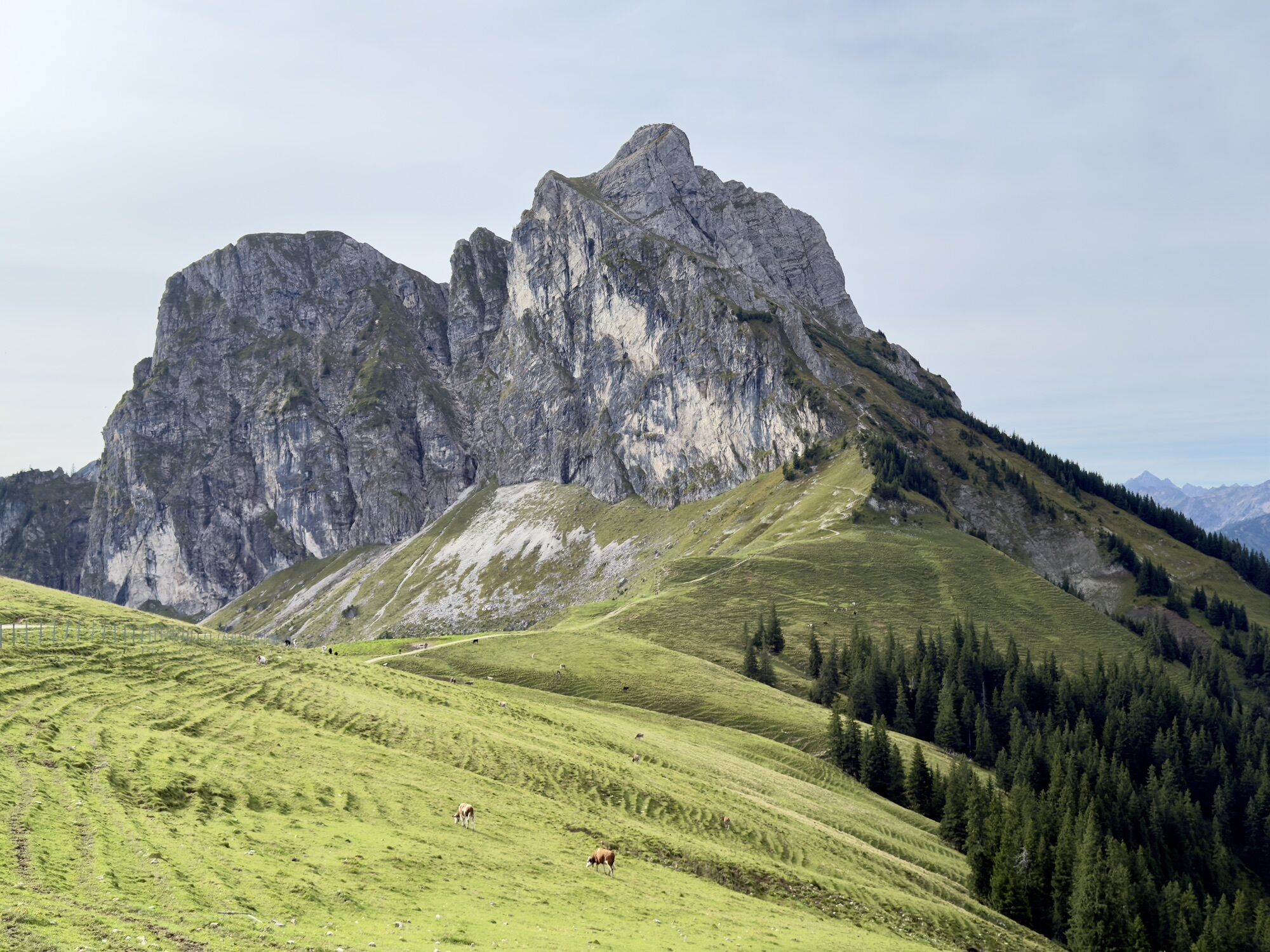
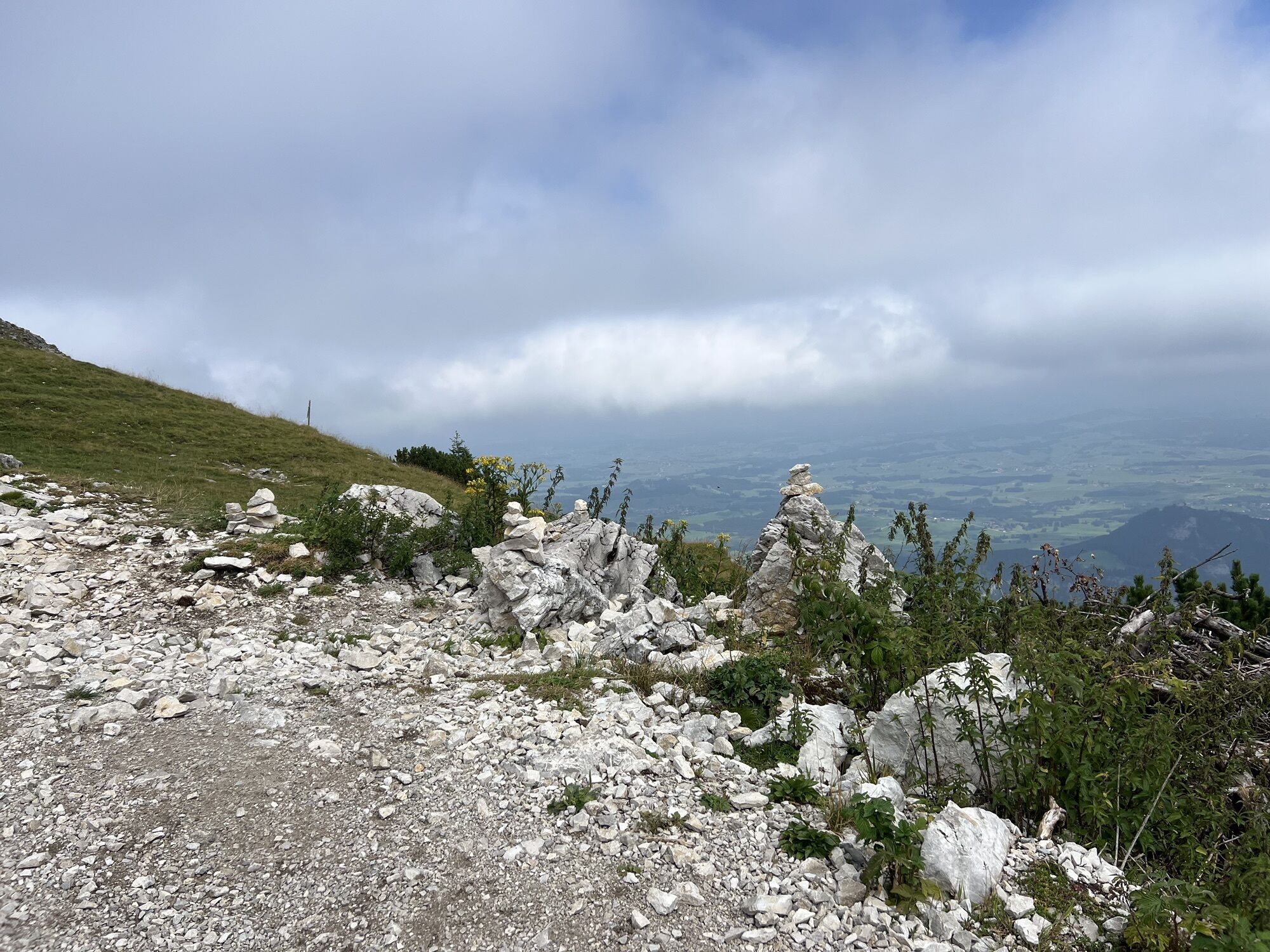
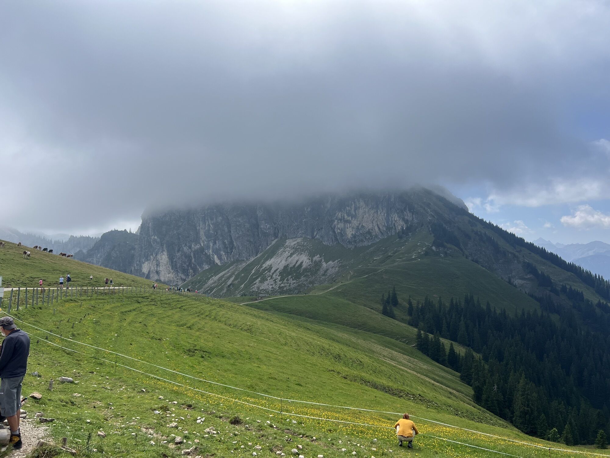
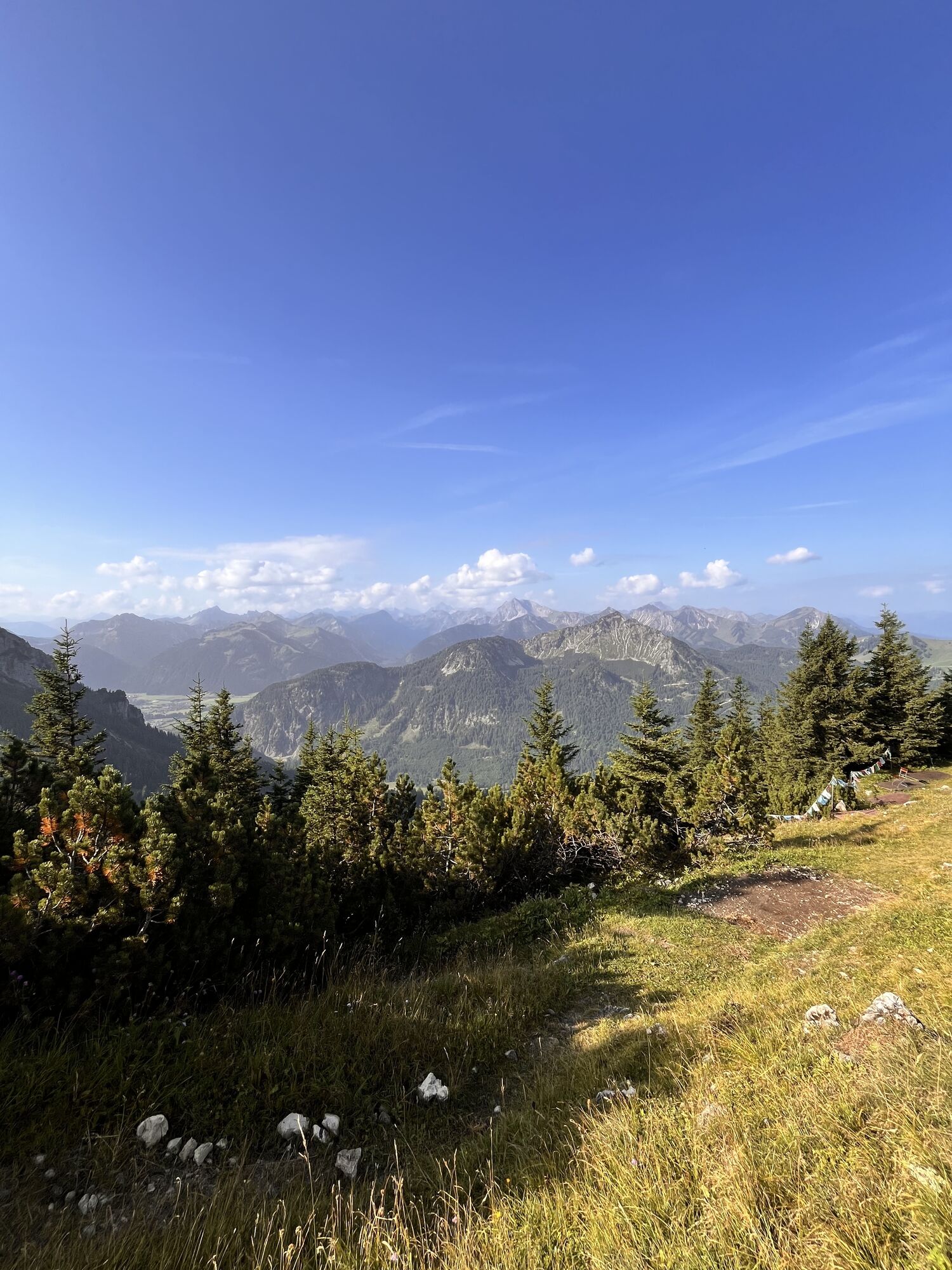
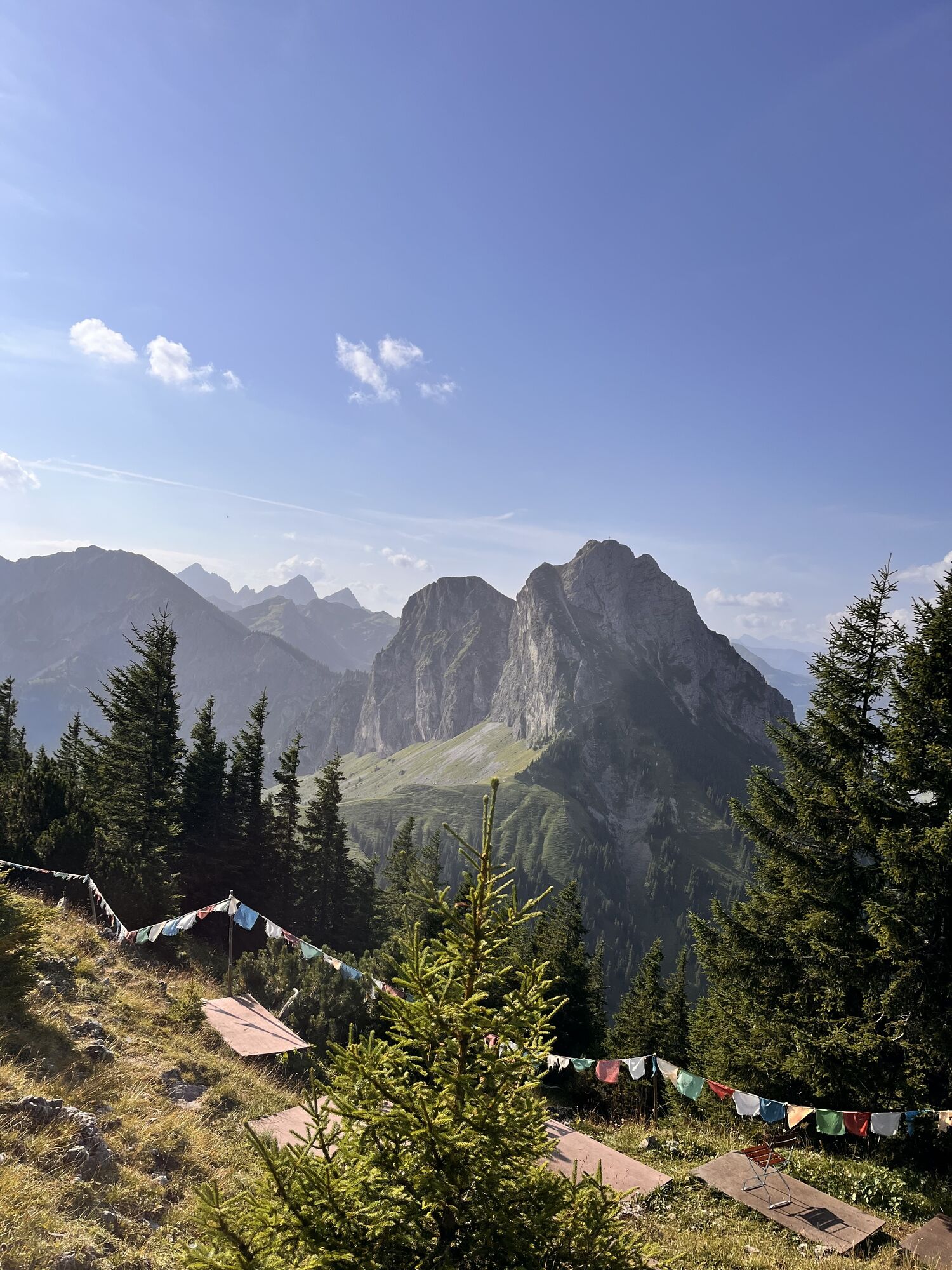
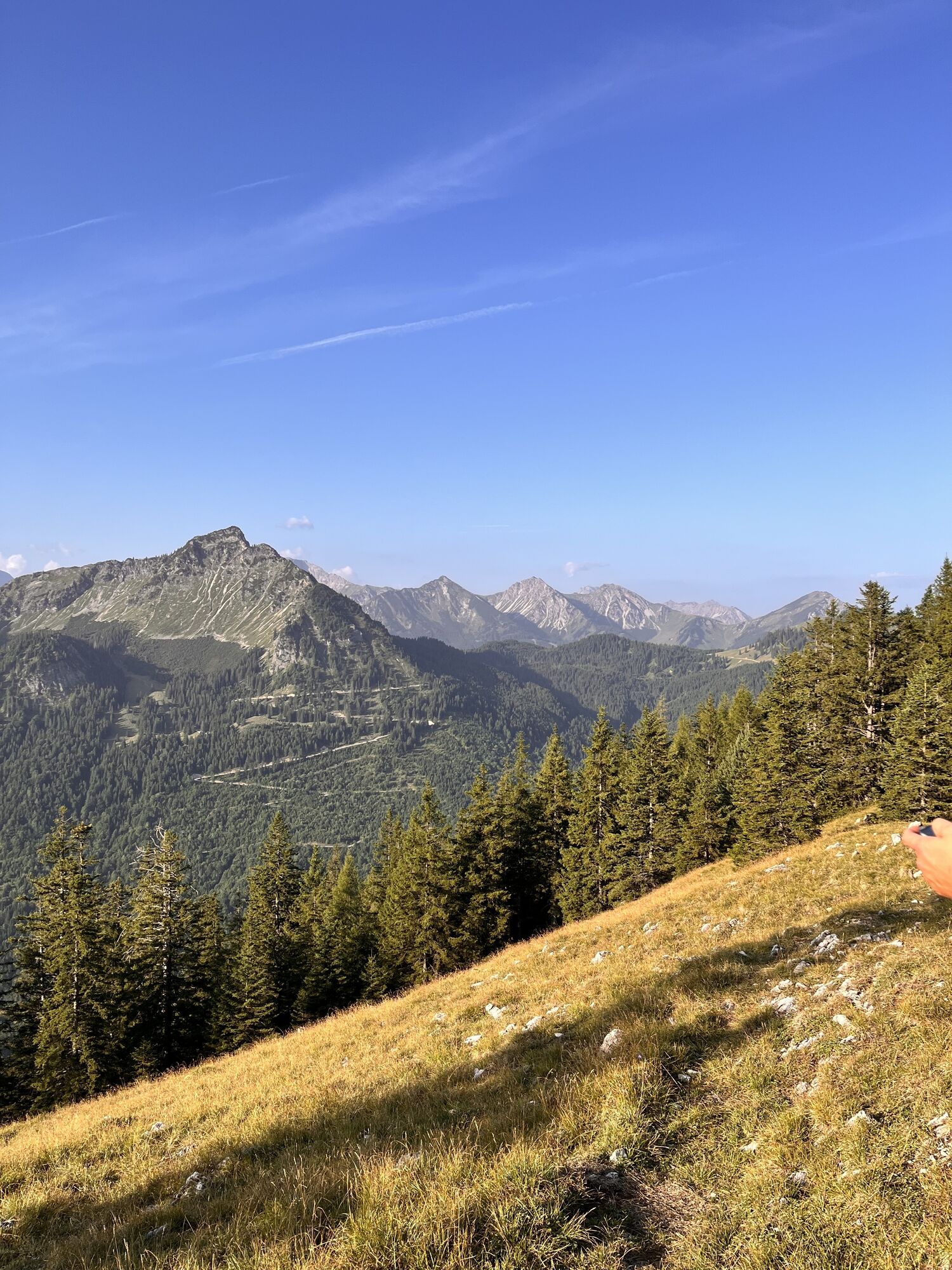
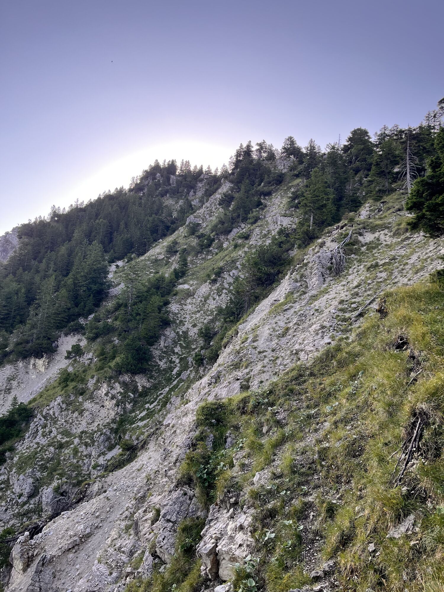

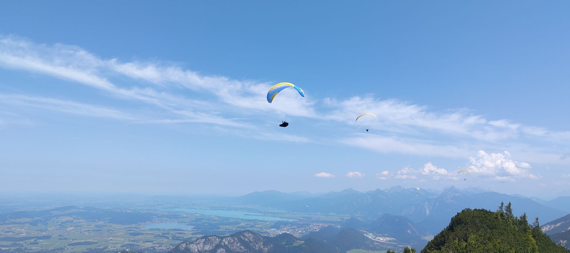
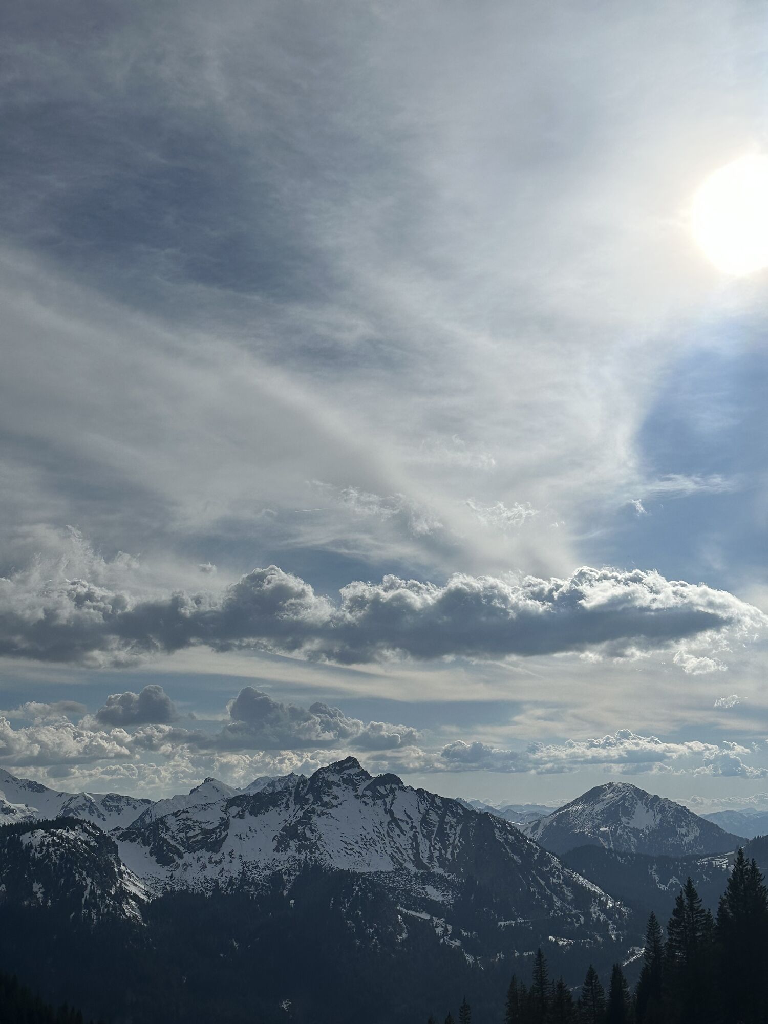
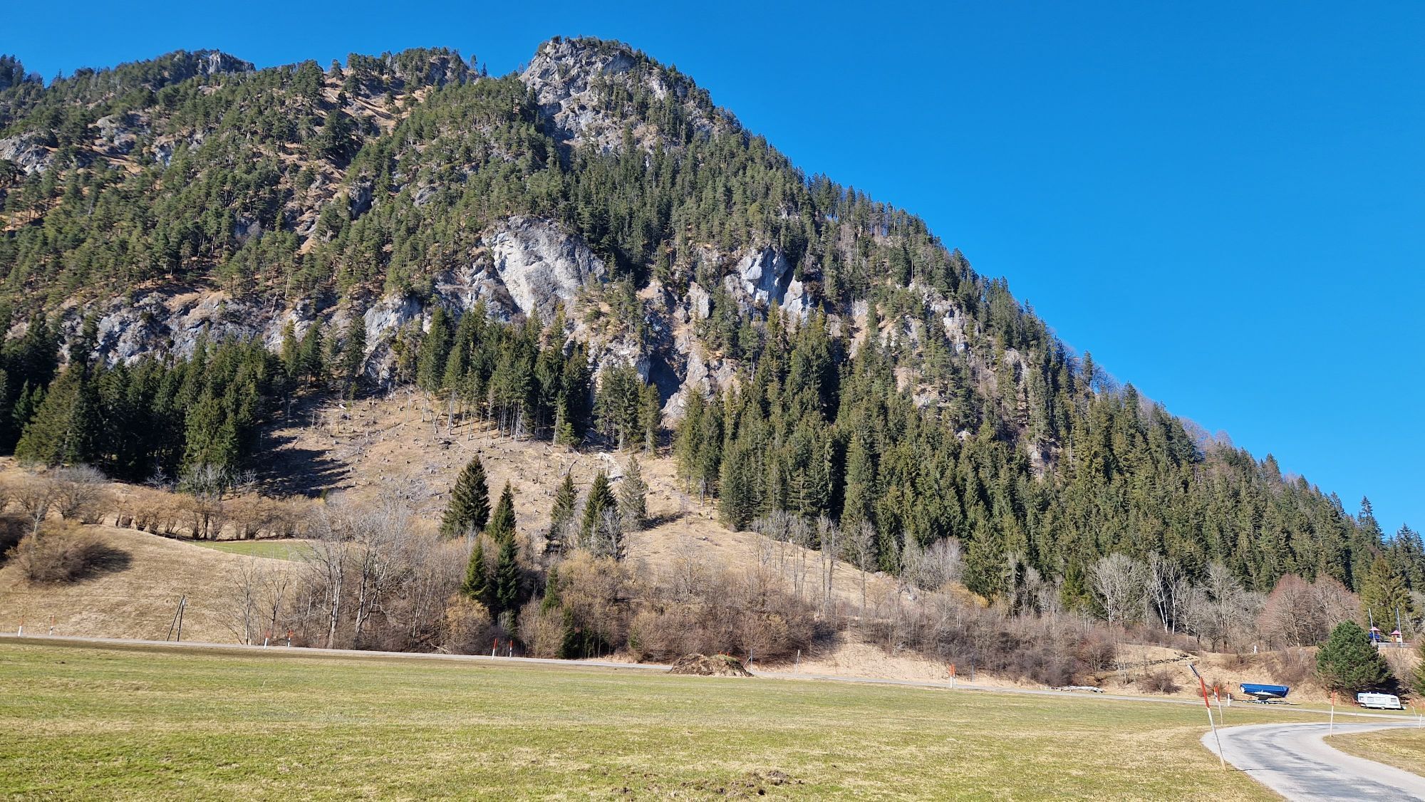
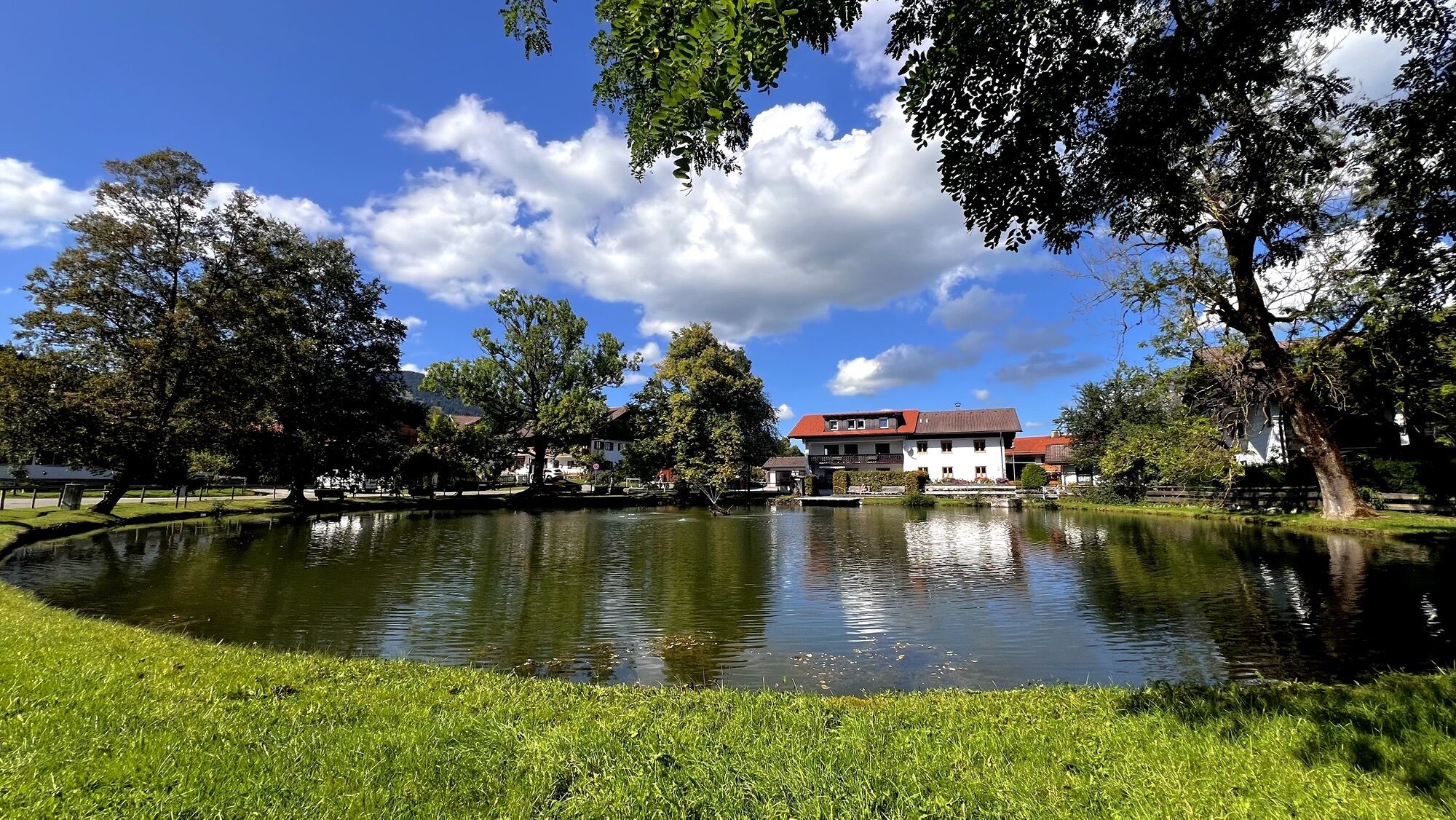
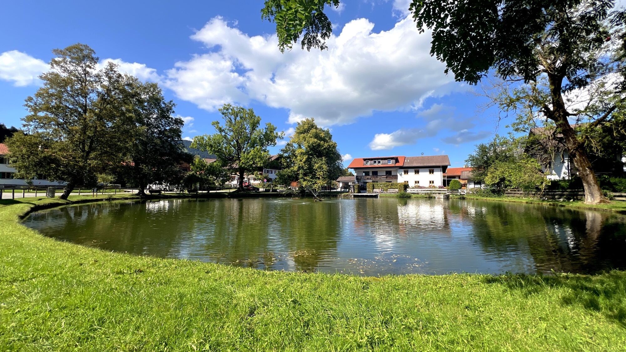
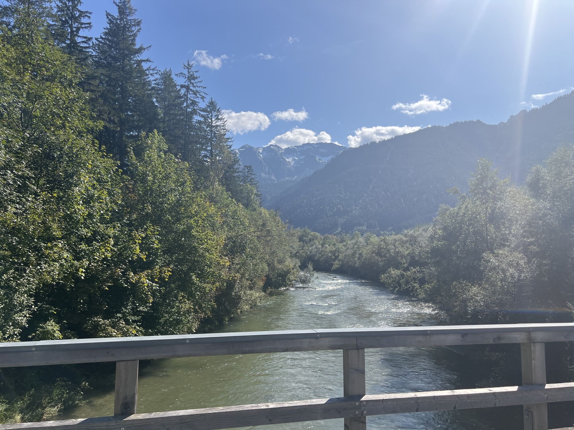
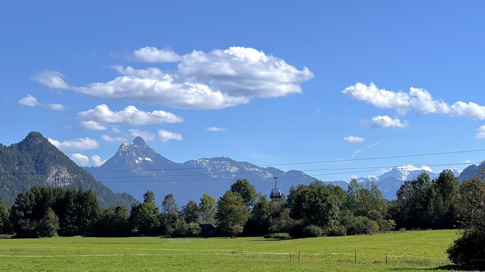
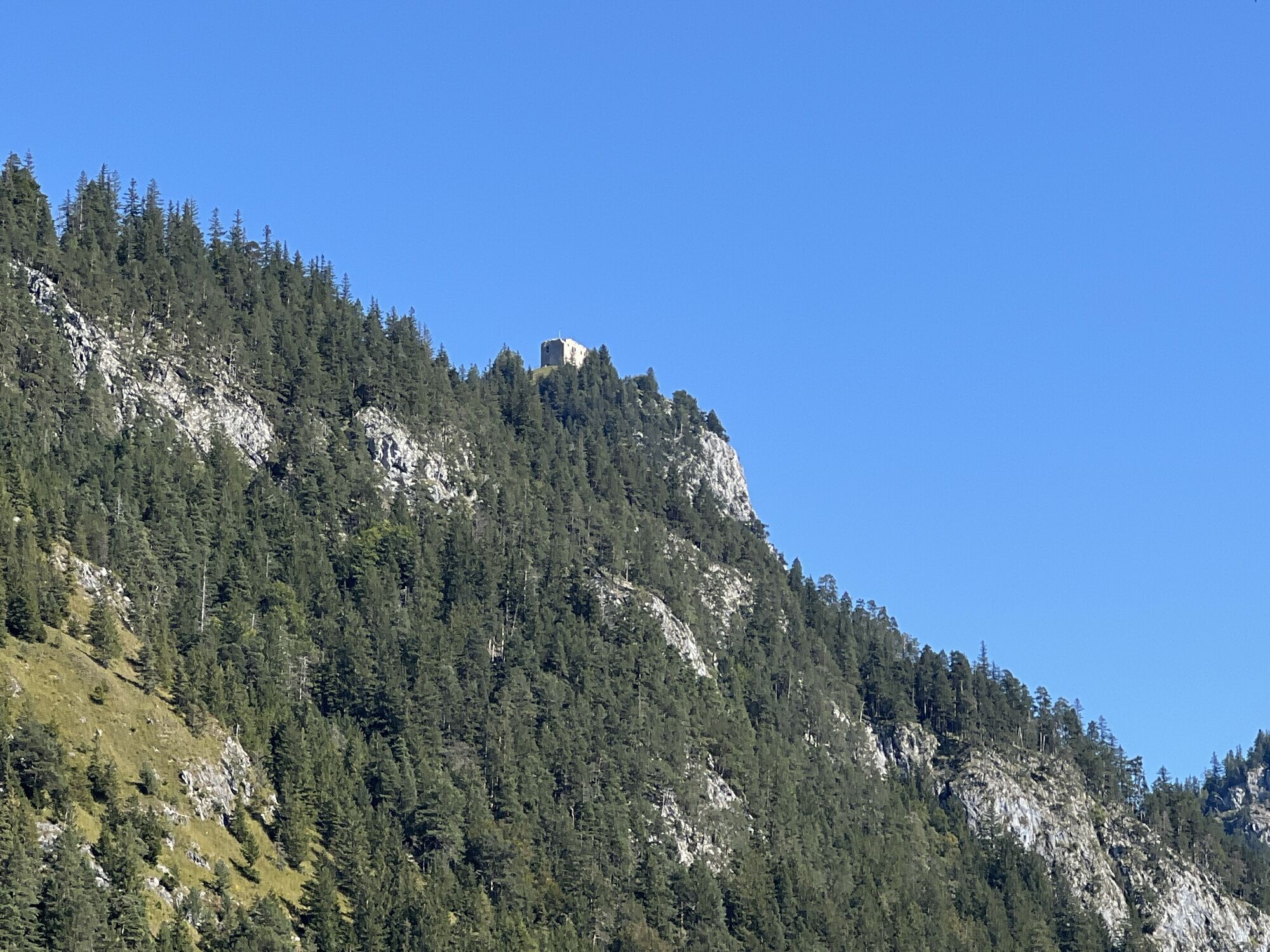

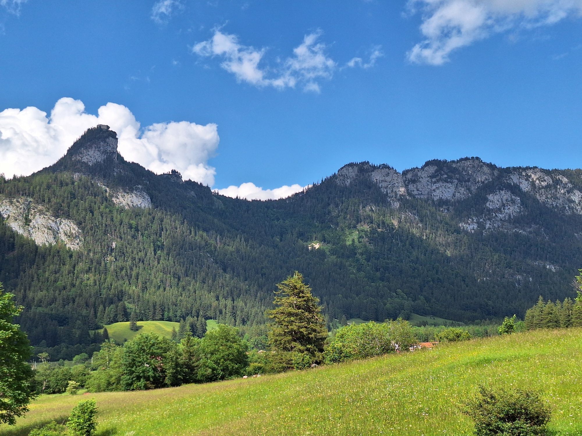
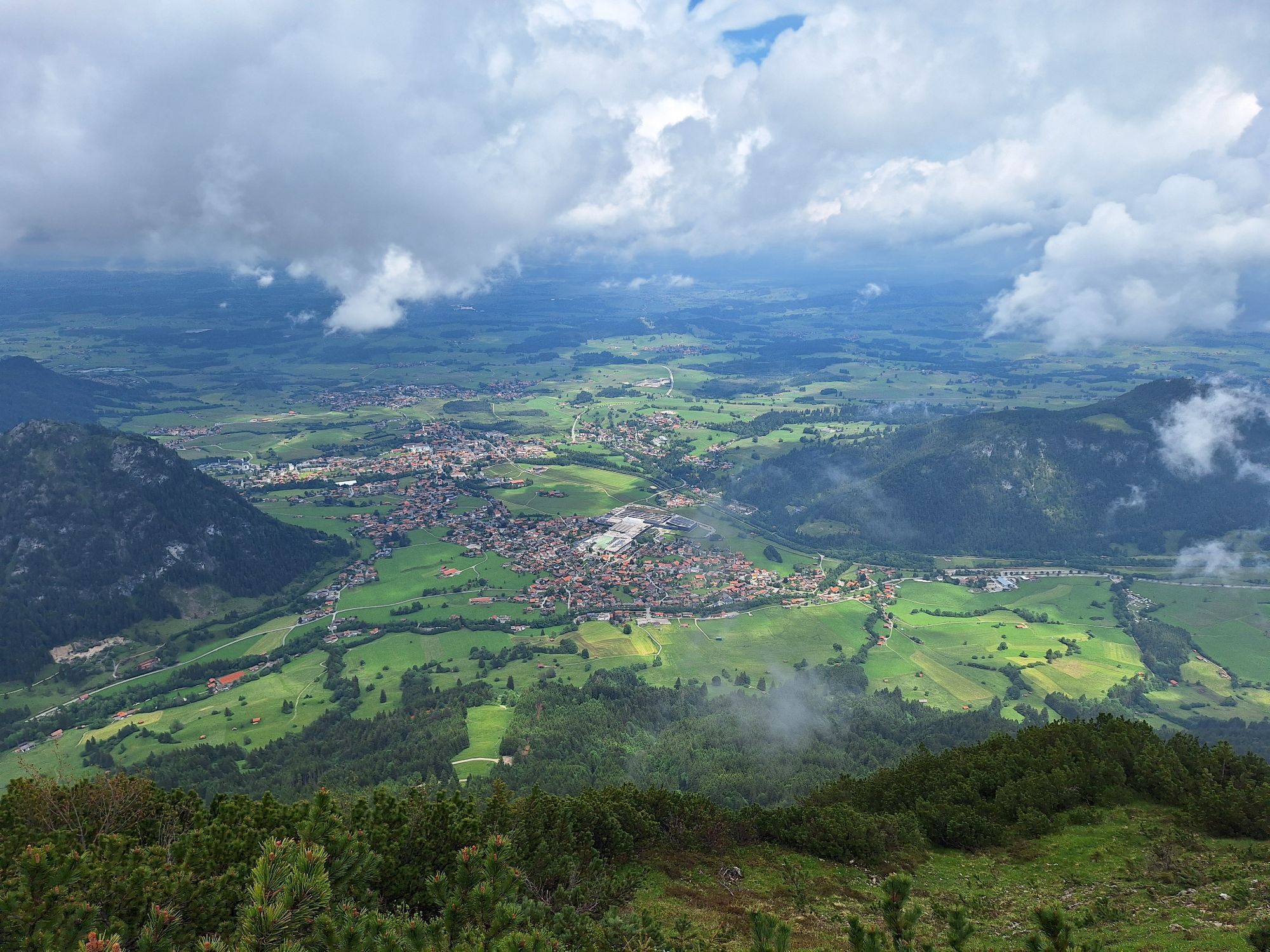
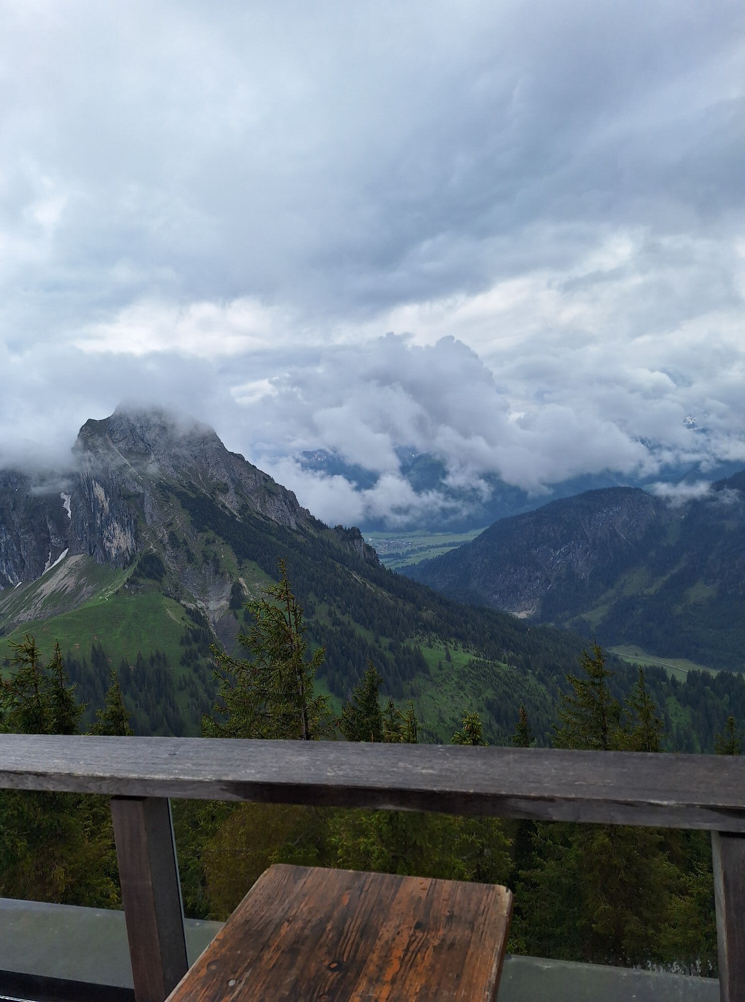

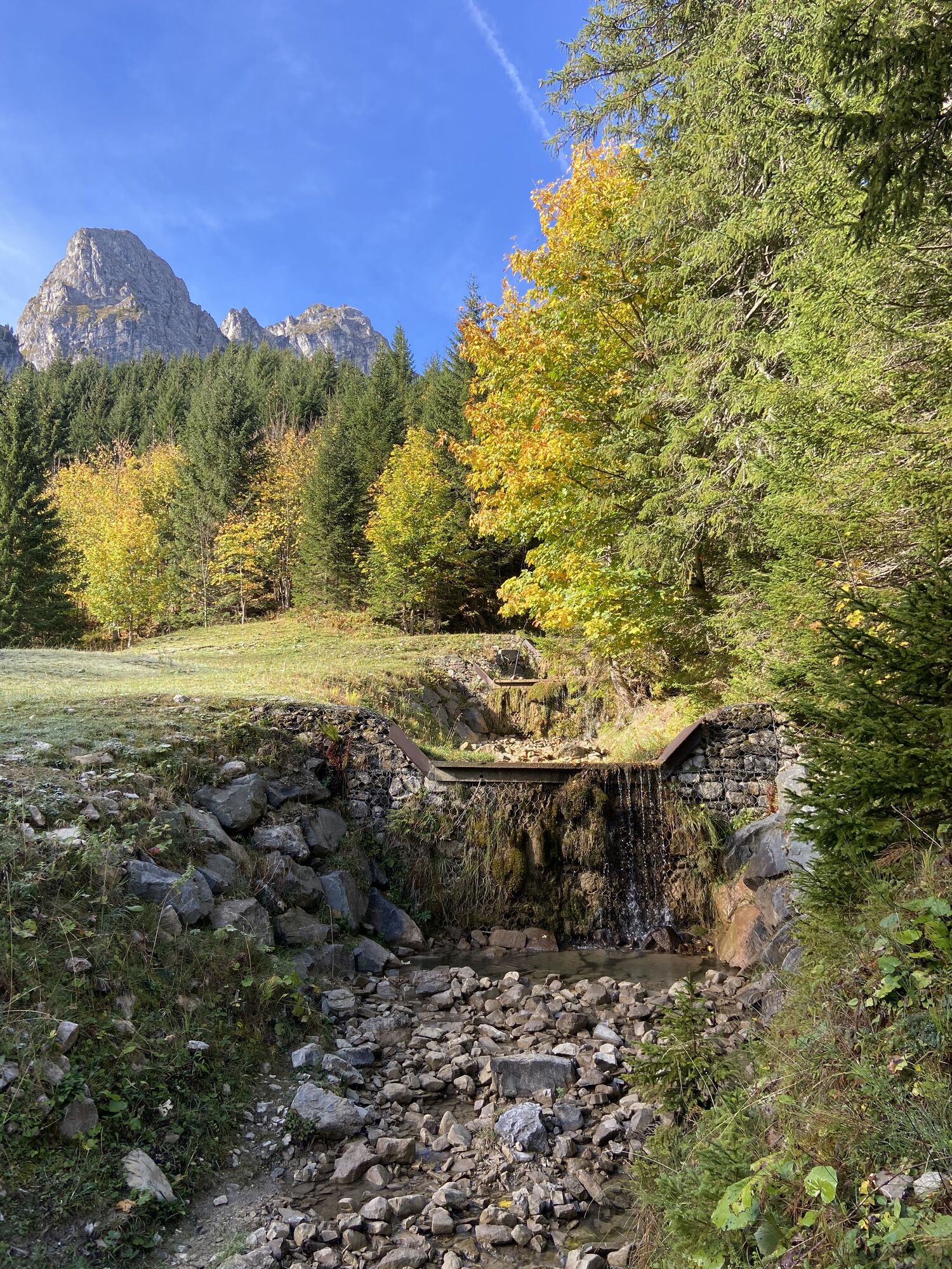

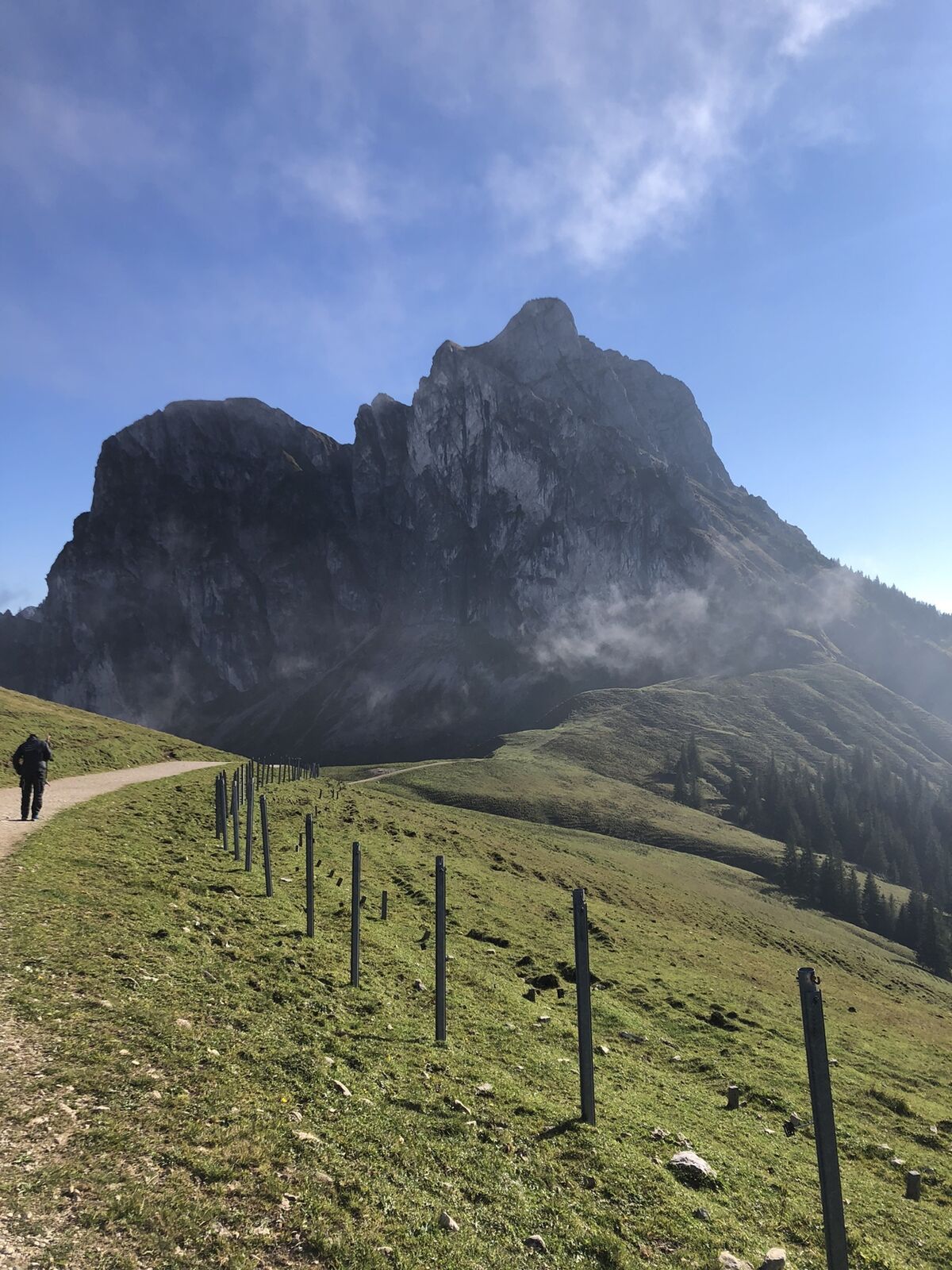
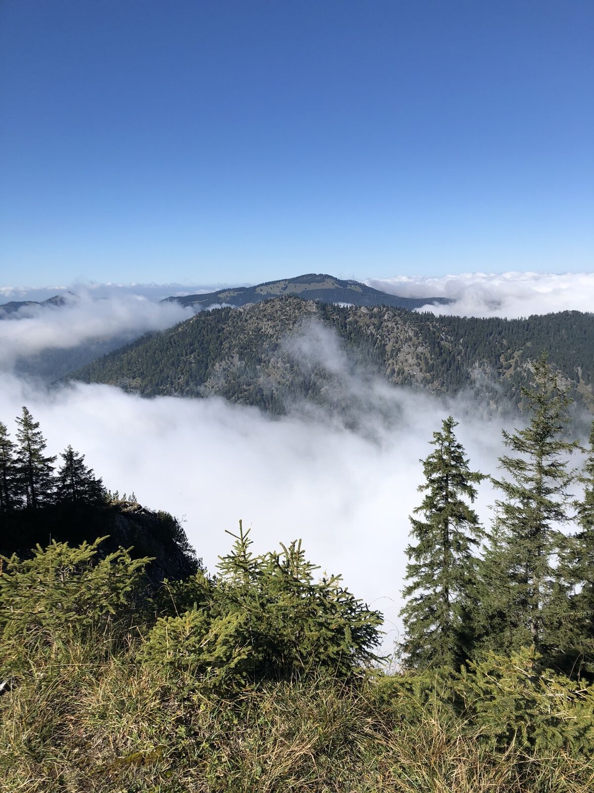
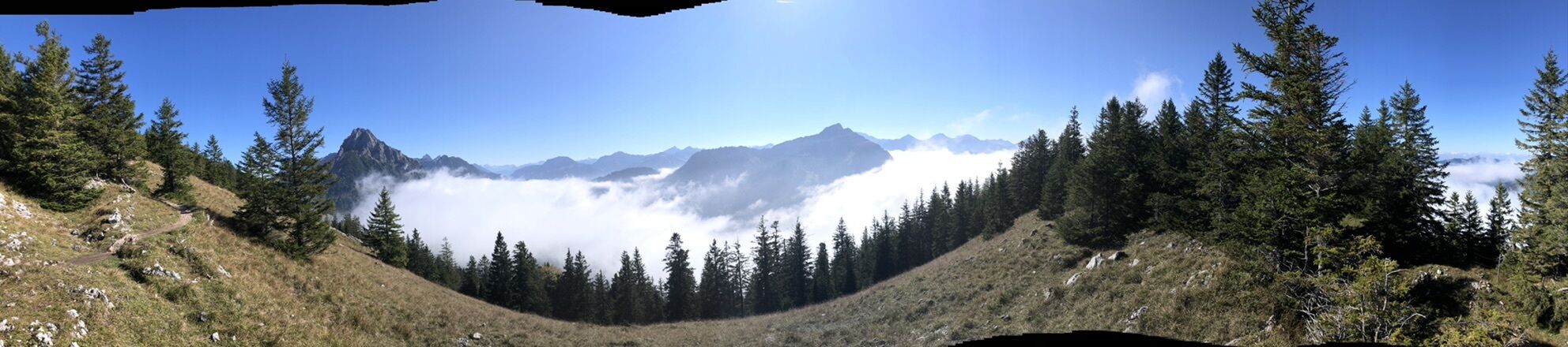
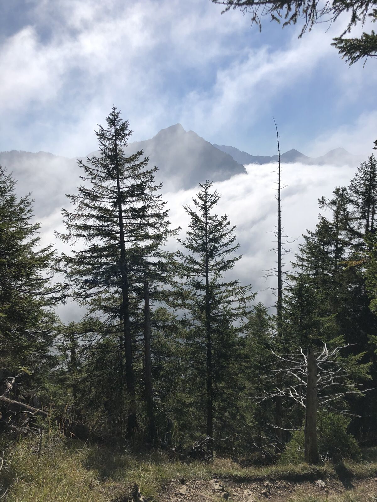
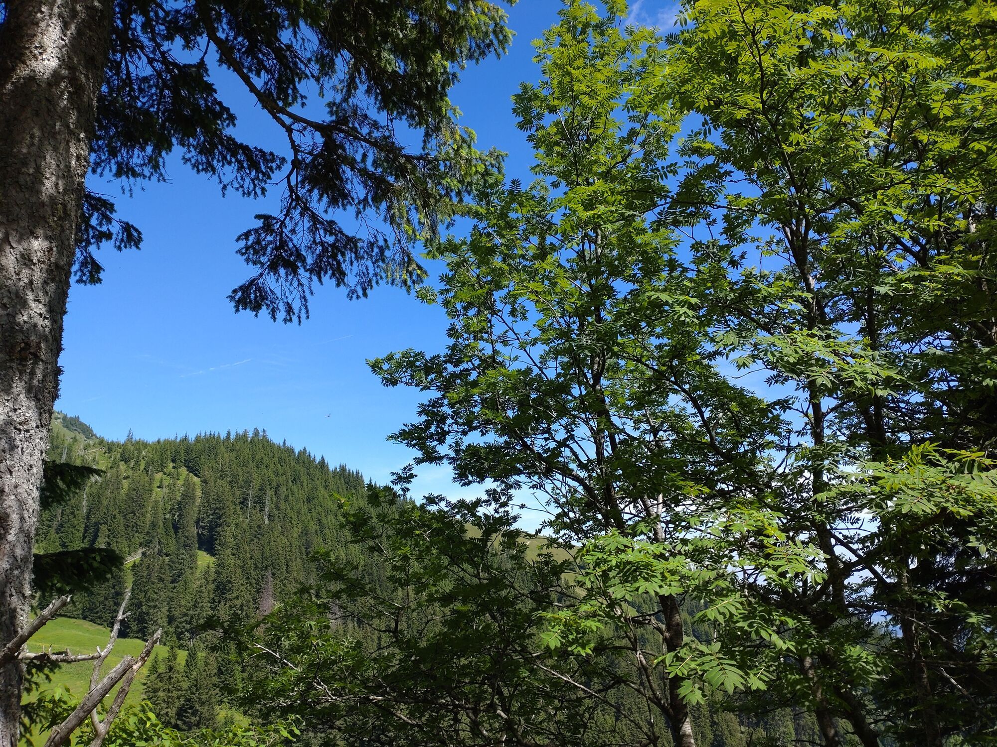
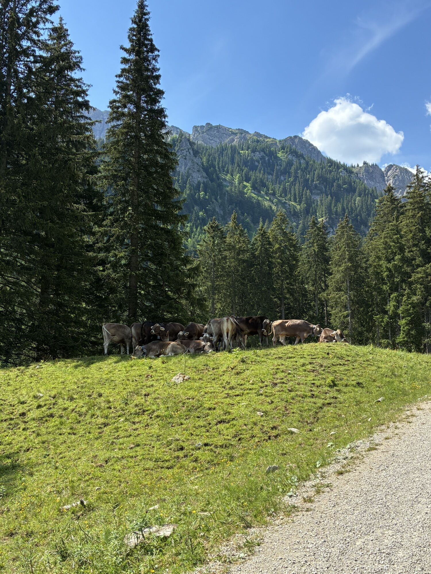
A varied path through the Reichenbach Gorge, accompanied by the rushing of the waterfall between the rock crevices, leads partly over roots, partly over stones but always secured upwards, where a magnificent...
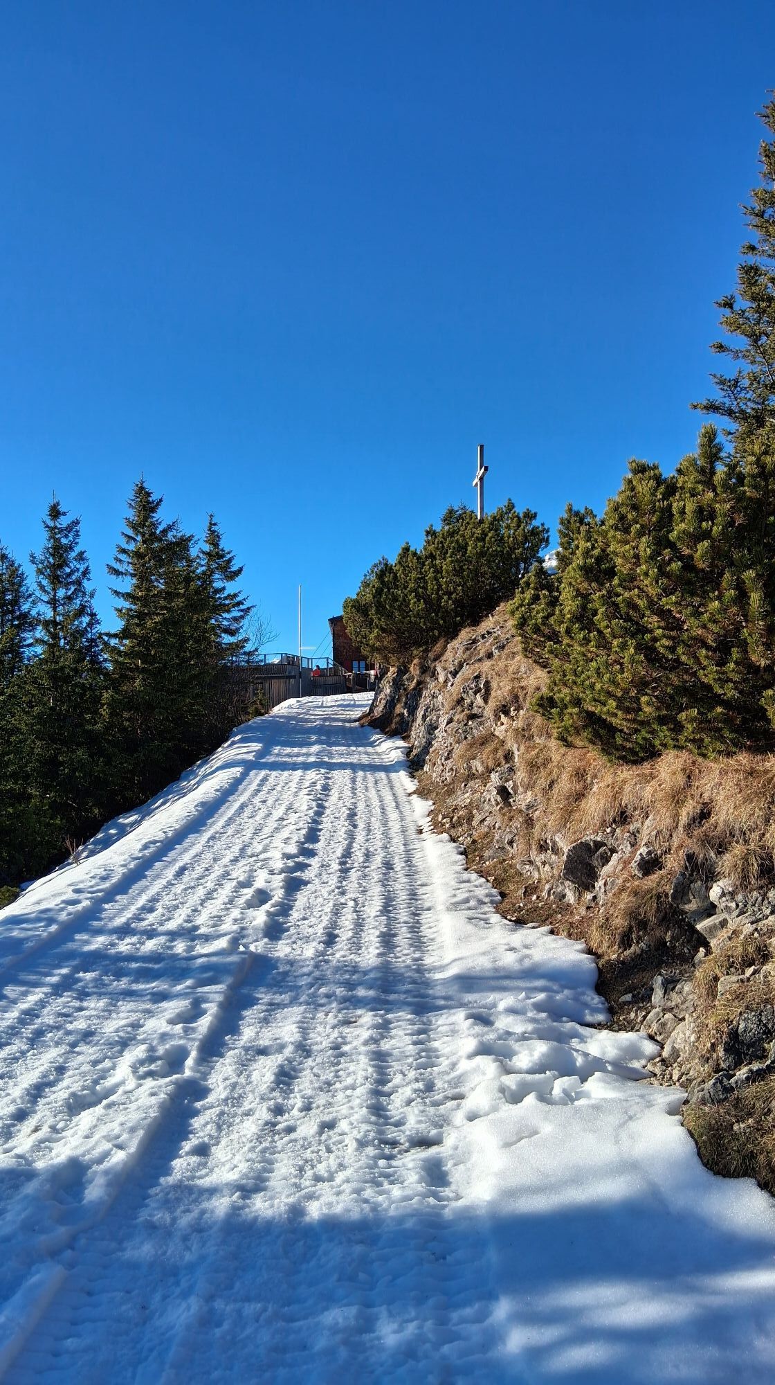
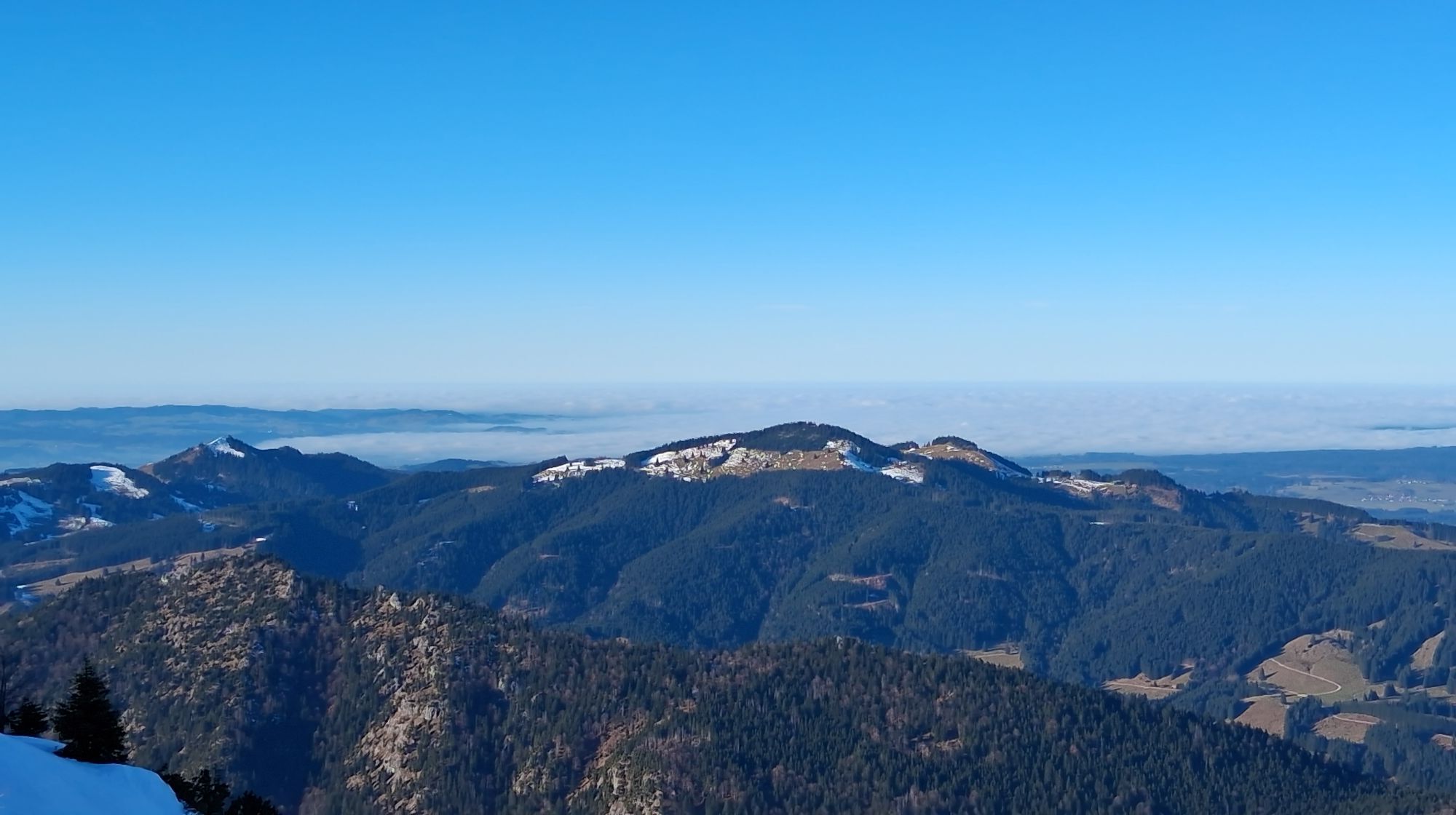
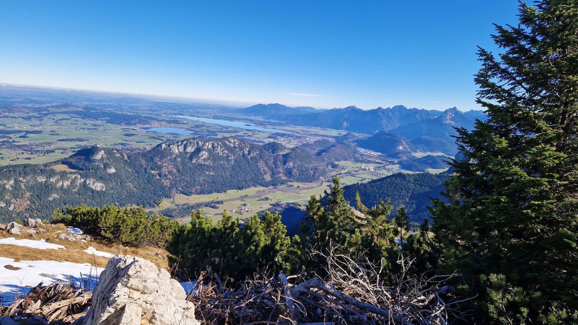
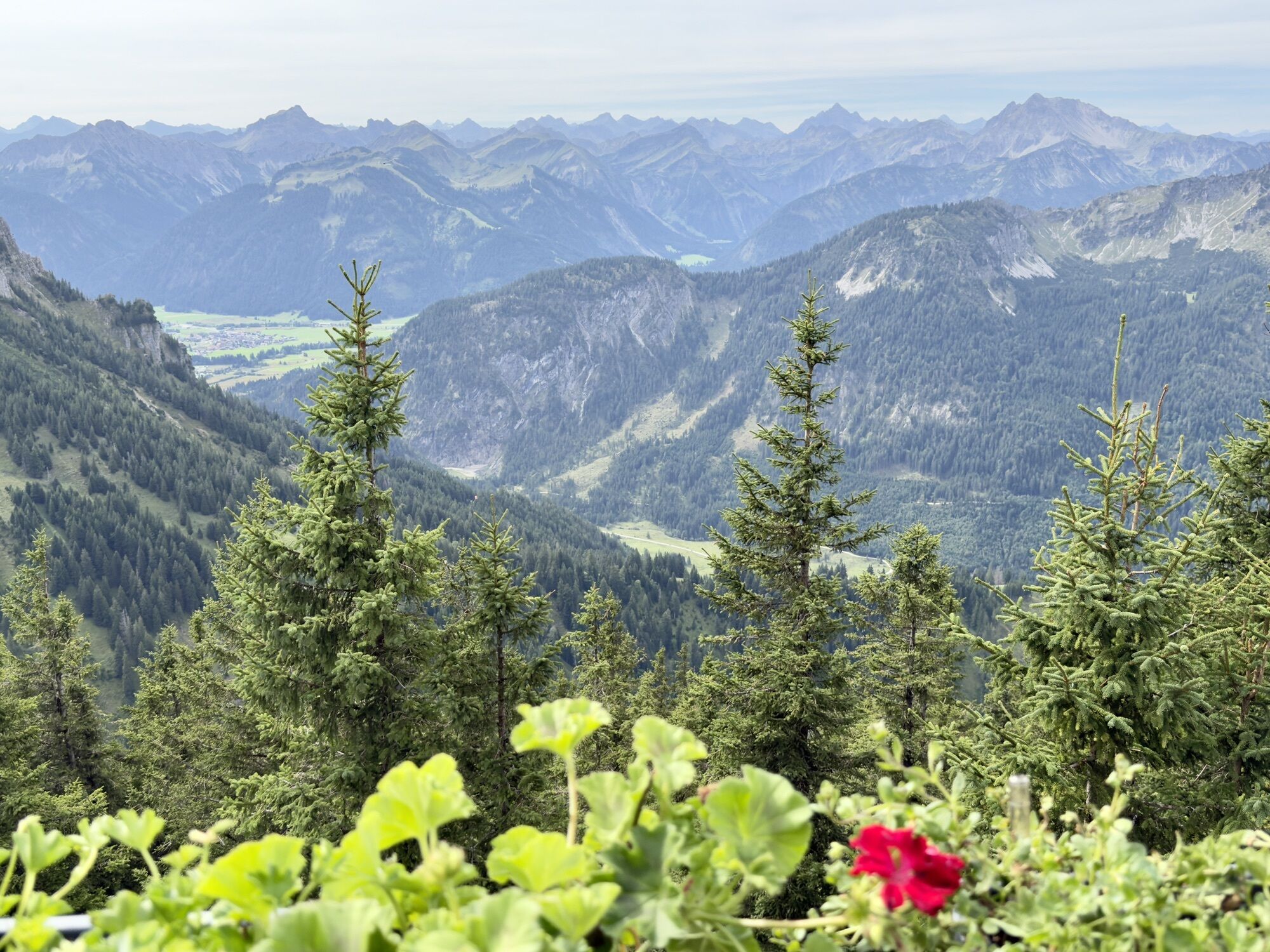
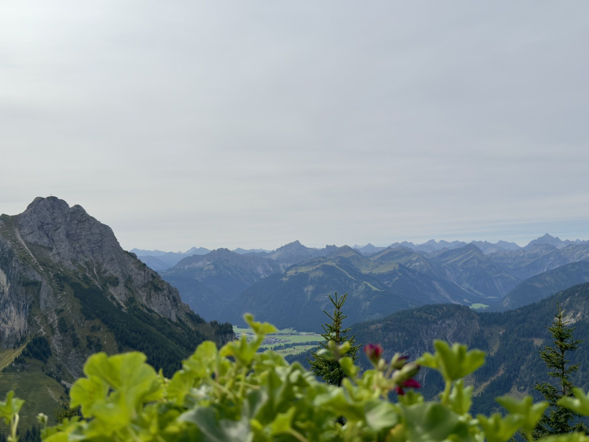
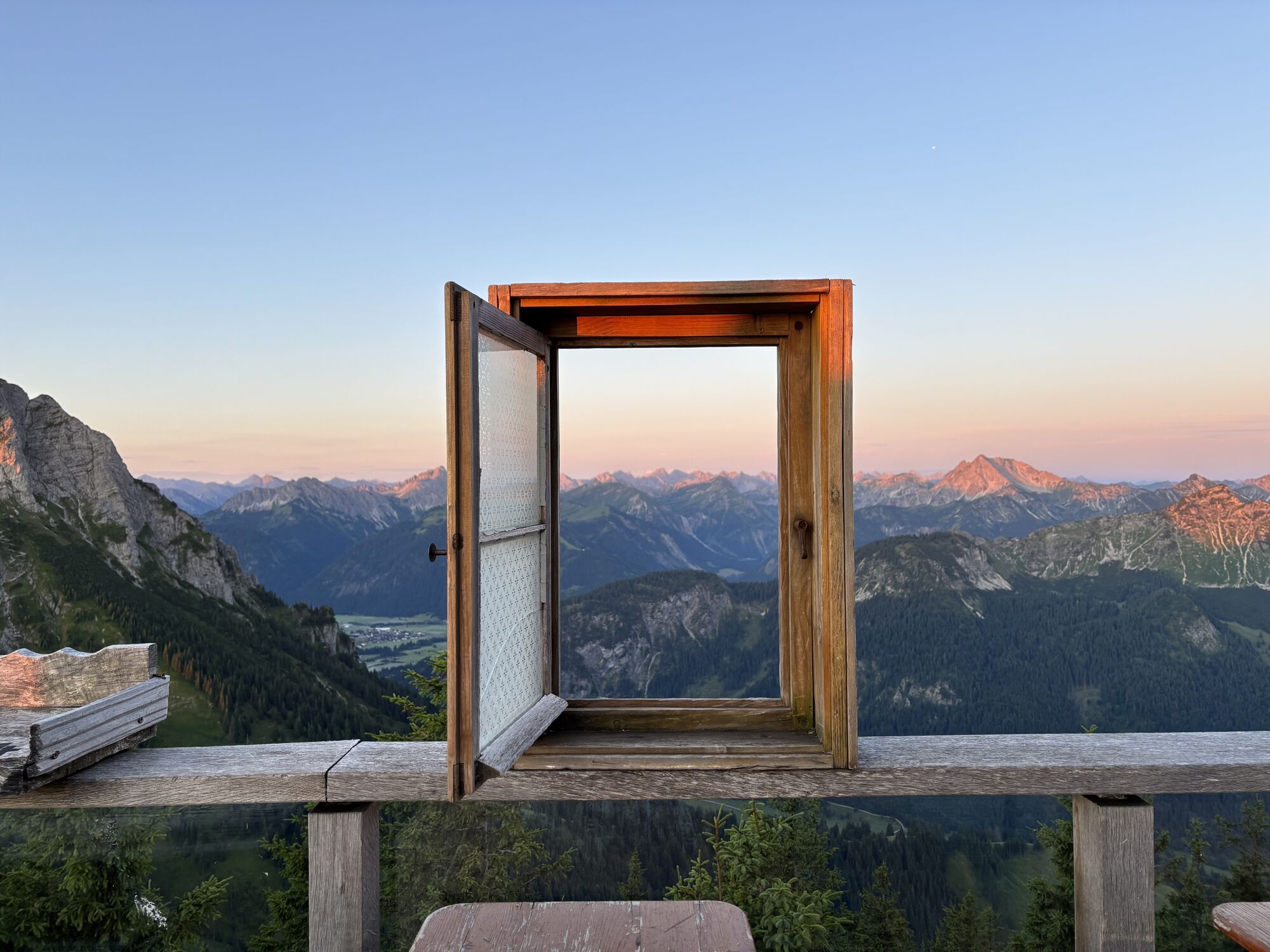
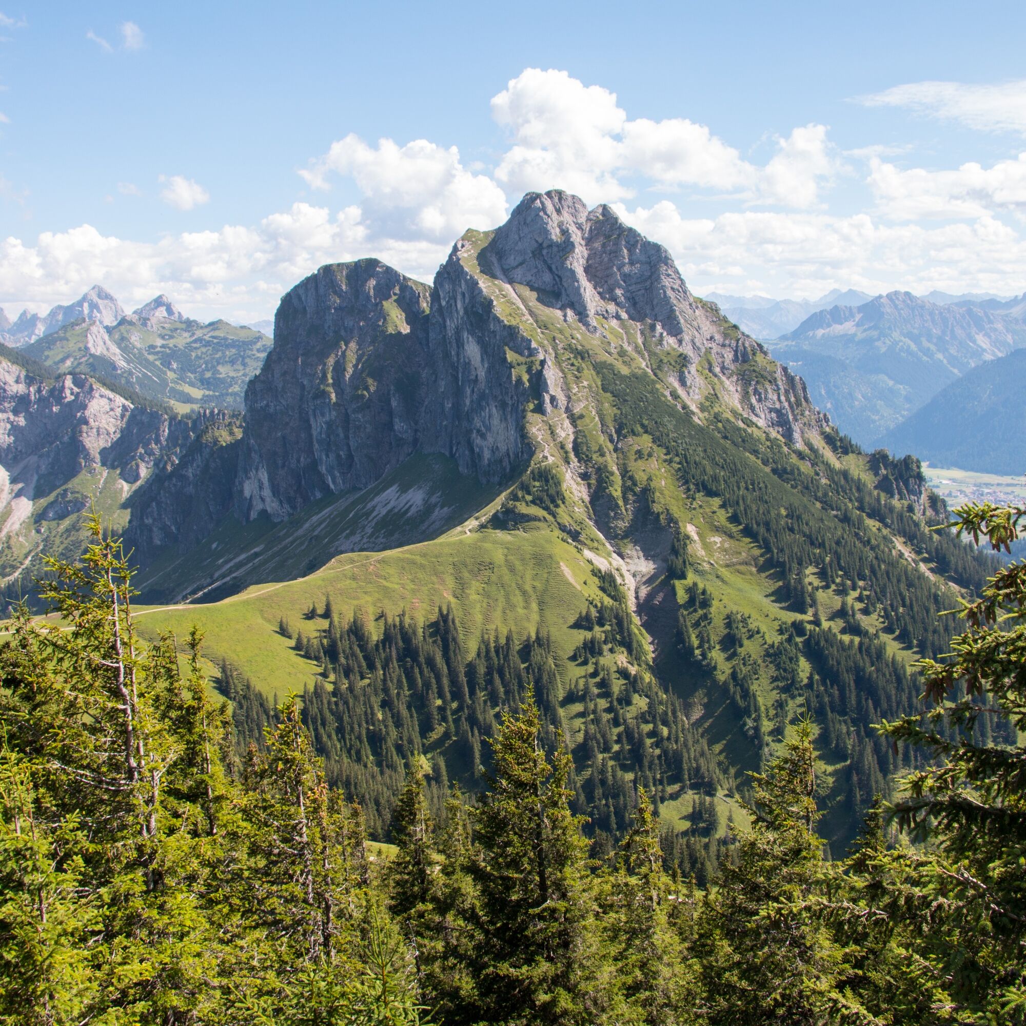
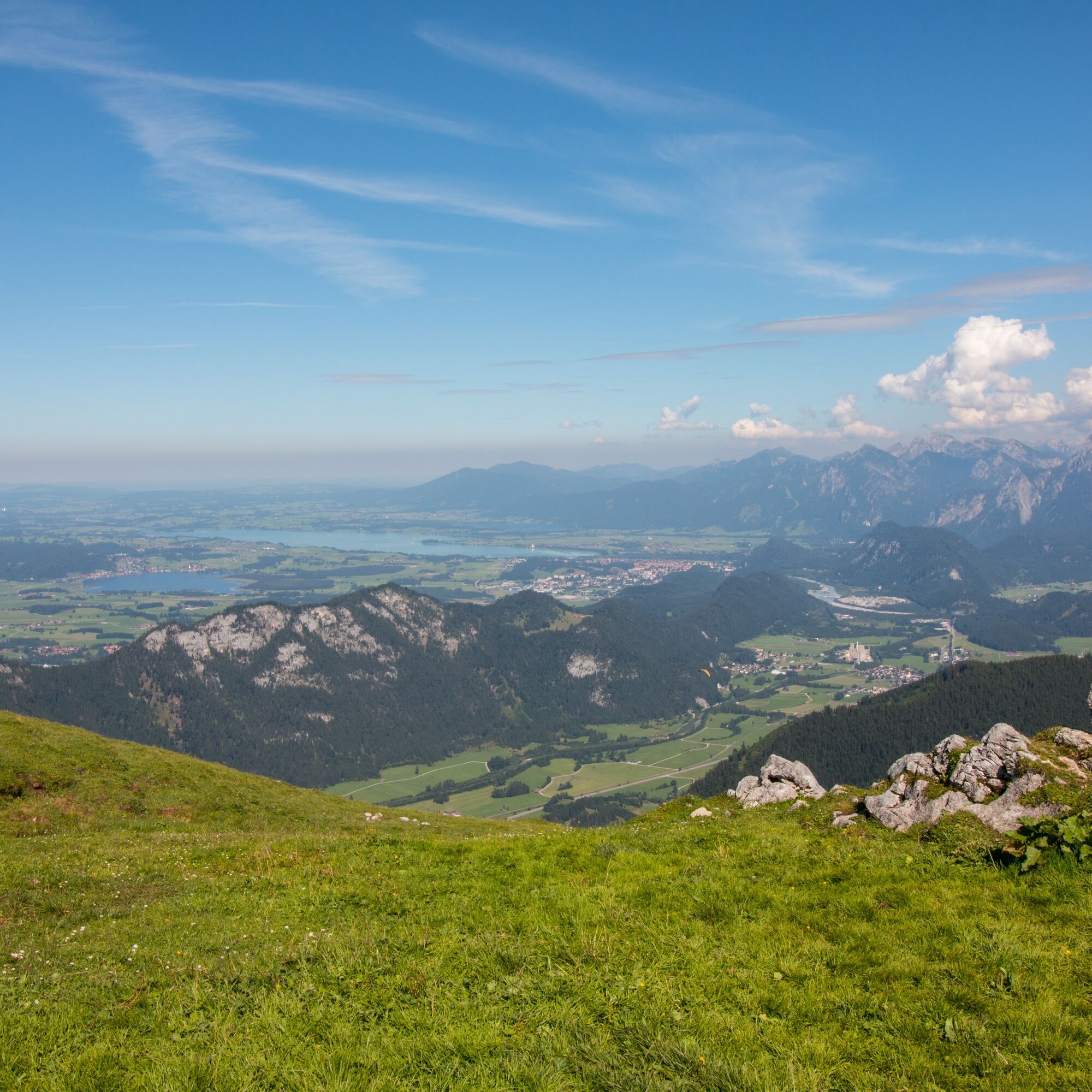
A varied path through the Reichenbach Gorge, accompanied by the rushing of the waterfall between the rock crevices, leads partly over roots, partly over stones but always secured upwards, where a magnificent view over the foothills and the Allgäu summit world opens from the high plateau of the Hochalpe. The impressive massif of the Aggenstein always in view, the path runs below the summit along the ridge of the Breitenberg to the Ostlerhütte. After a short refreshment on the beautiful terrace with a 360° panoramic view, the path leads back down through larch, mountain, and mixed forest to the valley to the Fallmühle guesthouse in the Achtal. The route back to the town center runs along the lazy Ach.
For a smile along the way: The legend of the Venediger king at Aggenstein
"I am a king, yet I wear no crown. I sit hidden behind solid walls, but you cannot see my castle. But wait. I am too hasty! For it is quite possible that you belong to those who are chosen.
To some who strive from the valley, up the gorge and beyond the Breitenberg, my mountains open like a precious book. The rugged peaks of the Aggenstein reveal themselves as stately battlements and transform rock by rock before your eyes into the walls of a magnificent castle. Up here, the landscape shows you more than your eyes can see. You will be speechless at the sight of this work and bow before the greatest builder, nature. Then you may also discover me, the guardian of this castle, cloaked in my golden mantle, the hood drawn deep over my forehead, holding the mirror of truth in my hand.
Now, I must be honest, this miracle is granted only every seven years to a single one of you, and if you are among the lucky, you must keep the secret for seven more years. You will never know who else is among the lucky because all remain silent about it. But the silence is not simply not talking; it is a world of its own. A world in which this fulfilled moment belongs entirely to you, and in which you will find yourself."
The Venediger castle at Aggenstein is not real. Yet it is probably the most impressive structure – one that only nature can create. For people in the past, the mountains were fascinating and frightening at the same time. Over the centuries, numerous legends arose to try to explain the landscape. They personified it, enlivened it with mysterious beings, and intertwined events of their own daily life with it. Thus, the Venedigers likely ended up on Aggenstein. The term "Venediger" comes from prospectors who, in the Middle Ages, came from Venice to the Allgäu to search for gemstones, minerals, and ores for glass production. Their profound knowledge of geology and nature scared the locals, so supernatural powers were attributed to them, and they quickly became part of local legends.

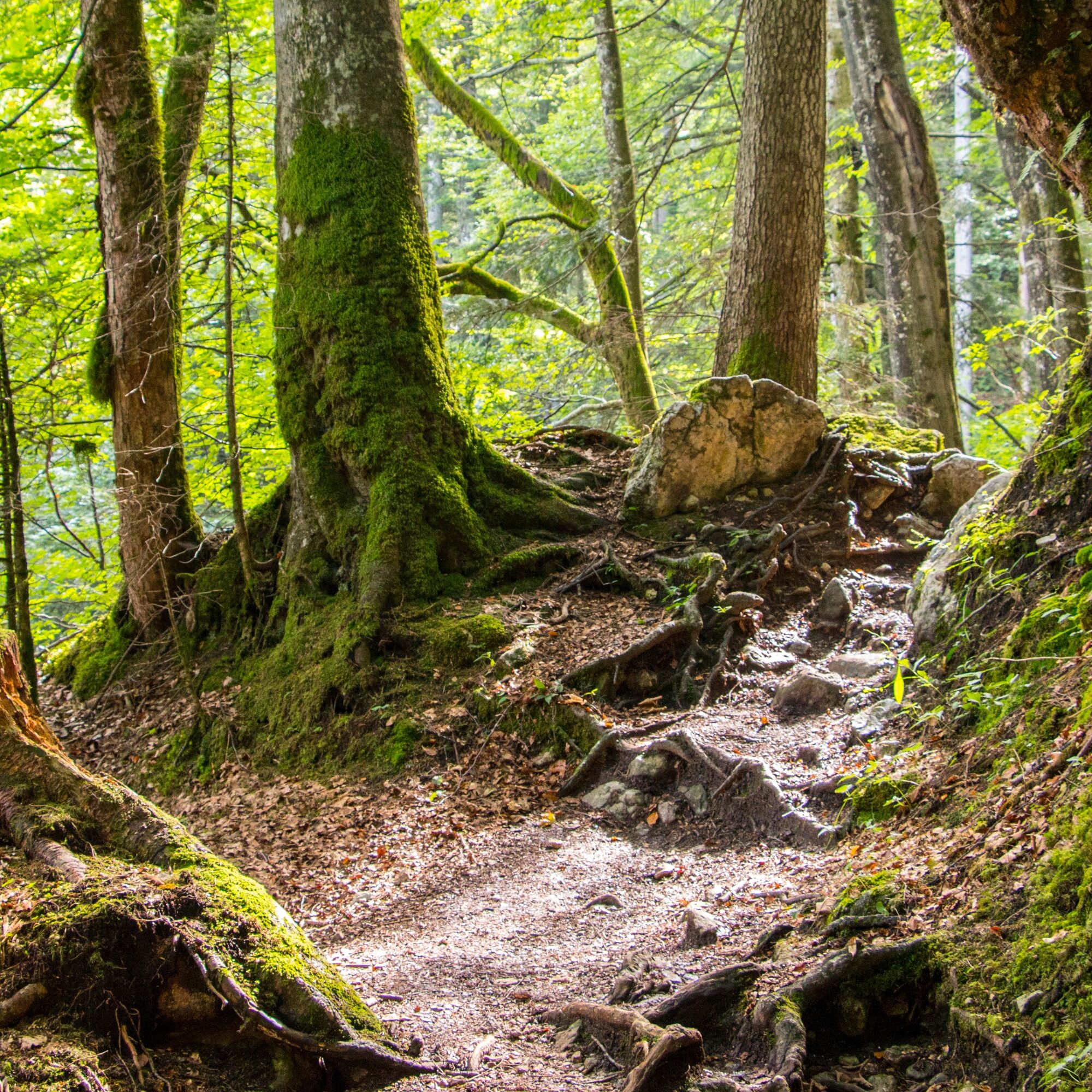
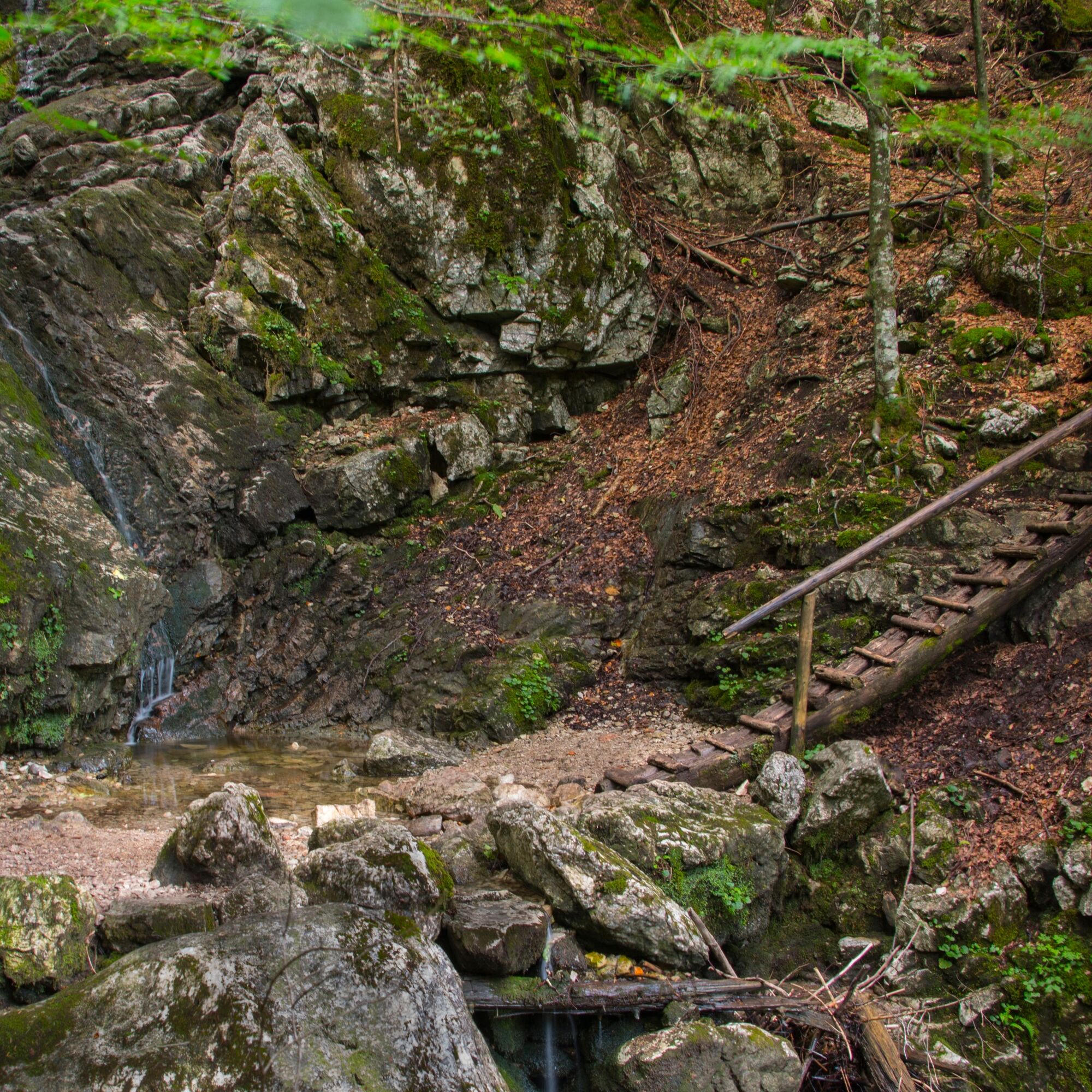
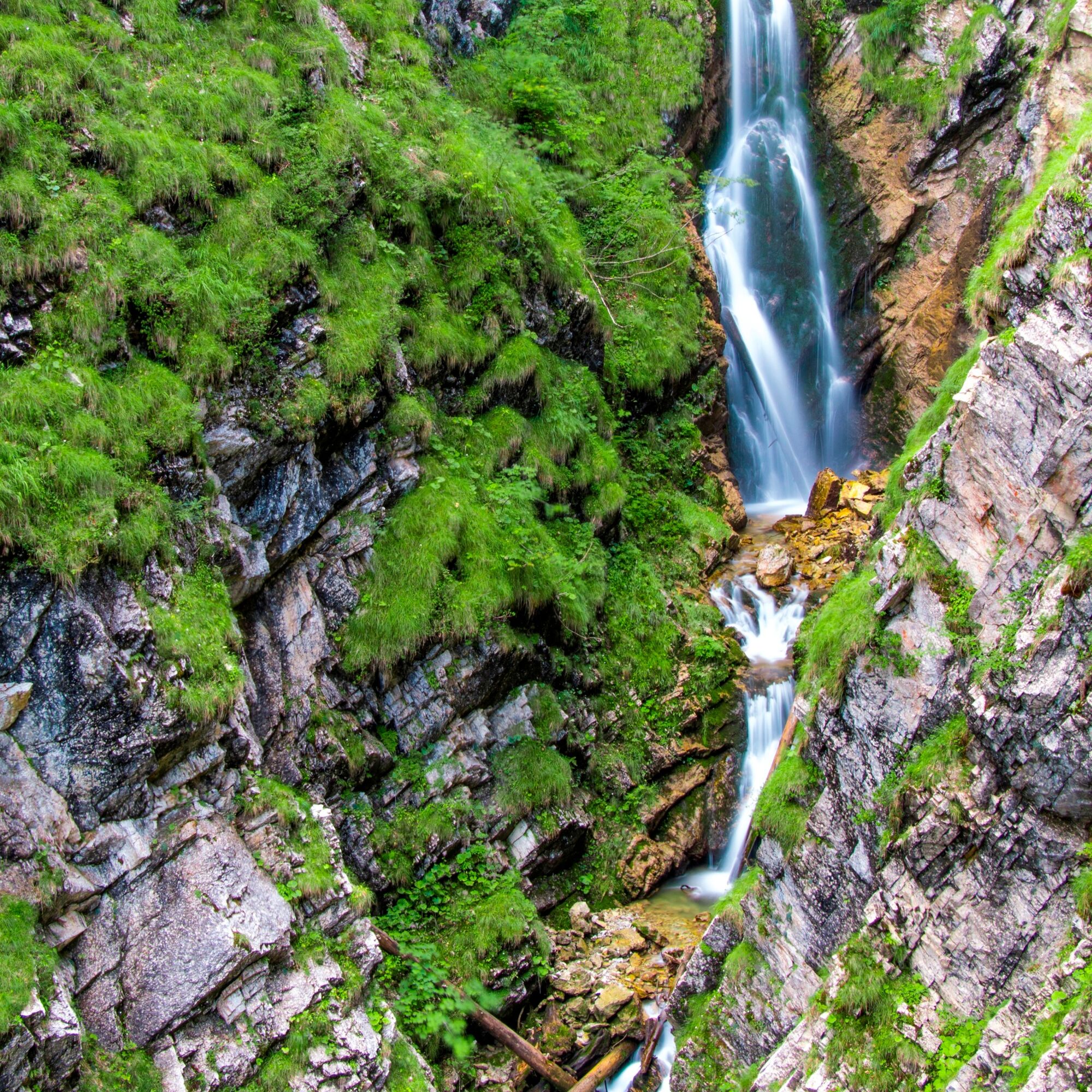
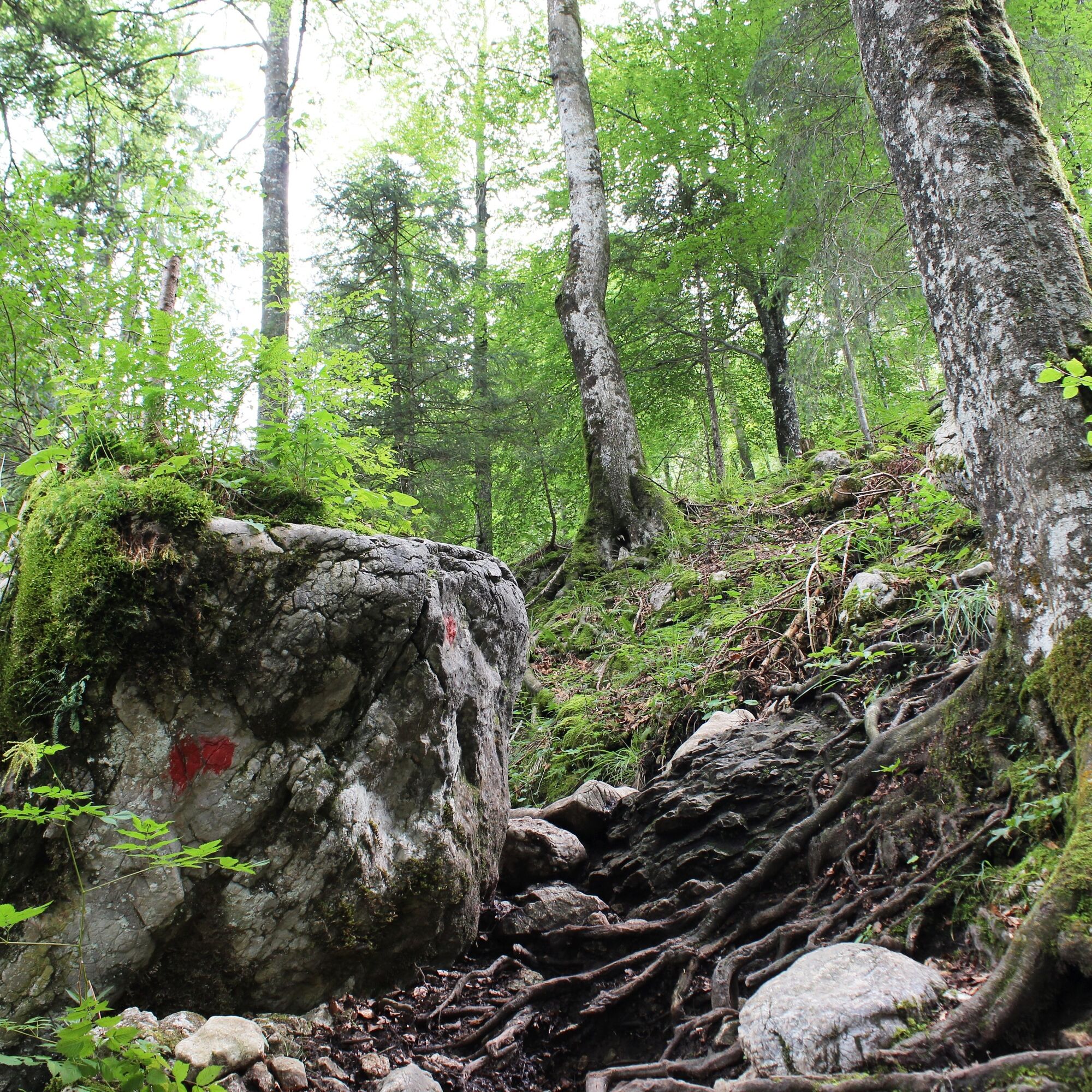
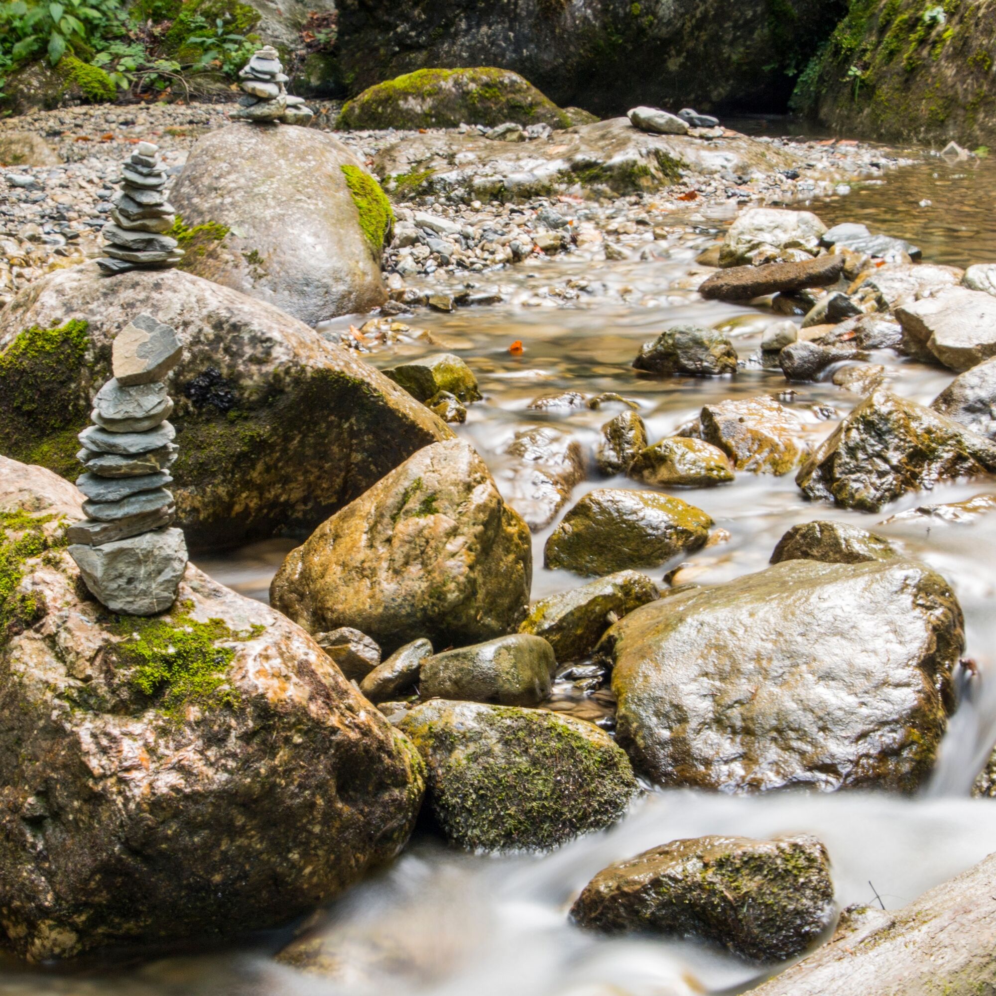
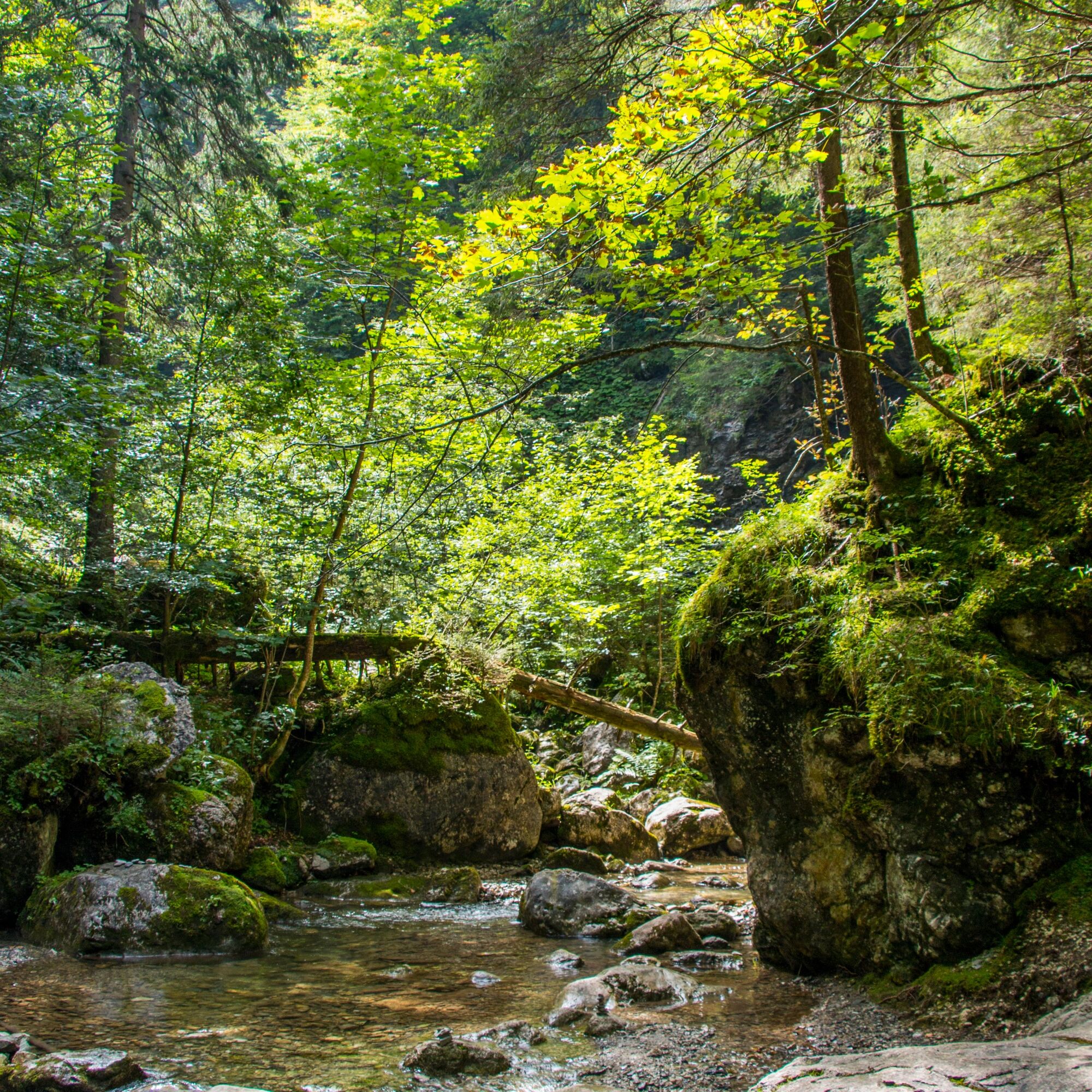
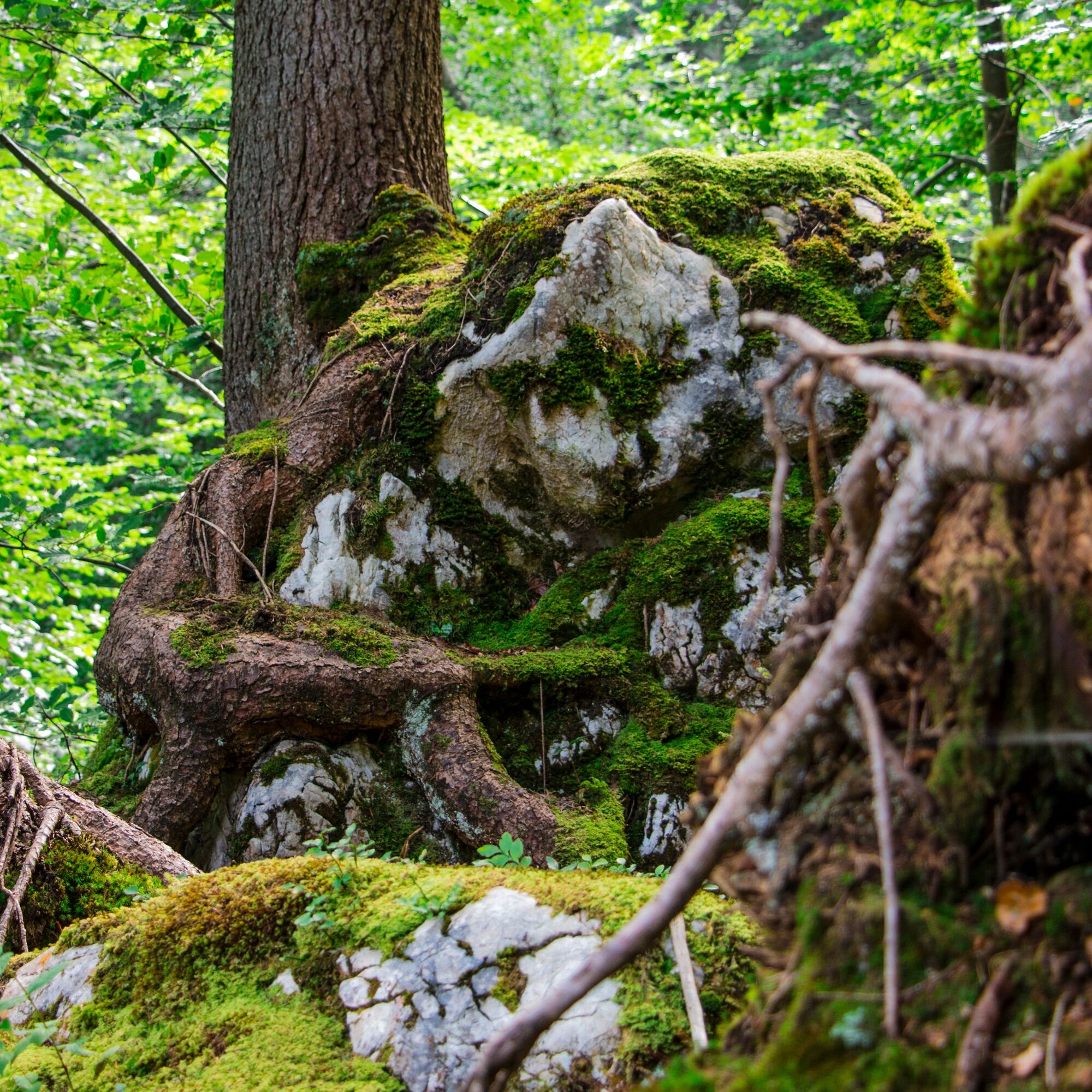
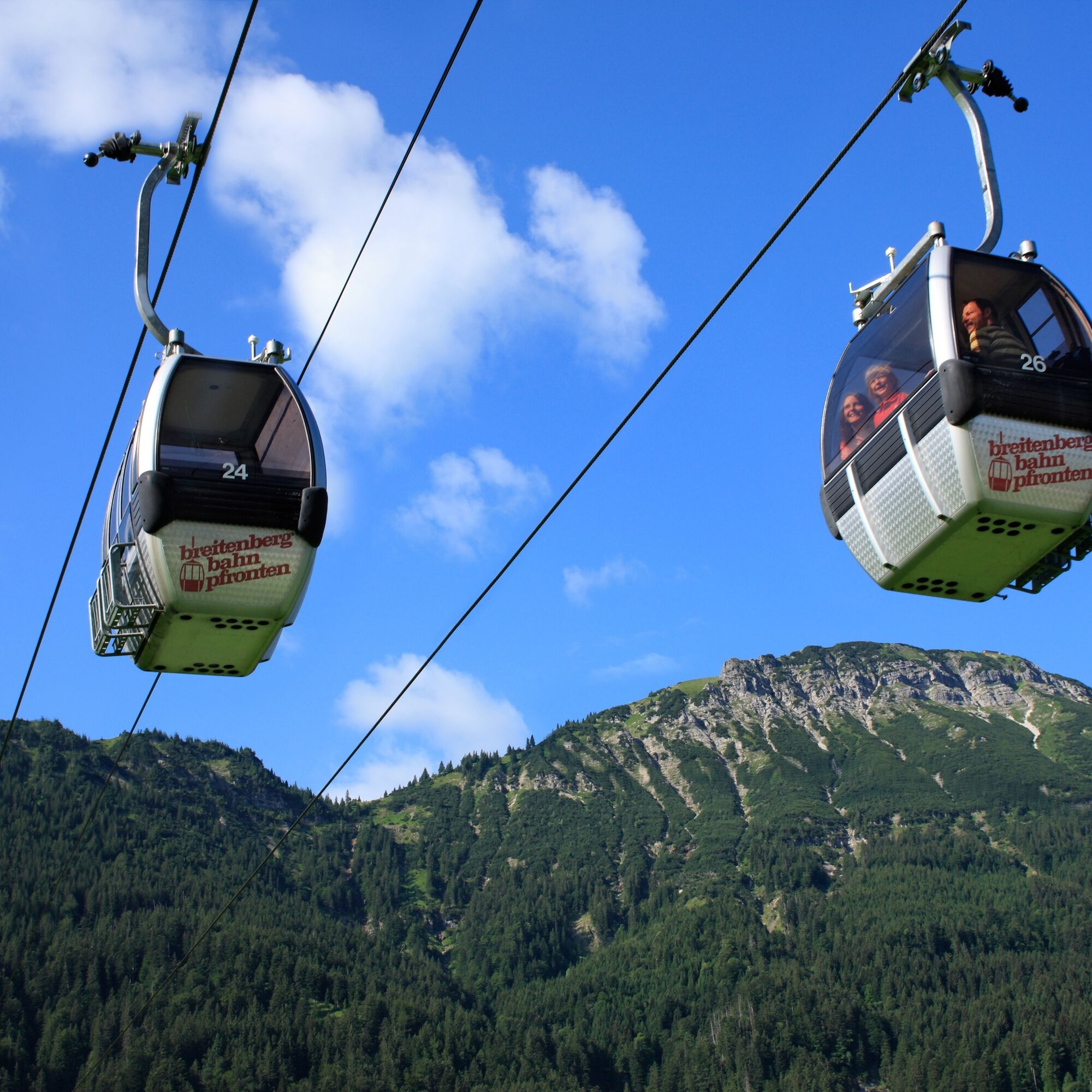
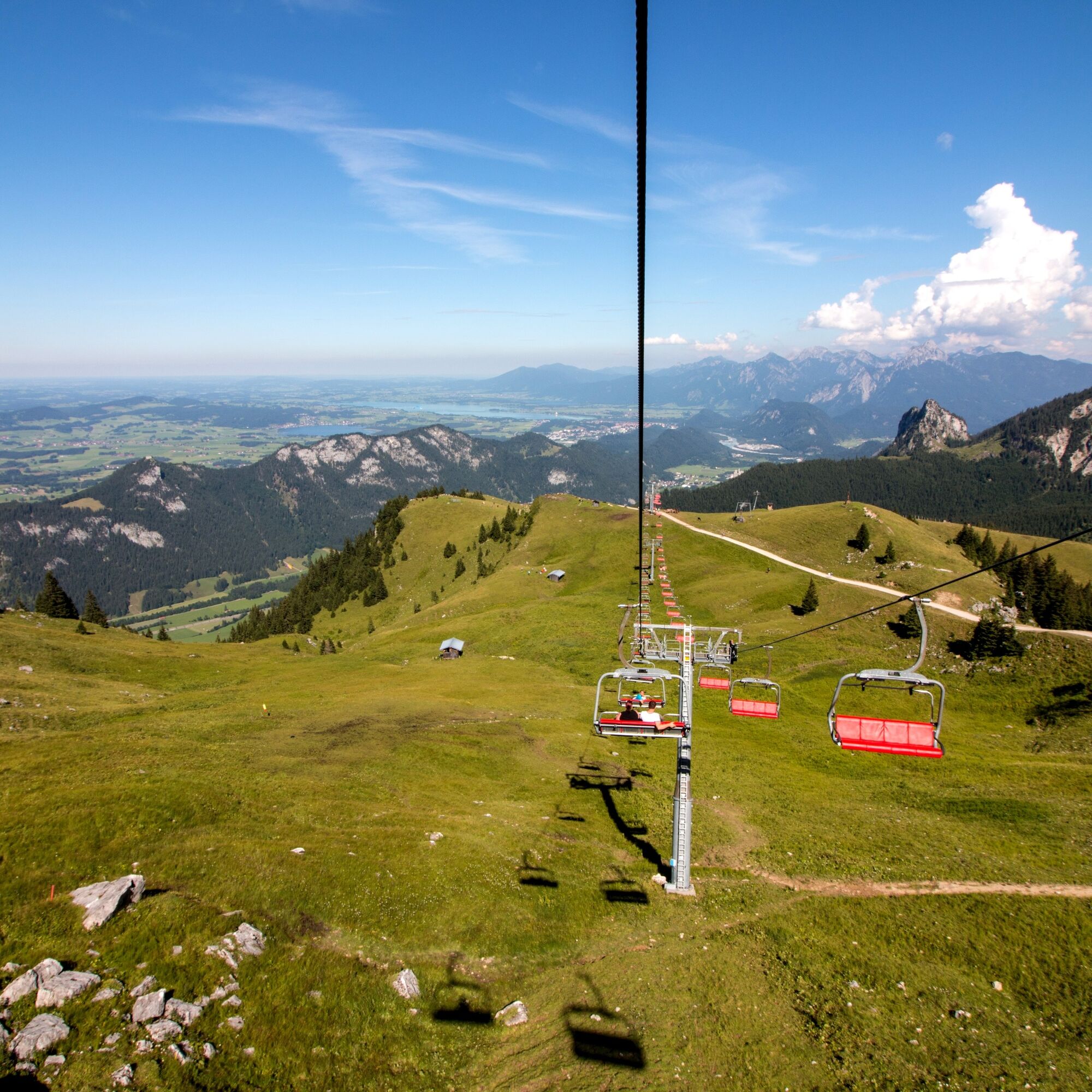
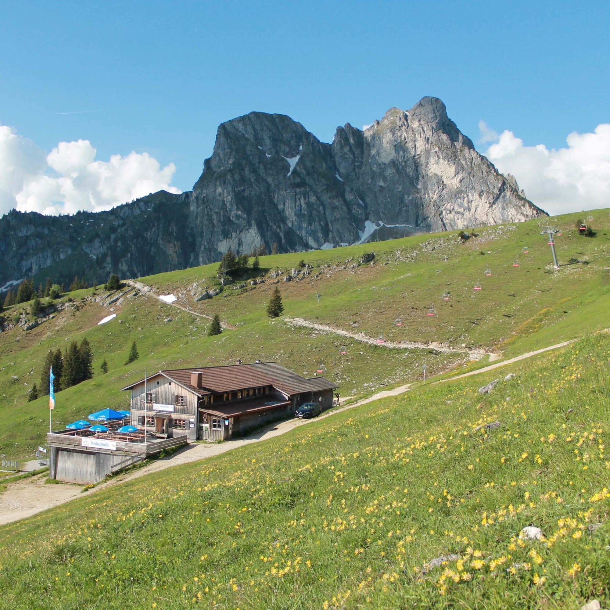
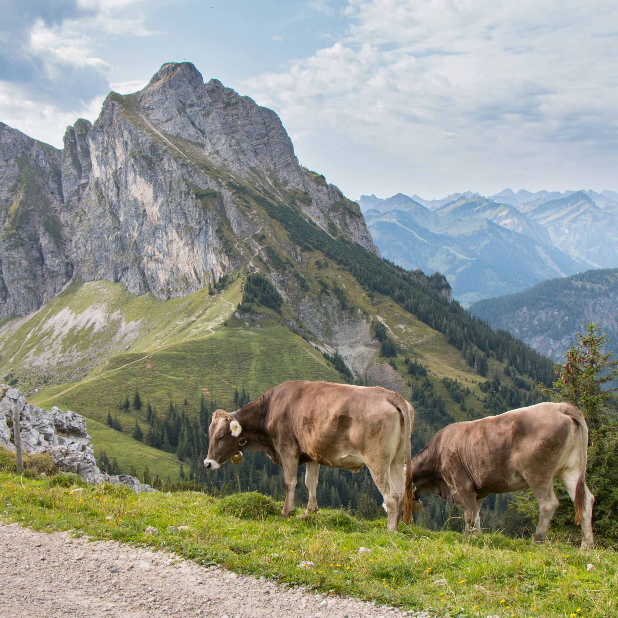
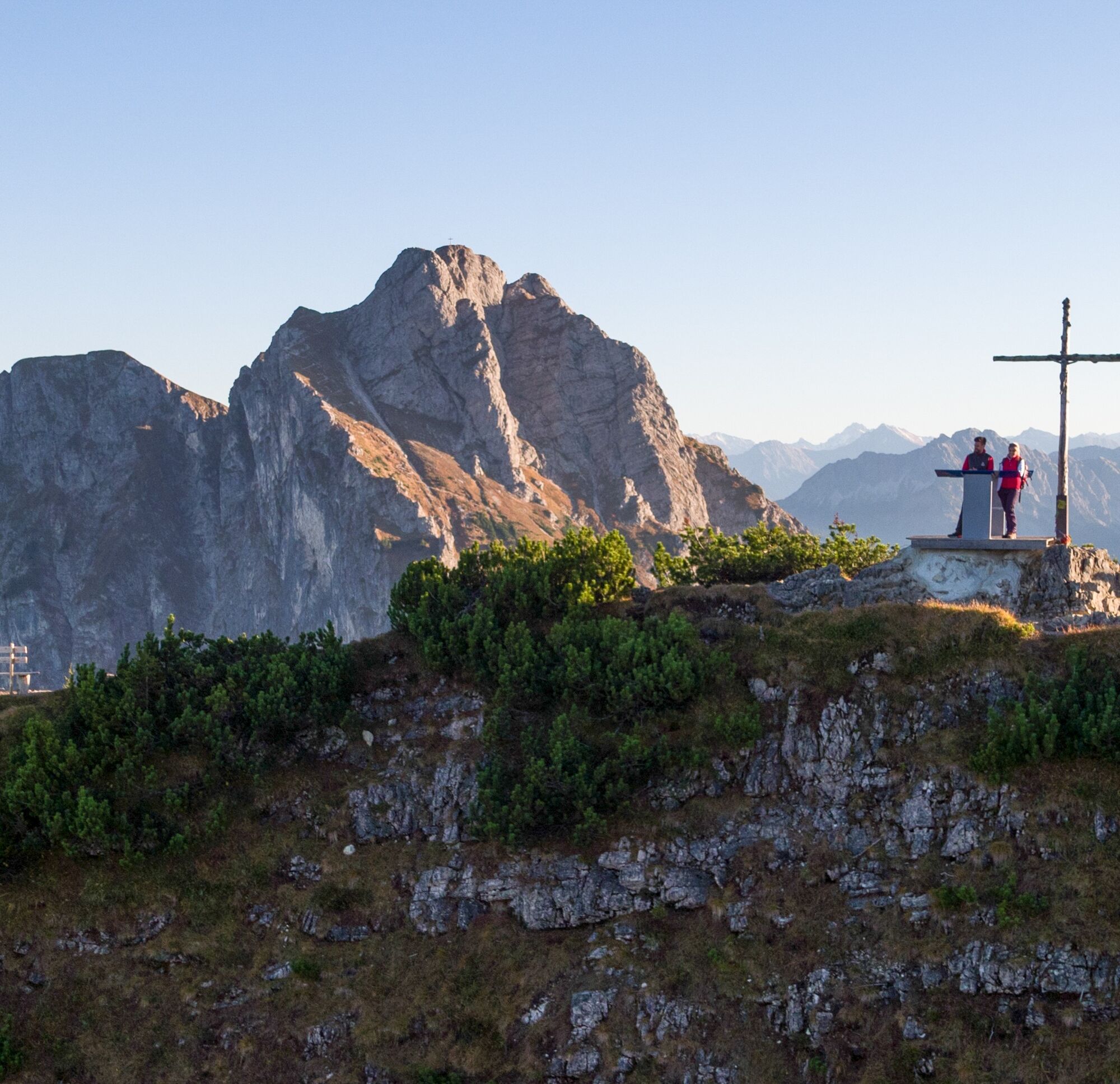
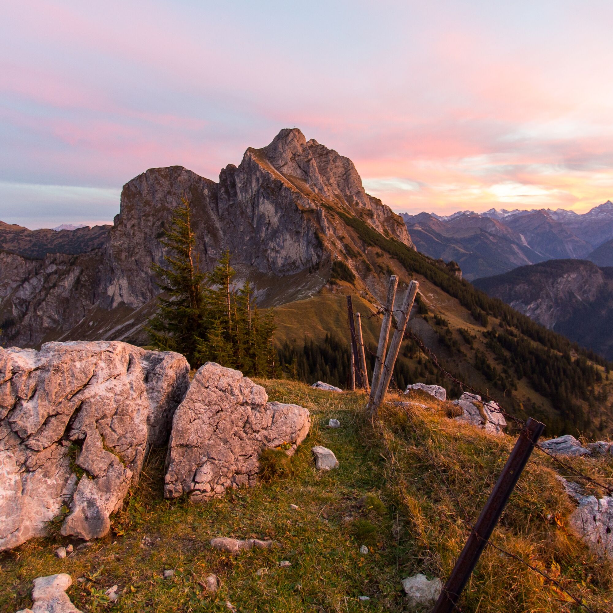

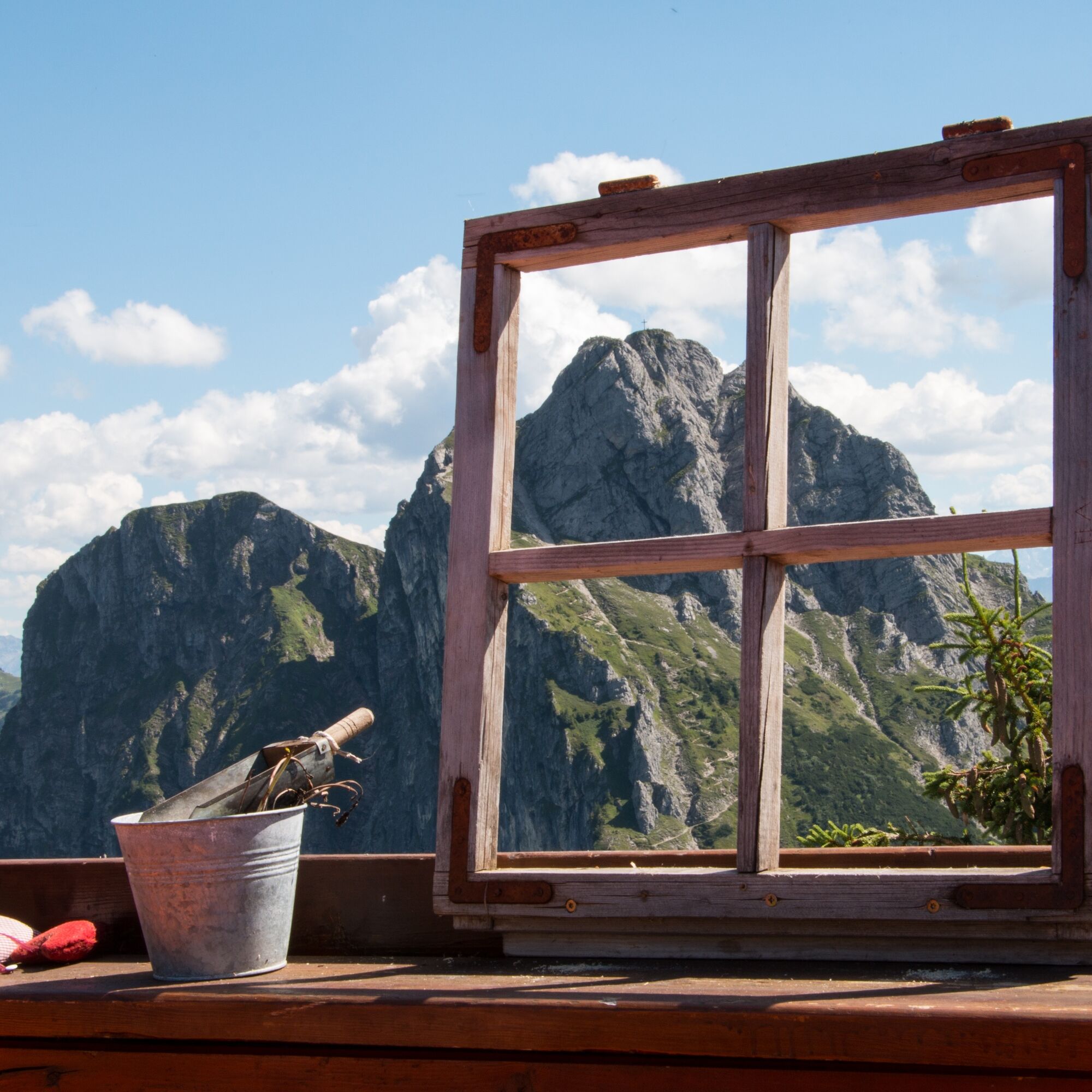
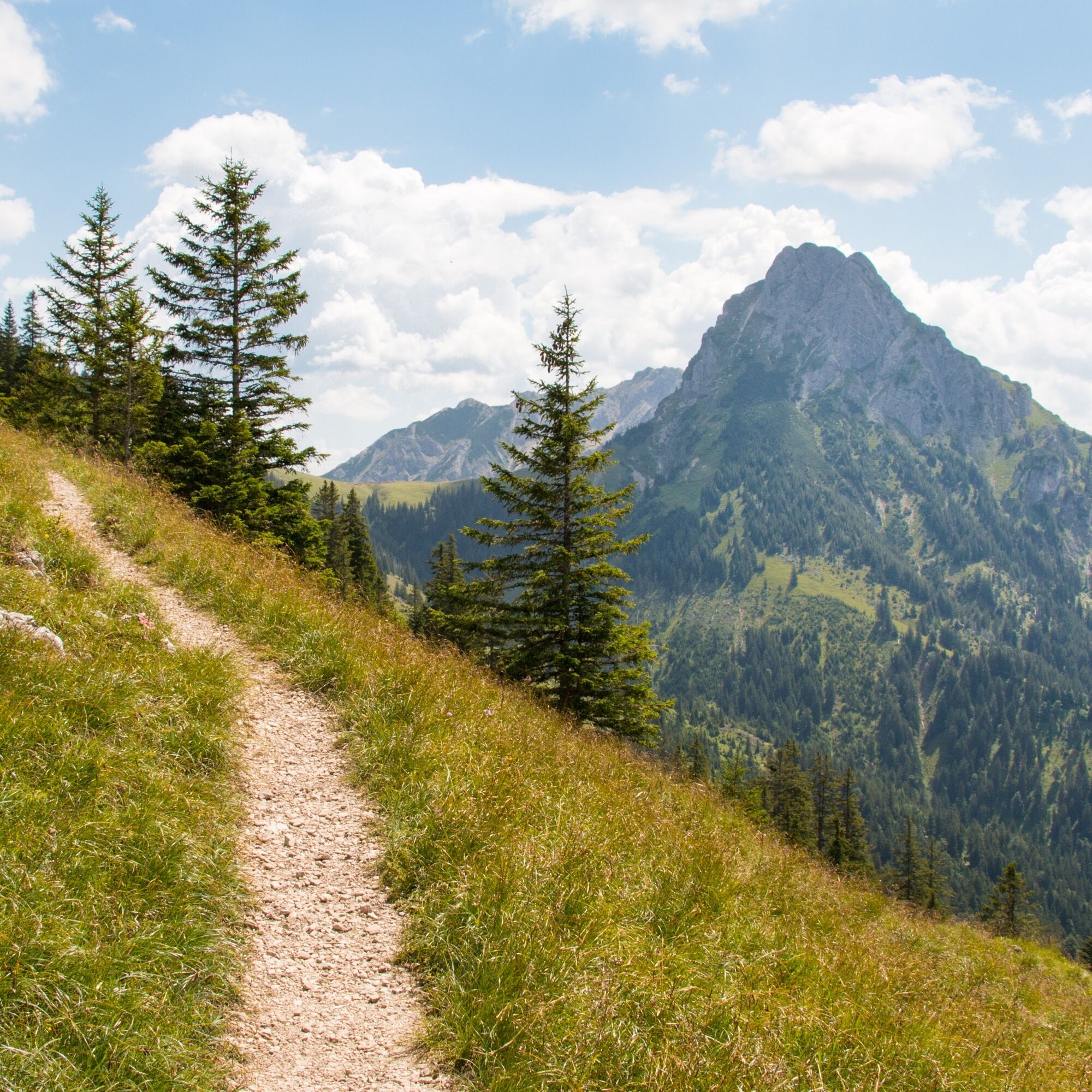
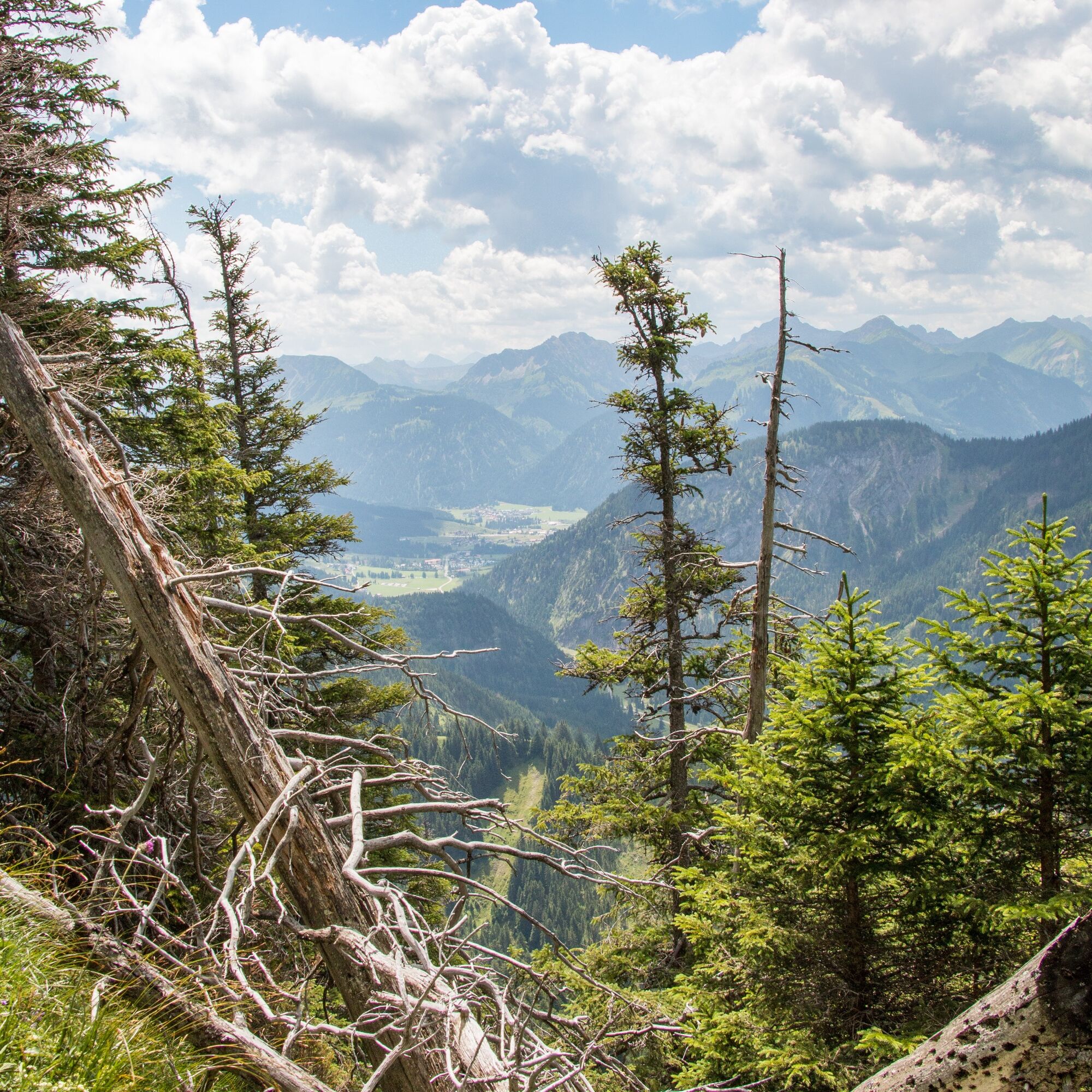
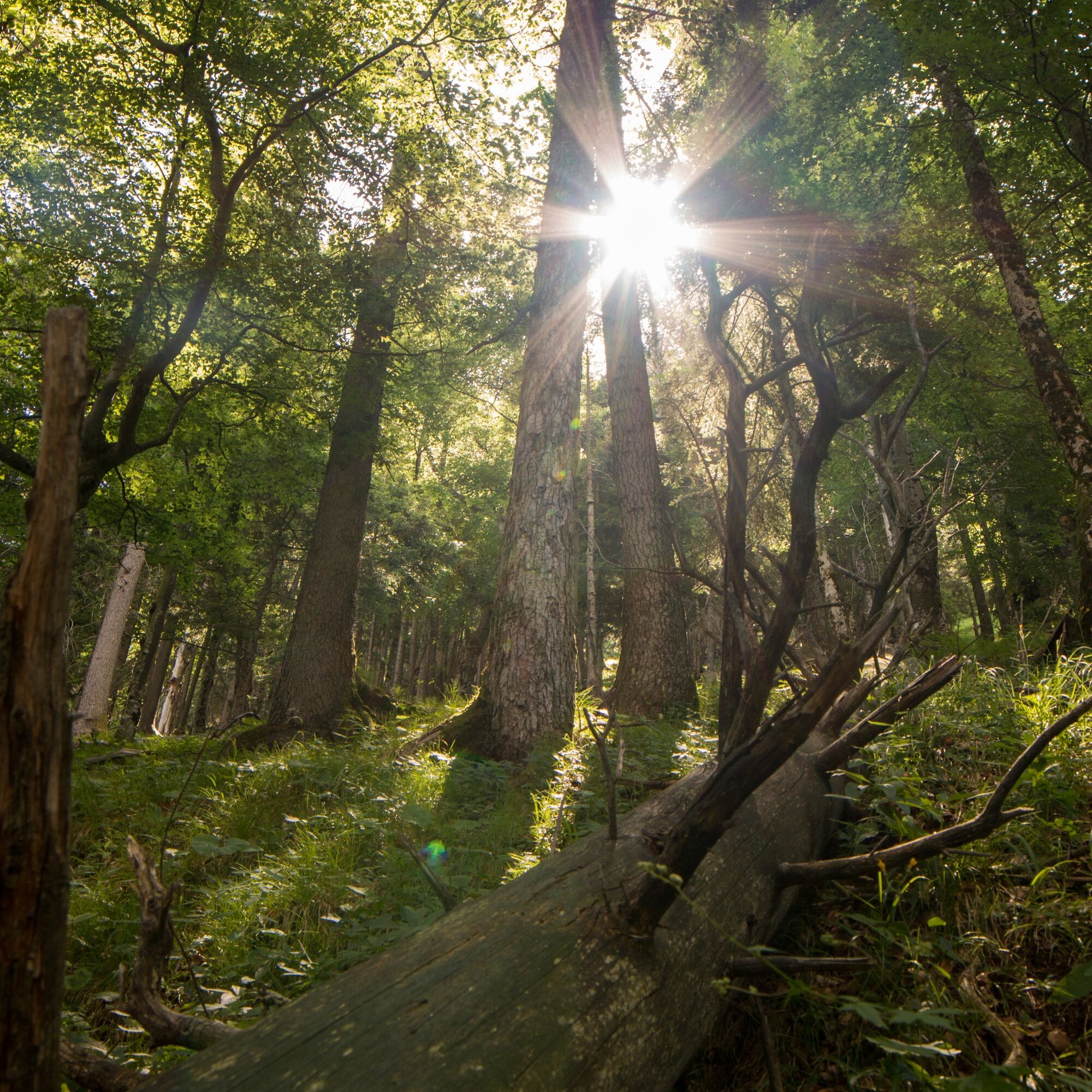


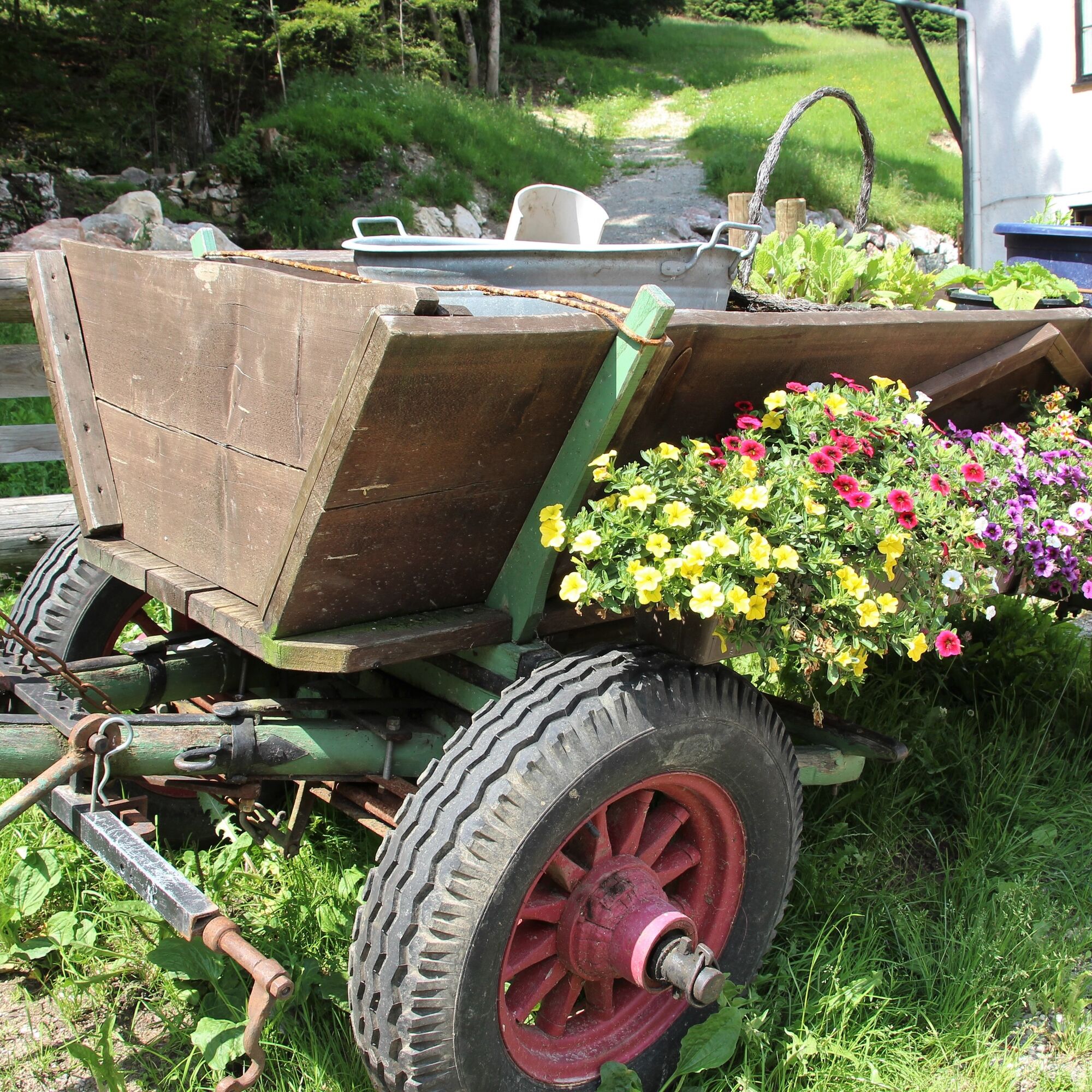
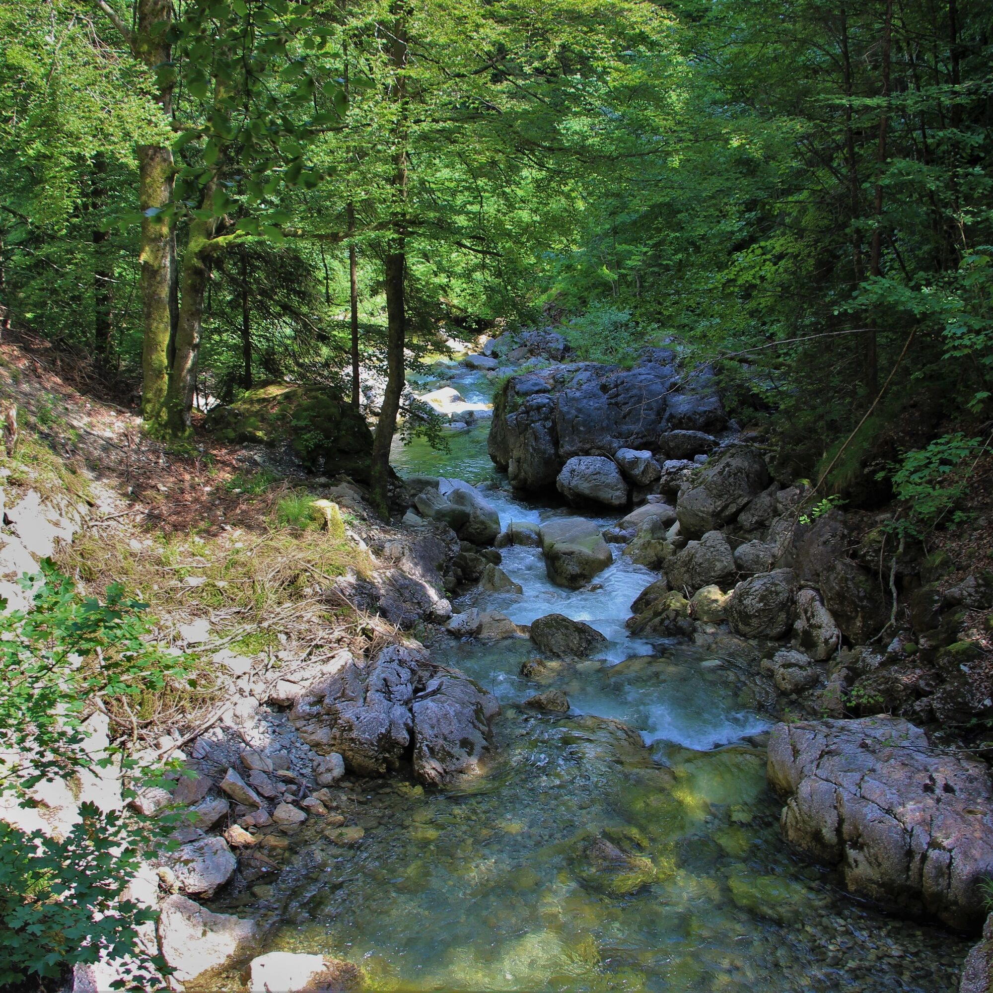
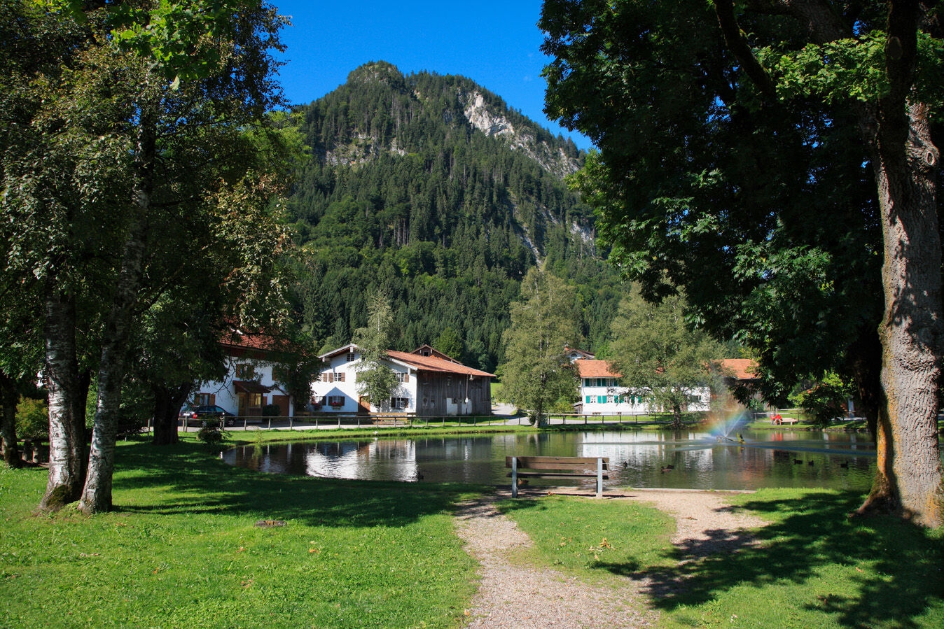


From the start and welcome place at the House of Guests, the path initially leads along the wide, open Pfronten valley, through the district of Steinach to the valley station of the Breitenbergbahn (those who want can shorten the ascent here with a gondola ride). The entrance to the Reichenbach Gorge is on the left side of the railway and leads first along a stream to the beginning of the gorge. Further on, you cross the impressive ravine with waterfalls, up to the Hochalpe. From here, the path continues to climb to the former customs officers' hut (not managed). At this point, there are various options for experienced hikers to extend the route further.
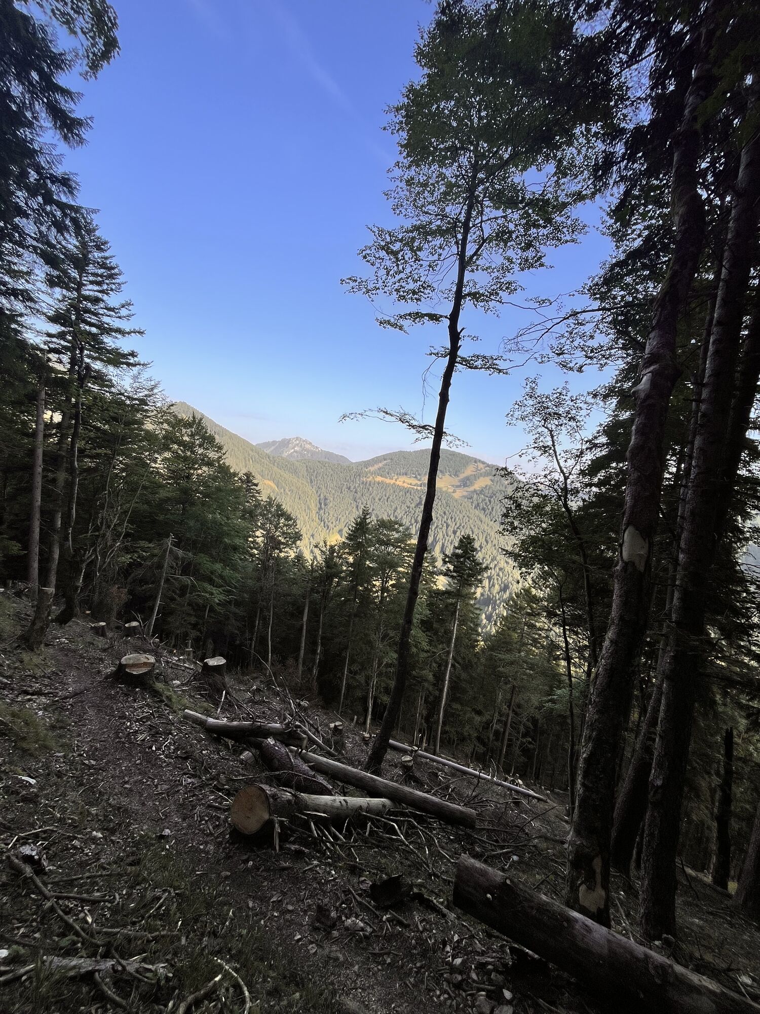
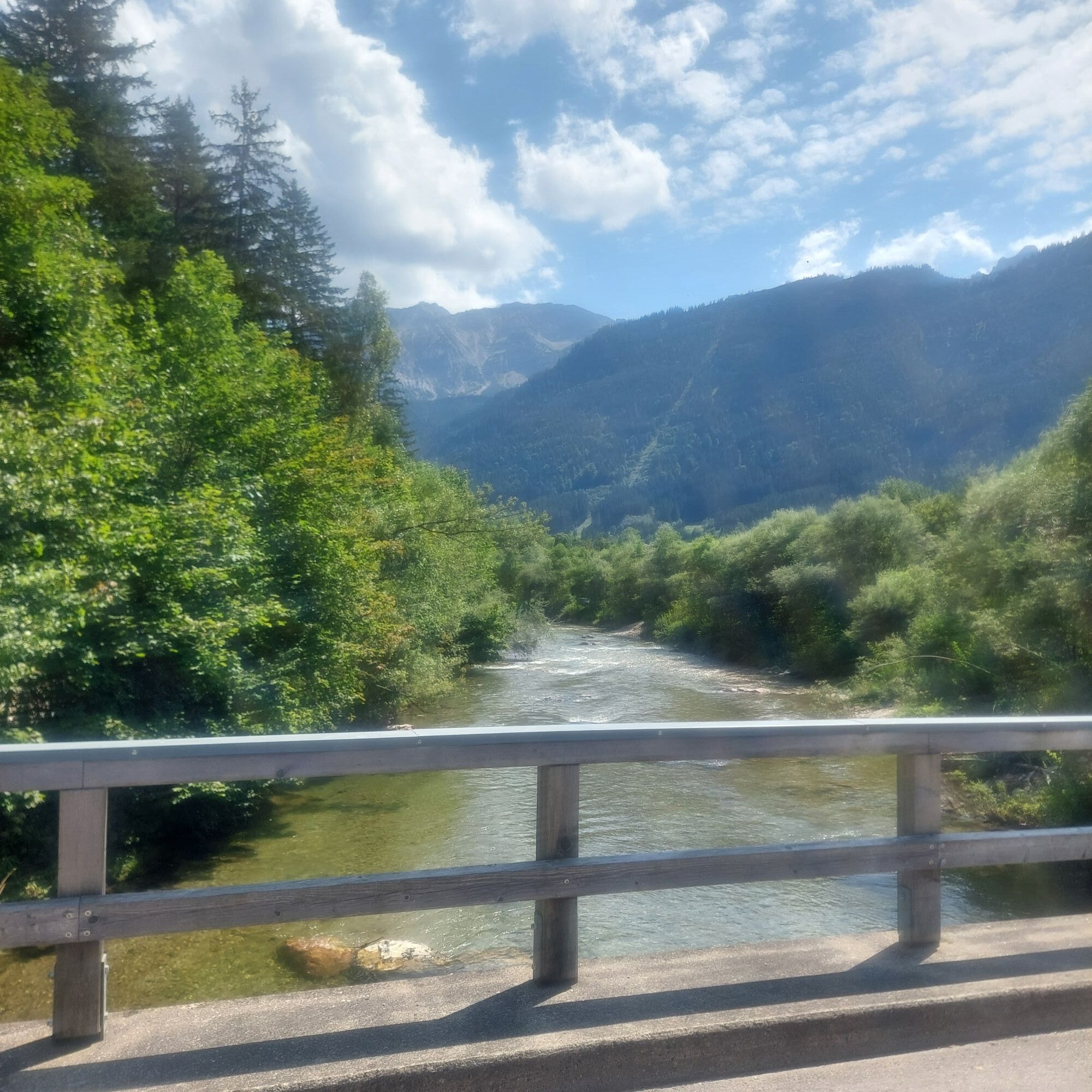
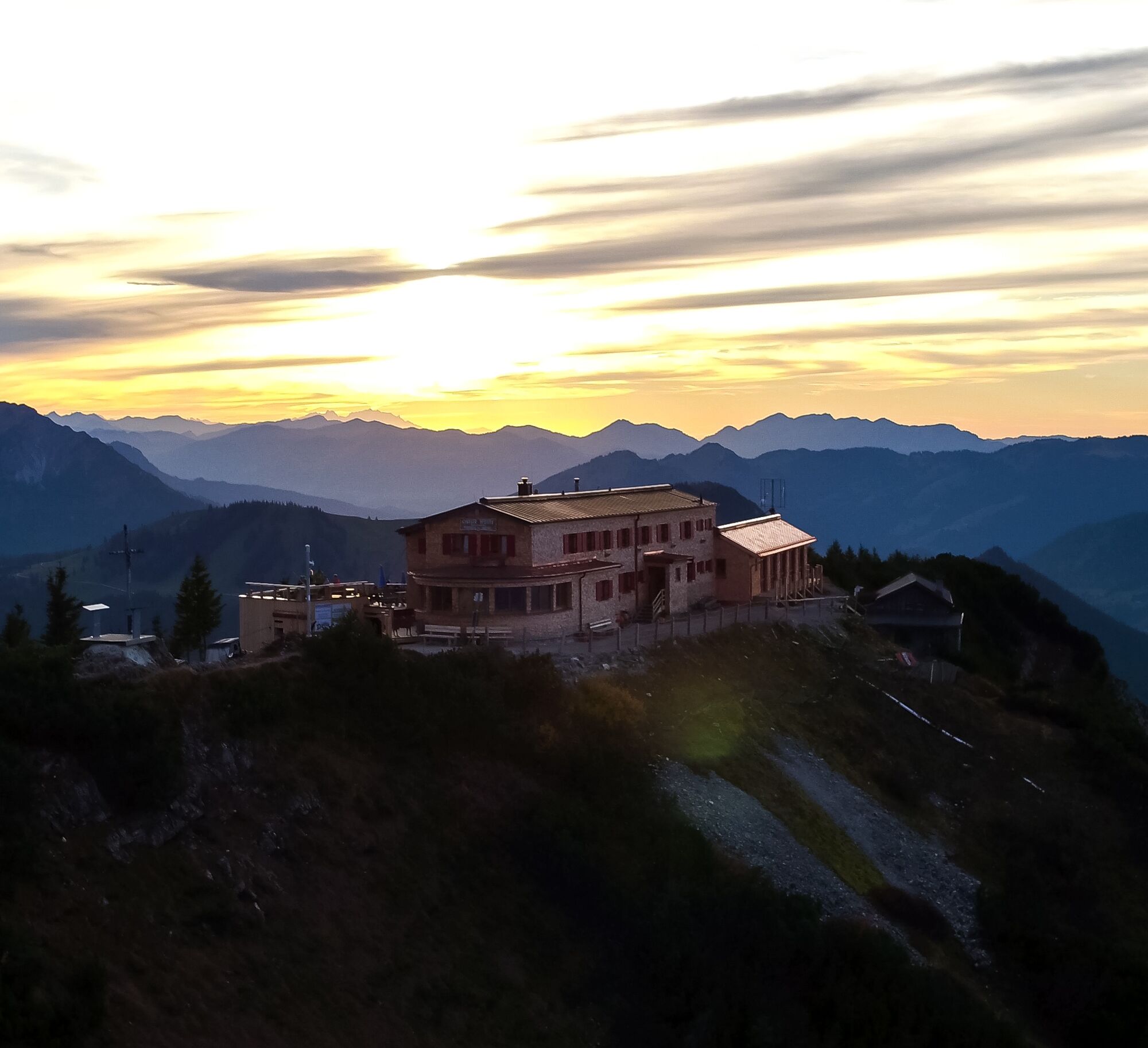
From the border hut at the foot of the Aggenstein summit, you continue over the wide high pasture areas, past the chairlift mountain station, and up to the spectacularly located Ostlerhütte on the summit of the Breitenberg. Here, you can enjoy the magnificent panorama during a break. Over the ridge, you then descend through larch, mountain, and mixed forest again down to the valley to the Fallmühle guesthouse, where a cozy beer garden invites you to take a break. From the Fallmühle, the shaded path leads along the lazy Ach back to Pfronten.
Da
Da
Da
Sturdy footwear, a backpack with provisions, and a rain jacket are recommended.
Access via B309 to the district of Pfronten - Ried.
Bus connection Pfronten – Tannheim (in summer), Pfronten-Ried train station, Pfronten-Steinach train station
Parking at Pfronten-Ried train station (or at Pfronten-Steinach train station / valley station of the Breitenbergbahn)
Further information can be found on the local homepage of Pfronten: www.pfronten.de
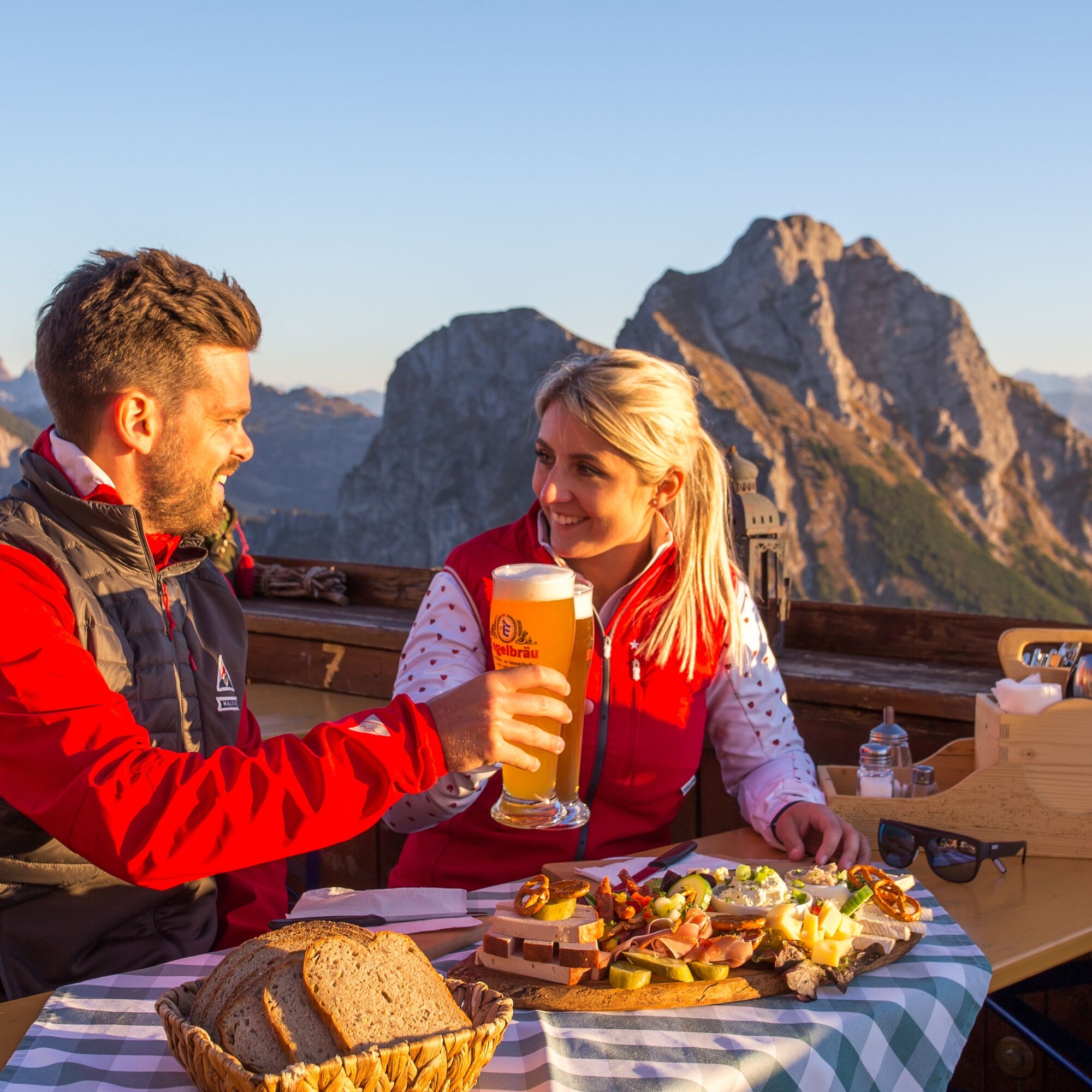
Refreshment opportunity at the Ostlerhütte: The Ostlerhütte lies directly on the ridge of the Breitenberg. On the sun terrace, you can enjoy the magnificent view of the Tyrolean Alps and have a substantial refreshment.



Spletne kamere s turneje
Skizentrum Steinach / Pfronten
Breitenberg Bergstation
Kesselmoos und Hochalpbahn
Pfronten-Halden / Hotel Zugspitzblick
Pfronten - Boutique Hotel Blaue Burg Falkenstein
Pfronten - Ostlerhütte
Eisenberg - Burgruine
Grän - Hotel Bergblick
Nesselwang - Alpspitzbahn Sportheim Böck
Füssener Jöchle Bergstation
Füssen Appartementhotel Seespitz
Breitenbergbahn - Pfronten
Pfronten - Skizentrum
Pridobite vpogled Vedno v živo na mestu z več kot 9.500 spletnimi kamerami. bergfex Kot uporabnik Pro si lahko zdaj ogledate ustrezne spletne kamere za številne izlete v aplikaciji izleti iz. Tako si lahko neposredno ogledate trenutne razmere. 
Priljubljeni izleti v okolici
- 4,8
Around Weißensee
svetlobaPohodništvo 6,12 km - 5,0
Hiking tour to Breitenberg
težkoPohodništvo 15,6 km - 4,9
Gemeinde Grän, Tirol/Österreich Aggenstein Rundtour über Höhenweg
srednjaPohodništvo 9,84 km - 4,4
Höllschlucht hike » Water & Forest
srednjaPohodništvo 7,38 km - 4,8
Tannheim / Vilsalpsee / Landsberger Hütte
srednjaPohodništvo 15,7 km - 4,3
Three-lake route (awarded the Tyrolean Hiking Trail Seal of Quality)
srednjaPohodništvo 14,8 km - 4,8
3-Gipfel-Tour
srednjaPohodništvo 11,2 km - 4,8
Iseler und Kühgundkopf
srednjaPohodništvo 7,63 km - 4,6
3-Seen Rundtour Vilsalpsee / Schrecksee / Traualpsee
srednjaPohodništvo 17,1 km - 4,3
Schloß Neuschwanstein und Schwanensee Schwangau, Bayern
srednjaPohodništvo 9 km
Pohodništvo in sledenje


Ne zamudite ponudb in navdiha za naslednje počitnice
Vaš e-poštni naslov je bil dodan na poštni seznam.





