





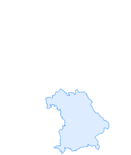

Mountain bike circular route Obernburg - Eisenbach
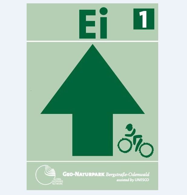
The 32 km long route "Ei1", created in cooperation with the Geo-Nature Park Bergstraße-Odenwald, runs mainly on field and forest paths in the districts of Obernburg and Eisenbach. Along the varied route,...
The 32 km long route "Ei1", created in cooperation with the Geo-Nature Park Bergstraße-Odenwald, runs mainly on field and forest paths in the districts of Obernburg and Eisenbach. Along the varied route, there are repeated splendid views of the Spessart as well as the beautiful Main valley, and parts of the route also run on historic paths dating back to Roman times. The route is intentionally designed to accommodate bikers who are not in top physical condition. Furthermore, the ratio of climbs to descents is arranged so that there are frequent opportunities for physical recovery. The route is also well-suited to be ridden all year round. About 15% of it runs on beautiful trails, approximately 10% on naturally firm paths, 10% on asphalt, and the rest on gravel roads.
The start and finish points of the route are at the sports field in Eisenbach on Wiesentalstraße.

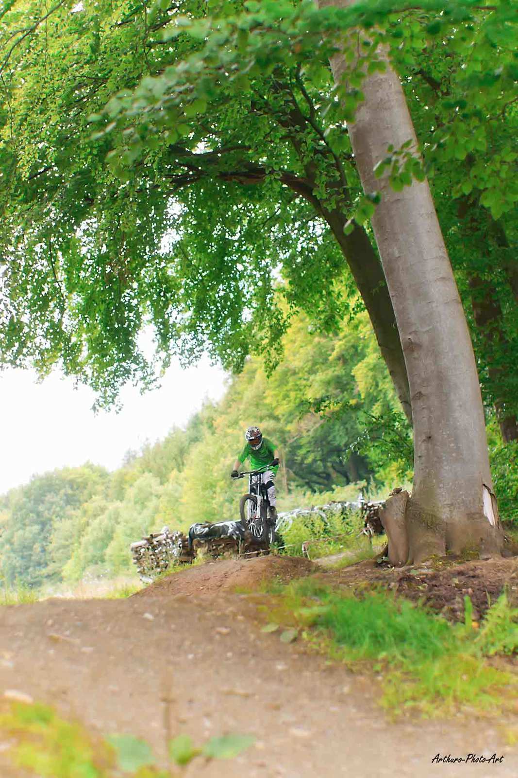
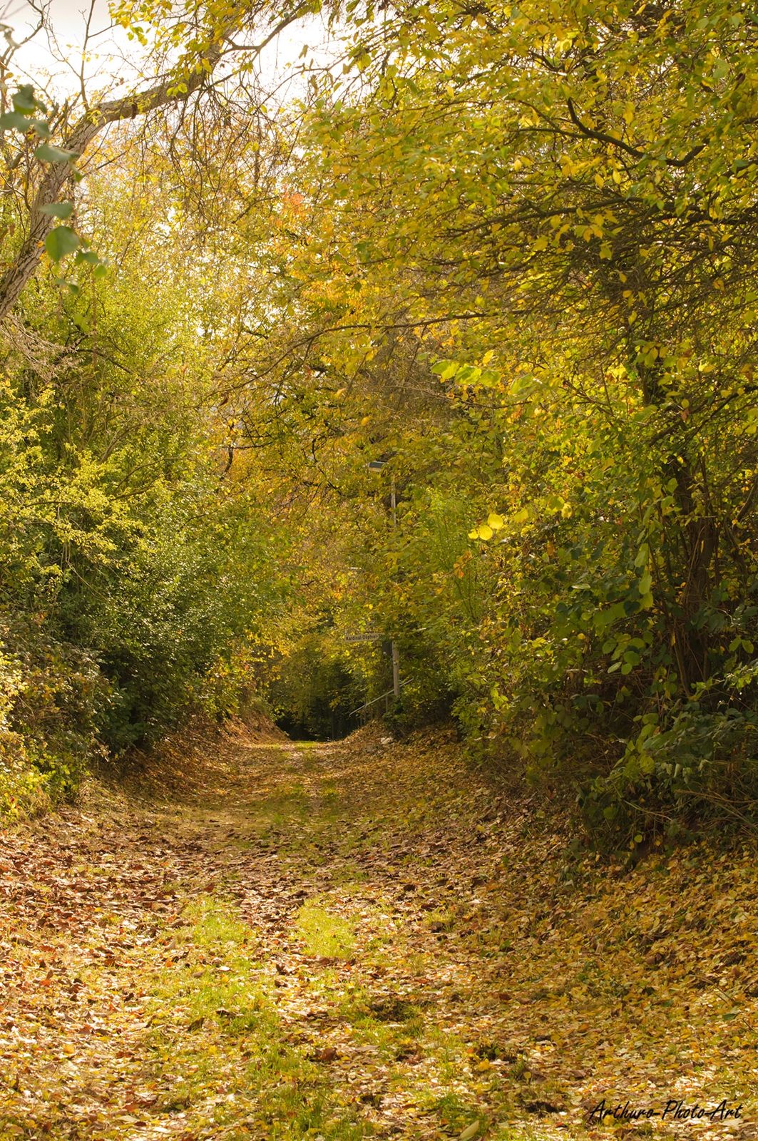



From here, the route initially runs along the edge of the forest on a naturally firm path towards Neustädter Hof. After about 1 km, the first technical challenge appears with a short, steep descent in the Zigeunergraben towards Neustädter Hof. From there, we cross the B426, running parallel to the Mö1 route, to climb the Hardtberg. Next is the first longer descent on gravel into the Teufelsgraben, past Lauterhof, to reach the Rauschenberg, from where you can enjoy the magnificent views of the Main valley and the Vorspessart at the Bildstock. From the 243 m high Rauschenberg, we then take the second longer descent down to the Main valley, passing the Protestant church, around the roundabout and down to the Main valley cycle path. The route now runs upstream along the Main towards Wörth, briefly follows the Mömling river, and then at the Obernburg waterhouse follows the Steinweg, which after about 500 m again offers magnificent views into the Main valley towards Erlenbach. From here, we reach Grundweg, following it past the black cherry tree spring up to the highest point of Obernburg at 329 m above sea level. Here, we follow the state border of Bavaria/Hesse to the Obernburg Forest House. The route then crosses Grundweg, climbing the Eichelkerngraben on gravel roads to the Hohe Straße towards the Eisenbach shelter. Passing this, we finally reach the Stutzberg, from where we can enjoy another view of Eisenbach and Obernburg. In the Stutzberg area, the route passes over the bike practice area via the singletrail back down to the start point, with the practice area offering plenty for the ambitious biker. Less experienced riders have the option to bypass this area easily via the gravel bypass path. At the end of the route, the odometer can show 30.8 km and 747 meters of ascent.
Information on how to reach the starting point using public transport can be found at www.vab-info.de or by calling 06021 1506666.
Parking lot at the sports field in Eisenbach, Wiesentalstraße
Priljubljeni izleti v okolici
"Of Clay, Stones and Shards"
srednjaPohodništvo 8.31 km- 5.0
Kulturweg Niedernberg: Blechkatzen im Honischland
Pohodništvo 10.2 km Obernburg - Eisenbach round
srednjaPohodništvo 10.7 km- 4.0
European cultural route: "From Hecke to Häcke in Hebboch"
srednjaPohodništvo 10.2 km - 5.0
Rüdenau mountain hike R1
težkoPohodništvo 13.8 km Miltenberg - Engelberg Monastery - Kleinheubach Castle - round trip
težkoPohodništvo 12.6 km- 3.0
Franconian Red Wine Hiking Route - 4th stage from Erlenbach to Klingenberg
svetlobaPohodništvo 4.08 km - 5.0
Klingenberg: Hiking Trail Schnepfe
srednjaPohodništvo 5.03 km - 4.0
Elsenfeld district Rück: Via Eichelsbach and the Himmelthal monastery through the vineyards back to the car park in Churfranken
težkoPohodništvo 9.32 km - 3.0
Elsenfeld district Rück: Across the vineyards past the Red Cross to Hofstetten, return over the Hochberg to the parking lot
težkoPohodništvo 10.6 km
Pohodništvo in sledenje


Ne zamudite ponudb in navdiha za naslednje počitnice
Vaš e-poštni naslov je bil dodan na poštni seznam.





