


Aacher Geißbock
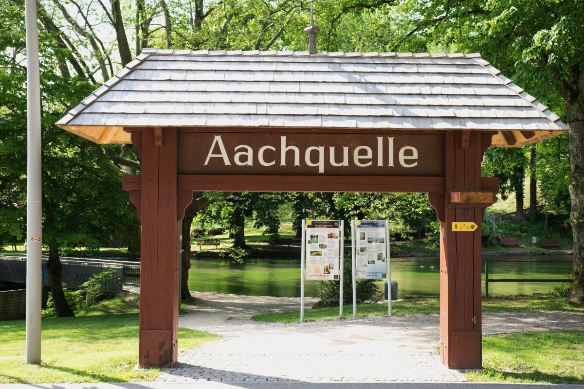
The small town of Aach is world-famous for its Aach spring: the largest karst spring in Germany. Created by post-glacial water and glacier forces, the steep slopes around Aach were only shaped into a fascinating,...
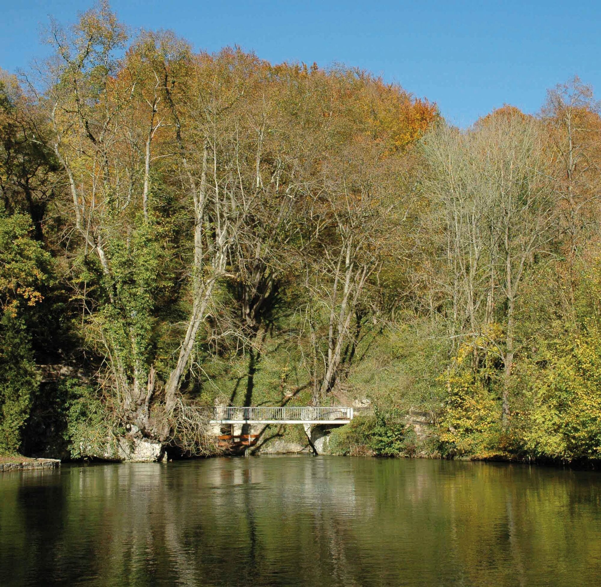
The small town of Aach is world-famous for its Aach spring: the largest karst spring in Germany. Created by post-glacial water and glacier forces, the steep slopes around Aach were only shaped into a fascinating, species-rich cultural landscape through 1000 years of grazing. The grazing with sheep and goats also gave rise to the name "Aacher Geißbock" (Aach billy goat). The water of the Aach spring mainly comes from the Danube, which sinks between Immendingen and Fridingen and has created an underground outlet through the porous karst rock. It is also interesting to consider that at the sinking points it is decided whether the water flows with the Danube to the Black Sea or to the North Sea.
Attention: in the middle of the path lies the state hunting school. Shooting exercises often take place here and can lead to noise disturbances. On these days, the path should be avoided. Current event and shooting schedule at: www.dornsberg-schuetzen.de

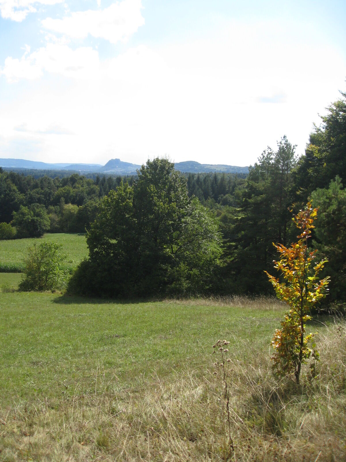
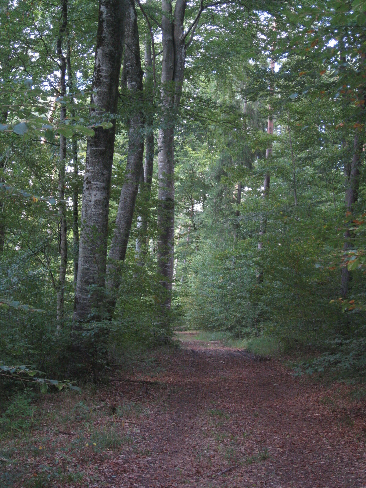
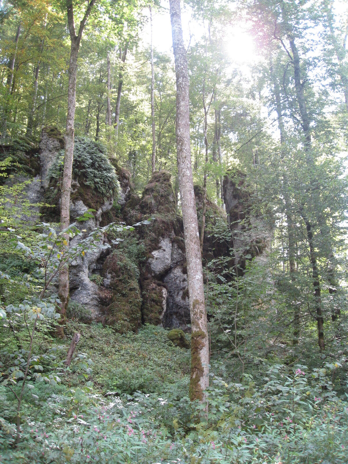
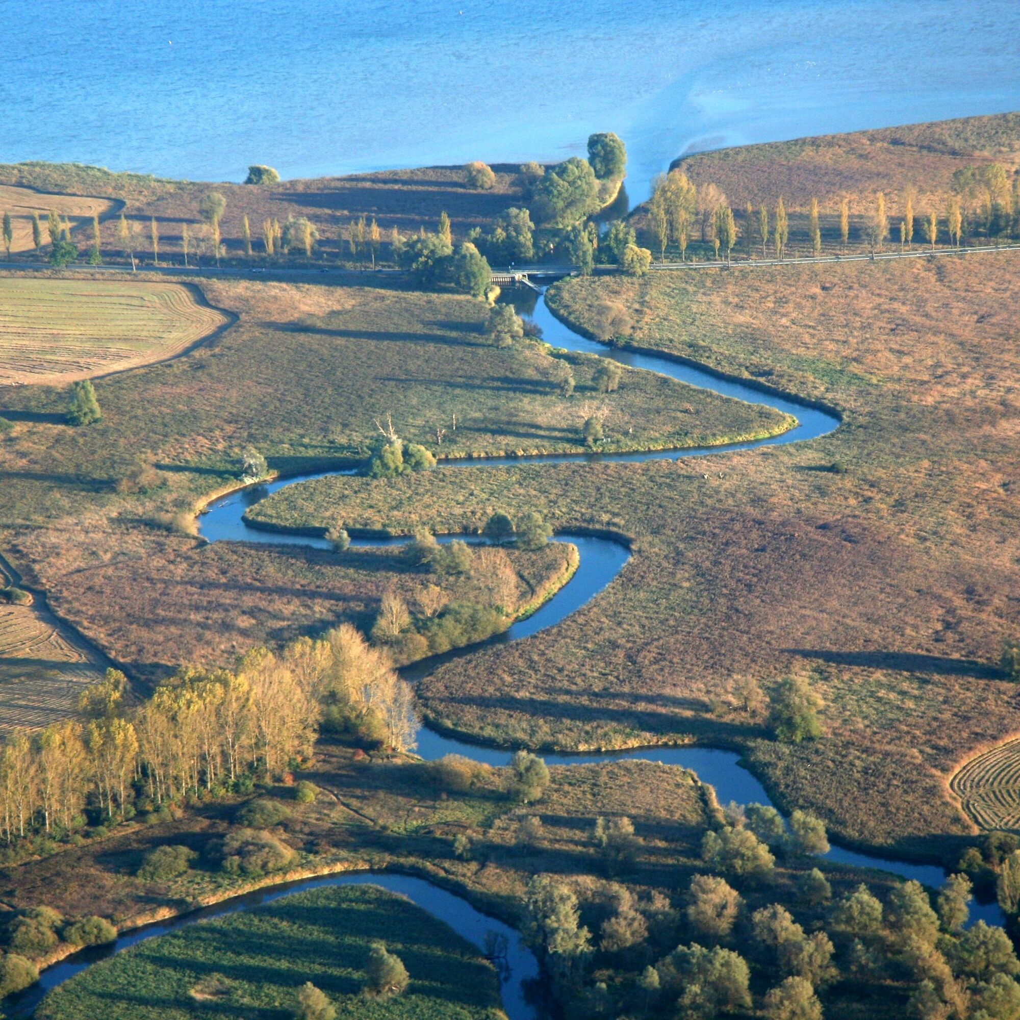
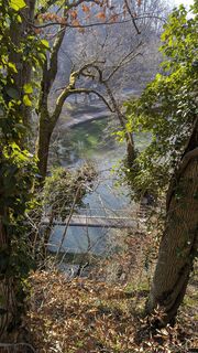
The starting point of the hike is at the Aach spring. First, it goes uphill to the northern edge of the Aach city mountain. There, a dreamlike view over the Hegau towards Hohenhewen awaits the hiker. In serpentine loops, the valley basin north of the city mountain is reached. There, a shaded barbecue area awaits the hiker. This is followed by a short ascent through sparse flower meadows. At the edge of the forest, the view opens again to the south with views of Hegau and the Alps. Now the path leads through ancient beech woodland down into the Wasserburger Valley. There, the hiker soon reaches the side portal with a parking lot. Along the way interesting geological limestone outcrops can be found. The path ascends via steps towards the Dornsberg plateau, where the Dornsberg restaurant invites you to rest. (Please observe the opening hours!) The path continues along the forest edge to the viewing highlight of the route: in the area "Keines Wald" the hiker stands before a fabulous panorama. Here the dense beech forest reveals a simultaneous view of Lake Überlingen and the Untersee, the two westernmost parts of Lake Constance. The Bodanrück in the middle separates Lake Überlingen on the left from Untersee on the right.
At the northern edge of the Aach city forest, close to the area "Prälatenhau," a high court stone has been preserved to this day. Like other high court markers, it marked the boundary between two judicial districts before the mediatization (1806). In this case, it was the border between the lordship of Langenstein and the city of Aach. The latter has had high jurisdiction as an imperial city since the Middle Ages.
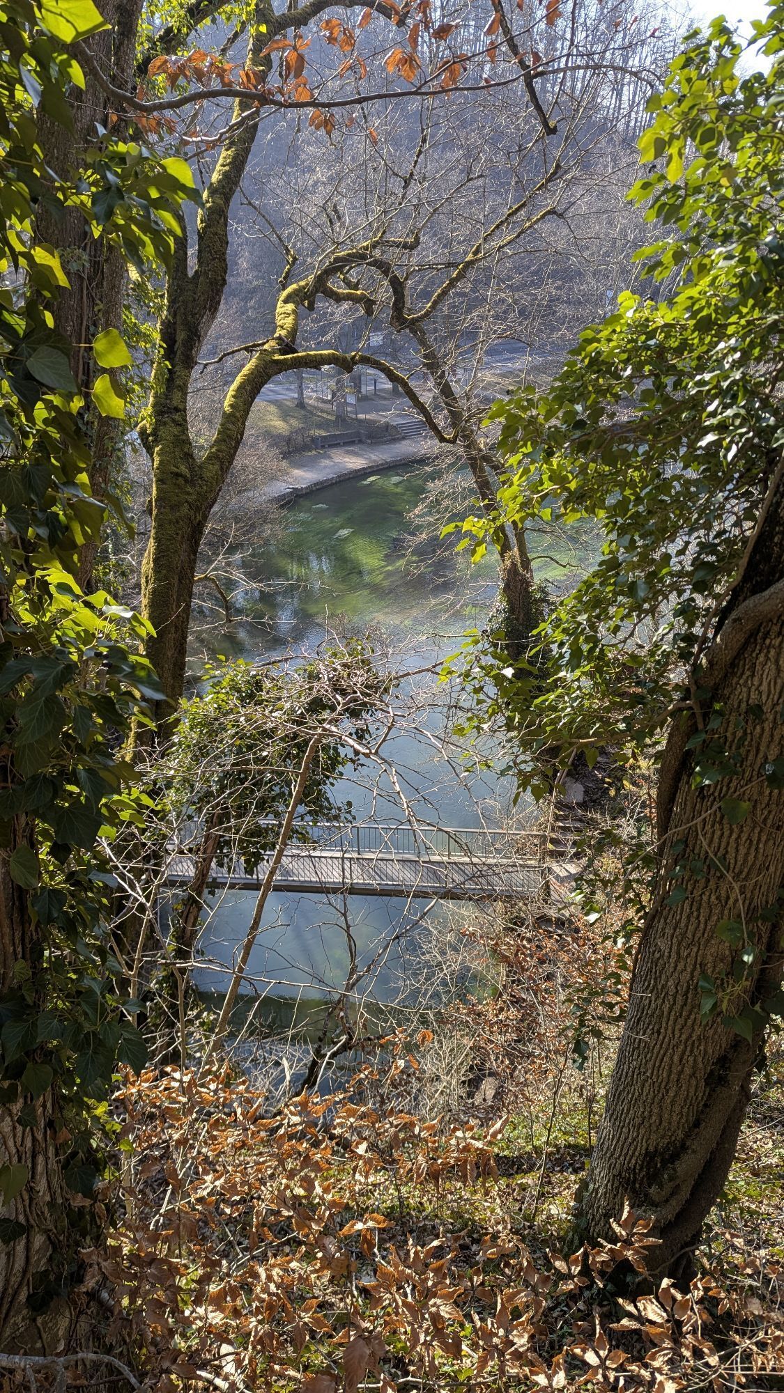
On narrow paths, the way leads downhill through the enormous dolines, huge earth sinkholes in the limestone rock. These dolines are directly connected to the underground cave system of the Aach spring. Downhill towards Aach, the path passes the "Old Tower of Aach." Shortly before the descent down to the Aach spring, another resting place with barbecue facilities awaits the hiker. The starting point of the hike is now only a stone's throw away from here. The second starting point is in the northern area of the circular route in the Wasserburger Valley on the district road.
Attention: in the middle of the path lies the state hunting school. Shooting exercises take place here on Saturdays. Between March and September, other days may also be affected and cause noise disturbances. On these days, the path should be avoided. The current event and shooting schedule can be found at: www.dornsberg-schuetzen.de
Da
Access via A81 and Engen interchange. Continue via the B31 to Aach to the parking lot at the Aach spring.
Regional bus line 400 from Singen.
Parking lot at the Aach spring and at the side portal in the Wasserburger Valley
Attention: in the middle of the path lies the state hunting school. Shooting exercises take place here on Saturdays. Between March and September, other days can also be affected and may lead to noise disturbances. On these days, the path should be avoided. The current event and shooting schedule can be found at: www.dornsberg-schuetzen.de
Place to stop at the Aach spring: Gasthaus Jägermühle (07774/428) beer garden and very good homemade cakes.
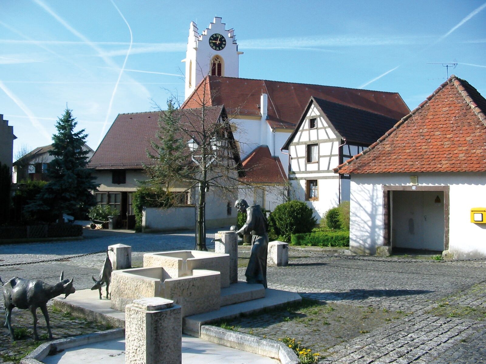
Visit the old town with city gate.

Priljubljeni izleti v okolici
- 5.0
"Hegauer Kegelspiel" Stettener Panoramaweg
srednjaPohodništvo 7.62 km - 3.3
"Hegauer Kegelspiel" Wannenberg hike
srednjaPohodništvo 9.35 km - 5.0
"Hegauer Kegelspiel" Alter Postweg
srednjaPohodništvo 9.26 km - 5.0
Vulkansee Höwenegg Rundweg
svetlobaPohodništvo 7.05 km - 2.8
"Hegauer Kegelspiel" Hewensteig
srednjaPohodništvo 6.23 km - 5.0
"Hegauer Kegelspiel" Hohentwieler
srednjaPohodništvo 7.21 km - 4.0
Homburg-Steig
srednjaPohodništvo 5.83 km - 5.0
Hegau Waterfall Route
srednjaPohodništvo 9.28 km - 5.0
"Hegauer Kegelspiel" Hegau Volcano Tour
težkoPohodništvo 29.2 km Castle trail 1 - From Tengen via Blumenfeld and back via Büßlingen
srednjaPohodništvo 10.1 km
Pohodništvo in sledenje


Ne zamudite ponudb in navdiha za naslednje počitnice
Vaš e-poštni naslov je bil dodan na poštni seznam.