


Castle trail 1 - From Tengen via Blumenfeld and back via Büßlingen
The spa town of Tengen lies in the middle of the Hegau landscape directly on the Swiss border between the Black Forest, Alps, and Lake Constance. Each season gives this idyllic landscape special charms....
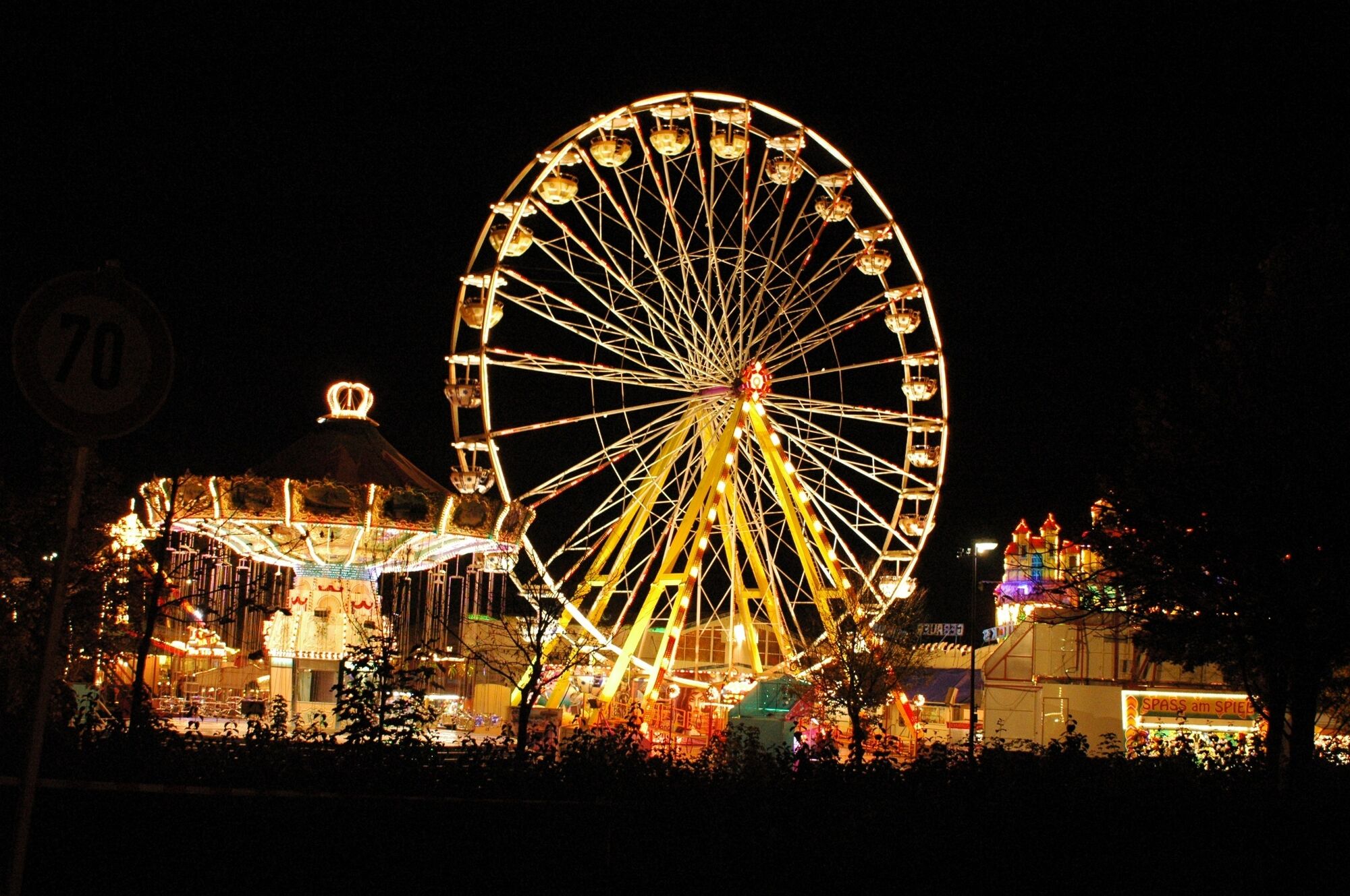
The spa town of Tengen lies in the middle of the Hegau landscape directly on the Swiss border between the Black Forest, Alps, and Lake Constance. Each season gives this idyllic landscape special charms. Hikers enjoy the medieval town structures of the city of Tengen, the path through the wild romantic Mühlbach Gorge with its impressive waterfalls, mill ruins, and water wheels from the Middle Ages. The Schätzele Market also dates back to this time and has now developed into the largest folk festival in the region. The Schätzele Market has existed since 1291 and takes place every year on the last weekend in October.

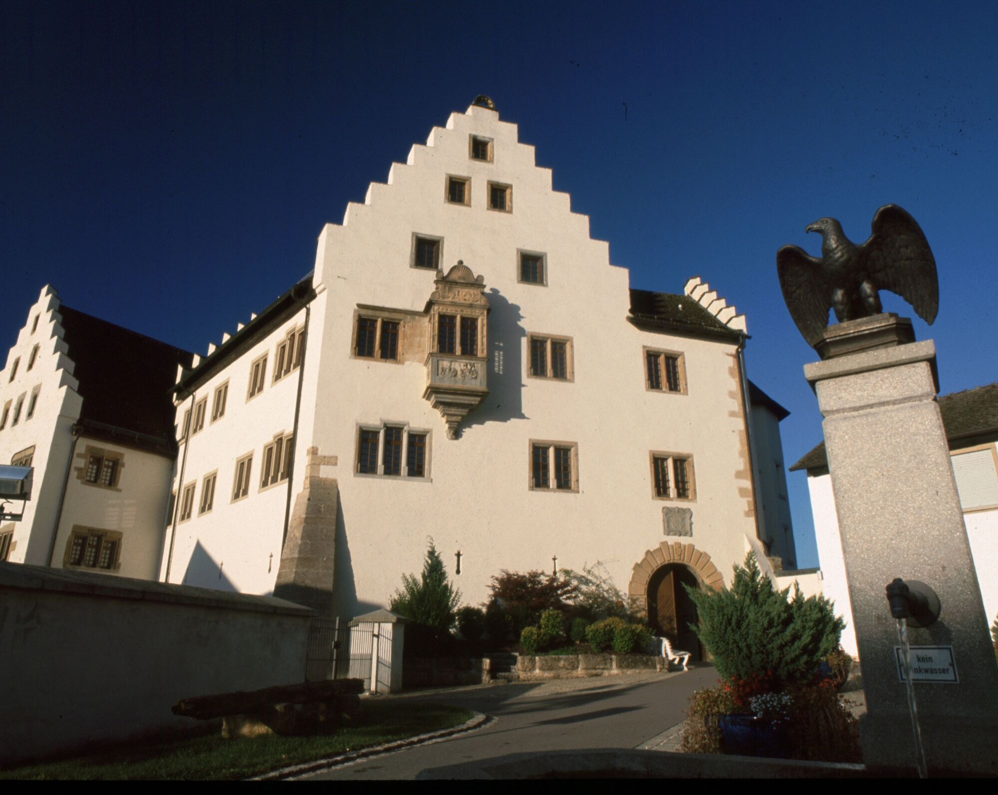
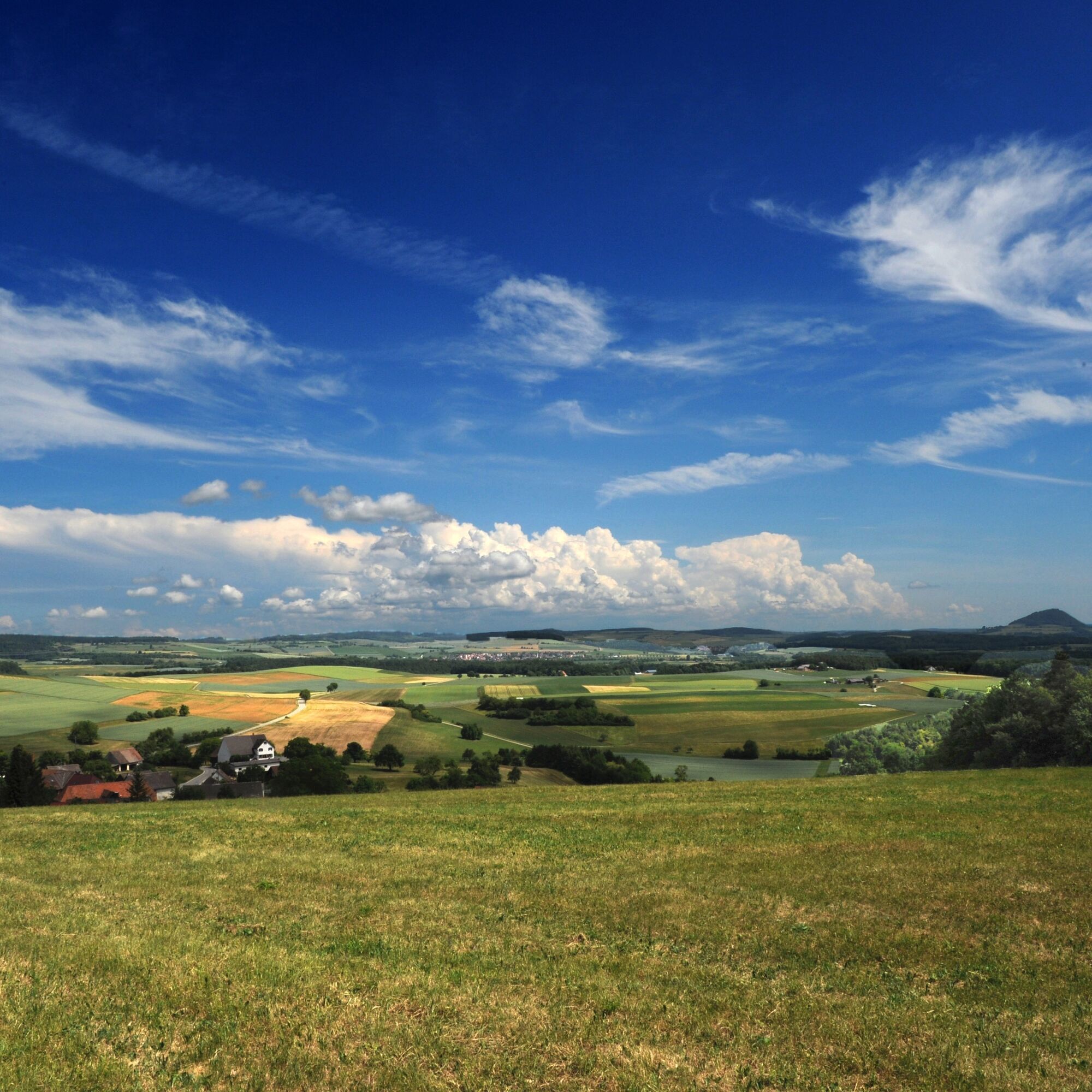
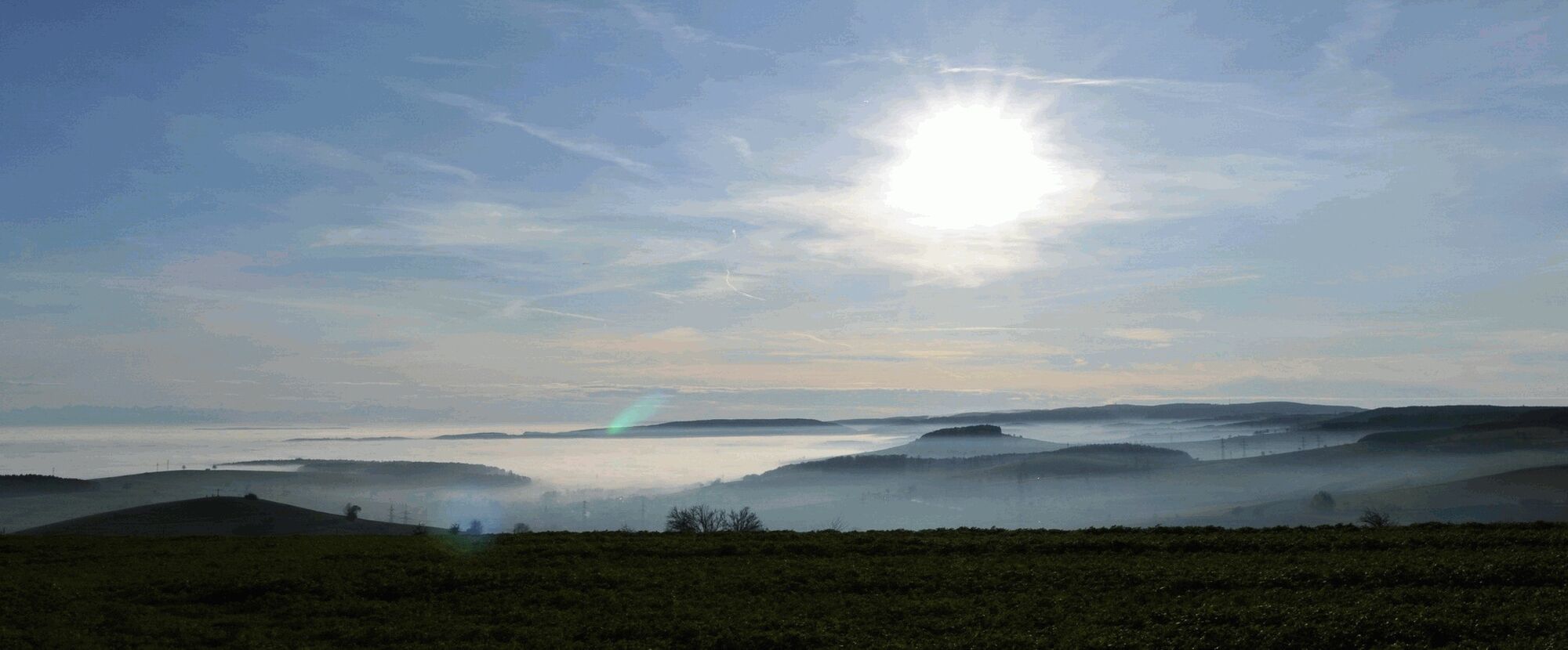
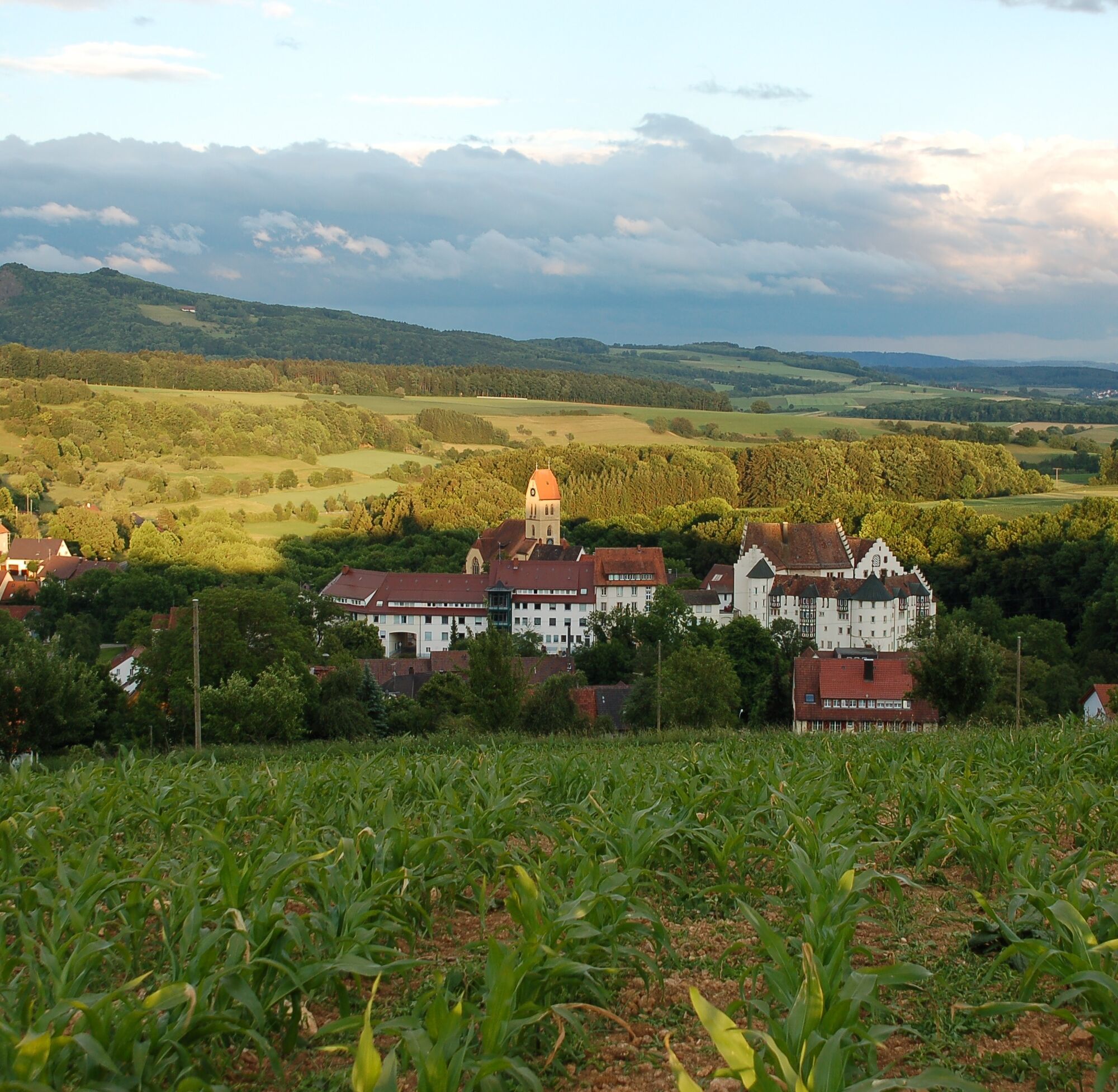
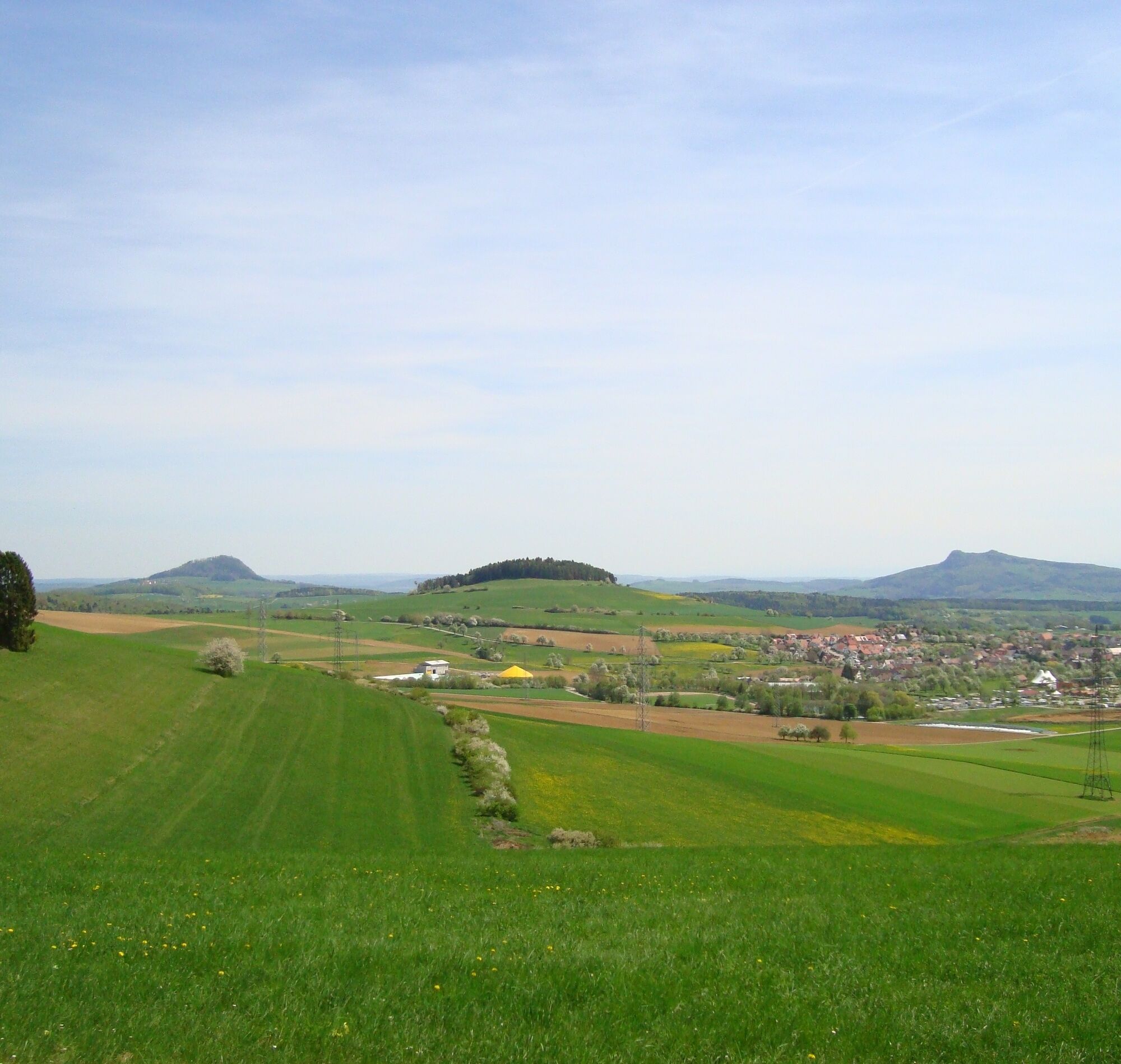
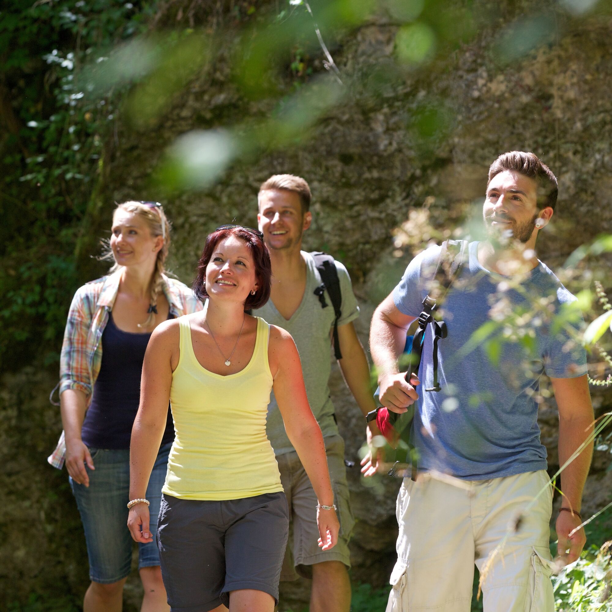

The starting point of our hike is in Tengen (642m) at the festival parking lot. From there, we go through the underpass to the right next to the fire station. After the underpass, we turn right and follow this paved path through the curve until we reach the town entrance. We cross the street to the right and then turn right again. After a short distance, we turn left. At the next junction, we turn right again. At a small forest area, we turn right, then left onto a paved path. We go downhill along this path into the village. Along the way, we have a beautiful view of the town of Blumenfeld (569m). At the third street, we turn right and then left again towards Blumenfeld Castle. At the pedestrian crossing, we cross B314 and arrive in the historic town of Blumenfeld. After the visit, we leave via Torstraße and turn right towards the Bibermühle. Down in the valley, turn left towards the restaurant. Behind the restaurant is the waterfall. In front of the restaurant, head uphill to the right towards the wildlife enclosure. On the paved Biberweg, we turn left. Passing the wildlife enclosure, the path goes downhill for a longer stretch towards Beuren. At the forest edge to the right, a wooden cross is slightly hidden. There, we turn right into a field path, then left onto a meadow path. Then we turn right uphill and then left again. Once at the top, we have a nice view of Hohenstoffeln to the left and the village of Schlatt am Randen in the distance. It is easy to see that the Biber stream and other small waters, which have deeply cut into the Jura deposits, shape the landscape around Tengen and Blumenfeld. The often occurring Randen coarse limestone was formerly quarried in large stone quarries near Blumenfeld and processed into building stones, millstones, and boundary stones. The sufficiently solid, curing, and porous rock is suitable for this, as many old buildings demonstrate. More recent is the facing made of Randen coarse limestone on the outer wall of the vocational school in Singen.
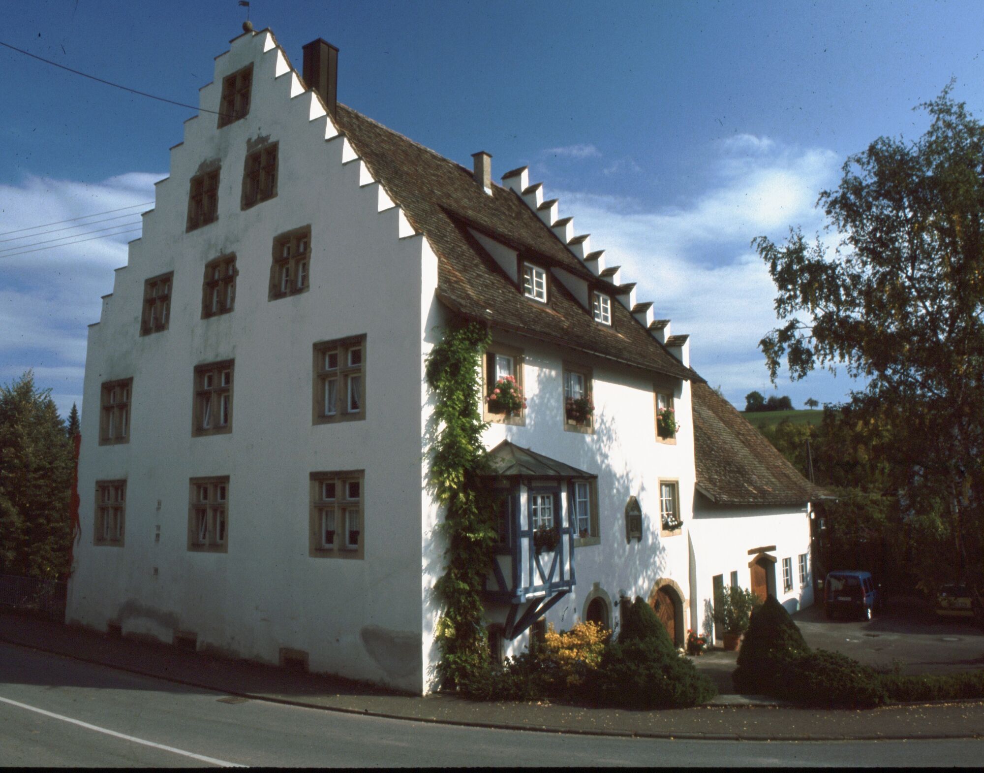
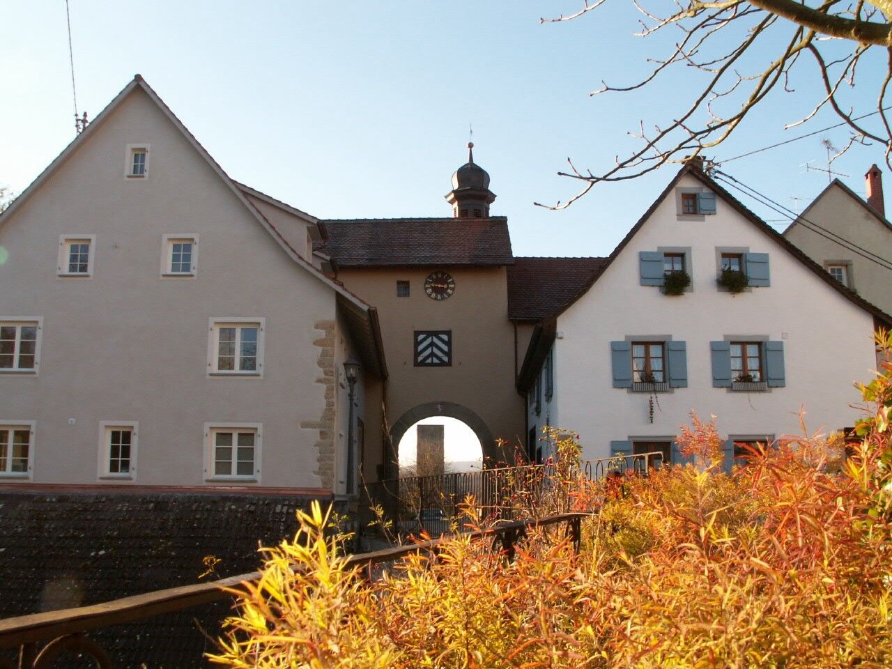
At the top, we turn right and then left again at the transformer house. At the connecting road between Beuren and Büßlingen, turn right. We hike down into the village of Büßlingen (490m) to the Schaffhauserstraße. There, we go right and then again right towards the church. After visiting it, we return to Schaffhauserstraße turning right. At a large intersection, Büßlingen Castle is on the left side. Our hike continues on the opposite side of the street. On Ledergasse, we go uphill. At the cross, we turn left onto the bike path to Tengen. This initially quite steep path leads us back up to the height of Tengen. At the third farmhouse, a paved path leads left directly down to the historic old town of Tengen. After visiting, we go uphill through the city gate to our starting point, the festival parking lot.
Da
Da
Access via highway to the Engen exit. Then head towards Tengen via Watterdingen and straight through the town center towards Tengen to the parking lot at the festival square.
Regional bus lines 7353 and 7360 from Singen or Engen to Tengen
Festival square parking lot
Priljubljeni izleti v okolici
-
5.0
"Hegauer Kegelspiel" Stettener Panoramaweg
srednjaPohodništvo 7.62 km -
4.5
"Hegauer Kegelspiel" Alter Postweg
srednjaPohodništvo 9.26 km -
3.3
"Hegauer Kegelspiel" Wannenberg hike
srednjaPohodništvo 9.35 km -
5.0
Circular hike over the Hinterranden
srednjaPohodništvo 11.0 km -
Circular hike Schaffhausen - Rhine Falls - Schaffhausen
srednjaPohodništvo 10.0 km -
4.5
Nature trail Merishausen: Brown route
srednjaTematska pot 11.4 km -
4.5
SchweizMobil 593: Nordspitze Panoramaweg
srednjaPohodništvo 13.7 km -
2.8
"Hegauer Kegelspiel" Hewensteig
srednjaPohodništvo 6.23 km -
5.0
Vulkansee Höwenegg Rundweg
svetlobaPohodništvo 7.05 km -
5.0
"Hegauer Kegelspiel" Hohentwieler
srednjaPohodništvo 7.21 km
Pohodništvo in sledenje


Ne zamudite ponudb in navdiha za naslednje počitnice
Vaš e-poštni naslov je bil dodan na poštni seznam.