


Forest Romance Route
Stopnja težavnosti: T2
Geislingen is nestled in a magnificent landscape, surrounded by the heights of the Swabian Alb. Helfenstein castle ruin and Ödenturm are attractive hiking destinations and wonderful viewpoints. The historic...
Geislingen is nestled in a magnificent landscape, surrounded by the heights of the Swabian Alb. Helfenstein castle ruin and Ödenturm are attractive hiking destinations and wonderful viewpoints. The historic old town with its half-timbered houses and dreamy corners invites you to discover and linger.
Anyone who wants to appreciate the value of the landscape and the charms of the "five valleys" should take time for one or more hikes around the town: Wonderful viewpoints such as the Ostlandkreuz, the Tegelberg, or the Himmelsfelsen invite you to pause, perhaps also to reflect on the beautiful gifts of creation.
On Geislingen's most natural circular hike, we enjoy untouched nature and silence through wildly romantic valleys and forests.
City of Geislingen an der Steige - Info point at the Old Customs
Hauptstrasse 24 | 73312 Geislingen an der Steige
07331 24 279 | infopunkt@geislingen.de | www.geislingen.de

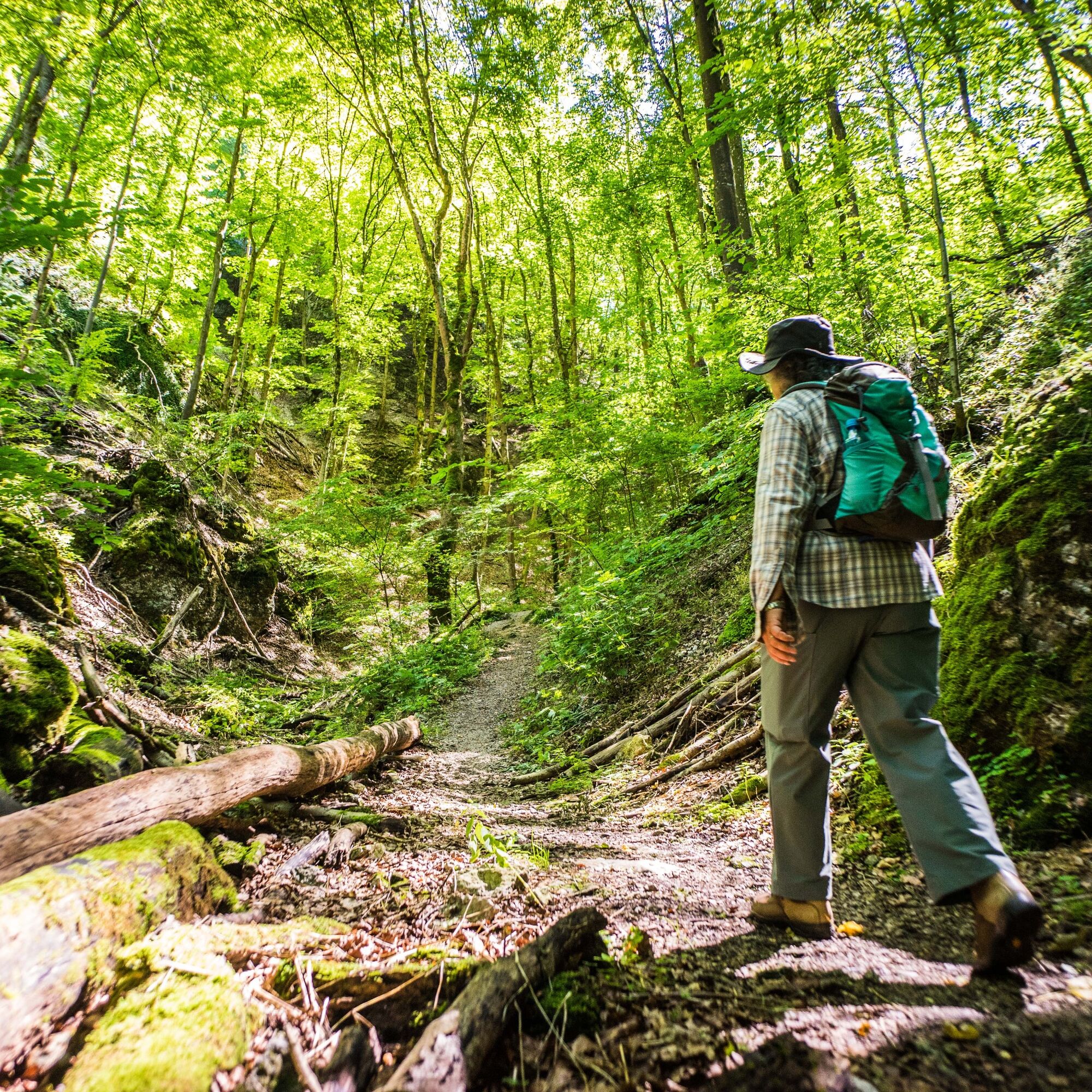
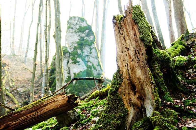
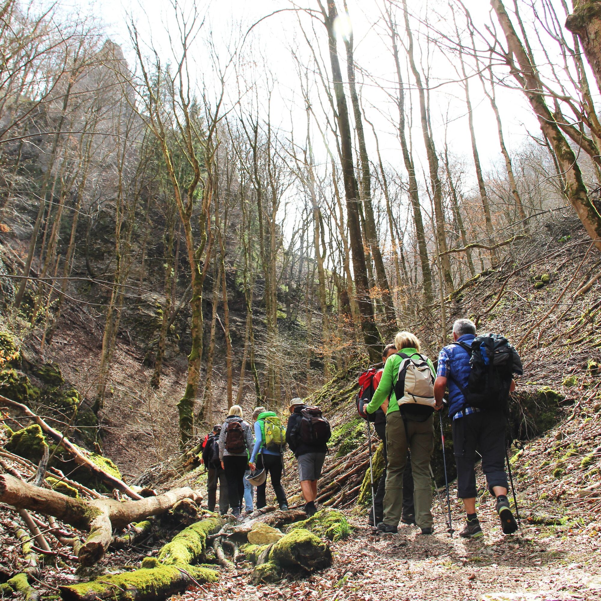

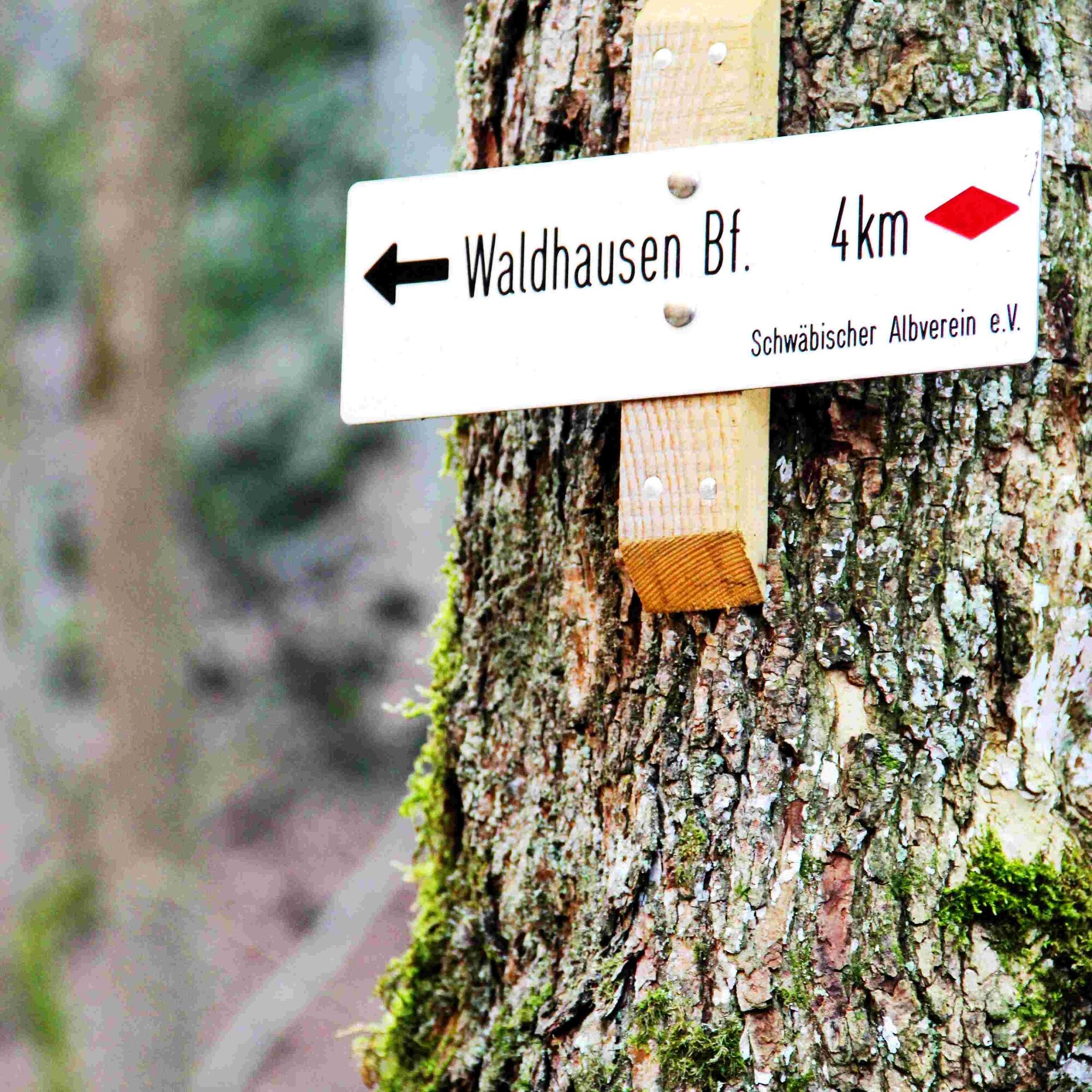
From the hiking car park at the entrance of the Felsental, we cross Eybach eastwards towards Magental. After a short stretch along the road, it continues through the forest eastwards through the idyllic Roggental up to the entrance of the Magental. There we hike straight towards Waldhausen and gently uphill through the romantic Magental with its distinctive rock formations. Once on the Alb plateau, we keep right always heading towards Waldhausen and pass through the charming village with its rustic places to stop. From Waldhausen, we initially follow a bit of the local railway line - the return route towards Felsental, which delights with its silence and naturalness in every season.
In Eybach, we have reached our starting point at the Felsental hiking car park.
Wear sturdy, non-slip footwear and weather-appropriate clothing. A backpack with water, snacks, and a first aid kit is recommended.
The two wildly romantic valleys Magental and Felsental can only be walked with good surefootedness in wet weather but always surprise with their idyll and fantastic atmosphere.
You can reach the starting point of the route in Geislingen an der Steige by car via the A8, Stuttgart - Ulm, Mühlhausen exit (B 466) or Merklingen exit (L 1230) towards Geislingen an der Steige.
Alternatively, access is also possible via the B10, exit in Geislingen an der Steige towards Eybach / Längental.
Take RE 5 and MEX 16 from Stuttgart or Ulm to Geislingen/Steige station. From there, take lines 958 and 959 to the stop "Eybach, Eybtalhalle." From there, it is only about a 5-minute walk to reach the start of the route.
The circular timetable can be found at: www.vvs.de/fahrplan
Felsental hiking car park in Eybach signposted from the local bypass road
T2
Respectful coexistence in Göppingen district.
Code of conduct:
Respect trail closures and the quiet zones developed in the recreational path concept. Leave no traces such as litter or animal droppings; treat your path with care. Act thoughtfully and considerately. Adapt your behavior to the situation. Safety comes first. Respect other users of forest and countryside. Be considerate of animals and plants. Plan ahead and use daylight. Try to avoid dawn and dusk. Observe the prohibition on entering agriculturally used land during the growing season. Stay on the designated paths and avoid forest edges so that wildlife can better get used to humans.More information at ruecksicht-macht-wege-breiter.de
Eybach Castle is a castle built by Count August Christoph von Degenfeld-Schonburg. Originally, a castle stood on the Himmelsfelsen above Eybach. The Hohenaybach Castle was destroyed during the 18th century. Today, only a few remains testify to the former castle. The castle in the valley served as a replacement for the castle.
Priljubljeni izleti v okolici
-
4.5
Löwenpfad "Orchideenpfad" - Herbs, Pasqueflower and Juniper Heathlands
srednjaPohodništvo 9.33 km -
5.0
Löwenpfad "Heldentour" - The king stage of the Löwenpfade
težkoPohodništvo 23.6 km -
4.4
Löwenpfad "Geislinger Felsen-Tour" - up and down through the Eybach valley
srednjaPohodništvo 10.8 km -
4.5
Löwenpfad "Weitblick-Tour" - High up and far-reaching view
težkoPohodništvo 12.0 km -
4.7
Löwenpfad "Filstalgucker" - views from the heart of the Filstal valley
srednjaPohodništvo 13.0 km -
3.7
Löwenpfad "Wasserberg-Runde" - pure panorama and typical Swabian Jura landscapes
težkoPohodništvo 12.0 km -
3.5
Lion trail "Messelberg tour" - hiking with impressive views
srednjaPohodništvo 7.72 km -
4.3
Lion Trail "Steigen Tour" - Along the Swabian construction of the century
težkoPohodništvo 16.1 km -
3.8
Lion trail "Ave-Weg" - A touch of pilgrimage on the Albtrauf
srednjaPohodništvo 8.65 km -
1.0
Nordalbrunde
srednjaPohodništvo 4.76 km

Pohodništvo in sledenje


Ne zamudite ponudb in navdiha za naslednje počitnice
Vaš e-poštni naslov je bil dodan na poštni seznam.