







Löwenpfad "Geislinger Felsen-Tour" - up and down through the Eybach valley

Stopnja težavnosti: T2
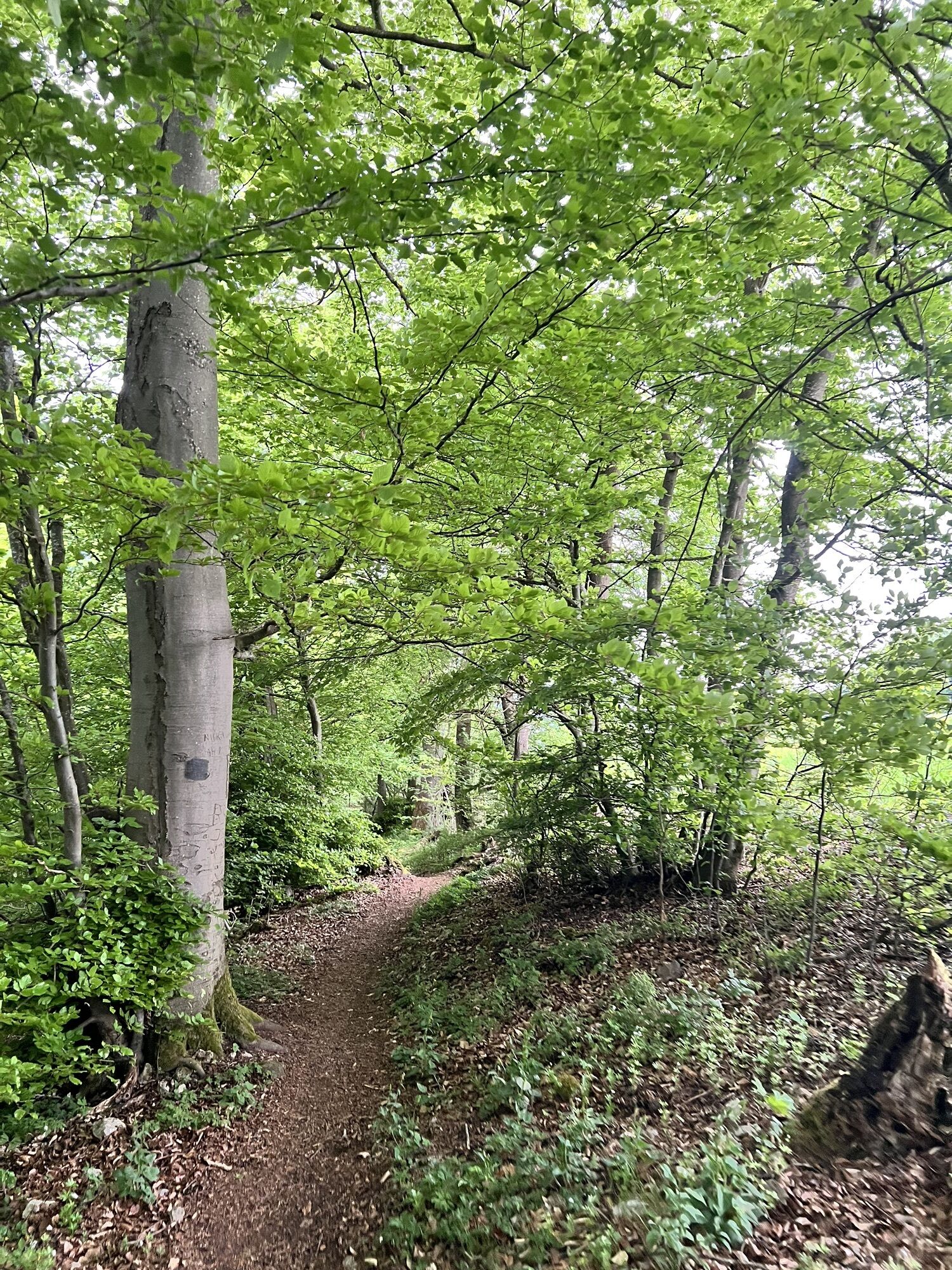
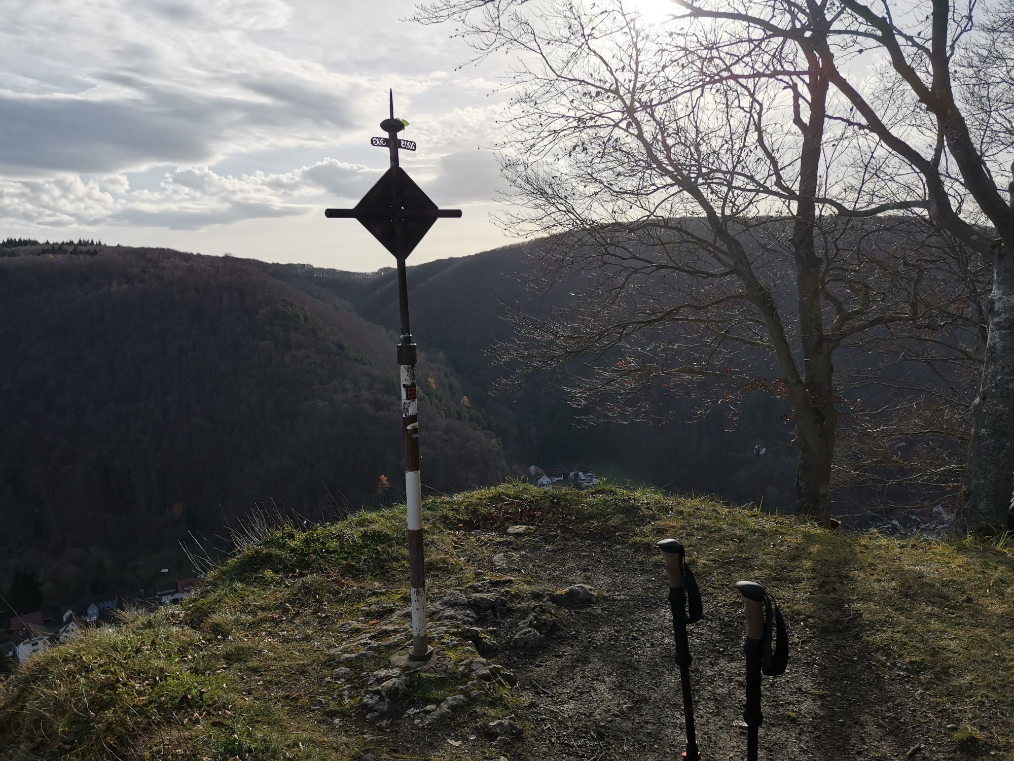
You can follow in the footsteps of the lion in the district of Göppingen: The lion trails stand for hiking with quality standards and entice you with impressive views, varied natural landscapes and mysterious...
You can follow in the footsteps of the lion in the district of Göppingen: The lion trails stand for hiking with quality standards and entice you with impressive views, varied natural landscapes and mysterious places. Sixteen circular hiking trails, between 3 and 24 kilometers long, offer hiking fun for almost every taste.
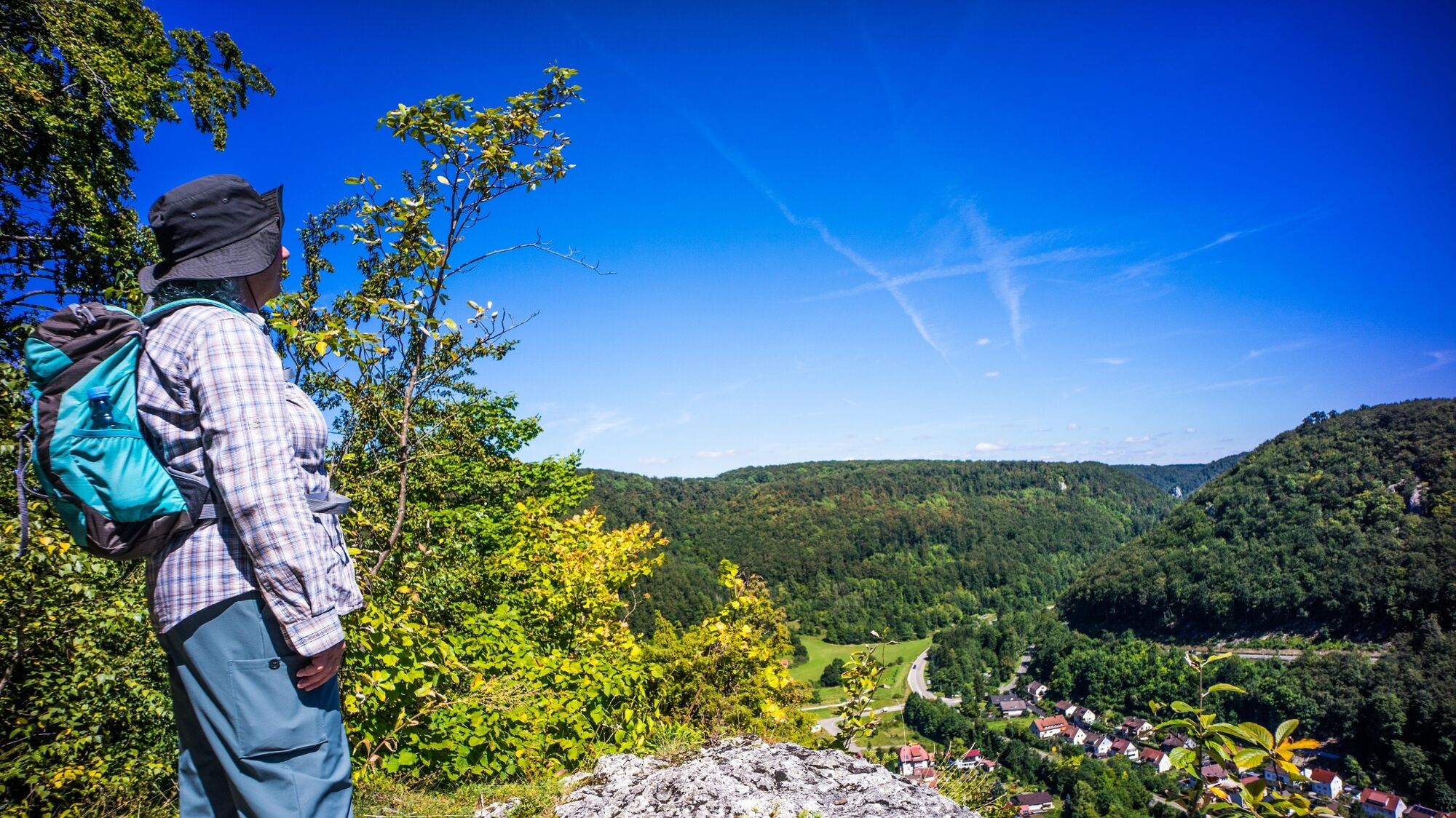
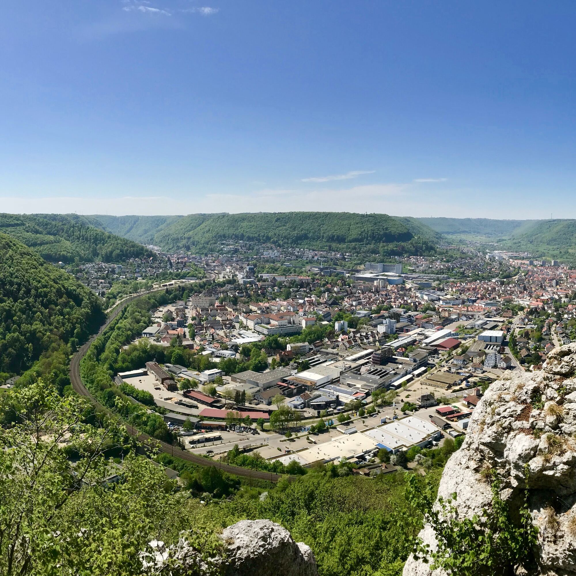
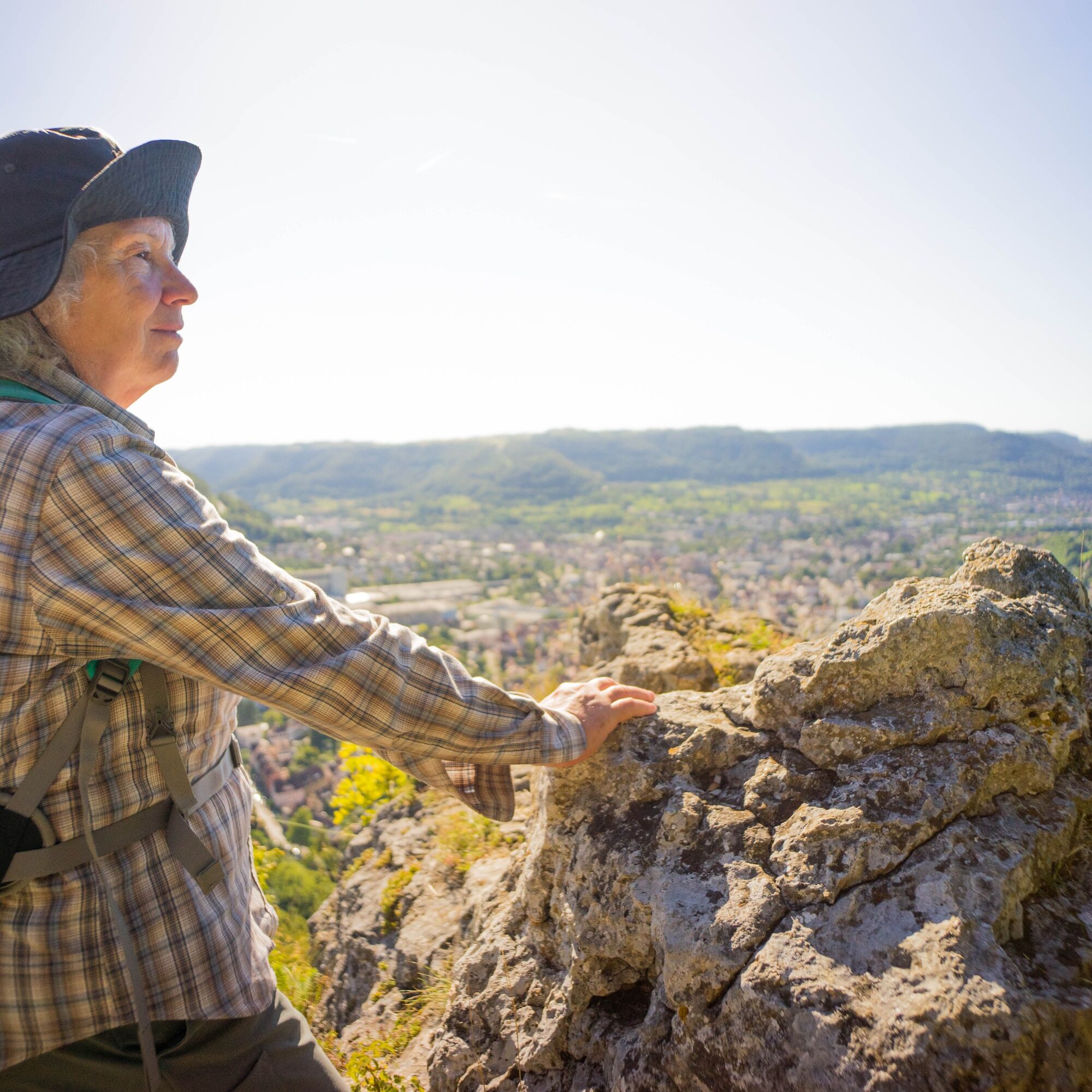
The "Geislinger Felsen-Tour" lion trail in the district of Eybach is a circular trail certified by the German Hiking Association in the "dream tour" category. The approximately 10.3-kilometre-long and sporty hike starts at the parking lot at the SC grounds in Geislingen. You follow the steep zig-zag path up to the Anwandfelsen and are rewarded with a fantastic panoramic view over the town of Geislingen an der Steige. The trail then continues along the Trauf in the direction of Himmelsfelsen, the landmark of Eybach with wonderful views of the valley.
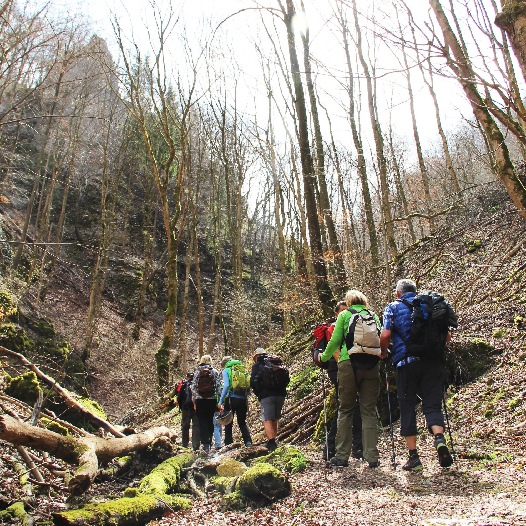
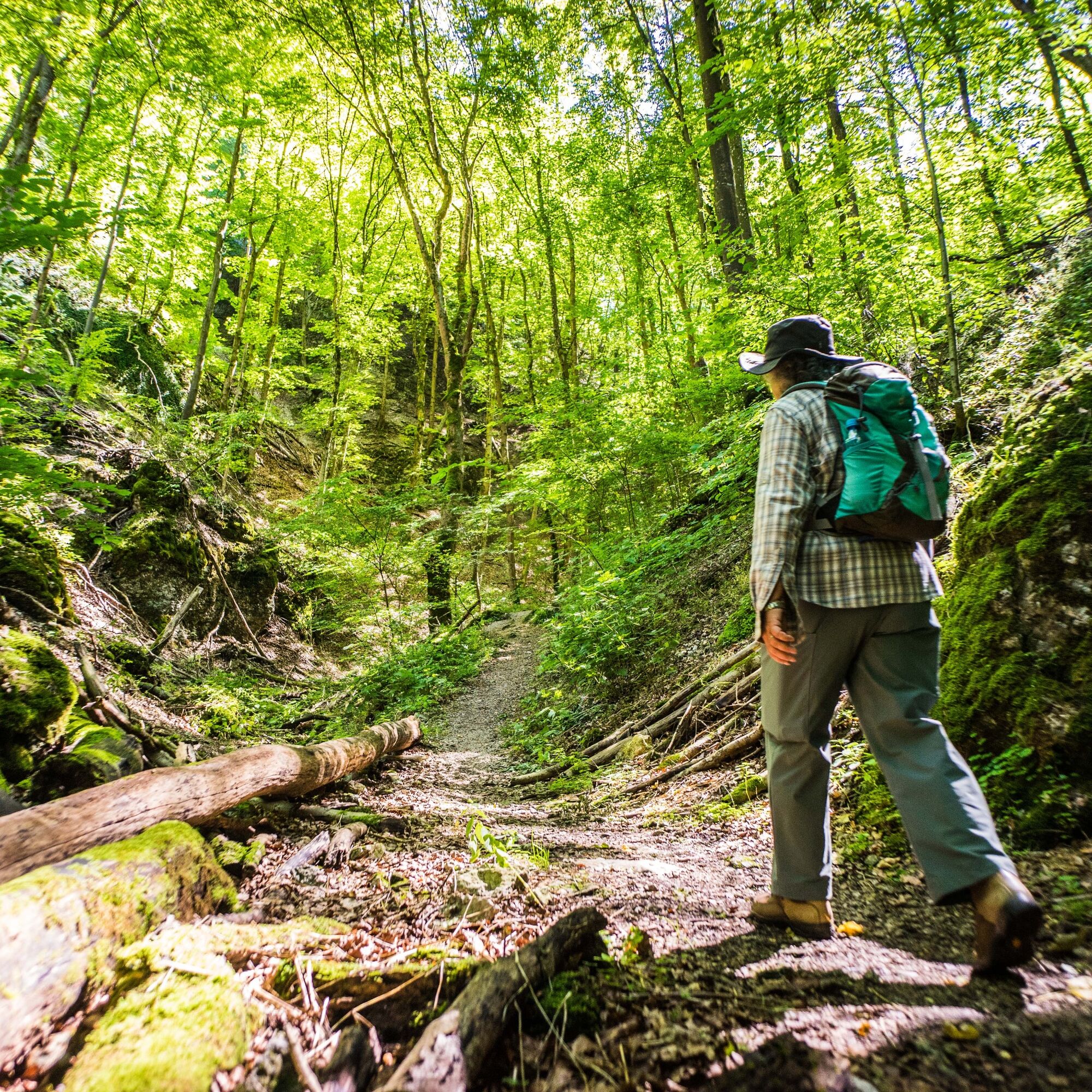
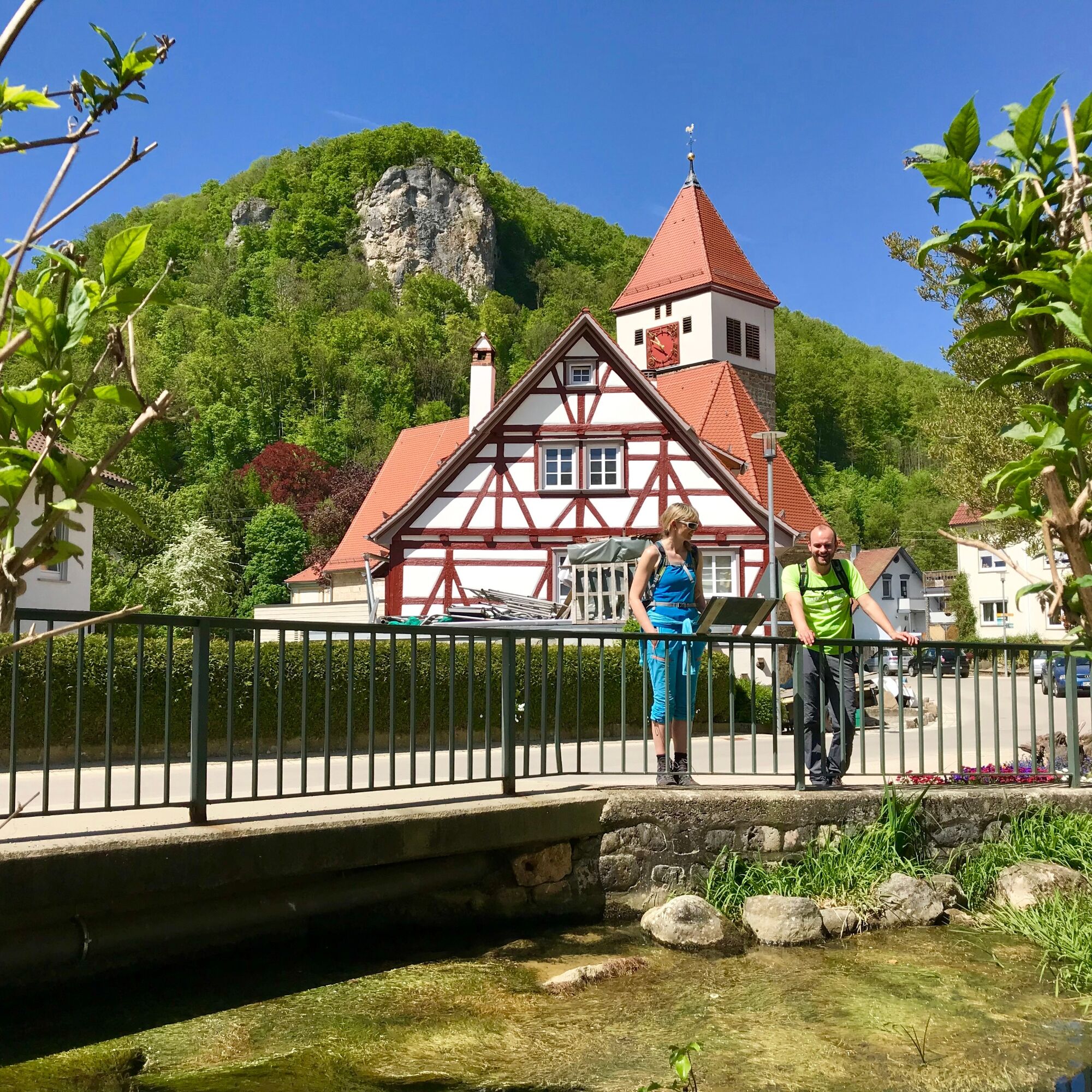
The route continues along the forest path downhill to Eybach. Through the charming and idyllic village center you reach the parking lot at the end of Felsentalstraße. The route continues slightly uphill through the wildly romantic Felsental valley. After the striking steps by the rock formations, the path branches off to the right towards the village of Weiler. Once on the Alb plateau, the trail continues along the Albtrauf to the Bismarckfelsen rock. From there, you walk downhill on a narrow zigzag path towards Geislingen an der Steige back to the starting point.
More information at loewenpfade.de

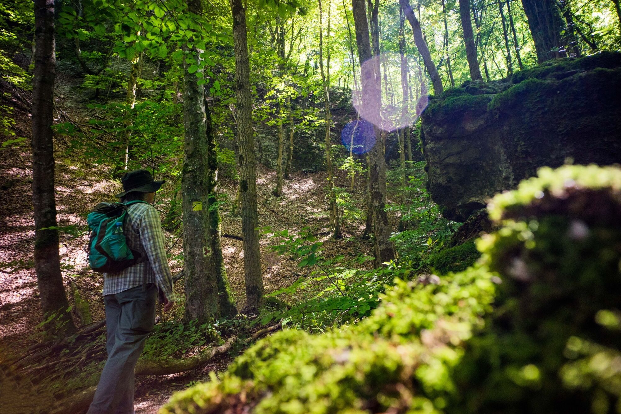
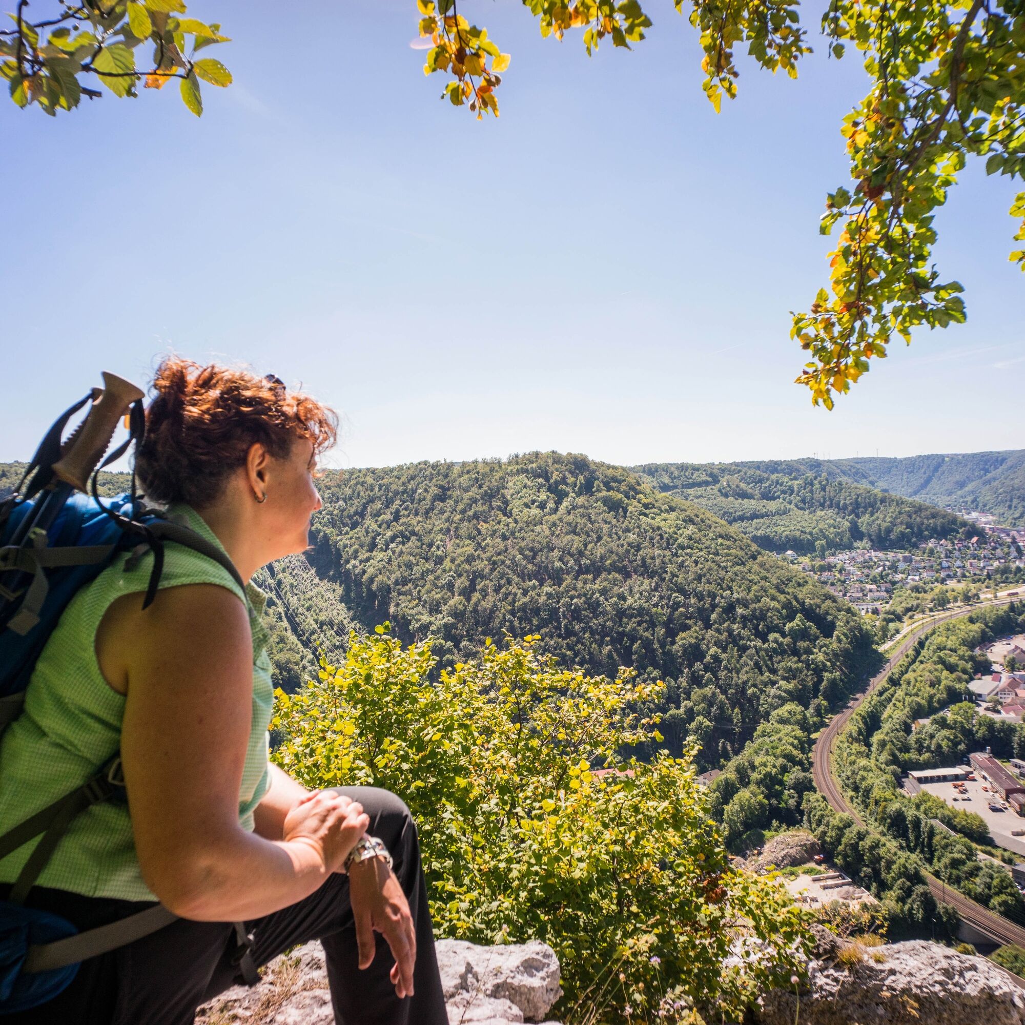

From the SC parking lot in Eybacher Tal, cross the road towards Stötten and immediately turn left again towards the forest.
Follow the steep zig-zag path up to Anwandfelsen and you will be rewarded with a fantastic panoramic view over the town of Geislingen an der Steige. The trail then continues along the Trauf in the direction of Himmelsfelsen, the landmark of Eybach, with wonderful views of the valley.
The route continues along the forest path downhill to Eybach. Through the charming and idyllic village center you reach the parking lot at the end of Felsentalstraße. The route continues slightly uphill through the wildly romantic Felsental valley. After the striking steps by the rock formations, the path branches off to the right towards the village of Weiler. Once on the Alb plateau, the trail continues along the Albtrauf to the Bismarckfelsen rock. From there, you walk downhill on a narrow zigzag path towards Geislingen an der Steige back to the starting point.
Da
Non-slip footwear is recommended.
Some paths can be slippery and dangerous when wet. Watch your steps and use walking poles for stability if necessary.
You can reach the starting point of the tour in Geislingen an der Steige by car via the A8, Stuttgart - Ulm, exit Mühlhausen (B 466) or exit Merklingen (L 1230) in the direction of Geislingen an der Steige.
Alternatively, you can also take the B10, exit in Geislingen an der Steige in the direction of Eybach / Längental.
Navigation to the starting point with Google Maps
In Geislingen/ Steige there is a connection to the MEX and RE trains of the Filstalbahn on the Stuttgart-Ulm line. From Geislingen ZOB, take the 950 bus to the "Eisenbahnbrücke" stop or the 958 bus to the "Geisl. (St) SC-Stadion". From there it is about a 2-minute walk to the starting point at the SC-Geislingen hiking parking lot. Alternatively, it is approx. 20 minutes on foot from Geislingen/Steige station to the starting point.
You can find the district timetable at www.vvs.de/fahrplan
Parking at the start/end point at the SC Geislingen sports ground
Da
T2
Respectful cooperation in the district of Göppingen
Code of conduct:
Respect trail closures and the quiet zones developed in the leisure trail concept. Leave no traces such as garbage and animal droppings, treat your path with care. Act with foresight and consideration. Adapt your behavior to the situation at hand. Safety first. Respect other users of the forest and meadows. Be considerate of animals and plants. Plan ahead and make the most of daylight. Try to avoid dusk in the morning and evening. Observe the ban on entering agricultural land during the growing season. Stay on the designated paths and avoid the edges of the forest so that wild animals can get used to people better.More information at ruecksicht-macht-wege-breiter.de
Sky rock
Located at an altitude of 609 m, Himmelsfelsen is the striking landmark of Eybach and characterizes the Eybach valley. A castle stood on the rock from the 13th to the 18th century. The Knights of Eybach are known to have been the first inhabitants. The last to live there were tenants belonging to the Degenfeld family. The Degenfelds themselves had already built their castle at the foot of the rock in Eybach from 1540-1546.
The 65 m high steep face of the Himmelsfelsen was first conquered in 1934 by two climbers from Stuttgart. The rocks are now closed to climbing for nature conservation reasons.
Eybtal nature reserve
The nature reserve "Eybtal with parts of the Längen- and Rohrachtal" is the largest nature reserve in the administrative district of Stuttgart, covering over 1,300 hectares. A large part of it is located in the Geislingen district and contains impressive treasures: 20 striking White Jurassic cliffs, near-natural forest stands, numerous ravine forests and ravines, springs, streams and orchards as well as 400 animal and plant species, some of which are on the Red List of endangered species. The wild and romantic rocky valley is impressive at any time of year.
Geislingen an der Steige:
Geislingen an der Steige is beautifully nestled in the landscape of the Swabian Albtrauf adventure region. See for yourself on a hike and experience Geislingen's most popular viewpoints such as the Helfenstein castle ruins, Ödenturm tower, Ostlandkreuz cross and numerous striking rock formations. The green five-valley town with the largest nature reserve in the Stuttgart region invites you to discover it from all perspectives. A stroll through the pedestrian zone and the dreamy corners of the historic old town as well as a stop for a bite to eat will bring your active day of hiking to a leisurely close. And if you want to go bargain hunting in the outlet after your hiking experience, irresistible bargains await you all year round in the factory outlets around the WMF-Fischhalle.


Priljubljeni izleti v okolici
- 4.5
Lion Trail "Orchid Trail" - Herbs, pasqueflowers, and juniper heaths
srednjaPohodništvo 9.33 km - 5.0
Lion Trail "Heroes' Tour" — The Crowning Stage of the Lion Trails
težkoPohodništvo 23.6 km - 4.5
Lion Trail "Far-Sighted Tour" — High Up and Looking Far Ahead
težkoPohodništvo 12.0 km - 4.7
Löwenpfad "Filstalgucker" - views from the heart of the Filstal valley
srednjaPohodništvo 13.0 km - 3.7
Löwenpfad "Wasserberg-Runde" - pure panorama and typical Swabian Jura landscapes
težkoPohodništvo 12.0 km - 3.7
Three Emperors' Mountains Loop Hike
težkoPohodništvo 25.8 km - 4.3
Löwenpfad "Steigen Tour" - Along the Swabian Landmark of the Century
težkoPohodništvo 17.3 km - 3.5
Löwenpfad "Messelberg Tour" - Hiking with Stunning Views
srednjaPohodništvo 7.72 km - 3.8
Lion trail "Ave-Weg" - A touch of pilgrimage on the Albtrauf
srednjaPohodništvo 8.65 km Löwenpfad "Höhenrunde" - Hiltenburg and the Albtrauf in its purest form
srednjaPohodništvo 10.7 km
Pohodništvo in sledenje


Ne zamudite ponudb in navdiha za naslednje počitnice
Vaš e-poštni naslov je bil dodan na poštni seznam.





