


Nortelweg
Stopnja težavnosti: T2
Bad Ditzenbach (509 - 752 meters above sea level) is located in one of the most beautiful valleys of the Swabian Alb, in the Upper Fils Valley, popularly known as the Goißa Valley.
As a state-approved...
As a state-approved spa, Bad Ditzenbach can look back on a long tradition with its healing springs. It was mentioned in documents as early as 1560. Bad Ditzenbach has a lot to offer those seeking relaxation. The Vinzenz Therme with its 35° C warm thermal mineral movement and exercise pool offers every opportunity to relax and recharge your batteries. The Vinzenz Klinik - Rehaklinik offers a wide range of treatments: Whether exercise therapy, massages, fango etc. All for the benefit of our guests.
The unspoilt countryside invites you to go for walks and hikes, where you can enjoy wonderful views of the hills of the Swabian Alb or the idyllic Filstal valley. Sports enthusiasts will also get their money's worth, whether Nordic walking or cycling on designated cycle routes in the surrounding area. There is something for everyone.
Bad Ditzenbach tourist office
Helfensteinstraße 20 | 73342 Bad Ditzenbach
07334 6911 | touristinfo@badditzenbach.de | www.badditzenbach.de

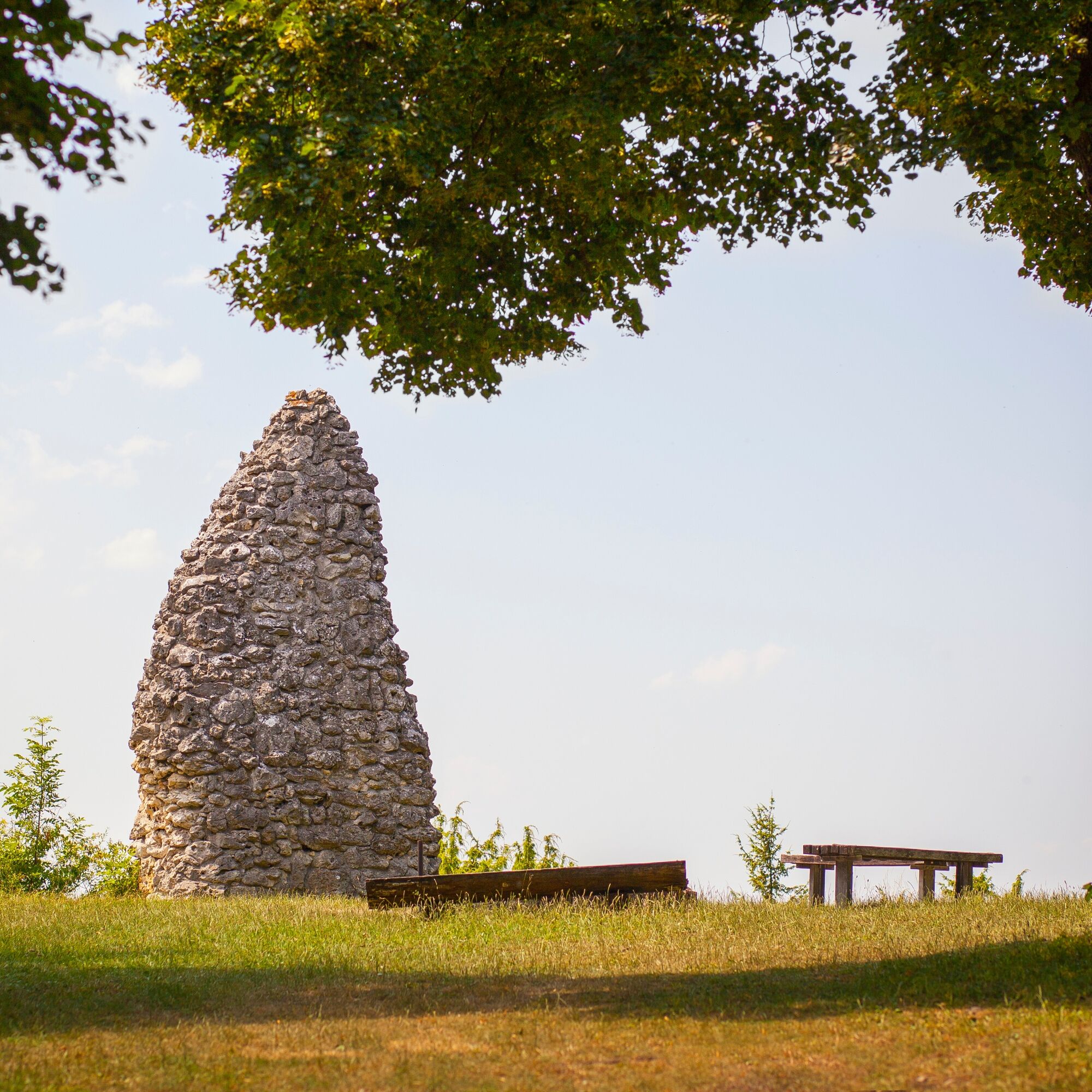
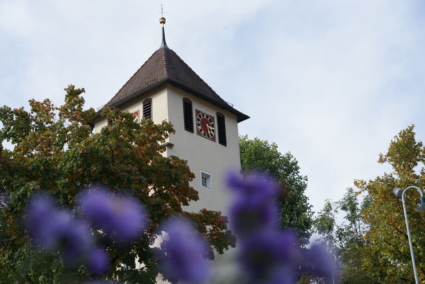
We continue our hike on well-maintained field paths towards Auendorf and cross the picturesque village, passing the Protestant Stephanuskirche church. We then follow partly paved and gravel paths that lead us back up to Nortel and the glider airfield. From there, we walk along the edge of the forest, crossing the road, until we finally return to the starting point.
Wear sturdy, non-slip shoes and clothing suitable for the weather. A rucksack with water, snacks and a first aid kit is recommended.
Some paths can be slippery and dangerous when wet. Watch your steps and use walking poles for stability if necessary.
Bad Ditzenbach can be reached by car via the A8, Stuttgart - Ulm, exit Mühlhausen in the direction of Geislingen an der Steige (B 466) or via the B10, exit in Geislingen an der Steige in the direction of Bad Ditzenbach.
Take the 981 bus to the "Kornbergsattel" stop or the 982 bus to "Auendorf Volksbank". From the Kornbergsattel bus stop, it is a 40-minute walk to the starting point. However, you can already join part of the tour at this point.
From the "Auendorf Volksbank" stop, it is a 20-minute walk to the starting point of the tour. However, you can also join the circular walk here.
You can find the district timetable at www.vvs.de/fahrplan
Parking spaces at the Fuchsecksattel
T2
Code of conduct:
Respect trail closures and the quiet zones developed in the leisure trail concept. Leave no traces such as garbage and animal droppings, treat your path with care. Act with foresight and consideration. Adapt your behavior to the situation at hand. Safety first. Respect other users of the forest and meadows. Be considerate of animals and plants. Plan ahead and make the most of daylight. Try to avoid dusk in the morning and evening. Observe the ban on entering agricultural land during the growing season. Stay on the designated paths and avoid the edges of the forest so that wild animals can get used to people better.More information at ruecksicht-macht-wege-breiter.de
The Auendorf Hägenmark Trail takes you into the world of rosehip jam production. The interesting story - how a village specialized in the production of "Hägenmark" - and lots of information about the wild rose can be found on a 2 km circular trail at a total of six stations. The trail leads along the juniper heath typical of the region with views of the wild roses and juniper bushes. There are wonderful views and on some days you can even spot sheep, the landscape managers of the heath.
Priljubljeni izleti v okolici
- 4,5
Löwenpfad "Orchideenpfad" - Herbs, Pasqueflower and Juniper Heathlands
srednjaPohodništvo 9,33 km - 4,8
Löwenpfad "Filsursprung-Runde" - pure nature around the Reußenstein
srednjaPohodništvo 14,1 km - 5,0
Lion trail "Berta-Hörnle-Tour" - castle stories in a dreamlike setting
težkoPohodništvo 14,7 km - 4,4
Löwenpfad "Geislinger Felsen-Tour" - up and down through the Eybach valley
srednjaPohodništvo 10,8 km - 4,5
Löwenpfad "Weitblick-Tour" - High up and far-reaching view
težkoPohodništvo 12,0 km - 4,7
Löwenpfad "Filstalgucker" - views from the heart of the Filstal valley
srednjaPohodništvo 13,0 km - 5,0
Boßler circuit
srednjaPohodništvo 8,59 km - 3,7
Löwenpfad "Wasserberg-Runde" - pure panorama and typical Swabian Jura landscapes
težkoPohodništvo 12,0 km - 3,5
Lion trail "Messelberg tour" - hiking with impressive views
srednjaPohodništvo 7,72 km - 4,3
Lion Trail "Steigen Tour" - Along the Swabian construction of the century
težkoPohodništvo 16,1 km

Pohodništvo in sledenje


Ne zamudite ponudb in navdiha za naslednje počitnice
Vaš e-poštni naslov je bil dodan na poštni seznam.