



Hohenstein-Tegelberg-Kuchalb

Stopnja težavnosti: T2
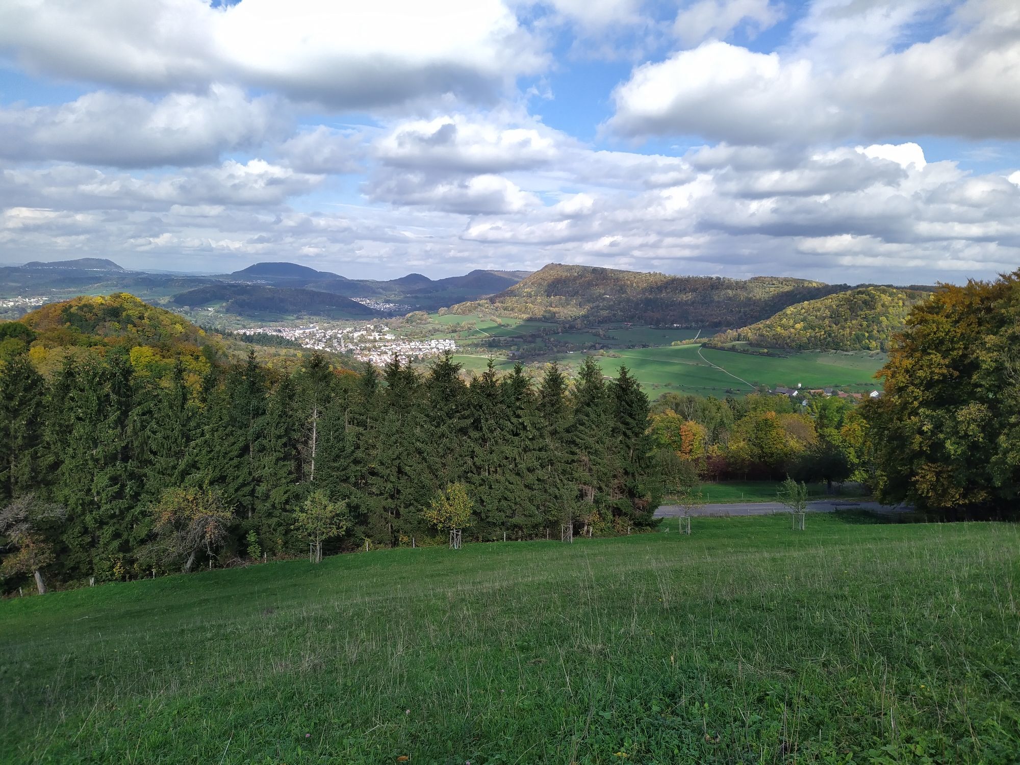
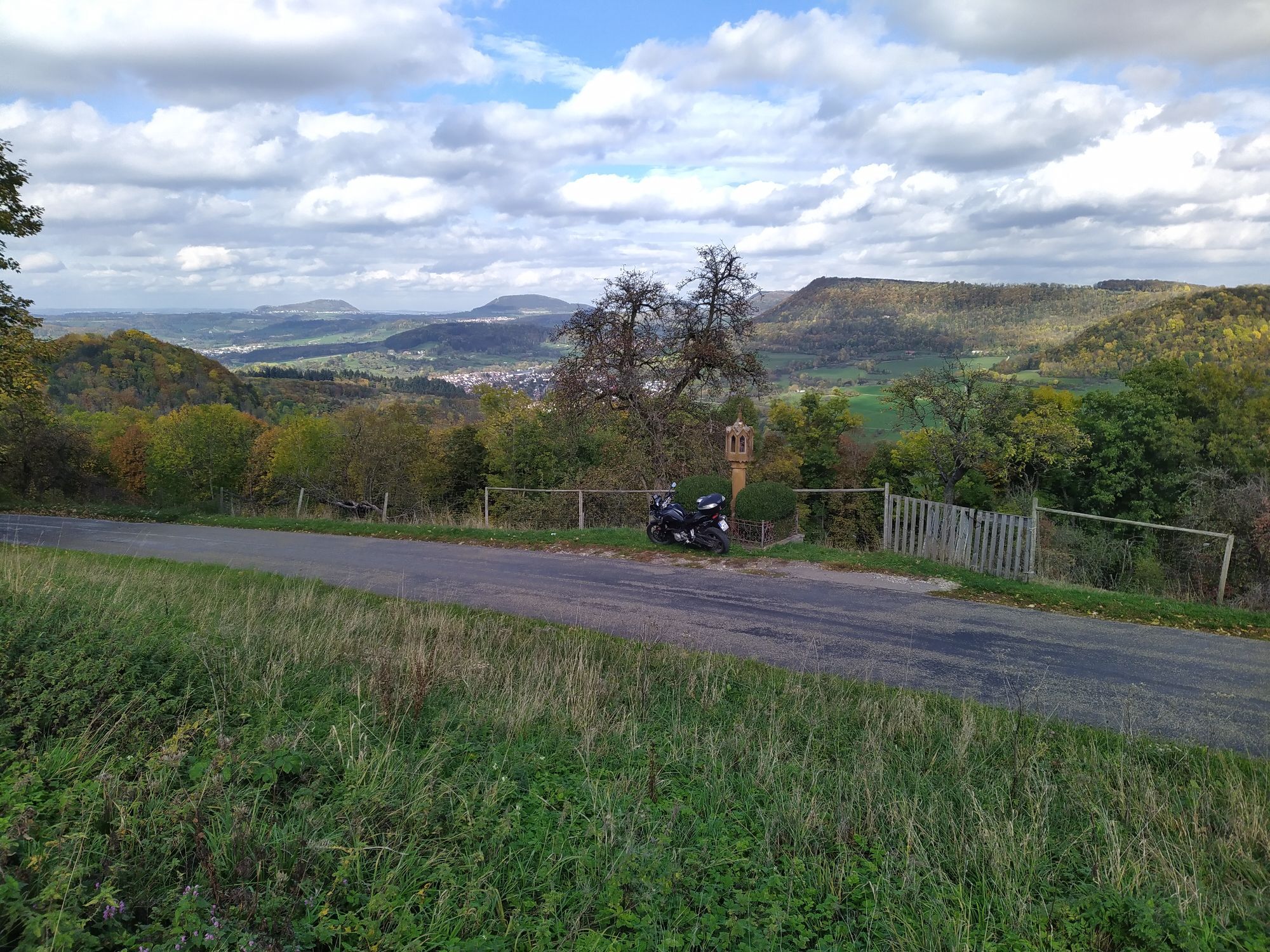
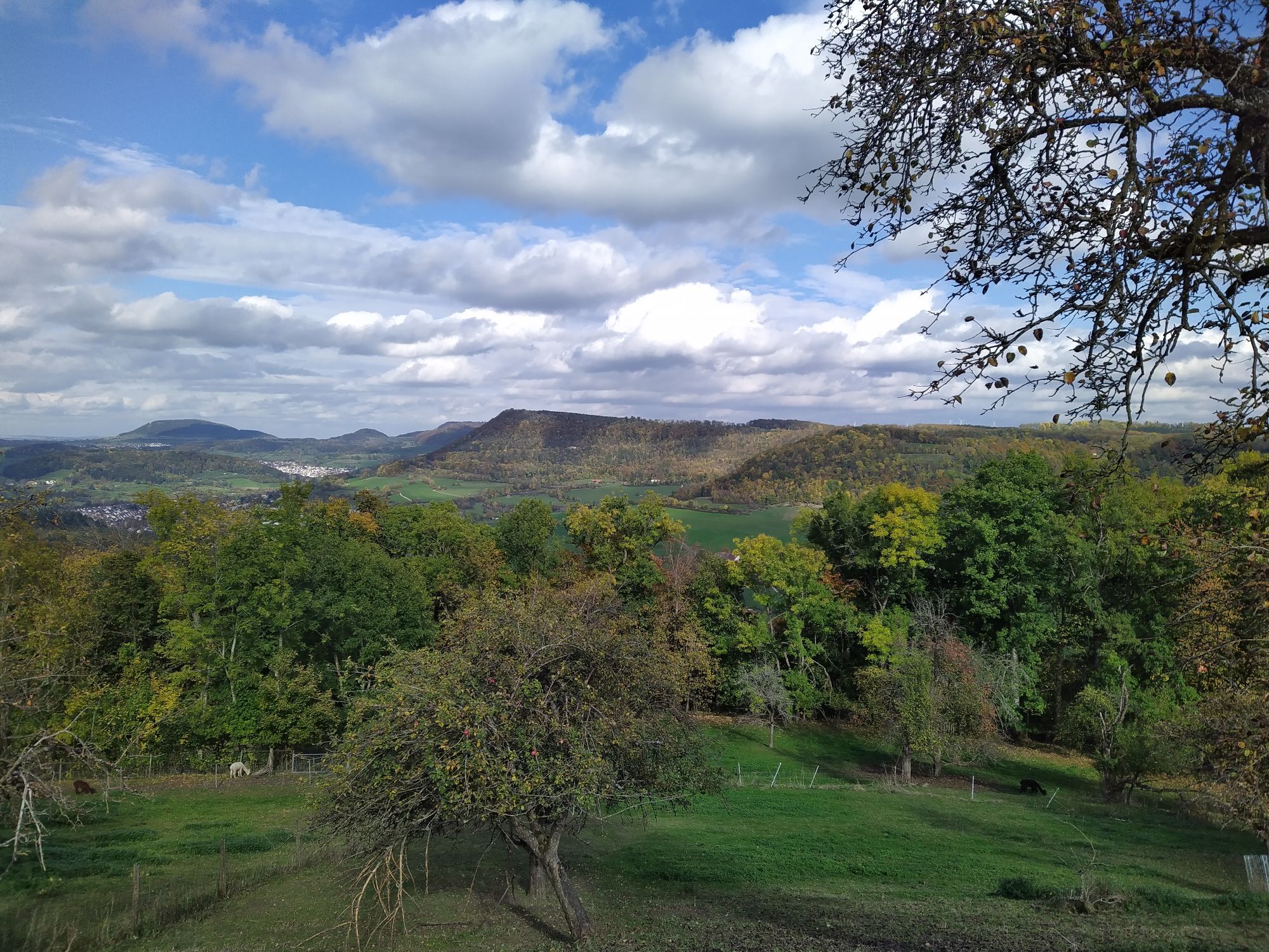

Located near both the Albtrauf Landscape Park and the Fils Landscape Park, the municipality offers interesting hiking trails. The Albtraufwalker Trail is the best way to get to know the Albtrauf. It winds...
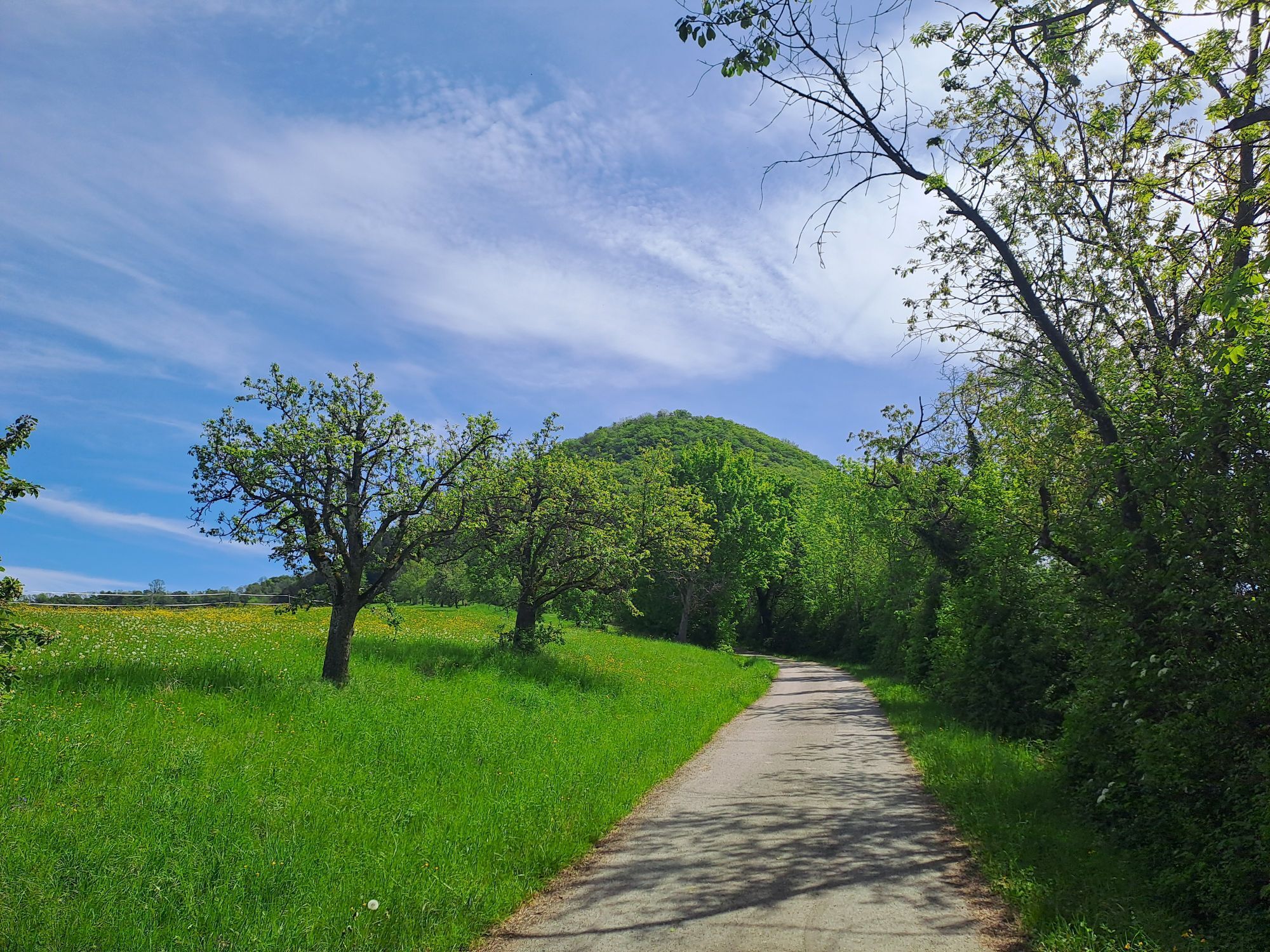
Located near both the Albtrauf Landscape Park and the Fils Landscape Park, the municipality offers interesting hiking trails. The Albtraufwalker Trail is the best way to get to know the Albtrauf. It winds through the area’s characteristic orchard meadows and hillside forests and offers sweeping views of the Alb foothills and the Stuttgart region.
A highlight is the fruit trail. In the “Schnait” area, it captivates visitors with its numerous large, old cider pear trees, the concentration of which is unique among the fruit variety trails in the district. Another treat are the “Gingener Luiken,” which are known far beyond the town’s borders.
Of historical interest is the historic circular hiking trail in Gingen, which is connected to the Industrial Heritage Trail in the Filstal valley. It can be recognized by its distinctive markers; one of these can be found right next to City Hall.
Gingen an der Fils Mayor’s Office
Bahnhofstraße 25 | 73333 Gingen an der Fils
07162 9606-0 |info@gingen.de|www.gingen.de

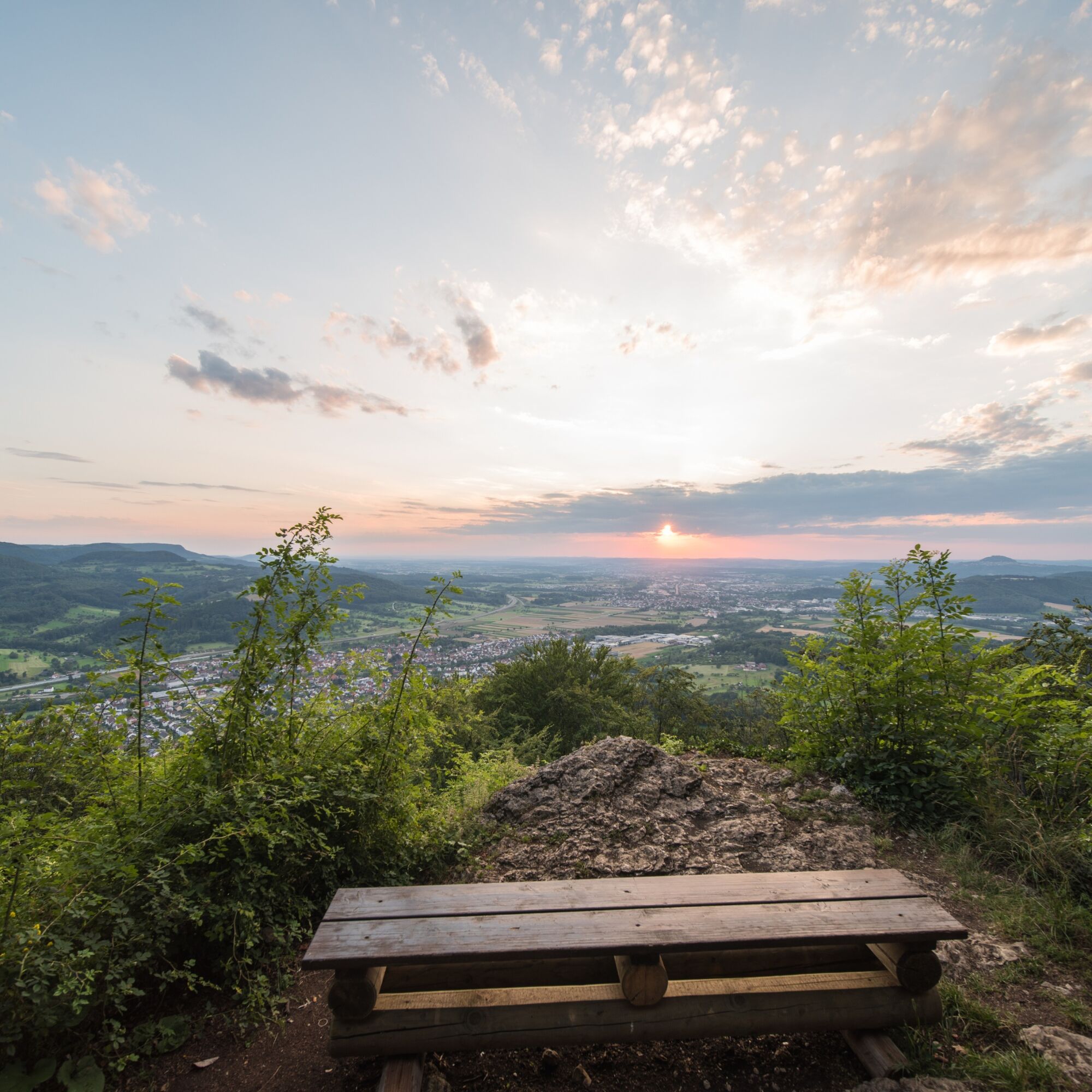
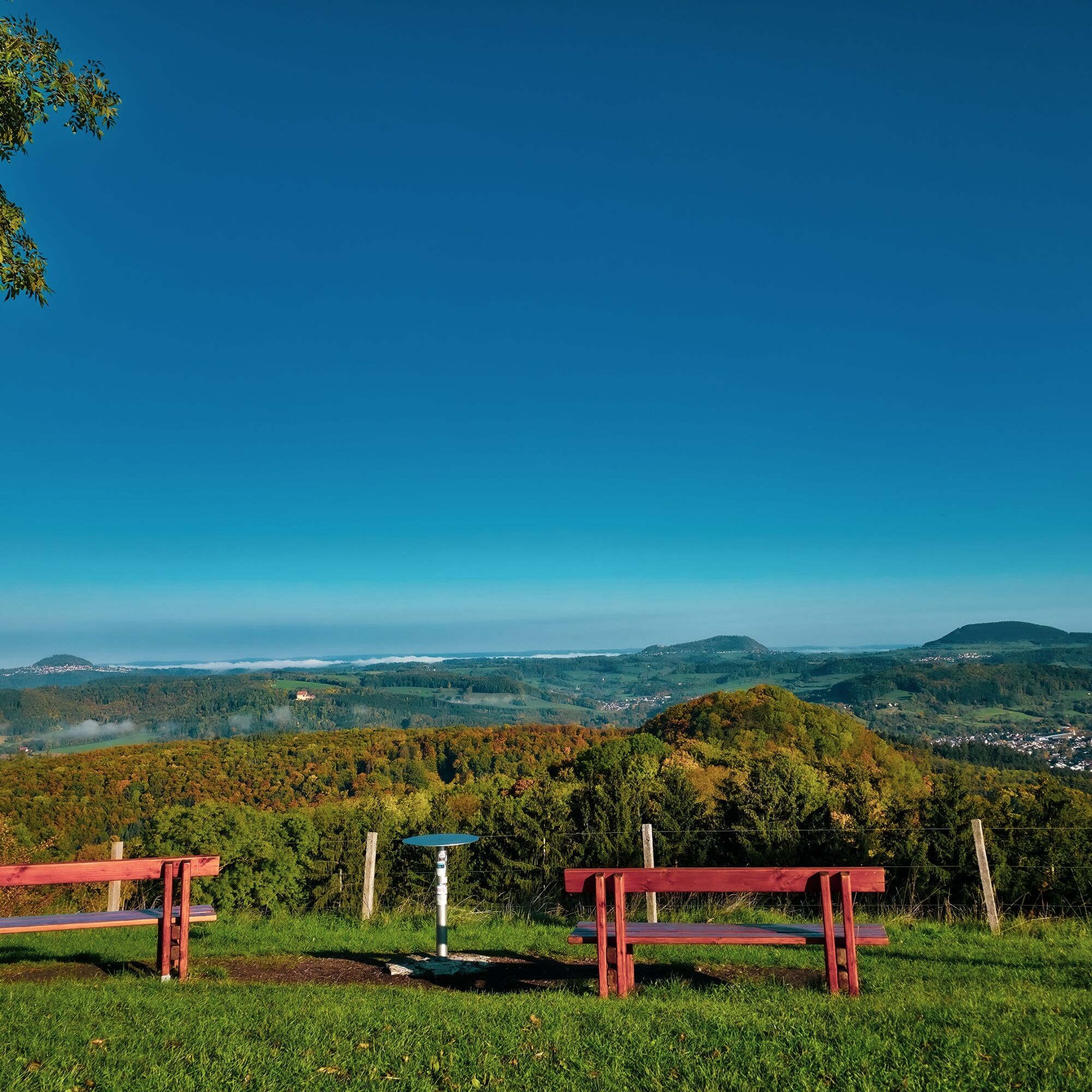
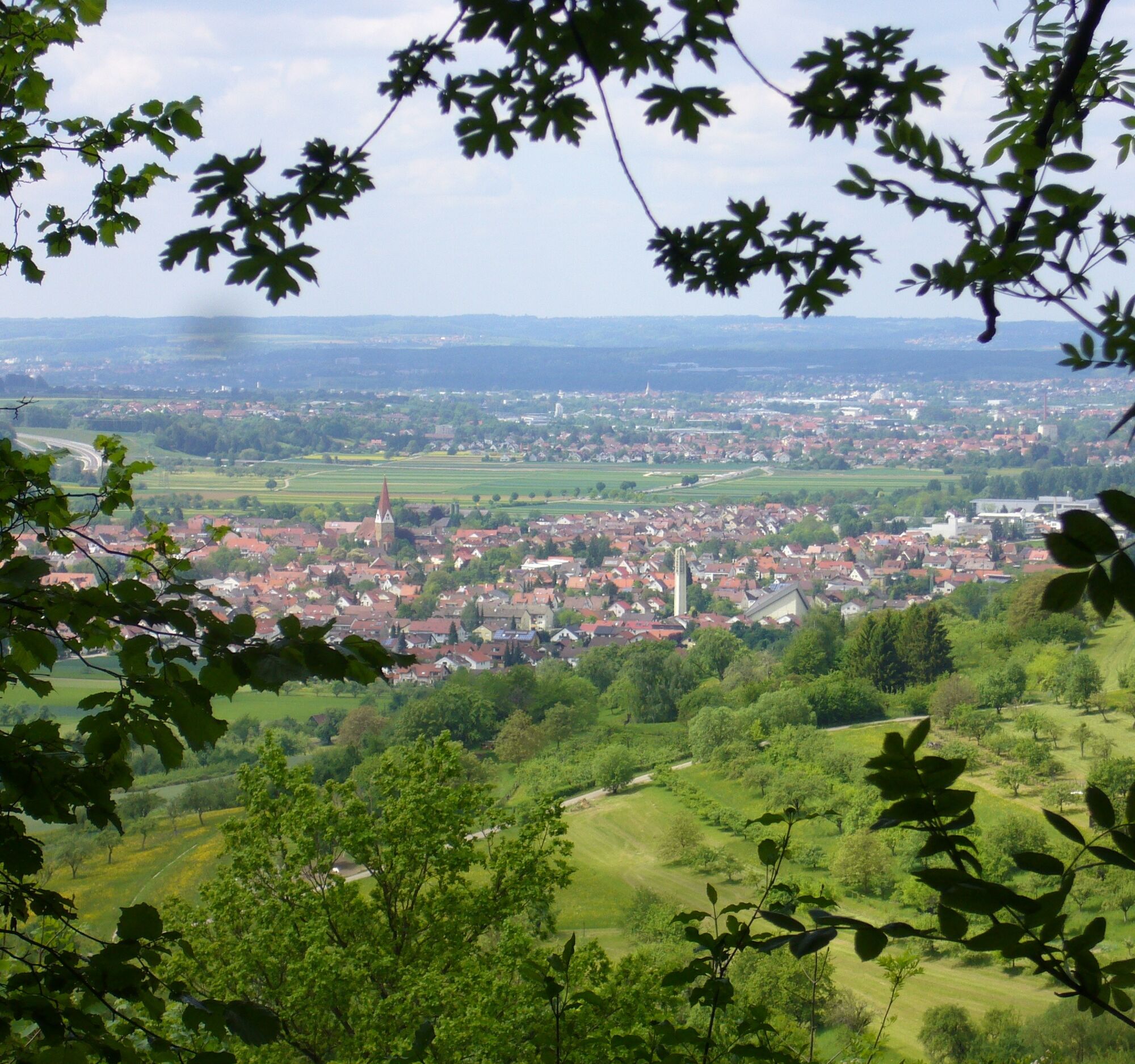
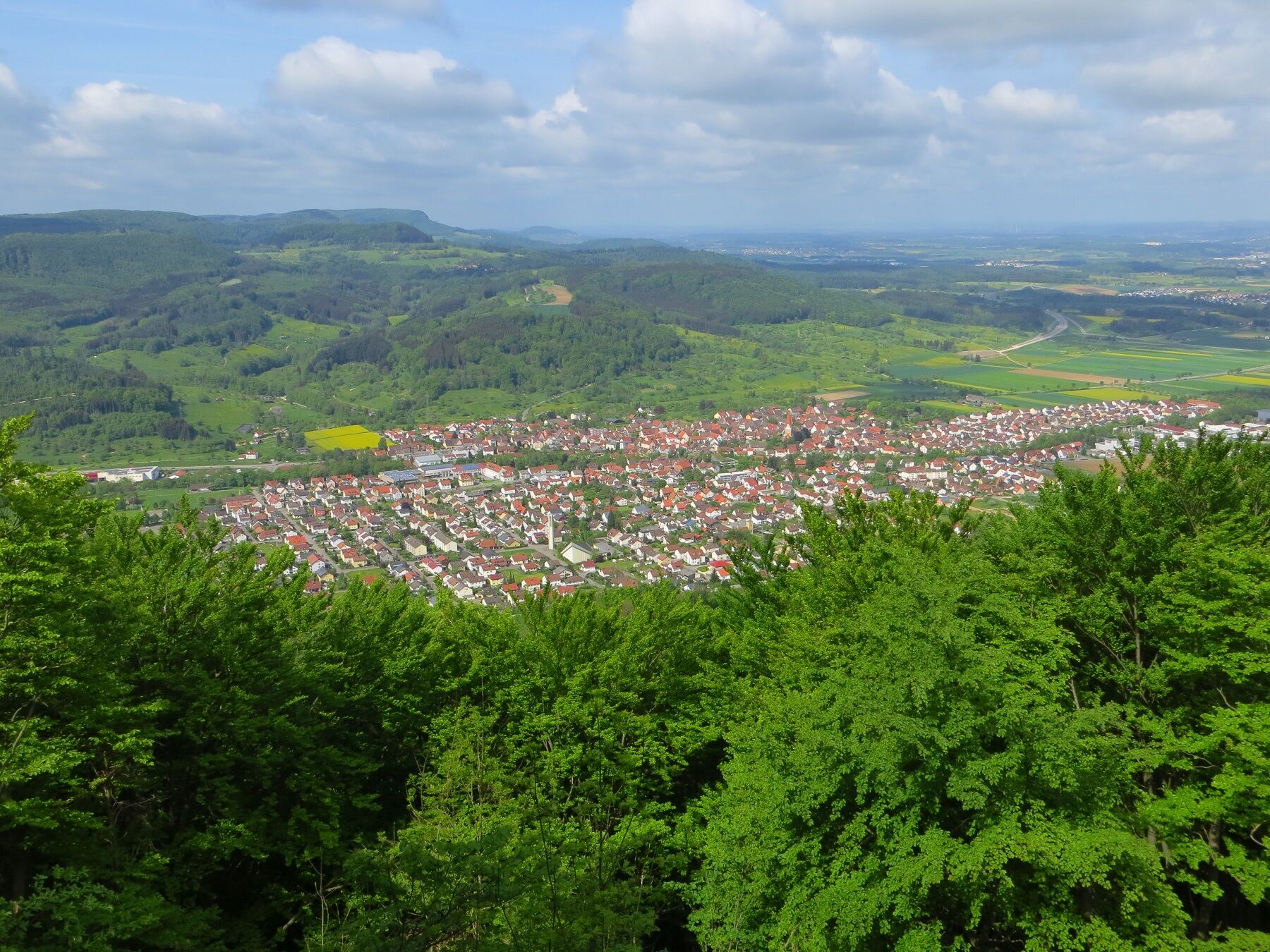
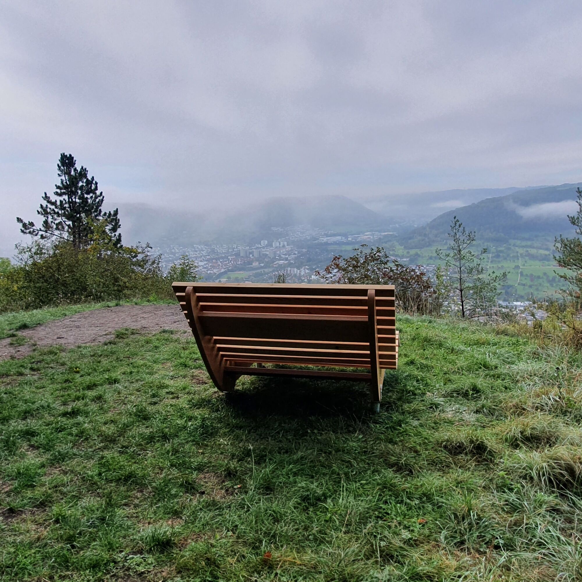
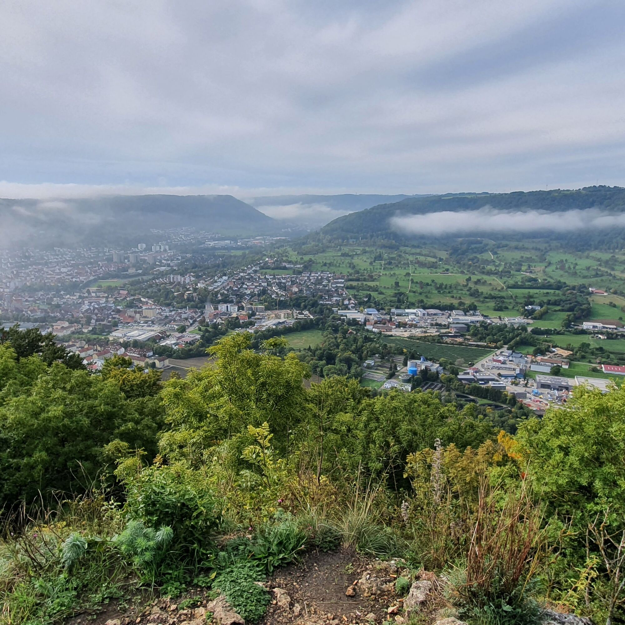

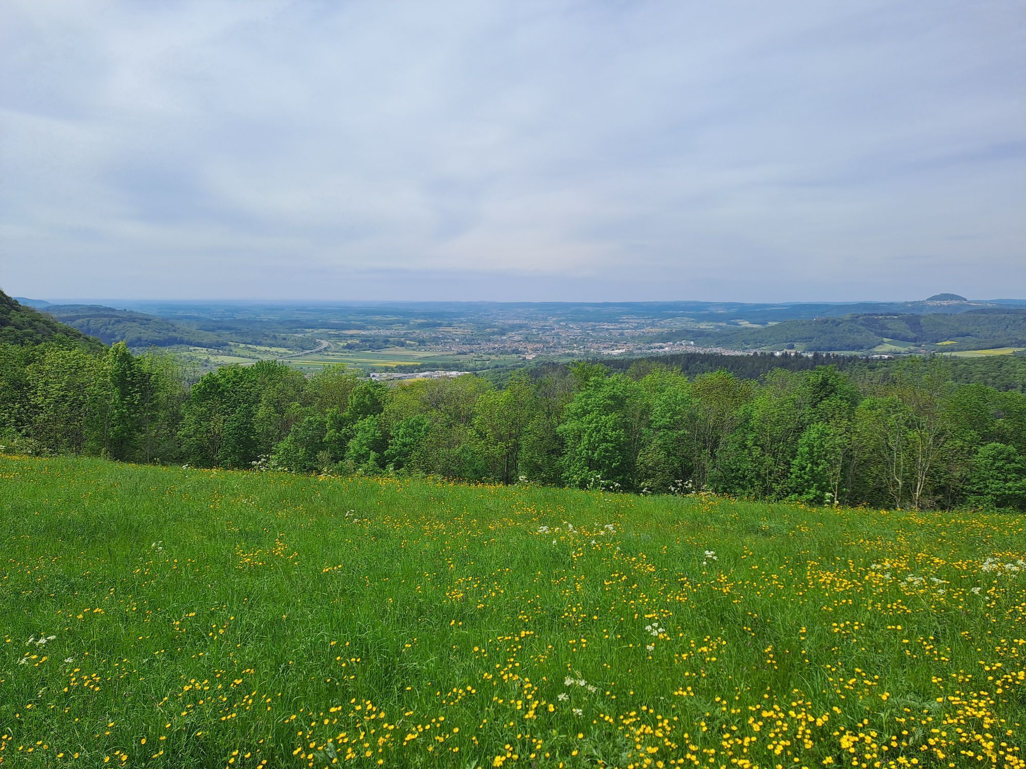
The hike begins in the center of Gingen, near City Hall. For the first few meters, we walk toward the train station and pass under the Filstalbahn tracks. This makes it easy to get here by train. After crossing the tracks, the ascent toward Hohenstein begins. Halfway up, we reach a fork in the trail; taking the right-hand path leads us along a zigzag trail to the Hohenstein overlook. Here, a unique view opens up over the entire lower Filstal valley, framed by the Voralps and the Drei-Kaiserberge mountains. Weather permitting, you can even make out landmarks in the Stuttgart area in the distance.
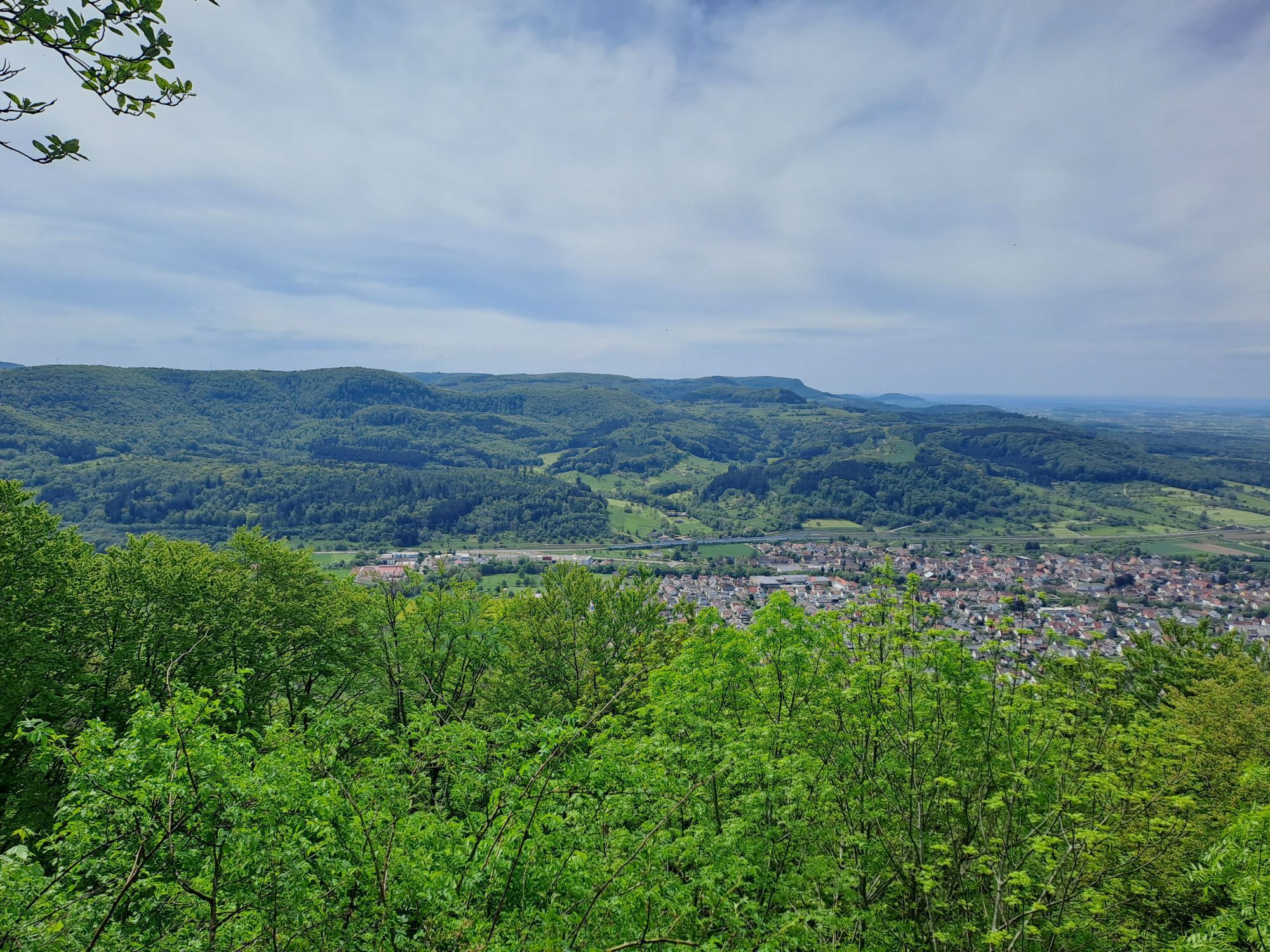
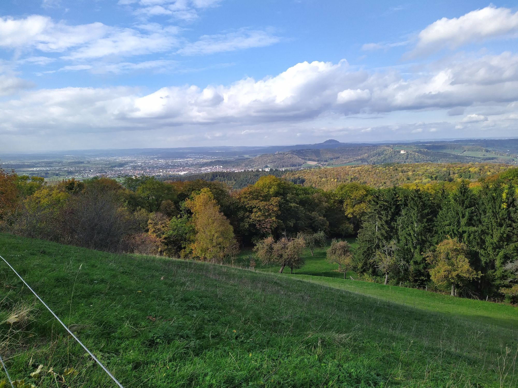
The trail now winds along the Tegelberg, hugging the imposing Albtrauf escarpment, until it reaches the next viewpoint, the Kuhfelsen. Following the Albtrauf—which repeatedly offers stunning views of Geislingen, the “City of Five Valleys”—the trail leads back toward Gingen. Passing through the idyllic hamlet of Kuchalb, which belongs to Donzdorf, we reach the Maierhalde. From here, you can once again enjoy a magnificent view of the Drei-Kaiserberge and their surroundings. The trail leads back down into the valley via the Jungviehweide to the starting point.
Da
Wear sturdy, non-slip shoes and weather-appropriate clothing. A backpack with water, snacks, and a first-aid kit is recommended.
When it's wet, some trails can be slippery and dangerous. Watch your step and use hiking poles for stability if necessary.
From Ulm and Stuttgart via the B10
View the regional schedule: www.vvs.de/fahrplan
Parking at the Gingen Train Station
T2
Respectful Coexistence in the Göppingen District.
Code of Conduct:
Respect trail closures and the quiet zones established in the recreational trail plan. Leave no trace—such as trash or animal waste—and treat the trails with care. Be proactive and considerate. Adapt your behavior to the situation at hand. Safety comes first. Respect other users of the woods and fields. Be considerate of animals and plants. Plan ahead and make the most of daylight. Try to avoid the morning and evening twilight hours. Observe the ban on entering agricultural land during the growing season. Stay on marked trails and avoid the edges of the forest; this helps wildlife become more accustomed to people.For more information, visit ruecksicht-macht-wege-breiter.de
A highlight is the fruit trail. In the “Schnait” area, it captivates visitors with its numerous large, old cider pear trees, the concentration of which is unique among the fruit variety trails in the district. Another treat are the “Gingener Luiken,” which are known far beyond the town’s borders. Gingen Historical Circular Hiking Trail
Of historical interest is the historicalcircular hiking trailin Gingen, which is connected to the Industrial Heritage Trail in the Filstal valley. It can be recognized by its distinctive markers; one of these is located right next to City Hall.
Priljubljeni izleti v okolici
-
4.5
Lion Trail "Orchid Trail" - Herbs, pasqueflowers, and juniper heaths
srednjaPohodništvo 9.33 km -
4.9
Lion Trail "Staufer Loop" — Following in Barbarossa's Footsteps Against a Dreamlike Backdrop
srednjaPohodništvo 11.3 km -
5.0
Lion trail "Berta-Hörnle-Tour" - castle stories in a dreamlike setting
težkoPohodništvo 14.7 km -
5.0
Lion Trail "Heroes' Tour" — The Crowning Stage of the Lion Trails
težkoPohodništvo 23.6 km -
4.4
Löwenpfad "Geislinger Felsen-Tour" - up and down through the Eybach valley
srednjaPohodništvo 10.8 km -
4.5
Lion Trail "Far-Sighted Tour" — High Up and Looking Far Ahead
težkoPohodništvo 12.0 km -
4.7
Löwenpfad "Filstalgucker" - views from the heart of the Filstal valley
srednjaPohodništvo 13.0 km -
3.7
Löwenpfad "Wasserberg-Runde" - pure panorama and typical Swabian Jura landscapes
težkoPohodništvo 12.0 km -
3.7
Three Emperors' Mountains Loop Hike
težkoPohodništvo 25.8 km -
4.3
Löwenpfad "Steigen Tour" - Along the Swabian Landmark of the Century
težkoPohodništvo 17.3 km
Pohodništvo in sledenje


Ne zamudite ponudb in navdiha za naslednje počitnice
Vaš e-poštni naslov je bil dodan na poštni seznam.


