







Höri short trip
Short hilly bike route on the southern part of the Höri peninsula. This route can also be started and ended from Wangen, Hemmenhofen, or Gaienhofen.

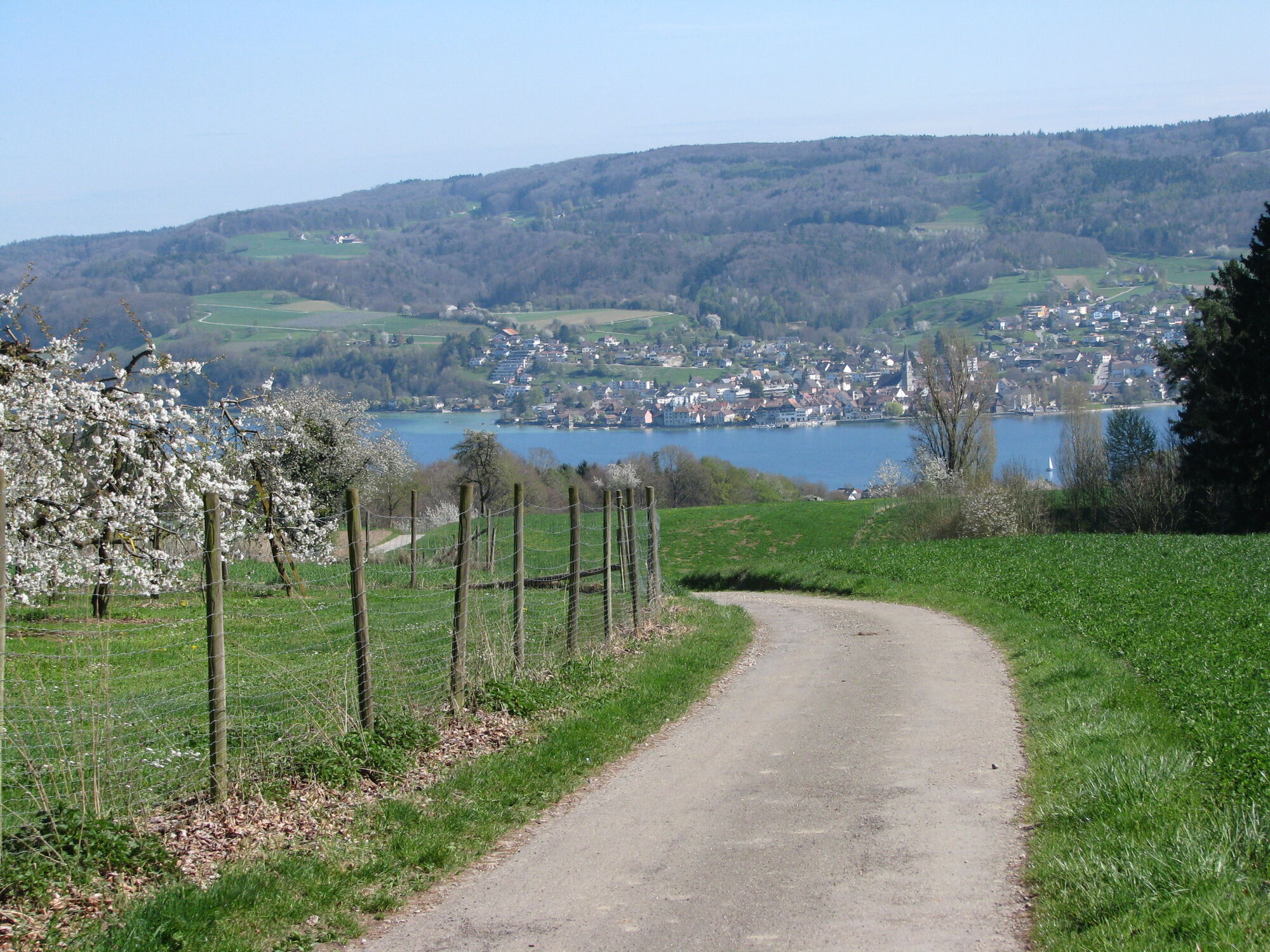


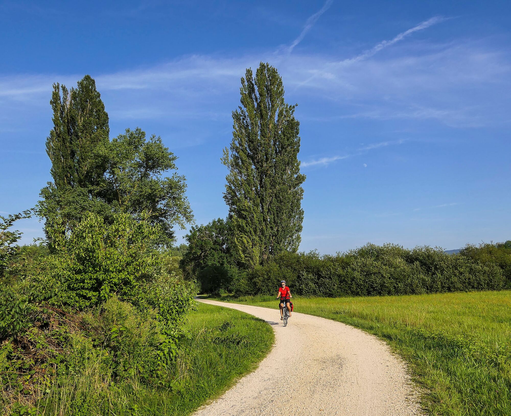
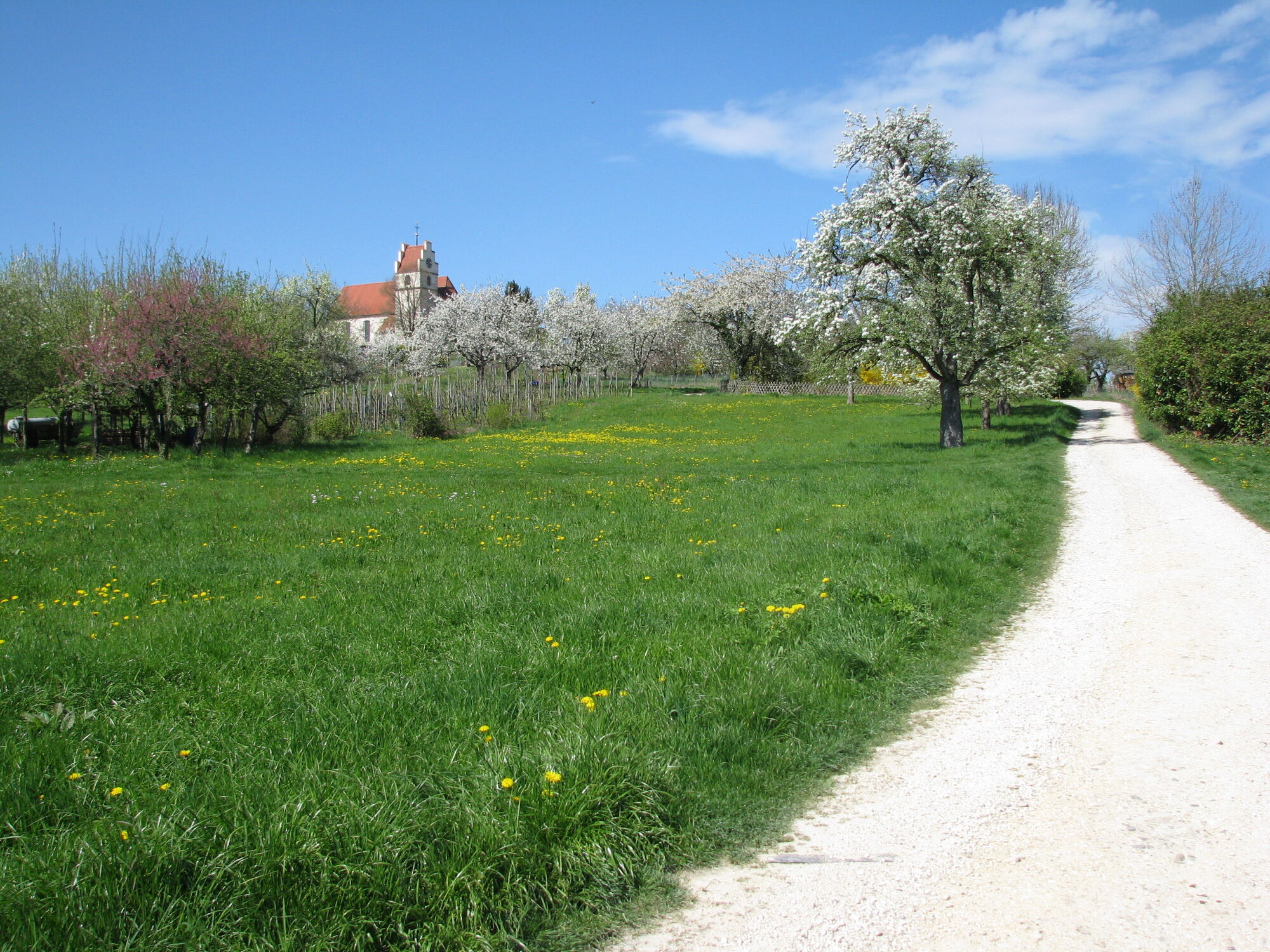
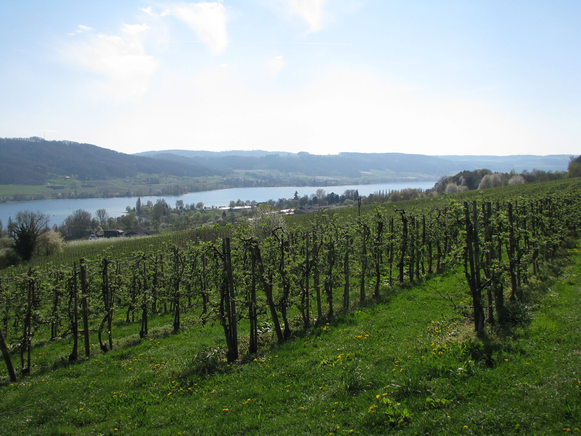
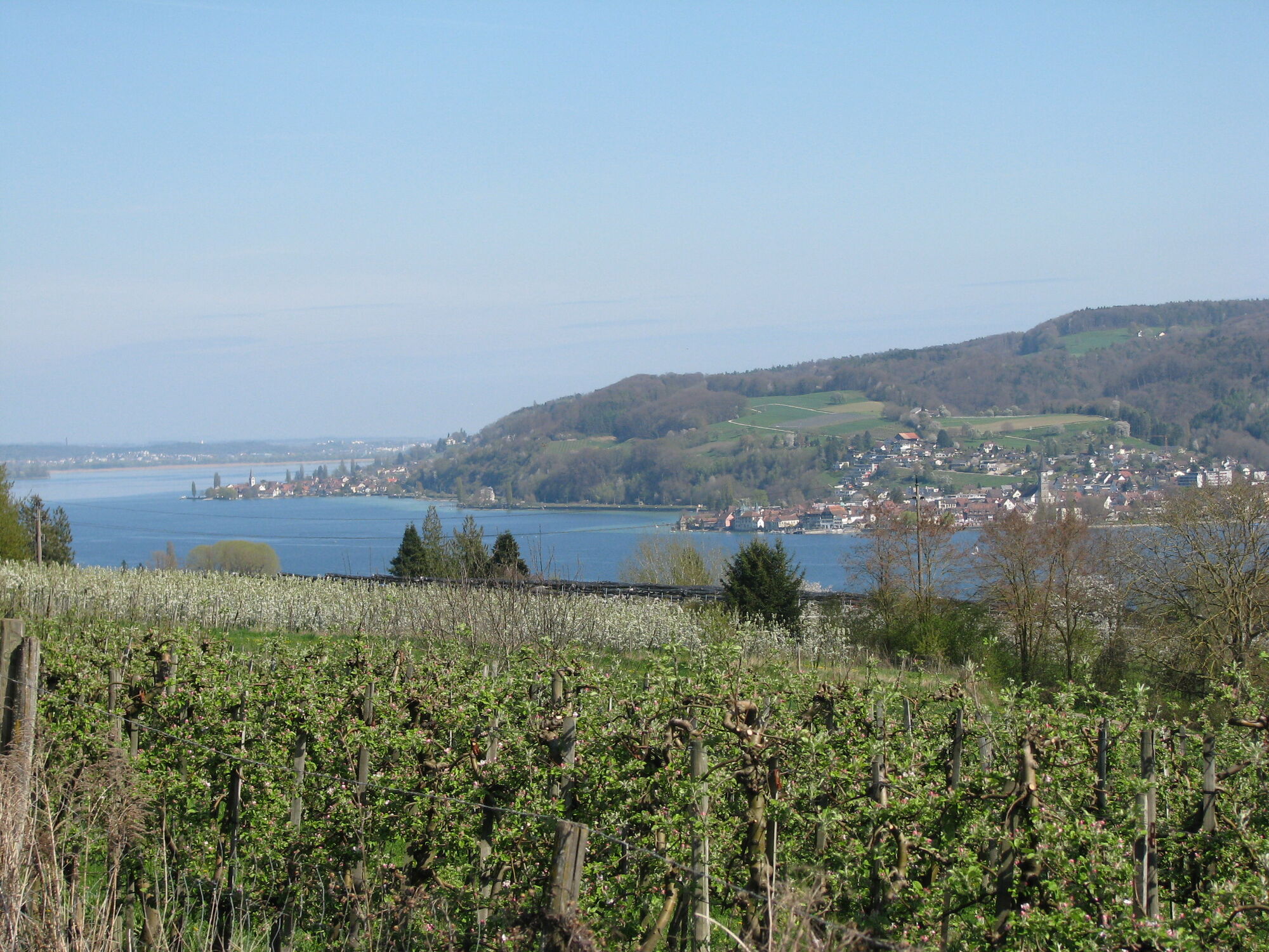

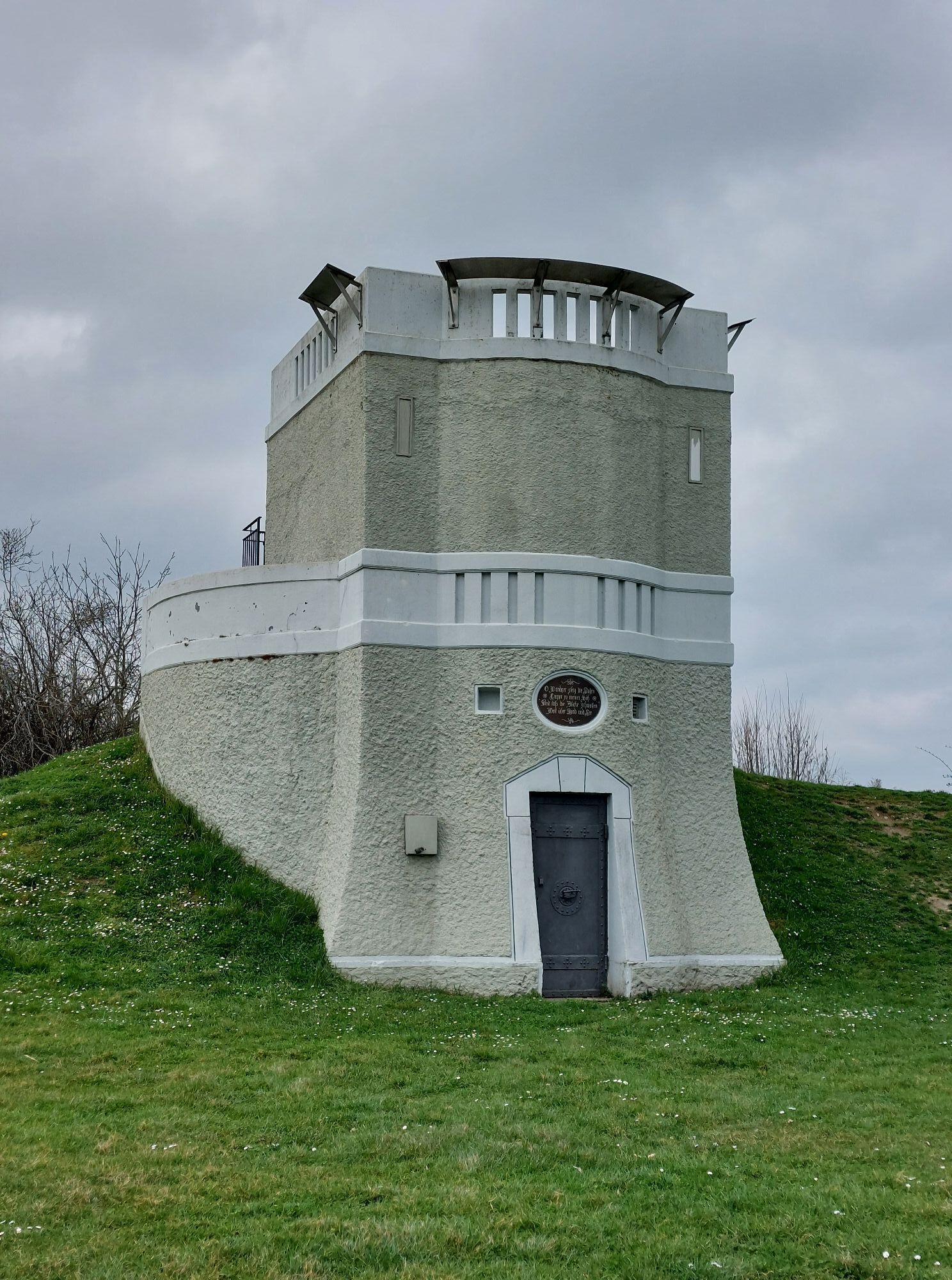
The parking lot at the Horn campsite is an ideal starting point for this bike tour. From the parking lot, head towards Horn and then turn left onto Himmernstraße, where you will reach the Brommenstraße leading to Hornstaaderstraße. Diagonally opposite, take the narrow field path along old orchards uphill to the Friedhof Horn parking lot. Around the church, enjoy a magnificent view over the Lower Lake, with visibility to the Alps on clear days. The bike tour continues to the main road where you turn right and after about 100m left onto Weilerstraße. This leads you to the edge of town and directly to the water tower. The water tower features information panels showing the surrounding towns and mountains. From the water tower, ride back a little and turn right into Seegertenstraße. Passing small ponds, you cross the main road and ride towards Balisheim. At the wayside cross before Balisheim, turn left and then keep right on the paved road to Honisheim. At the fork at the forest edge (Honisheim is to the right), turn left. On this also paved road, reach the next fork where you turn left and ride to the next one. Turn right there and ride to the “Hasenweg” intersection at the forest edge. Enjoy the stunning view of the lake and Steckborn. The Hasenweg leads once again through the forest and brings you to the Panoramaweg, where depending on the section, the view extends from Konstanz to Mammern. At the end of the Panoramaweg, the path leads through a hollow lane into the town center of Wangen. Here there are several places to stop before you start the return journey to Horn on the Lake Constance cycle path.
From Radolfzell or Stein am Rhein via L192, turn towards the lake at the signpost Campsite/Beach Bath Horn.
Arrival by Höribus 200 to the Horn - Campsite stop. The buses cannot transport bicycles. Bicycles can be rented at the Horn campsite or at Velo Martin on the main street.
Directly at the Horn campsite
Cultural detour to the Fisherman's House in Wangen, the Museum Haus Dix in Hemmenhofen, or the Hesse Museum Gaienhofen on the way back. Fresh fruits and vegetables are available at the farm shops in Wangen.
Spletne kamere s turneje
Pridobite vpogled Vedno v živo na mestu z več kot 9.500 spletnimi kamerami. bergfex Kot uporabnik Pro si lahko zdaj ogledate ustrezne spletne kamere za številne izlete v aplikaciji izleti iz. Tako si lahko neposredno ogledate trenutne razmere. Priljubljeni izleti v okolici
- 5.0
Mindelsee-Runde
svetlobaPohodništvo 7.83 km - 4.0
Around the island of Reichenau
svetlobaPohodništvo 10.9 km - 5.0
Hike on the panorama route of the Höri Peninsula
srednjaPohodništvo 8.11 km - 4.0
Bodanrück-Runde
težkoPohodništvo 8.36 km - 4.0
Circular hike Gaienhofen-Middle Höri
srednjaPohodništvo 12.6 km - 4.5
Mühlsberg route
srednjaPohodništvo 8.67 km - 3.7
Firstweg Langenmos
srednjaPohodništvo 5.76 km Stein am Rhein - Hohenklingen Castle - Stein am Rhein
srednjaPohodništvo 7.79 kmNature enjoyment on the circular hiking route with a view of Freudental Castle
svetlobaPohodništvo 5.67 km- 5.0
"Hegauer Kegelspiel" Hohentwieler
srednjaPohodništvo 7.21 km
Pohodništvo in sledenje


Ne zamudite ponudb in navdiha za naslednje počitnice
Vaš e-poštni naslov je bil dodan na poštni seznam.





