







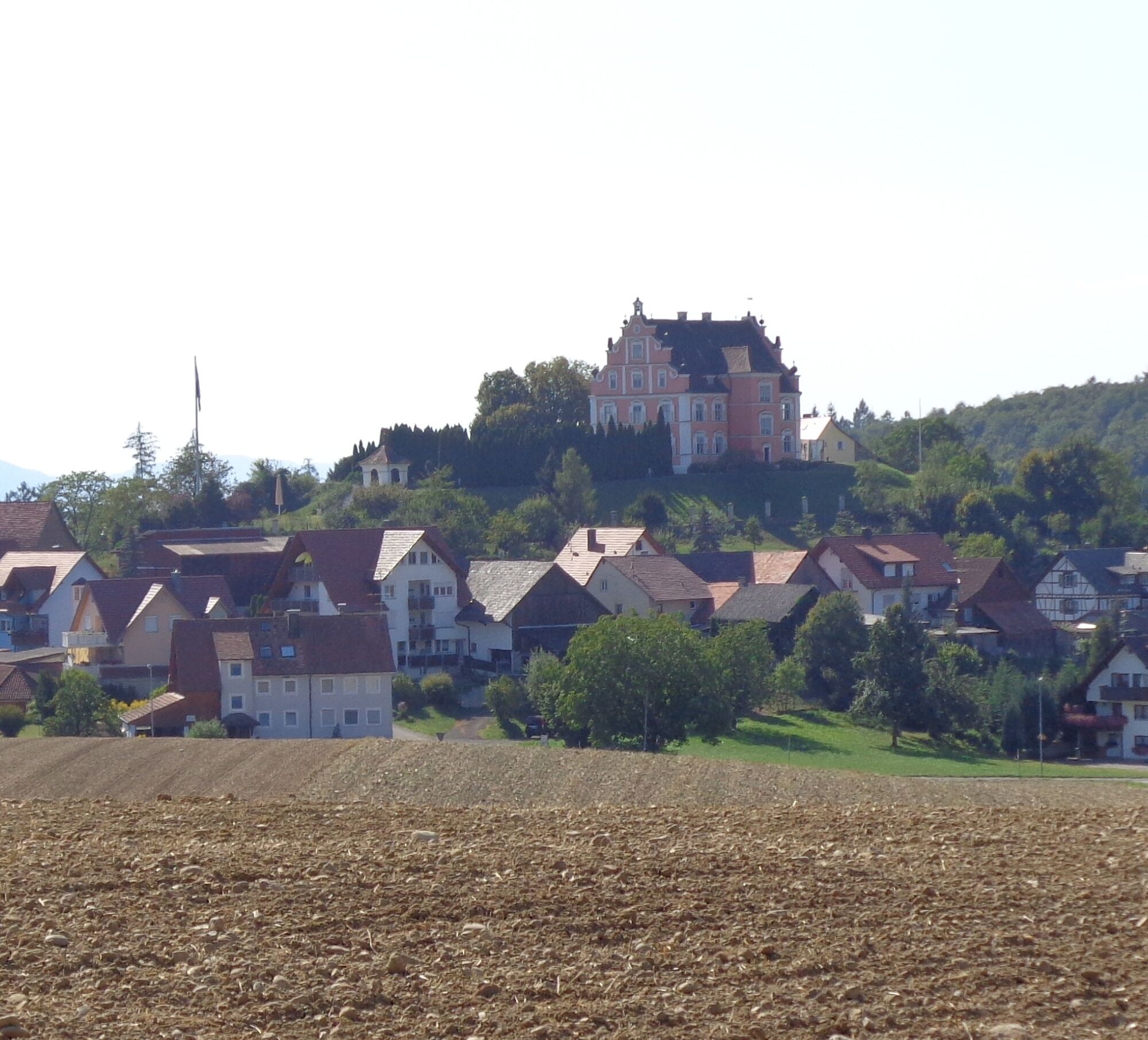
Nature enjoyment on the circular hiking route with a view of Freudental Castle
Discover on this circular route with a view of Freudental Castle the Allensbach districts of Kaltbrunn and Freudental. Enjoy the wonderful nature of the Bodanrück on this varied and idyllic hiking route....
Discover on this circular route with a view of Freudental Castle the Allensbach districts of Kaltbrunn and Freudental. Enjoy the wonderful nature of the Bodanrück on this varied and idyllic hiking route. Pause for a moment at a nicely located seating area at the forest edge with a dreamlike view of Freudental Castle.

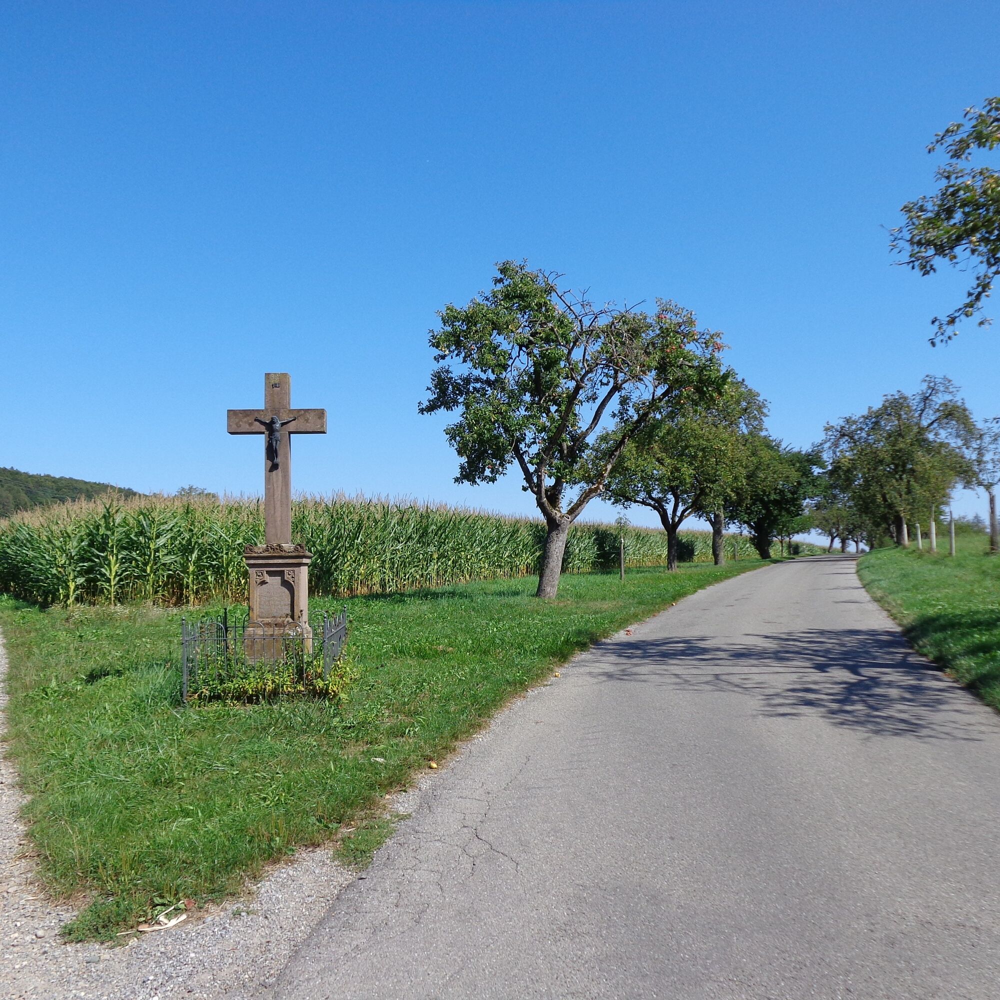
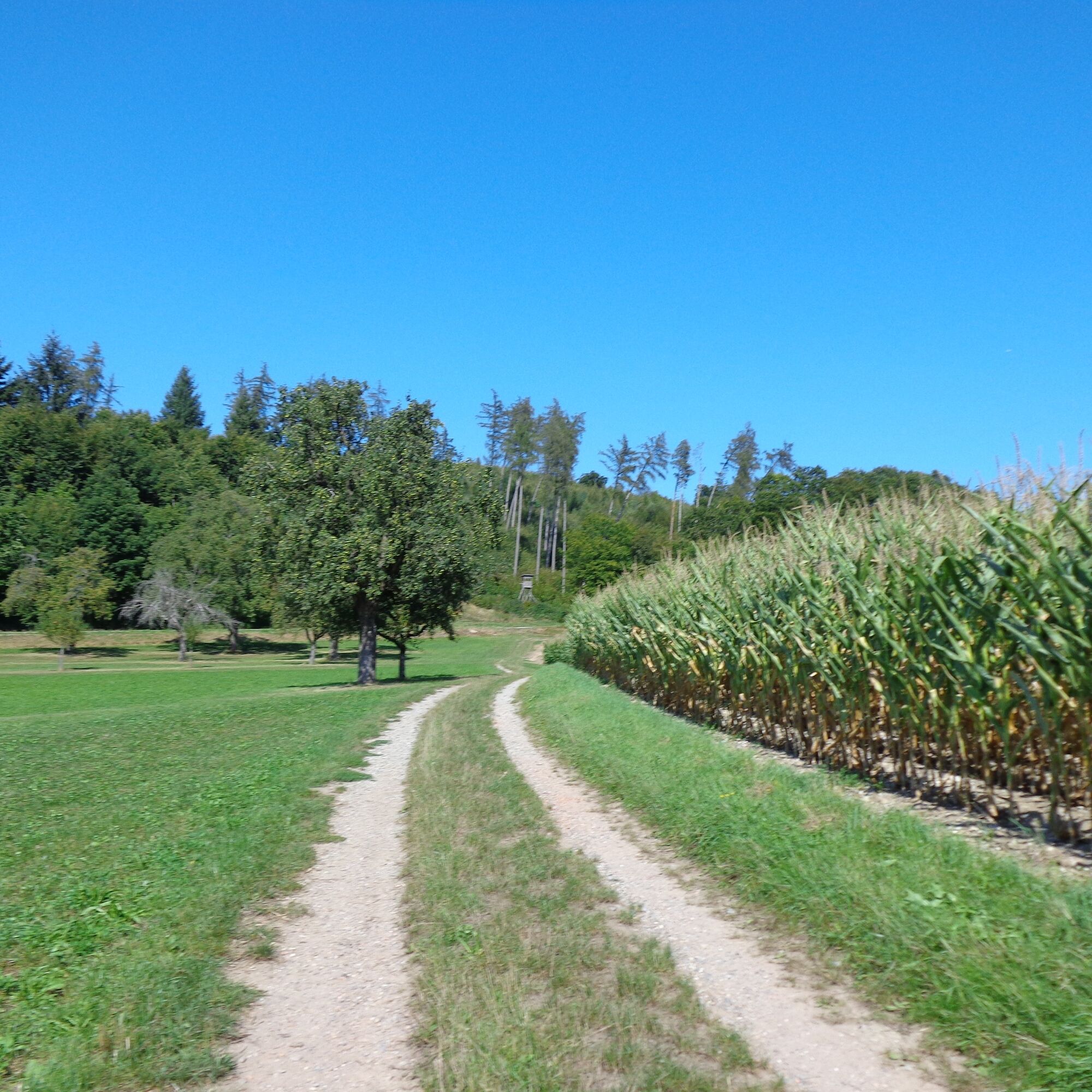
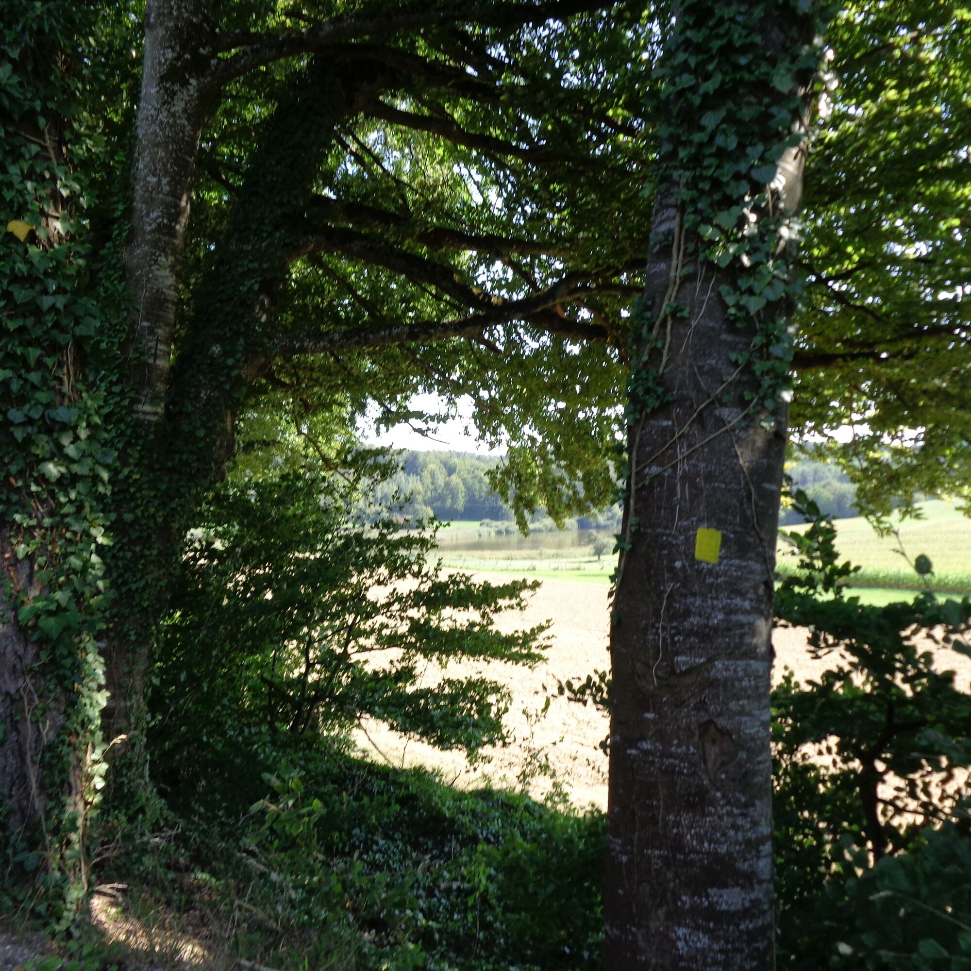
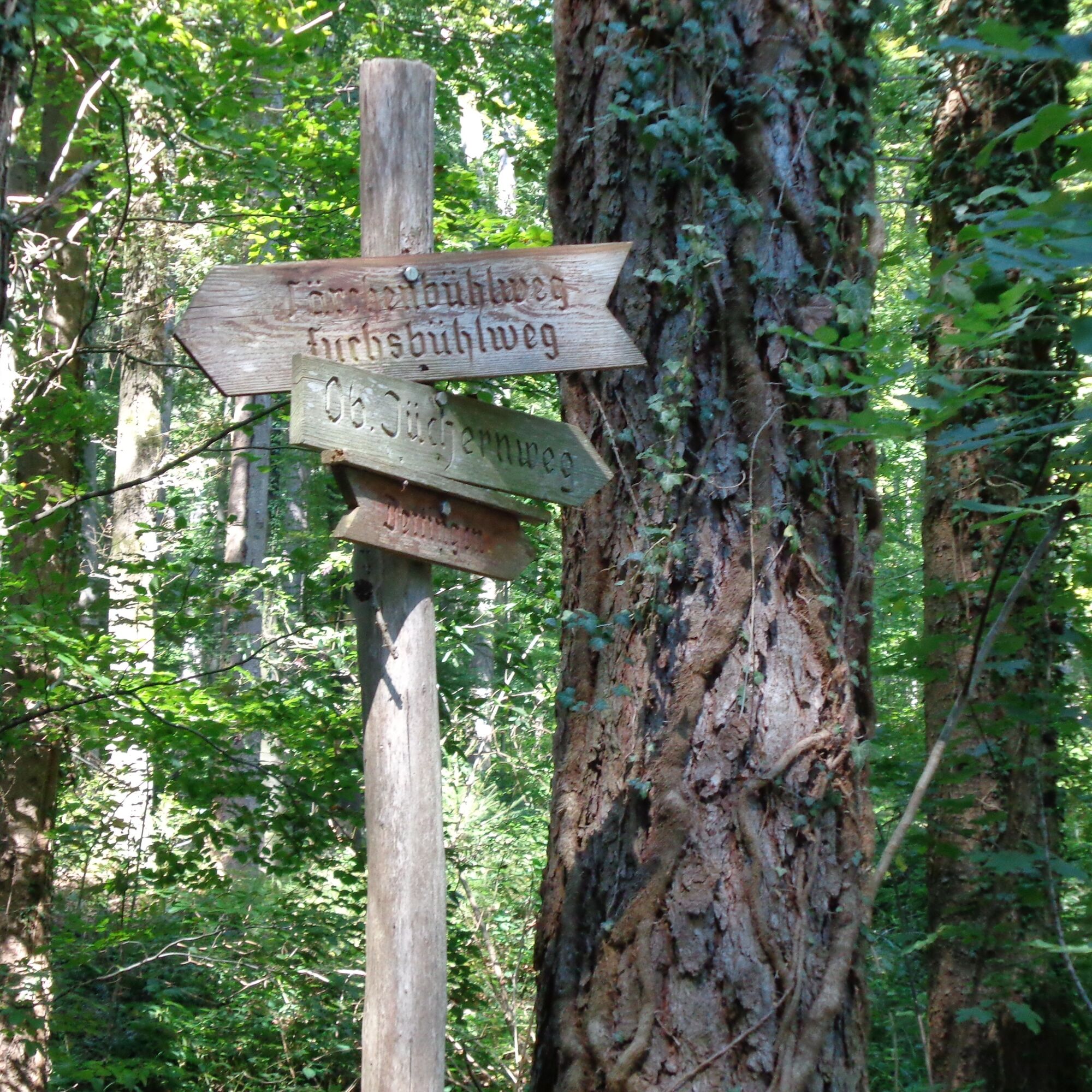
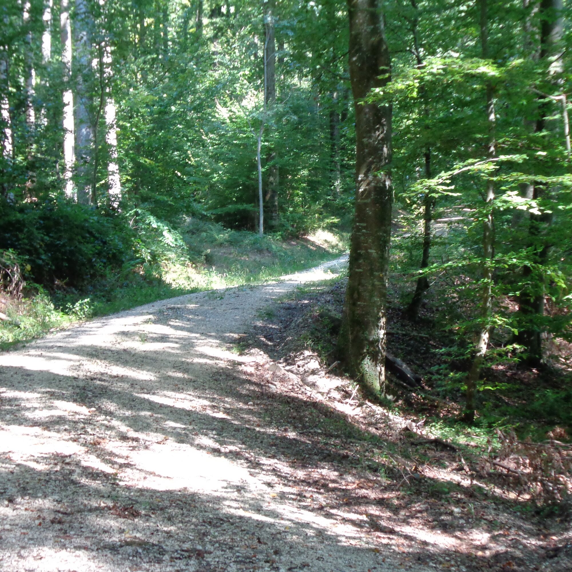
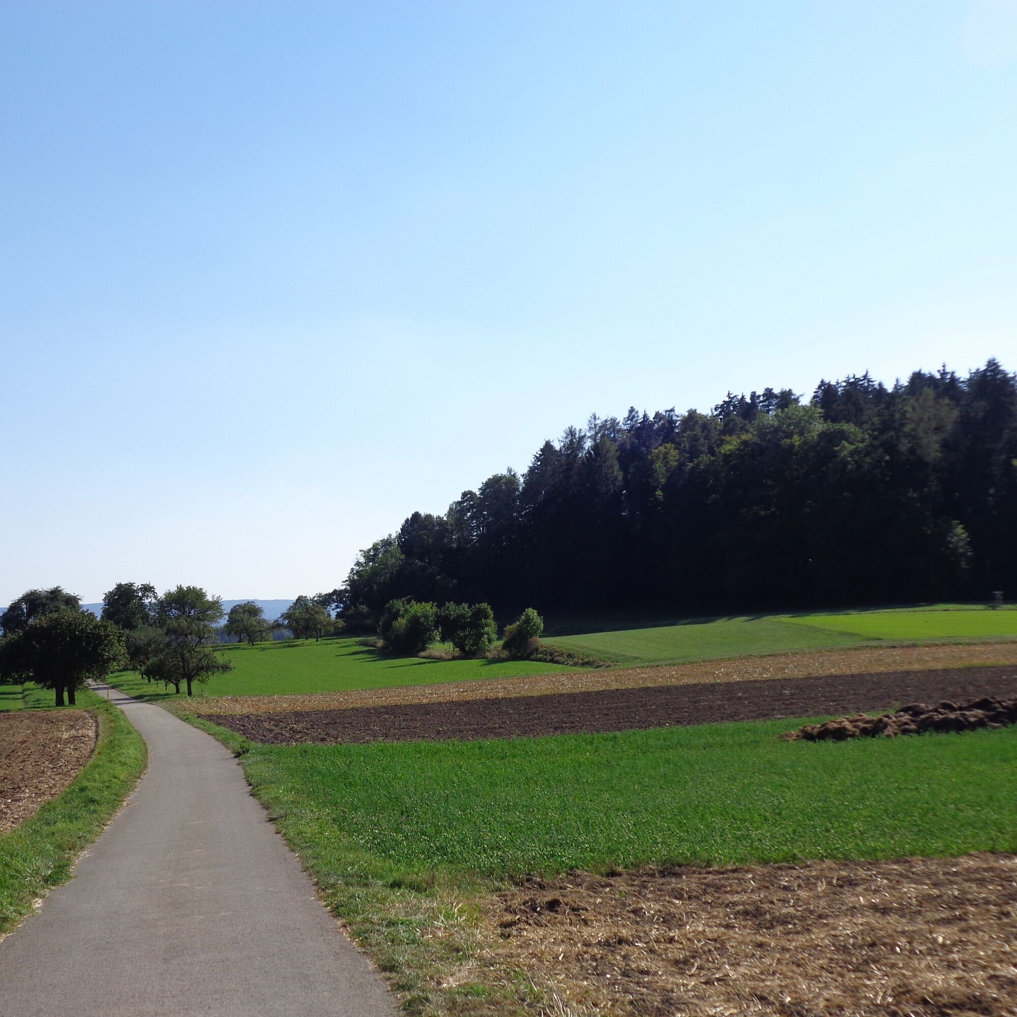
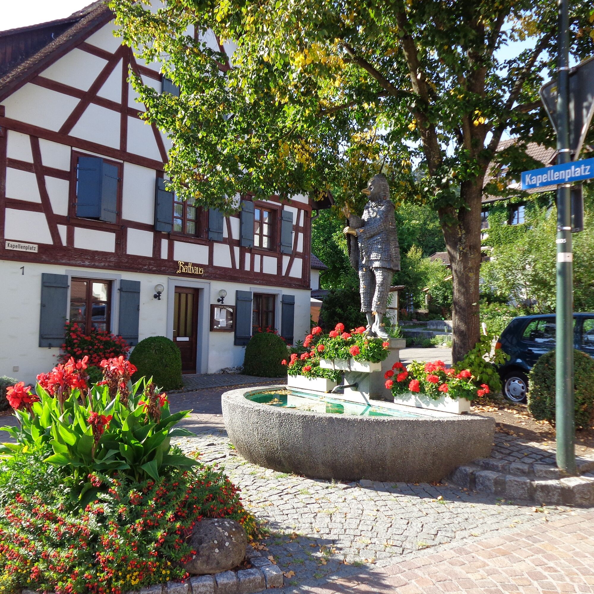

We start our route at the hiking car park, the so-called "Dürrehölzele", in Kaltbrunn. The path is marked with a yellow square. The hiking car park is located on Freudentaler Straße, about 400m out of the village from Kaltbrunn. From the car park, we follow the path towards "Dürrainhof". In the Middle Ages, this belonged to Reichenau Monastery and was first inhabited by monks, later by nuns. Shortly after "Dürrainhof", we reach a fork with a field cross. Here we take the left path, which leads through the fields. At the end of the field path, we come to two paths; we follow the upper path that leads through the forest to the right. From this path, you can see the Mühlhalder pond in the distance. Until 1800, it was part of a large pond that extended near Dettingen. This served partly for fish farming, but mainly as a reservoir for the Allensbach mills. Today, the pond is a nature reserve. Shortly afterward, our path meets the path from Langenrain to Allensbach, marked with a red rectangle. The two paths run together for a while.
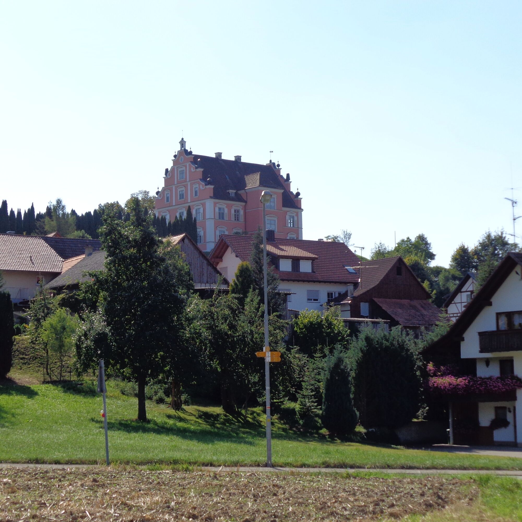
At the turn to Freudental, our path continues straight ahead. Shortly after, we turn left at the next fork and a few meters later follow the middle path (signpost "Ob. Jüchernweg"). Shortly after, at the next intersection, we continue straight ahead. At the next fork, we follow the left path and shortly afterwards also follow the left path again at the T-junction. Shortly afterward, we reach the next intersection and continue straight ahead. After a few minutes, the path leaves the forest. At the forest edge, we find an idyllic seating area where you can enjoy a wonderful view of Freudental Castle and the village. Freudental Castle was built from 1698 to 1700 and belonged for a long time to the Count of Bodman. Today, the castle is privately owned and operated as a hotel. After a short break, we follow the path into the village and turn left at the end. Just before leaving Freudental, there is an opportunity to refresh yourself at the Bauernstube Litz. To continue the route, we cross the street and follow the path on the right (bike path between Kaltbrunn and Allensbach). The paved path first runs along the old country road and then continues through fields and meadows. Upon arriving in Kaltbrunn, the path passes the village chapel of St. Jakobus, built in the 18th century. At the chapel square, we meet the village street, turn left here and follow Freudentaler Straße back to the hiking car park. The path runs a short stretch along the road before the car park. If you do not want to go directly back to the car park, you can stop at the "Bunte Kuh" in Kaltbrunn from 7 p.m. to refresh and recharge.
Da
Remember to wear sturdy footwear!
Take the A81 motorway to the Hegau junction, then follow the direction Konstanz/Radolfzell and the B33 to Allensbach/industrial area. At the end of the industrial area, turn left towards Kaltbrunn/Freudental/Langenrain and follow the road to Kaltbrunn. In Kaltbrunn, turn right towards Freudental/Langenrain; the hiking car park is located on Freudentaler Straße shortly after leaving the village.
Take bus 203 from Allensbach to Kaltbrunn. The hiking car park is located on Freudentaler Straße out of the village.
Hiking car park "Dürrehölzele"
Allensbach Culture and Tourism Office
Konstanzer Straße 12
78476 Allensbach
0049 (0) 7533 801-35
Refresh yourself during the route with a break at the Bauernstube Litz in Freudental or at the Bunte Kuh in Kaltbrunn.
Pridobite vpogled Vedno v živo na mestu z več kot 9.500 spletnimi kamerami. bergfex Kot uporabnik Pro si lahko zdaj ogledate ustrezne spletne kamere za številne izlete v aplikaciji izleti iz. Tako si lahko neposredno ogledate trenutne razmere. Priljubljeni izleti v okolici
- 4.0
Vom Bahnhof Konstanz entlang des Bodenseeufers zur Insel Mainau
srednjaPohodništvo 10.4 km - 5.0
Mindelsee-Runde
svetlobaPohodništvo 7.83 km - 3.2
Bodenseeradweg
Kolesarjenje 210.8 km - 4.0
Around the island of Reichenau
svetlobaPohodništvo 10.9 km - 5.0
Hike on the panorama route of the Höri Peninsula
srednjaPohodništvo 8.11 km - 4.7
Rundwanderung Aachtobel - Hohenbodman
Pohodništvo 7.66 km - 4.0
Bodanrück-Runde
težkoPohodništvo 8.36 km - 4.0
Circular hike Gaienhofen-Middle Höri
srednjaPohodništvo 12.6 km - 4.5
Mühlsberg route
srednjaPohodništvo 8.67 km - 5.0
Überlingen, Baden-Württemberg
svetlobaPohodništvo 9.12 km
Pohodništvo in sledenje


Ne zamudite ponudb in navdiha za naslednje počitnice
Vaš e-poštni naslov je bil dodan na poštni seznam.





