


Mühlsberg route
The varied hike leads from Liggeringen initially to the scenic Mühlsberg. Further viewpoints follow on the return route from Güttingen back to Liggeringen. Do not miss the Vogelherd Hill near the Sonnhof,...
The varied hike leads from Liggeringen initially to the scenic Mühlsberg. Further viewpoints follow on the return route from Güttingen back to Liggeringen. Do not miss the Vogelherd Hill near the Sonnhof, from where there is a panoramic view over the Mindelsee, the Lower Lake with Radolfzell and the Mettnau peninsula, Güttingen and the Hegau mountains, with good visibility even to the Alps. In between, you pass forests with idyllic streams, orchards, and fields as well as the villages of Güttingen and Liggeringen with interesting churches and several places to stop for refreshments.

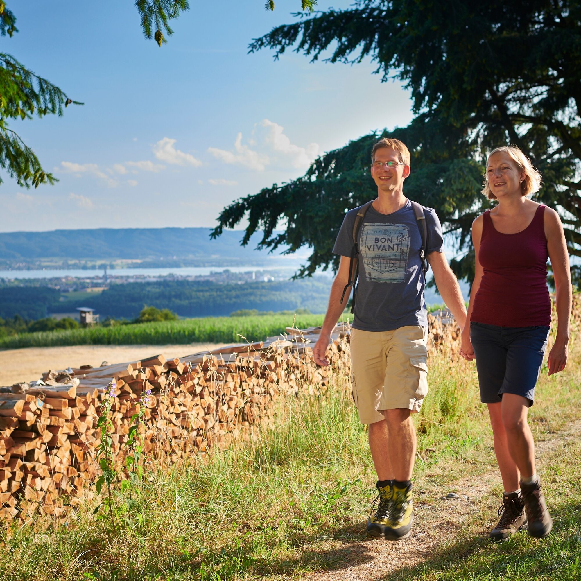
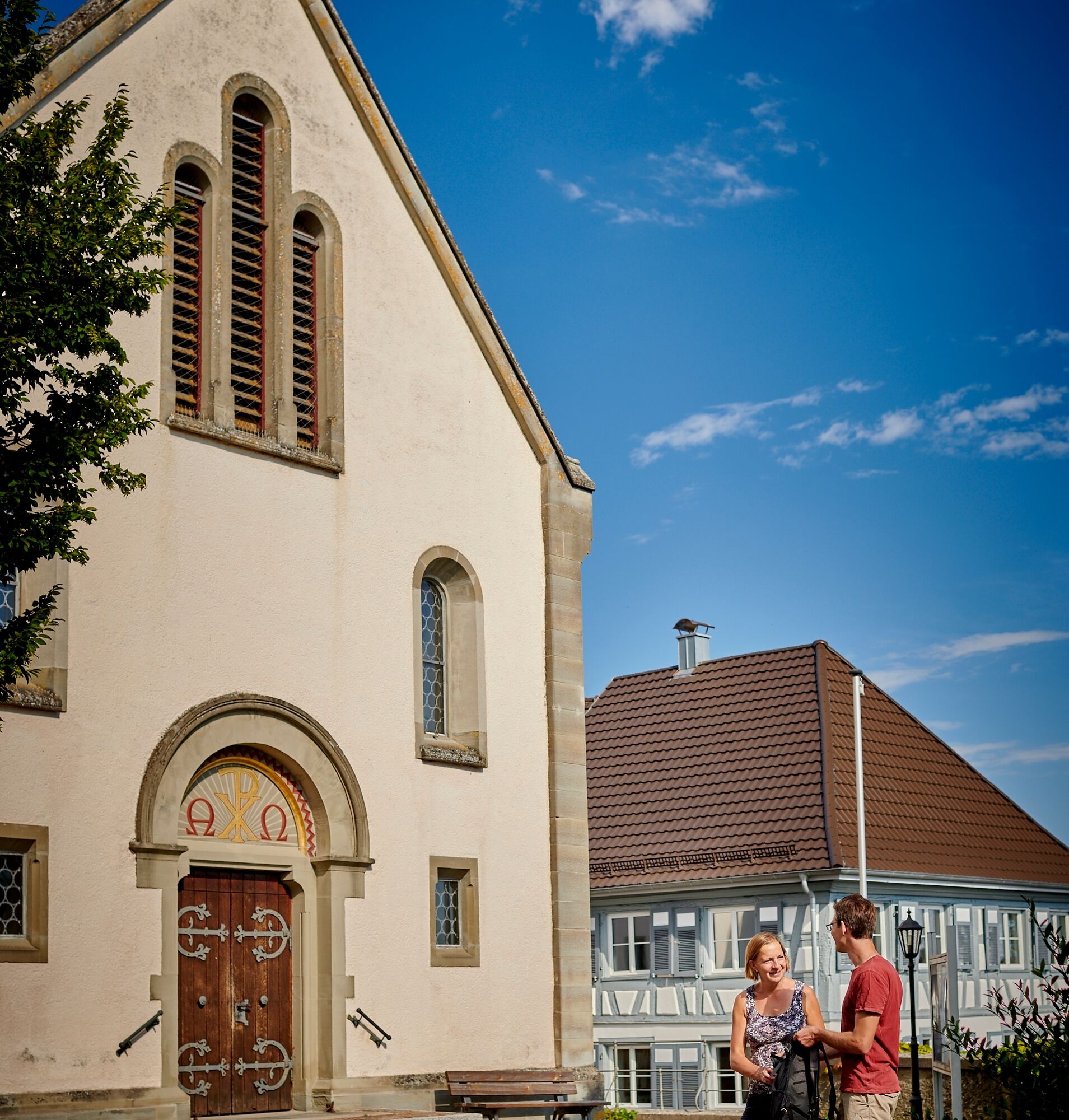
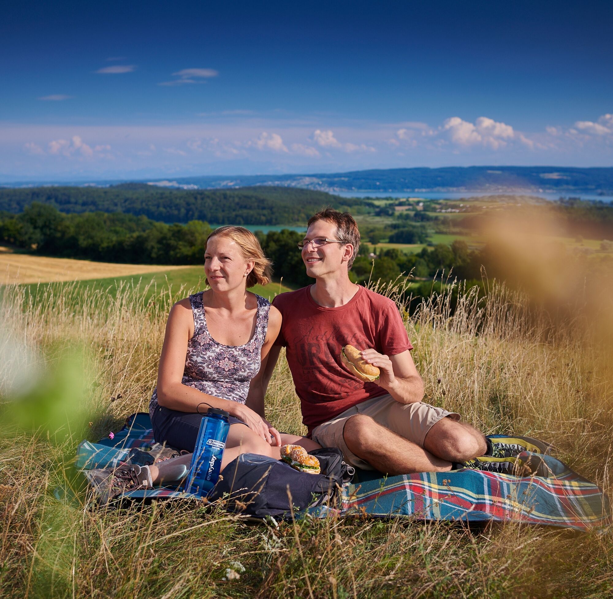
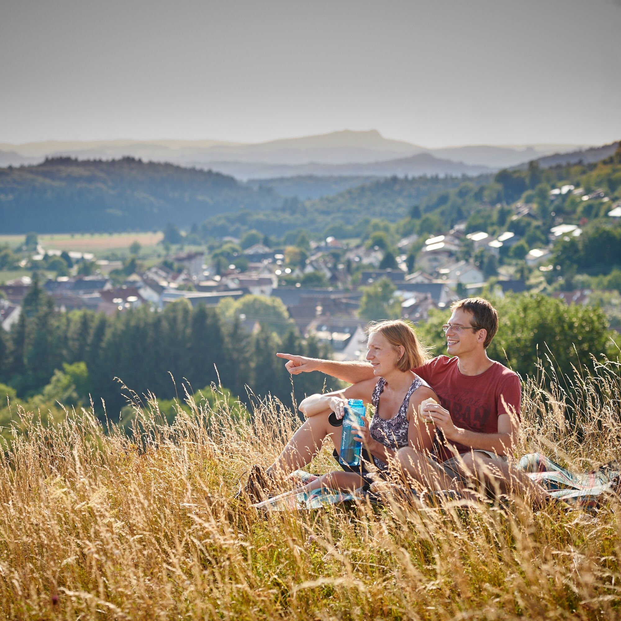
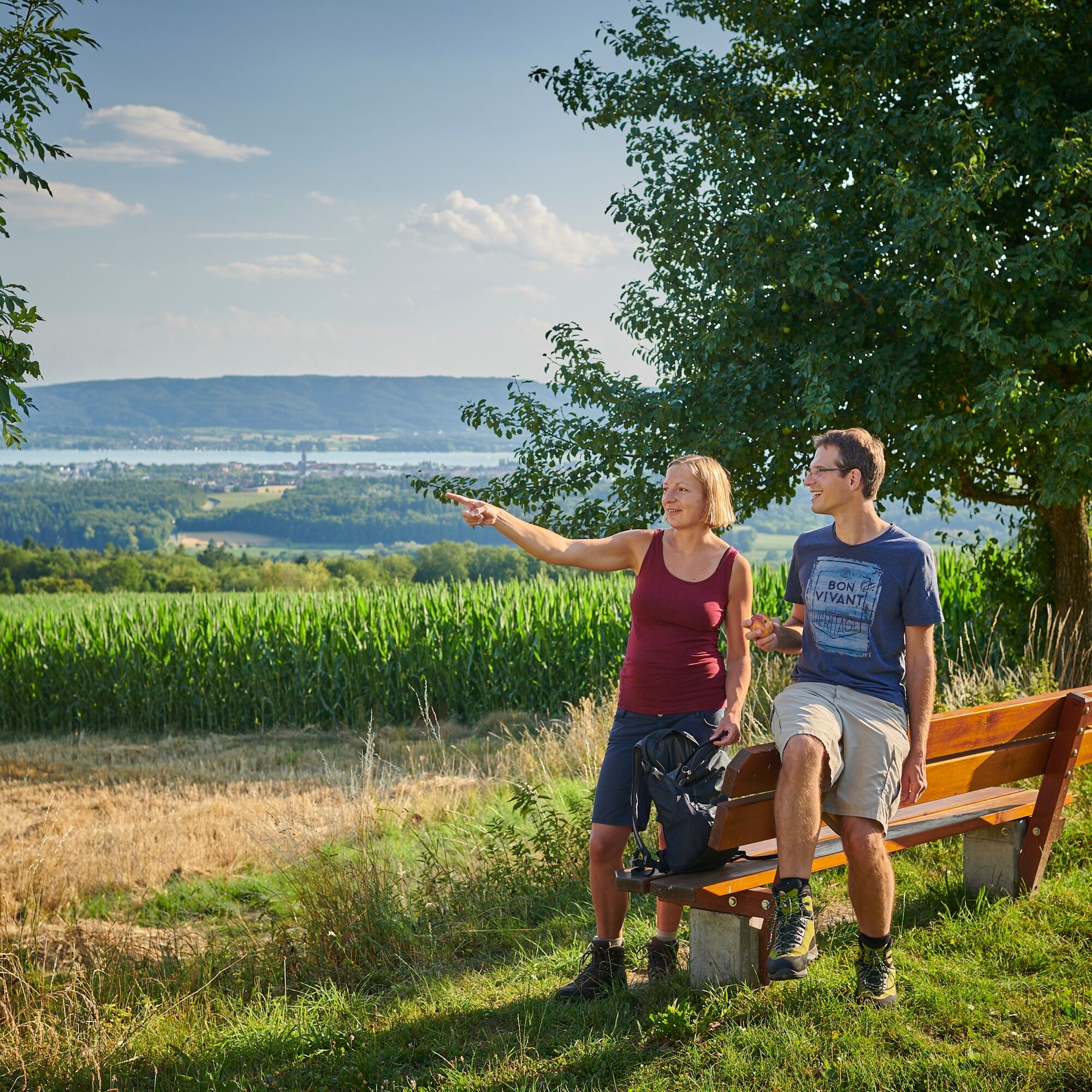
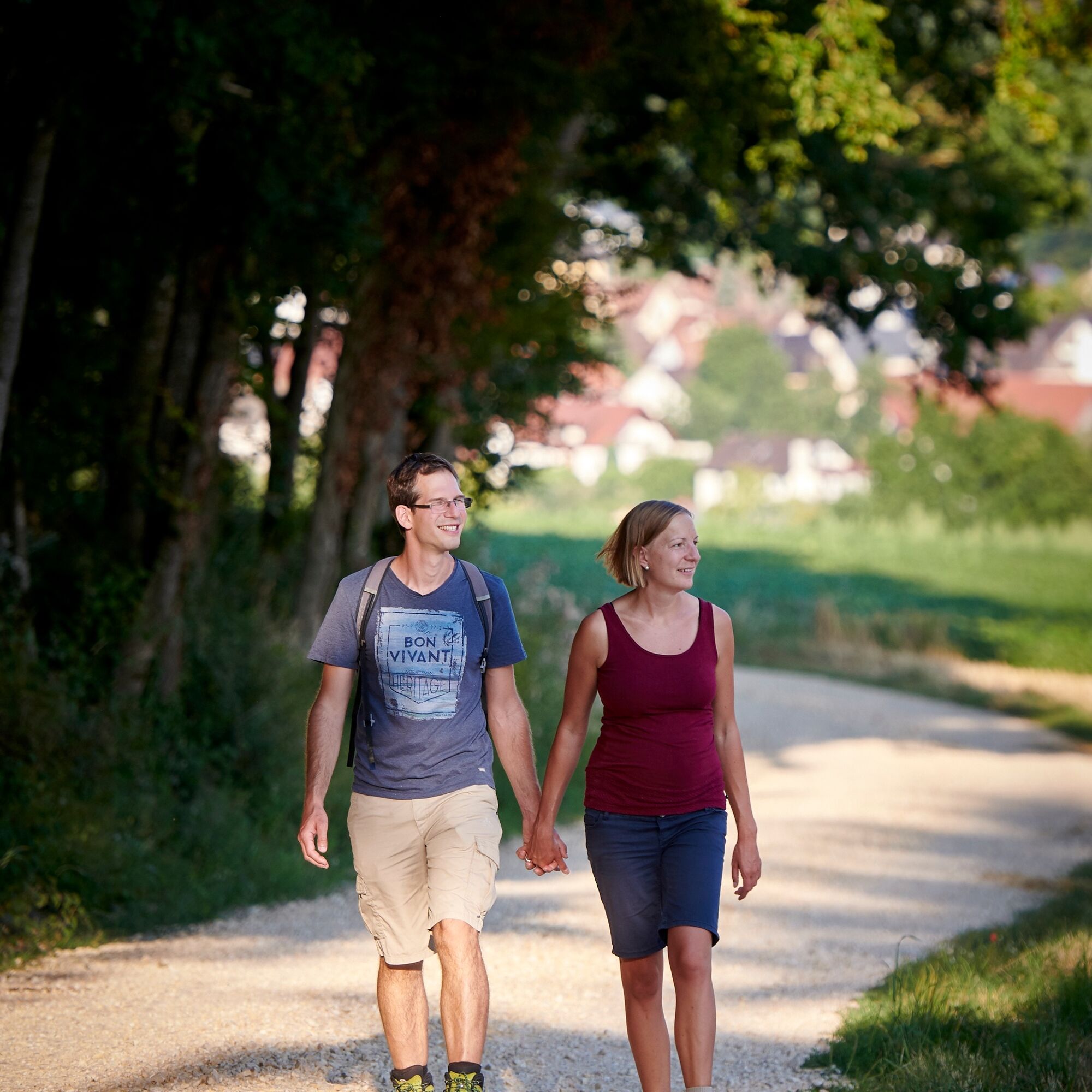
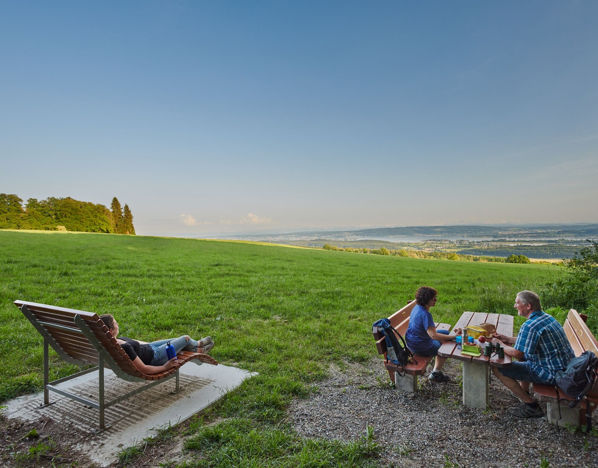
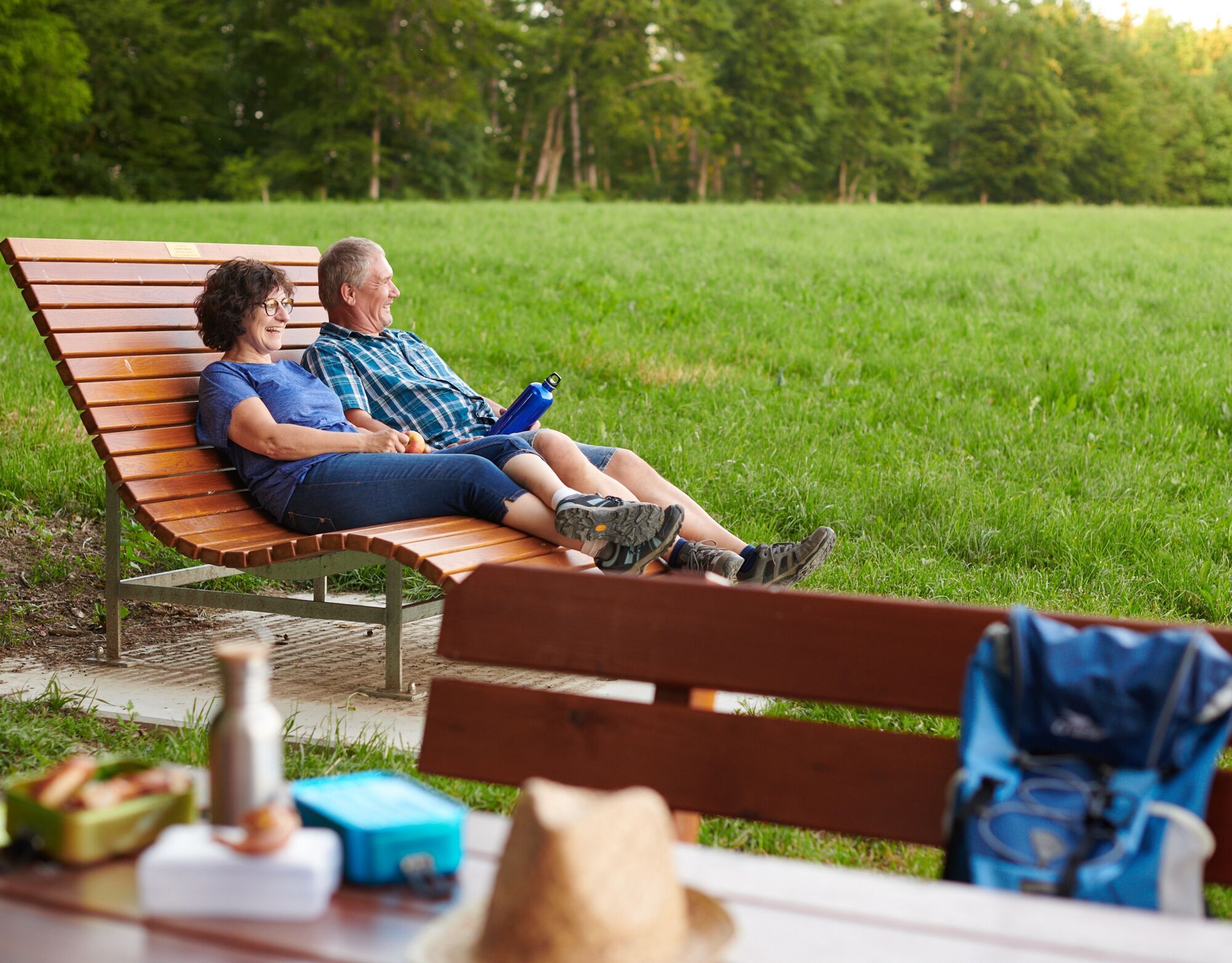

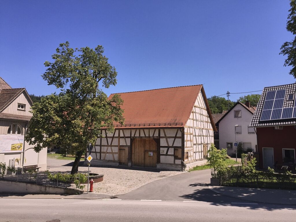
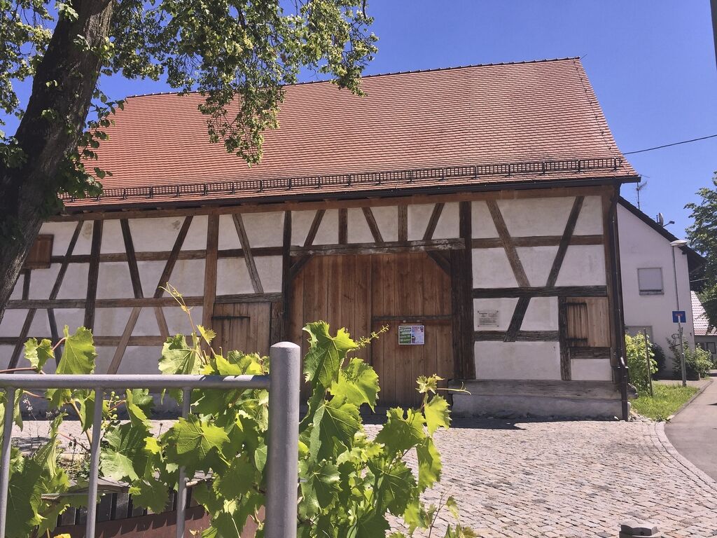
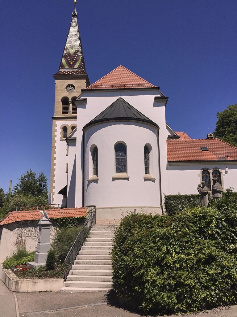
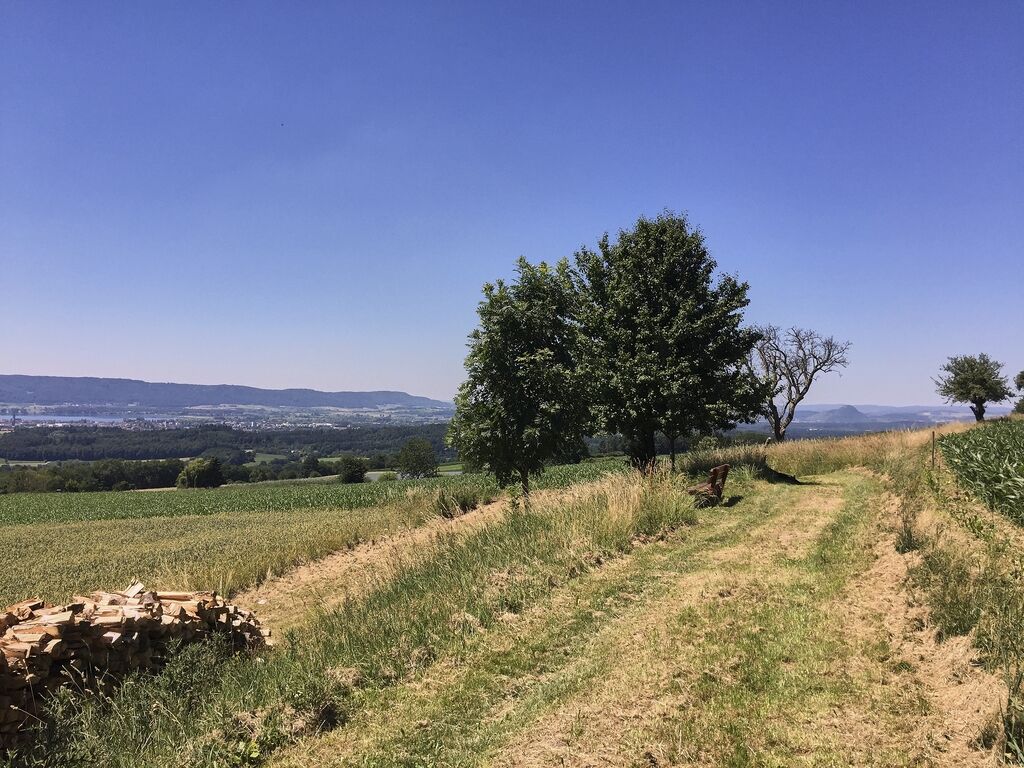

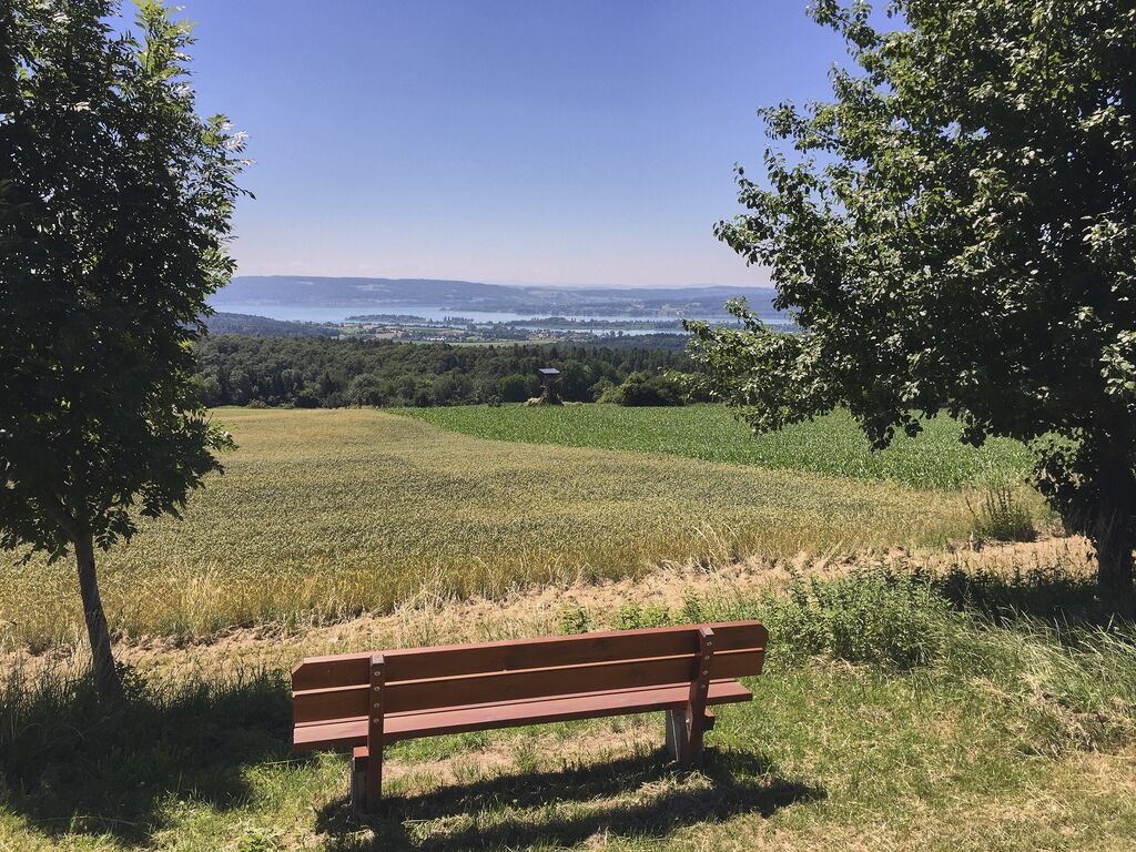

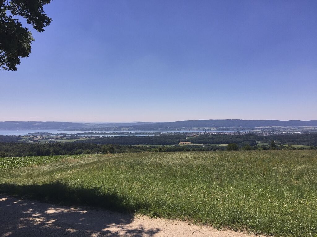

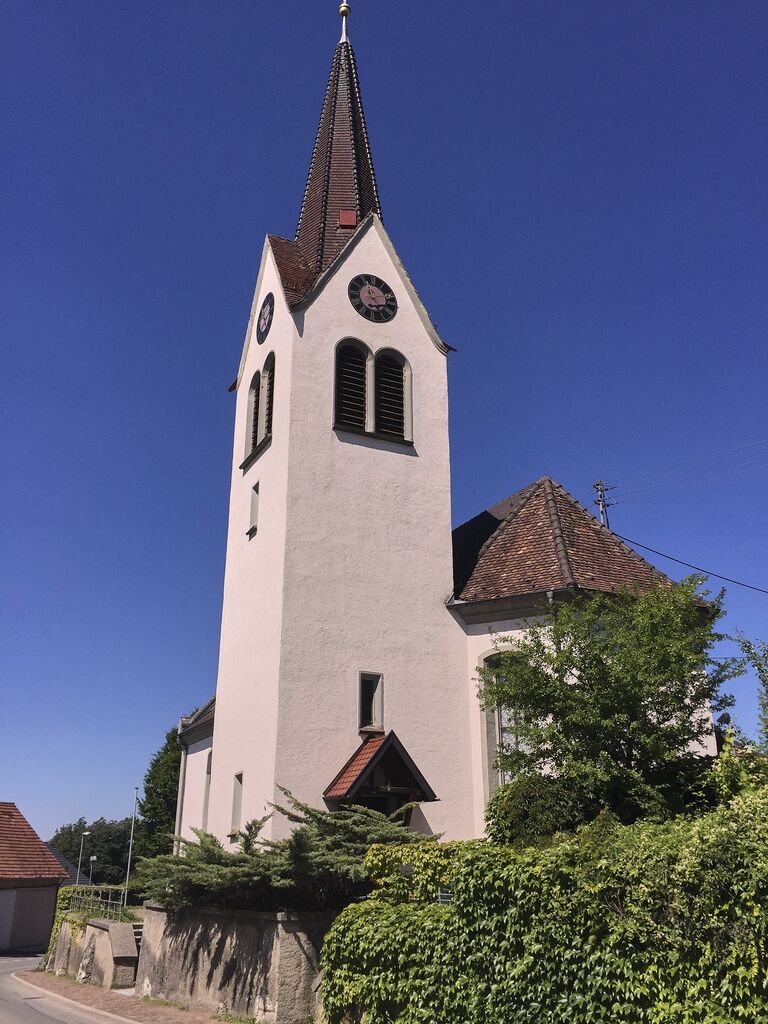
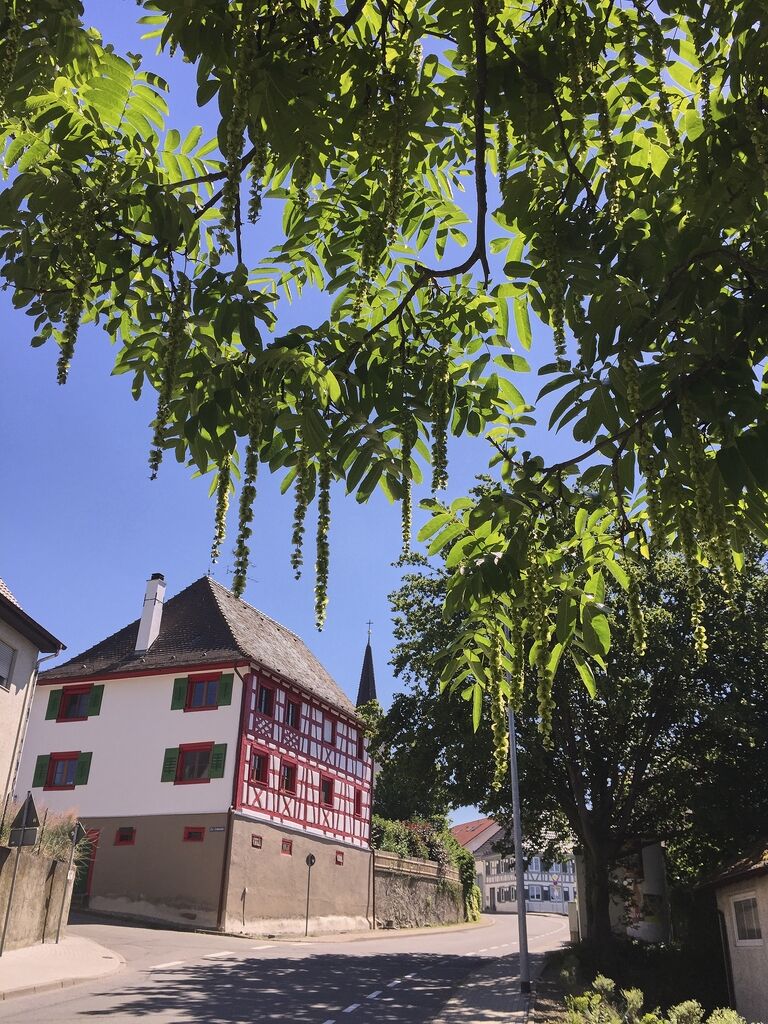
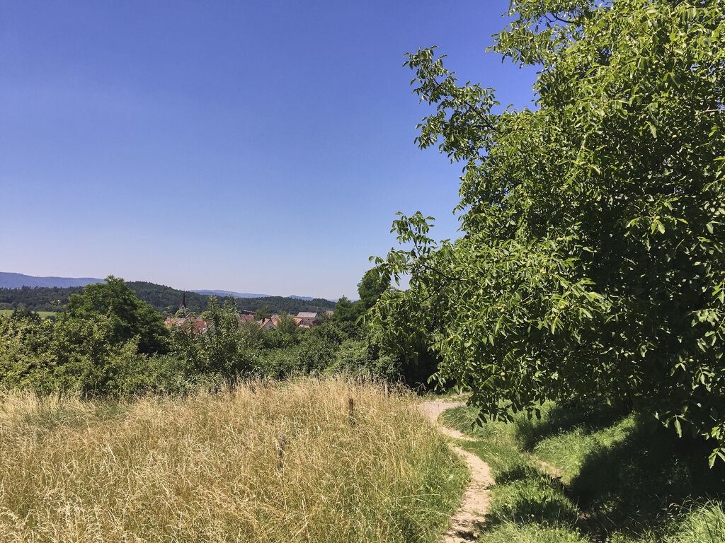
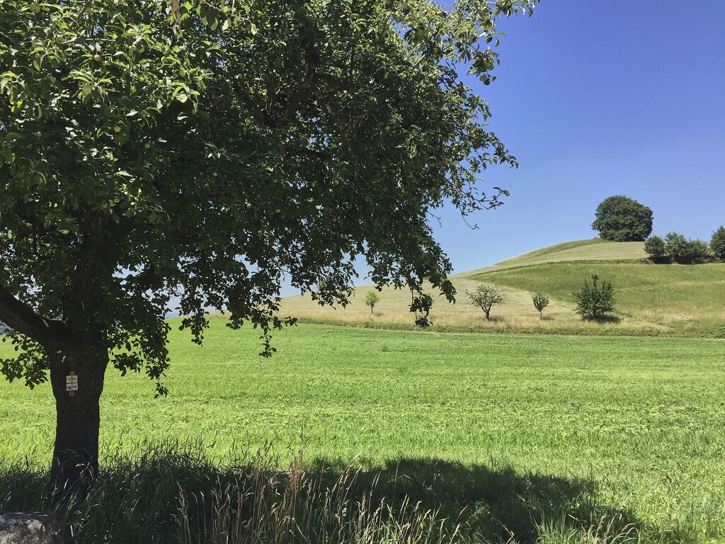


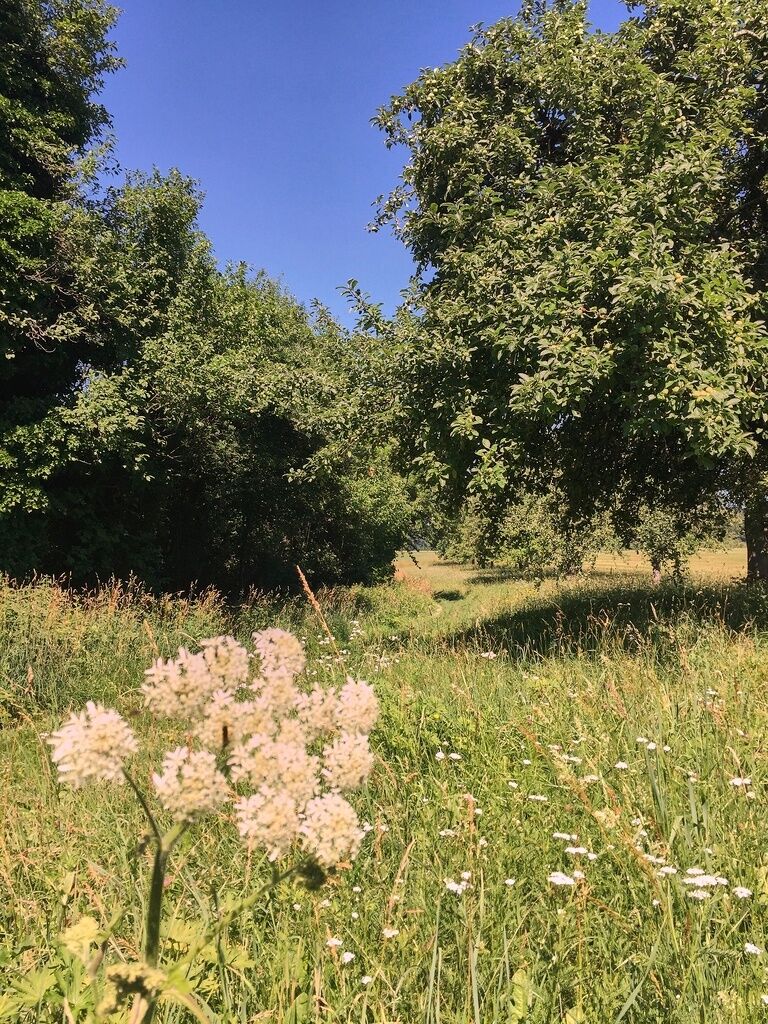
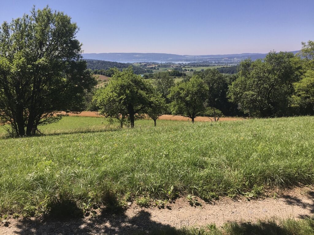

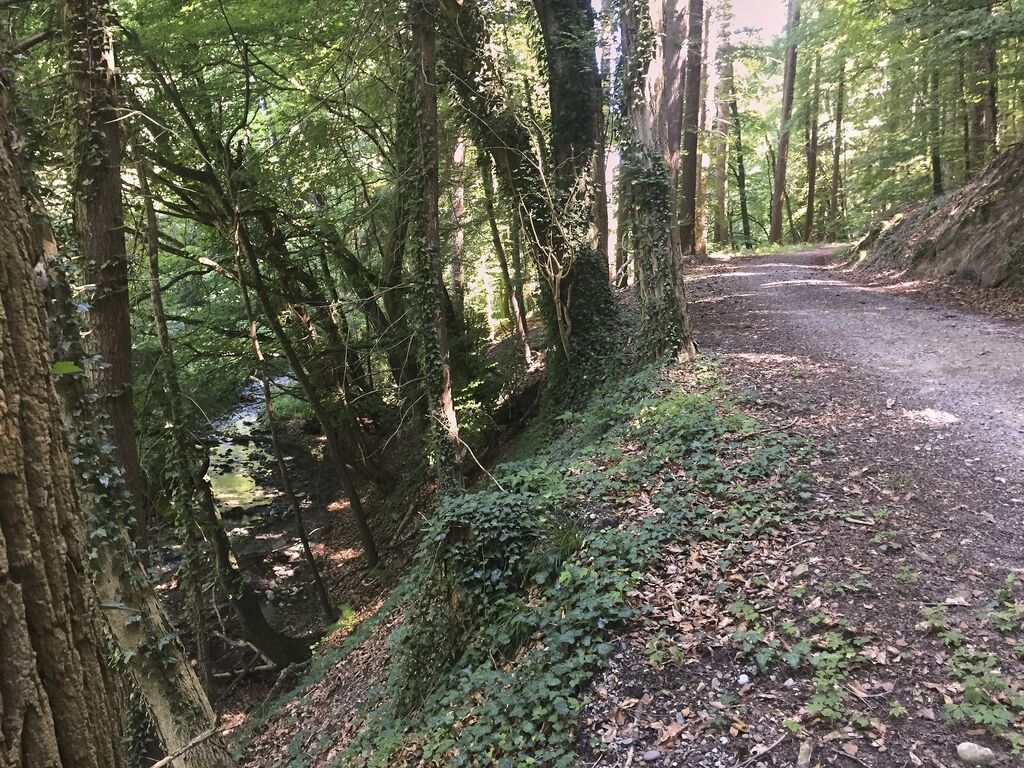
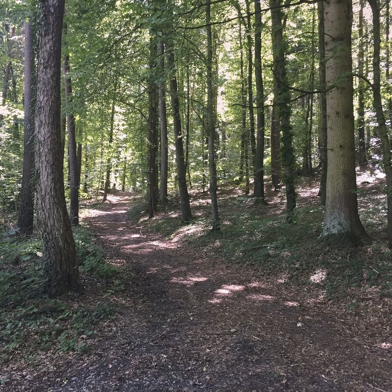
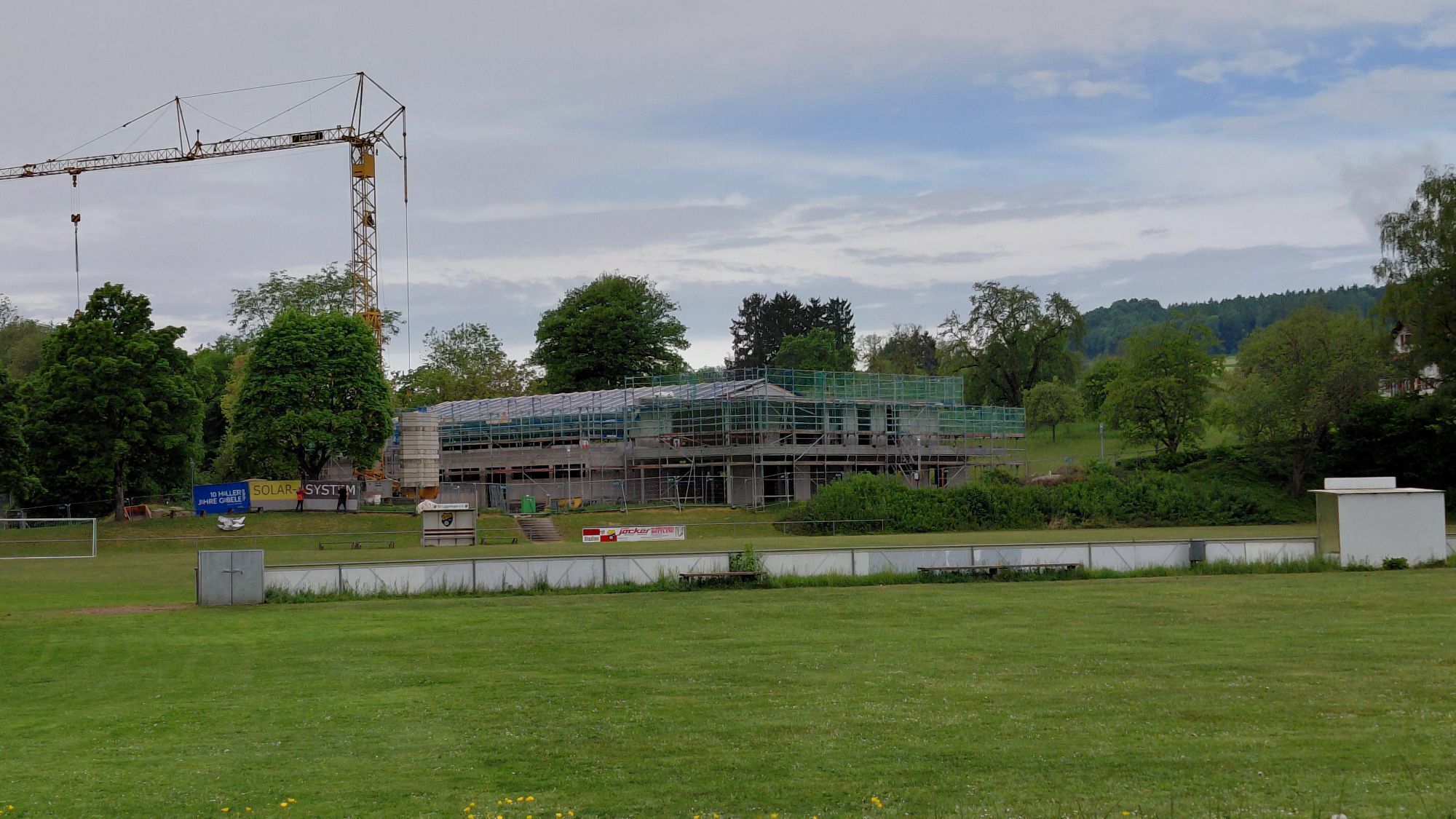
From the parking lot at the Litzelhardhalle in Liggeringen, it first goes through the village and then continues along a field path past the cemetery. The path now steadily climbs and repeatedly offers wide panoramic views over the region. Through the forest, it then goes downhill towards Güttingen, soon reaching an idyllic forest stream. It continues through Güttingen. At the end of the village, the path turns left and leads along meadows towards Sonnenhof. A detour to the Vogelherd Hill is highly recommended here, as it opens up an almost 360° panorama of the surroundings. From here, a scenic path again leads along the edge of the forest towards Liggeringen. At the sports field, the path turns right across the meadow and goes through a small woodland. Now the main road must be crossed. Along another forest stream, the path gently climbs back to the starting point.
Good footwear is recommended.
By train to Radolfzell central bus station (ZOB), from here by city bus line 6 to Liggeringen village centre or Güttingen village square.
Litzelhardthalle Liggeringen parking lot
At the farm shop of the Sonnhof you can quench your thirst with farm-produced apple juice.
Priljubljeni izleti v okolici
- 4.0
Around the island of Reichenau
svetlobaPohodništvo 10.9 km - 5.0
Mindelsee-Runde
svetlobaPohodništvo 7.83 km Hike on the panorama route of the Höri Peninsula
srednjaPohodništvo 8.11 km- 4.0
Bodanrück-Runde
težkoPohodništvo 8.36 km - 4.0
Circular hike Gaienhofen-Middle Höri
srednjaPohodništvo 12.6 km - 5.0
Überlingen, Baden-Württemberg
svetlobaPohodništvo 9.12 km - 3.7
Firstweg Langenmos
srednjaPohodništvo 5.76 km - 4.0
Rundwanderung Liggeringen - Bodman
srednjaPohodništvo 13.0 km Nature enjoyment on the circular hiking route with a view of Freudental Castle
svetlobaPohodništvo 5.67 km- 5.0
"Hegauer Kegelspiel" Hohentwieler
srednjaPohodništvo 7.21 km

Pohodništvo in sledenje


Ne zamudite ponudb in navdiha za naslednje počitnice
Vaš e-poštni naslov je bil dodan na poštni seznam.