


Short trip eastern Schienerberg
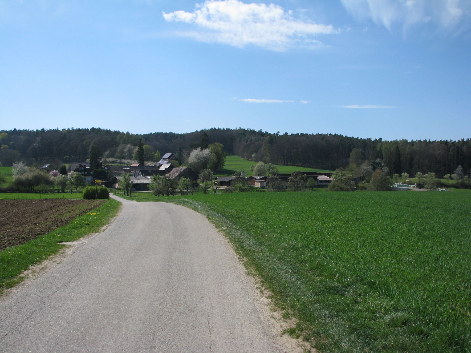
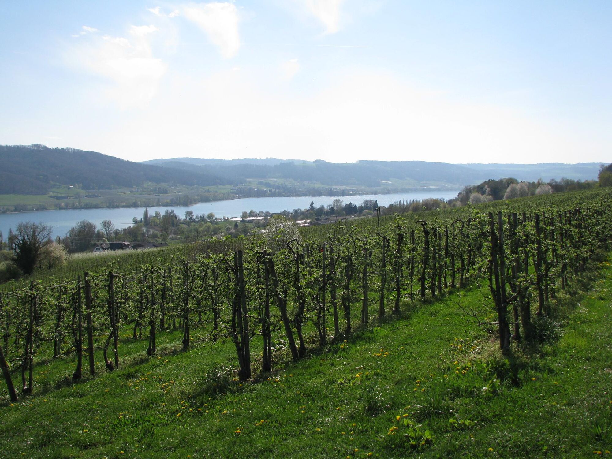
The route to Honisheim is paved, low-traffic, and partially wooded. There you reach the highest point at 542 m. Afterwards, you are richly rewarded with a fantastic panorama with a slight downhill slope....
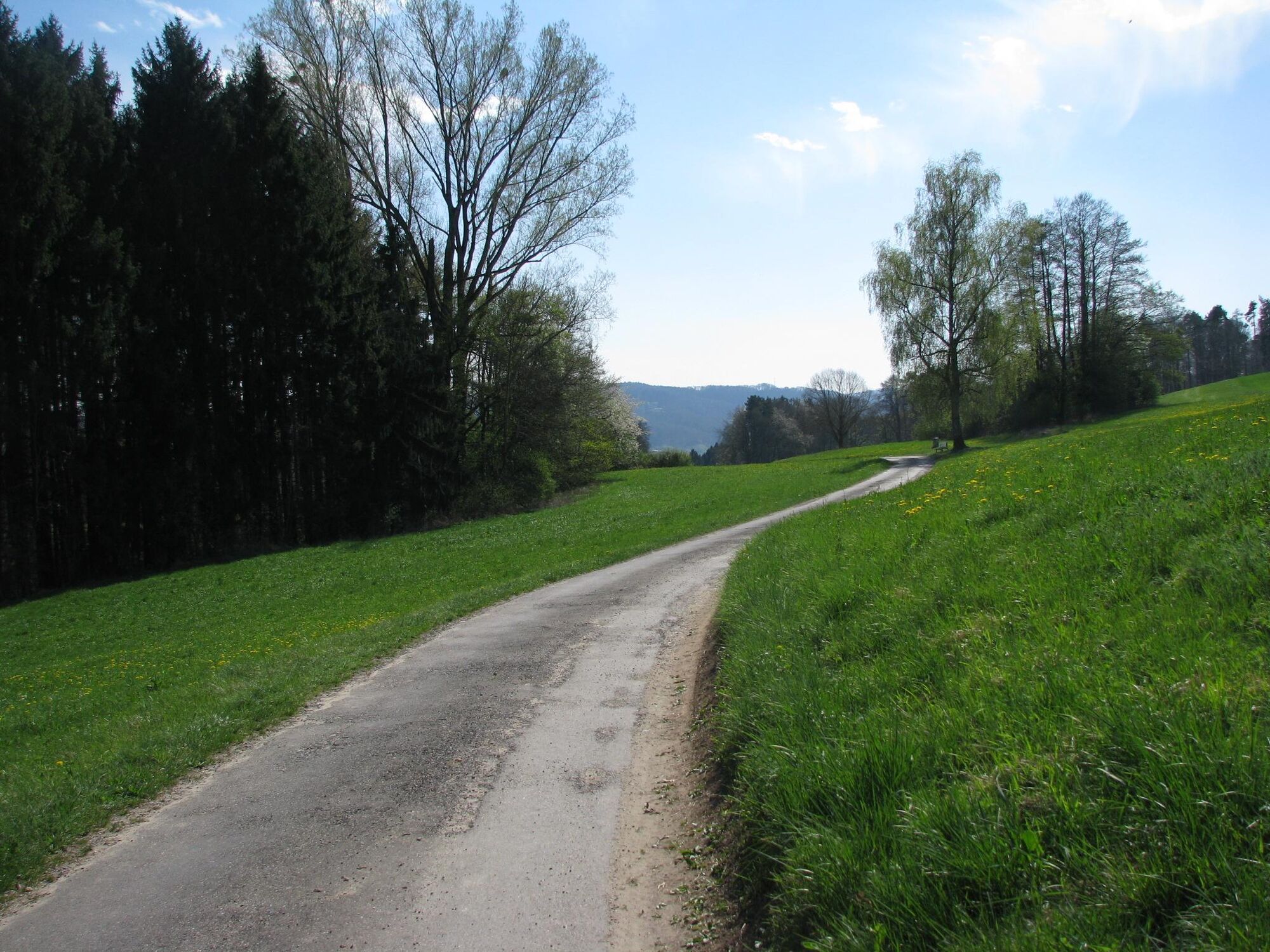
The route to Honisheim is paved, low-traffic, and partially wooded. There you reach the highest point at 542 m. Afterwards, you are richly rewarded with a fantastic panorama with a slight downhill slope. On a well-ridable gravel path, it goes with a slight downhill along the Panoramaweg to Wangen.

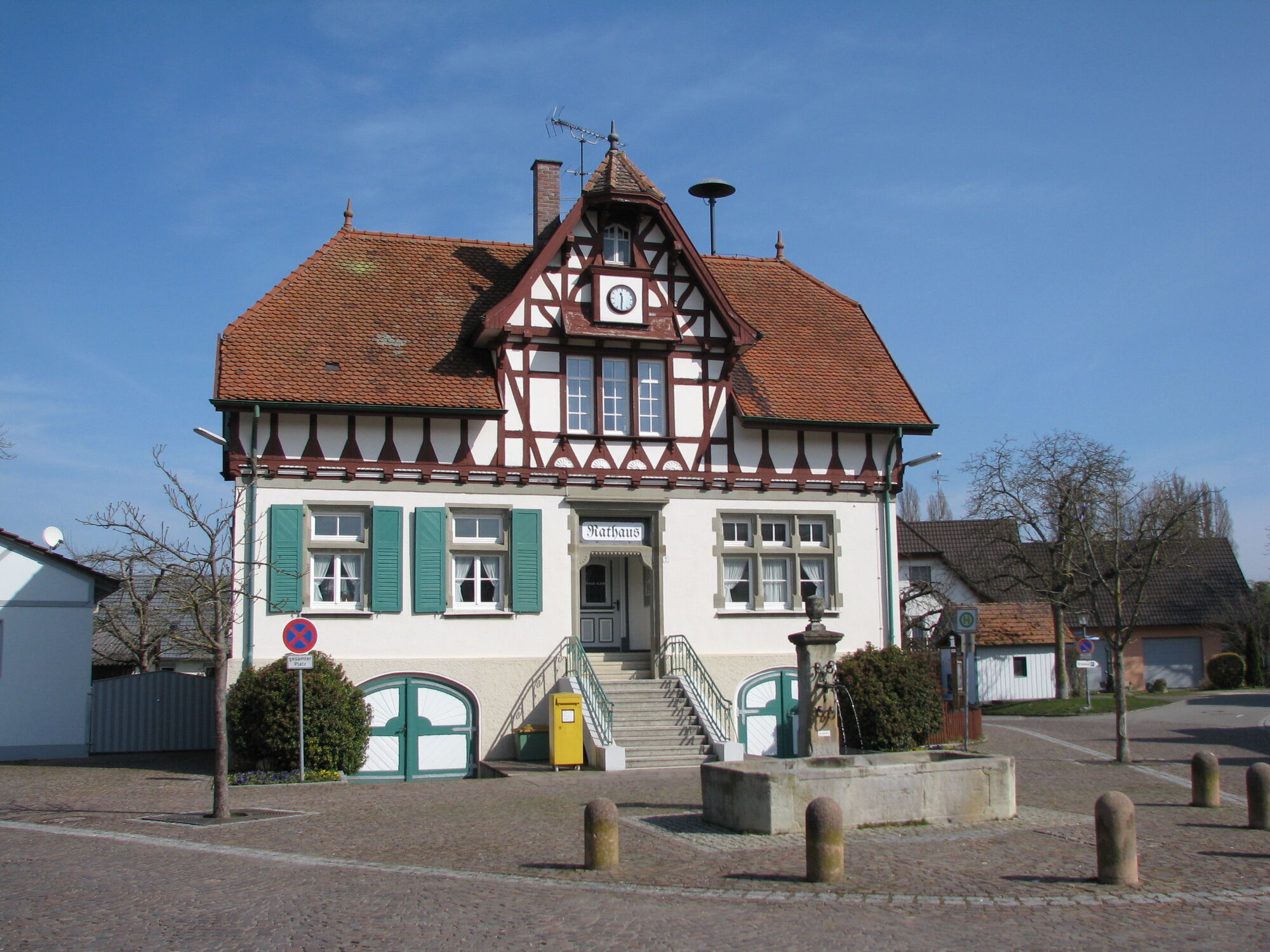
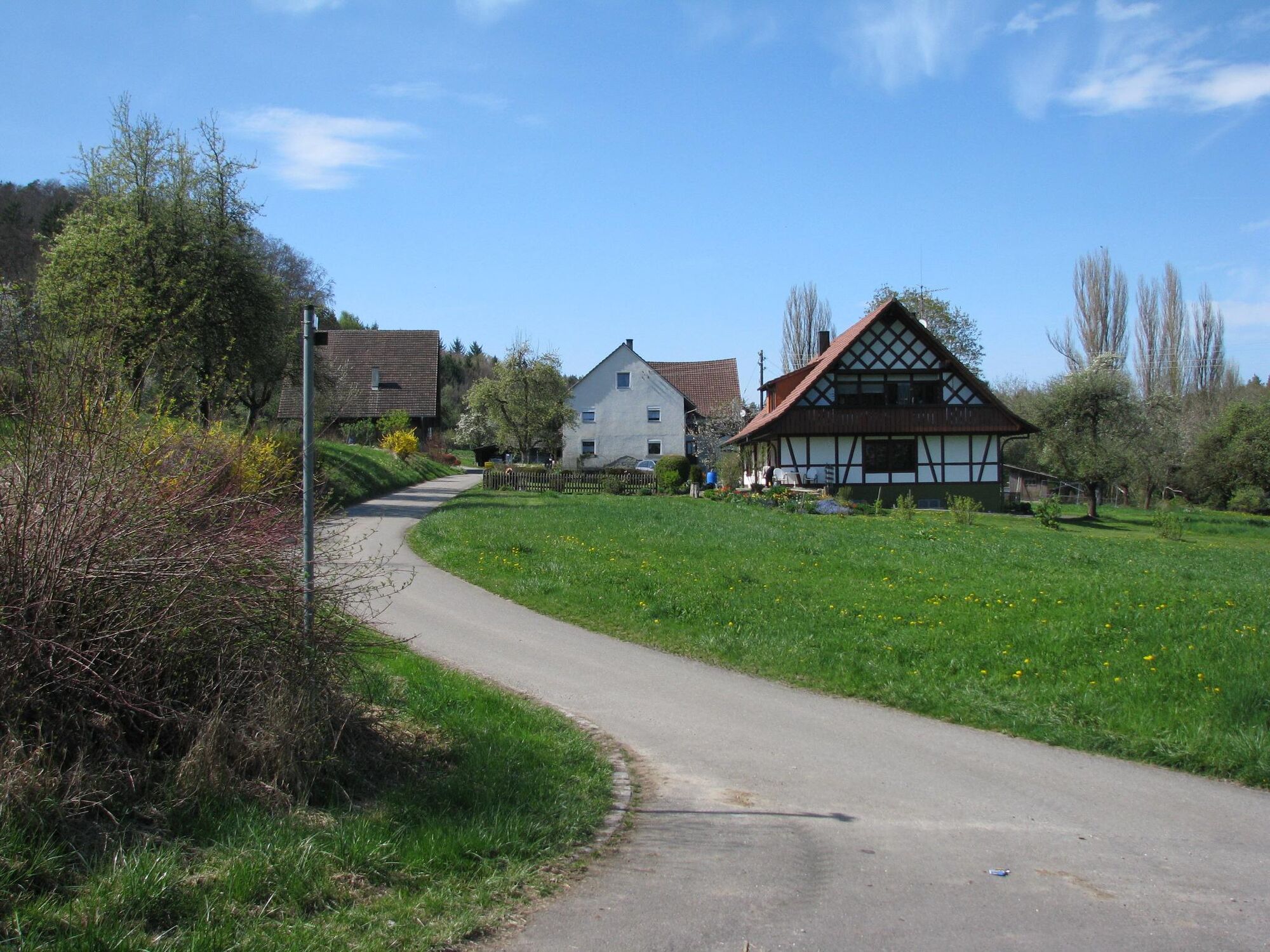
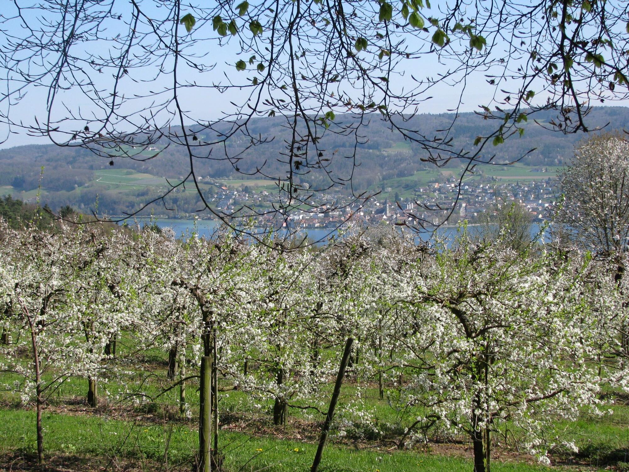
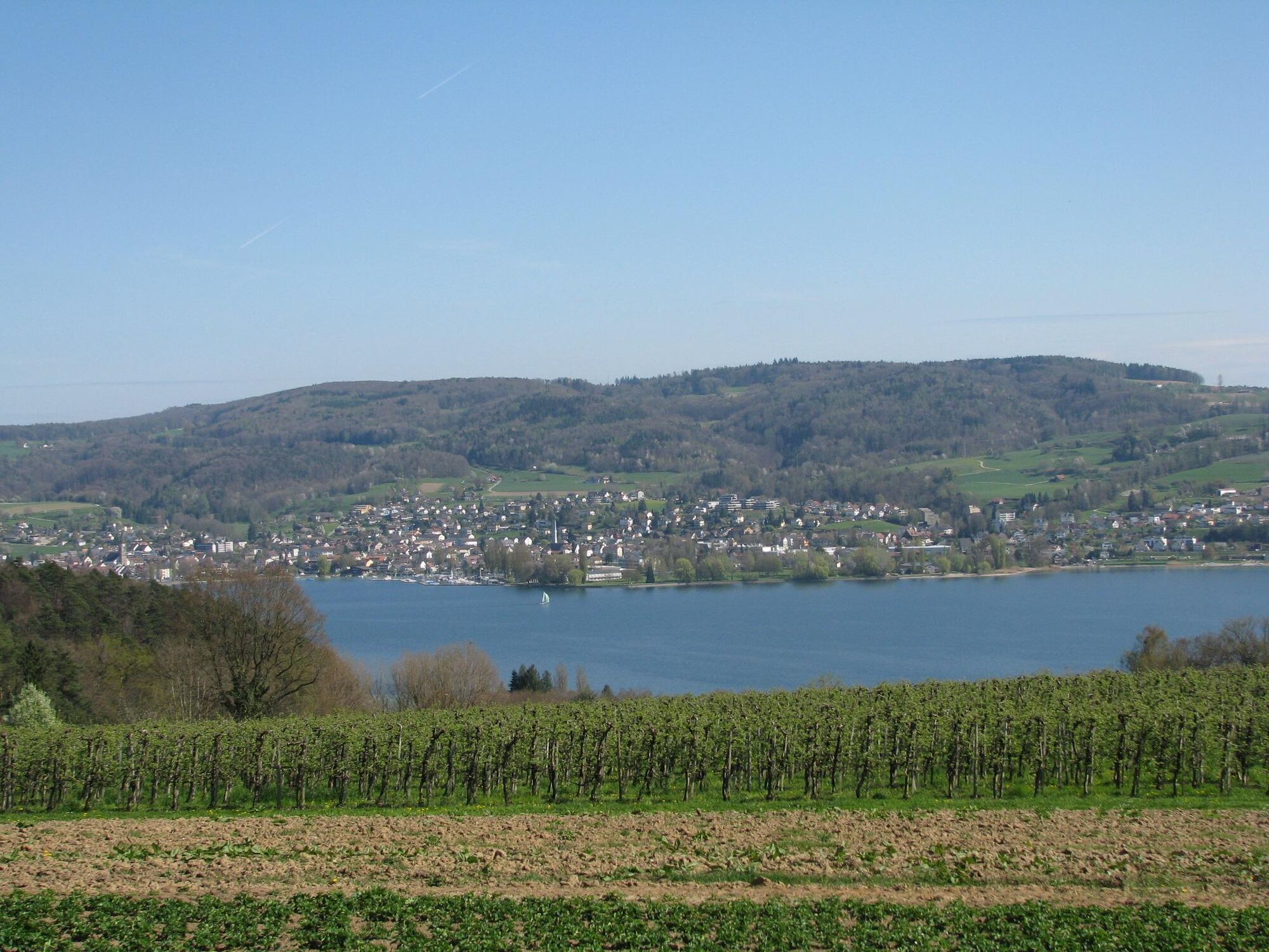
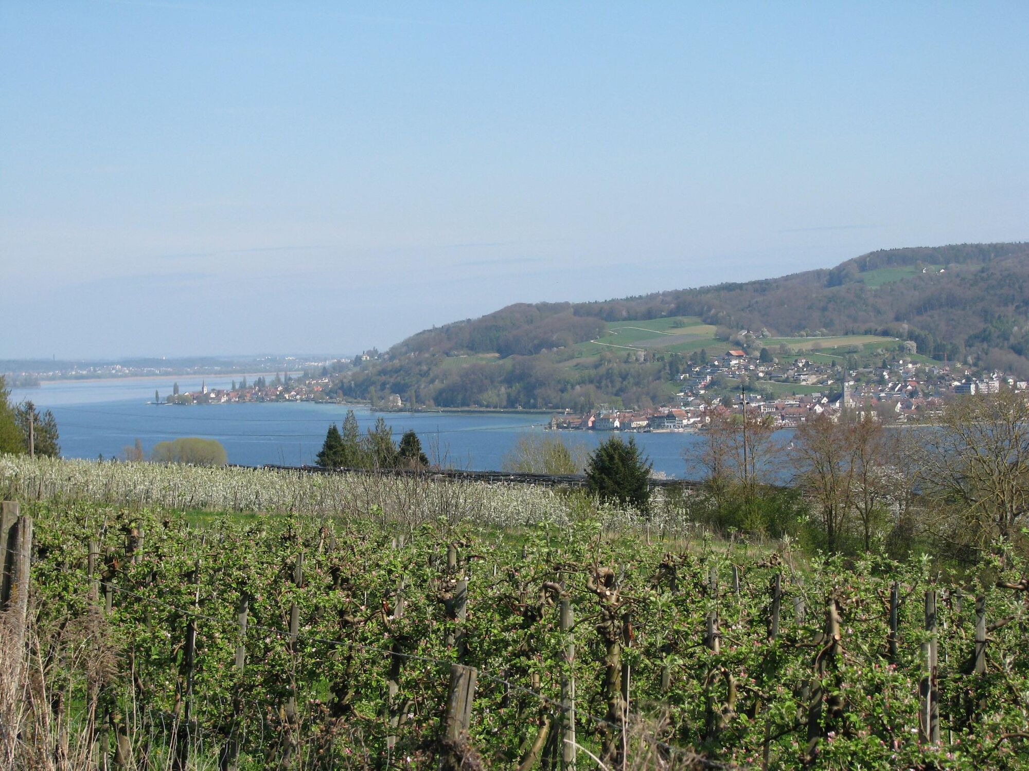
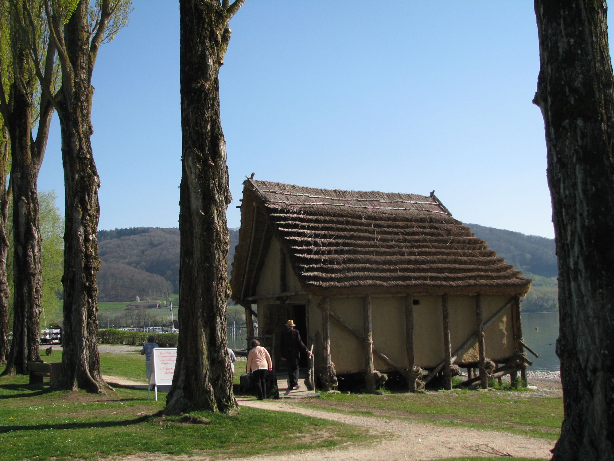
The start is at the parking lot of the Iznang beach, directly on the Lake Constance cycle path. You follow this to the Iznang town hall. From here, follow the road to Weiler. At the exit of Weiler, the bike path runs alongside the road to Gaienhofen. After a short climb through the forest (long oaks), turn right towards Balisheim. At the following crossroads, turn left and follow the low-traffic road to Honisheim. At the edge of the forest (Honisheim in sight), turn left and ride on good asphalt to the second fork. At this fork, turn right to the Hasenweg intersection. Here you enjoy the magnificent view towards Steckborn. After Hasenweg (short forest section), you reach the Panoramaweg and enjoy the wonderful view of the Lower Lake from Konstanz to Mammern. After the first hollow lane, the Jewish cemetery lies to the right (worth seeing). Then keep left and continue towards the lake. Before the Löble carpentry, cross the bike path. On the Kaspar-Löhle-Weg, you come to the Hinterhorn (information board). On the following path, push the bike to the beach. Return via the Lake Constance cycle path to the starting point Iznang.
Da
via Höri road L192
Although the Höribus 200 stops in Iznang, unfortunately it does not take bicycles.
Iznang beach
Visit the Jewish cemetery in Wangen, farm shop Blanhof, fruit sales stand Hangarter, Wangen beach with the possibility to stop for refreshments
Spletne kamere s turneje
Priljubljeni izleti v okolici
-
4.0
Around the island of Reichenau
svetlobaPohodništvo 10.9 km -
5.0
Mindelsee-Runde
svetlobaPohodništvo 7.83 km -
Hike on the panorama route of the Höri Peninsula
srednjaPohodništvo 8.11 km -
4.0
Bodanrück-Runde
težkoPohodništvo 8.36 km -
4.0
Circular hike Gaienhofen-Middle Höri
srednjaPohodništvo 12.6 km -
3.7
Firstweg Langenmos
srednjaPohodništvo 5.76 km -
4.0
Rundwanderung Liggeringen - Bodman
srednjaPohodništvo 13.0 km -
5.0
Mühlsberg route
srednjaPohodništvo 8.67 km -
Stein am Rhein - Hohenklingen Castle - Stein am Rhein
težkoPohodništvo 7.79 km -
Nature enjoyment on the circular hiking route with a view of Freudental Castle
svetlobaPohodništvo 5.67 km

Pohodništvo in sledenje


Ne zamudite ponudb in navdiha za naslednje počitnice
Vaš e-poštni naslov je bil dodan na poštni seznam.