







Kahlenbergerdorf route
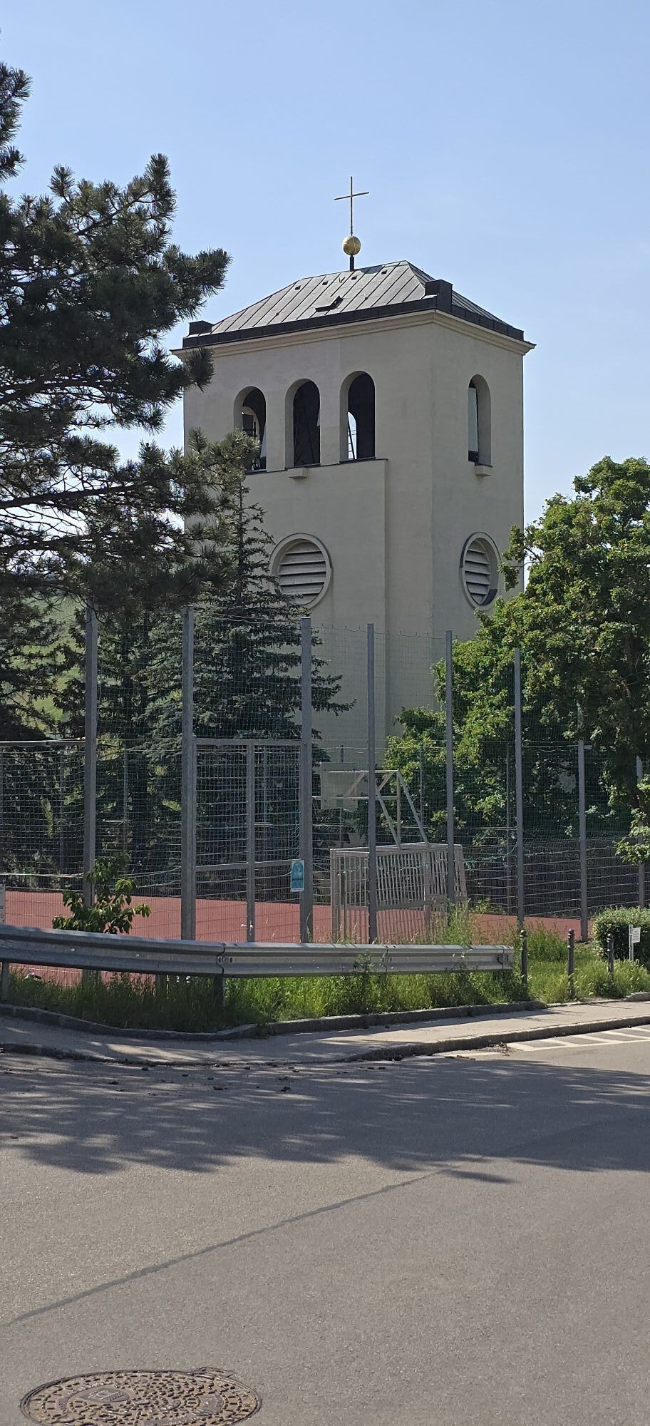
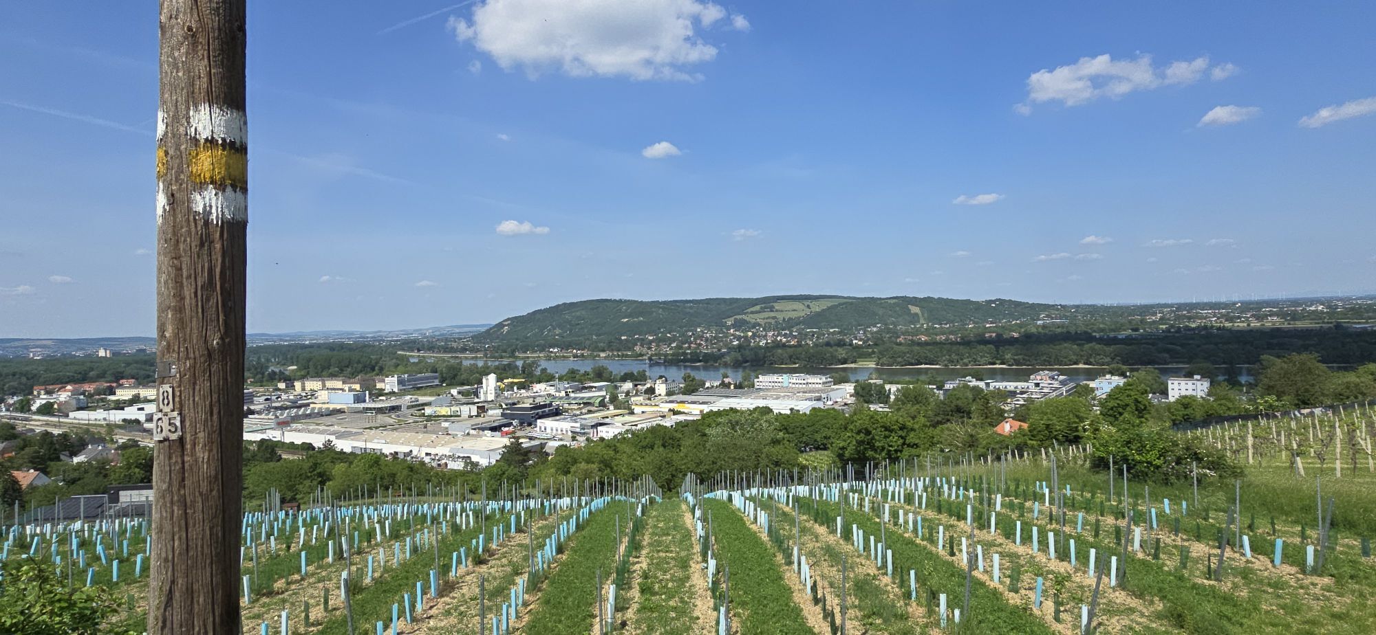
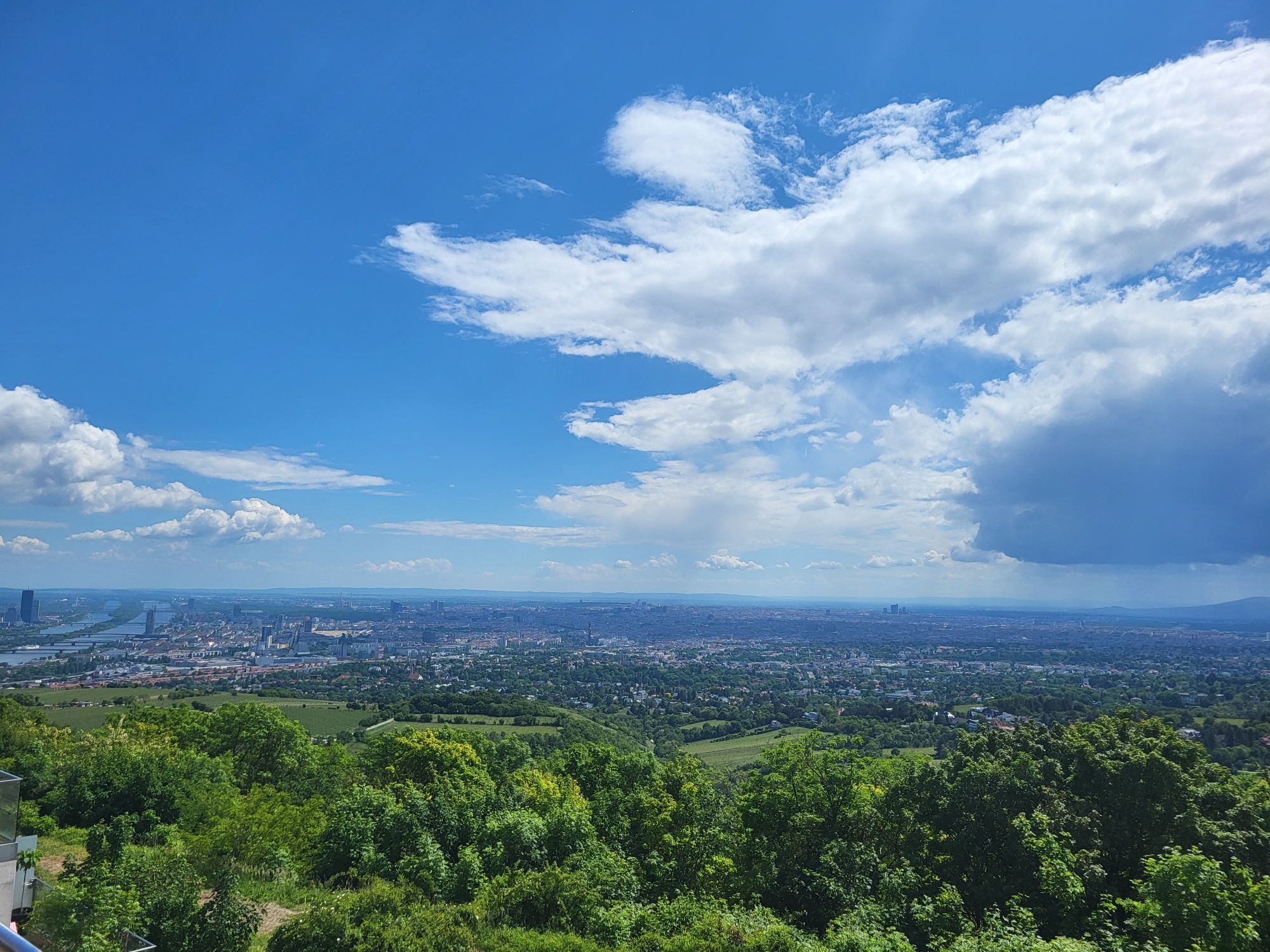
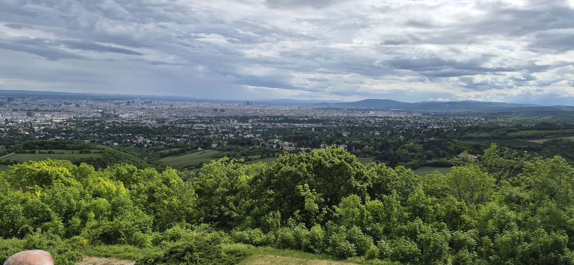
The ongoing maintenance of this route is supported by MOUNTAINBIKER.at.
The Kahlenbergerdorf route is a challenging mountain bike tour with a length of 38.81 kilometers and an elevation gain of 994 meters,...
The ongoing maintenance of this route is supported by MOUNTAINBIKER.at.
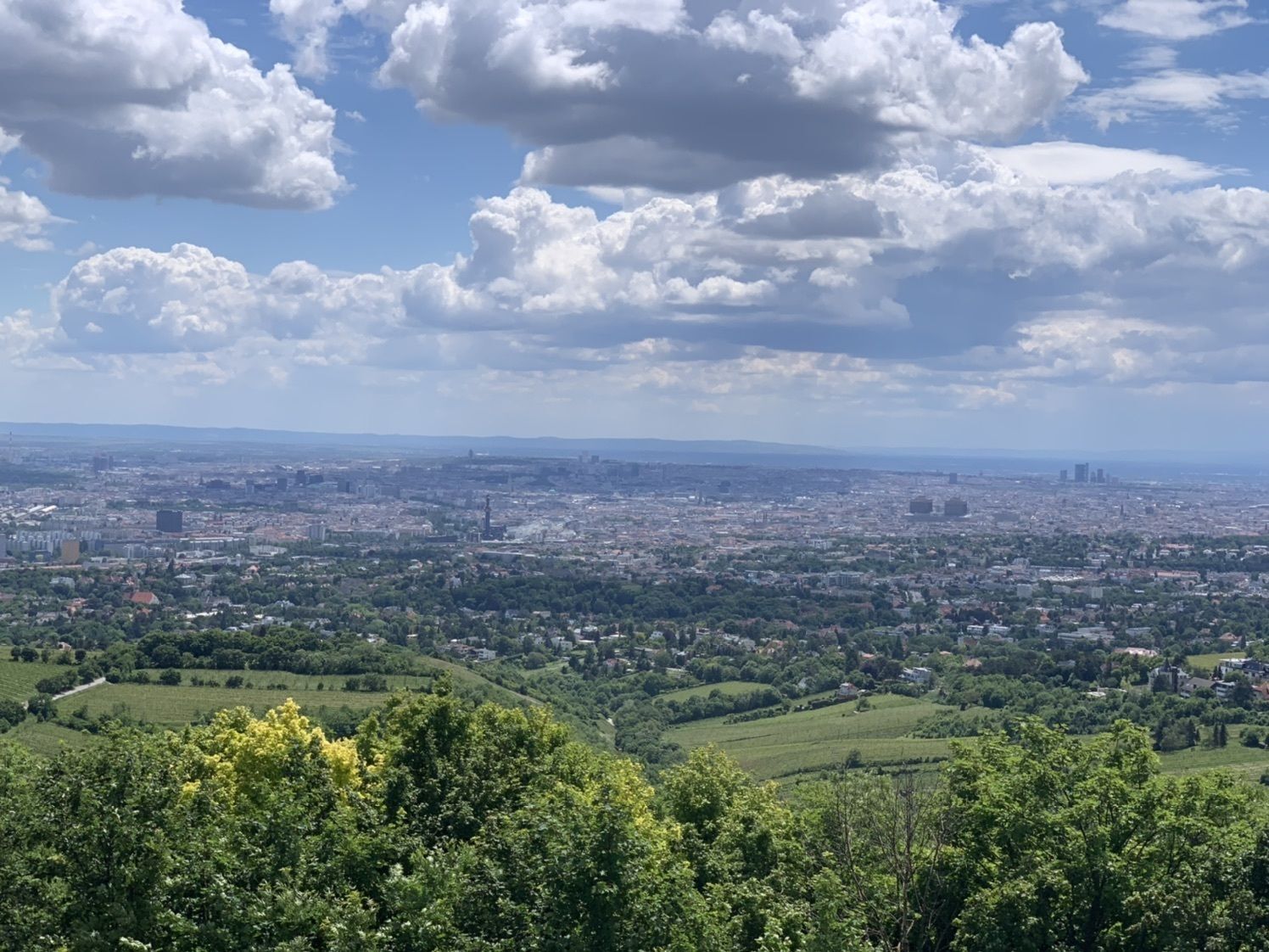
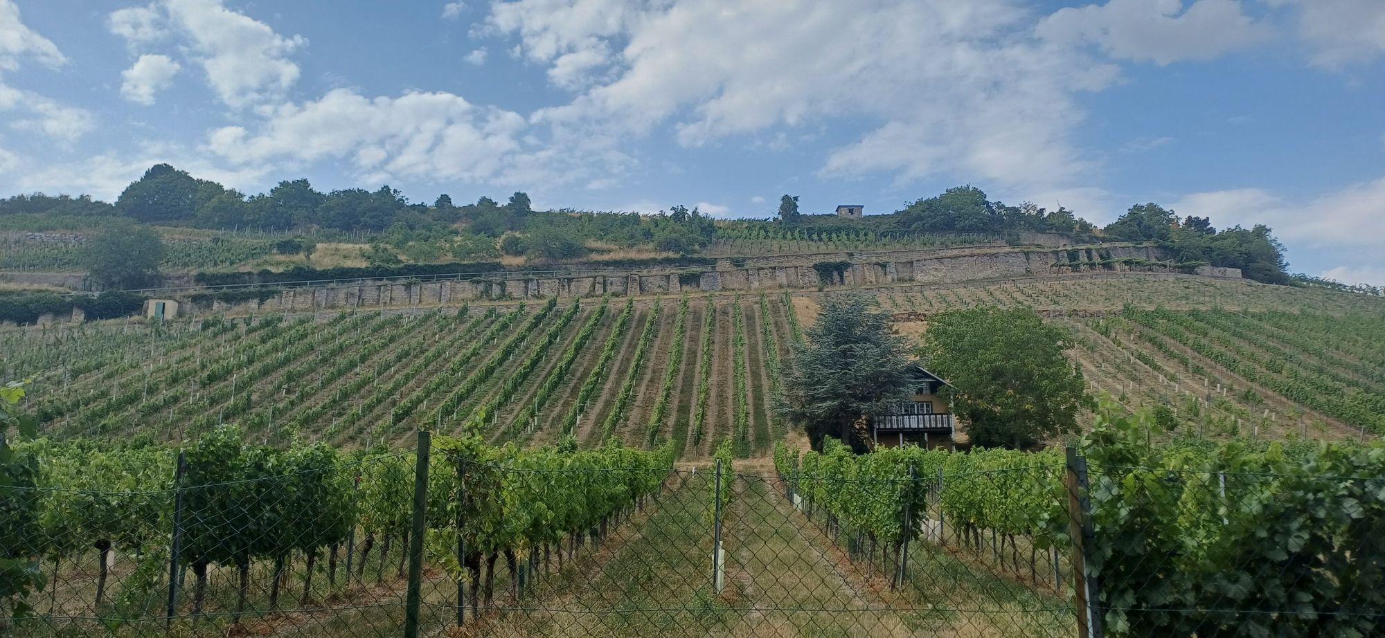
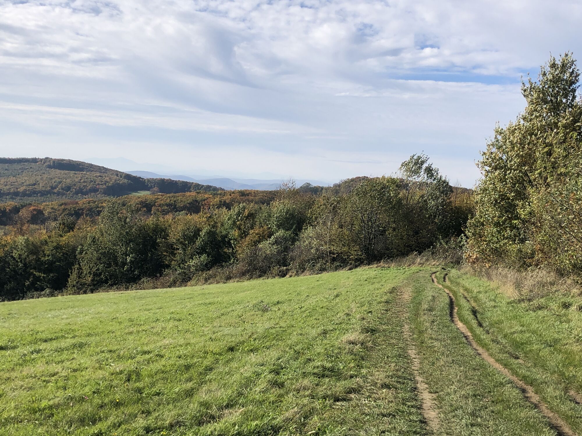
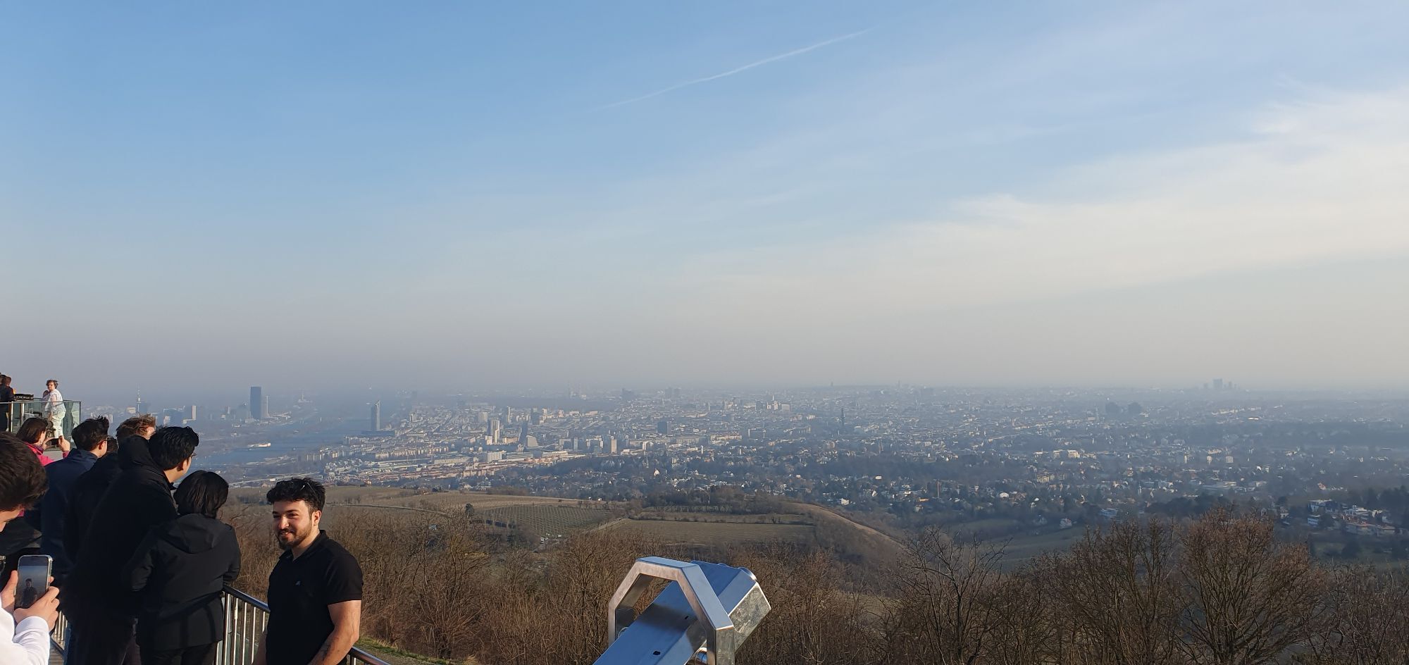
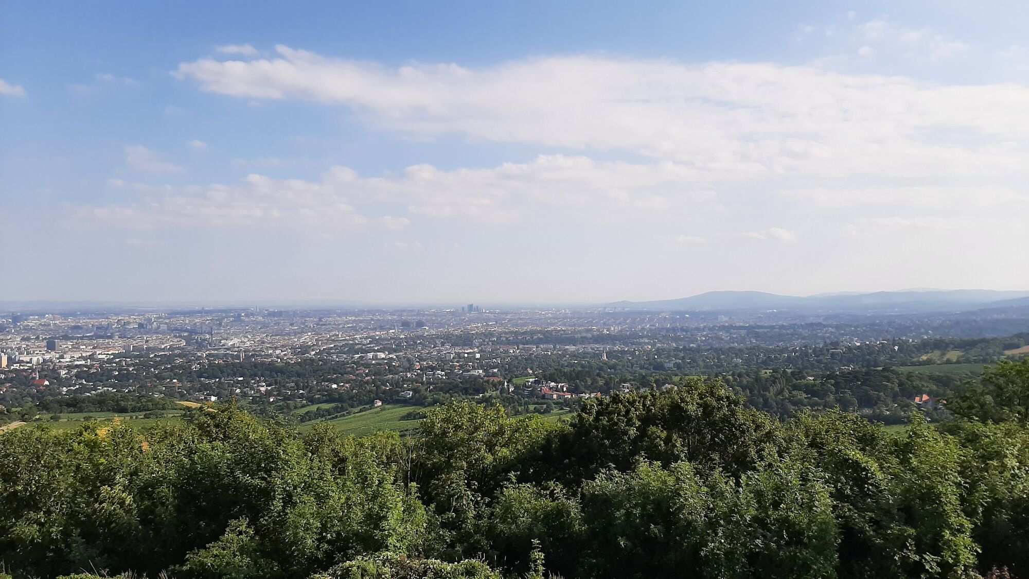
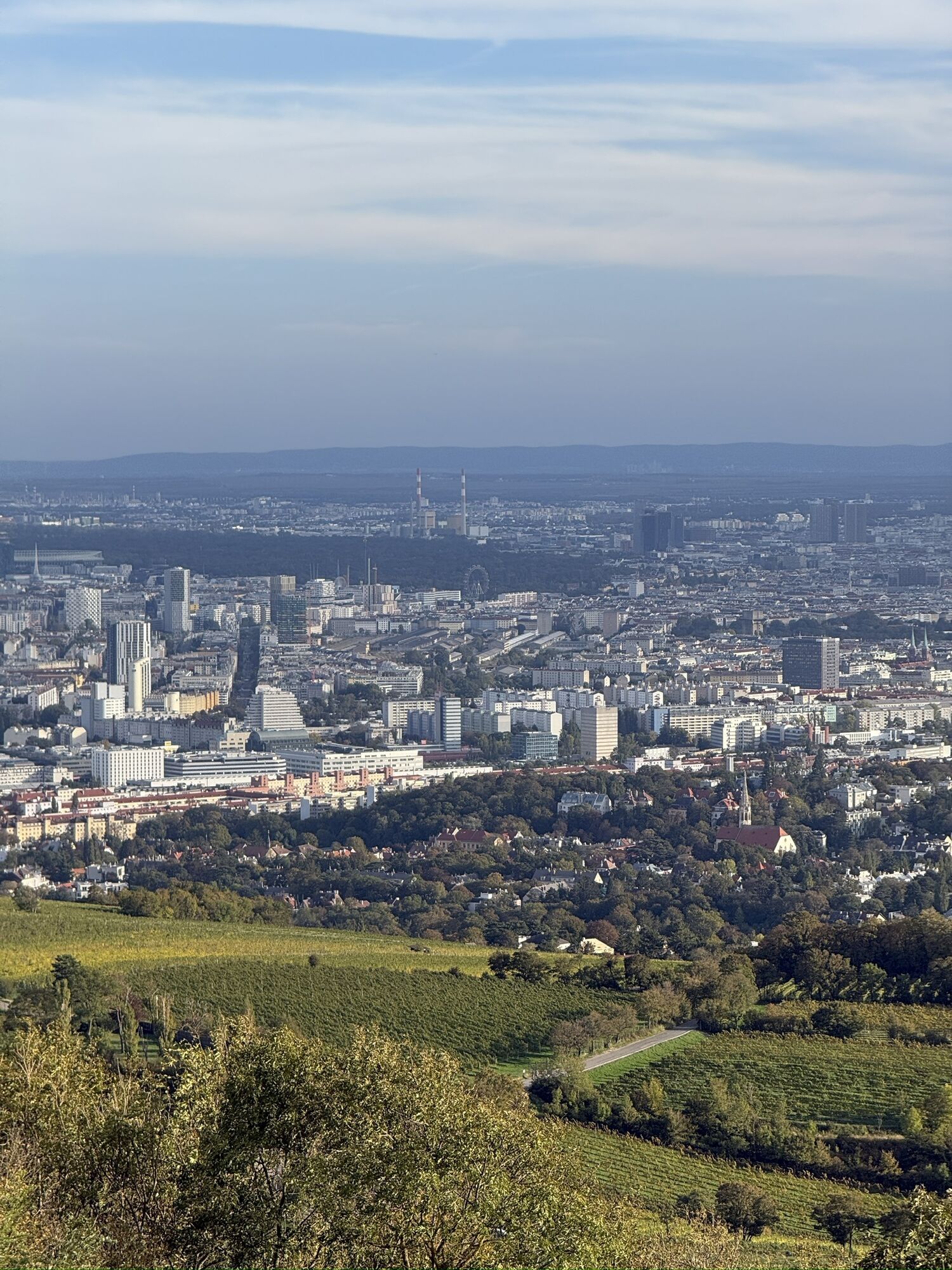
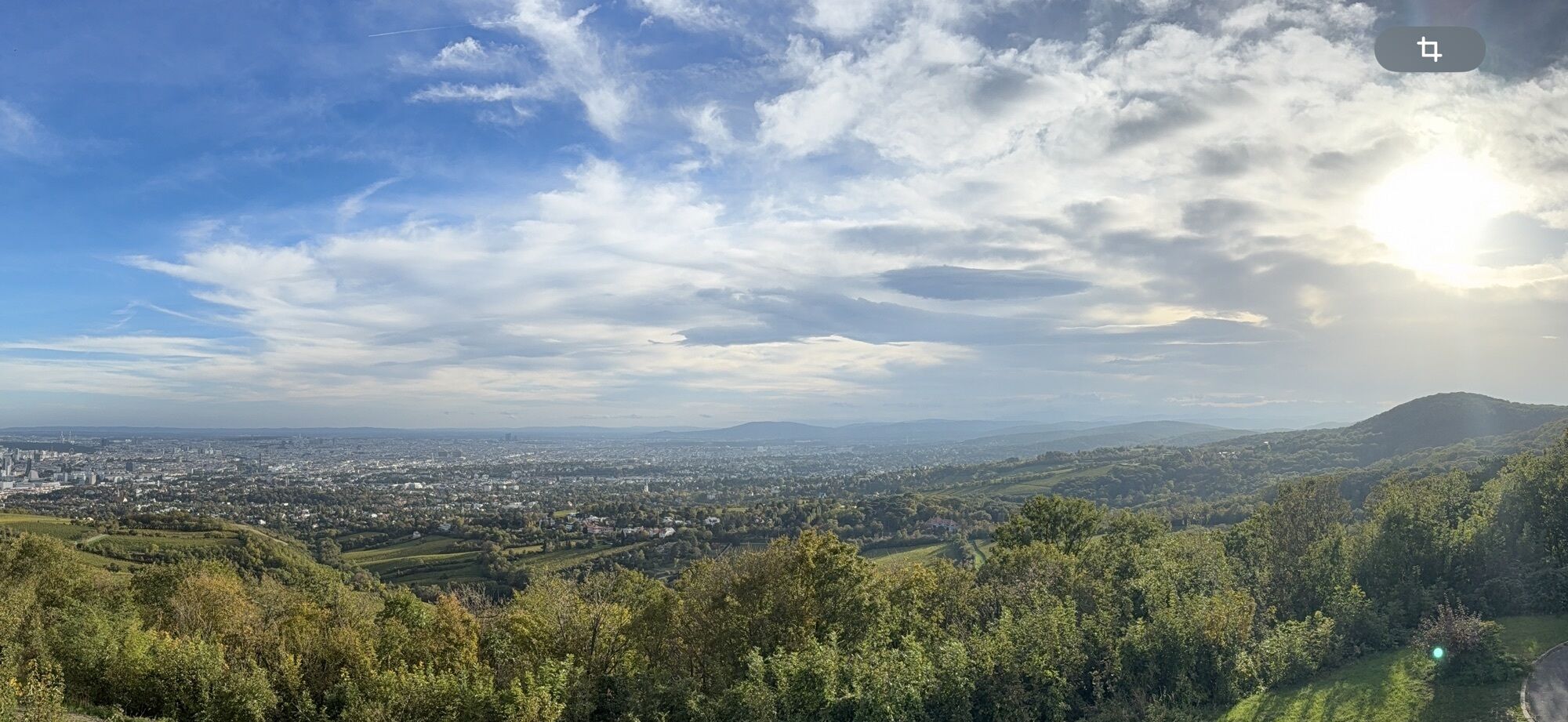
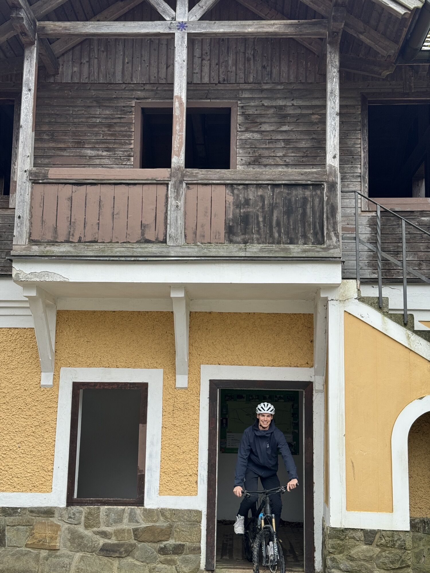
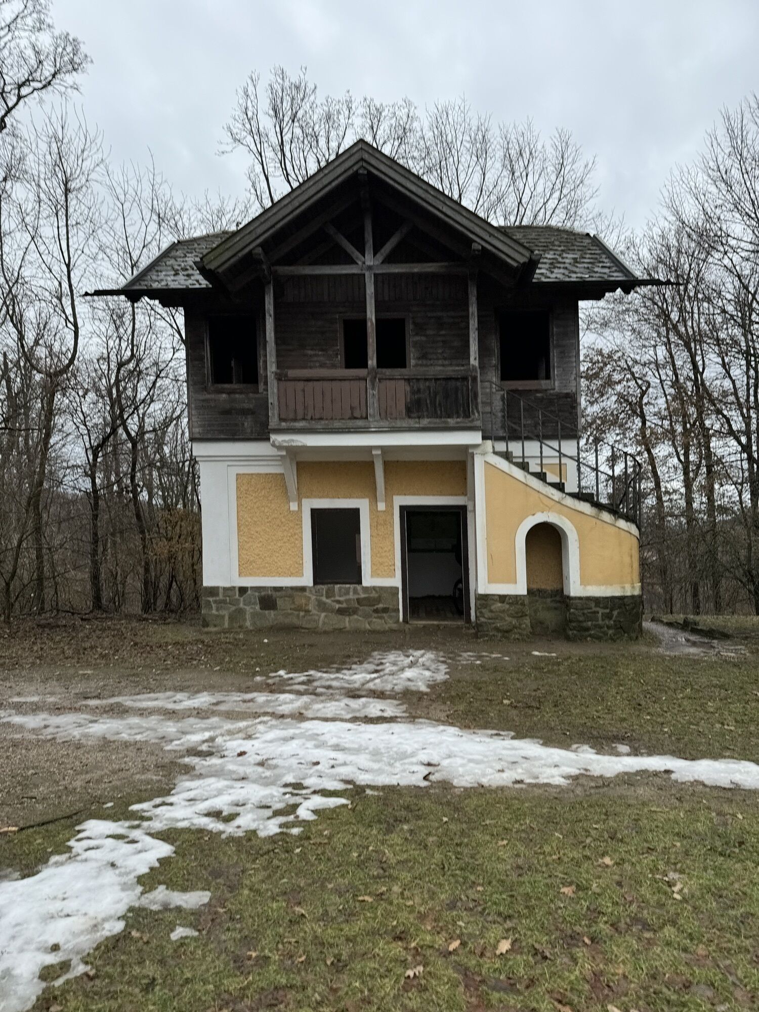
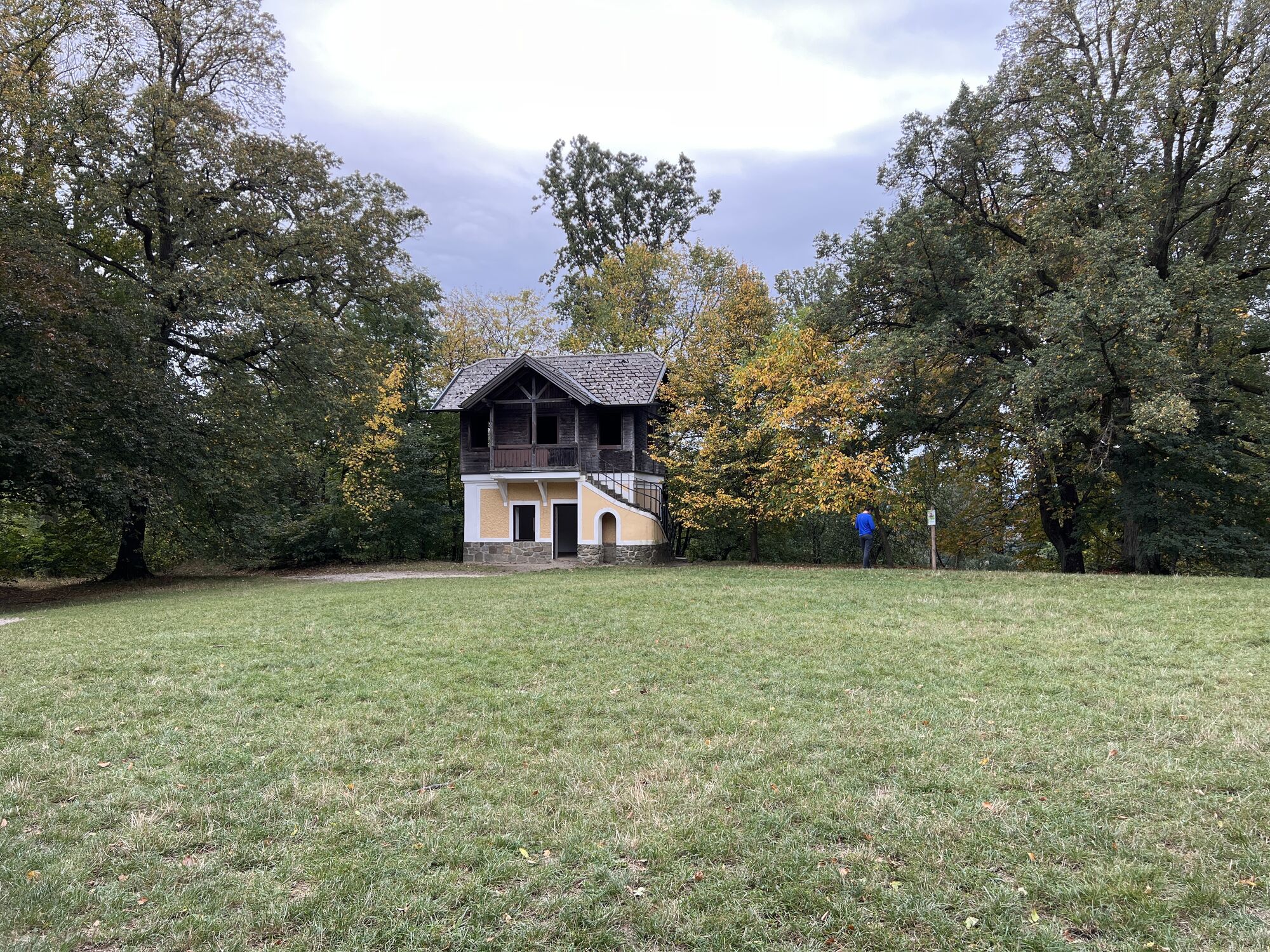
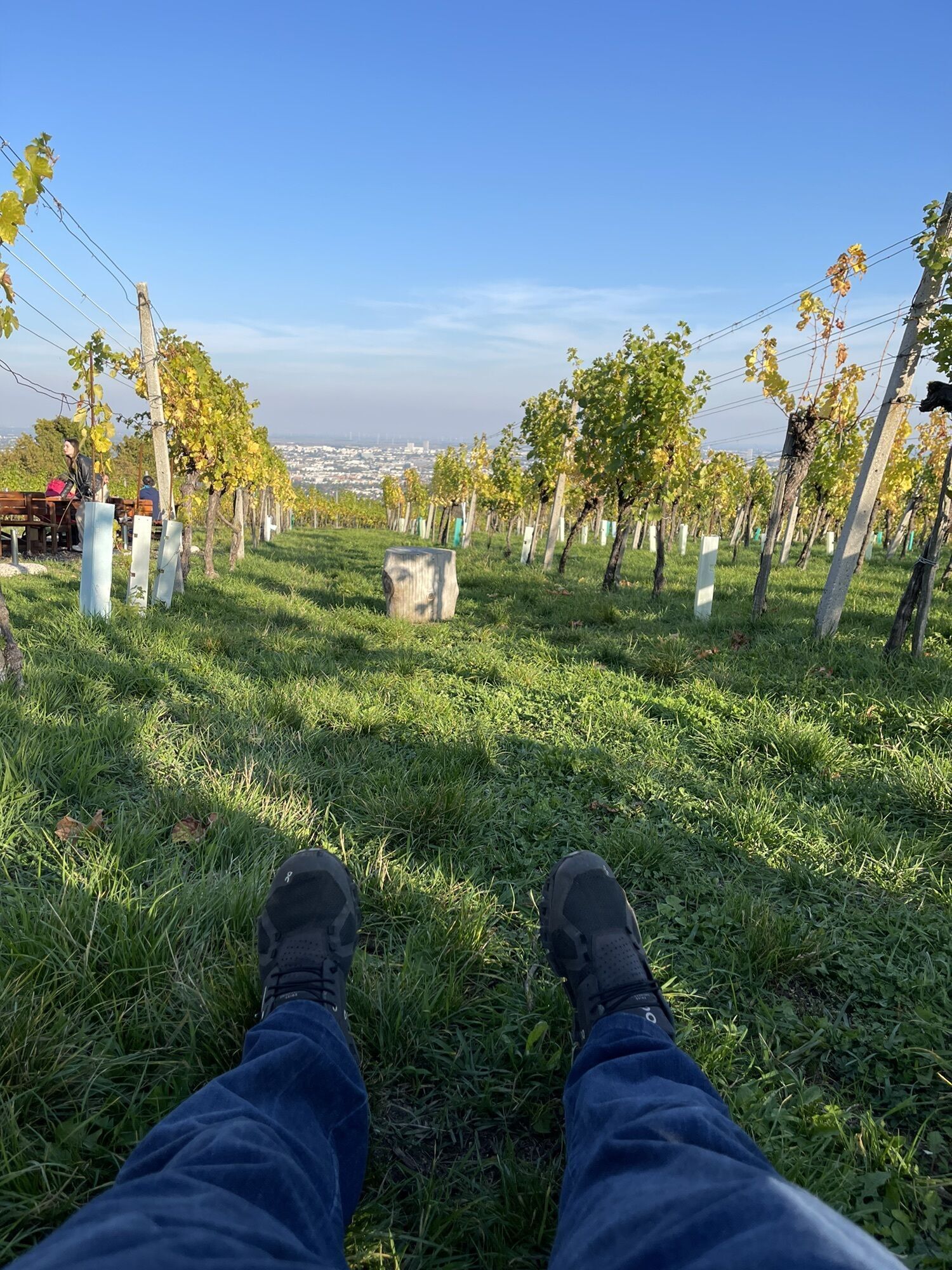
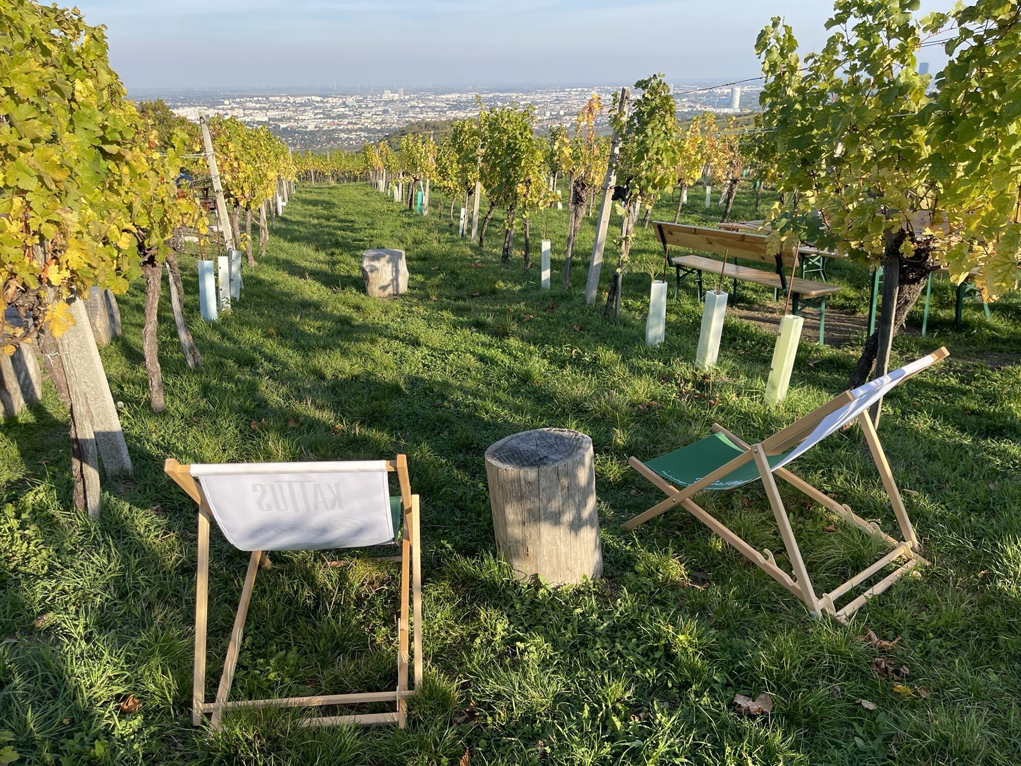
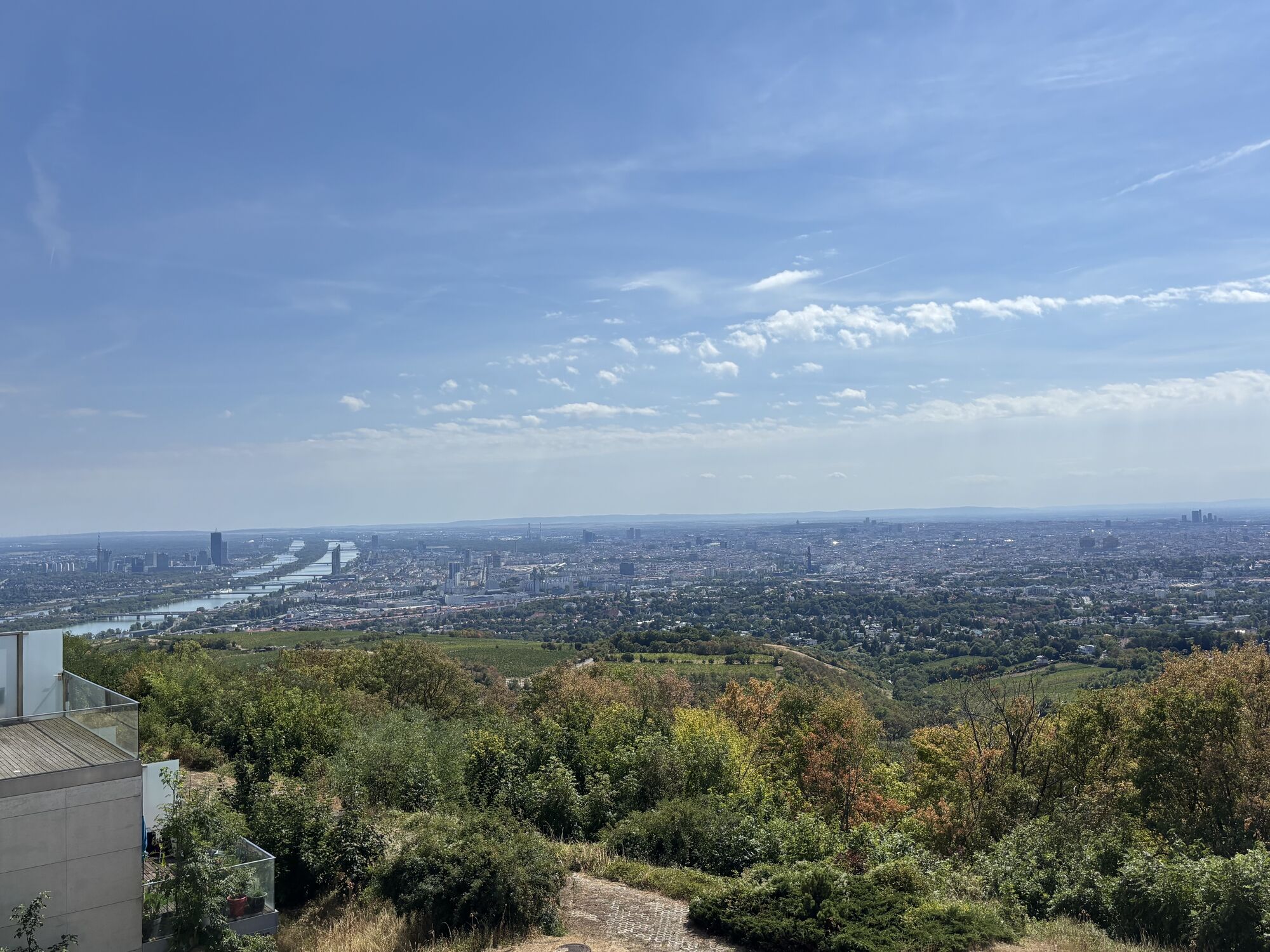
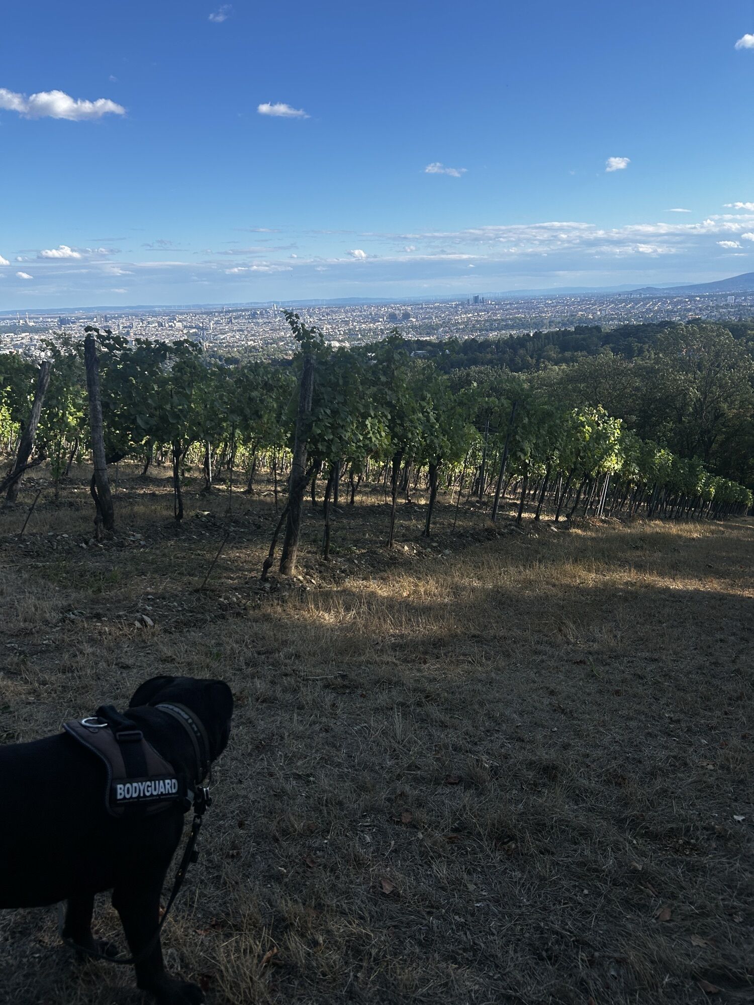
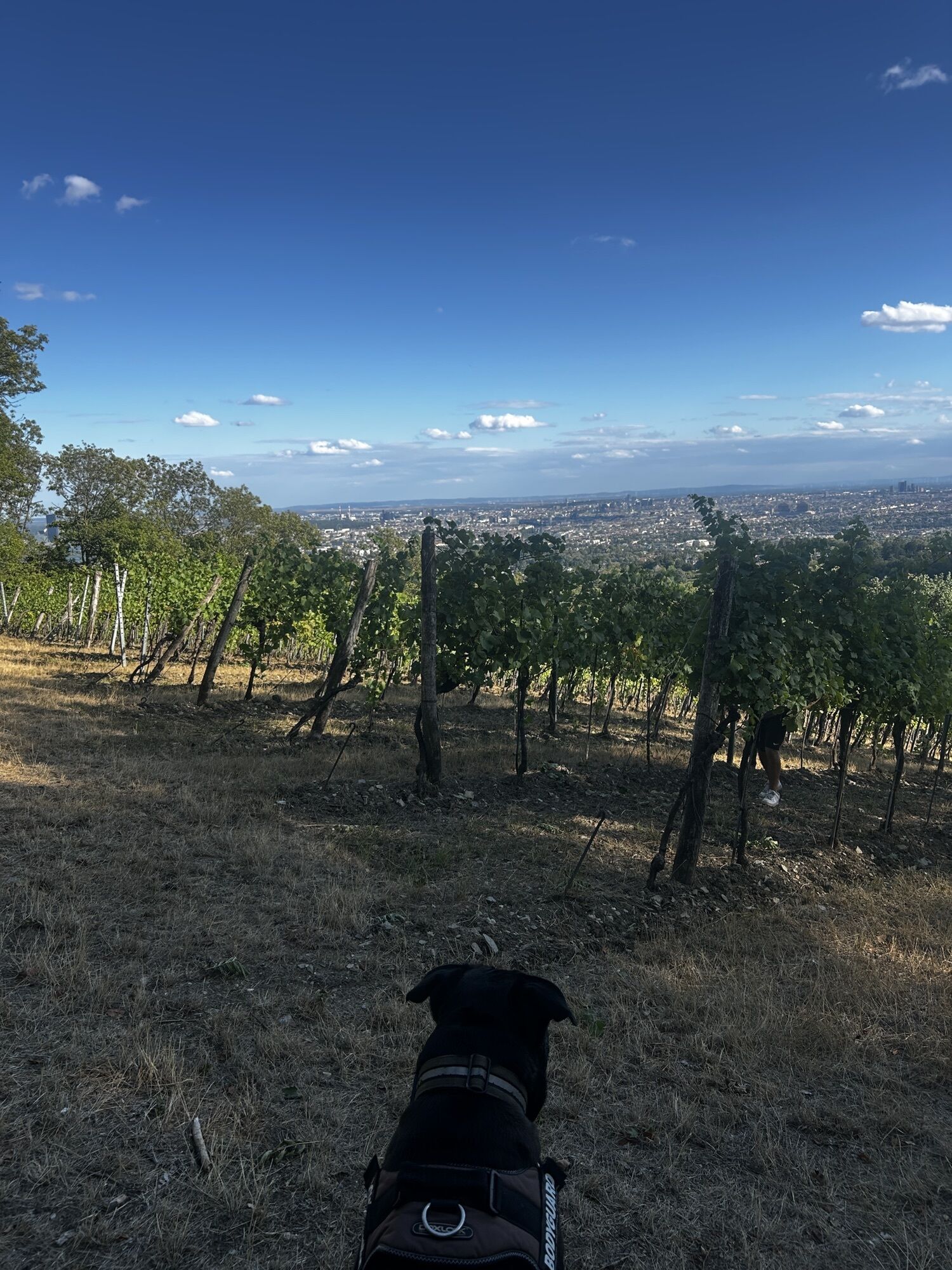
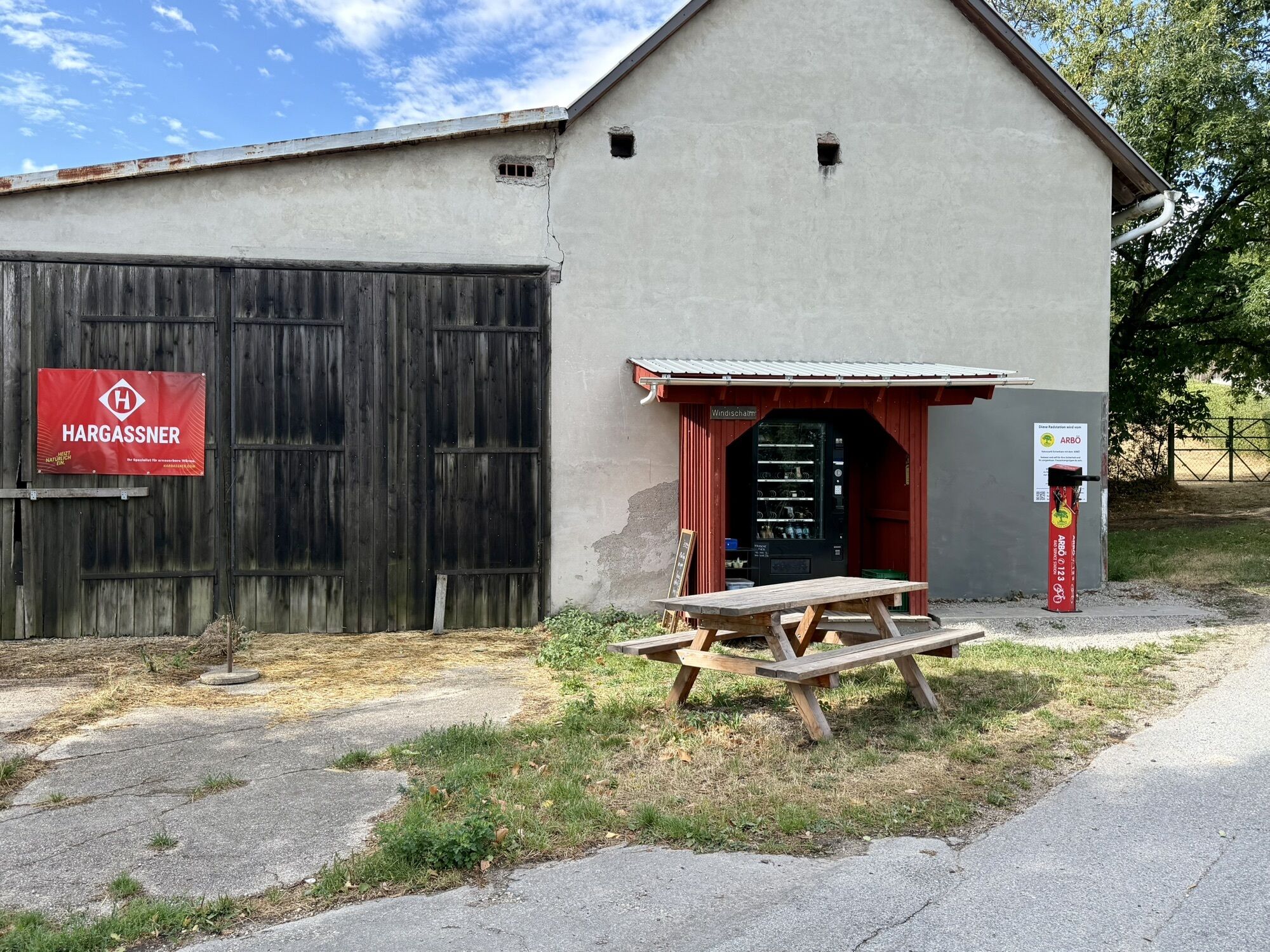
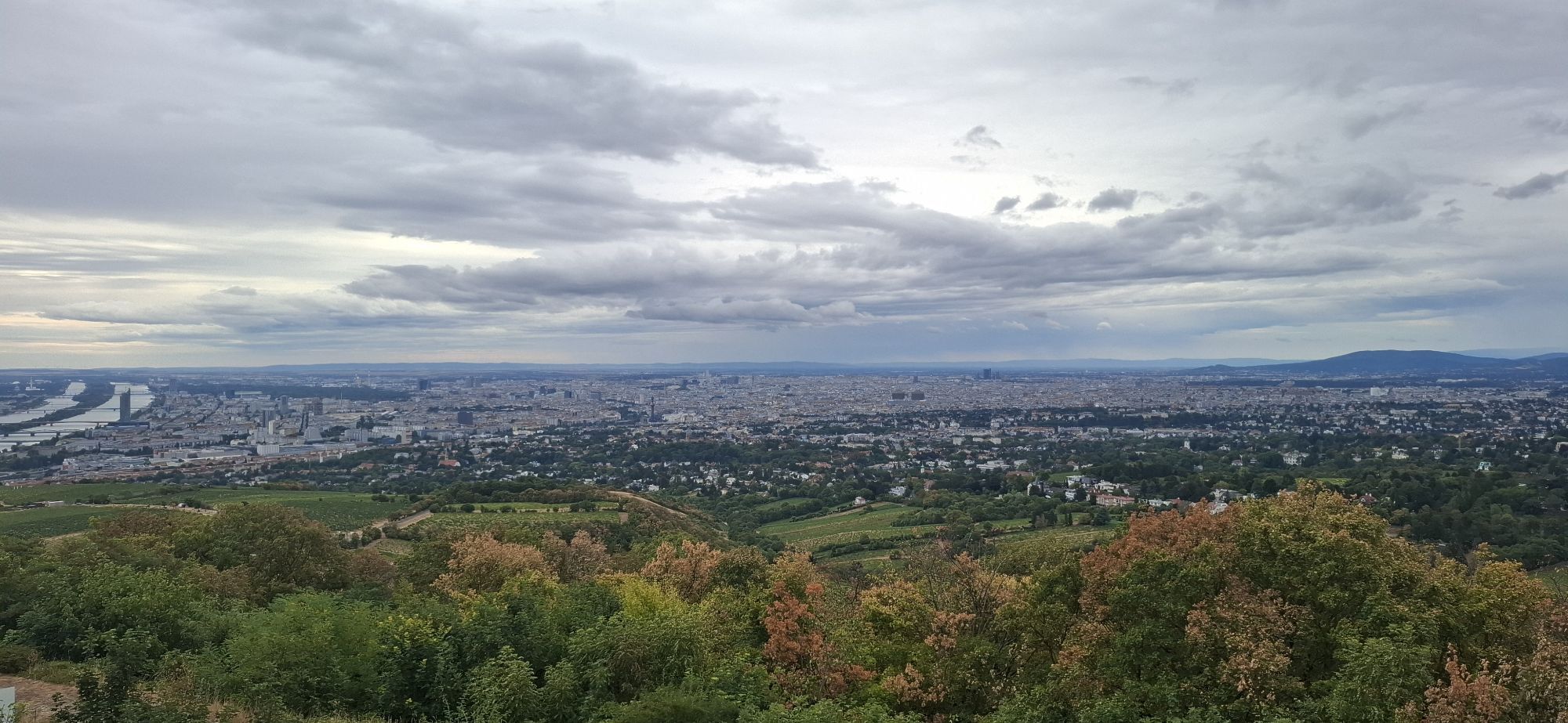
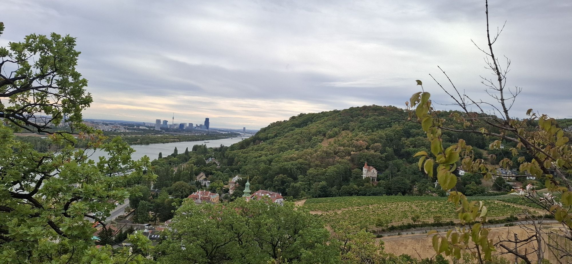
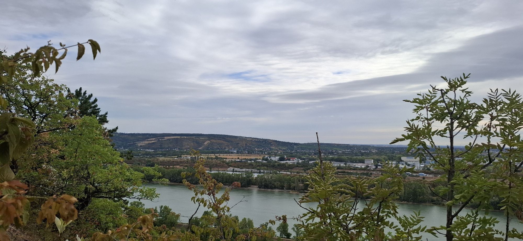
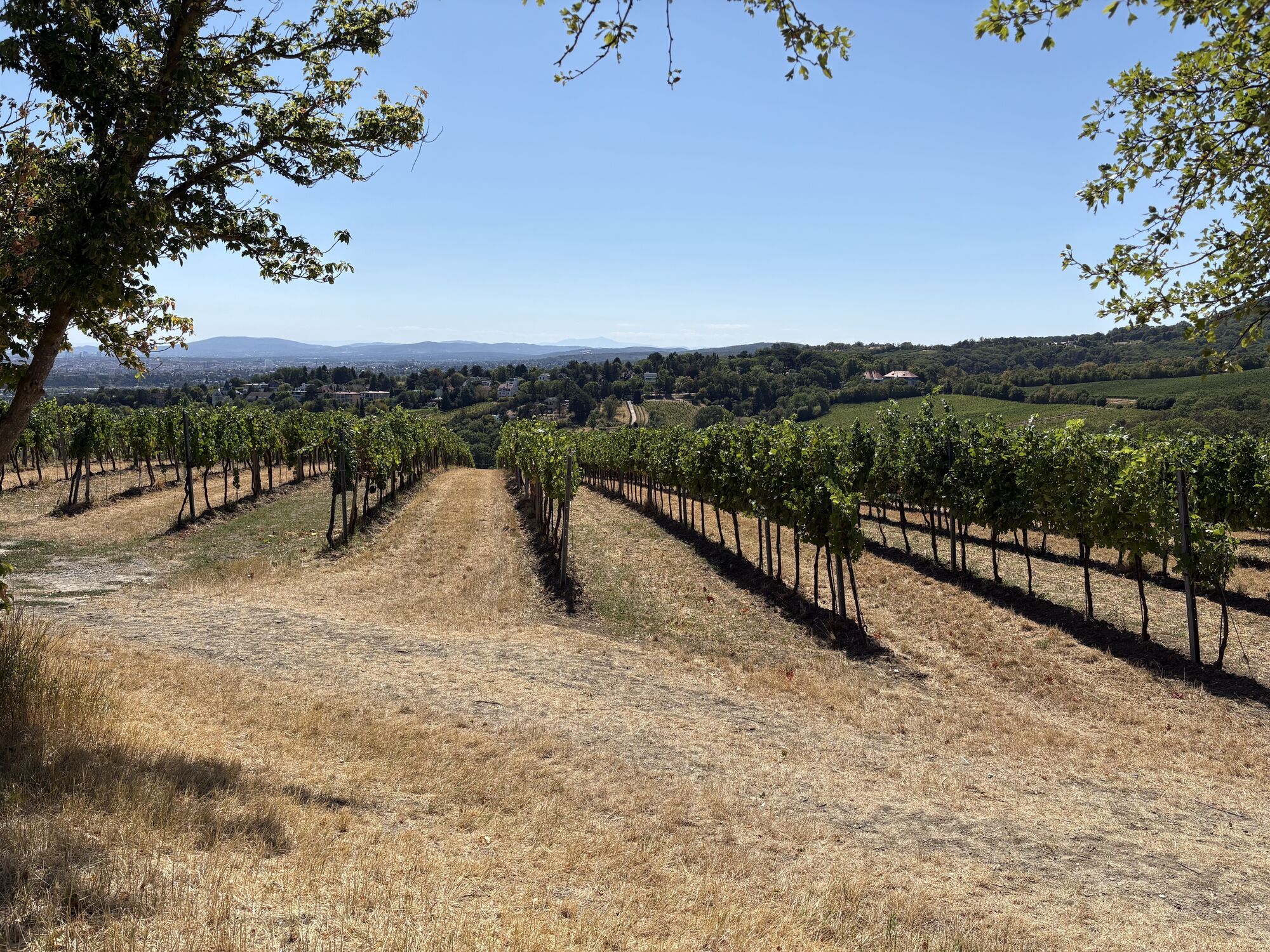
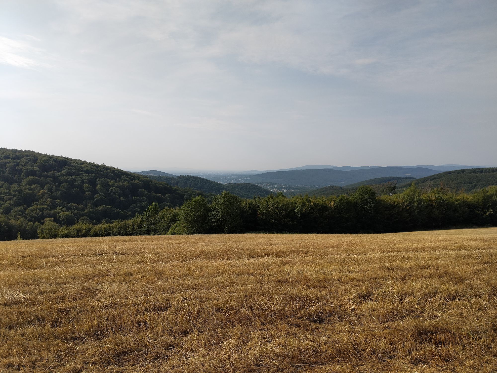
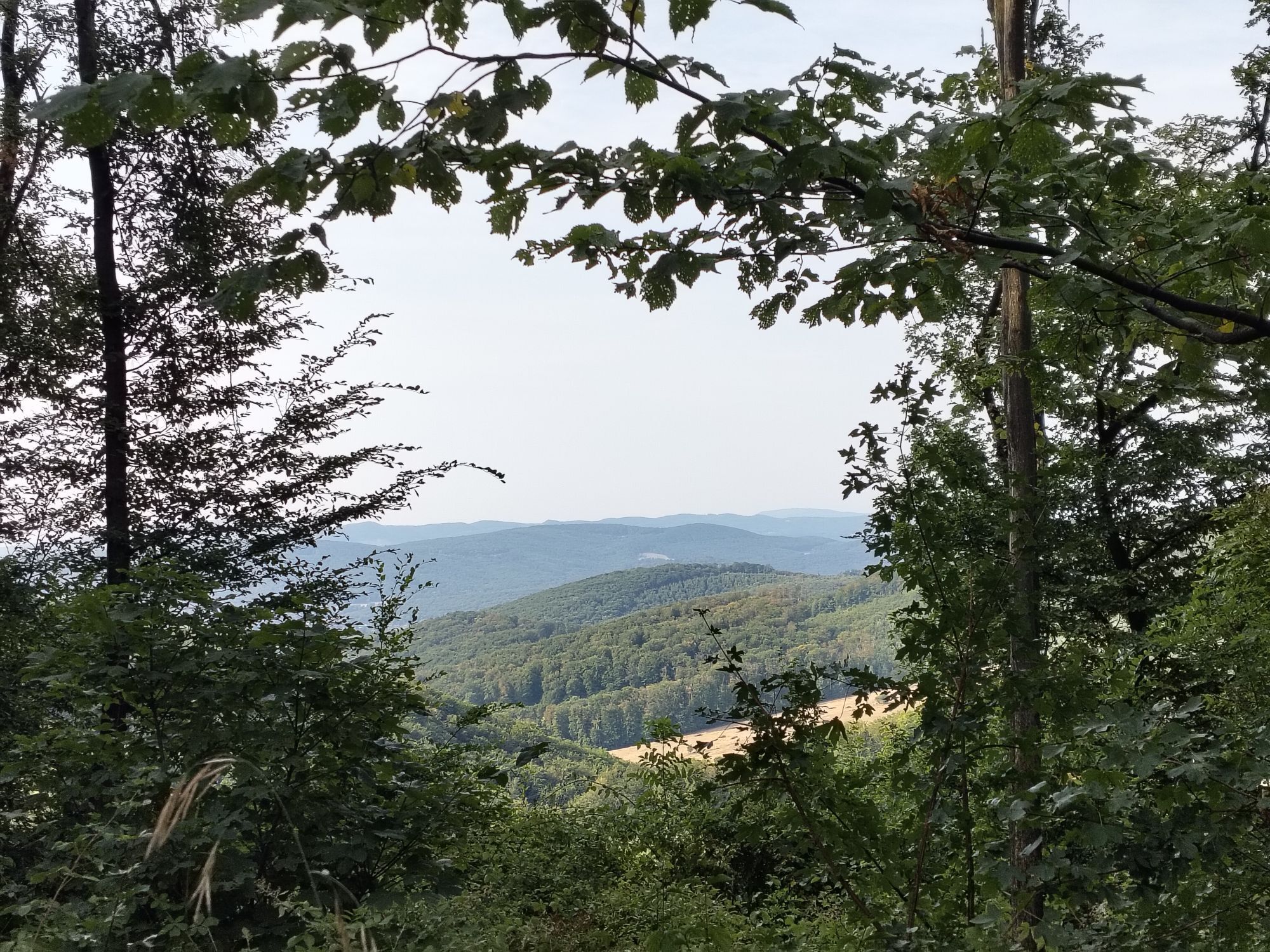
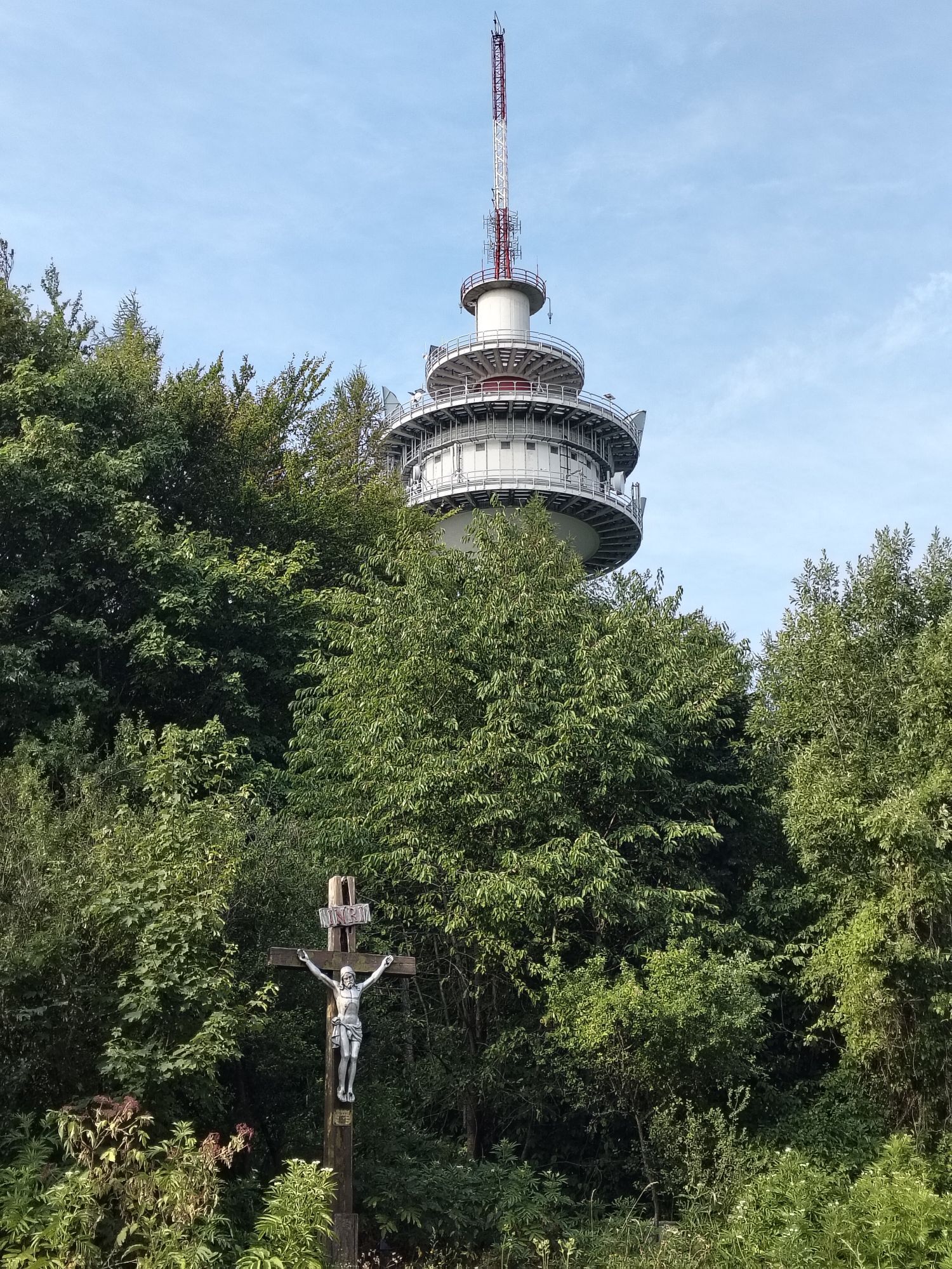
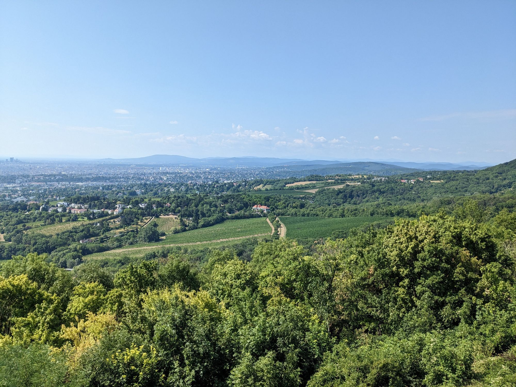
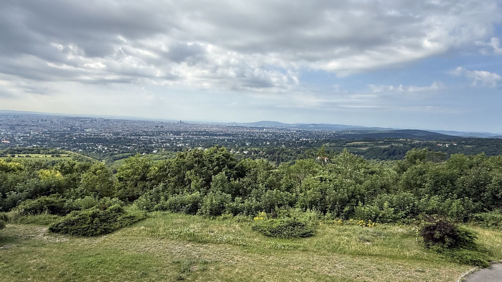
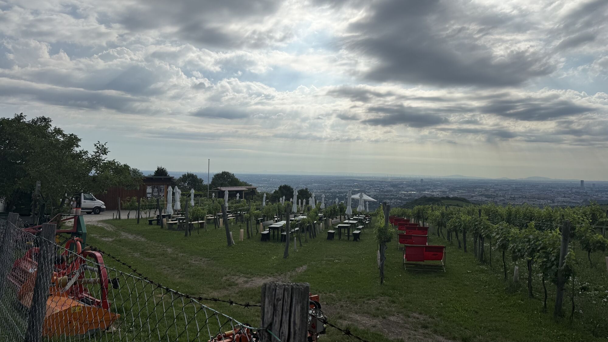
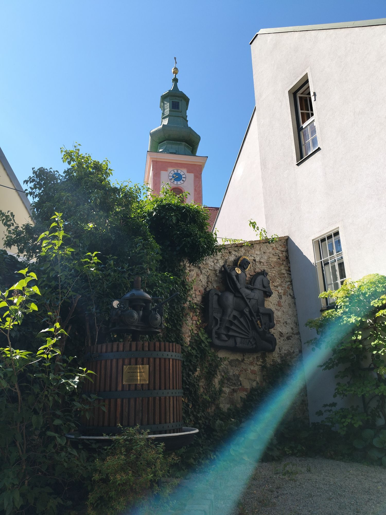
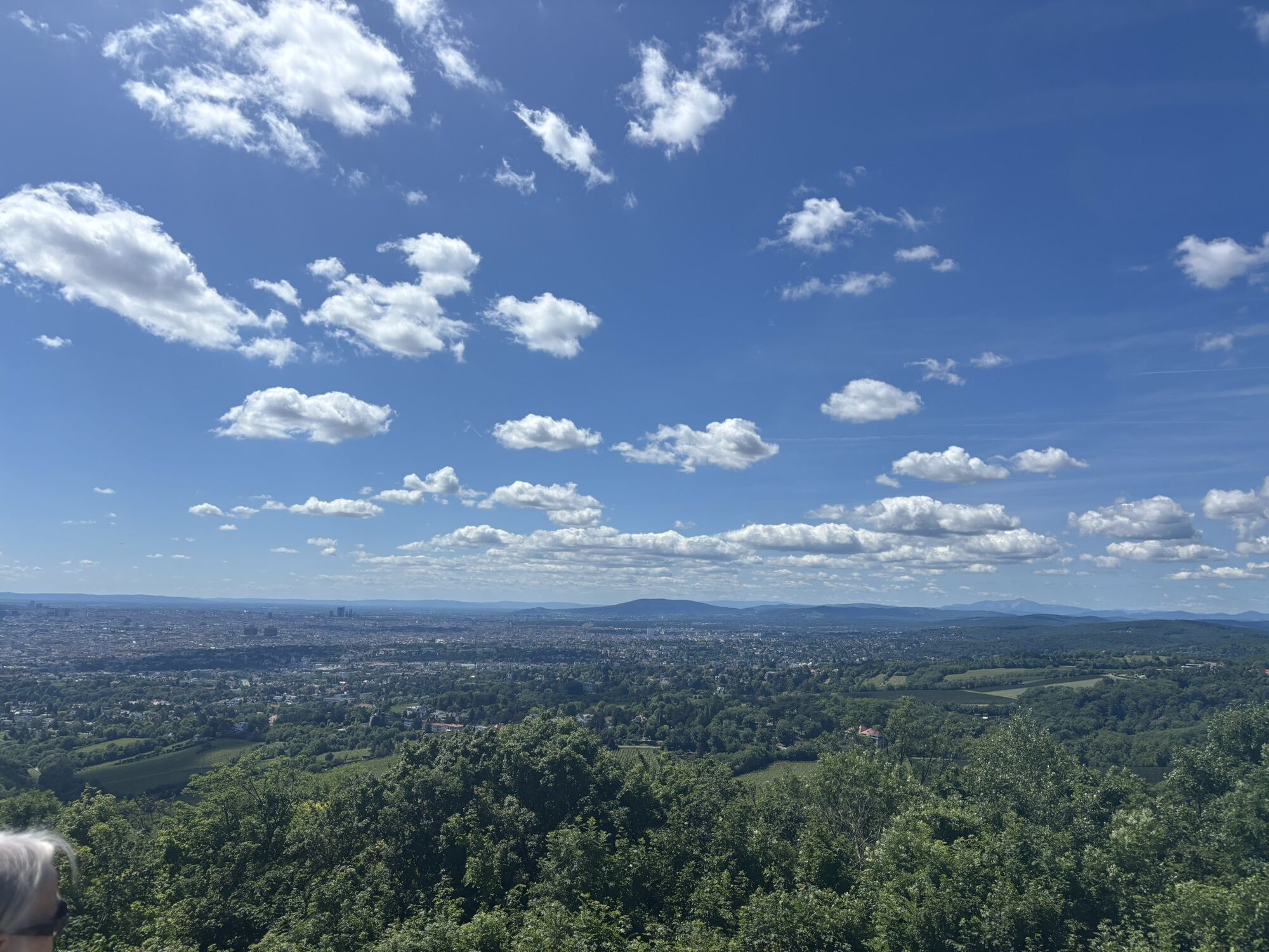
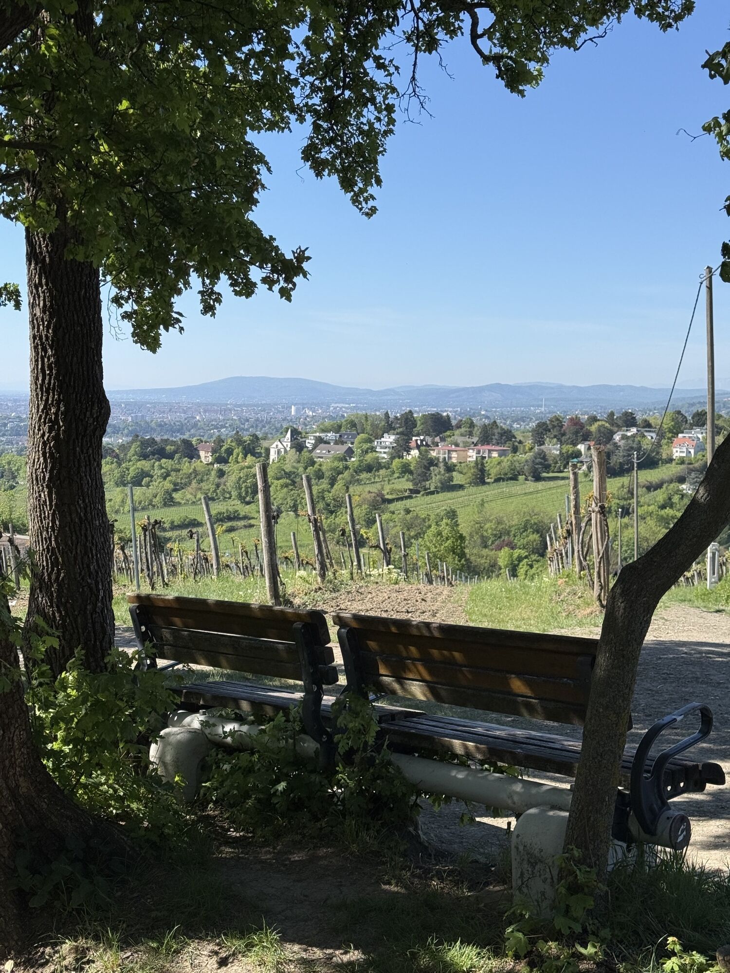
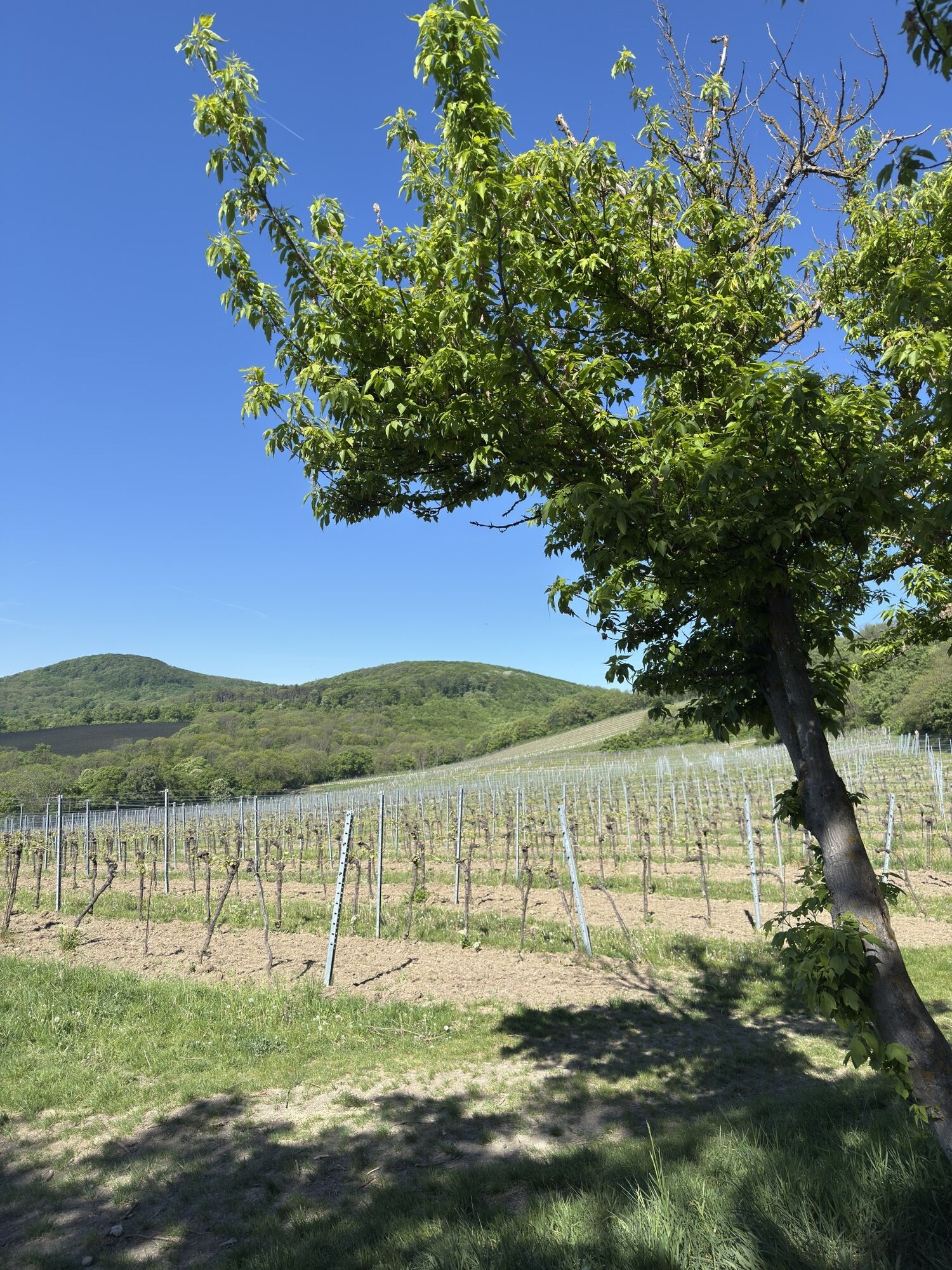
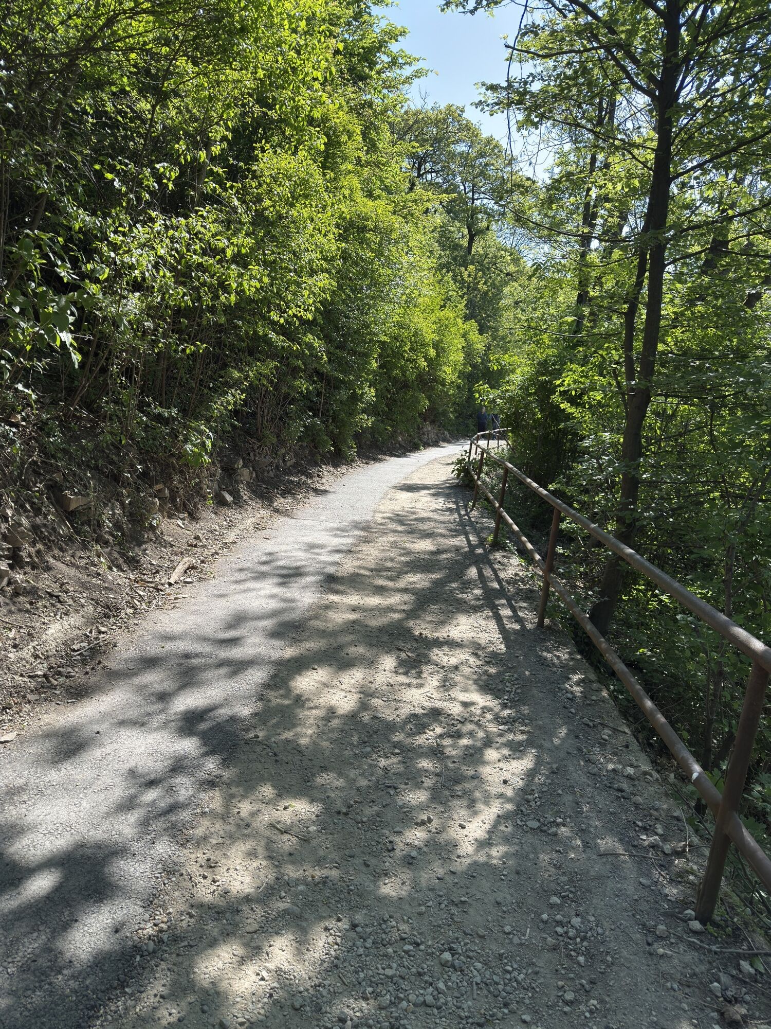
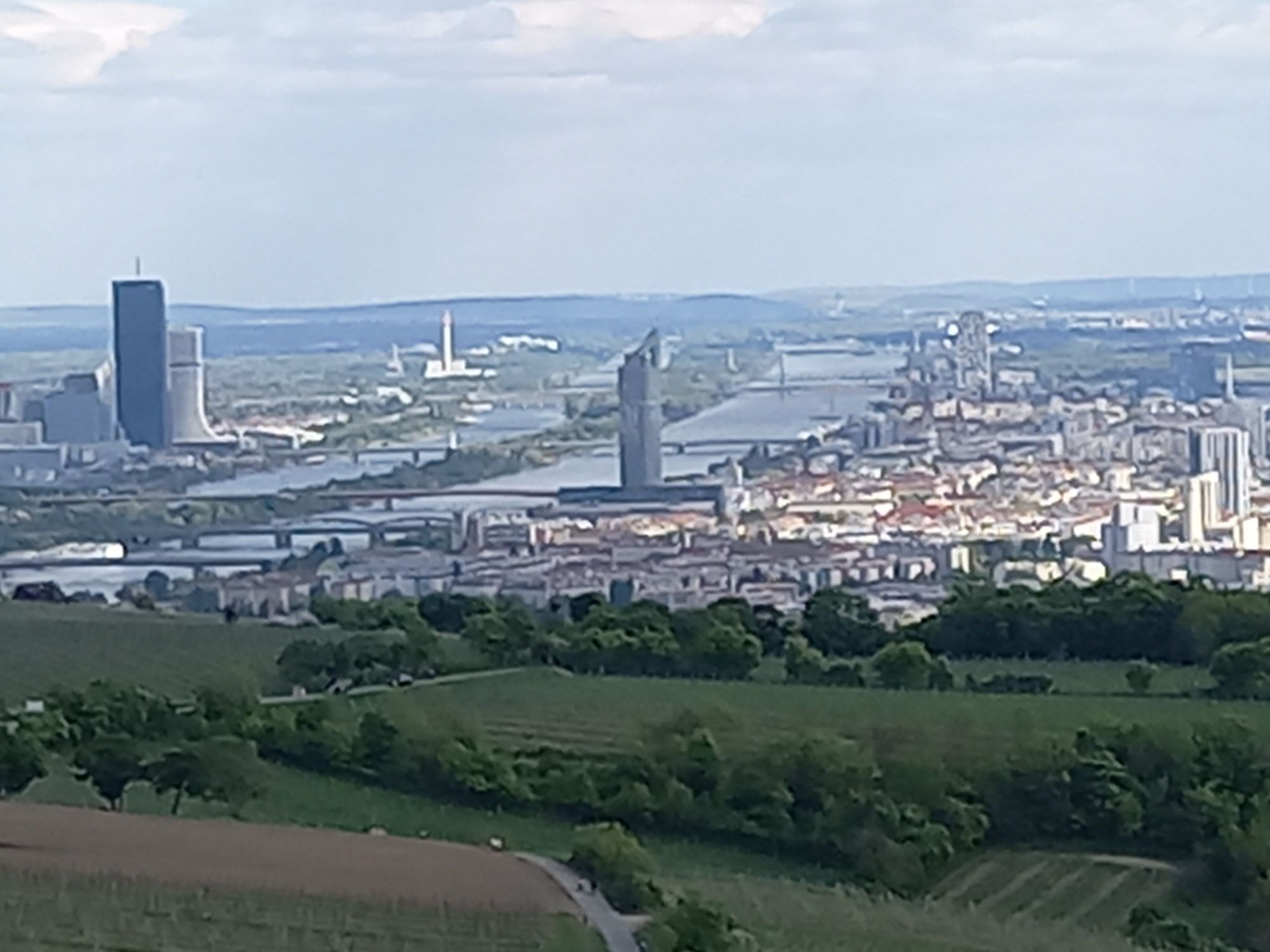
The Kahlenbergerdorf route is a challenging mountain bike tour with a length of 38.81 kilometers and an elevation gain of 994 meters, offering numerous scenic and technical highlights. A sweat-inducing climb leads to the Kahlenberg, from where impressive views of Vienna and the surrounding countryside open up. The route also includes the Upper and Lower Roan Trail and the Scheiblingstein Trail, which provide varied and challenging singletrail passages. There are numerous refreshment stops along the route, for example at the Windischhütte, where you can take a break. The final section leads leisurely along the Danube back to the starting point in Kahlenbergerdorf, with the mixture of asphalt (38%), gravel (42%) and forest and meadow paths (20%) ensuring a varied riding experience.

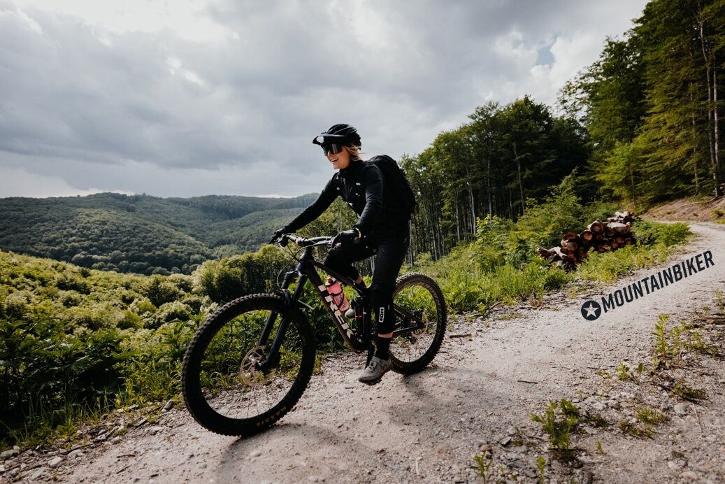

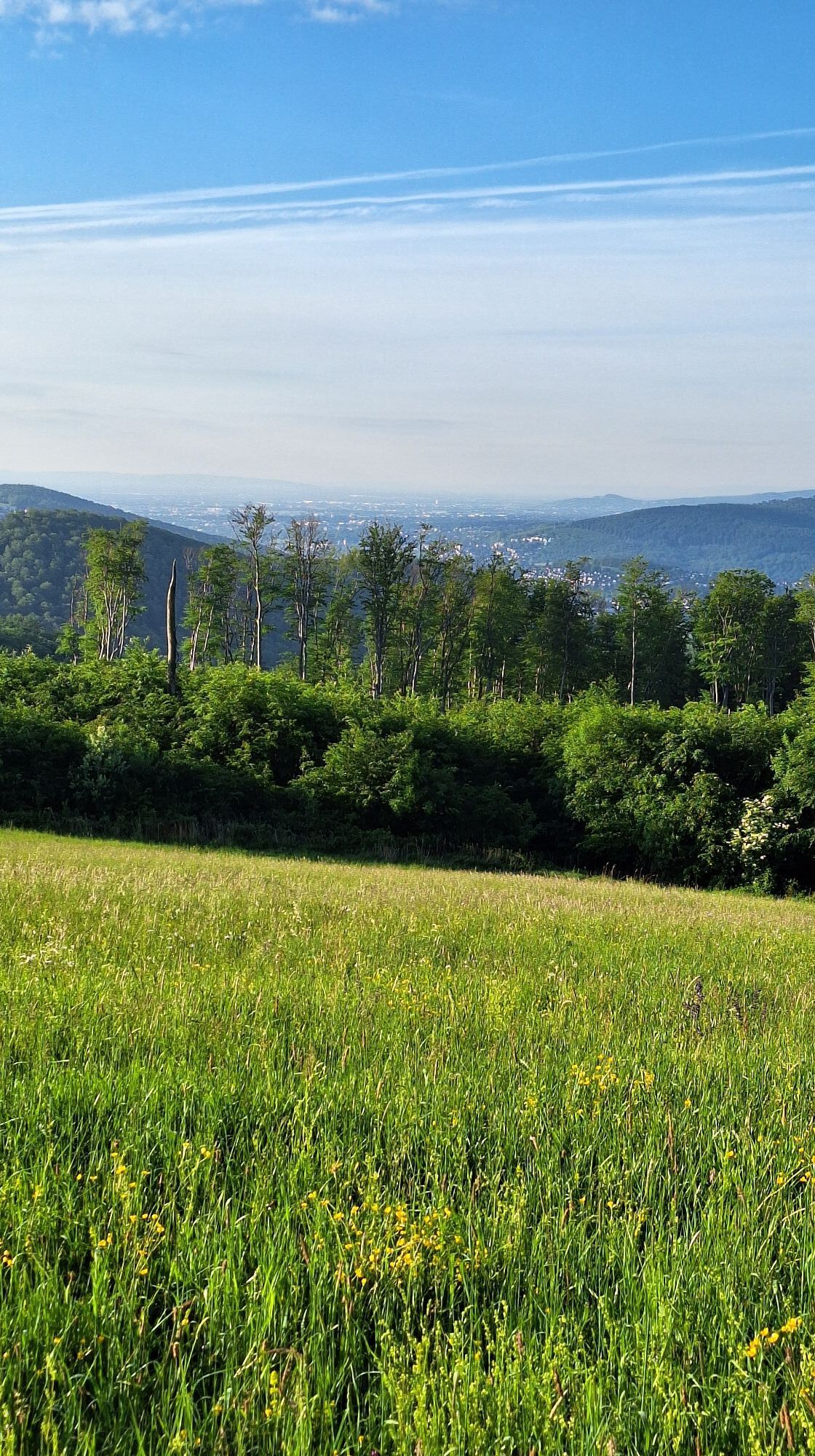
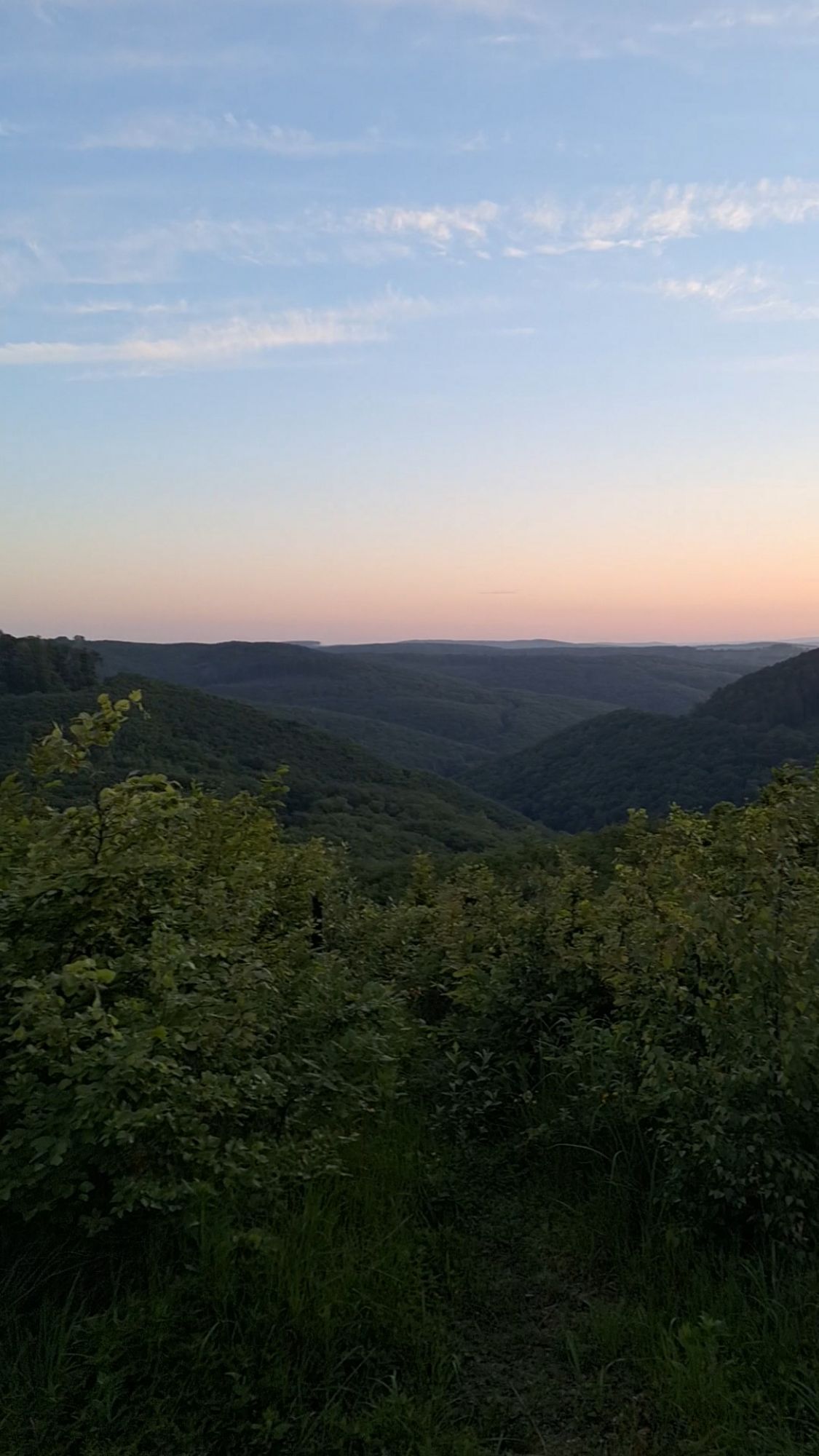
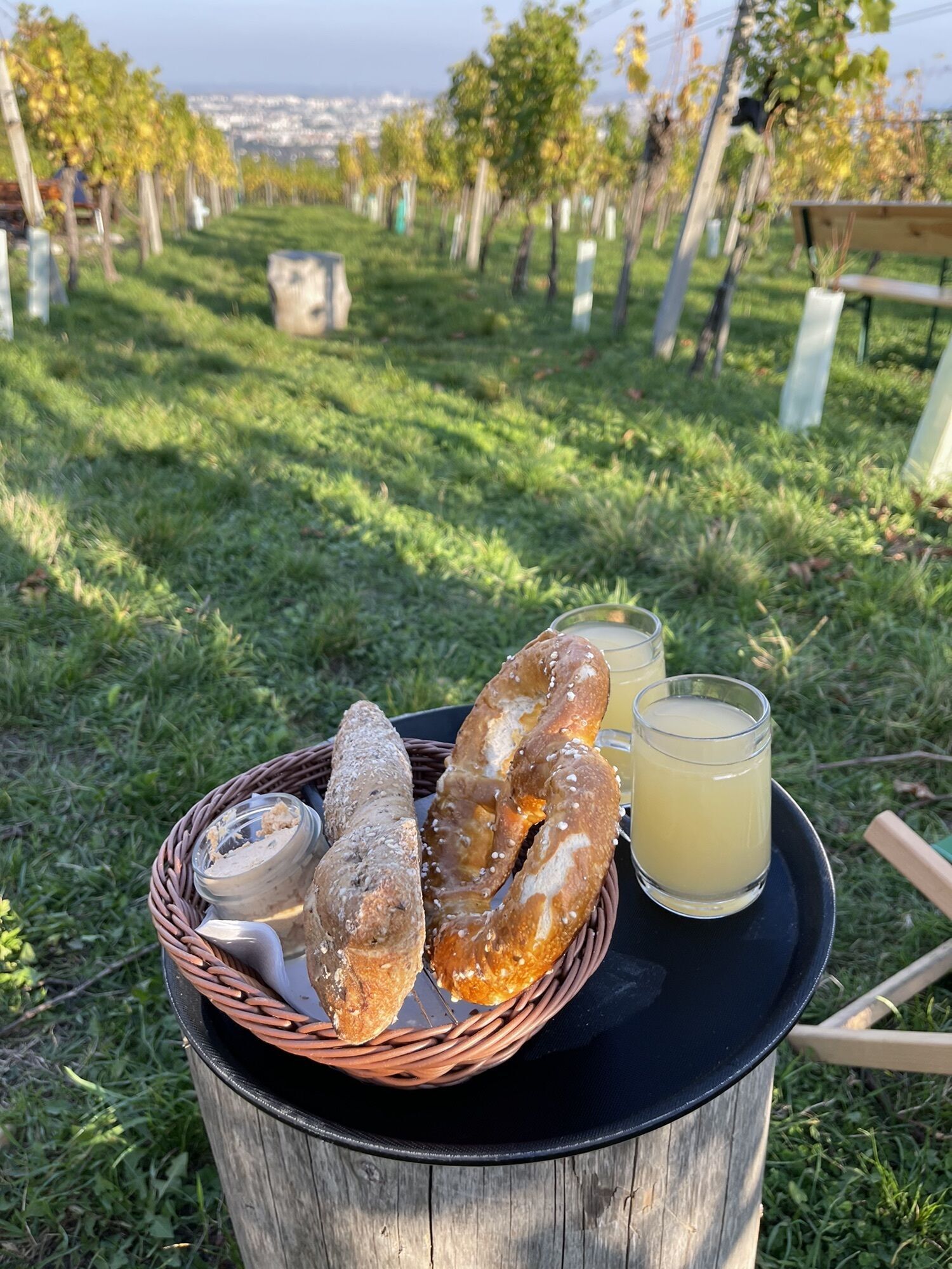
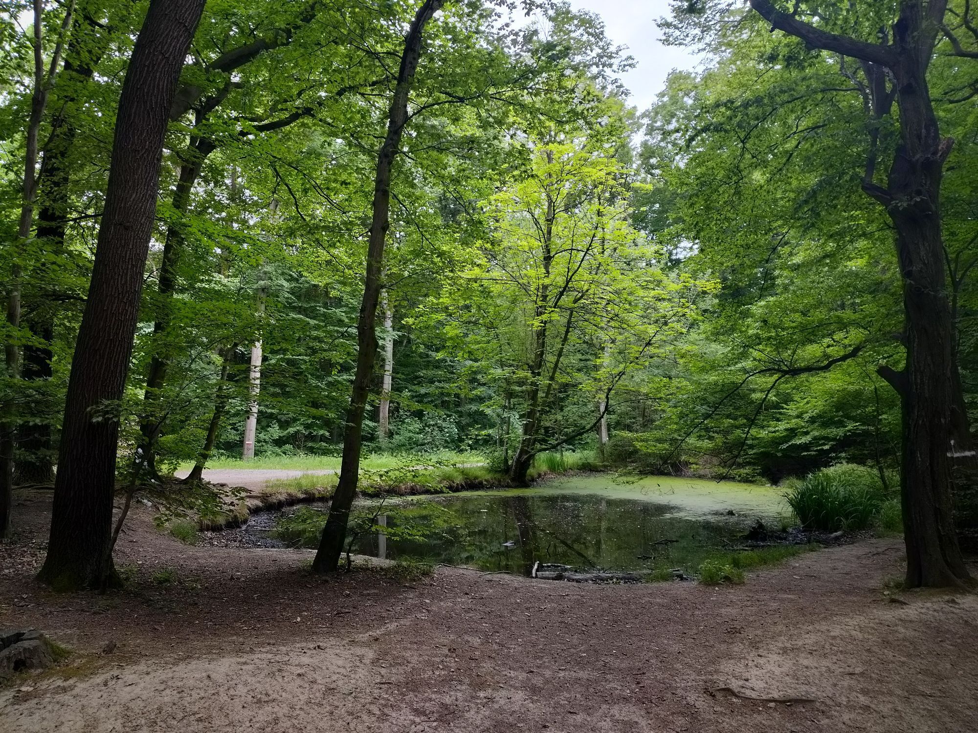
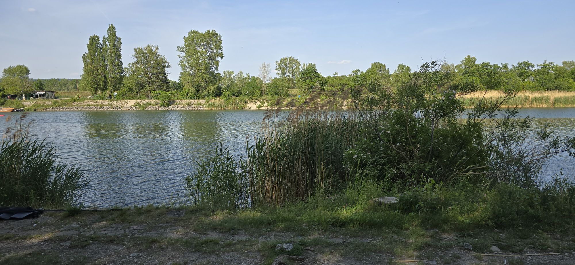
The challenging Kahlenbergerdorf route offers great sections, inspiring views, numerous opportunities to stop for refreshments, and serves as a feeder and connector for some single and shared trails. After the sweat-inducing ascent to Kahlenberg, the trail leads off into terrain and quiet forest roads. We also use the two Roan trails and the Scheiblingstein trail for a varied ride to Windischhütte. The return to the eponymous Kahlenbergerdorf is then relaxed, also along the Danube.
Surface: Asphalt 38%, Gravel 42%, Forest/Meadow 20%
A safe and functional mountain bike is a prerequisite for all routes. Helmet and gloves protect in case of falls and can be supplemented with knee and elbow protectors on single/shared trails. A modern mountain bike with disc brakes and sufficient tire tread is recommended. For single and shared trails from the red difficulty level, a full suspension bike with modern geometry is recommended. Tools, tire levers, a pump, and a spare tube help in case of a breakdown. Sufficient food and drink as well as a mobile phone and wind/rain jacket should also be carried.
Before every ride, check the functionality of brakes, tires, and suspension fork/shock absorber. Always ride with hazard awareness and controlled speed, and adapt the route choice to the riding skills of the group and the terrain. The Fair Play rules must be observed at all times. Single/shared trails as well as built trails in trail parks and trail centers often have stones, roots, steep sections, steps, and sharp curves that require a certain riding skill. When in doubt, simply dismount and push the bike.
Either coming from Klosterneuburg along the Danube to Kahlenbergerdorf, or, of course, coming from Heiligenstadt/Nußdorf along the Danube to Kahlenbergerdorf
Travel Advice: Please check the route to the meeting point in advance and allow plenty of time. Be aware of possible traffic delays, road construction, or public transportation disruptions.
Due to a lack of parking, it's best to take the S45 to Heiligenstadt or the S40 to Nussdorf and then bike along the Danube to the starting point.
Parking Note: Please follow local parking regulations and check for any parking fees or time restrictions. We recommend checking the parking situation in advance to ensure a stress-free trip.
The elevation data for this route were calculated based on the A-MAP. Slight variations are unavoidable due to different map data from routing/navigation apps and devices. More information can be found in the following blog post!
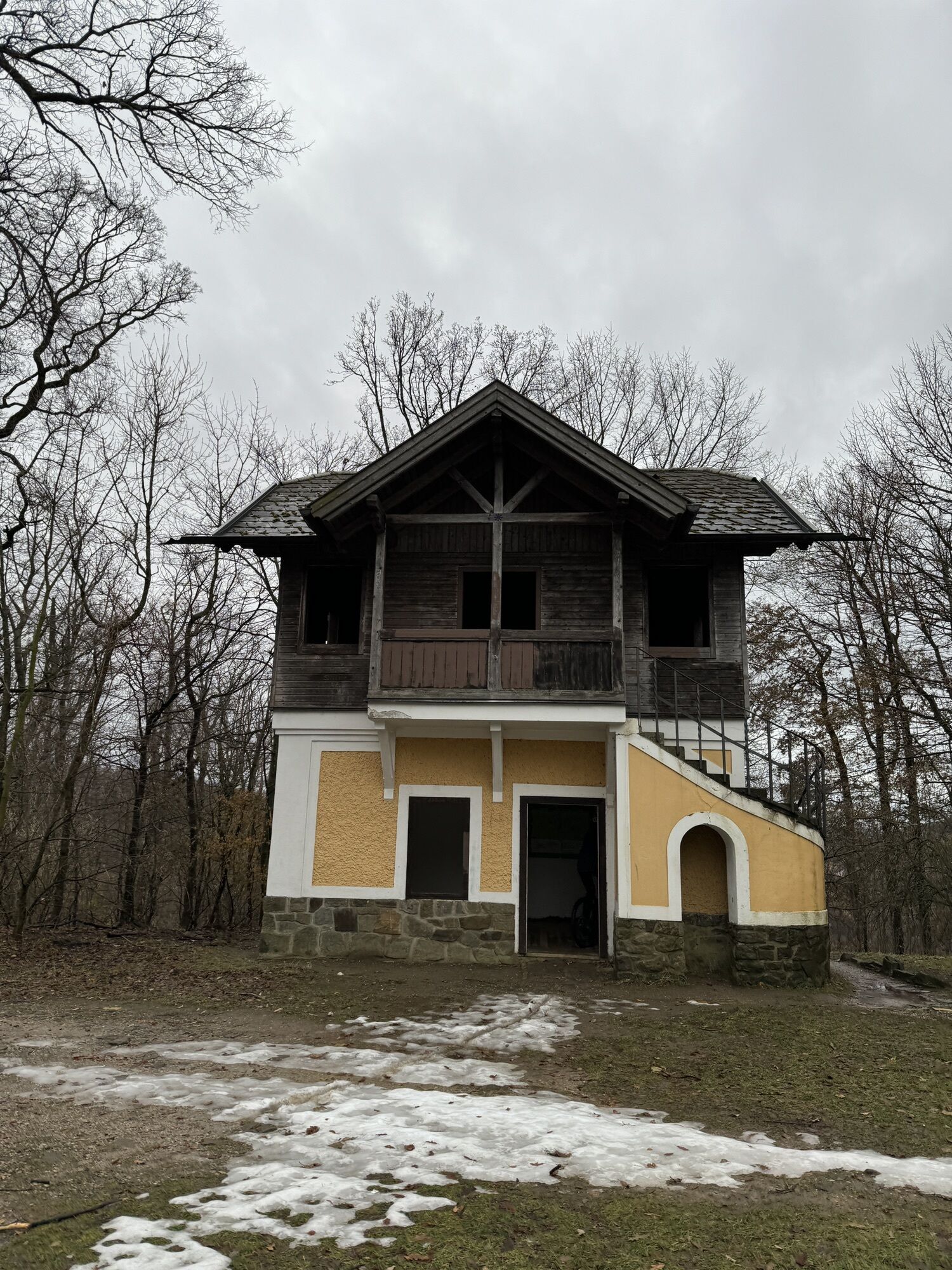
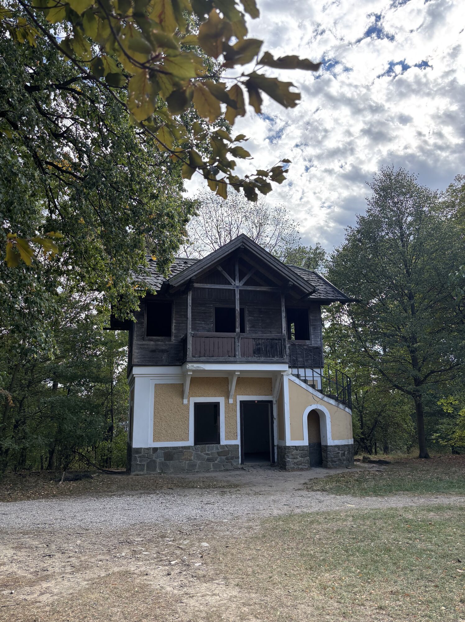
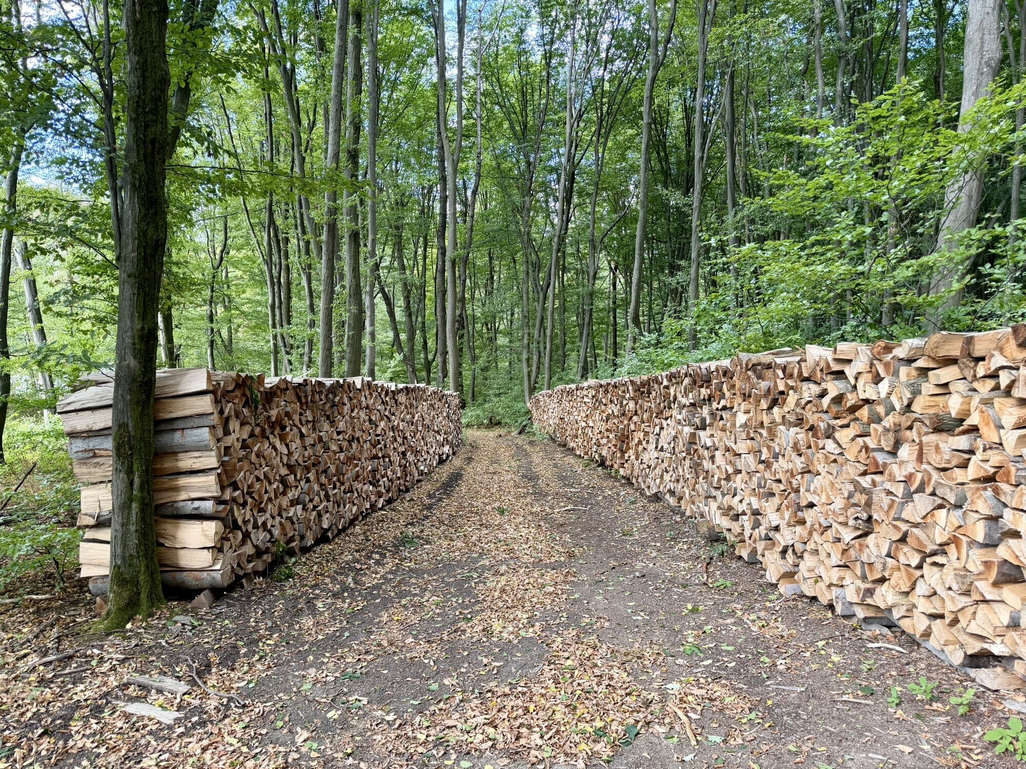
Note: New route for Schönstatt Trail due to urn forest (see photo)
The Schönstatt Trail has been relocated and riding on the previous paths is now prohibited. A forest cemetery has been established here as a final resting place and must be respected! Instead, the challenging Dornröschen Trail has been newly created and connects below the Kahlenbergerdorf route to the Schönstatt Trail. Alternatively, these can also be reached north (right) of the Schönstatt Trail by a short push section.
Wienerwald Tourismus GmbH
Hauptpl. 11, 3002 Purkersdorf
Tel. +43/2231/621 76
Email: office@wienerwald.info
Website: www.wienerwald.info
Information on potential excursion destinations:
KlosterneuburgPlaces to stop for refreshments:
Trat Wiesner Wine TavernWindischhütte Country InnMeißner Family Wine TavernNorbert ZeinerMarkgraf TavernScheiblingstein Country InnTrat InnHäuserl am RoanGriass di a Gott InnJosefine HutSophienalpe ViennaFlamingo InnSpletne kamere s turneje
Pridobite vpogled
Vedno v živo na mestu z več kot 9.500 spletnimi kamerami. bergfex Kot uporabnik Pro si lahko zdaj ogledate ustrezne spletne kamere za številne izlete v aplikaciji izleti iz. Tako si lahko neposredno ogledate trenutne razmere.
Priljubljeni izleti v okolici
-
4.8
Stadtwanderweg 1
svetlobaPohodništvo 11.1 km -
4.8
Stadtwanderweg #2, Hermannskogel, Top of Vienna 😆
svetlobaPohodništvo 11.1 km -
4.8
Stadtwanderweg 1a - Leopoldsberg / lt. Beschilderung
srednjaPohodništvo 10.2 km -
4.7
Königstetten-Figlwarte-Hainbuch-Königstetten
srednjaPohodništvo 9.30 km -
4.6
Nasenweg Leopoldsberg Rundweg
srednjaPohodništvo 4.08 km -
4.6
Stadtwanderweg 6 / Zugberg - Maurer Wald (lt. Beschilderung)
svetlobaPohodništvo 13.3 km -
4.6
Stadtwanderweg 4
svetlobaPohodništvo 8.48 km -
4.6
Rundwanderung Gablitz Gemeindeamt - Troppberg - Rabenstein - Gablitz Gemeindeamt
svetlobaPohodništvo 12 km -
4.5
Stadtwanderweg 3, Hameau (lt. Beschilderung)
svetlobaPohodništvo 9.78 km -
4.5
Stadtwanderweg 5 Bisamberg (lt. Beschilderung)
svetlobaPohodništvo 10.5 km
Pohodništvo in sledenje


Ne zamudite ponudb in navdiha za naslednje počitnice
Vaš e-poštni naslov je bil dodan na poštni seznam.





