


Sentier Panorama 4000
The name of the hike says it all: panoramic view of the Rhone Valley and the sparkling four-thousanders on the other side. Hikers enjoy an unobstructed view of the opposite Val d’Anniviers, majestically...
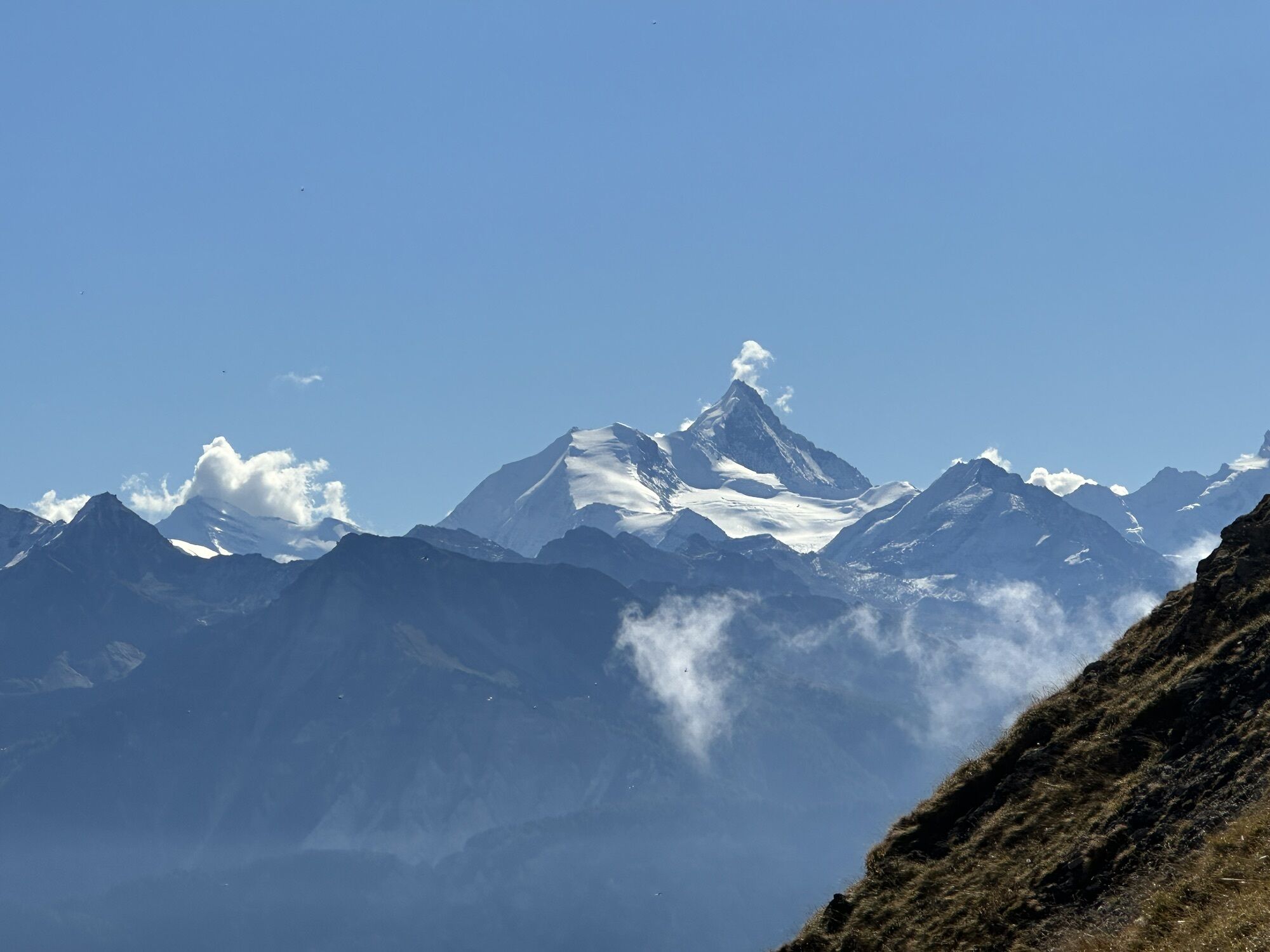
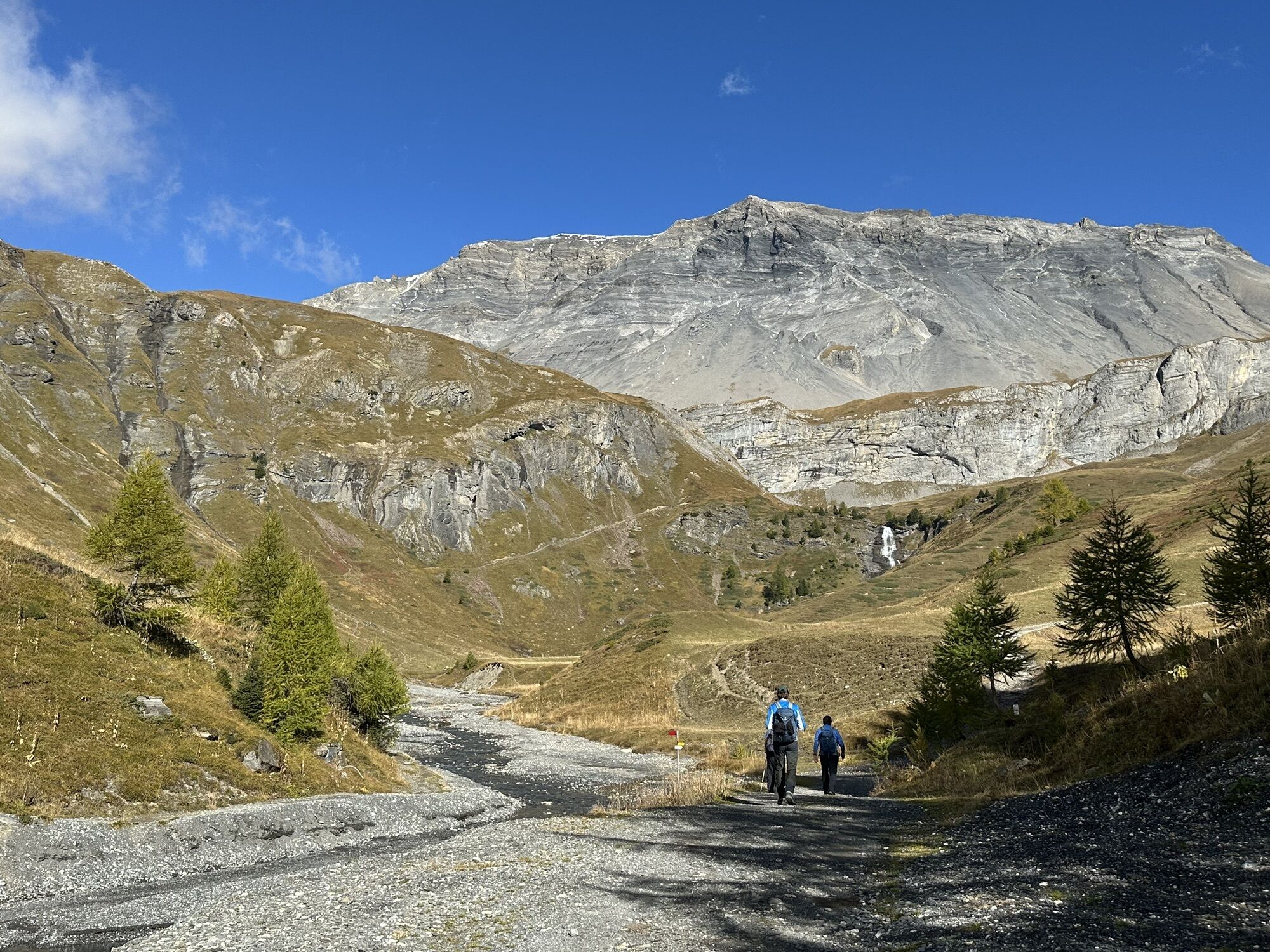
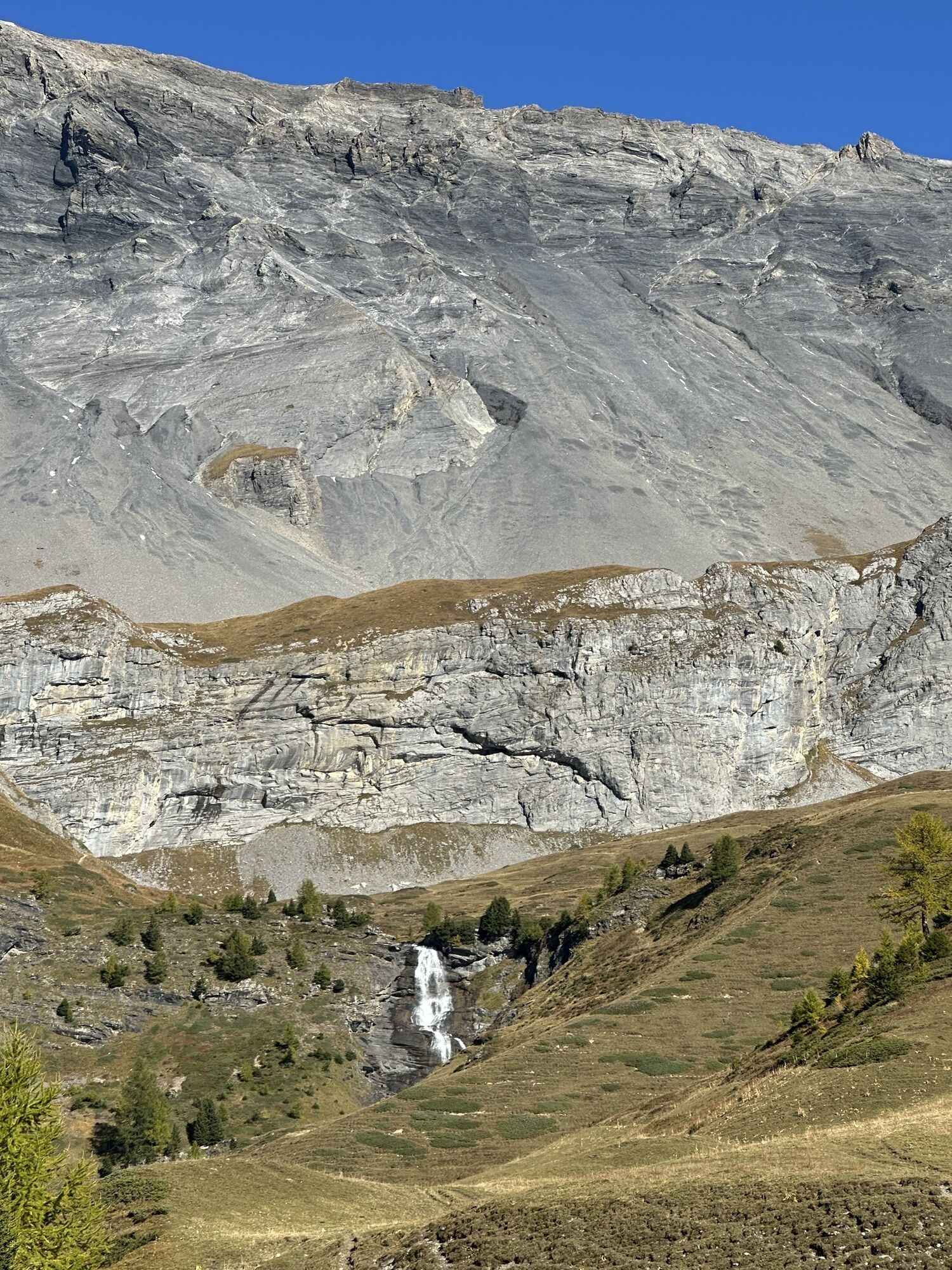
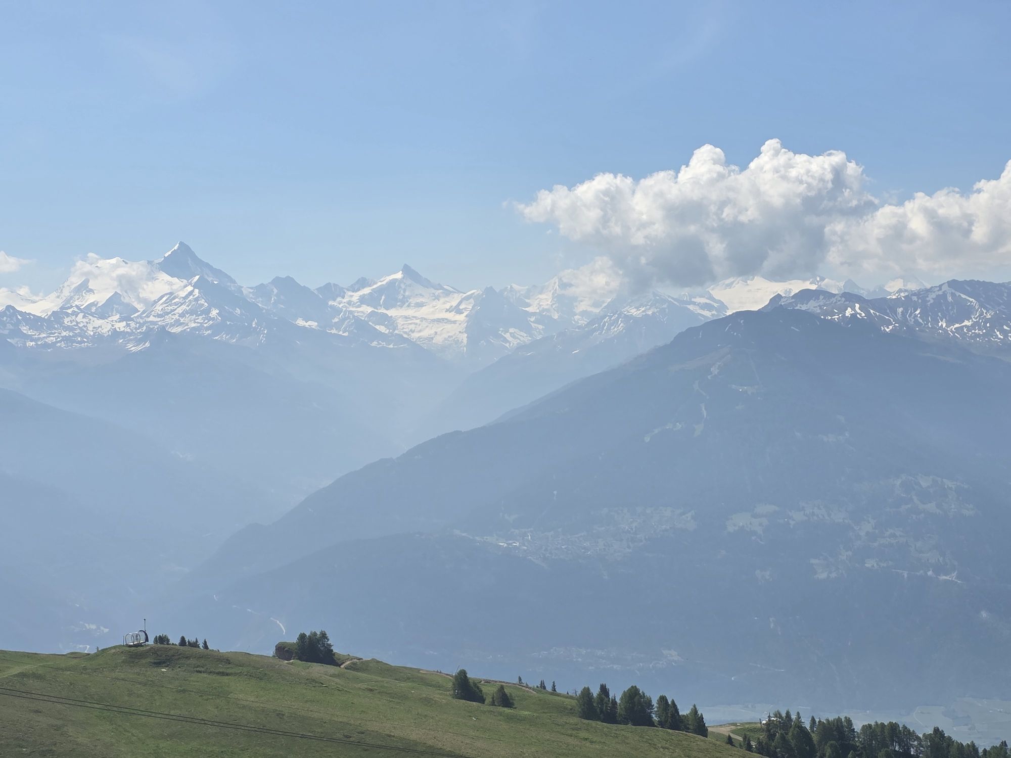
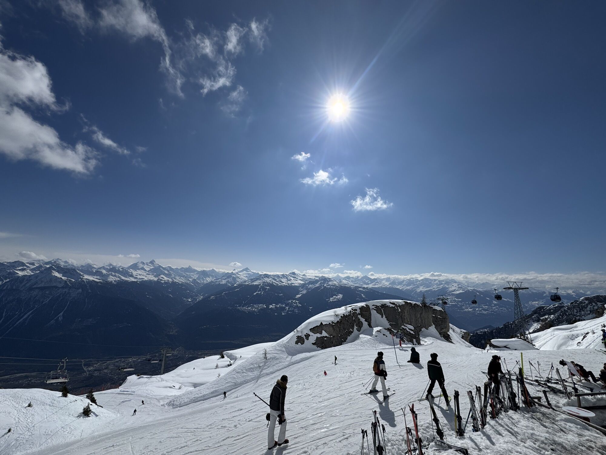
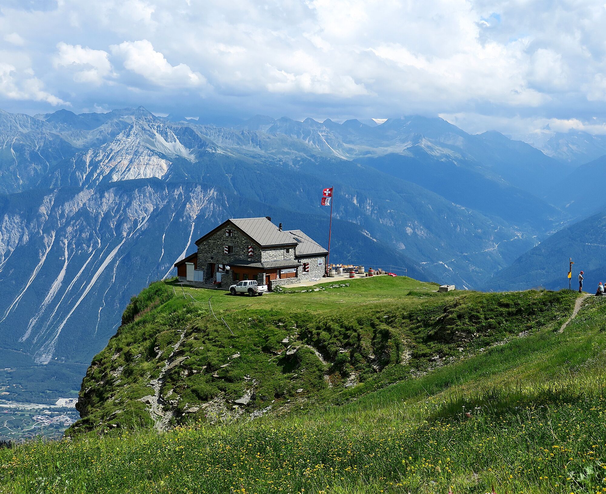
The name of the hike says it all: panoramic view of the Rhone Valley and the sparkling four-thousanders on the other side. Hikers enjoy an unobstructed view of the opposite Val d’Anniviers, majestically framed by five four-thousand-meter peaks, with the Matterhorn as the highlight in the background. The starting point is the mountain station of the Cry d’Er gondola with its popular restaurant and sun terrace offering fantastic views. The first section leads to the Cabane des Violettes (2208m), manned by a mountain guide. The traditional seasonal cuisine is simple but excellent: the Michelin-starred chef also runs one of the best gourmet restaurants in Crans-Montana. From there, the hike continues to the slopes of Petit Mont Bonvin, where a descent down to Aminona begins and the hike ends. One of the most beautiful sections on this part leads along the Bisse du Tsittoret, a 15th-century irrigation canal. Its water springs from the Tièche in the east, which flows downstream into the Raspille, the linguistic border of Valais.
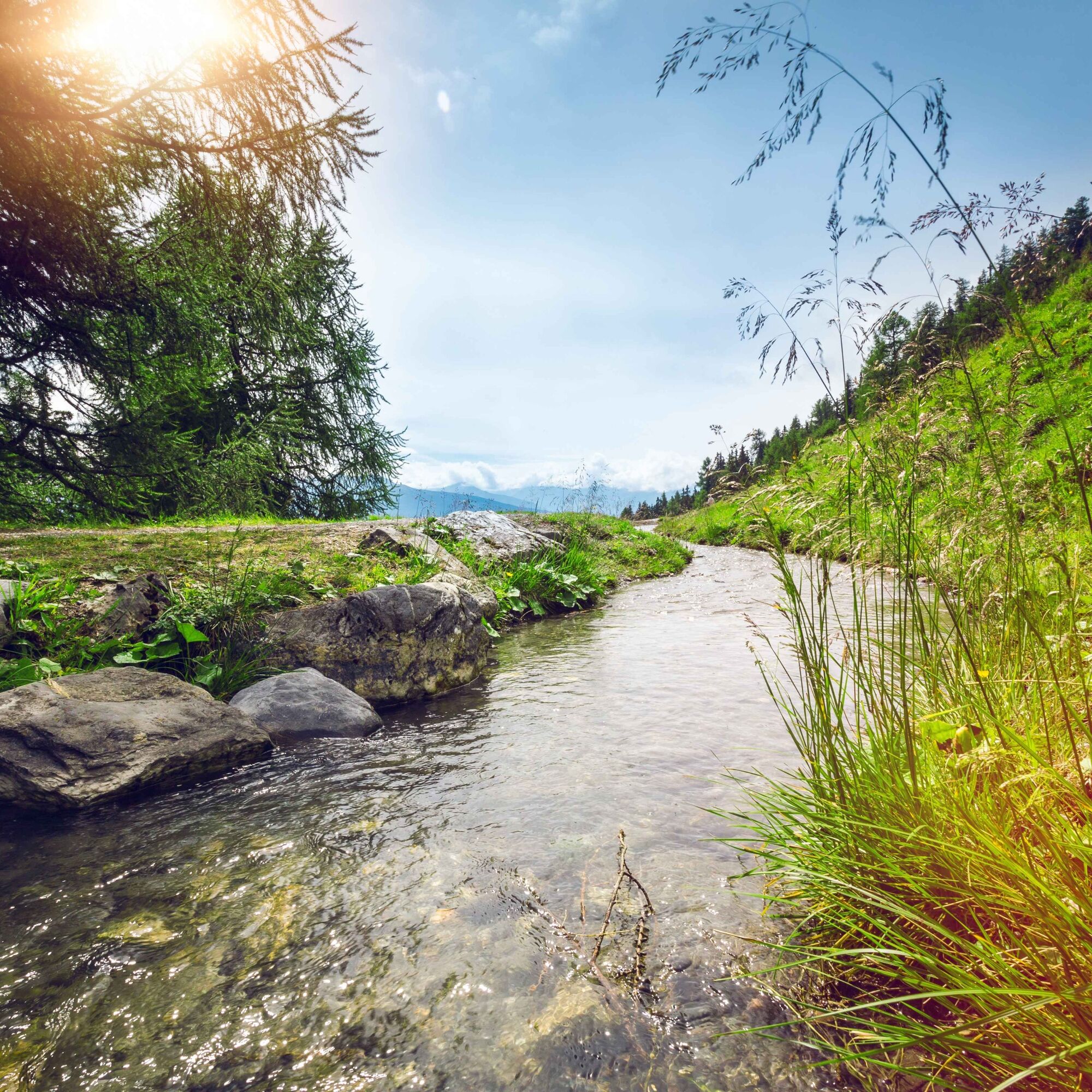


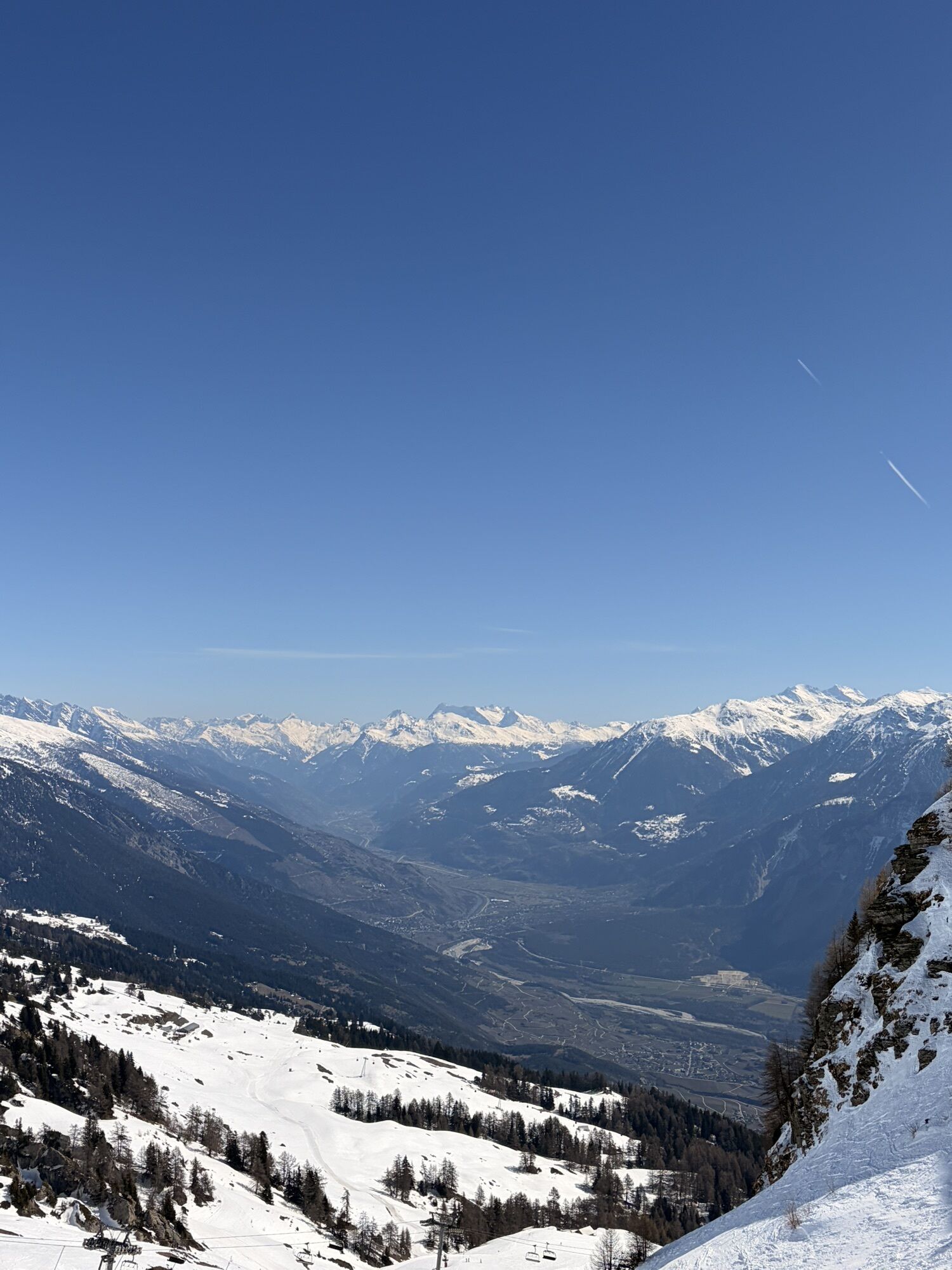
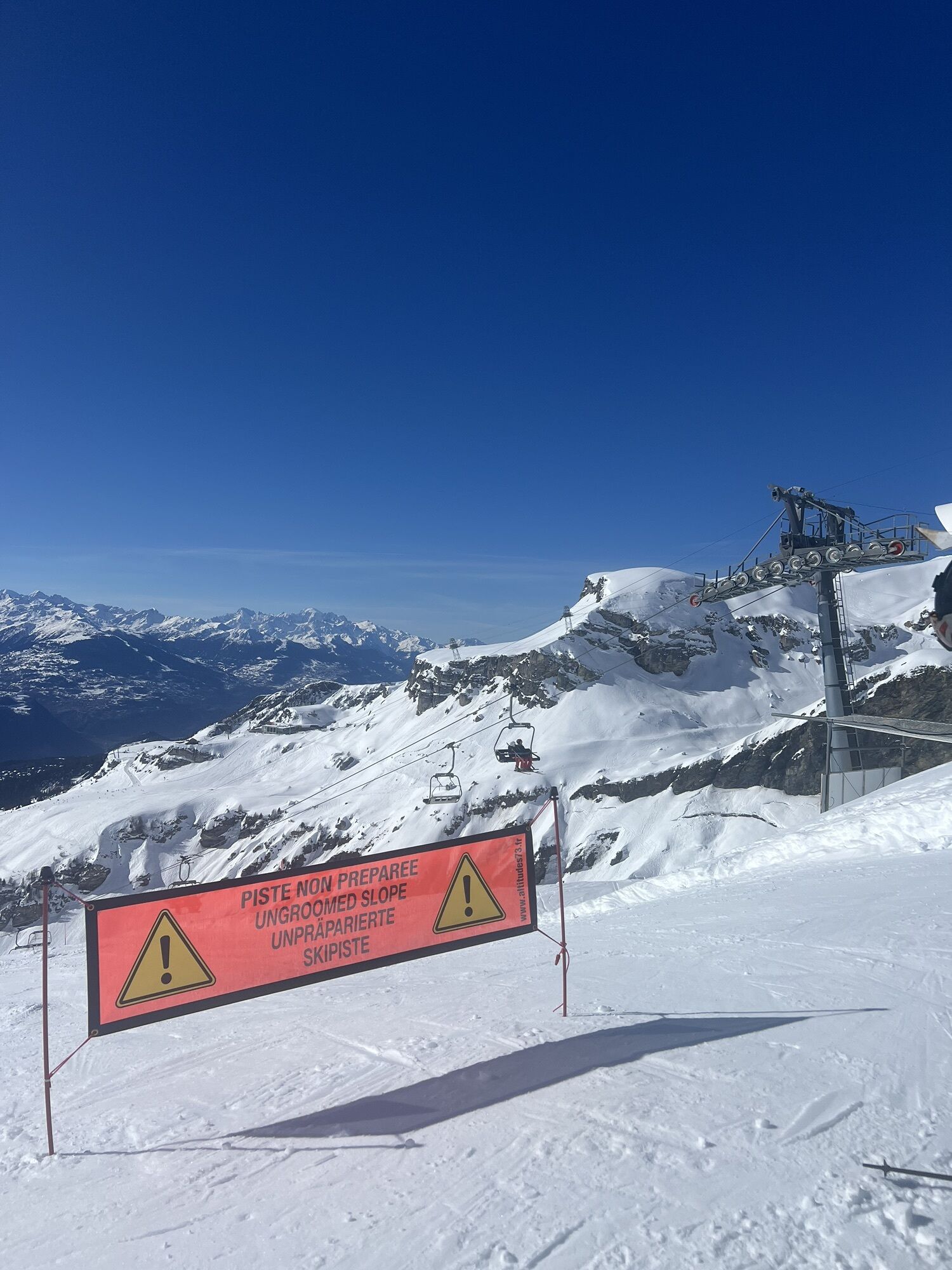
The hike is divided into three parts. The first third is rather flat, and the path follows the flanks of Bella Lui, then continues north to the highest point of the hike (2,347 m) on the slopes of Mont Bonvin. The trails are good and clearly marked. The route initially heads northeast to the Cabane des Violettes before turning north to ascend the valley flank. The last two thirds of the hike consist of a long, steady descent. The path first leads over open slopes scattered with large boulders above the tree line before reaching the Bisse du Tsittoret. From the Cave du Sex, the hike continues through the forest to Aminona.
Da
Da
We recommend:
Good footwear Weather-dependent clothing: always carry a waterproof vest Headgear Sunscreen Water bottle Picnic Camera Binoculars (optional) Walking poles (optional) Printout of the hiking trail (click «Print» to download)For certain hikes:
SwimsuitThe mountains, a place of joy to share and respect. The mountain world is a place to meet and create unforgettable moments together – whether by bike or on foot. For all users to benefit, it is essential to share this space with respect towards nature and agriculture. Respectful behavior allows everyone to engage in their leisure activities under the best conditions. Inform yourself about recommendations and rules. Assess your own skills and fitness well. Using the various routes is fundamentally at your own risk.
For all hikes:
Carry a map. Download the complete description of the hiking trail with a large-scale map by clicking "Print" at the top right of the page. Use only marked hiking trails and observe all signs and instructions – for your own safety, to protect grazing animals and out of respect for wildlife. Close gates after passing through. Behave considerately towards other trail users, plants, and animals.For mountain hikes:
Carry additional sun protection. UV rays at high altitude can be very strong, even in cloudy weather. Plan your hike carefully: consider the required fitness level of all participants, weather forecasts, and seasonal conditions. Weather conditions can change very quickly and without warning in the mountains. Appropriate clothing and sufficient provisions (food and drink) are very important. In unsettled weather, turn back early.For high alpine hikes:
Inform your family about your hiking route. Avoid hiking alone if possible. Do not go onto glaciers without a mountain guide. Observe warning signs indicating hazards at riverbanks, along watercourses below dams and reservoirs: water levels can rise quickly and without warning.Highway A9, exit 28 (Sierre-West) coming from the west or exit 29 (Sierre-East) coming from the east. Follow the signs to Crans-sur-Sierre (road to Chermignon) and then "Parking Crans-Cry d’Er".
Train to Sierre. 350 m on foot to the valley station of the funicular towards Montana. The funicular can be reached from Sierre station by following the red marking on the ground. To get to the valley station of the Cry d’Er gondola in Crans-Montana, either take the bus towards Crans-sur Sierre (stop Téléphérique) or walk (approx. 2 km, 20 min). Gondola ride to Cry d’Er. After the hike, take the bus from Aminona to the funicular mountain station in Montana and return to Sierre. Detailed timetables for trains and Postbuses can be found at sbb.ch.
Large parking lot at the valley station of the Cry d’Er gondola. Follow the local parking guidance system in Crans-Montana.
View this route on SchweizMobil:
No. 224 Sentier Panorama 4000More information about the destination:
Crans-MontanaTake your binoculars to observe the local wildlife – especially the birds of prey and the numerous marmots living in the rocky slopes.
Priljubljeni izleti v okolici
- 5,0
Bisse du Ro
svetlobaPohodništvo 11,2 km - 5,0
Torrenthorn- Rigi der Walliser Alpen
Pohodništvo 2,99 km - 4,7
Leukerbad - Gemmipass - Lämmerenhütte
srednjaPohodništvo 9,49 km - 4,0
Grand Bisse de Lens
svetlobaPohodništvo 8,73 km - 4,0
Gemmipass - Lämmerenhütte - Rote Totz Lücke - Daubensee - Gemmipass
srednjaPohodništvo 13,7 km Gratweg
Via ferrata 5,16 kmZu den Engstligenfällen
srednjaPohodništvo 8,06 kmTalabfahrt (Rinderhütte-Tunnel-Folljeret-Leukerbad)
Pohodništvo 7,78 km- 4,0
Wolfstritt
Pohodništvo 7,02 km - 5,0
Klettersteig Daubenhorn
težkoVia ferrata 5,34 km
Pohodništvo in sledenje


Ne zamudite ponudb in navdiha za naslednje počitnice
Vaš e-poštni naslov je bil dodan na poštni seznam.