






Mattmark to Seewjinu
Stopnja težavnosti: T4
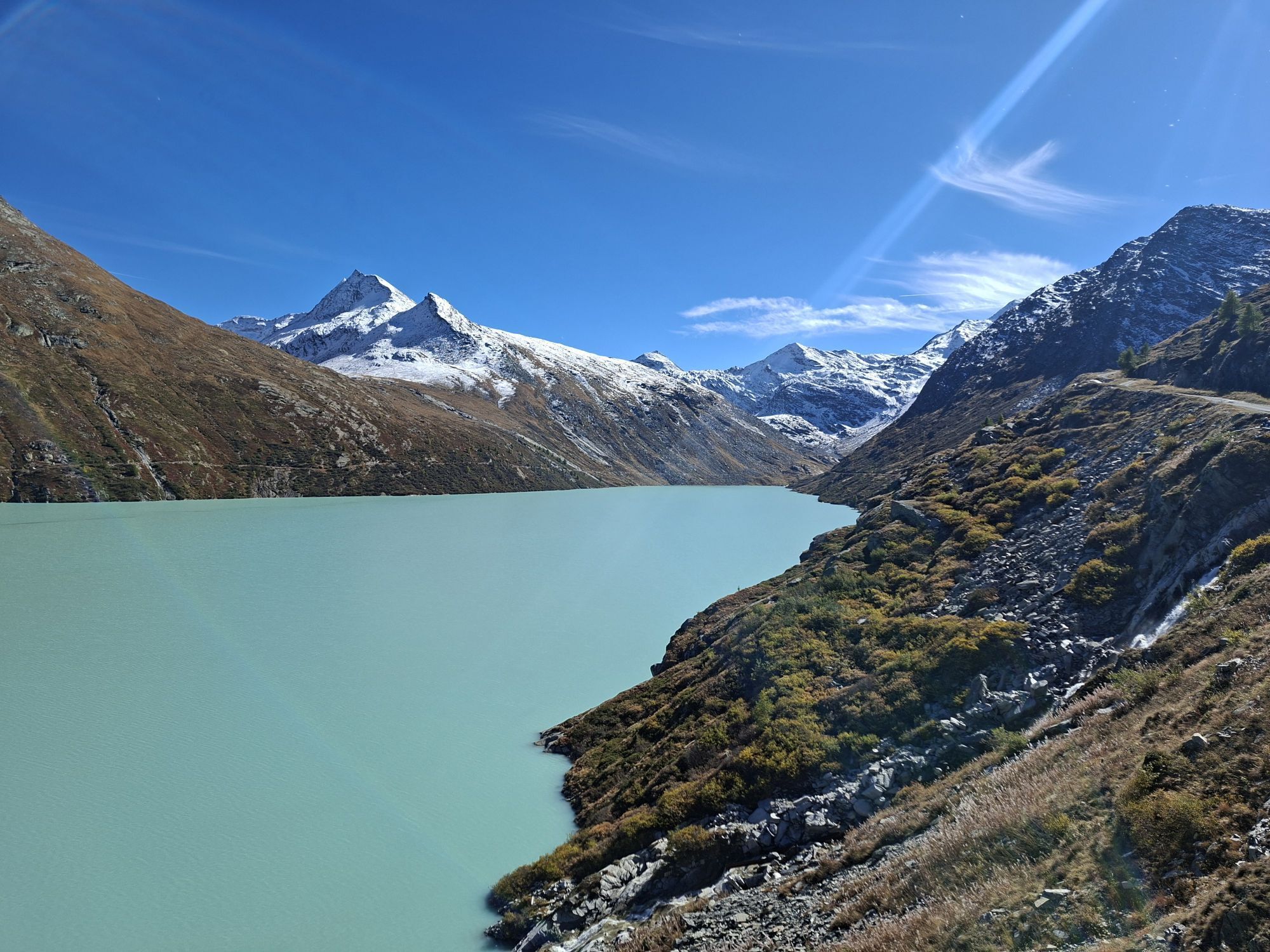
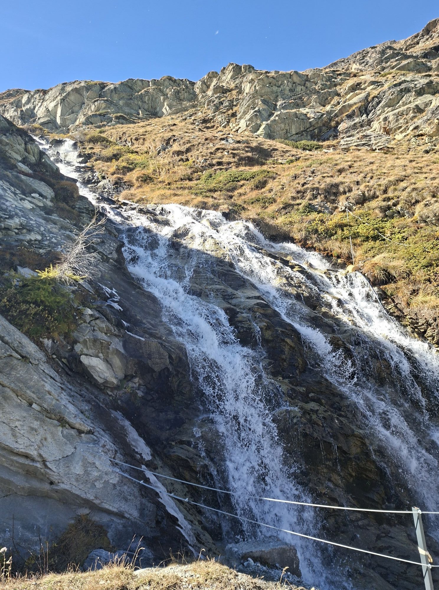
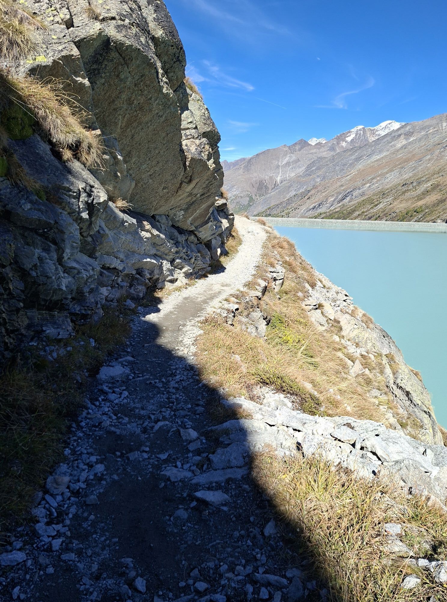
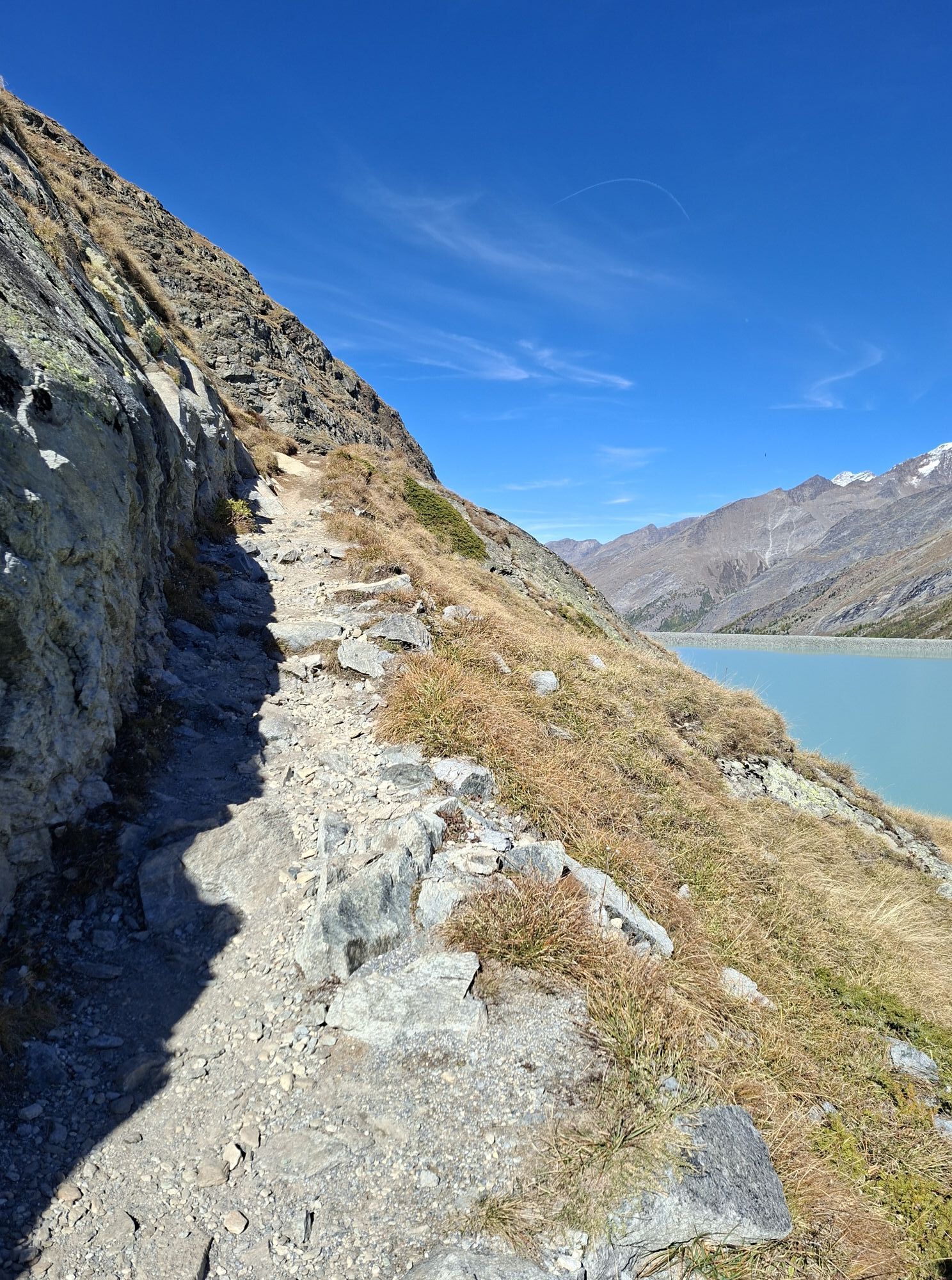
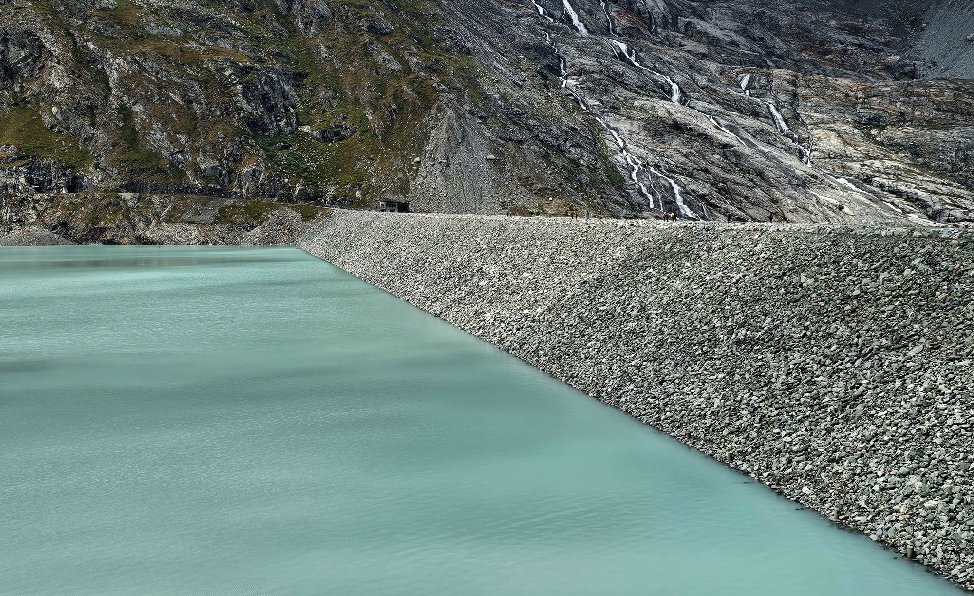
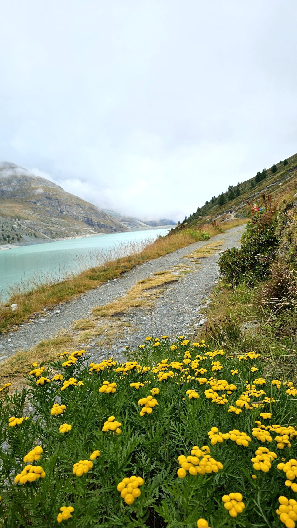
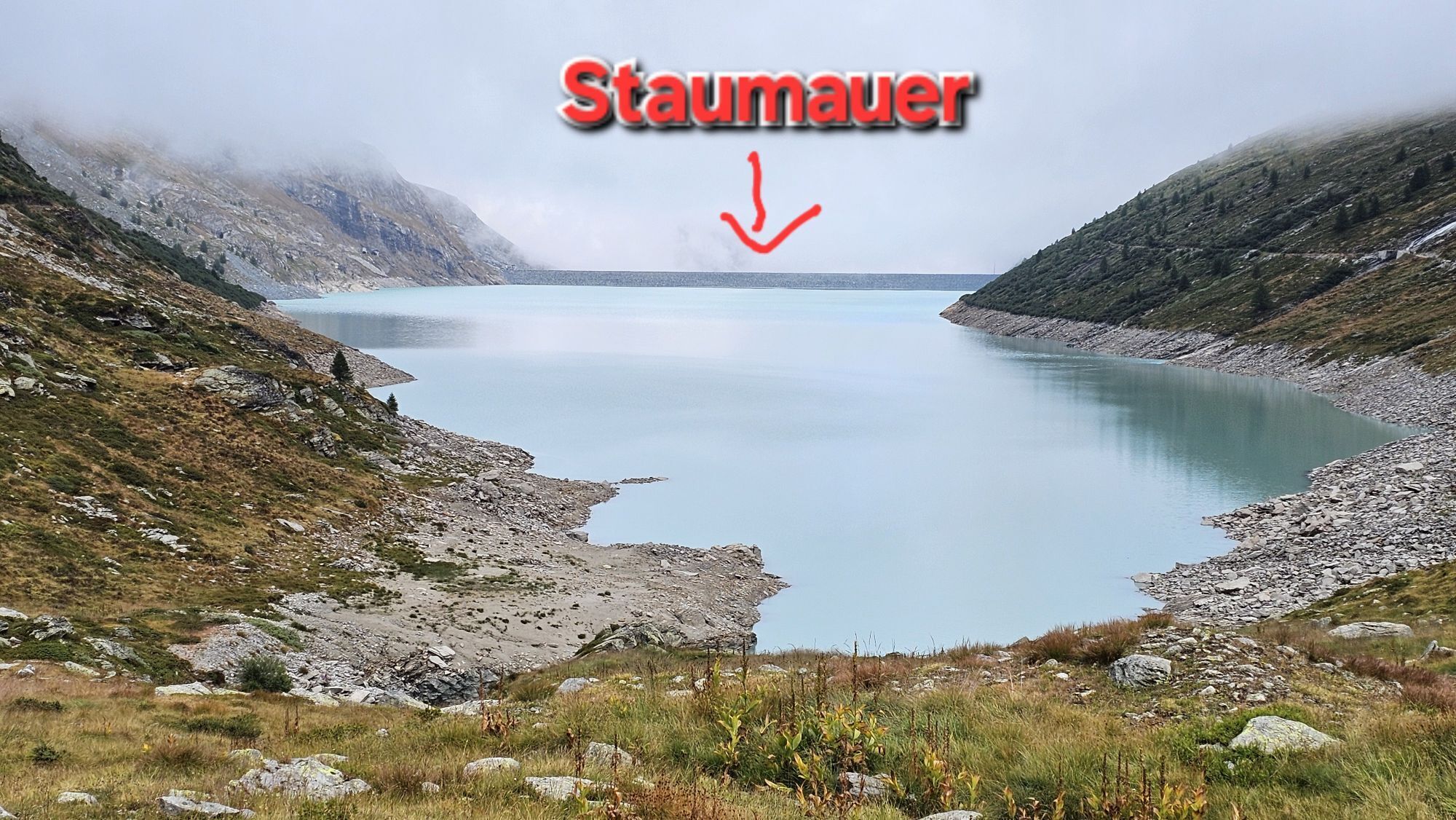
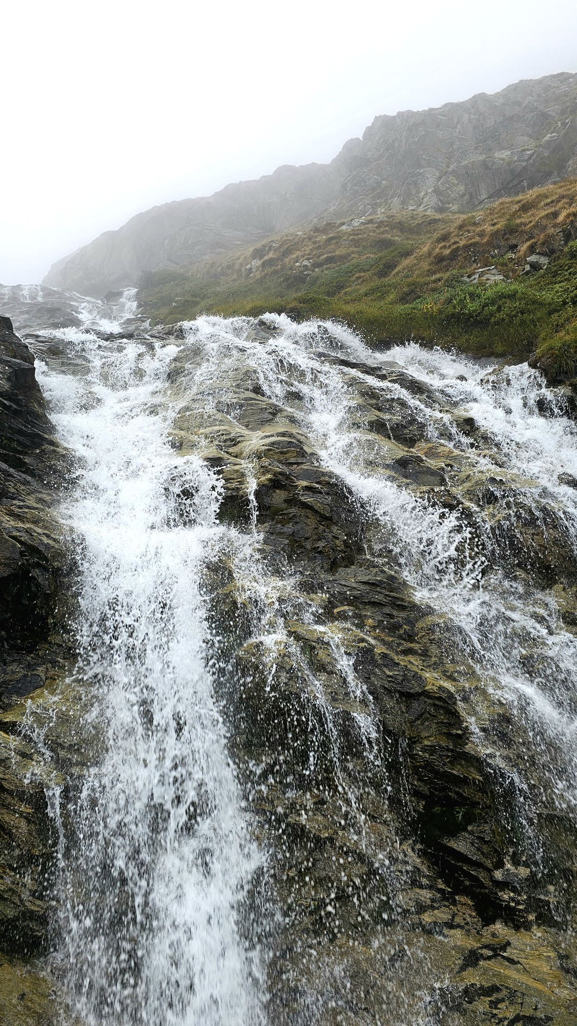
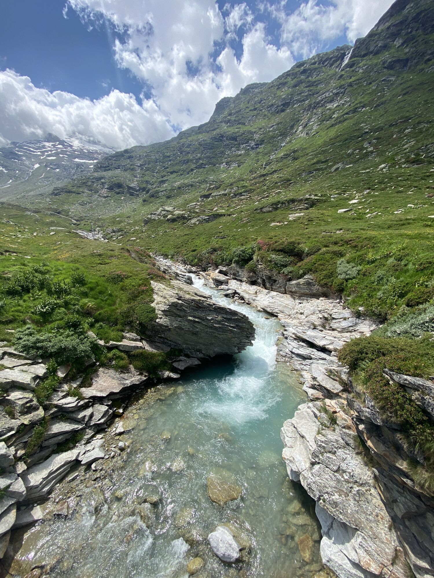
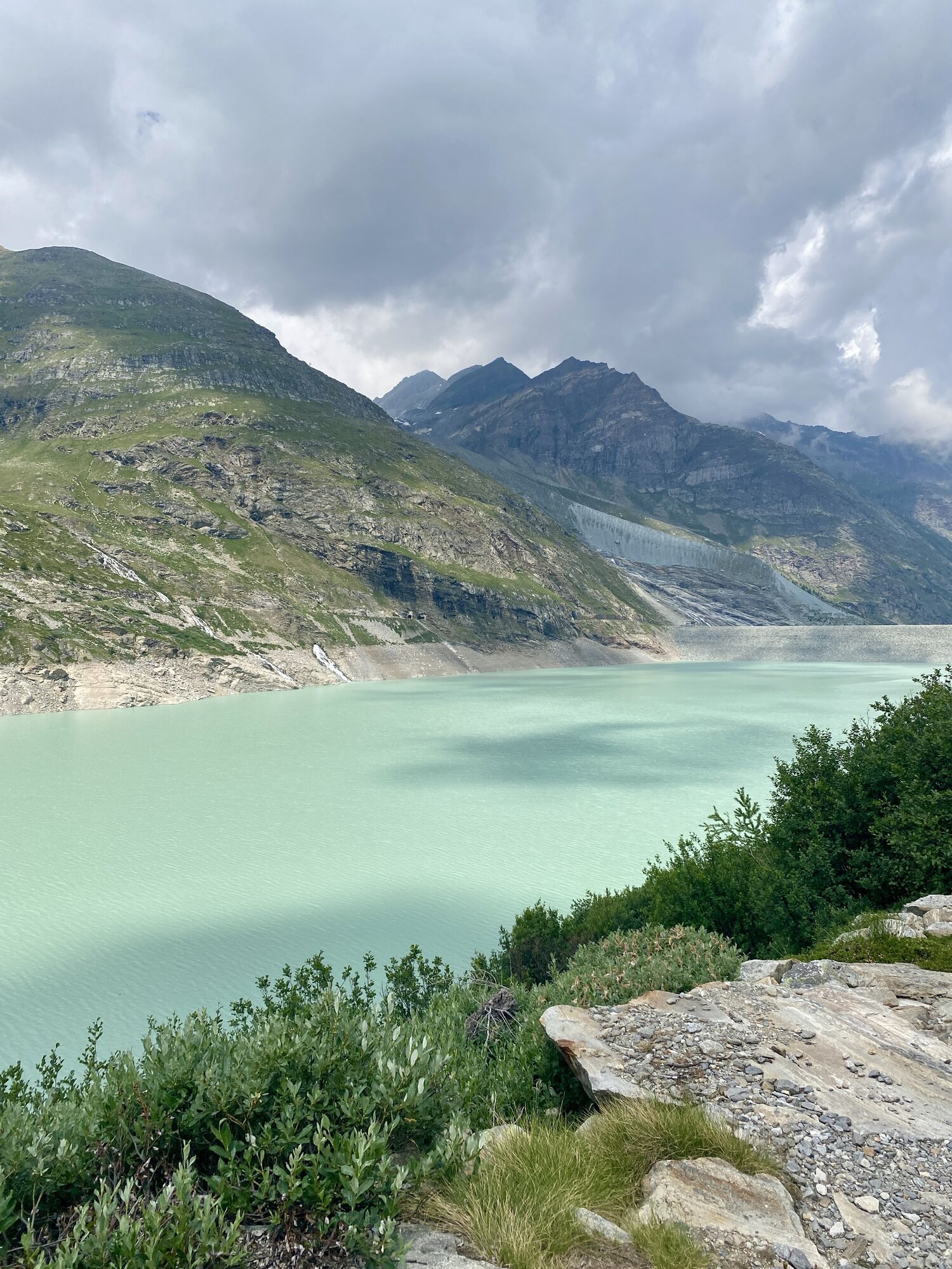
This alpine hiking route is one of Saas' insider tips and is suitable for experienced hikers. The highlights are the mountain panorama and the various small lakes on Seewjinenberg.
The path starts on the...
This alpine hiking route is one of Saas' insider tips and is suitable for experienced hikers. The highlights are the mountain panorama and the various small lakes on Seewjinenberg.
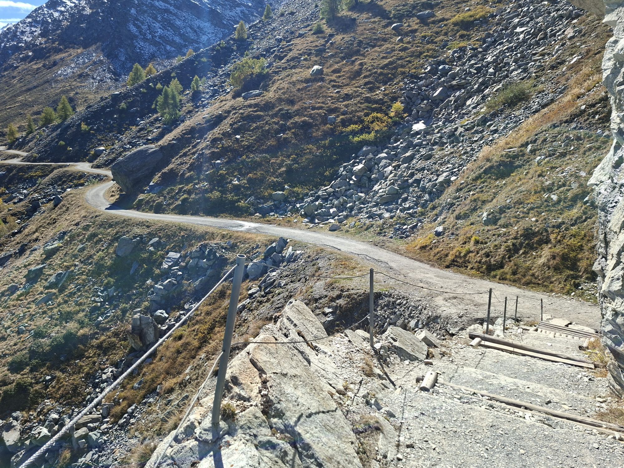
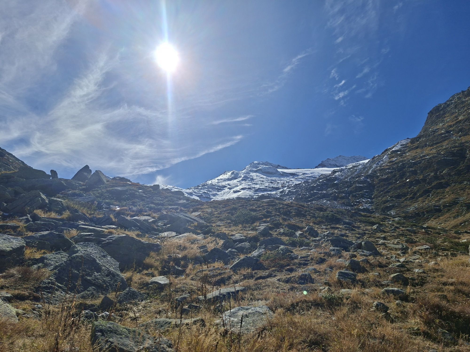
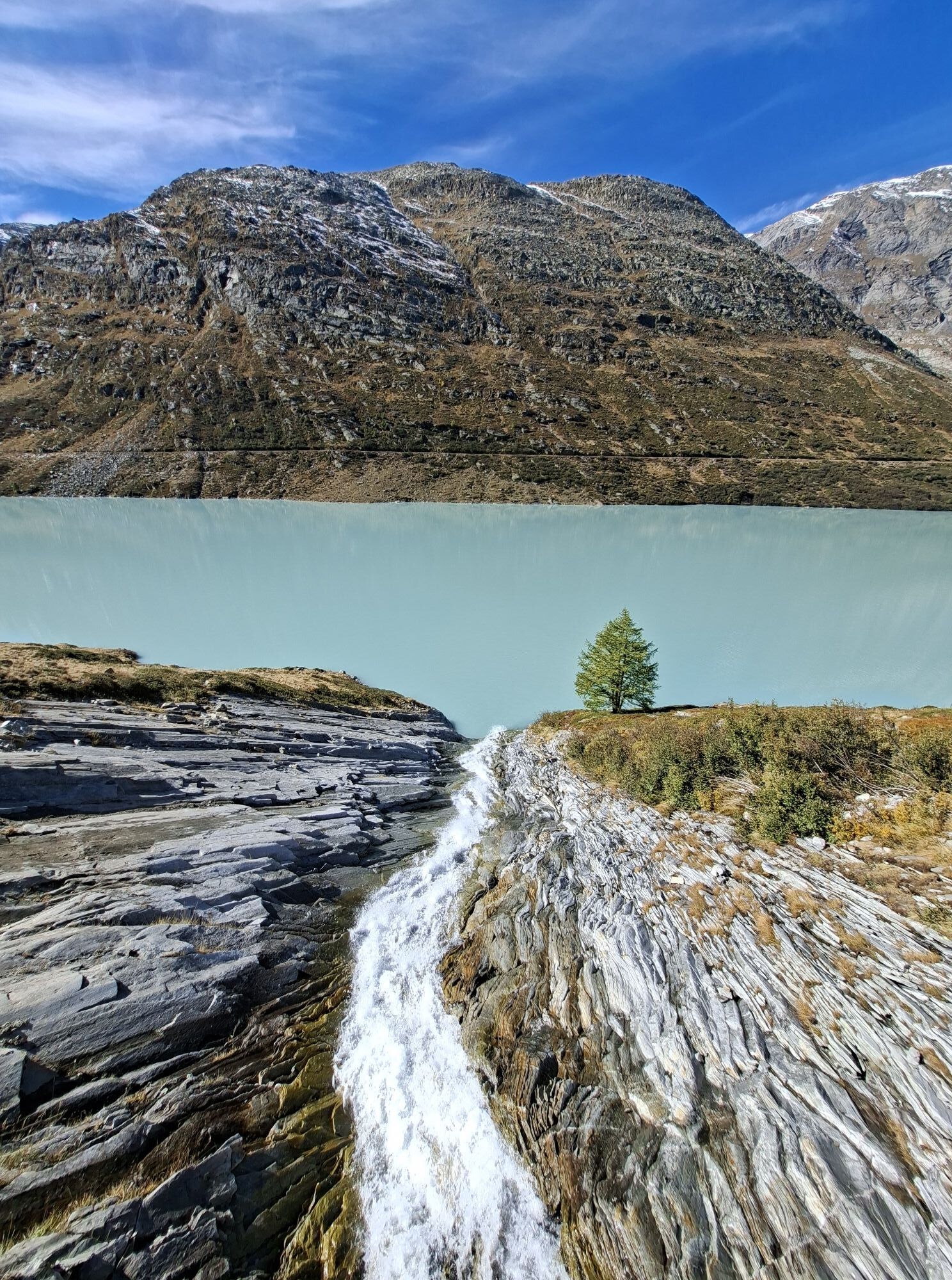
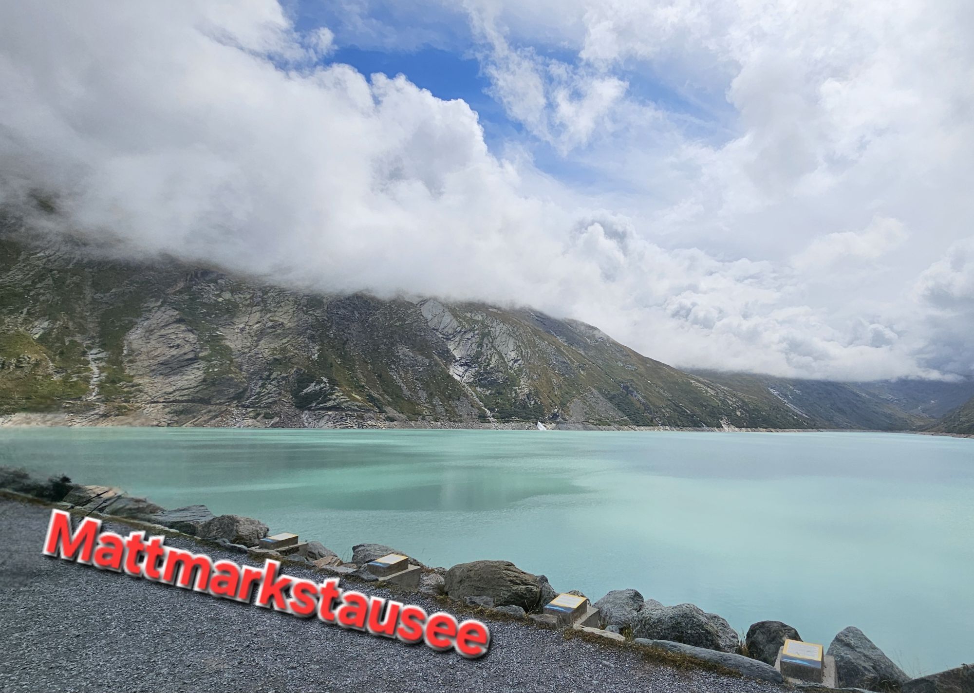
The path starts on the dam crest and first follows the path towards Schwarzbergalpe. At the hairpin bend, the path turns left and leads through the almost untouched moraines and mountain landscape above the Mattmark lake. From here, the trail is only marked with blue-white markers and cairns. There are only occasional trail traces in this alpine terrain. Halfway, the lakes appear and invite you to linger. The view stretches over the water to the mountain peaks of the Swiss-Italian border region. Depending on the sun position, the golden Mary statue on Monte Moro Pass shines on the mountain horizon.
At the end, the path goes over the lake loop and back to the dam crest.
Note:
Users of alpine hiking trails must be surefooted, free from dizziness, in very good physical condition, and must know how to handle rope and ice axe. They must also be able to overcome climbing sections using their hands and know the dangers in the mountains.
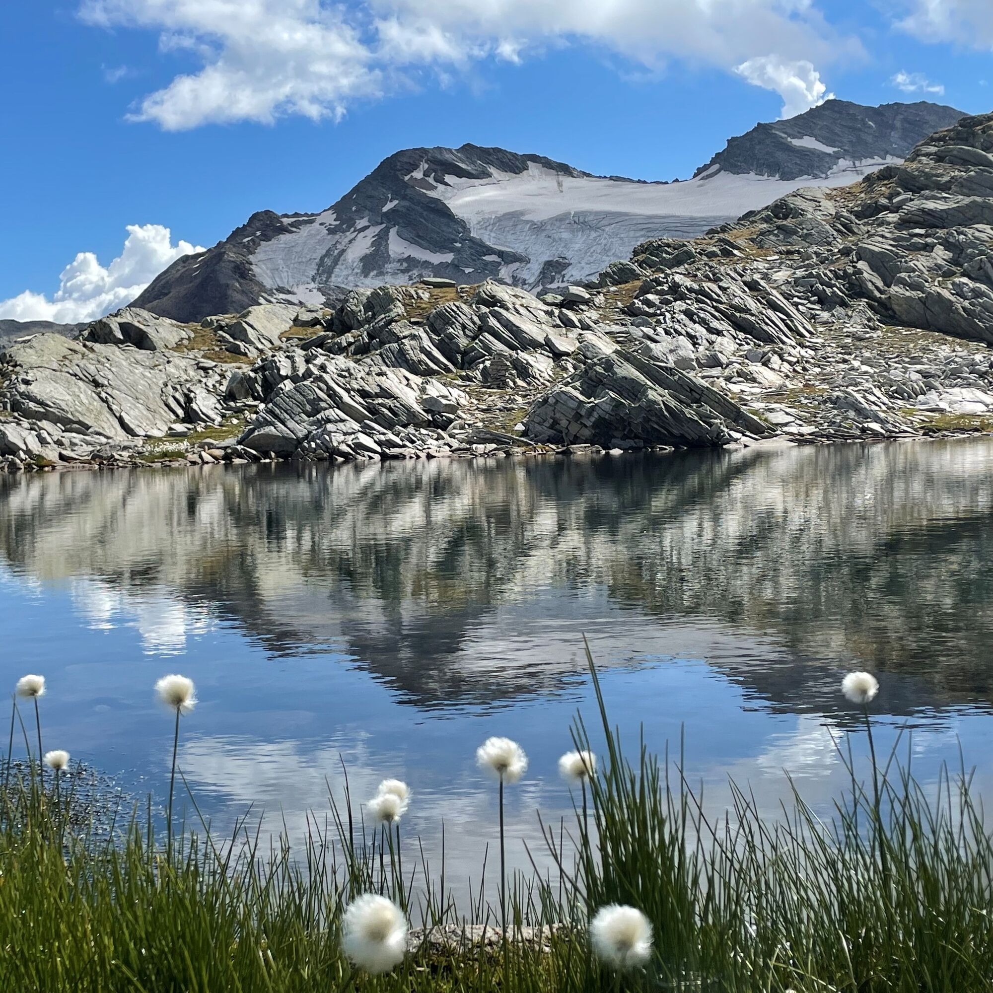
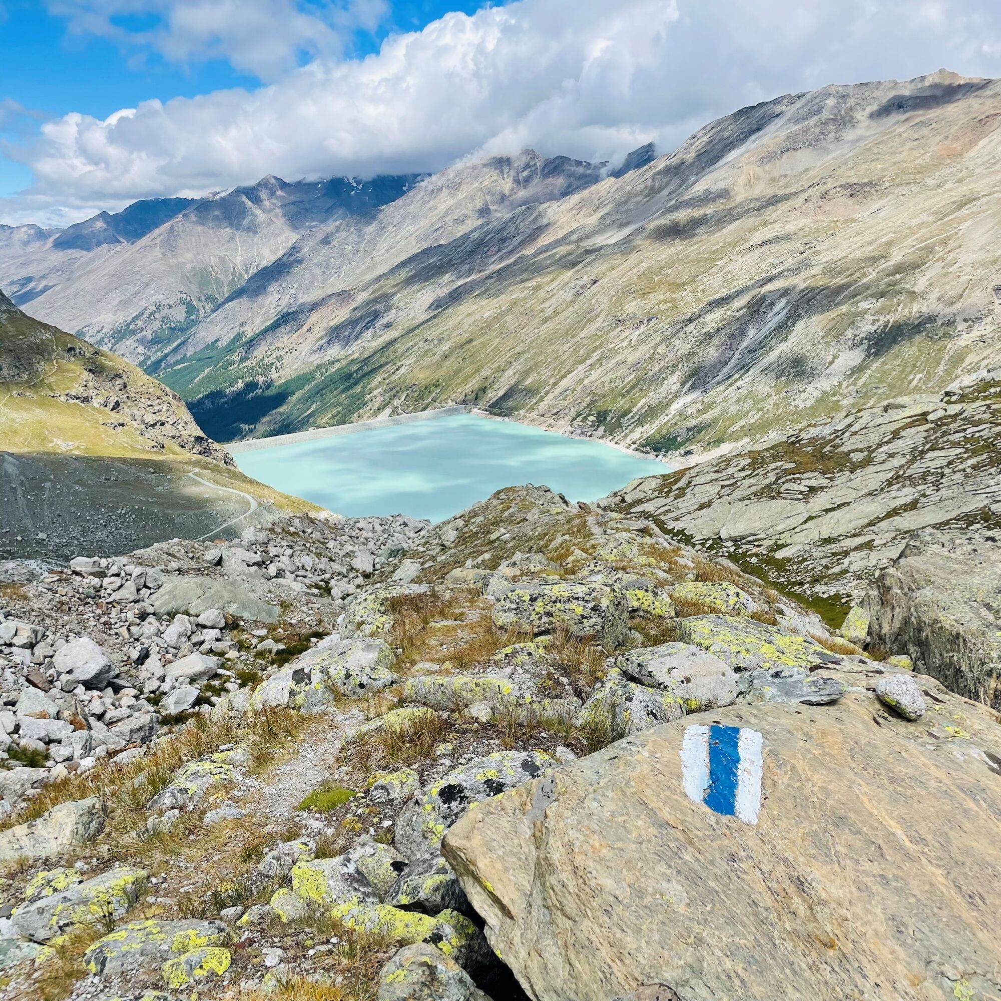
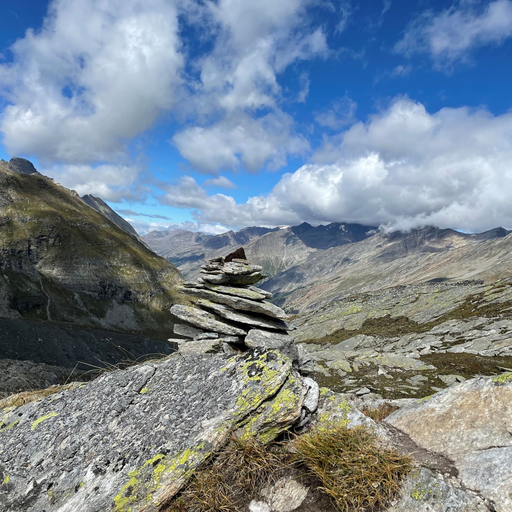
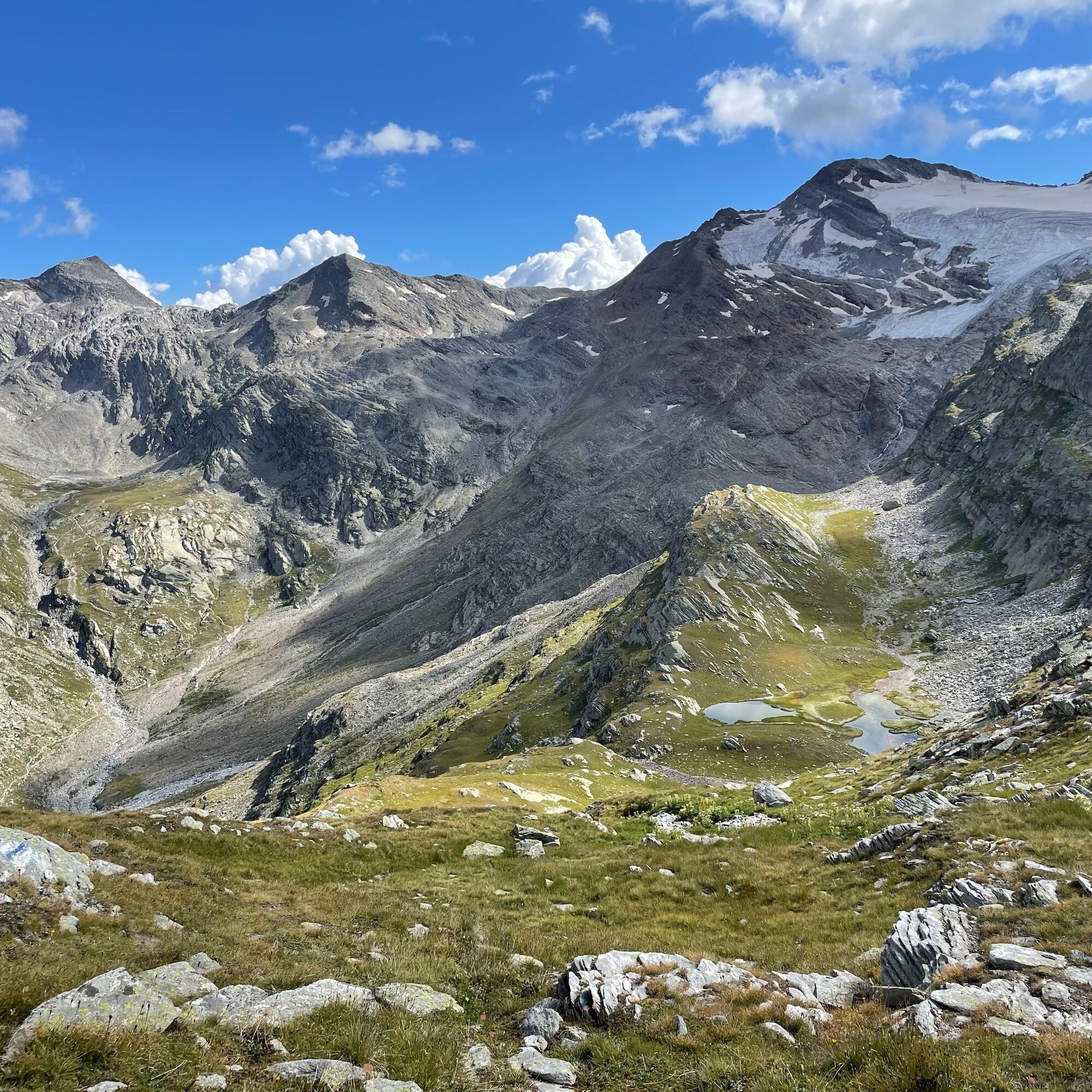
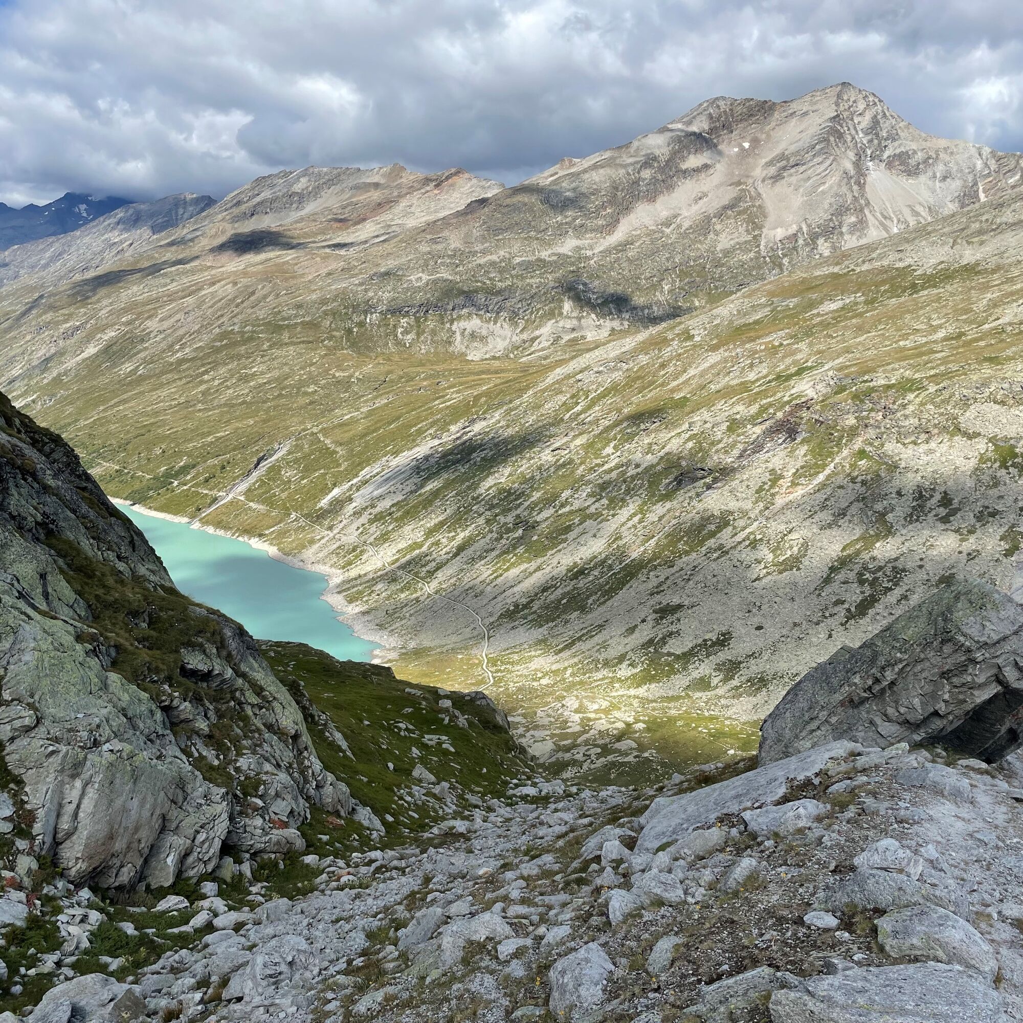
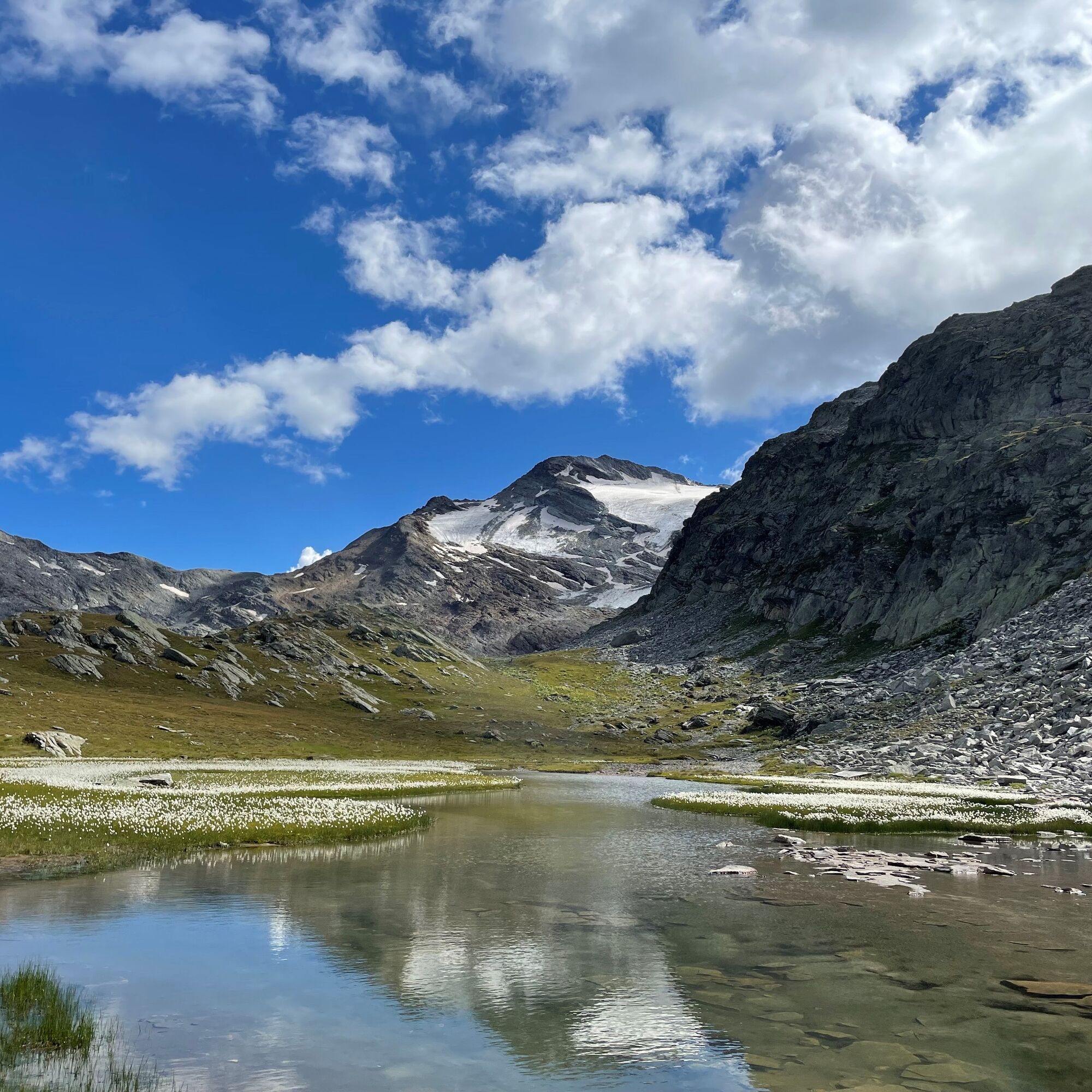

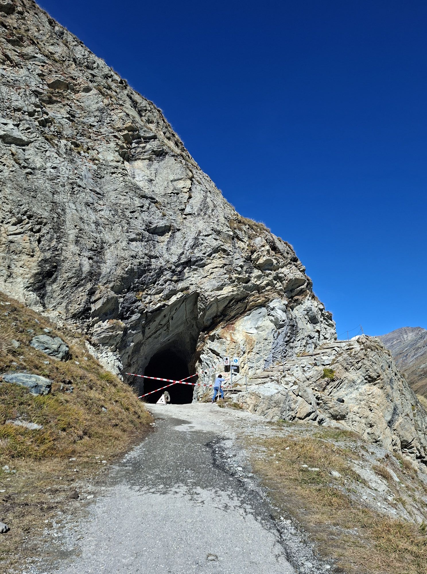
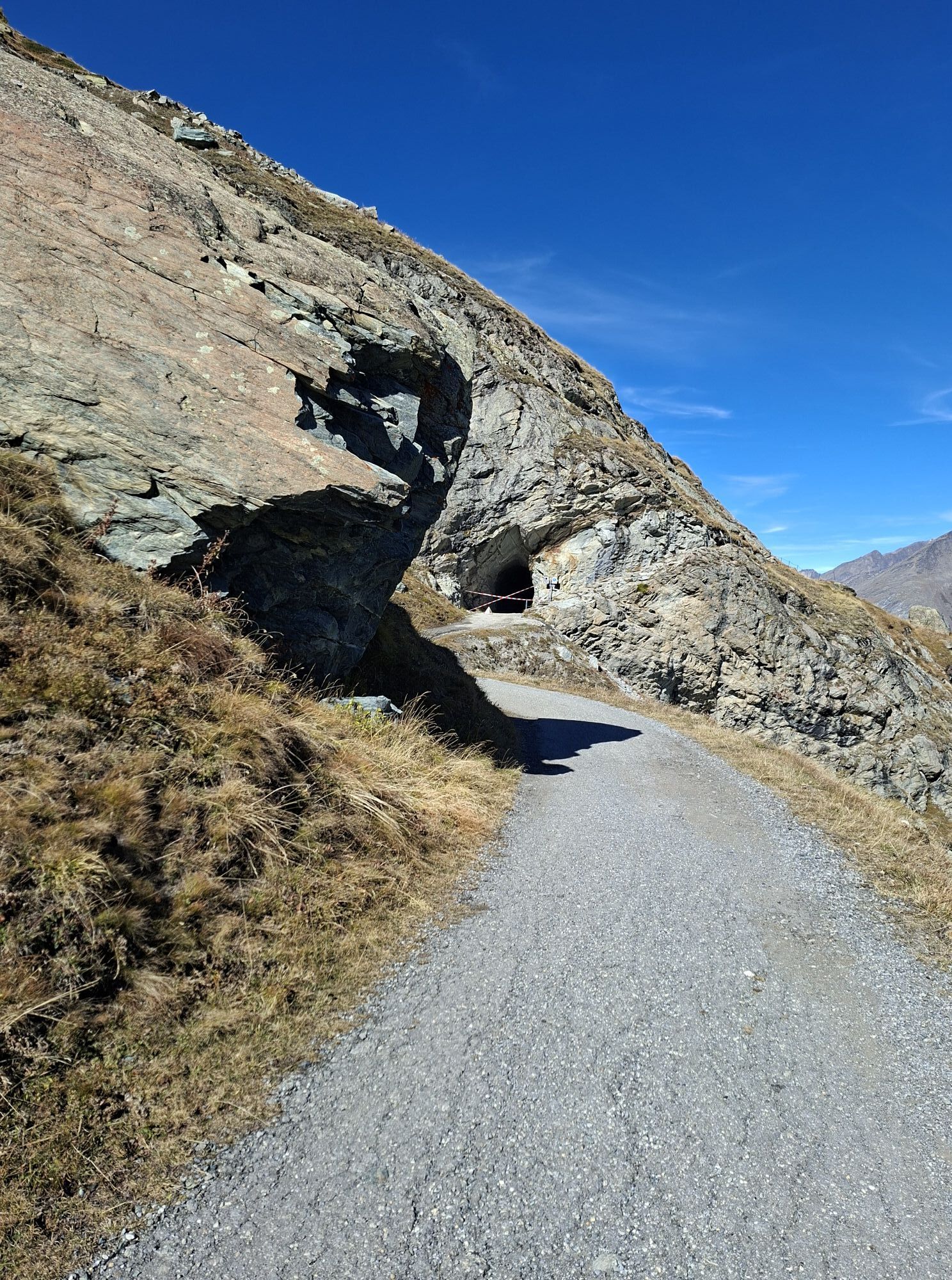
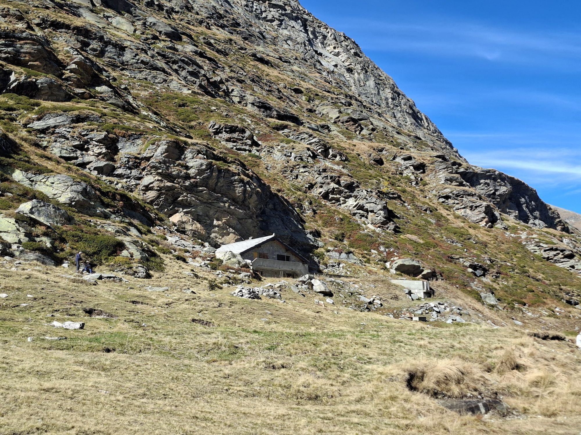
From the dam crest, the path leads through the pedestrian tunnel and at the crossroads, it goes right uphill towards Schwarzbergalpe and Britannia Hut. At the signpost in the hairpin bend, the path turns left. From here, blue-white markings and cairns lead to the destination. After the first ascent, the path crosses the two moraines of the Schwarzberg glacier to the rock of Seewjinenberg, which is traversed during the ascent up to the first lake. From here, the route follows the slope down into the hollow (depression) with the second lake. From this lake, the path first goes through the hollow uphill to the moraine and down over it into the valley. Above Distelalp, old trail traces follow. The zigzag is not always easy to recognize. At the hut of Distelalp, this part of the path ends and continues along the path around the Mattmark reservoir. You cross the bridge at the end of the lake and follow the path on the other side of the lake back to the starting point.
Good footwear
Outdoor clothing: always carry a waterproof jacket
Sun protection
Fluids and provisions
Hiking poles (optional)
Navigation tool
First aid kit
Use of the hiking trails and information on this website is at your own risk. Conditions on site may cause route changes.
Use only marked hiking trails and follow all signs and instructions – for your own safety, to protect livestock, and without disturbing the peace of wild animals.
Be considerate towards other trail users and the landscape. Take your trash and others' trash with you.
Always carry sun protection. UV rays at altitude can be very strong, even in cloudy weather.
Plan your hike carefully: consider the required fitness of all participants, weather forecasts, and seasonal dependencies.
Weather conditions in the mountains can change very quickly and without warning. Appropriate clothing and sufficient provisions (food and drink) are very important. Turn back early in case of unstable weather.
Do not go on glaciers without a mountain guide.
Observe warning signs indicating dangers.
Inform third parties about your route and never go alone if possible.
Pay attention to the opening times of mountain railways.
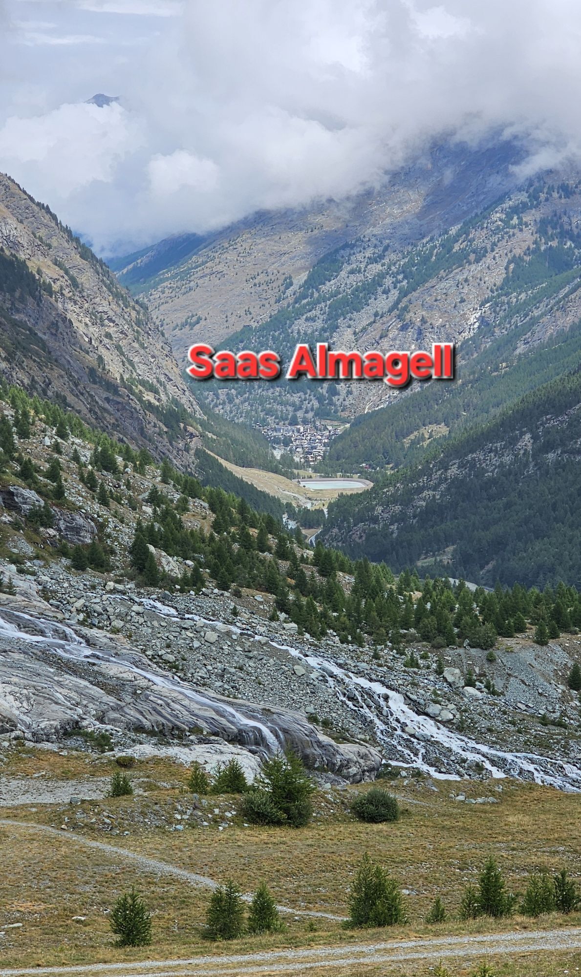
The Saastal is easy and convenient to reach by car from all directions, whether from Switzerland or abroad. From the north, you reach us via Bern through the Lötschberg car shuttle train. From the east, you come over the Furka Pass or the Furka car shuttle. From the south, we are accessible via Simplon Pass or Simplon car shuttle, and from the west, you drive via Lausanne along the Rhone Valley to Visp and then towards Saas-Fee. From Visp, drive south towards Saas-Fee. At the "Killerhof" roundabout near Stalden, take the second exit to Saas-Fee. In Saas-Grund, turn left after the church towards Saas-Almagell.
Take the SBB train to Visp and transfer there to the PostBus towards Saas-Fee (bus 511). In Saas-Grund at the Post stop, change to the PostBus towards Saas-Almagell (bus 513). Get off at the Mattmark stop.
Parking available directly at the dam.
T4
Saastal Tourismus AG
Obere Dorfstrasse 2
CH- 3906 Saas-Fee
Tel.: +41 (0)27 958 18 58
E-Mail: info@saas-fee.ch
www.saas-fee.ch
Restaurant Mattmark
CH- 3905 Saas-Almagell
Tel.: +41 (0)27 957 29 06
Pay attention to the flowering period of the cottongrass. It is most beautiful in July and August.
The descent leads over moraines, rocks, and vegetated slopes, and good surefootedness is highly recommended.
Pridobite vpogled Vedno v živo na mestu z več kot 9.500 spletnimi kamerami. bergfex Kot uporabnik Pro si lahko zdaj ogledate ustrezne spletne kamere za številne izlete v aplikaciji izleti iz. Tako si lahko neposredno ogledate trenutne razmere. Priljubljeni izleti v okolici
- 4,9
Allalinhorn vom Mittelallalin über Normalweg
srednjaVisokogorska tura 6,15 km - 3,3
Europaweg Grächen - Europahütte - Zermatt
težkoPohodništvo 39,9 km - 3,6
Höhenweg Kreuzboden - Almagelleralp - Saas-Almagell
Pohodništvo 9,74 km - 3,5
Waldweg Saas-Fee - Saas-Almagell
Pohodništvo 2,83 km - 5,0
Weissmies Südgrat von Saas Almagell
srednjaVisokogorska tura 20,5 km - 5,0
Marmot mountain path Spielboden
srednjaPohodništvo 3,89 km - 5,0
Via ferrata Jägihorn
težkoVia ferrata 6,14 km - 5,0
Ibex path
srednjaPohodništvo 9,02 km - 3,5
Saas-Fee - Gemsweg - Hannig - Plattjen
Pohodništvo 6,89 km - 5,0
Mountain trail Kreuzboden - Hohsaas
srednjaPohodništvo 4,65 km
Pohodništvo in sledenje


Ne zamudite ponudb in navdiha za naslednje počitnice
Vaš e-poštni naslov je bil dodan na poštni seznam.





