


Monte-Moro Pass
Stopnja težavnosti: T3
Please note:
The cable car from Monte Moro Pass to Alpe Bill will remain closed for this summer season following the accident on 30 December 2025.
At Monte Moro Pass, the CAI ‘Oberto Maroli’ hut is open...
The cable car from Monte Moro Pass to Alpe Bill will remain closed for this summer season following the accident on 30 December 2025.
At Monte Moro Pass, the CAI ‘Oberto Maroli’ hut is open as usual.
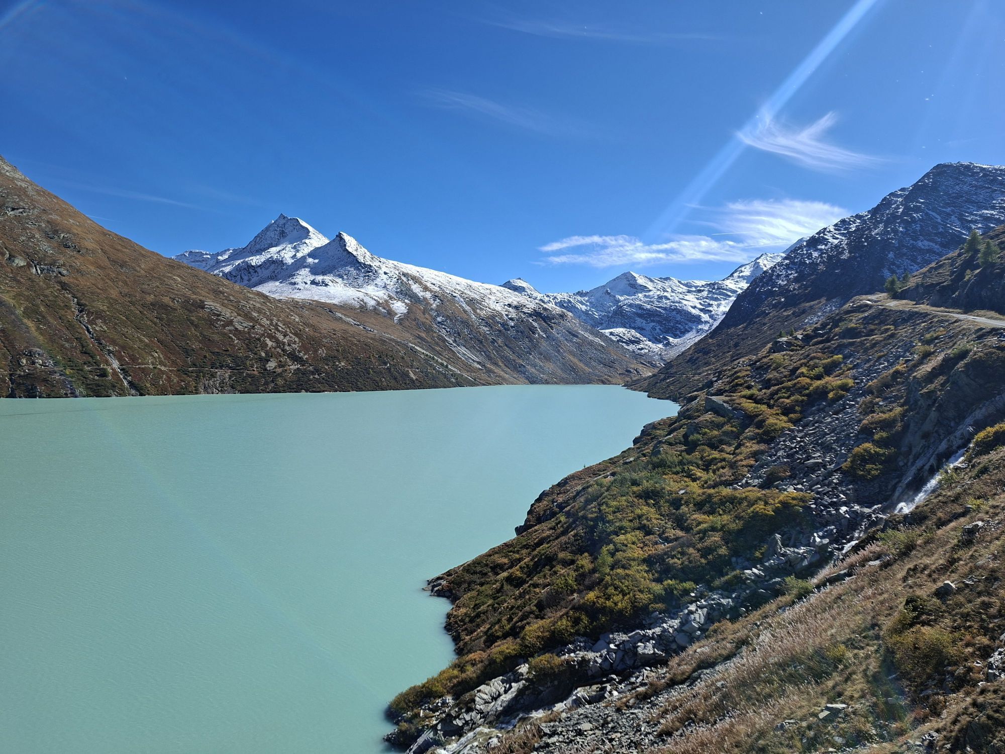
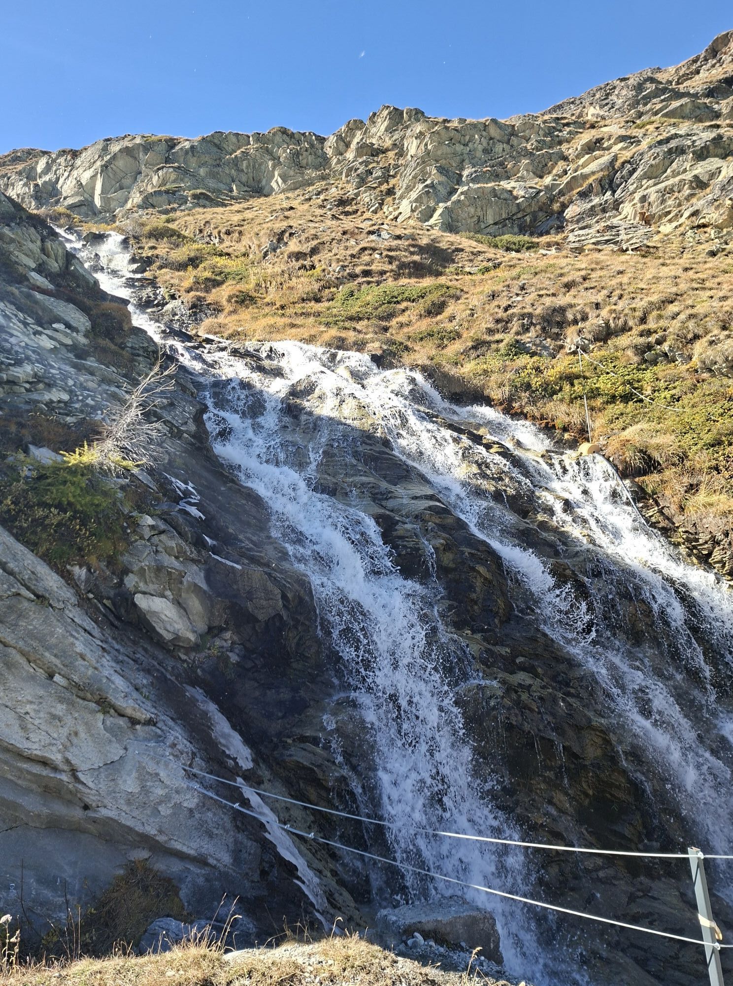
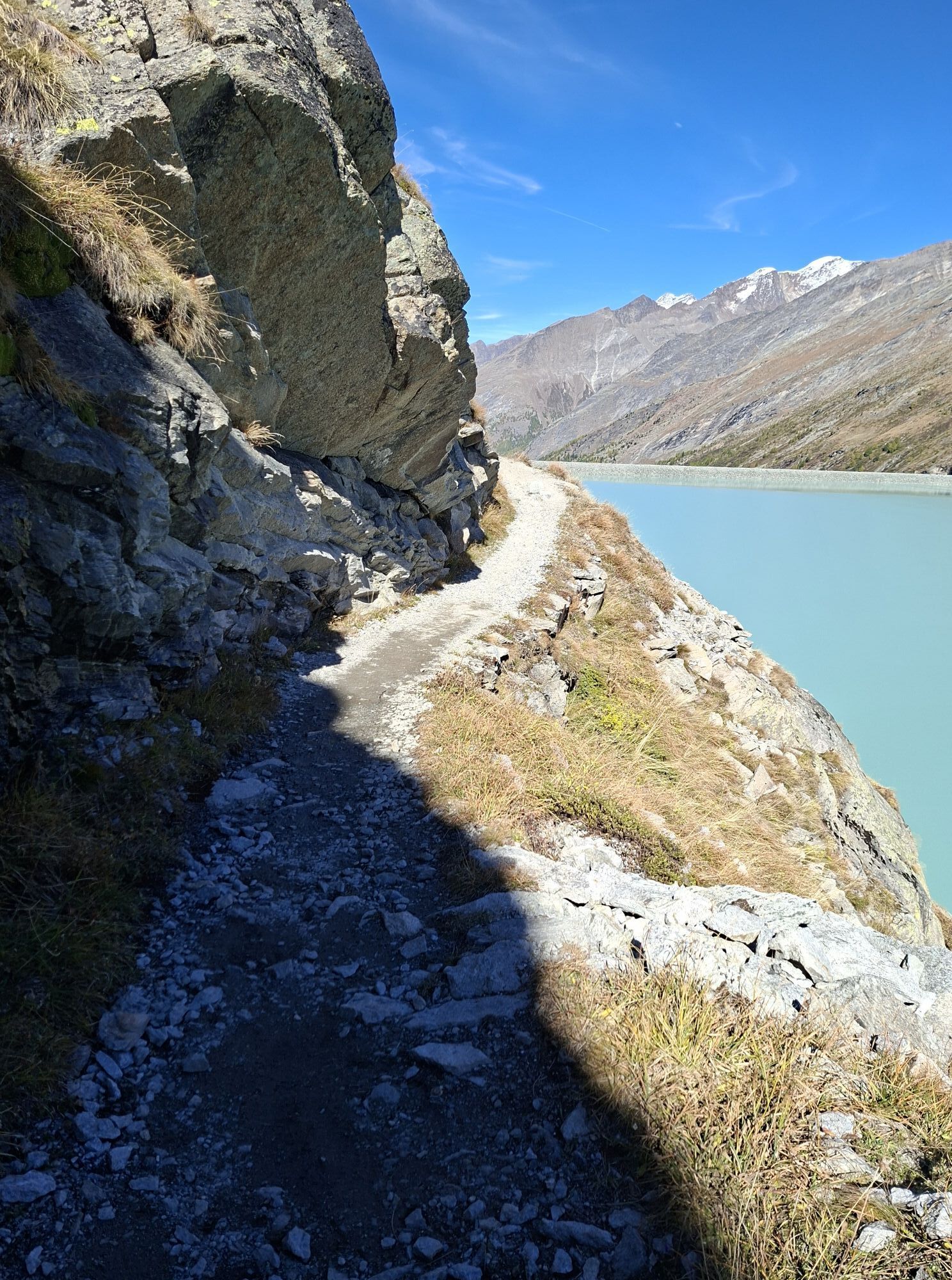
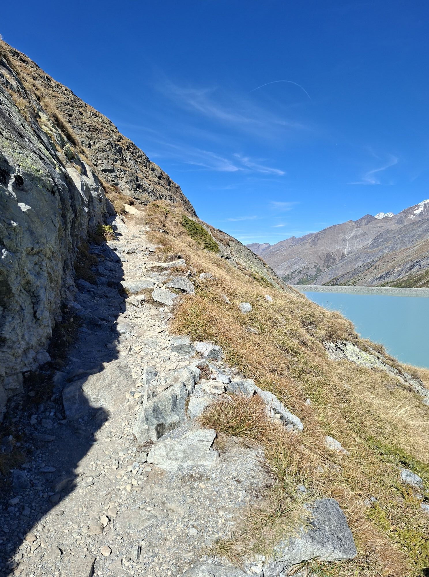
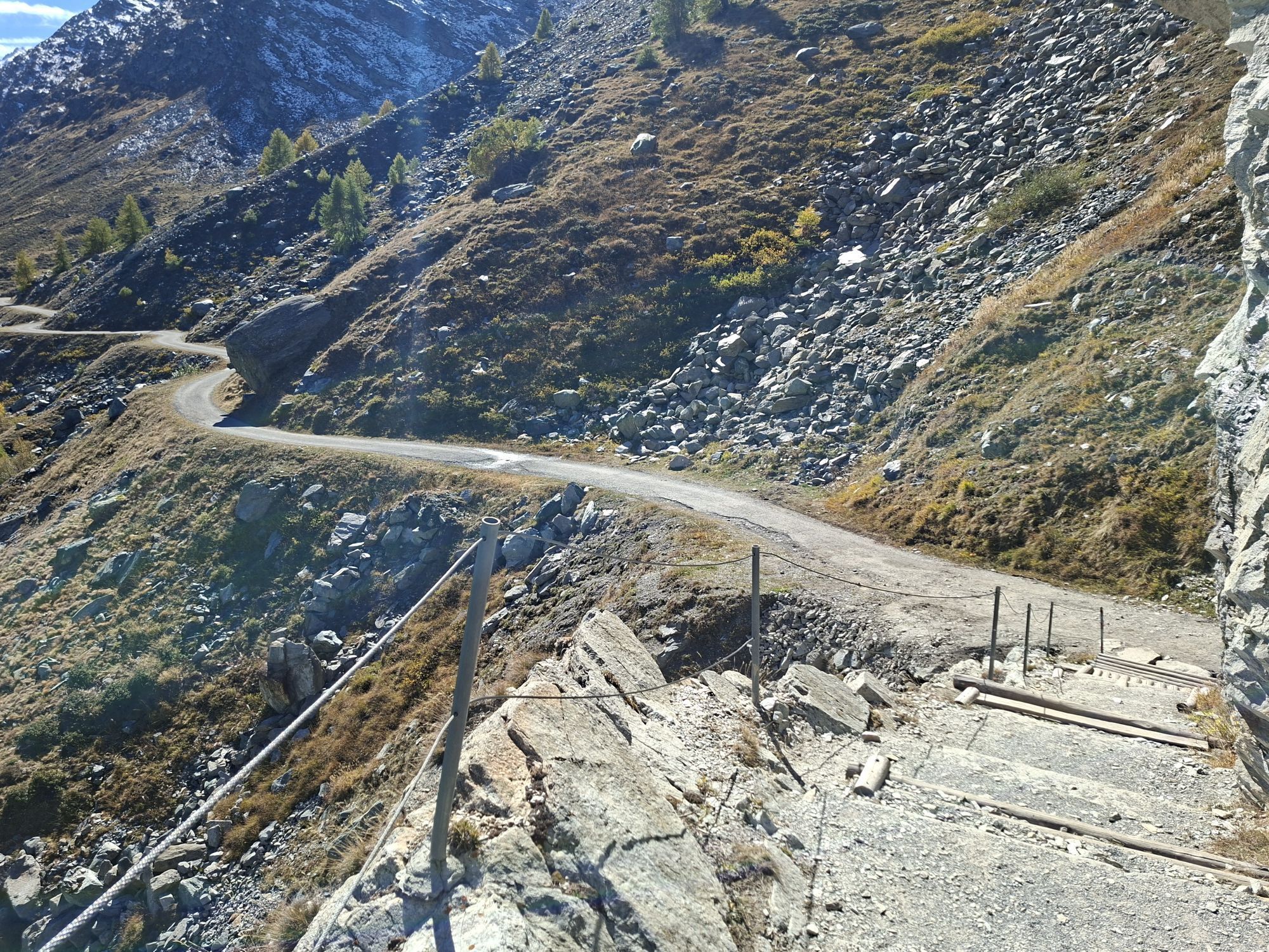
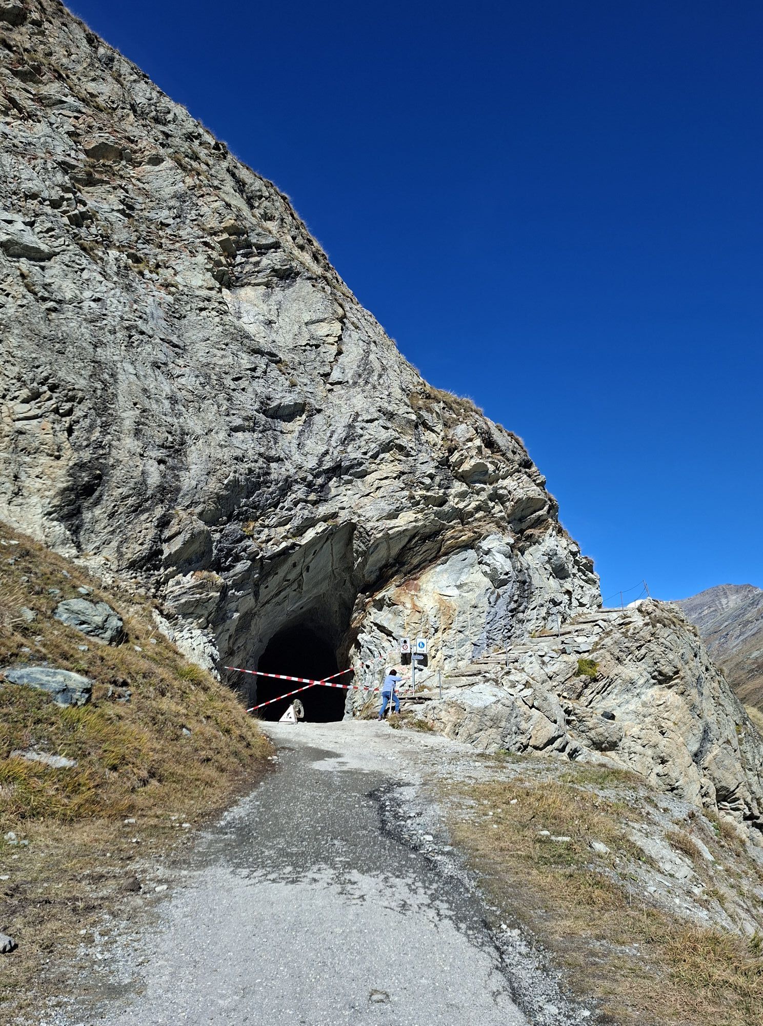
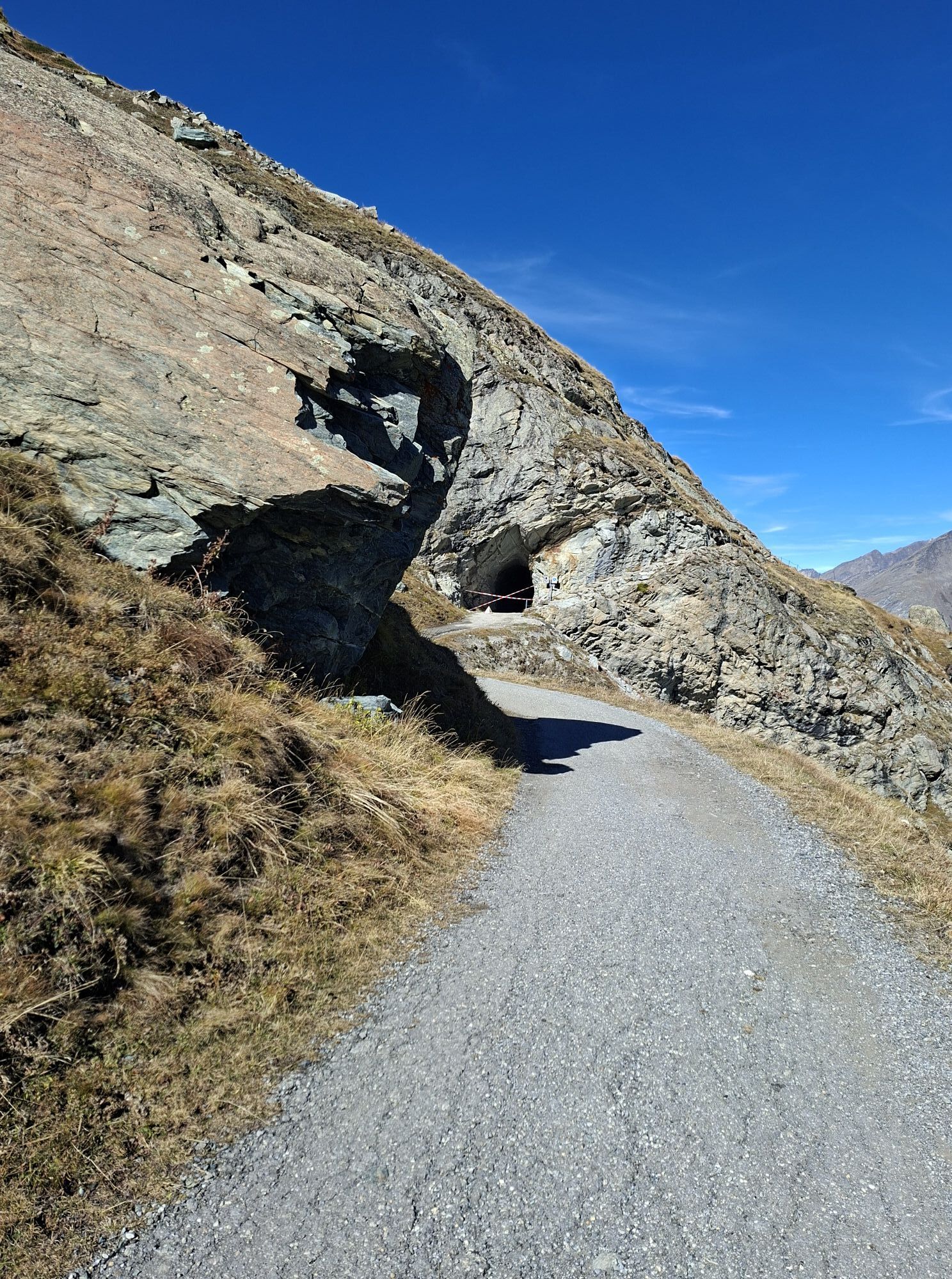
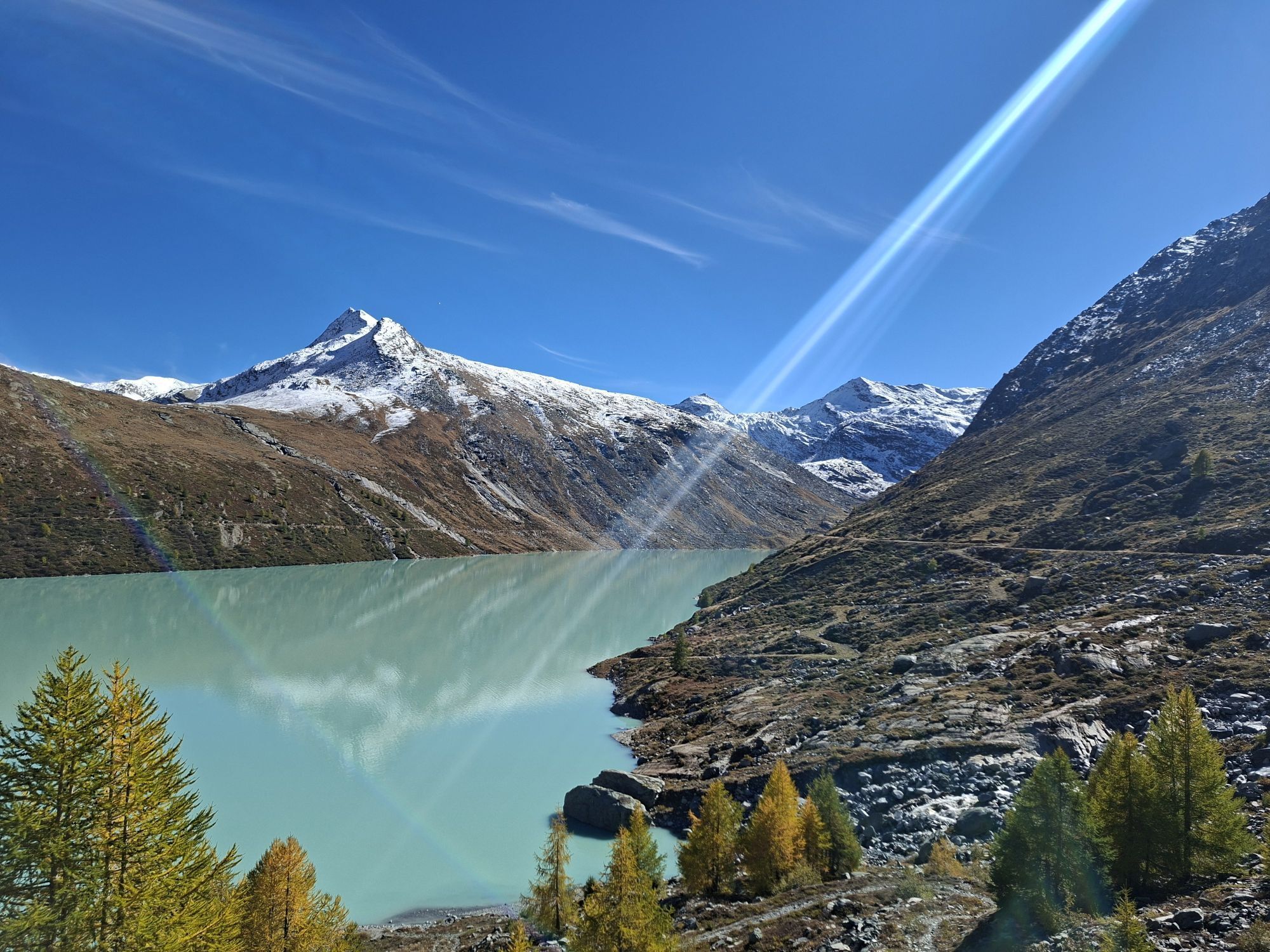
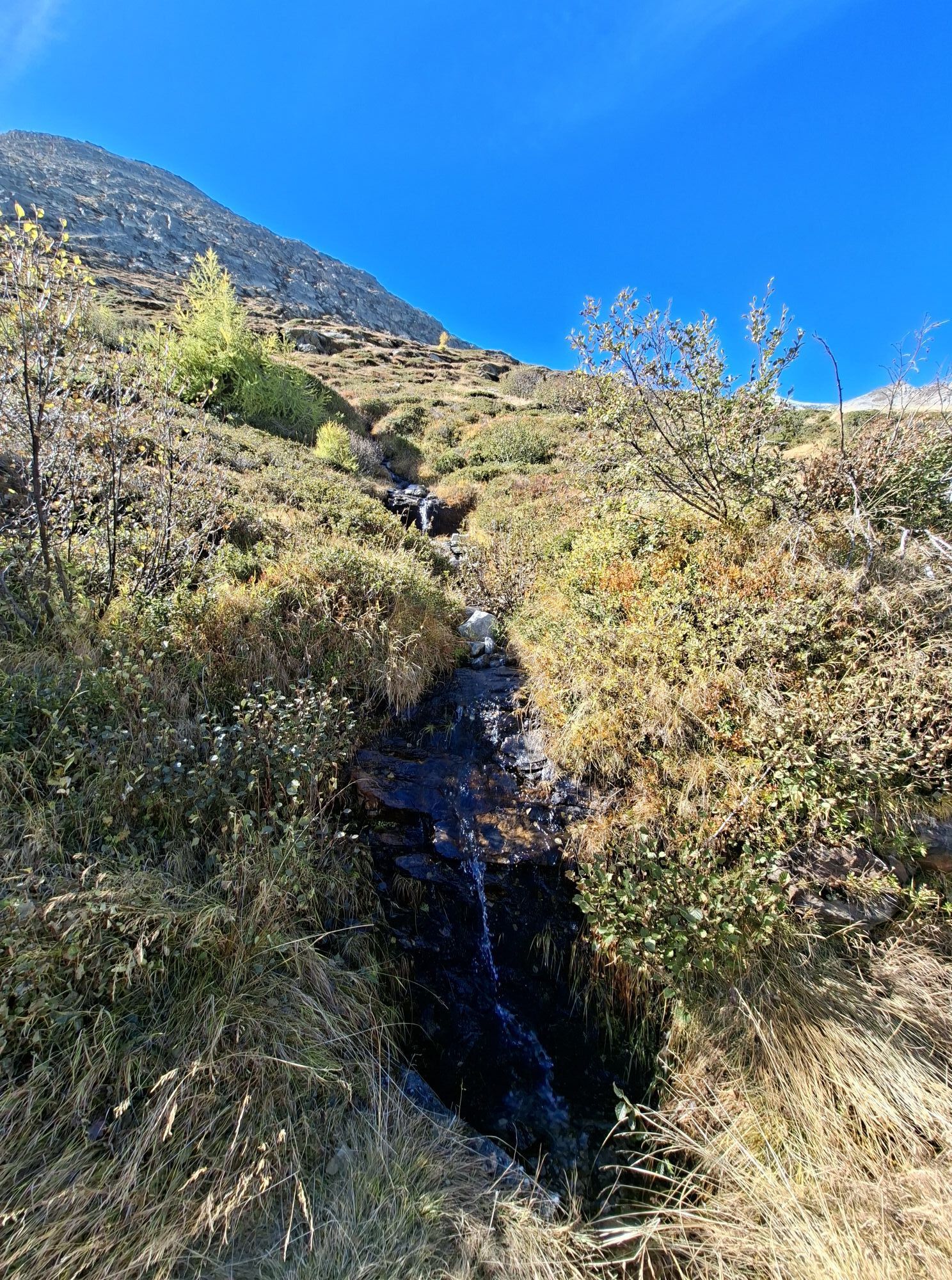
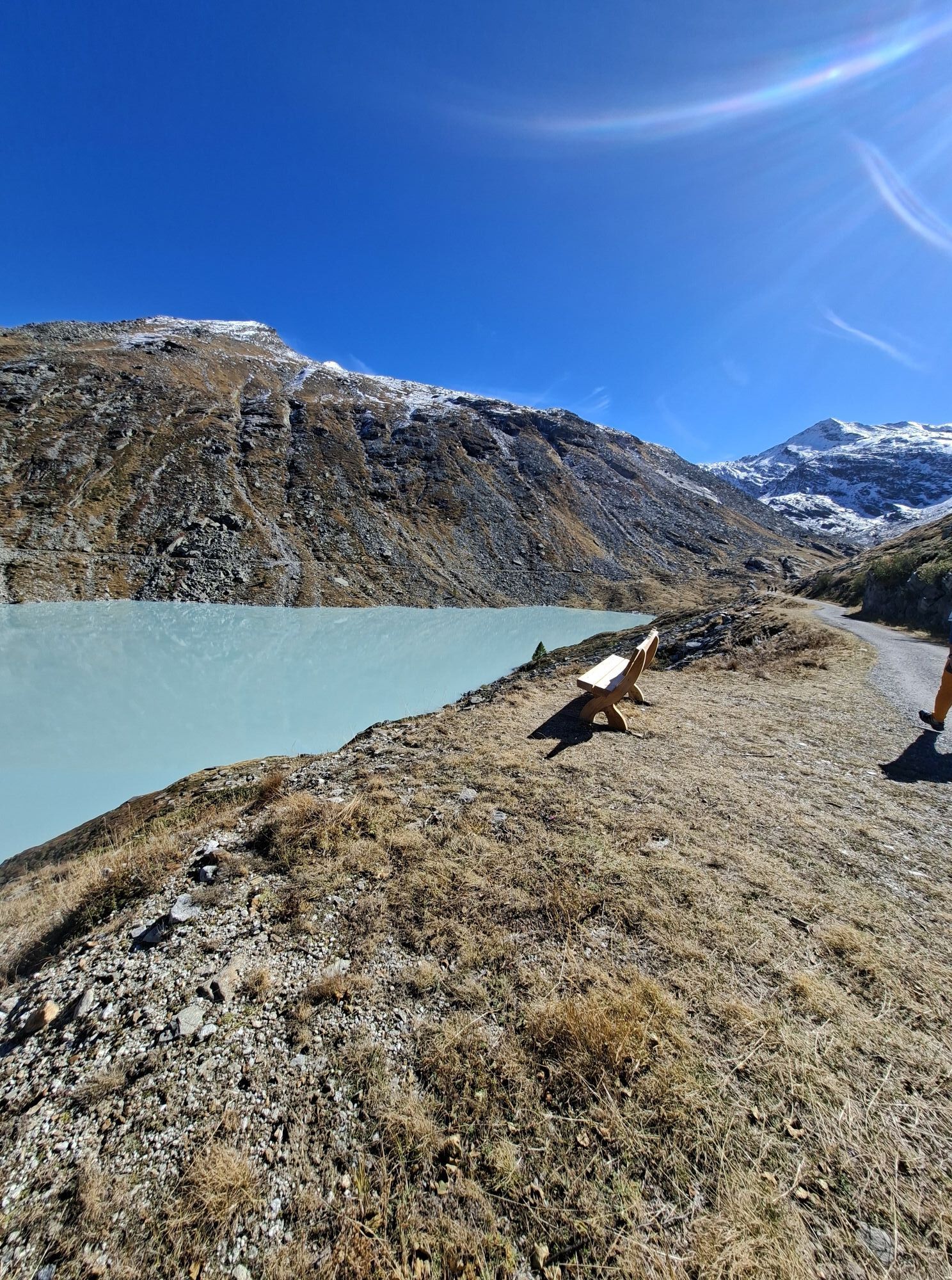
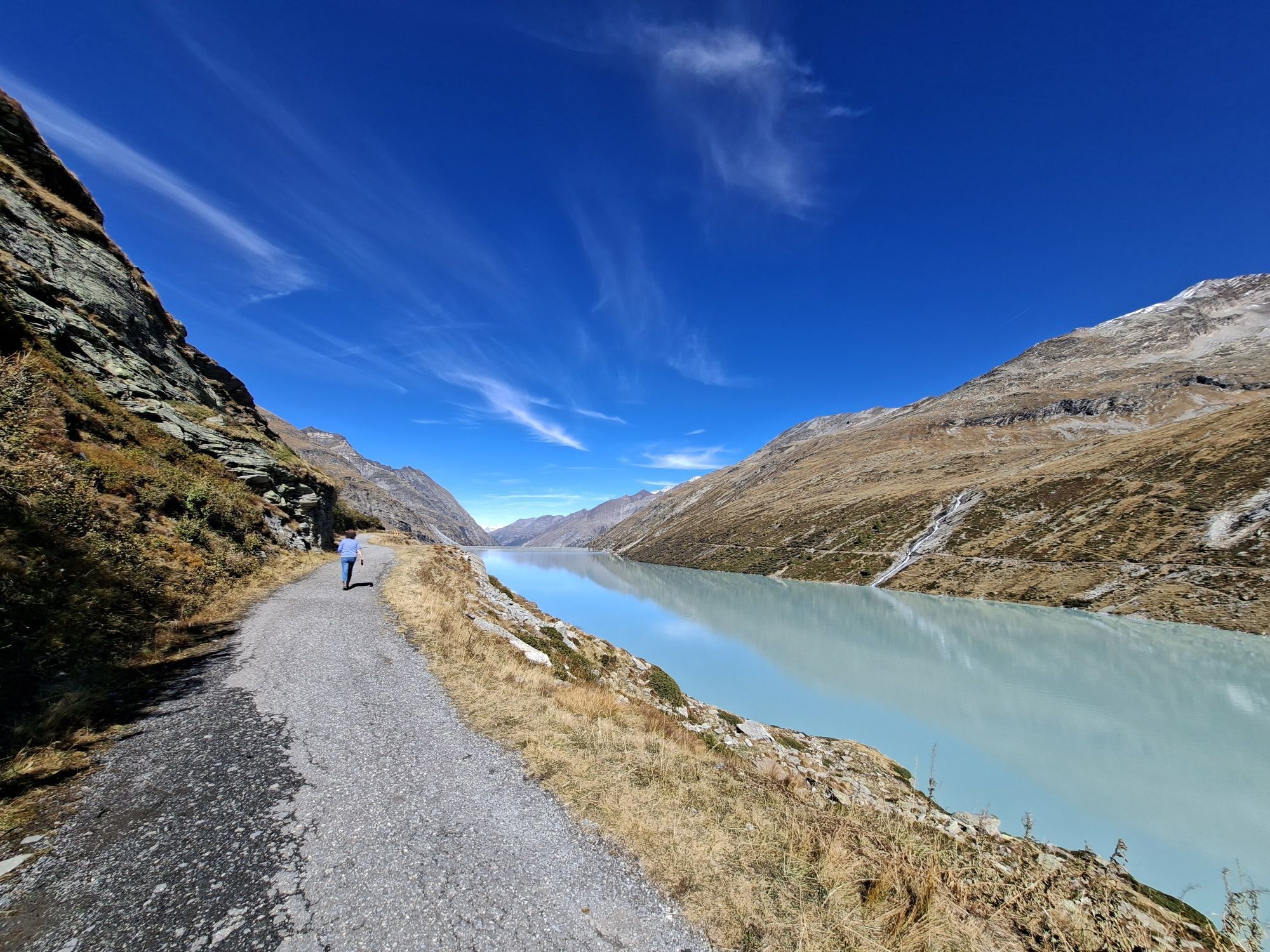
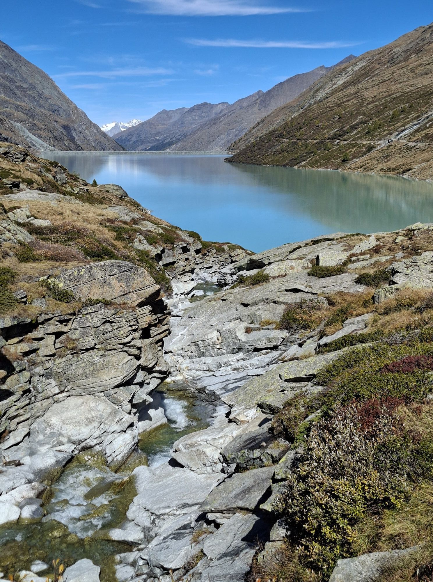
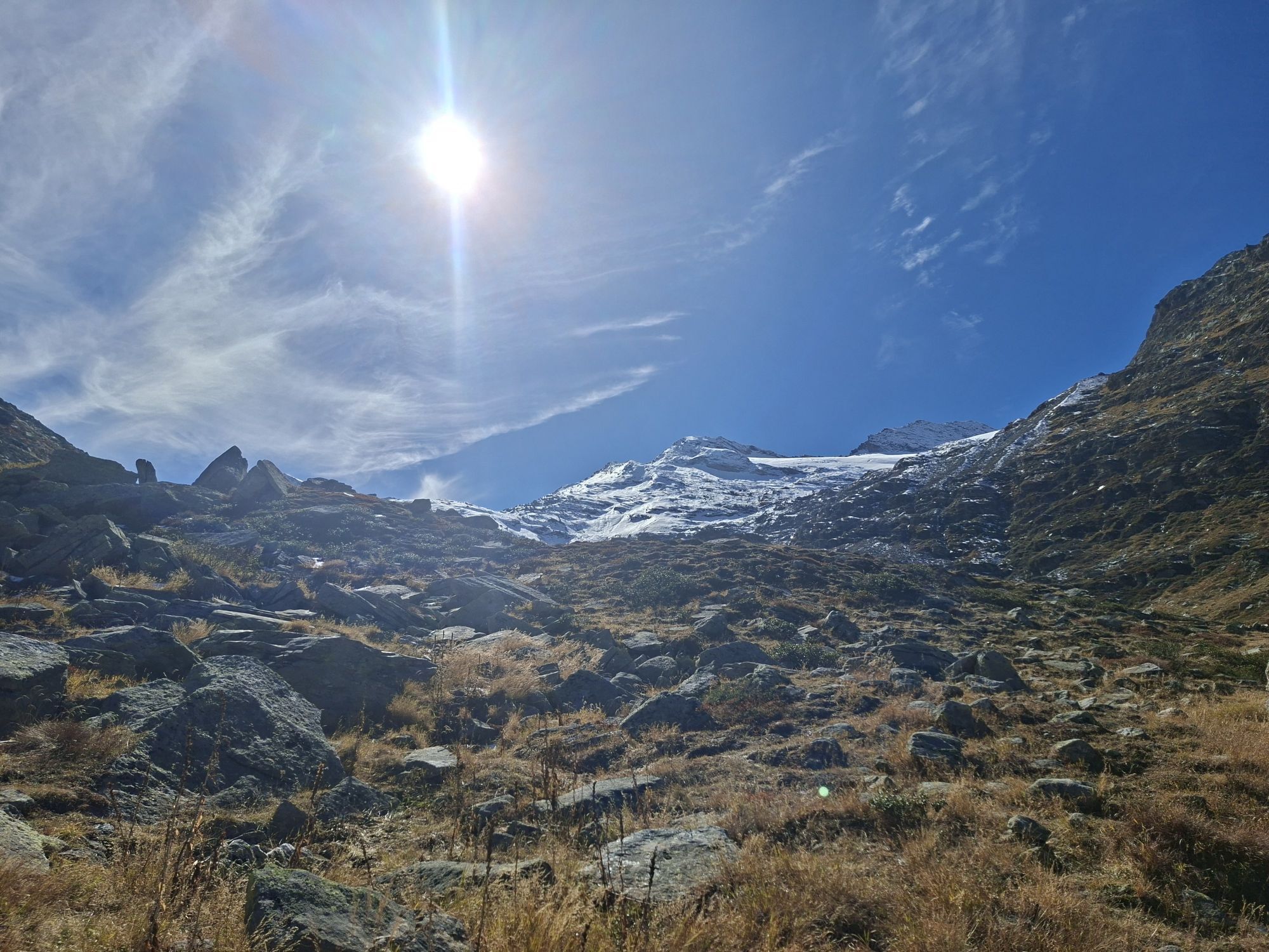
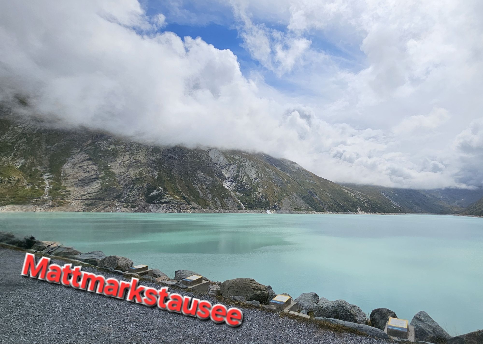
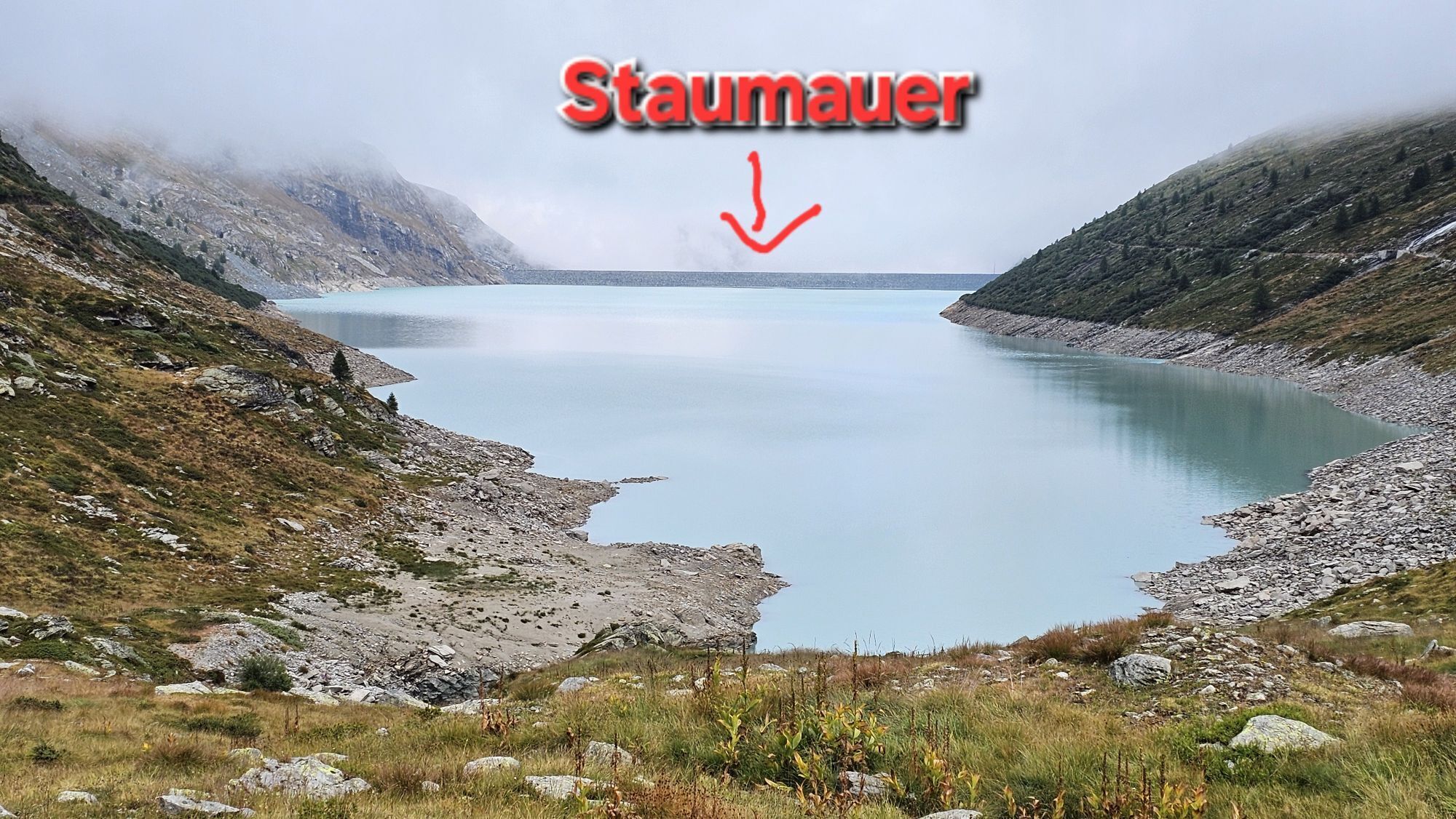
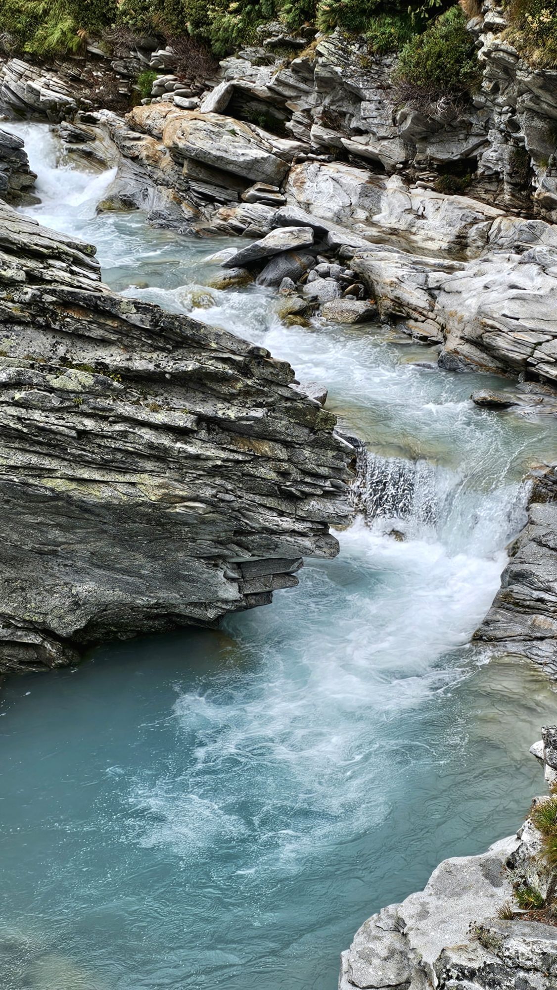
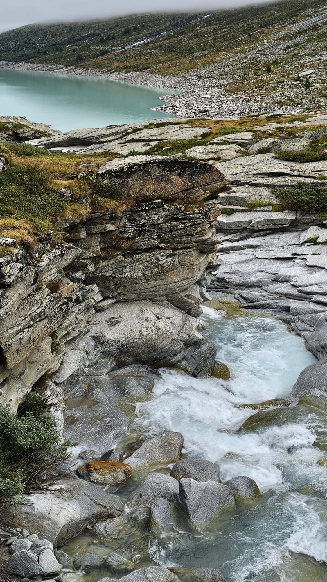
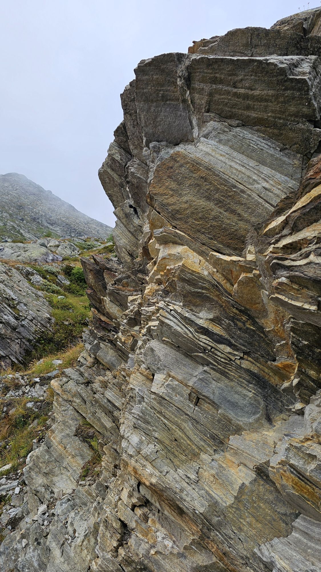
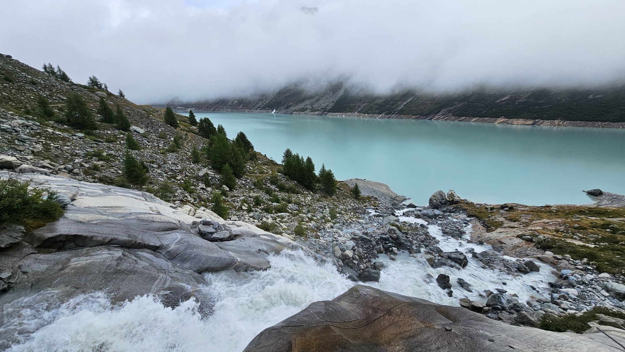
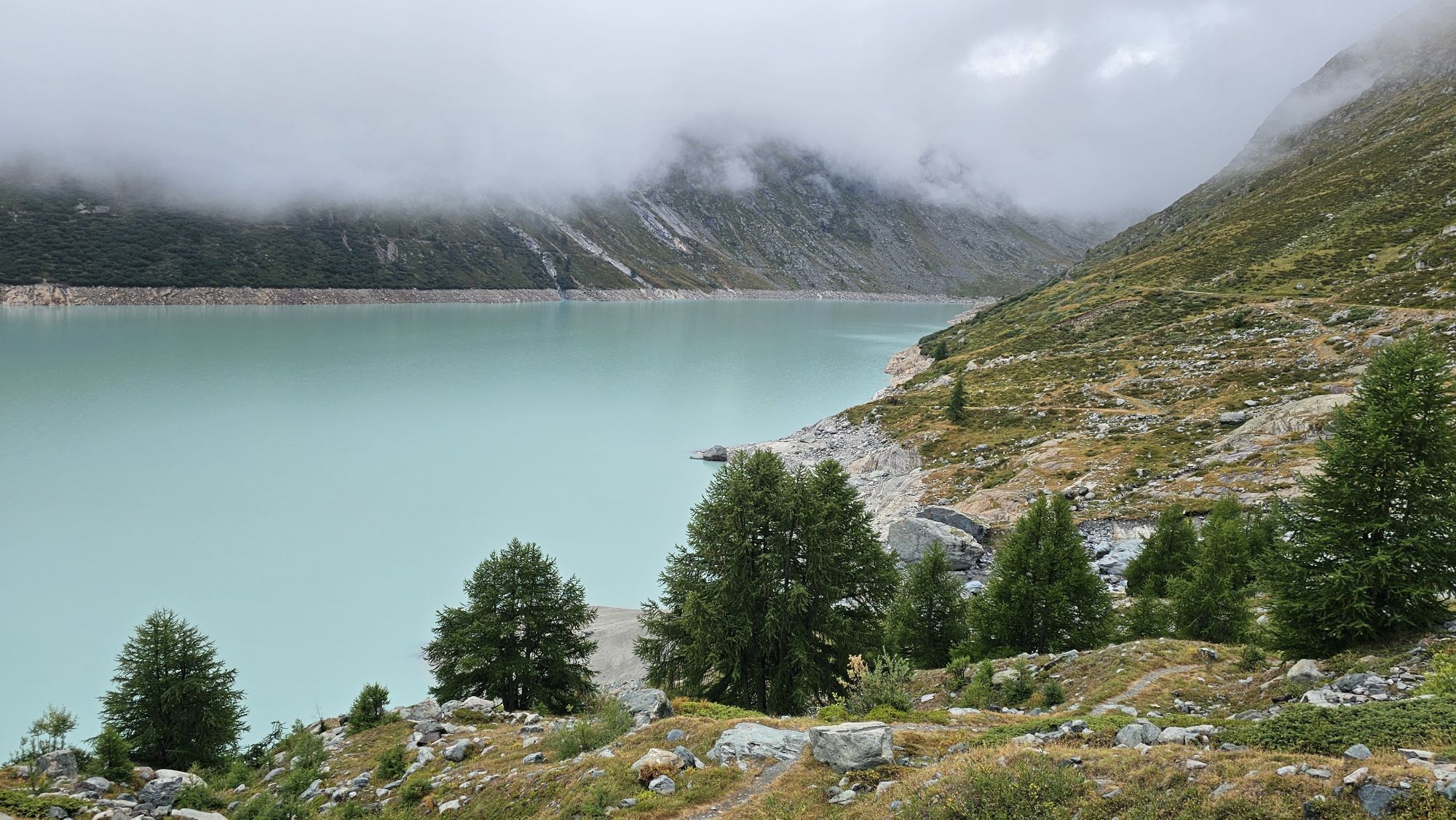
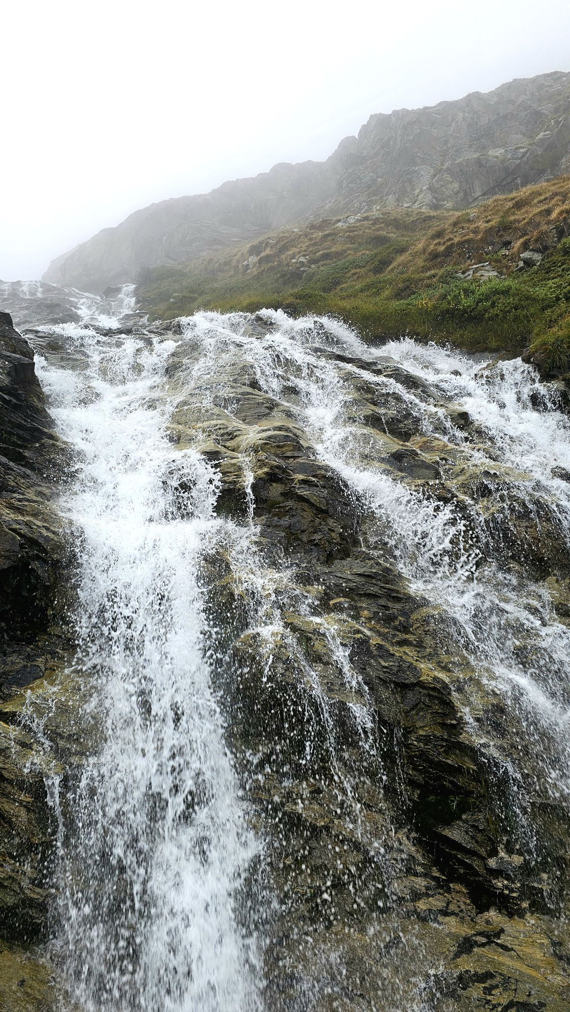
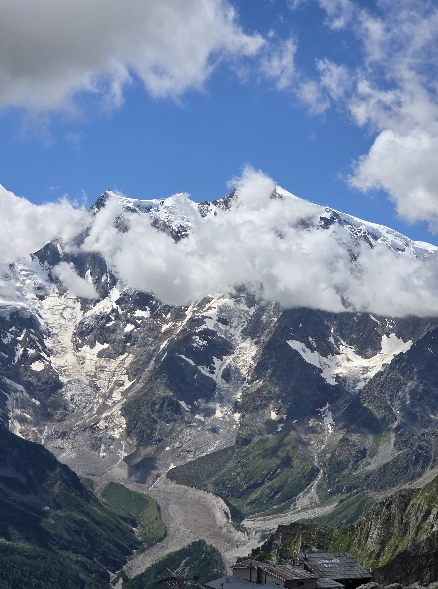
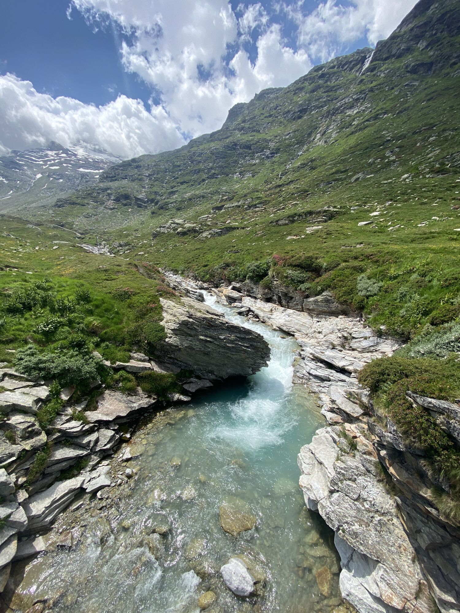
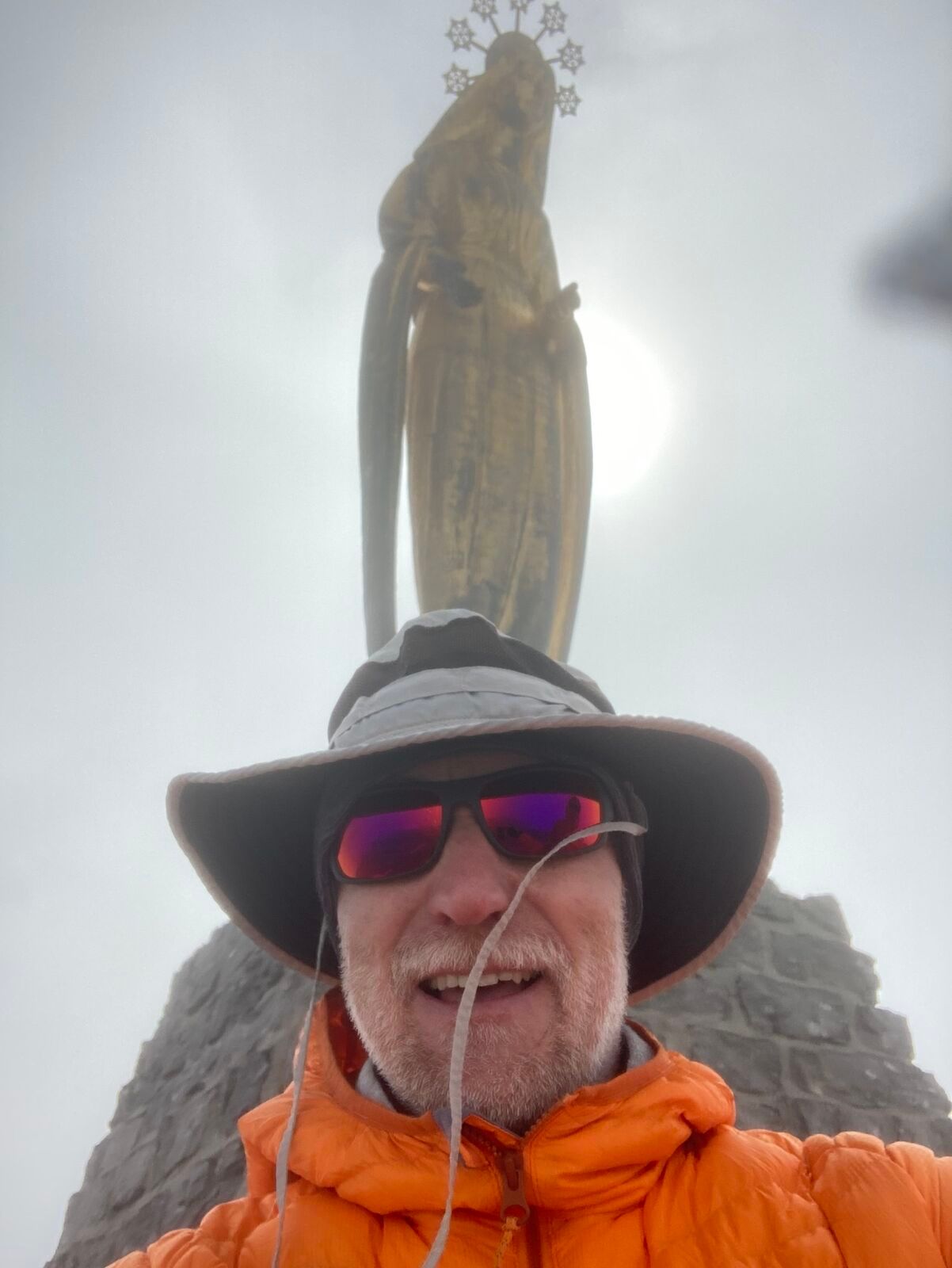
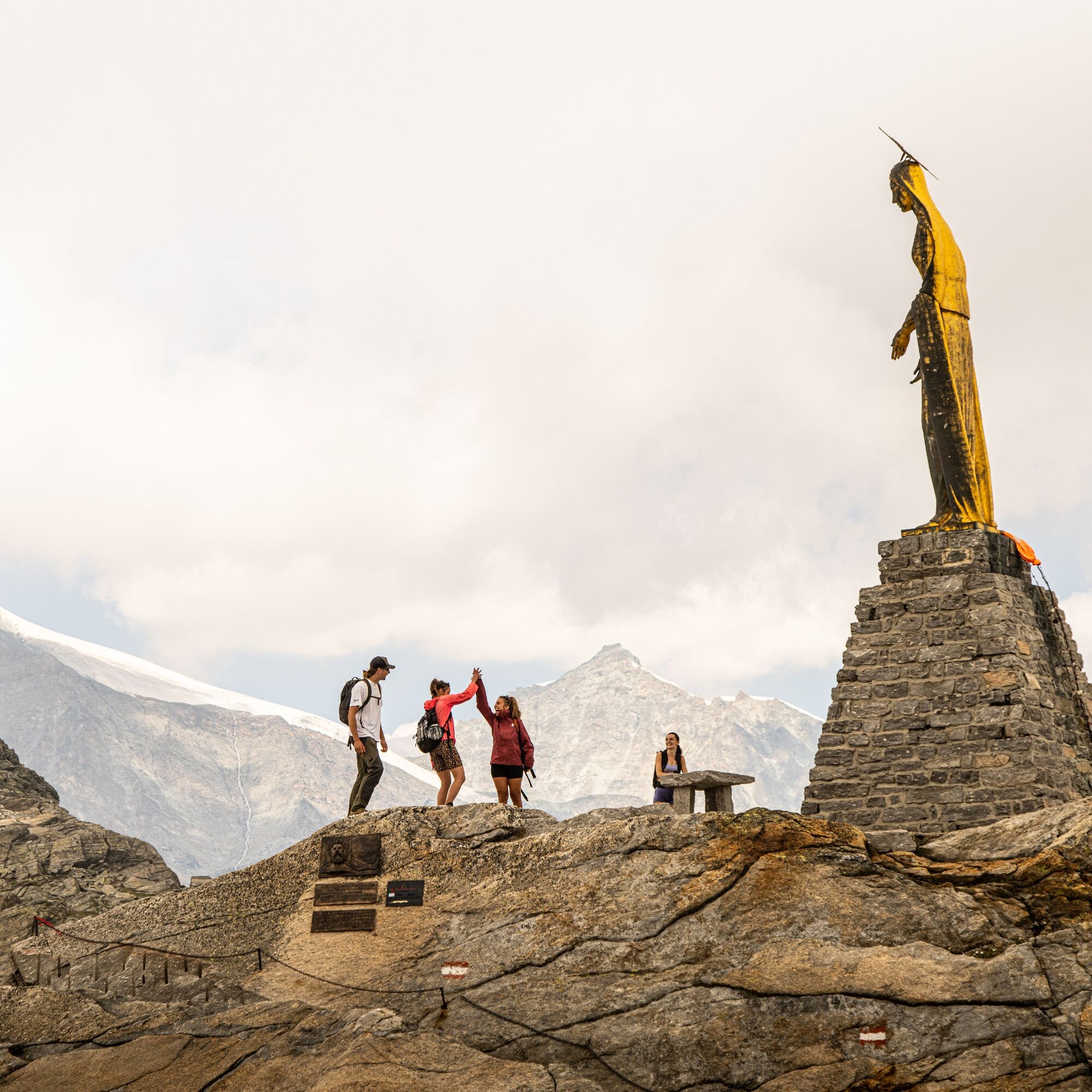
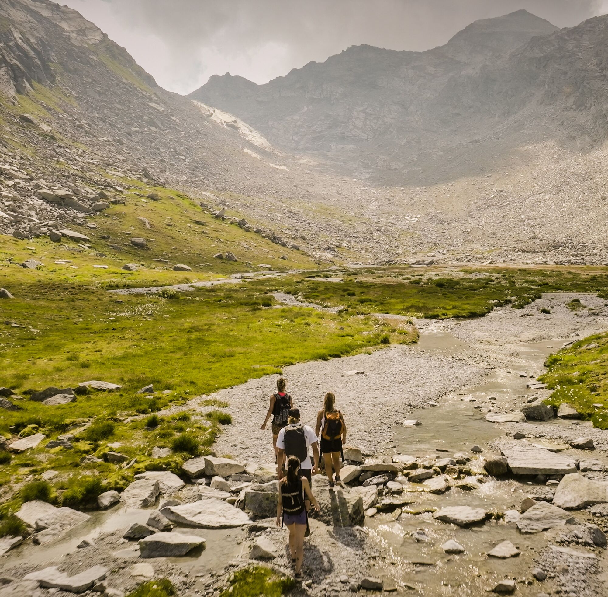
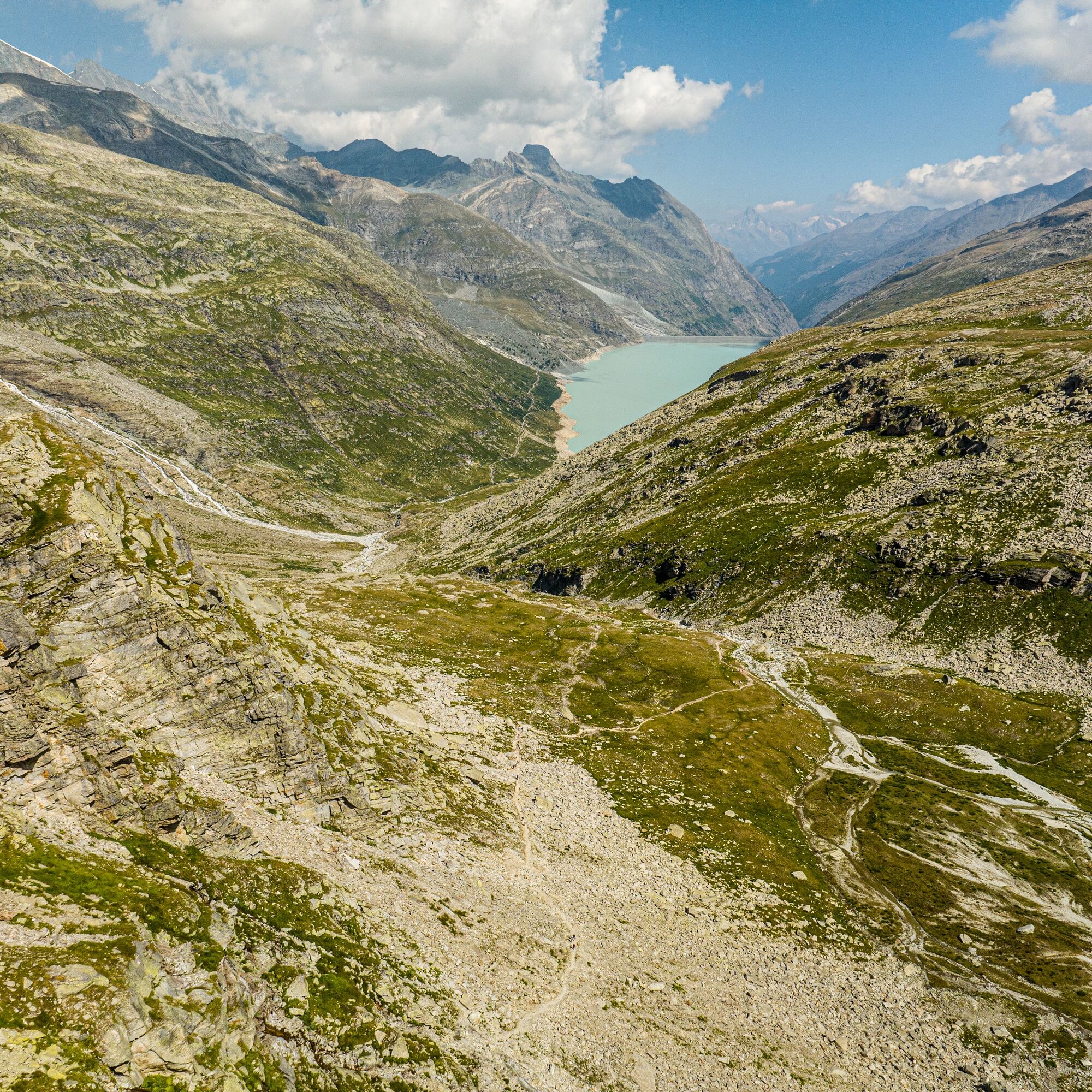
The path starts on the dam crest heading south and runs on the right side of the lake (in walking direction) to the Dischtelalp, the end of the reservoir. From Dischtelalp, the historic path leads up to the Monte Moro Pass. From afar, the gleam of the impressive, gilded Madonna statue on the pass is noticeable. After Tälliboden, the somewhat tricky path climbs the rocks via the restored original Walser path. After the rock steps and shortly before the pass summit, you reach a hollow often covered by firn snow. This is crossed on the right and leads into the rocky terrain. The pass, boasting a breathtaking view of the majestic east face of Monte Rosa, is reached. On a prominent rock sits the golden Maria statue.
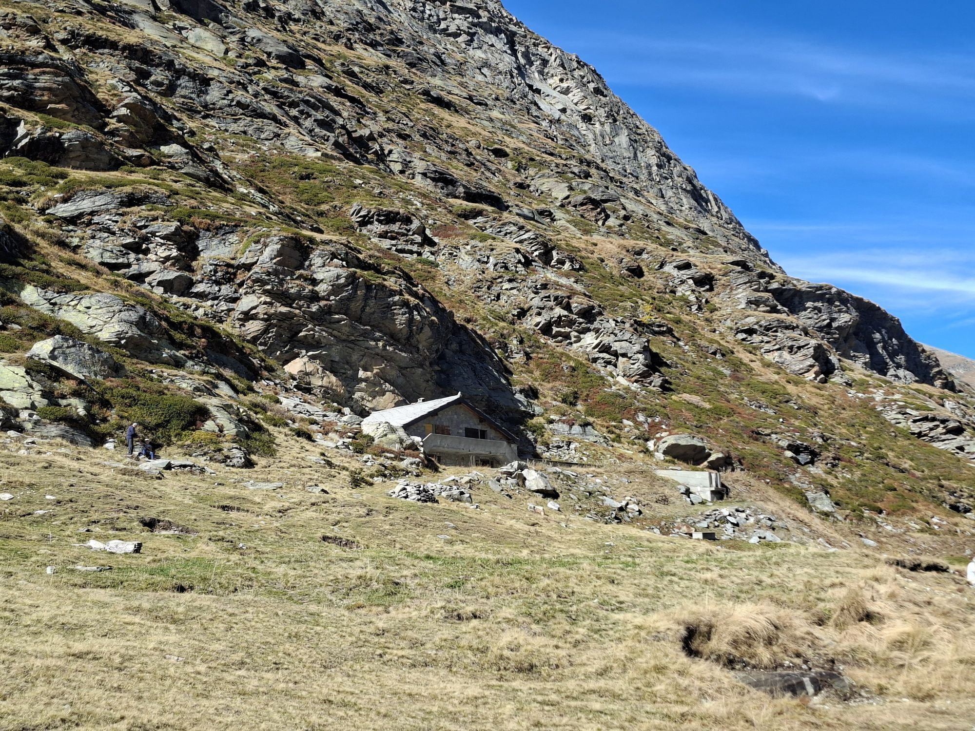
Slightly below the pass is the G. Oberto hut and the station of the cable cars to Macugnaga.
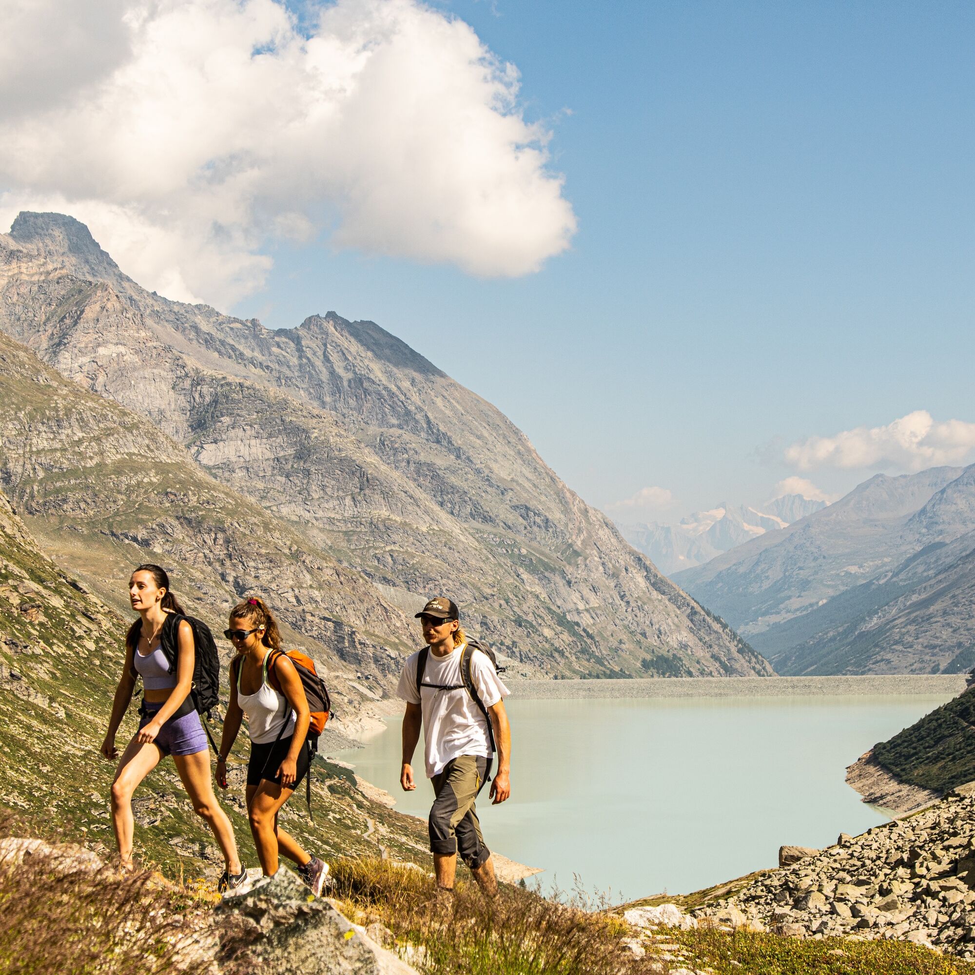
Mattmark - Tällibodu - Monte Moropass - G. Oberto-Hütte
Good footwear
Outdoor clothing: Always carry a waterproof jacket
Sun protection
Fluids and food supplies
Hiking poles (optional)
Navigation tool
First aid kit
Remember your passport or identity card.
Using the hiking trails and information on this website is at your own risk. Conditions on-site may cause route changes.
Use only marked hiking trails and follow all signposts and instructions – for your own safety, to protect livestock, and without disturbing wildlife.
Be considerate of other trail users and the landscape. Take your trash and others' trash with you.
Carry sun protection. UV rays at high altitudes can be very strong, even in cloudy weather.
Plan your hike carefully: take into account the required fitness of all participants, weather forecasts, and seasonal dependencies.
Weather conditions in the mountains can change very quickly and without warning. Proper clothing and sufficient provisions (food and drink) are very important. Return early if the weather is unstable.
Do not go on glaciers without a mountain guide.
Observe warning signals that indicate danger.
Inform third parties about your tour and, if possible, never go alone.
Pay attention to the opening hours of the mountain railways.
The Saas Valley is easy and convenient to reach by car from all directions, whether from Switzerland or abroad. From the north, you can reach us via Bern through the Lötschberg car shuttle. From the east, you come via the Furka Pass or the Furka car shuttle. From the south, we are accessible via the Simplon Pass or Simplon car shuttle, and from the west, you drive over Lausanne along the Rhone Valley to Visp and then towards Saas-Fee. From Visp, drive south towards Saas-Fee. At the "Killerhof" roundabout towards Stalden, take the second exit to Saas-Fee. Turn left in Saas-Grund after the church towards Saas-Almagell.
There is a parking lot directly at the dam.
T3
Saastal Tourismus AG
Obere Dorfstrasse 2
3906 Saas-Fee
Tel.: +41 (0)27 958 18 58
E-mail:
www.saas-fee.ch
Restaurant Mattmark
3905 Saas-Almagell
Tel.: +41 27 957 29 06
E-mail:
www.restaurant-mattmark.ch
Bus terminal Saas-Fee
3906 Saas-Fee
Tel.: +41 27 58 454 26 16
E-mail:
www.postauto.ch/wallis
Macugnaga
Piazza Municipio
128876 Macugnaga (VB) Italy
Tel.: +39 (0)324 65 050
E-mail:
www.macugnaga.it
Timetable Funivie Monte Moro:
https://macugnaga-monterosa.it/contenuti/307257/stato-comprensori
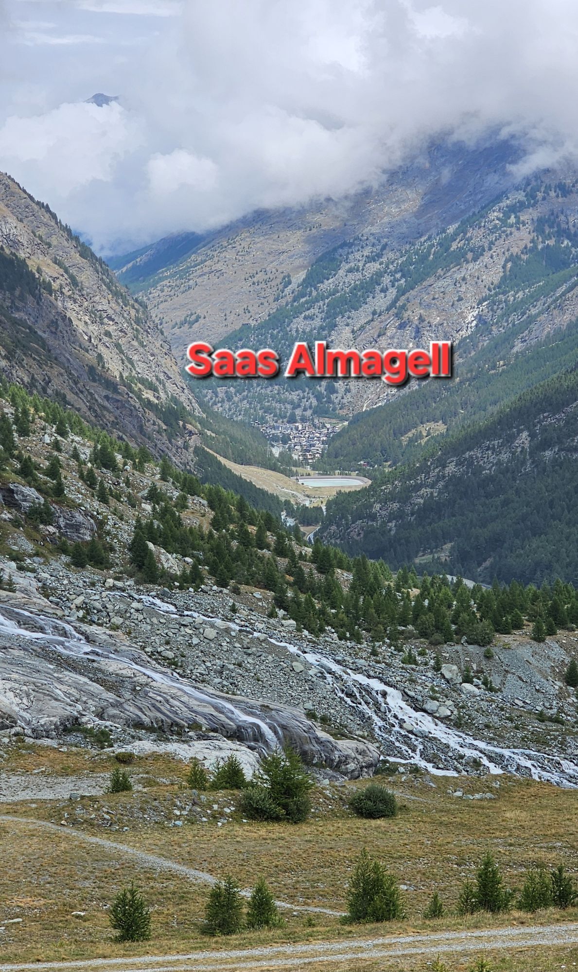
Take the gondola down to Macugnaga and discover the Italian Walser village.
Priljubljeni izleti v okolici
- 4.9
Allalinhorn vom Mittelallalin über Normalweg
srednjaVisokogorska tura 6.15 km - 3.6
Höhenweg Kreuzboden - Almagelleralp - Saas-Almagell
Pohodništvo 9.74 km - 3.5
Waldweg Saas-Fee - Saas-Almagell
Pohodništvo 2.83 km - 5.0
Weissmies Südgrat von Saas Almagell
srednjaVisokogorska tura 20.5 km - 5.0
Marmot mountain path Spielboden
srednjaPohodništvo 3.89 km - 5.0
Via ferrata Jägihorn
težkoVia ferrata 6.14 km - 5.0
Monte Rosa - Signalkuppe
srednjaVisokogorska tura 12.7 km - 3.5
Saas-Fee - Gemsweg - Hannig - Plattjen
Pohodništvo 6.89 km - 5.0
Ibex path
srednjaPohodništvo 9.02 km - 3.0
Mattmark - Monte Moro - Macugnaga
Pohodništvo 10.6 km
Pohodništvo in sledenje


Ne zamudite ponudb in navdiha za naslednje počitnice
Vaš e-poštni naslov je bil dodan na poštni seznam.