






Heidbodme viewpoint
Stopnja težavnosti: T2
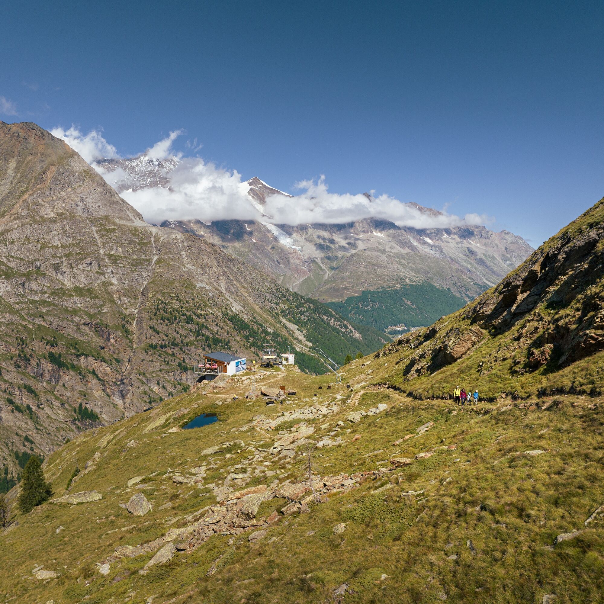
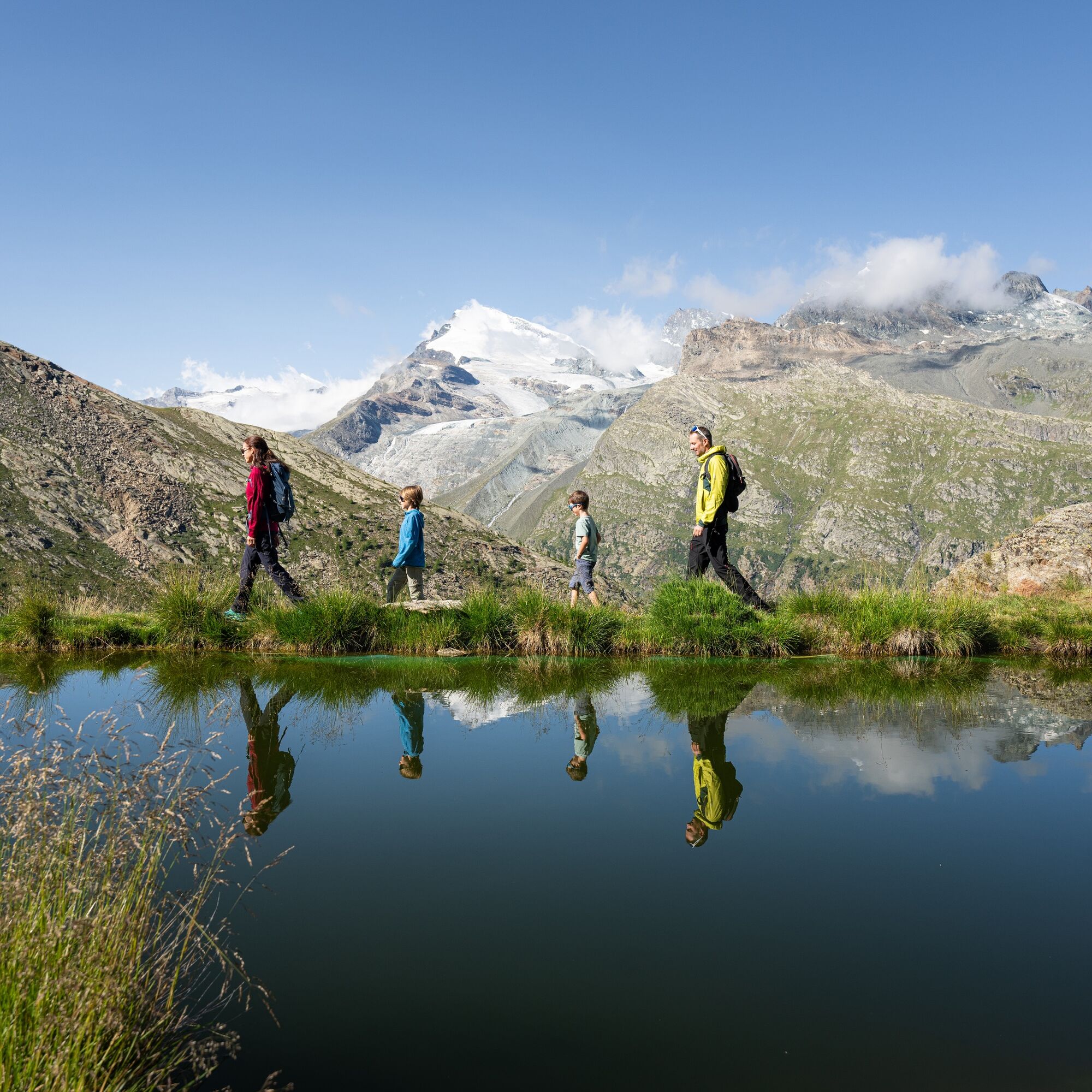
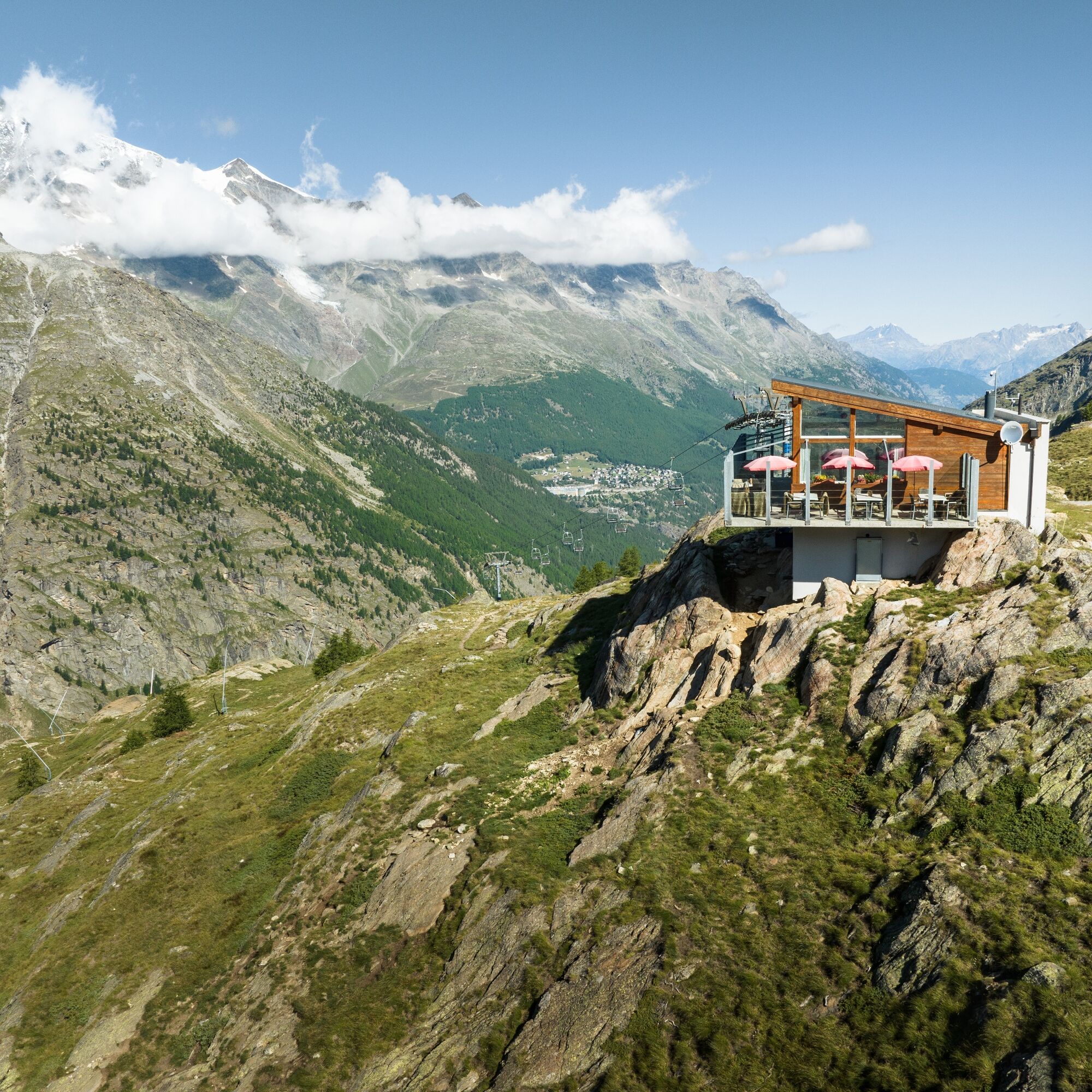
The viewpoint above the Heidbodme mountain station offers an even more impressive view of the Saas Valley with its 18 peaks above 4000 meters than the mountain station itself. The path initially leads...
The viewpoint above the Heidbodme mountain station offers an even more impressive view of the Saas Valley with its 18 peaks above 4000 meters than the mountain station itself. The path initially leads westwards on the new high-altitude trail to the Antrona Pass and then branches off northwest after the "Wanne" area. The path still briefly crosses some small rock bands to the viewpoint. Once there, you can clearly see the old trade route from Domodossola over the Antrona Pass into the Saas Valley. This route was used long before the Simplon Pass as a trade route and led via the Gspon high trail to Stalden or Visp.

Heidbodme - viewpoint
Da
Good footwear
Outdoor clothing: always carry a waterproof jacket
Sun protection
Fluids and provisions
Trekking poles (optional)
Navigation tool
First aid kit
Using the hiking trails and information on this website is at your own risk. Conditions on site may cause changes in the route.
Use only marked hiking trails and follow all signs and instructions – for your own safety, to protect livestock, and not to disturb wildlife.
Be considerate towards other trail users and the landscape. Take your trash and others' trash with you.
Carry sun protection. UV rays at altitude can be very strong, even in overcast weather.
Plan your hike carefully: consider the necessary fitness level of all participants, weather forecasts, and seasonality.
Weather conditions in the mountains can change very quickly and without warning. Appropriate clothing and sufficient provisions (food and drink) are very important. Turn back early in unstable weather.
Do not venture onto glaciers without a mountain guide.
Observe warning signals indicating danger.
Inform third parties about your route and, if possible, never go alone.
Pay attention to the opening times of the mountain lifts.
The Saas Valley is easily and conveniently accessible by car from all directions, whether from Switzerland or abroad. From the north, you reach us via Bern through the Lötschberg car train. From the east, you come via the Furka Pass or Furka car train. From the south, we are accessible via Simplon Pass or Simplon car train, and from the west you drive via Lausanne along the Rhone Valley to Visp and from there towards Saas-Fee. From Visp, drive south towards Saas-Fee. At the "Killerhof" roundabout towards Stalden, take the second exit to Saas-Fee. In Saas-Grund, turn left after the church towards Saas-Almagell.
Take the SBB to Visp and change there to the post bus towards Saas-Fee (bus 511). In Saas-Grund at the Post stop, change to the post bus towards Saas-Almagell (bus 513). Get off at the Sportplatz stop and walk to the train.
Large parking lot after the village square.
T2
Saastal Tourism AG
Obere Dorfstrasse 2
CH- 3906 Saas-Fee
Tel.: +41 (0)27 958 18 58
E-mail:
www.saas-fee.ch
Saastal Tourism AG
Information office Saas-Almagell
3905 Saas-Almagell
Tel. +41 (0)27 958 18 60
Saastal Mountain Railways AG
Panorama street 5
3906 Saas-Fee
Tel. +41 (0)27 958 11 00
E-mail:
www.saas-fee.ch/bergbahnen
You should plan enough time to enjoy the view.
Pridobite vpogled
Vedno v živo na mestu z več kot 9.500 spletnimi kamerami. bergfex Kot uporabnik Pro si lahko zdaj ogledate ustrezne spletne kamere za številne izlete v aplikaciji izleti iz. Tako si lahko neposredno ogledate trenutne razmere.
Priljubljeni izleti v okolici
-
4.9
Allalinhorn vom Mittelallalin über Normalweg
srednjaVisokogorska tura 6.15 km -
3.3
Europaweg Grächen - Europahütte - Zermatt
težkoPohodništvo 39.9 km -
3.6
Höhenweg Kreuzboden - Almagelleralp - Saas-Almagell
Pohodništvo 9.74 km -
3.5
Waldweg Saas-Fee - Saas-Almagell
Pohodništvo 2.83 km -
3.8
Höhenweg Saas-Fee - Grächen
Pohodništvo 12.0 km -
5.0
Weissmies Südgrat von Saas Almagell
srednjaVisokogorska tura 20.5 km -
5.0
Marmot mountain path Spielboden
srednjaPohodništvo 3.89 km -
5.0
Via ferrata Jägihorn
težkoVia ferrata 6.14 km -
4.6
Gspon high-altitude route
srednjaPohodništvo 13.9 km -
5.0
Ibex path
srednjaPohodništvo 9.02 km
Pohodništvo in sledenje


Ne zamudite ponudb in navdiha za naslednje počitnice
Vaš e-poštni naslov je bil dodan na poštni seznam.





