







Glacier Trail (Trailrunning)
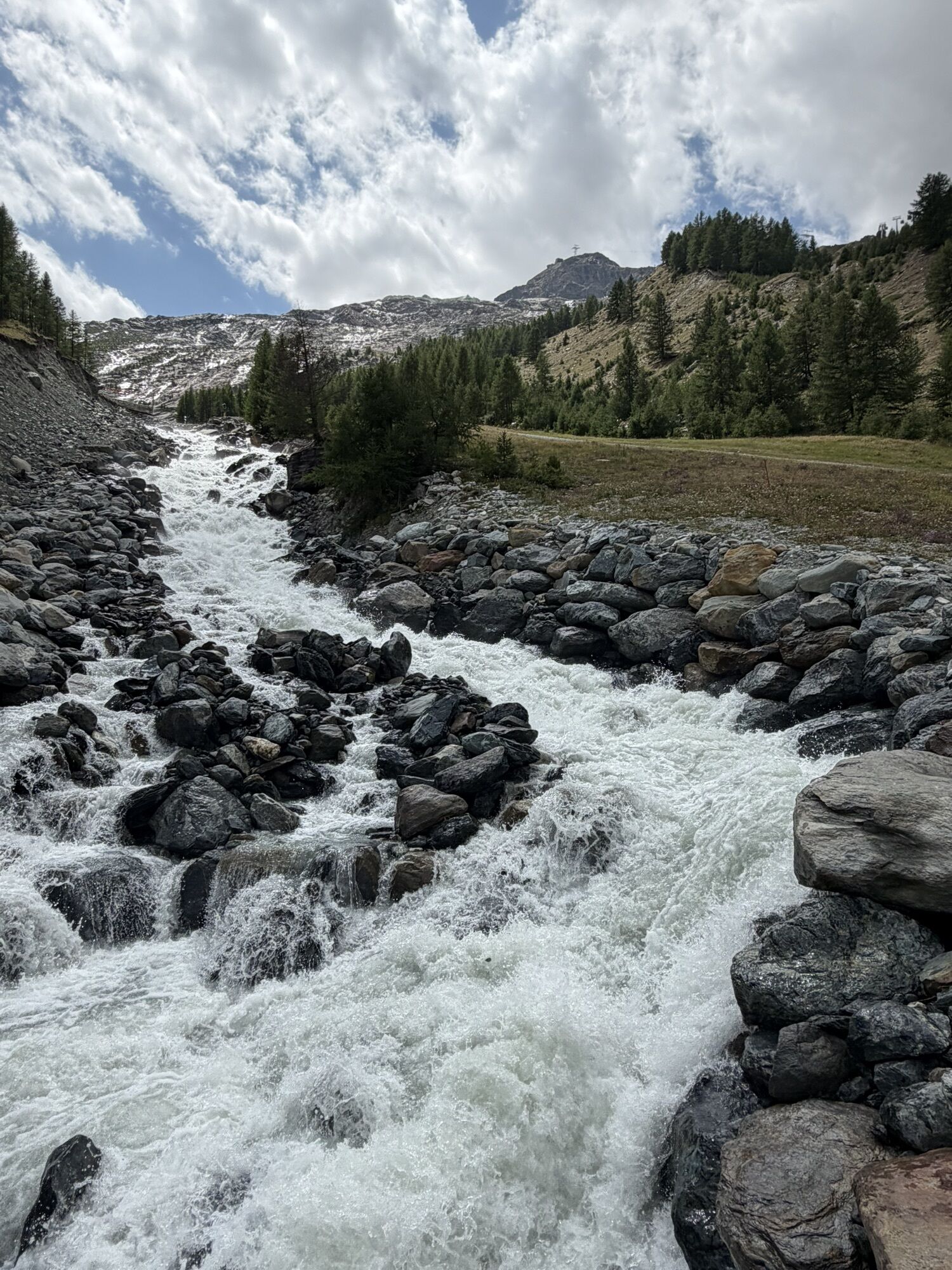
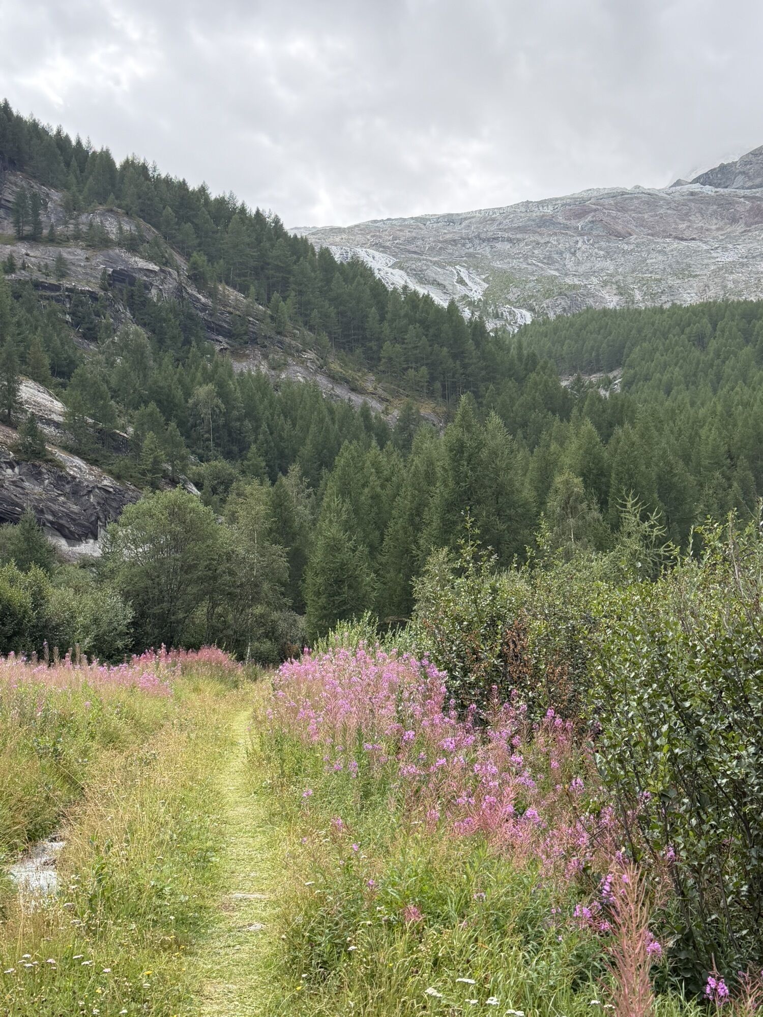
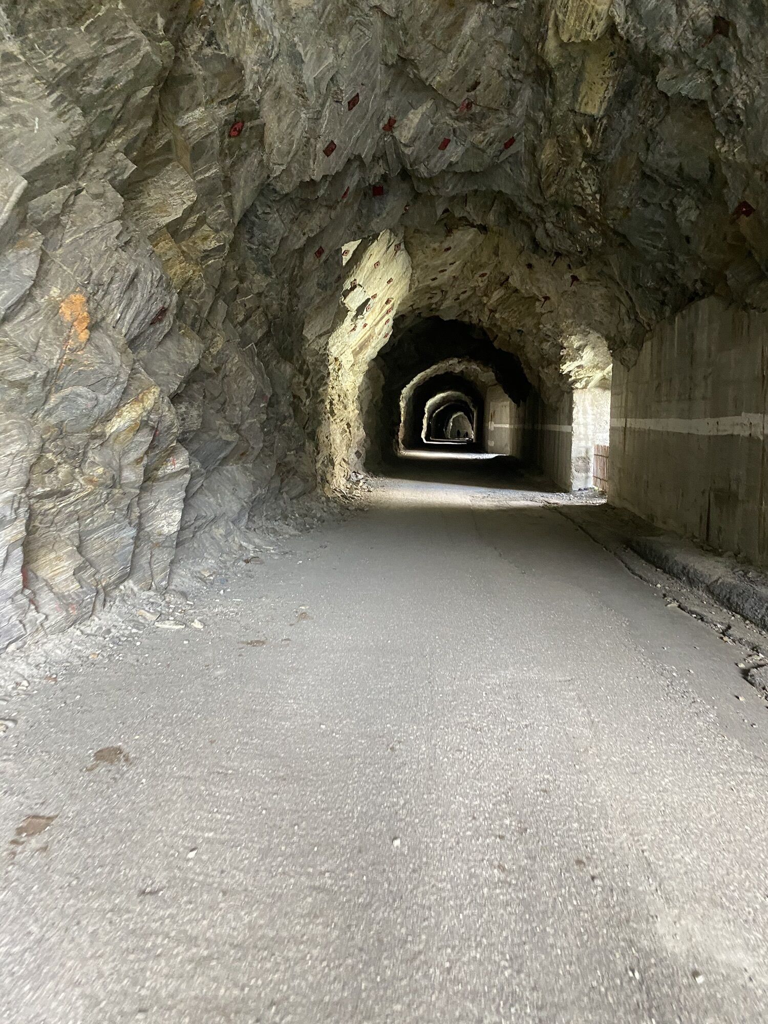
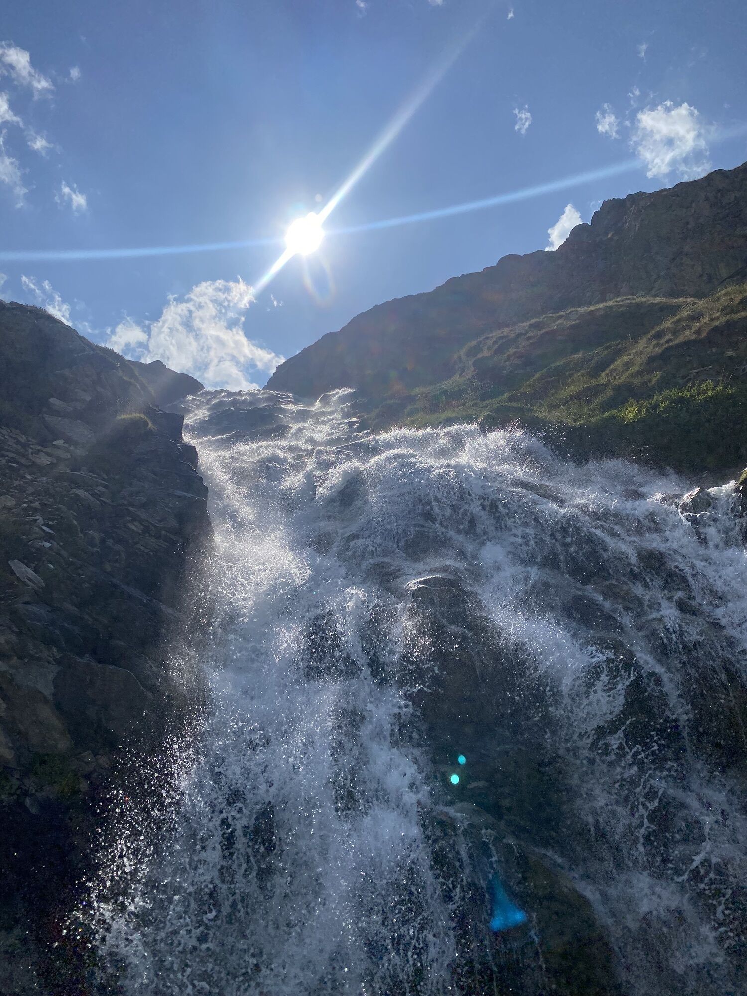
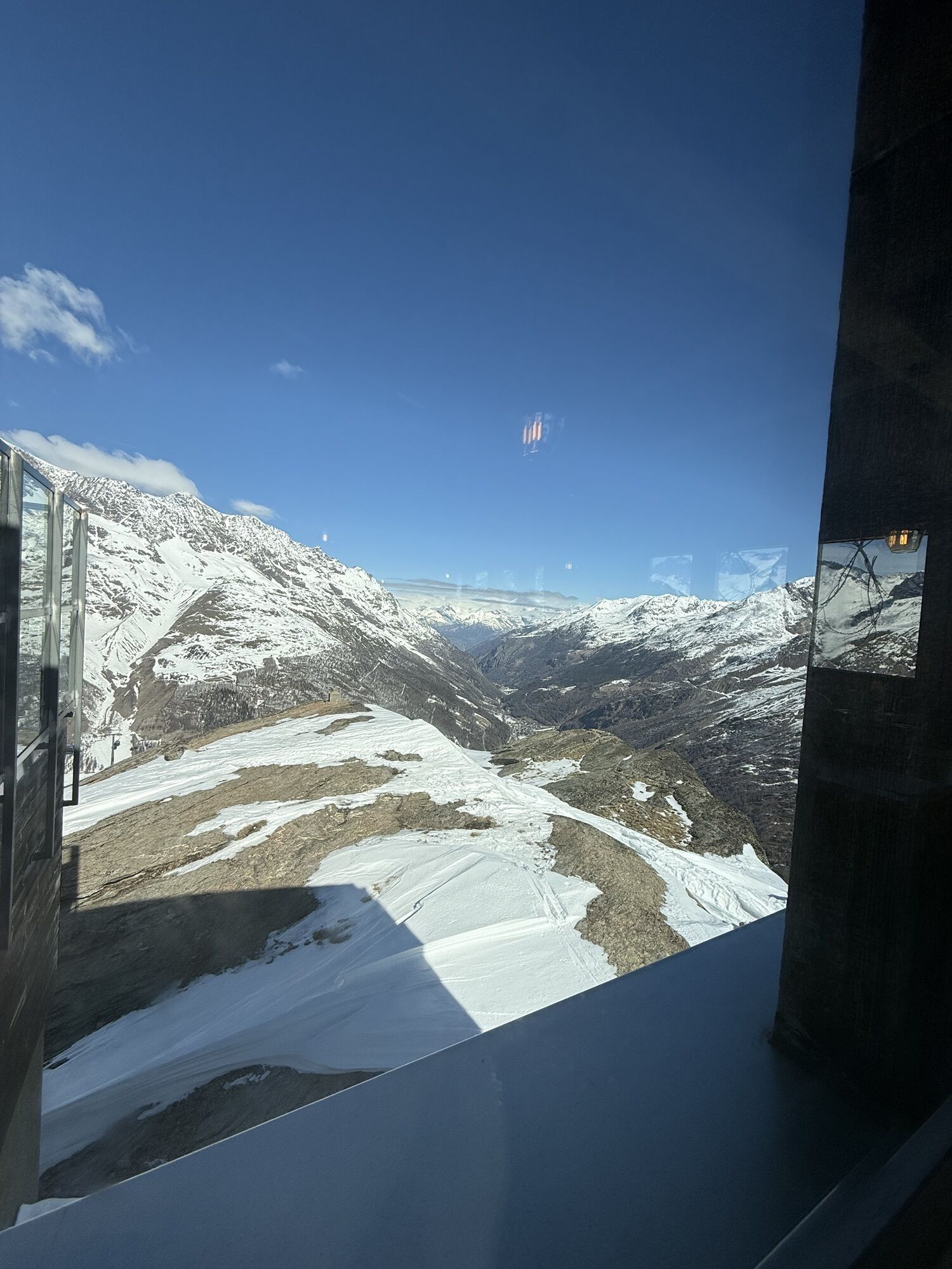
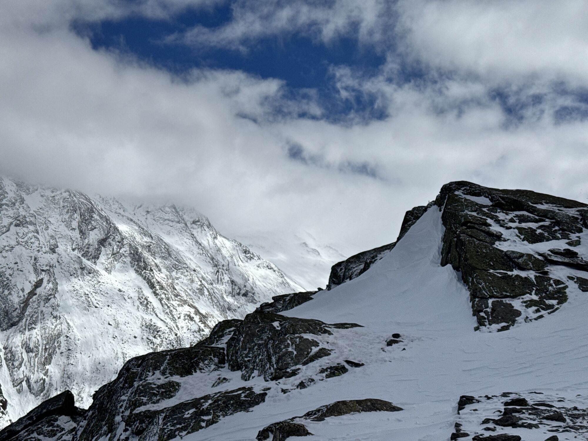
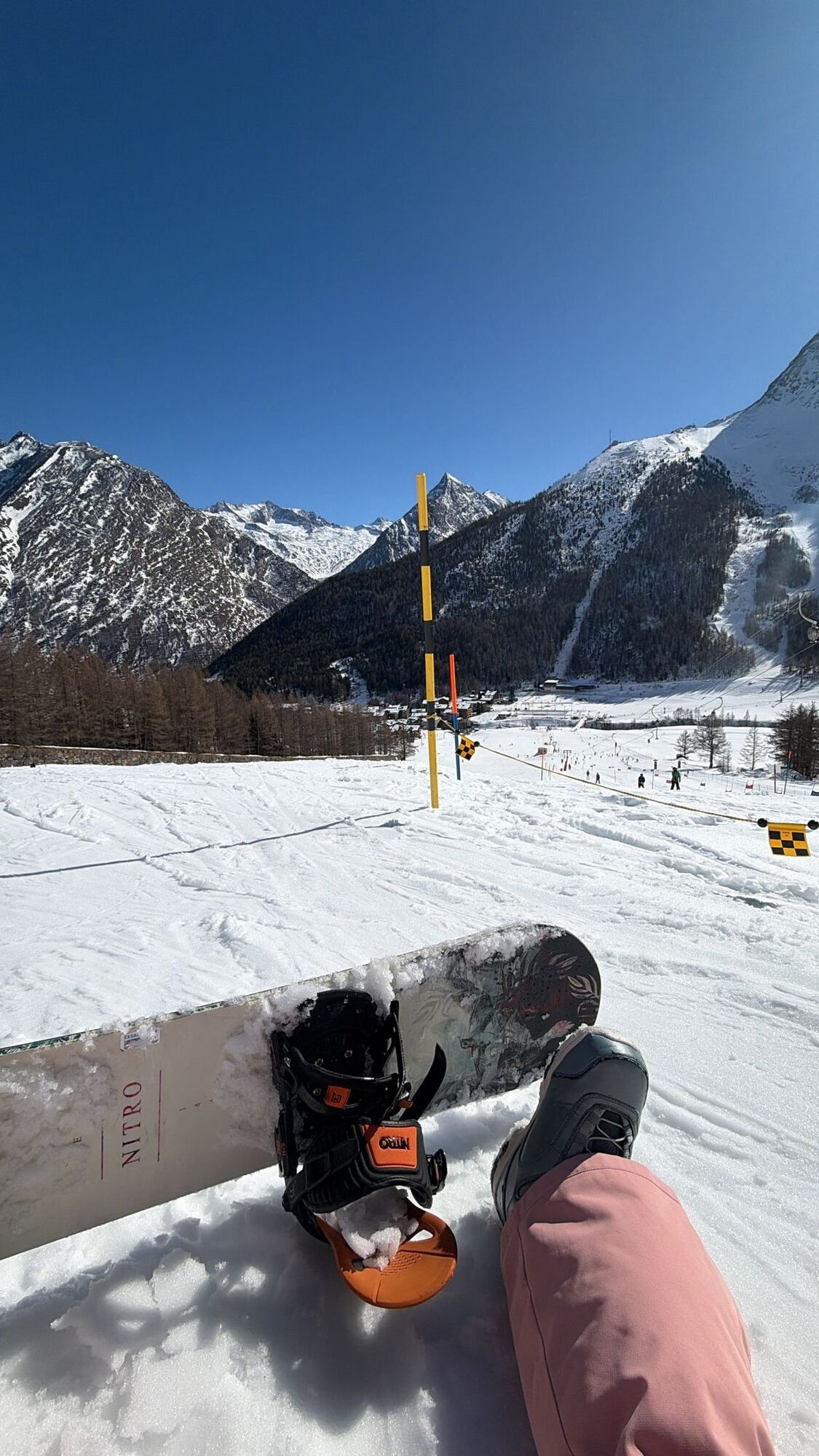
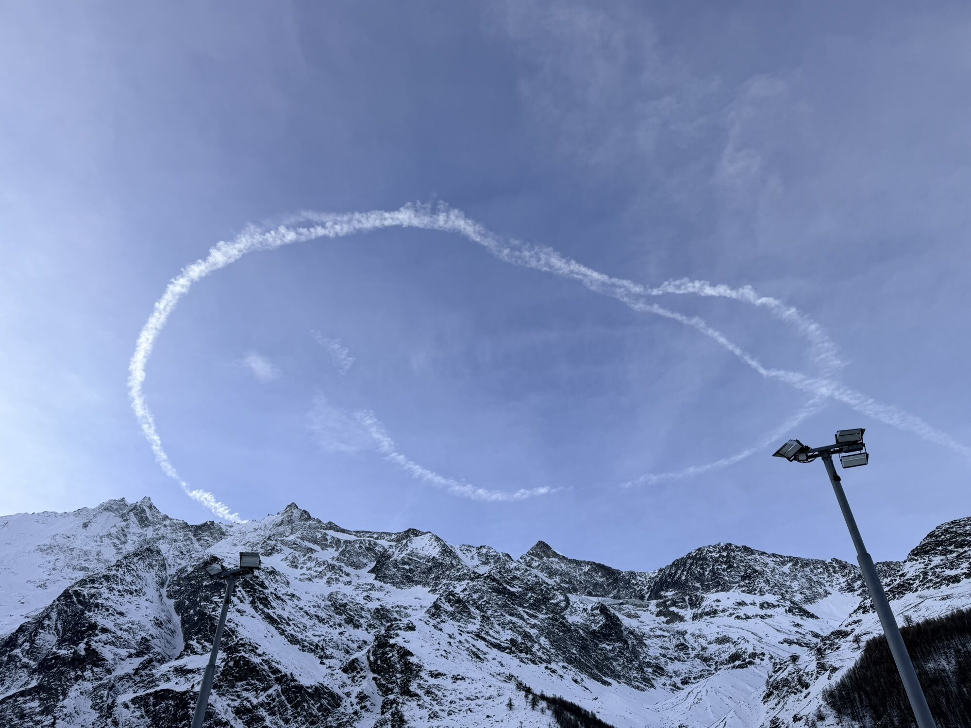
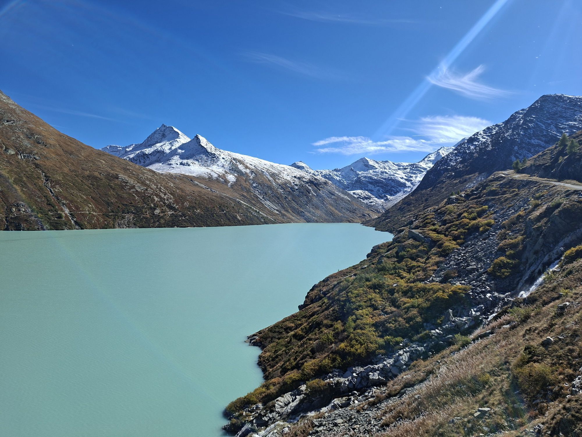
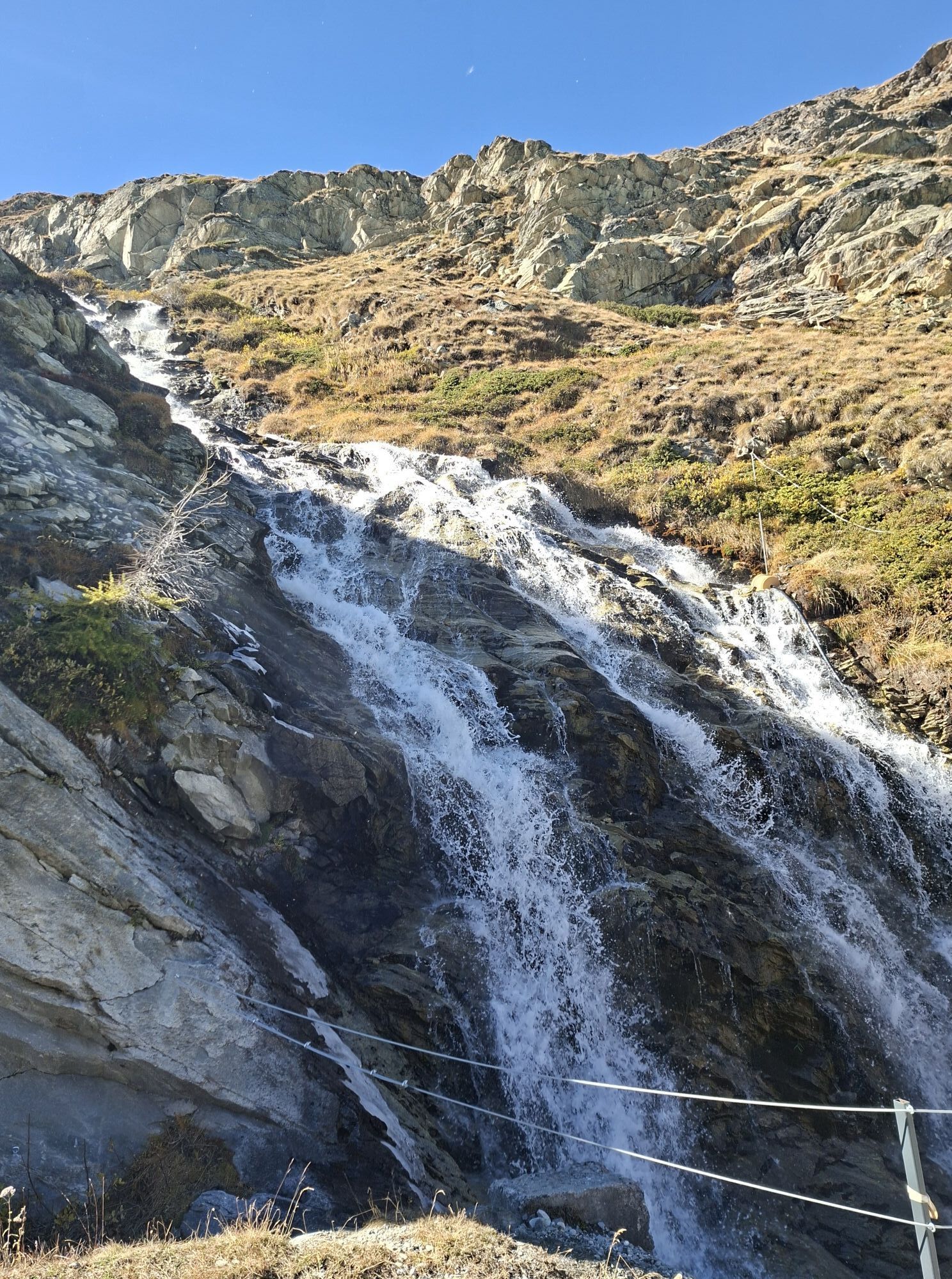
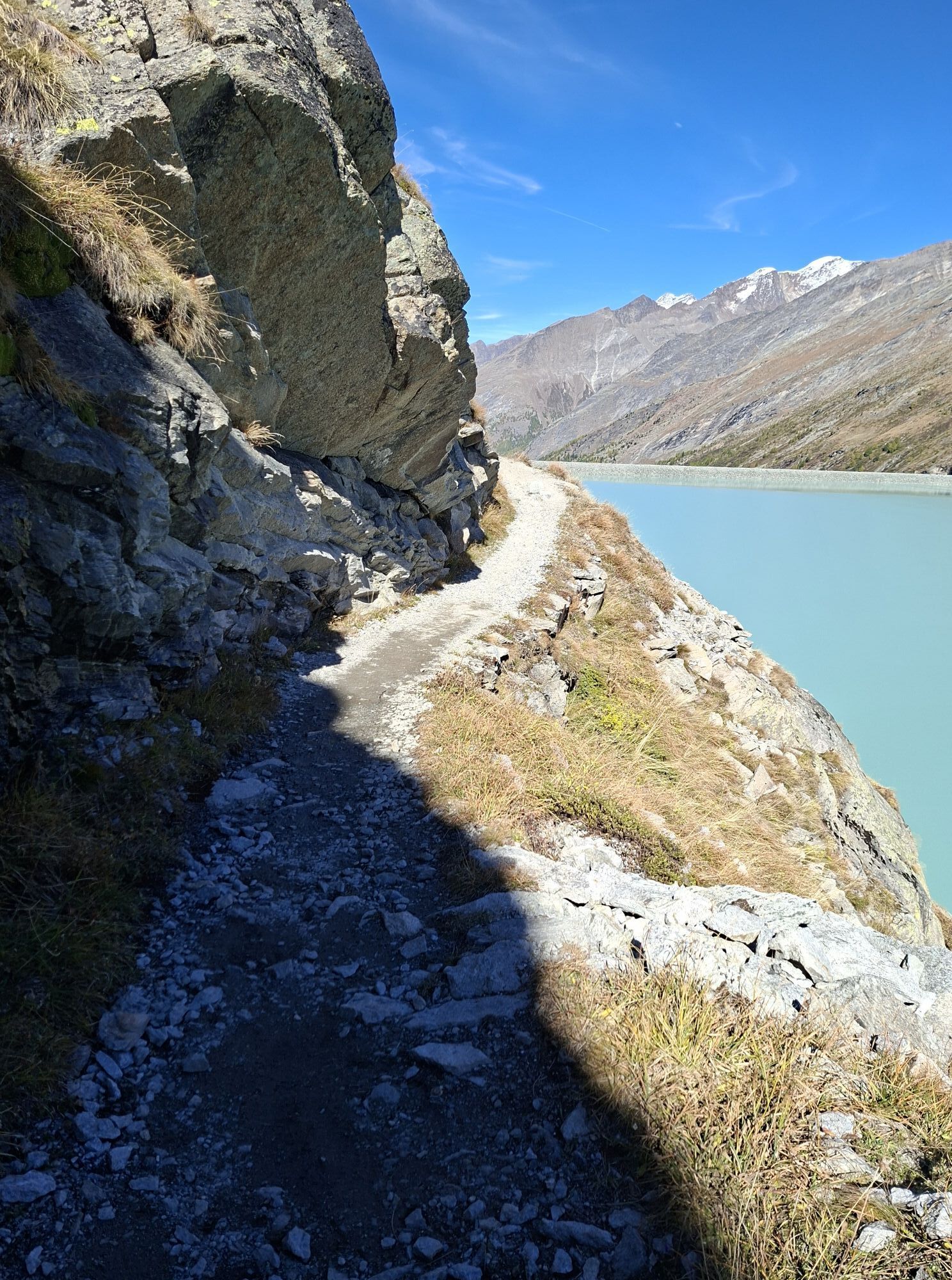
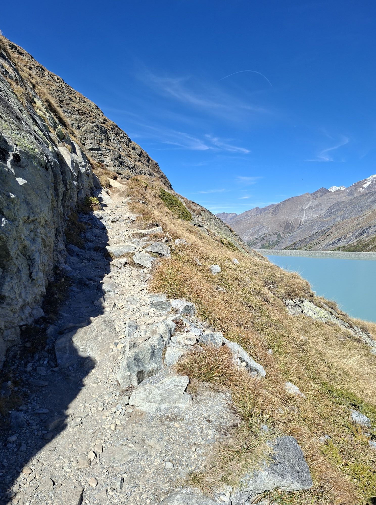
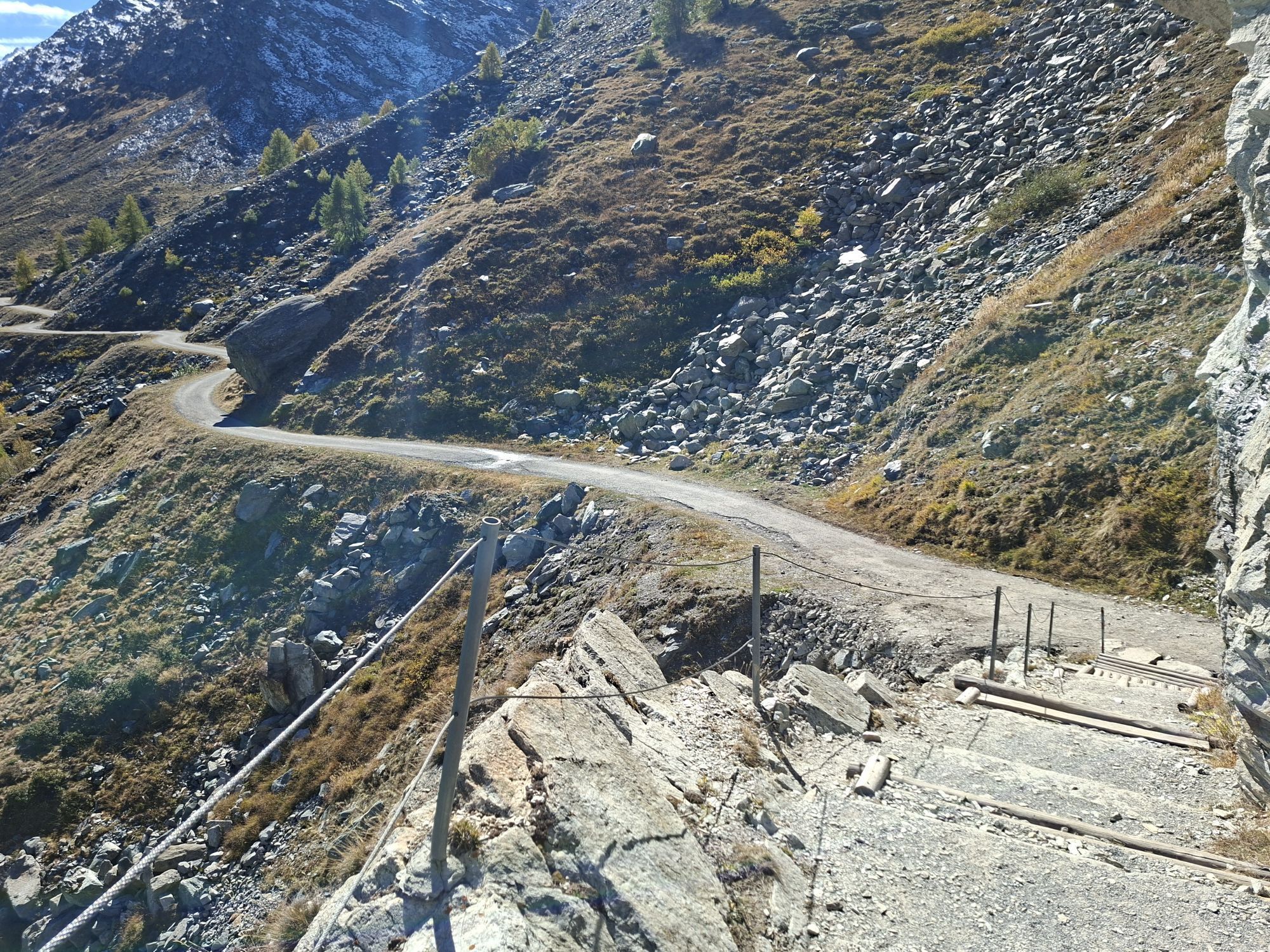
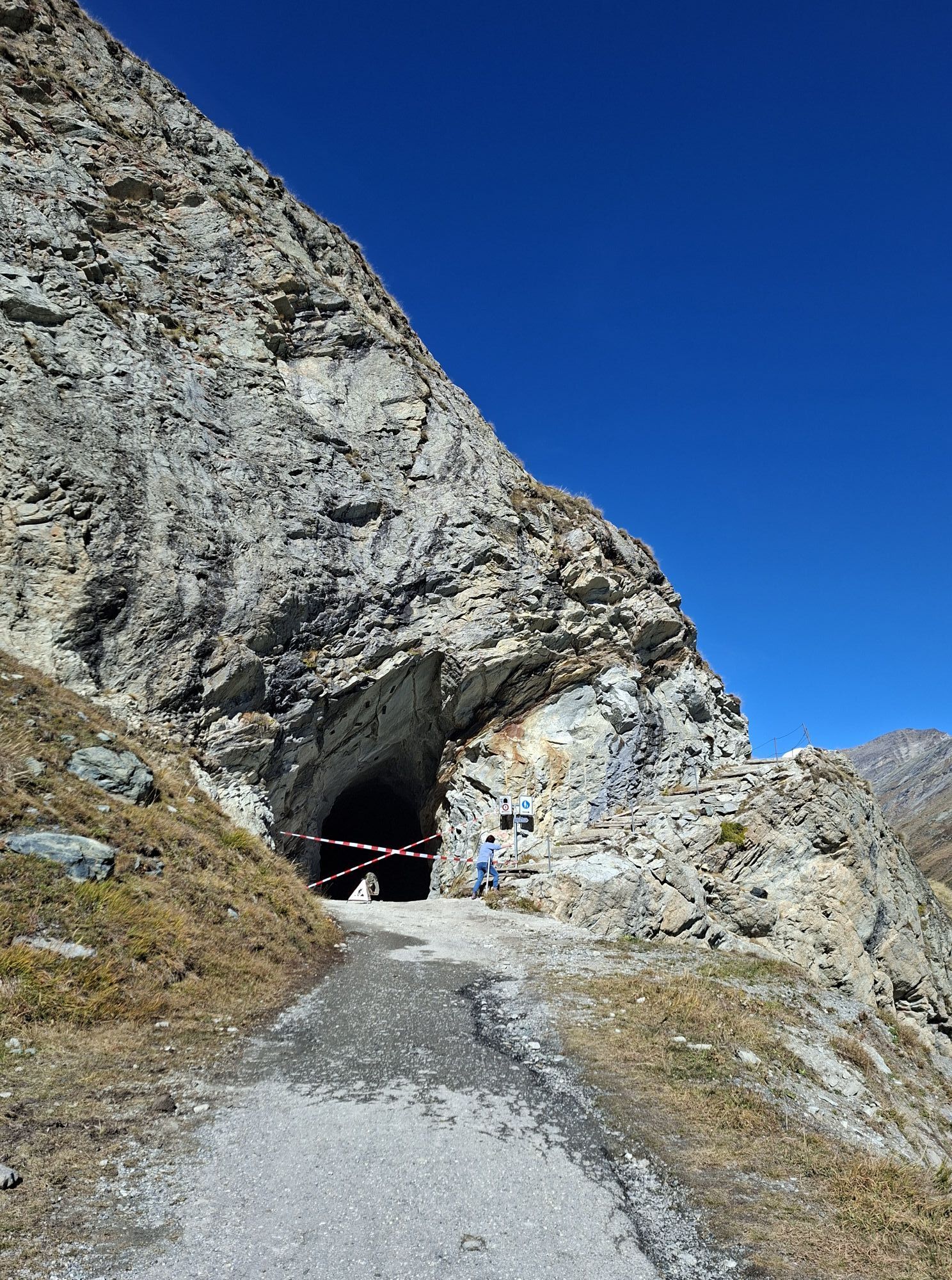
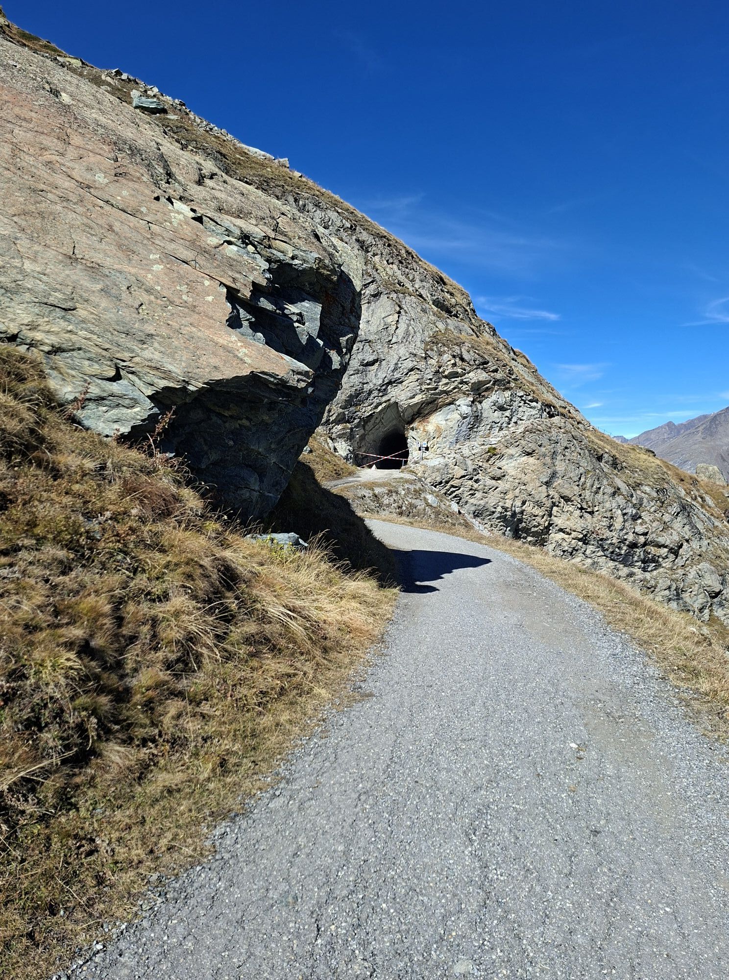
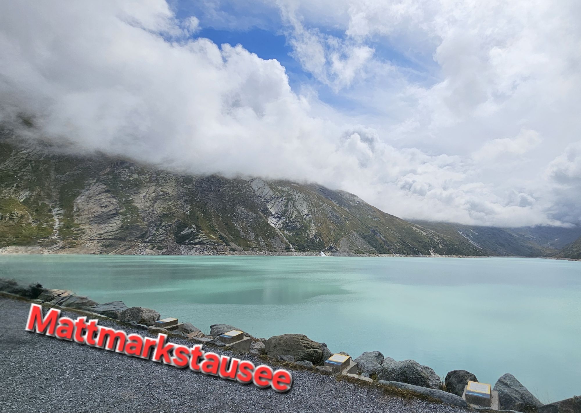
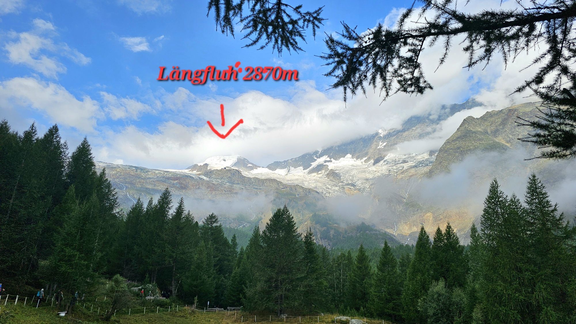
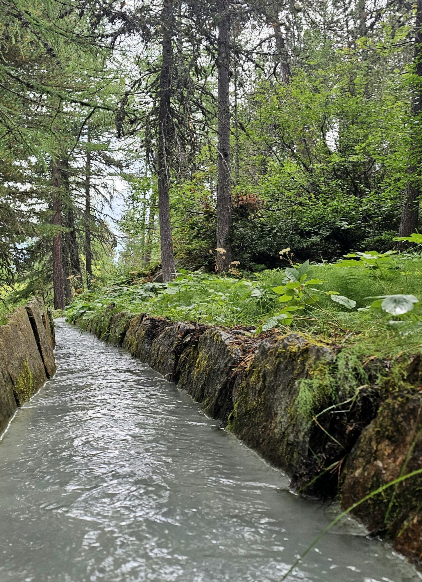
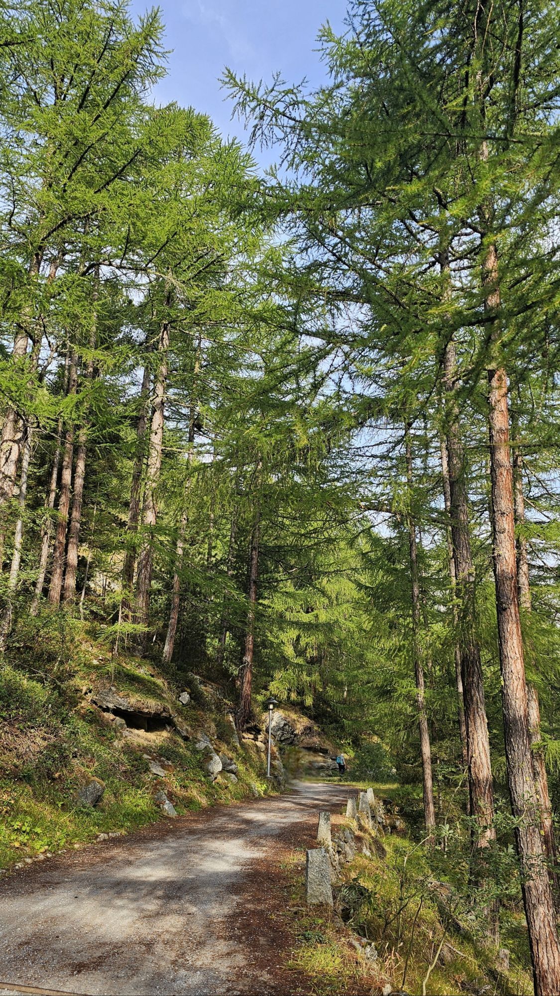
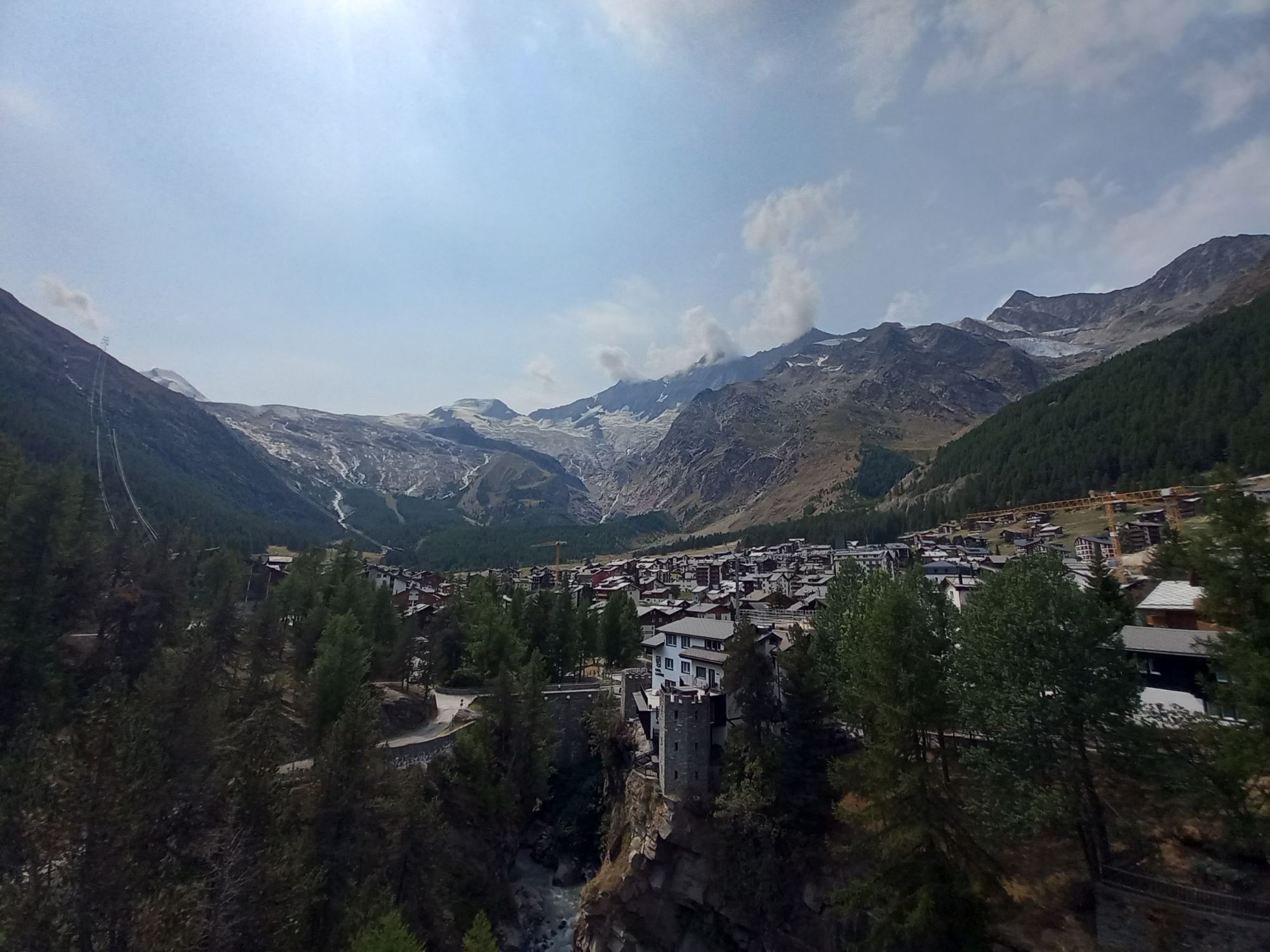
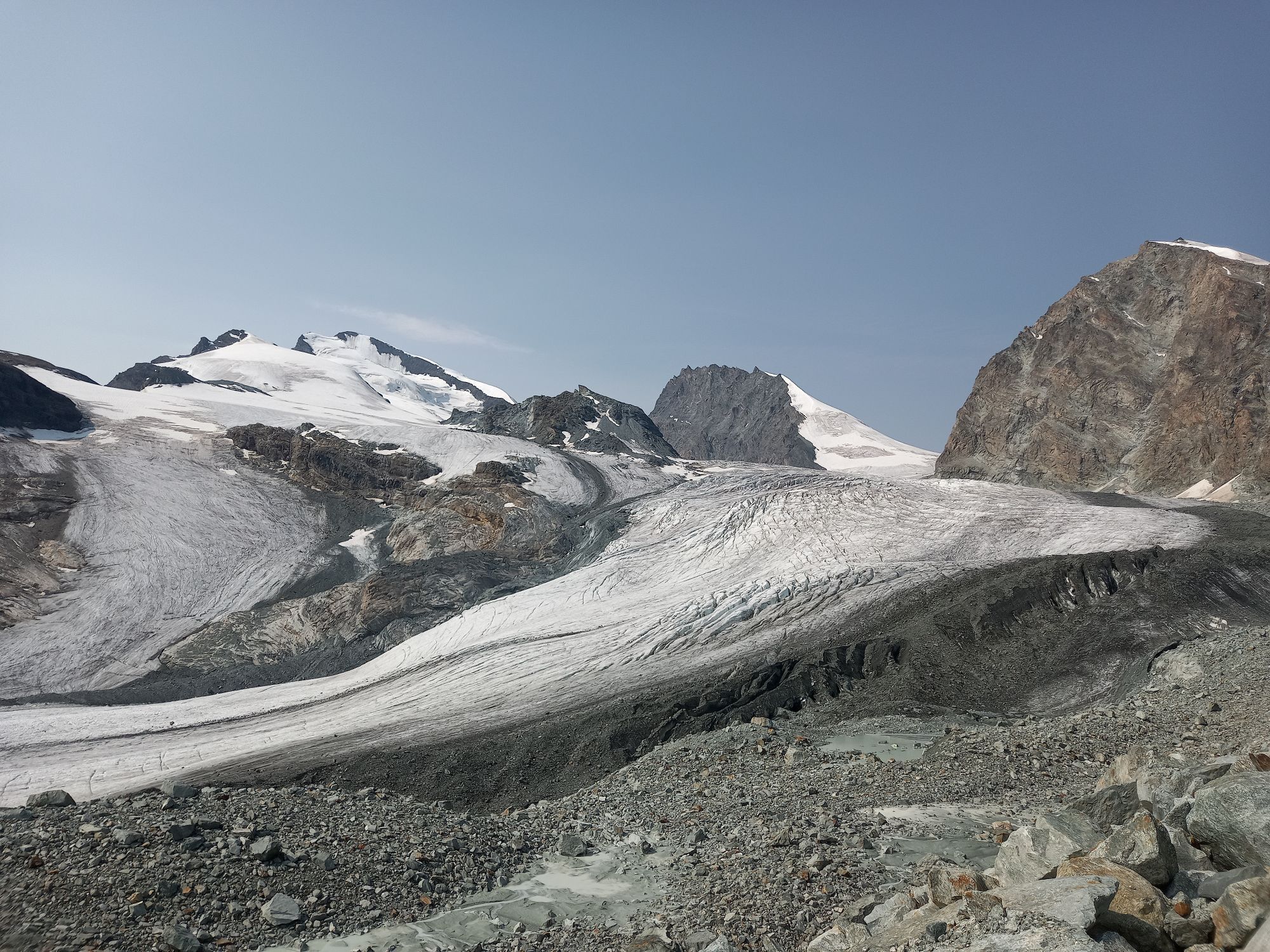
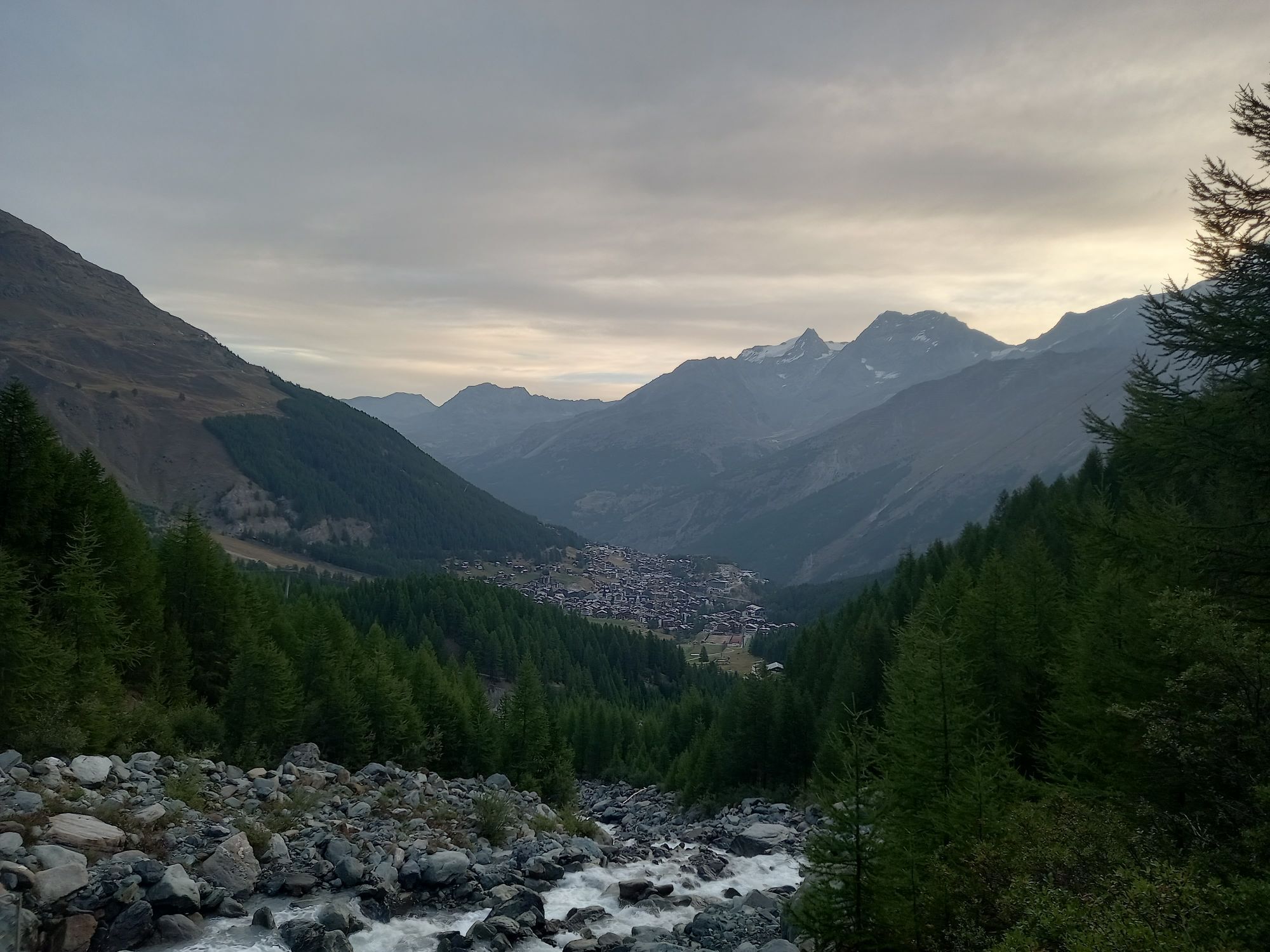
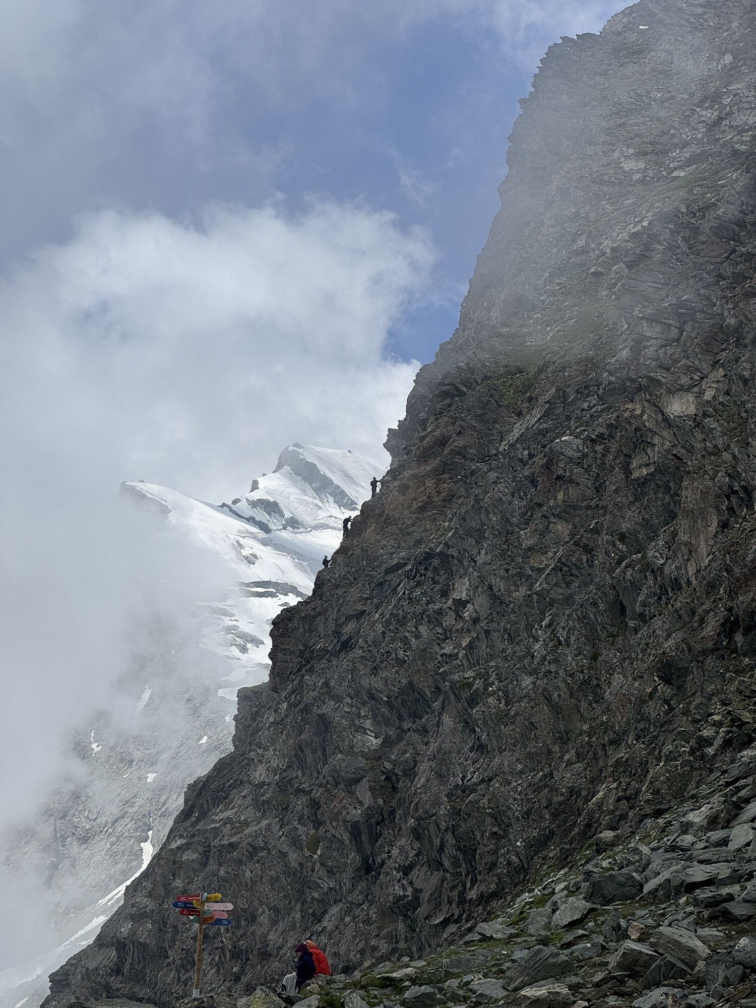
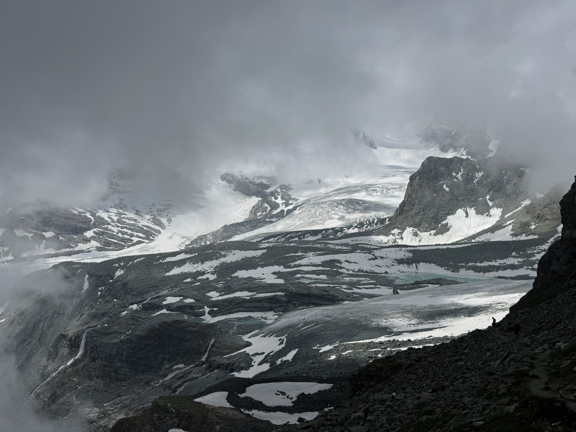
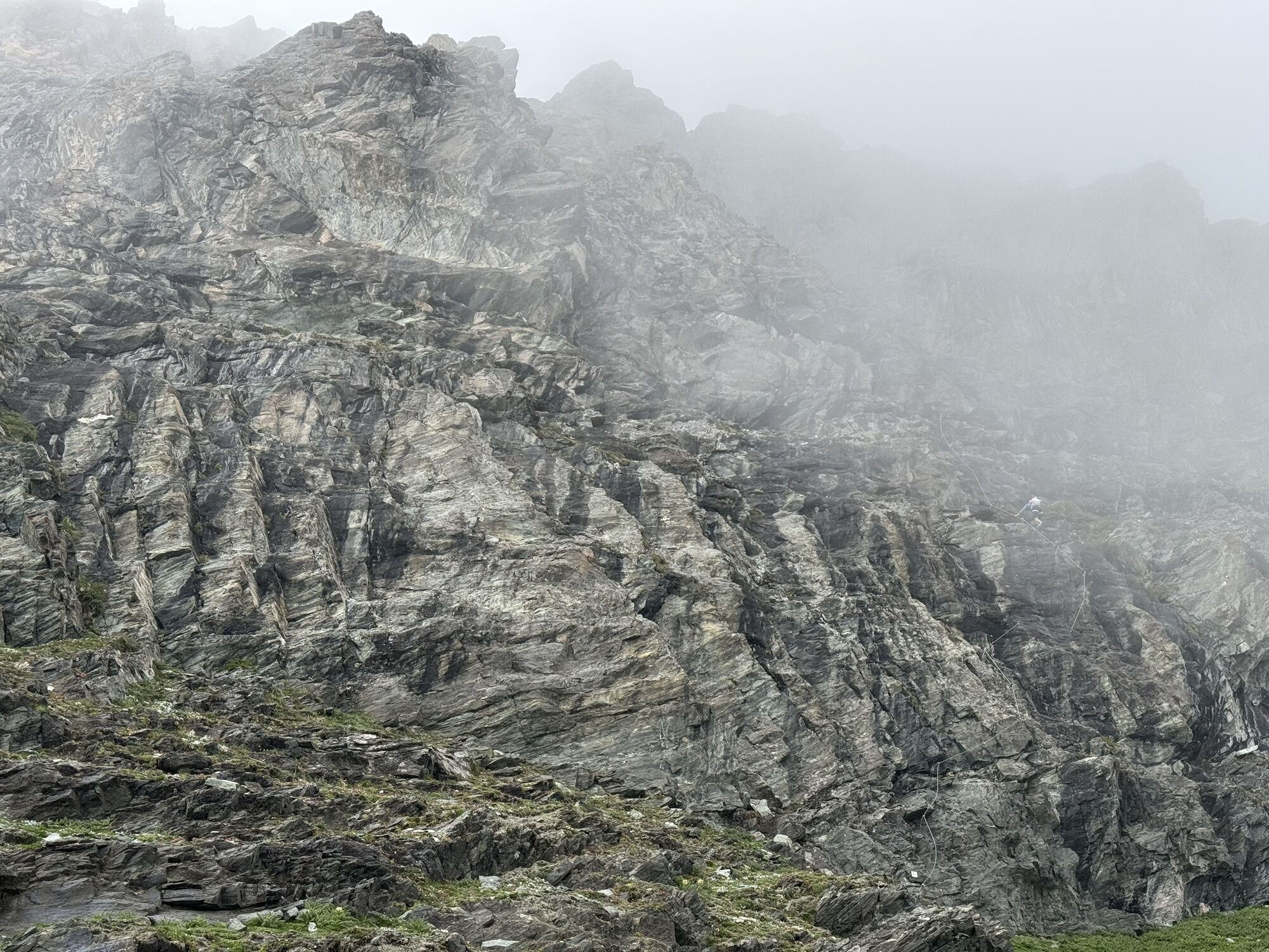
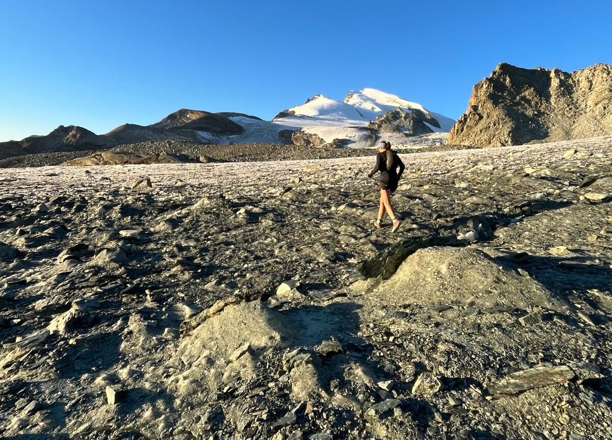
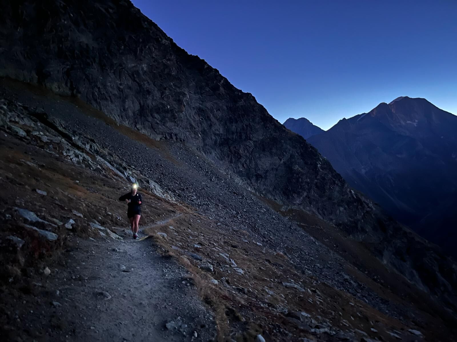
The route starting in Saas-Fee is challenging. 30 kilometers, 1,700 meters of altitude difference, everything is included from the glacier world to the singletrail through the larch forest.
In Saas-Fee,...
The route starting in Saas-Fee is challenging. 30 kilometers, 1,700 meters of altitude difference, everything is included from the glacier world to the singletrail through the larch forest.
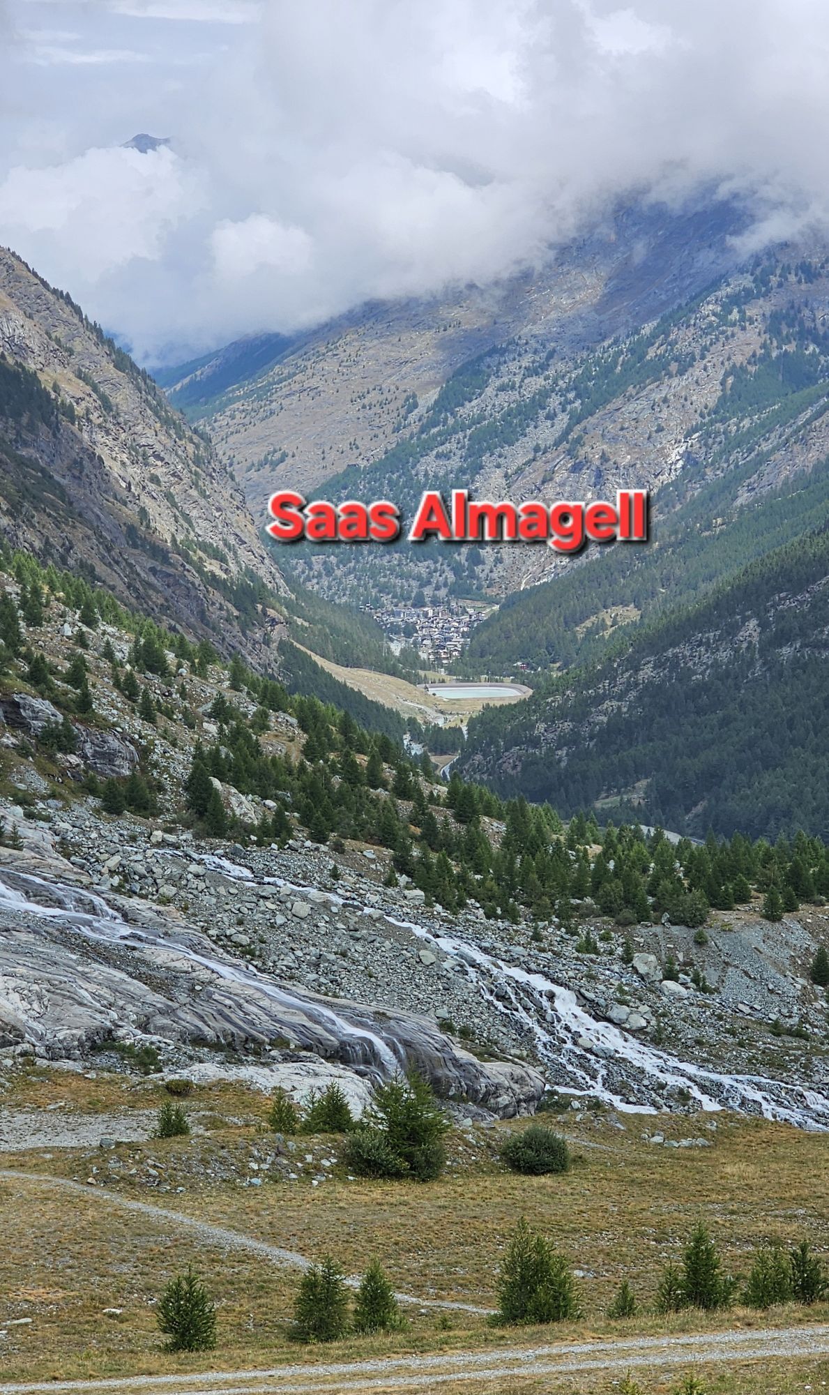
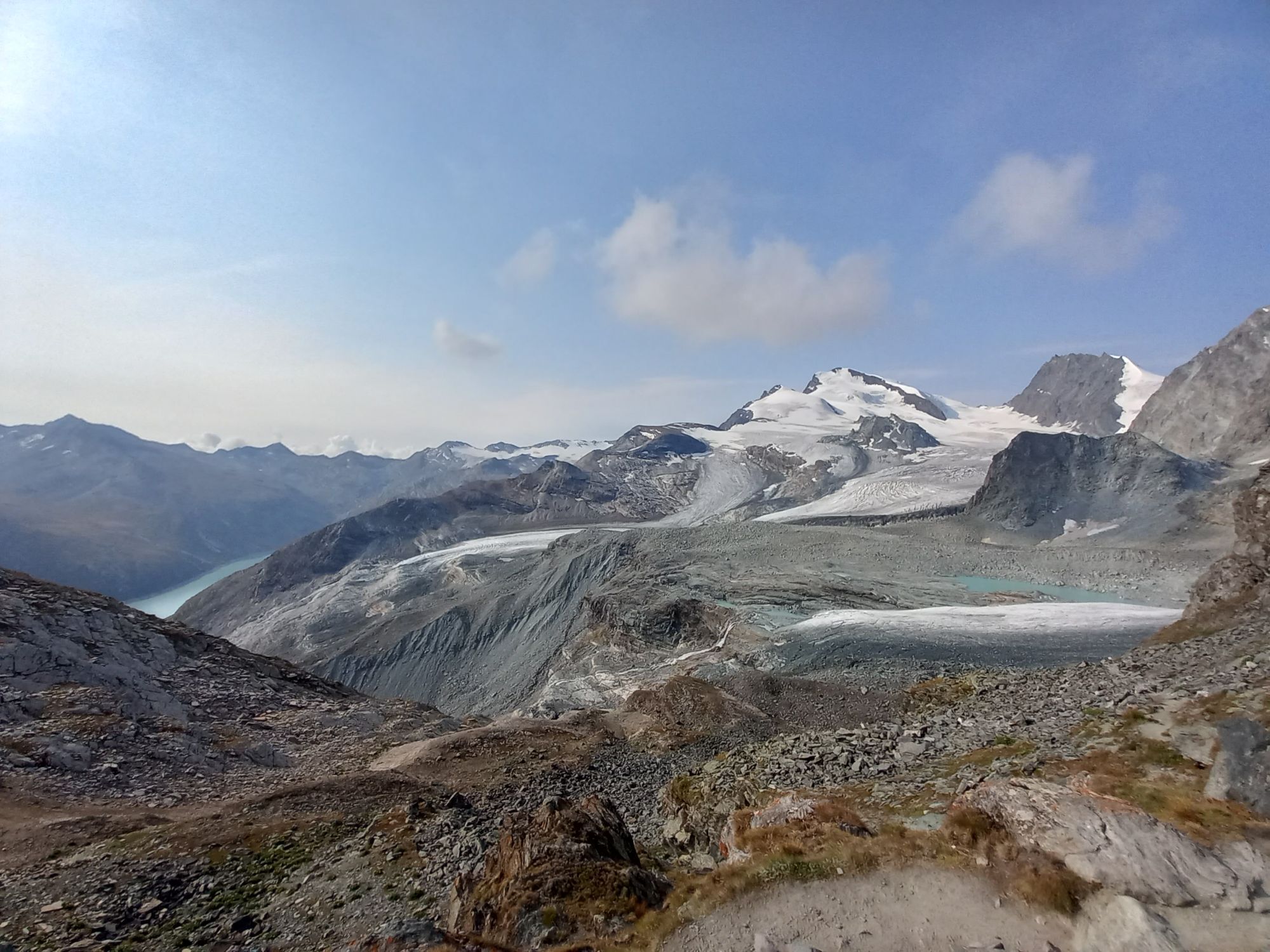
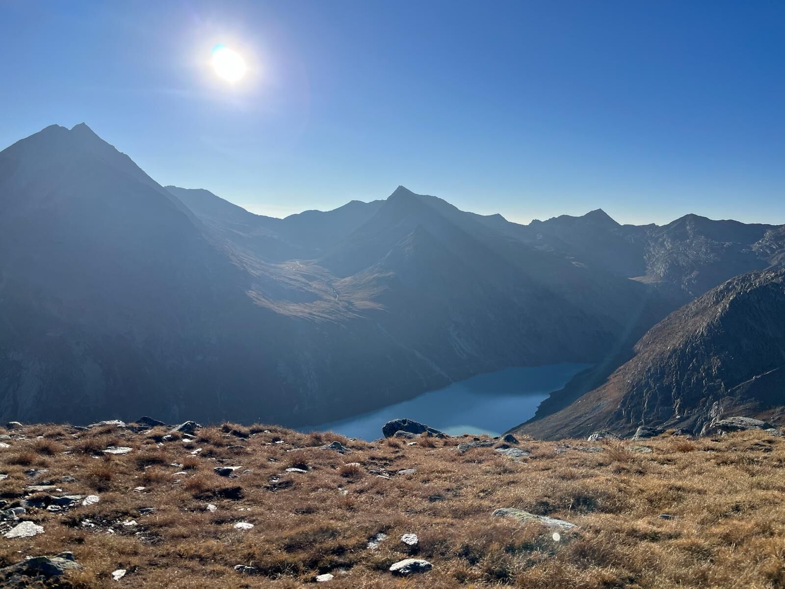
In Saas-Fee, you first start southwest, passing the Alpin Express station and the Spielbodenbahn and turn east at the falcon breeding station. Now the first ascent towards Plattjen begins, passing the old mountain house and continuing to the gondola station, which operates only in winter. At the mountain station of the Plattjenbahn, one of the many highlights awaits. Behind the Mittaghorn there is a good running trail leading to an impressive view of the Mattmark area and Saas-Almagell.
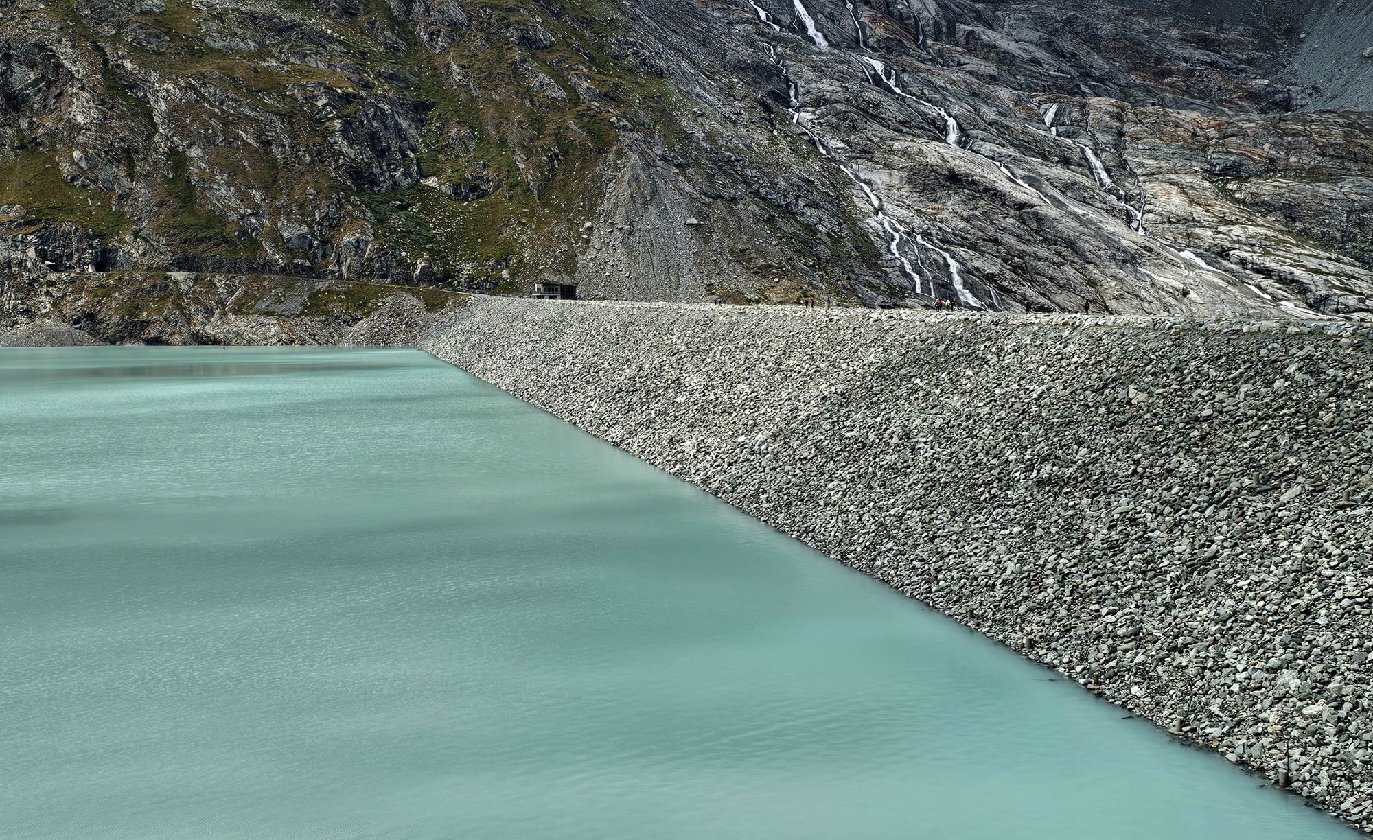
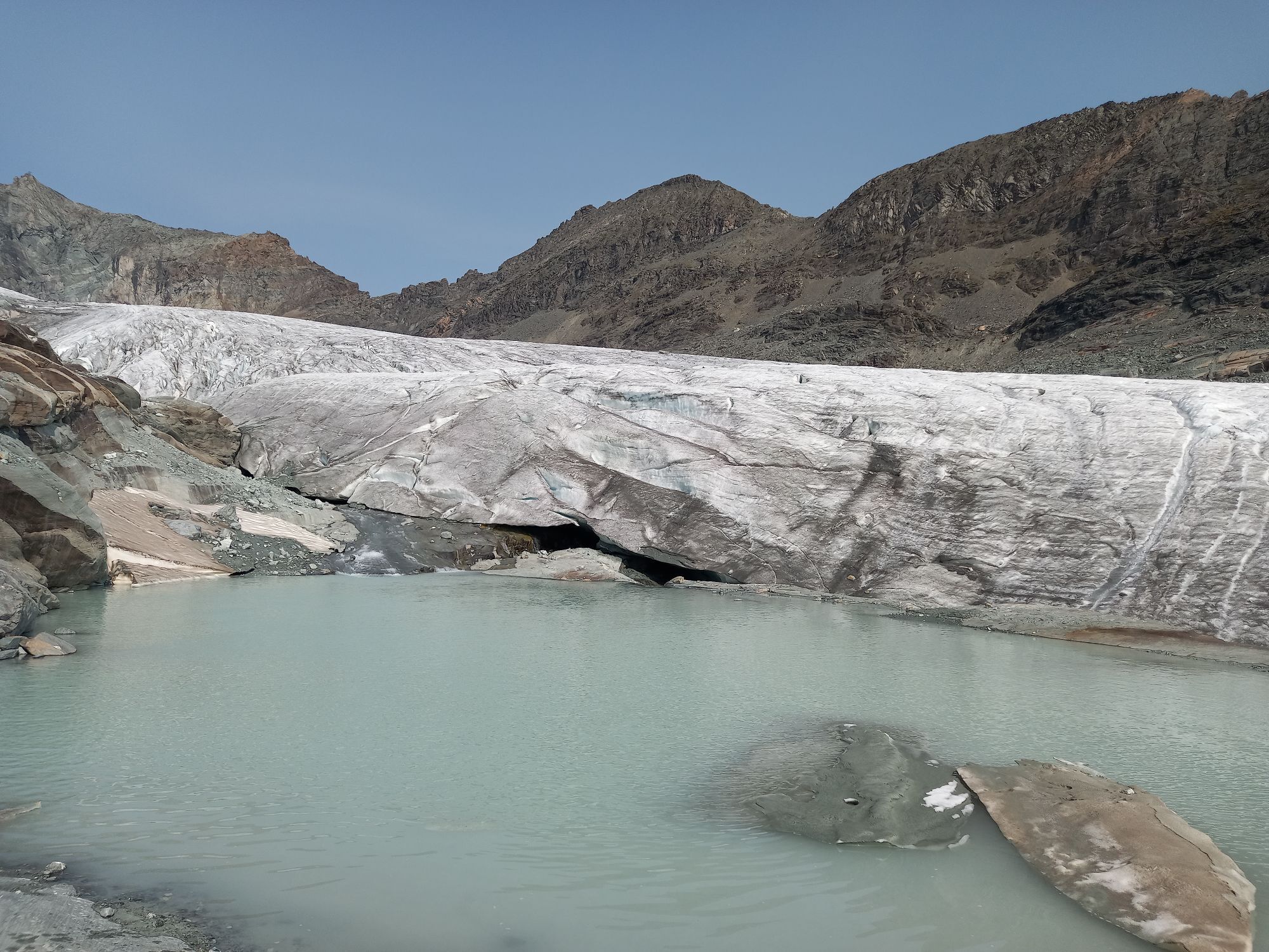
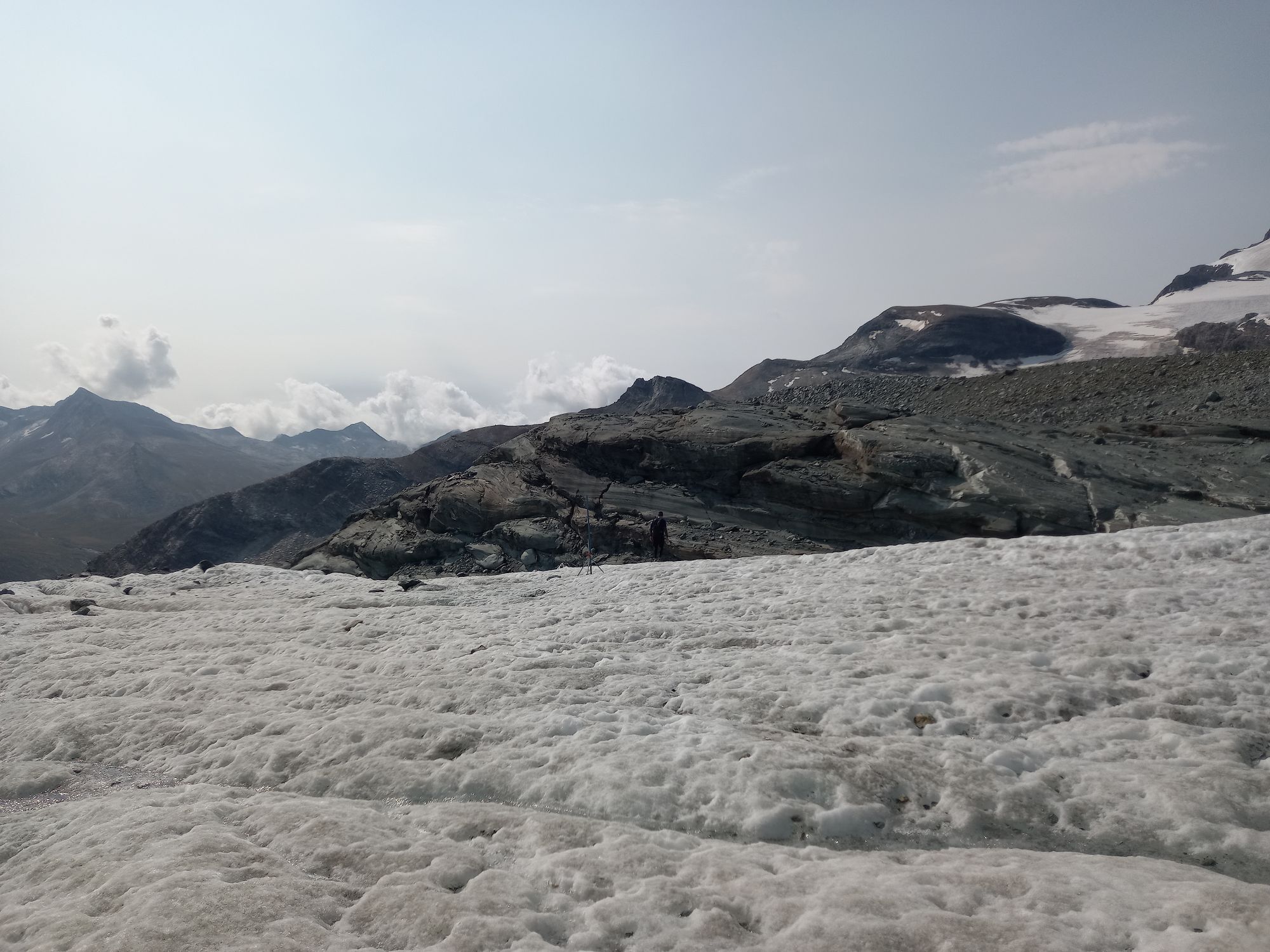
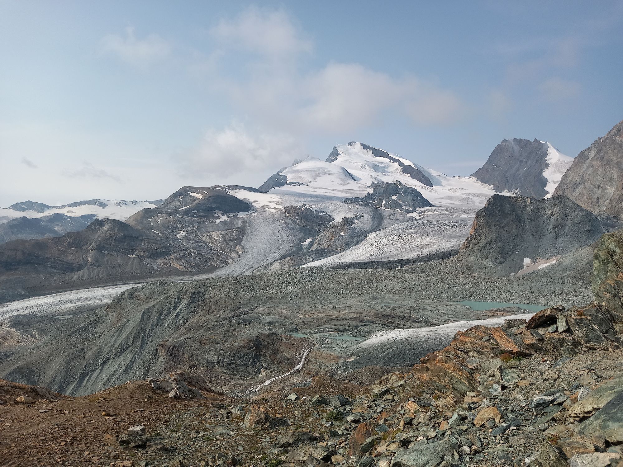
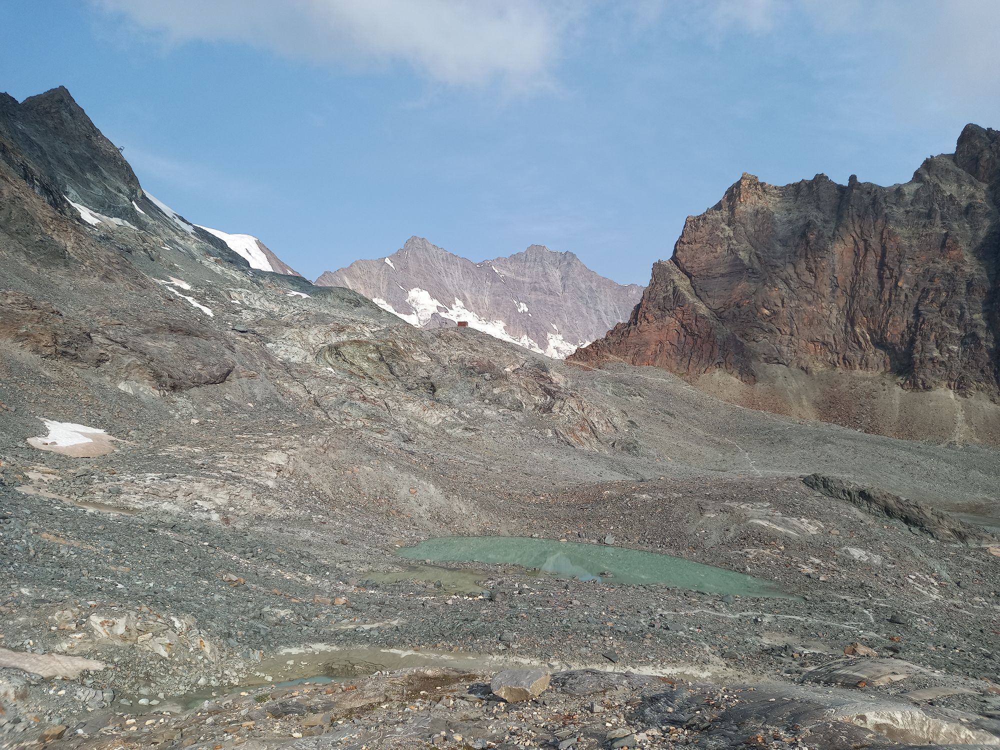
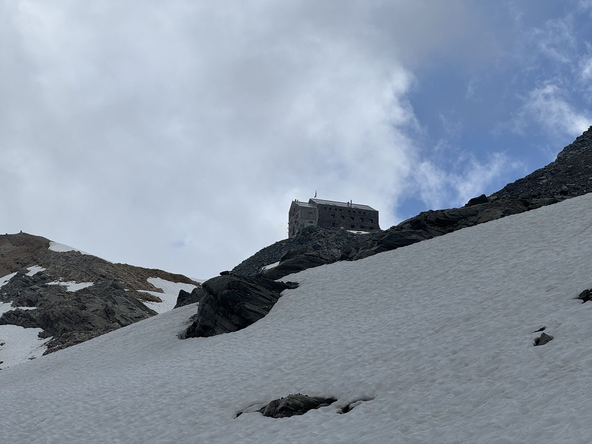
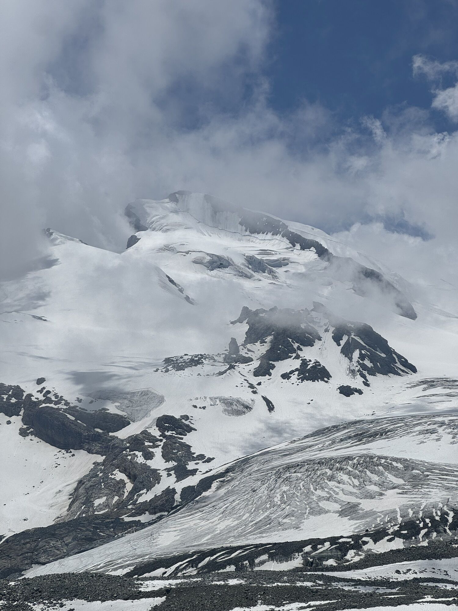
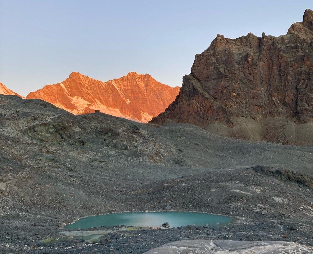
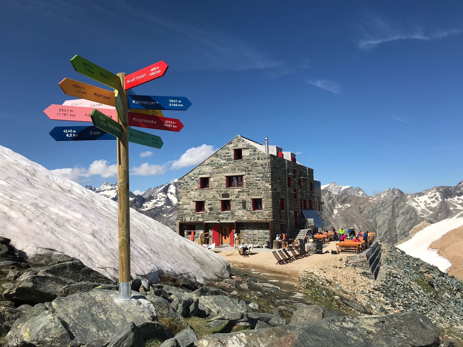
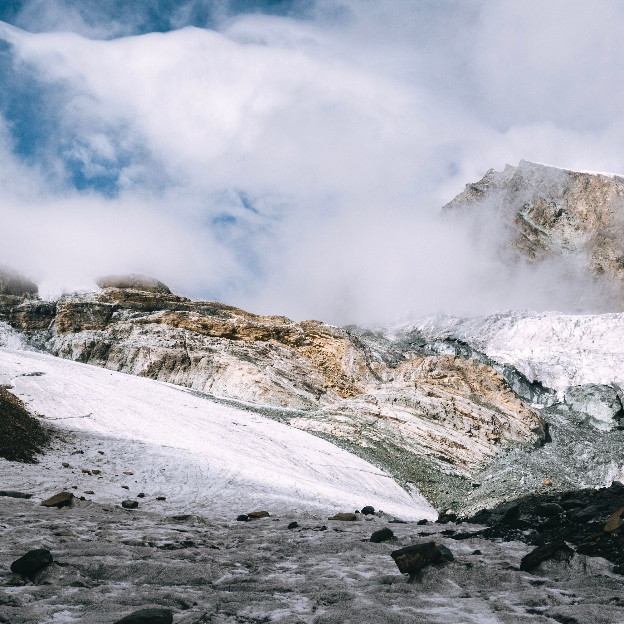
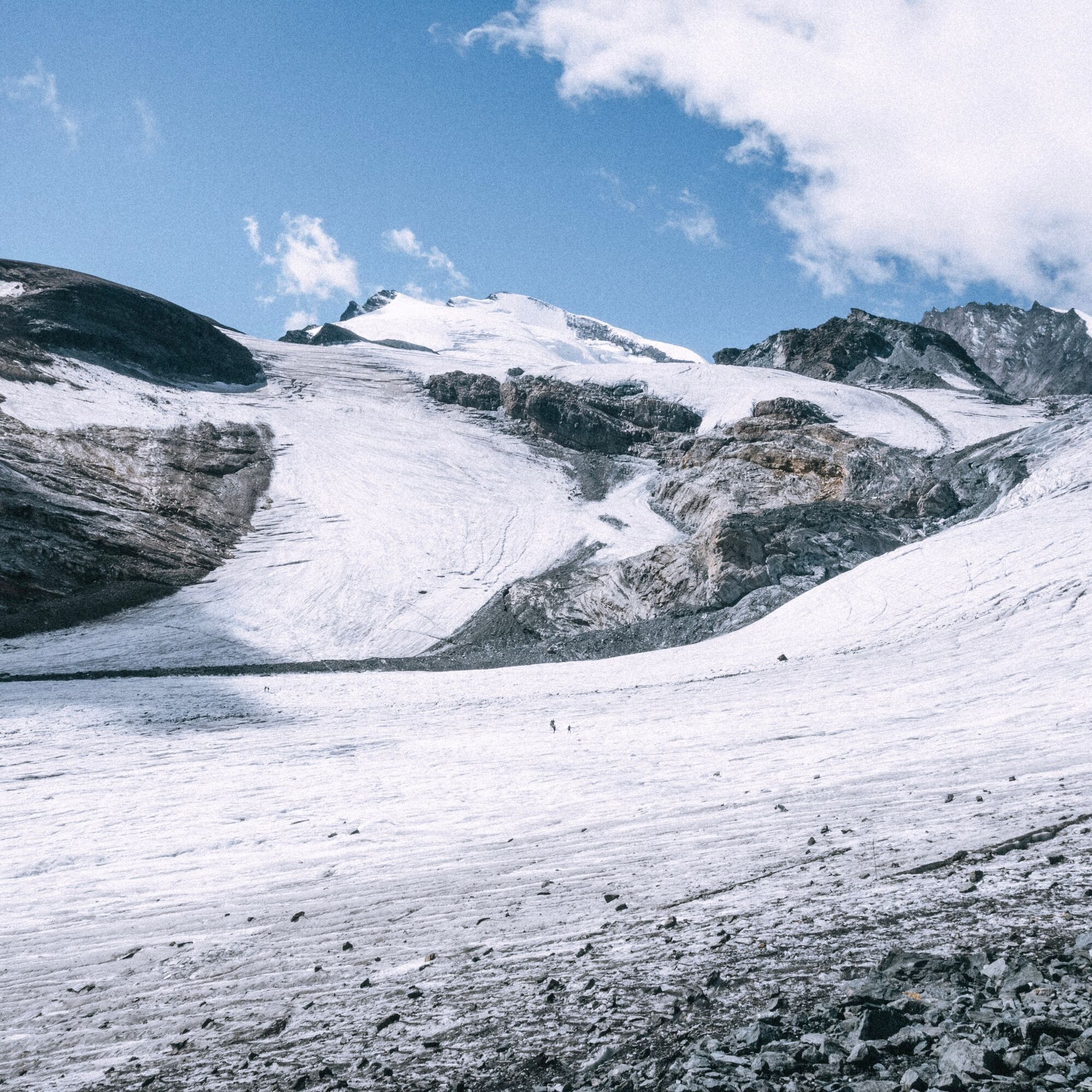
Before the Egginerjoch, the path ascends and leads over the scree slope of the former Chessjeng glacier to the Britannia Hut. Here the next highlight awaits with the crossing of two glaciers. After leaving the hut, you reach the Hohlaub Glacier after a short time. Follow the markers to a rock island over which you get to the Allalin Glacier. After a longer crossing of flat, hard snow and ice, you leave the glacier and reach the hiking trail again. From here a steep descent leads to the Mattmark reservoir before you descend along the valley path to Saas-Almagell. From Saas-Almagell, a last ascent of 150 meters leads back to Saas-Fee.
Note:
The path crosses glaciers and is marked in blue and white. Users of alpine hiking trails must be surefooted, free from vertigo, in very good physical condition, and proficient in the use of rope and ice axe. They must also be able to overcome climbing sections using their hands and understand the dangers of the mountains.
It is strongly recommended to cross the glacier before 11:00 a.m.

Saas-Fee - Plattjen - Heidenfridhof - Britannia Hut - Schwarzbergchopf - Mattmark - Zer Meiggeru - Saas-Almagell - Bodmen - Saas-Fee
Trail running shoes
Outdoor clothing: always carry a waterproof jacket
Sun protection
Fluids and snacks
Poles
Navigation tool
First aid kit
Additionally recommended for this route: crampons/ice axes
Use of the hiking trails and the information on this website is at your own risk. Conditions on site may lead to changes in the route.
Use only marked trail paths and observe all signposts and instructions—for your own safety, for the protection of grazing animals, and out of respect for wildlife. Close the gates after passing through. Be considerate towards other trail users, plants, and animals. Carry additional sun protection. UV rays can be very strong at altitude, even in cloudy weather. Plan your trail carefully: consider the required fitness level of all participants, weather forecasts, and seasonal dependencies. Weather conditions in the mountains can change very quickly and without warning. Appropriate clothing and provisions (food and drink) are very important. In unstable weather, it is better to turn back early. Inform others about your trail route and if possible do not go alone. Observe warning signs indicating dangers at riverbanks, along watercourses below dams and reservoirs: water levels can rise quickly and without warning.The Saas Valley is easily and conveniently accessible by car from all directions, whether from Switzerland or abroad. From the north, you reach us via Bern through the Lötschberg car shuttle. From the east, you come via the Furka Pass or the Furka car shuttle. From the south, we are accessible via the Simplon Pass or Simplon car shuttle, and from the west you drive via Lausanne along the Rhône Valley to Visp and from there towards Saas-Fee.
From Visp drive south towards Saas-Fee. At the "Killerhof" roundabout near Stalden take the second exit to Saas-Fee. In Saas-Grund, turn right towards Saas-Fee after the church.
Take the SBB to Visp and change there to the post bus towards Saas-Fee (bus 511).
You will find parking in the parking garage directly at the entrance to Saas-Fee.
Style: flow 70%, technical 25%, exposed 5%
Running: 75%
More information about the destination:
Saas Valley Tourism AG
Obere Dorfstrasse 2
3906 Saas-Fee
Tel.: +41 (0)27 958 18 58
E-mail: info@saas-fee.ch
www.saas-fee.ch
Britannia Hut SAC
CH- 3906 Saas-Fee
Tel.: +41 (0) 27 957 22 88
E-mail: info.britannia@saas-fee.ch
www.britannia.ch
The Klein Allalin (3,069 m) can be easily climbed. The reward: a magnificent view of the four-thousand-meter peaks of the surrounding mountain landscape.
Pridobite vpogled
Vedno v živo na mestu z več kot 9.500 spletnimi kamerami. bergfex Kot uporabnik Pro si lahko zdaj ogledate ustrezne spletne kamere za številne izlete v aplikaciji izleti iz. Tako si lahko neposredno ogledate trenutne razmere.
Priljubljeni izleti v okolici
-
4.9
Allalinhorn vom Mittelallalin über Normalweg
srednjaVisokogorska tura 6.15 km -
3.3
Europaweg Grächen - Europahütte - Zermatt
težkoPohodništvo 39.9 km -
3.6
Höhenweg Kreuzboden - Almagelleralp - Saas-Almagell
Pohodništvo 9.74 km -
3.5
Waldweg Saas-Fee - Saas-Almagell
Pohodništvo 2.83 km -
4.7
Weissmies Südgrat von Saas Almagell
srednjaVisokogorska tura 20.5 km -
4.8
Marmot mountain path Spielboden
srednjaPohodništvo 3.89 km -
3.8
Höhenweg Saas-Fee - Grächen
Pohodništvo 12.0 km -
5.0
Via ferrata Jägihorn
težkoVia ferrata 6.14 km -
4.5
Ibex path
srednjaPohodništvo 9.02 km -
5.0
Mountain trail Kreuzboden - Hohsaas
srednjaPohodništvo 4.65 km
Pohodništvo in sledenje


Ne zamudite ponudb in navdiha za naslednje počitnice
Vaš e-poštni naslov je bil dodan na poštni seznam.





