


Over the rocks
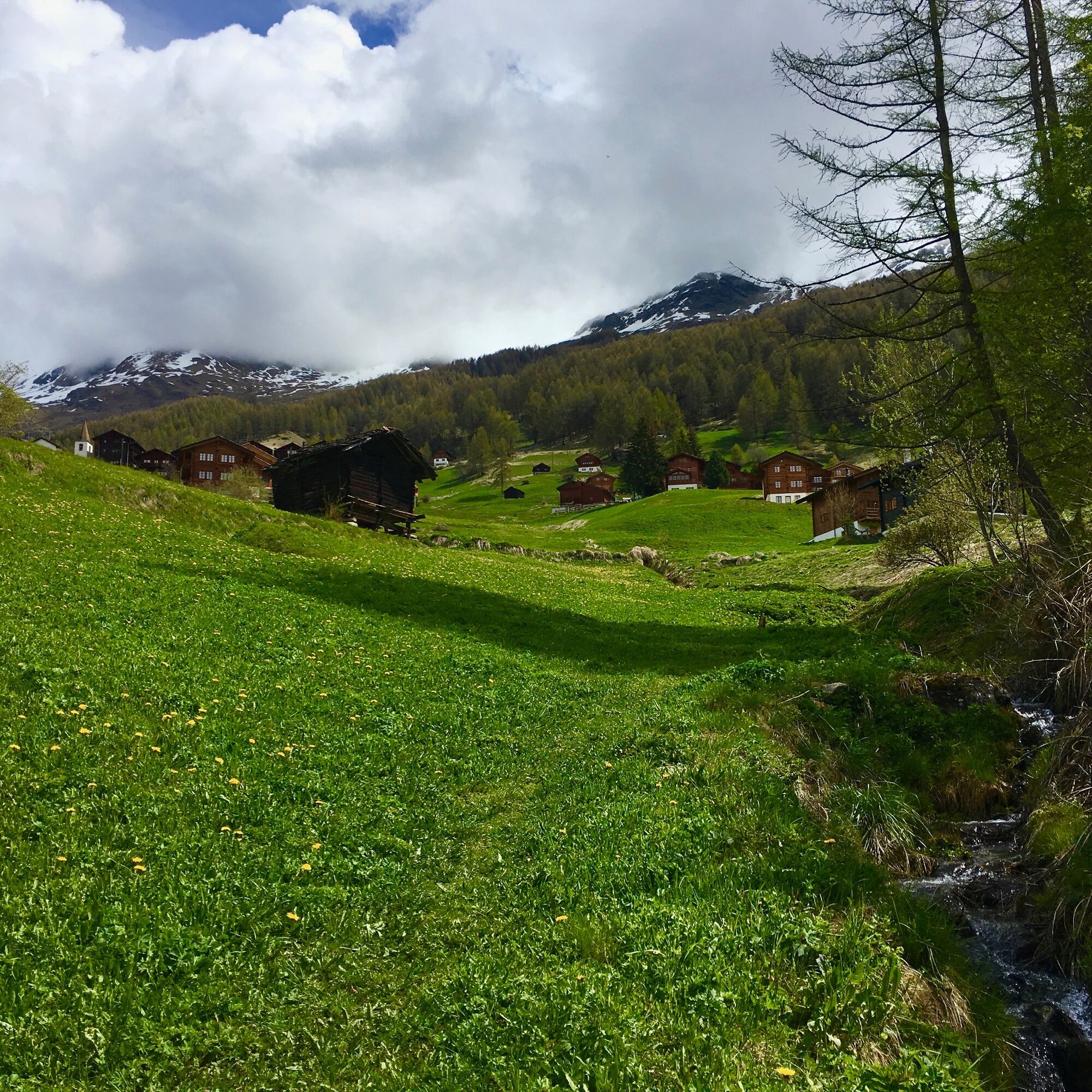
Thanks to this route, you can discover the authentic villages of the Evolène region. Three sections - an initial difficulty at the start of the route, followed by a fairly steep descending section, with...
Thanks to this route, you can discover the authentic villages of the Evolène region. Three sections - an initial difficulty at the start of the route, followed by a fairly steep descending section, with a final section along the river - give this route a nice variety of landscapes and difficulties.

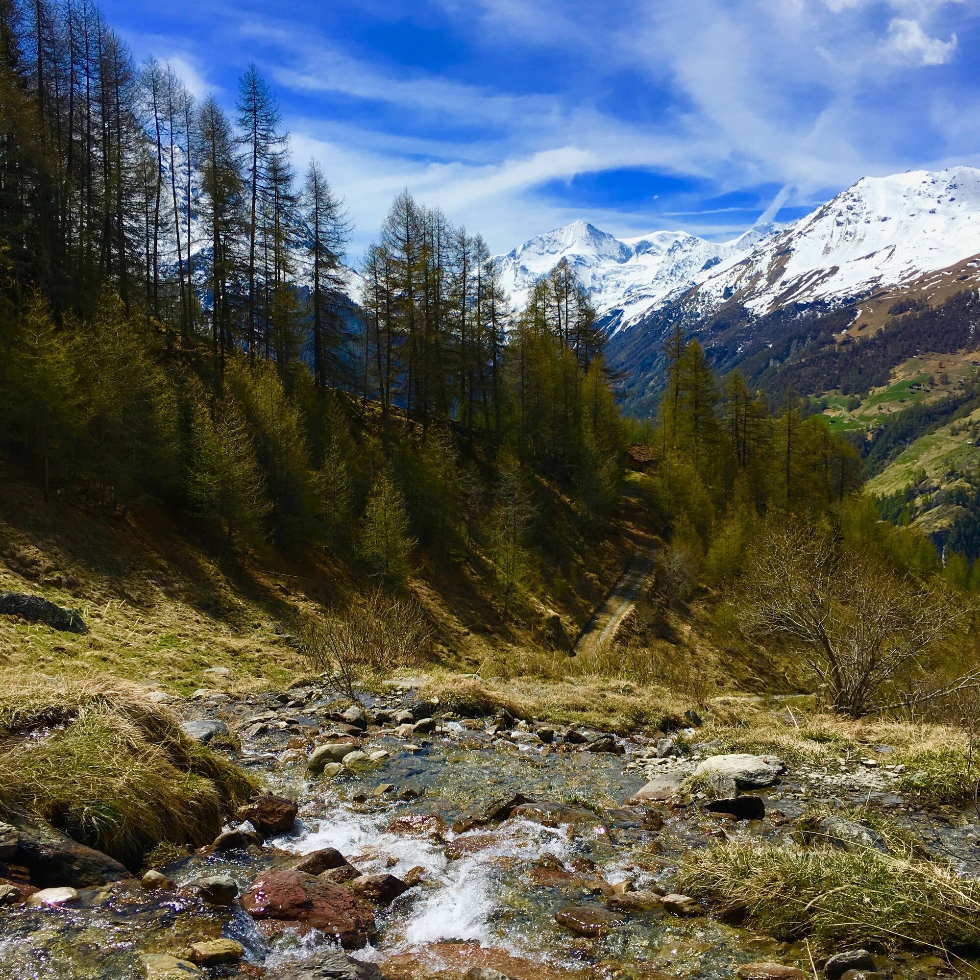
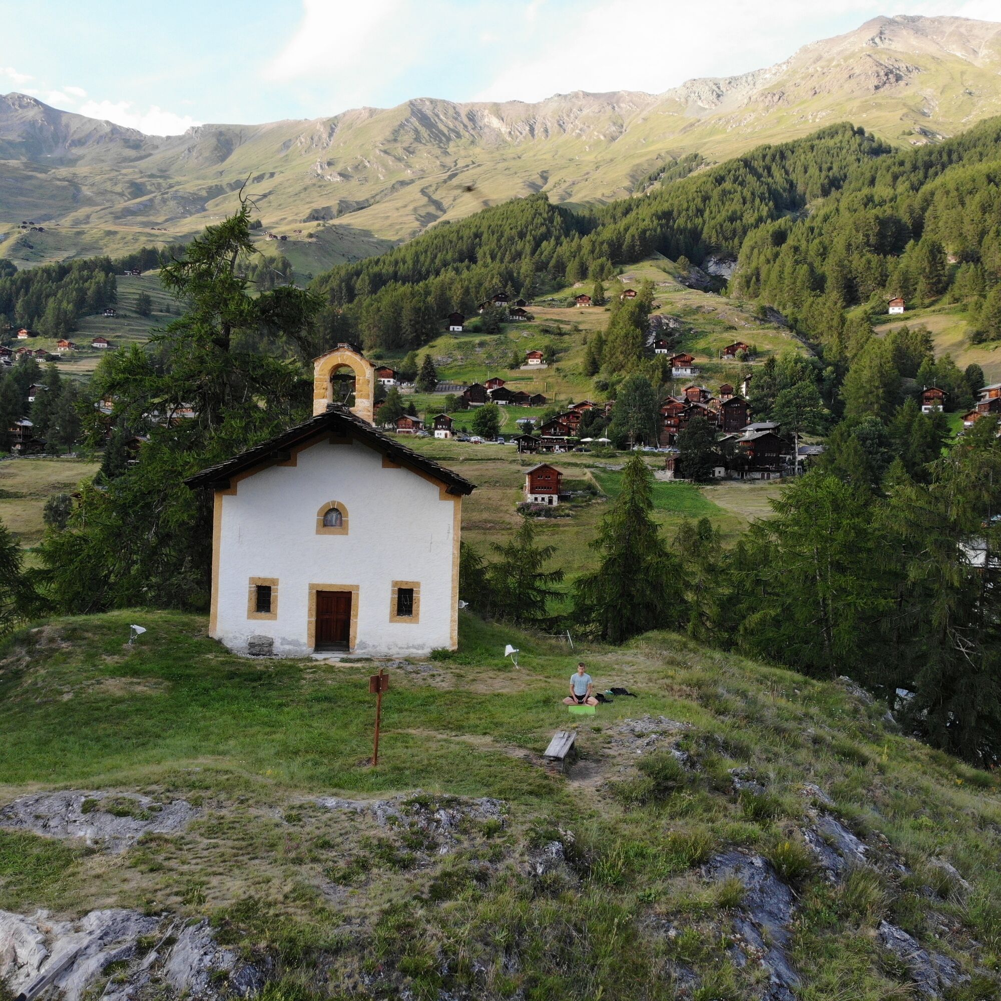
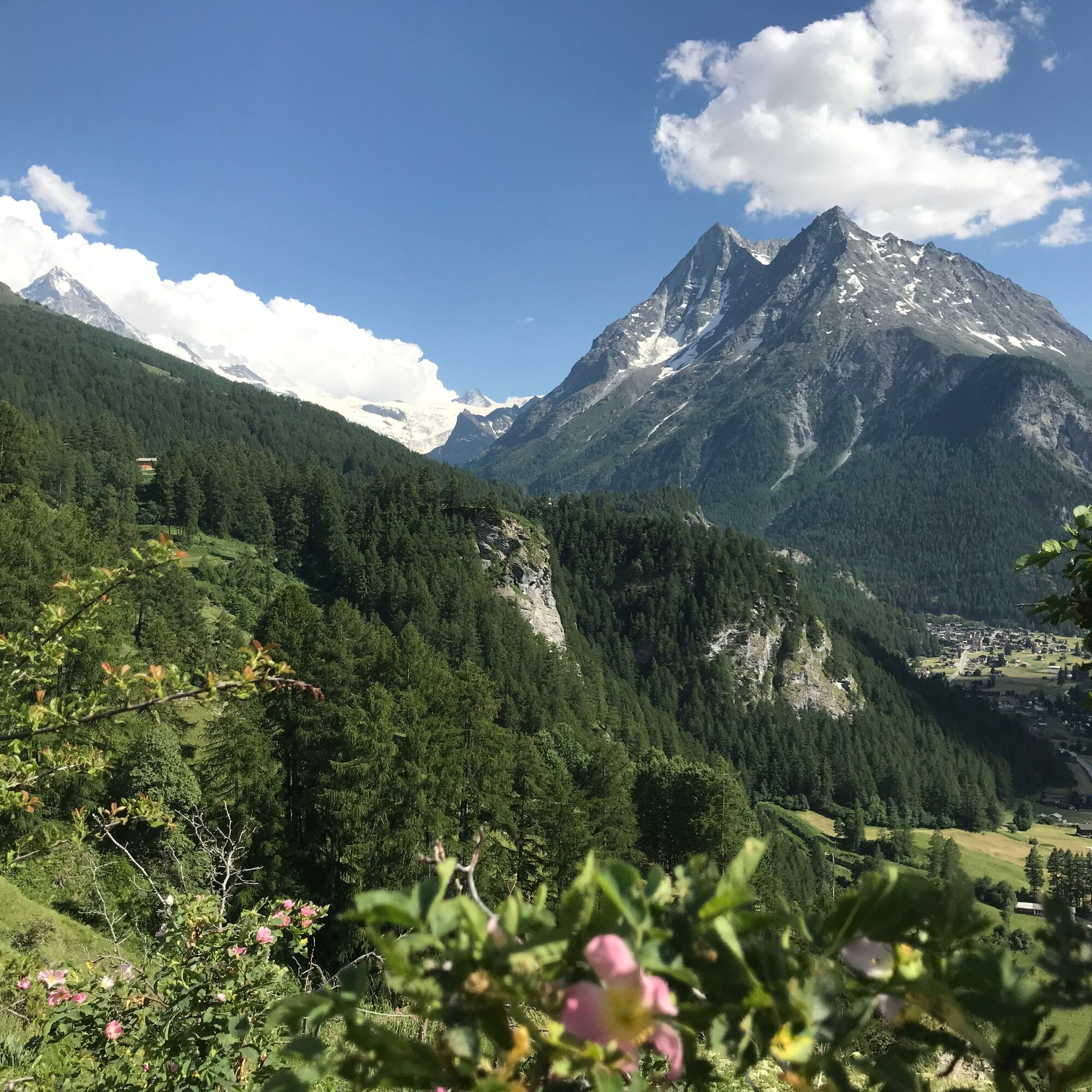
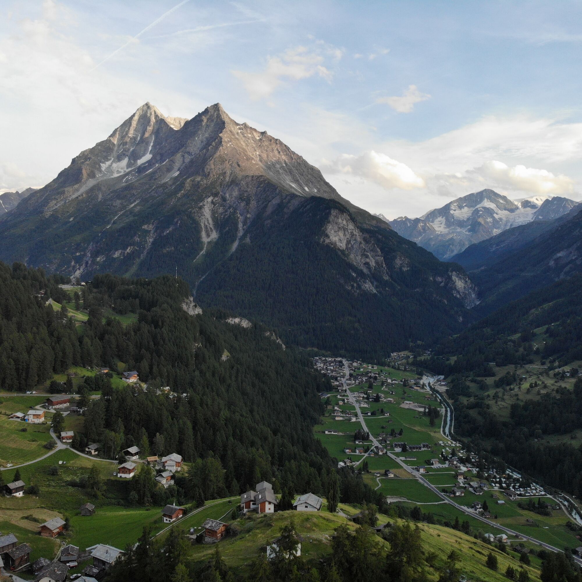

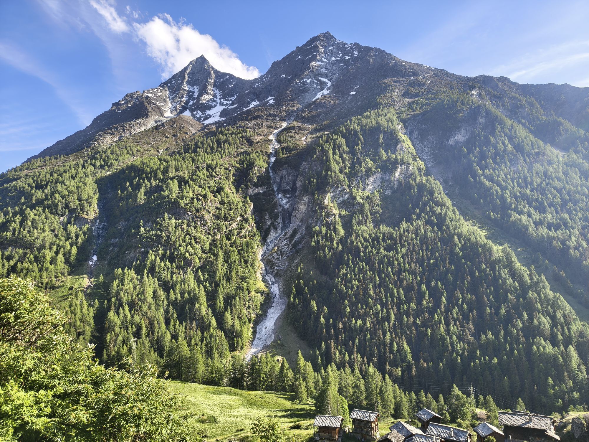
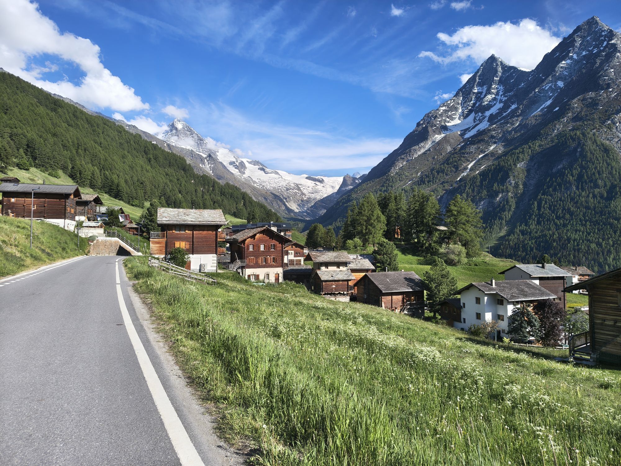
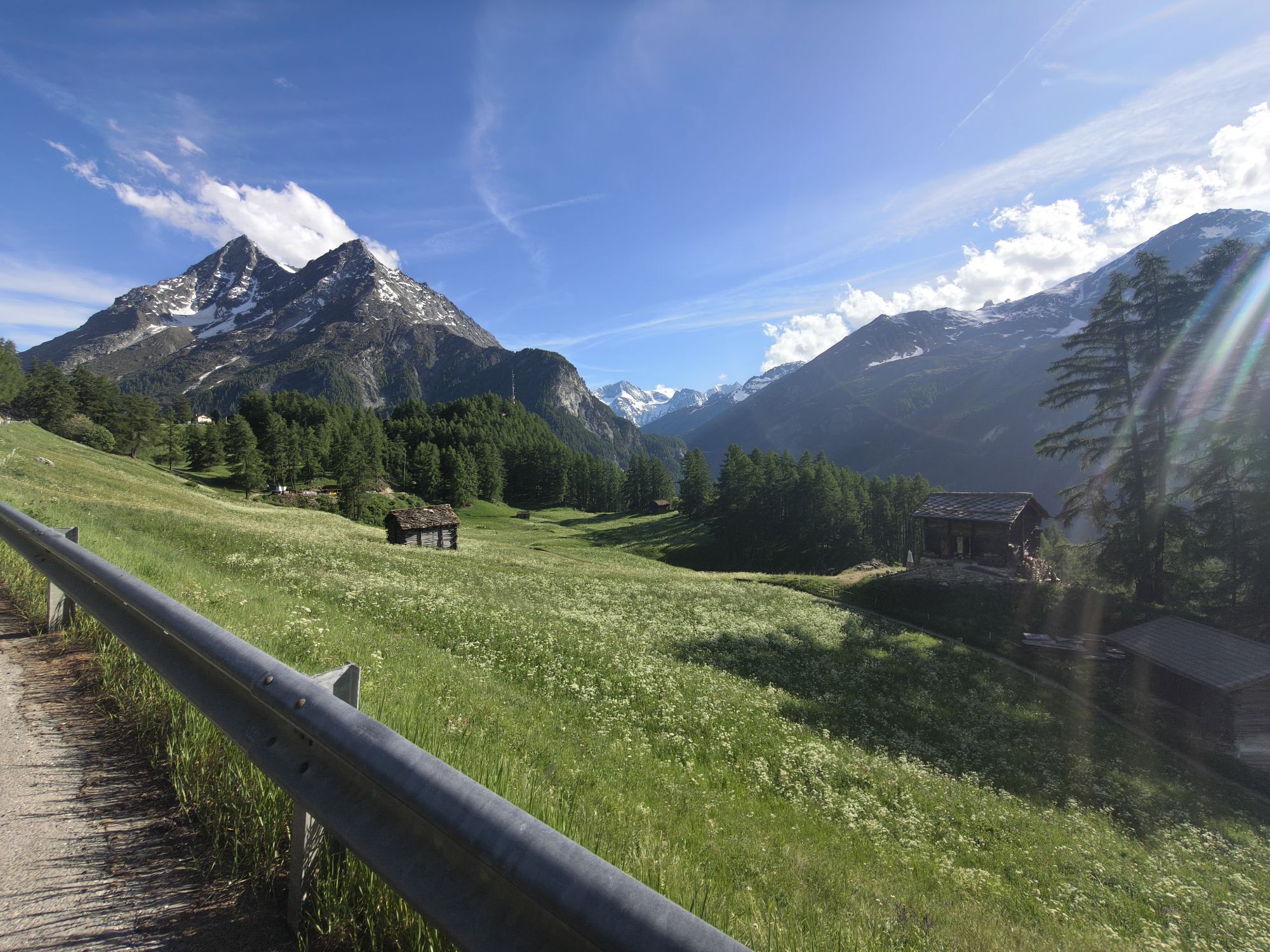
From the parking lot back to the road to the Coop shop. From the Coop in Evolène, drive 200 m towards Les Haudères. Then turn left through the hamlet of La Fauchère. This is the first and only major climb of the route. A 400 m elevation difference takes you below the villa. On a hilly path that repeatedly crosses small streams, you then reach the village of La Sage. At the chapel, a magnificent view opens up to the Dent-Blanche and the Dents de Veisivi. The descent to Les Haudères goes through the forest. Then return to the starting point by following the course of the Borgne, a large river in the Val d'Hérens.
We recommend:
Good running shoes Weather-dependent clothing: always carry a waterproof vest Headgear Sunscreen Water bottle Trail polesUse of the trail paths and information on this website is at your own risk. Conditions on site may cause changes to the route. Valais/Wallis Promotion accepts no responsibility for the accuracy and completeness of the information on this website.
For all trails:
Use only marked trail paths and consider all signposts and instructions - for your own safety, to protect grazing animals and out of respect for wildlife. Close gates again after passing through. Be considerate towards other trail users, plants, and animals.For mountain trails:
Take additional sunscreen with you. UV rays can be very strong at high altitudes, even in cloudy weather. Plan your trail carefully: consider the required fitness level of all participants, weather forecasts and seasonal dependencies. Weather conditions can change very quickly and without warning in the mountains. Appropriate clothing and provisions (food and drink) are very important. In unstable weather, better turn back early. Inform your family about your trail route. Avoid going alone if possible. Observe warning signs indicating dangers at riverbanks, along watercourses below dams and reservoirs: water levels can rise quickly and without warning.Motorway to Sion-Est. Towards Evolène to the parking lot of Colonie la Niva.
Regular trains to Sion. By post bus to Evolène. Stop at the stop next to the Coop. On foot towards Les Haudères, then turn left and follow trail path no. 3.
The parking lot of the Colonie la Niva
More information about the destination:
Val d'HerensBe inspired by the 15 poems and watercolors by the local artist and poet Francine Carrillo, which are installed on the contemplative path between Villa and La Sage.
Priljubljeni izleti v okolici
-
5.0
Sentier des bouquetins
srednjaPohodništvo 8.73 km -
4.5
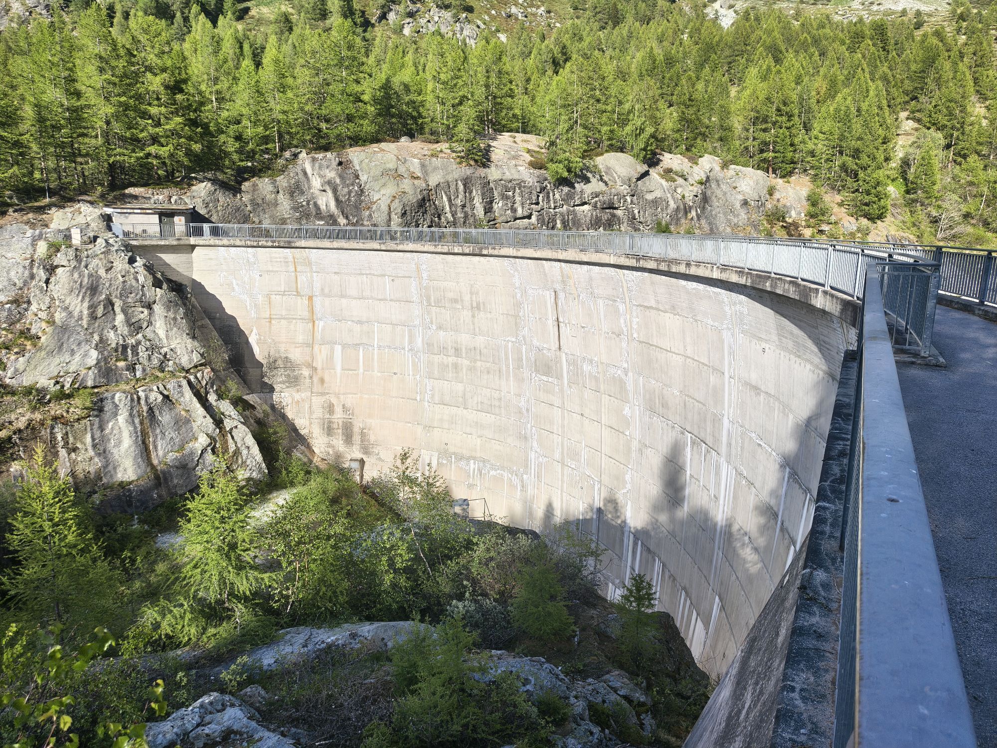
Cleuson Dam
srednjaPohodništvo 11.5 km -
Tour du Lac de Moiry
srednjaPohodništvo 13.4 km -
Arolla - Vignettes
srednjaSmučarska tura 5.04 km -
5.0
Zinal - Cabane du Petit Mountet
srednjaPohodništvo 12.0 km -
4.0
Moiry via ferrata
težkoVia ferrata 2.93 km -
5.0
Tour of Val d’Anniviers: Zinal–Grimentz (Stage 3)
srednjaPohodništvo 14.5 km -
Tour du Val d’Hérens: Grande Dixence dam to Arolla (stage 2)
težkoPohodništvo 17.8 km -
5.0
Tour du Val d’Hérens: Thyon – Grande Dixence (Stage 1)
srednjaPohodništvo 15.8 km -
Chemin des villages d’Evolène
svetlobaPohodništvo 11.0 km
Pohodništvo in sledenje


Ne zamudite ponudb in navdiha za naslednje počitnice
Vaš e-poštni naslov je bil dodan na poštni seznam.