







Chemin des villages d’Evolène
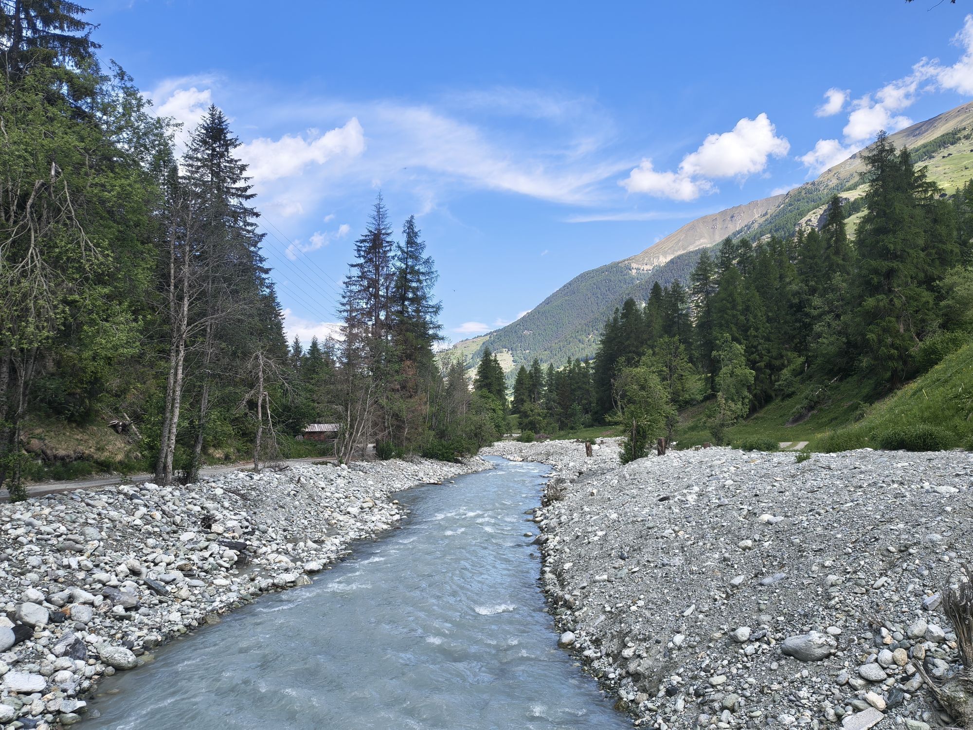
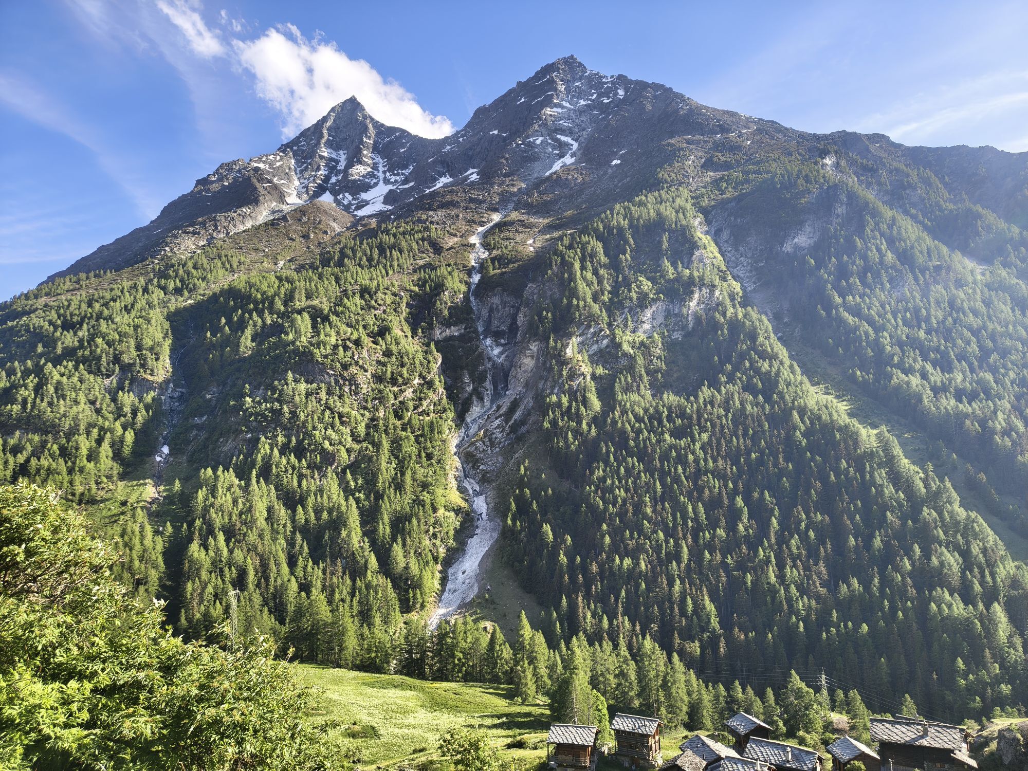
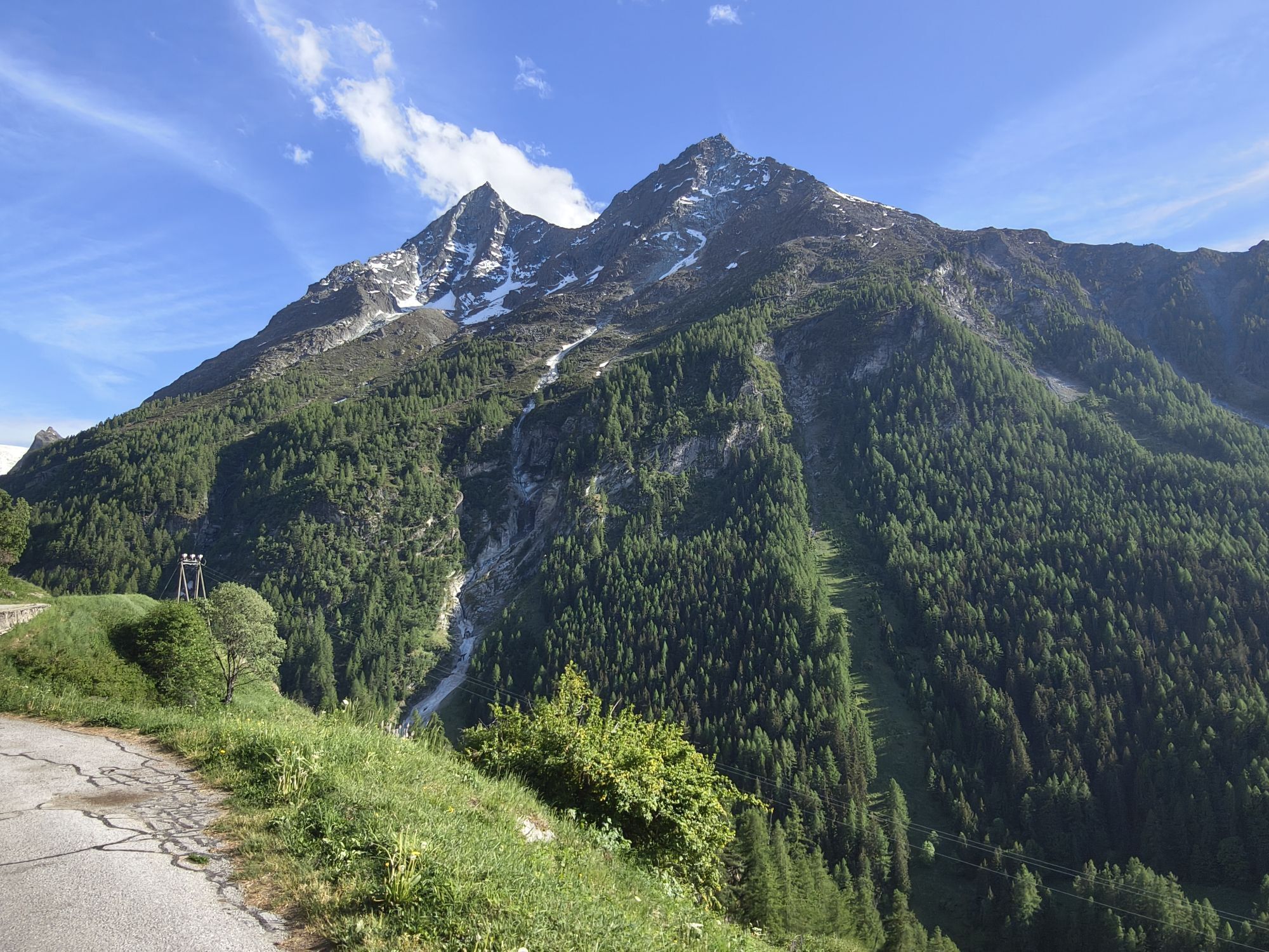
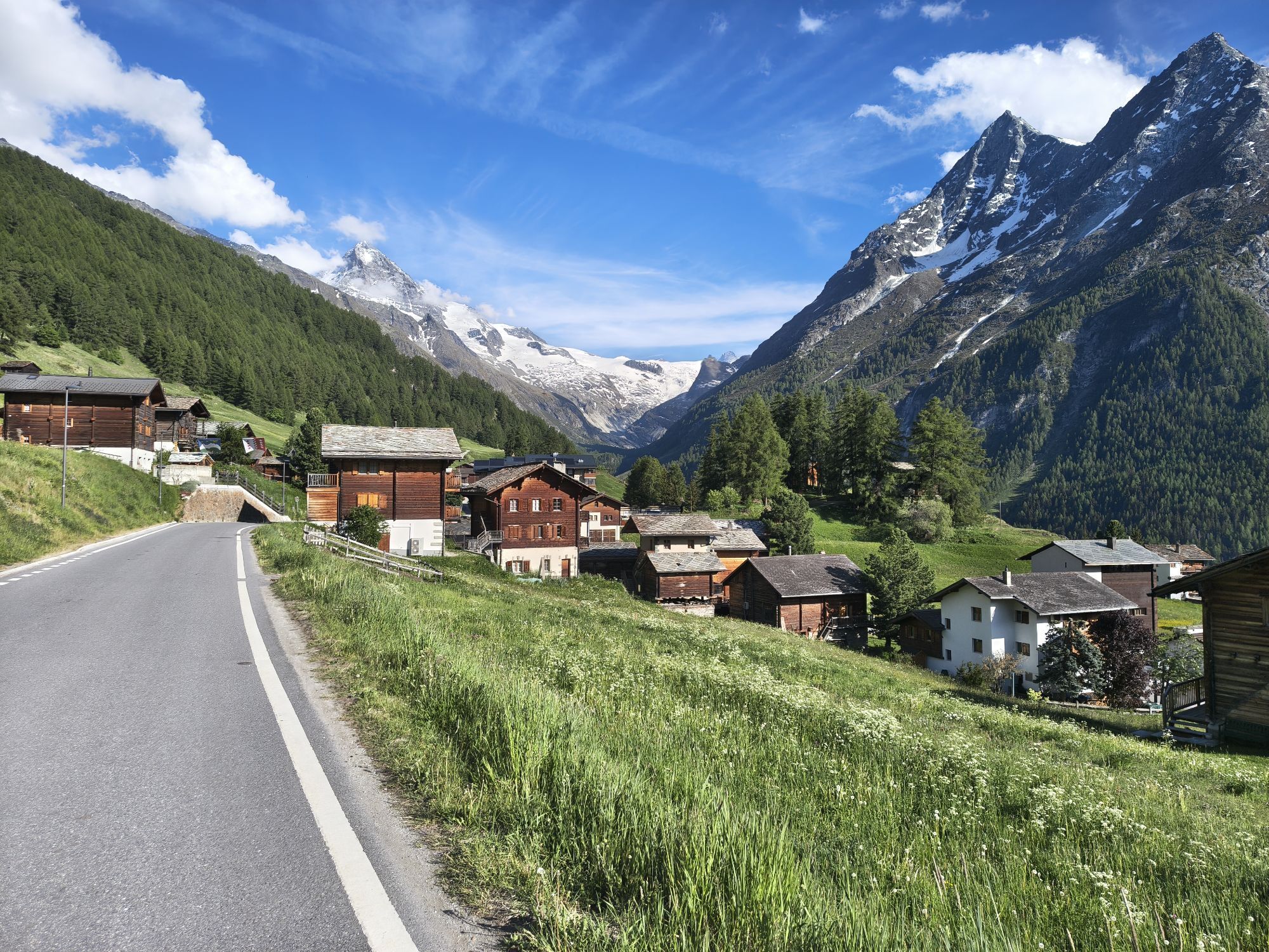
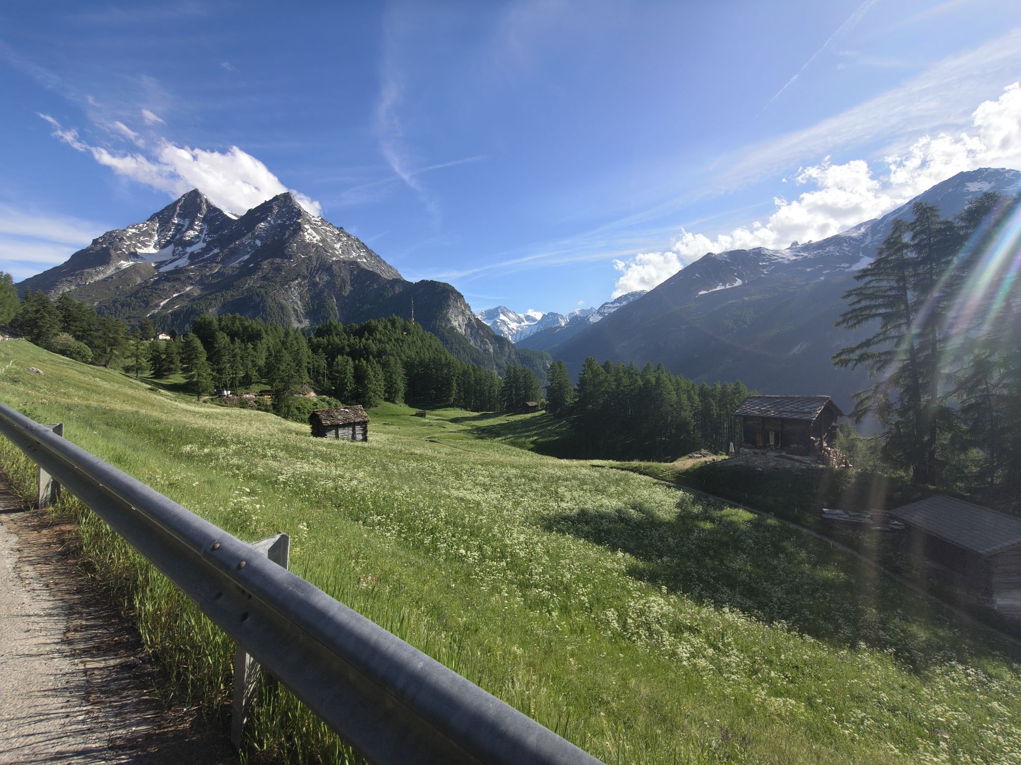
A group of well-preserved historic villages forms the heart of the upper Val d'Hérens. The two largest villages, Evolène and Les Haudères, lie between pasture land in the valley floor. The three other...
A group of well-preserved historic villages forms the heart of the upper Val d'Hérens. The two largest villages, Evolène and Les Haudères, lie between pasture land in the valley floor. The three other villages La Forclaz, La Sage, and Villaz lie on terraces about 300 meters higher. The villages have lovingly restored historic wooden chalets and barns, which they decorate impressively with flowers in summer. Evolène was voted the most beautiful village in French-speaking Switzerland in 2012 and, like Les Haudères, is among the historically protected places in Switzerland. Surrounded by alpine pastures and fragrant forests, they have retained their historic charm over the years. The pasture land around the villages is the original home of the black Eringer cows, whose name derives from this origin. They have become a well-known symbol of Valais. The cows establish the herd hierarchy through fights – hikers can often observe this natural spectacle on the alpine pastures. Besides natural fights, organized cow-fighting events also take place, offering a social gathering with raclette enjoyment, an experience for locals and tourists alike.
Highlights of the hike:
Historic villages with sun-weathered wooden houses and barns. The hike covers two altitude levels – from the valley floor to the sunny terraces of the villages La Sage and Villaz 300 meters above. The cultural heart of the valley: farmer’s markets with crafts and traditional costumes.
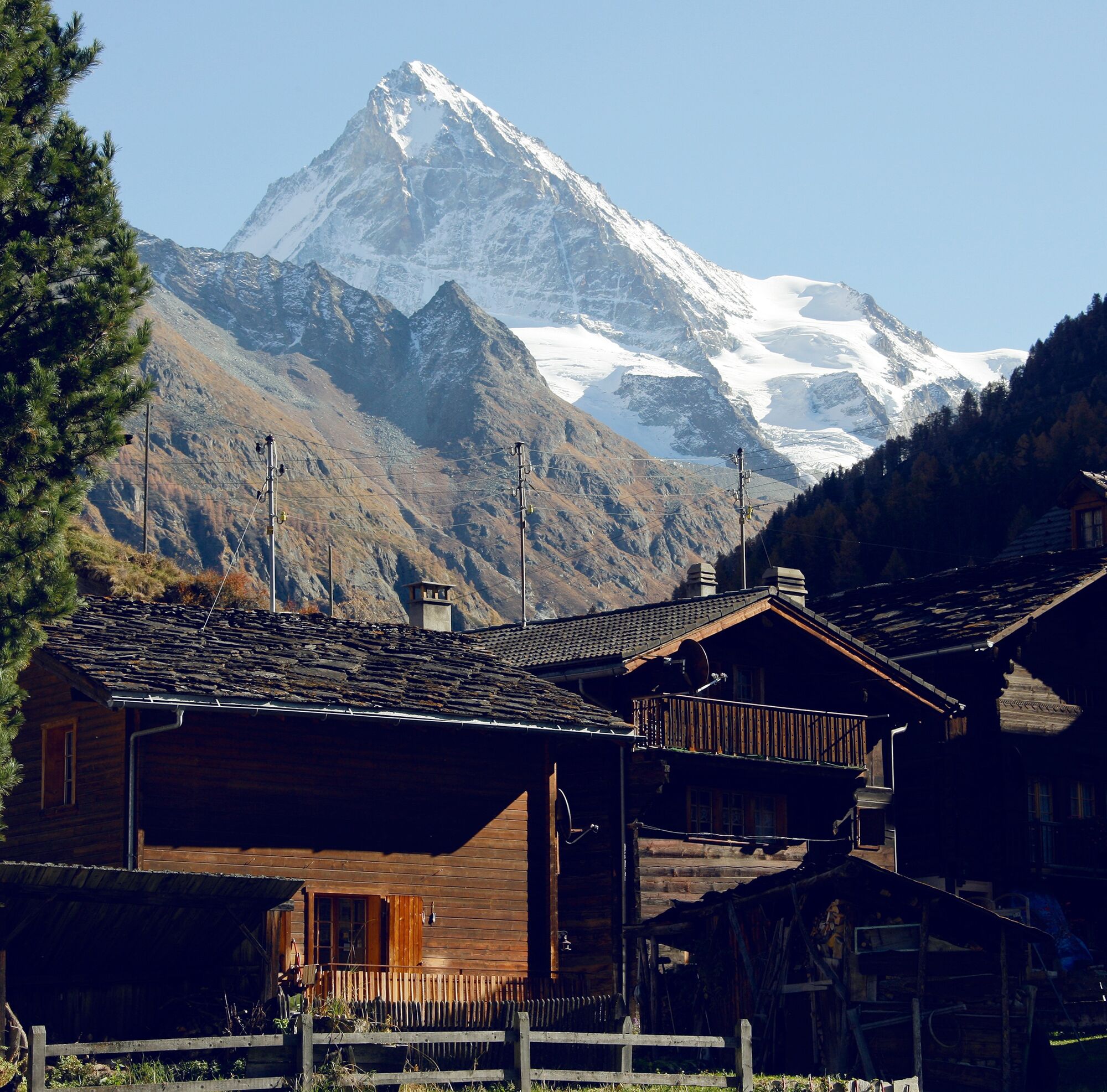
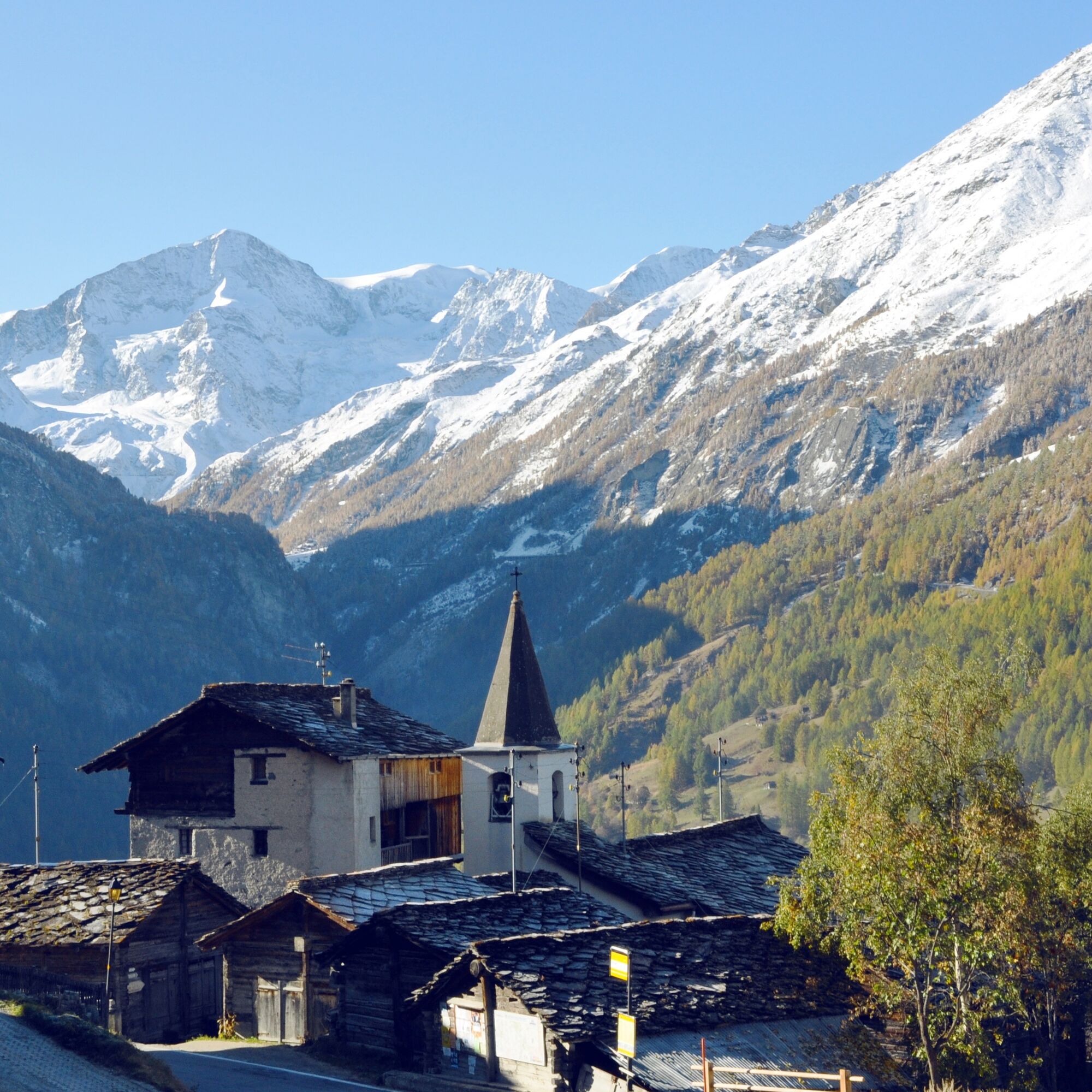
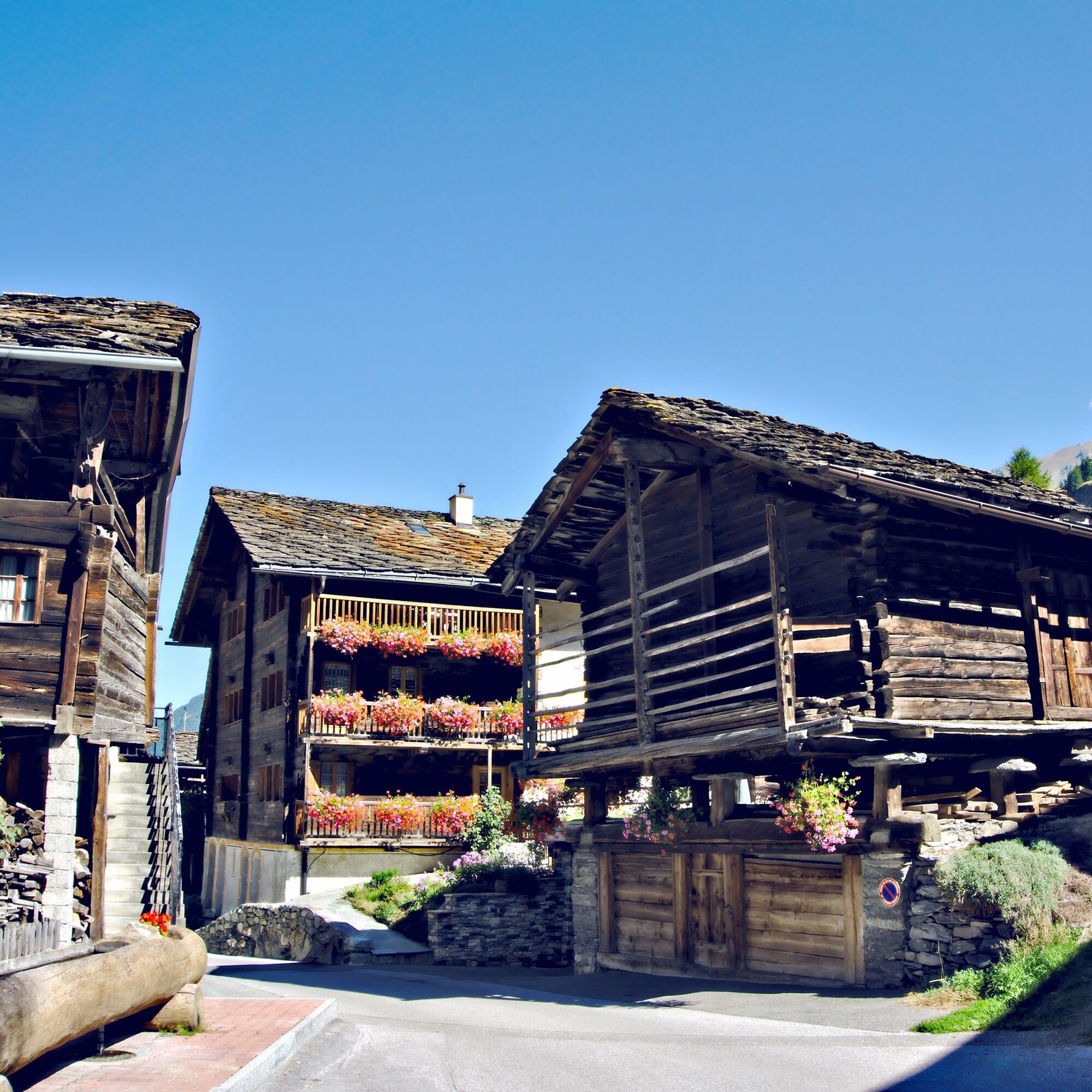

The route of the villages leads counterclockwise from Evolène through the villages of the Val d'Hérens. The direct path to Les Haudères leads along the trail southwards out of the village. After crossing the La Borgne stream, you hike along the western bank uphill to Les Haudères. From here, the trail zigzags up to La Forclaz before descending northwards through the villages of La Sage and Villaz. From there, the path continues winding down towards the valley floor back to the starting point in Evolène.
Da
Da
We recommend:
Good footwear Weather-dependent clothing: always carry a waterproof vest Headwear Sunscreen Water bottle Picnic Camera Binoculars (optional) Hiking poles (optional) Printout of the hiking trail (click "Print" to download)For some hikes:
SwimsuitThe mountains, a place of joy to share and respect. The mountain world is a place to meet and create unforgettable moments together – whether by bike or on foot. For everyone to benefit, it is essential to share this space with respect for nature and agriculture. Respectful behavior allows all to enjoy their leisure activities under the best conditions. Inform yourself about recommendations and rules. Assess your own skills and fitness well. Using the different routes is always at your own risk.
For all hikes:
Carry a map with you. Download the complete description of the hiking trail with a large-scale map by clicking “Print” at the top right of the page. Use only marked hiking trails and observe all signs and instructions—for your own safety, for the protection of grazing animals, and out of respect for wildlife. Close gates behind you after passing. Behave considerately towards other trail users, plants, and animals.For mountain hikes:
Carry additional sun protection. UV rays at altitude can be very strong, even in cloudy weather. Plan your hike carefully: consider the required fitness level of all participants, weather forecasts, and seasonal factors. Weather conditions can change very quickly and without warning in the mountains. Appropriate clothing and sufficient provisions (food and drink) are very important. Return early in case of unstable weather.For high alpine hikes:
Inform your family about your hiking route. If possible, avoid hiking alone. Do not venture onto glaciers without a mountain guide. Observe warning signs indicating dangers at riverbanks, along watercourses below dams and reservoirs: water levels can rise quickly and without warning.Motorway A9, exit 27 (Sion-East). Then follow the signs to Evolène / Les Haudères and Arolla.
Regular train connections from all over Switzerland to Sion. From there, the PostBus via Les Haudères (change required) goes to Evolène. Timetables for trains and PostBuses can be found at sbb.ch.
Various public parking spaces are available in the village of Evolène. Follow the local parking guidance system in Evolène.
View this route on SwitzerlandMobility:
No. 214 Chemin des villages d’Evolène
More information about the destination:
Val d'HérensThe Val d'Hérens is also known for its geology. Using the "GéoGuide Val d'Hérens", available as an app or in printed form, visitors can discover the rocks and minerals on site (www.evolene-geologie.ch). In Les Haudères, visitors can also visit the Centre for Geology and Glaciology with a permanent exhibition.
Pridobite vpogled Vedno v živo na mestu z več kot 9.500 spletnimi kamerami. bergfex Kot uporabnik Pro si lahko zdaj ogledate ustrezne spletne kamere za številne izlete v aplikaciji izleti iz. Tako si lahko neposredno ogledate trenutne razmere. Priljubljeni izleti v okolici
- 3.5
Circular hike to Cabane des Aiguilles Rouges and Lac Bleu
težkoPohodništvo 14.1 km - 5.0
Sentier des bouquetins
srednjaPohodništvo 8.73 km - 4.7
Cleuson Dam
srednjaPohodništvo 11.5 km Tour du Lac de Moiry
srednjaPohodništvo 13.4 km- 4.5
Moiry via ferrata
težkoVia ferrata 2.93 km - 5.0
Zinal - Cabane du Petit Mountet
srednjaPohodništvo 12.0 km - 4.5
Tour of Val d’Anniviers: Zinal–Grimentz (Stage 3)
srednjaPohodništvo 14.5 km Arolla - Vignettes
srednjaSmučarska tura 5.04 kmTour du Val d’Hérens: Grande Dixence dam to Arolla (stage 2)
težkoPohodništvo 17.8 km- 5.0
Tour du Val d’Hérens: Thyon – Grande Dixence (Stage 1)
srednjaPohodništvo 15.8 km
Pohodništvo in sledenje


Ne zamudite ponudb in navdiha za naslednje počitnice
Vaš e-poštni naslov je bil dodan na poštni seznam.





