







Mattmark Challenge - 8K Lake Round

Stopnja težavnosti: T1
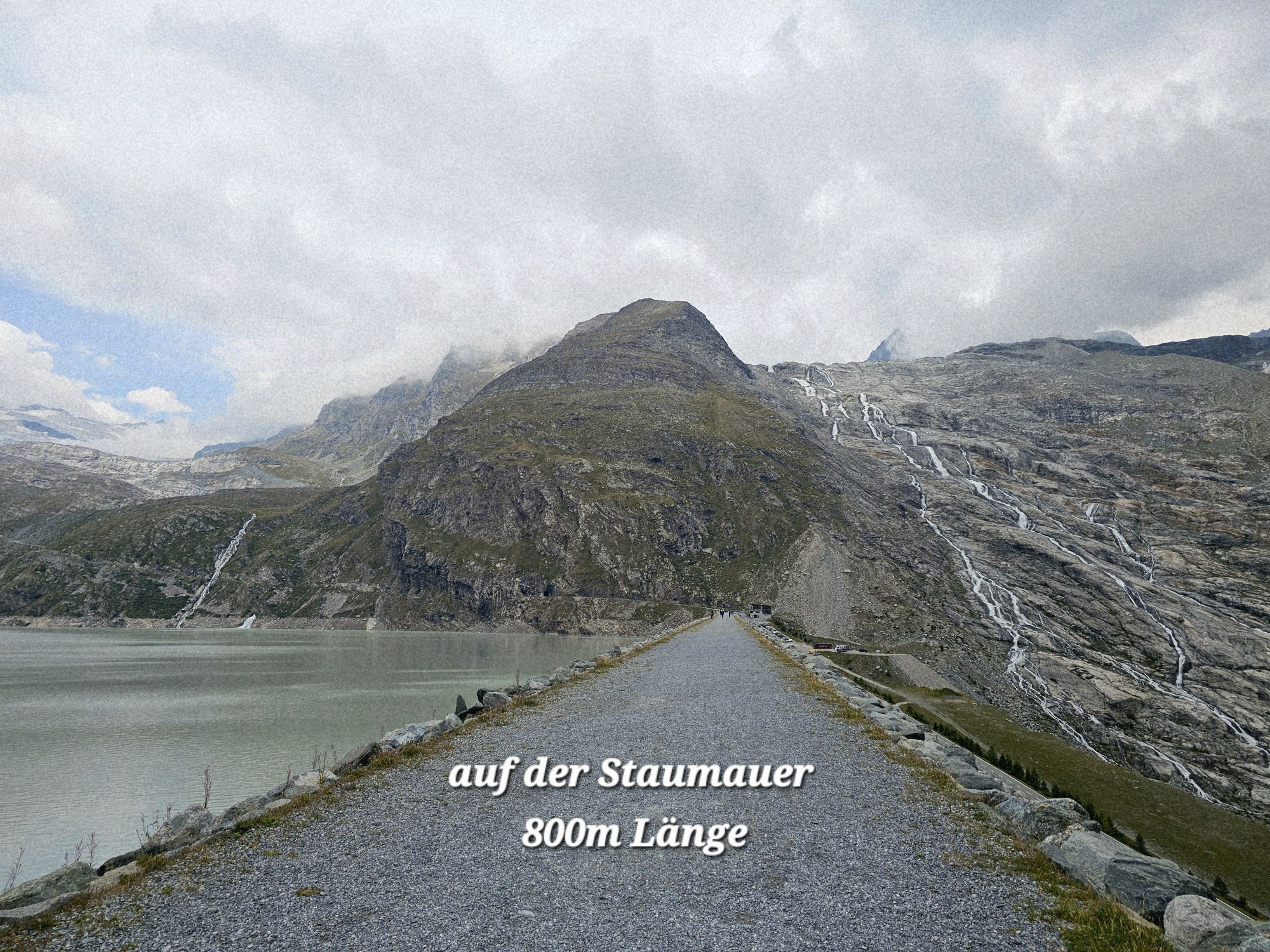
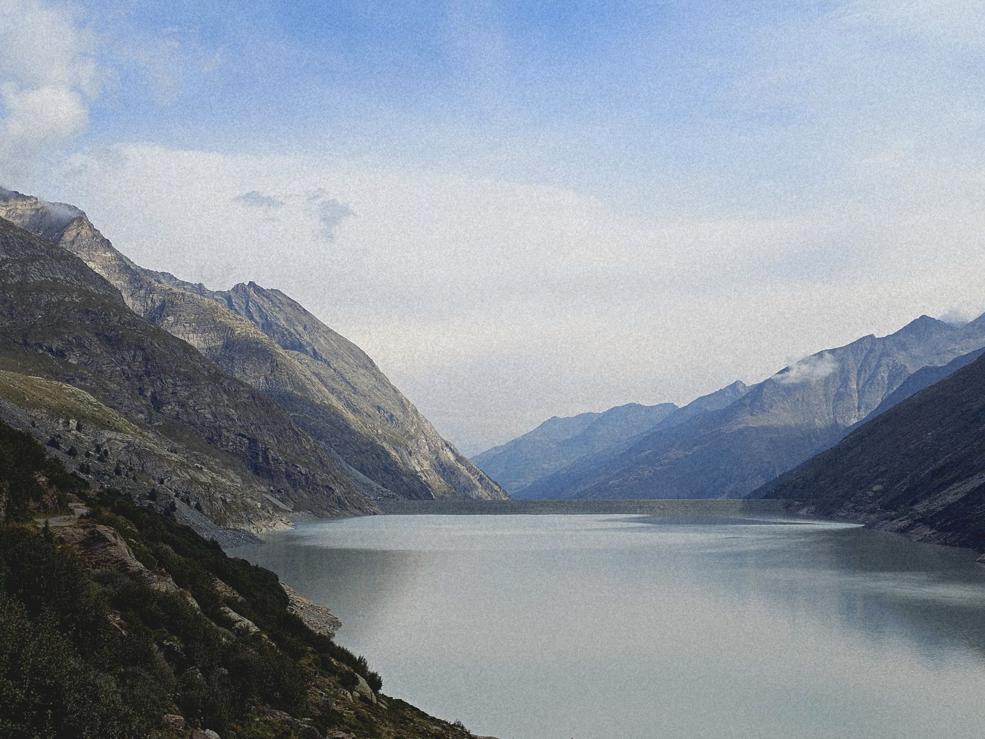
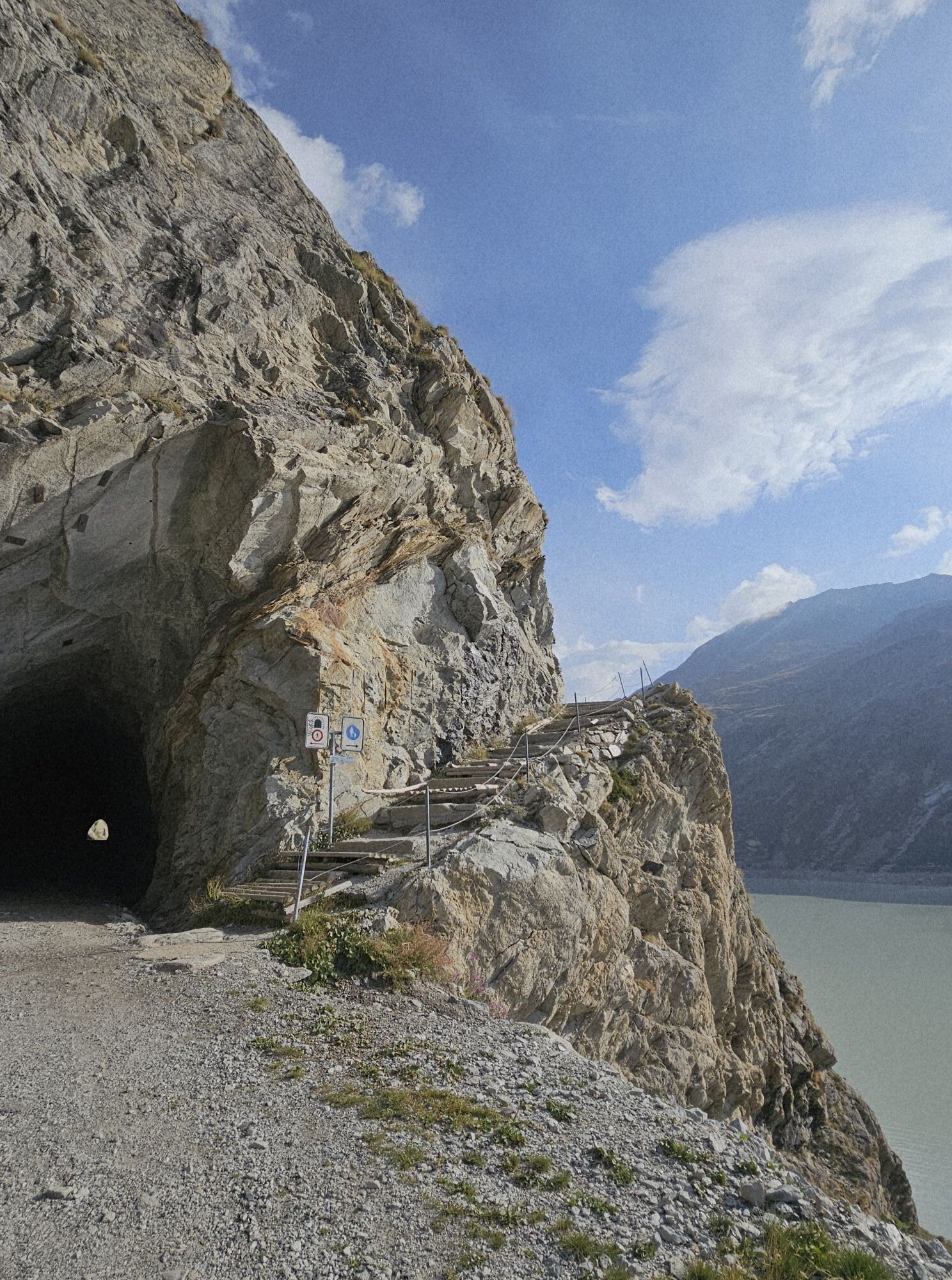
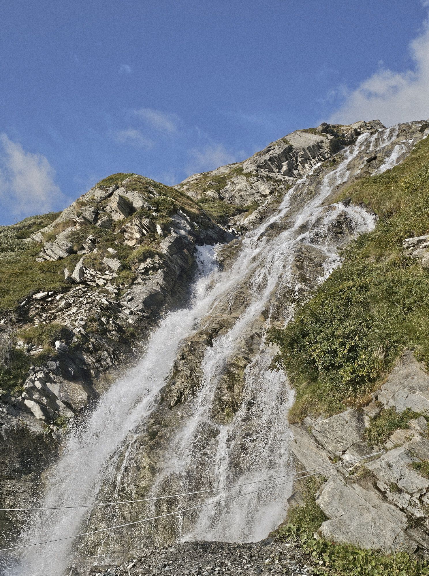
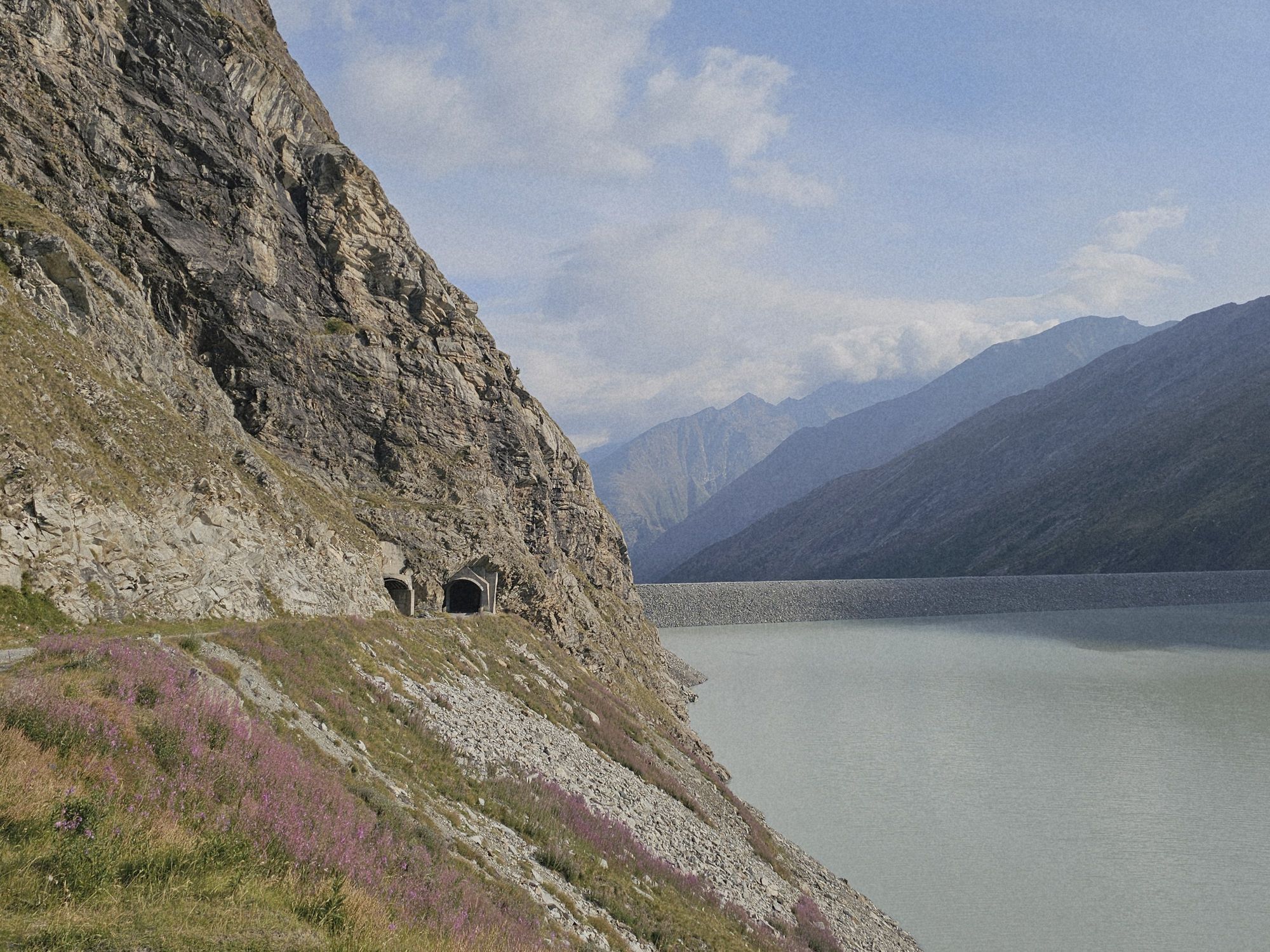
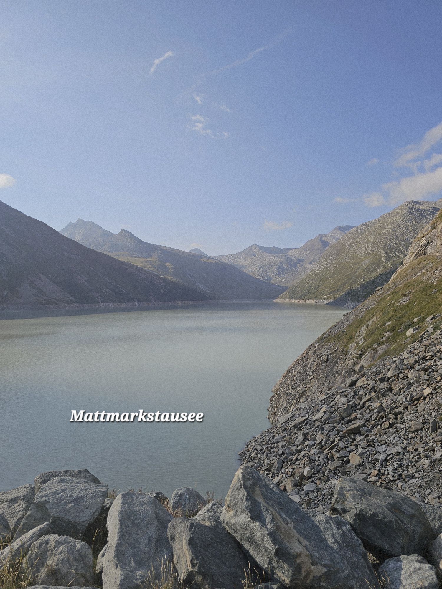
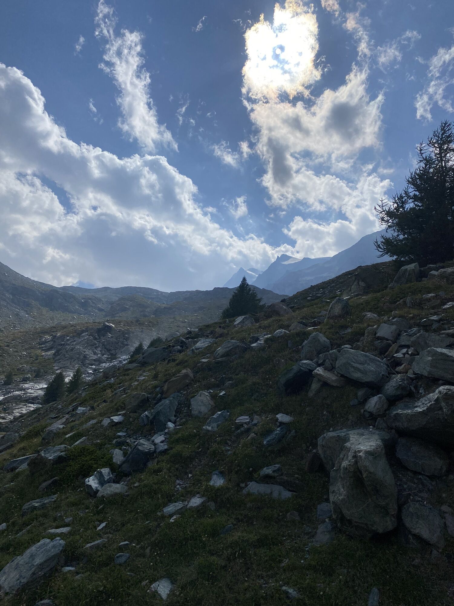
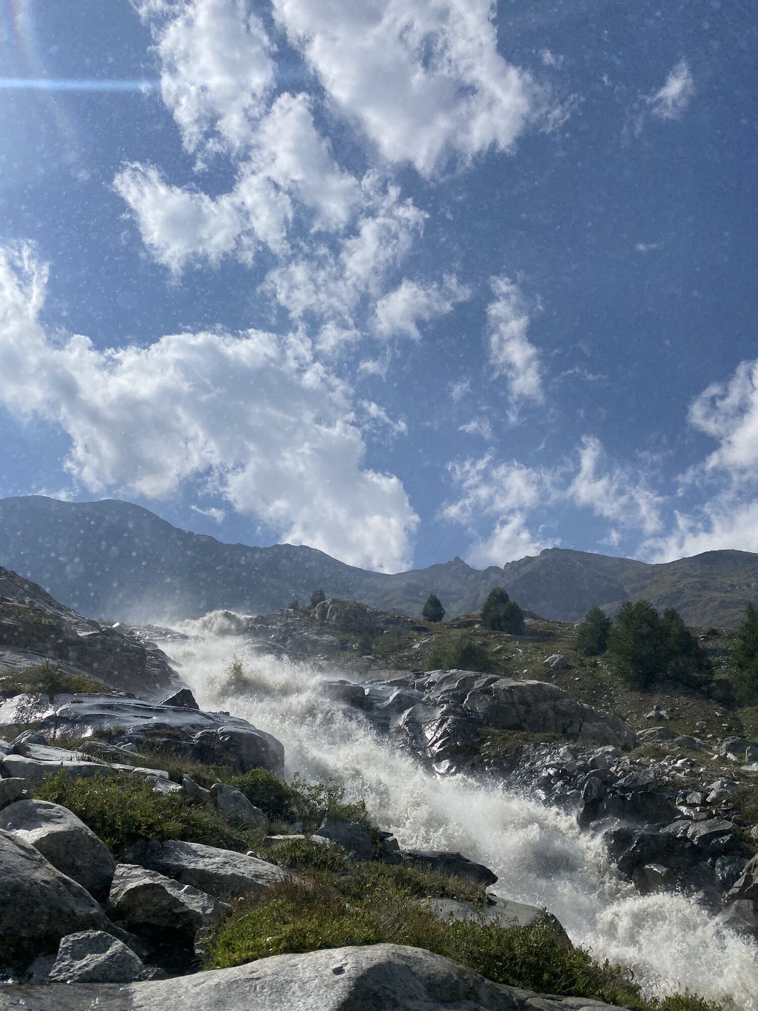
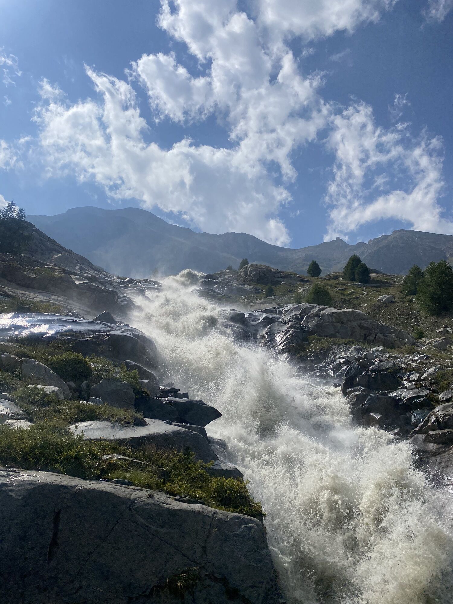
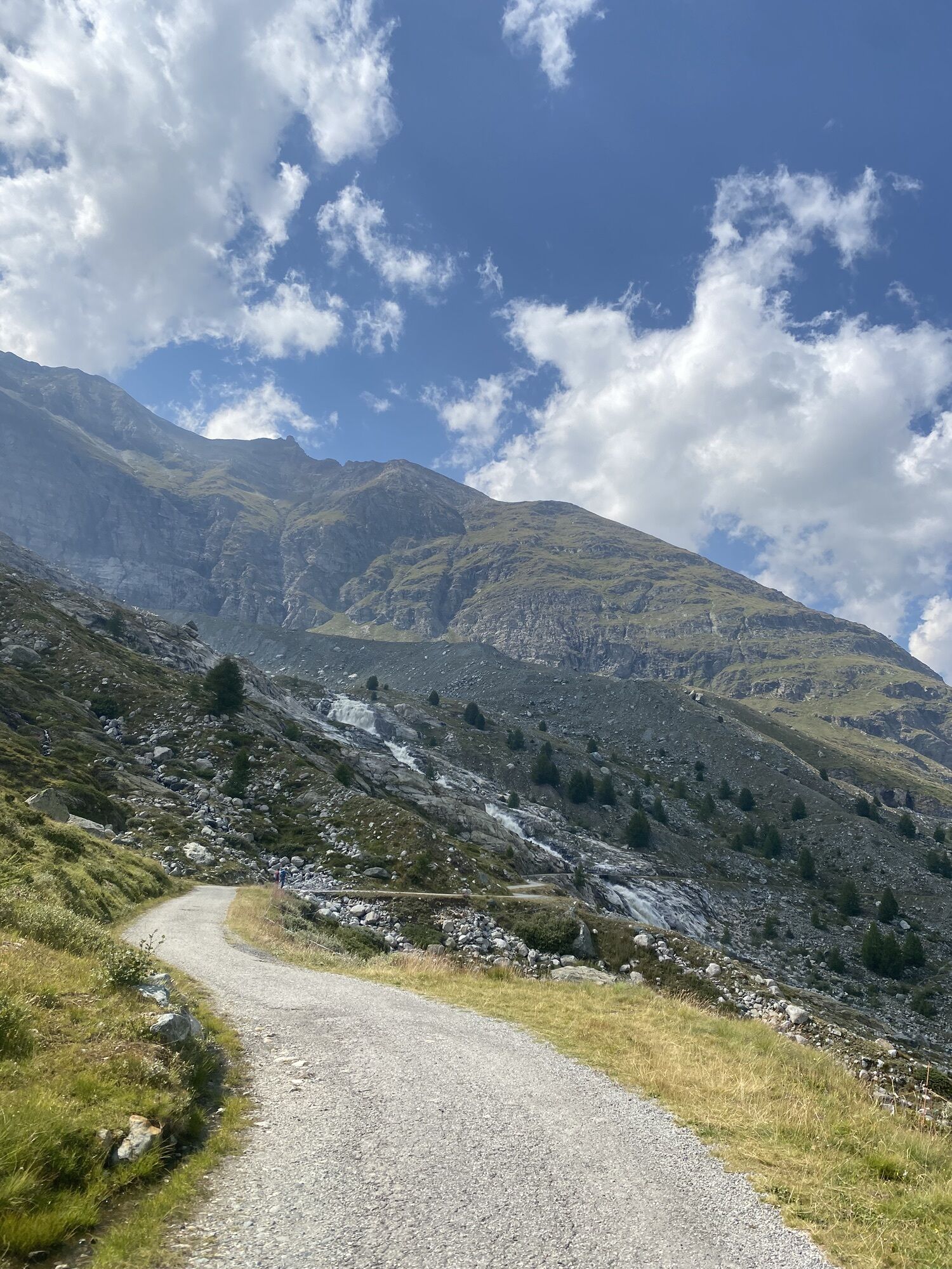
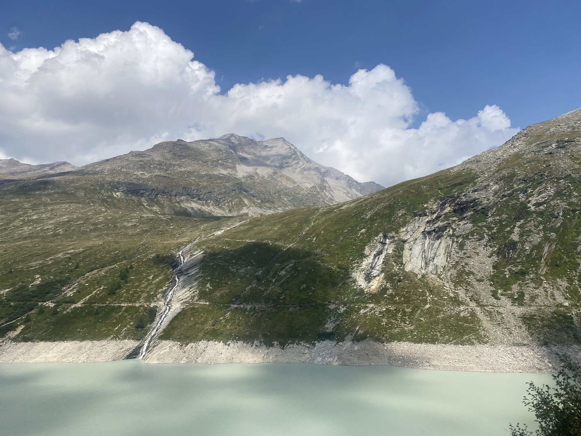
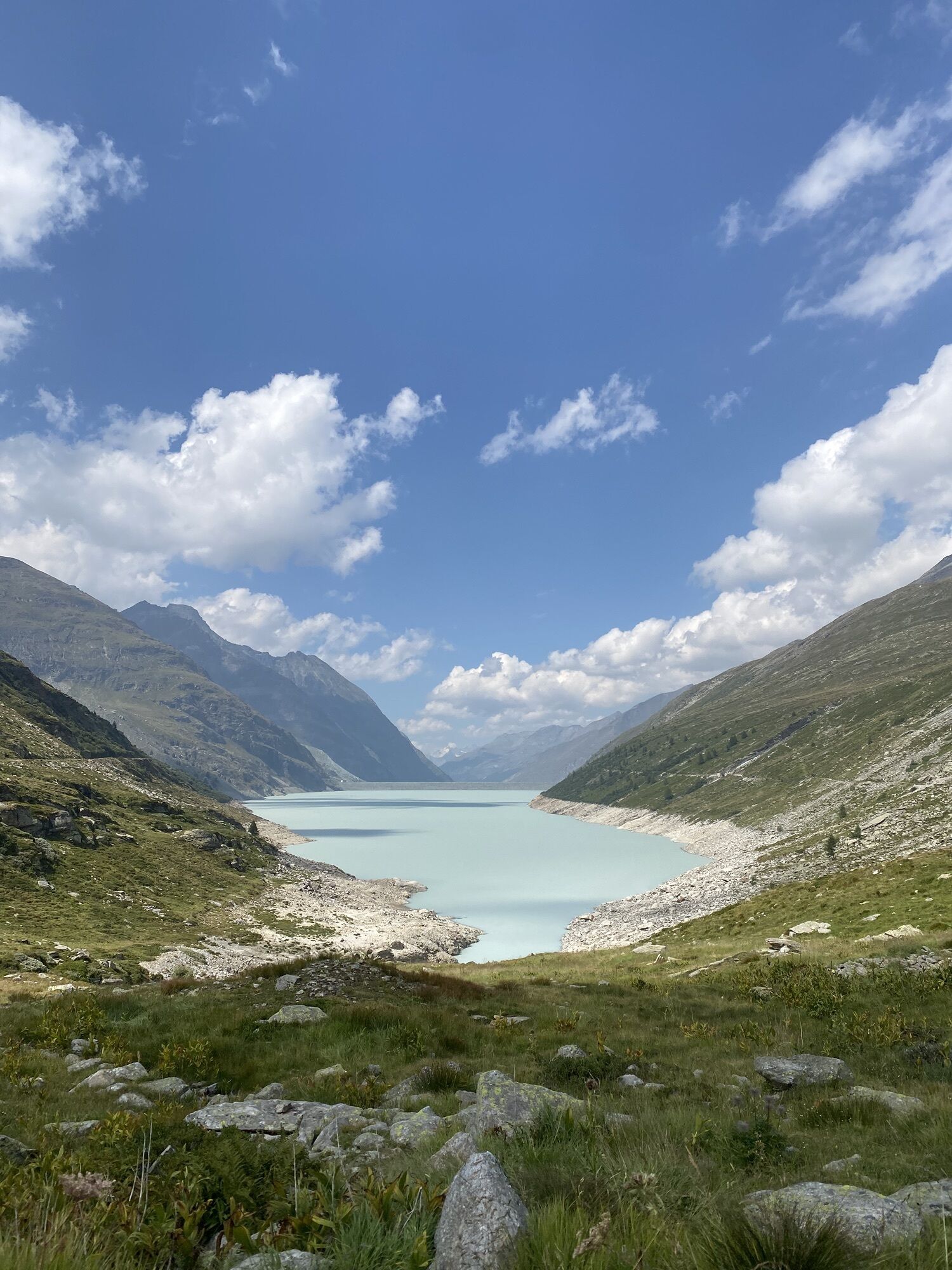
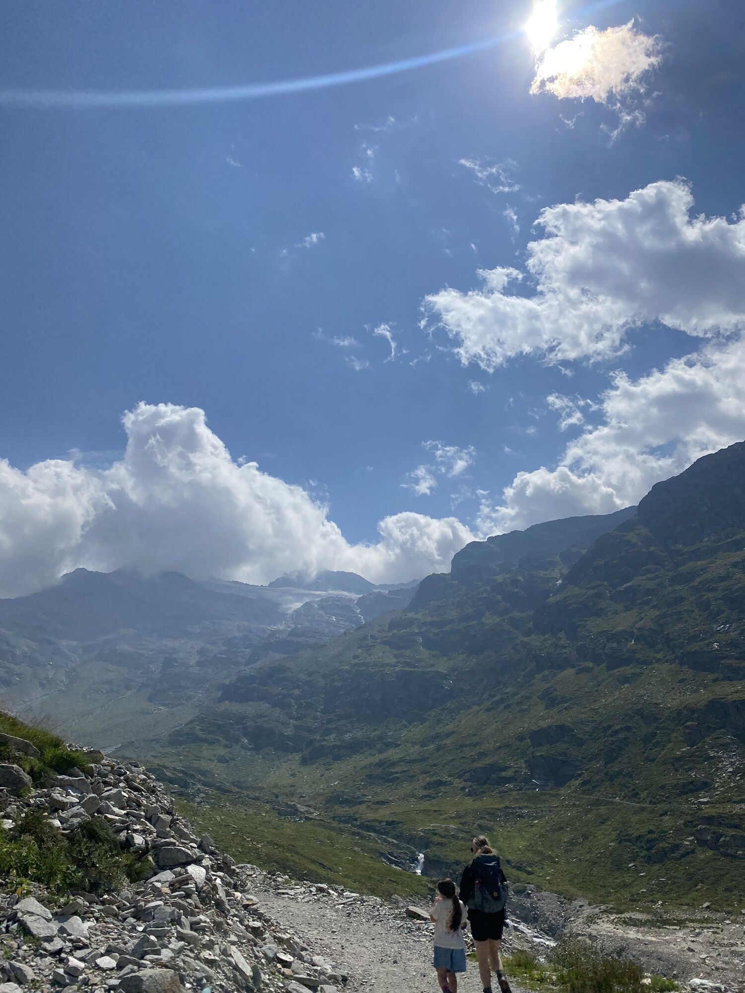
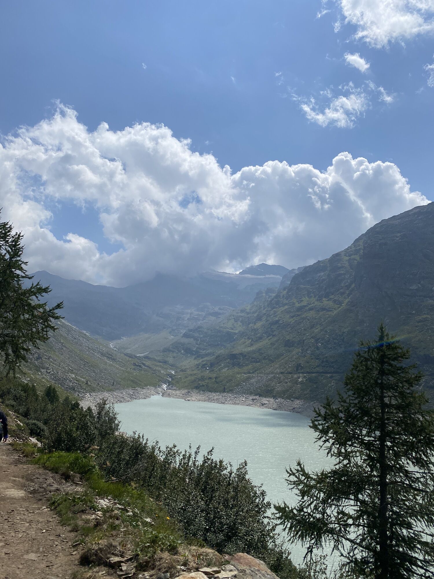
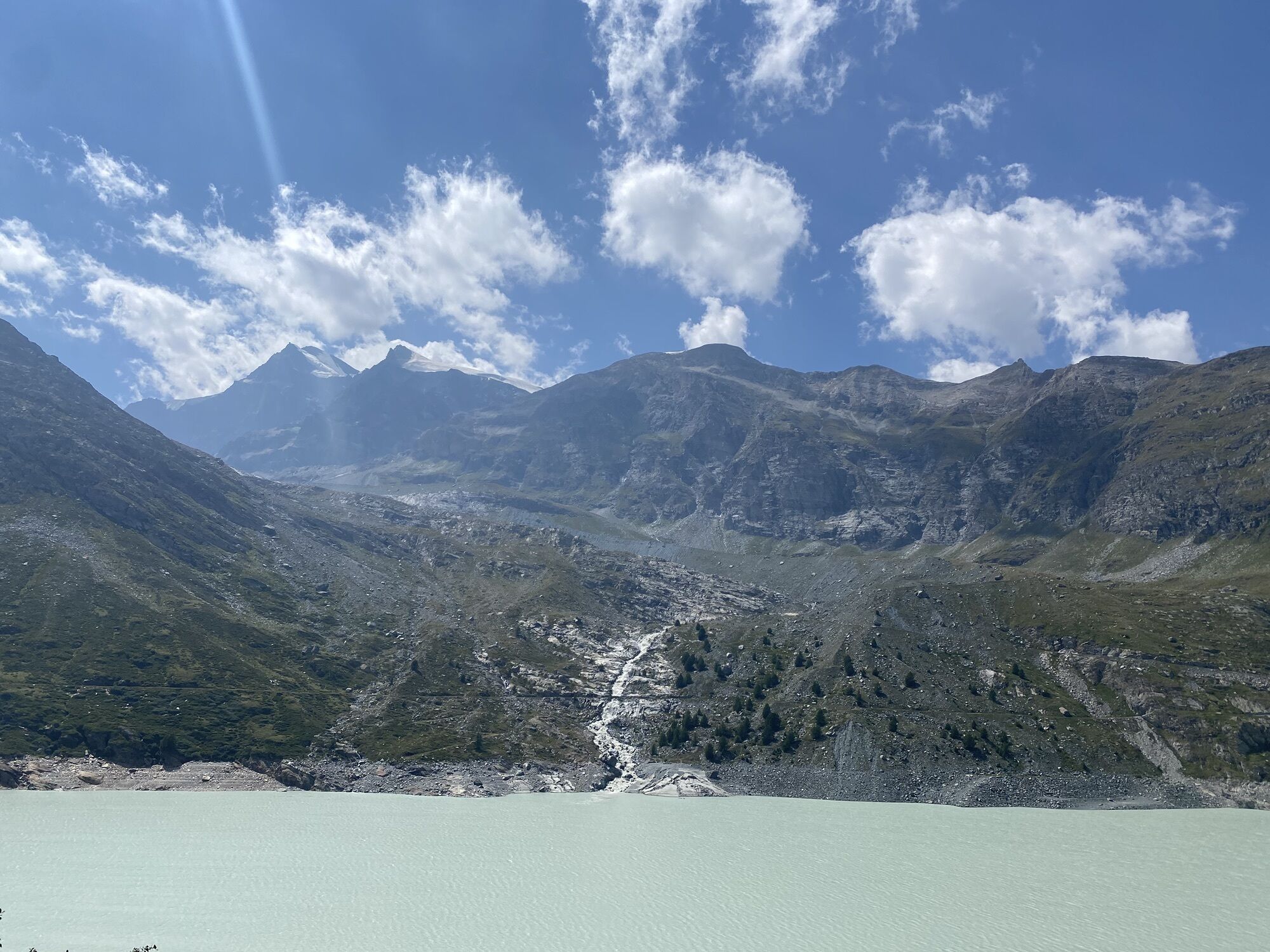
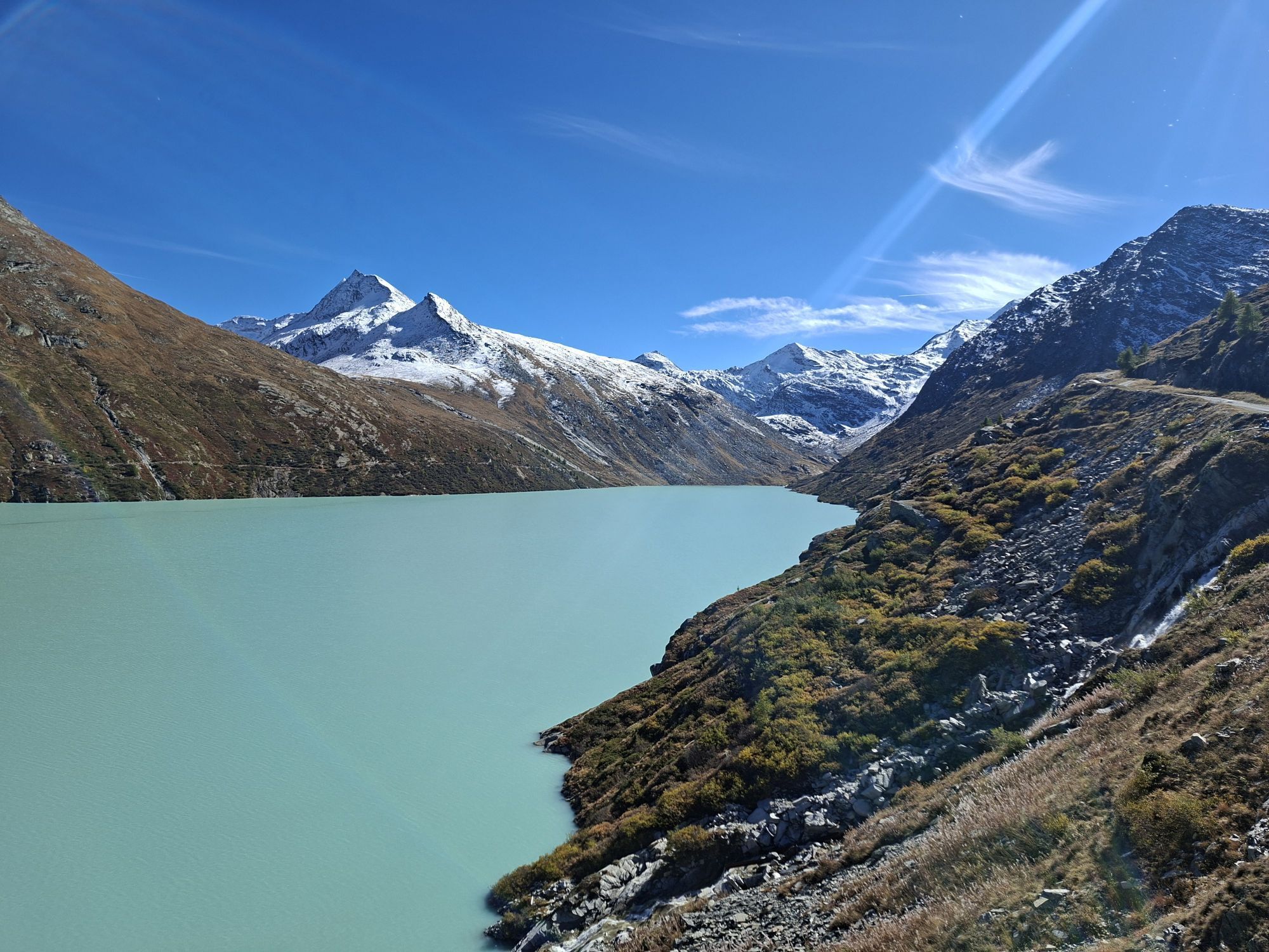
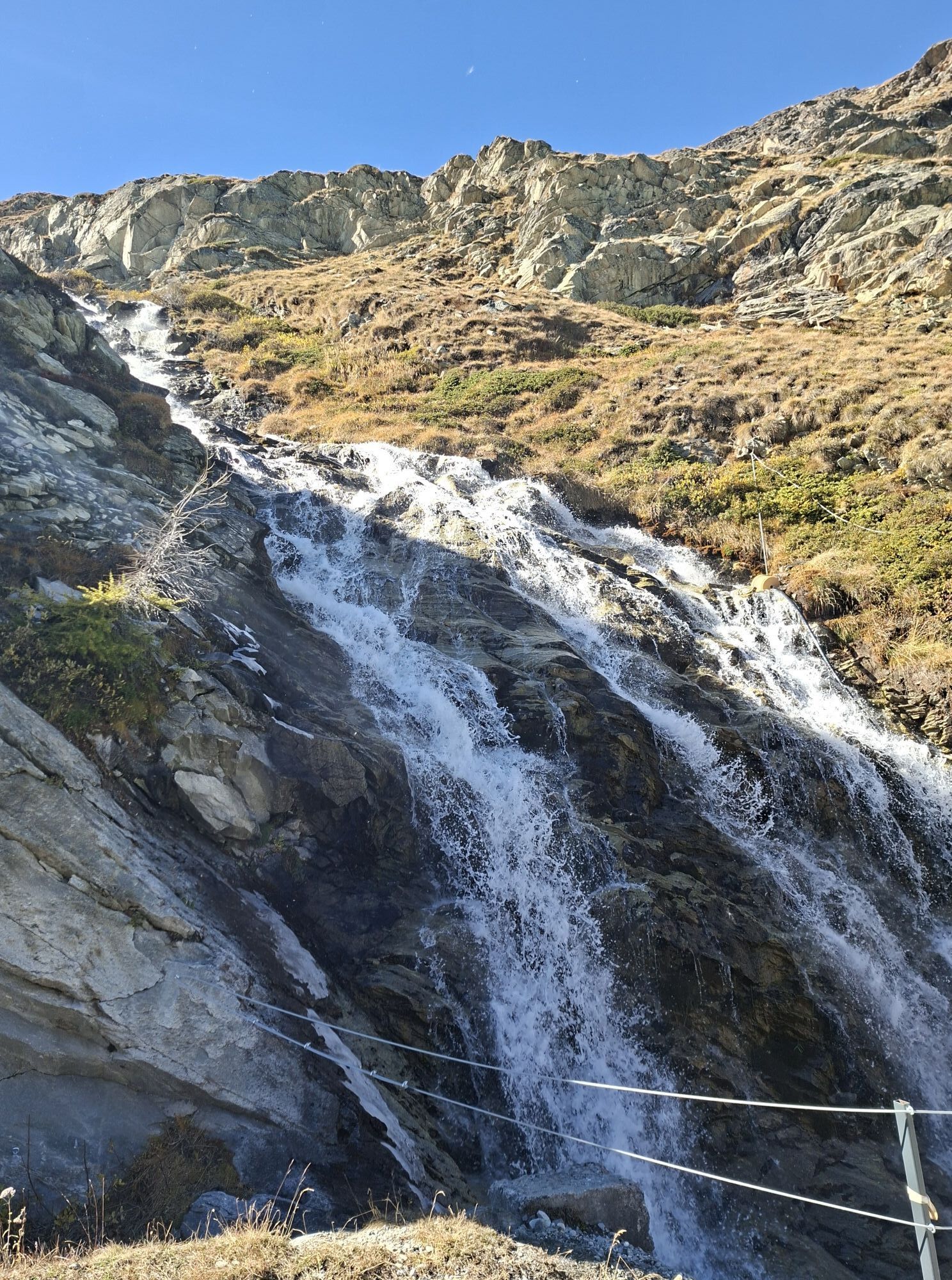
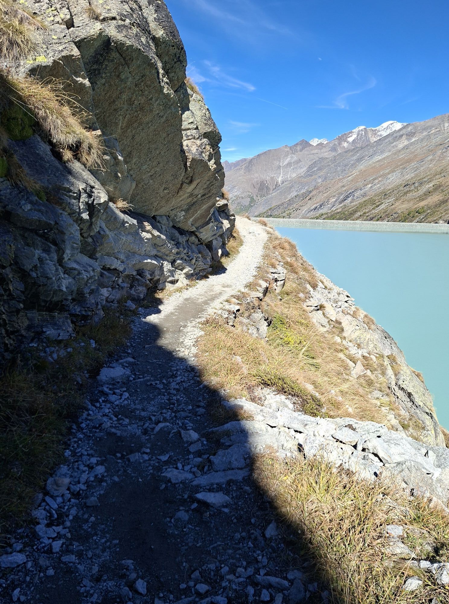
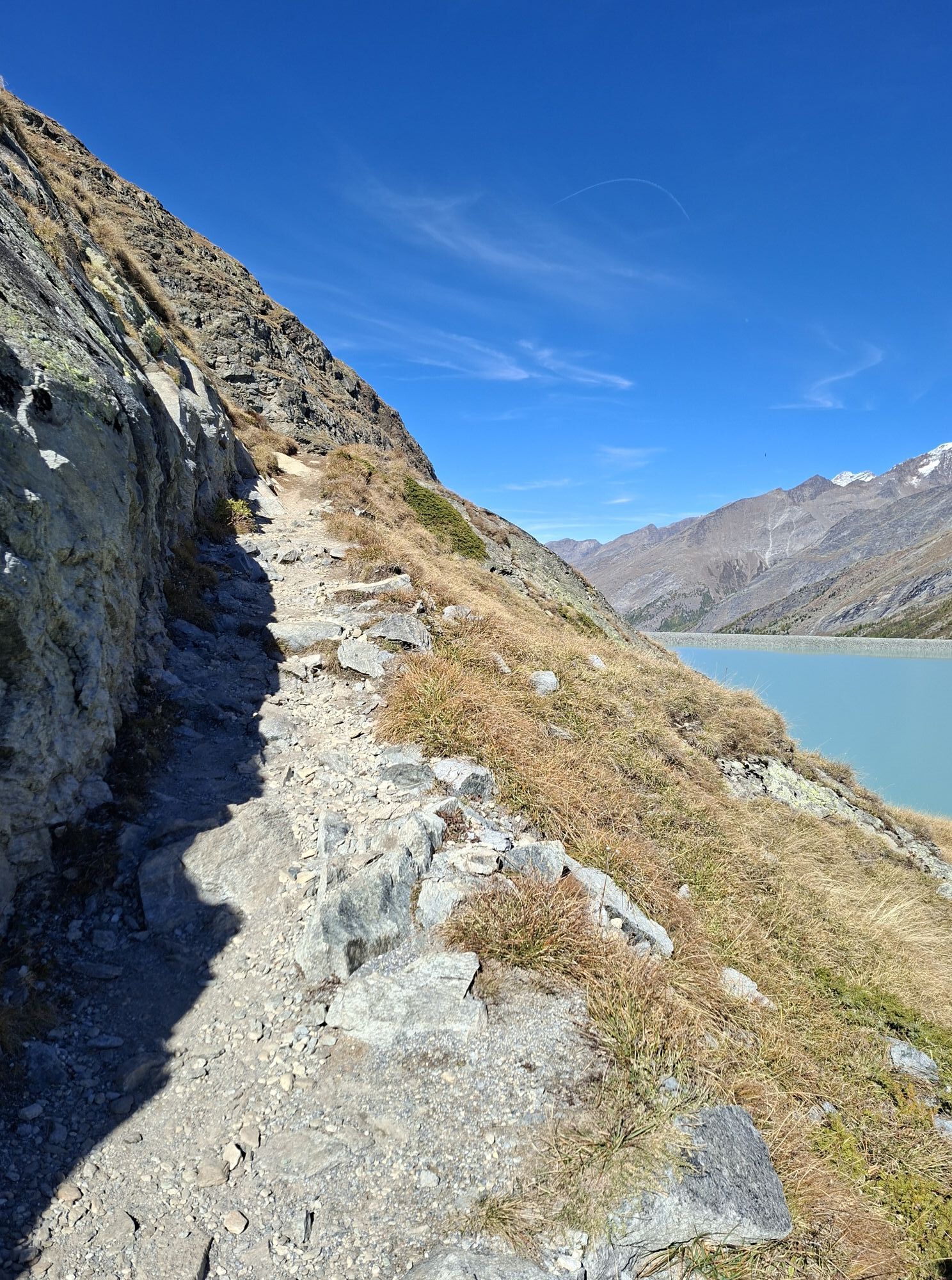
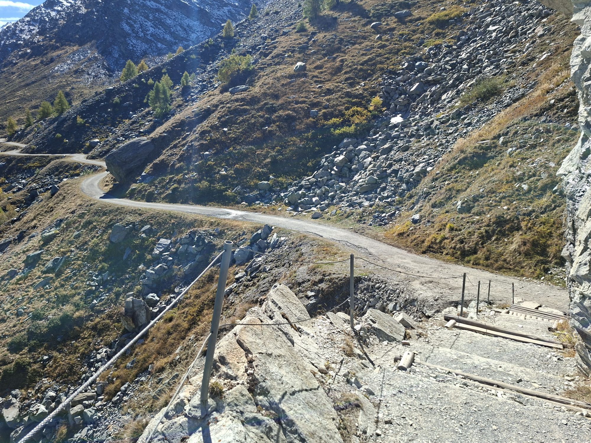
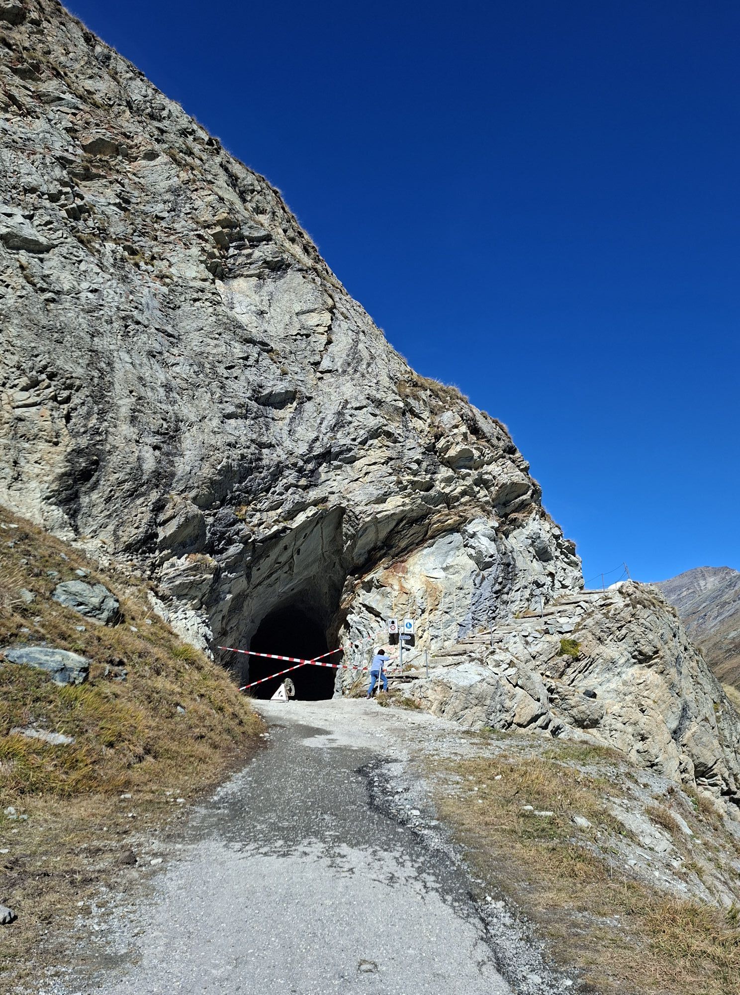
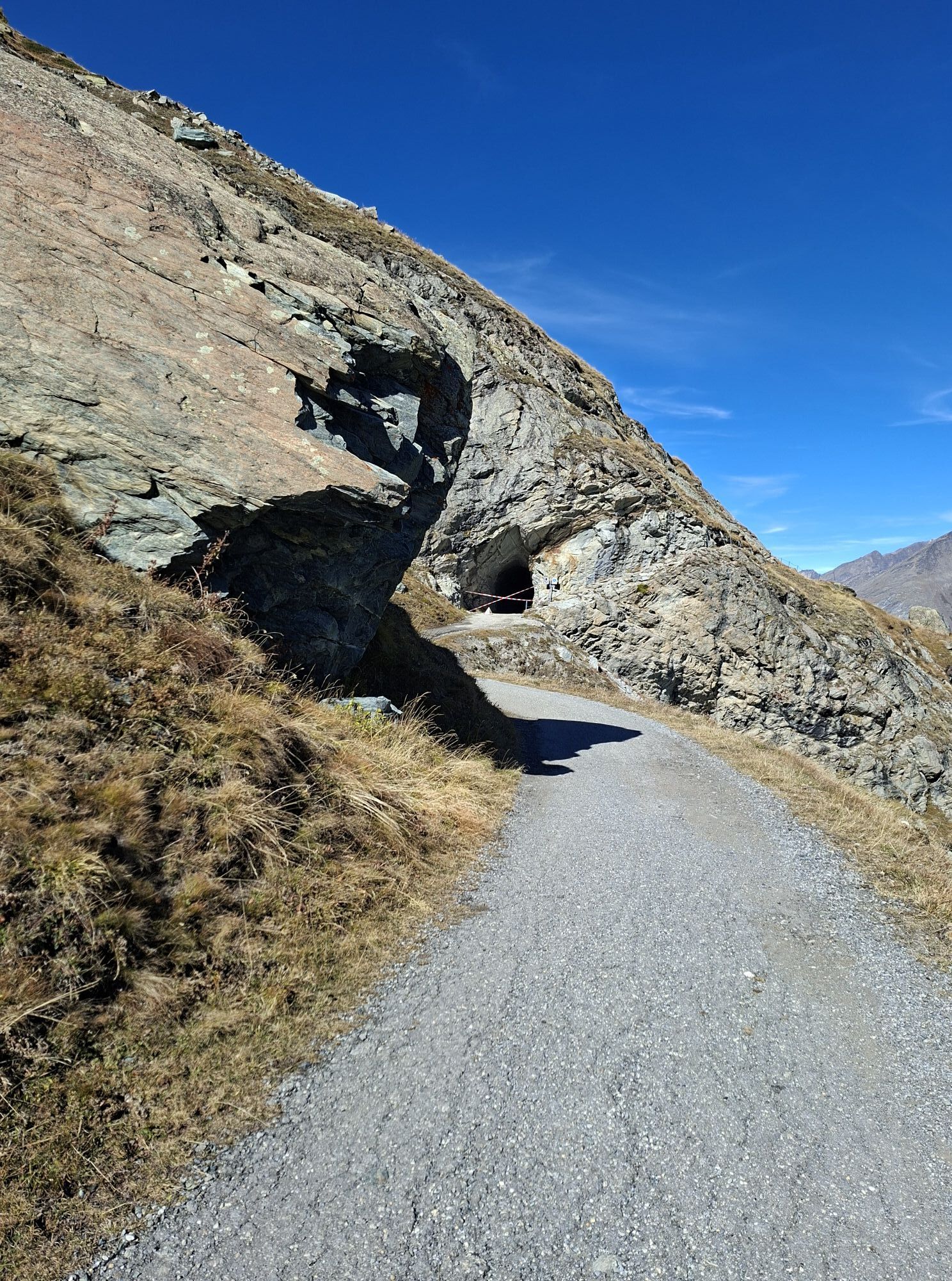
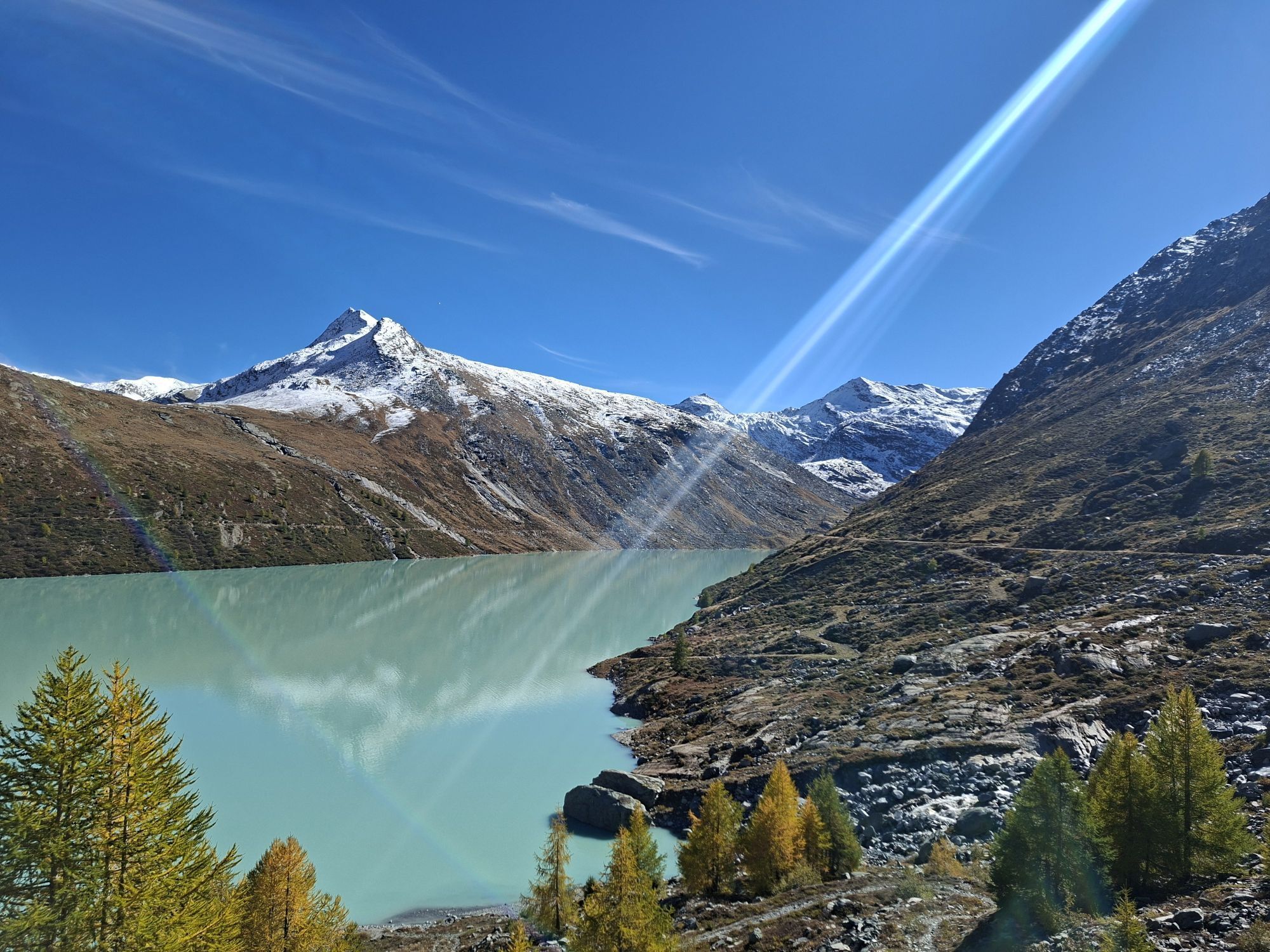
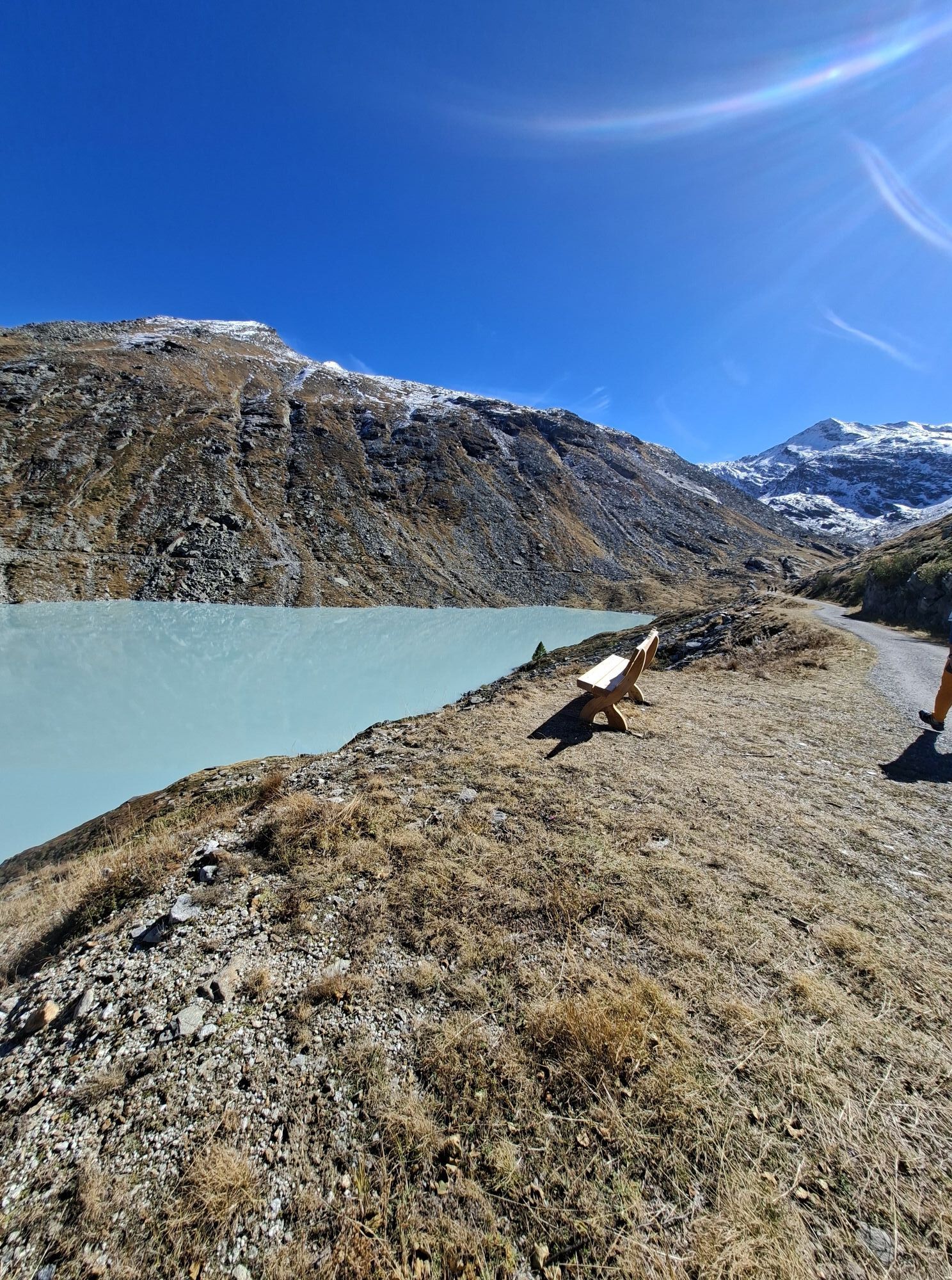
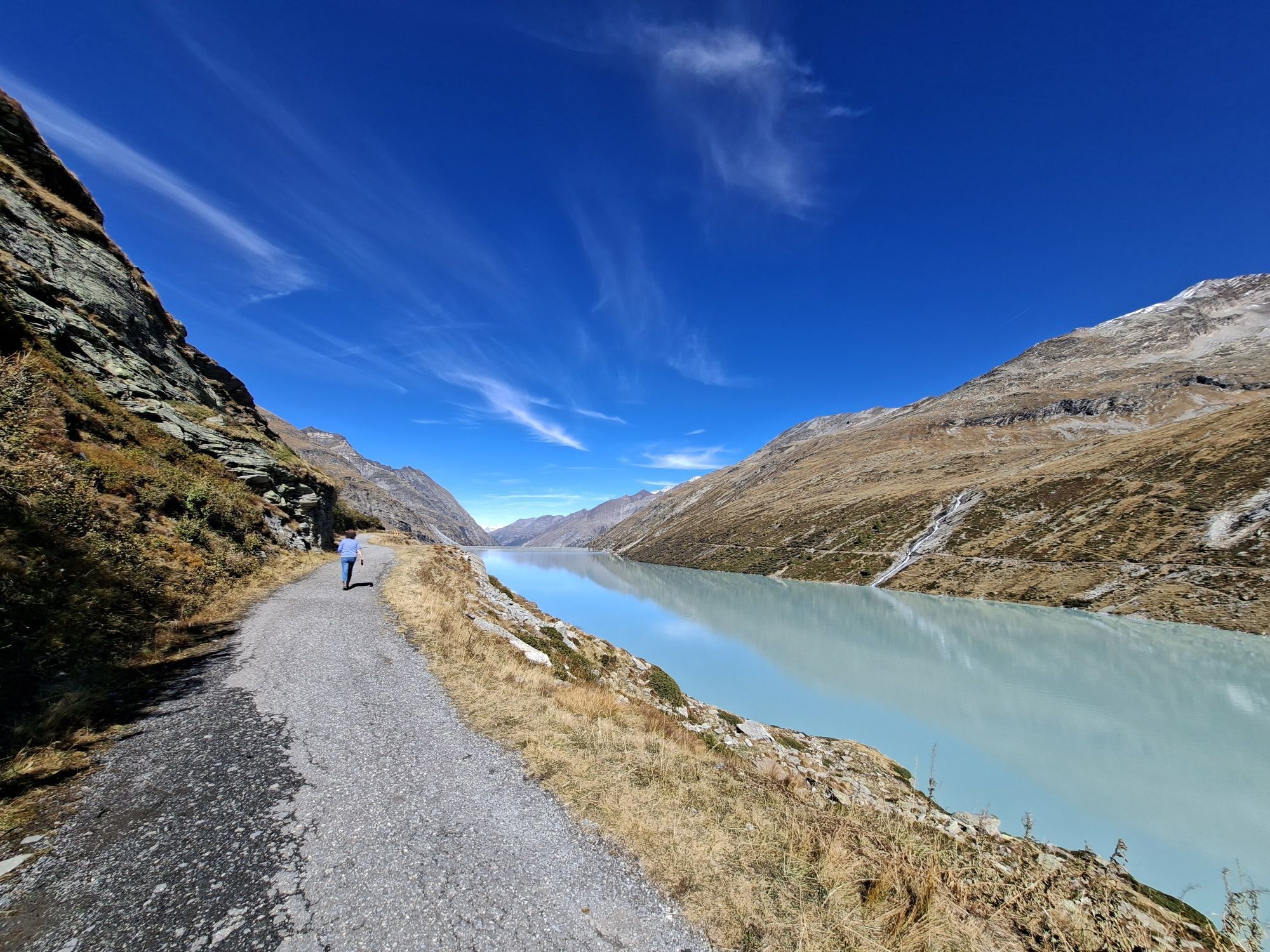
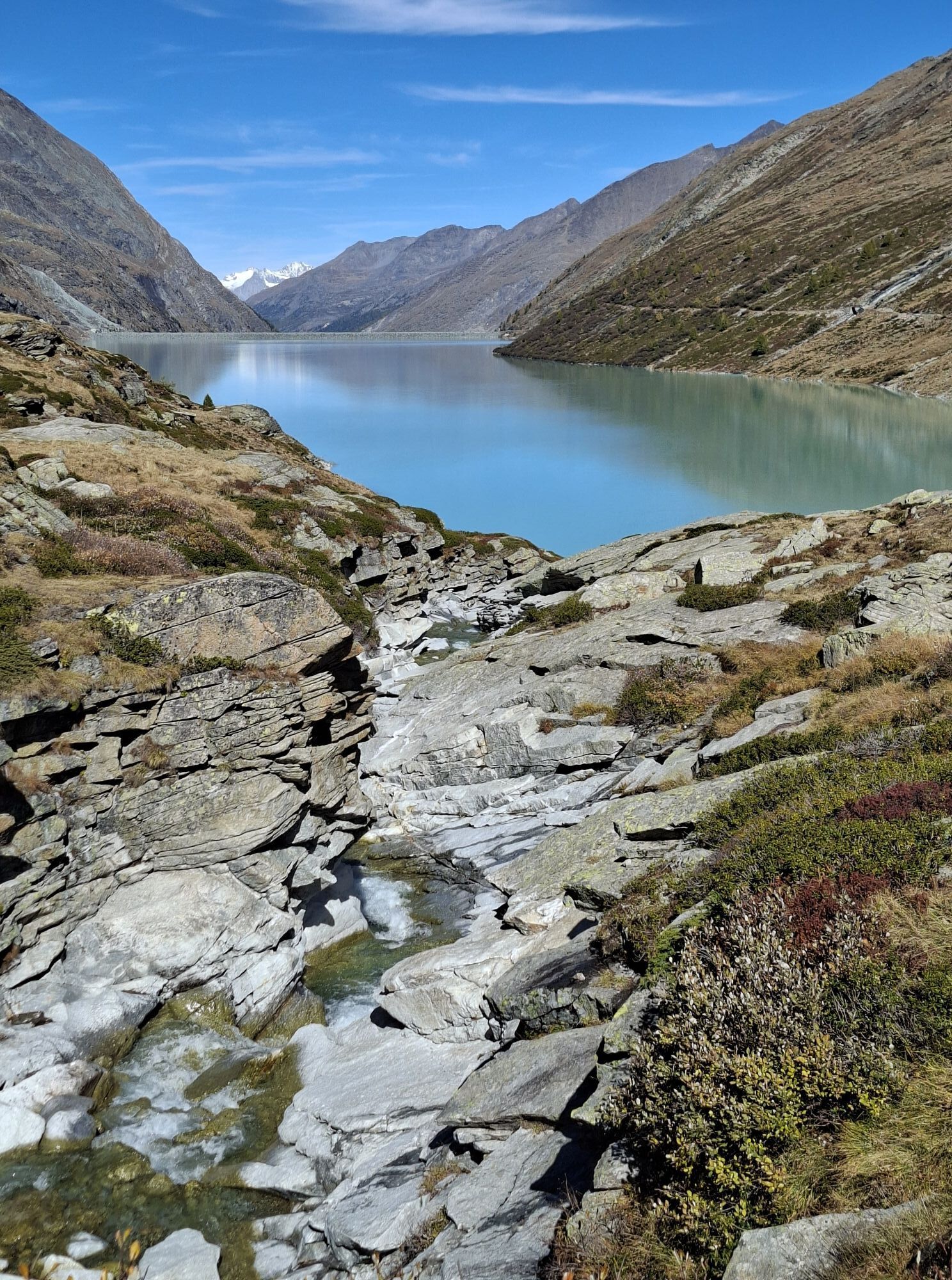
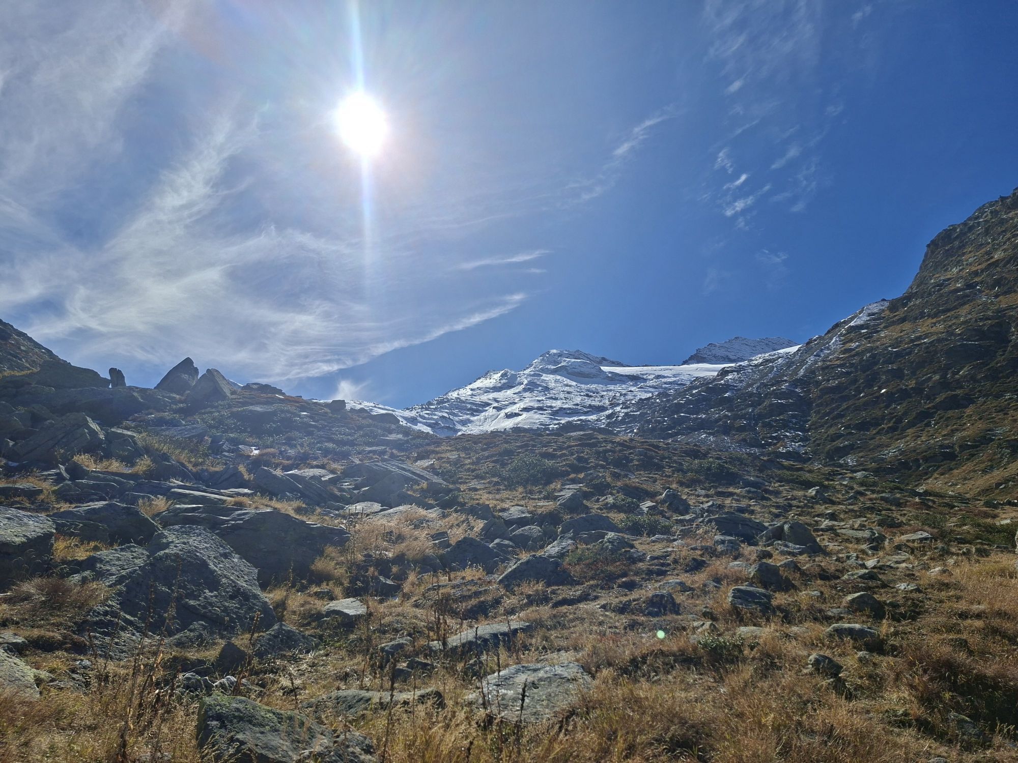
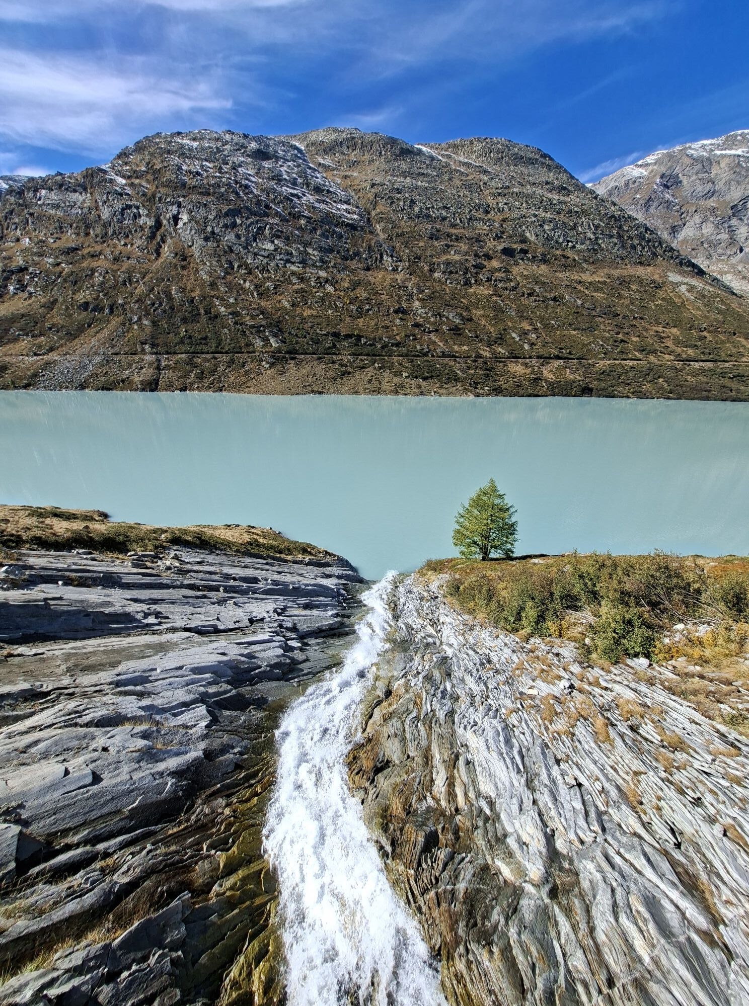
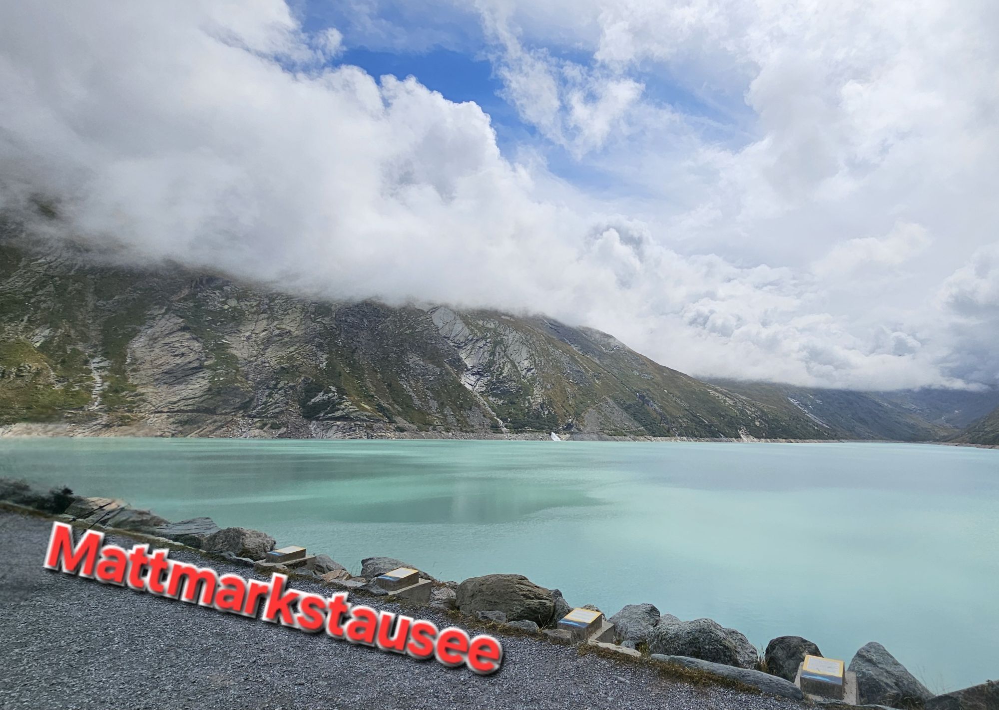
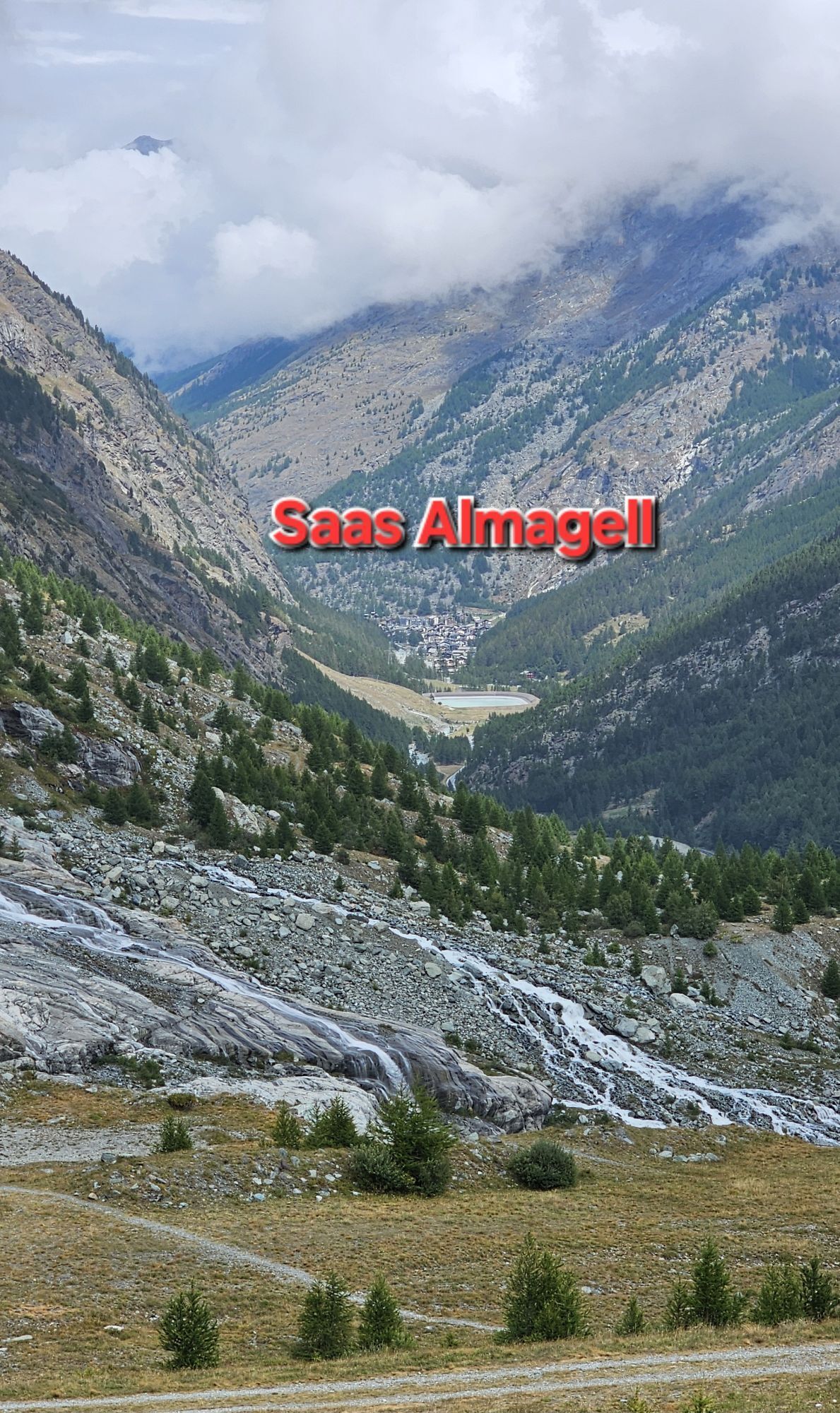
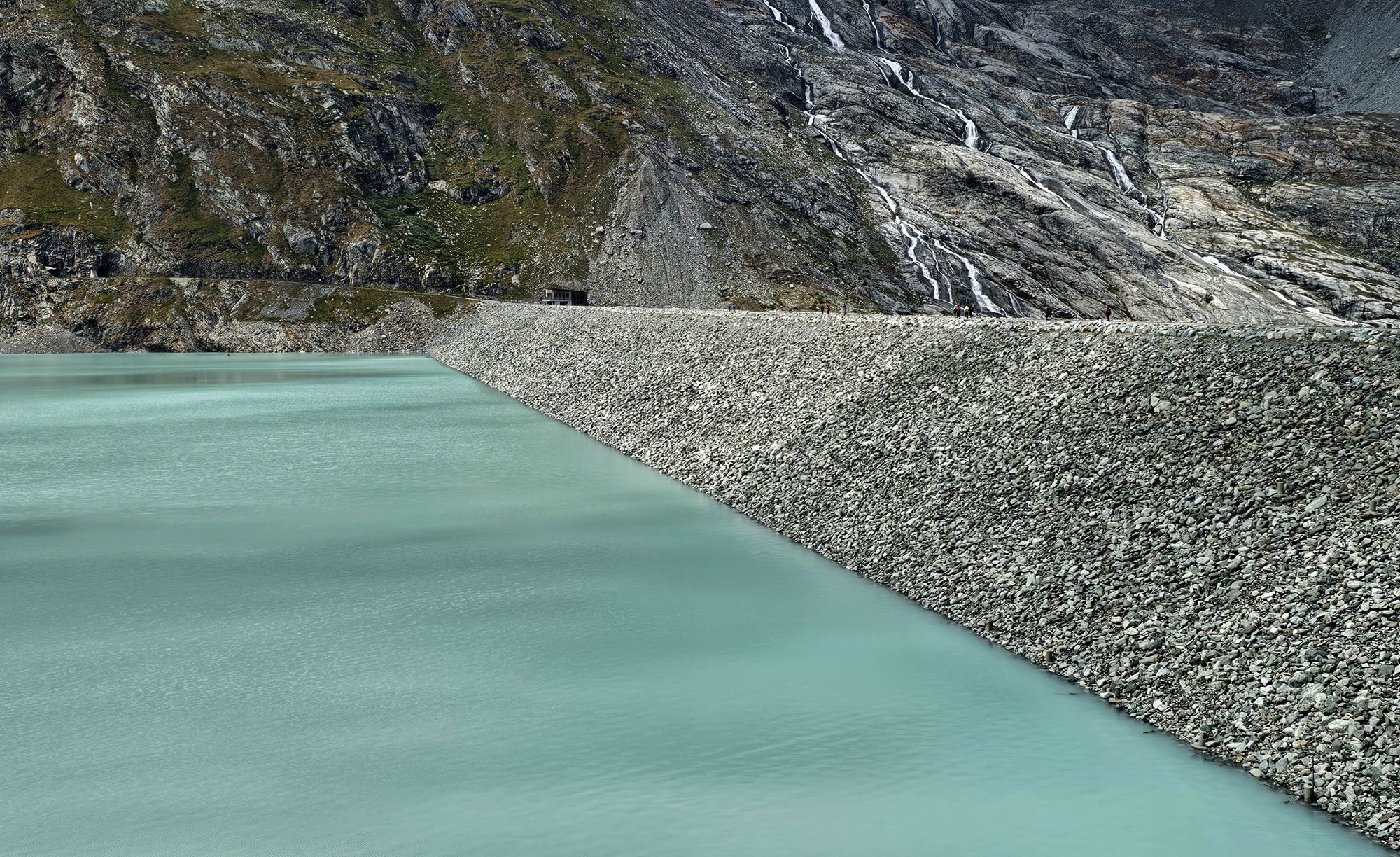
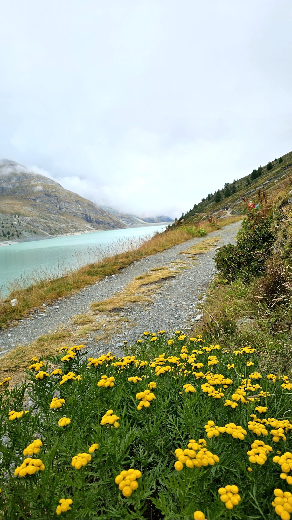
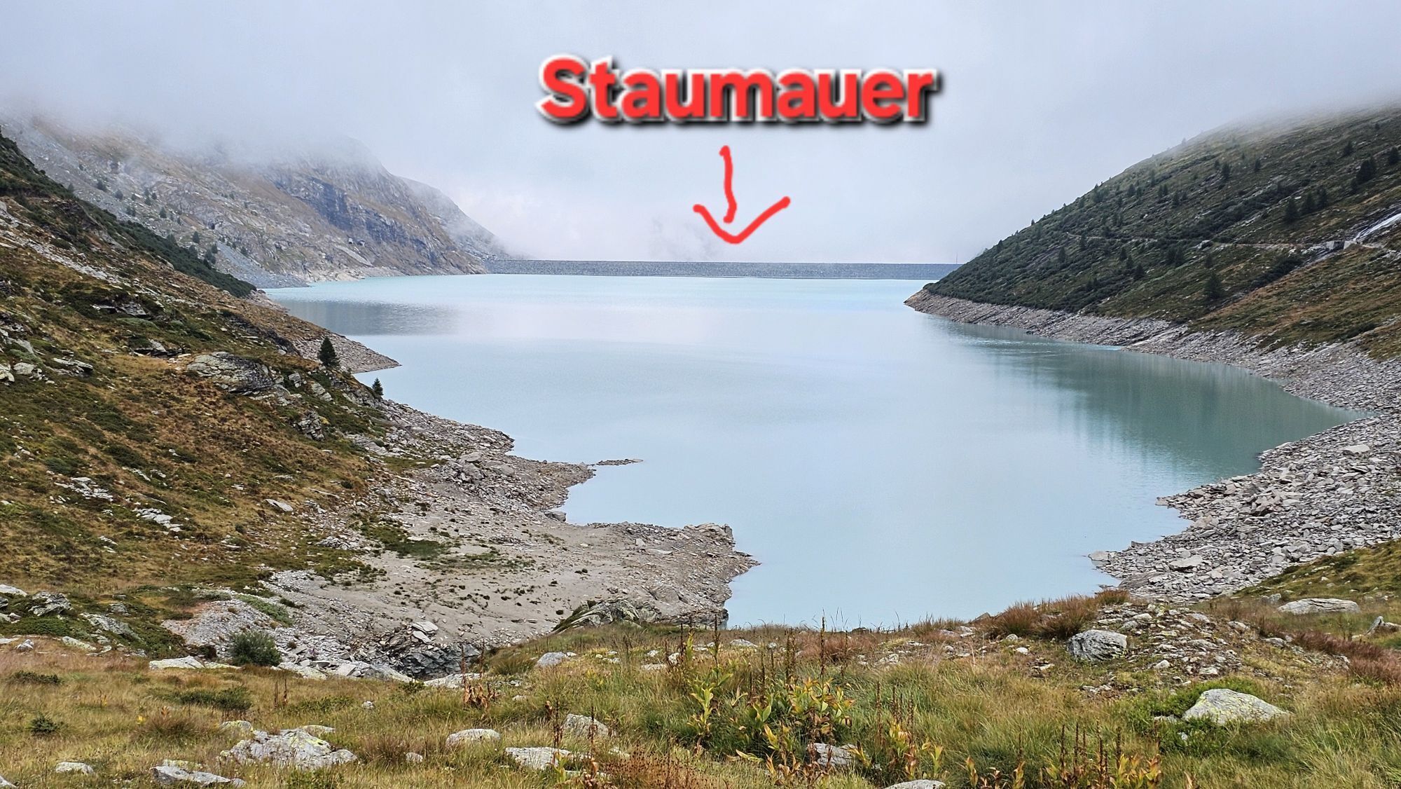
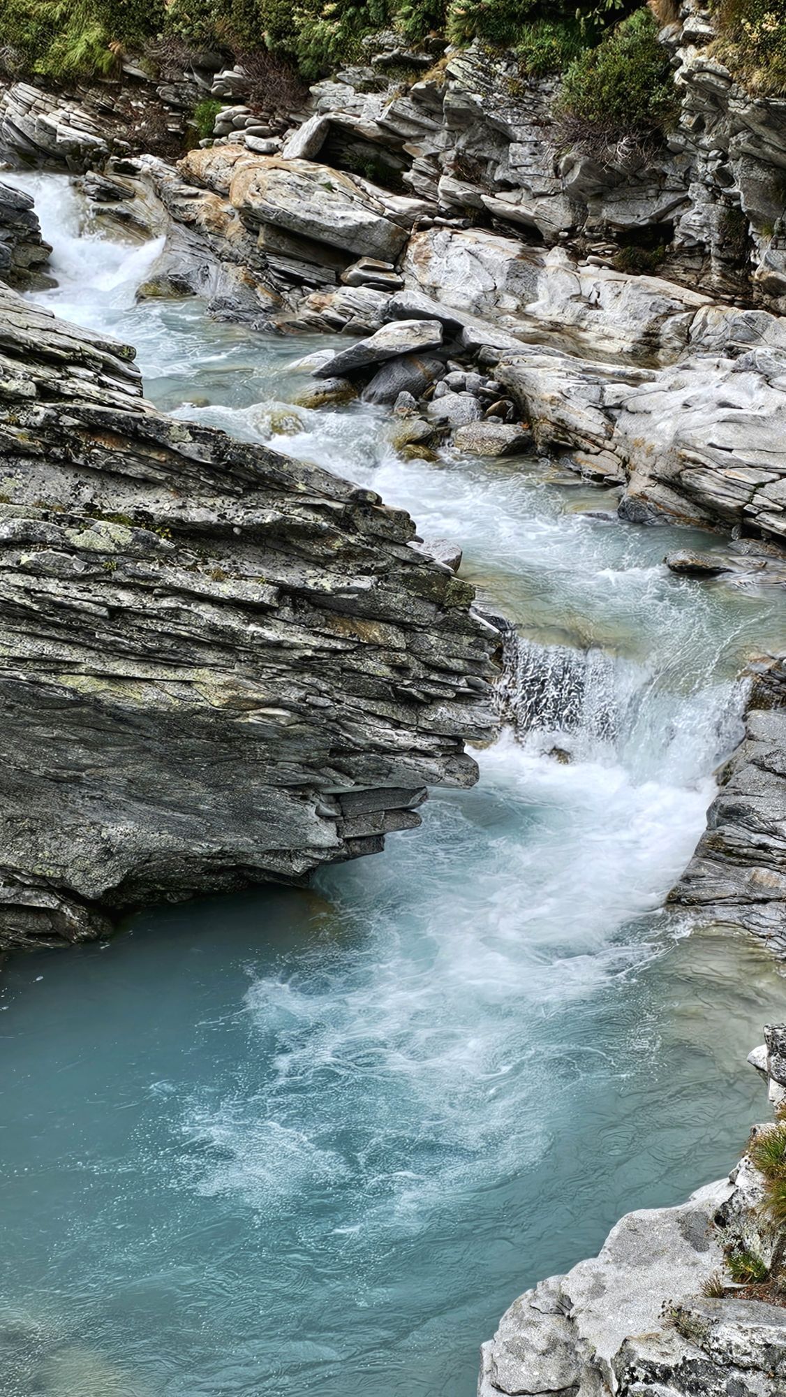
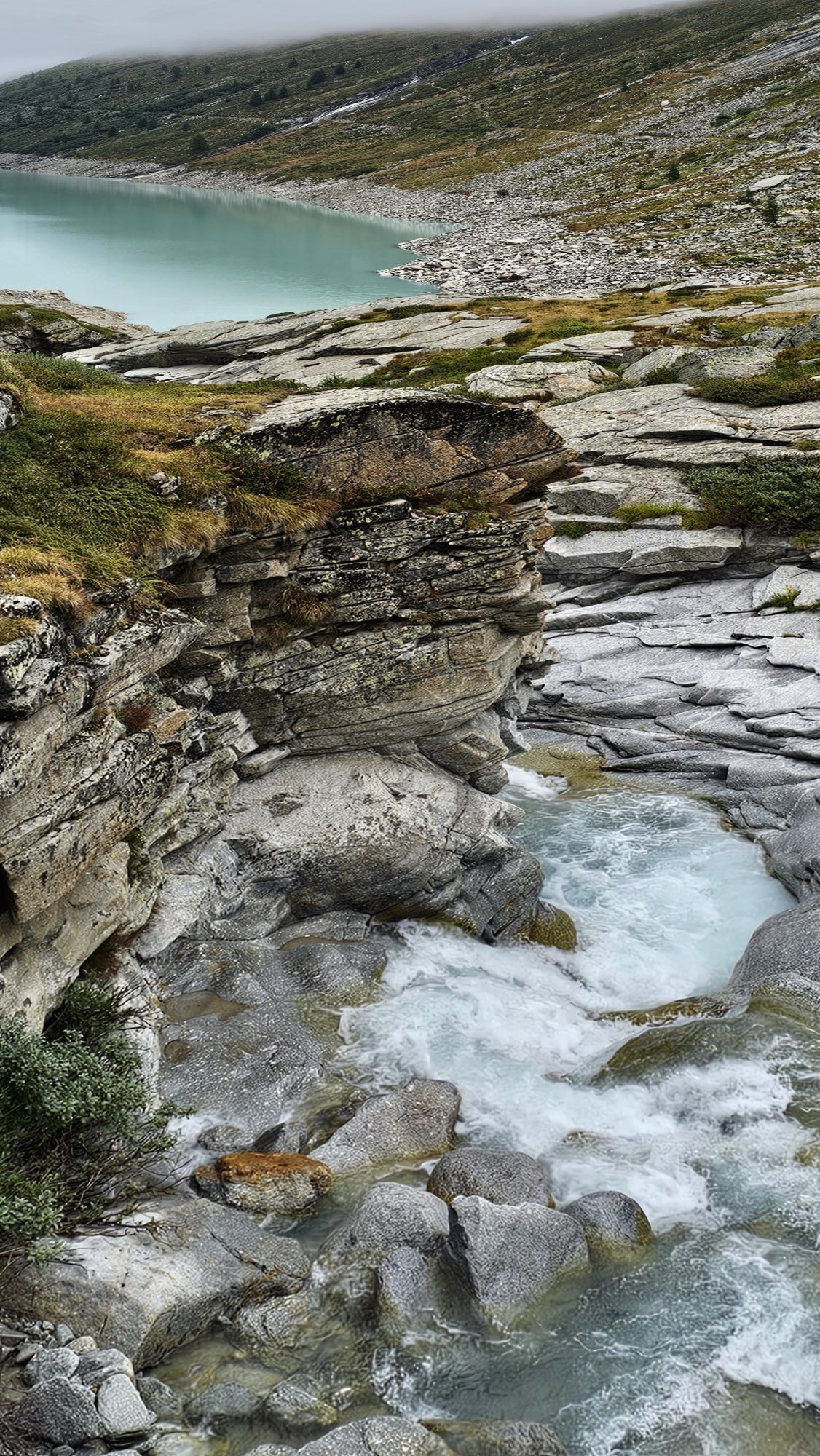
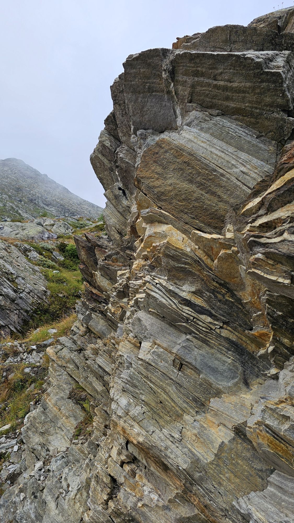
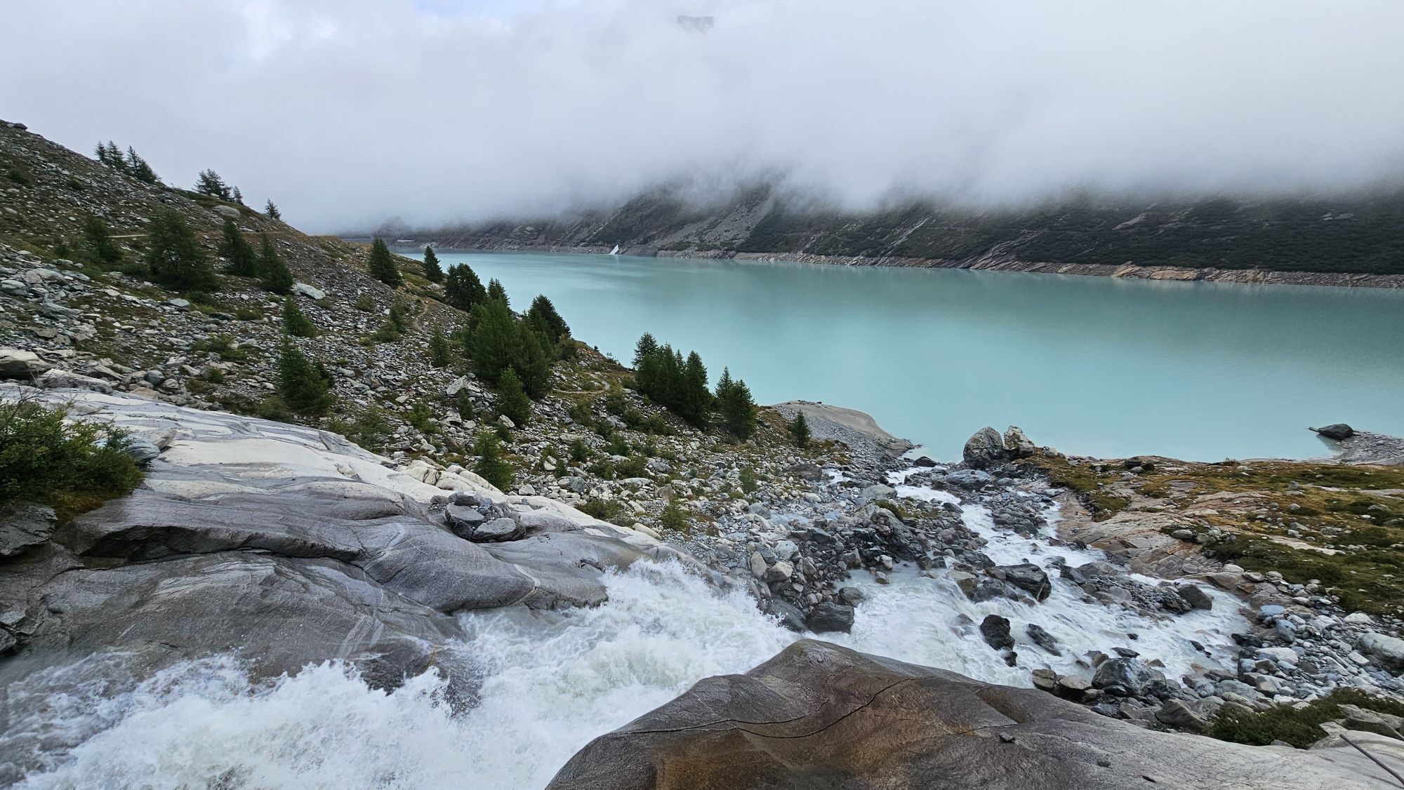
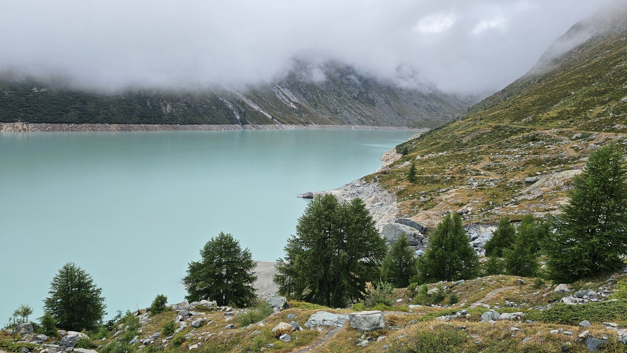
Notice: Due to storm damage, the east shore of the Mattmark reservoir is closed. The lake round leads along the west shore to Distelalp and returns the same way.
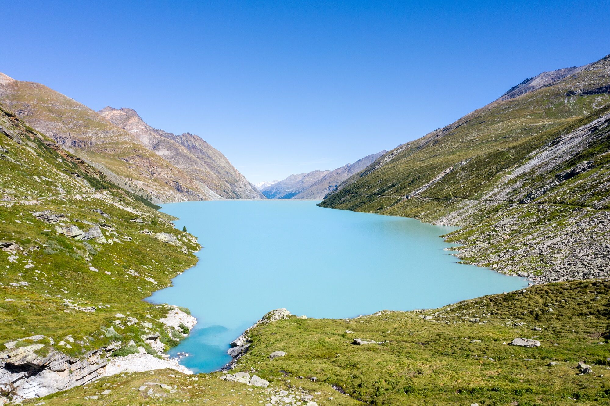
The 8km long lake round offers everything...
Notice: Due to storm damage, the east shore of the Mattmark reservoir is closed. The lake round leads along the west shore to Distelalp and returns the same way.
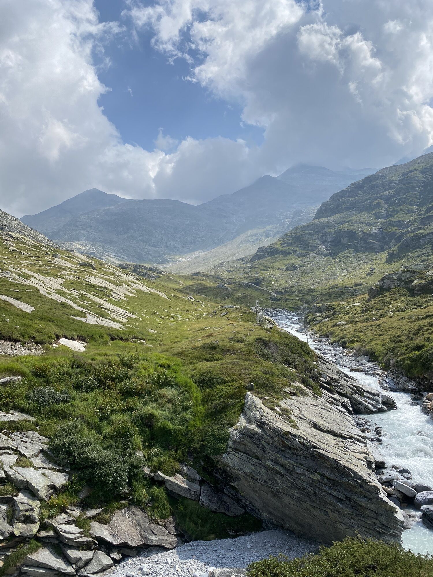
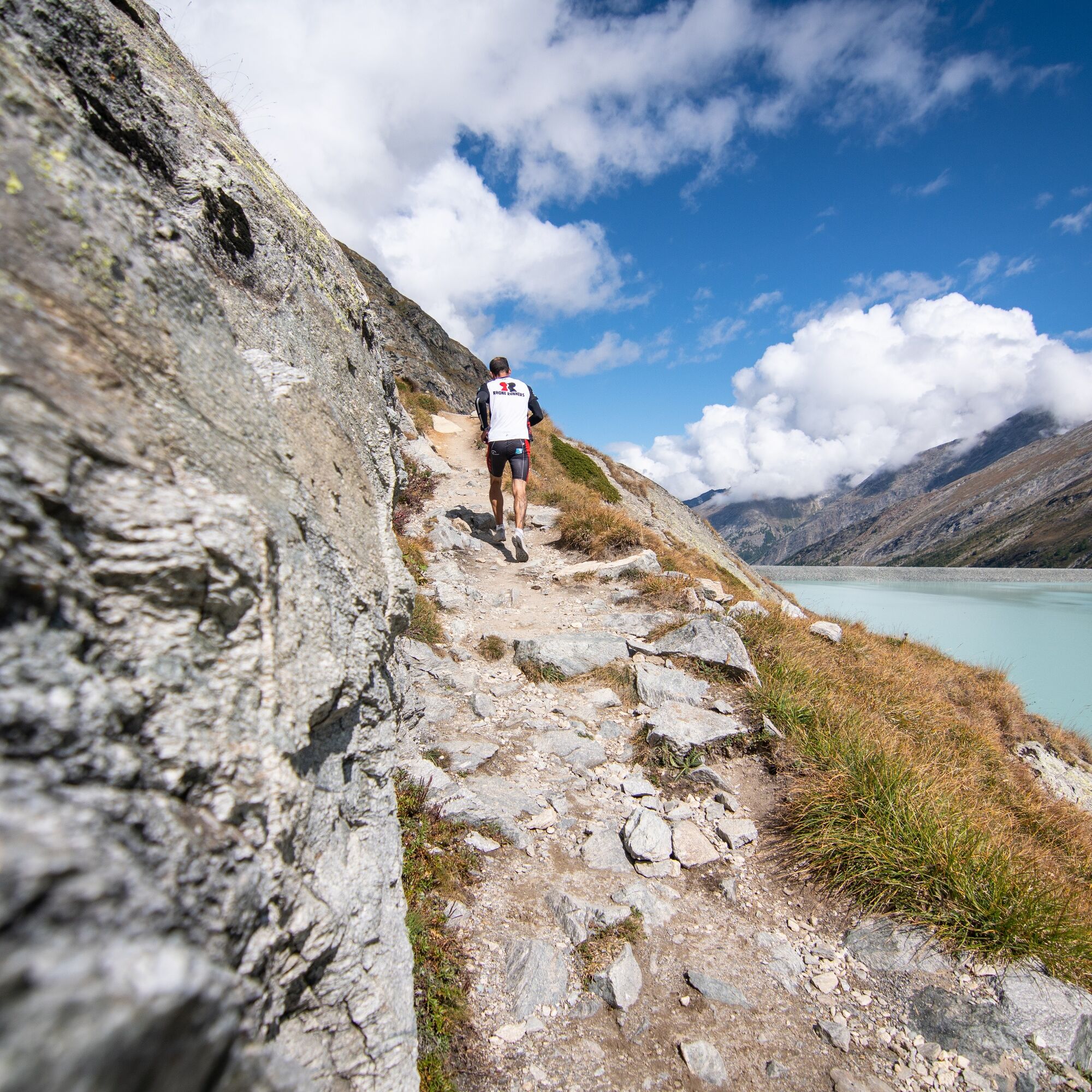
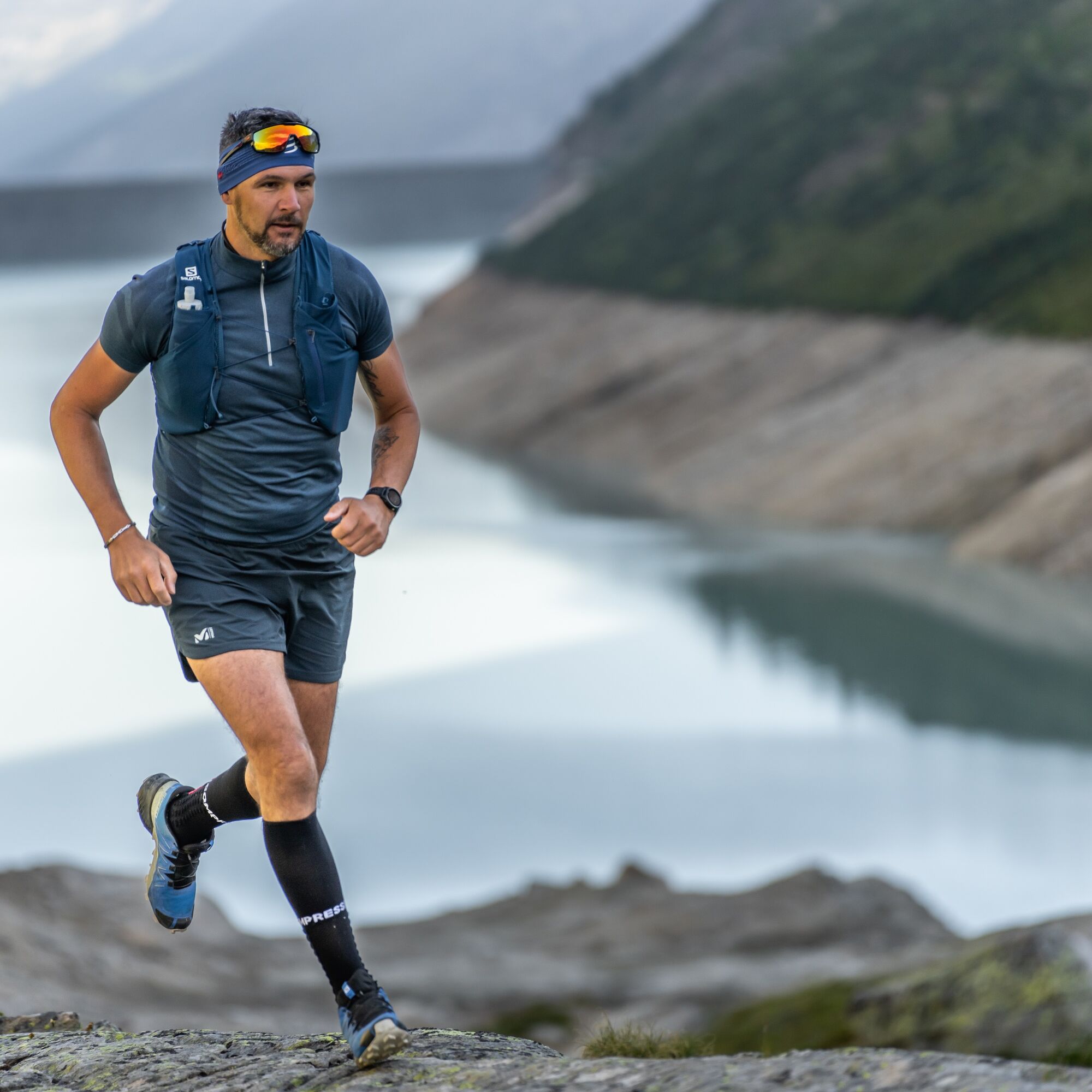
The 8km long lake round offers everything a runner's heart desires: fast, flat sections alternate with rapid, short climbs. An ideal terrain for competition and training. A leisurely round for pleasure runners and a challenge for ambitious competitors.

Mattmark Panorama Restaurant – Dam – Distelalp – Mattmark
Da
Trail running shoes
Outdoor clothing: Always carry a waterproof jacket
Sunscreen
Fluids and food
Poles
Navigation tool
First aid kit
Use of the hiking trails and information on this website is at your own risk. Conditions on site may lead to changes in the route.
Use only marked hiking trails and pay attention to all signs and instructions – for your own safety, to protect grazing animals, and out of respect for wildlife. Close gates after passing through. Behave considerately towards other trail users, plants, and animals. Bring additional sun protection. UV rays at high altitude can be very strong, even in cloudy weather. Plan your trail carefully: consider the required fitness level of all participants, weather forecasts, and seasonal dependencies. Weather conditions in the mountains can change very quickly and without warning. Appropriate clothing and provisions (food and drink) are very important. In case of unstable weather, better turn back early. Inform third parties about your trail route and, if possible, do not go alone. Observe warning signals indicating dangers at river banks, along watercourses below dams and reservoirs: Water levels can rise quickly and without warning.The Saas Valley is easily and conveniently accessible by car from all directions, whether from Switzerland or from abroad. From the north, you reach us via Bern through the Lötschberg car shuttle. From the east, you come over the Furka Pass or the Furka car shuttle. From the south, we are accessible via the Simplon Pass or Simplon car shuttle, and from the west, you drive via Lausanne along the Rhone Valley to Visp and from there towards Saas-Fee.
From Visp, drive south towards Saas-Fee. At the "Killerhof" roundabout towards Stalden, take the second exit towards Saas-Fee. In Saas-Grund, turn left after the church towards Saas-Almagell and drive to the Mattmark dam.
Take the SBB train to Visp and change there to the PostBus towards Saas-Fee (Bus 511). In Saas-Grund at the Post stop, change to the PostBus towards Mattmark.
Parking lot at the dam crest.
T1

Spletne kamere s turneje

Dejavnosti na poti
-

Saas-Almagell, Wallis/Schweiz
28.09.2026 – Pohodništvo -
Saas-Almagell, Wallis/Schweiz
22.09.2026 – Pohodništvo -

Saas-Almagell, Wallis/Schweiz
22.08.2026 – Pohodništvo -

Mattmarkstausee
17.08.2026 – Pohodništvo -
Saas-Almagell, Wallis/Schweiz
12.08.2026 – Pohodništvo -

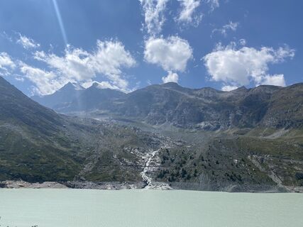
Saas-Almagell, Valais/Wallis/Schweiz/Suisse/Svizzera/Svizra
08.08.2026 – Pohodništvo -
Saas-Almagell, Valais/Suisse
29.07.2026 – Pohodništvo -

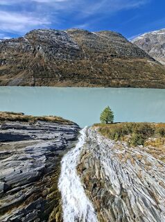
Saas-Almagell, Wallis/Schweiz
08.10.2025 – Pohodništvo -
Saas-Almagell, Wallis/Schweiz
20.09.2025 – Tek -
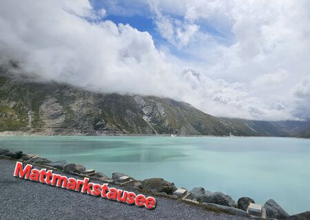
Mattmarkstausee
21.08.2025 – Pohodništvo -

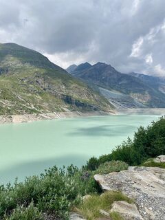
Saas-Almagell, Wallis/Schweiz
05.07.2025 – Pohodništvo
Priljubljeni izleti v okolici
-
4.9
Allalinhorn vom Mittelallalin über Normalweg
srednjaVisokogorska tura 6.15 km -
3.6
Höhenweg Kreuzboden - Almagelleralp - Saas-Almagell
Pohodništvo 9.74 km -
3.5
Waldweg Saas-Fee - Saas-Almagell
Pohodništvo 2.83 km -
4.7
Weissmies Südgrat von Saas Almagell
srednjaVisokogorska tura 20.5 km -
5.0
Via ferrata Jägihorn
težkoVia ferrata 6.14 km -
4.8
Marmot mountain path Spielboden
srednjaPohodništvo 3.89 km -
4.5
Ibex path
srednjaPohodništvo 9.02 km -
5.0
Mountain trail Kreuzboden - Hohsaas
srednjaPohodništvo 4.65 km -
5.0
5-Seenweg (Nr. 11)
srednjaPohodništvo 14.2 km -
3.7
Mattmark - Monte Moro - Macugnaga
Pohodništvo 10.6 km
Pohodništvo in sledenje


Ne zamudite ponudb in navdiha za naslednje počitnice
Vaš e-poštni naslov je bil dodan na poštni seznam.





