


Hauts de Crans Bike
Stopnja težavnosti: S0
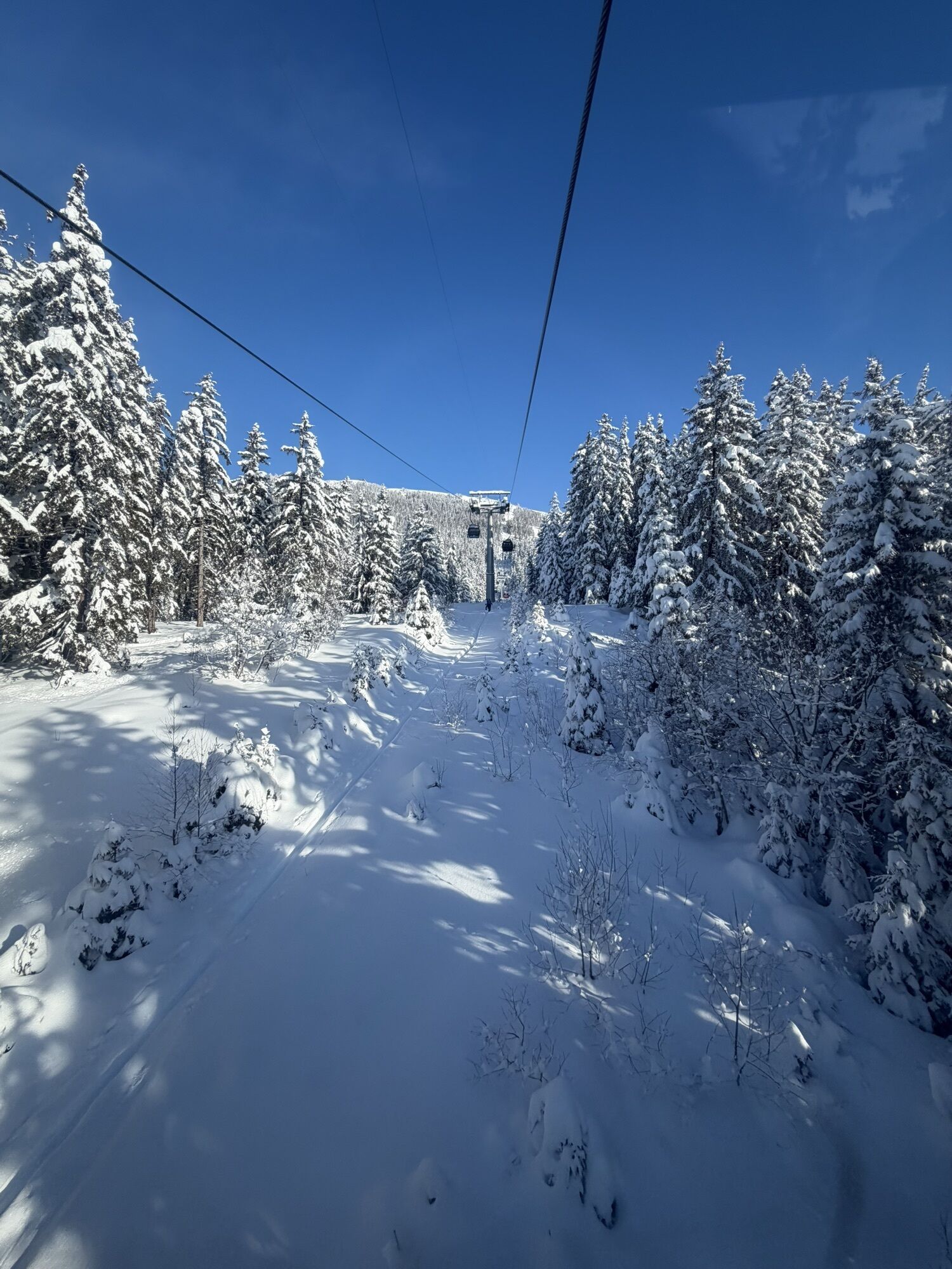
Starting from the Tourist Office in Montana, this accessible MTB route briefly skirts lake Grenon before gradually climbing along the Zotzet road. It then leads into forest tracks that wind their way up...
Starting from the Tourist Office in Montana, this accessible MTB route briefly skirts lake Grenon before gradually climbing along the Zotzet road. It then leads into forest tracks that wind their way up to lake Chermignon, continuing the ascent towards Arnouva. From there, the trail heads east toward Vermala, before beginning its final descent through the woods. It rejoins the Vermala road and leads comfortably back to the starting point. With a balance of shaded forest, wide views and varied terrain, this loop is perfect for a smooth introduction to the heights of Crans-Montana, without technical difficulty.

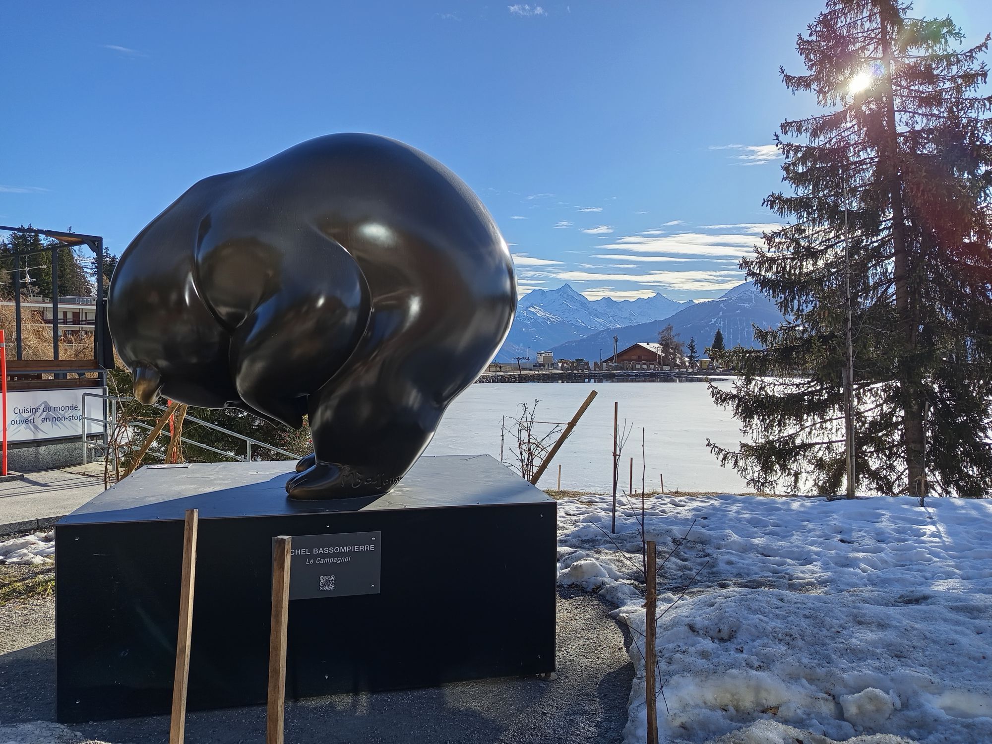
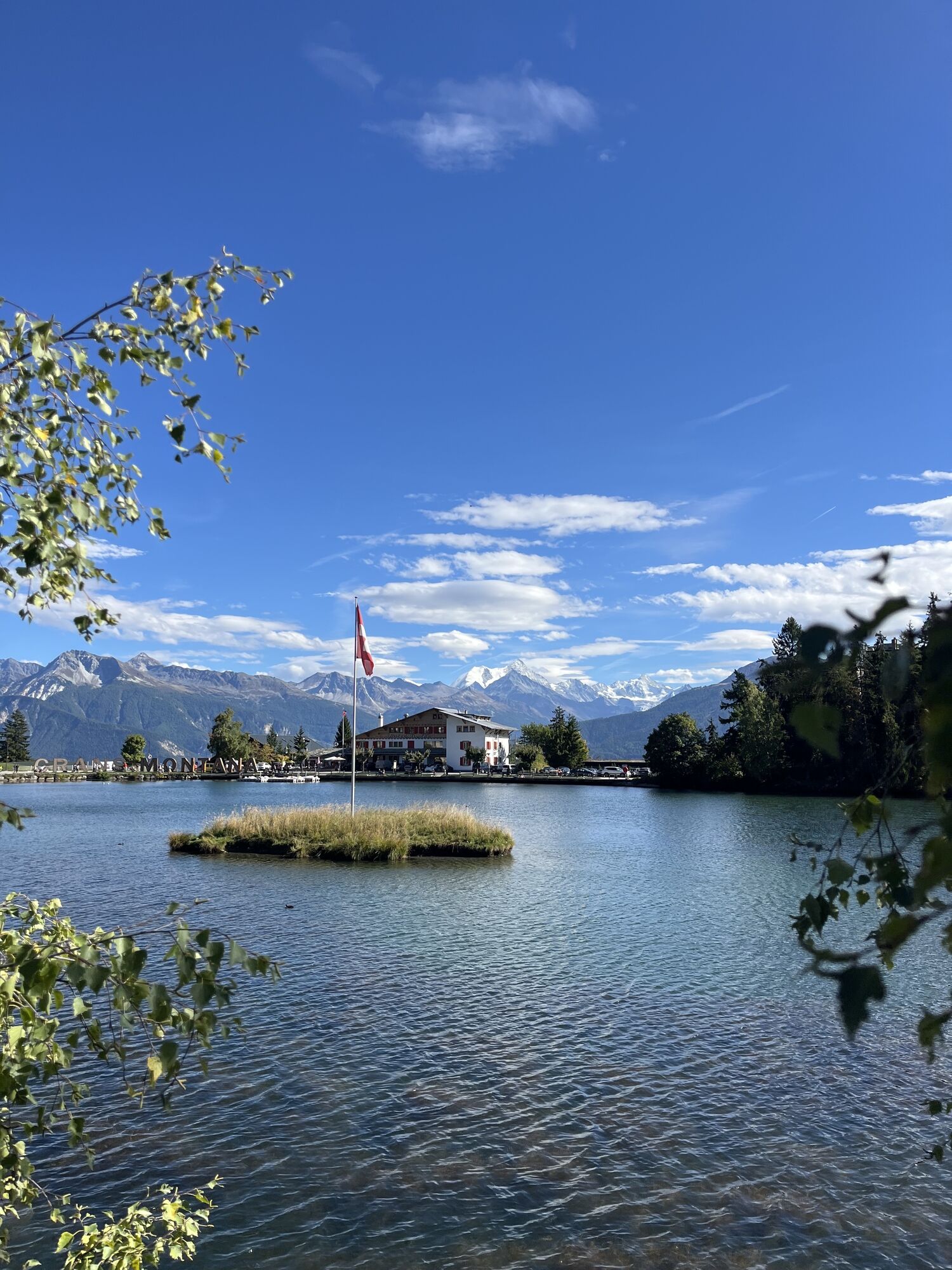
Starting from the Maison du Tourisme, the route follows the road west towards lac Grenon, easy to spot thanks to the large CRANS MONTANA letters on its shore. Around the middle of the lake, the route takes the road climbing up to the right. The ascent begins gradually, first skirting the woodland before entering the forest, with a steady gradient that makes it easy to settle into a comfortable riding rhythm.
The trail then reaches lac de Chermignon, the first highlight of the loop, before continuing towards Arnouva on wide, accessible tracks, just what you would expect from an easy yet varied mountain bike route. The section through Arnouva feels more open, with lovely views across the surrounding slopes and peaks.
From there, the route continues through the forest towards Vermala, then returns to the resort via the Route de Vermala. The descent leads down to the roundabout, where you take the final exit to follow the Route du Rawyl, then pass through Ycoor before arriving back at the starting point at the Maison du Tourisme.
This mountain bike loop stands out for its accessibility, varied setting and well-balanced mix of effort, scenery and pure riding pleasure. It is an ideal route for exploring the heights of Crans-Montana by bike without taking on anything too demanding.
Da
Preparing for mountain bike outings
Best practice guidelines
When planning, take into account participants’ fitness level and ability. All riding is at one’s own risk.
Some narrow trails are also used by hikers. For a smooth coexistence, please stay in control, give way to pedestrians, and ride with courtesy.
From the A9 motorway exit at Sierre (east or west), follow signs to Crans-Montana (approx. 20–25 minutes). Once in Crans-Montana, follow the signs to the Stephani/Casino car park. Parking is available on site.
From Sierre SBB/CFF train station, ride to the SMC funicular station and take the funicular towards “Crans-Montana, gare” (final stop, journey approx. 13 minutes, departures 3x/hour). From the top station, ride about 5 minutes to reach the start of the route at the Montana Tourist Office.
The large underground Stephani car park is available on site (charges apply).
S0
A stop is possible on the terrace of the Arnouva restaurant (usually open in July and August), located at the top of the Montana–Arnouva gondola.
Priljubljeni izleti v okolici
-
5.0
Bisse du Ro
svetlobaPohodništvo 11.2 km -
4.7
Leukerbad - Gemmipass - Lämmerenhütte
srednjaPohodništvo 9.49 km -
4.0
Grand Bisse de Lens
svetlobaPohodništvo 8.73 km -
5.0
Bella-Tola
srednjaVisokogorska tura 6.72 km -
5.0
Torrenthorn- Rigi der Walliser Alpen
Pohodništvo 2.99 km -
4.0
Gemmipass - Lämmerenhütte - Rote Totz Lücke - Daubensee - Gemmipass
srednjaPohodništvo 13.7 km -
4.0
Tripon - Brac – Ancien Bisse du Torrent Neuf – St. Marguerite – Torrent Neuf – Prafirmin - St. Germain
svetlobaPohodništvo 12.9 km -
4.0
Wolfstritt
Pohodništvo 7.02 km -
Talabfahrt (Rinderhütte-Tunnel-Folljeret-Leukerbad)
Pohodništvo 7.78 km -
5.0
Adelboden, Engstligen Alp and Engsligen Grat
srednjaPohodništvo 15.1 km
Pohodništvo in sledenje


Ne zamudite ponudb in navdiha za naslednje počitnice
Vaš e-poštni naslov je bil dodan na poštni seznam.