







Valais Alpine Bike

Stopnja težavnosti: S2
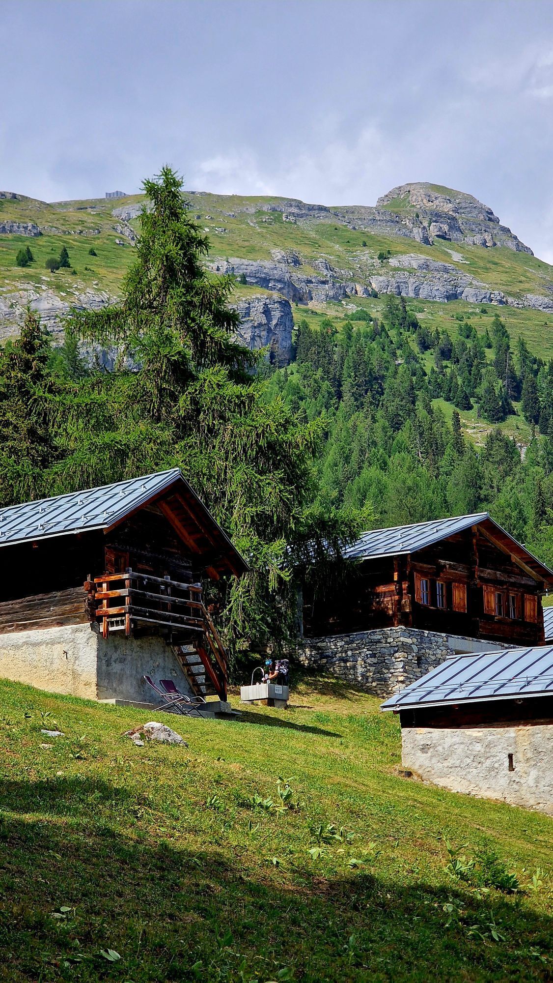
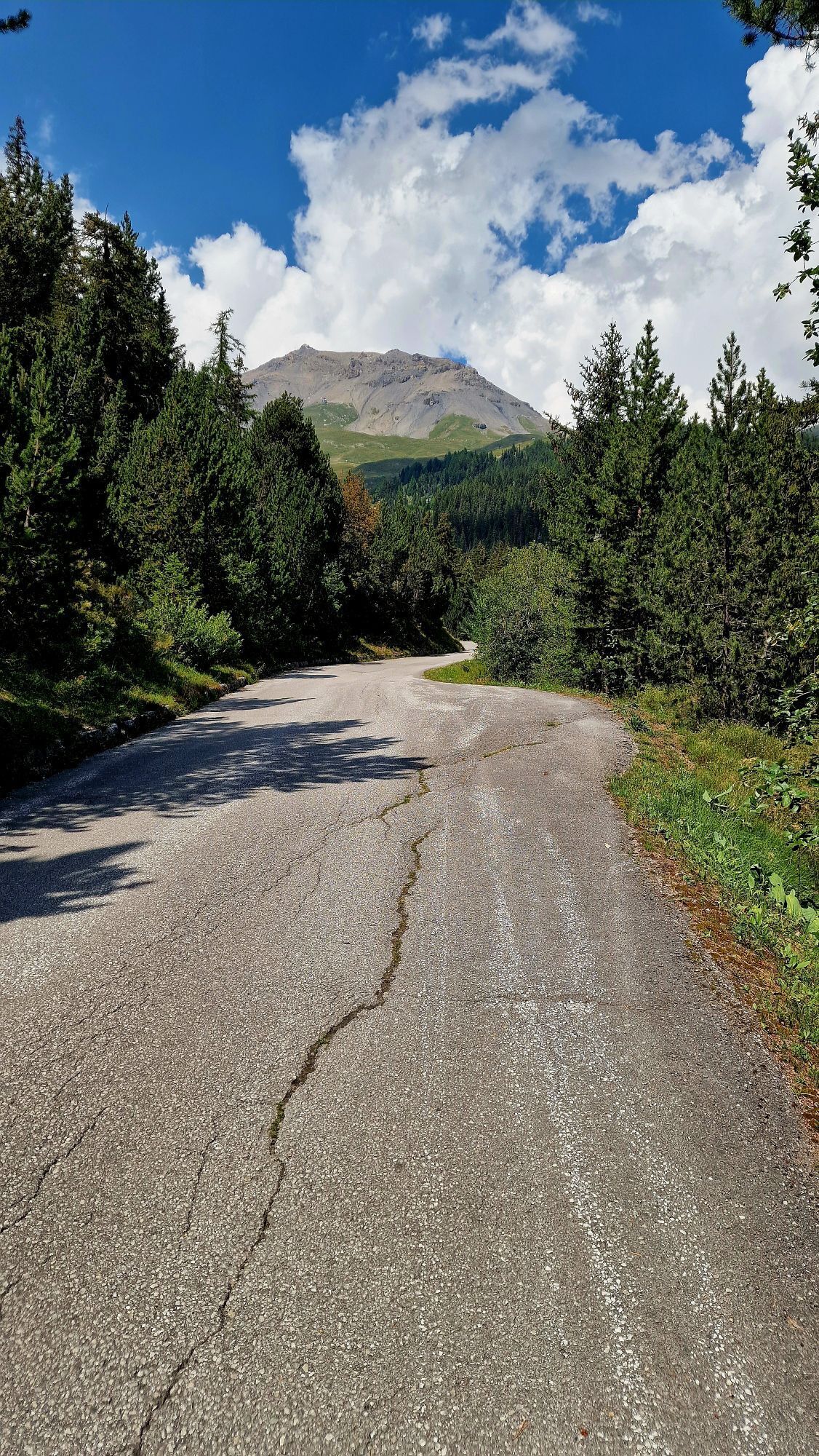
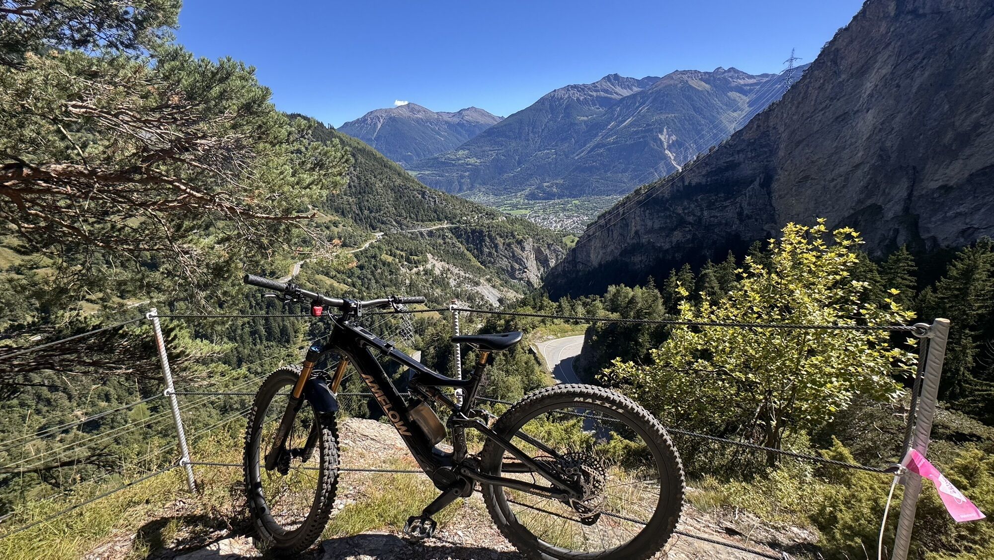
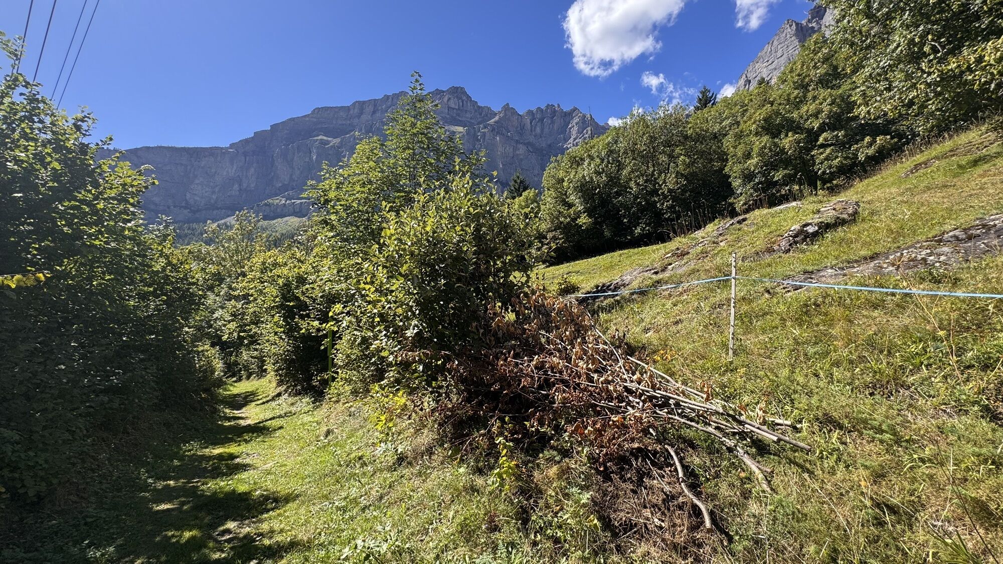
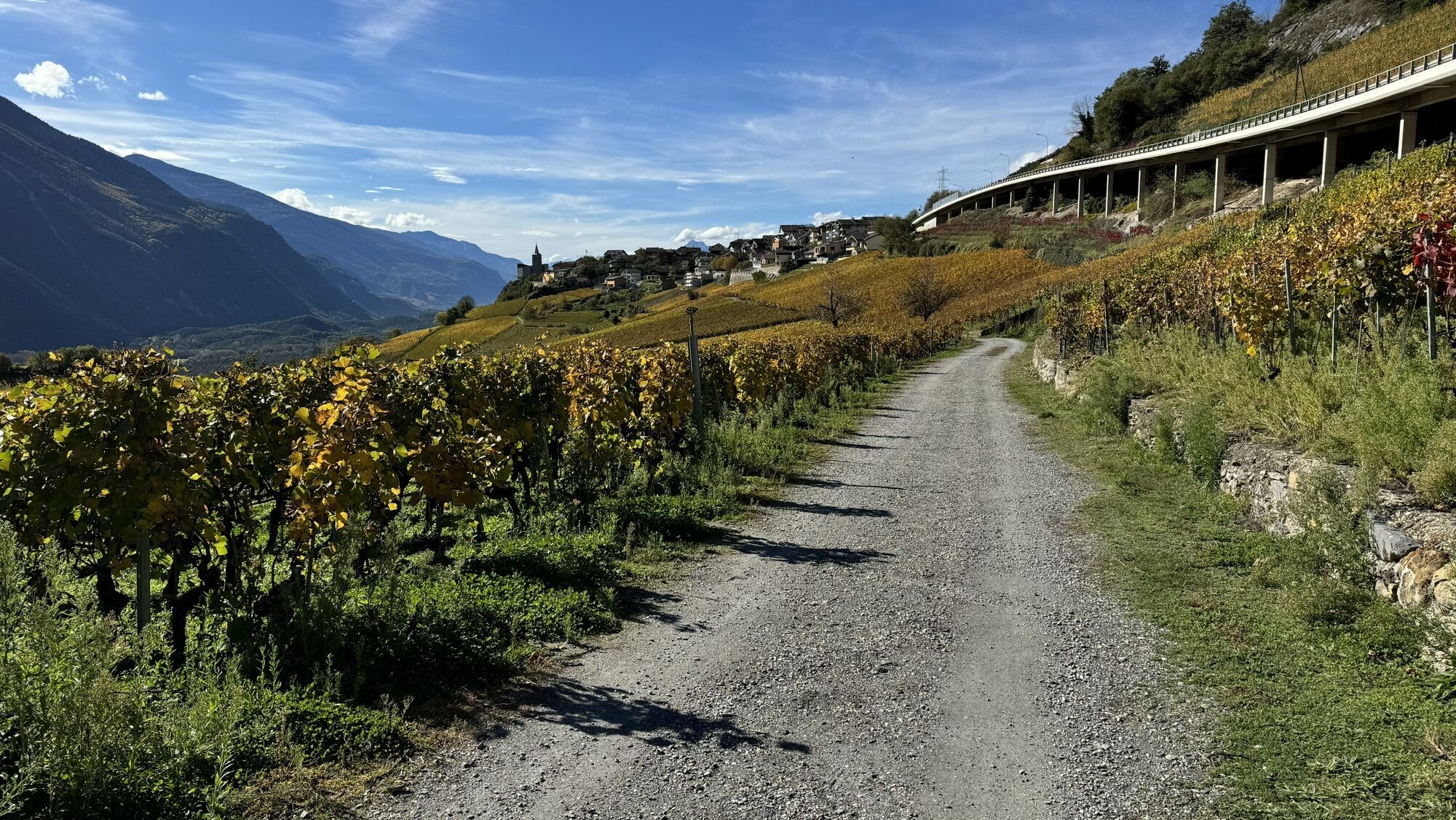
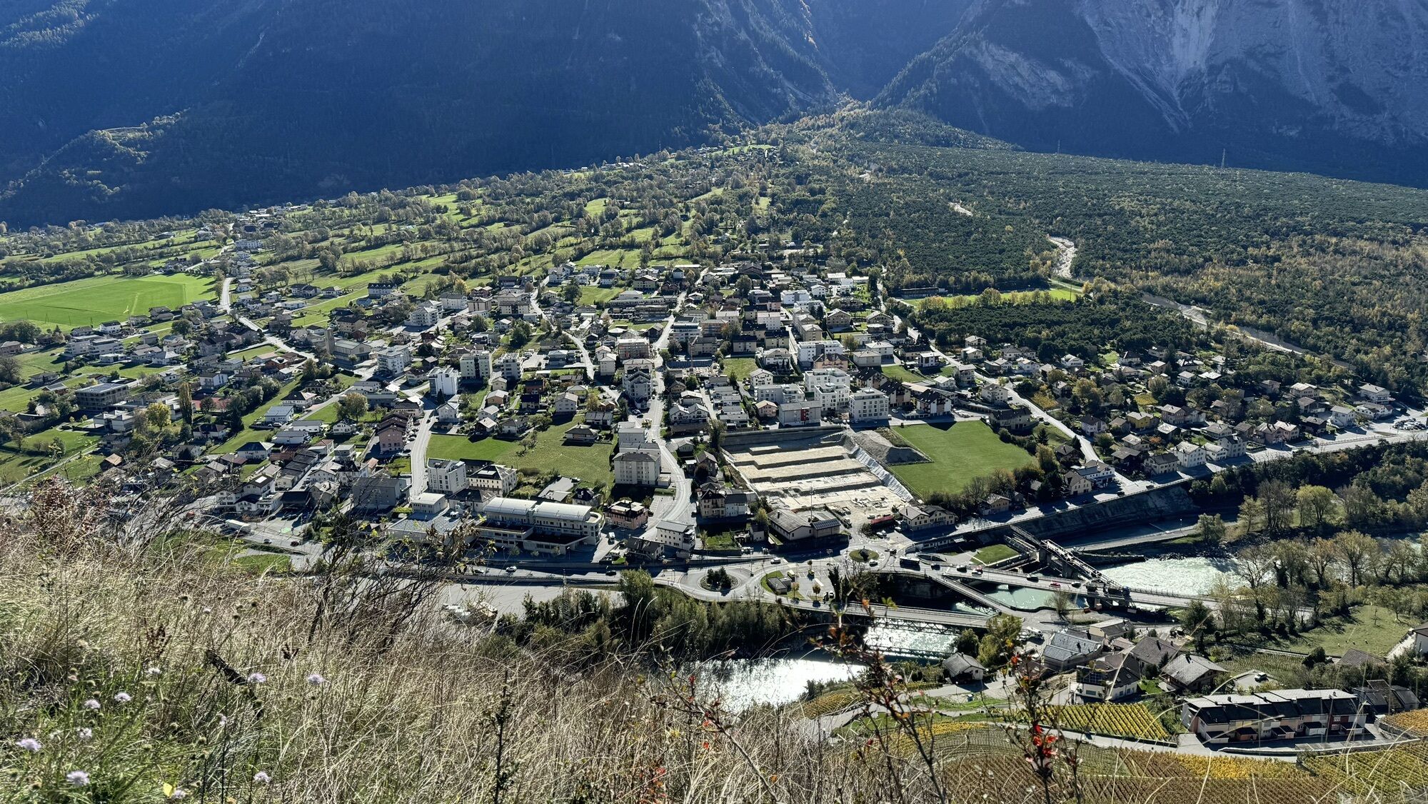
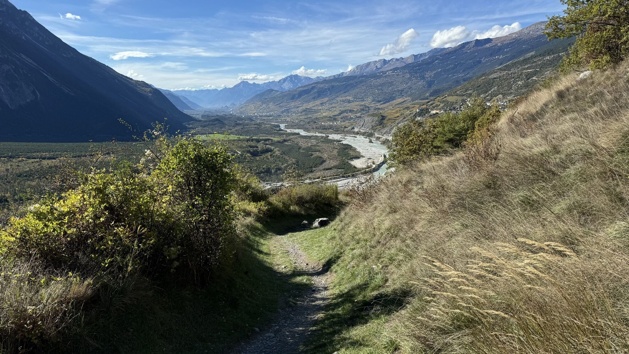
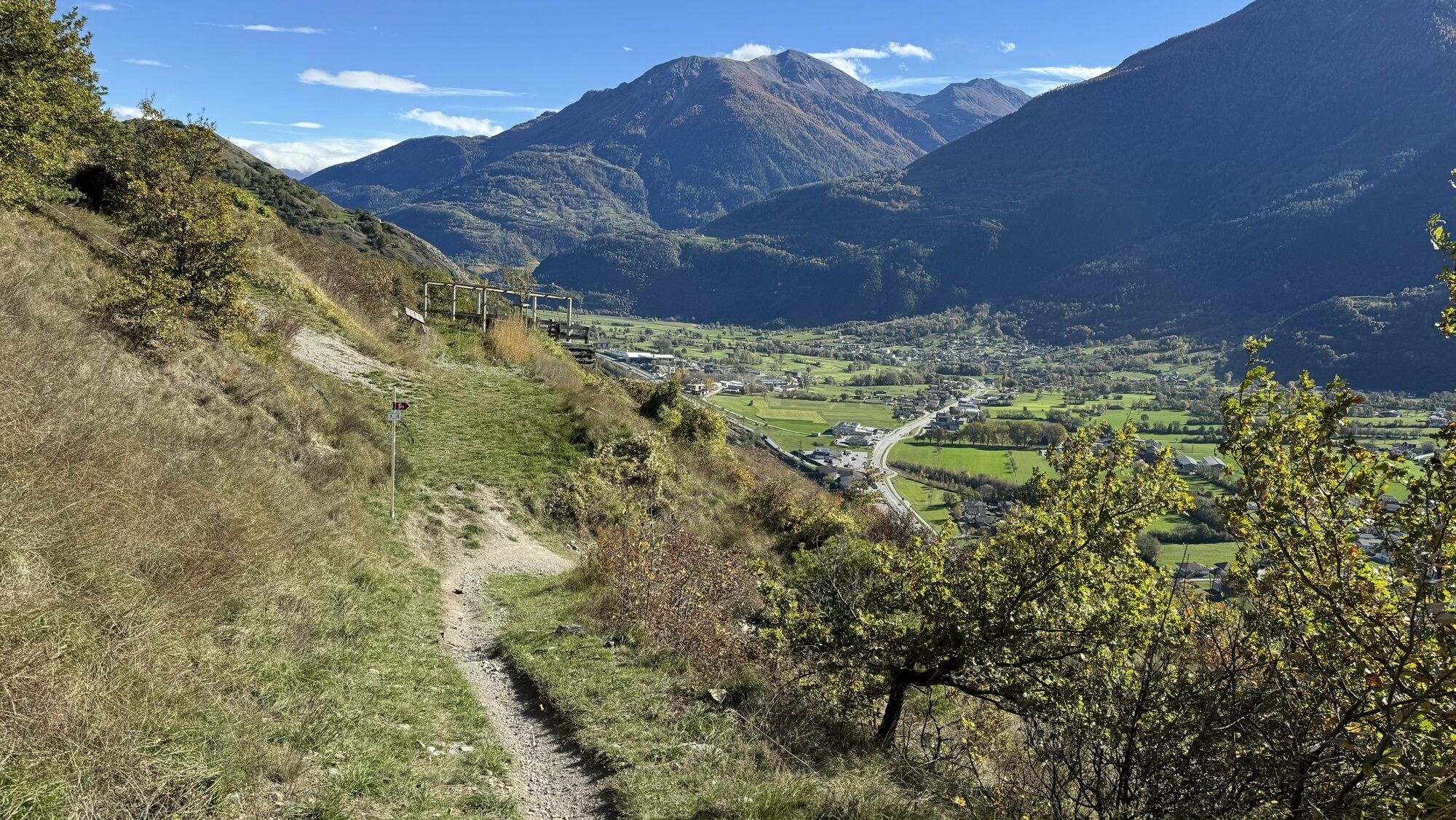
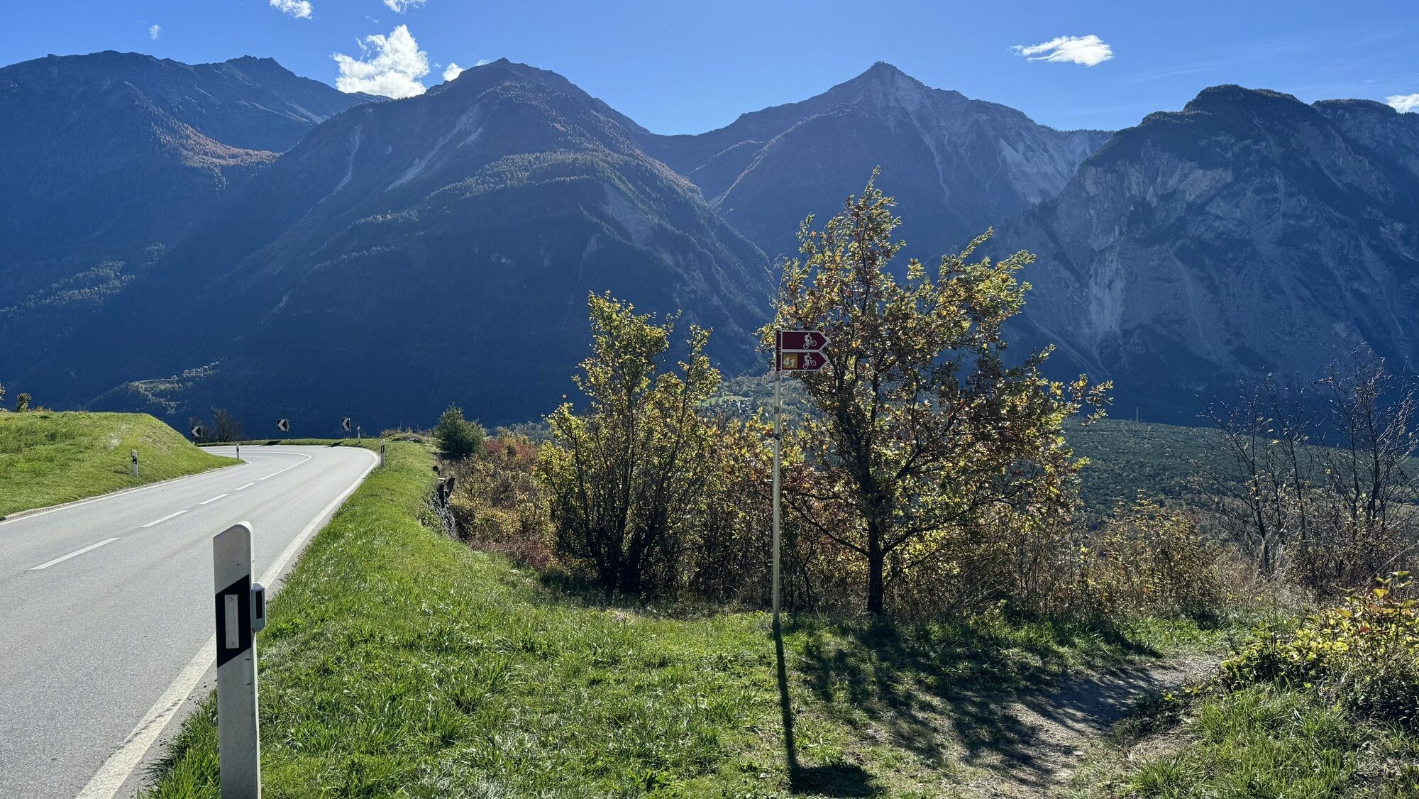
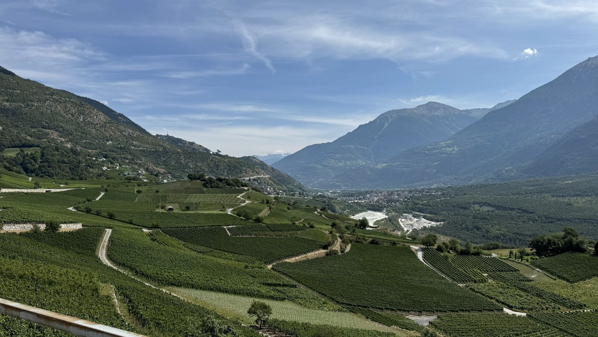
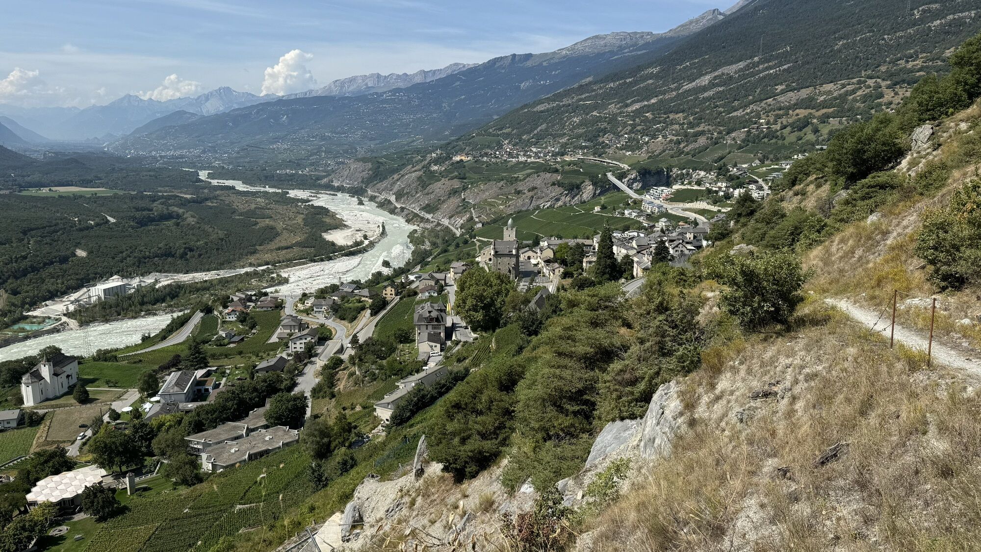
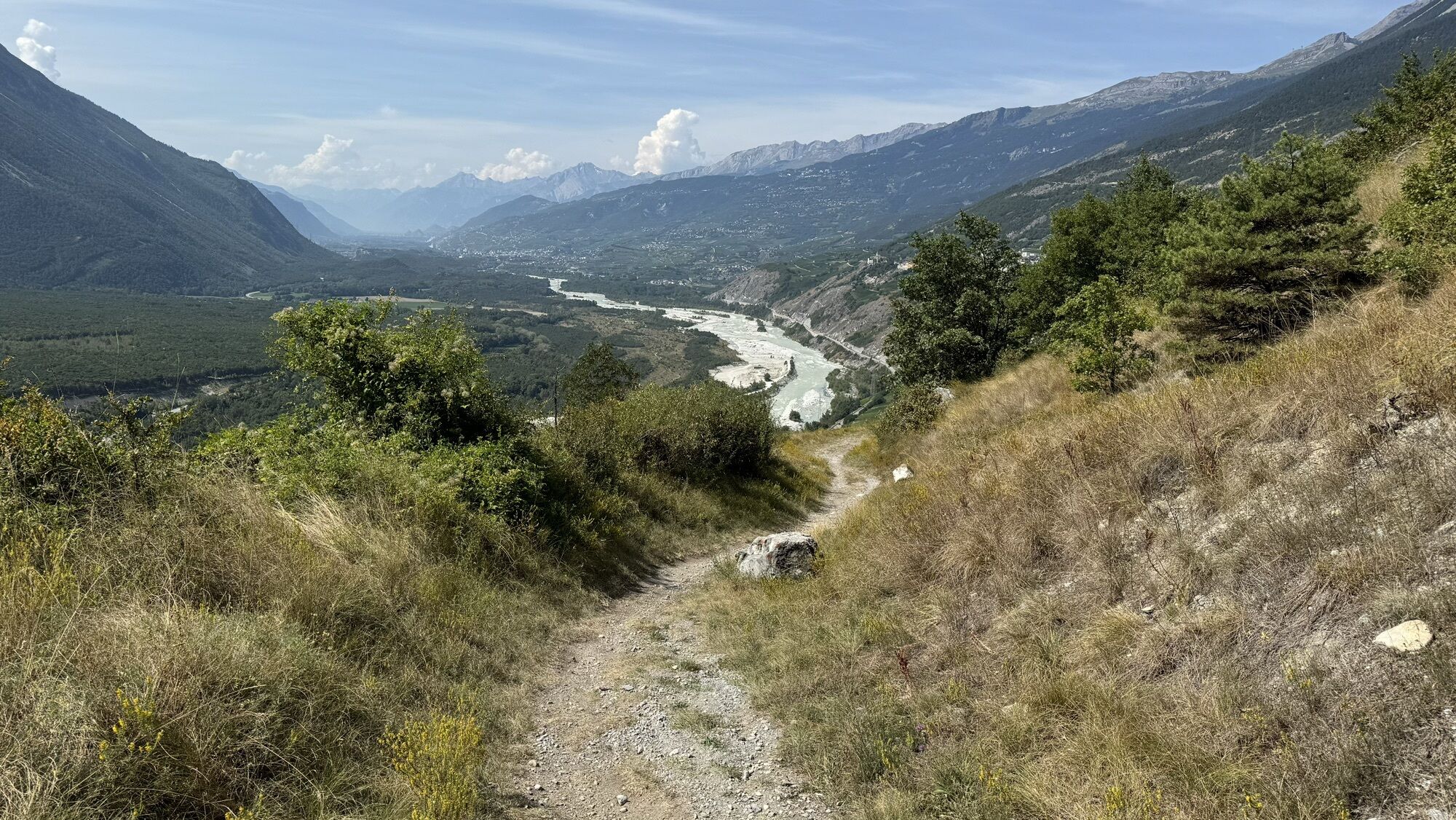
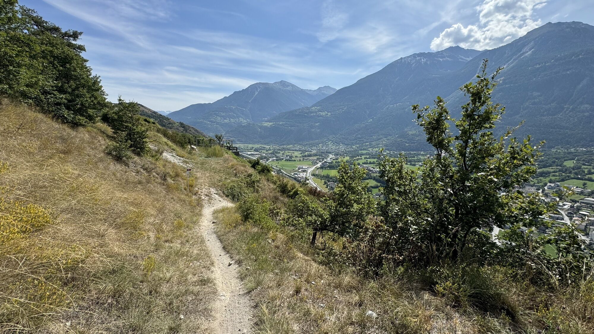
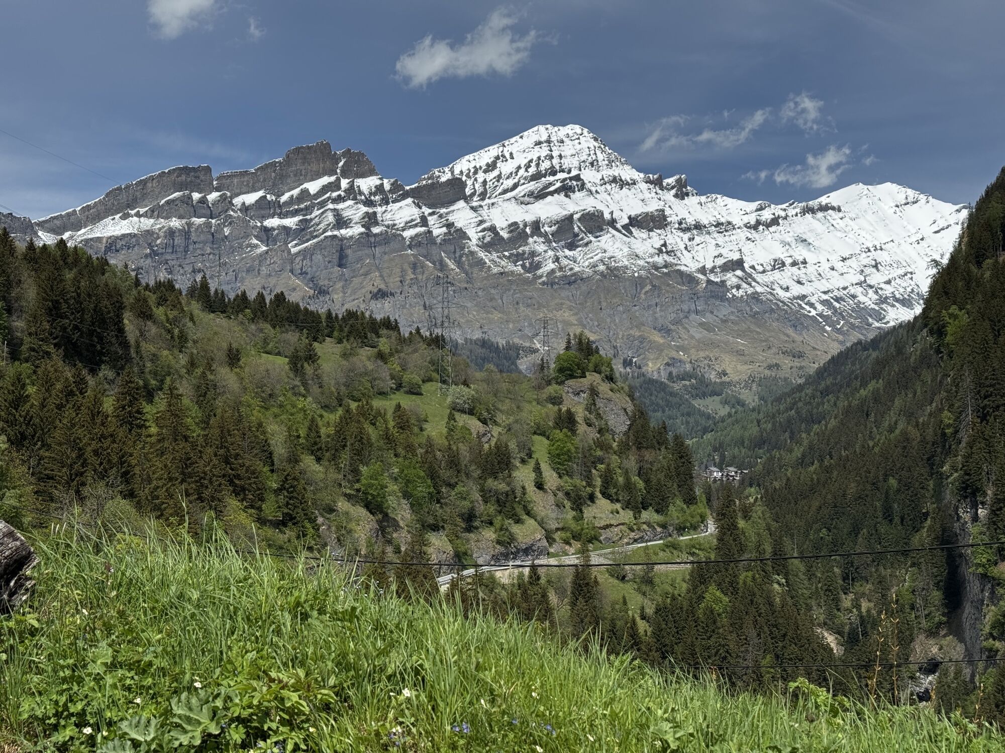
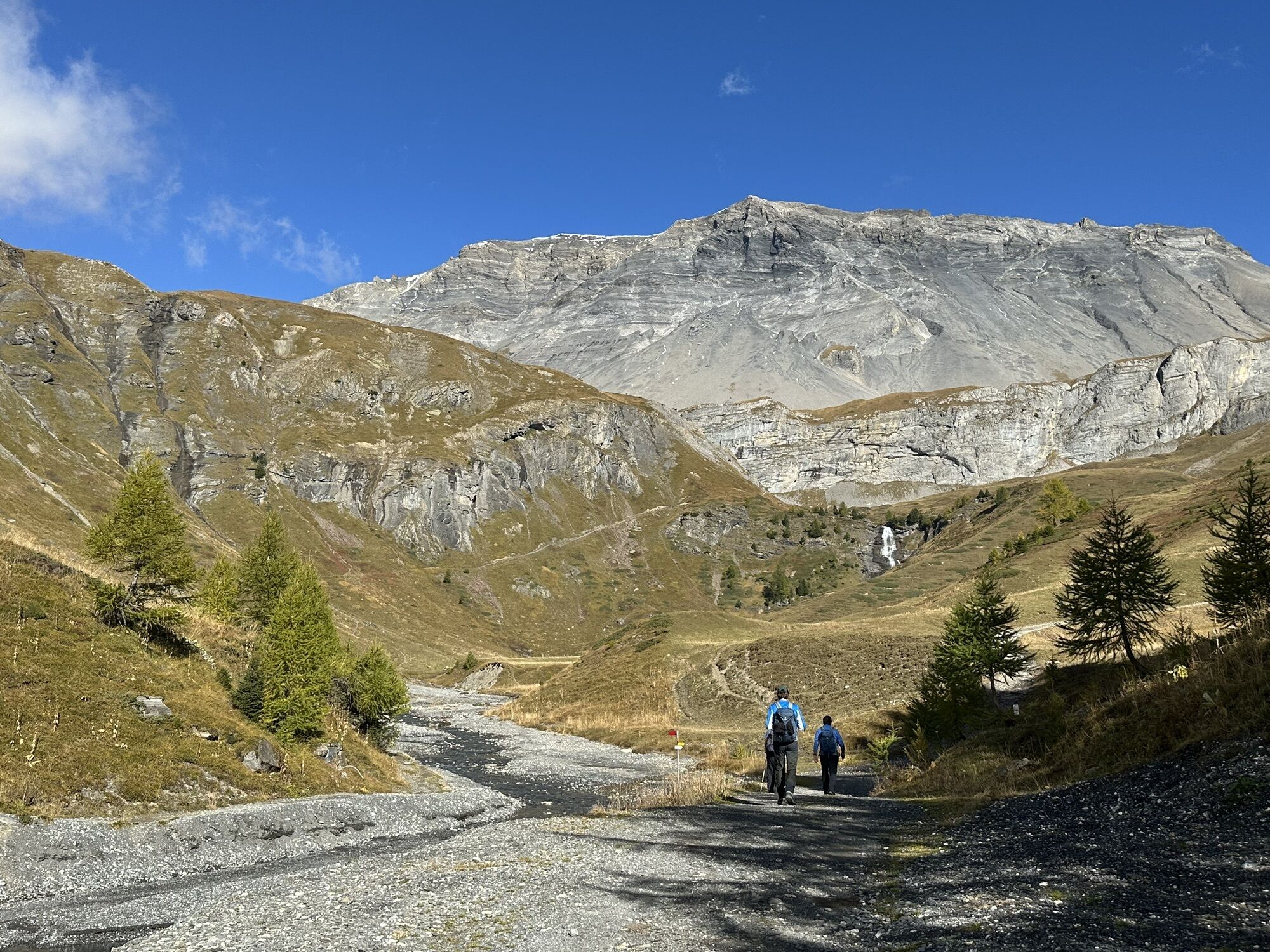
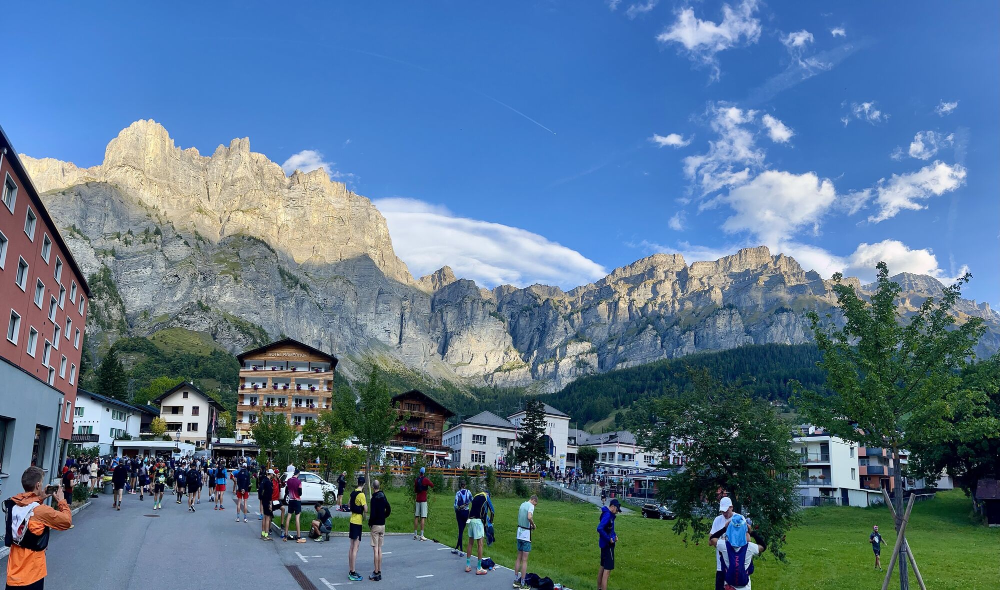
This leg, moderately difficult technically and physically, crosses the sunny region of Crans-Montana and the Leuker Sonnenberge. This varied route starts below Petit Mont Bonvin and leads to the idyllic...
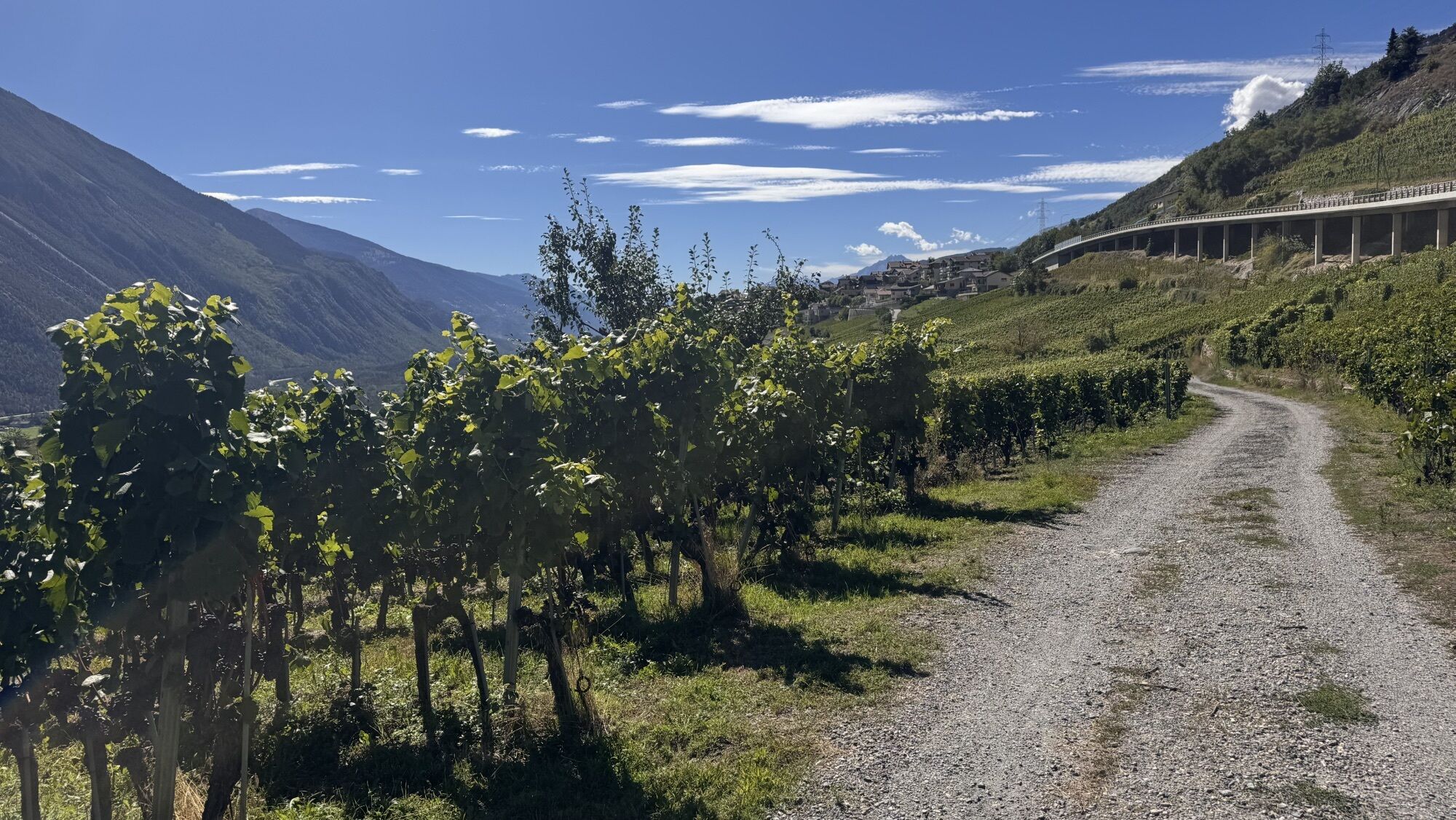
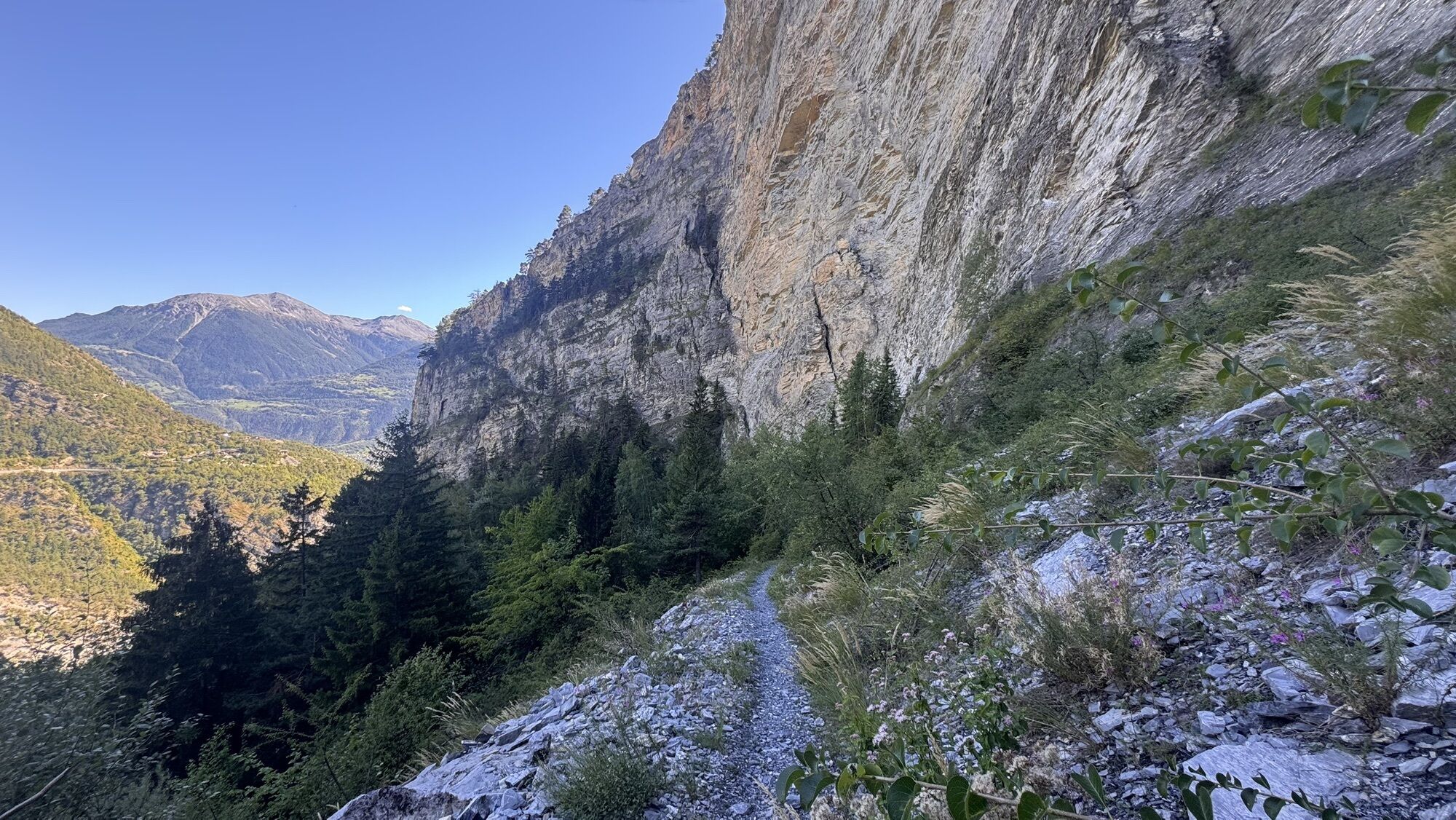
To make your way down to the wine-growing village of Varen, you’ll need to cross a stream bed, navigate sections with slate stones and smooth forest trails, as well as a few steep sections here and there. The first part of the trail leads down to the stream bed through pastures, then into the heart of larch forests. The finish is in Susten, but it is possible to climb up to Leukerbad via a little-used alternative route and enjoy the descents on the Leukerbad flow trail.

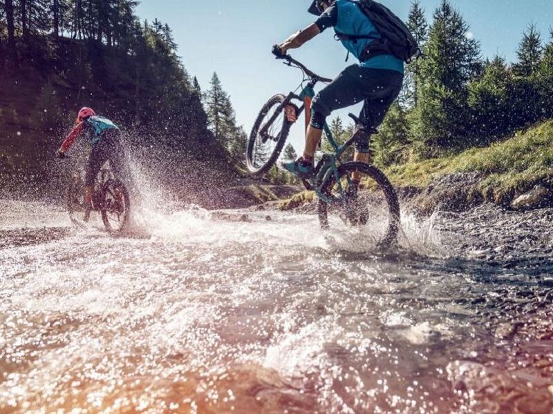
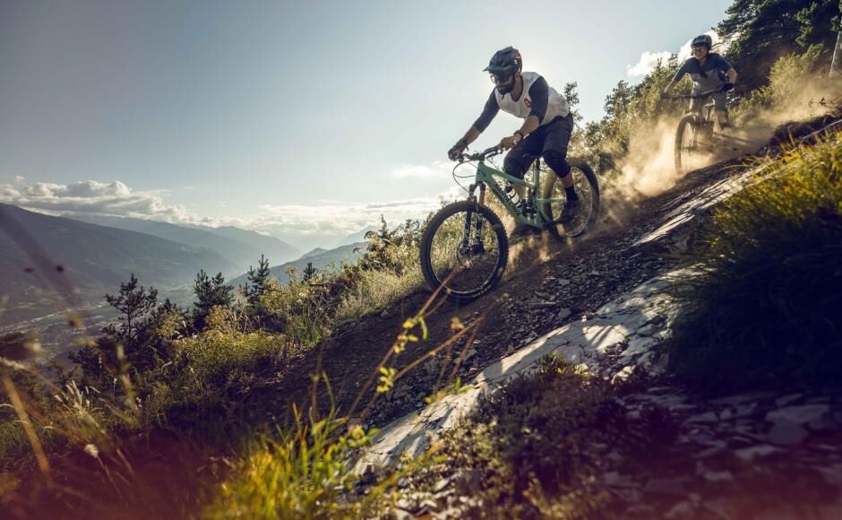
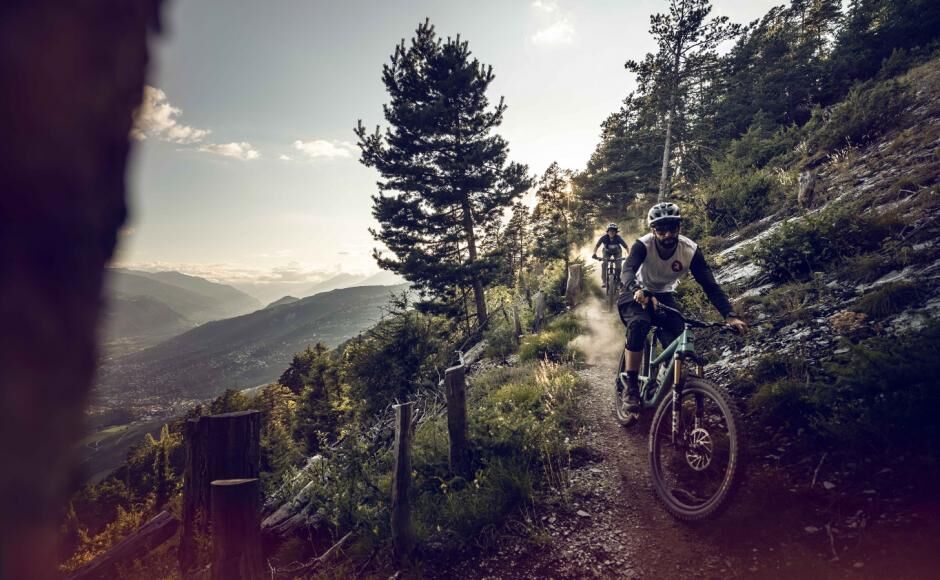

This moderately difficult day tour leads through the sun-kissed region of Crans-Montana and the Leuk Sonnenberge. Following a short section on the main road, the ascent towards the Vallon de la Tièche begins. You ride beneath the Petit Mont Bonvin via Plumachit to the idyllic Alpine meadows at Merdechon and onward to the Cabane de la Tièche. The last part leads on a dirt road past a scenic viewpoint. There are a total of 500 metres in altitude difference to overcome.
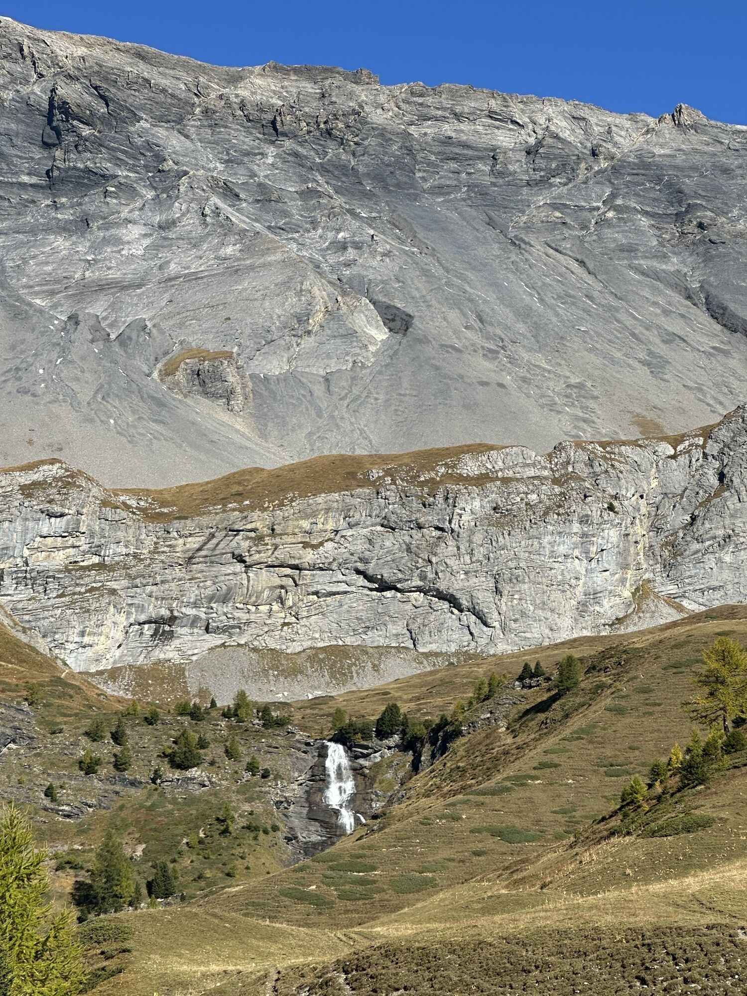
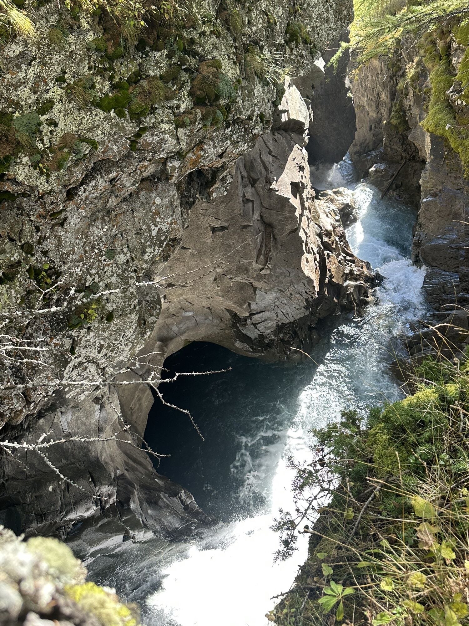
The highest point by the hut is also one of the tour's highlights: the magnificent La Tièche plateau at almost 2,000 metres, where Eringer cows can often be seen grazing in the summer. However, the action doesn't play in the ring but on the trails that now follow: during the descent to the winegrowers' village of Varen, there are a streambed to cross and passages covered with shale rock and flowing forest sections to negotiate and occasionally a few ramps. The first part of the trail leads across pastures to the streambed and then past marvellously fragrant larch forests. Another super trail awaits the bikers on the final section, winding its way steadily downhill through the Flottuwald forest.
Before reaching the end at Susten, bikers can visit Leuk castle for a brief lesson about culture. The glass dome designed by acclaimed architect Mario Botta is the tour's crowning finale. The thermal spa resort of Leukerbad, where the next stage starts, can be reached by bus. Those who haven't had enough yet and want to add a few vertical metres to their day can reach Leukerbad via the low-traffic ascent Dala bärgüf and then enjoy a few descents on Leukerbad's Flowtrail.
Da
Da
Preparing for mountain bike outings
The mountains are a place of pleasure to be shared and respected, offering space in which to meet up and share unforgettable moments, whether by bike or on foot. For all outdoor enthusiasts to enjoy them properly, it is essential that mountains are shared in a way that respects both Nature and agriculture. Respectful behaviour enables everyone to enjoy their hobby in the best possible conditions. Find out about the recommendations and rules in place.
Best practice guidelines
When planning, take into account participants’ fitness level and ability. All riding is at one’s own risk.
From the A9 motorway exit at Sierre (east or west), follow signs to Crans-Montana (approx. 20–25 minutes).
From Sierre SBB/CFF train station, ride to the SMC funicular station and take the funicular towards “Crans-Montana, gare” (final stop, journey approx. 13 minutes, departures 3x/hour).
Parking train station Sierre: Route de la Mondérêche 5, 3960 Sierre.
For this leg of the Valais Bike, we recommend that you park your vehicle in Leuk and then take the train (SBB) to Sierre station and the funicular (SMC Sierre-Montana-Crans) to Crans-Montana.
S2
The glass dome in Leuk designed by acclaimed architect Mario Botta is the tour's crowning finale.
Spletne kamere s turneje

Priljubljeni izleti v okolici
-
4.3
Rundwanderung Lötschenpasshütte
srednjaPohodništvo 12.2 km -
5.0
Bisse du Ro
svetlobaPohodništvo 11.2 km -
5.0
Lauchernalp-Lötschenpass-Selden
težkoPohodništvo 12.0 km -
4.6
Leukerbad - Gemmipass - Lämmerenhütte
srednjaPohodništvo 9.49 km -
4.2
Grand Bisse de Lens
svetlobaPohodništvo 8.73 km -
5.0
Restipass
Pohodništvo 14.5 km -
4.0
Gemmipass - Lämmerenhütte - Rote Totz Lücke - Daubensee - Gemmipass
srednjaPohodništvo 13.7 km -
5.0
Bella-Tola
srednjaVisokogorska tura 6.72 km -
5.0
Torrenthorn- Rigi der Walliser Alpen
Pohodništvo 2.99 km -
4.8
Leukerbad - Gemmipass
težkoPohodništvo 4.73 km
Pohodništvo in sledenje


Ne zamudite ponudb in navdiha za naslednje počitnice
Vaš e-poštni naslov je bil dodan na poštni seznam.





