


Tour through the Trient valley
Stopnja težavnosti: S0
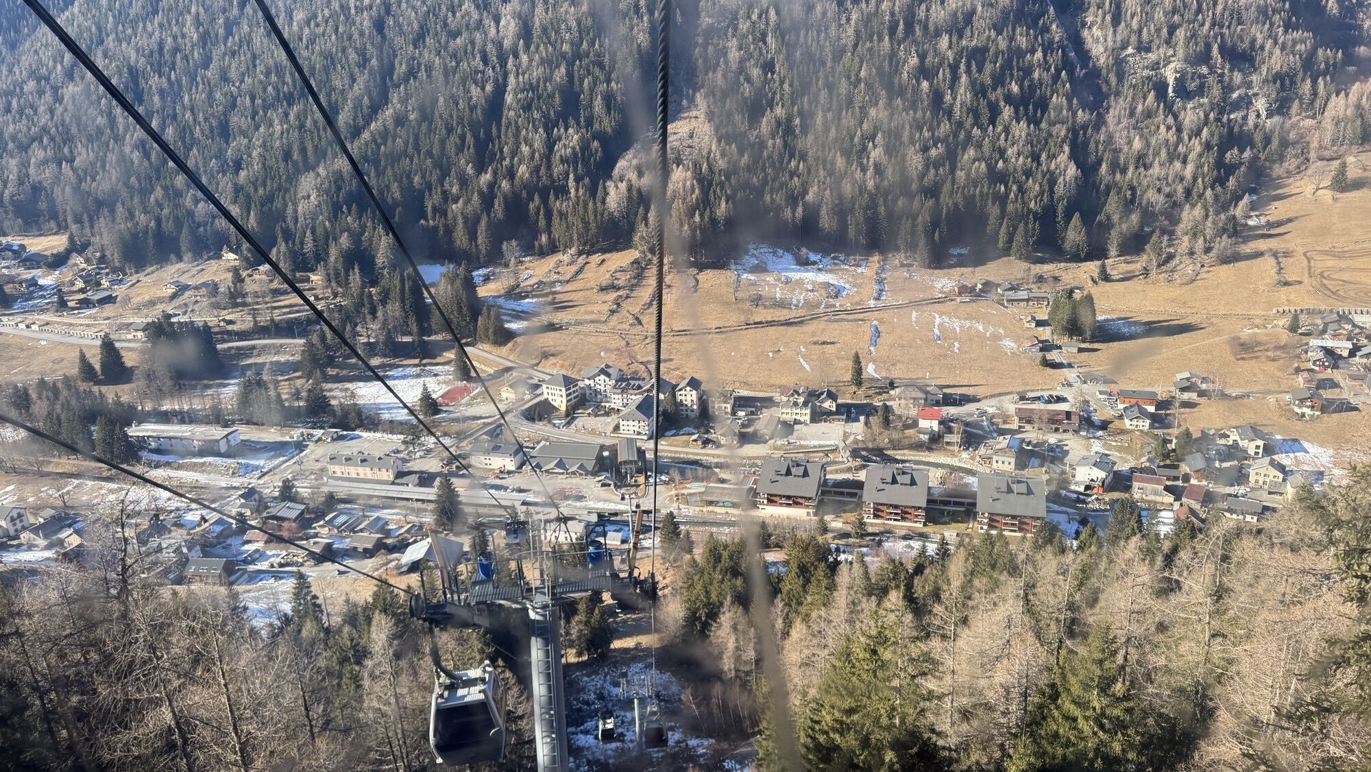
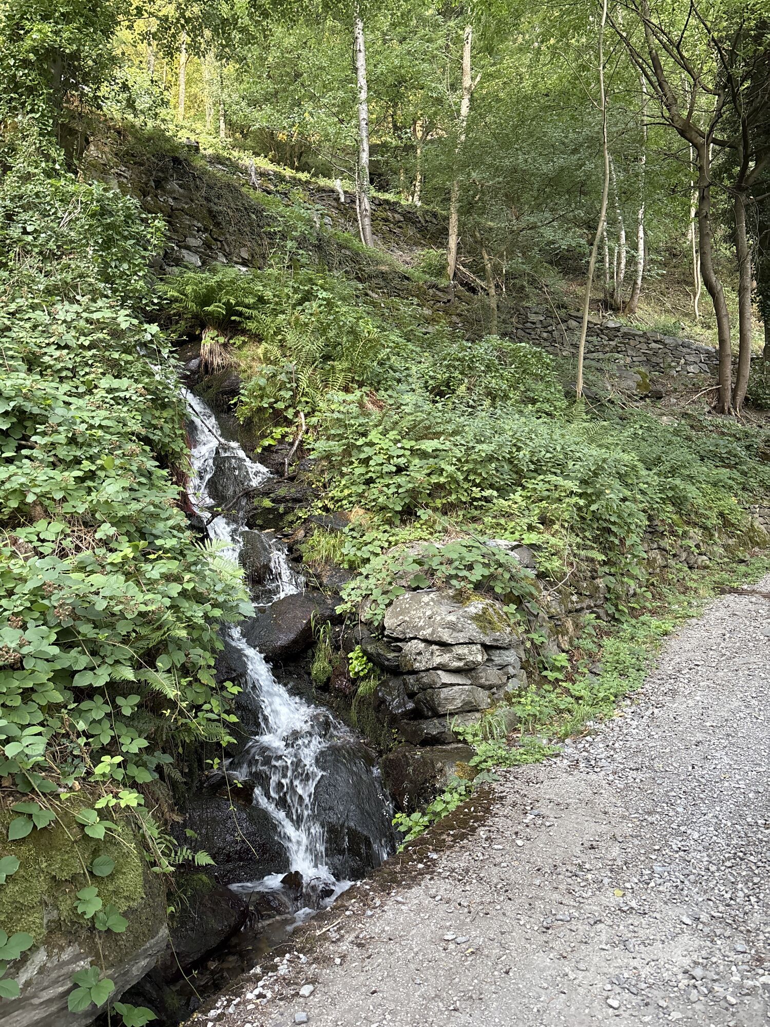
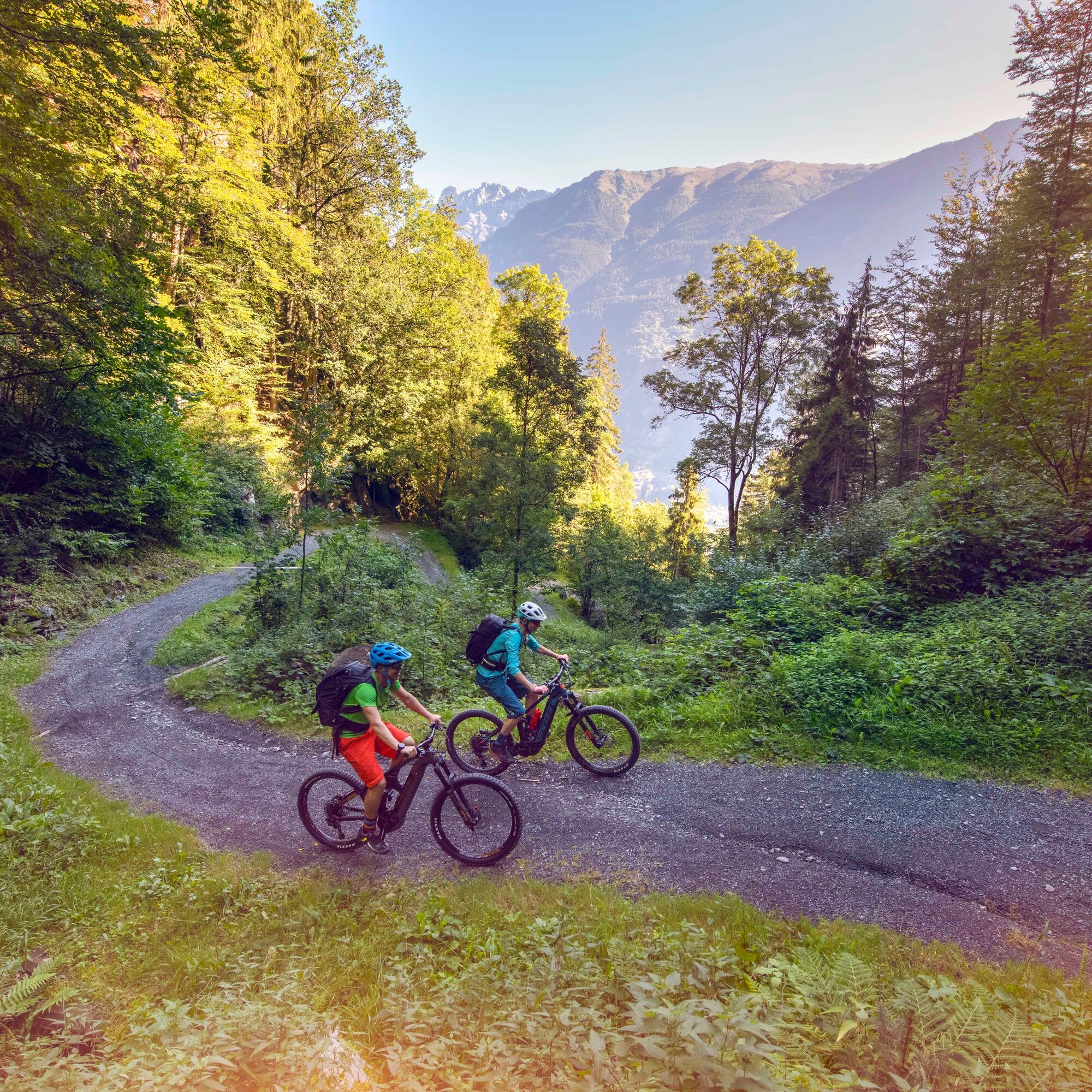
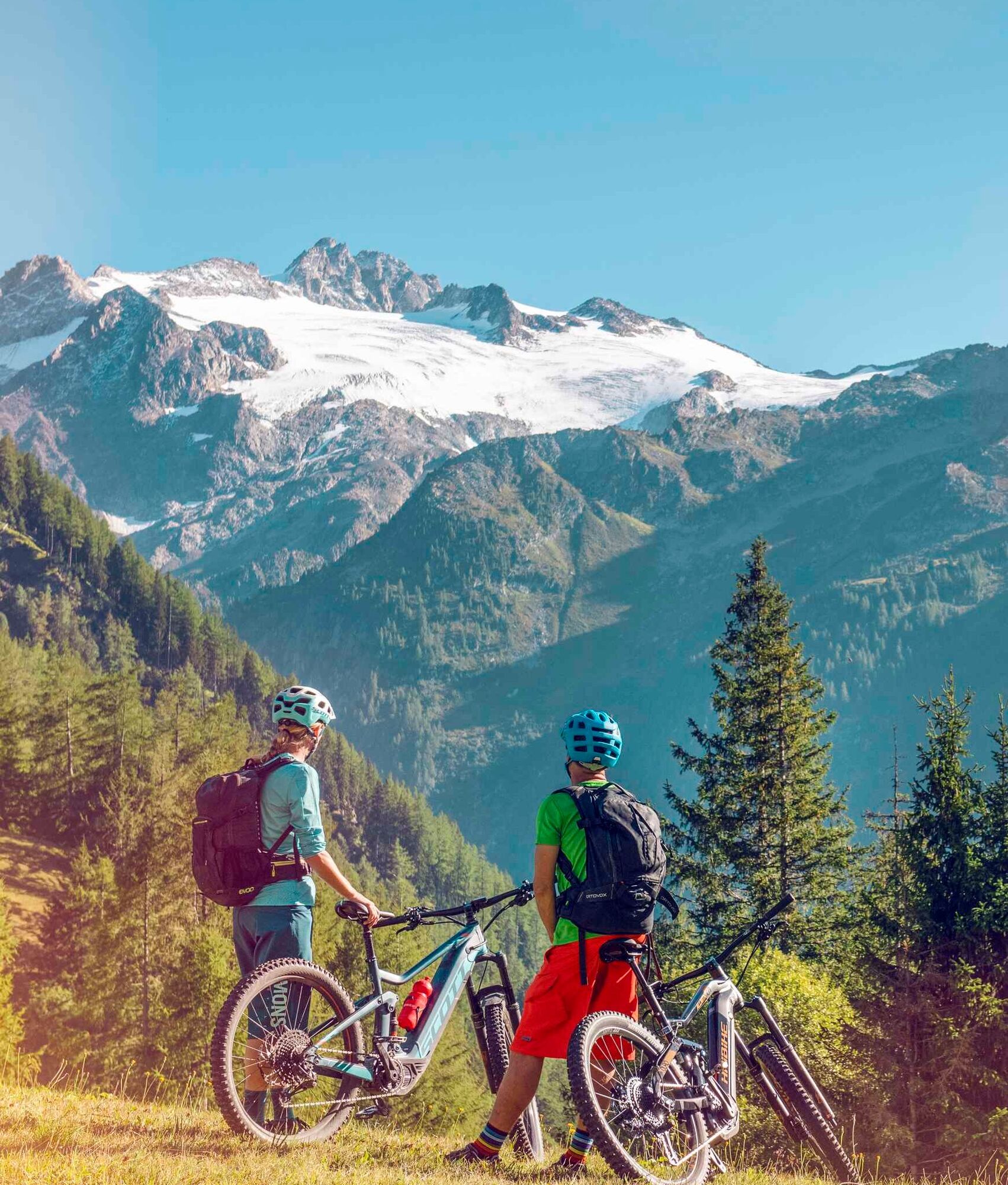
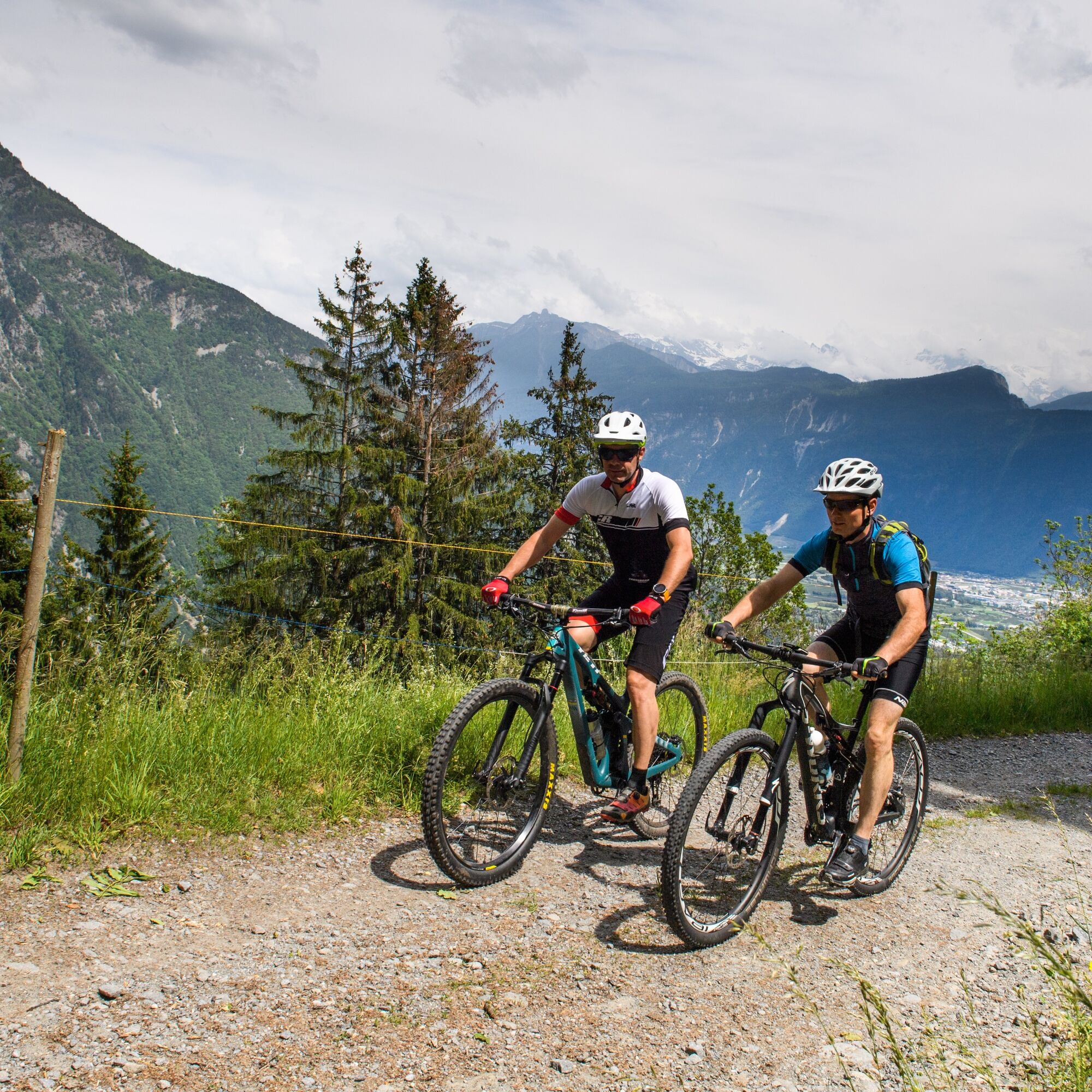
Fotografije naših uporabnikov
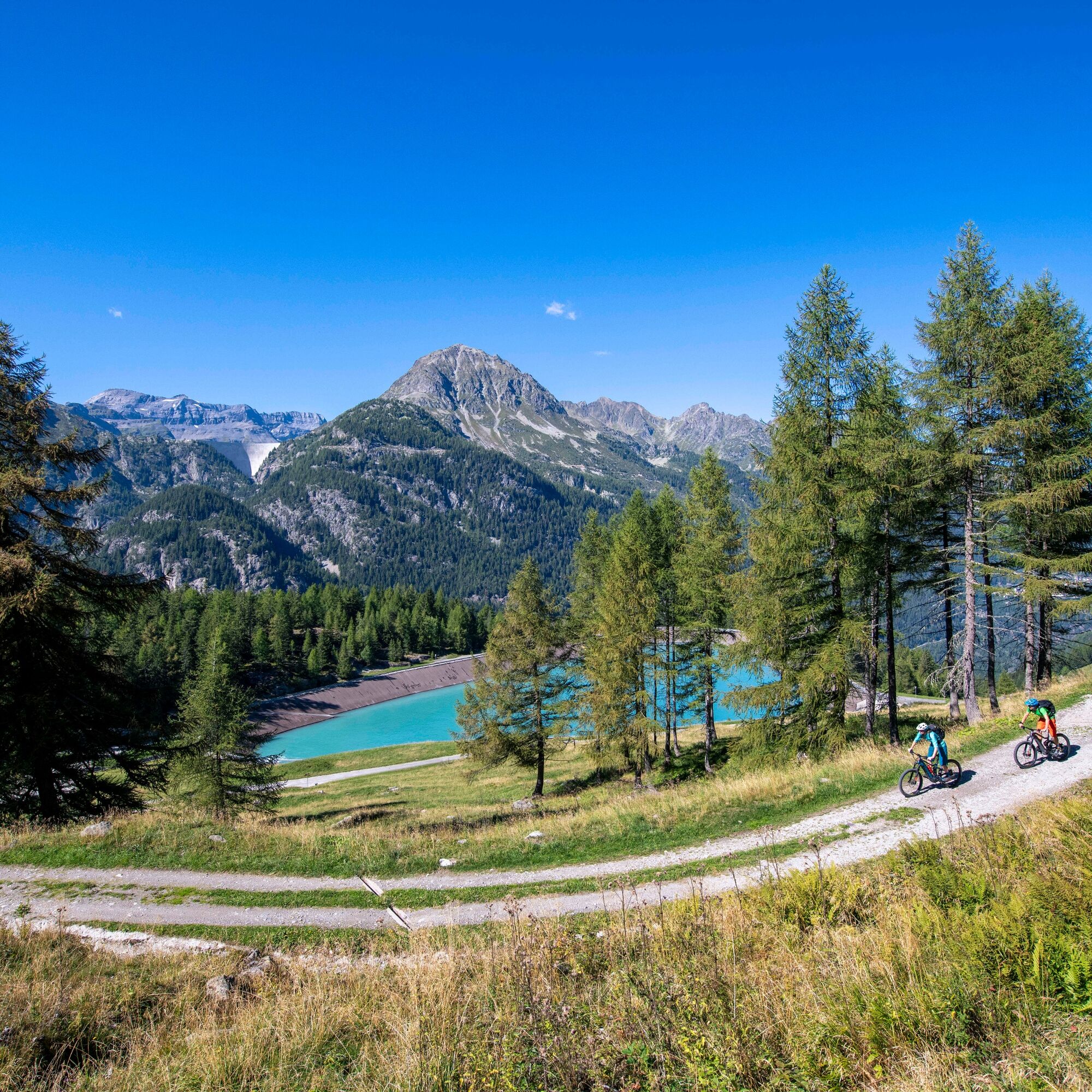
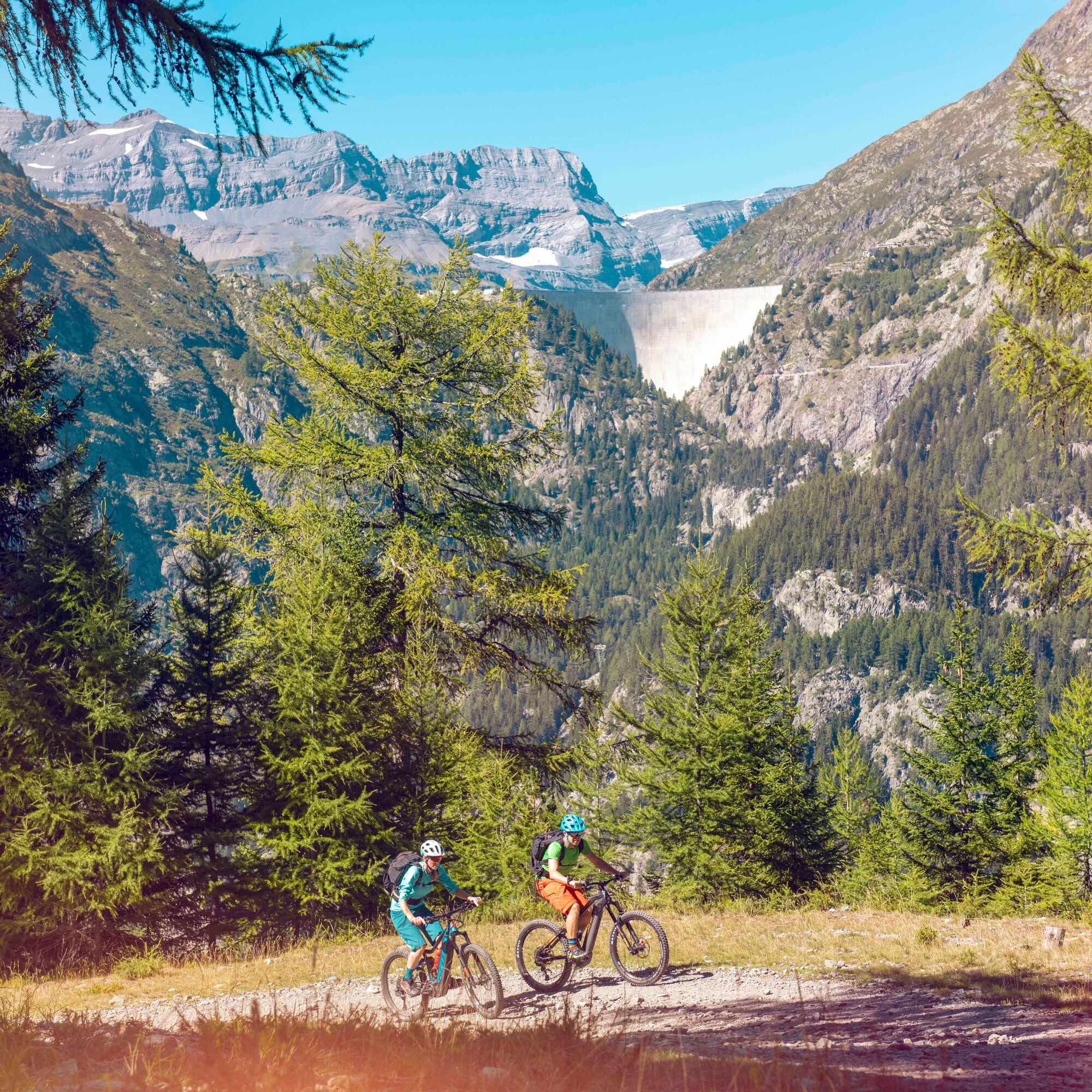
Breathtaking views of Mont Blanc, natural, wild-romantic and mysterious gorges, the extraordinary destination Emosson with its reservoir and dinosaur footprints, the Trient glacier and the Glacier des...
Breathtaking views of Mont Blanc, natural, wild-romantic and mysterious gorges, the extraordinary destination Emosson with its reservoir and dinosaur footprints, the Trient glacier and the Glacier des Grands, historic villages and a hospitable population – this mountain bike ride through the Trient valley will surprise and enchant you.

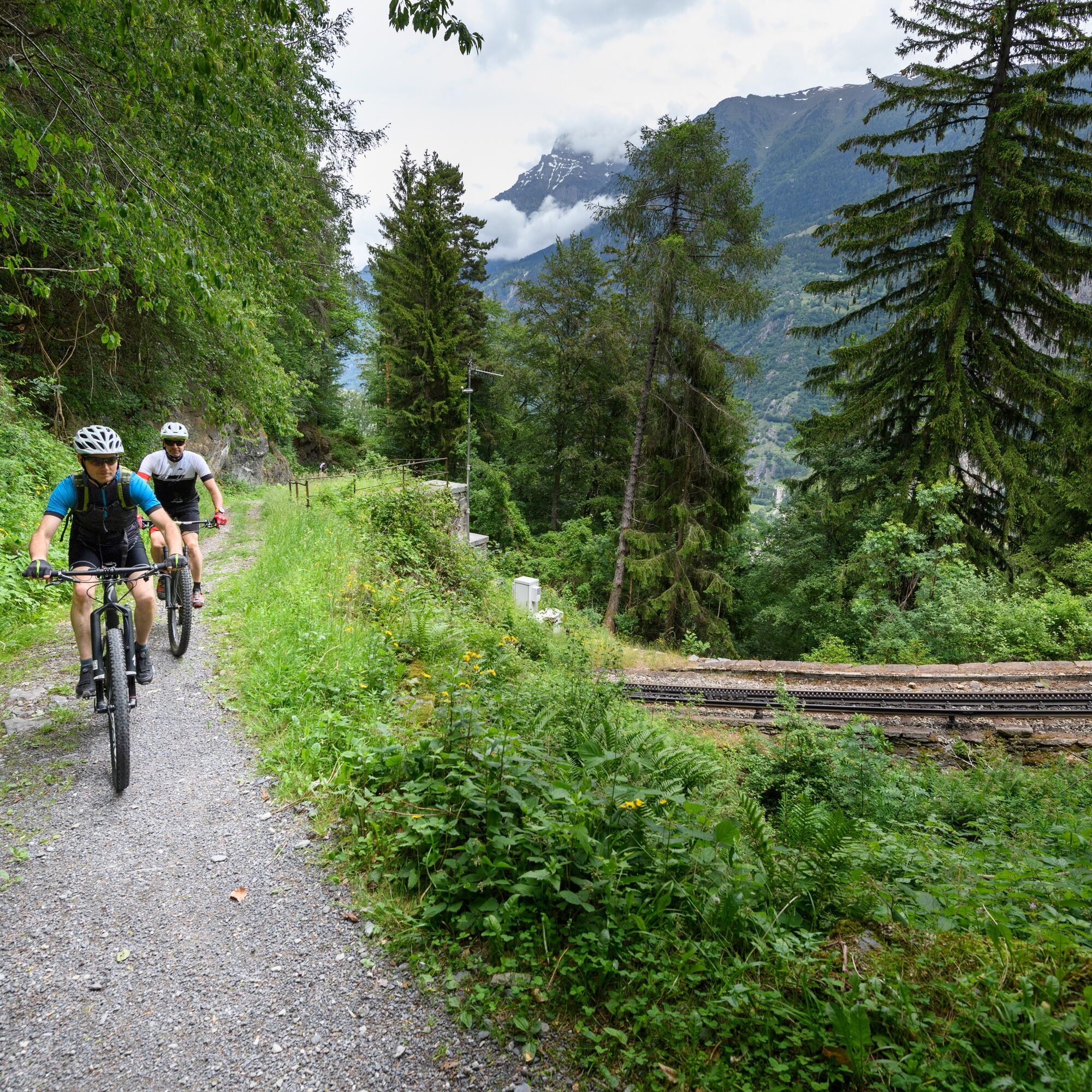
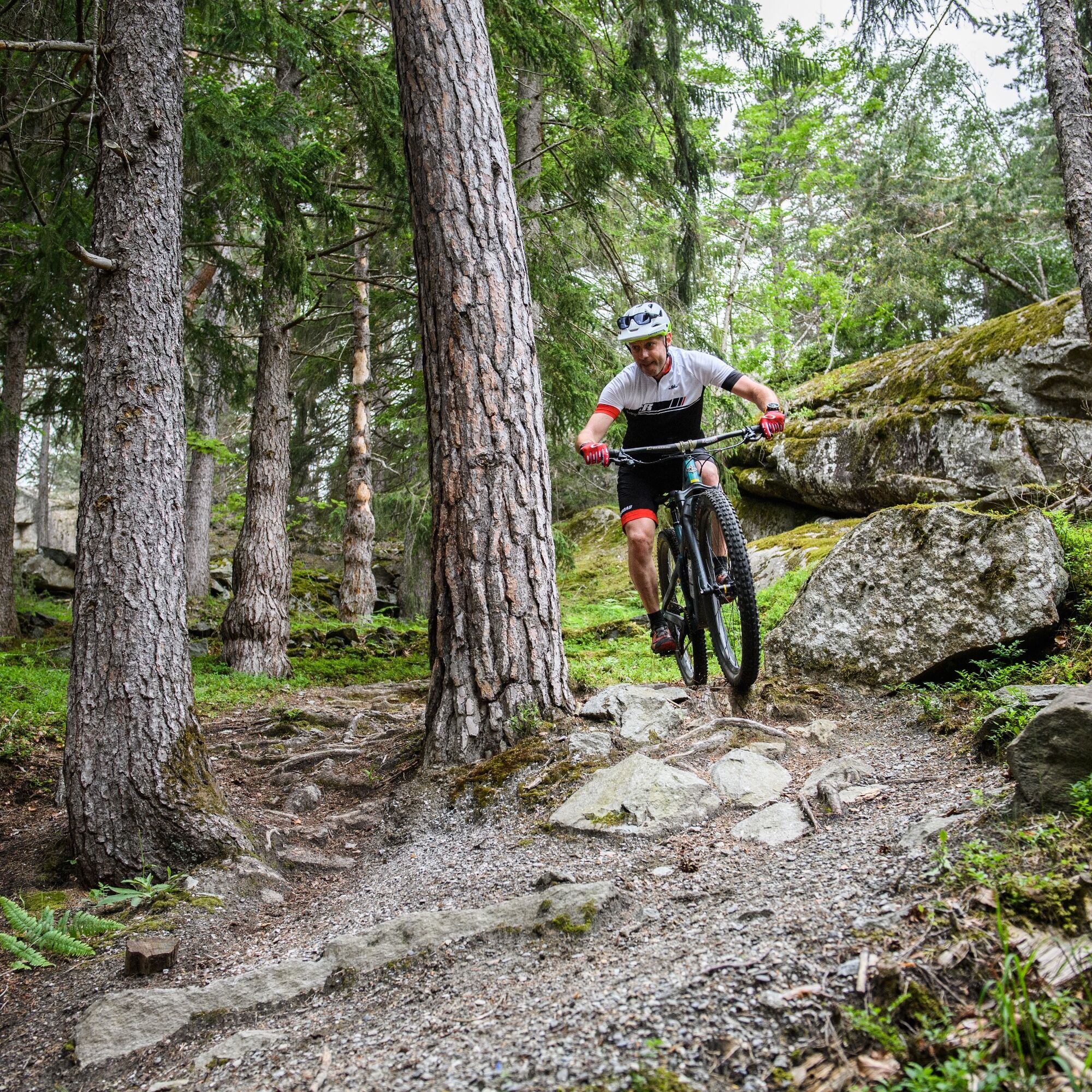
From Vernayaz, you follow the Route des Diligences. This was the first historic route from Martigny to Chamonix in the 19th century. The route then takes you through the villages of Salvan (934 m), Les Marécottes (1030 m), La Médettaz (1068 m), Le Trétien (1021 m), Finhaut (1224 m), Giétroz (1360 m), Châtelard-Village (1123 m), Châtelard-Frontière (1116 m) and Vallorcine (1260 m). After a short break, you continue towards Esserts (1549 m), Tête Noire (1199 m), Trient (1231 m) and finally to the Col de la Forclaz (1528 m). Enjoy the view of Martigny and the Rhone valley. Now the descent begins and you pass the small localities of La Fontaine (846 m) and Plan Cerisier (600 m) and finally reach the La Bâtiaz tower (574 m). The last stage takes you down to Vernayaz (453 m).
Da
Our recommendation: technically flawless bike, helmet, gloves and bell, clothing suitable depending on the weather (always with you: rain protection), drink and food.
Preparation for the mountain bike route
Part of the route is on French territory, so take your identity card or passport with you.
The mountain world is a place to meet and share unforgettable moments together – by bike or on foot. So that all users can benefit from it, it is essential to share this space with respect for nature and agriculture. Respectful behaviour enables everyone to enjoy their leisure activities under the best conditions. Inform yourself about recommendations and rules. Assess your own skills and fitness well. Riding the different routes is fundamentally at your own risk.
Take exit 21 "Martigny-Fully" on the A9 motorway and continue towards Martigny. Follow the road towards St-Maurice and on to Vernayaz.
A regional train runs every 30 minutes on the Simplon line to Vernayaz. Remember to reserve a place for your mountain bike via the SBB Mobile App or on sbb.ch.
Free parking is available at Vernayaz station (on the right-hand side at the village entrance).
S0
Possibilité de le faire en plusieurs étapes grâce au train à crémaillère du Mont-Blanc Express (www.mont-blanc-express.com)
Priljubljeni izleti v okolici
- 5.0
Sentier de Salanfe
srednjaPohodništvo 12.8 km - 5.0
Huts of Orny and Trient
težkoPohodništvo 13.4 km - 5.0
Circular hike Roc Coupé – Bonavau – Champéry
srednjaPohodništvo 12.1 km Tour du Grand Chavalard
srednjaPohodništvo 14.9 km- 3.5
Lac d'Emosson - Gorge de la Veudale - Col de la Terrasse - Lac du Vieux Emosson zurück nach Lac d'Emosson
srednjaPohodništvo 14.3 km - 4.5
Galerie Défago
svetlobaPohodništvo 8.81 km - 4.0
Circular hike to the Lacs d’Antème
težkoPohodništvo 16.3 km - 4.5
Vineyard terrace hike in Martigny
svetlobaPohodništvo 6.36 km - 5.0
Champéry - Sous Scex
Pohodništvo 2.41 km Champéry - Seen von Antème
Pohodništvo 14.8 km
Pohodništvo in sledenje


Ne zamudite ponudb in navdiha za naslednje počitnice
Vaš e-poštni naslov je bil dodan na poštni seznam.