







Two-day hike with overnight stay in a cabin

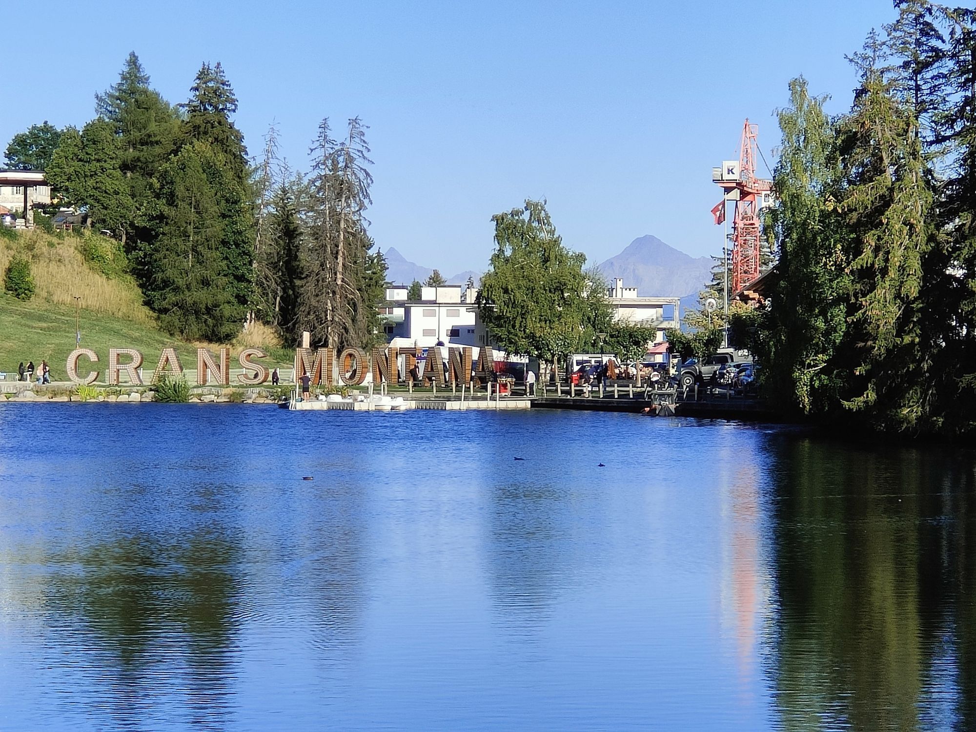
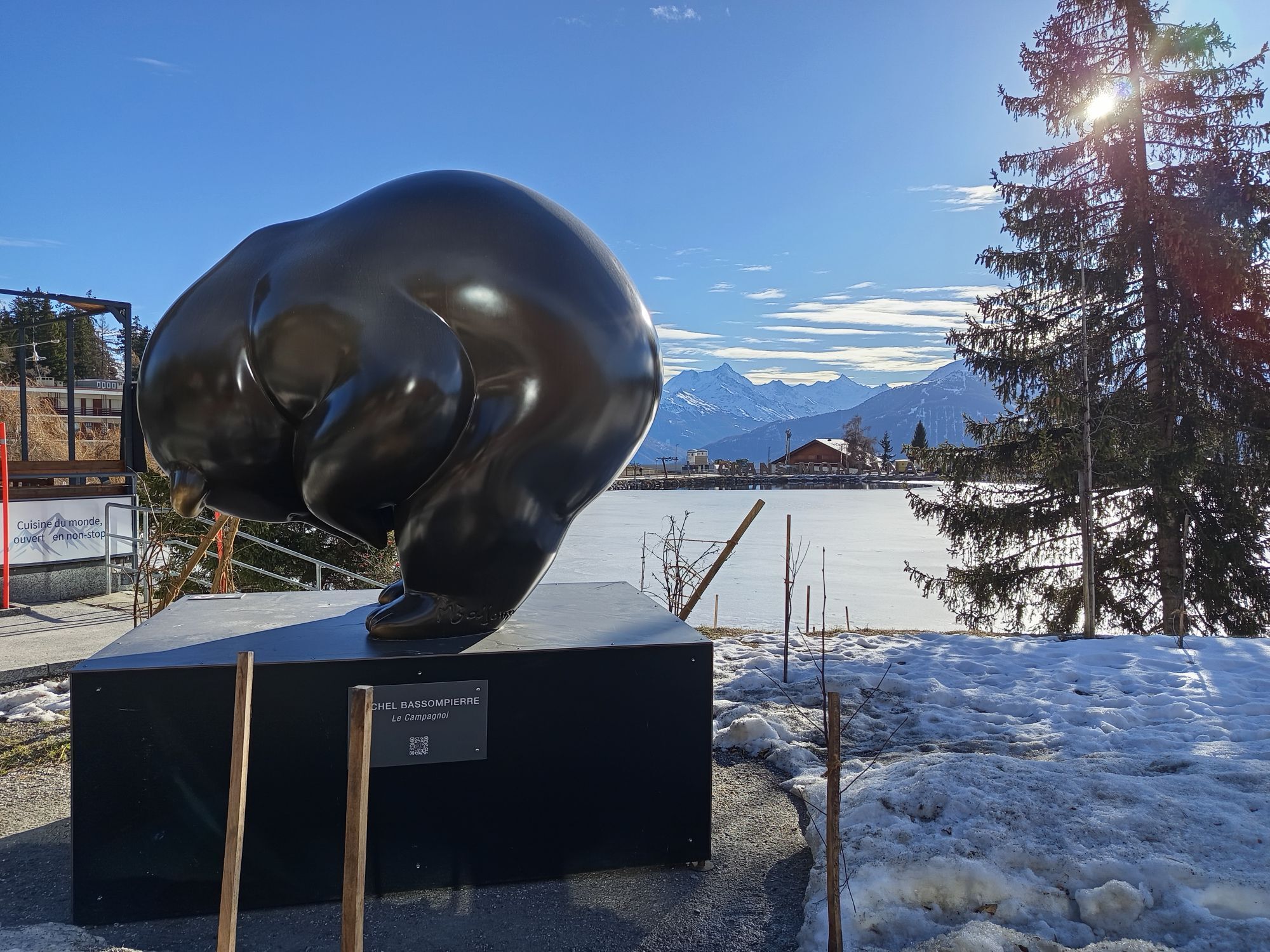
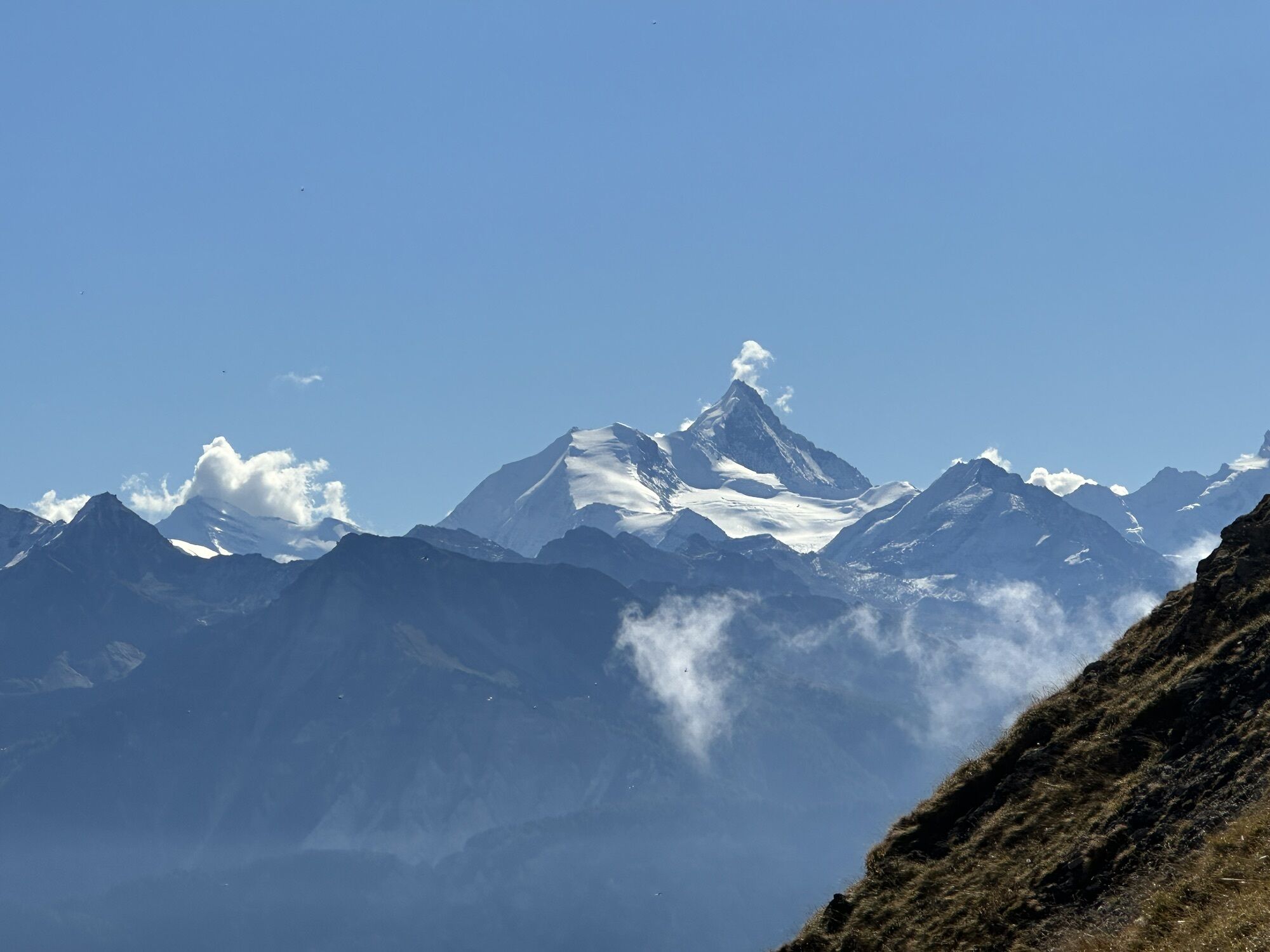
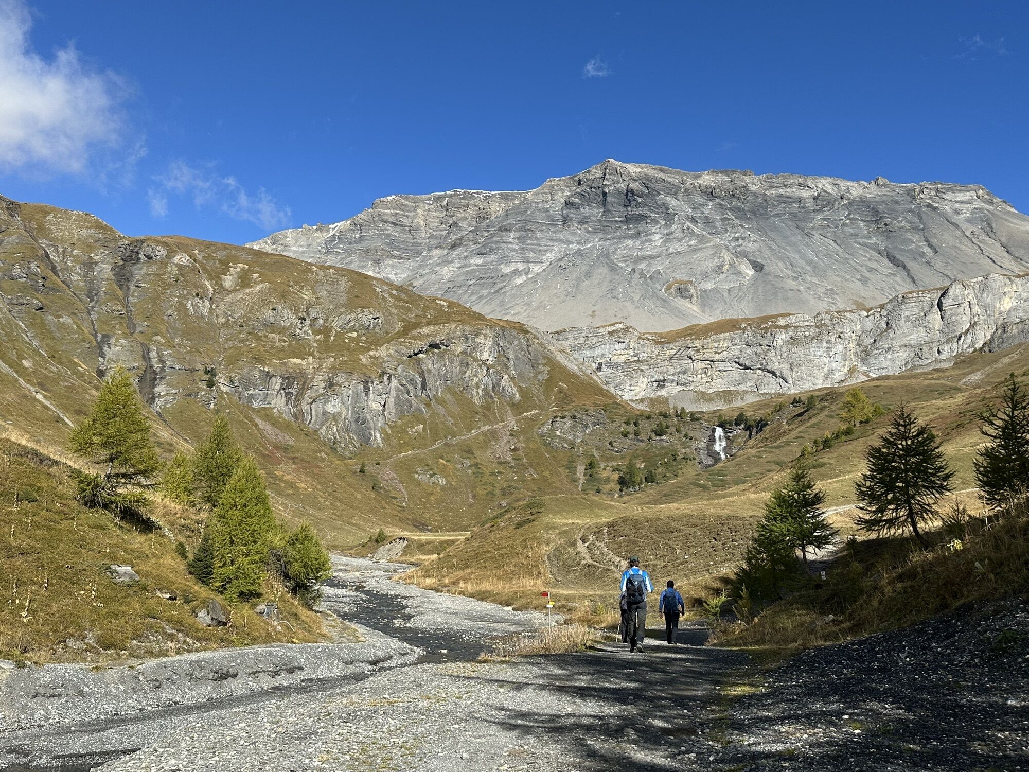
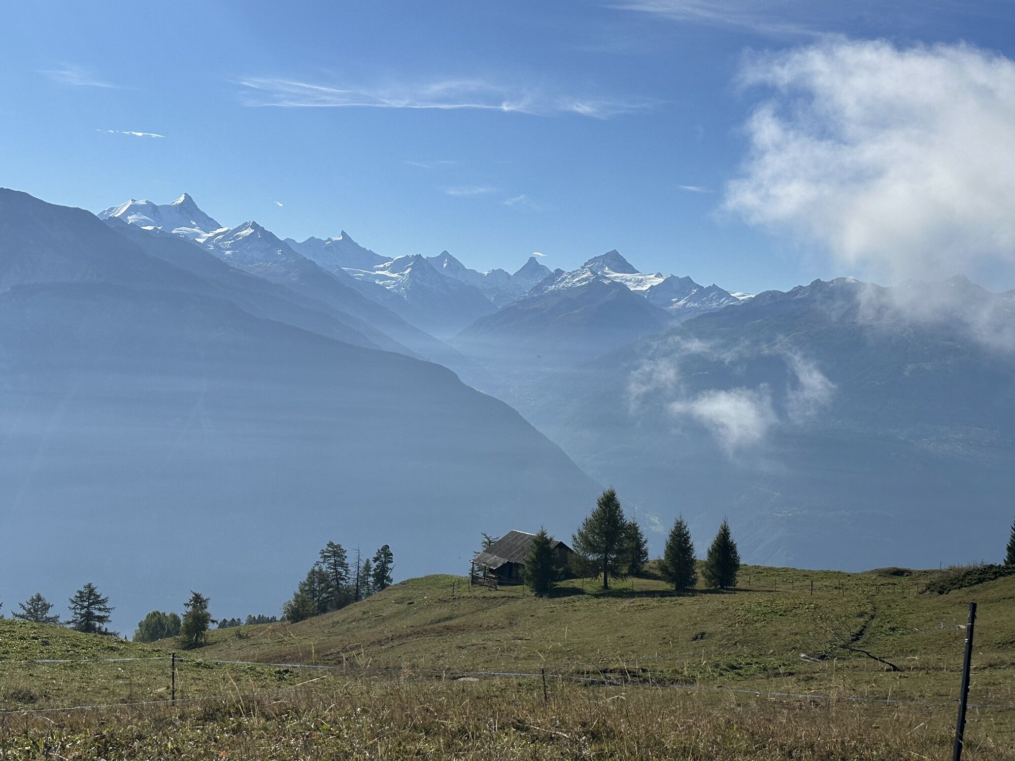
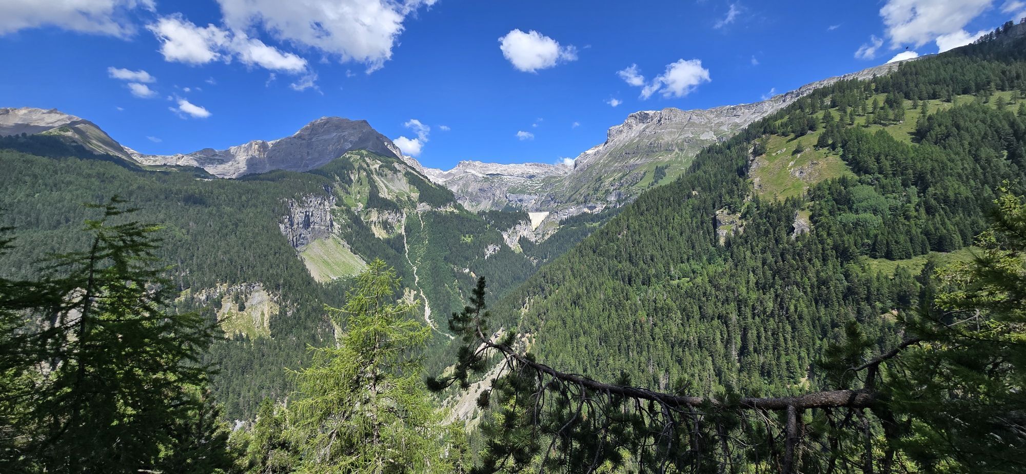
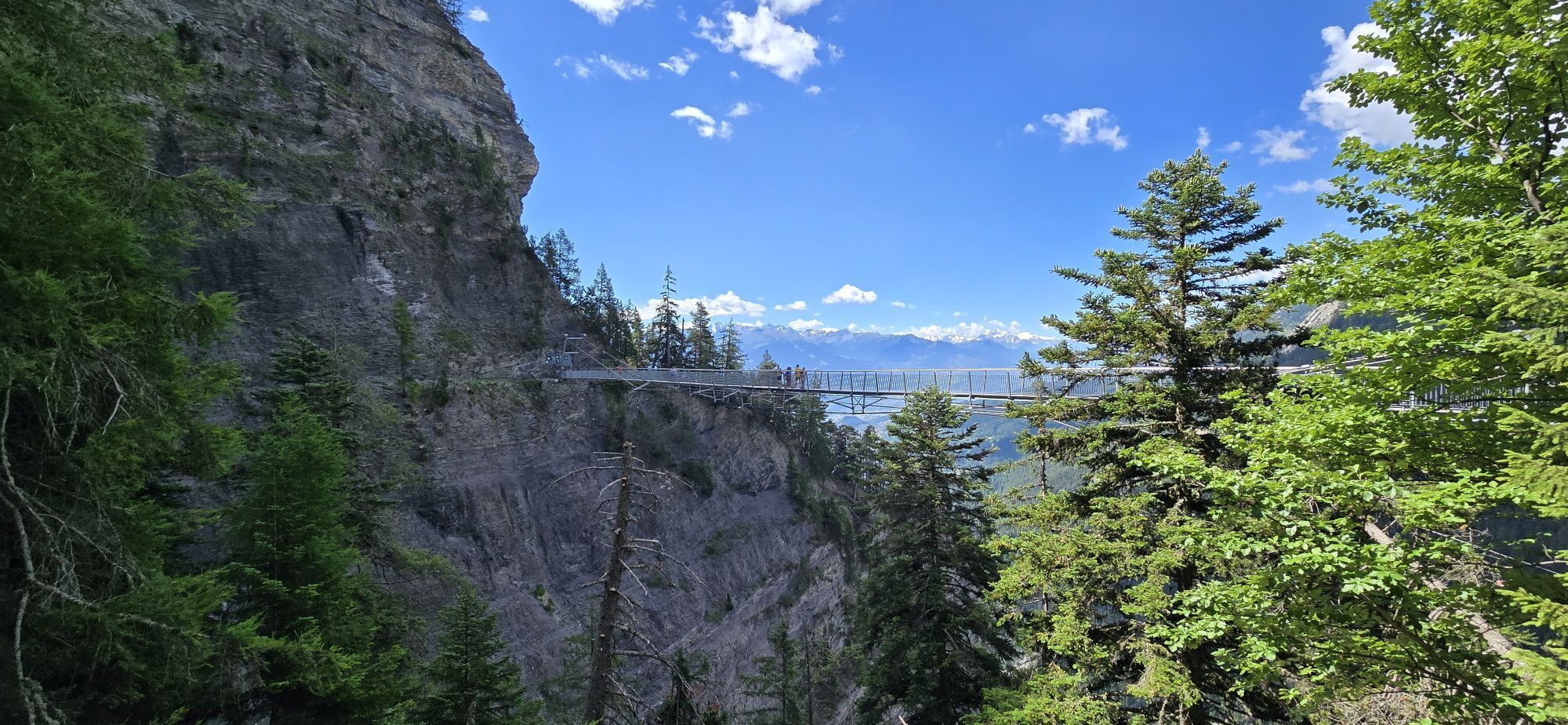
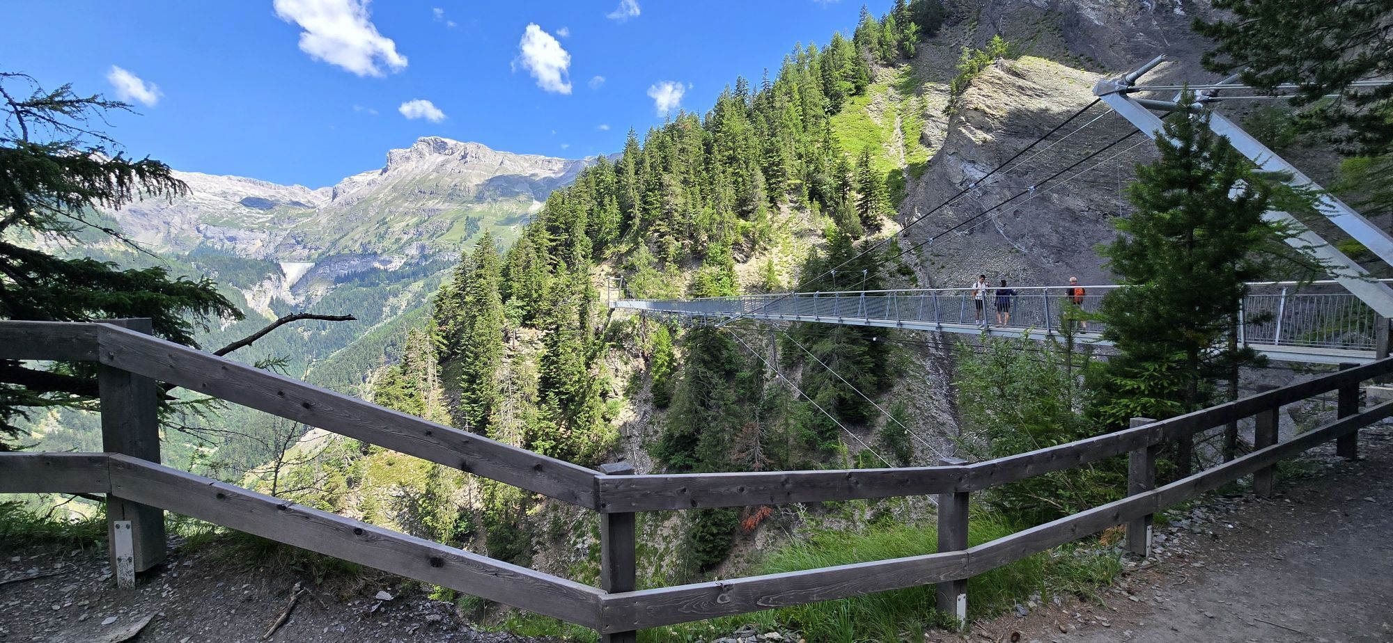
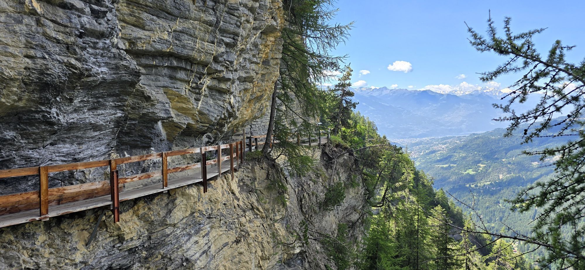
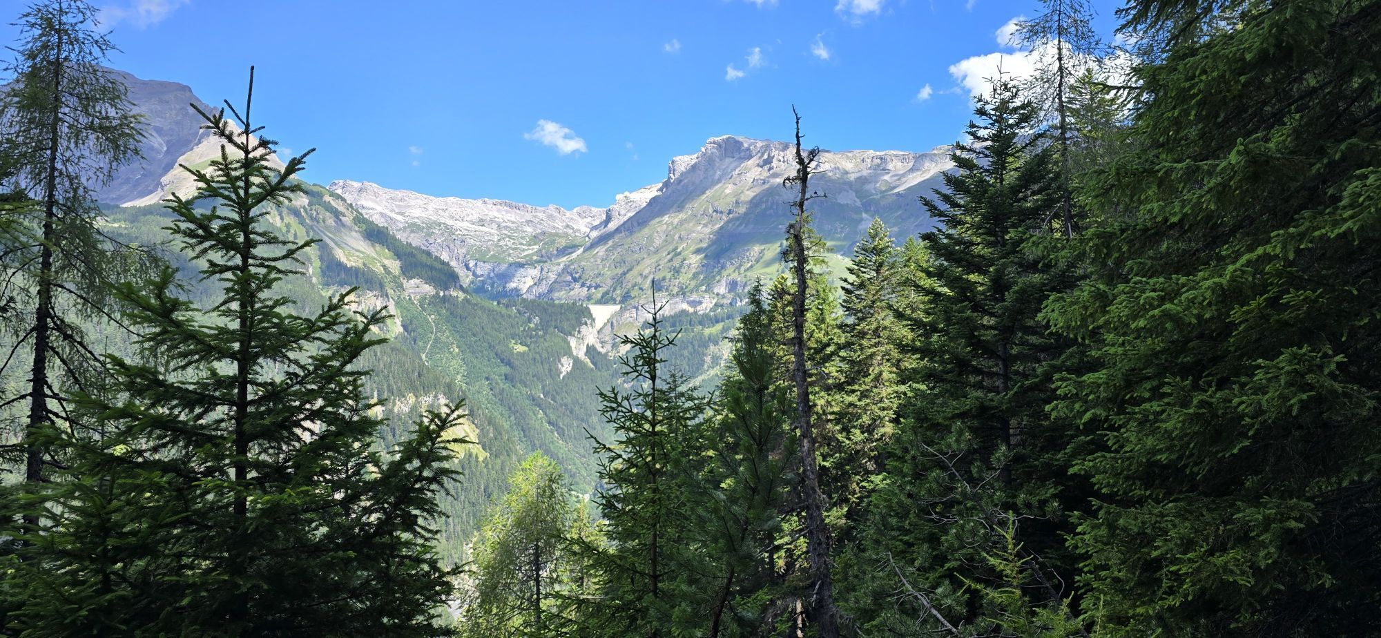
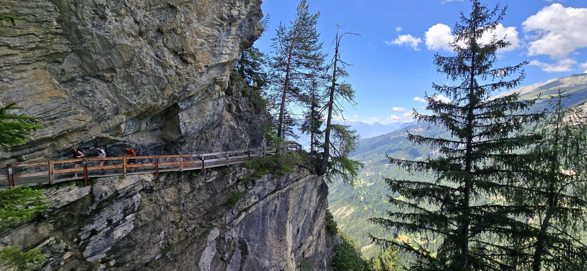
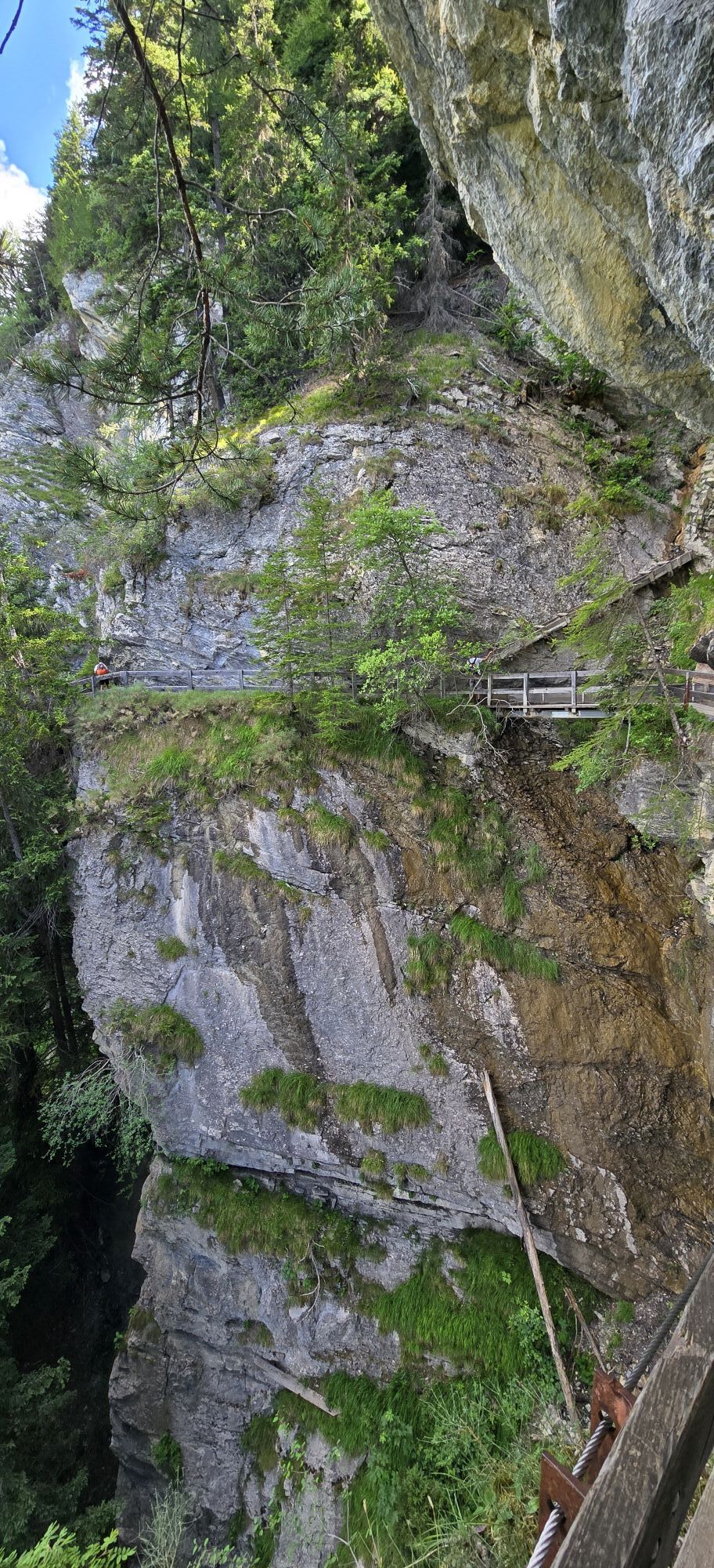
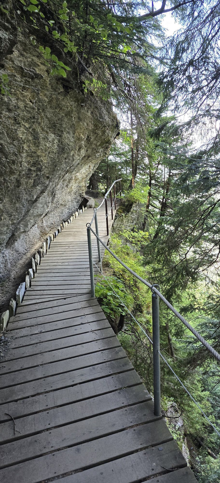
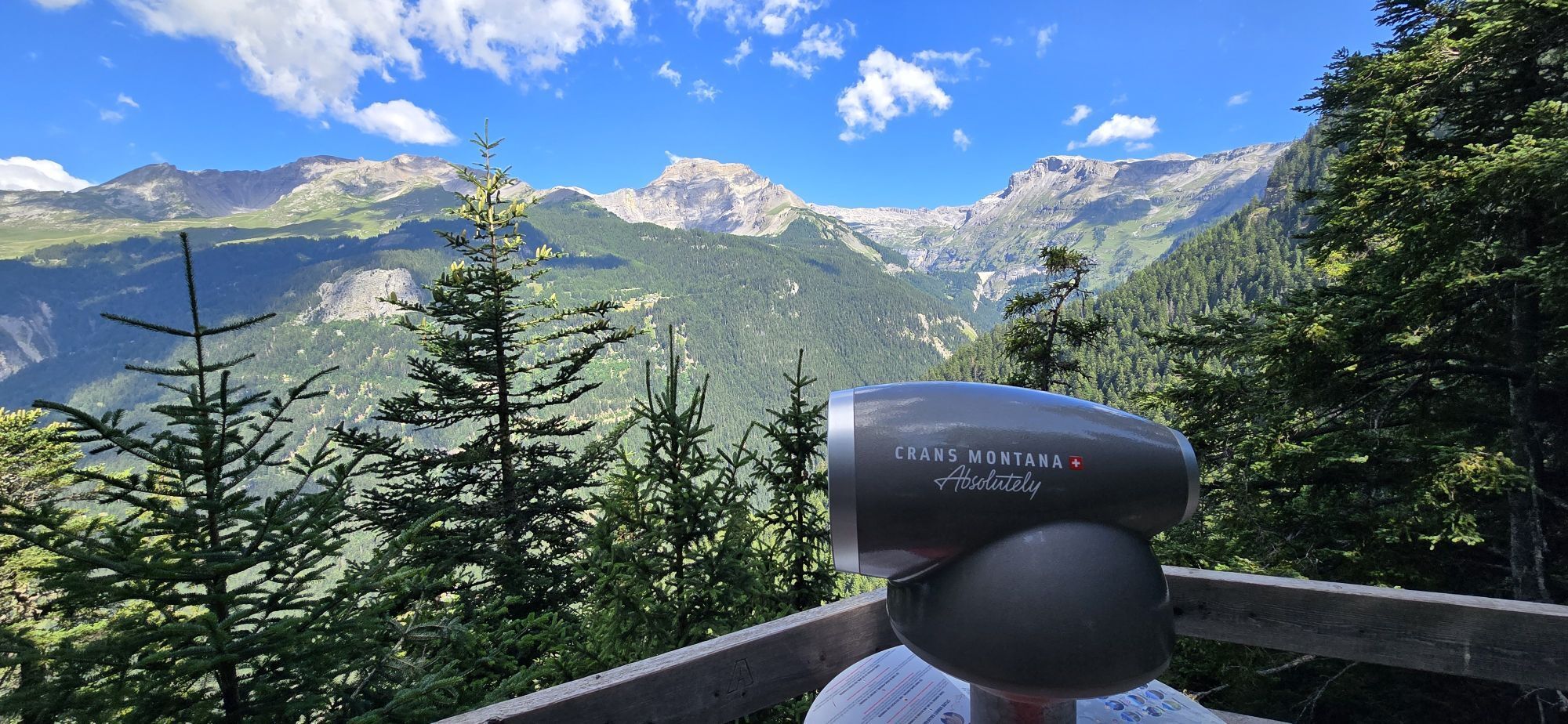
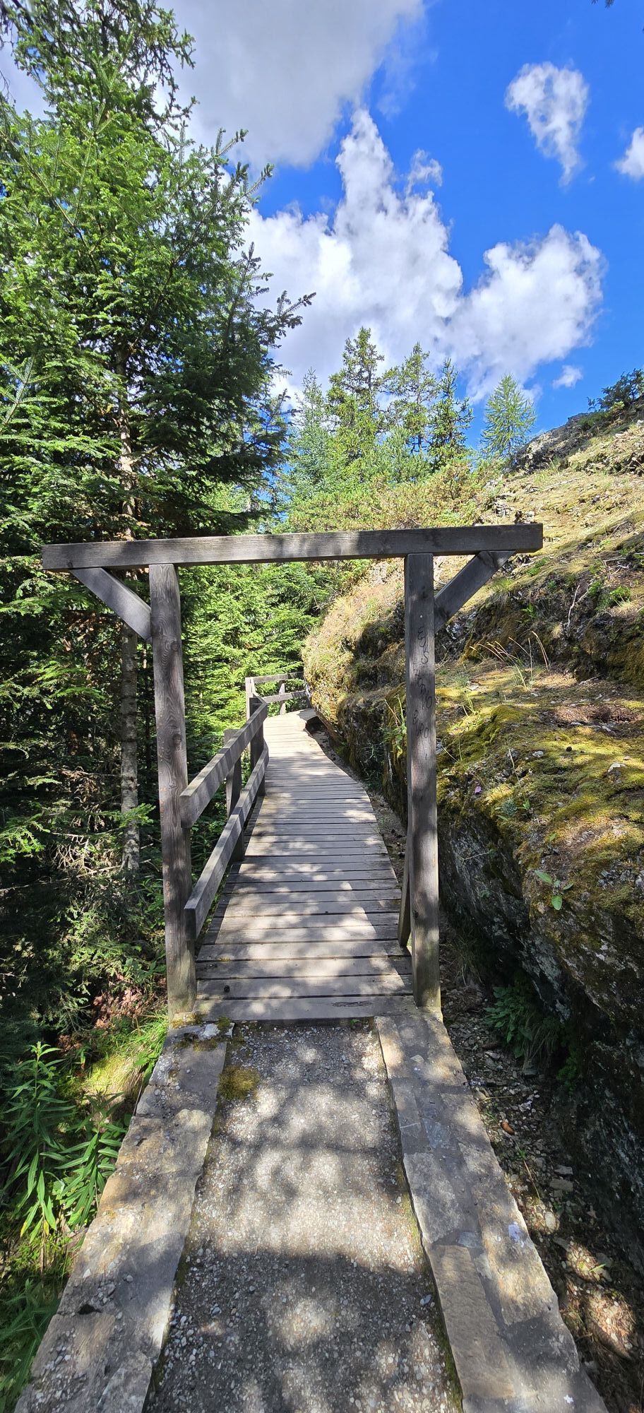
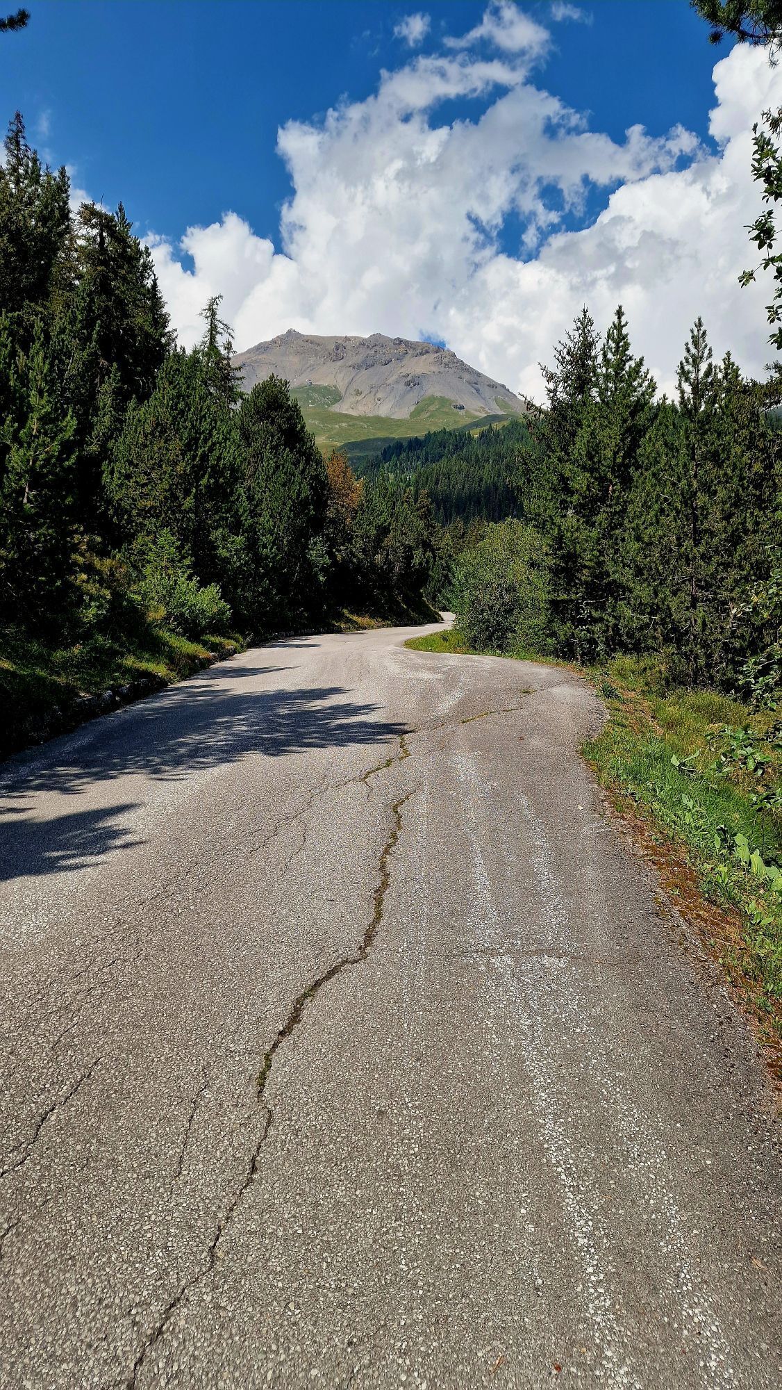
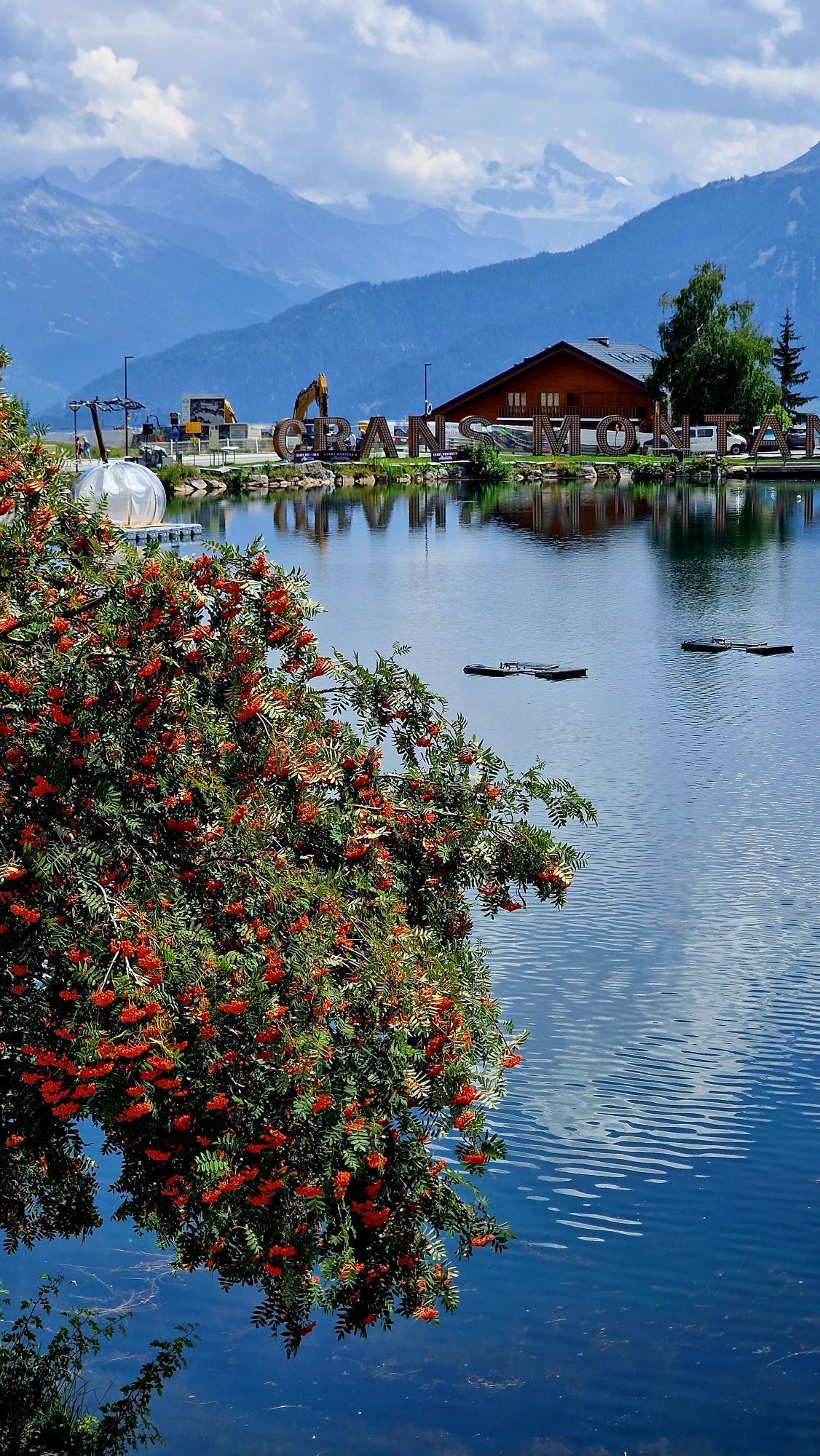
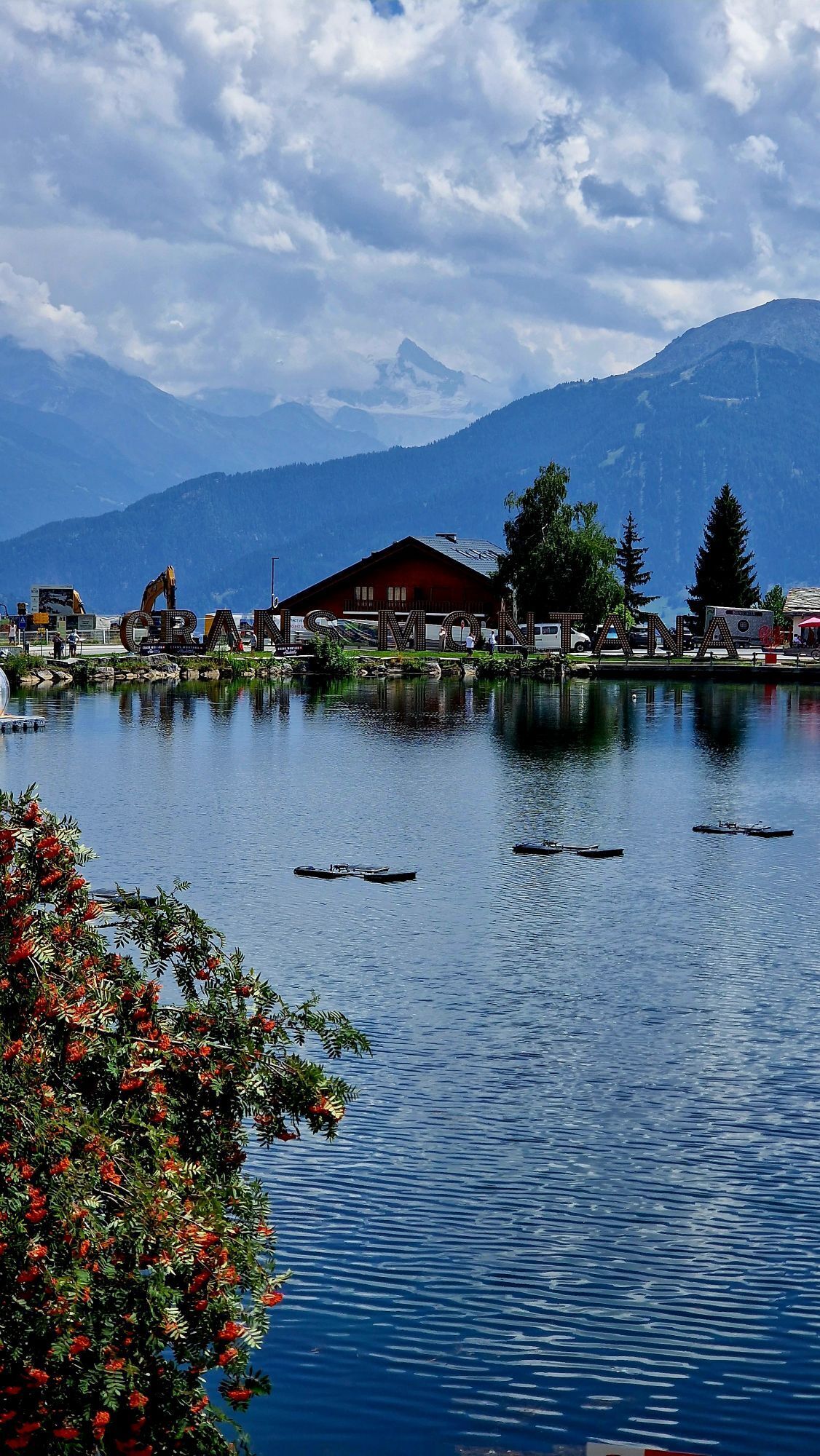
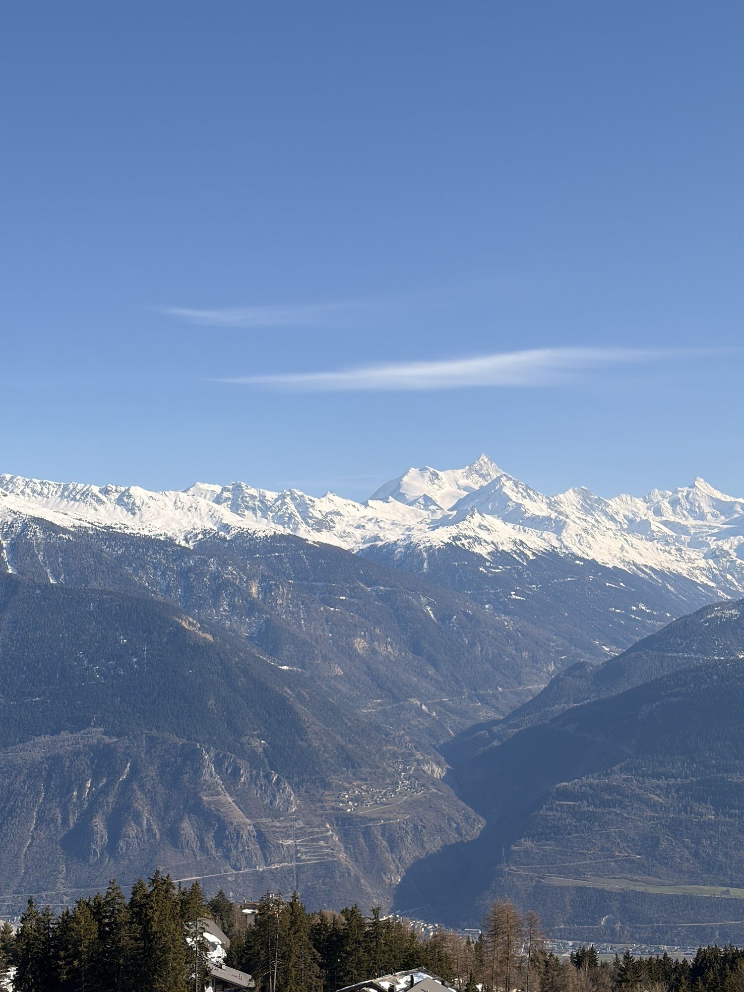
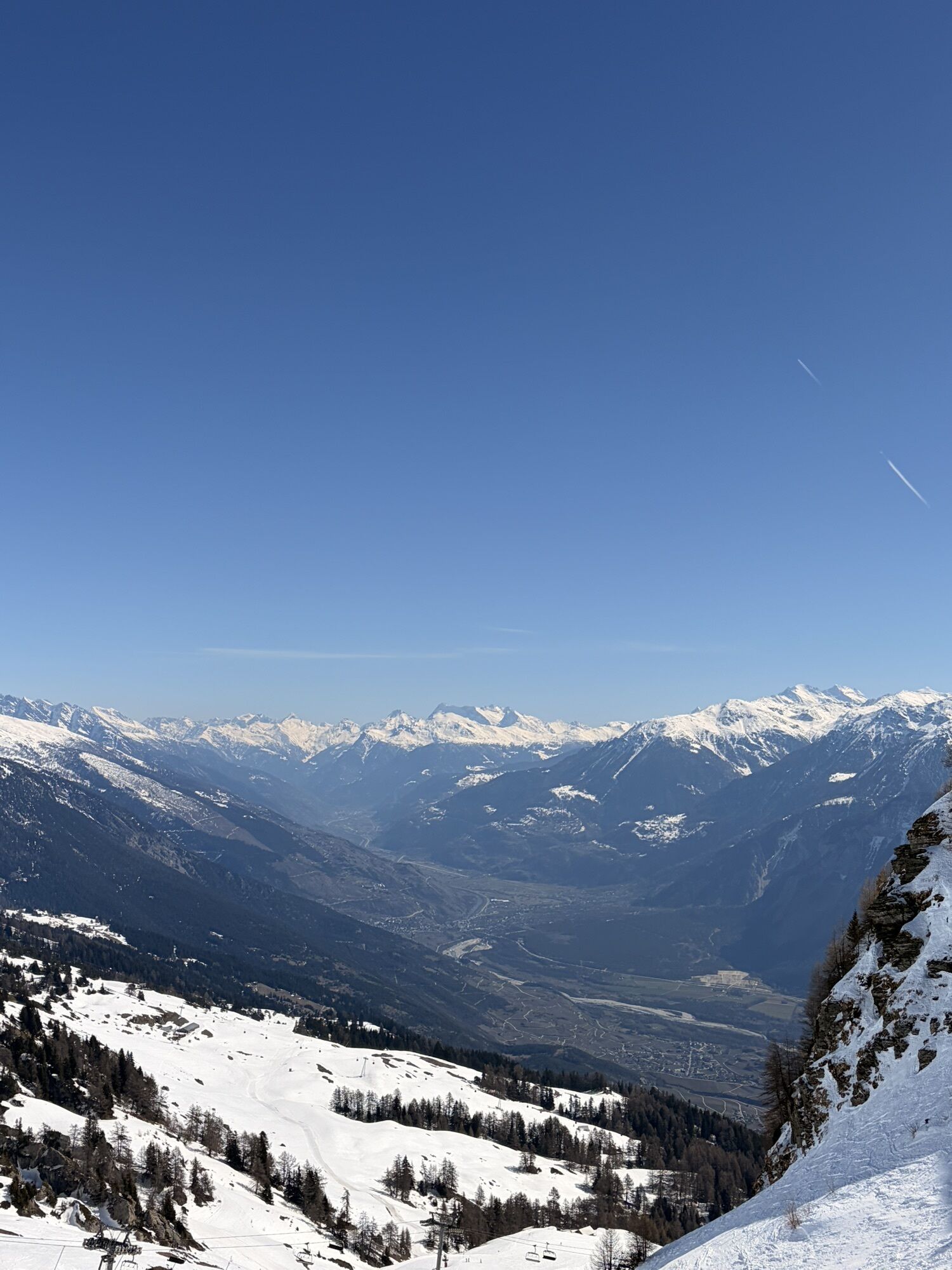
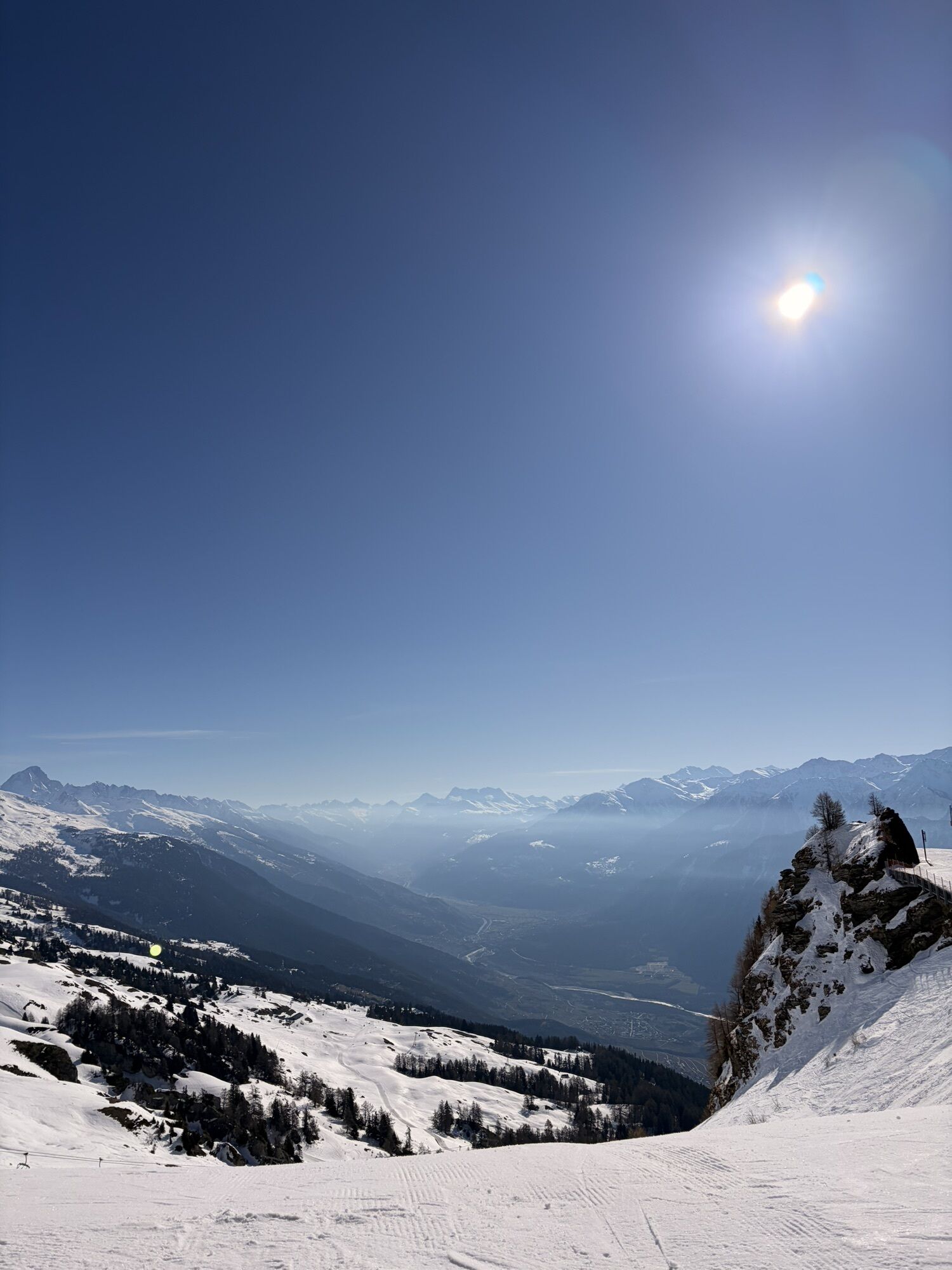
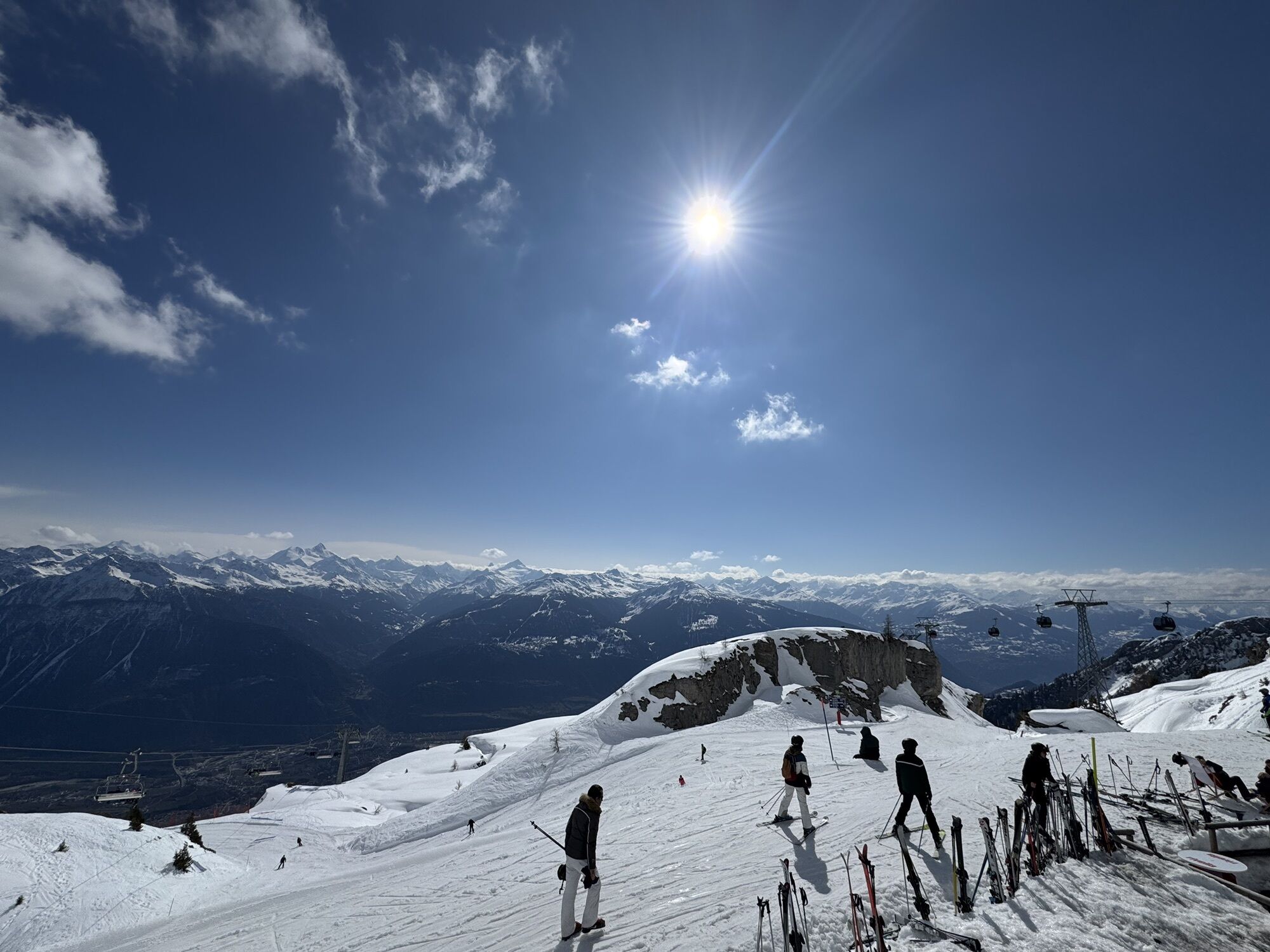
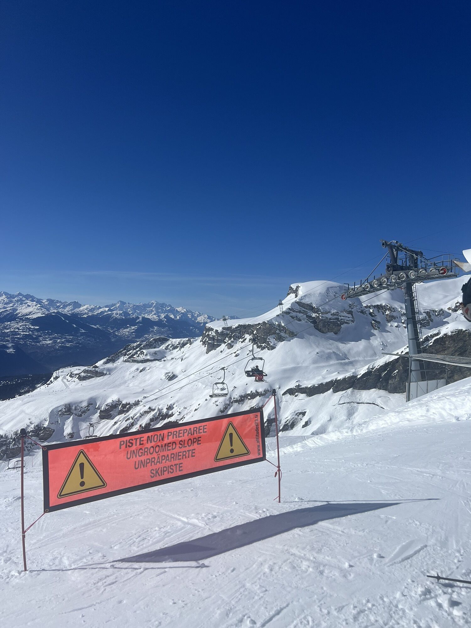
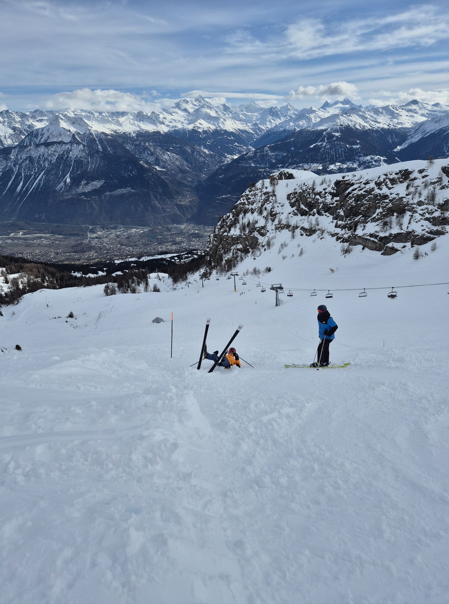
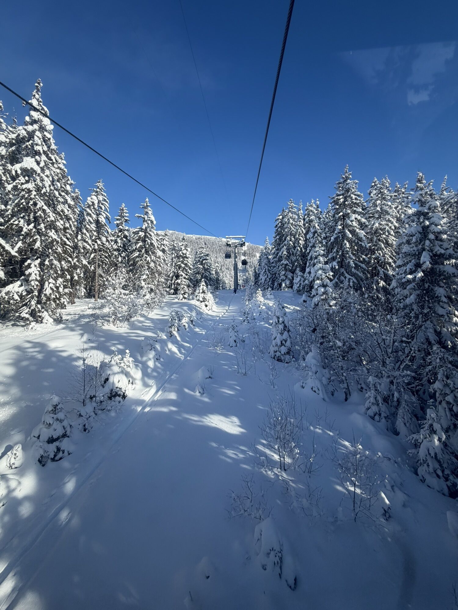
This two-day hike takes you on the most spectacular trails of Crans-Montana.
You start by venturing on the Bisse du Ro. This construction of about 5.5 km truly illustrates the difficulties faced by the...
This two-day hike takes you on the most spectacular trails of Crans-Montana.
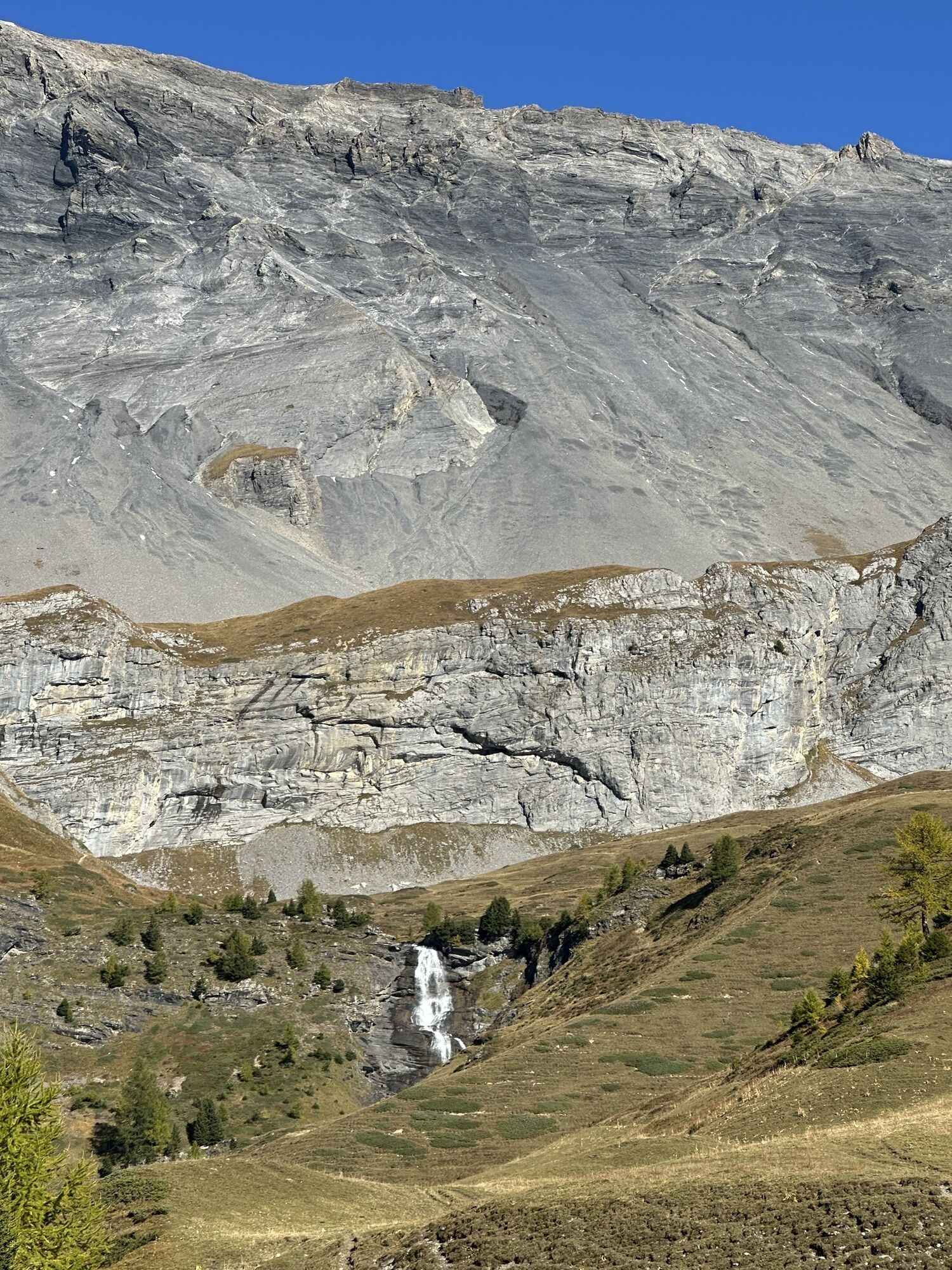
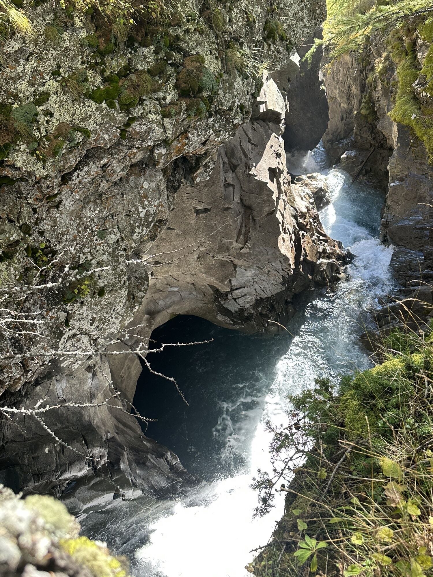
You start by venturing on the Bisse du Ro. This construction of about 5.5 km truly illustrates the difficulties faced by the inhabitants of our regions at the end of the Middle Ages and the ingenuity they had to show in the struggle to supply water necessary for their survival. Indeed, the bisse crosses several times rocky diagonals, smooth-sloping corridors, forest on scree, and important avalanche zones. Moreover, the footbridge gives you strong sensations and access to a spectacular panorama. The Bisse du Ro is not recommended for people subject to vertigo.
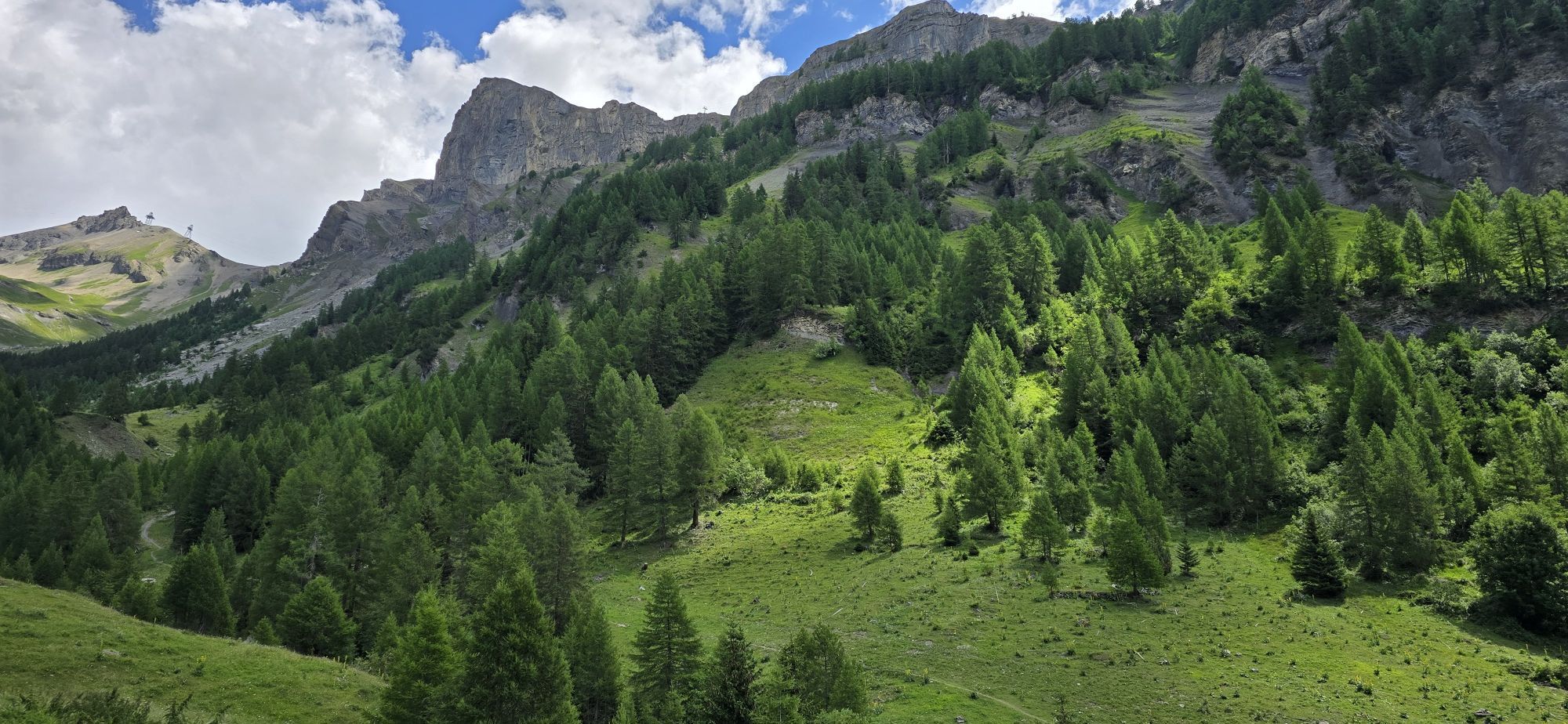
After a steep ascent to Cry d'Er, through a difficult and vertiginous passage equipped with ropes, the path leading to Violettes evolves in greenery sprinkled with limestone scree appreciated by marmots. In the evening, stay at the Cabane des Violettes before continuing the route the next day. The cabin can be reserved at +41 27 481 39 19.
The hike continues the next day around Petit Mont Bonvin, then into the wild Tièche Valley, towards the ecomuseum and Colombire relay.
Finally, you will have to reach the resort either by walking along the Bisse du Tsittoret towards Vermala or descending to Aminona from where the bus will take you back to the center of Crans-Montana.

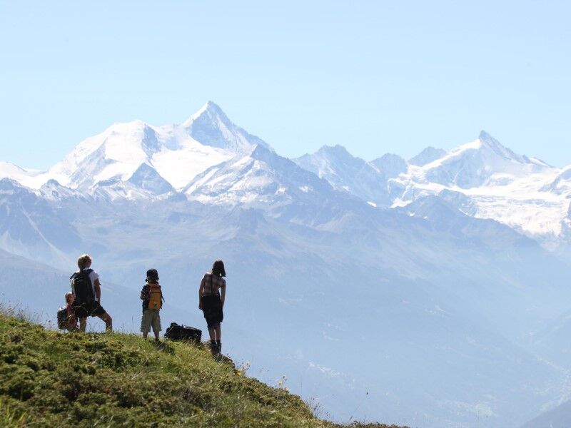
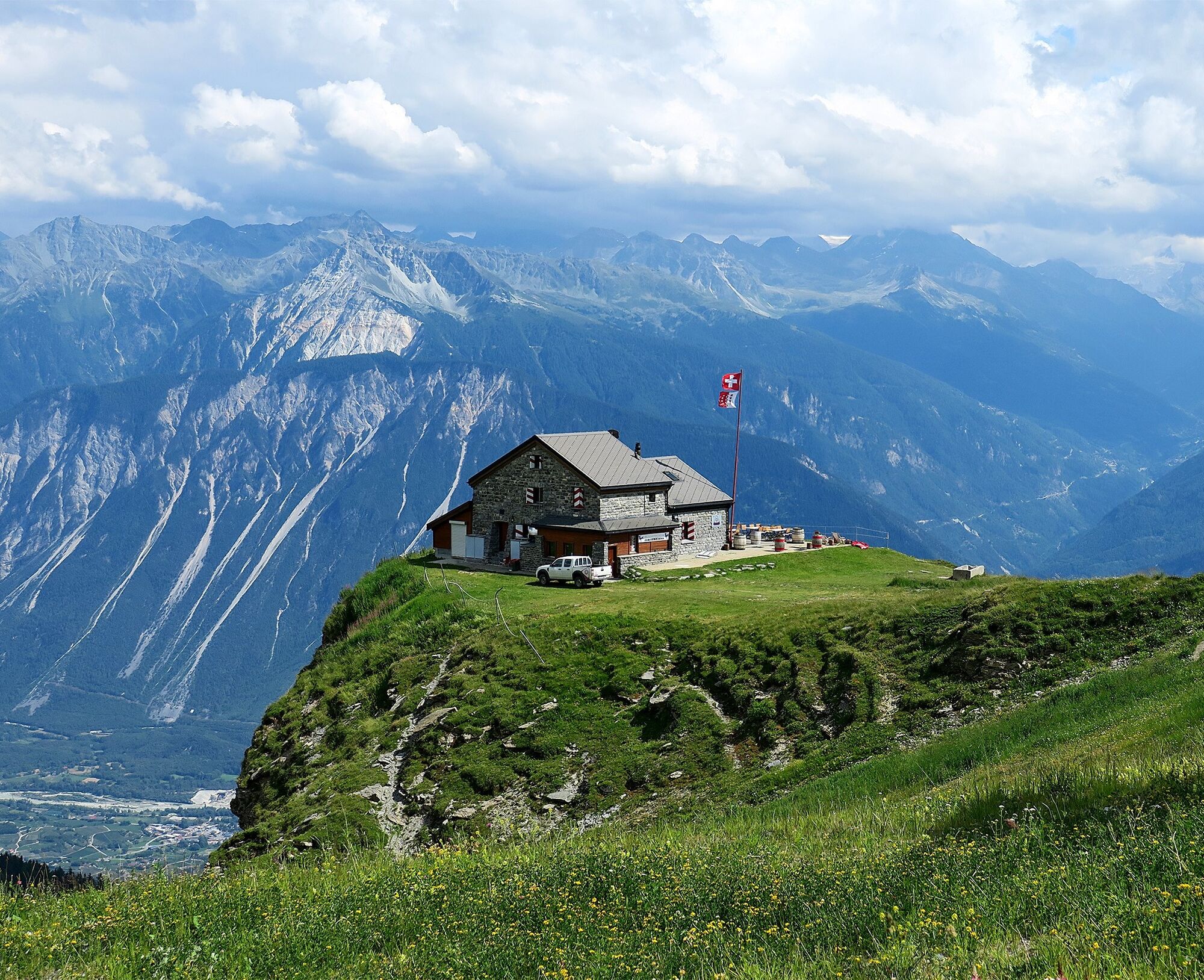
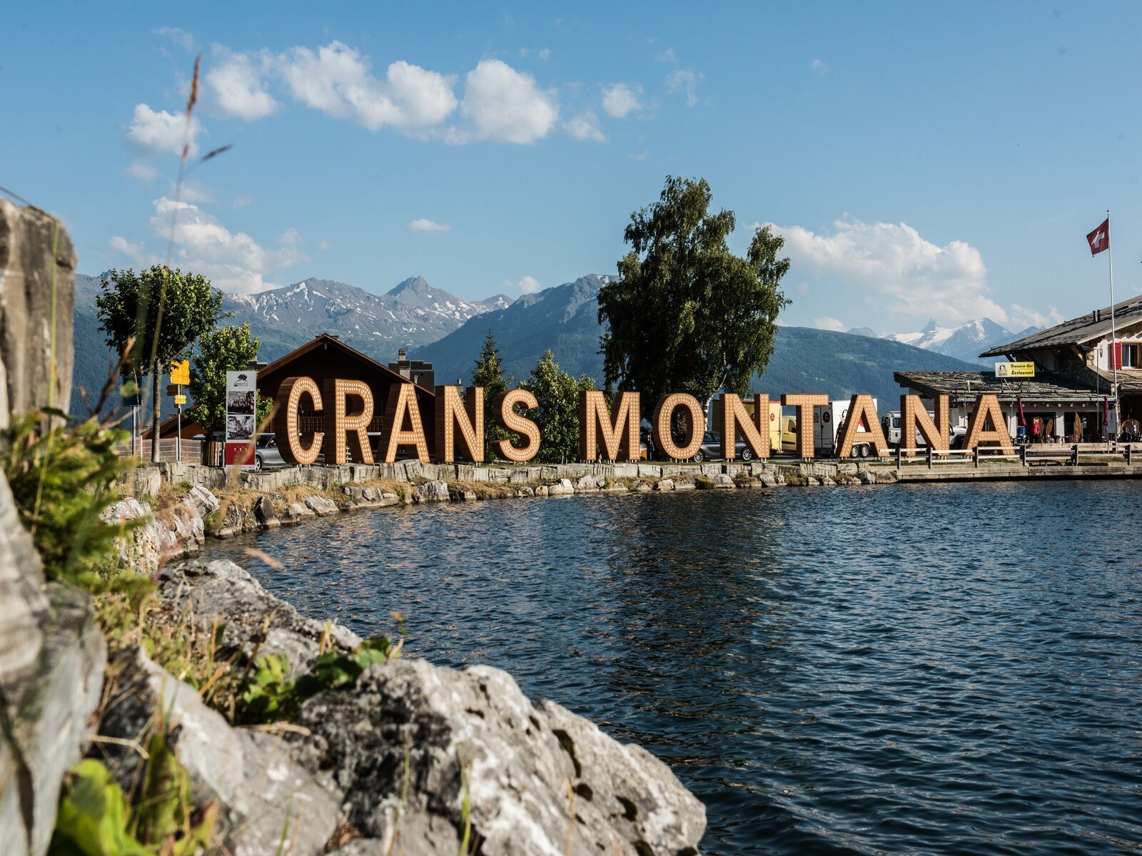
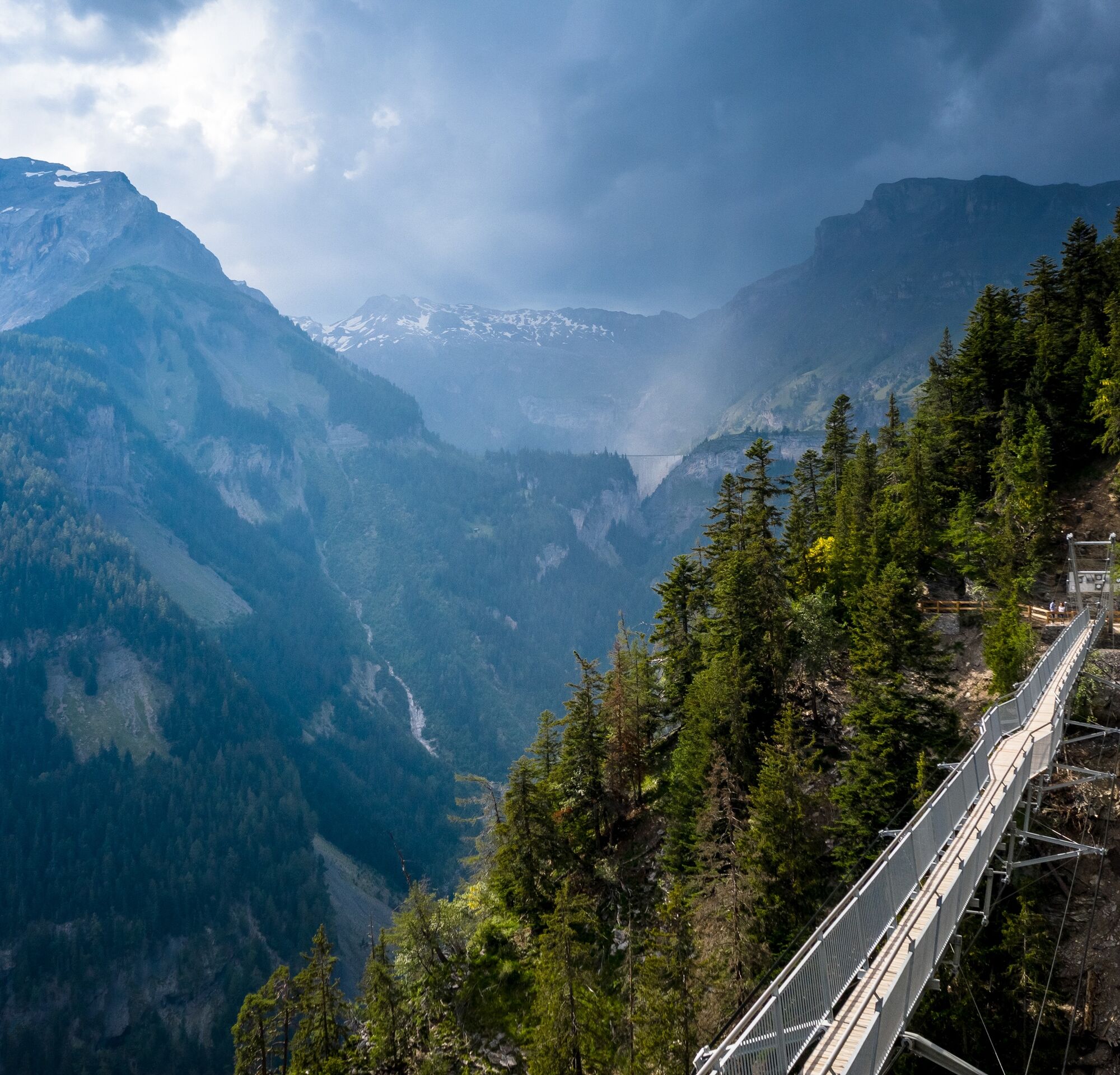
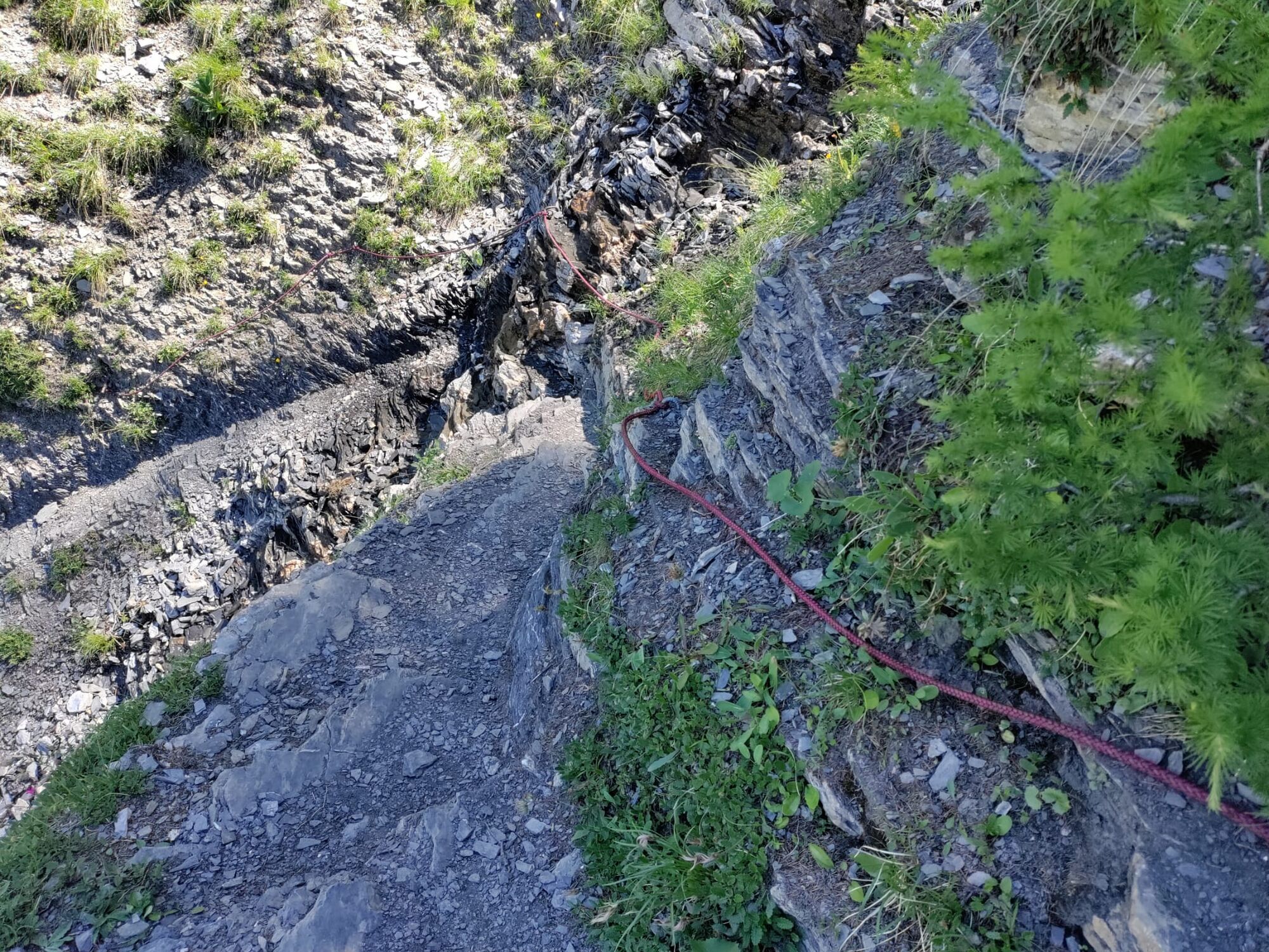
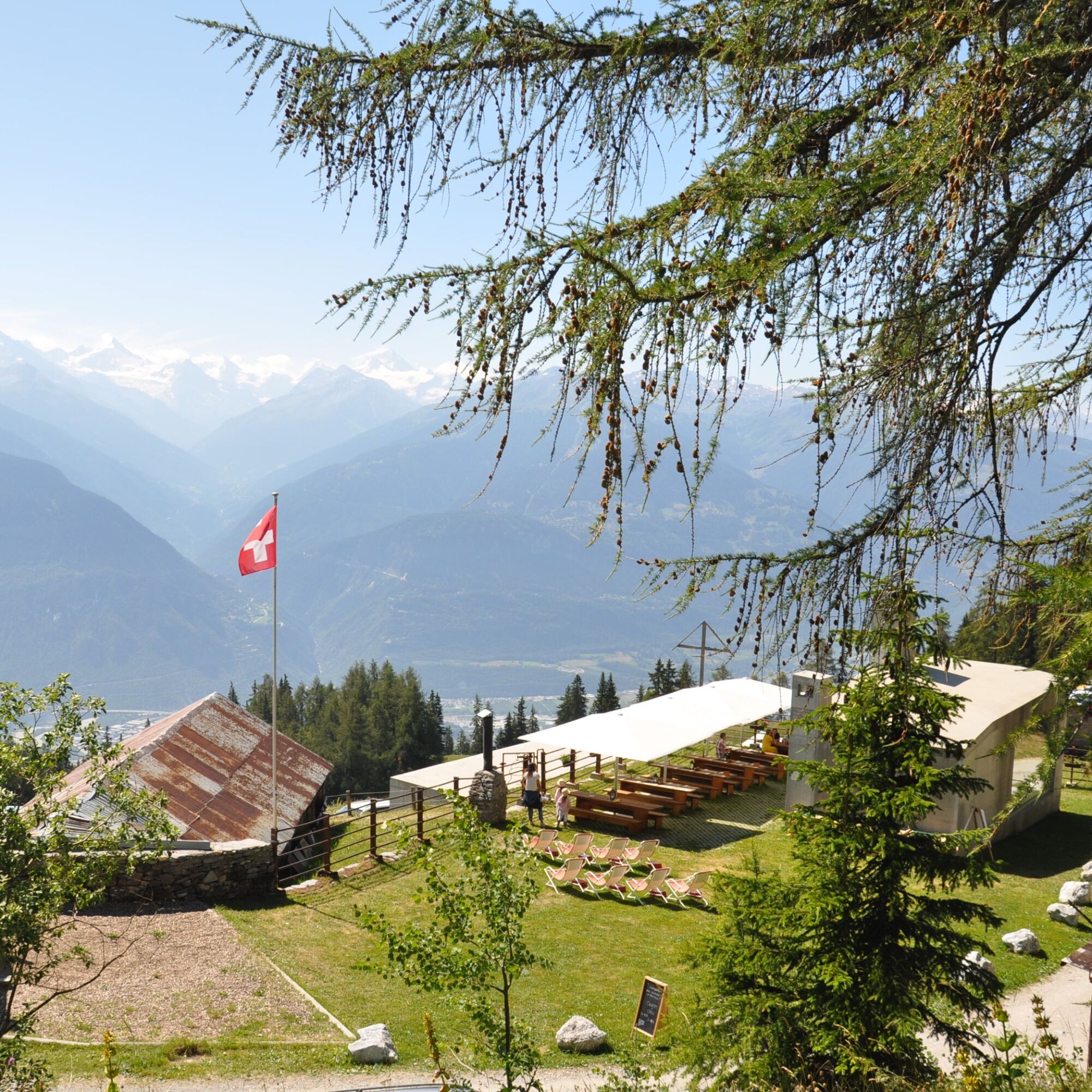
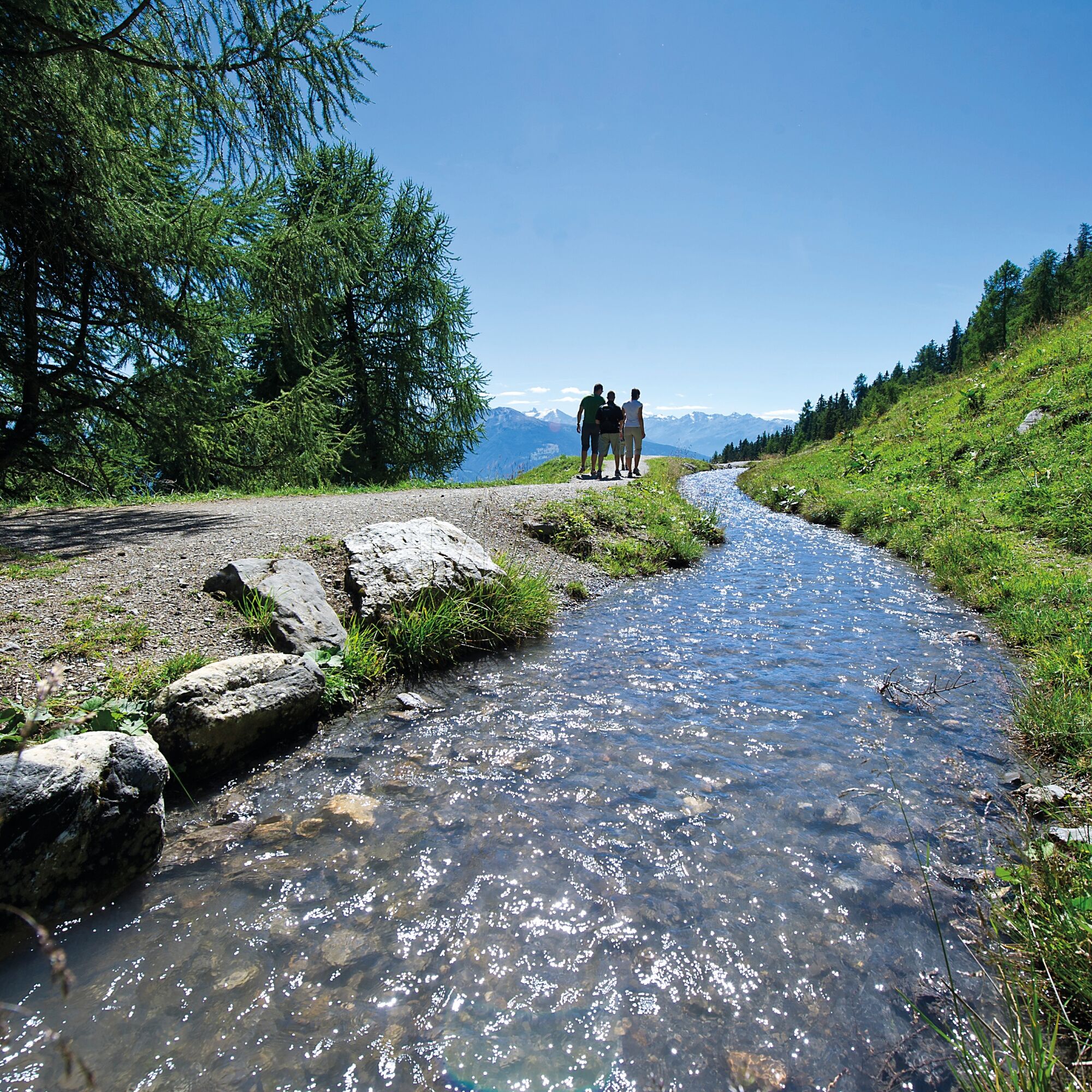

First day: Departure from Lac Grenon, Bisse du Ro, ascent on the Coillours to Cry d'Er, marmot trail, Cabane des Violettes (0041 27 481 39 19)
Second day: Violettes, Petit Mont Bonvin, Tièche, Bisse du Tsittoret, Vermala, Montana.
Da
Da
Good hiking shoes.
The weather changes quickly at altitude, plan to bring clothing accordingly.
Some passages like the Bisse du Ro or the Coillours passage are not recommended for people subject to vertigo.
Follow the marked trails. Please respect the fauna and flora: nature.
Check the weather conditions before your departure.
Crans-Montana Tourism & Congress declines all responsibility in case of an accident.
To reach Crans-Montana by car, take the A9 motorway (Rhône motorway) exit named "Sierre ouest". At the motorway exit, turn left and follow the signs indicating "Sierre". At the roundabout, turn right. Continue for 500 meters then at the entrance to Sierre, turn left towards "Crans-Montana." Follow the signs to reach the center of Crans-Montana and Lac Grenon. The travel time is about 20 minutes.
The Crans-Montana resort is accessible from Sierre train station with the SMC bus company or the funicular as well as from Sion train station with postal buses.
The free shuttles of the SMC bus company serve the entire Crans-Montana resort.
The closest stop to the hike departure is: "Lac Grenon".
Stephani Parking
Grand Garage Parking
The route starts at Lac Grenon on the Bisse du Ro path. It's better not to be afraid of heights to follow certain parts of the bisse. The circuit then joins Cry d'Er via the technical and vertiginous Coillours passage, then the hike continues to the Cabane des Violettes. The next day, departure for Petit Mont Bonvin towards Tièche, then return to Crans-Montana via the Bisse du Tsittoret.
To avoid the difficult parts of Coillours and Petit Mont Bonvin, it is possible to shorten the hike and reach Cry d'Er by cable car to then do the Panorama 4000 hike. This variant can be done in one day.
This hike is intended for experienced walkers with proper equipment. It is essential to have sure footing and to be in good physical shape. Some trails are steep but well passable.
Priljubljeni izleti v okolici
- 5.0
Bisse du Ro
svetlobaPohodništvo 11.2 km - 4.7
Leukerbad - Gemmipass - Lämmerenhütte
srednjaPohodništvo 9.49 km - 4.2
Grand Bisse de Lens
svetlobaPohodništvo 8.73 km - 4.6
Lauenen - Höji - Bühlhaus Lauenensee
srednjaPohodništvo 9.03 km - 4.0
Gemmipass - Lämmerenhütte - Rote Totz Lücke - Daubensee - Gemmipass
srednjaPohodništvo 13.7 km - 5.0
Torrenthorn- Rigi der Walliser Alpen
Pohodništvo 2.99 km Zu den Engstligenfällen
srednjaPohodništvo 8.06 km- 4.8
Leukerbad - Gemmipass
težkoPohodništvo 4.73 km - 5.0
Klettersteig Daubenhorn
težkoVia ferrata 5.34 km Gratweg
Via ferrata 5.16 km
Pohodništvo in sledenje


Ne zamudite ponudb in navdiha za naslednje počitnice
Vaš e-poštni naslov je bil dodan na poštni seznam.





