







Wildstrubel Circuit

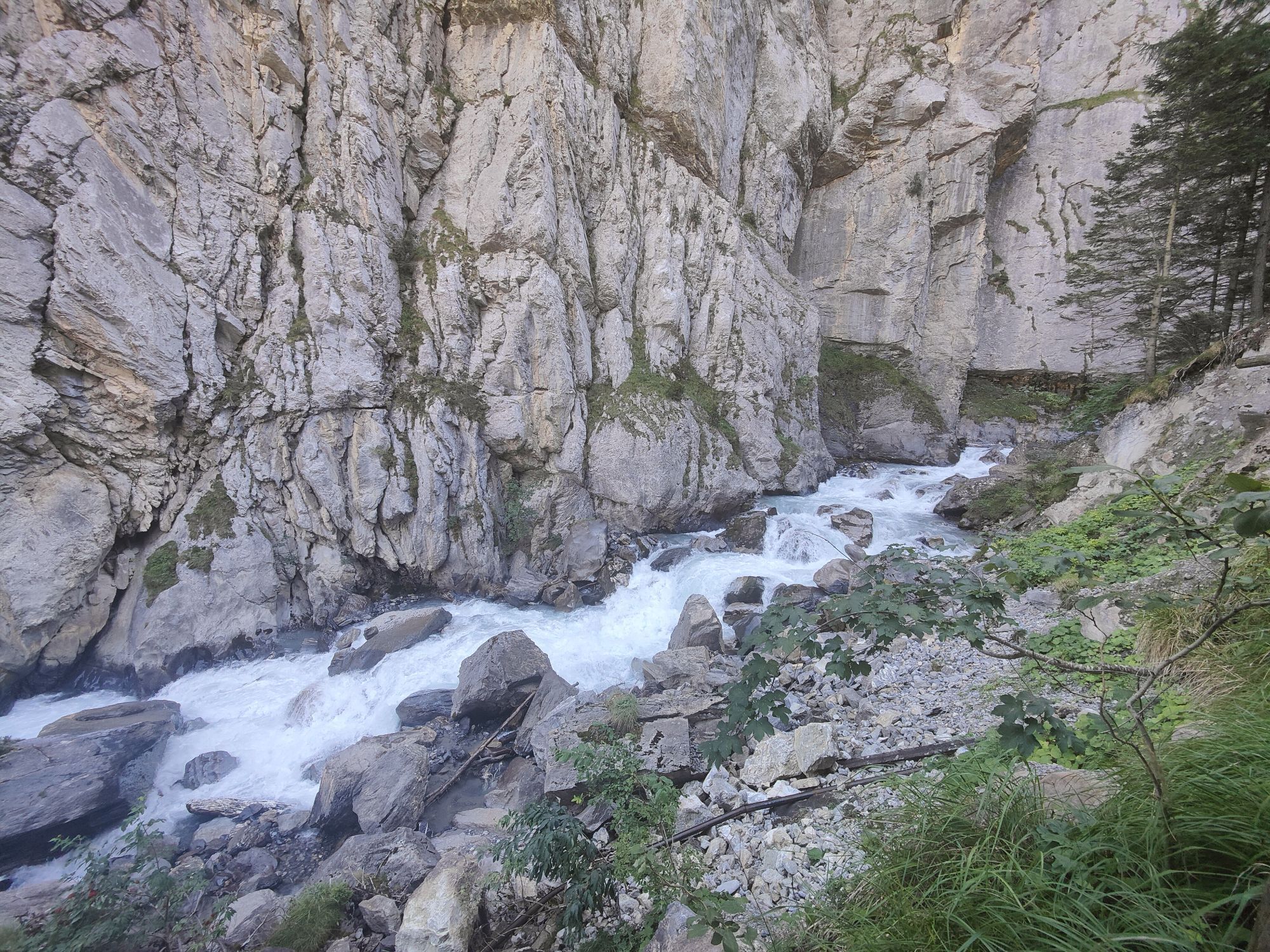
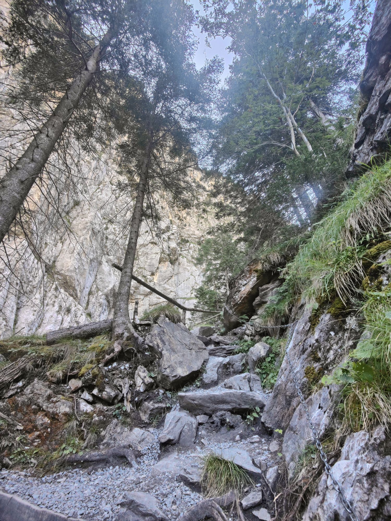
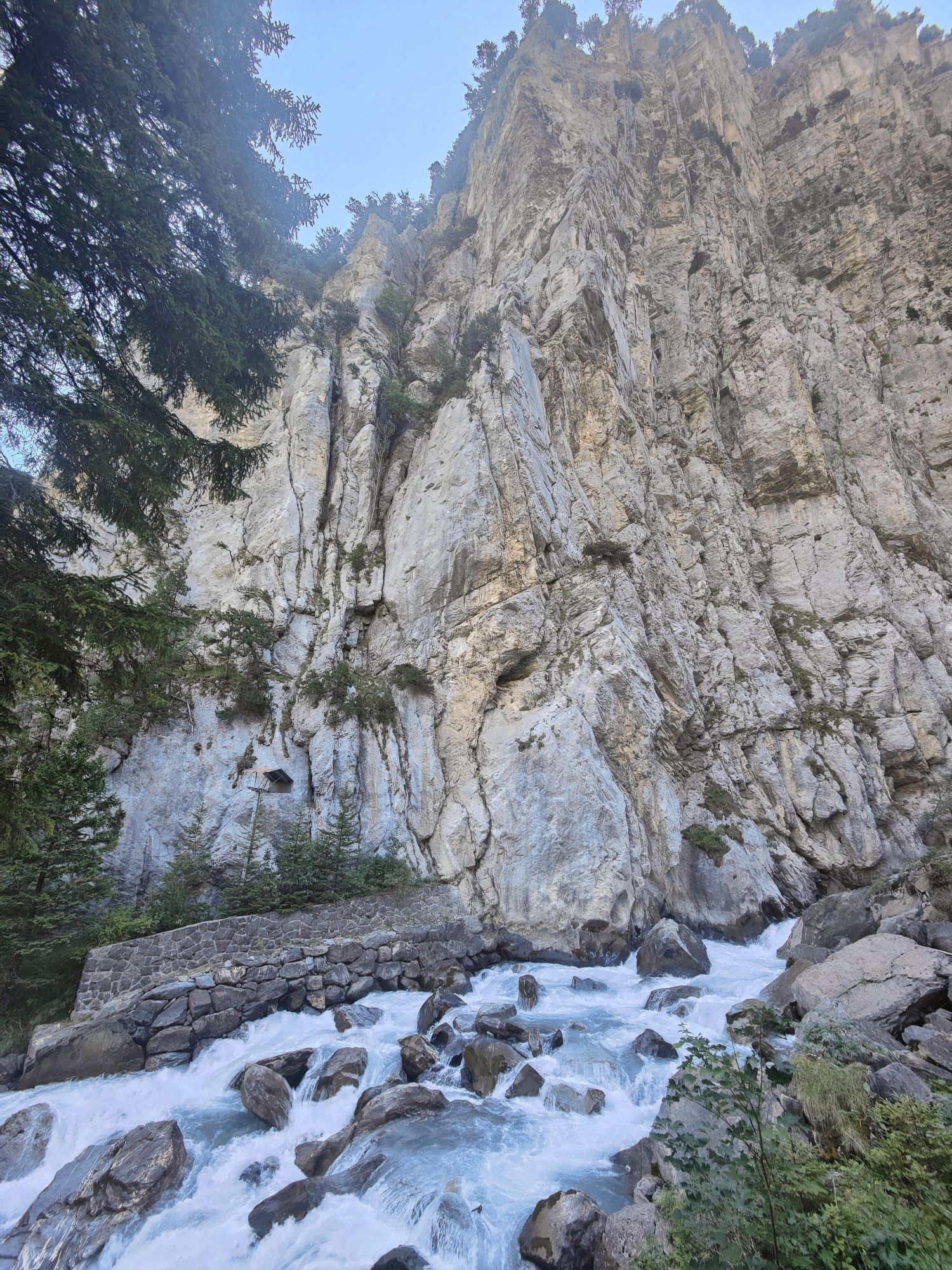
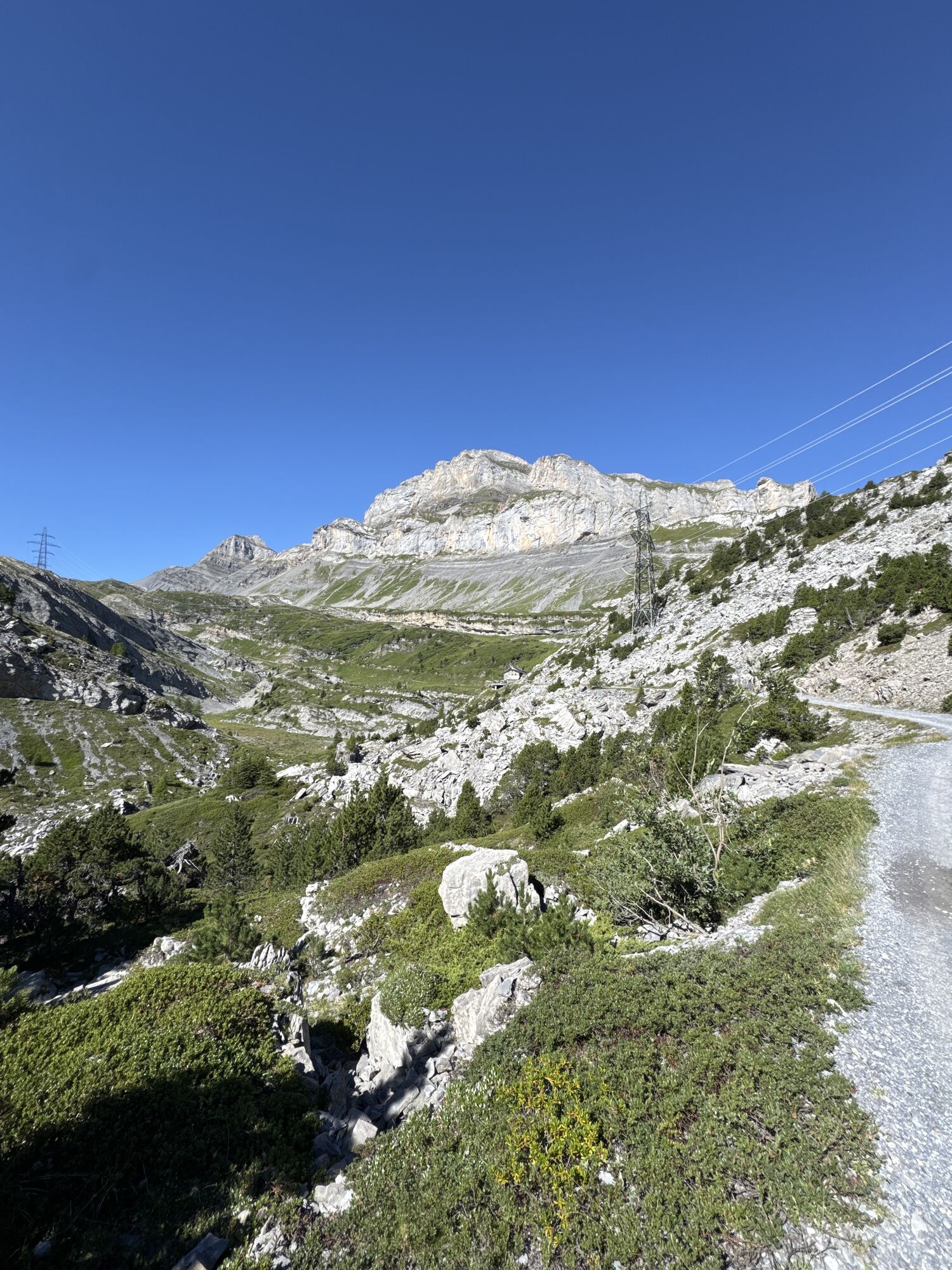
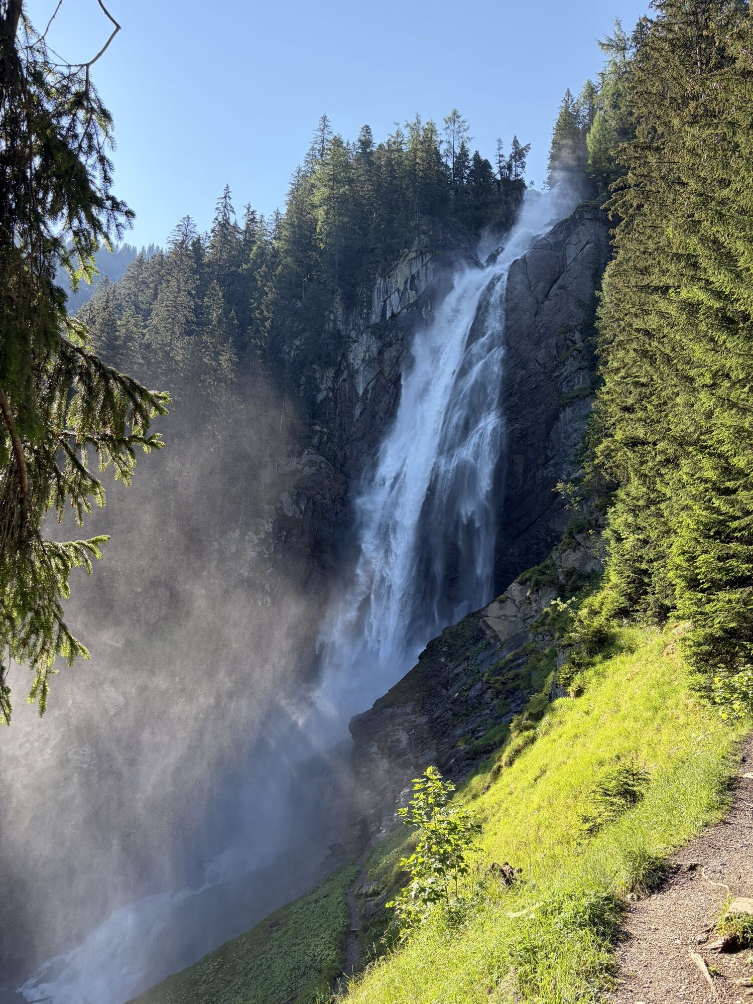
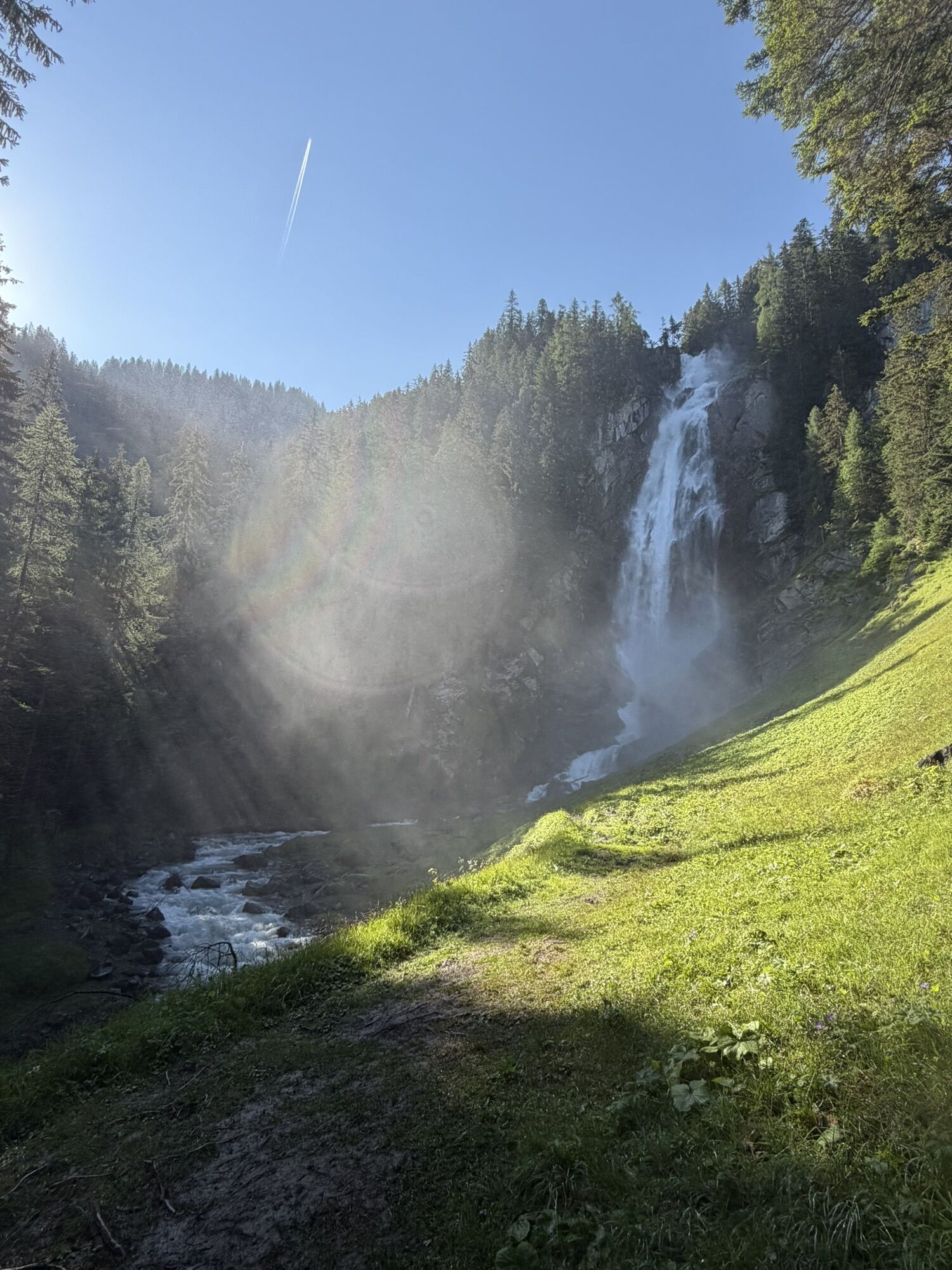
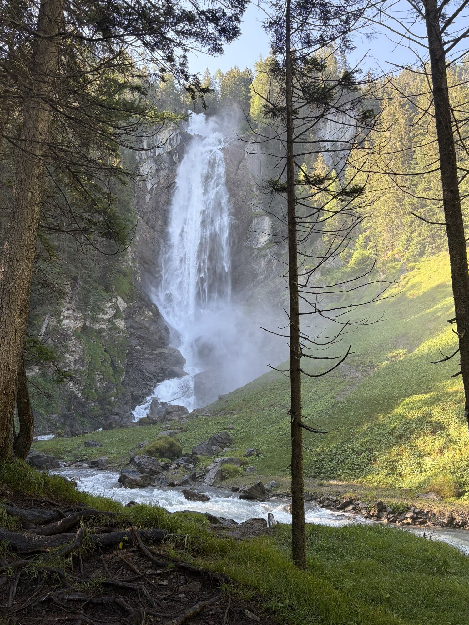
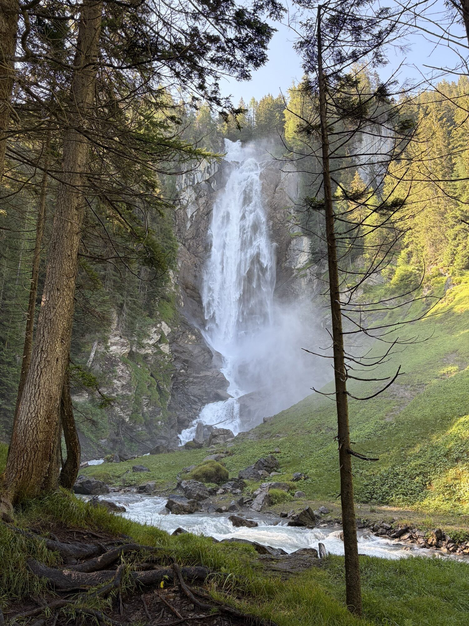
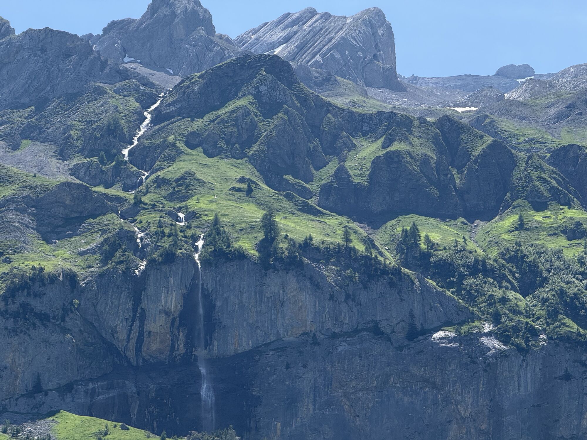
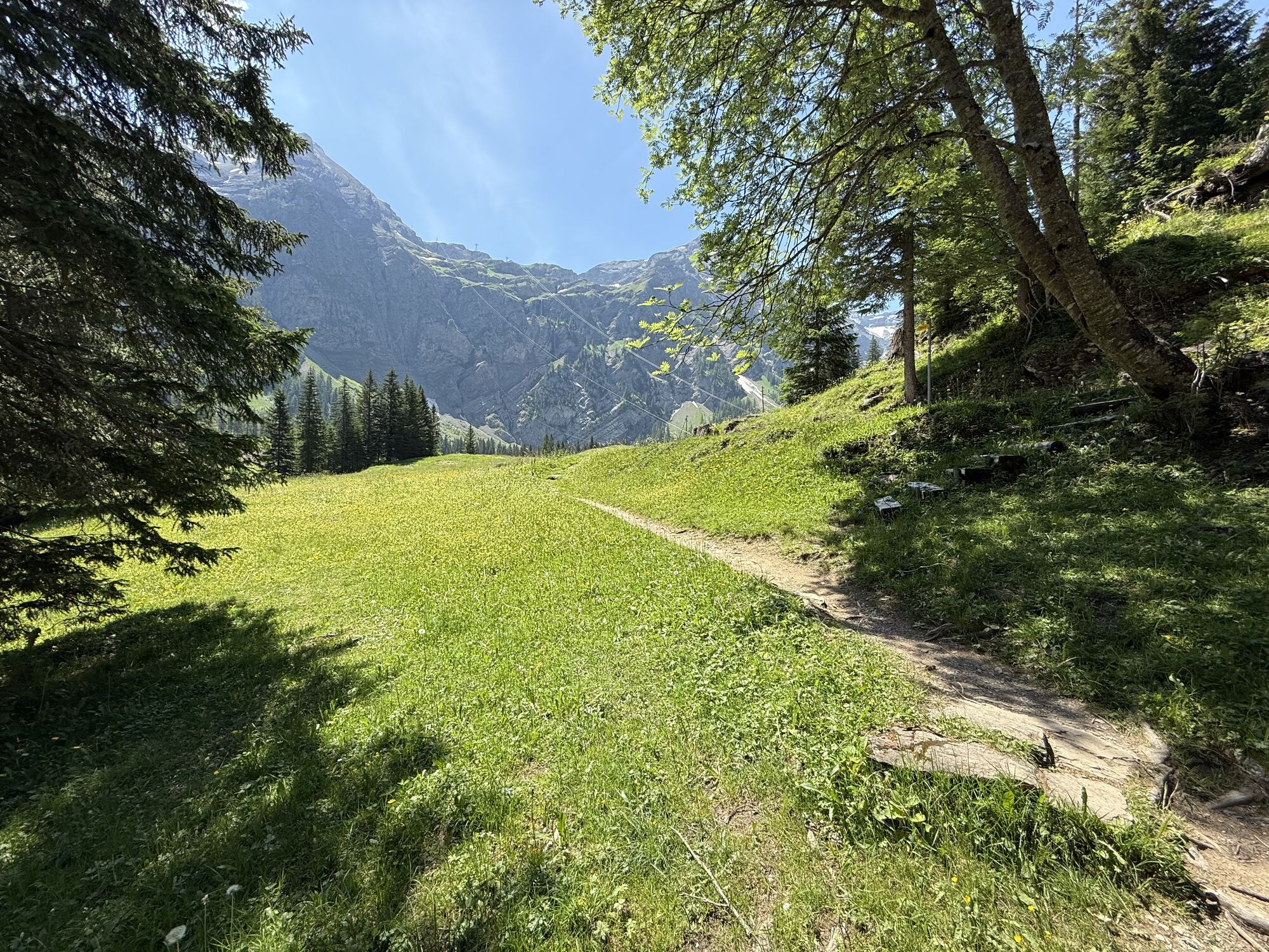
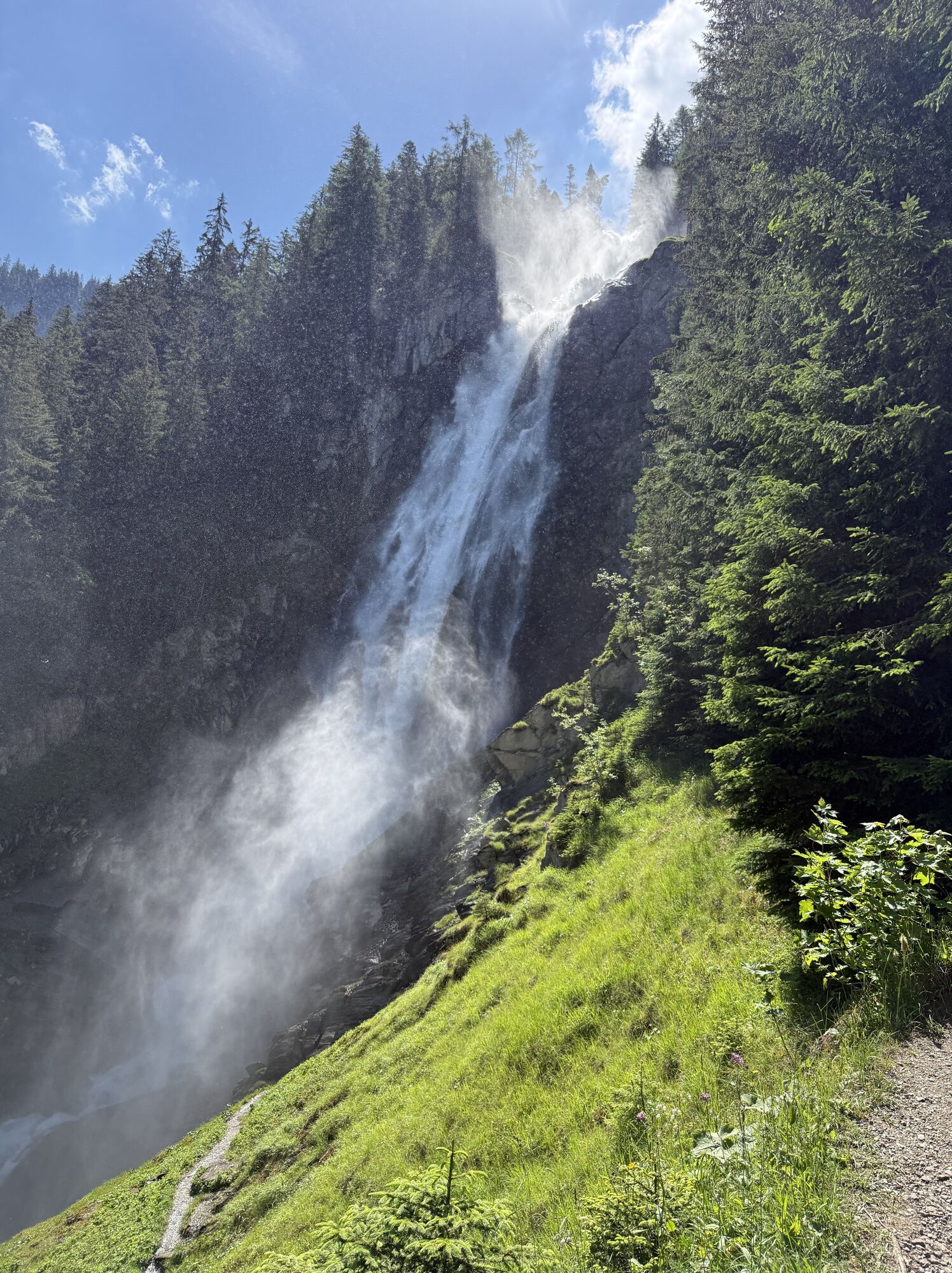
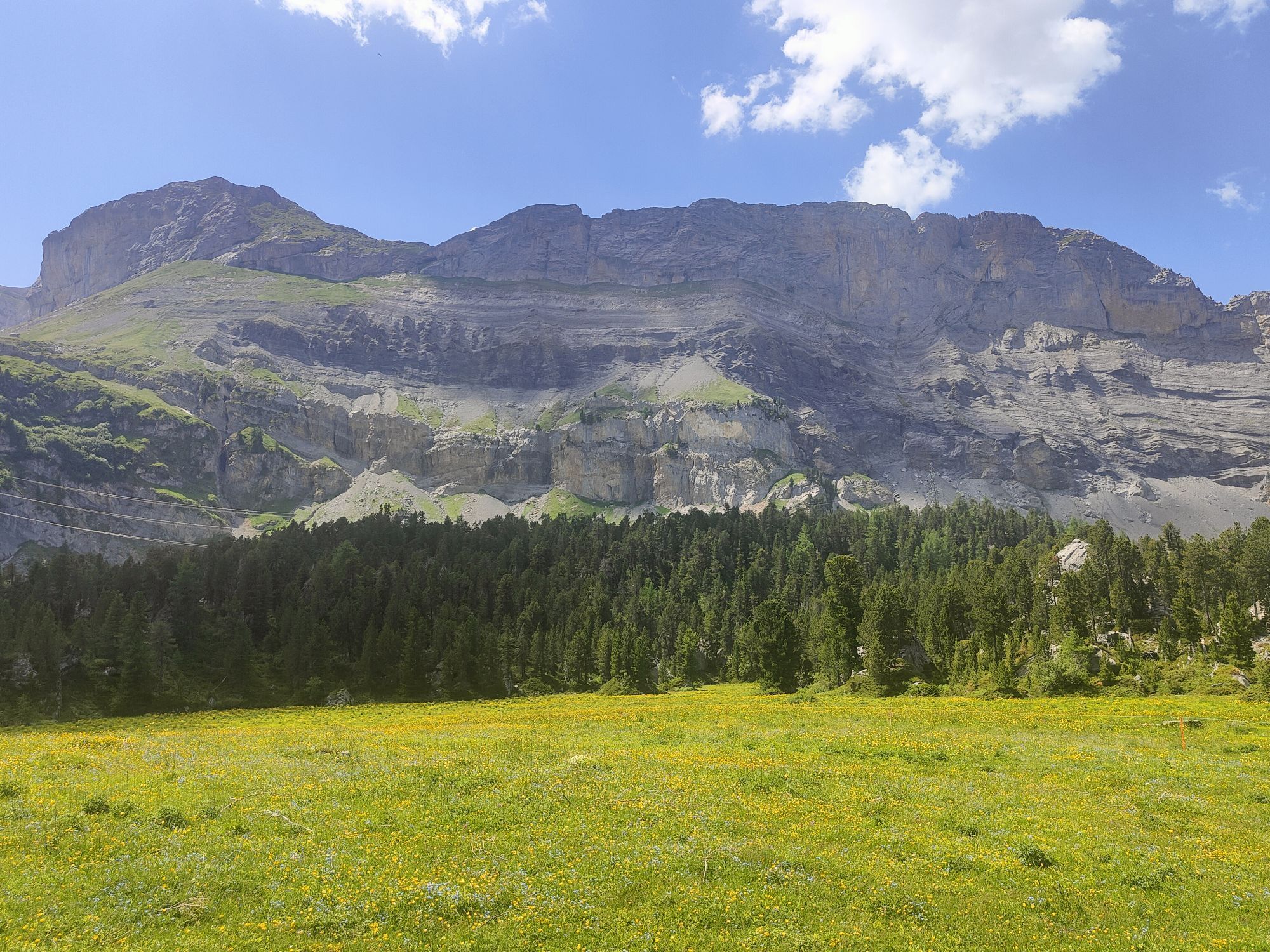
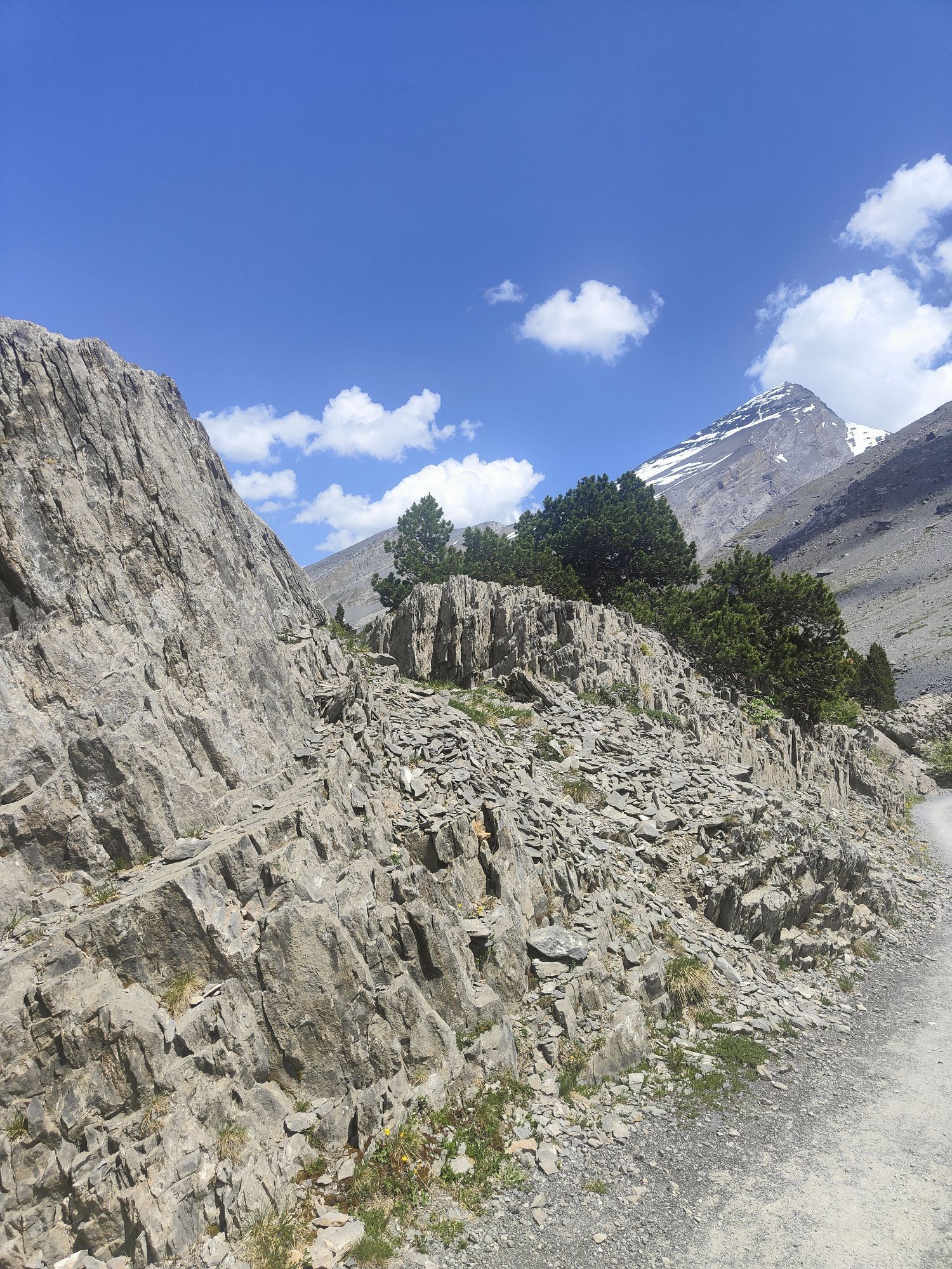
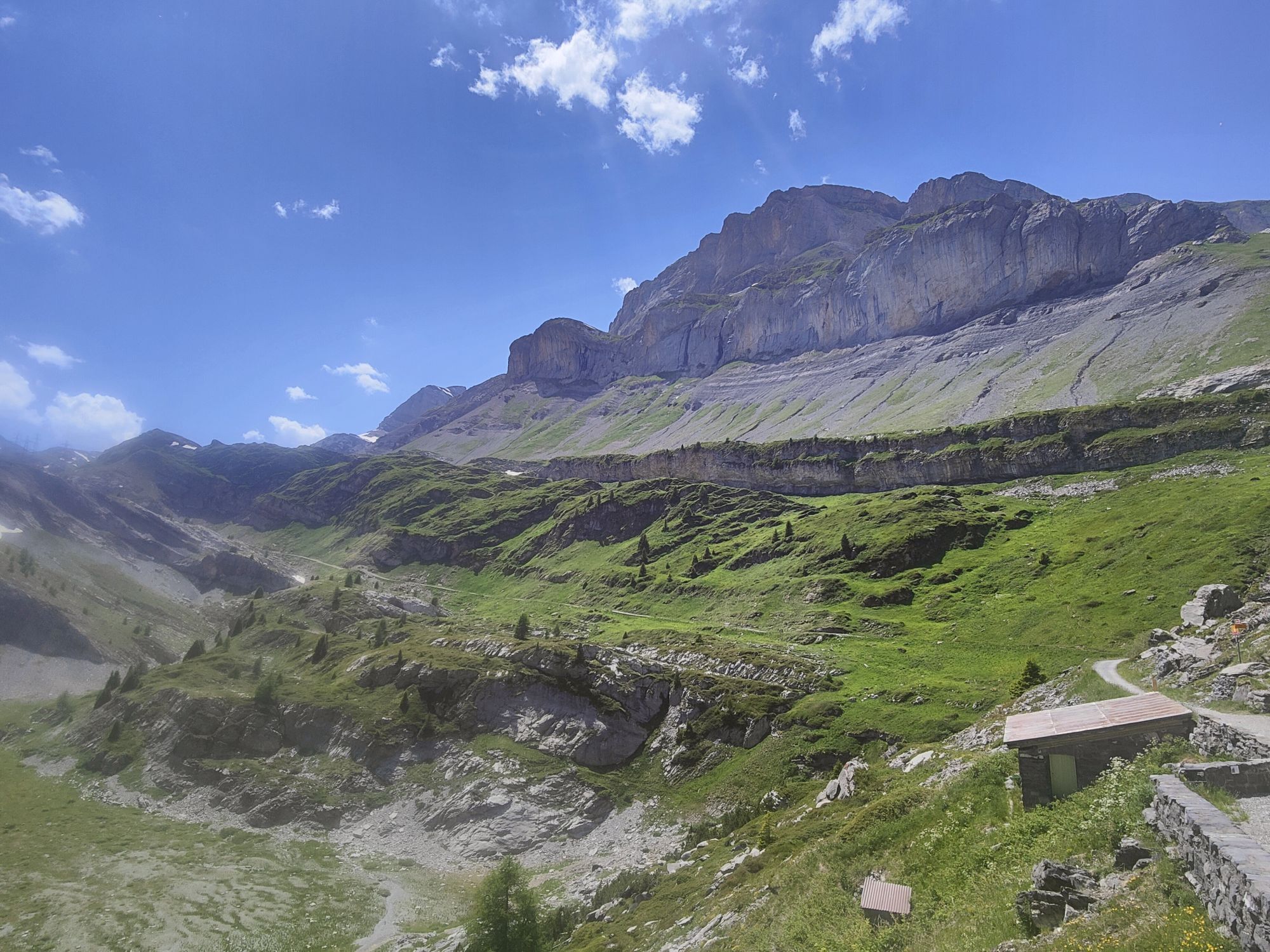
Day 1: Arrival at Crans-Montana
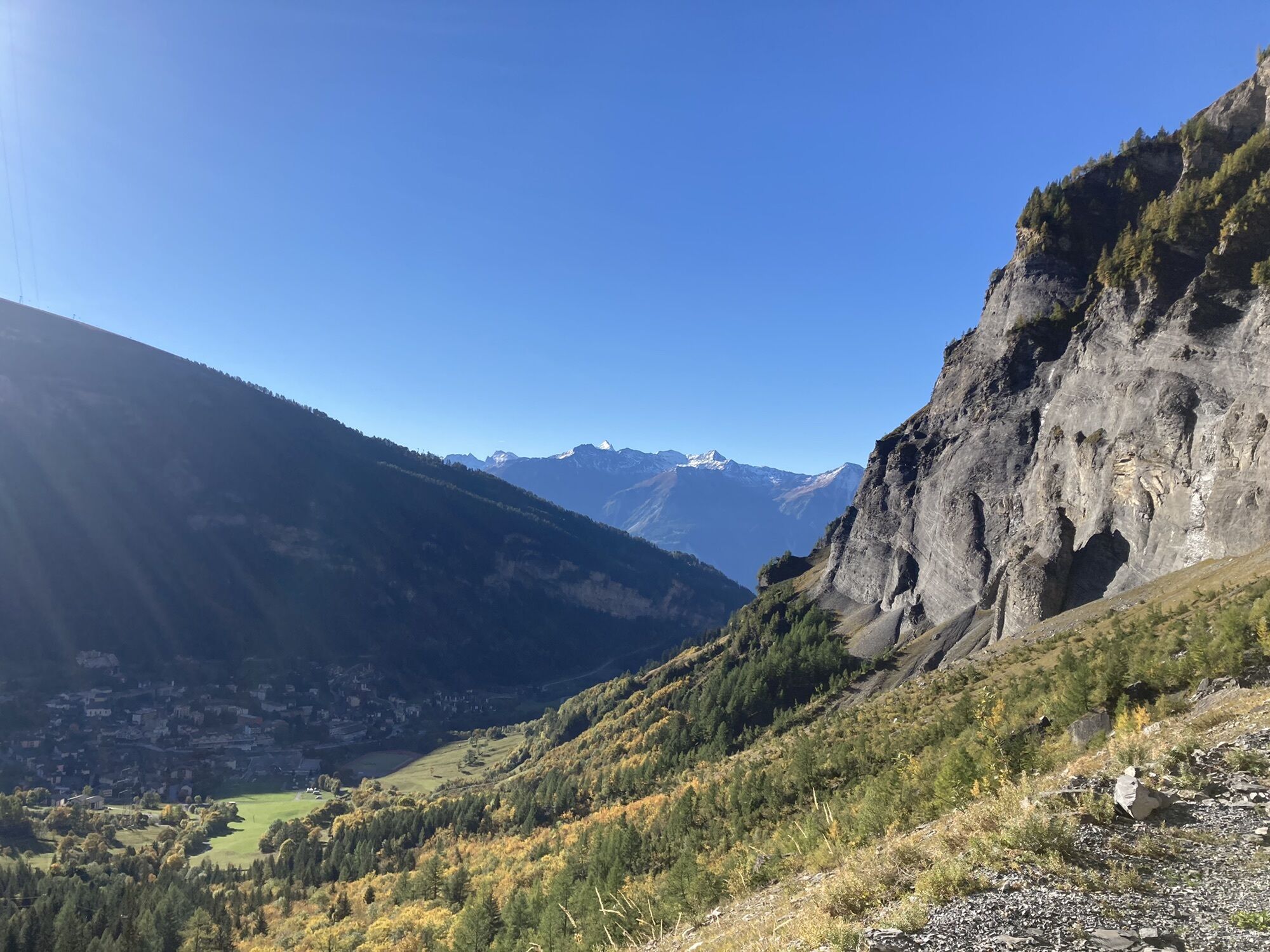
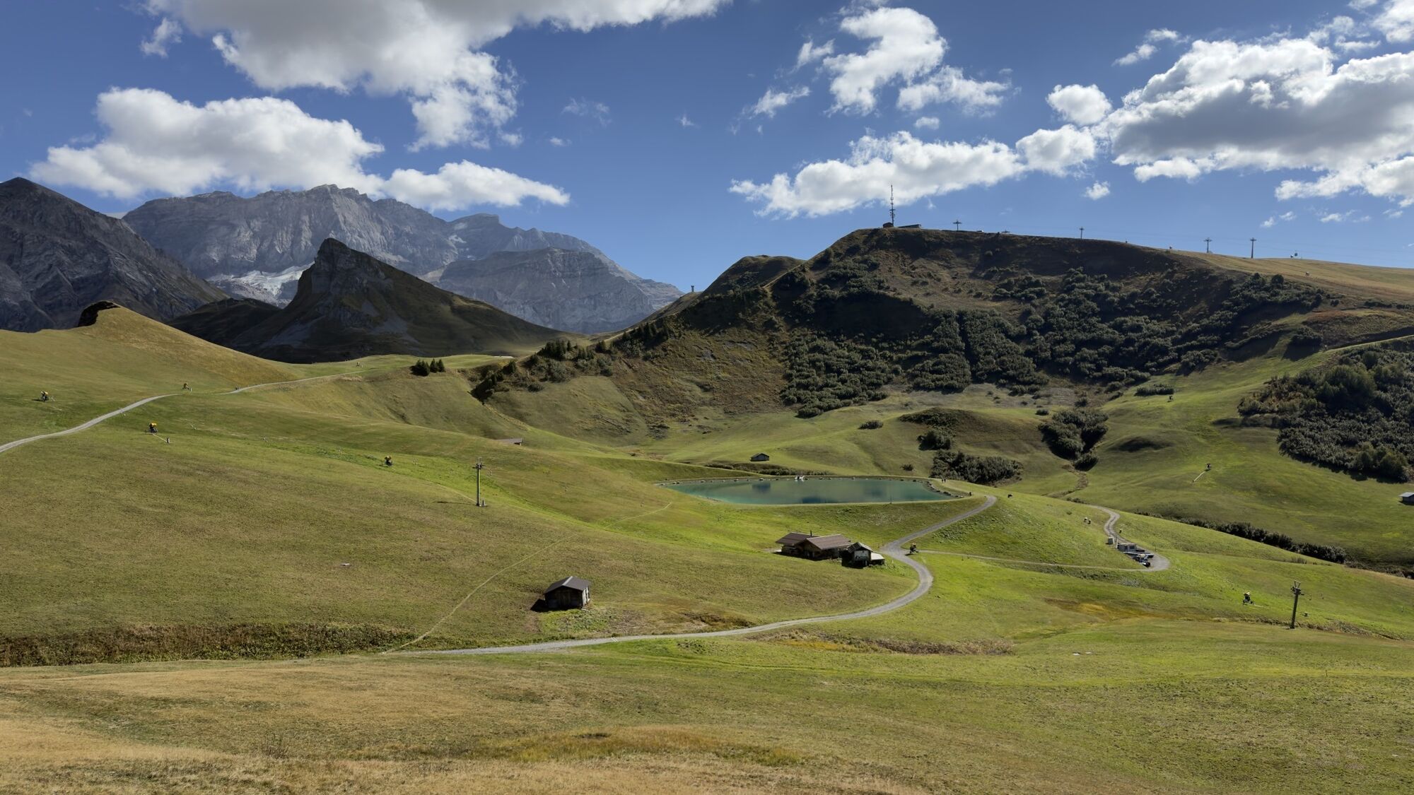
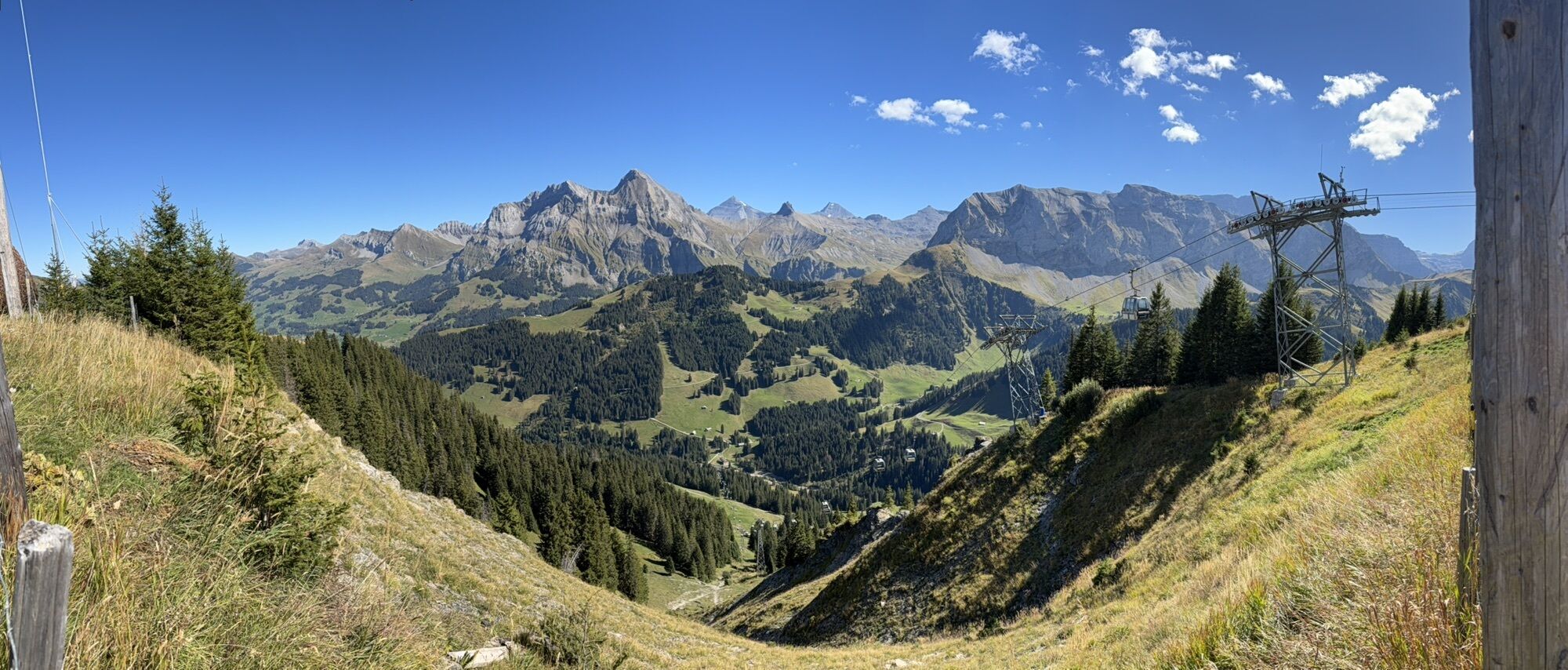
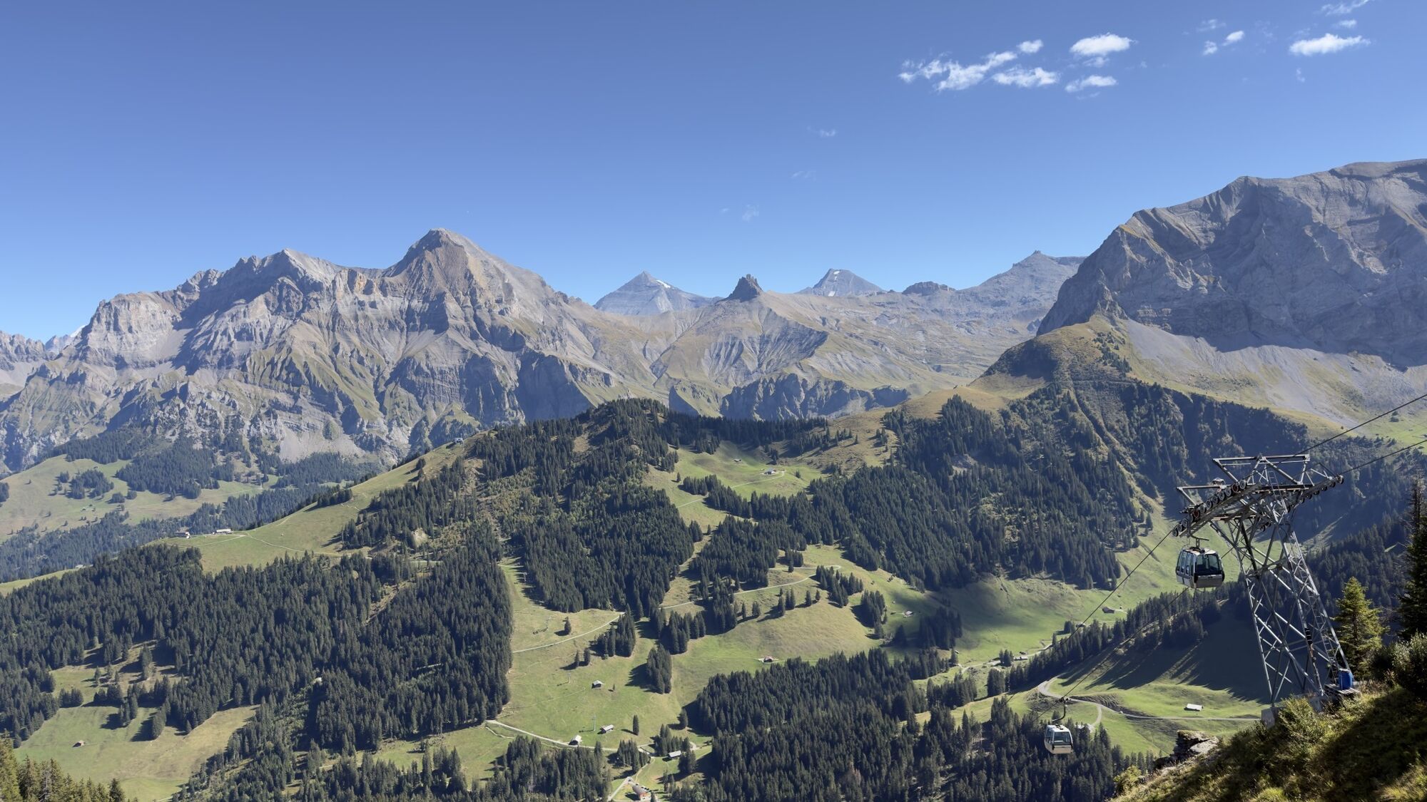
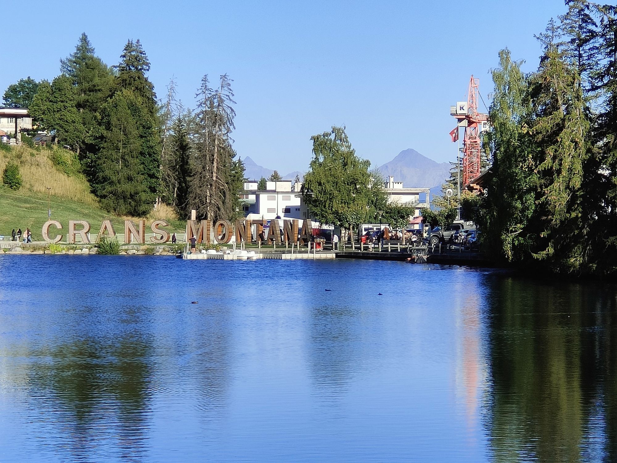
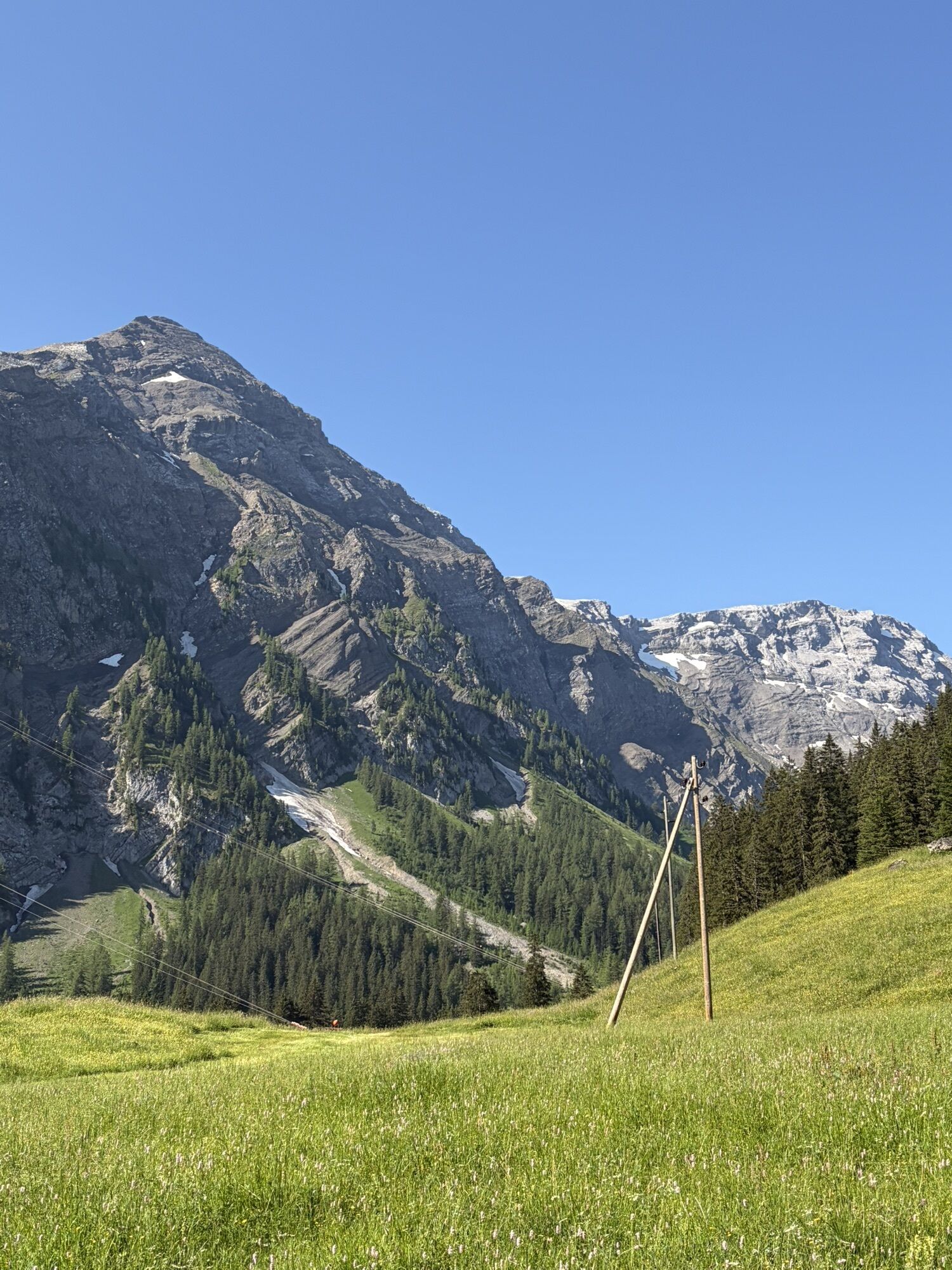
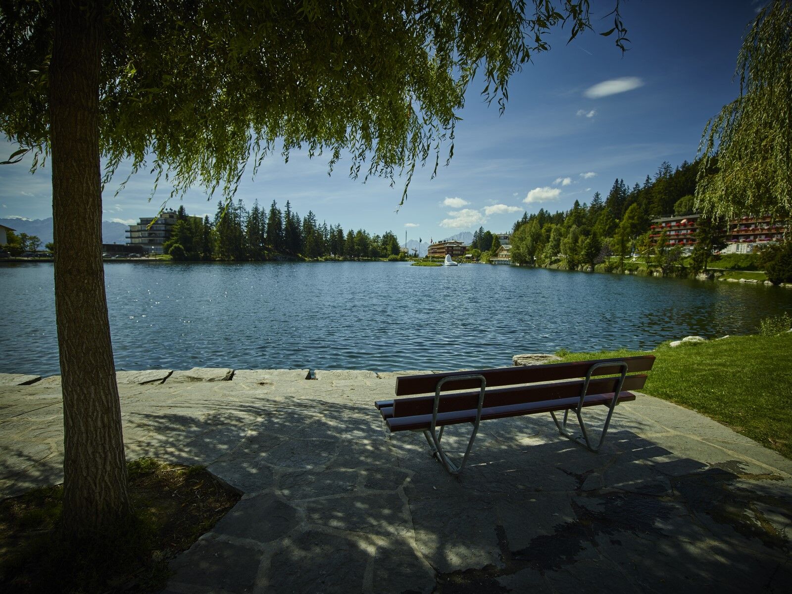
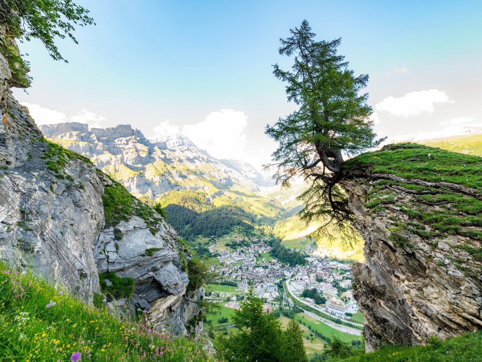
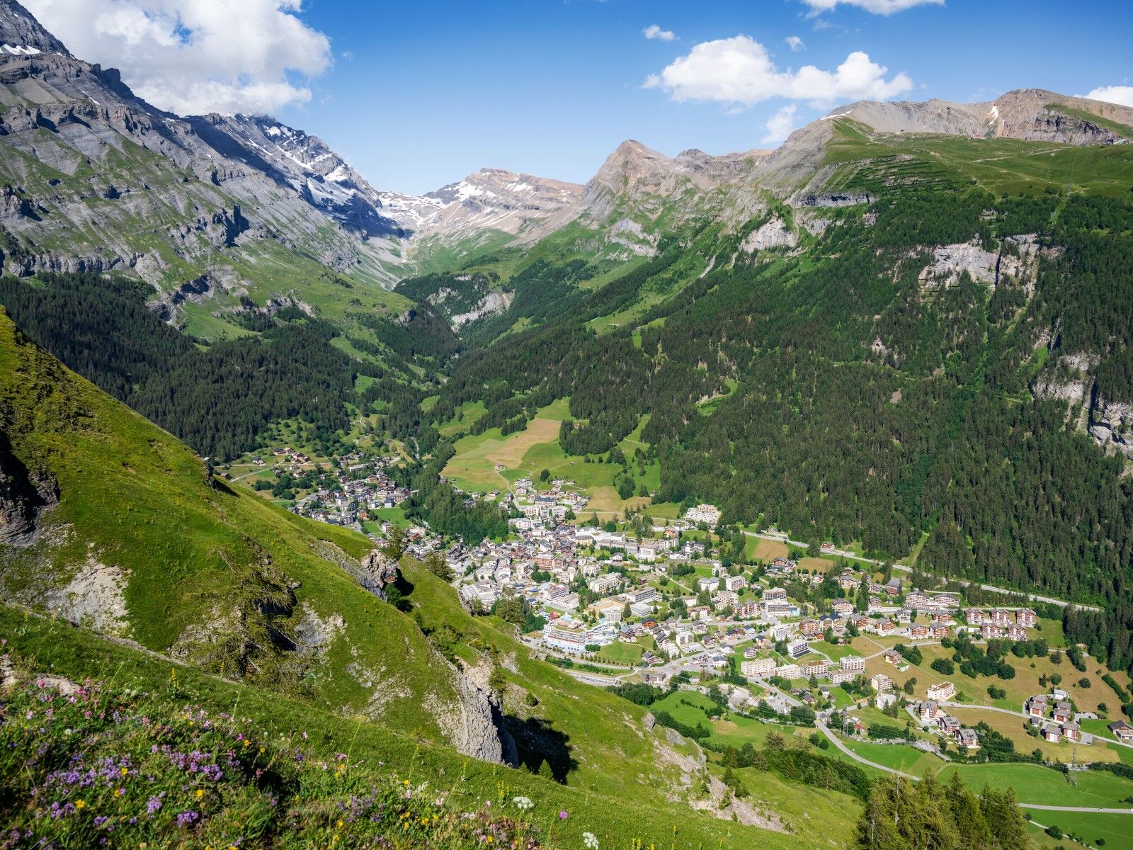
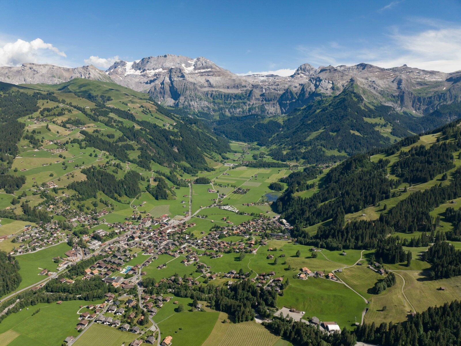
The sunny plateau overlooking the Rhône valley is the starting point of the Wildstrubel circuit. The alpine panorama sets the tone for the days to come.
Day 2: Crans-Montana...
Day 1: Arrival at Crans-Montana
The sunny plateau overlooking the Rhône valley is the starting point of the Wildstrubel circuit. The alpine panorama sets the tone for the days to come.
Day 2: Crans-Montana - Loèche-les-Bains
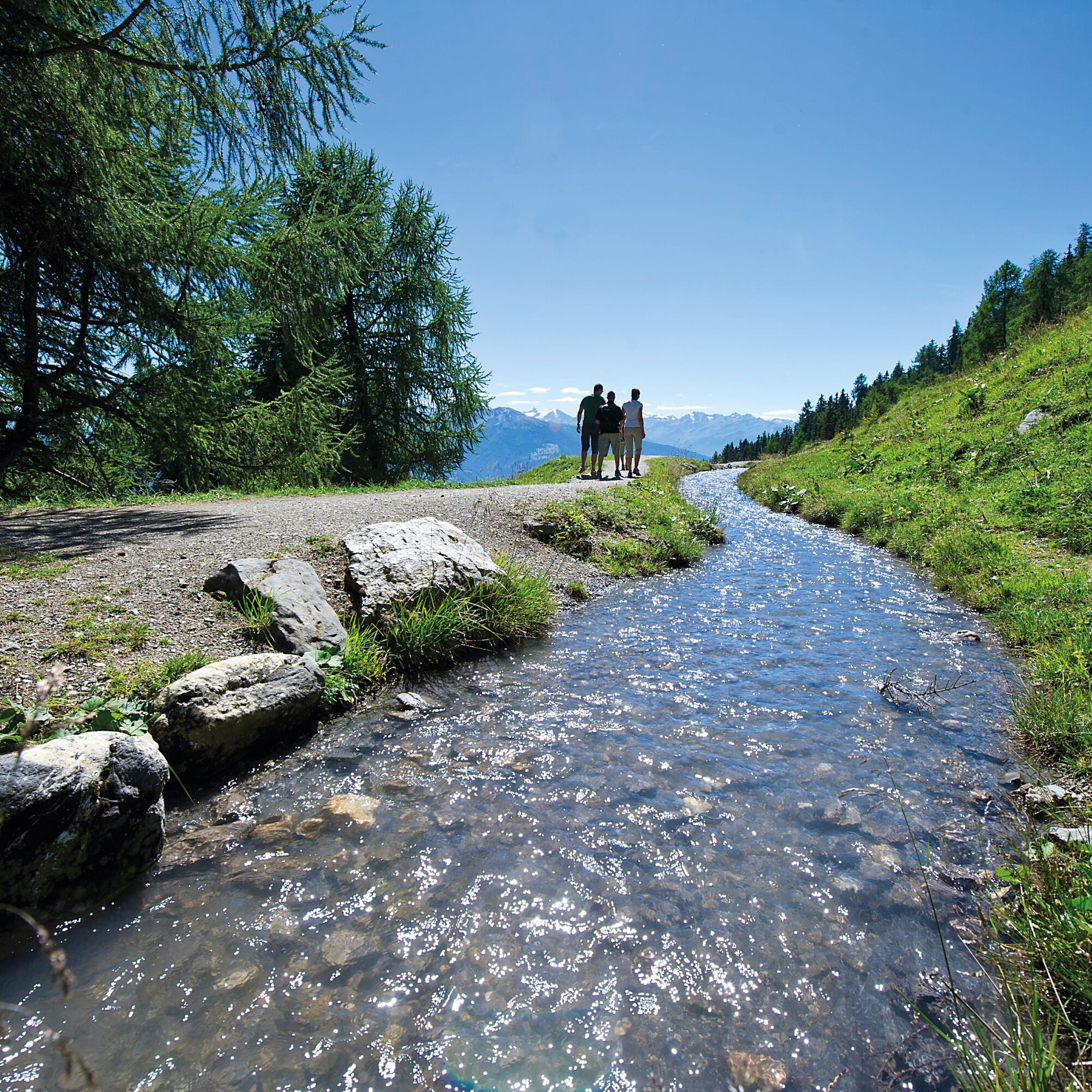
This is an ascent to the Tsittoret bisse followed by a dream hike to Loèche-les-Bains. Beautiful views of the snow-capped 4,000-meter peaks of Valais make the long stage to Loèche-les-Bains easier.
Alternative: take the bus to the Colombire Hamlet to start the hike.
Duration: approx. 7.5 hours
Distance: approx. 23 km
Positive elevation gain: 1,085 m
Negative elevation gain: 1,210 m
Day 3: Loèche-les-Bains - Kandersteg
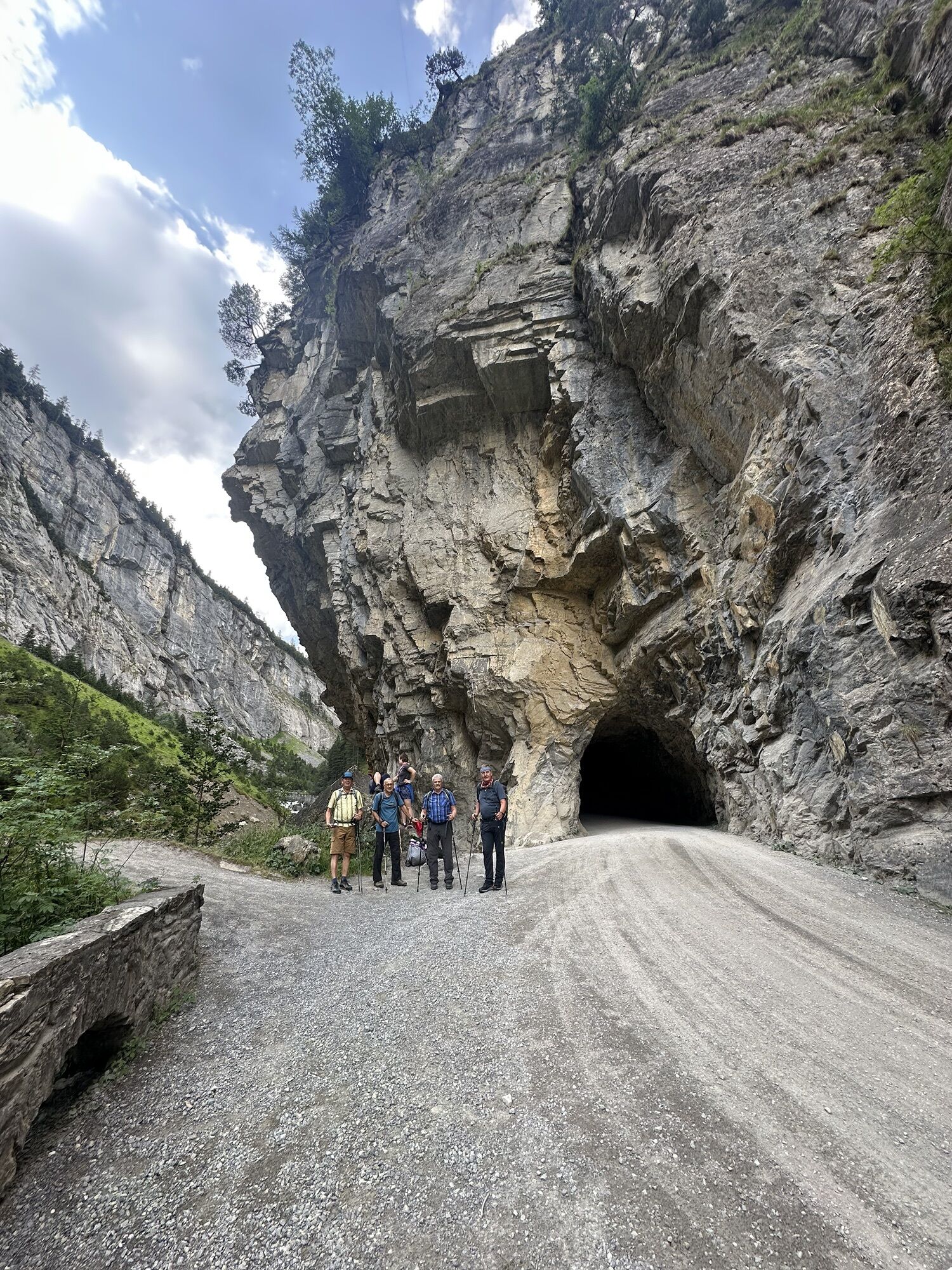
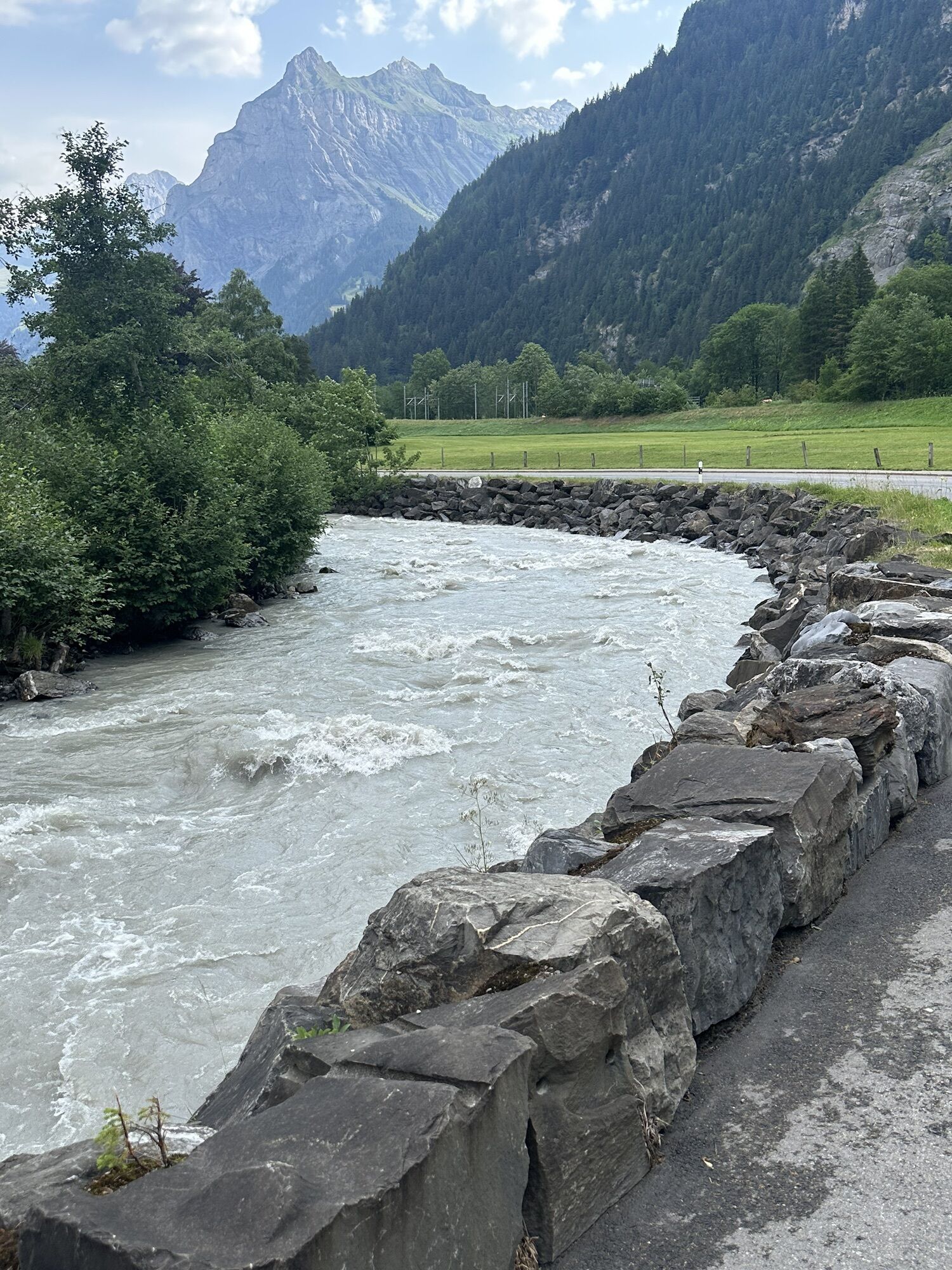
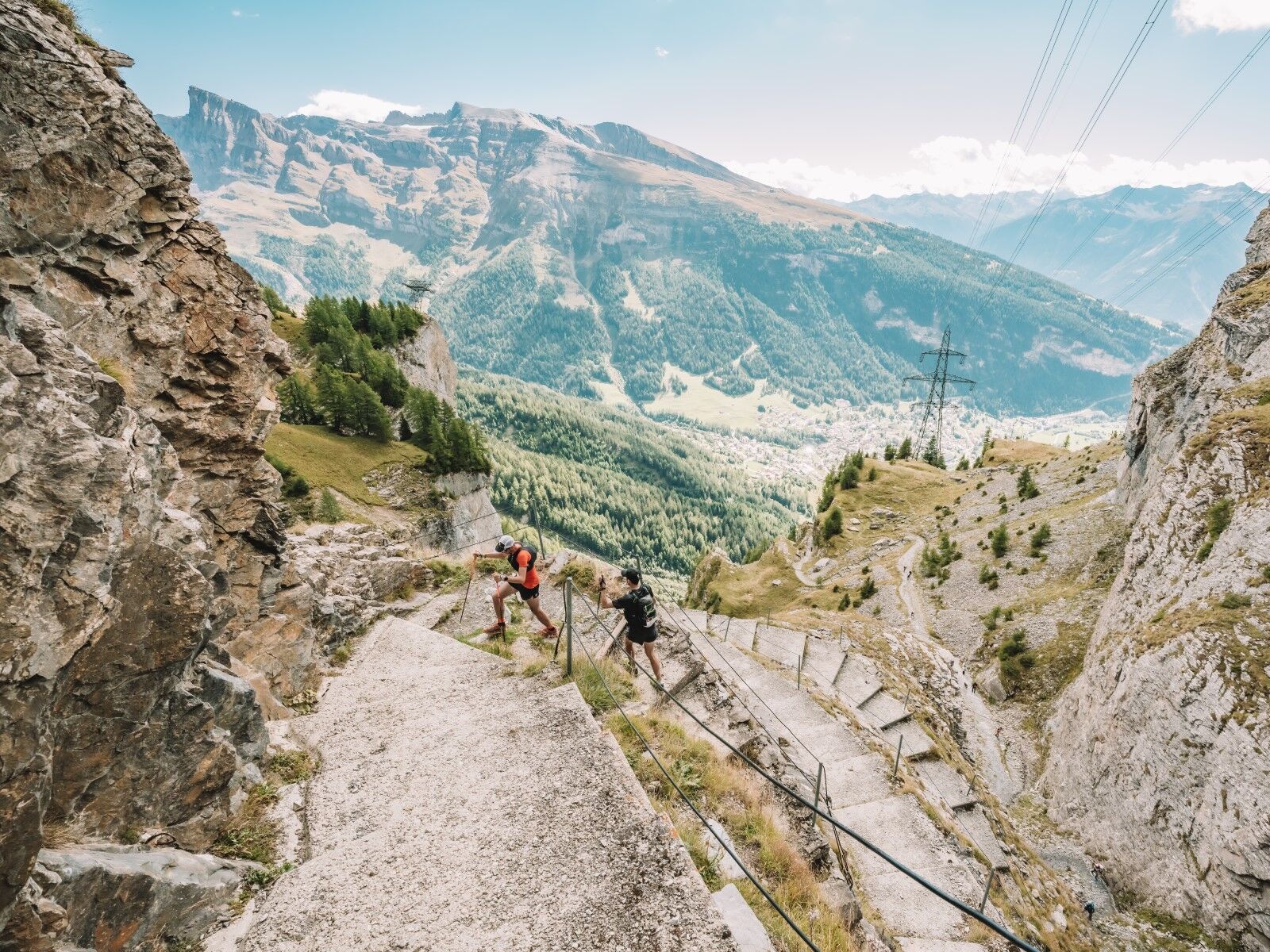
For a long time, the rock face overlooking Loèche-les-Bains was considered impassable until a path was dynamited in 1739 to reach the Gemmi Pass. This route became one of the most important mule tracks in the Alps. Even today, the Gemmi ascent is an absolute must. At the arrival, a dream panorama and a long descent into the Bernese Oberland await you.
Alternative: it is possible to go up to Gemmi by cable car.
Alternative 2: take the Sunnbüel-Kandersteg cable car to go down.
Duration: approx. 7 hours
Distance: approx. 21 km
Positive elevation gain: 1,410 m
Negative elevation gain: 1,235 m
Day 4: Kandersteg - Adelboden
The ascent to the Bunderchrinde Pass is not restful. Equally very demanding is the descent to Adelboden.
Alternative: take the Kandersteg-Allmenalp cable car up, then join the route via Ober-Allme.
Duration: approx. 6.5 – 7 hours
Distance: approx. 17 km
Positive elevation gain: 1,075 m
Negative elevation gain: 1,280 m
Day 5: Adelboden - Lenk
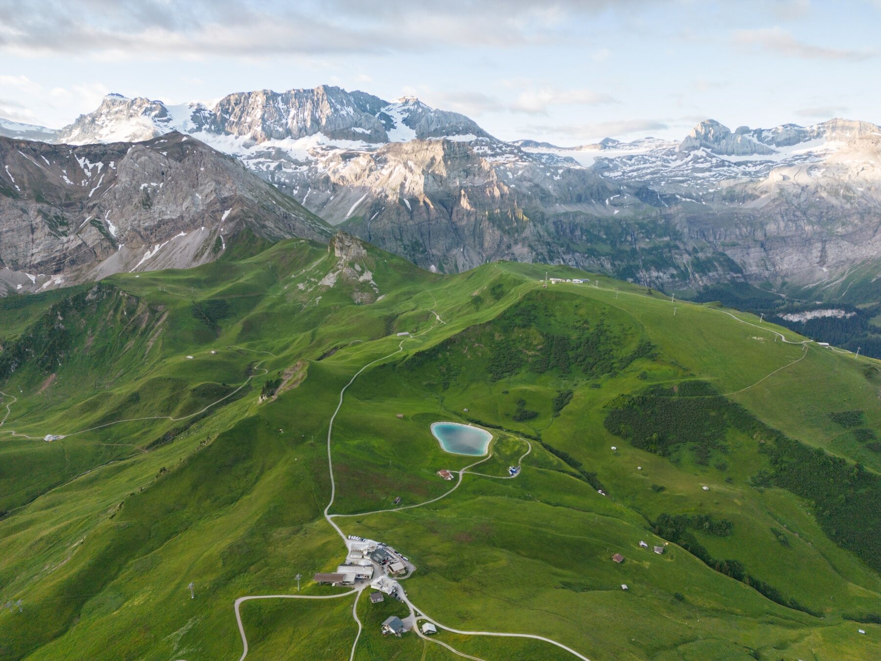
The hike starts from the village of Adelboden and leads to Chuenisbärgli. From there, ascend to Sillerenbühl via Bergläger using the Vogellisi discovery trail with various play stations. The Flower Trail continues on the slopes of Lavey with a view of the Wildstrubel massif up to the Hahnenmoos Pass. Taking the steep hiking trail, you reach Bühlberg and finally the village of Lenk.
Alternative: from Adelboden, take the cable car to Sillerenbühl or take the bus to Geils, then the cable car to the Hahnenmoos Pass.
Duration: approx. 6 – 6.5 hours
Distance: approx. 18 km
Positive elevation gain: 1,080 m
Negative elevation gain: 1,360 m
Day 6: Lenk - Crans-Montana
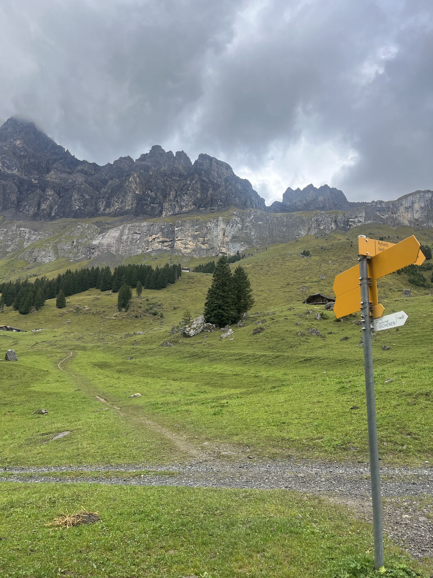
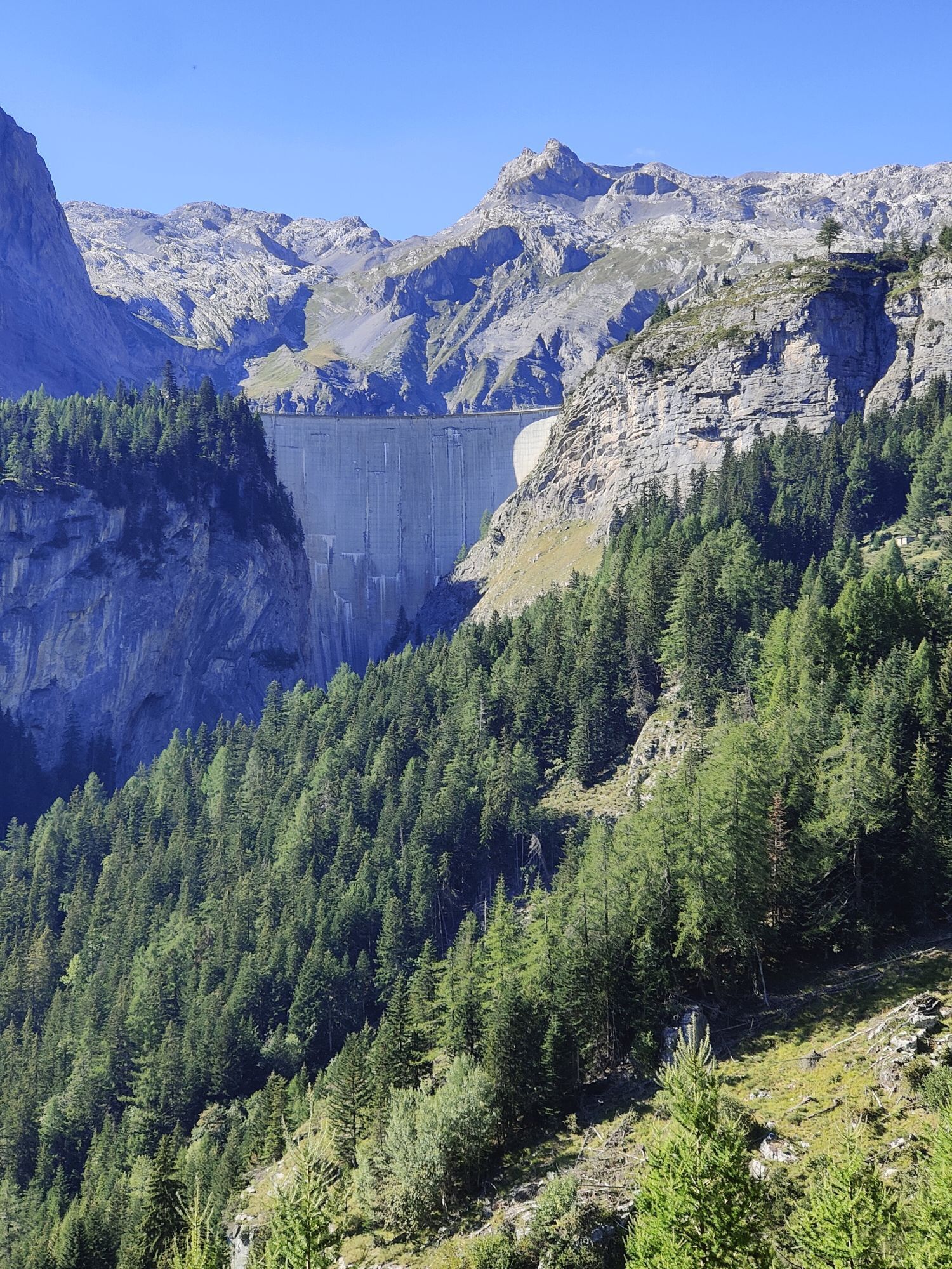
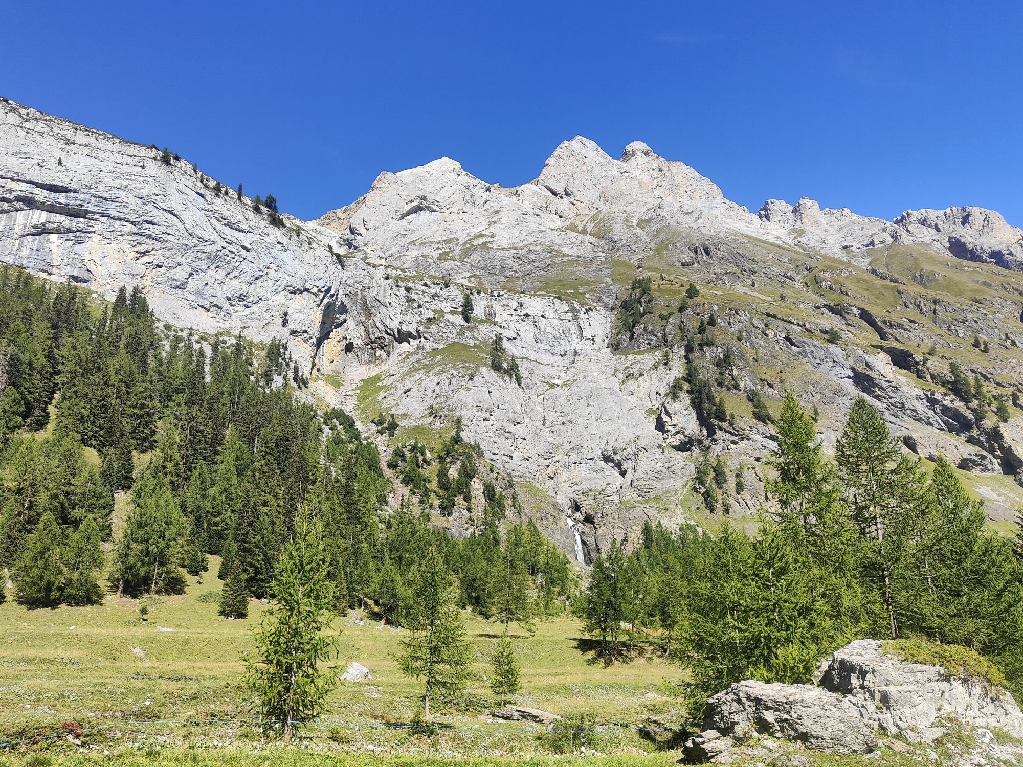
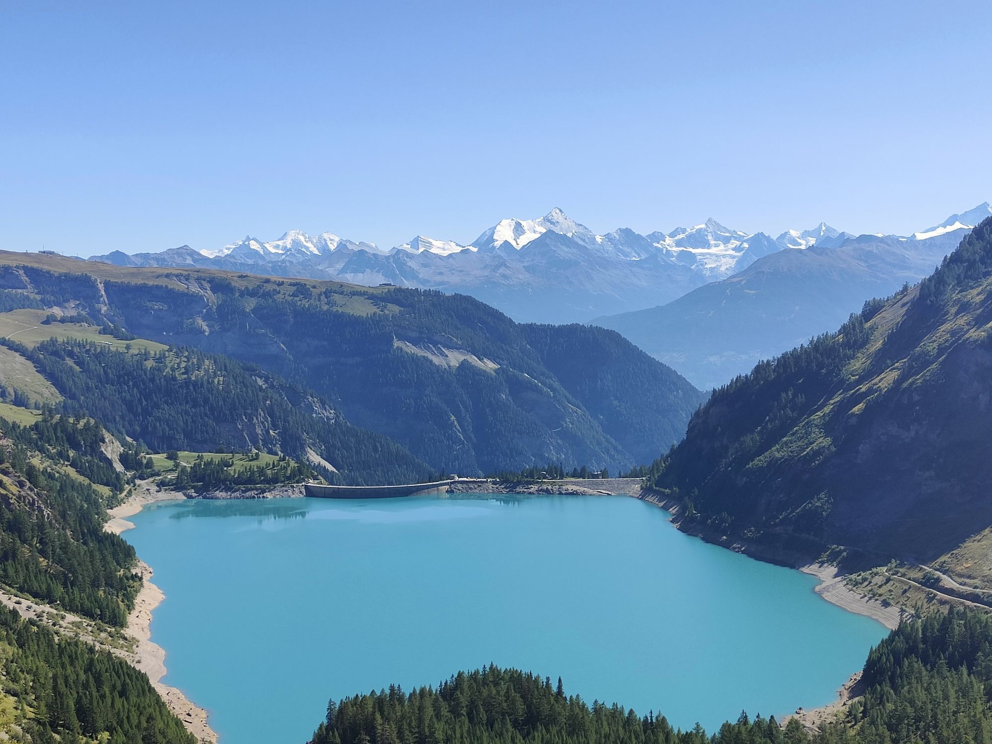
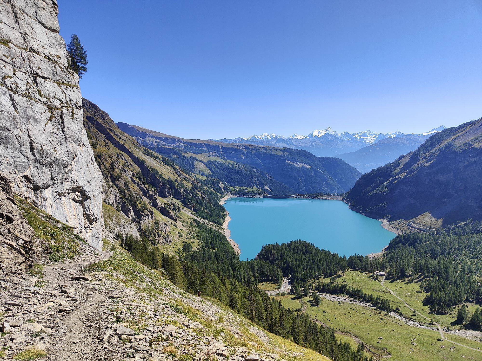
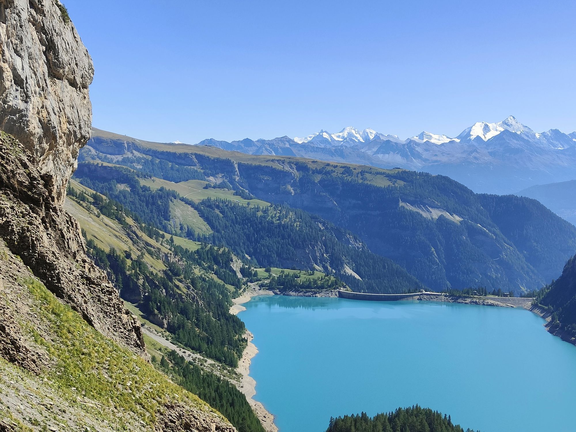
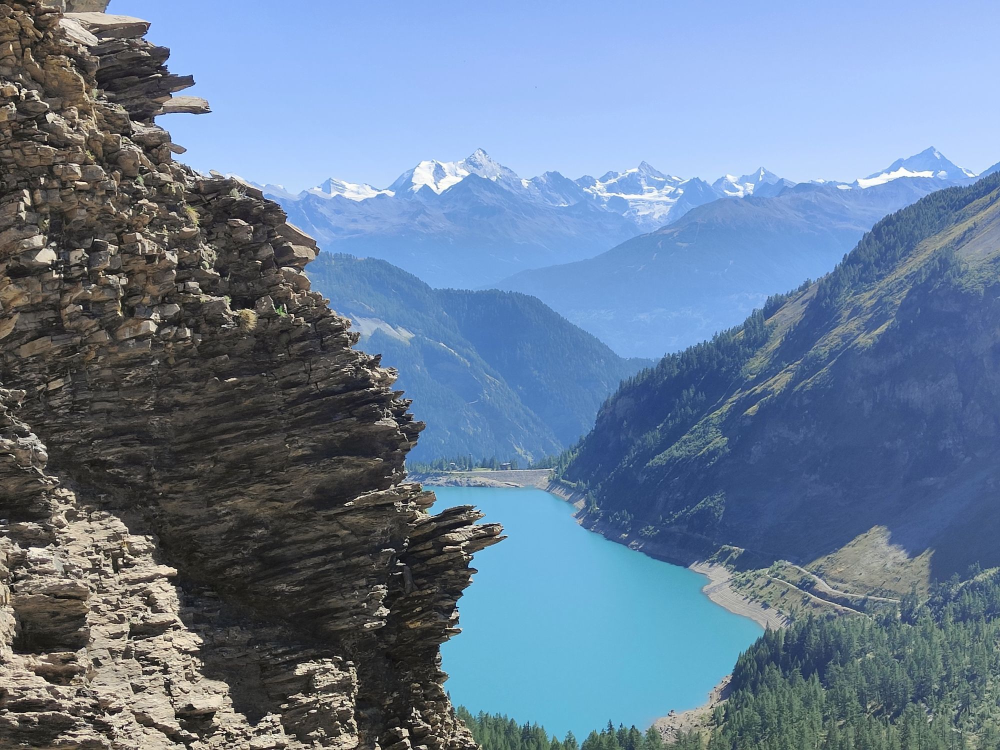
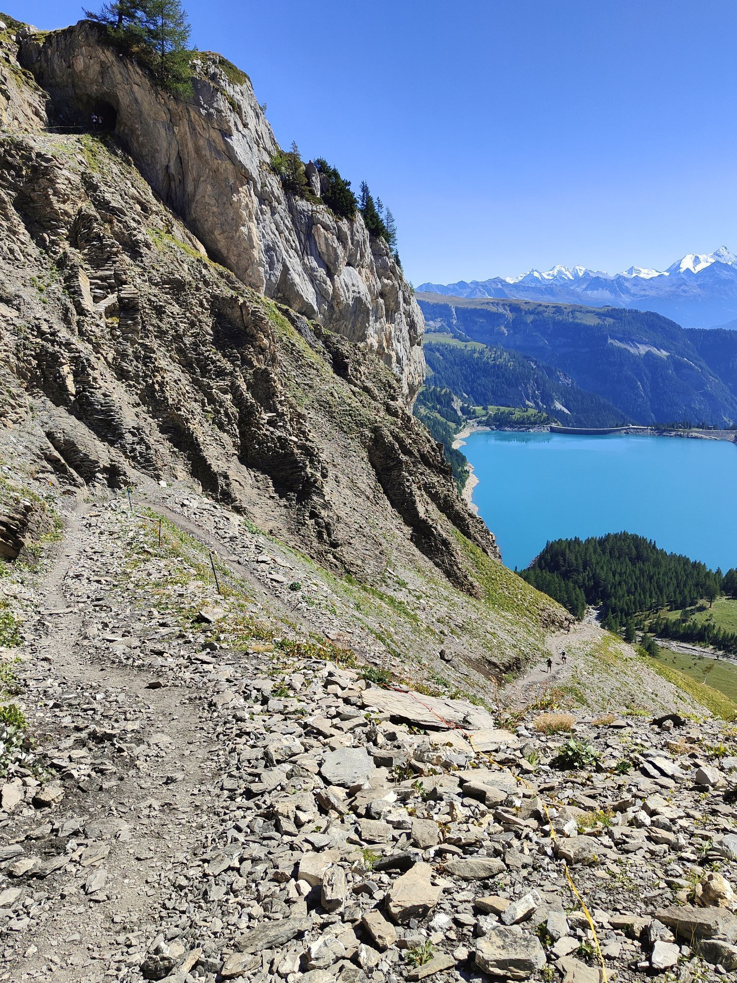
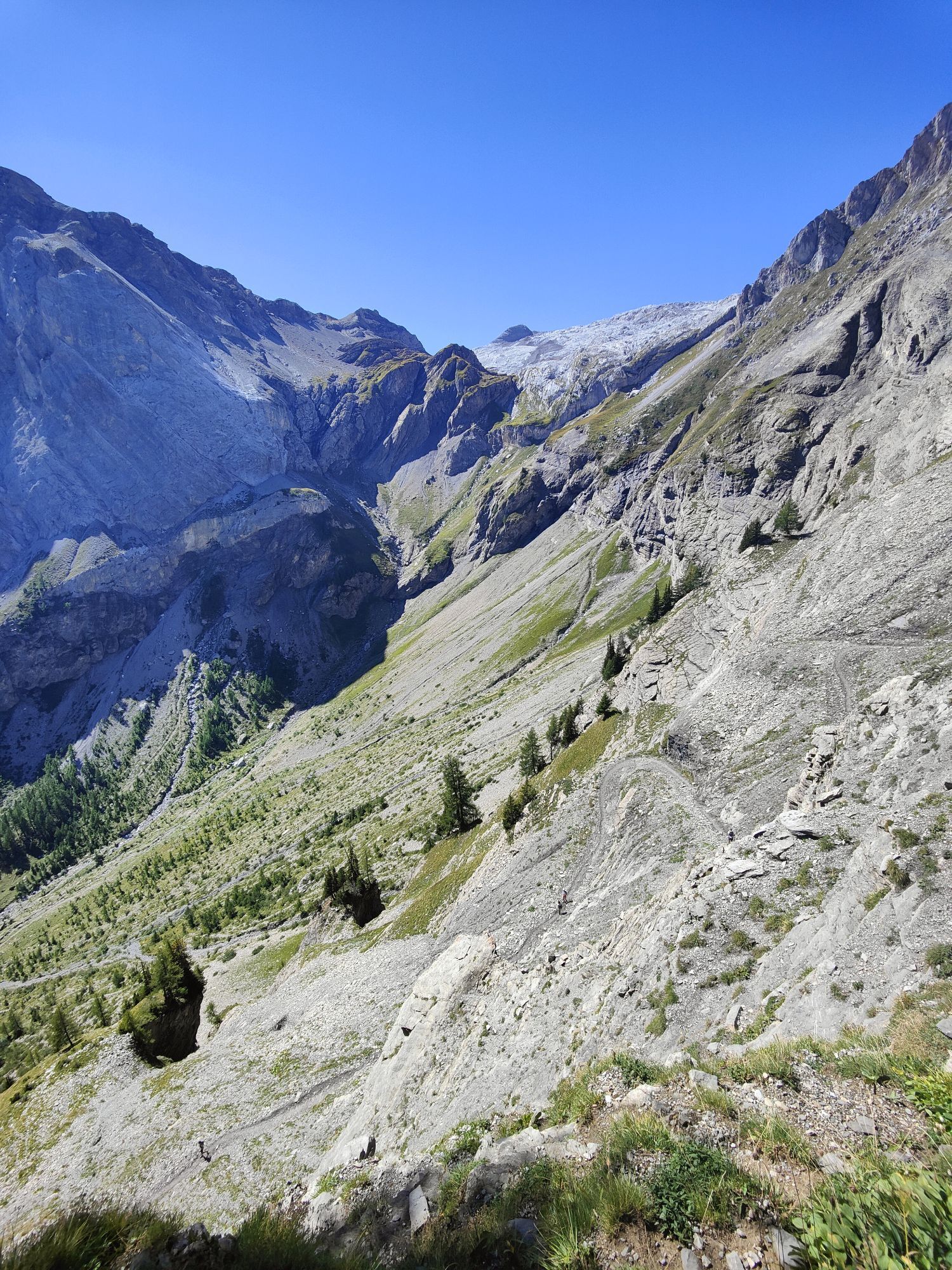
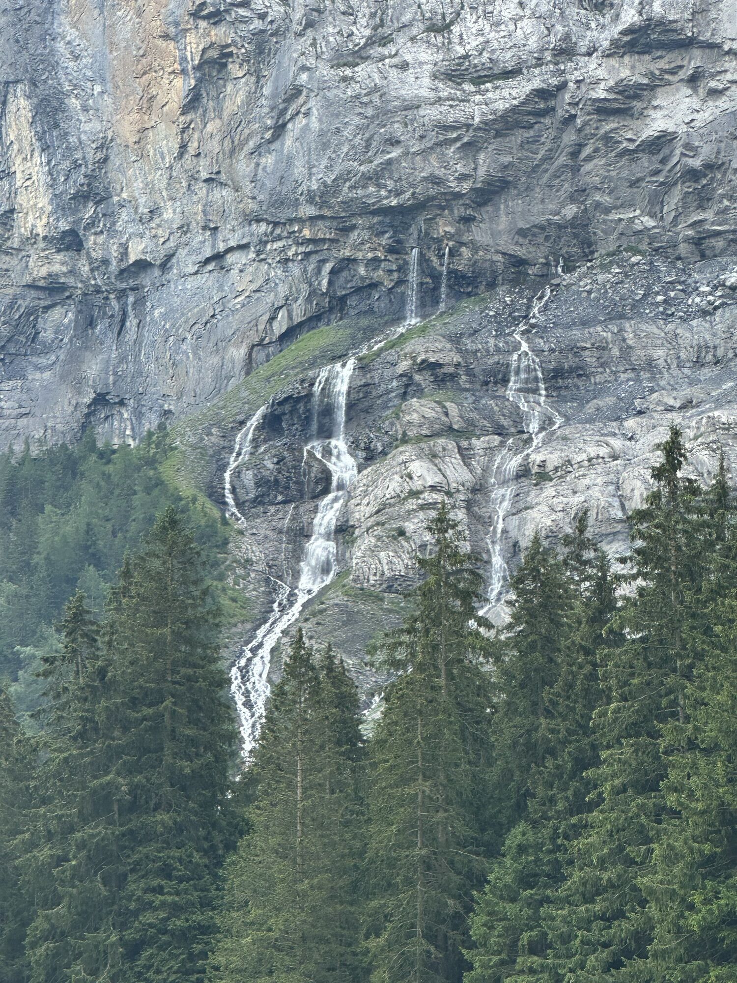
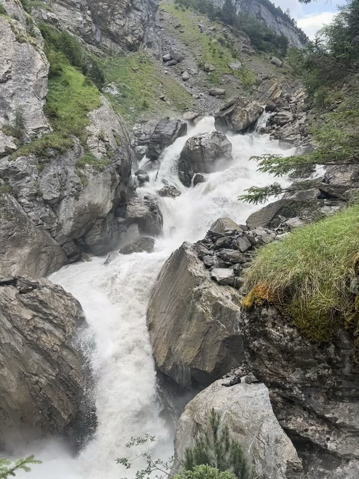
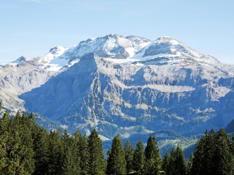
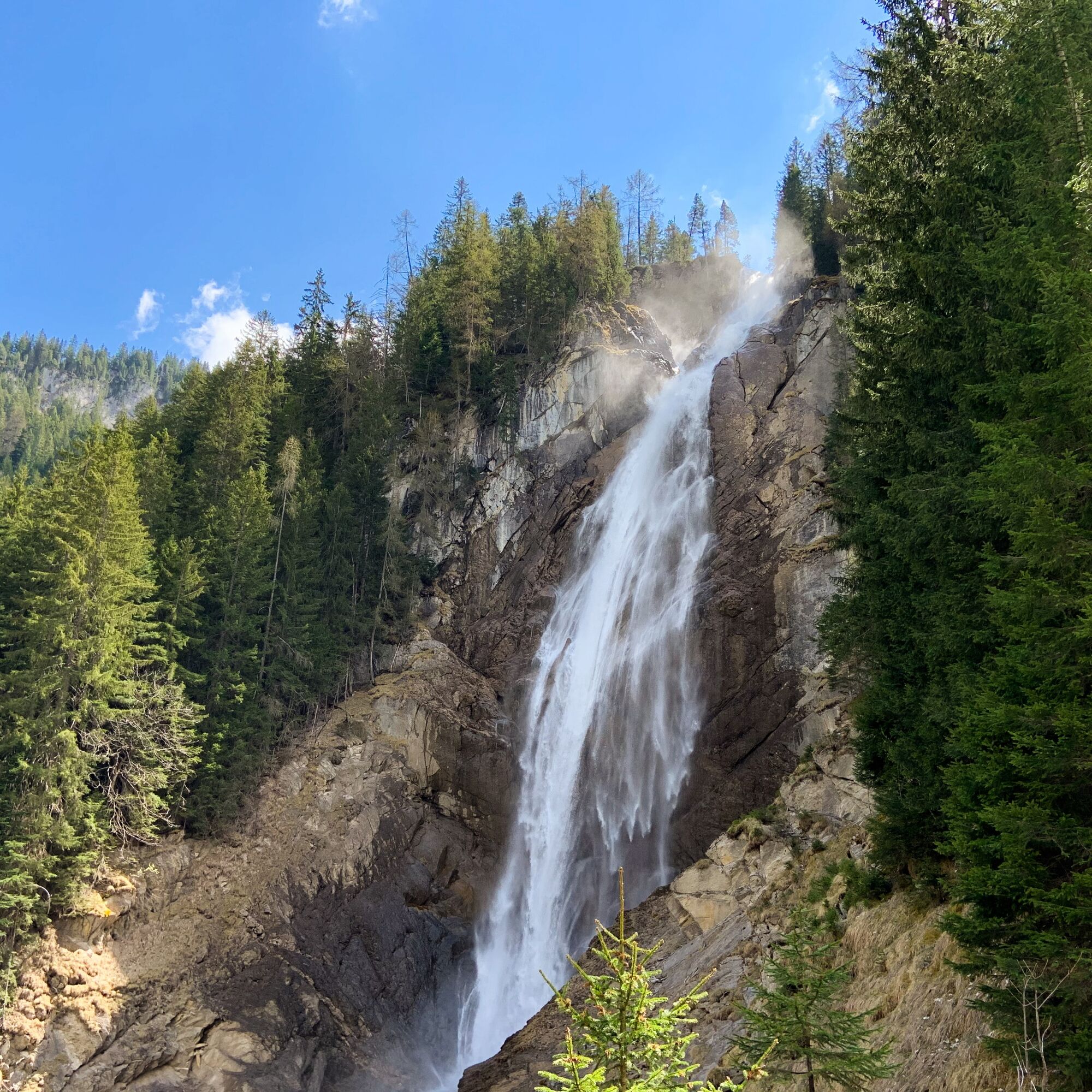
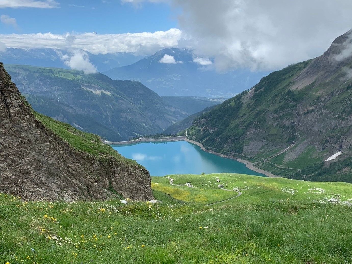
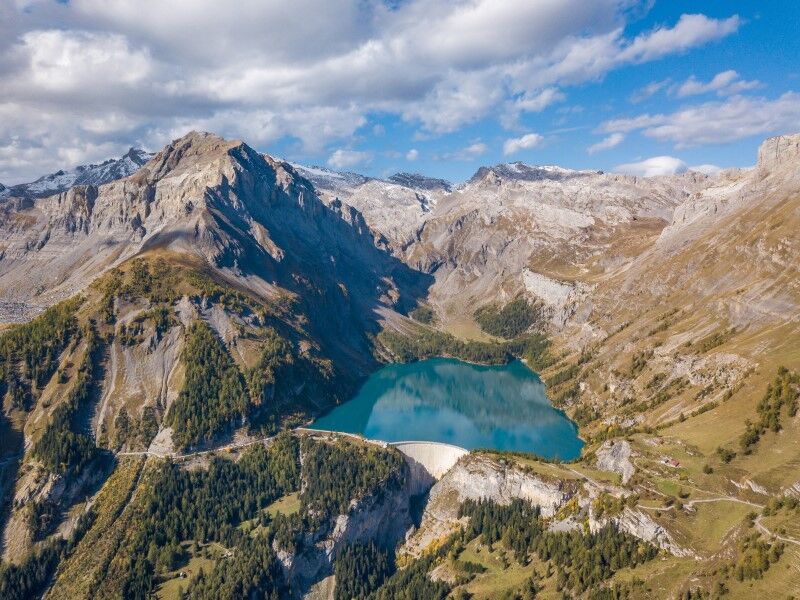
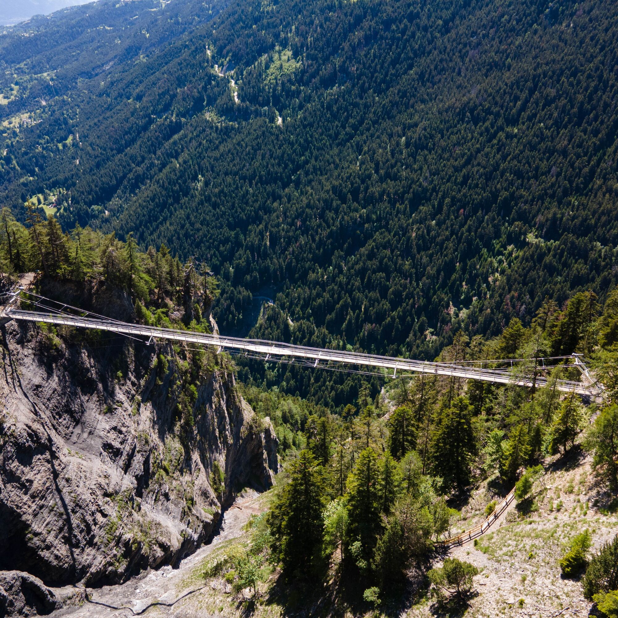
The next stage leads from the village of Lenk to Iffigenalp by AFA bus. Those who wish can also walk to Iffigenalp via the Iffig valley, passing alongside the Iffig waterfalls. Then follows a demanding ascent of nearly 1,000 meters elevation gain to Rawil Pass and on to the CAS Wildstrubel hut. The path, partly exposed, winds spectacularly along the rock to the pass. The effort is rewarded by a unique view of the Alps. Once the cantonal border is crossed, the descent is steep and passes in front of the impressive Tseuzier lake dam to reach Crans-Montana. Crossing the suspension bridge of the Bisse du Ro is a highlight and adventurous finale to the hike.
Alternative: do not do the loop to the Wildstrubel hut and ascend directly to Rawil Pass (-1h30). A return is also possible by bus from Tseuzier Lake to Crans-Montana. Timetables here.
Duration: approx. 7.5 hours
Distance: approx. 23 km
Positive elevation gain: 1,210 m
Negative elevation gain: 1,295 m
Day 7: Departure from Crans-Montana

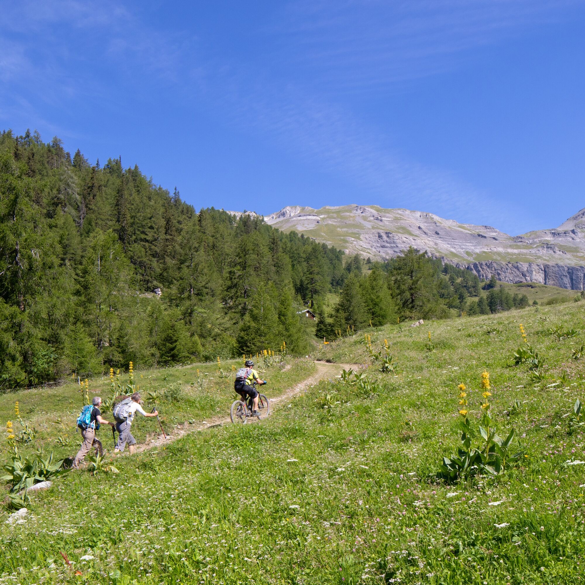

Crans-Montana - Cave du Sex - Varneralp - Leukerbad - Gemmipass - Kandersteg - Bunderalp - Adelboden - Hahnenmoospass - Lenk - Iffigenalp - Col du Rawil - Tseuzier Dam - Bisse du Ro - Crans-Montana
Da
Da
Da
Good walking shoes.
As weather changes quickly at altitude, bring suitable clothing.
Some passages like the Bisse du Ro are not recommended for people prone to vertigo.
Follow marked trails. Please respect wildlife, flora: nature.
Check the weather conditions before your departure.
Crans-Montana Tourism & Congress declines all responsibility in case of accident.
To reach Crans-Montana by car, take the A9 motorway (Rhône motorway) exit called "Sierre West." At the exit, turn left and follow the signs for "Sierre." At the roundabout, turn right. Continue for 500 meters and at the entrance to Sierre, turn left in the direction of "Crans-Montana."
Once in Crans-Montana, follow the signs to Ycoor, then the Stephani, Victoria, or Clovelli parking lots. The journey from Sierre takes about 25 minutes.
The Crans-Montana resort is accessible from Sierre station by the SMC bus company or the funicular. The nearest stop to the start of the hike is: Ycoor.
Free shuttles by the SMC bus company serve the entire Crans-Montana resort. The nearest stop to the start of the hike is Ycoor.
Stephani Parkingni
Victoria Parking
Clovelli Parking
An ambitious hike. It is essential to have sure-footing and be in very good physical condition to undertake long hikes in alpine terrain. The trails are steep but well passable. It is better not to be afraid of heights for the stage at the Bisse du Ro on the path leading to Crans-Montana!
Spletne kamere s turneje
-
Sillerenbühl
-
Lenk - Betelberg
-
Tele Anzère
-
Lenk - Lenkerhof
-
Adelboden Boden
-
Adelboden Boden
-
Sillerenbühl
-
Sillerenbühl
-
Sillerenbühl
-
Sillerenbühl
-
Sillerenbühl
-
Anzère Village
-
Sillerenbühl
-
Sillerenbühl
-
Mülkerblatten
-
Mülkerblatten
-
Mülkerblatten
-
Mülkerblatten
-
Mülkerblatten
-
Mülkerblatten
-
Mülkerblatten
-
Luzerner Höhenklinik Montana
-
Crans Montana - Bergstation Nationale
-
Gemmi - Lodge und Bahnen
-
Torrent - Schwalbennest
-
Gran Masta Park - Adelboden-Lenk
-
Torrent - Rinderhütte
-
Berghotel Oeschinensee
-
Golfplatz - Severiano Ballesteros
-
Golfplatz - Severiano Ballesteros
-
Bergstation Skilift Höchst-Metsch
-
Bergstation Skilift Höchst-Metsch
-
Bergstation Skilift Höchst-Metsch
-
Bergstation Skilift Höchst-Metsch
-
Bergstation Skilift Höchst-Metsch
-
Bergstation Skilift Höchst-Metsch
-
Bergstation Skilift Höchst-Metsch
-
Bratsch
-
Gondelbahn Bergstation
-
Gondelbahn Bergstation

Priljubljeni izleti v okolici
-
4.3
Rundwanderung Lötschenpasshütte
srednjaPohodništvo 12.2 km -
5.0
Bisse du Ro
svetlobaPohodništvo 11.2 km -
5.0
Lauchernalp-Lötschenpass-Selden
težkoPohodništvo 12.0 km -
4.7
Leukerbad - Gemmipass - Lämmerenhütte
srednjaPohodništvo 9.49 km -
5.0
Restipass
Pohodništvo 14.5 km -
4.0
Gemmipass - Lämmerenhütte - Rote Totz Lücke - Daubensee - Gemmipass
srednjaPohodništvo 13.7 km -
5.0
Torrenthorn- Rigi der Walliser Alpen
Pohodništvo 2.99 km -
5.0
Klettersteig Daubenhorn
težkoVia ferrata 5.34 km -
Zu den Engstligenfällen
srednjaPohodništvo 8.06 km -
4.8
Leukerbad - Gemmipass
težkoPohodništvo 4.73 km

Pohodništvo in sledenje


Ne zamudite ponudb in navdiha za naslednje počitnice
Vaš e-poštni naslov je bil dodan na poštni seznam.





