







From Gortipohl via Innergant and Innerziggam to St. Gallenkirch
Stopnja težavnosti: 2
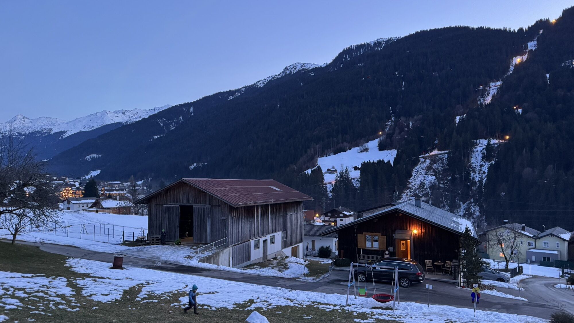

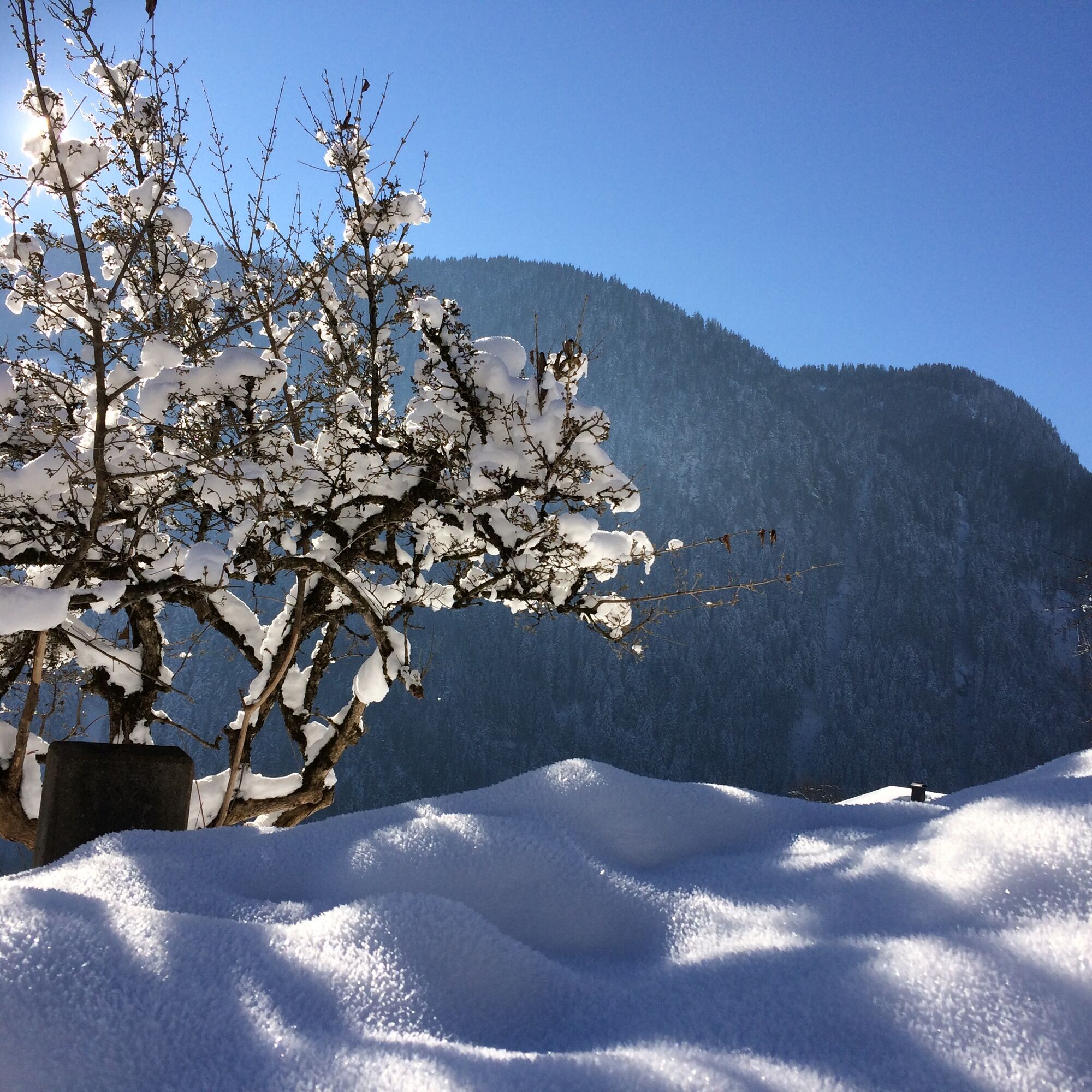
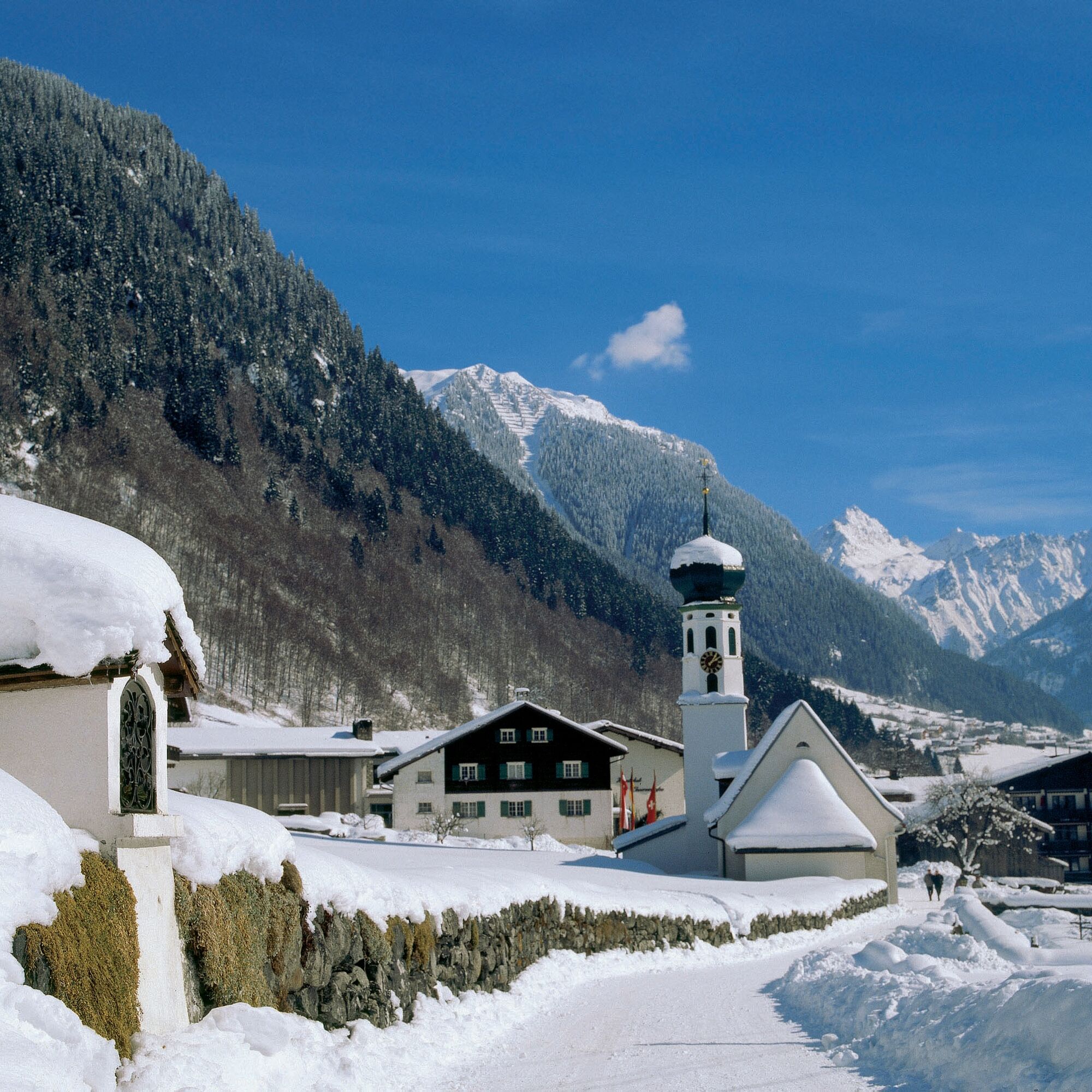
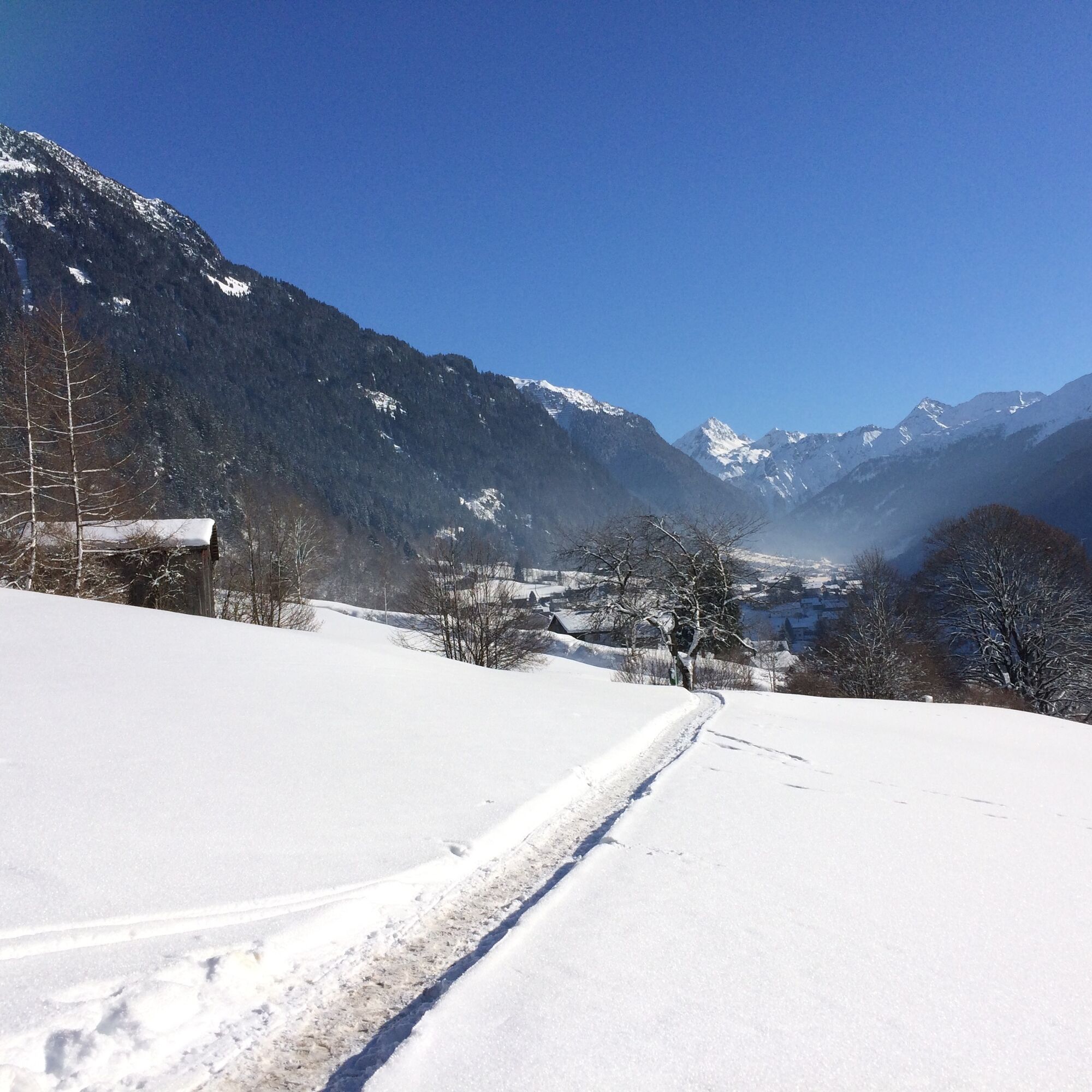
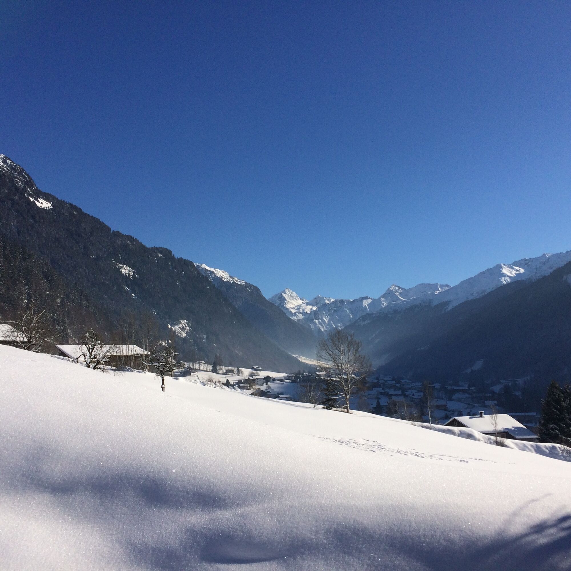

The hike starts in the village center of Gortipohl and leads slightly uphill over the Allmeinweg. You cross the Balbierbach and follow the path to Innergant. You continue downstream on the Hanswolfaweg. Due to the elevated locations of St. Gallenkirch and Gortipohl, you have a beautiful view of everything. You reach Innerziggam. You pass by the Muntanella Stöbli and shortly afterwards reach the village center of St. Gallenkirch.
To return to Gortipohl, either follow the Illweg path or take the public bus (Line 85).
Make sure to wear sturdy footwear appropriate for the conditions.
EMERGENCY CALL:
140 Alpine emergencies throughout Austria
144 Alpine emergencies Vorarlberg
112 European emergency call (works with any mobile phone/network)
www.vorarlberg.travel/sicherheitstipps
Take the A14 to the Bludenz/Montafon exit and continue on Montafonerstraße L188 to Gortipohl.
Just leave your car behind
The regional buses operate throughout Montafon. The main lines run every 30 minutes from Schruns train station.
Bus stop at the start of the route: Gortipohl Center / Line 85
Bus stop at the end of the route: St. Gallenkirch Center
Schedule: www.vmobil.at
Traveling to Montafon by train
The Montafonerbahn runs hourly (sometimes every half hour) from Bludenz station. There are also direct connections from Lindau (D) and Bregenz.
Schedule: www.oebb.at
Center in St. Gallenkirch. It is recommended to travel to Gortipohl using public transportation.
2
This route is marked with pink number 7 on the overview map "Aktivkarte Schnee" on the back. The map is available for free at the Montafon tourist offices.
Pridobite vpogled
Vedno v živo na mestu z več kot 9.500 spletnimi kamerami. bergfex Kot uporabnik Pro si lahko zdaj ogledate ustrezne spletne kamere za številne izlete v aplikaciji izleti iz. Tako si lahko neposredno ogledate trenutne razmere.
Priljubljeni izleti v okolici
-
5.0
Ski tour to the Lindauer Hut (1,744 m)
svetlobaSmučarska tura 14.0 km -
4.7
Smuggler’s path
srednjaTematska pot 8.60 km -
4.4
Golm-Rundwanderweg im Rätikon
srednjaTematska pot 7.28 km -
4.6
Over the historic mine and Fritzensee to Rellseck
srednjaPohodništvo 7.25 km -
4.3
Golmerbahn Bergstaion Grüneck - Golmer Höhenweg - Geißspitze - Lindauer Hütte - Latschau
srednjaPohodništvo 11.5 km -
4.7
Kristberg - Wasserstubental - Silbertal
svetlobaPohodništvo 13.8 km -
4.5
Madrisella summit path
srednjaTematska pot 10.8 km -
4.8
Heilbronner lodge
srednjaPohodništvo 13.0 km -
4.9
Alpgues Runde
srednjaPohodništvo 9.21 km -
3.2
Bielerhöhe and circular hike around the Silvretta reservoir
srednjaPohodništvo 13.1 km
Pohodništvo in sledenje


Ne zamudite ponudb in navdiha za naslednje počitnice
Vaš e-poštni naslov je bil dodan na poštni seznam.





