


Montafoner Rätikonrunde | Douglass Hut to Carschinahütte (CH)

A route for mountain enthusiasts who appreciate the natural beauty of the mountains as well as refined, regional cuisine. The hiking trails lead through the varied Rätikon. The limestone rock of the Rätikon...
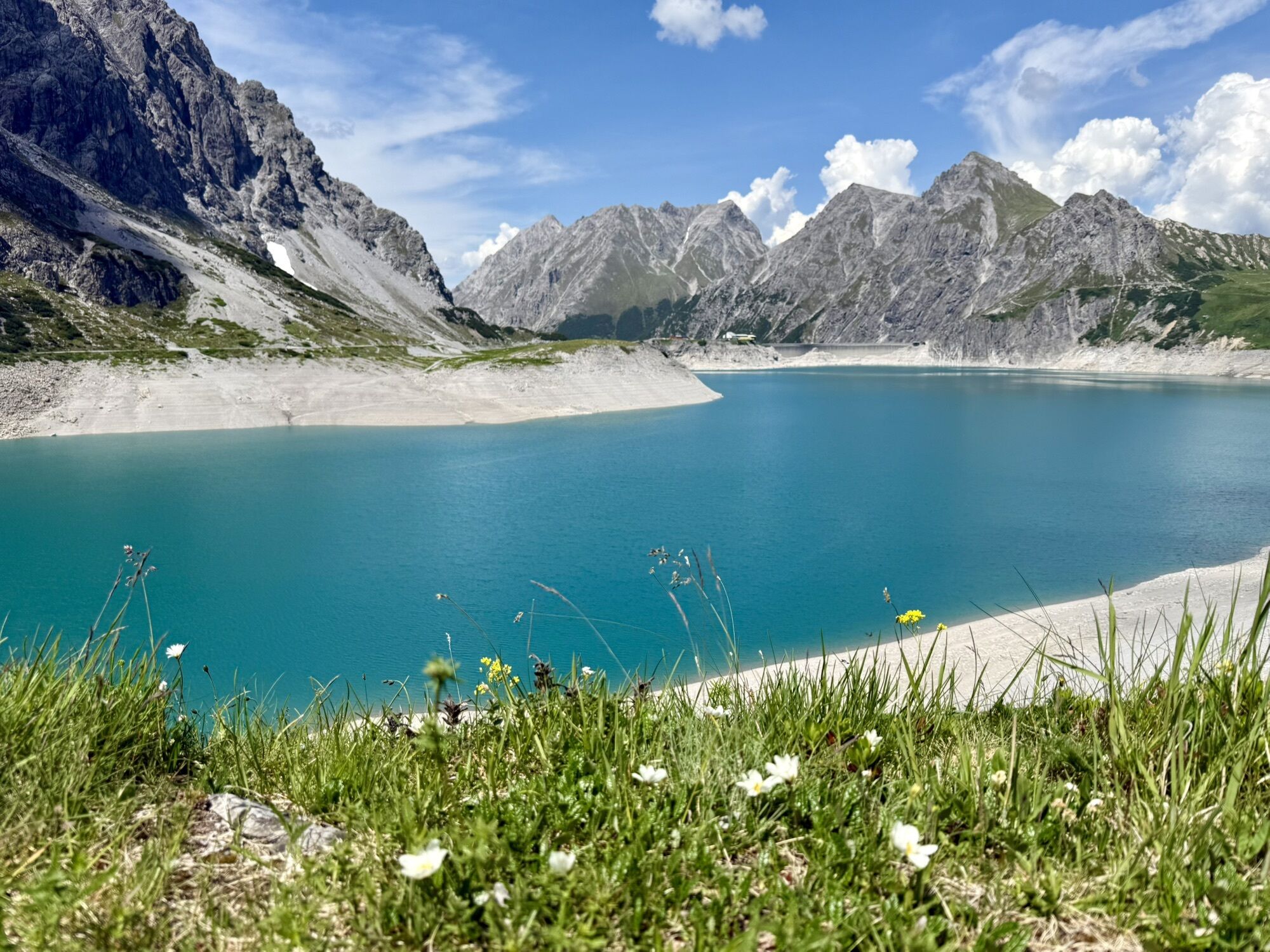
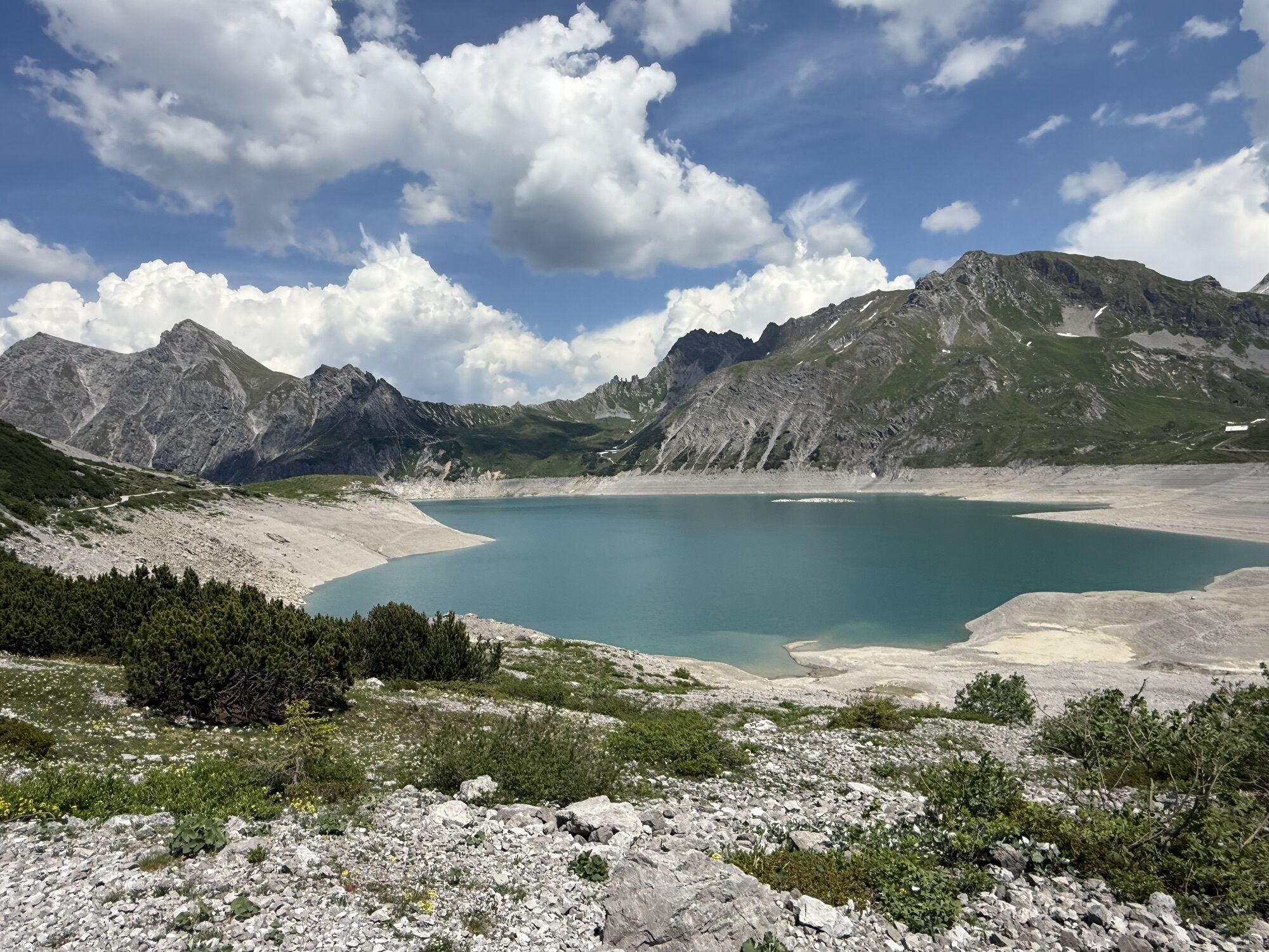
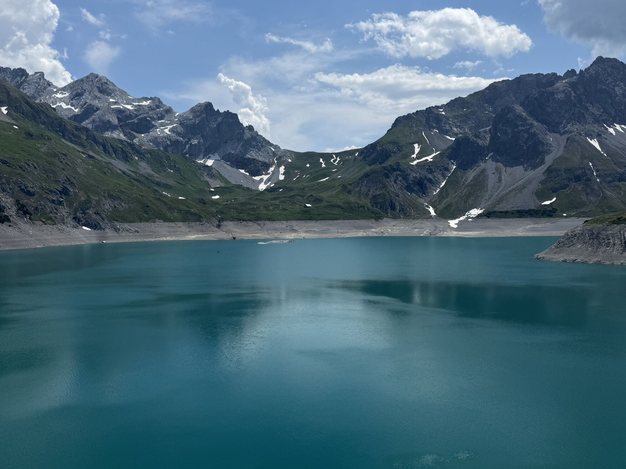
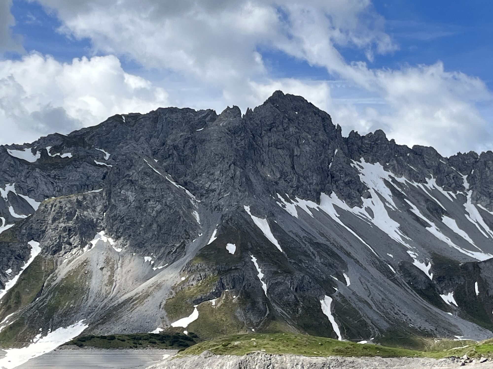
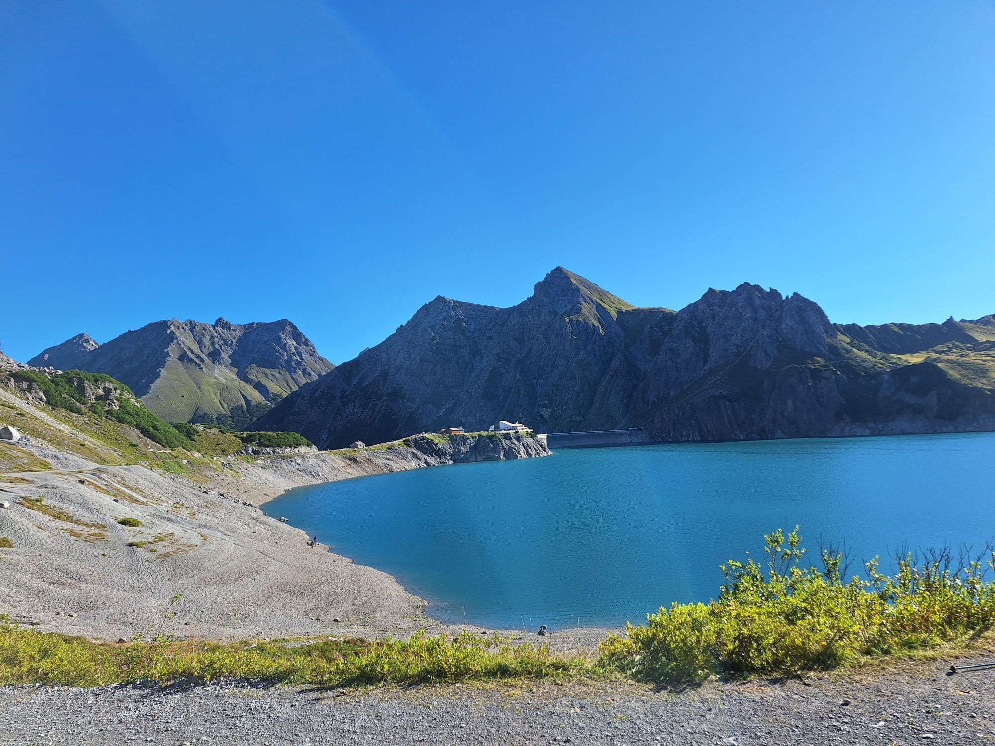
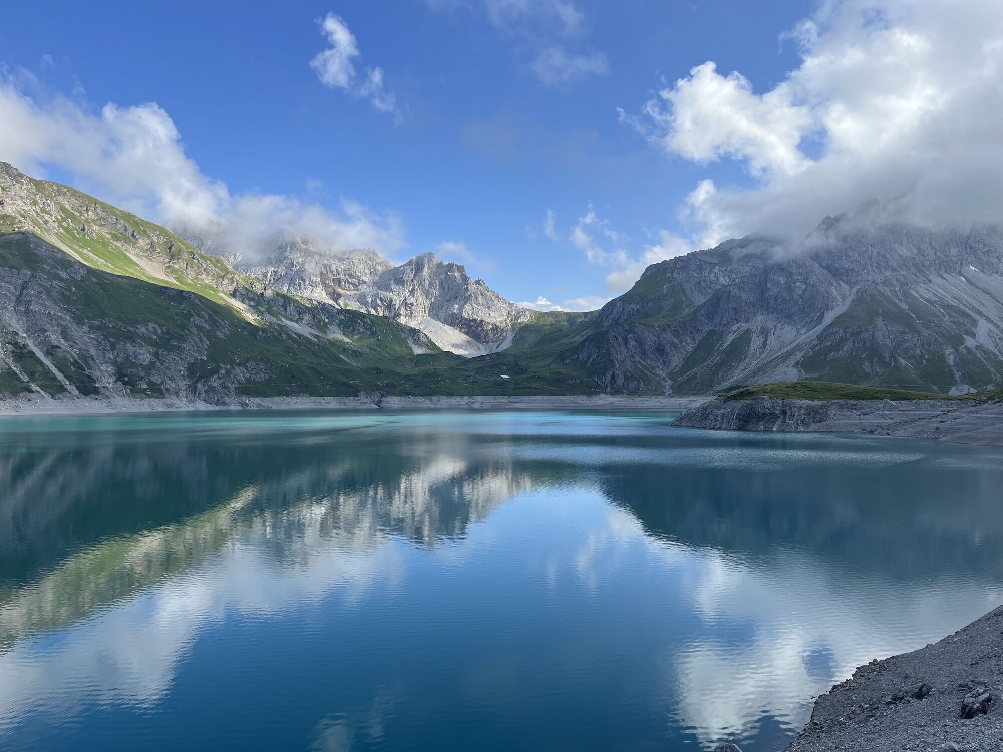
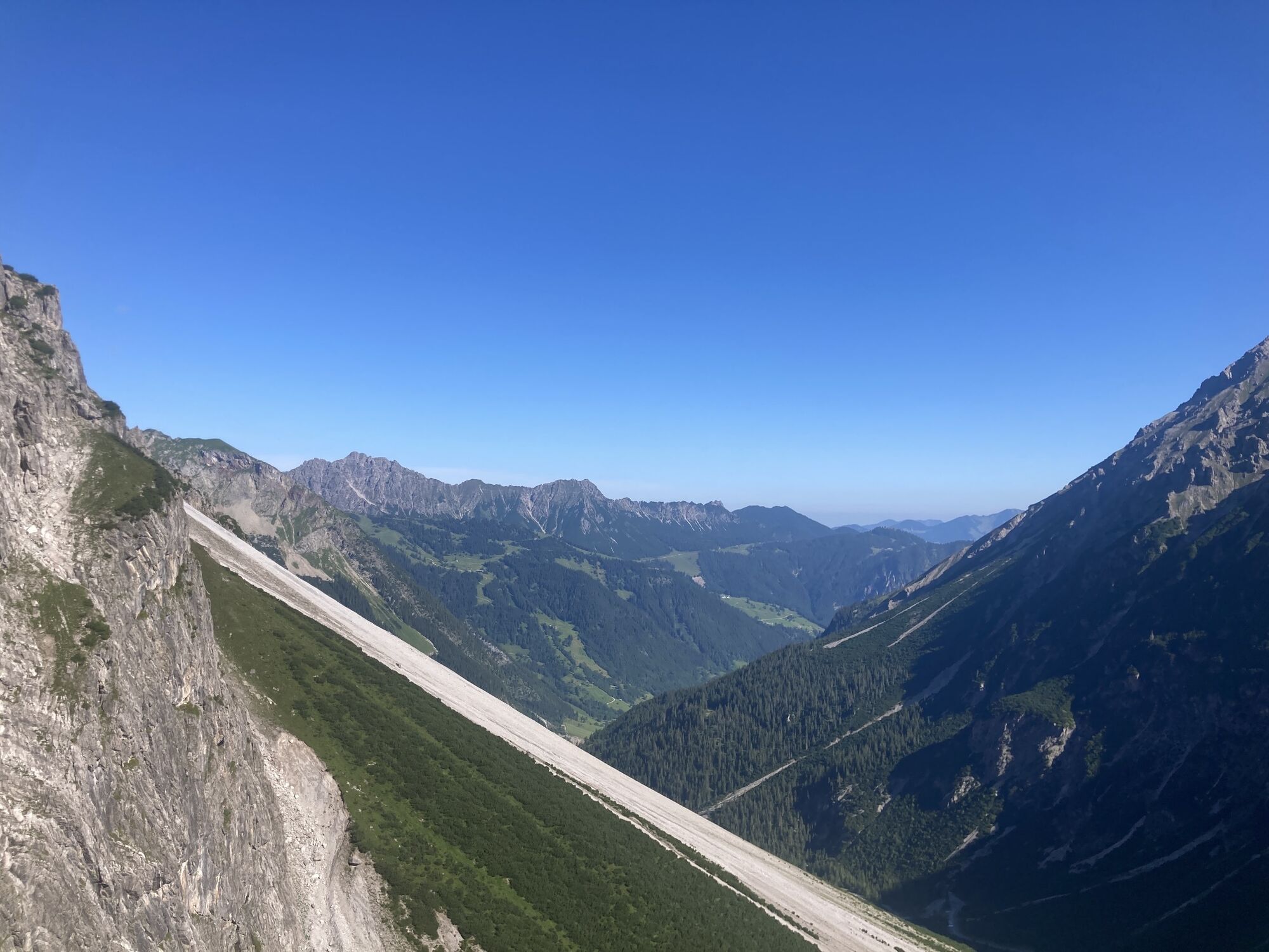
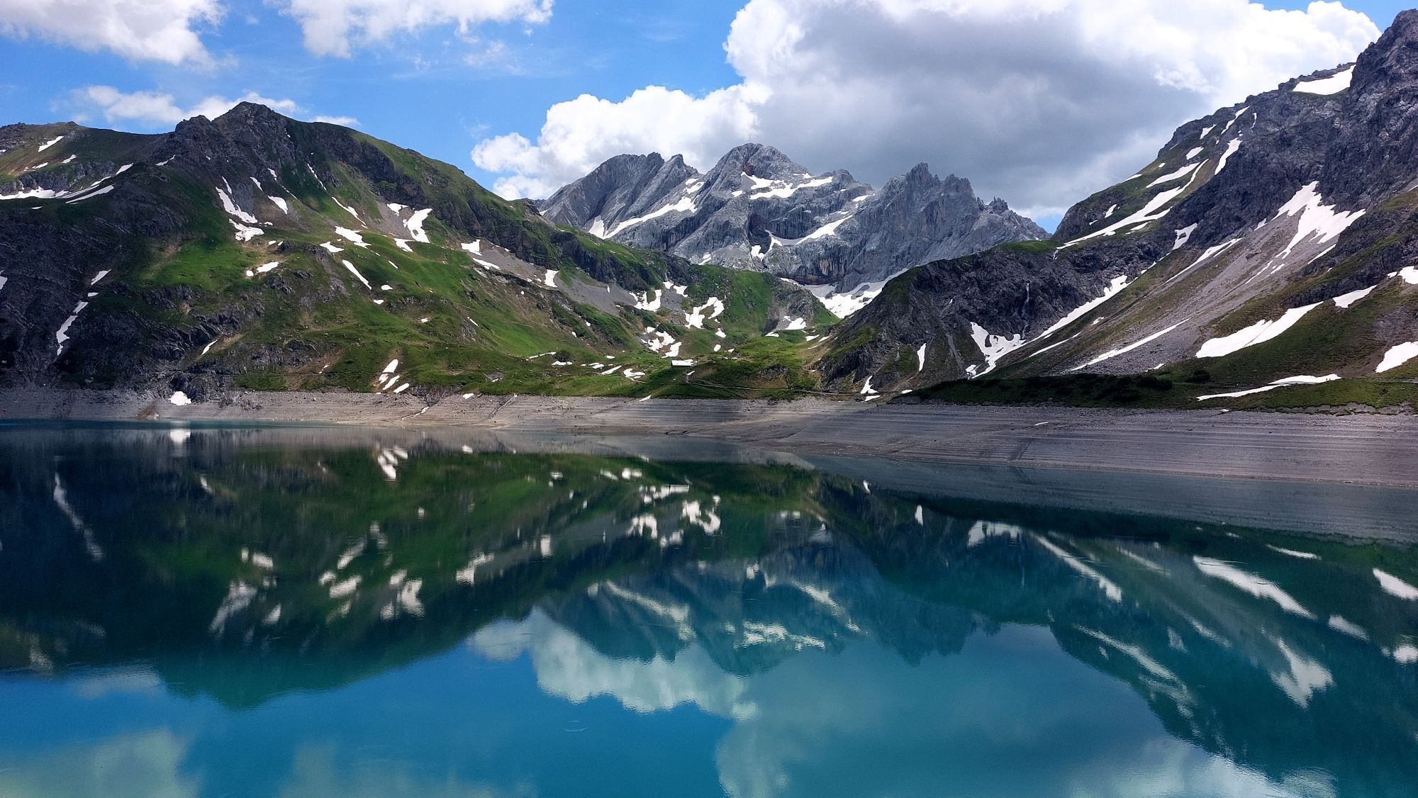
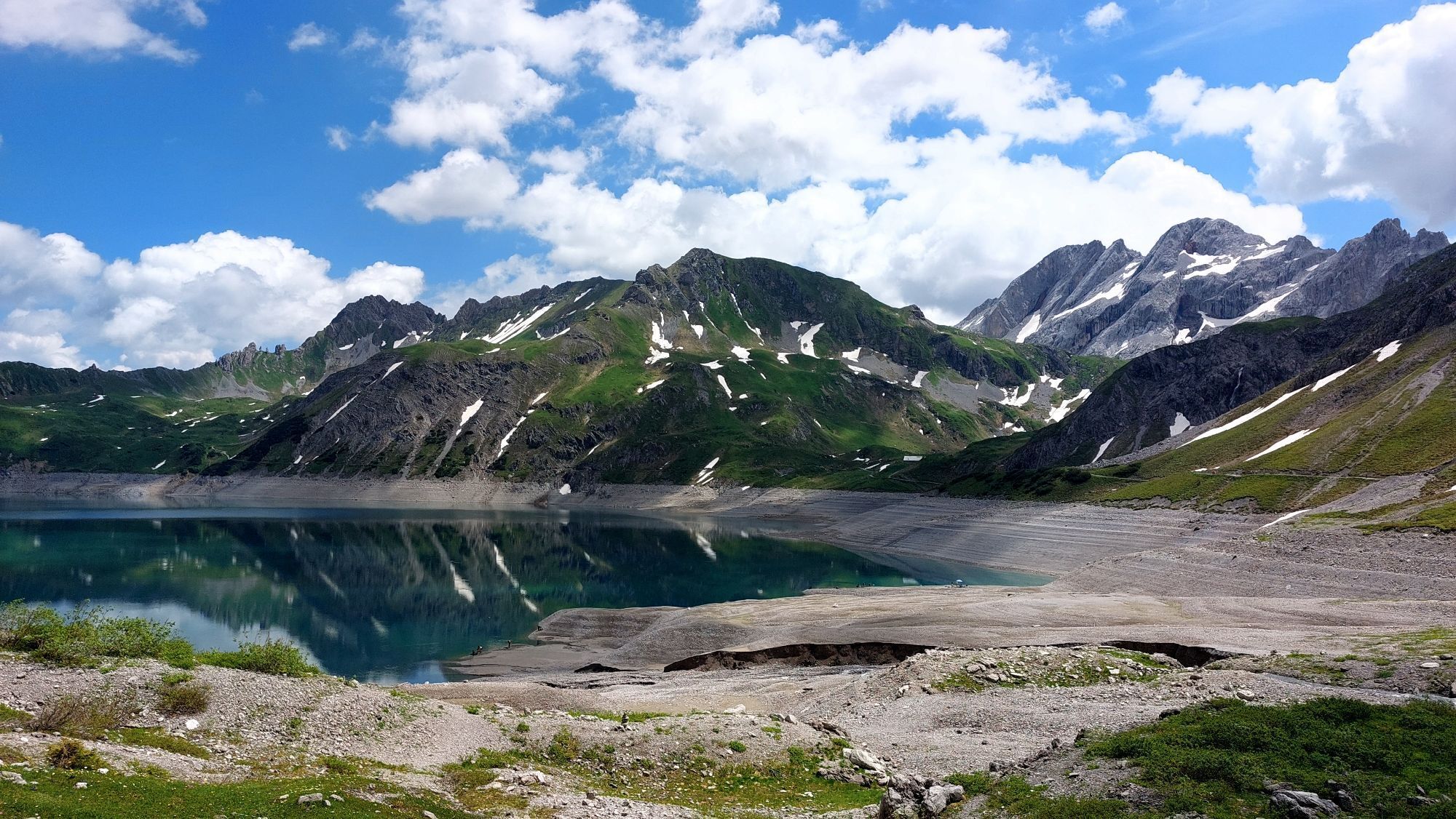
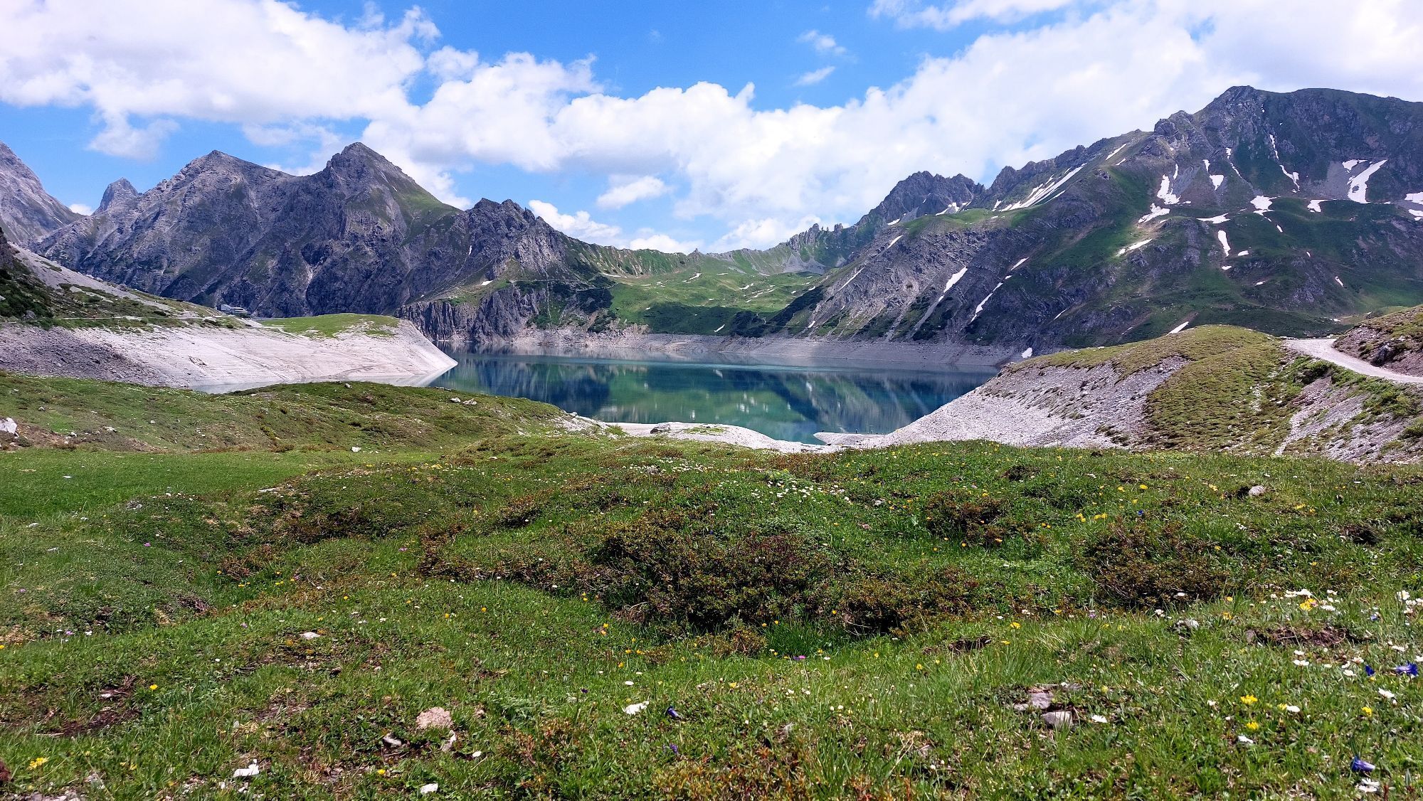
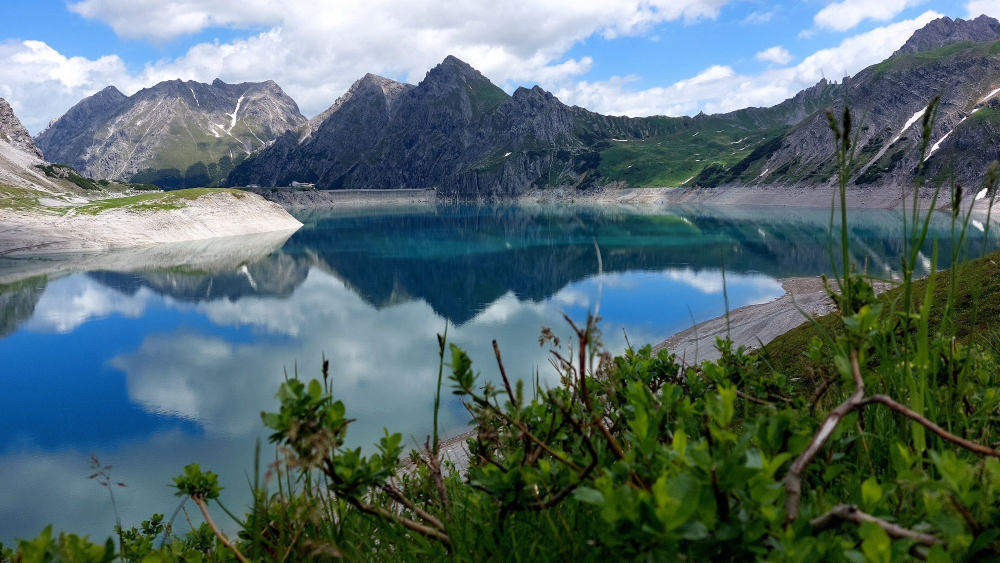
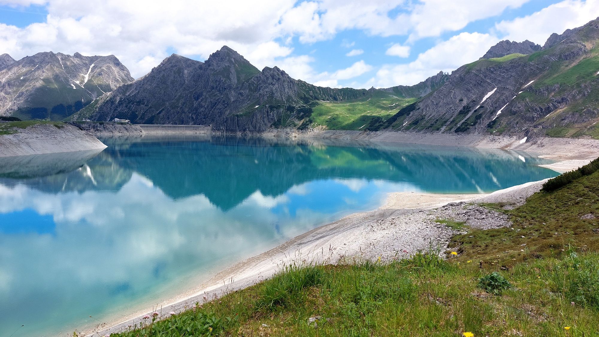
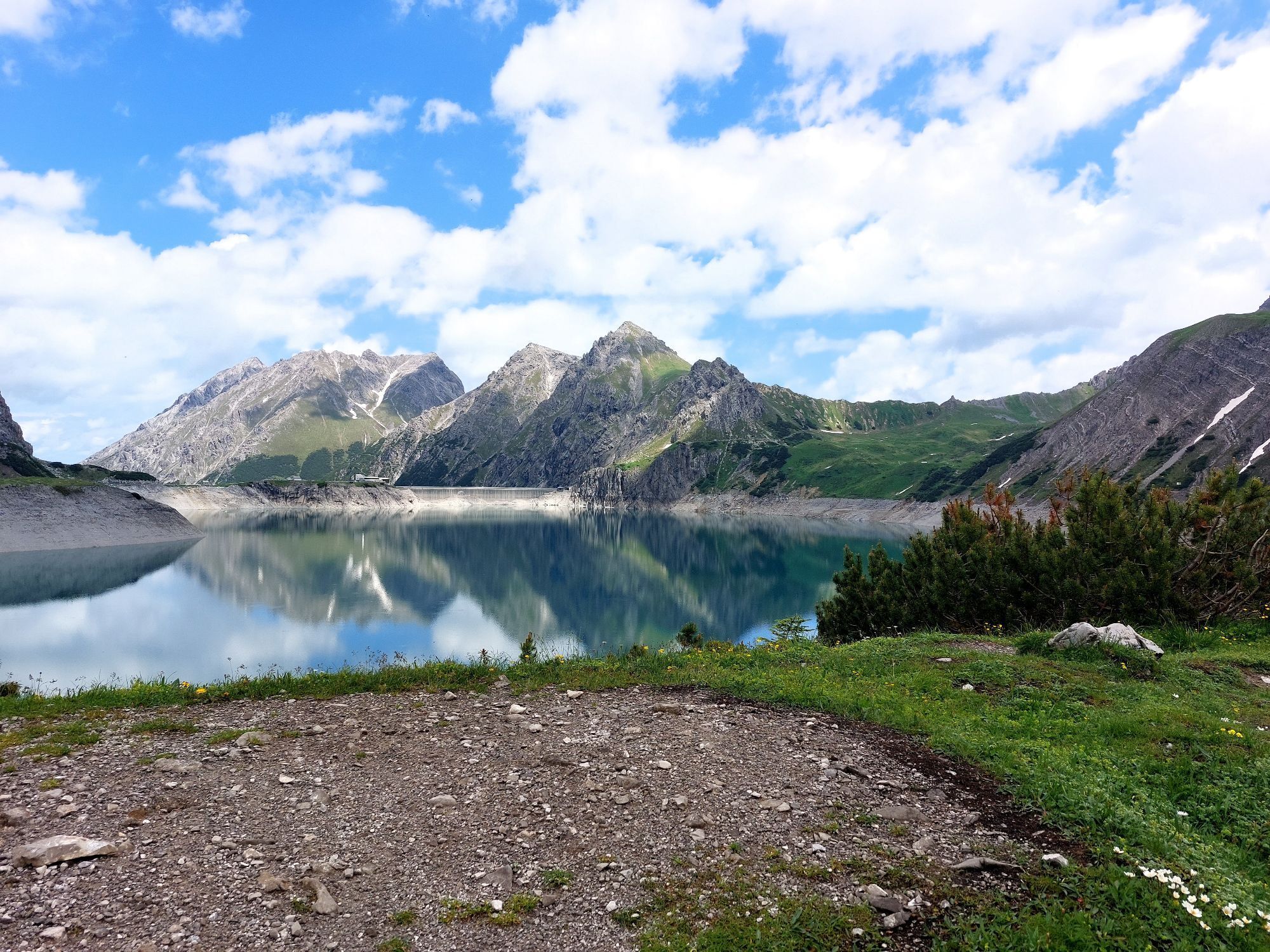
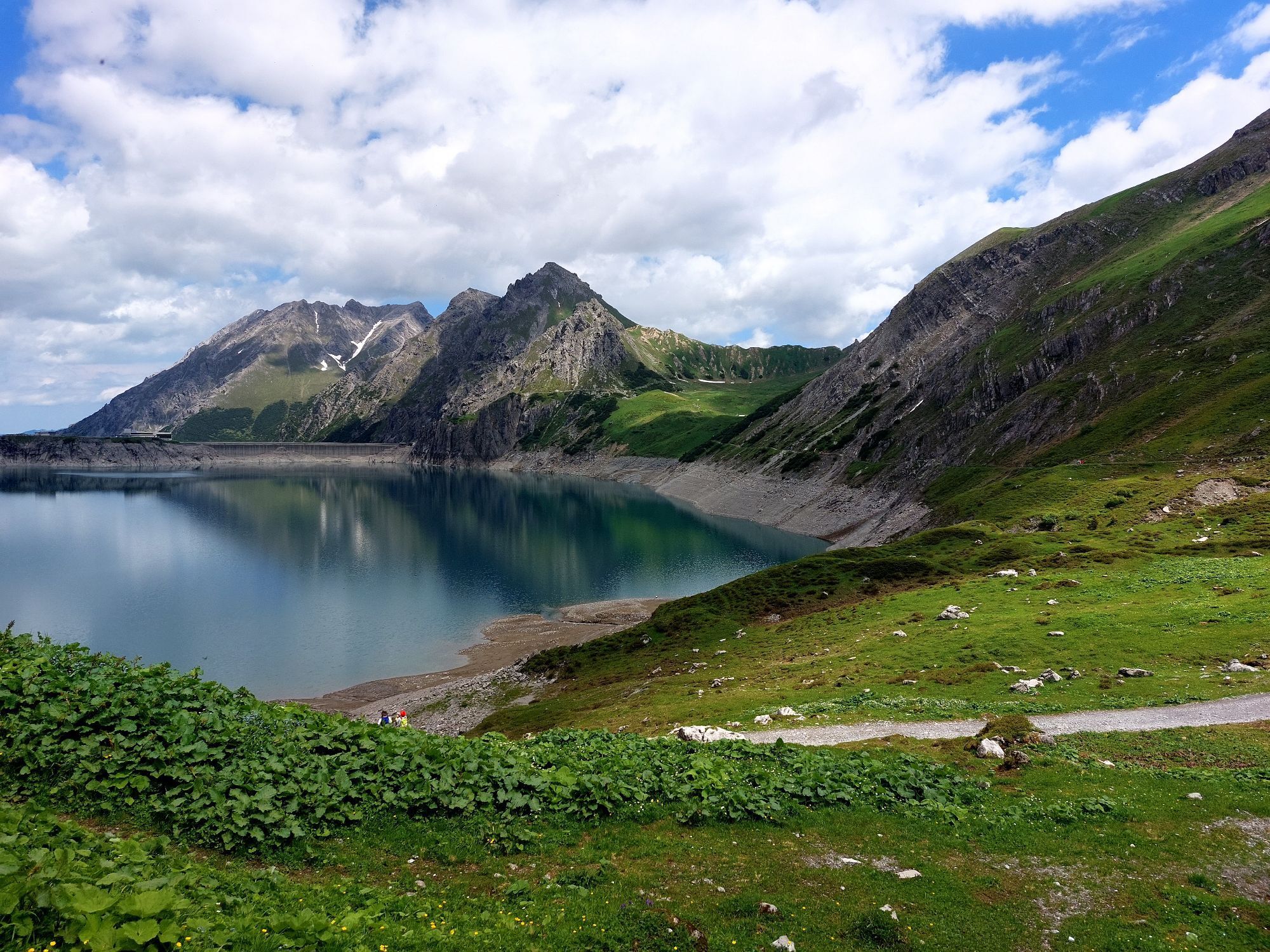
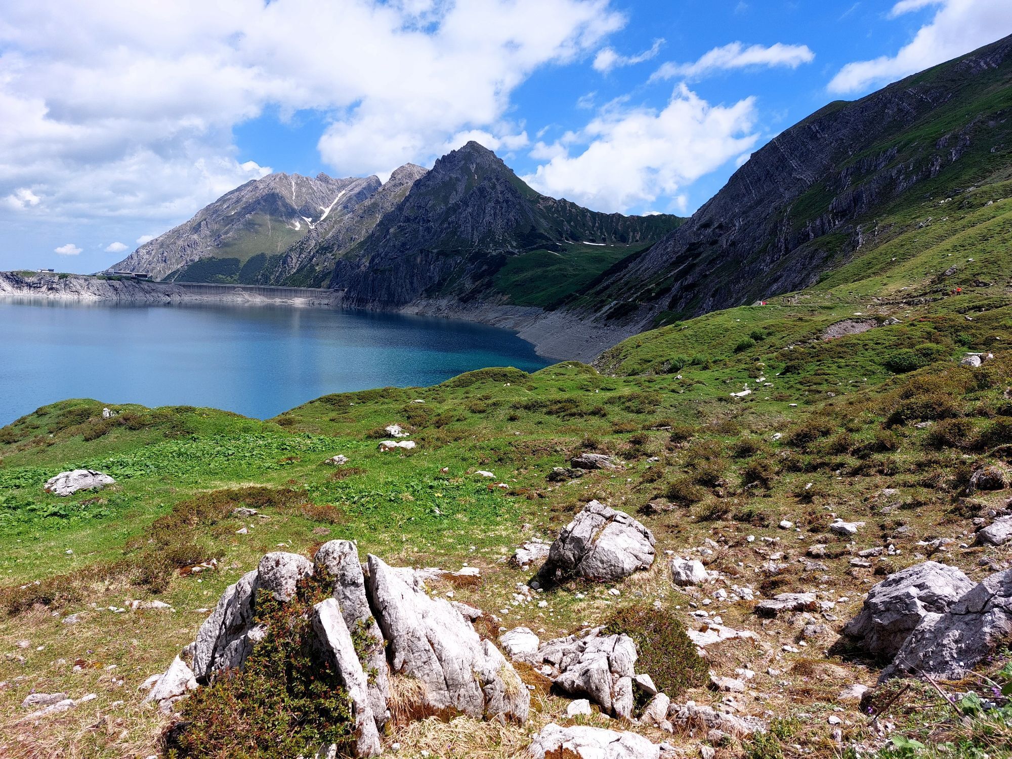
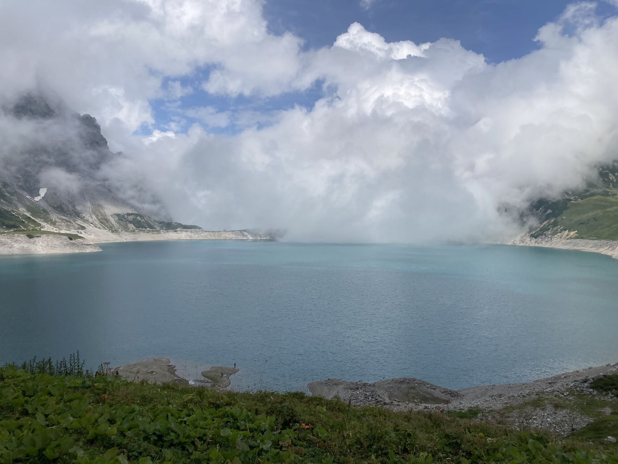
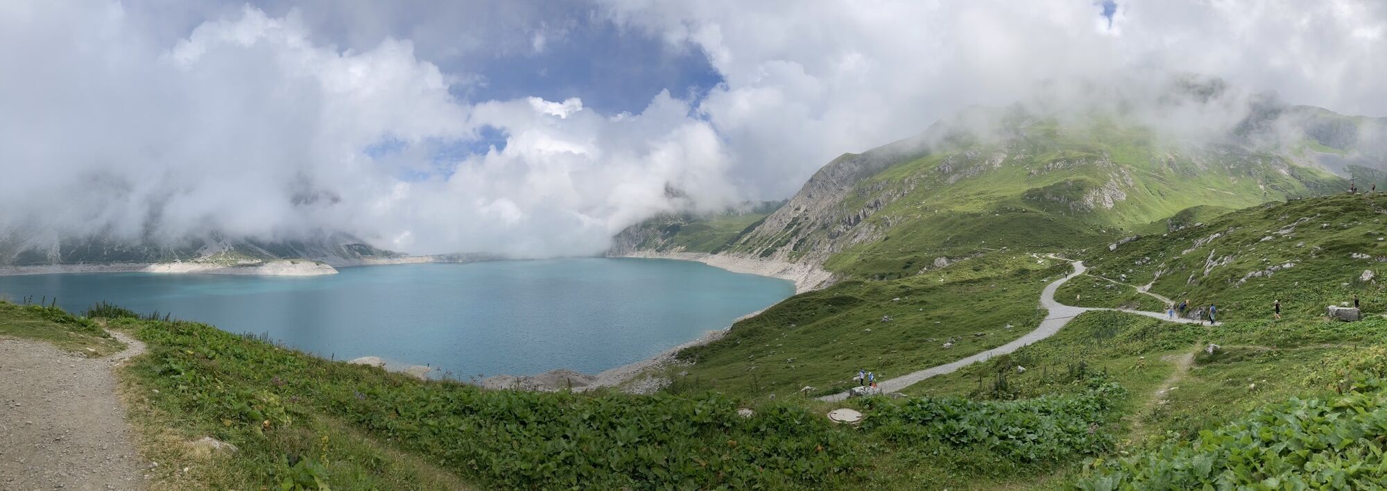
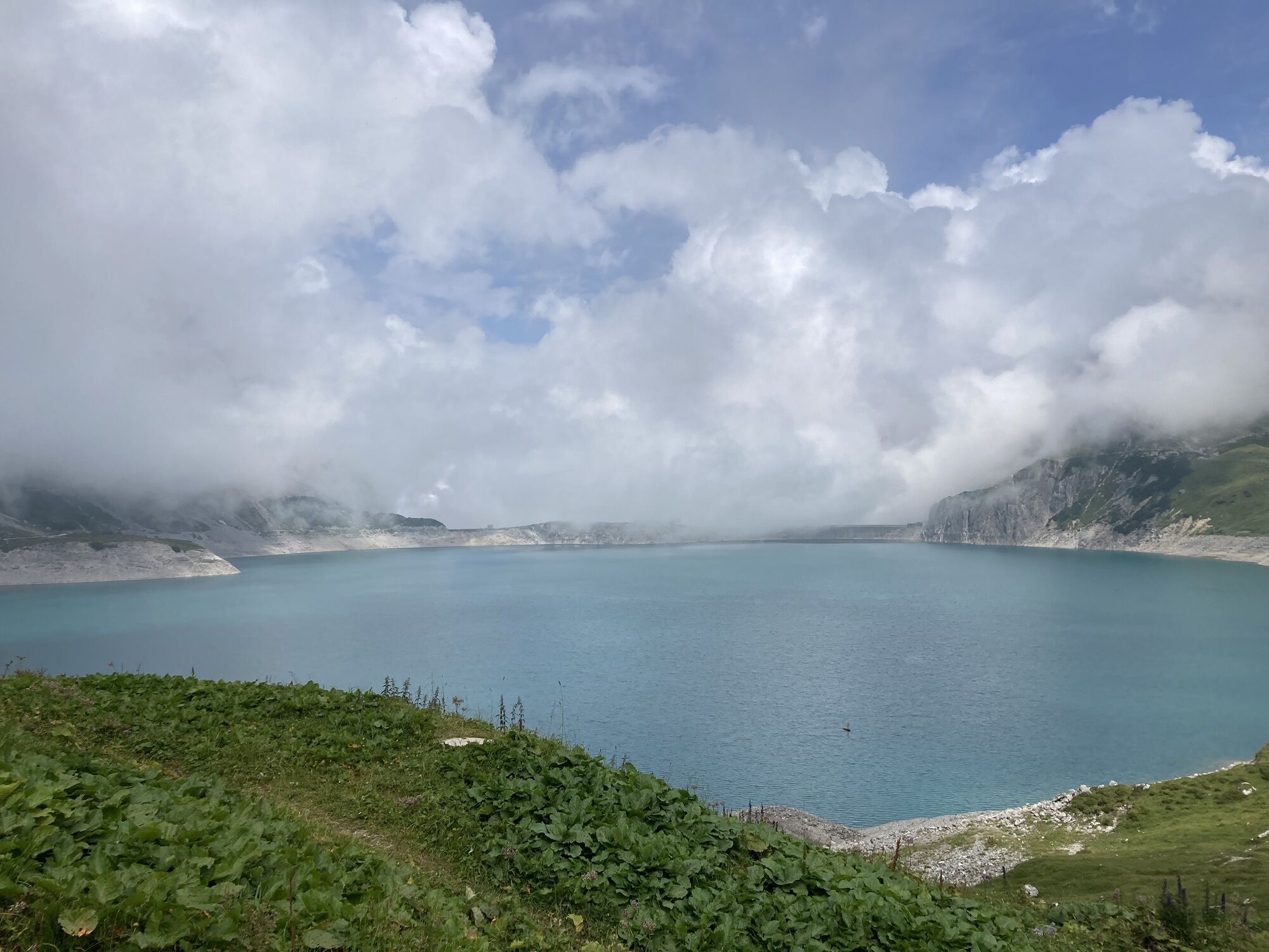
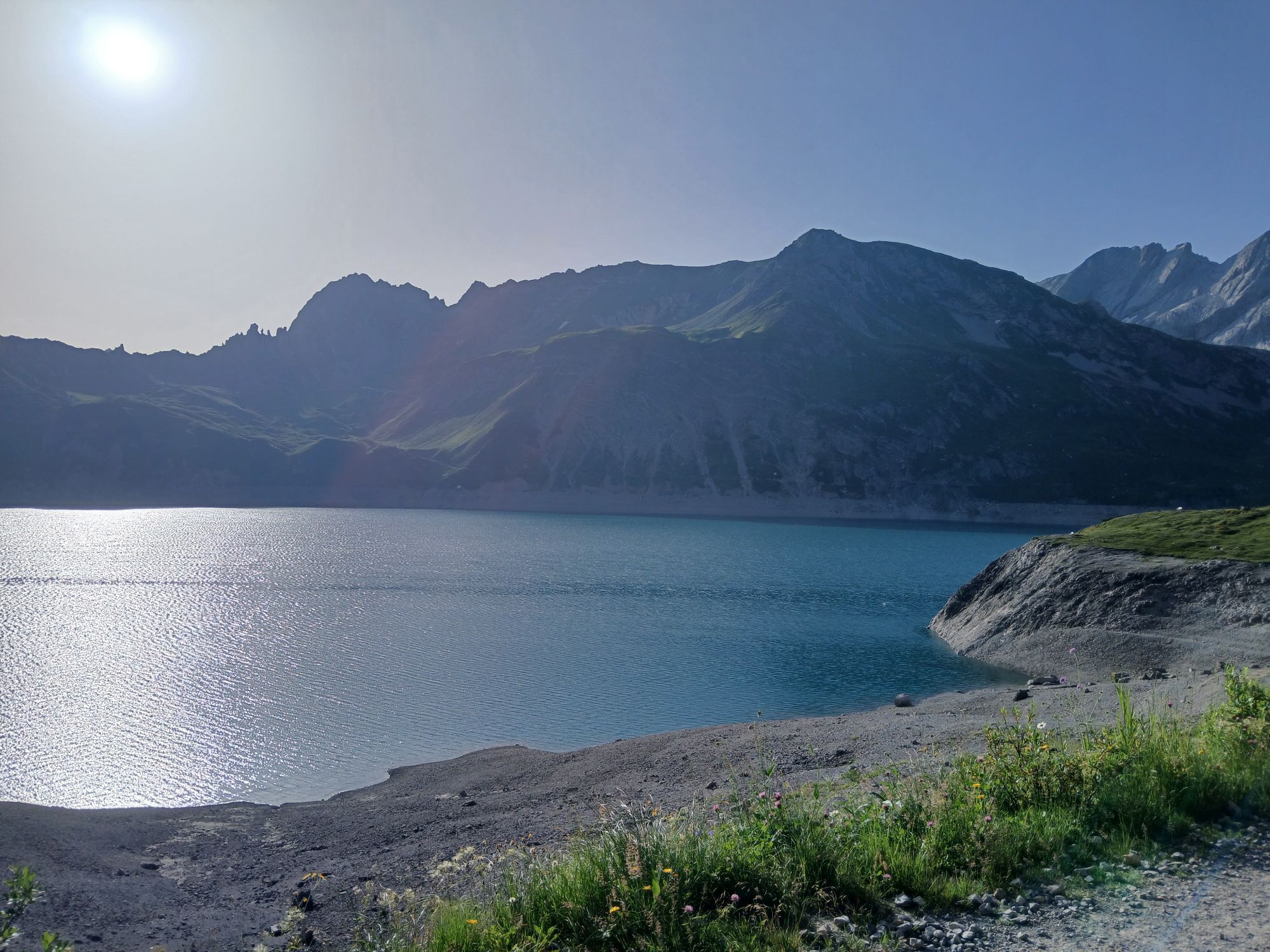
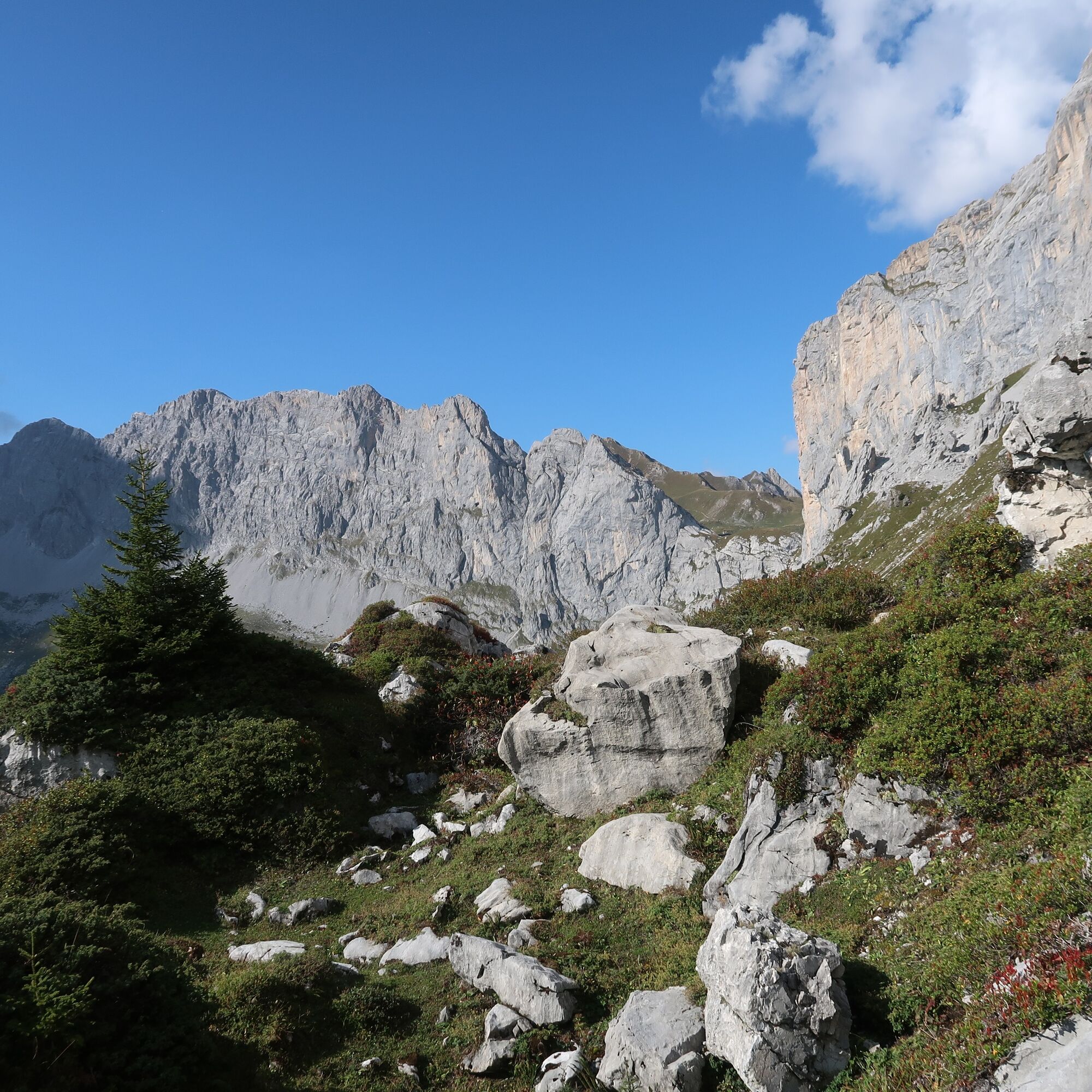
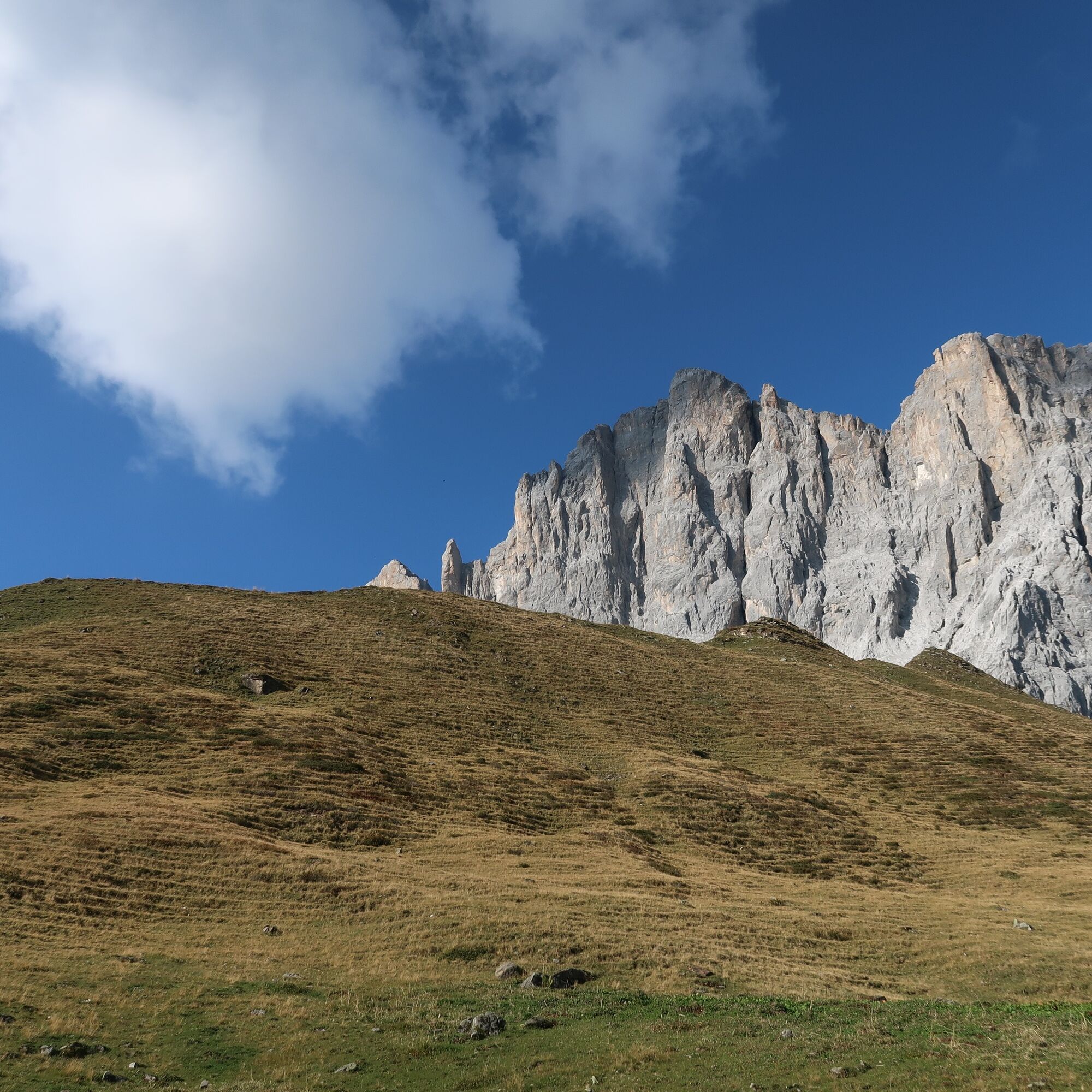
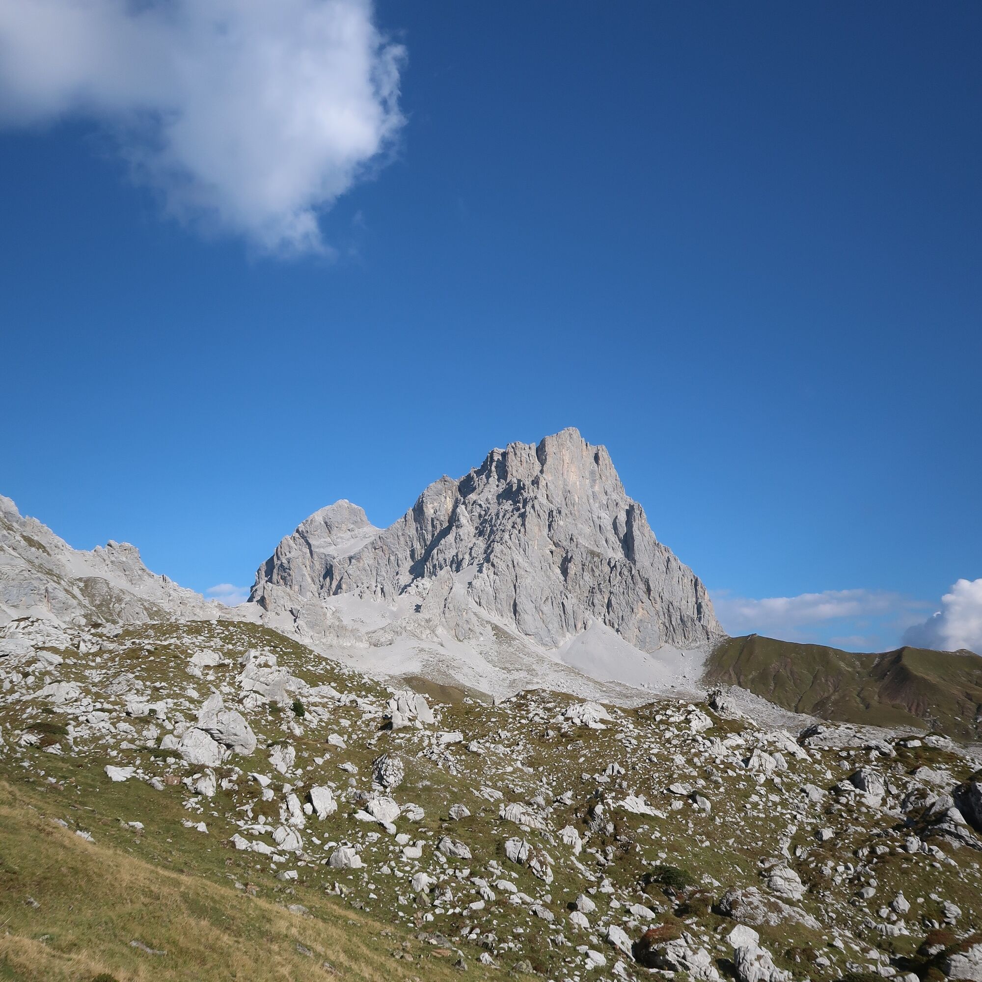
A route for mountain enthusiasts who appreciate the natural beauty of the mountains as well as refined, regional cuisine. The hiking trails lead through the varied Rätikon. The limestone rock of the Rätikon in contrast to the blooming alpine meadows on the steep walls of the impressive peaks Sulzfluh, Drei Türme and Drusenfluh shape the character of this hut hike. Passing the Lünersee you can experience hydropower up close and with an overnight stay in Switzerland you get to know the Prätigau.
Important: For this challenging route you should plan your personal daily stages and reserve the overnight stays at the huts in advance!

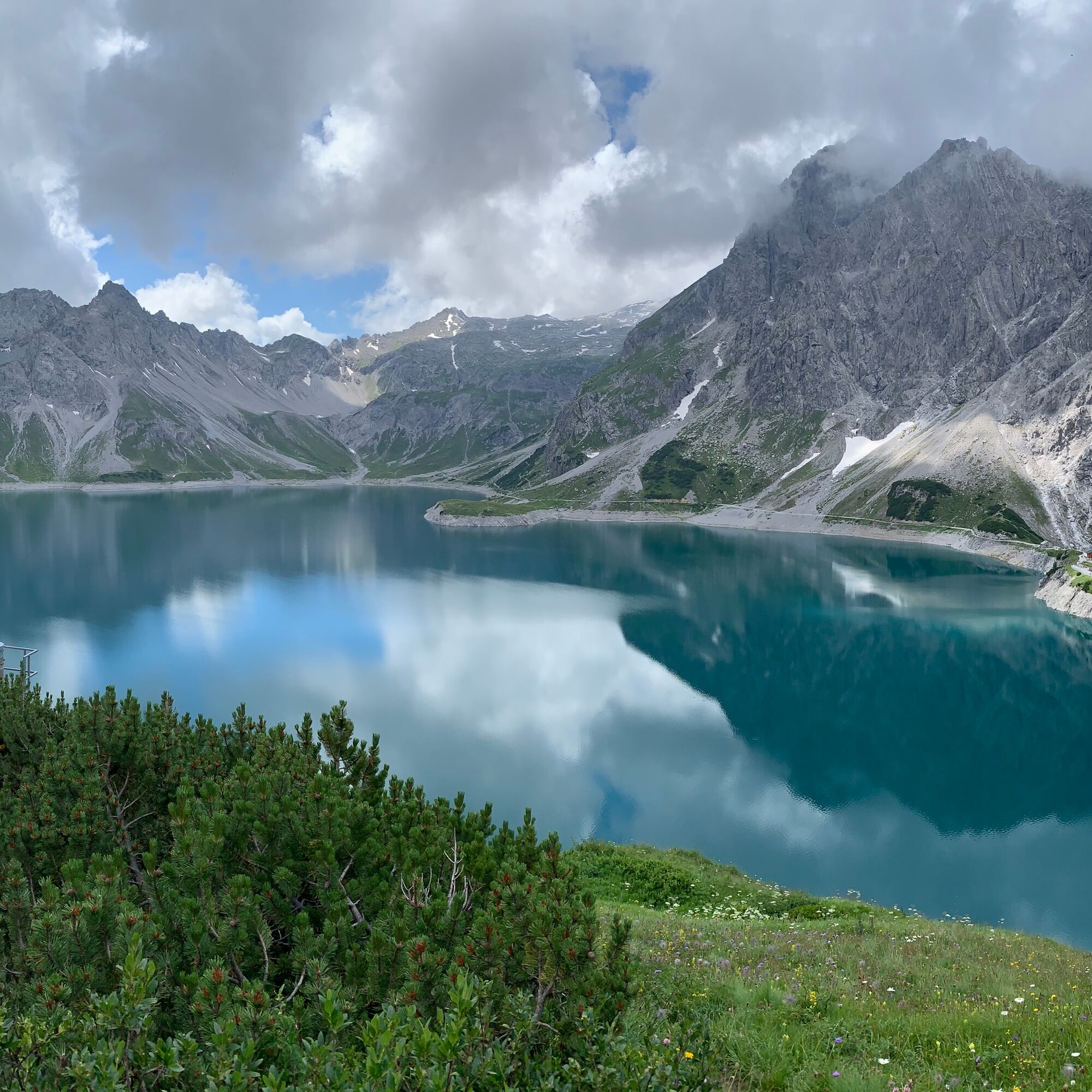
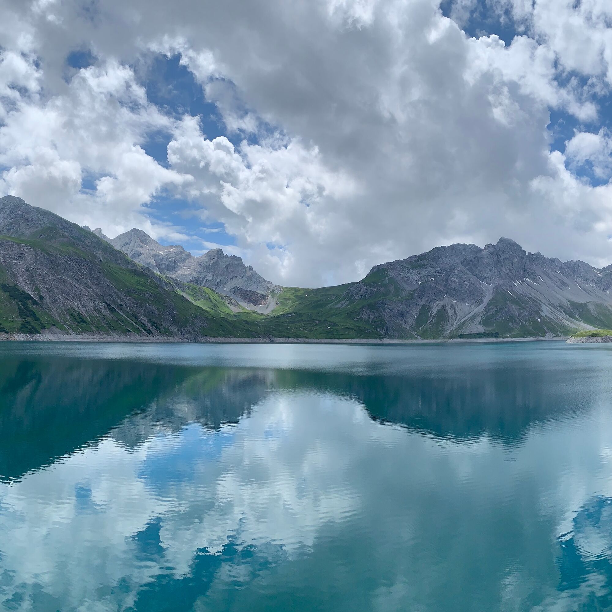

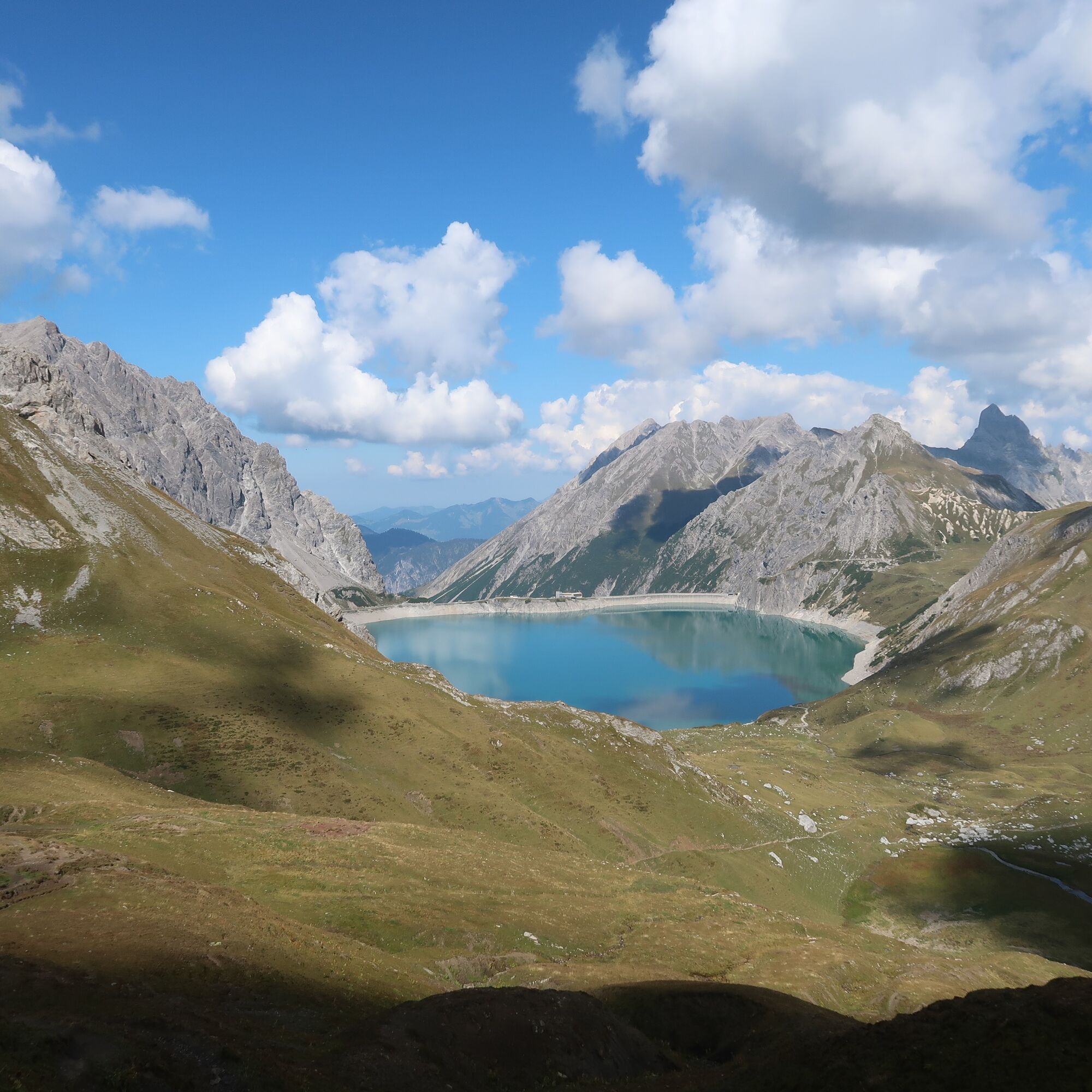
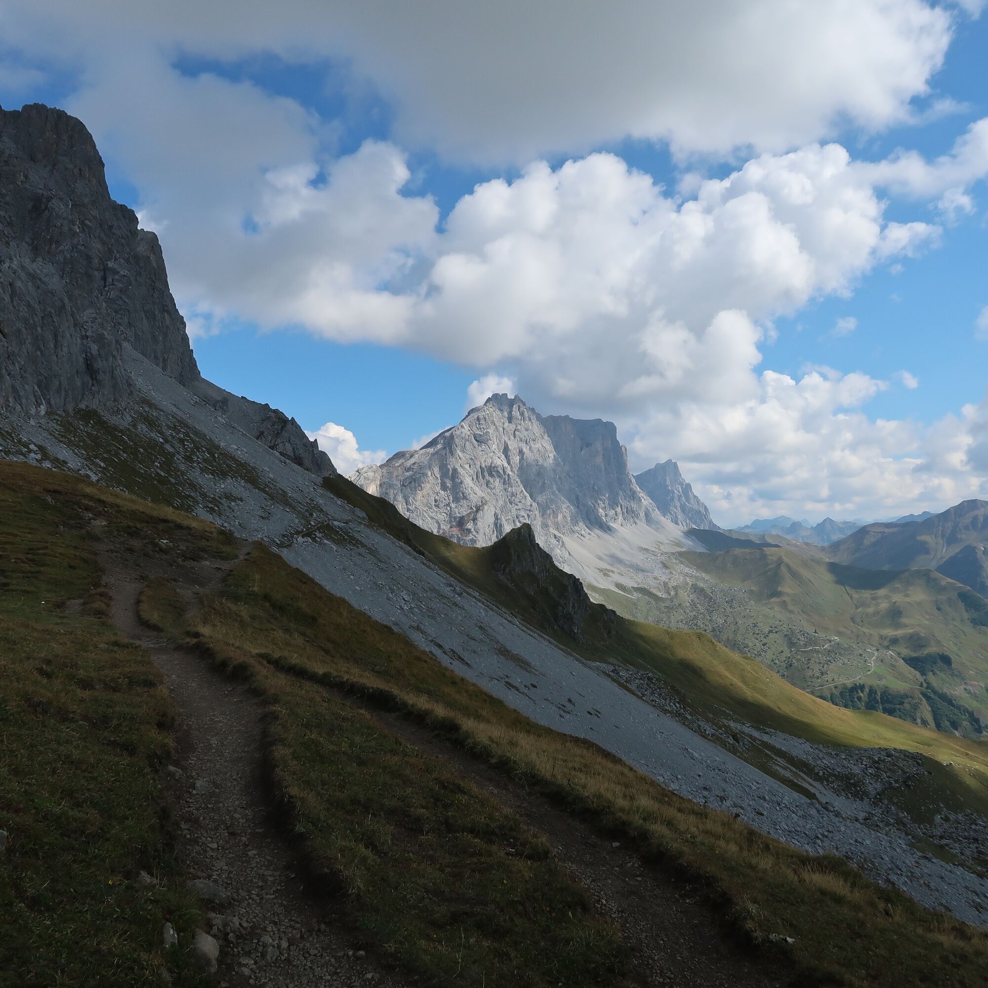
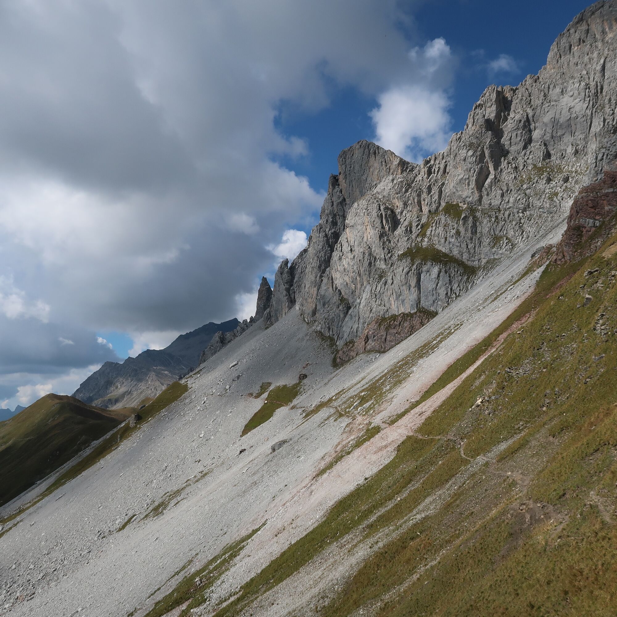
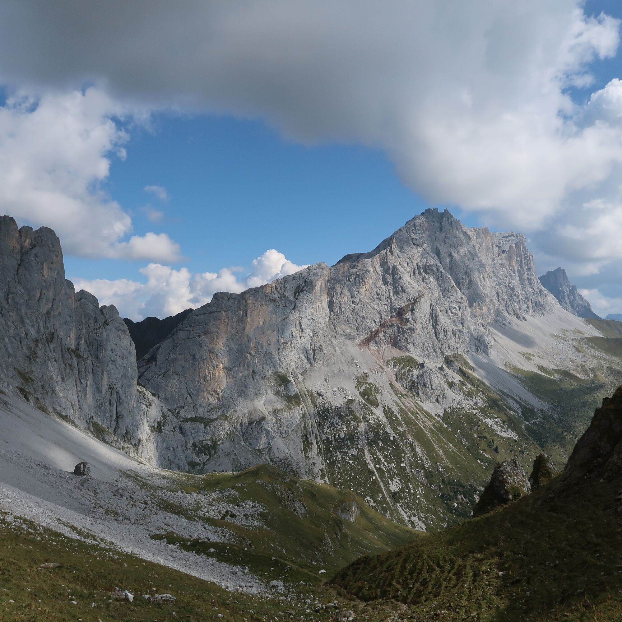
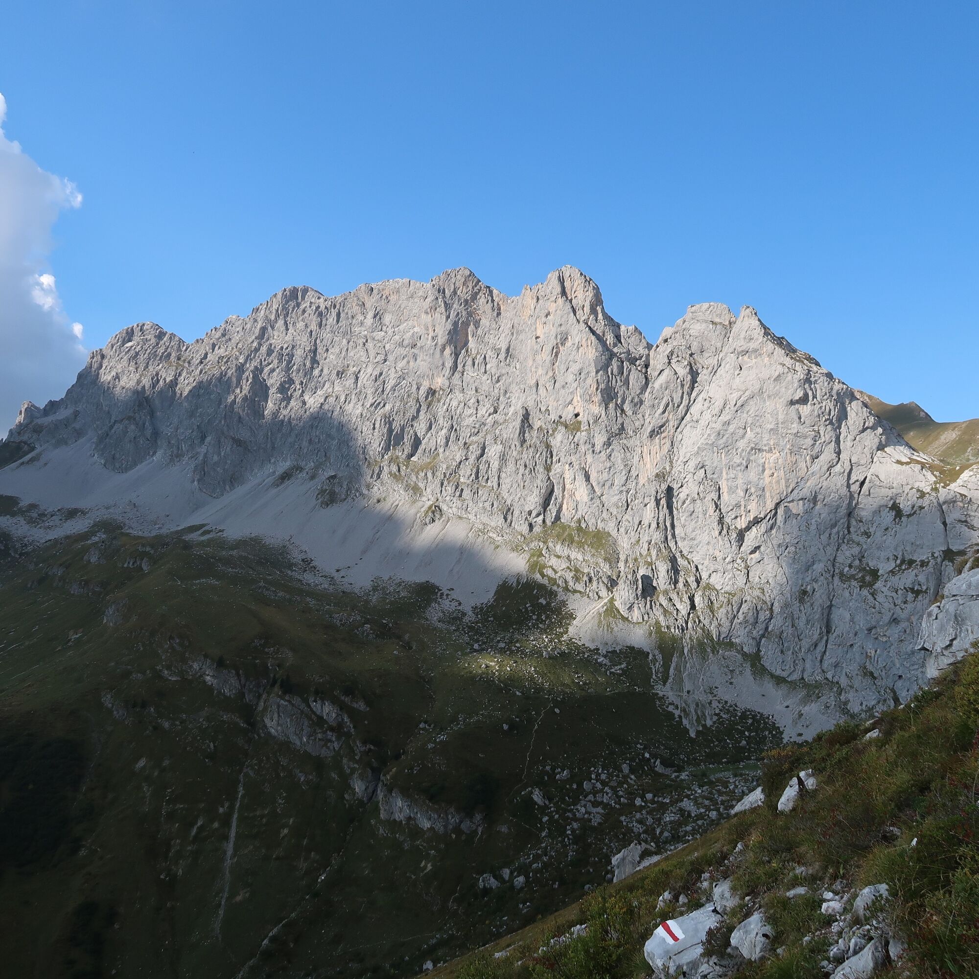


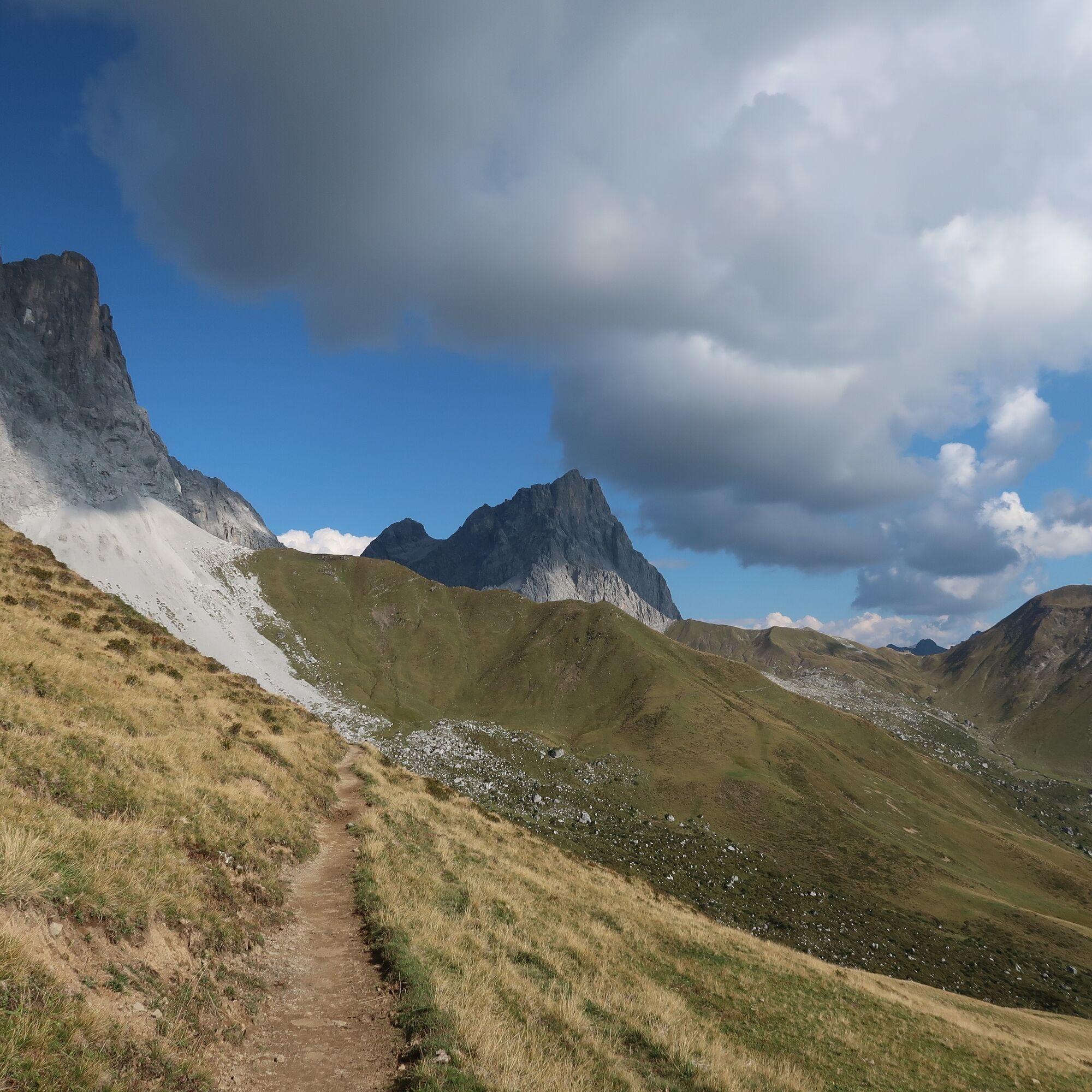

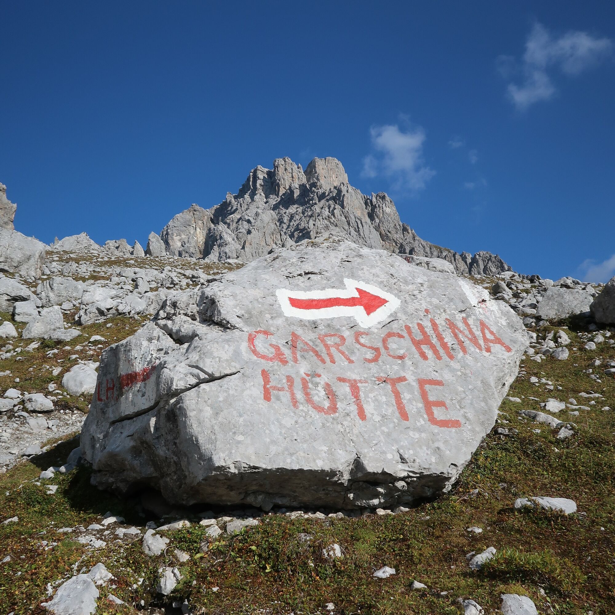

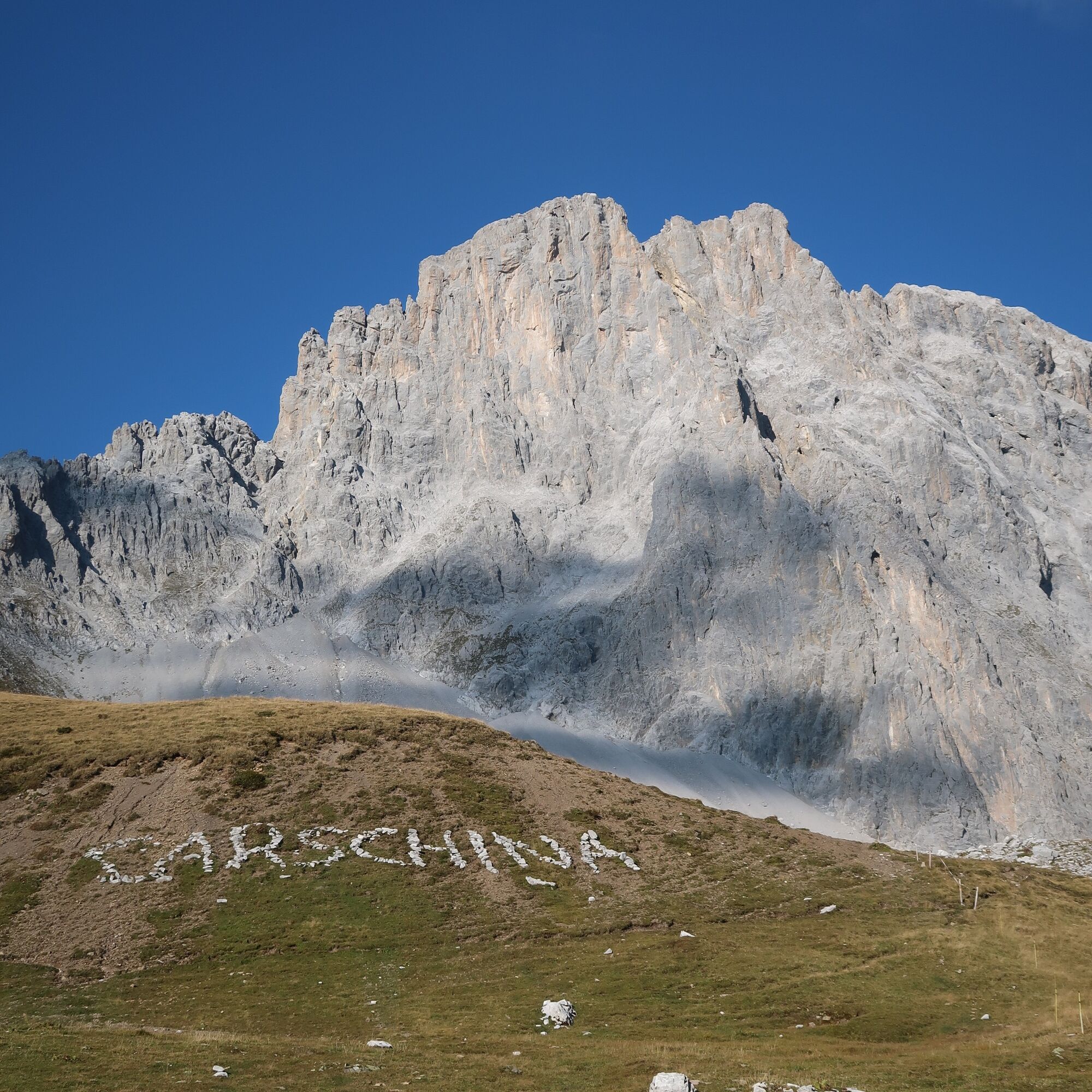
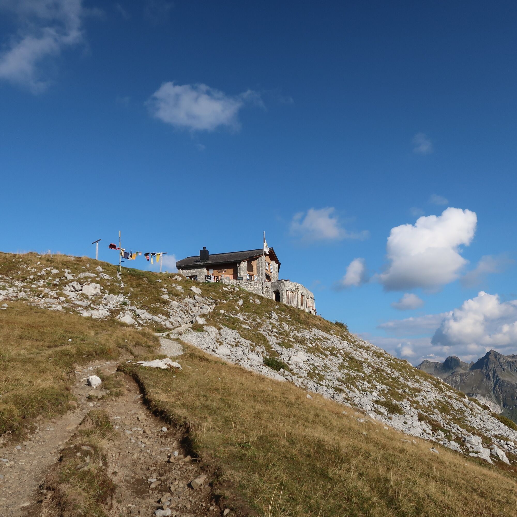
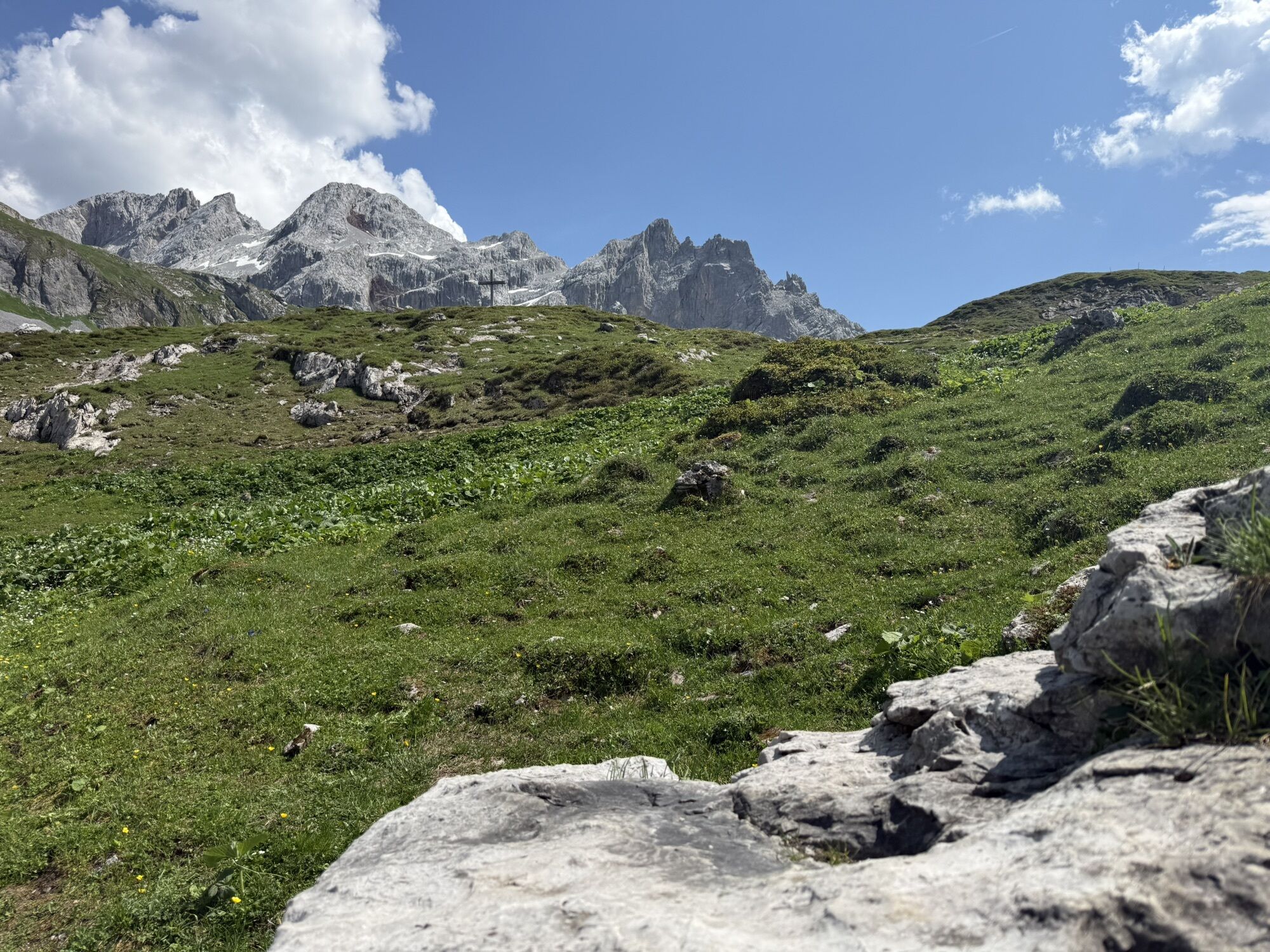
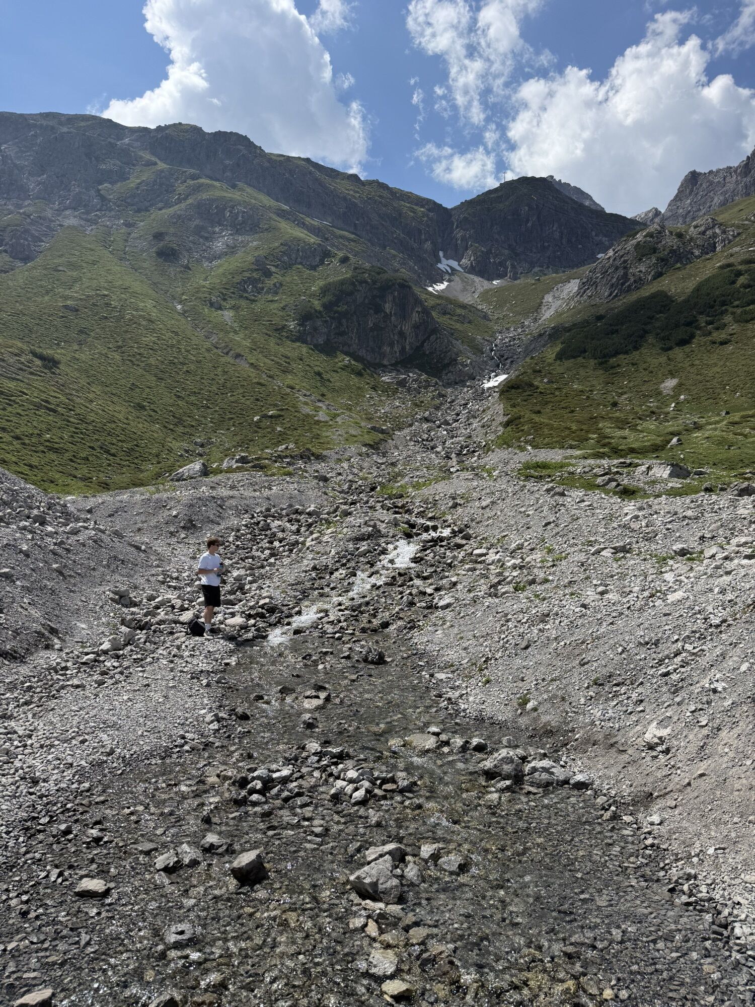
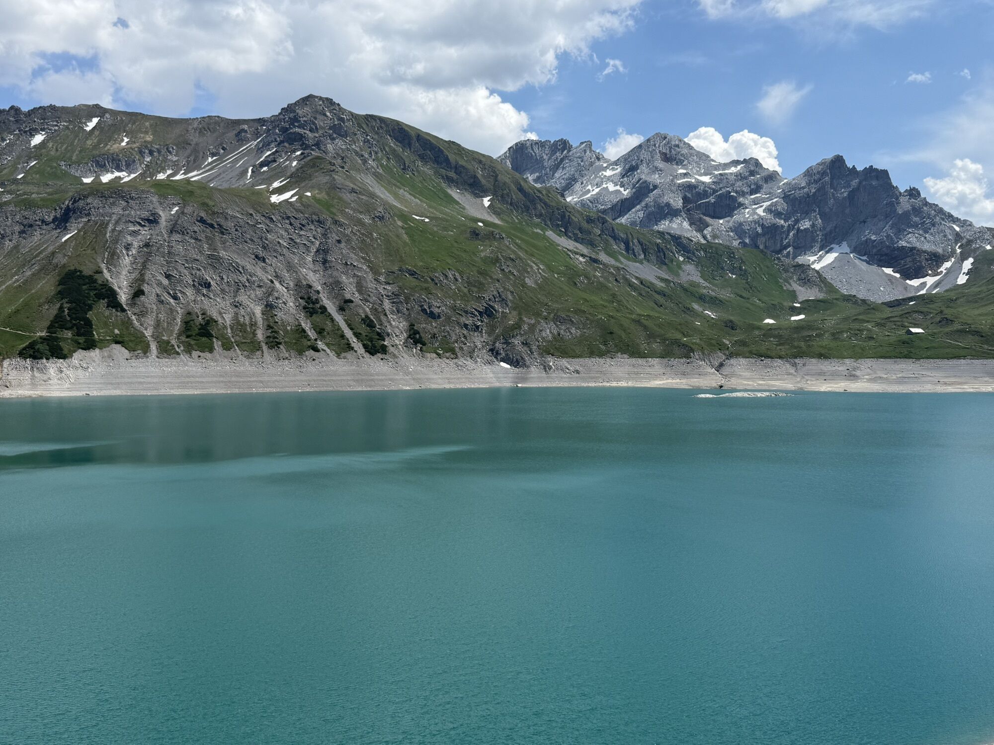
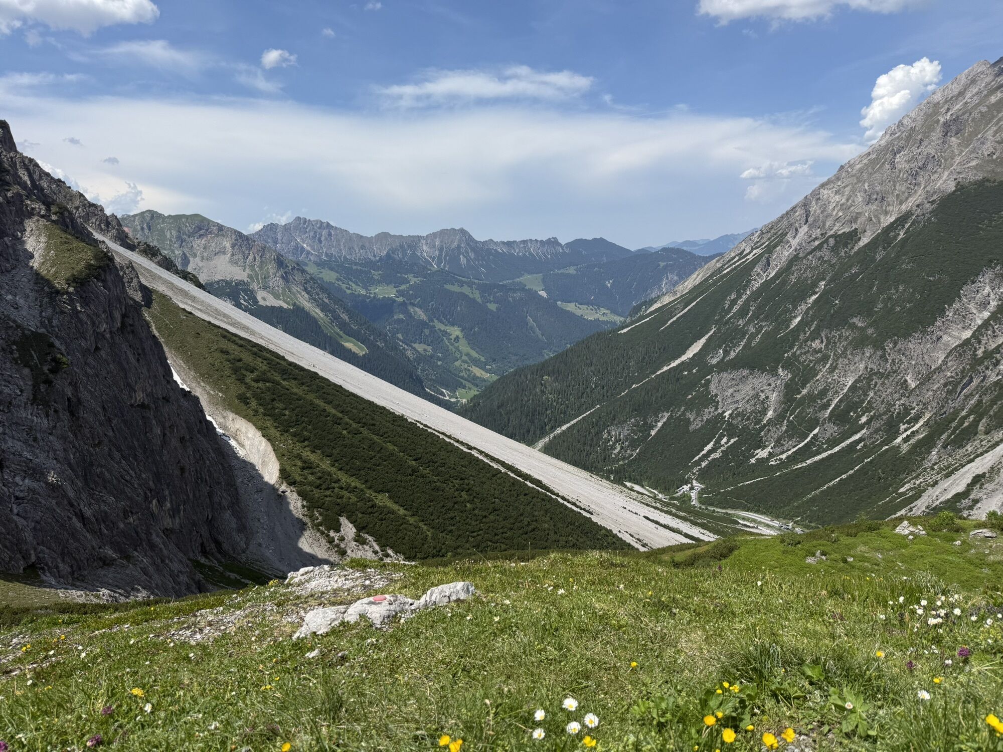
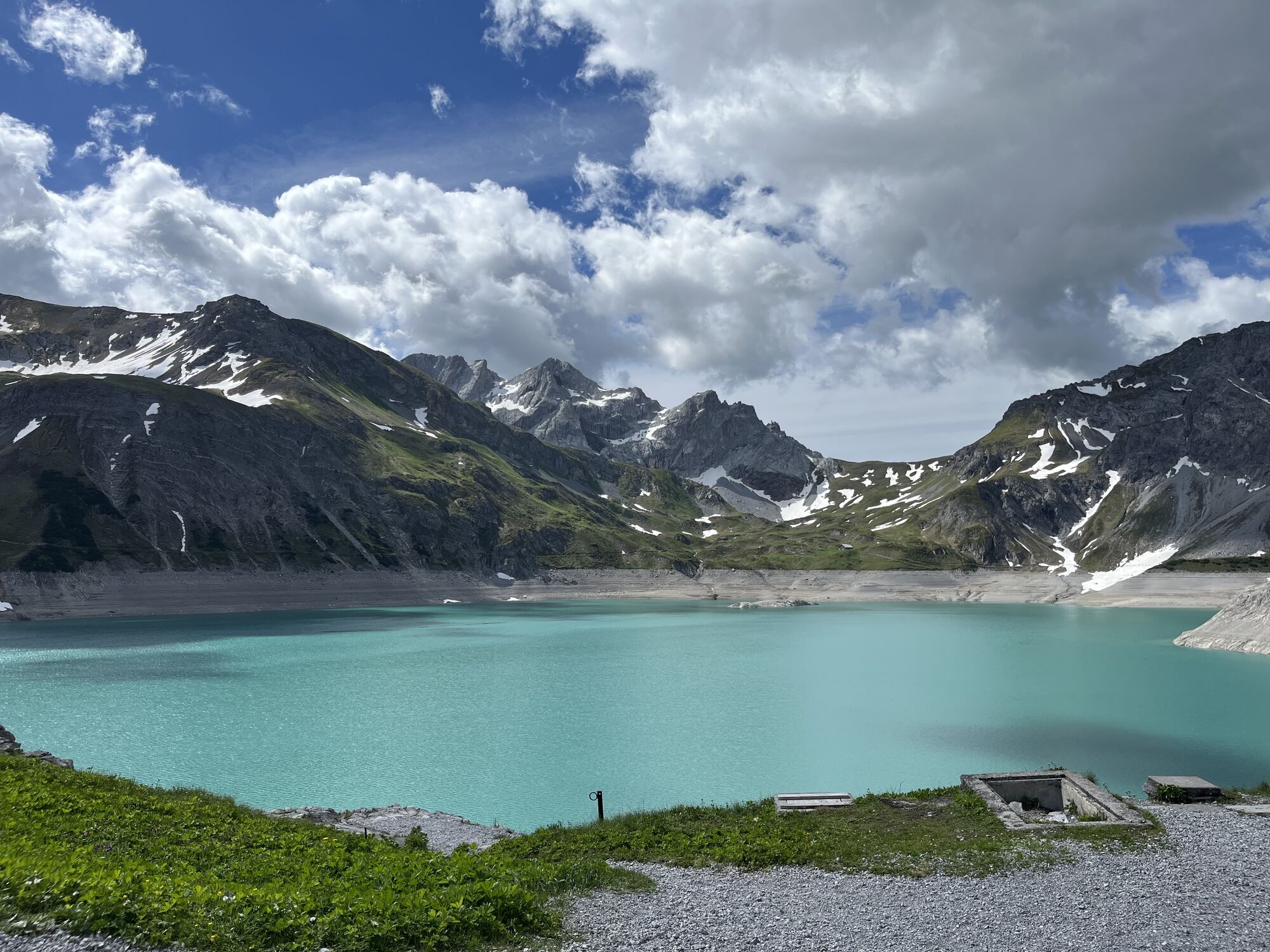
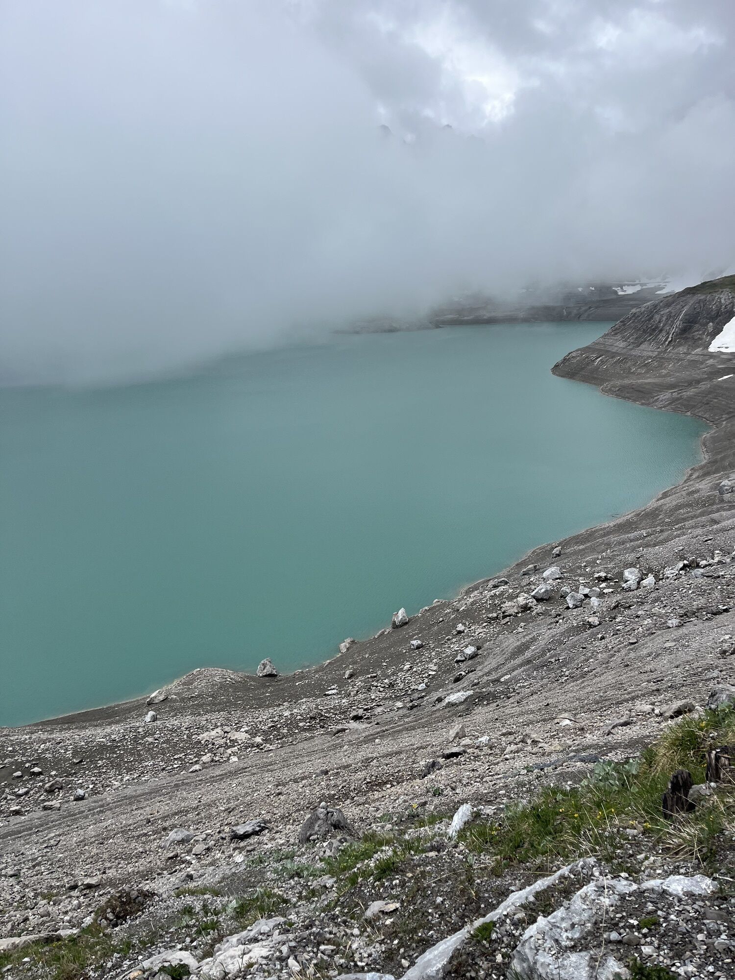
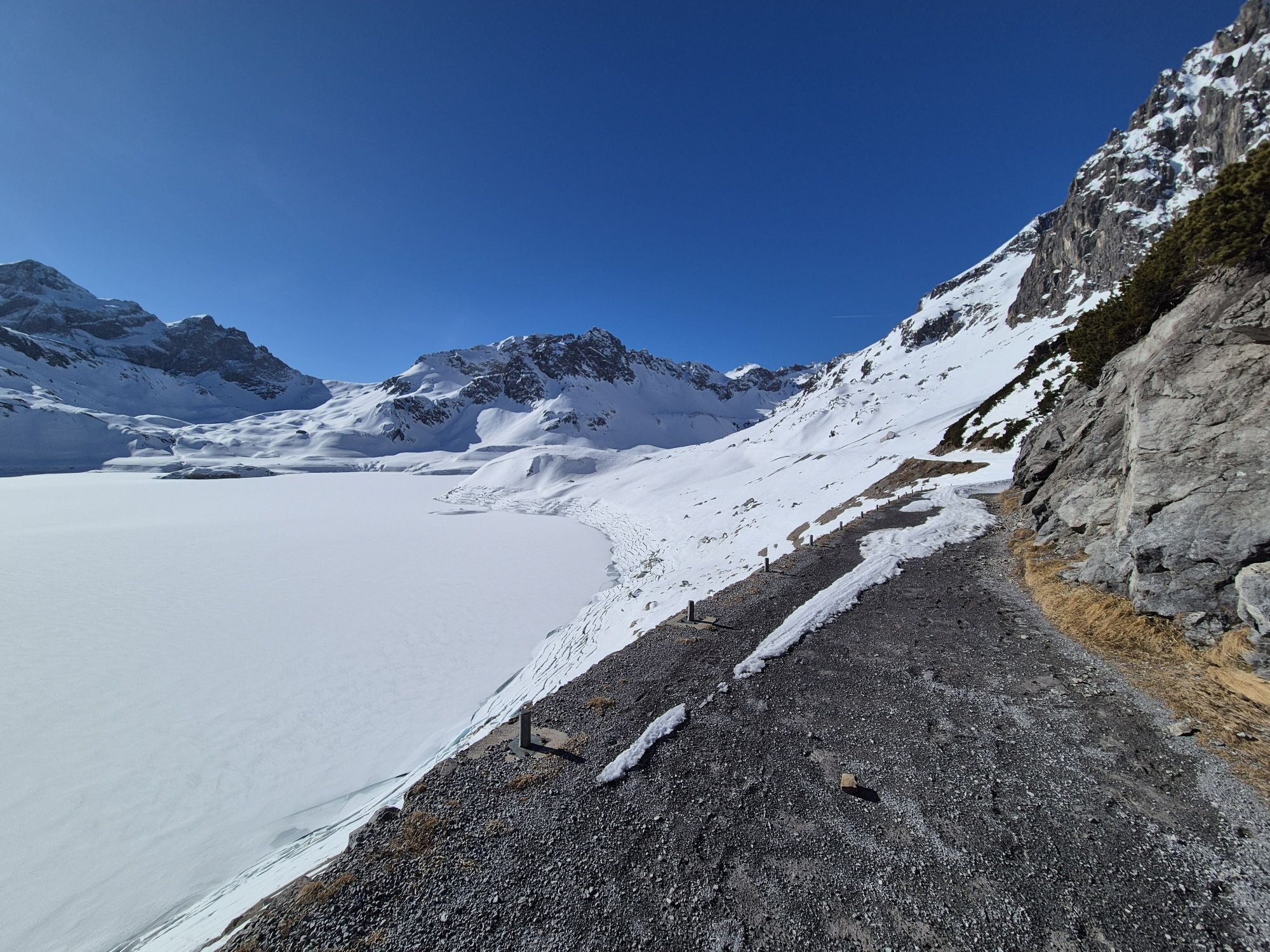
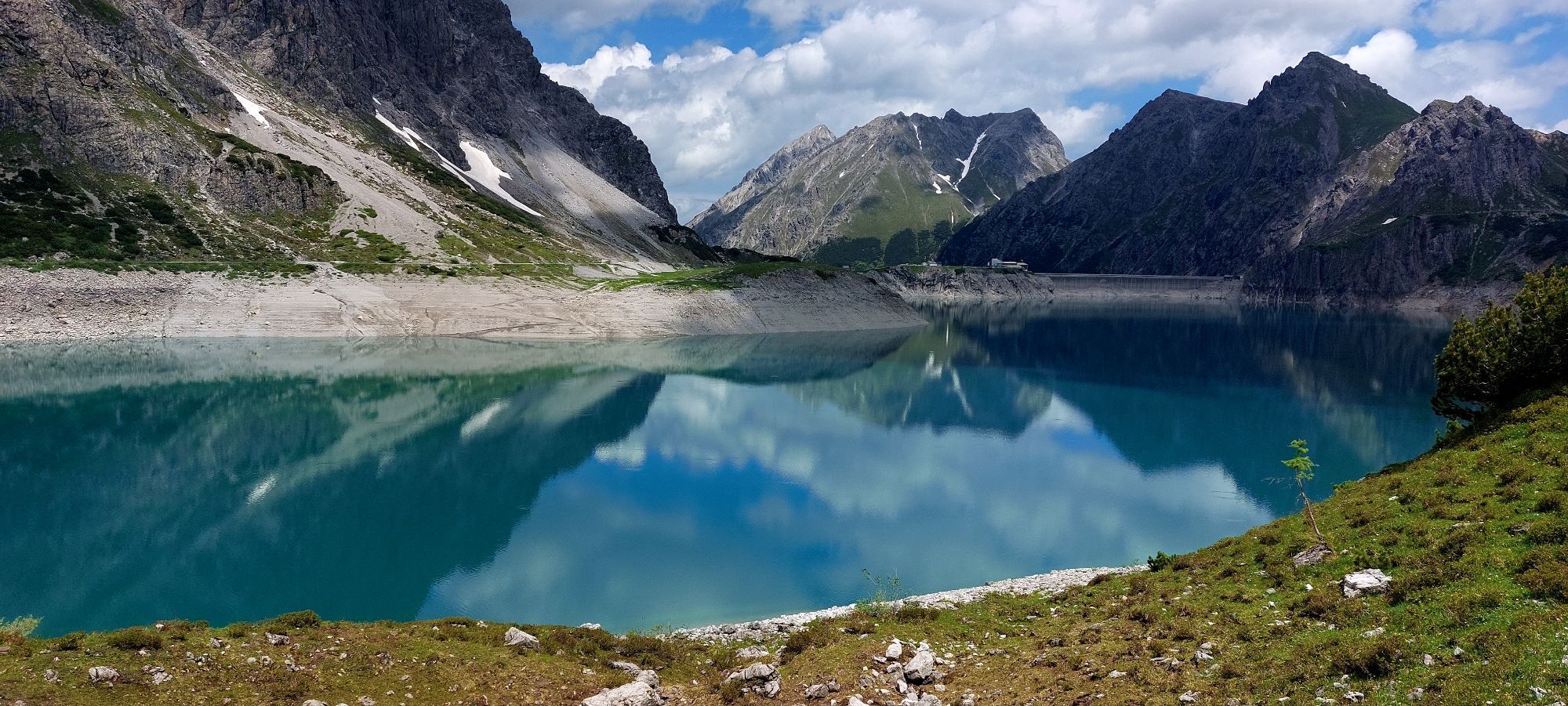
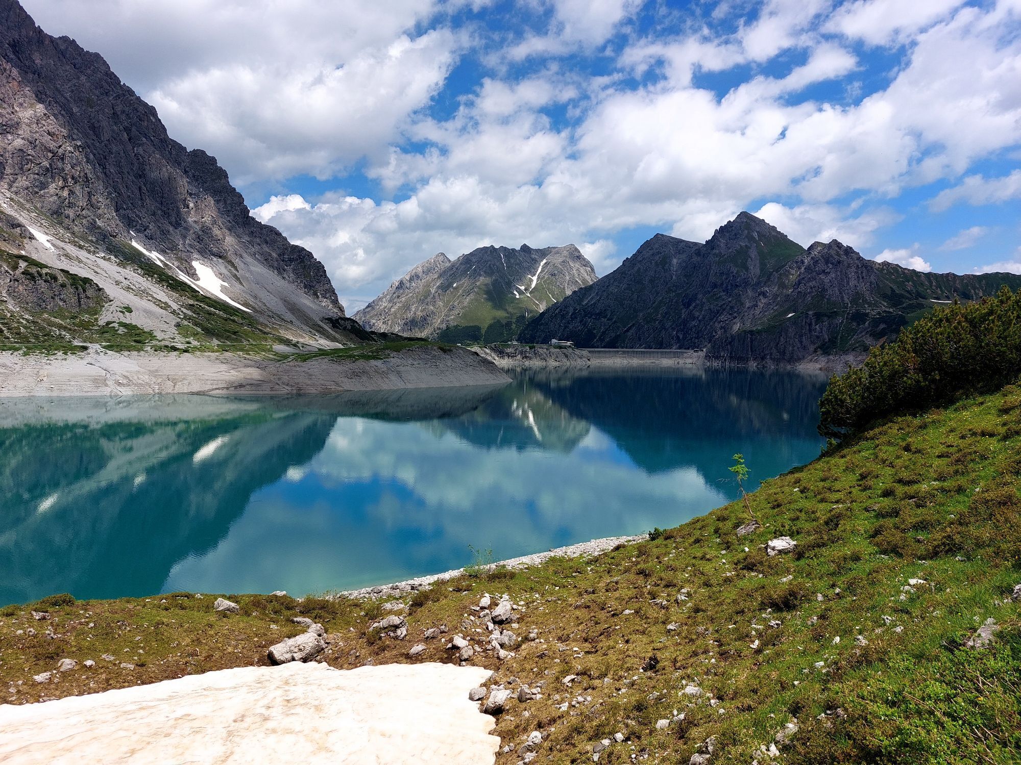
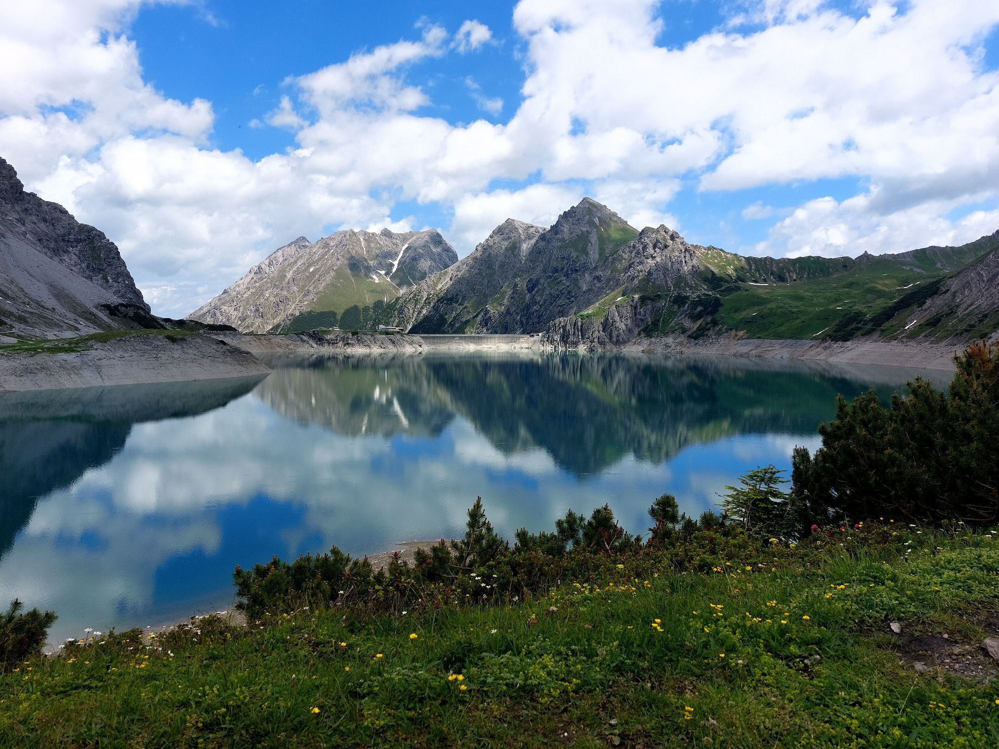
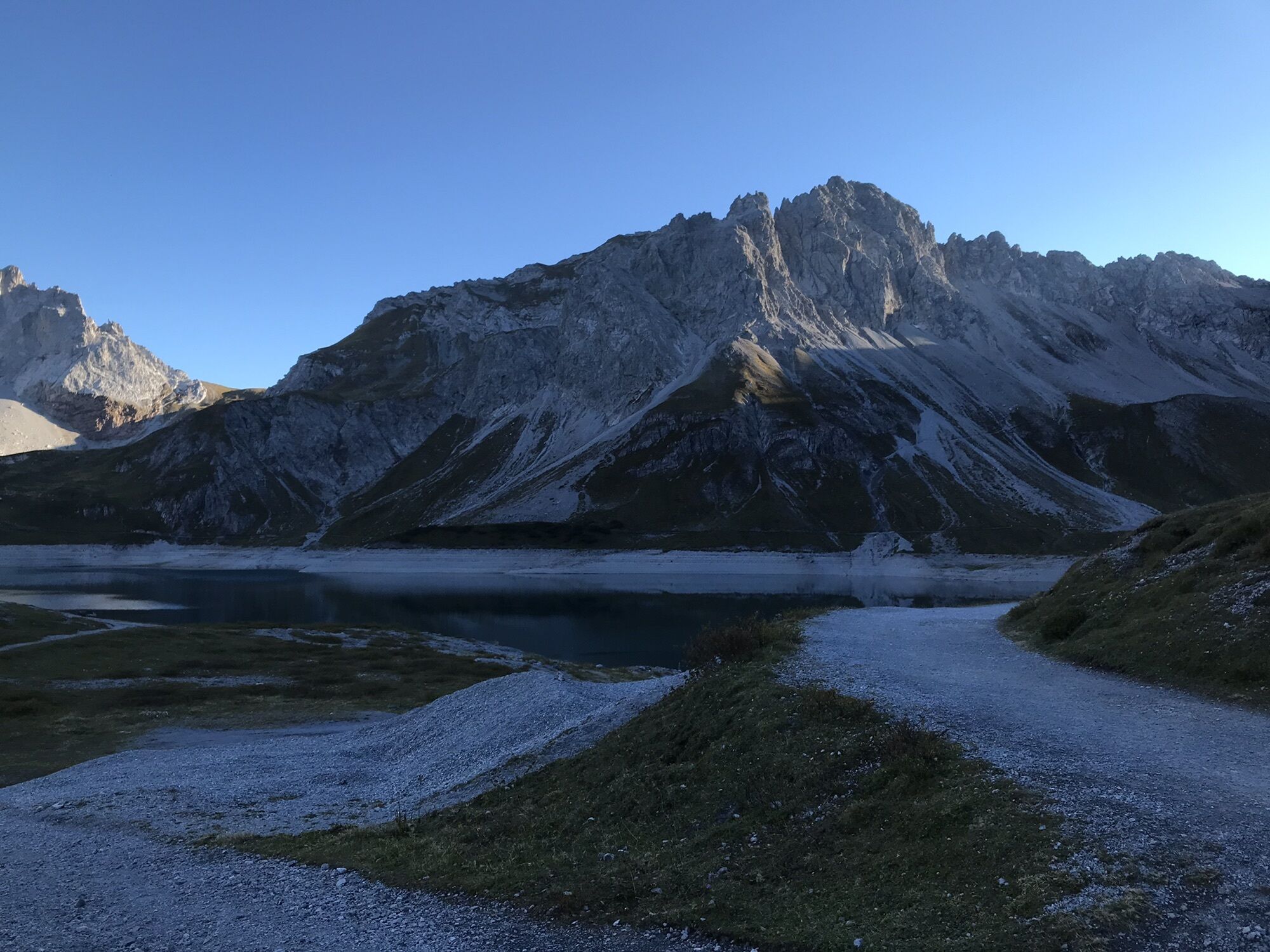
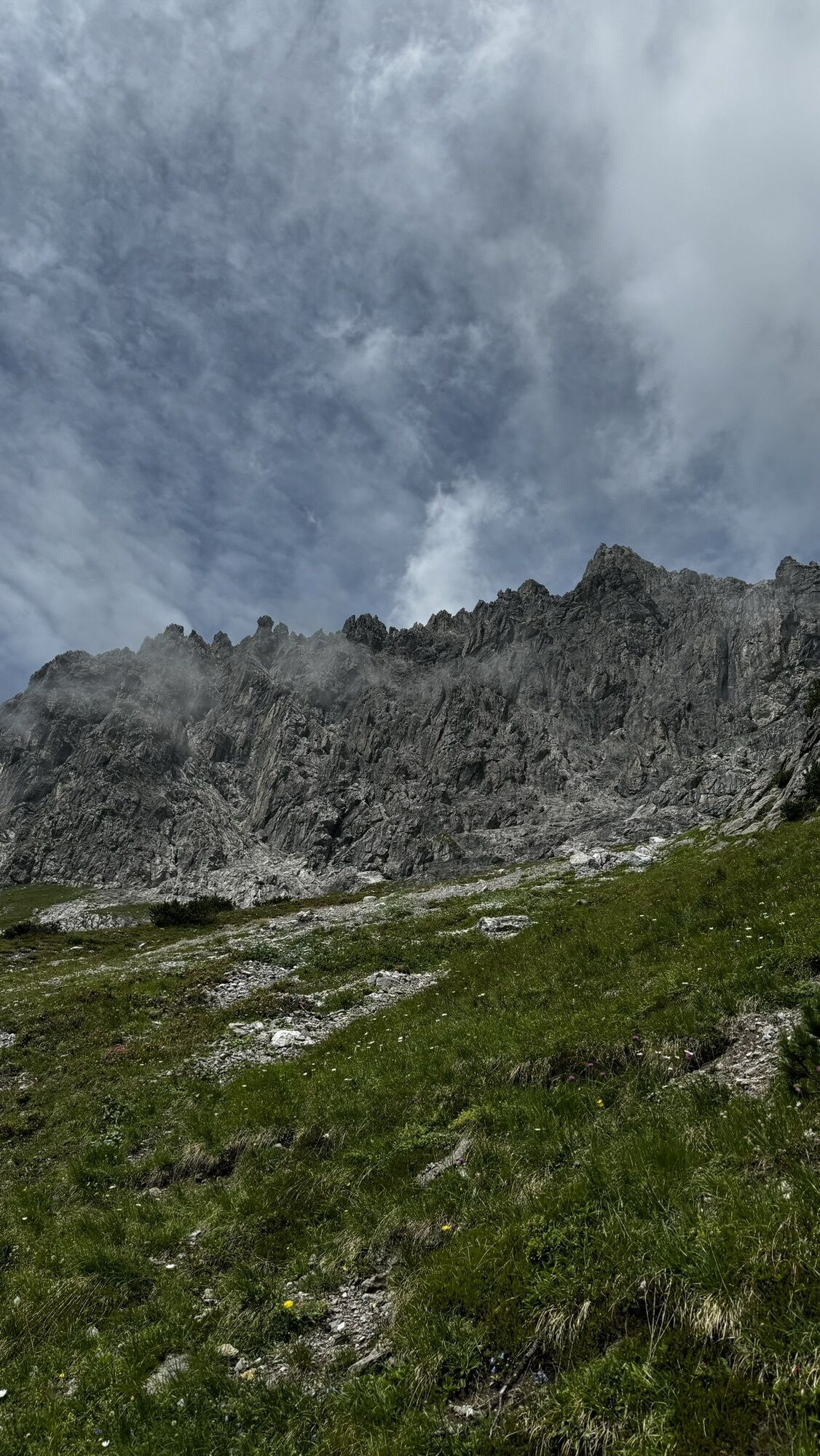
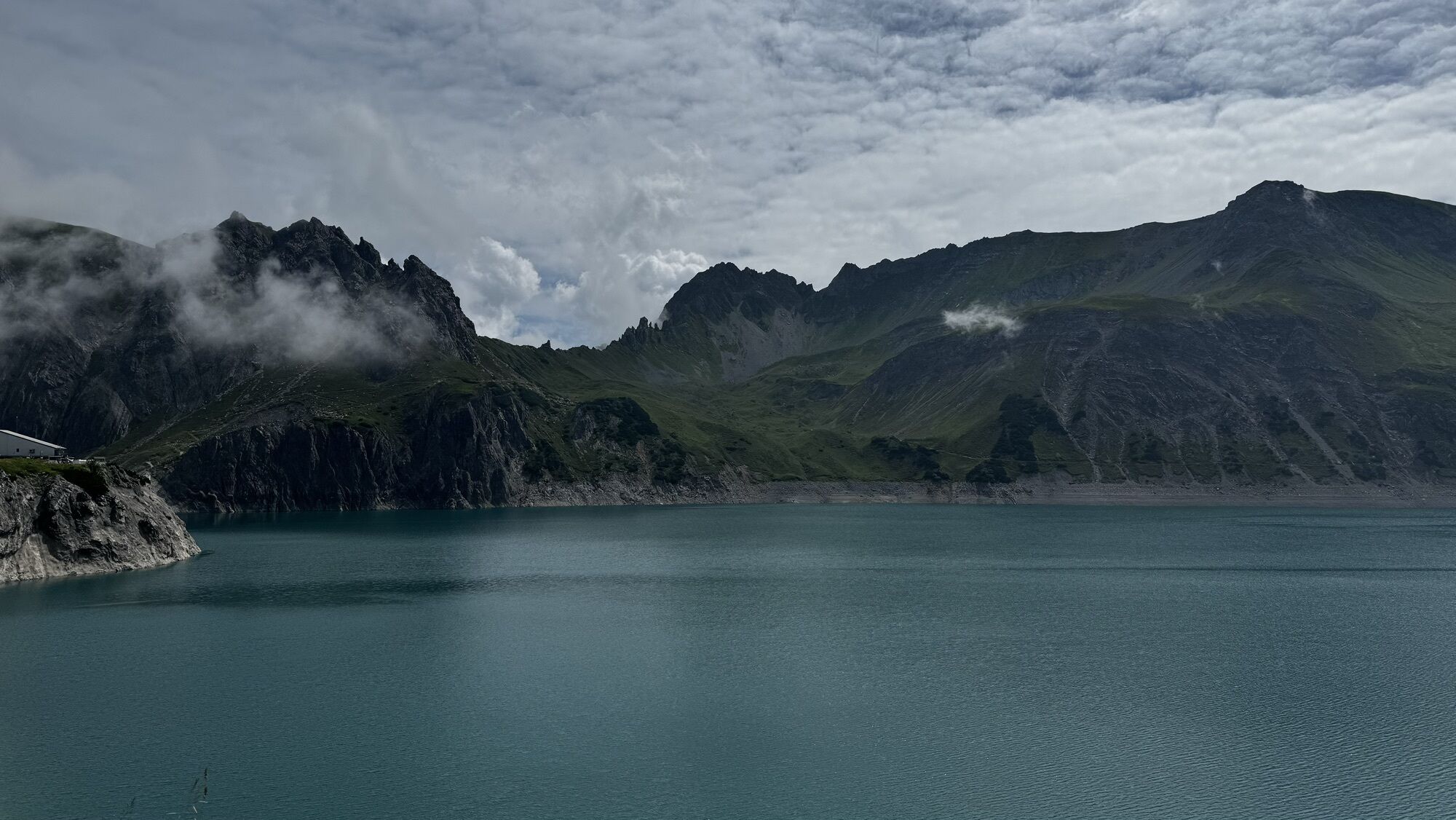
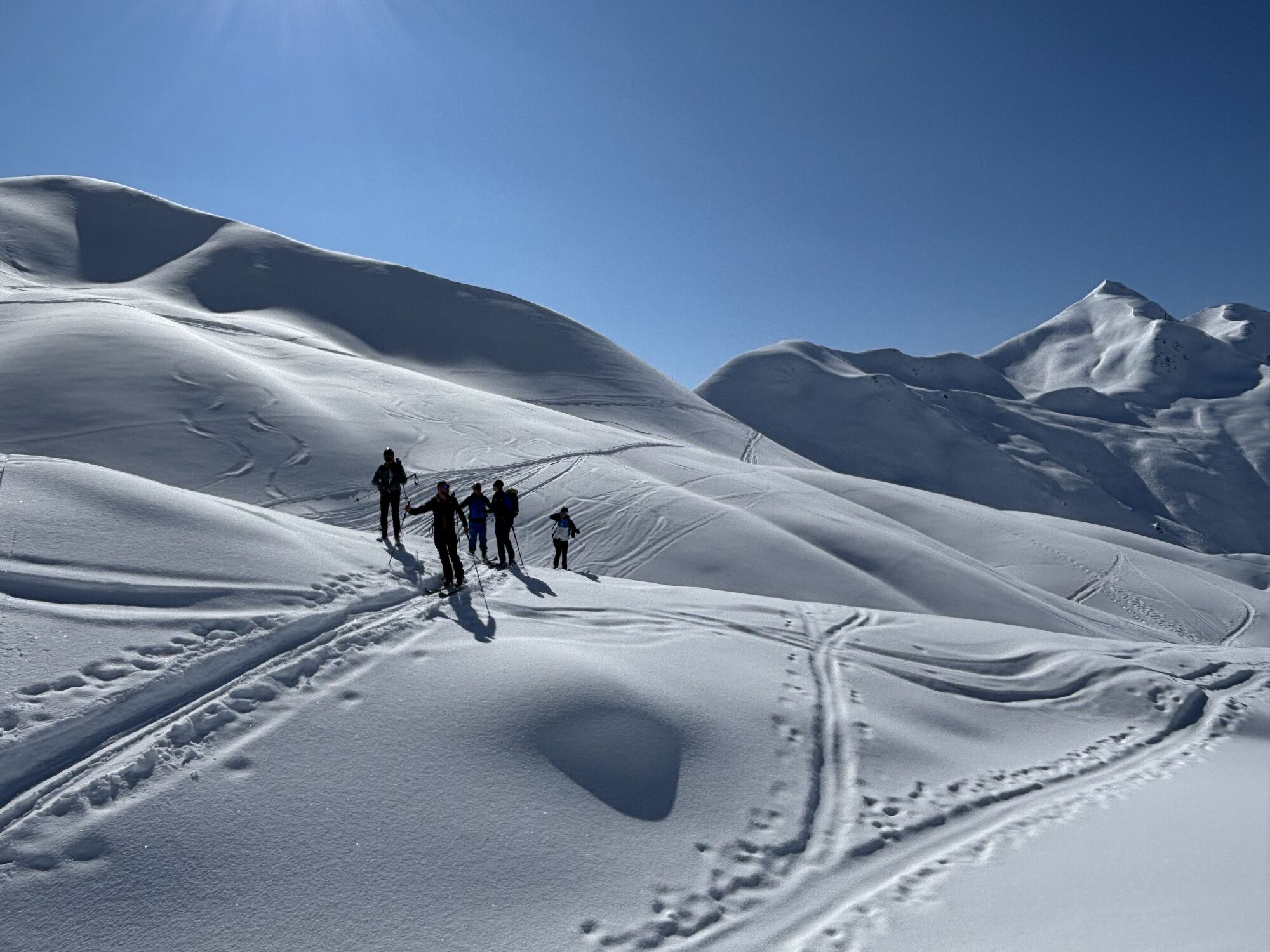
The stage starts at the dam and you circle the remaining part of the Lünersee. Passing the Alpe Lünersee again, the path leads you up to the Gafalljoch (2,239 m). Welcome to Switzerland. In the far distance, you can already see the Carschinahütte from here.
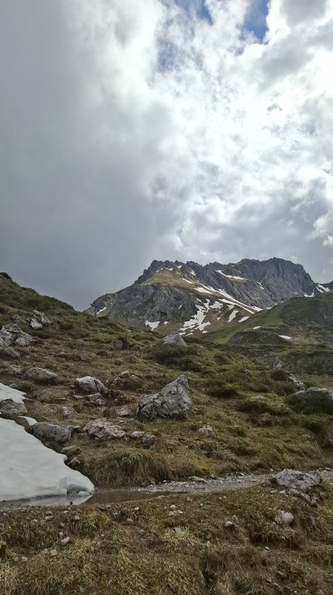
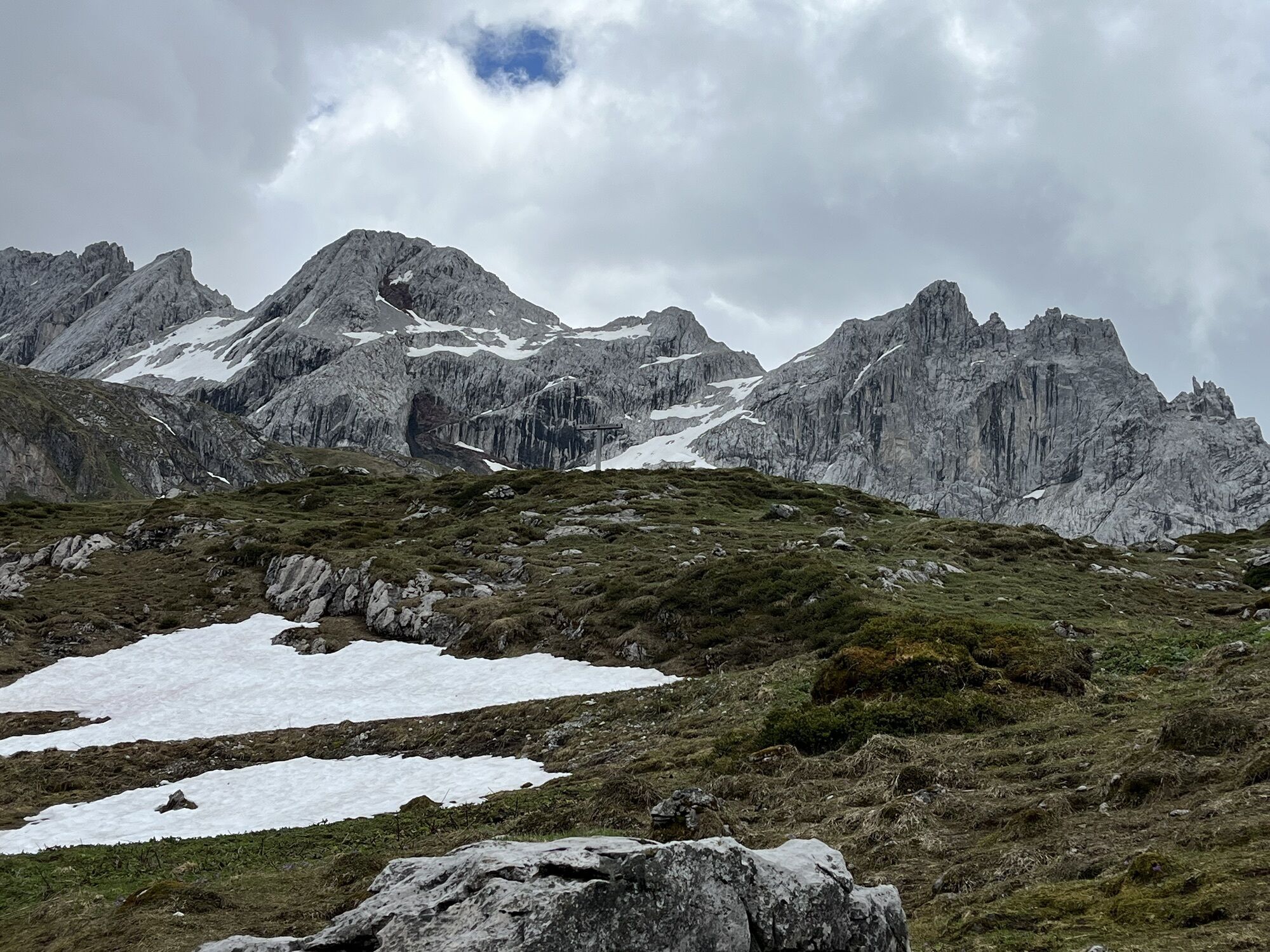
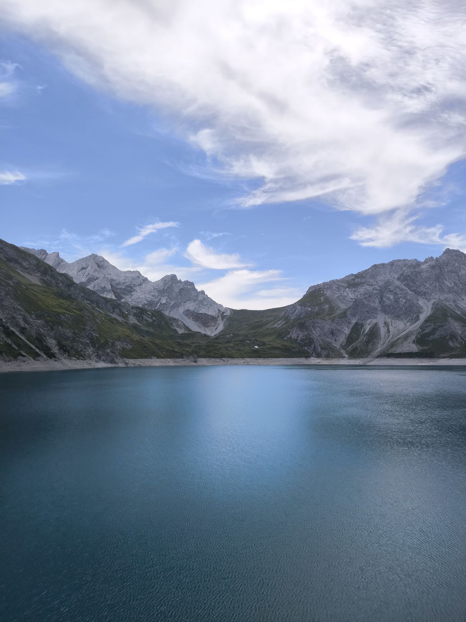
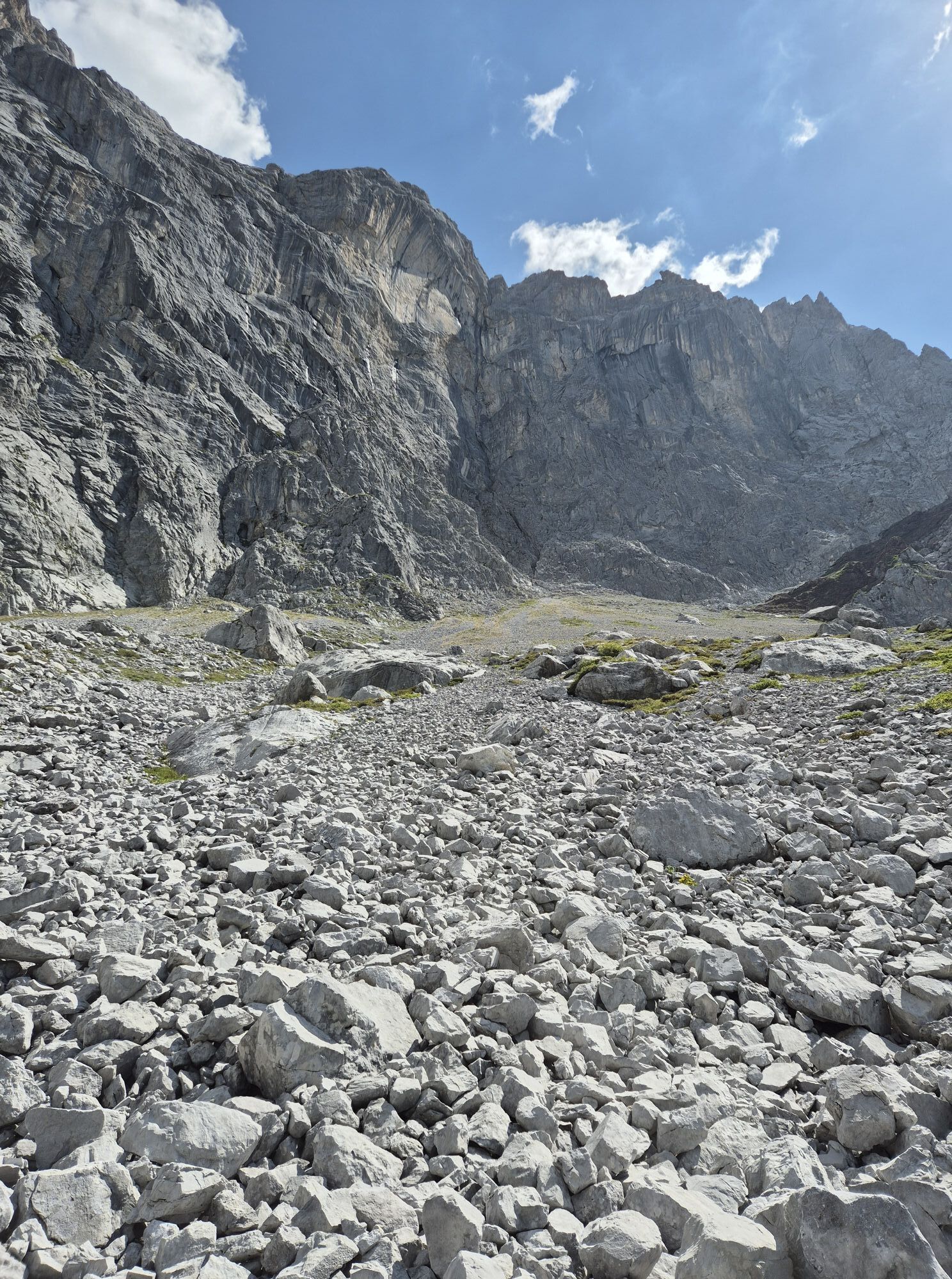
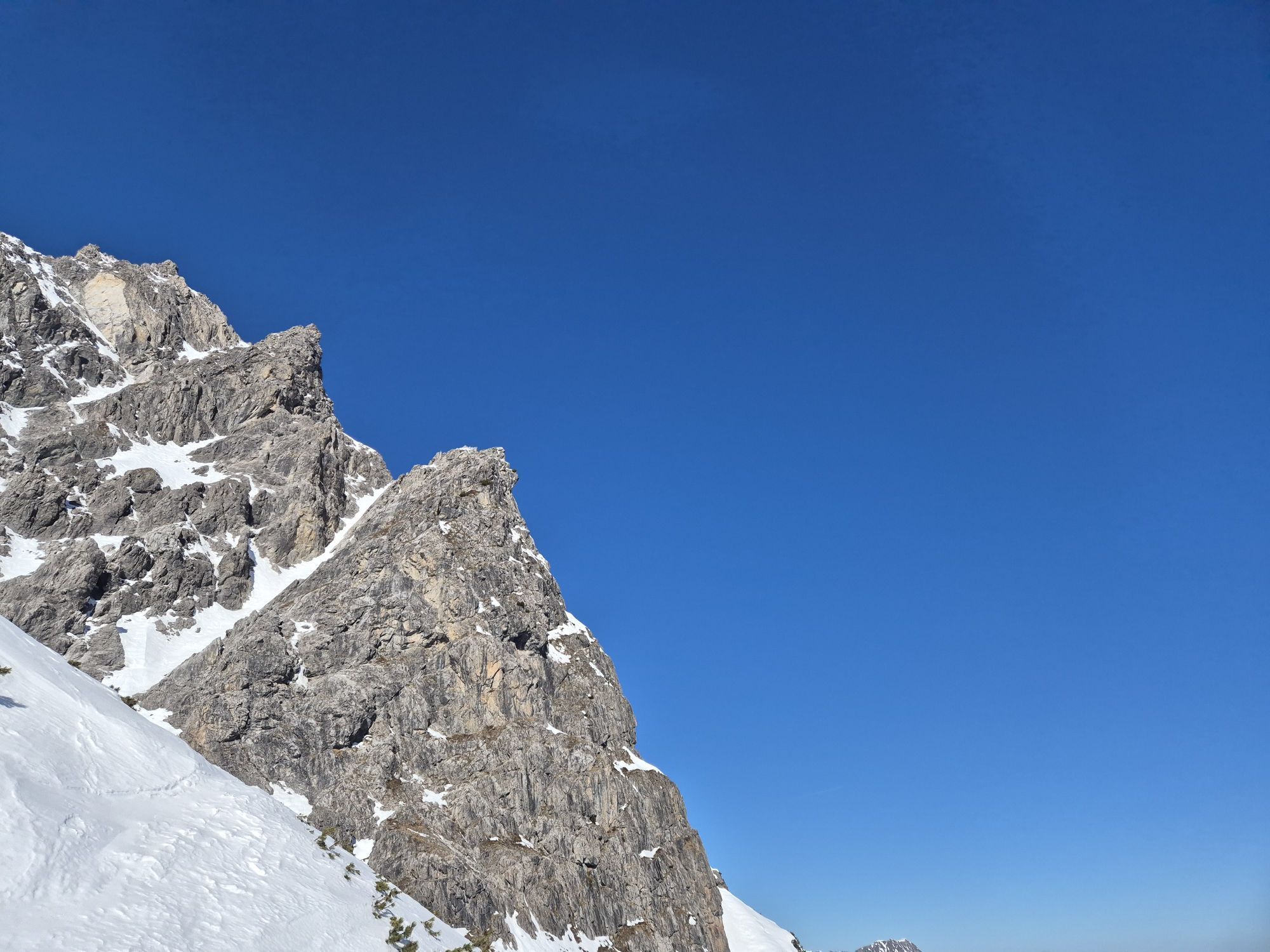
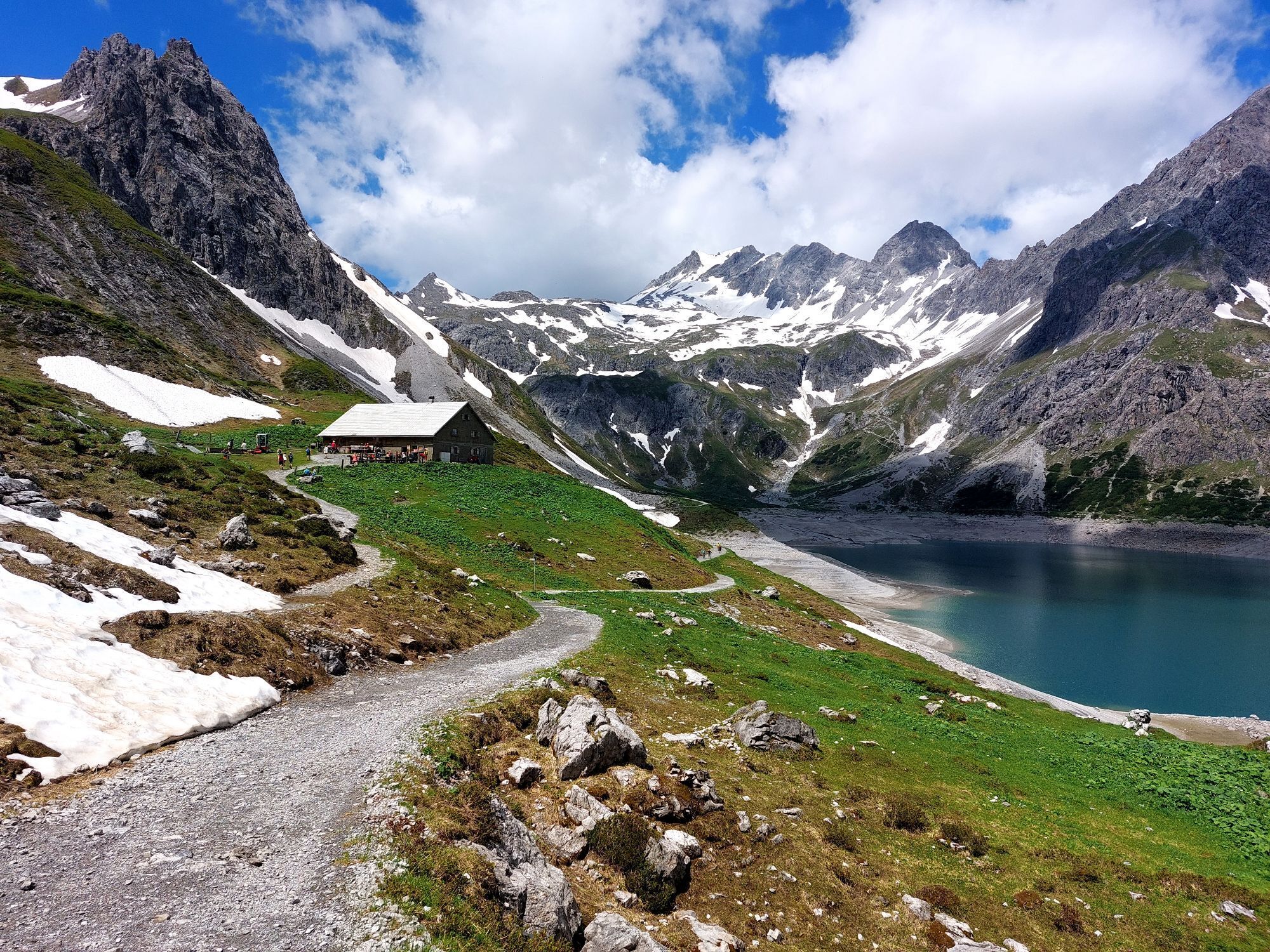
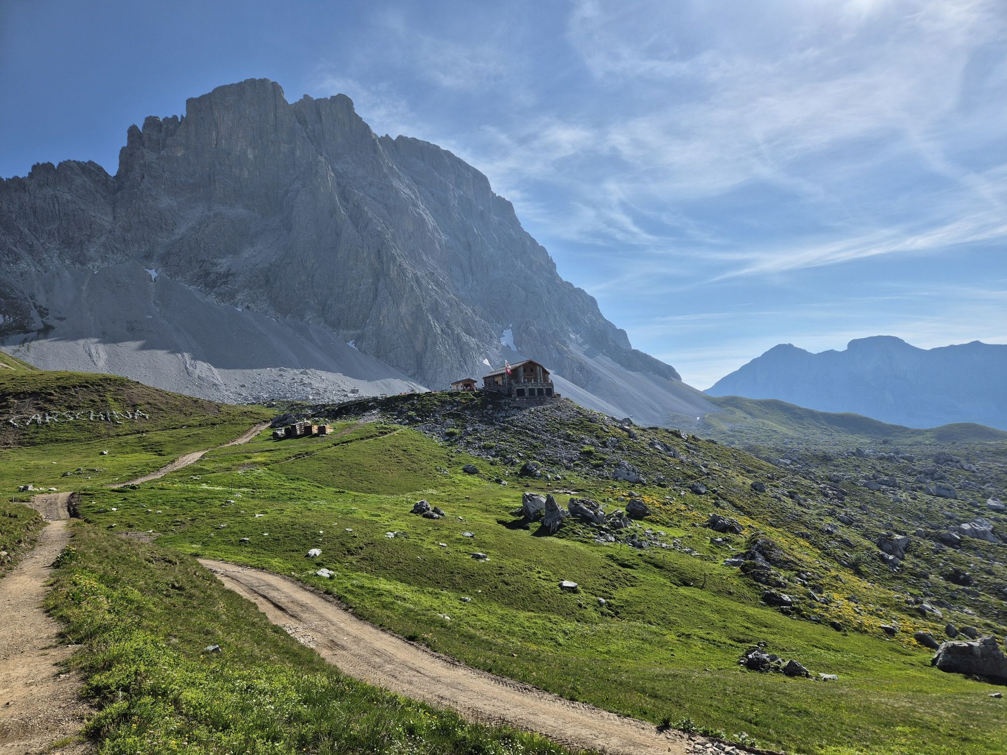
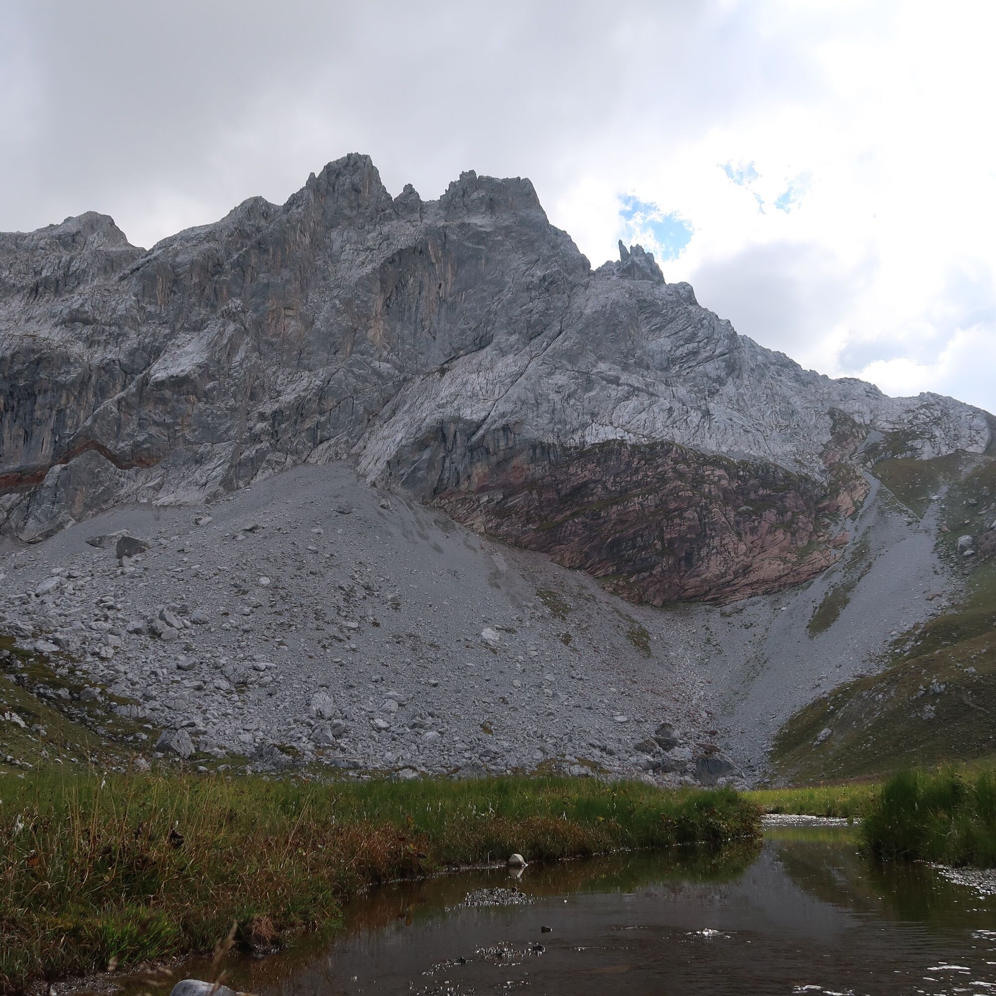
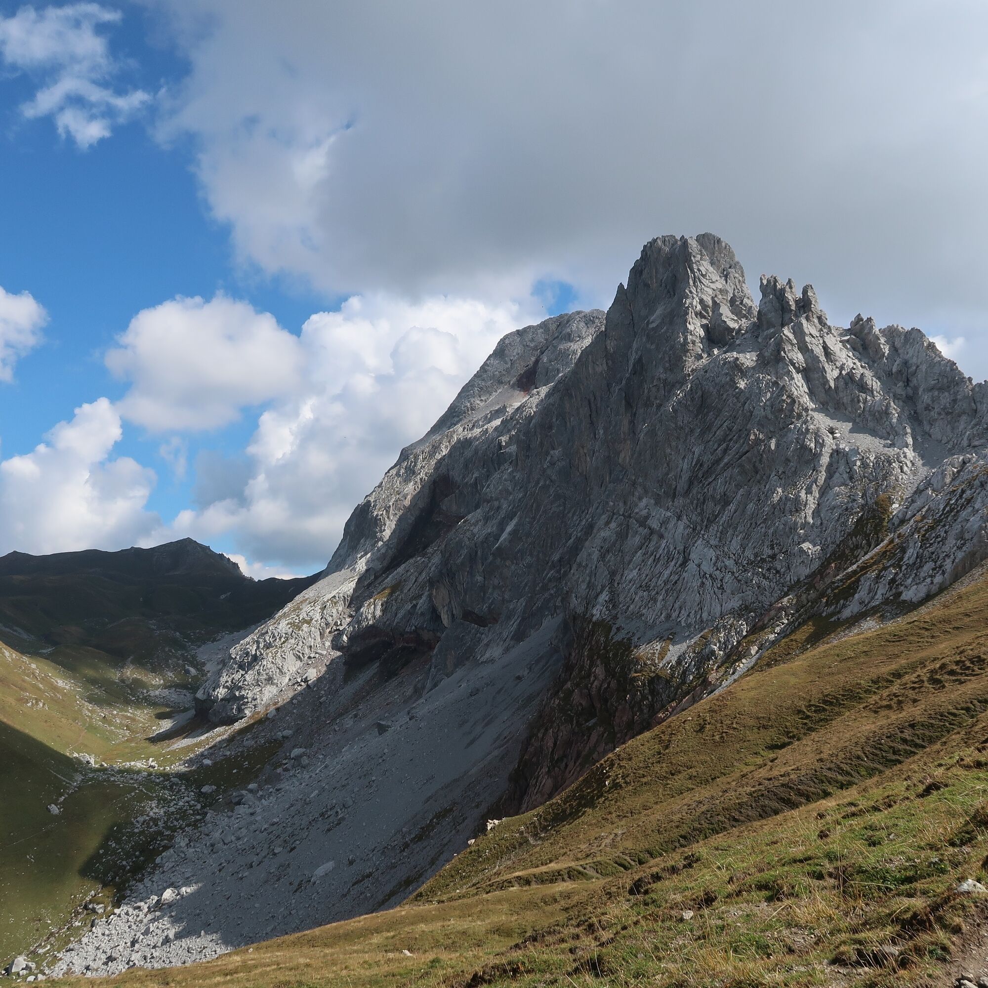
You follow the Prätigauer Höhenweg past the Kirchlispitzen, past the Swiss Gate, further under the Drei Türme until below the Drusentor. From here, it is not far to the Carschinahütte.
Da
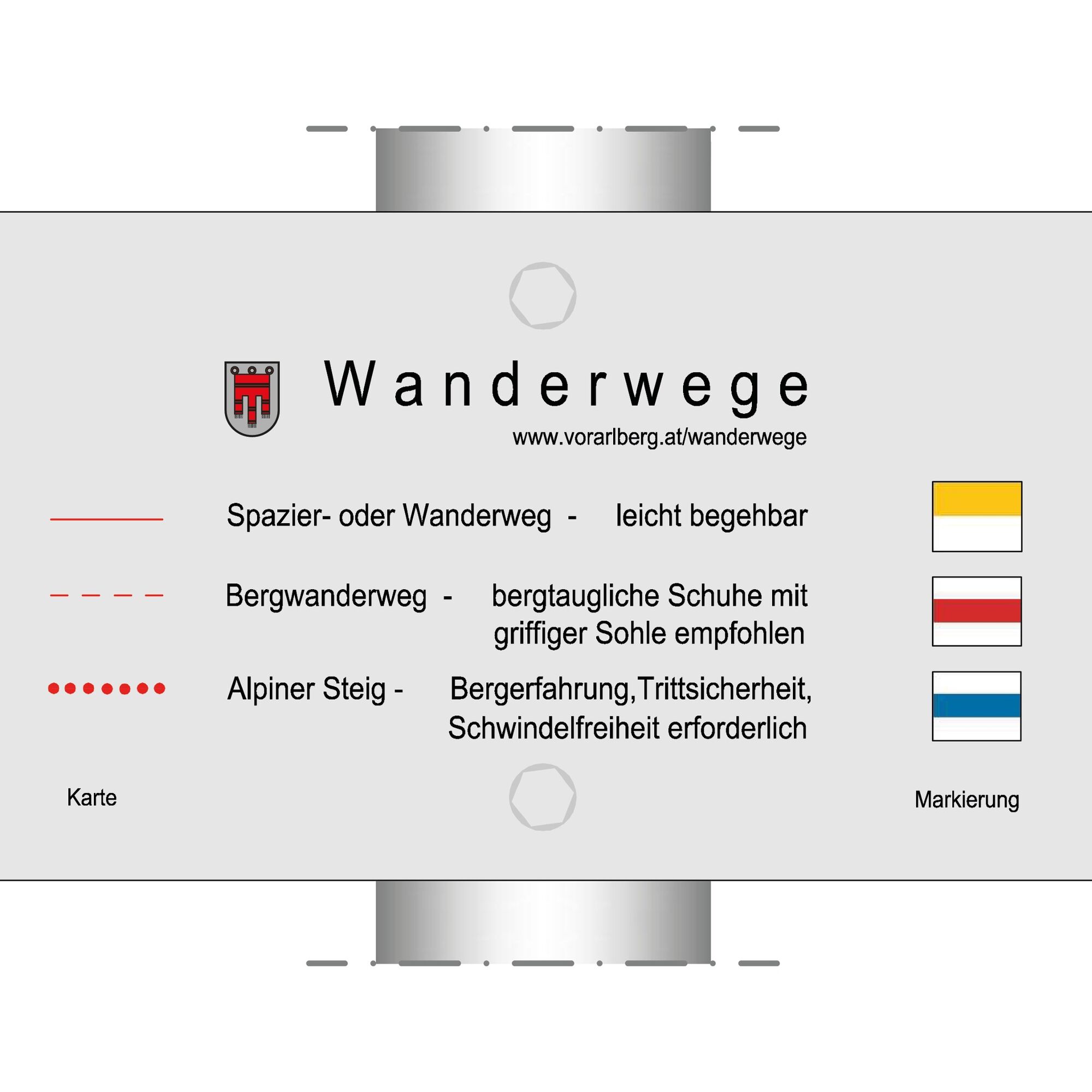
Good, ankle-high mountain boots with a good sole, sufficient provisions and drinks to take along, hiking poles are recommended.
EMERGENCY CALL: 144
European emergency number 112 (works with any mobile phone/network)
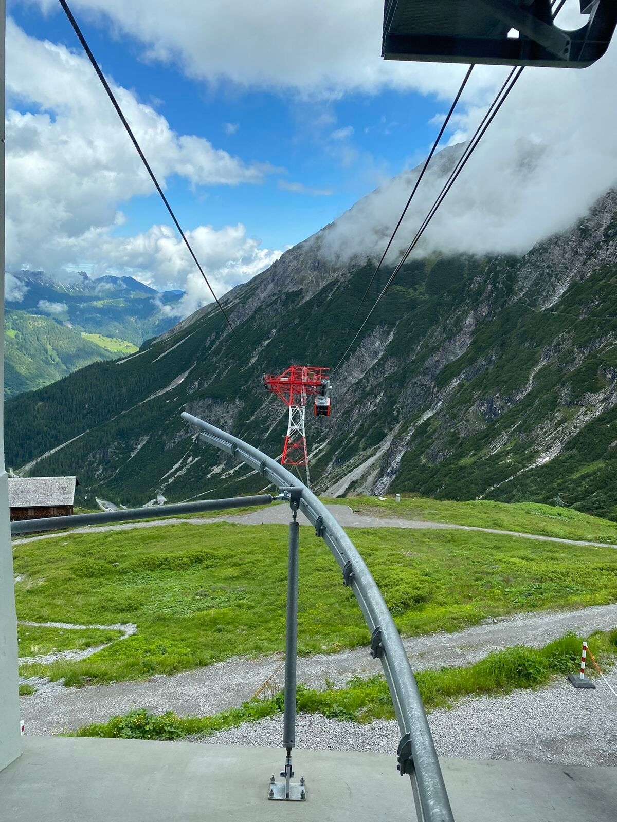
This section is also accessible by the Lünerseebahn from the Brandnertal.
Just leave your car behind
The regional buses of the Montafonerbahn run throughout the Montafon. The main lines run hourly from Schruns station.
From Schruns station you reach Bludenz station with the Montafonerbahn. From there take the bus (bus line 81) to Brand and ride to the final stop. The stop is: "Lünerseebahn".
There are numerous parking options at the Lünerseebahn.
Reservations and information about the Carschinahütte:
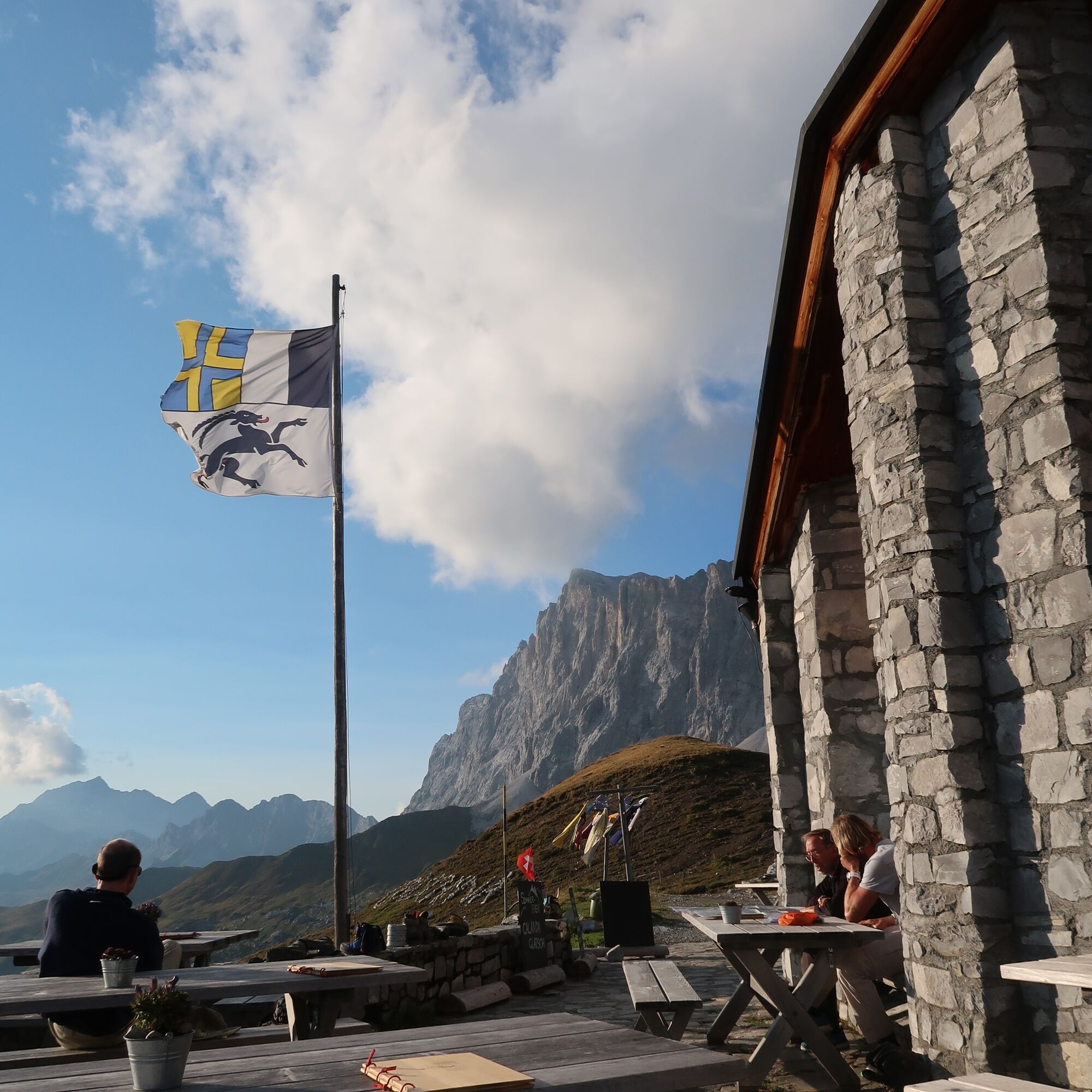
You definitely should not miss the sunset at the Carschinahütte.
Priljubljeni izleti v okolici
-
5.0
Ski tour to the Lindauer Hut (1,744 m)
svetlobaSmučarska tura 14.0 km -
4.8
Smuggler’s path
srednjaTematska pot 8.60 km -
5.0
Bürs, Bürserschlucht Bürs, Vorarlberg
srednjaPohodništvo 5.31 km -
4.9
Douglasshütte, Lünersee, Gafalljoch Brand bei Bludenz, Vorarlberg
svetlobaPohodništvo 9.16 km -
4.4
Golm-Rundwanderweg im Rätikon
srednjaTematska pot 7.28 km -
4.3
Golmerbahn Bergstaion Grüneck - Golmer Höhenweg - Geißspitze - Lindauer Hütte - Latschau
srednjaPohodništvo 11.5 km -
4.7
Over the historic mine and Fritzensee to Rellseck
srednjaPohodništvo 7.25 km -
4.1
Mondspitze (Montspitze)
srednjaPohodništvo 7.97 km -
3.7
Fürstin-Gina-Weg
Pohodništvo 10.7 km -
4.8
Douglashütte - Schesaplana
srednjaPohodništvo 7.31 km
Pohodništvo in sledenje


Ne zamudite ponudb in navdiha za naslednje počitnice
Vaš e-poštni naslov je bil dodan na poštni seznam.