



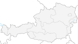


Stuttgarter hut
Stopnja težavnosti: T2
Fotografije naših uporabnikov
-
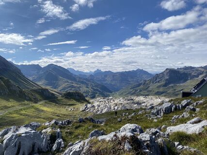
 © Mihyang MoUstvarjeno na 16.09.2023
 -
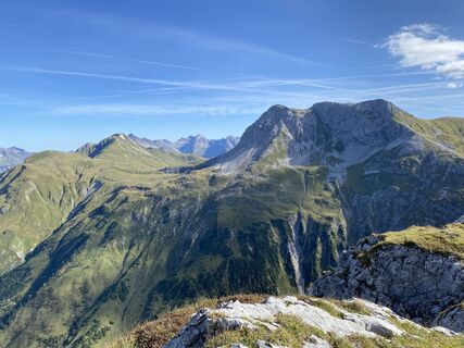 © Mihyang MoUstvarjeno na 16.09.2023
 -
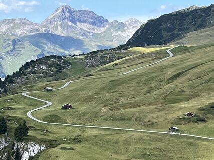
 © Schnee-HexeUstvarjeno na 19.08.2025
 -
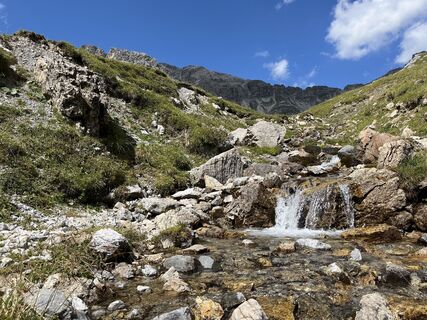 © Schnee-HexeUstvarjeno na 19.08.2025
 -
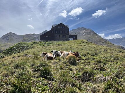 © Schnee-HexeUstvarjeno na 19.08.2025
 -
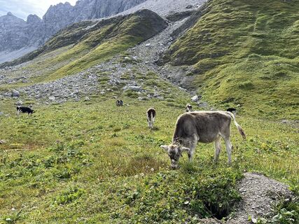 © Schnee-HexeUstvarjeno na 19.08.2025
 -
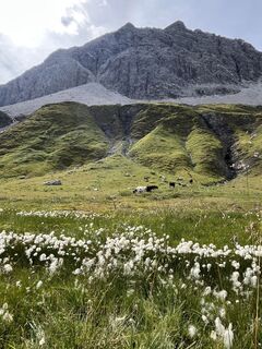 © Schnee-HexeUstvarjeno na 19.08.2025
 -
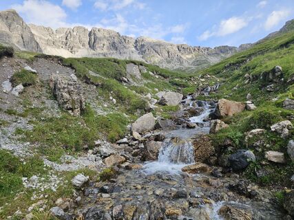
 © Daniel VonbunUstvarjeno na 20.07.2025
 -
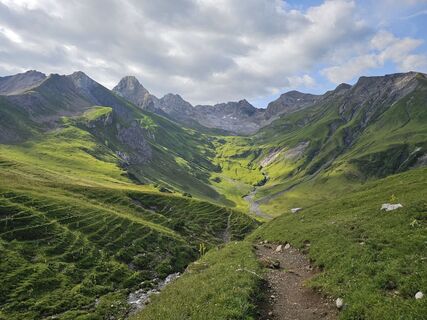 © Daniel VonbunUstvarjeno na 20.07.2025
 -
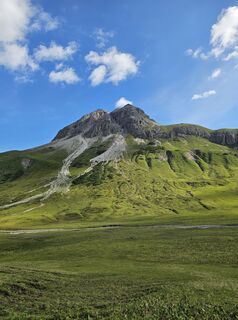 © Daniel VonbunUstvarjeno na 20.07.2025
 -

 © WalterLeitgebUstvarjeno na 30.08.2024
 -
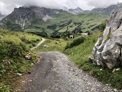
 © Marco EbnicherUstvarjeno na 23.08.2020
 -
 © Marco EbnicherUstvarjeno na 23.08.2020
 -
 © Marco EbnicherUstvarjeno na 23.08.2020
 -
 © Niek SmitsUstvarjeno na 29.07.2024
 -
 © Mihyang MoUstvarjeno na 16.09.2023
 -
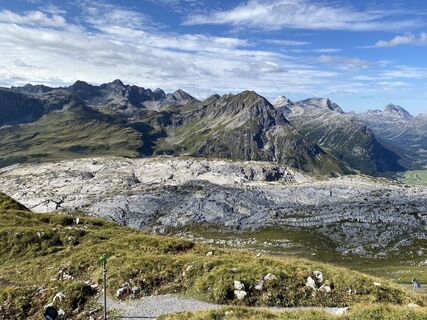 © Mihyang MoUstvarjeno na 16.09.2023
 -
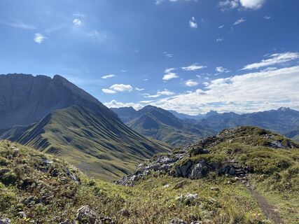 © Mihyang MoUstvarjeno na 16.09.2023
 -
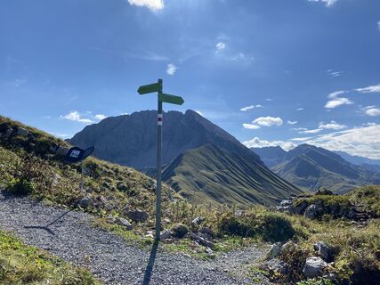 © Mihyang MoUstvarjeno na 16.09.2023
 -
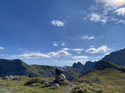 © Mihyang MoUstvarjeno na 16.09.2023
 -
 © Mihyang MoUstvarjeno na 16.09.2023
 -
 © Mihyang MoUstvarjeno na 16.09.2023
 -
 © Wolfgang HaafUstvarjeno na 26.01.2023
 -
 © Wolfgang HaafUstvarjeno na 26.01.2023
 -
 © Mats AncoletUstvarjeno na 07.04.2026
 -
 © Mats AncoletUstvarjeno na 07.04.2026
 -
 © Jochen WeinzierlUstvarjeno na 05.04.2026
 -
 © Jochen WeinzierlUstvarjeno na 04.04.2026
 -
 © Jochen WeinzierlUstvarjeno na 03.04.2026
 -
 © Palir RobertUstvarjeno na 20.03.2026
 -
 © Anna-Maria SzelaUstvarjeno na 14.03.2026
 -
 © Matze SchneiderUstvarjeno na 14.03.2026
 -
 © Matze SchneiderUstvarjeno na 14.03.2026
 -
 © MarisaUstvarjeno na 10.03.2026
 -
 © MarisaUstvarjeno na 10.03.2026
 -
 © Cezary RUstvarjeno na 10.03.2026
 -
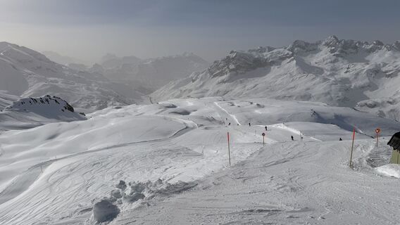
 © Lukas Herrmanns 1Ustvarjeno na 06.03.2026
 -
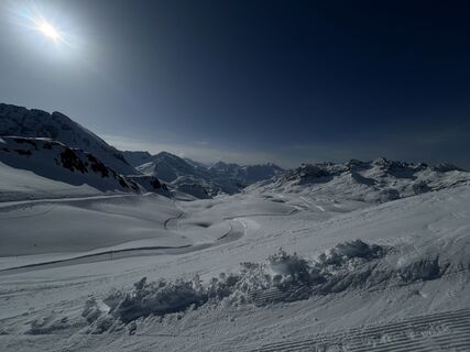
 © Moritz_Ski_Berg*erUstvarjeno na 02.03.2026
 -
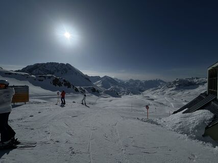 © Moritz_Ski_Berg*erUstvarjeno na 02.03.2026
 -
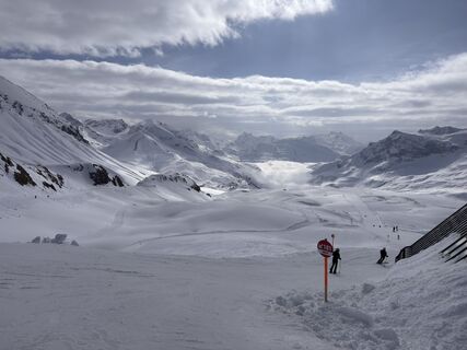
 © AndréUstvarjeno na 01.03.2026
 -
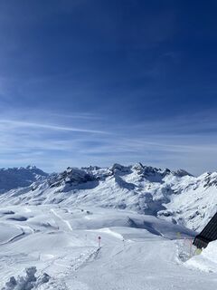
 © Carla MöllerUstvarjeno na 28.02.2026
 -
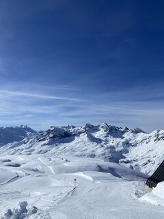 © Carla MöllerUstvarjeno na 28.02.2026
 -
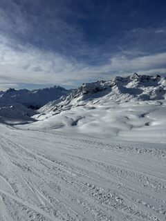 © JK JOKUstvarjeno na 12.02.2026
 -
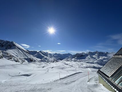
 © Felix HartlUstvarjeno na 07.02.2026
 -
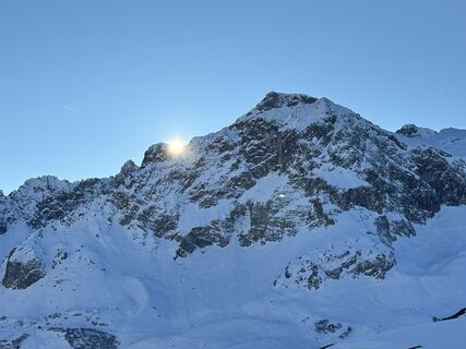
 © Marc LangeUstvarjeno na 05.02.2026
 -
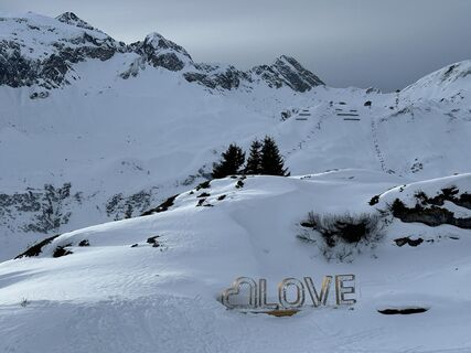 © Marc LangeUstvarjeno na 04.02.2026
 -
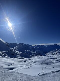
 © Hannes LiesenbergUstvarjeno na 30.01.2026
 -
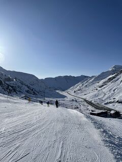 © Leonhard DuxUstvarjeno na 19.01.2026
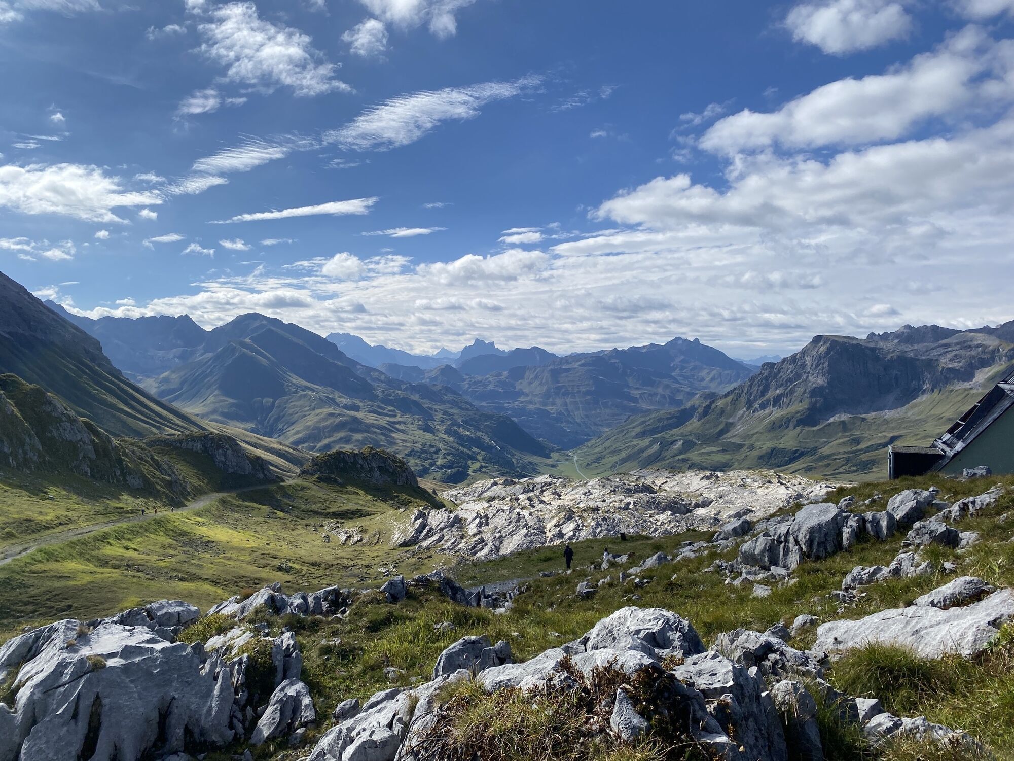
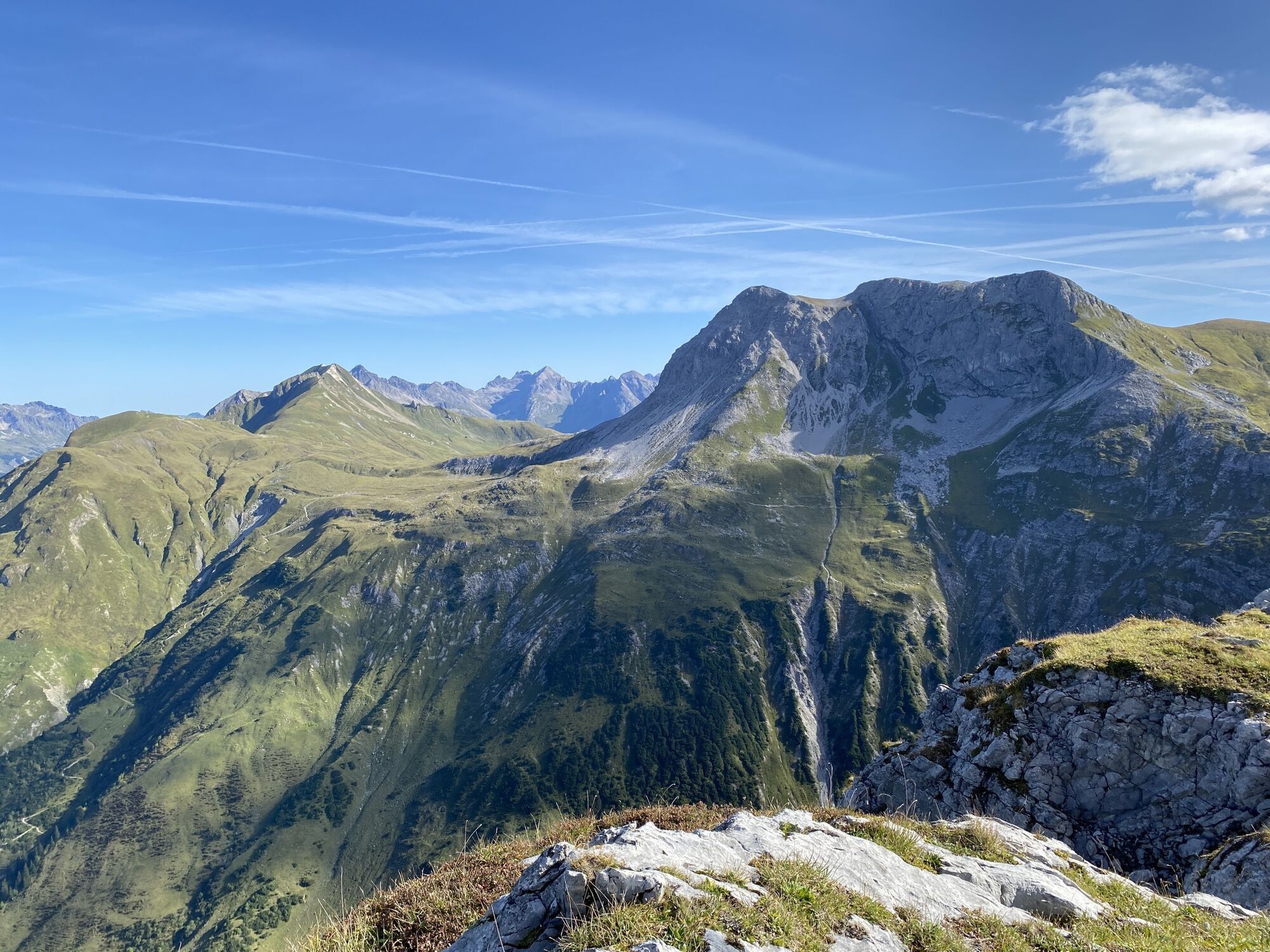
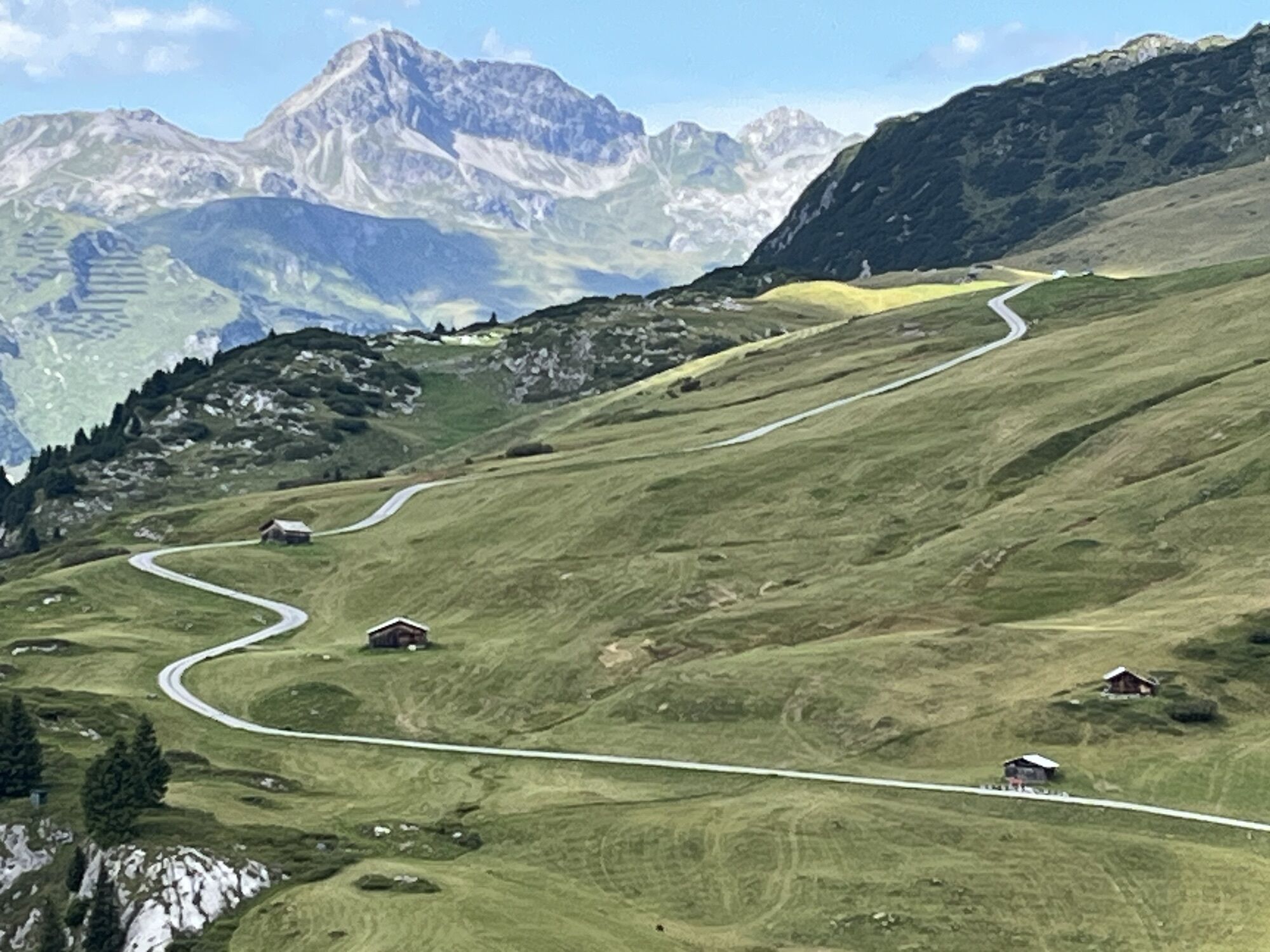
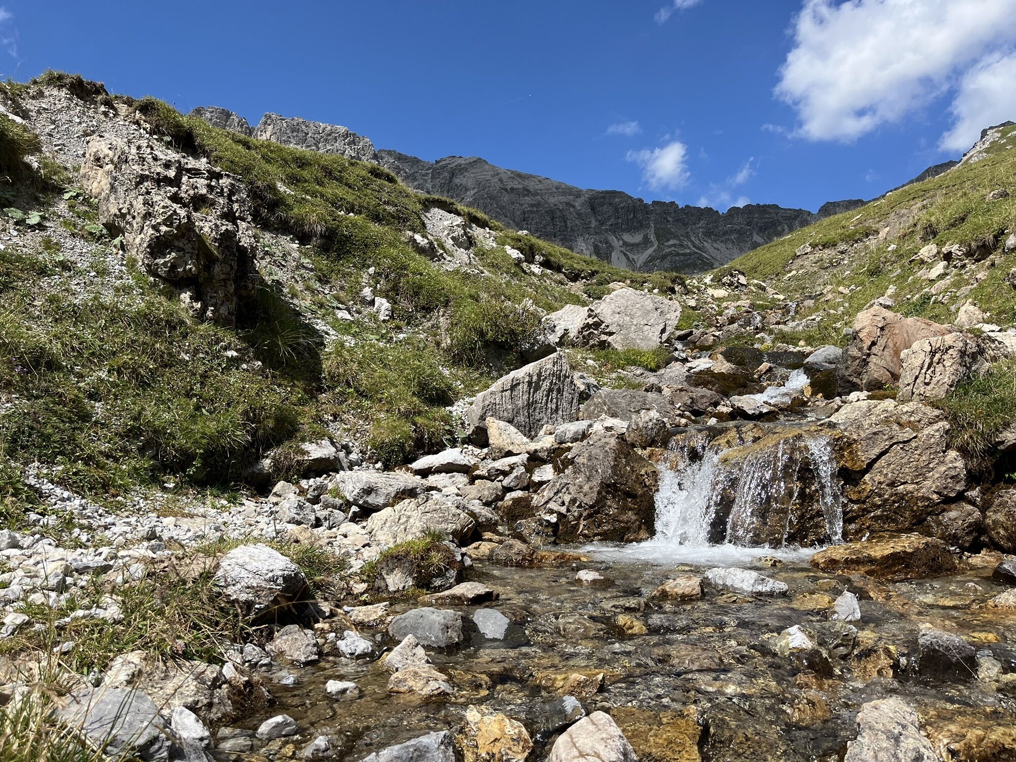
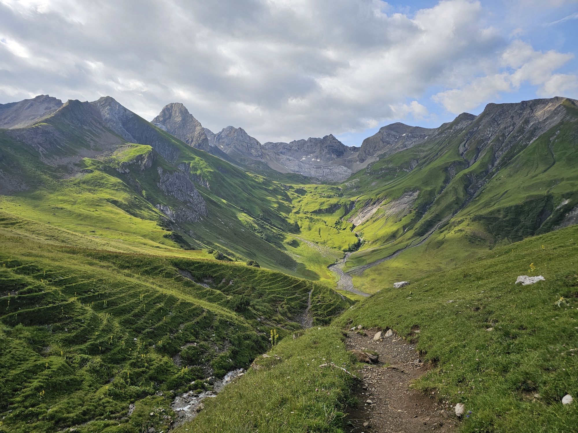
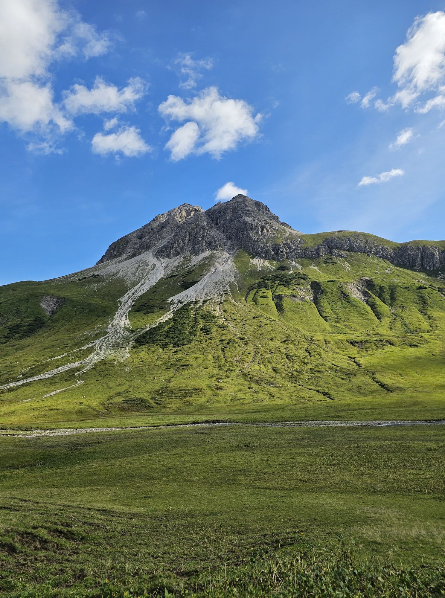
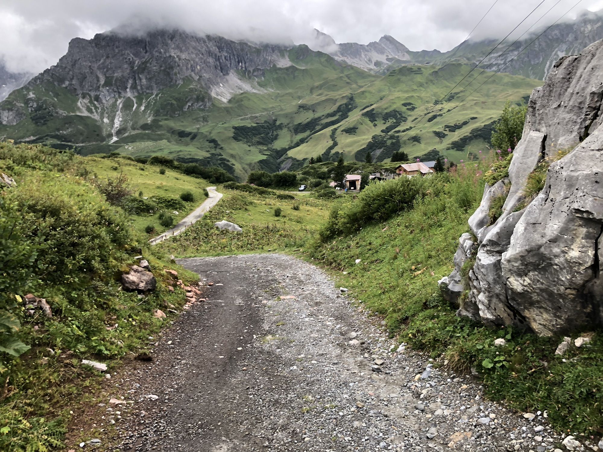
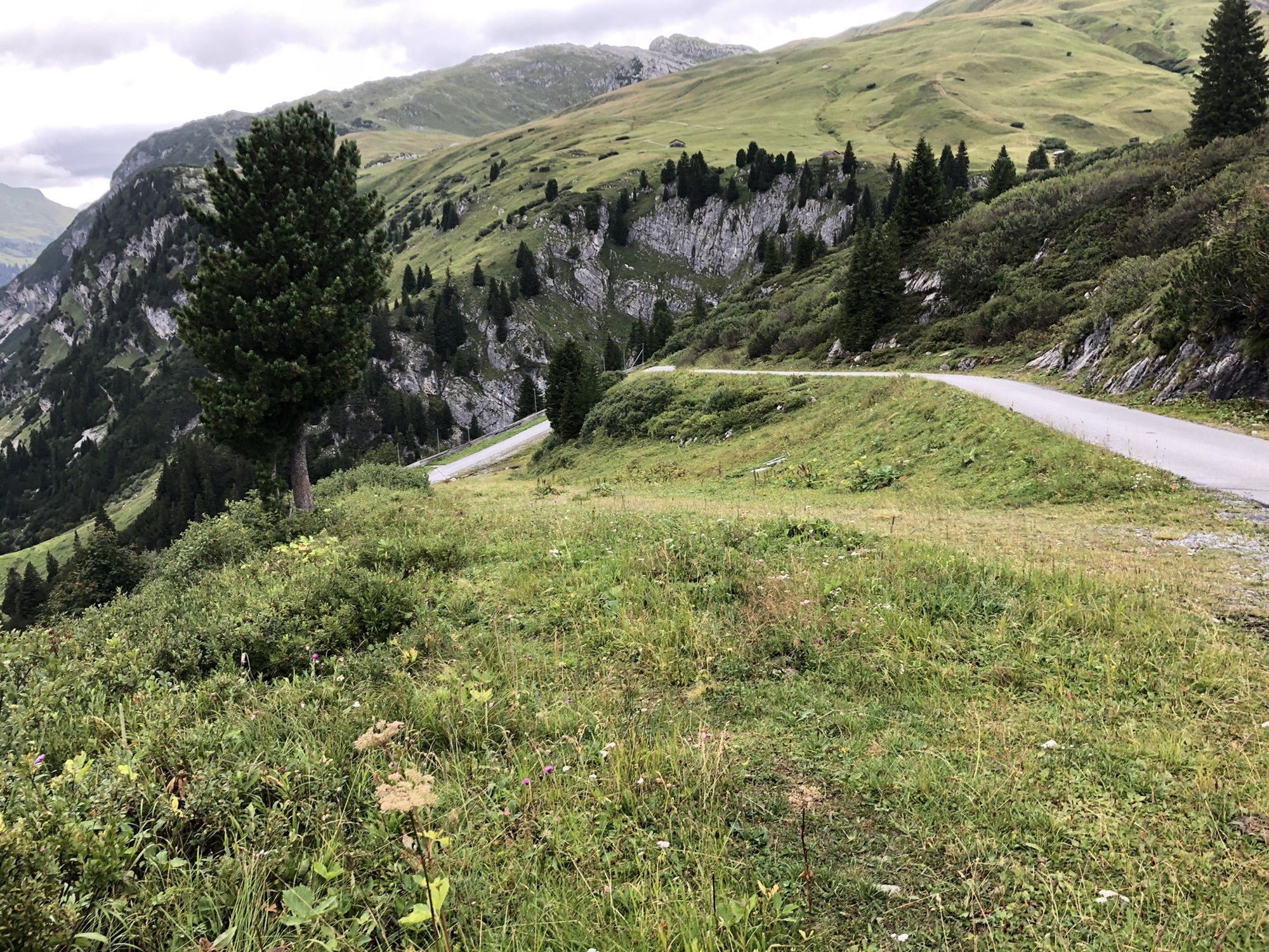
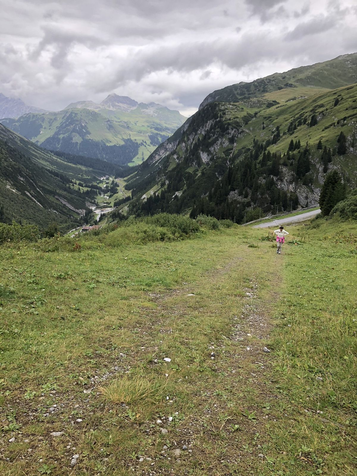
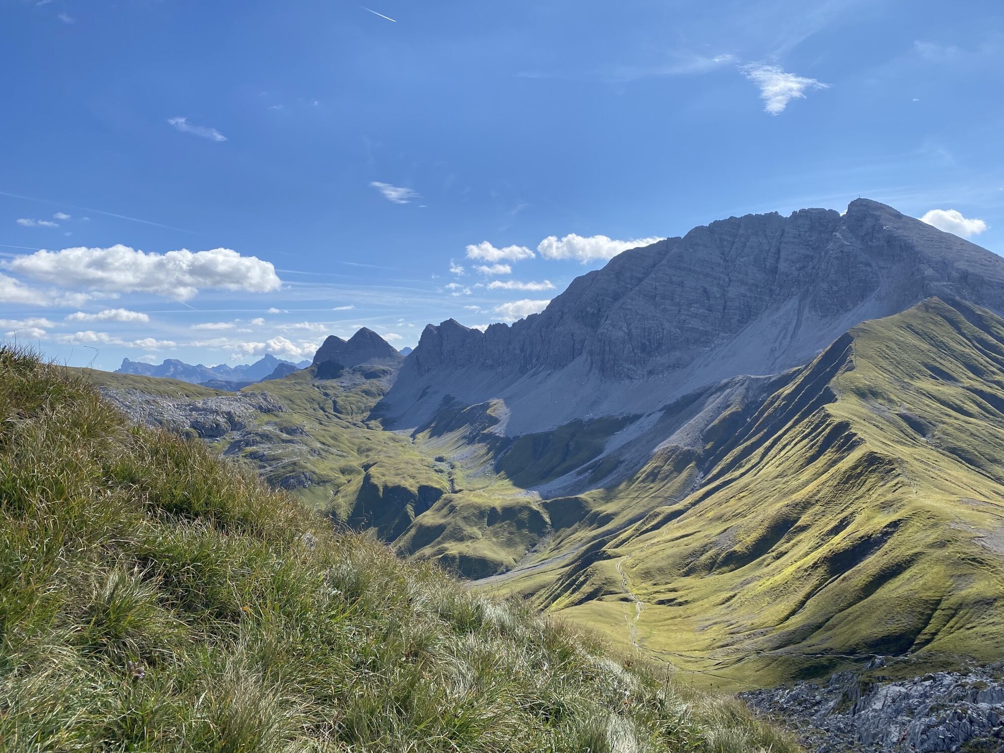
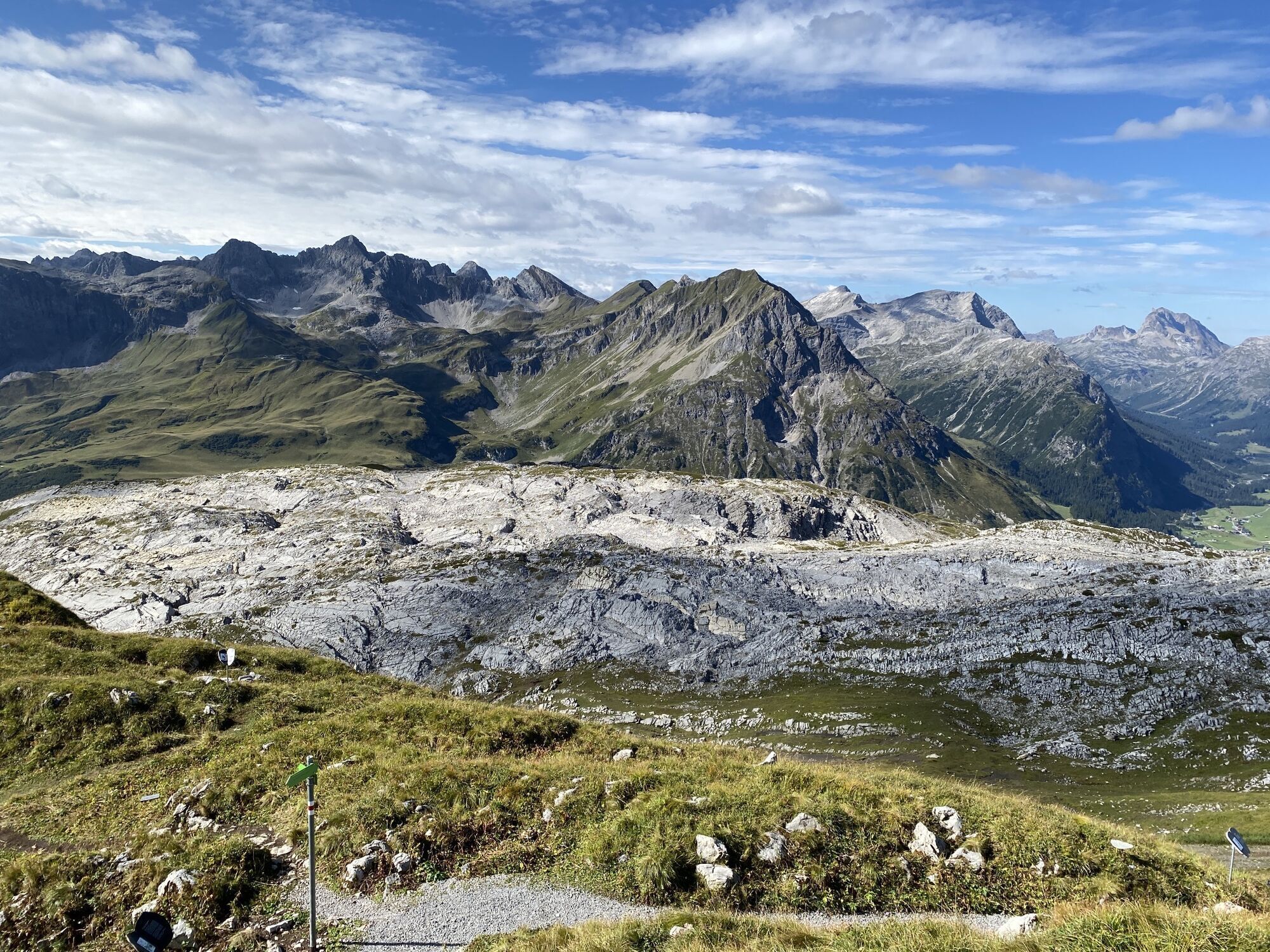
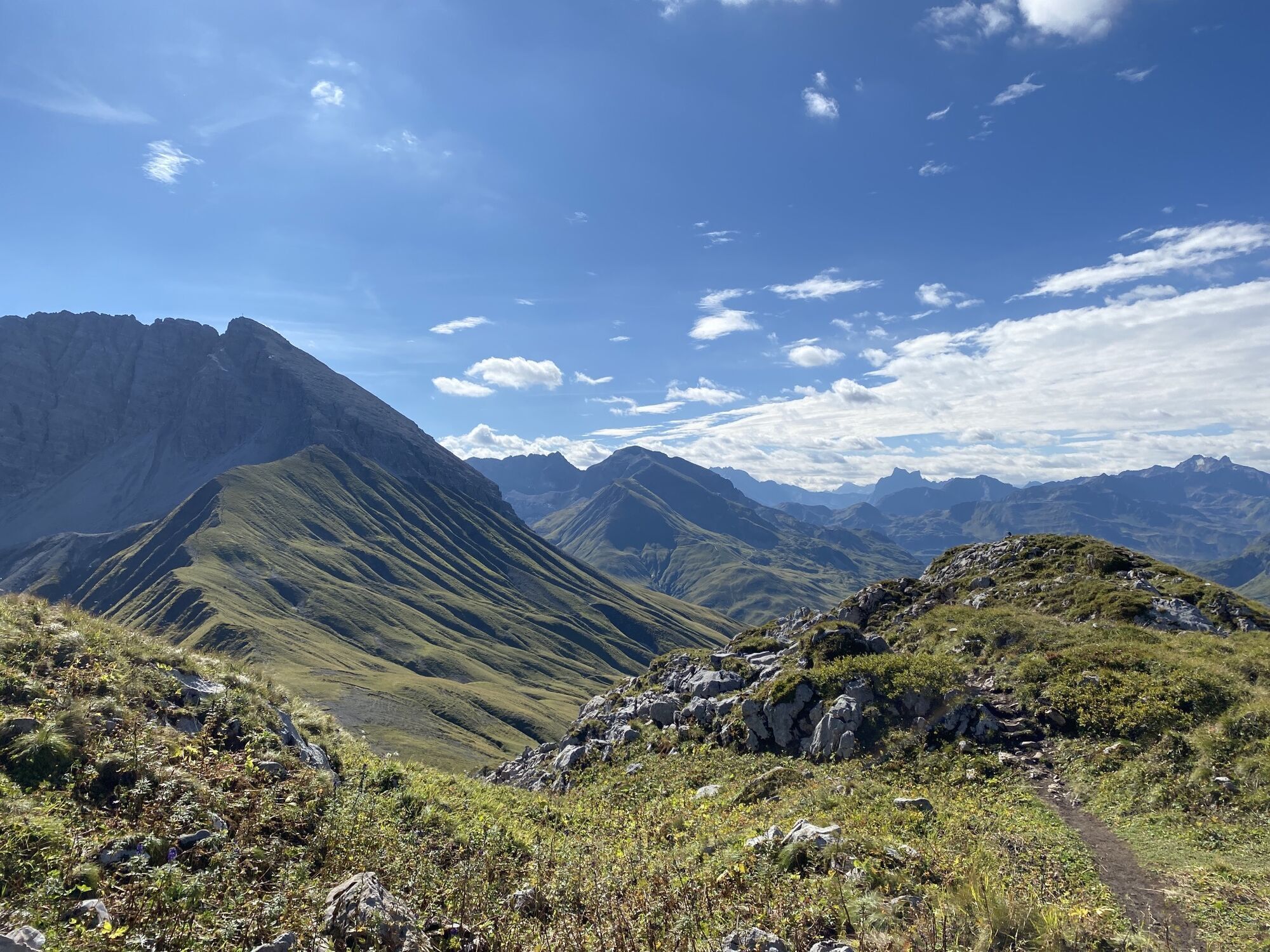
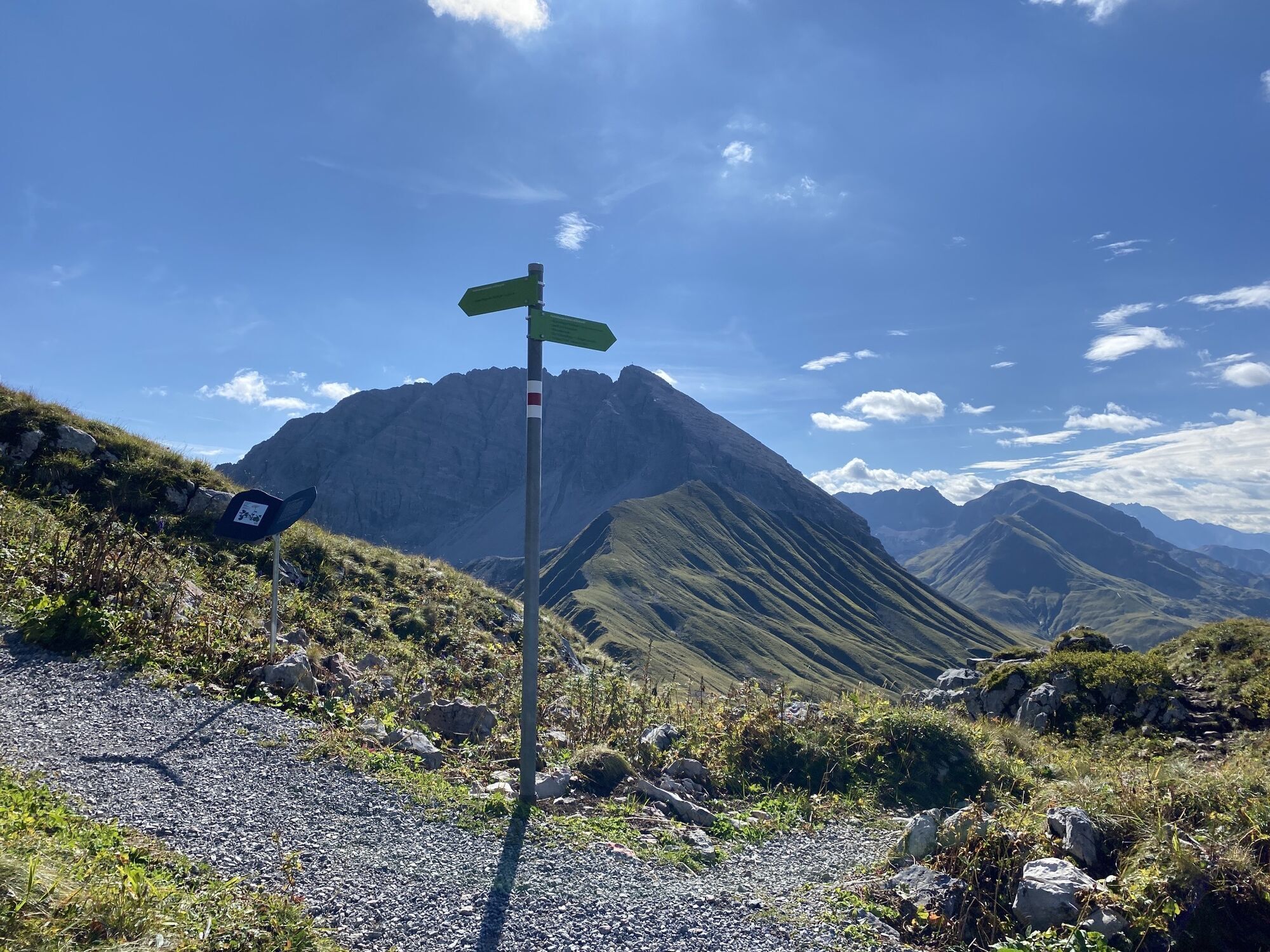
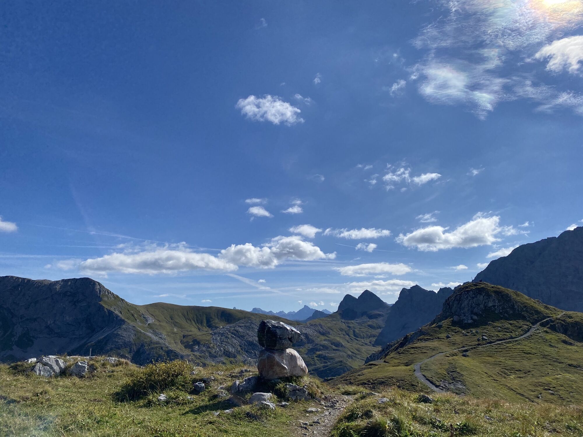
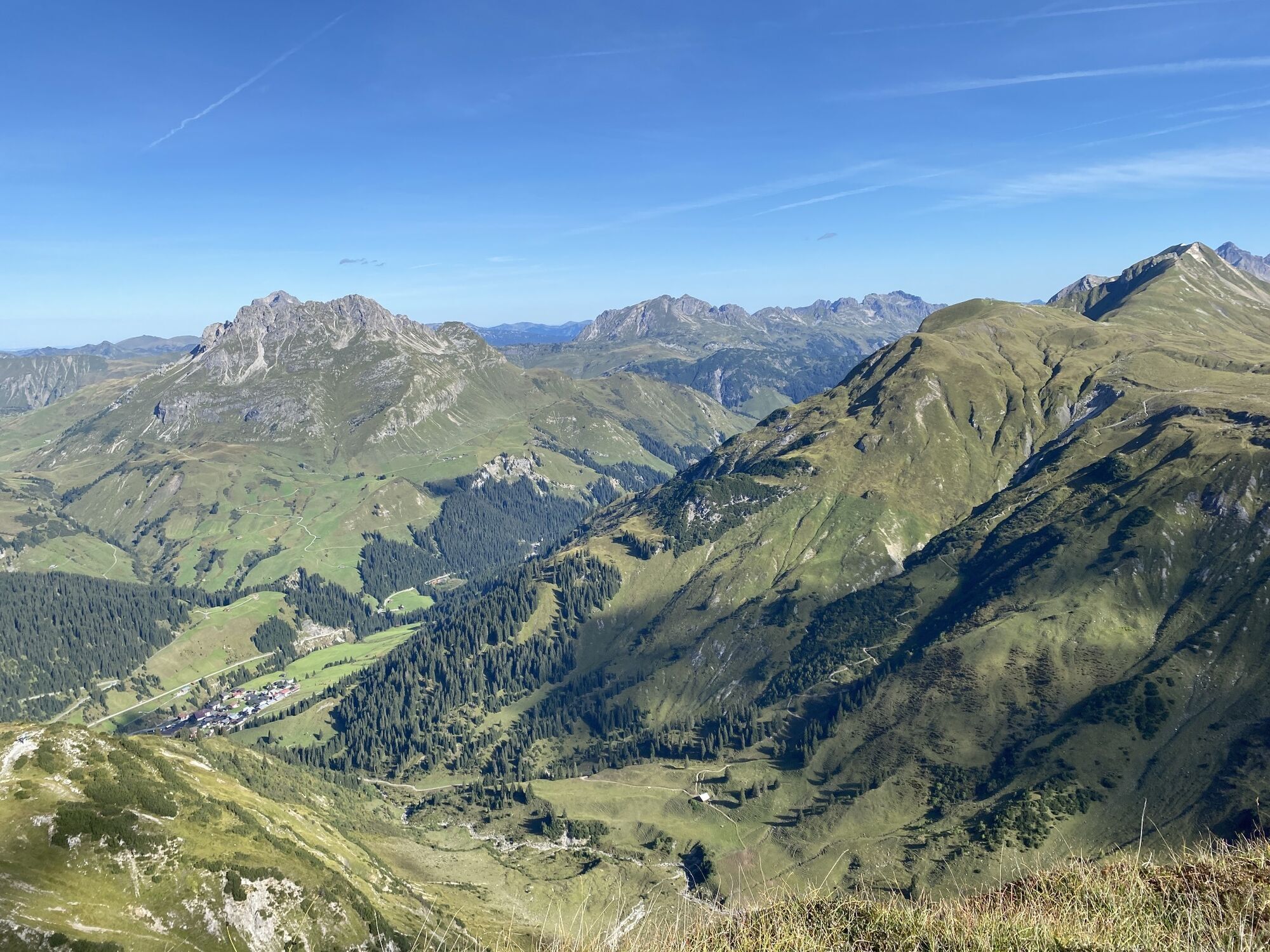
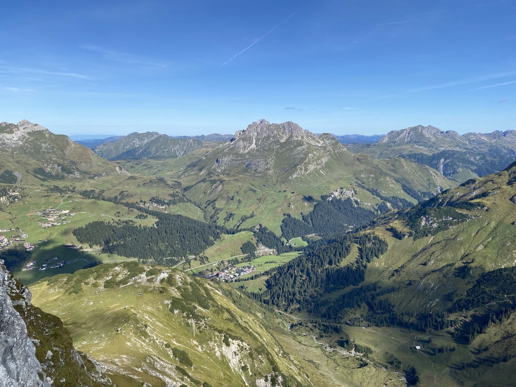
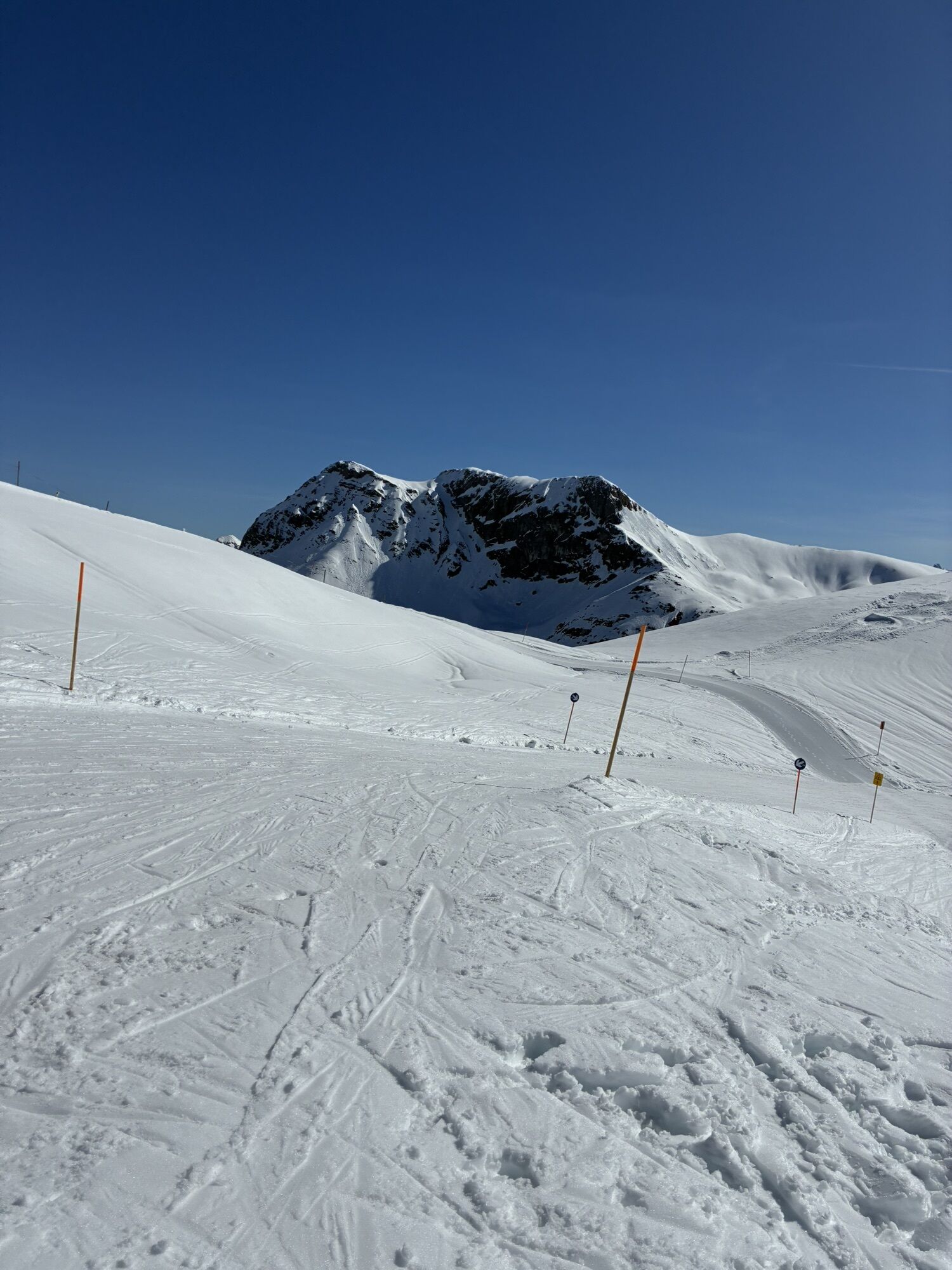
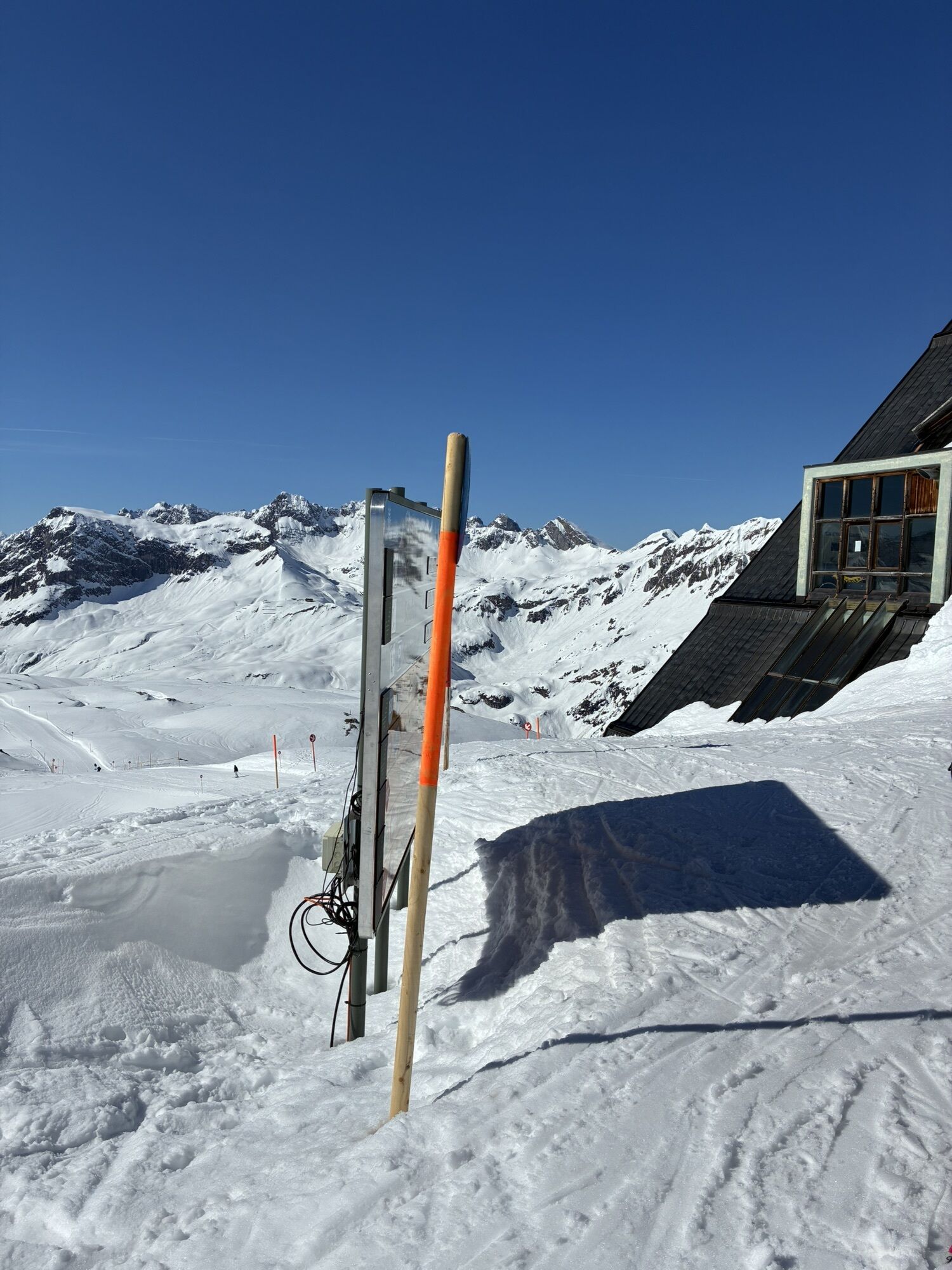
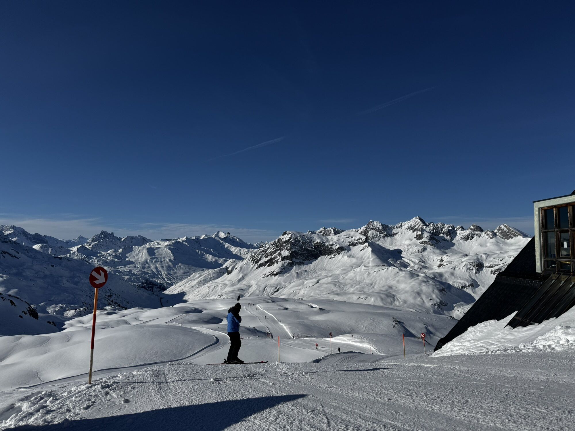
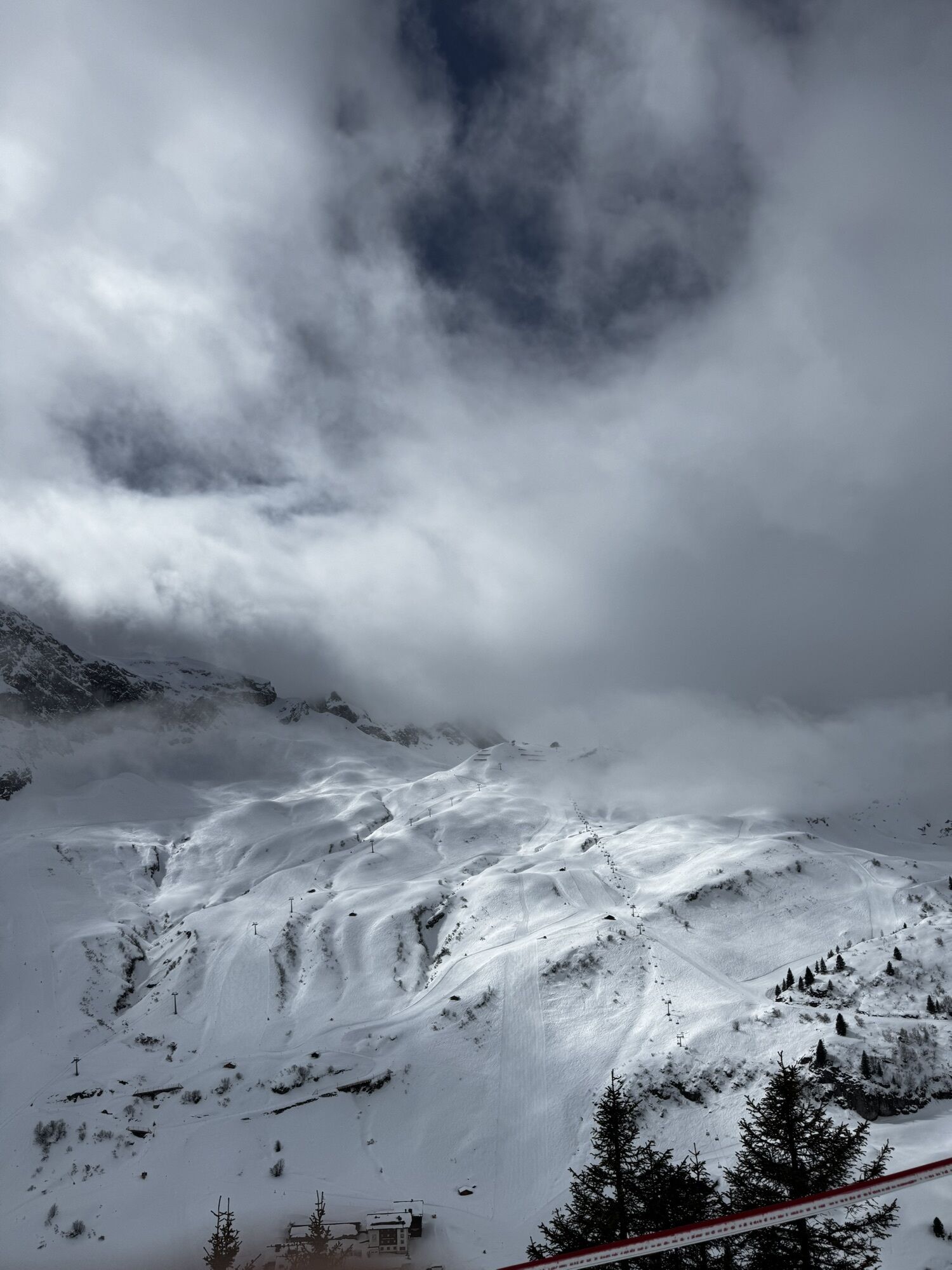
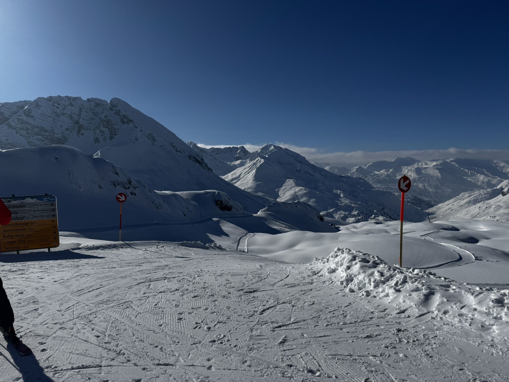
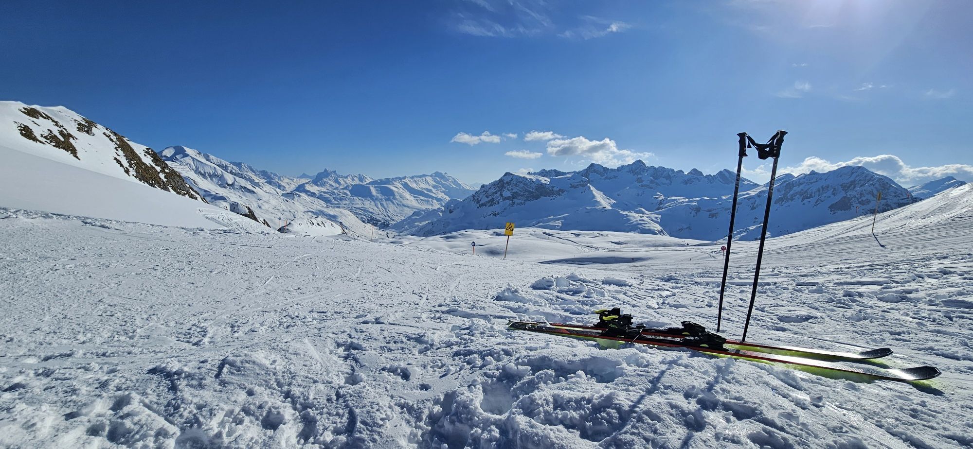
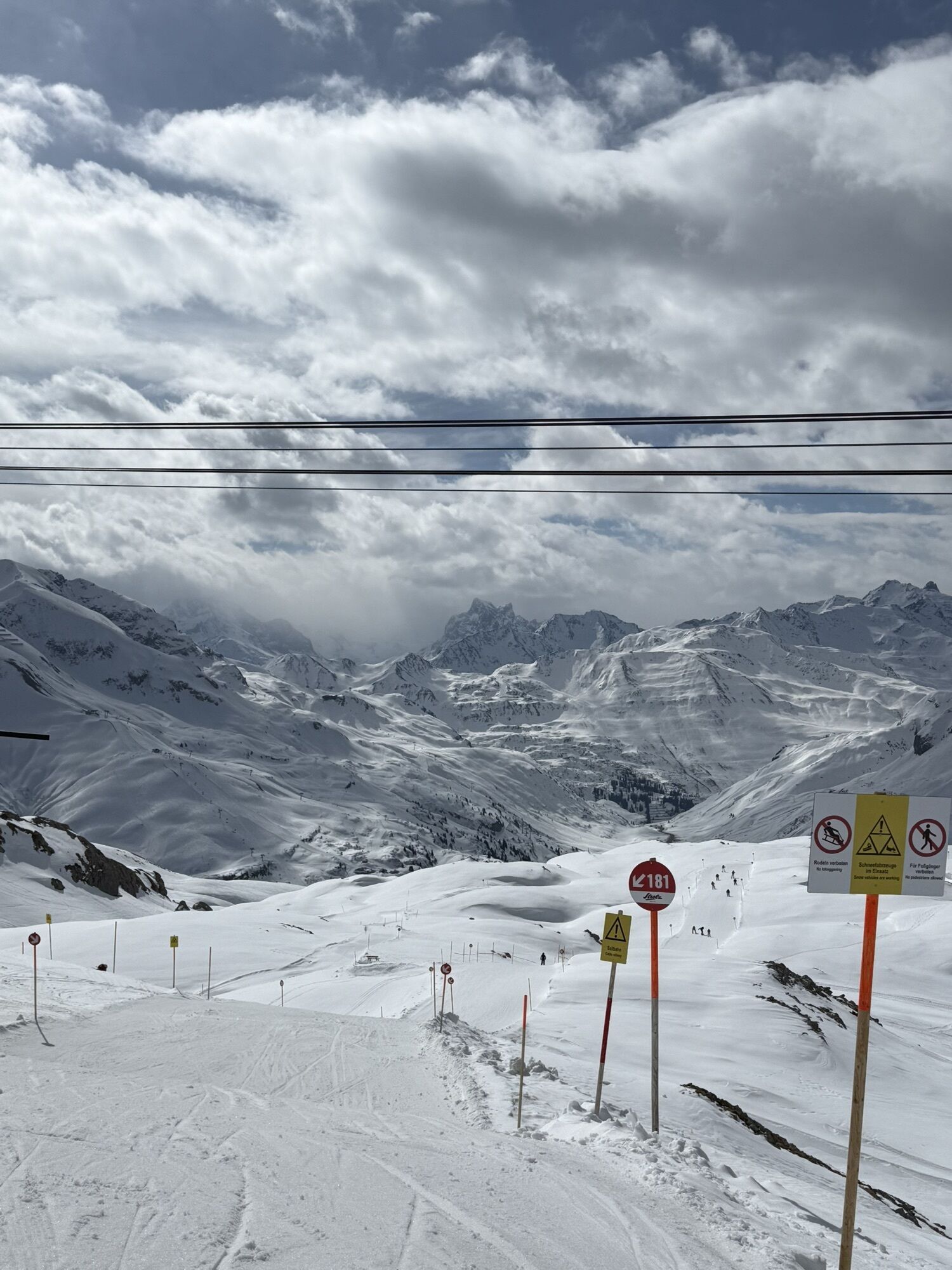
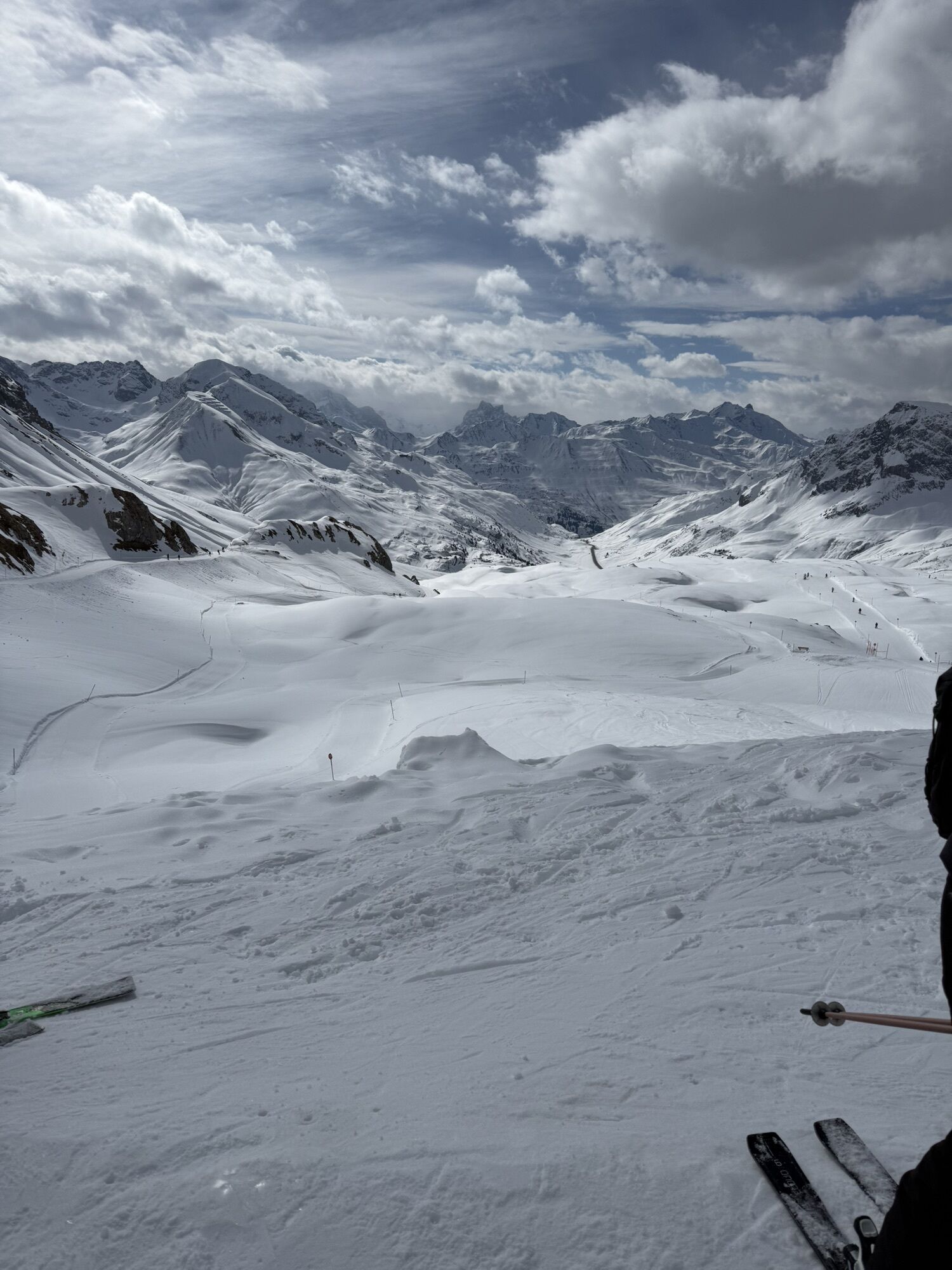
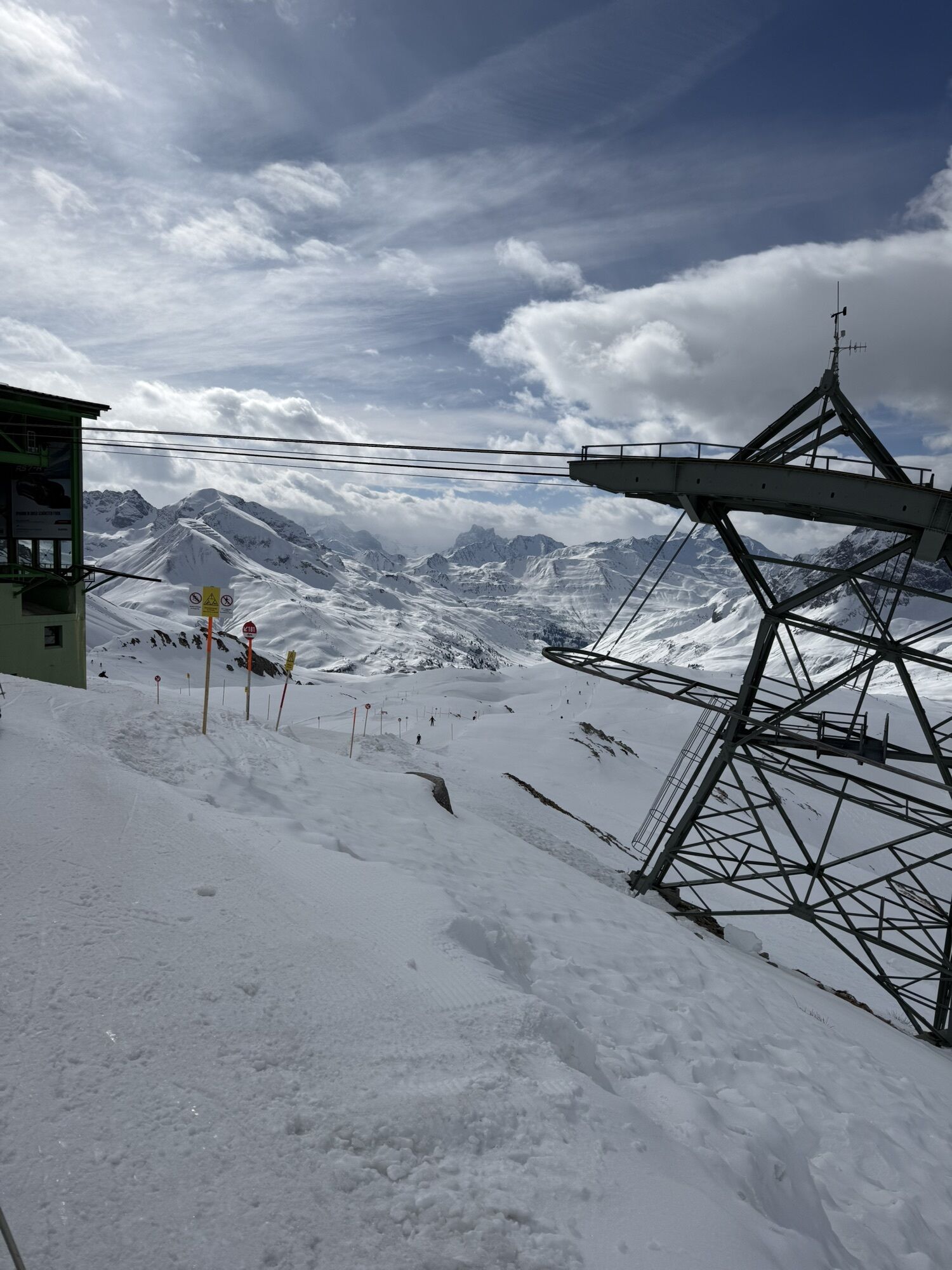
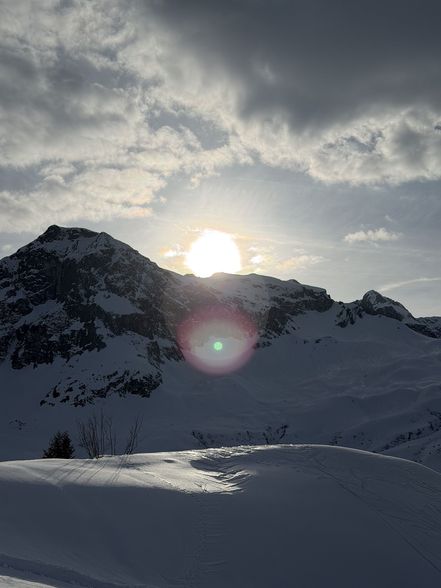
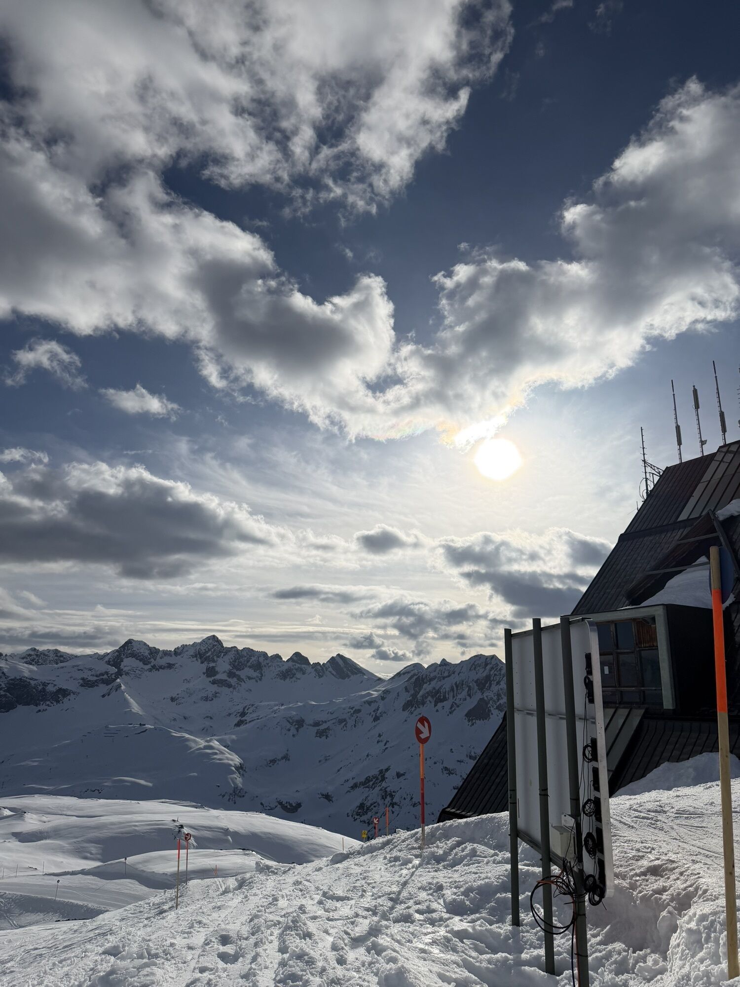
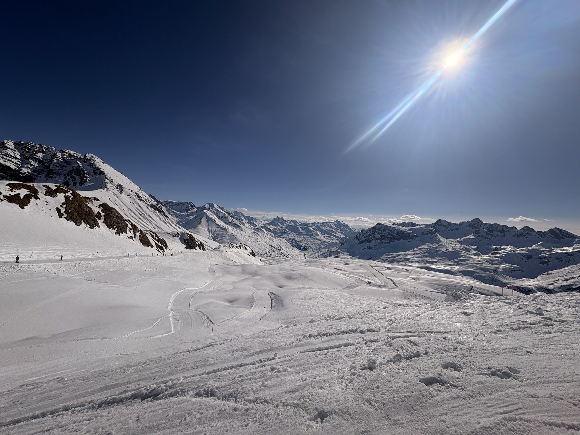
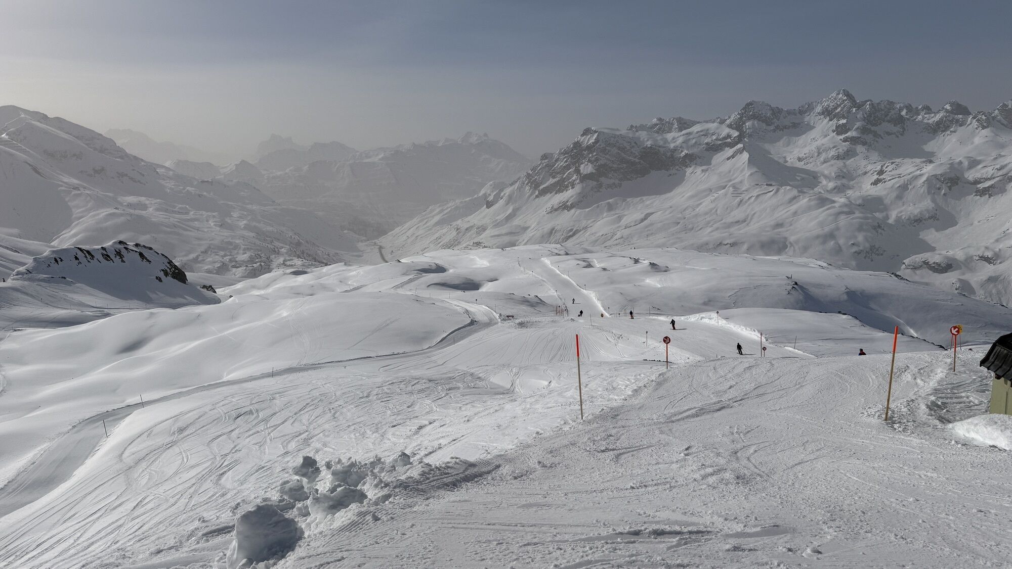
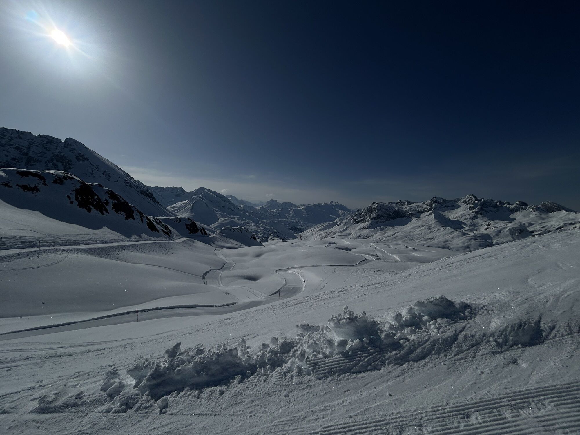
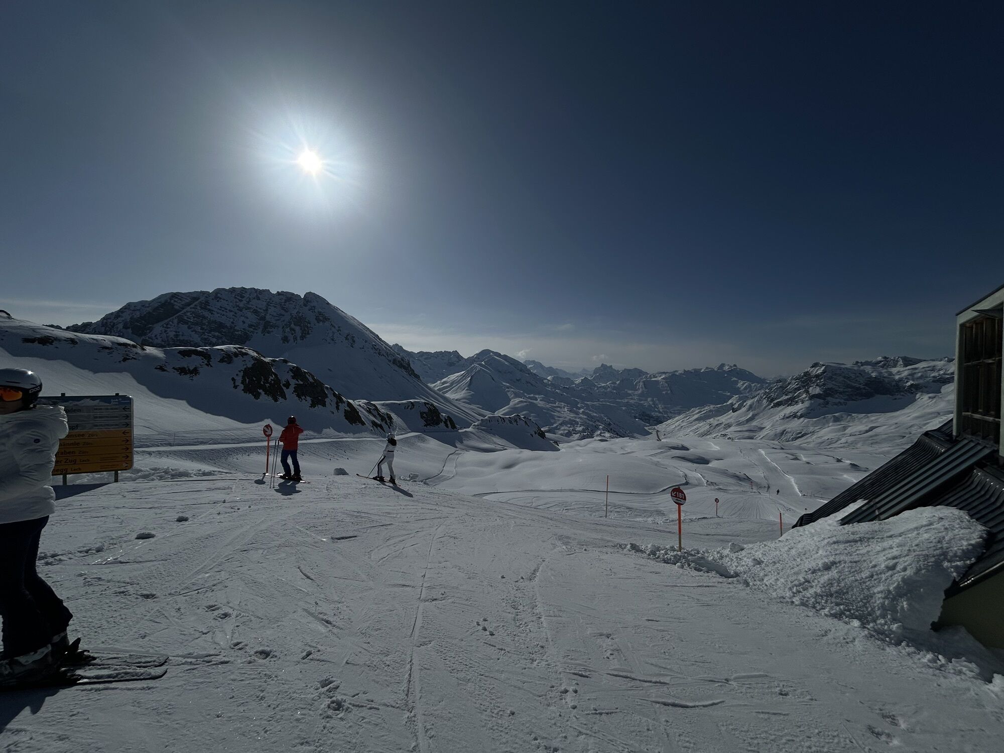
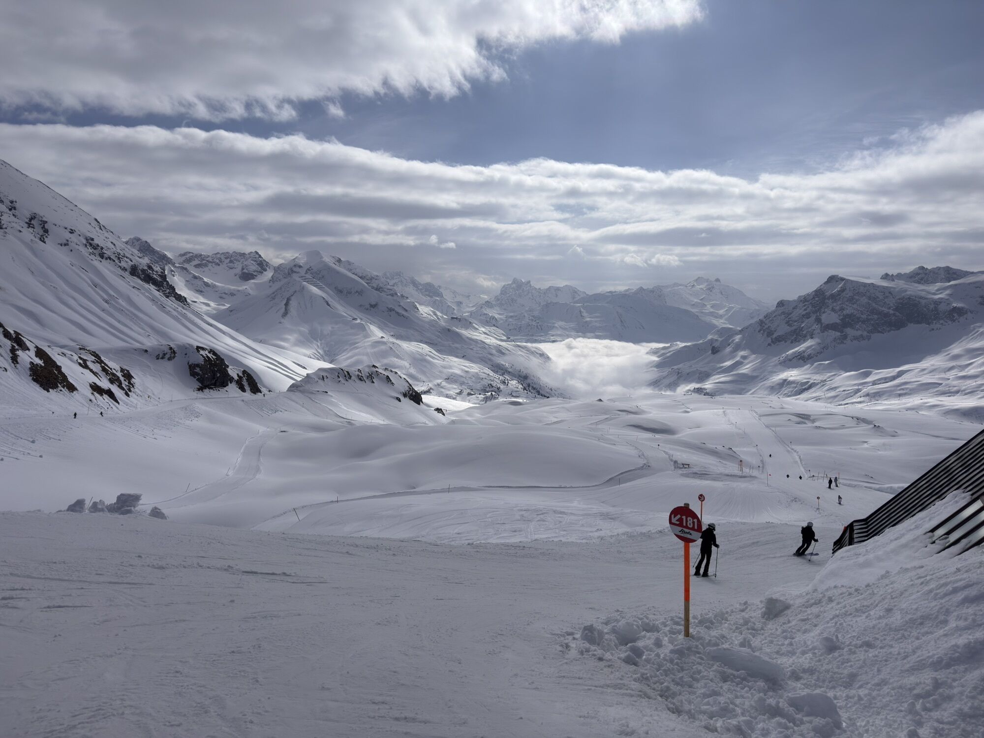
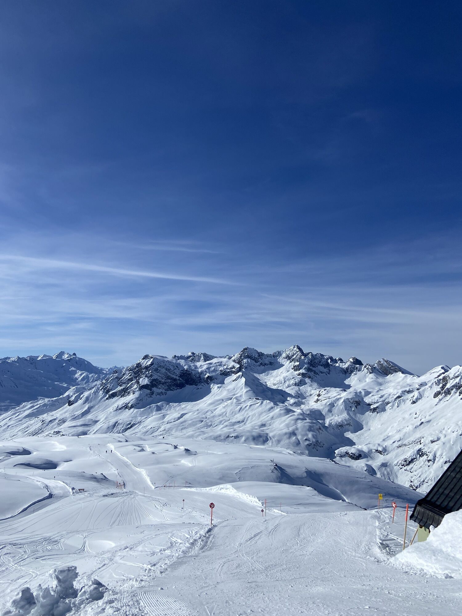
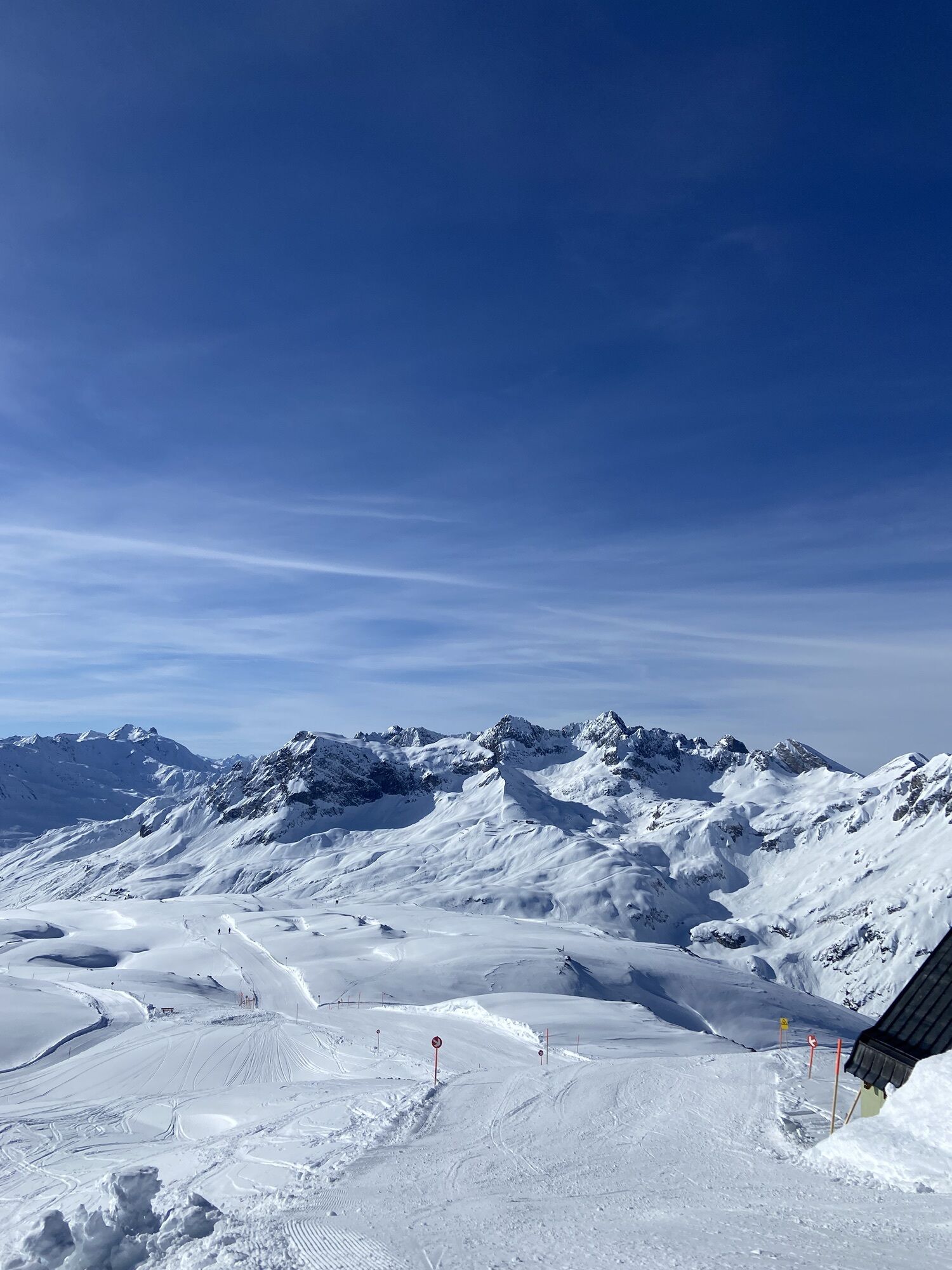
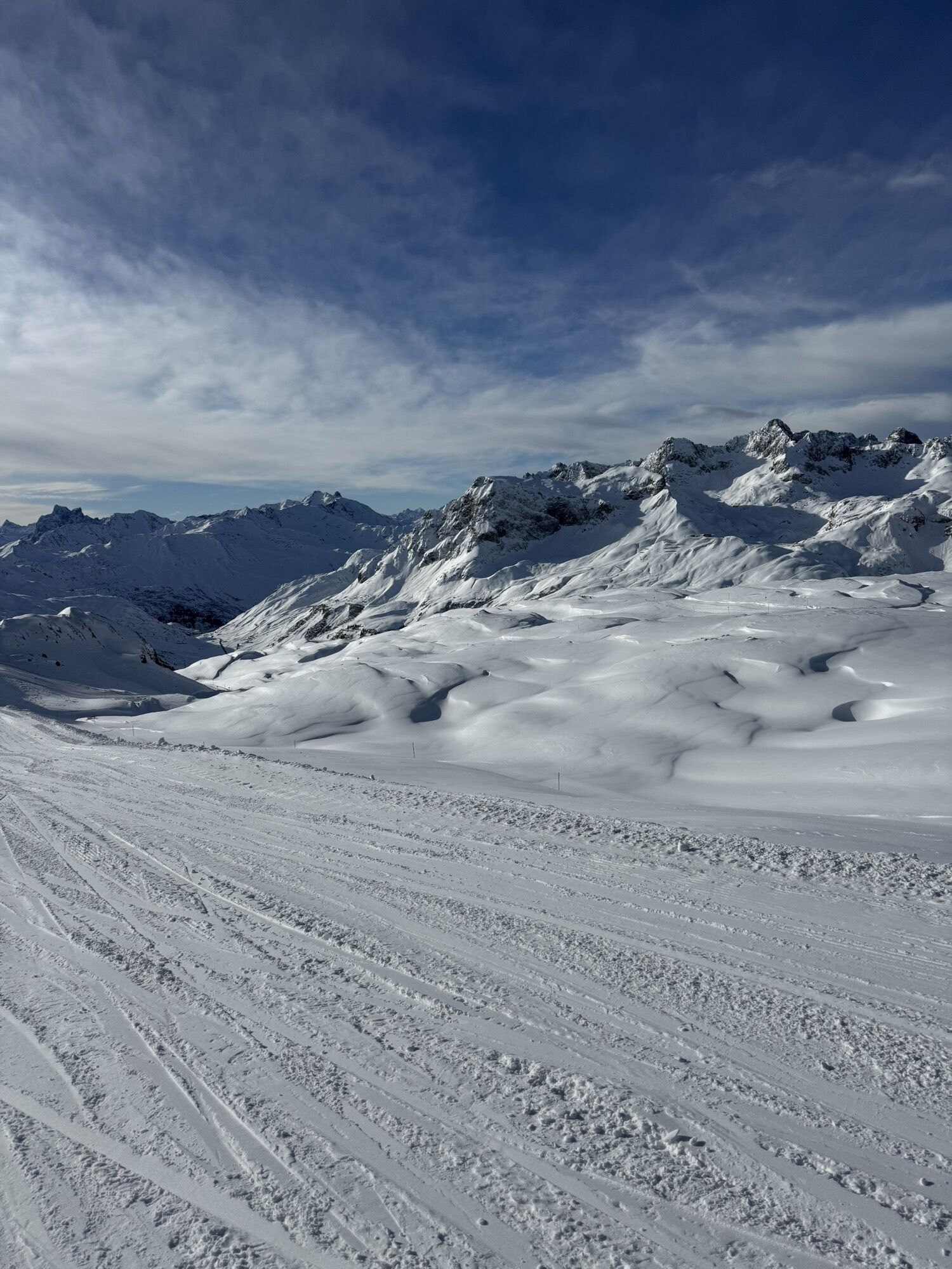
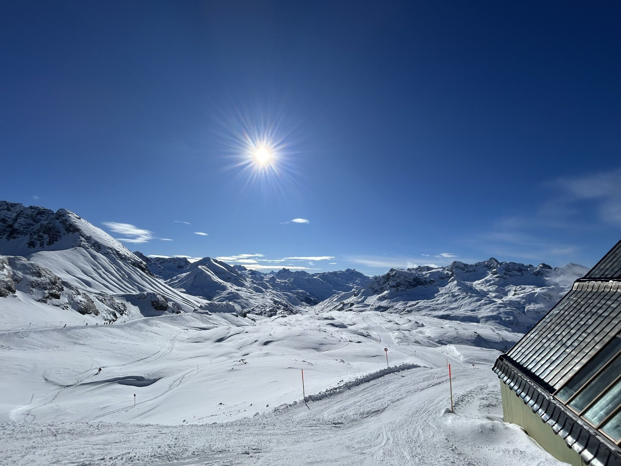
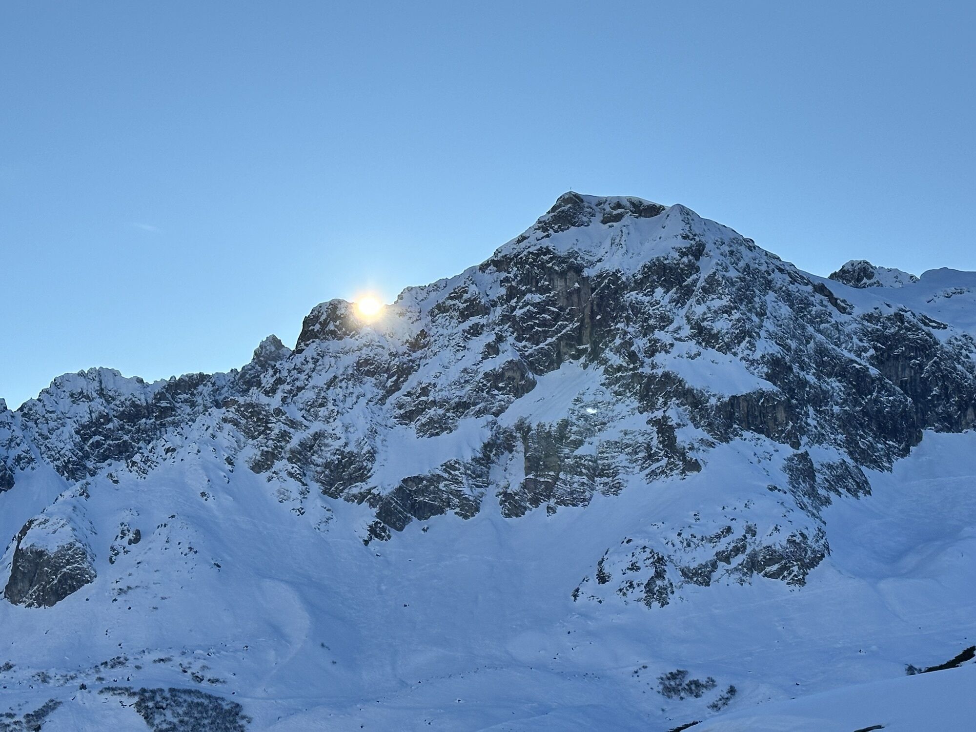
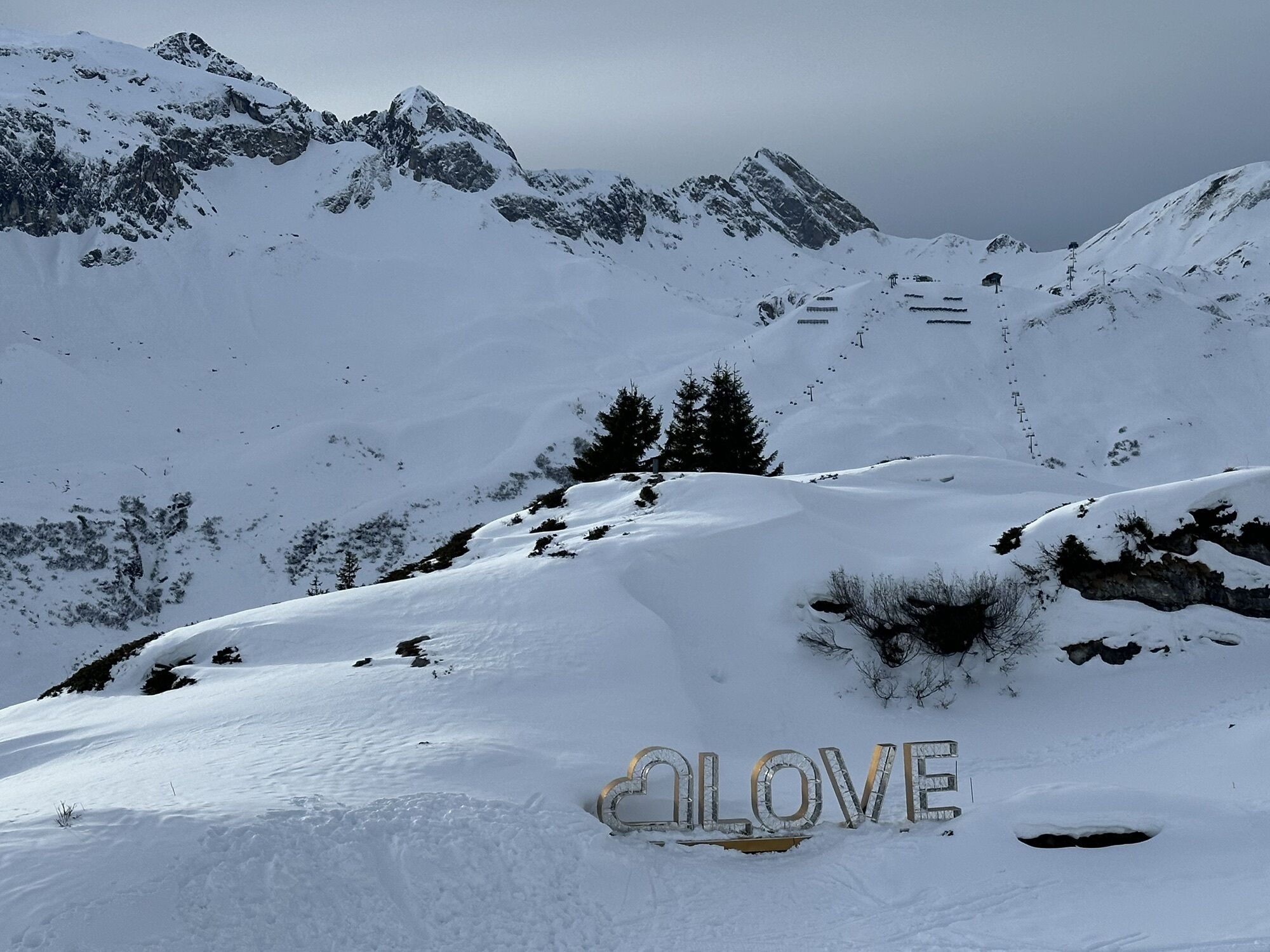
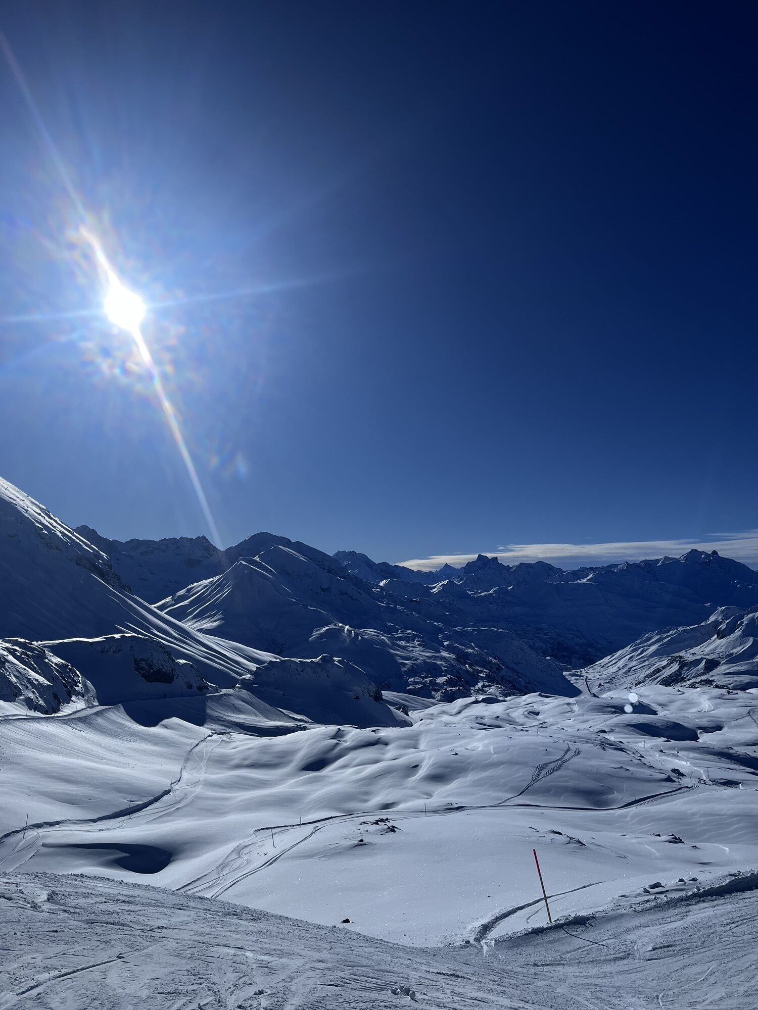
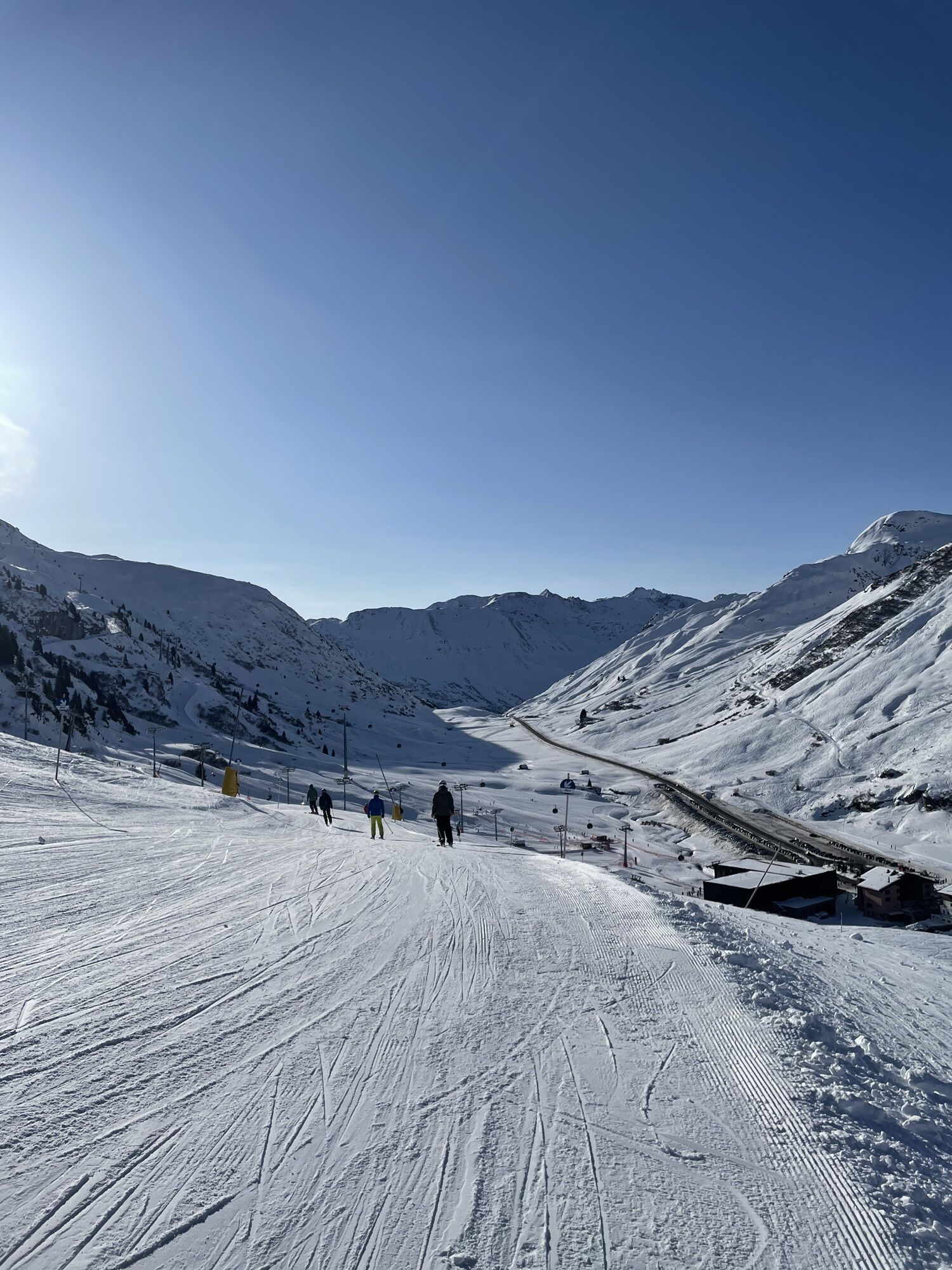
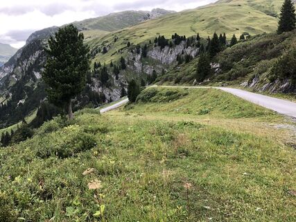
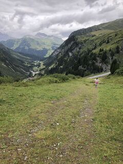
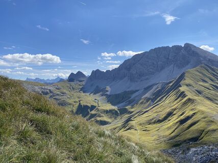
From the starting point Dorfhus you go to the Rüfikopf cable car and with the gondola directly up to the Rüfikopf. Now it goes the alp way down to the signpost, here you take the way left uphill on a yoke....
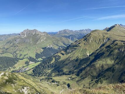
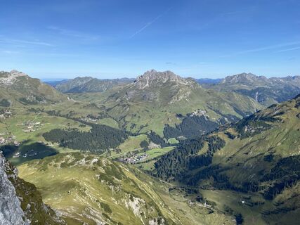
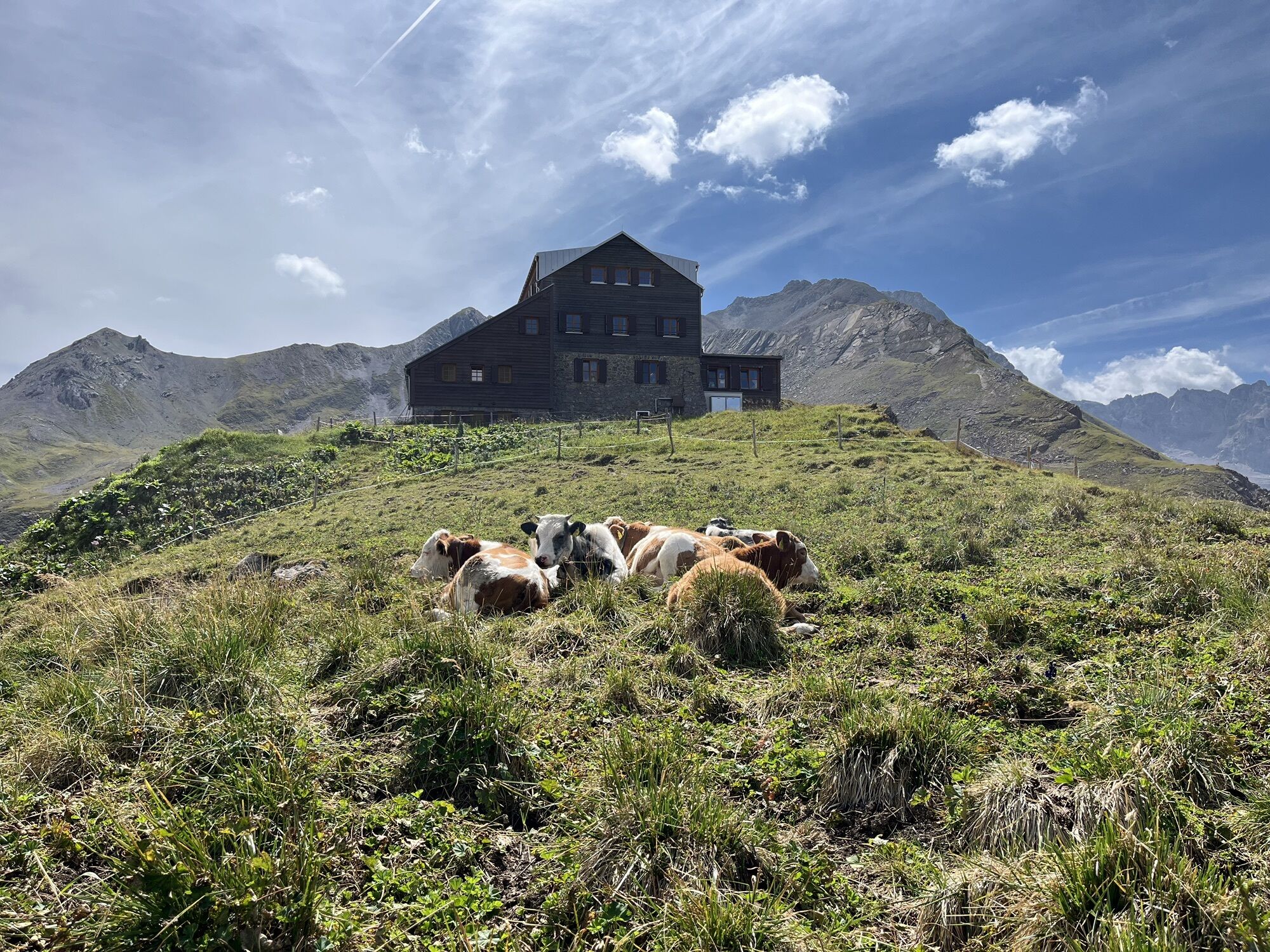
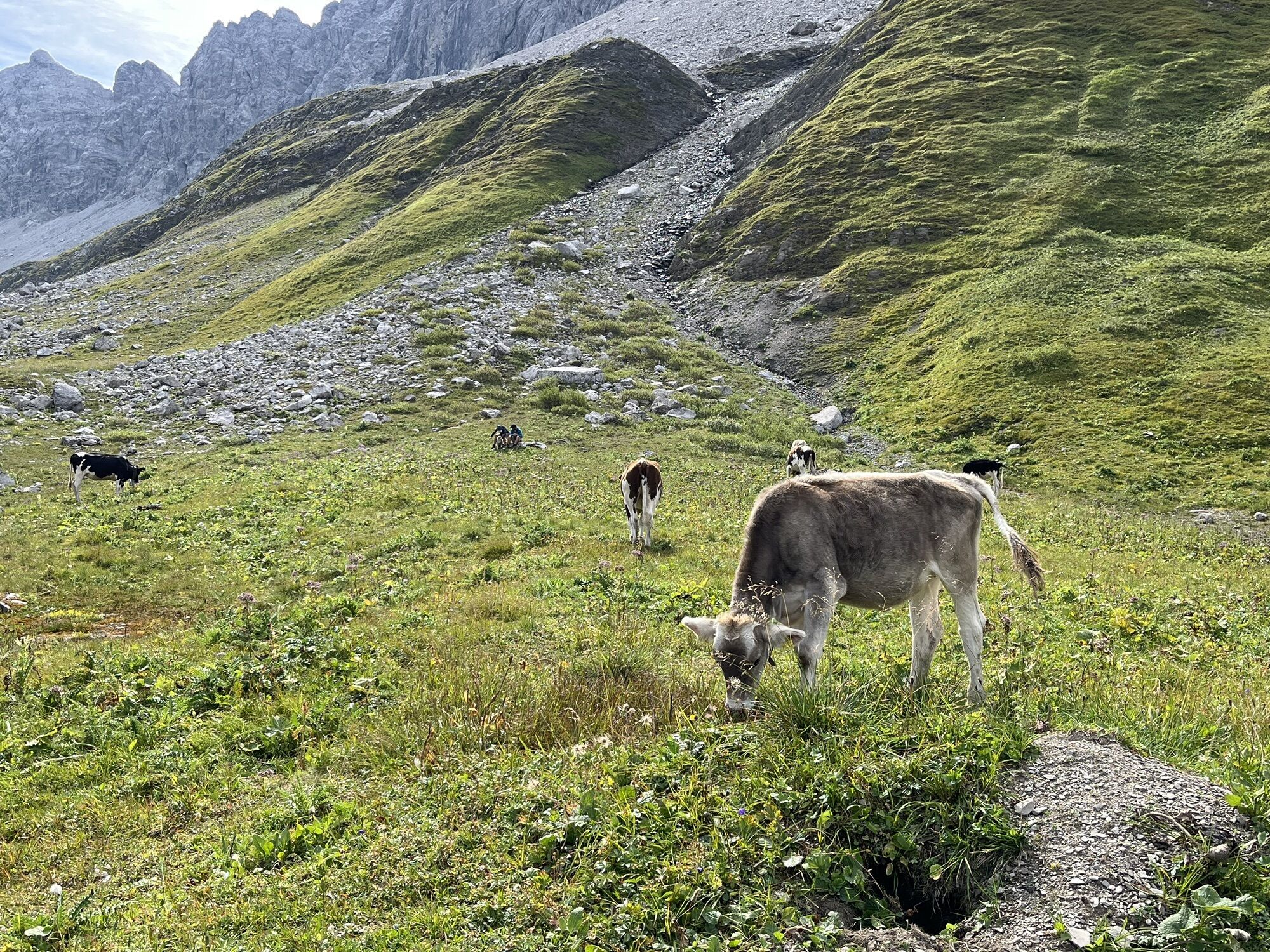
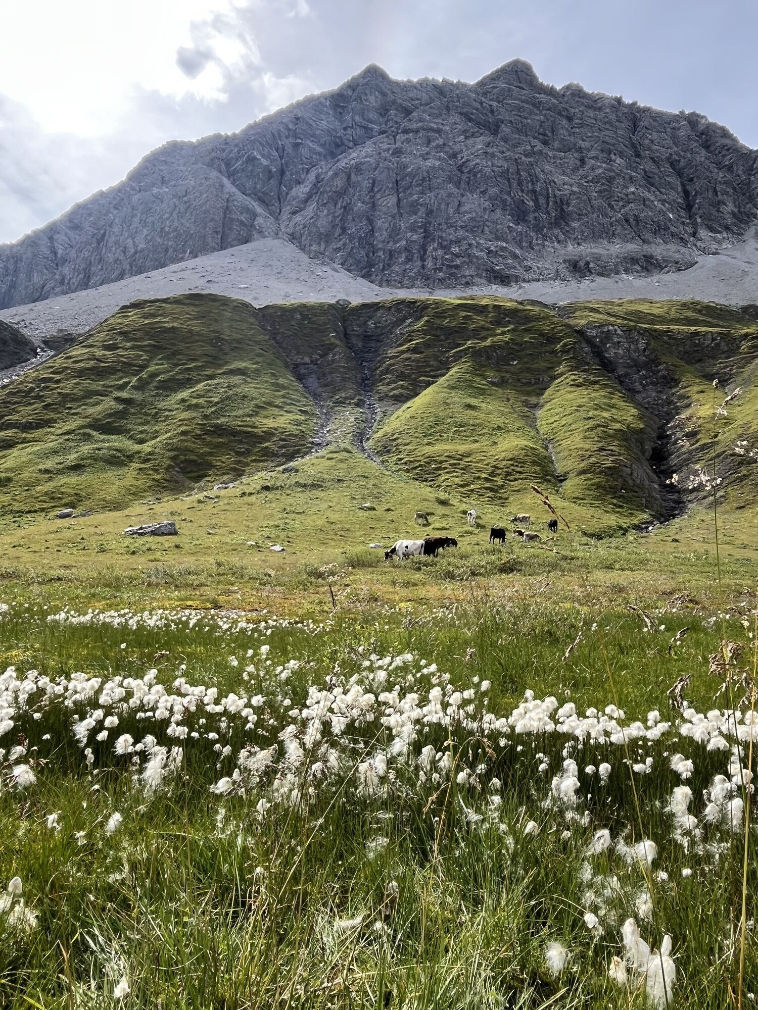
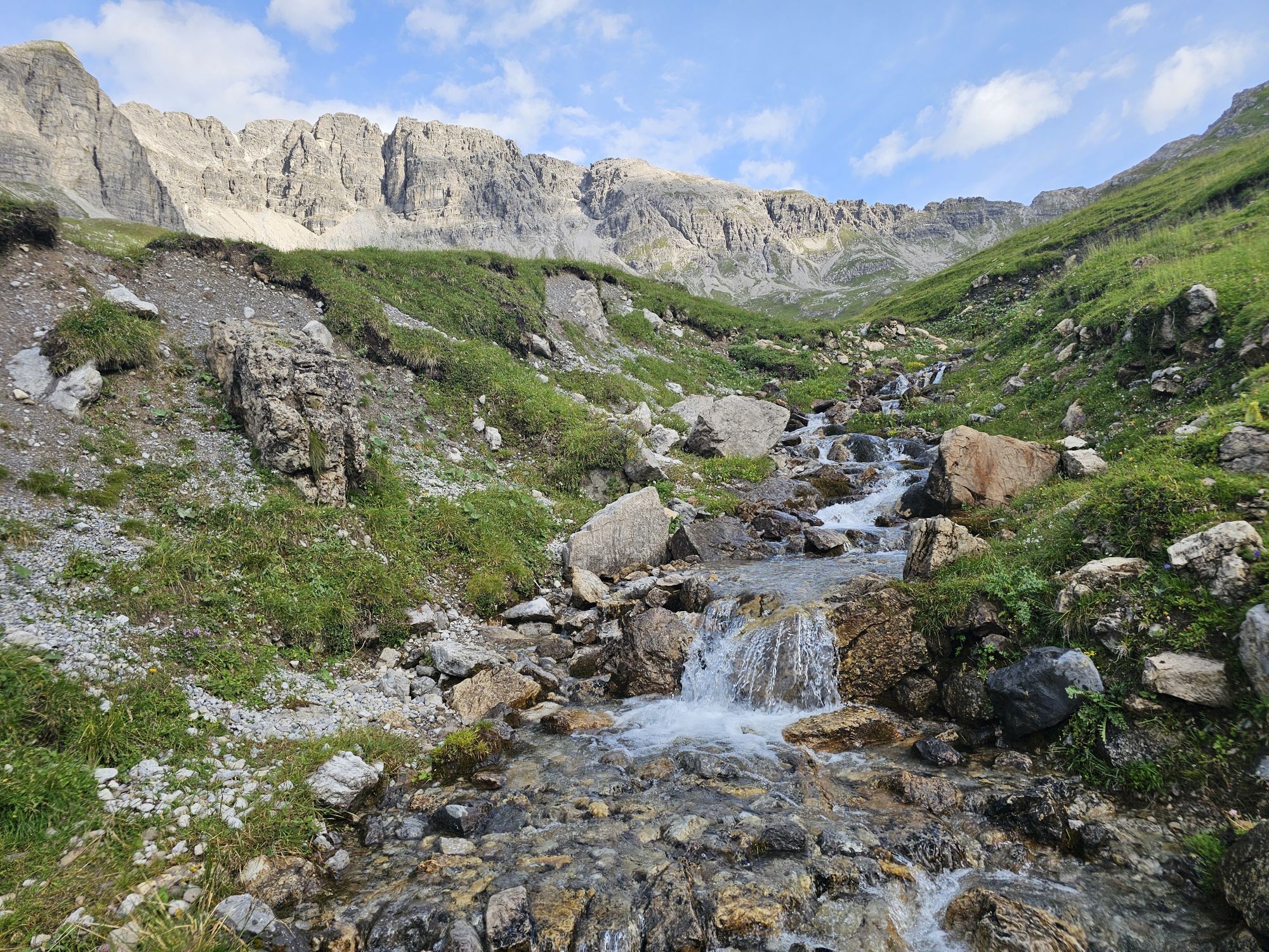
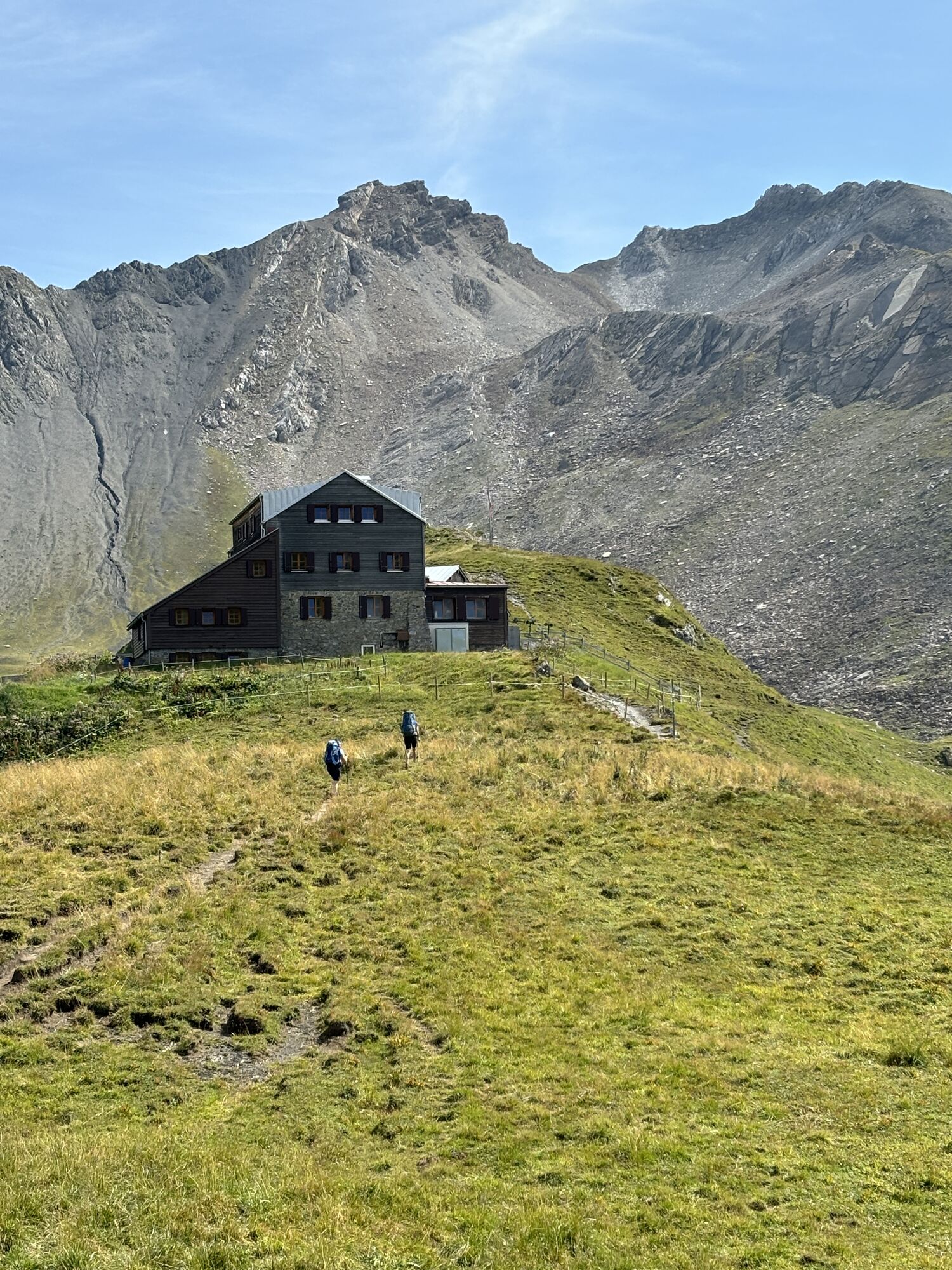
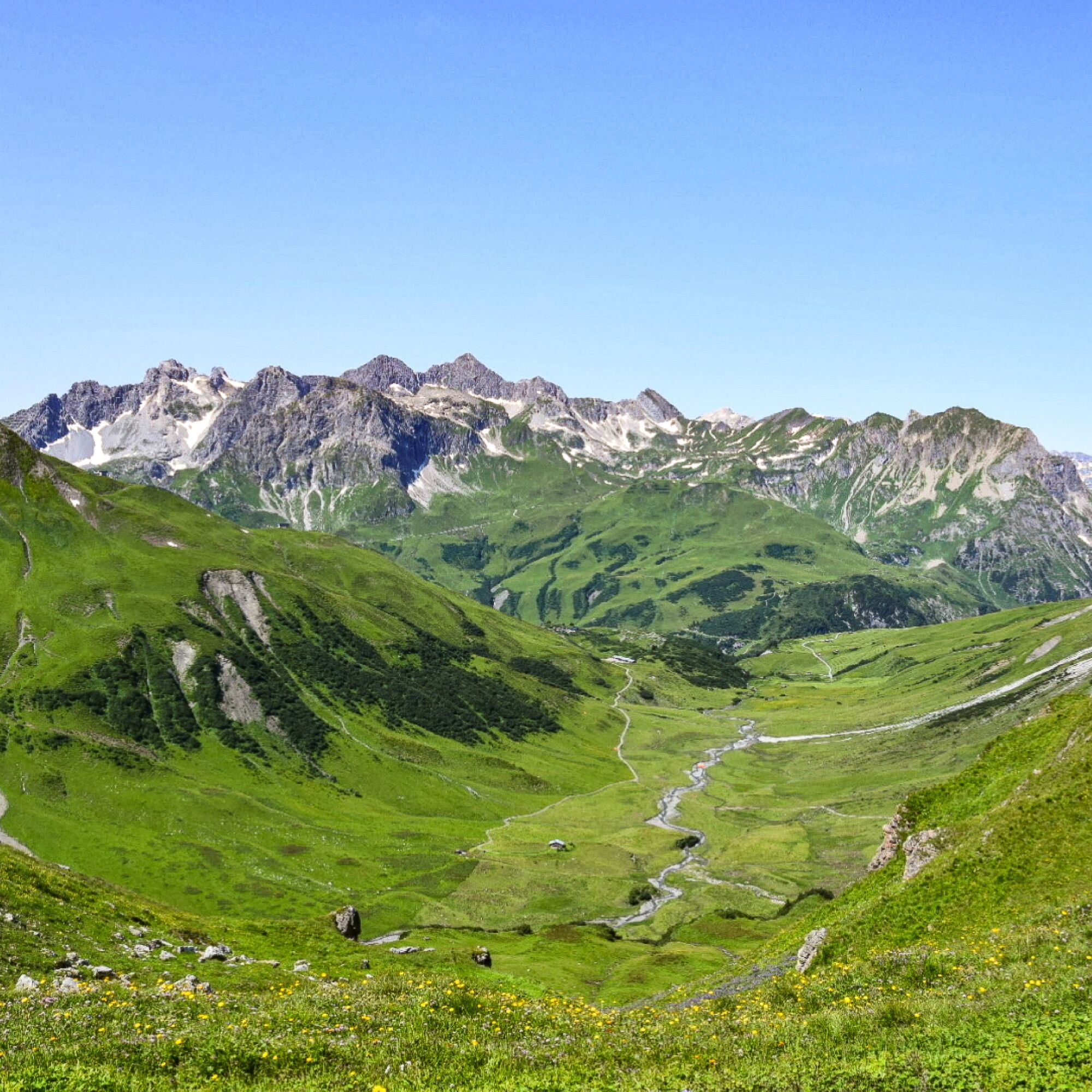
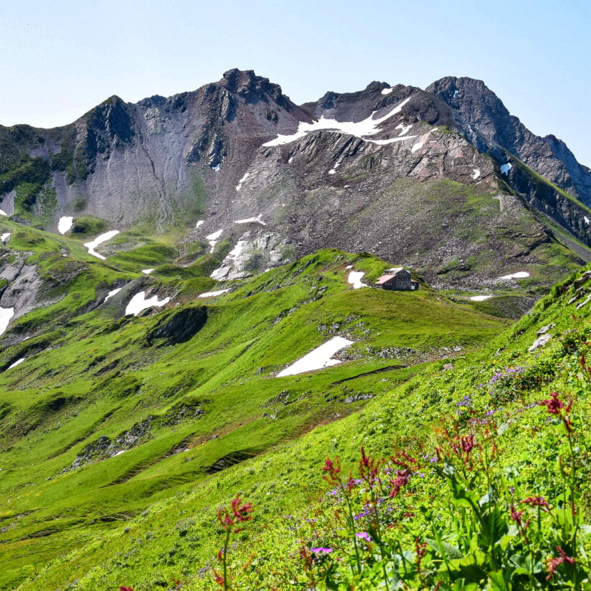
From the starting point Dorfhus you go to the Rüfikopf cable car and with the gondola directly up to the Rüfikopf. Now it goes the alp way down to the signpost, here you take the way left uphill on a yoke. Steep downhill to the Ochsengümpel. From here turn right until you reach the Rauhekopfscharte at a fork in the road on the right. You will reach the Stuttgarter Hütte, where you can stop and rest. Now you go downhill and reach the torrent and soon the Paziel valley. You continue to the Trittalpe and soon you reach a goods path that leads you downhill to Zürs. Continuing downhill past the mountain church you reach the main road from where the blue hiking bus takes you back to Lech.

Da
Good footwear (ankle high, profile sole), rain protection, Lech Card and bus timetable.
140 Alpine Emergencies Austria-wide
144 Alpine Notfälle Vorarlberg
112 Euro emergency call (works with any mobile phone/network)
From Switzerland: Via the A13 motorway and the Feldkirch, Hohenems or Lustenau border crossing on the A14 motorway to Bludenz. Continue on the S16 until exit Lech Zürs am Arlberg. Follow the B197 up to Alpe Rauz, turn left here onto the B198 through Flexengalerie and over the Flexenpass to Lech Zürs am Arlberg.
From Austria: Via the Inntalautobahn A12 and then via the S16 to the exit St. Anton am Arlberg (Arlberg Pass). Follow the B197 first through St. Anton, then through St. Christoph and over the Arlbergpass to Alpe Rauz. Turn right here onto the B198, drive through Flexengalerie and over the Flexenpass to Lech Zürs am Arlberg.
You can either park your vehicle directly at your host’s property or use the Anger underground parking garage. The garage is located right in the town center, across from the Dorfhus Lech. The garage is open 24 hours a day. The service station is open from 8:00 AM to 5:00 PM. Cash payments are not accepted.
T2
Sights: Bergkirche Zürs – this mountain church is a religious building of several storeys towers above visitors like a castle. And, like a donjon, the three-storey tower symbolizes the significance of the church, which is additionally marked with a red cross.
Stuttgarter Hütte: The menu features both Austrian classics and Nepalese dishes.
Refreshment stops: Panorama restaurant Rüfikopf, Stuttgarter hut, Trittalpe, Hotel Enzian and restaurants in Lech am Arlberg.

Spletne kamere s turneje
Pridobite vpogled
Vedno v živo na mestu z več kot 9.500 spletnimi kamerami. bergfex Kot uporabnik Pro si lahko zdaj ogledate ustrezne spletne kamere za številne izlete v aplikaciji izleti iz. Tako si lahko neposredno ogledate trenutne razmere.
Priljubljeni izleti v okolici
-
4.4
Circular hike through the Bärgunttal
srednjaPohodništvo 4.75 km -
4.7
Widderstein Runde von Baad
srednjaPohodništvo 15.8 km -
4.8
Biberkopf
težkoPohodništvo 7.70 km -
4.4
Circular hike through the Derratal
srednjaPohodništvo 8.11 km -
4.9
Schöne Rundtour vom Fellhornbahn Parkplatz
srednjaPohodništvo 29.0 km -
4.8
Circular hike through the Gemsteltal
svetlobaPohodništvo 5.53 km -
4.4
St Anton zur Darmstädter Hütte
težkoMountainbike 28.4 km -
4.0
Stuben - Stubner See - Kaltenberghütte - Stuben
srednjaPohodništvo 9.90 km -
4.9
Braunarlspitze
težkoPohodništvo 16.6 km -
4.8
Mountain route to the Fiderepass hut
težkoPohodništvo 12.8 km

Pohodništvo in sledenje


Ne zamudite ponudb in navdiha za naslednje počitnice
Vaš e-poštni naslov je bil dodan na poštni seznam.





