







Vandans Golmerbahn - Rellstal - Heinrich Hueter Hut
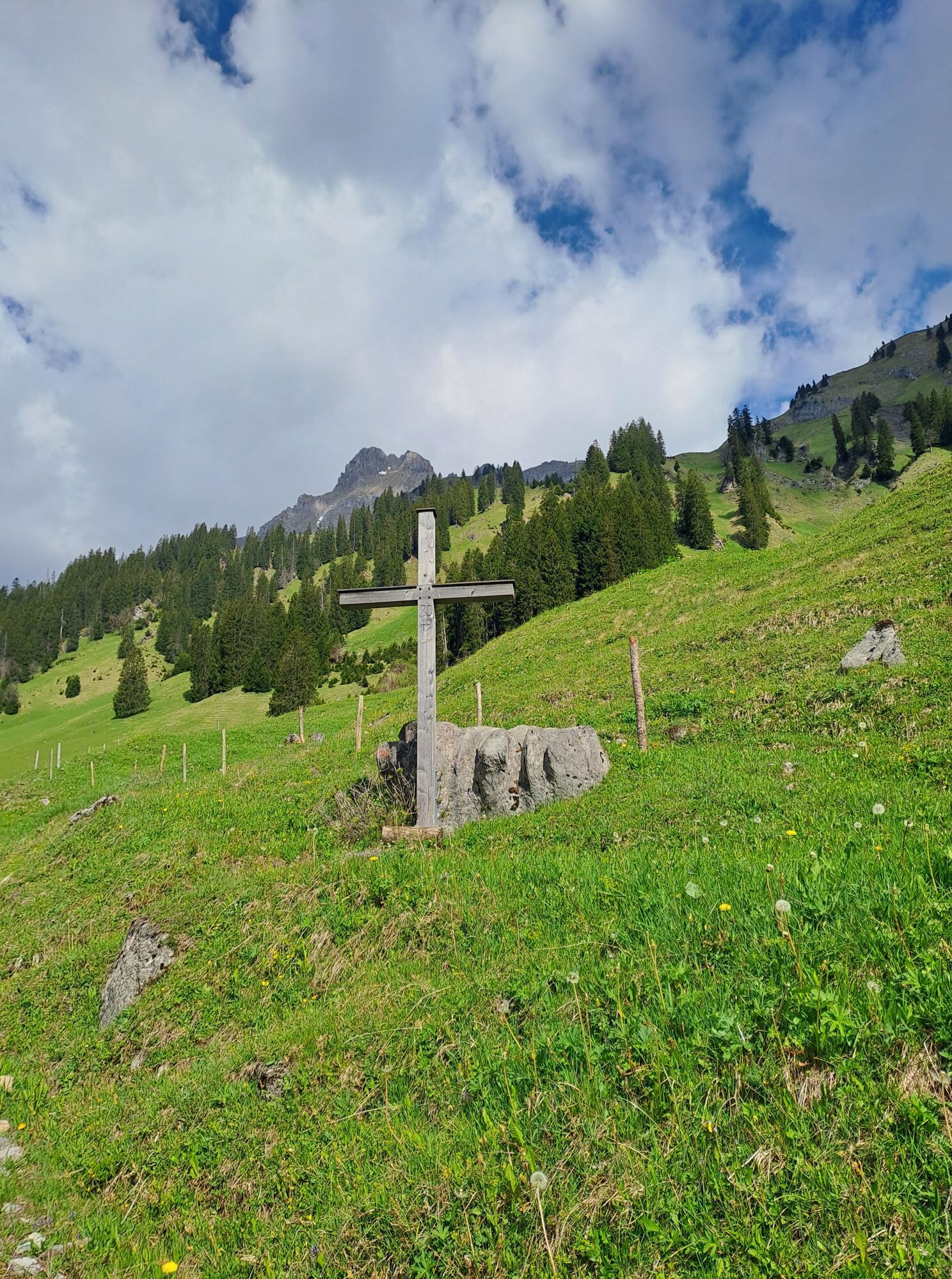
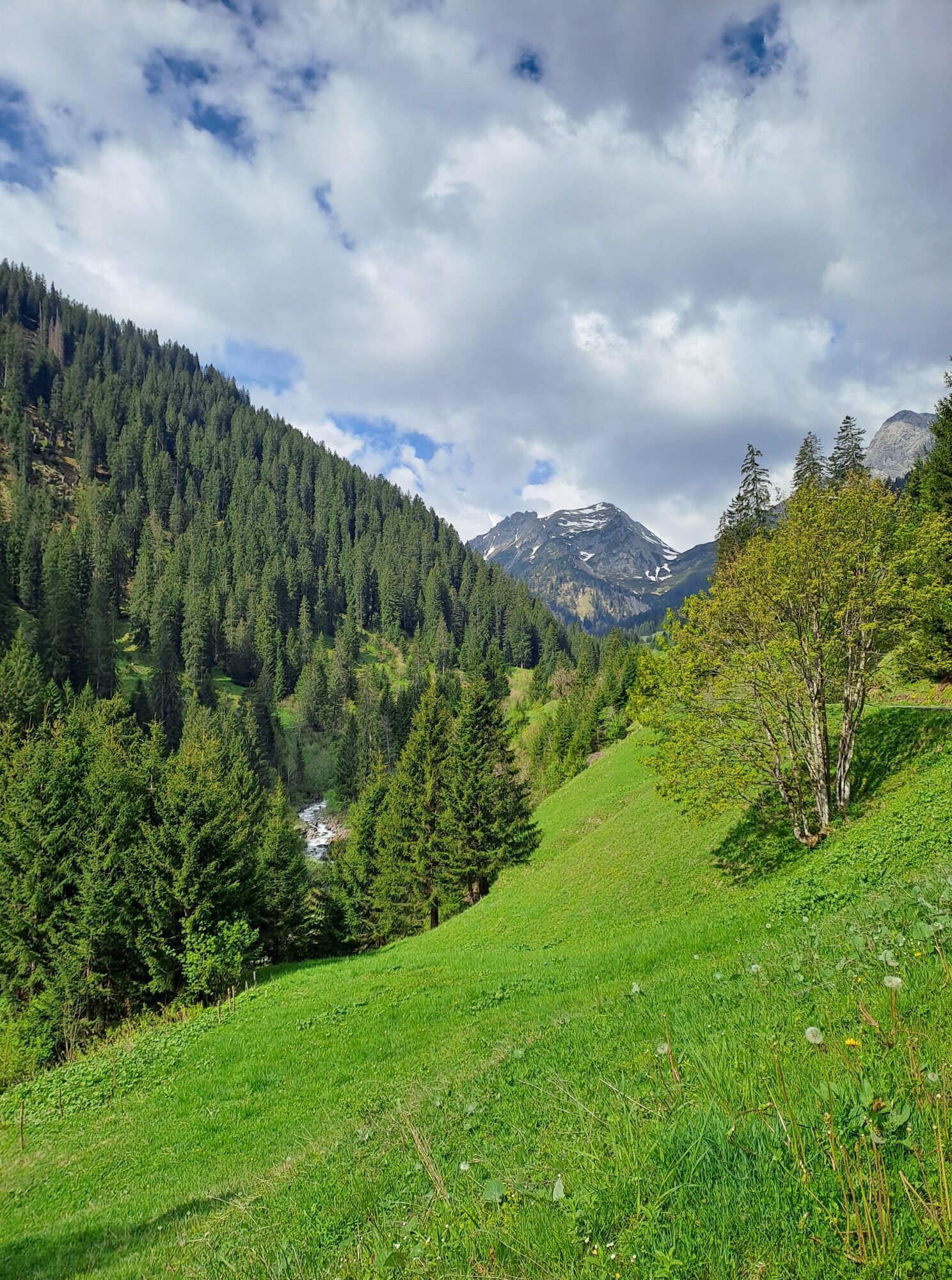
Vandans Golmerbahn - Lende - Stream Path - Rellstal Chapel - Heinrich Hueter Hut

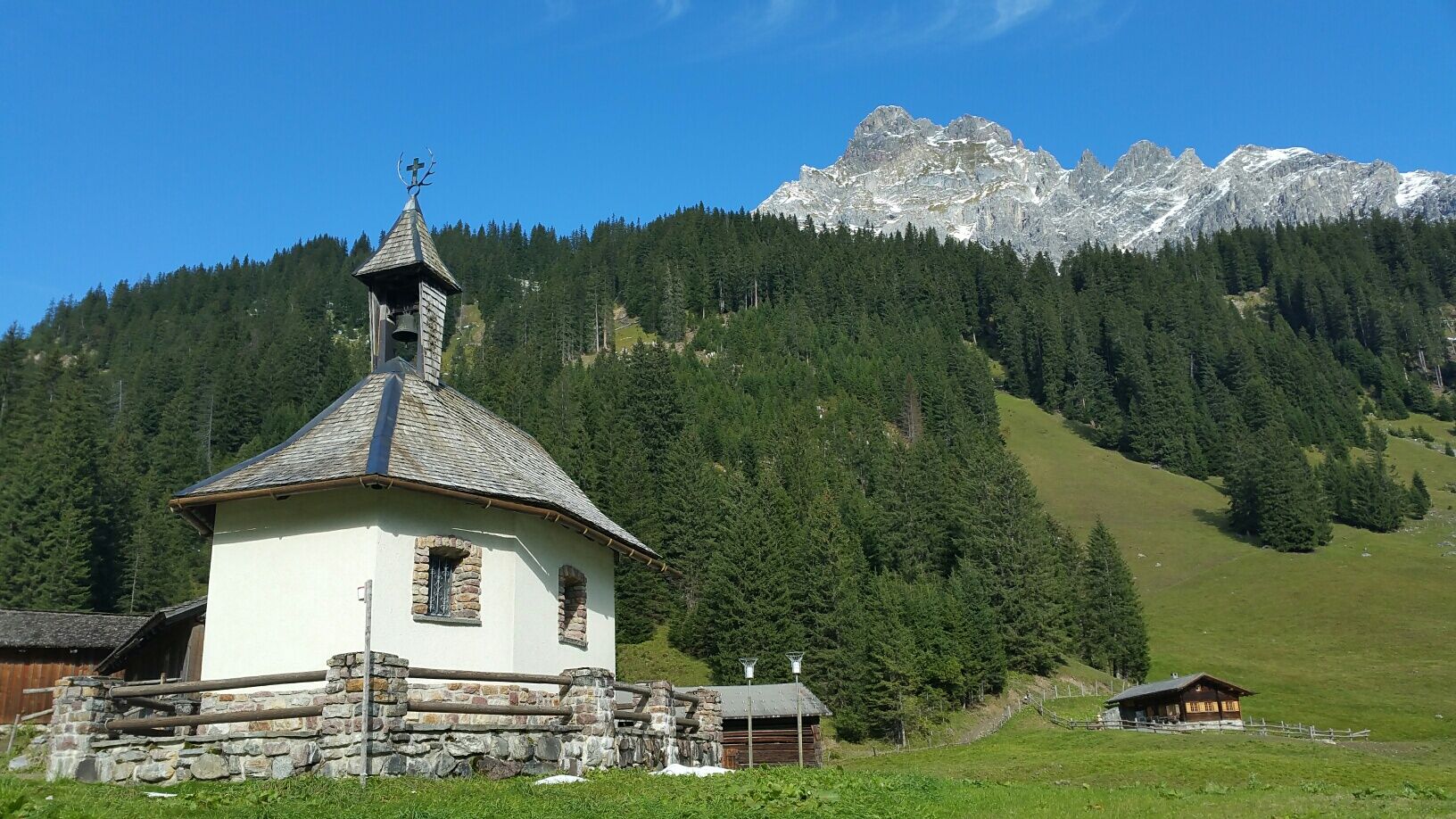
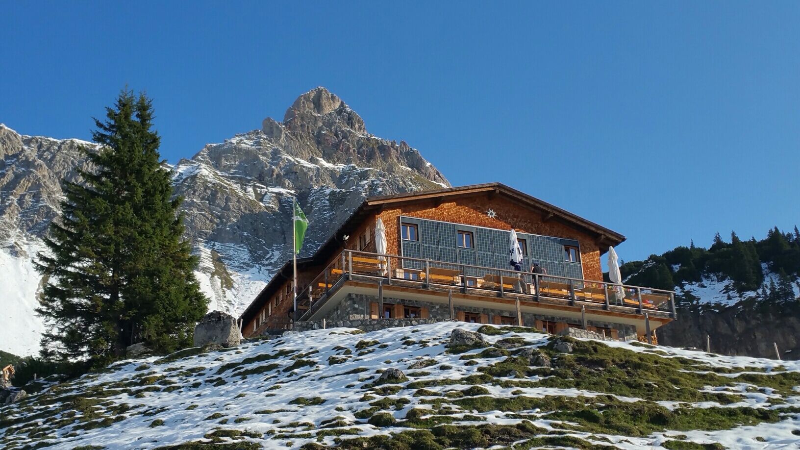
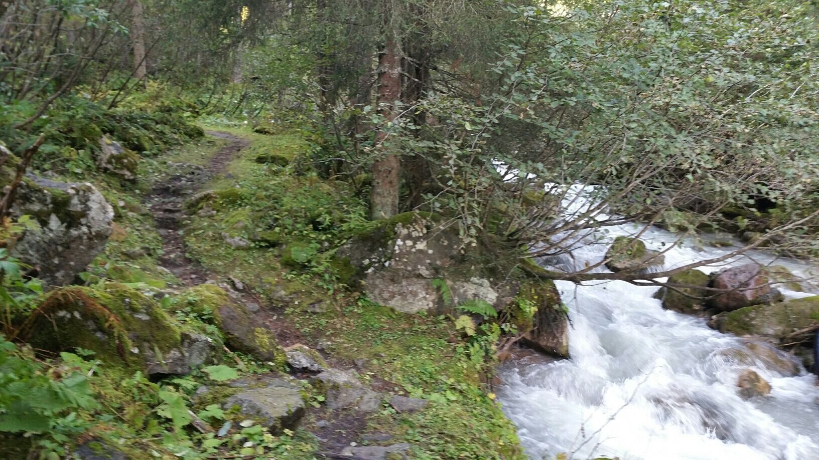
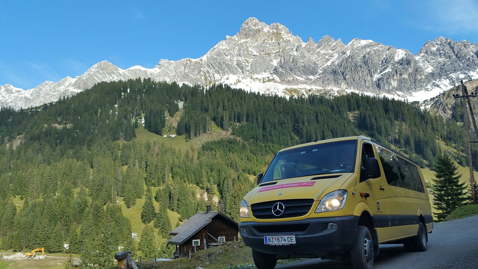
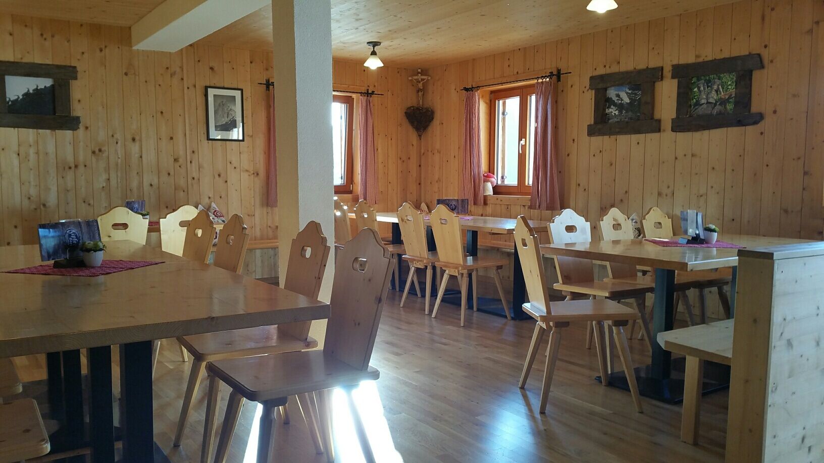
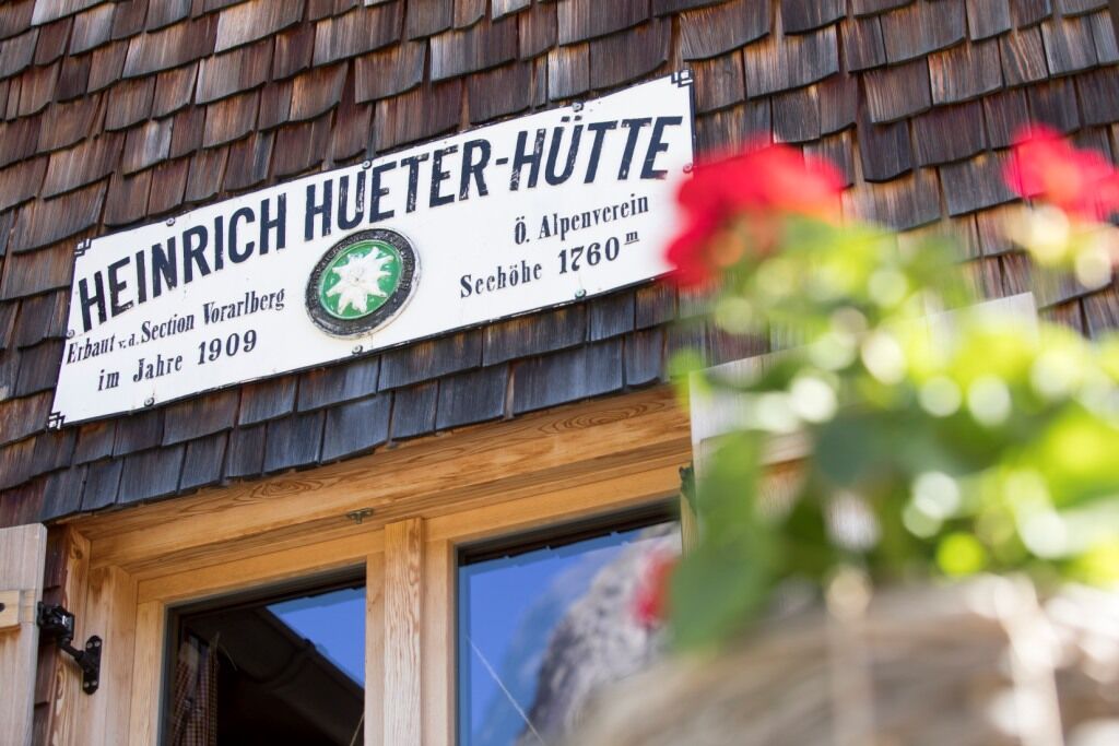
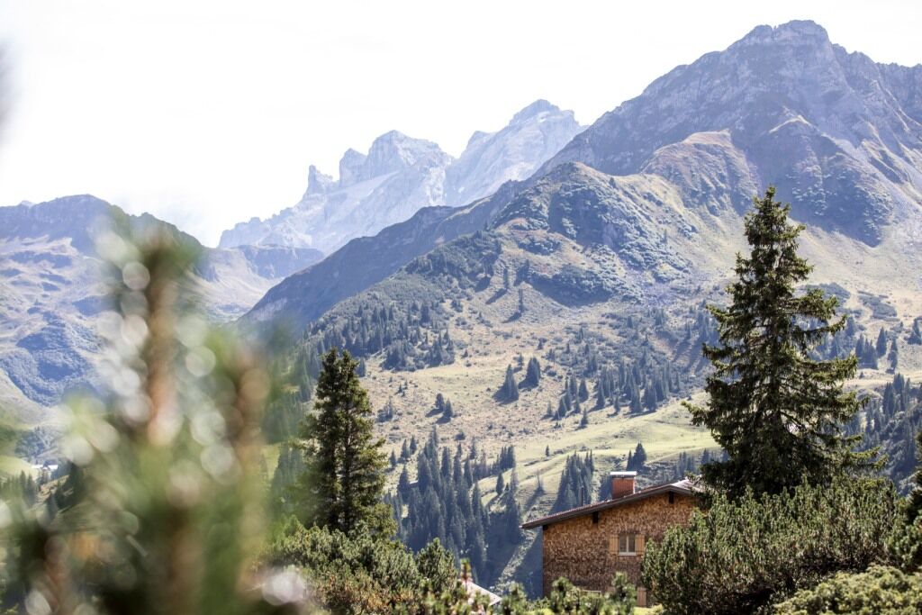
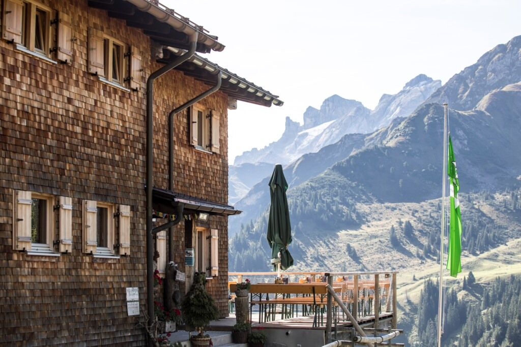
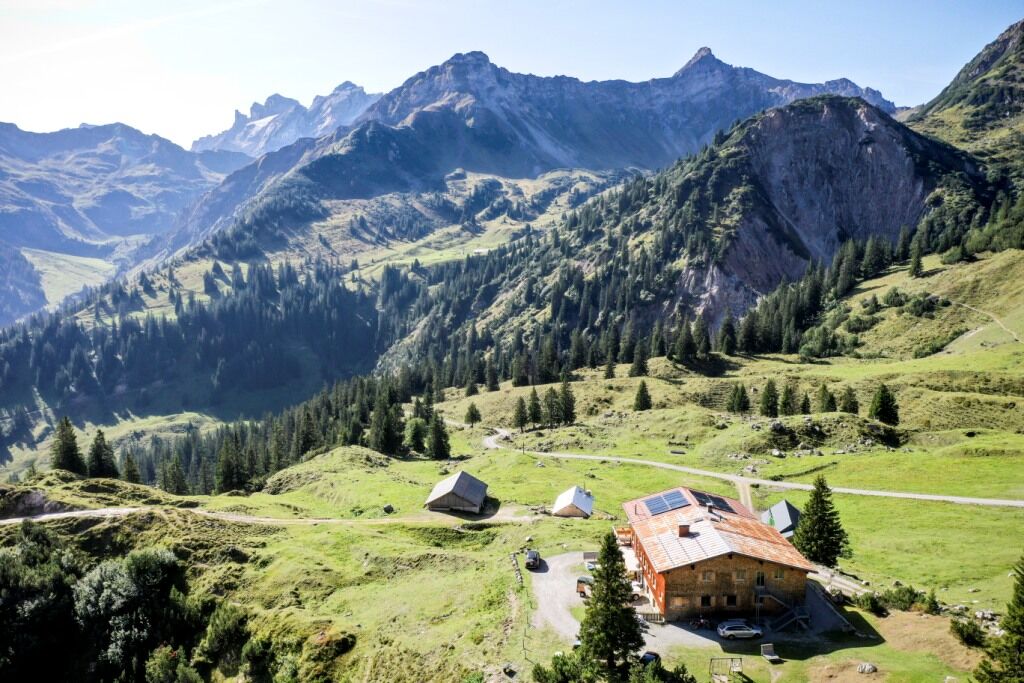
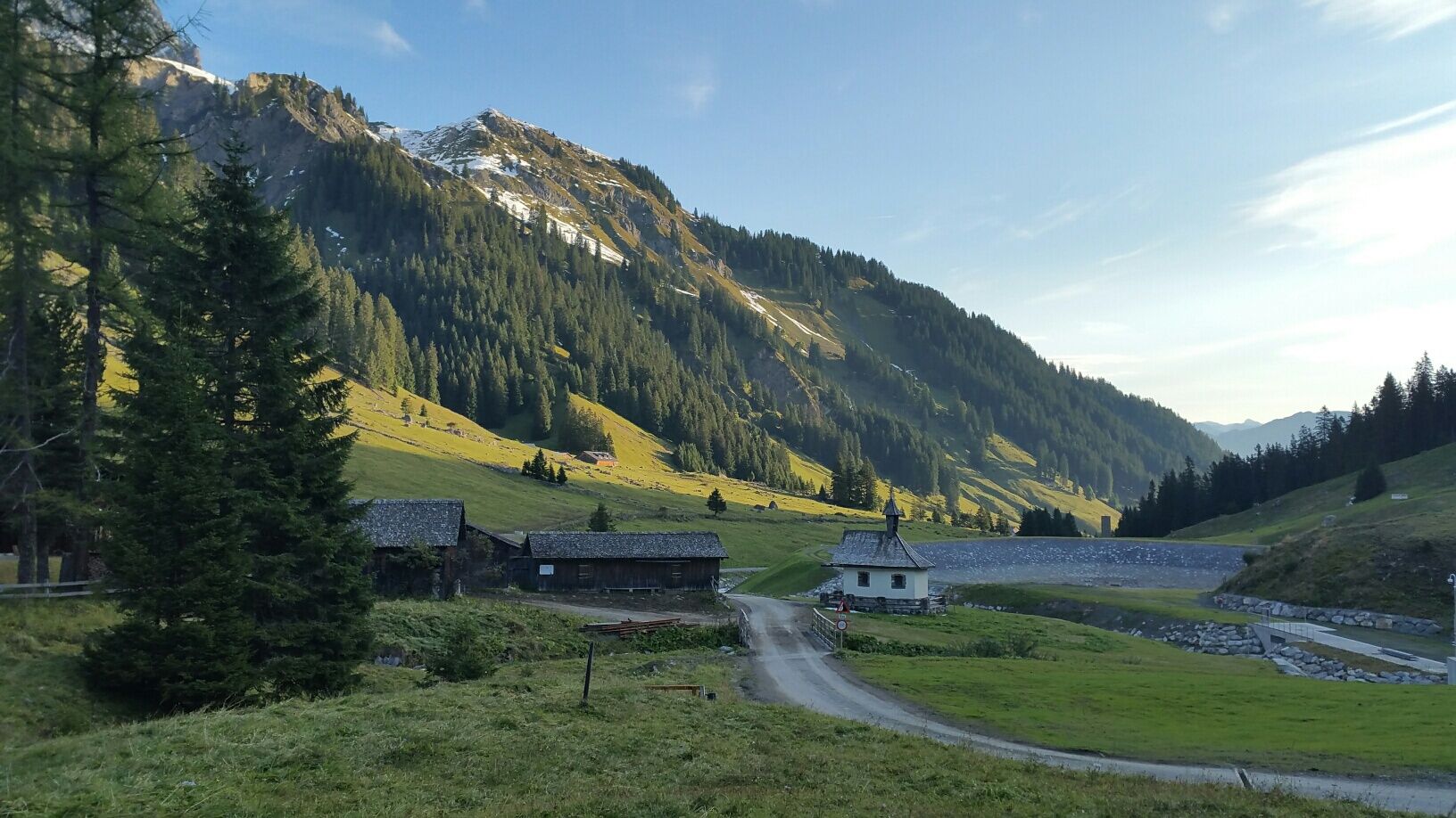

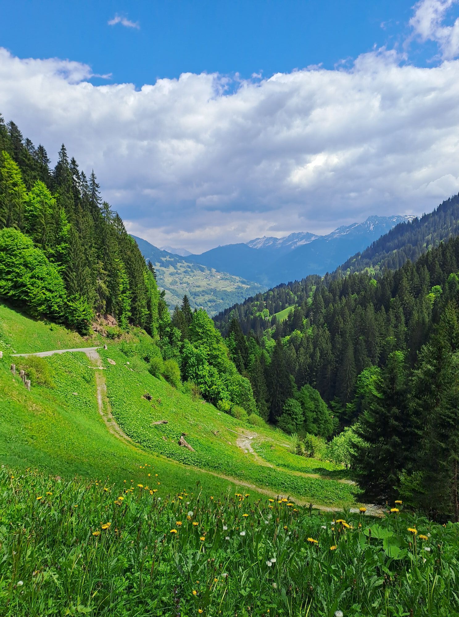
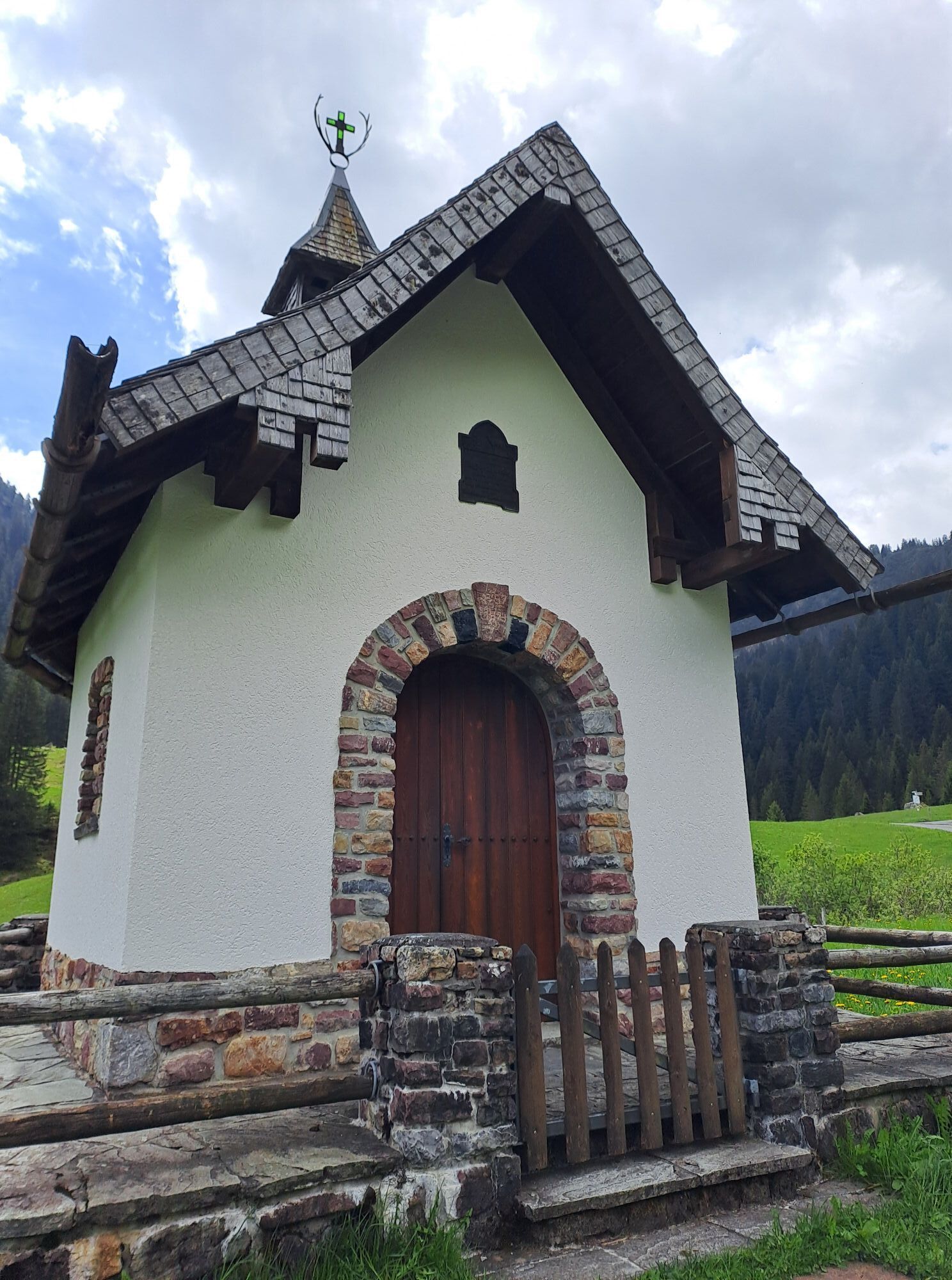
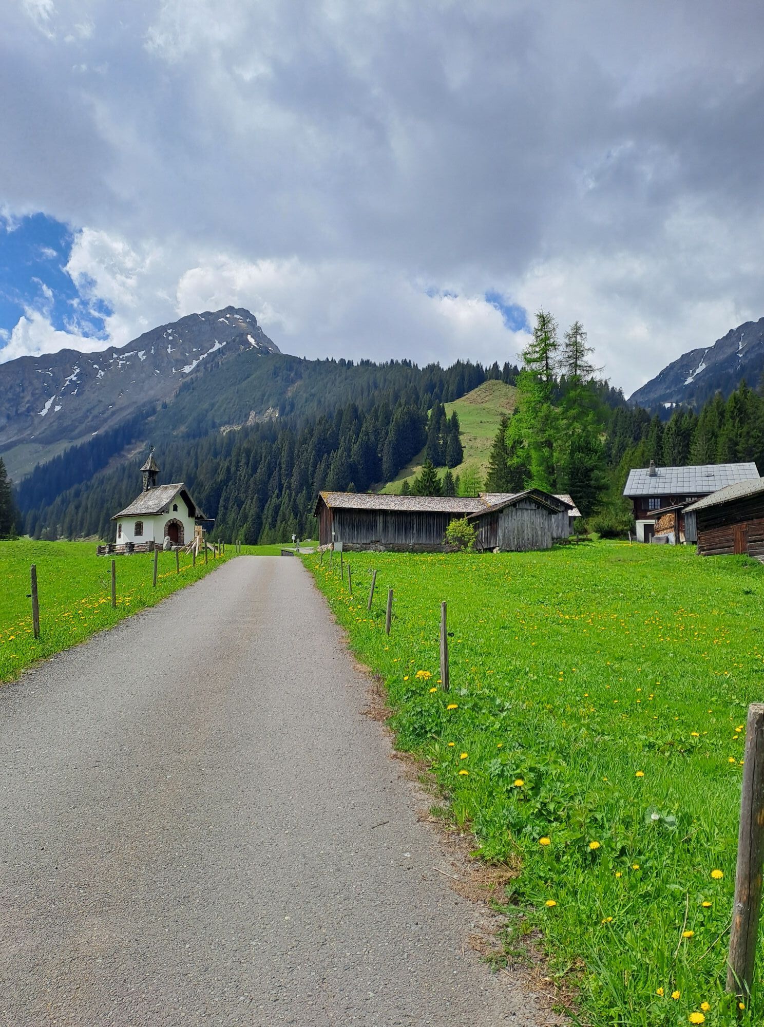
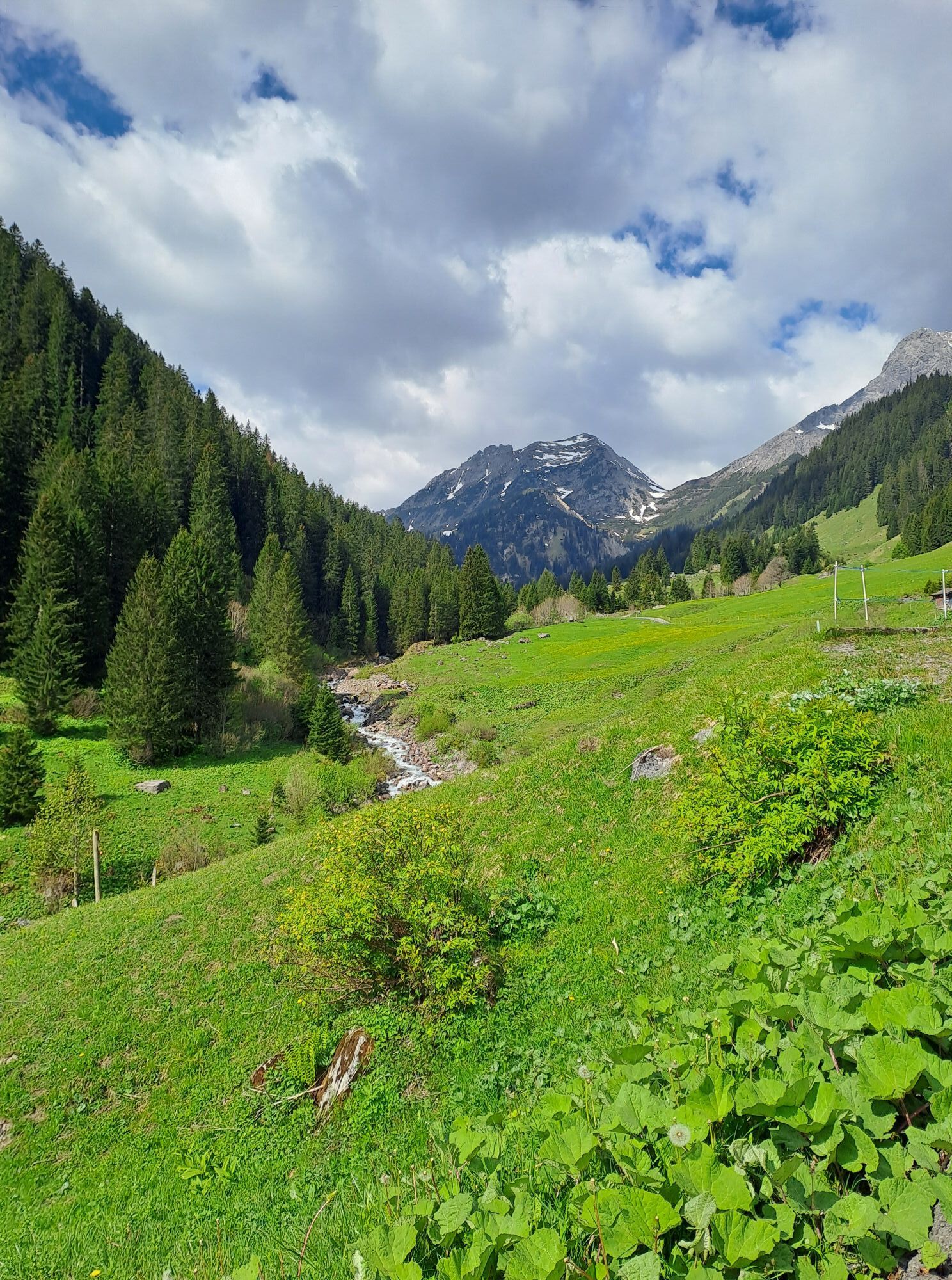
From the base station of the Golmerbahn, the path leads along the Rellsbach stream to the entrance of the Rellstal - the Lende (parking lot). From here, a partly quite steep, narrow trail leads upstream on the left side. On the way into the Rellstal, one repeatedly crosses small tributaries to the Rellsbach. The path partly runs through very beautiful mixed forest, partly spruce forest. Beautiful views open up repeatedly towards Zimba and Saulakopf. After about three hours, you reach the Rellstal with the beautiful Rellser Mariahilf Chapel. The Rellstal hiking bus also goes this far. From here, you reach the Heinrich Hueter Hut in about one hour via a service road (mostly you walk on trails alongside the road).
Da
European emergency number 112 (works with any mobile/ network)
www.vorarlberg.travel/sicherheitstipps
Take the A14 to the Bludenz/Montafon exit and continue on the Montafonerstraße L188. Turn right at Hosensee towards Golmerbahn Vandans.
Just leave your car standing
The regional buses of the Montafonerbahn operate throughout the Montafon. The main lines run every half hour from Schruns station.
Bus stop at the start/finish of the route: Vandans Golmerbahn / S4 (Montafonerbahn), line 621, line 622, line 623, line 641
Schedule: www.vmobil.at
Arrival by train to Montafon
From Bludenz station, the Montafonerbahn runs hourly (sometimes every half hour). There are also direct connections from Lindau (D) and from Bregenz.
Schedule: www.oebb.at
Directly at the base station of the Golmerbahn
The route can be shortened by using the Rellstal hiking bus. You can find all information at www.montafon.at/wanderbus
The Rellser Mariahilf Chapel is a very beautiful photo motif. It is very nice to take the Rellstal bus to Rellstal, continue to the Heinrich Hueter Hut, and return via the Rellsbach trail to Vandans.
Starting point parking lot Lende

Spletne kamere s turneje
-
Grüneck Bergstation
-
Matschwitz Mittelstation
-
Palüdbahn Talstation
-
Hotel Zimba in Brand
-
Sücka Schlepplift Talstation
-
Berghof Golm
-
Golm - Matschwitz
-
Golm - Hüttenkopfbahn
-
Golm - Rätikonbahn
-
Bartholomäberg
-
Lünersee - Douglass Hütte
-
Tschagguns
-
Schruns
-
Bartholomäberg - Ferienhotel Fernblick
-
Hueter Hütte
-
Hueter Hütte
-
Schlepplift Innerbach
-
Bartholomäberg - Ferienhotel Fernblick
-
Bartholomäberg - Ferienhotel Fernblick
-
Bartholomäberg - Ferienhotel Fernblick
Pridobite vpogled
Vedno v živo na mestu z več kot 9.500 spletnimi kamerami. bergfex Kot uporabnik Pro si lahko zdaj ogledate ustrezne spletne kamere za številne izlete v aplikaciji izleti iz. Tako si lahko neposredno ogledate trenutne razmere.
Priljubljeni izleti v okolici
-
5.0
Ski tour to the Lindauer Hut (1,744 m)
svetlobaSmučarska tura 14.0 km -
4.7
Smuggler’s path
srednjaTematska pot 8.60 km -
5.0
Bürs, Bürserschlucht Bürs, Vorarlberg
srednjaPohodništvo 5.31 km -
4.4
Golm-Rundwanderweg im Rätikon
srednjaTematska pot 7.28 km -
4.9
Douglasshütte, Lünersee, Gafalljoch Brand bei Bludenz, Vorarlberg
svetlobaPohodništvo 9.16 km -
4.6
Over the historic mine and Fritzensee to Rellseck
srednjaPohodništvo 7.25 km -
4.3
Golmerbahn Bergstaion Grüneck - Golmer Höhenweg - Geißspitze - Lindauer Hütte - Latschau
srednjaPohodništvo 11.5 km -
4.7
Kristberg - Wasserstubental - Silbertal
svetlobaPohodništvo 13.8 km -
4.2
Mondspitze (Montspitze)
srednjaPohodništvo 7.97 km -
4.8
Douglashütte - Schesaplana
srednjaPohodništvo 7.31 km
Pohodništvo in sledenje


Ne zamudite ponudb in navdiha za naslednje počitnice
Vaš e-poštni naslov je bil dodan na poštni seznam.





