







Flowtrails Trailpark Hochjoch - Trail No. 1 Hubertus Trail
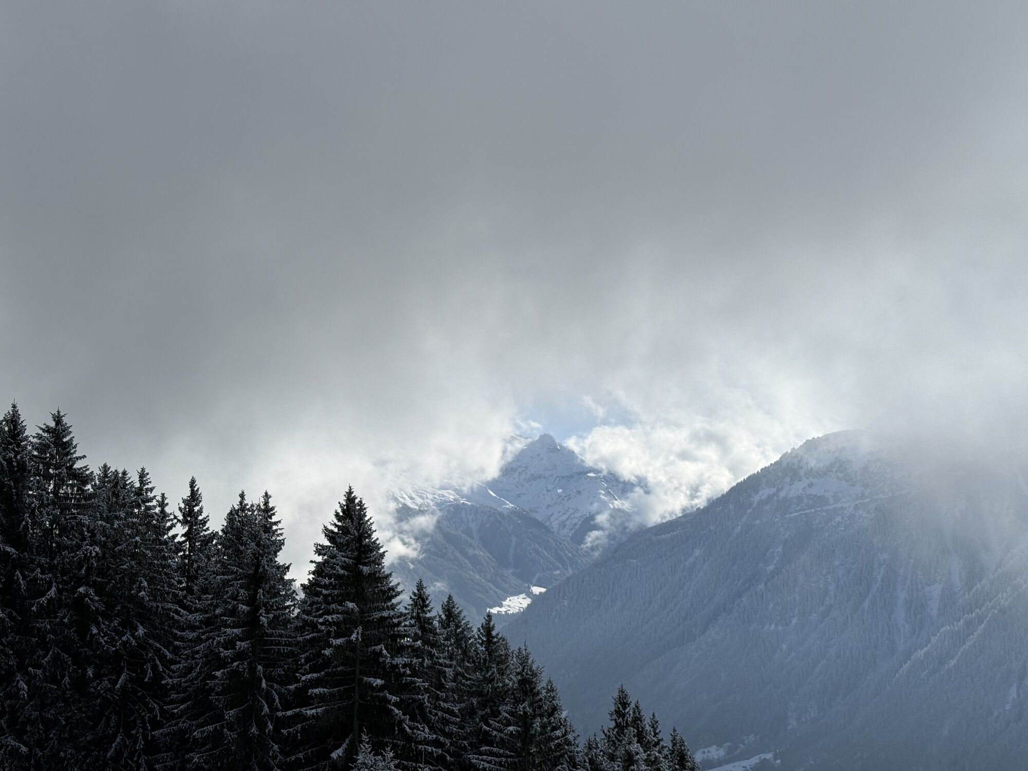
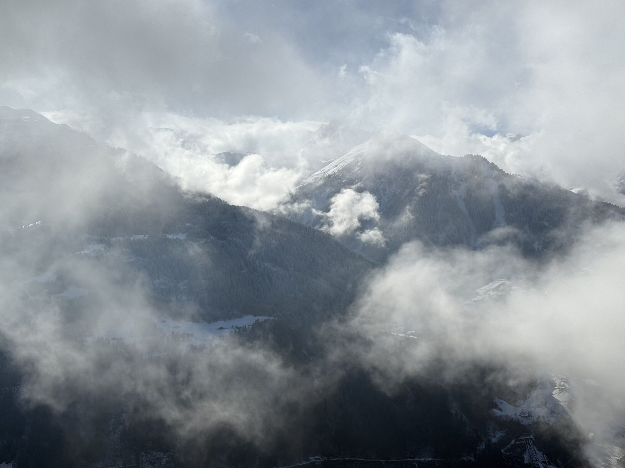
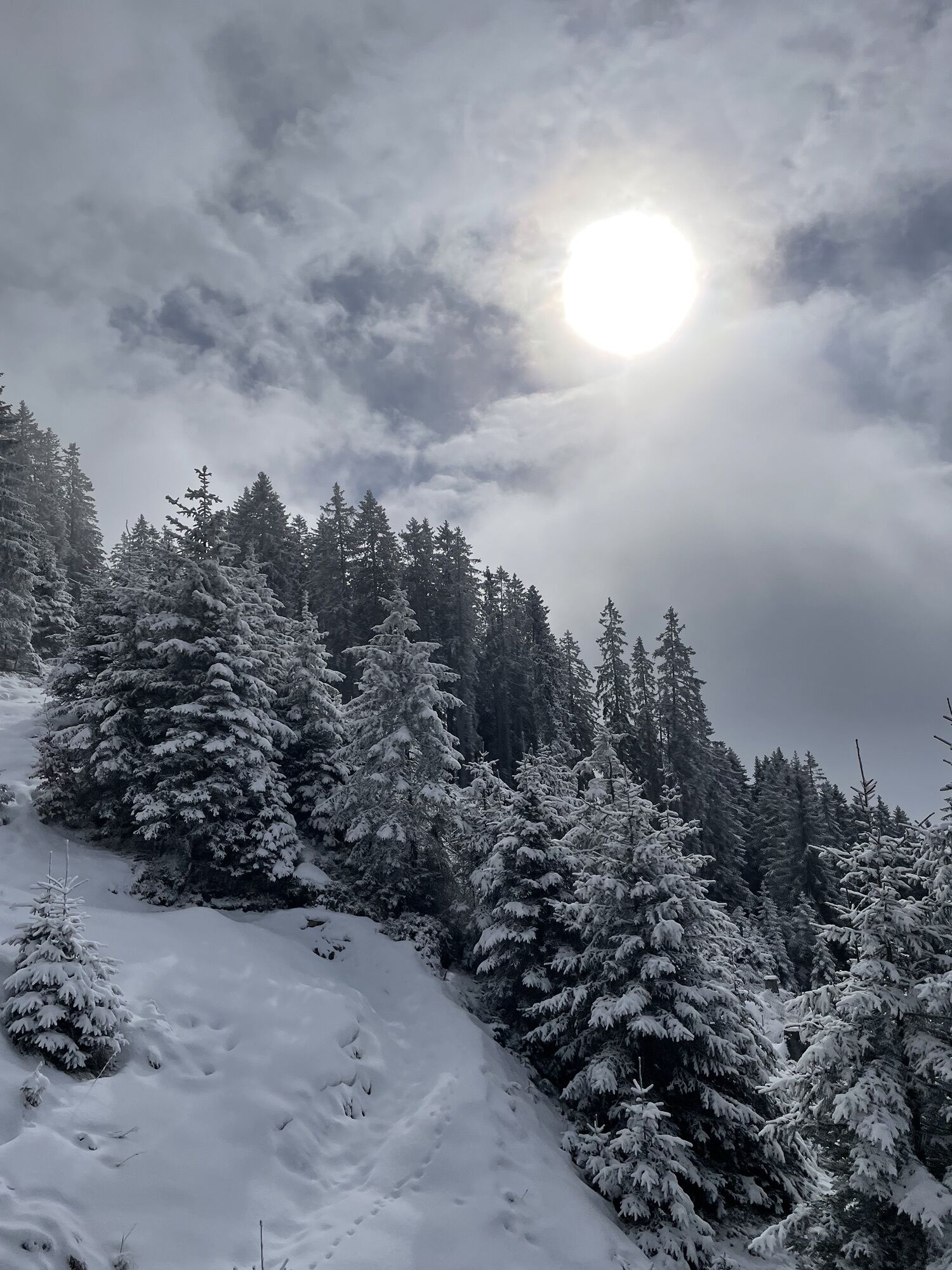
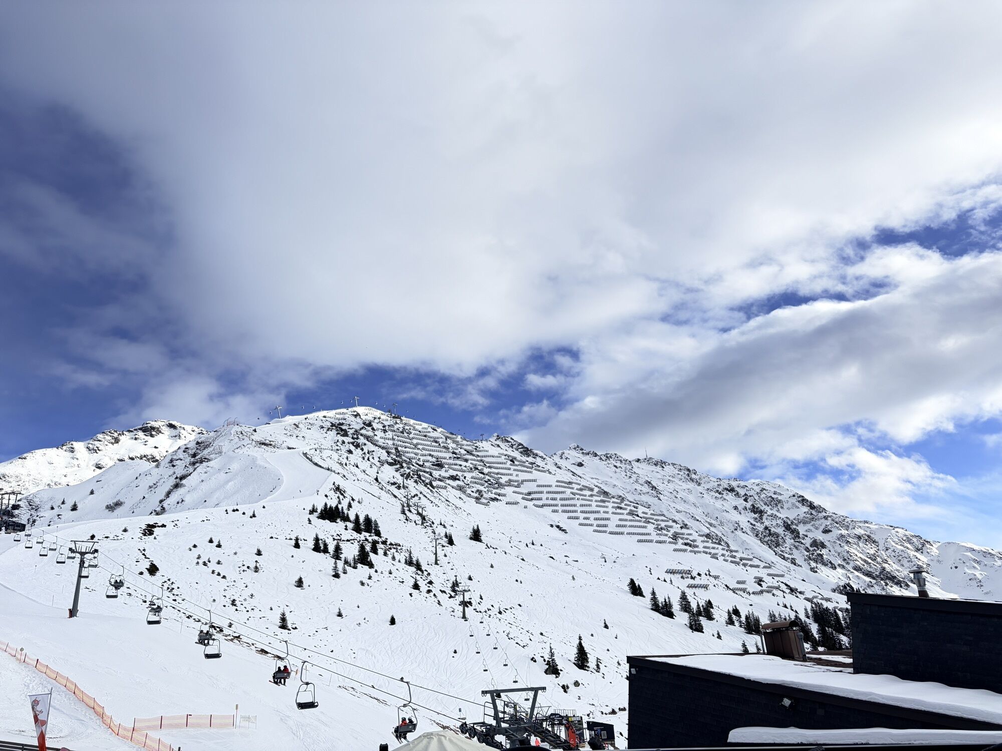
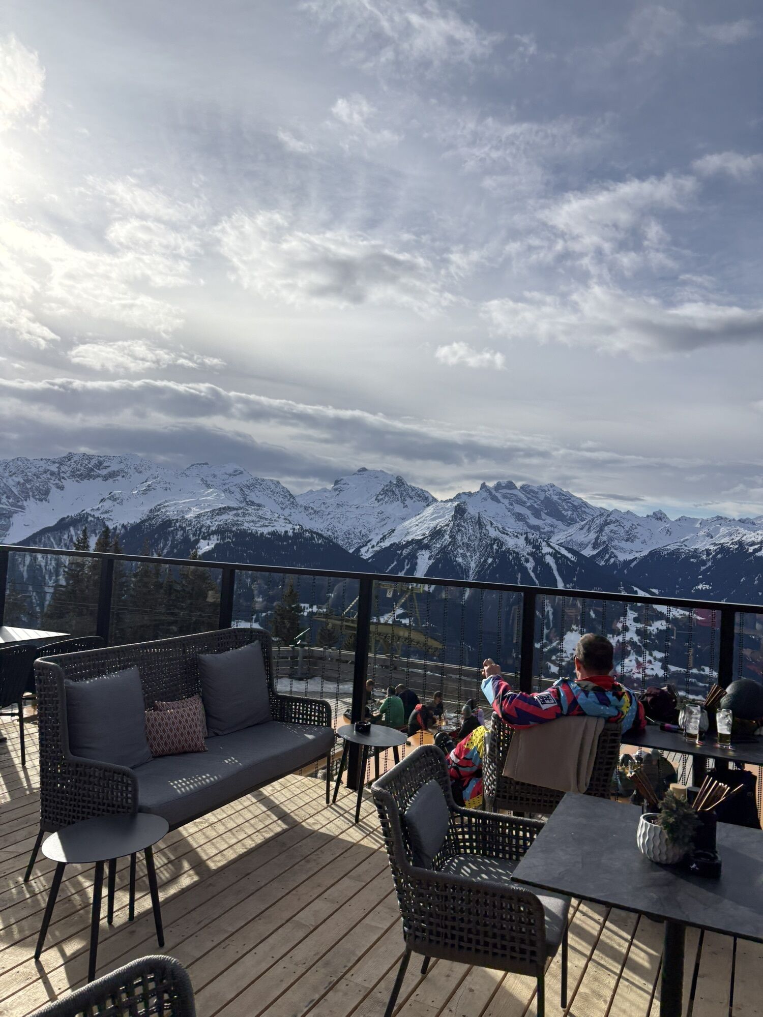
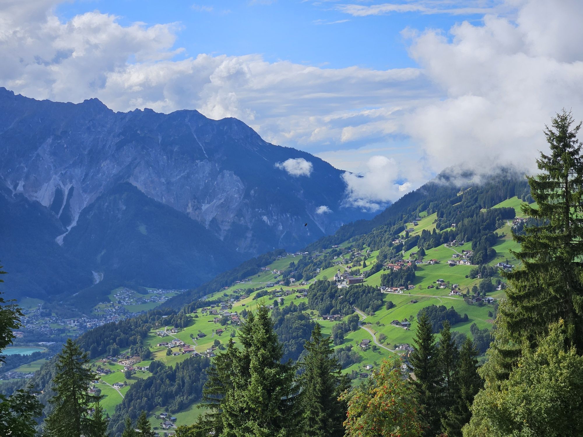
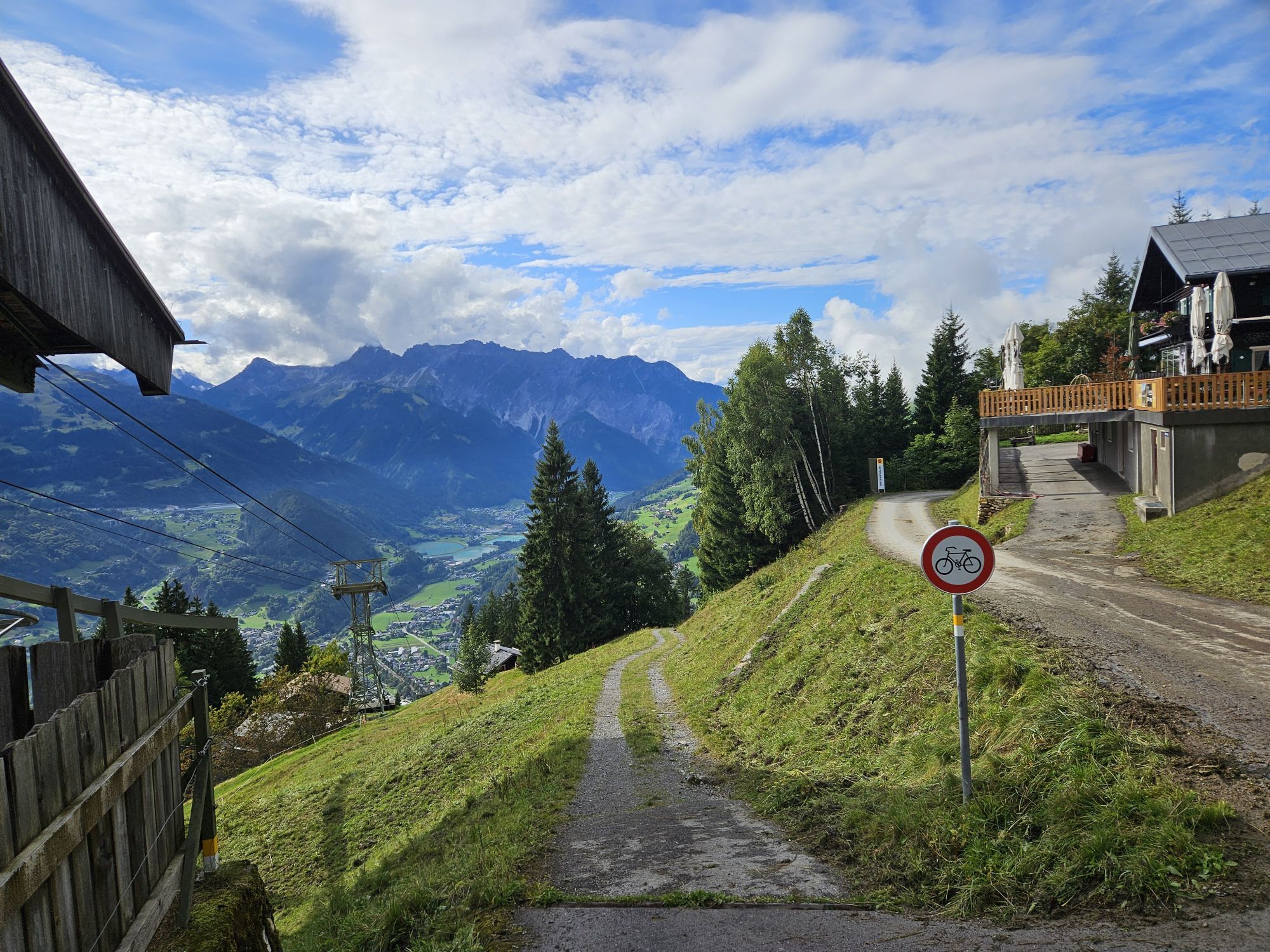
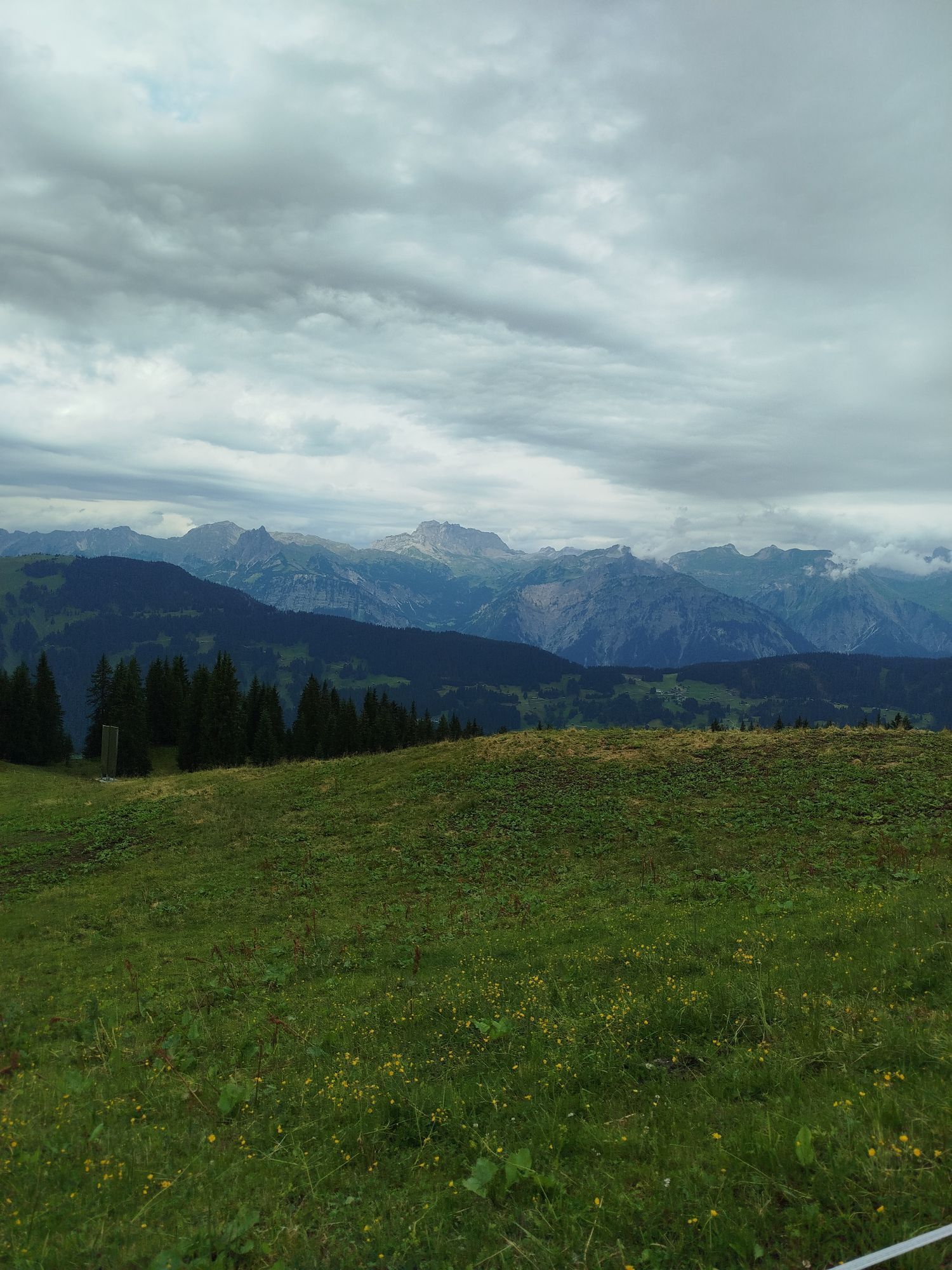
Do you prefer to be out biking in the mountains, preferably with the whole family? Then the new flowtrails at Hochjoch above Schruns are just right for you! With the large gondola, you and your bike can...
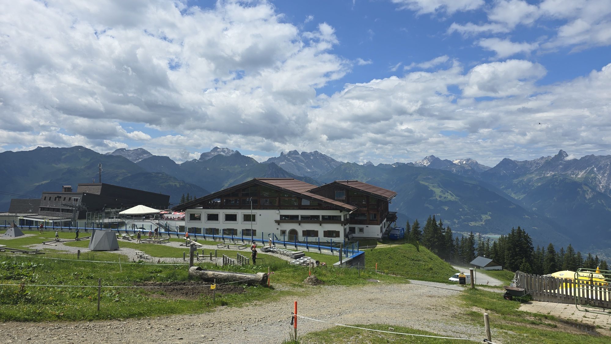
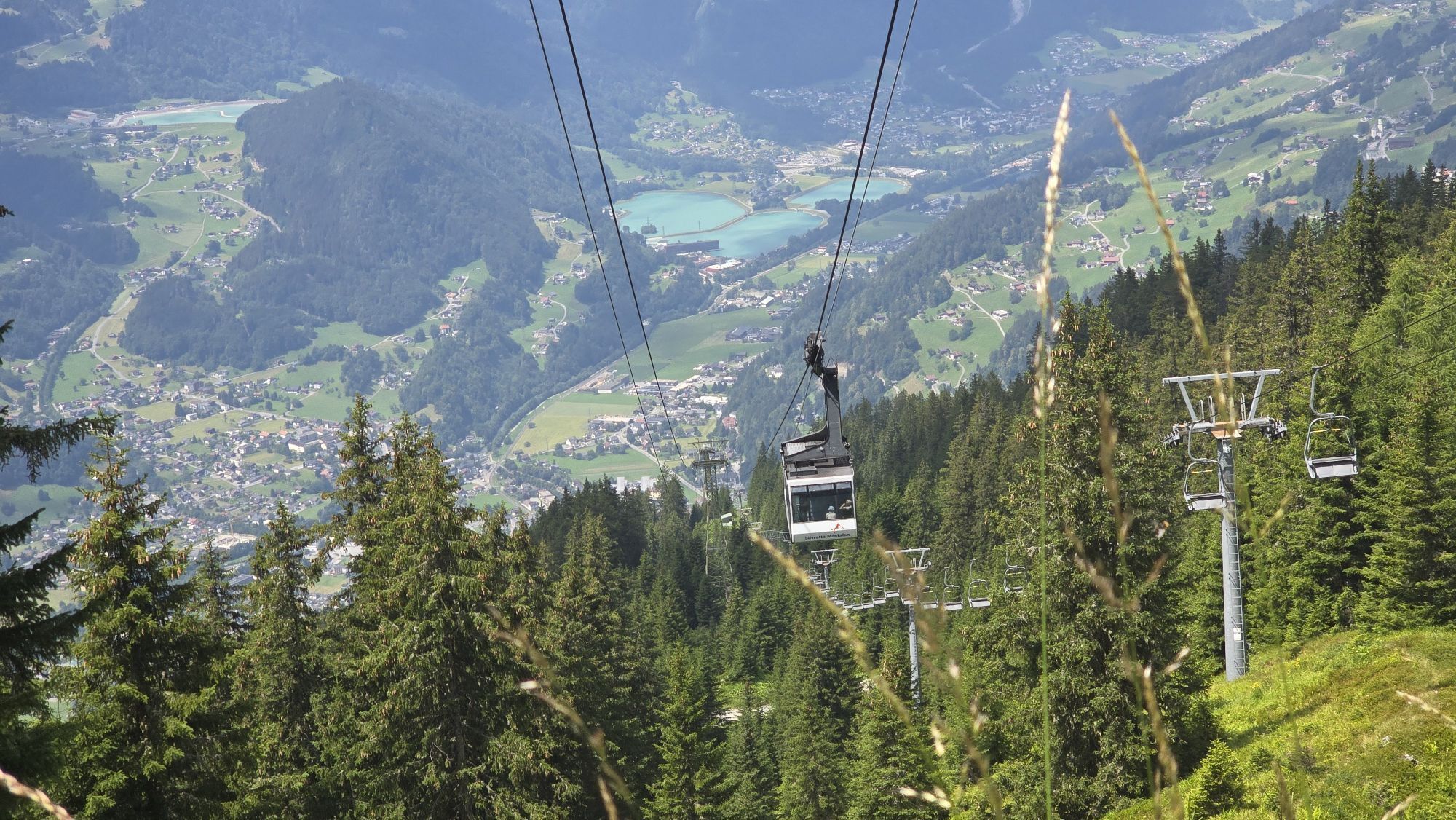
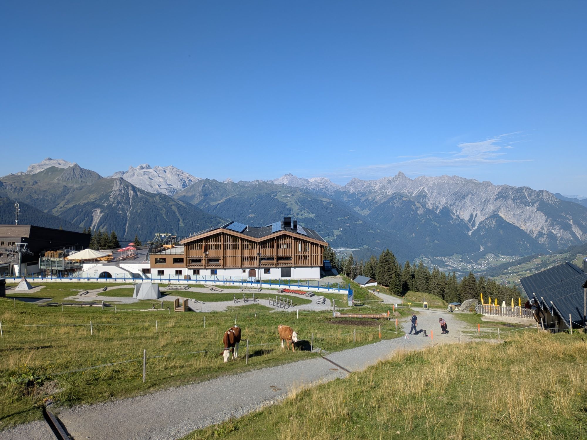
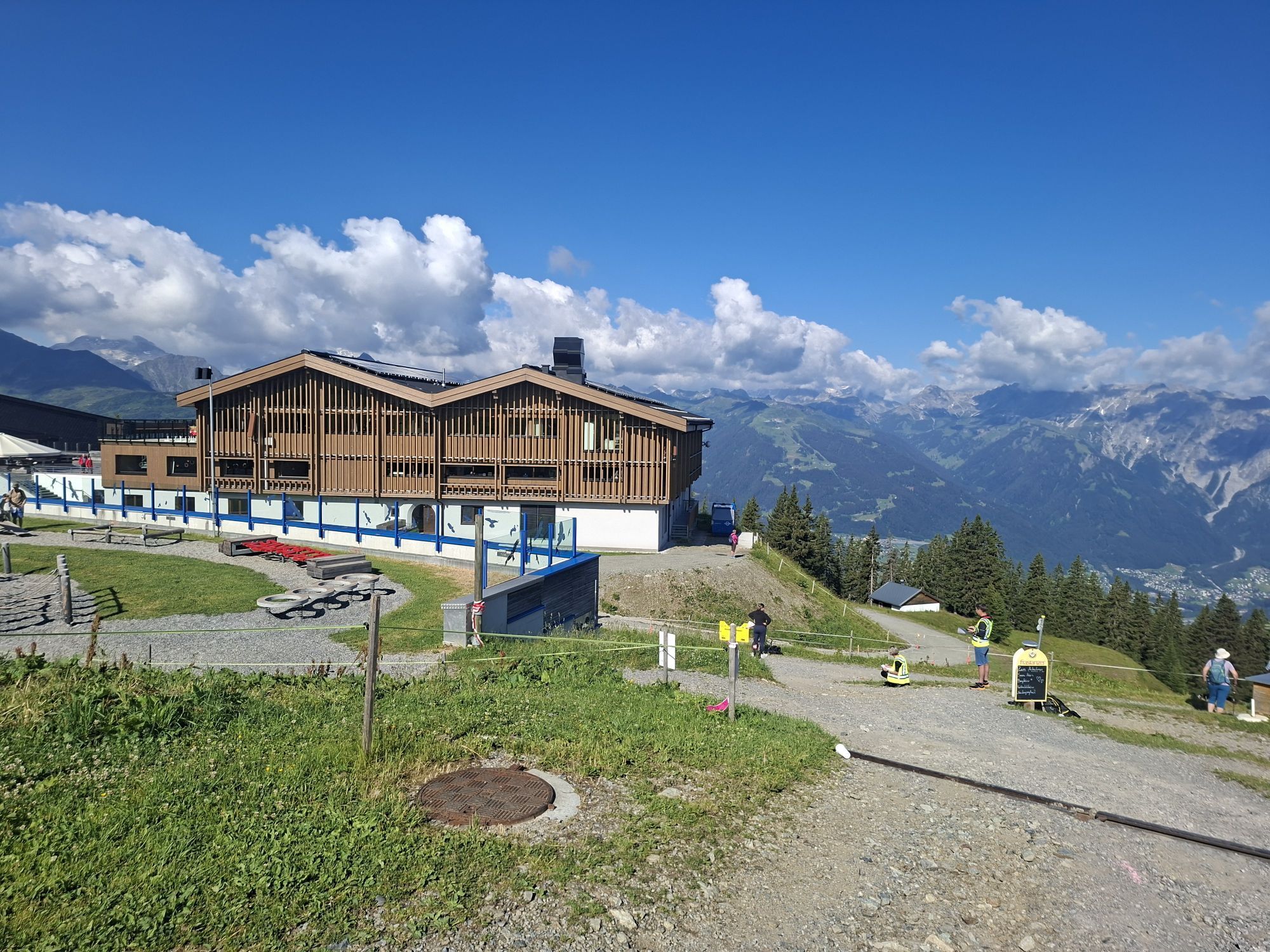
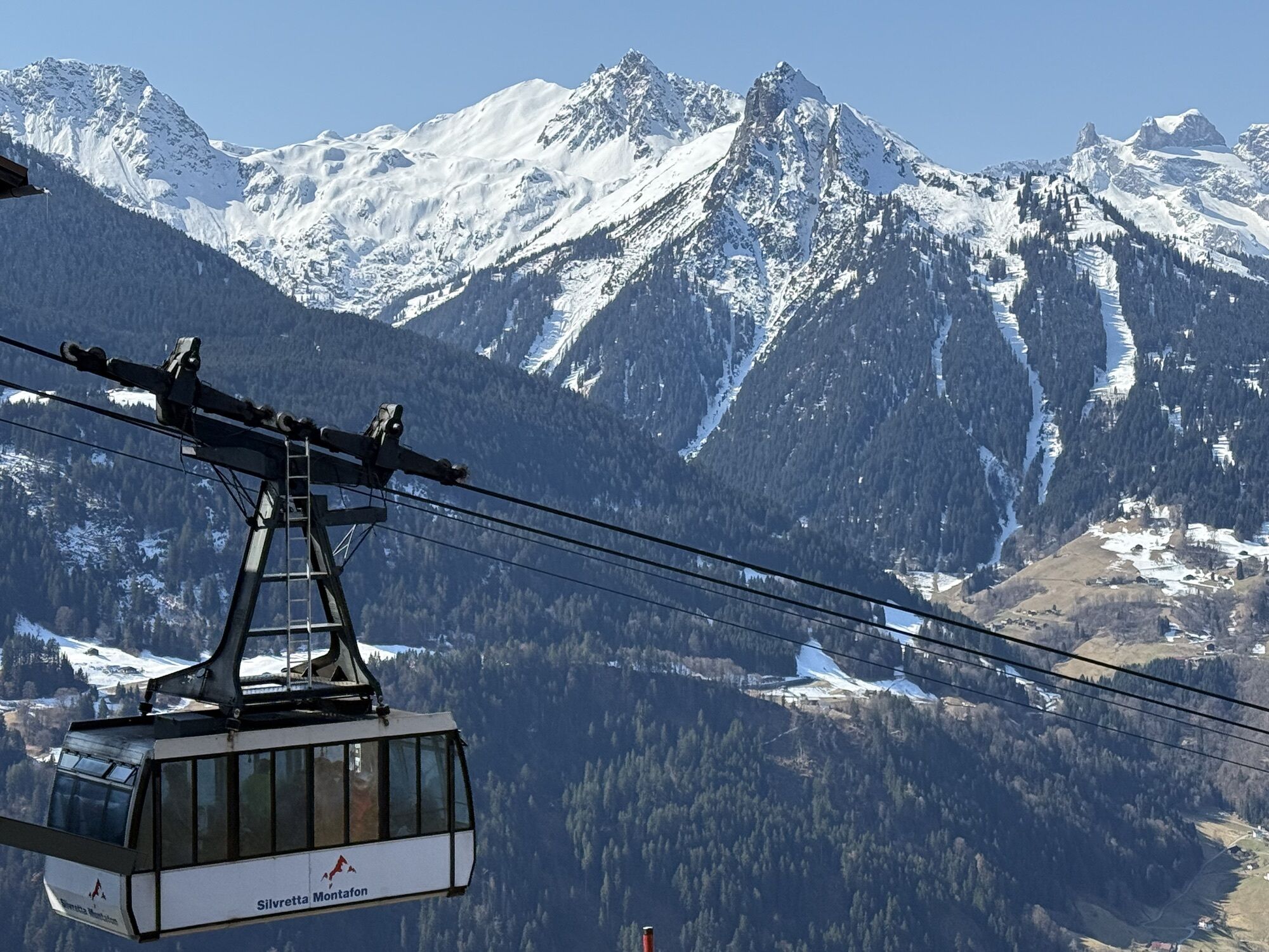
Do you prefer to be out biking in the mountains, preferably with the whole family? Then the new flowtrails at Hochjoch above Schruns are just right for you! With the large gondola, you and your bike can comfortably reach the Kapellrestaurant, where the flowtrails start at various difficulty levels. The Hubertus Trail is the easiest of the three trails. There is also the medium-difficulty Kilka Wald Trail and the medium-difficulty Wolfsgruaba Trail.
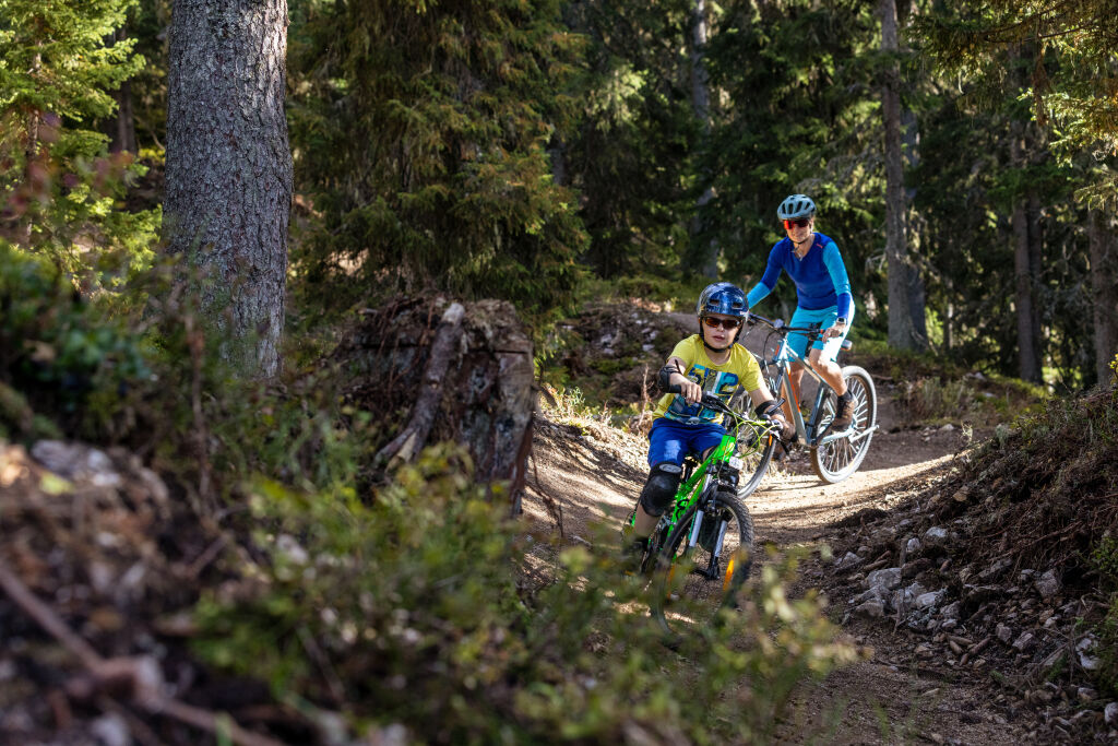
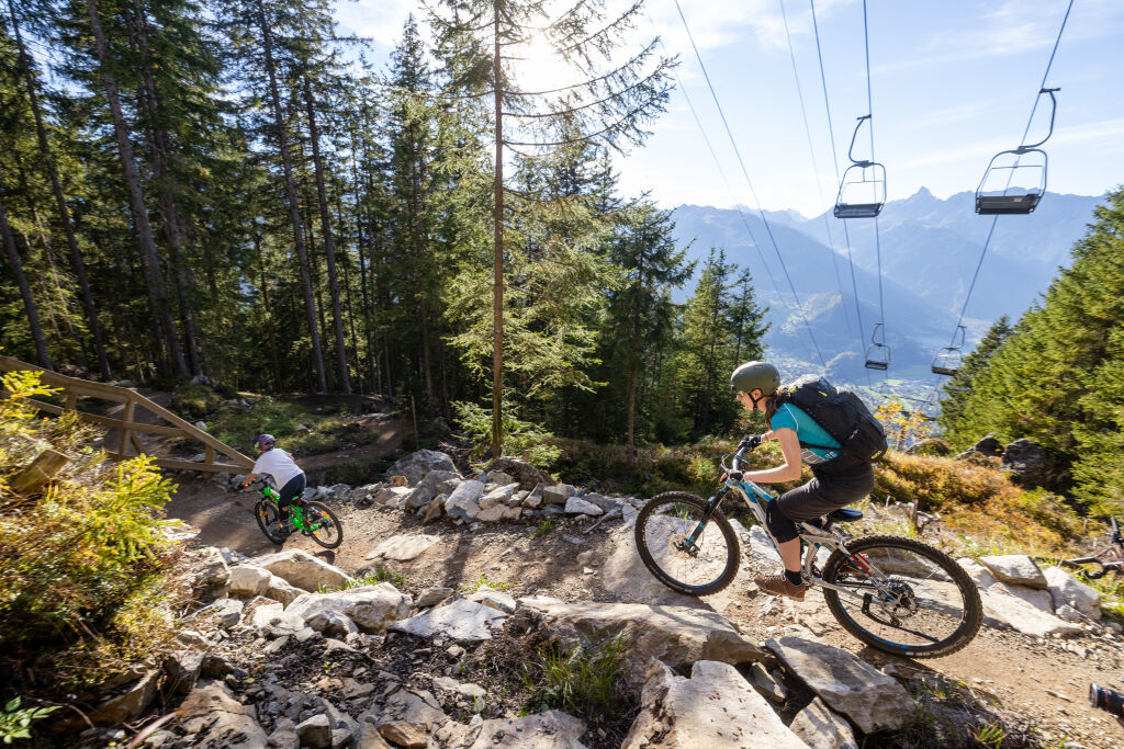
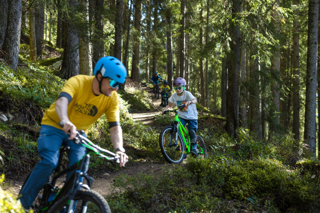
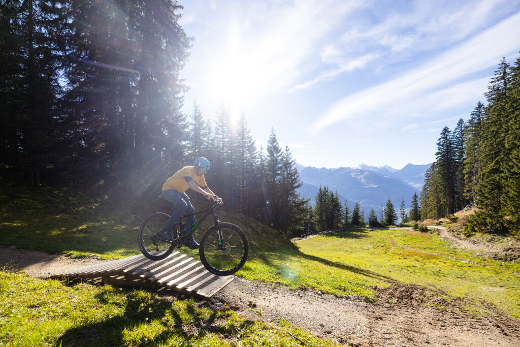
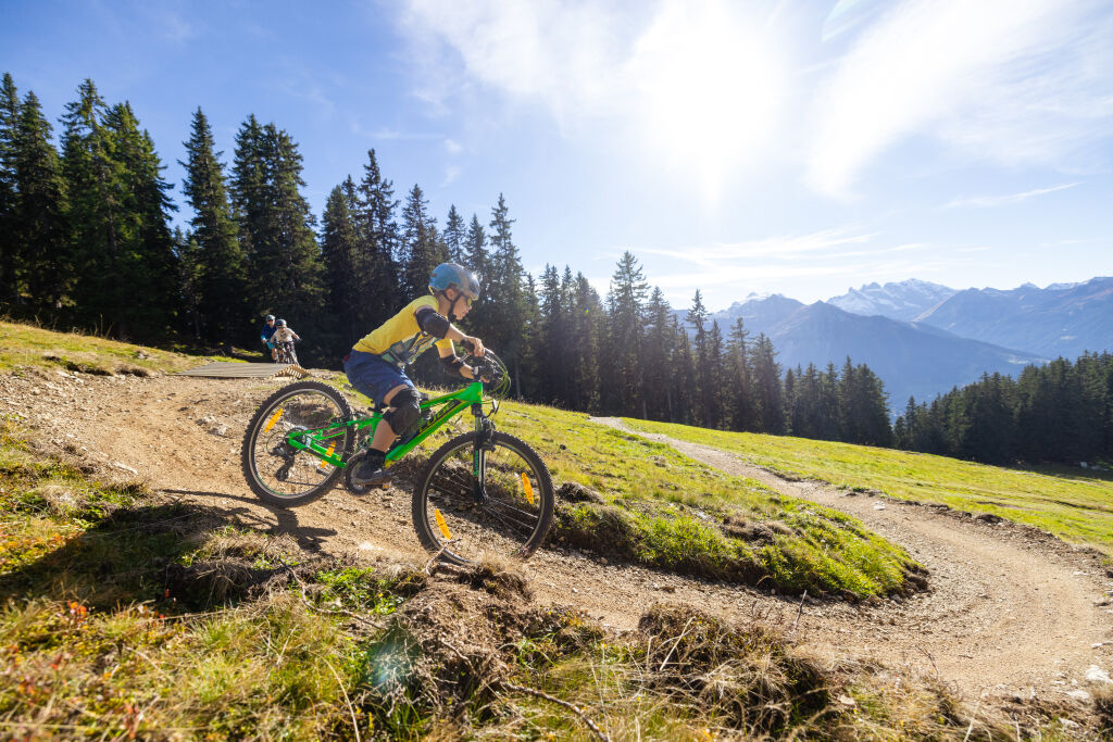
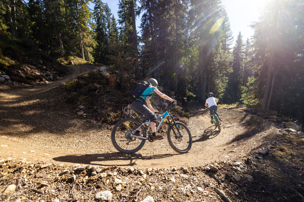
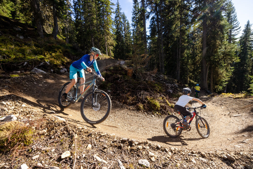

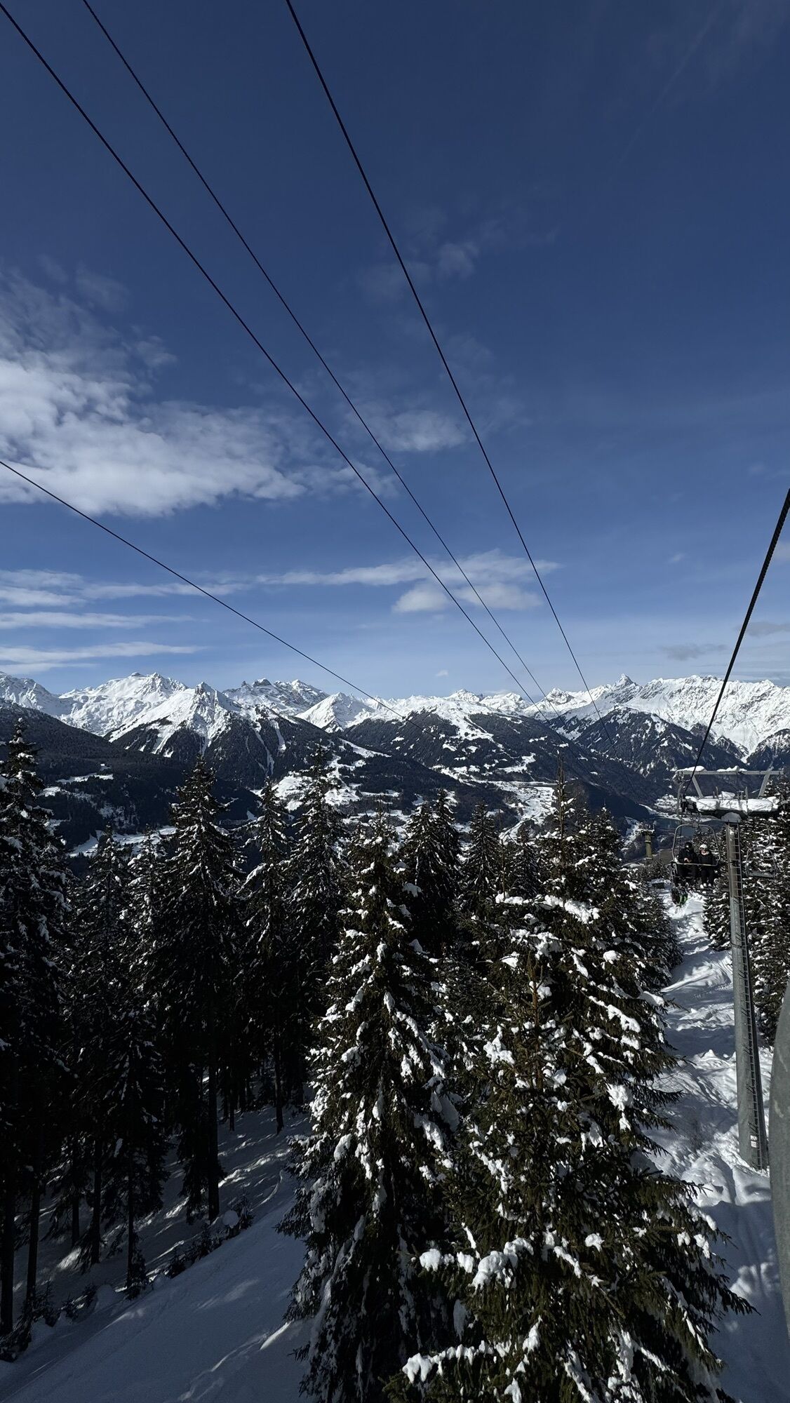
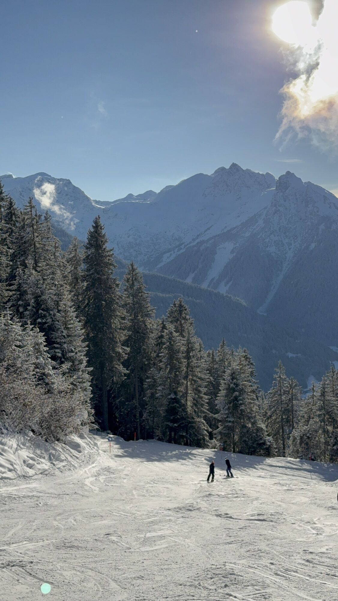
From the Kapellrestaurant, the trails lead through the forest to the Kropfen middle station. The three different lines – over 500 meters of elevation and almost seven kilometers in total, from easy to medium difficulty – guarantee fun for the whole family!
Da
Da
Wearing a helmet is mandatory at all times. The use of full-face helmets and additional protective gear such as upper body protectors, knee and elbow pads, as well as gloves, is recommended
Make sure to stay on the marked paths
EMERGENCY CALL: 144
European emergency number 112 (works with any mobile phone/network)
Operating hours: 09:00-16:30
Starting point: Hochjoch Bahn top station, Kapellrestaurant
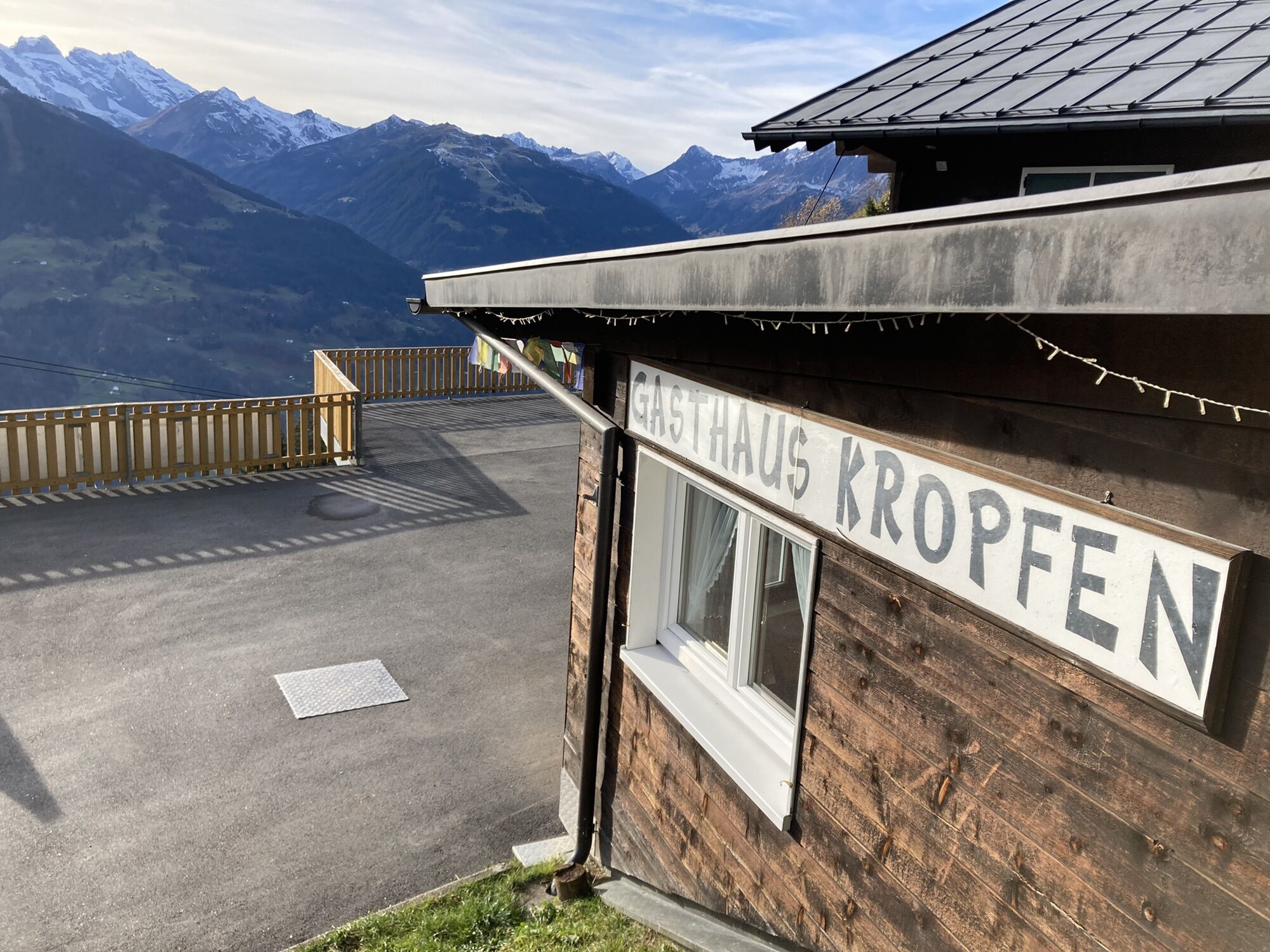
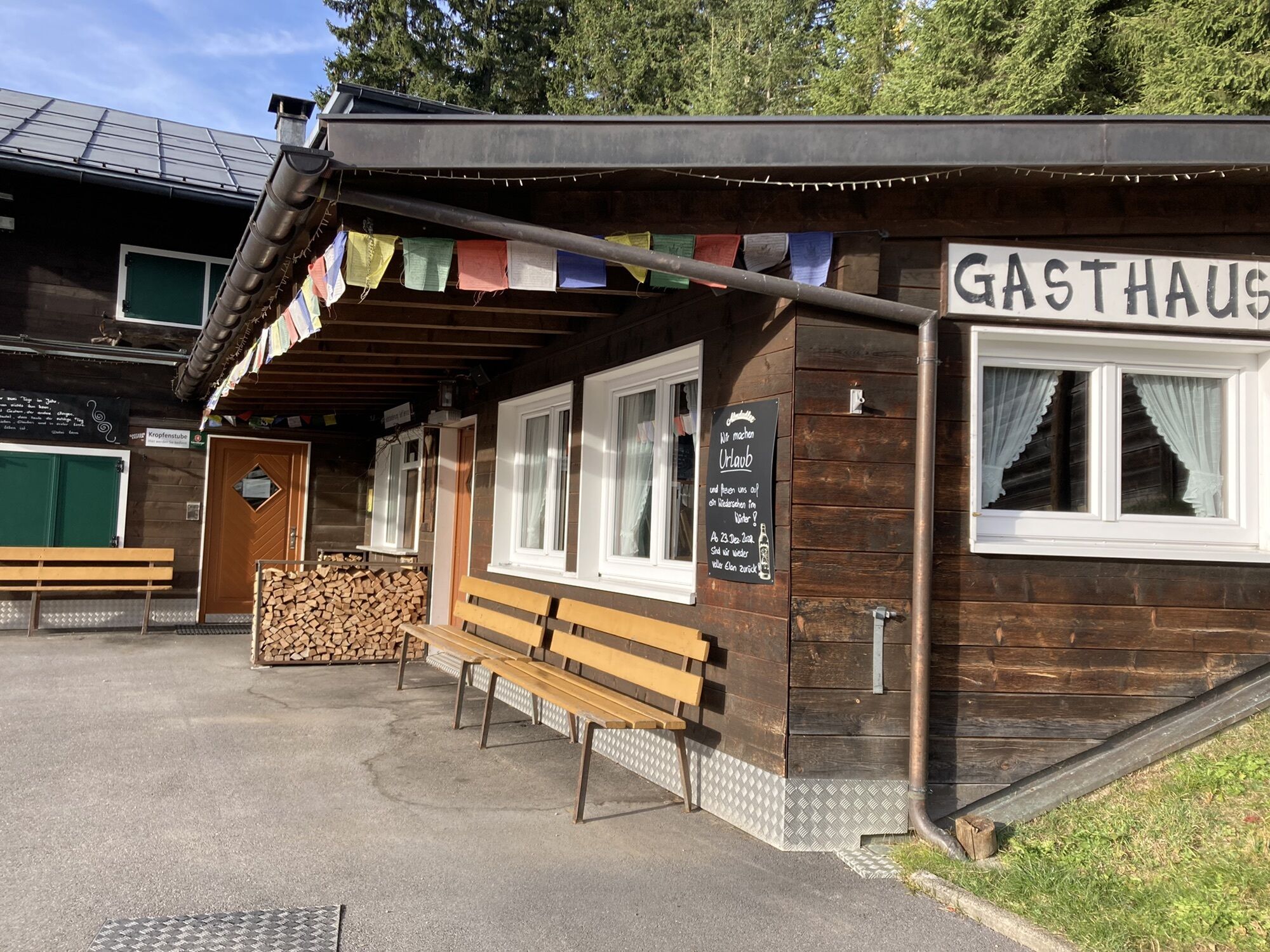
End point: Hochjoch Bahn middle station, Gasthaus Kropfen
Highest point: 1,850 meters above sea level
Descent elevation: 500 meters
2 different difficulty levels
Bike wash station at Kropfen
Total distance: 7 km
You can reach the entrance to the flowtrails with the Hochjoch Bahn, from Schruns.
Choose from different tickets: for a single run, for the whole day, or – if you have a multi-day, season, or annual pass – only the bike transport.
Please note that bike transport is only possible with the Hochjoch Bahn.
Here you can find more details:
https://www.silvretta-montafon.at/de/sommer/sommeraktivitaeten/biken
Spletne kamere s turneje
-
Hochjoch Bahn Bergstation
-
Montafoner Kristbergbahn Bergstation
-
Panoramagasthof Kristberg
-
Panoramagasthof Kristberg
-
Kristberglift mit St. Agatha Kirche
-
Kinderland Skischule Silbertal
-
Bergstation Hochalpila Bahn
-
Silbertal Dorf
-
Innerberg
-
Silvretta-Montafon - Panorama Bahn
-
Bartholomäberg
-
Bartholomäberg
-
Tschagguns
-
Schruns
-
Bartholomäberg - Ferienhotel Fernblick
-
Wormserhütte
-
Wormserhütte
-
Kapellbahn
-
Bartholomäberg
-
Bartholomäberg - Ferienhotel Fernblick
-
Bartholomäberg - Ferienhotel Fernblick
-
Bartholomäberg - Ferienhotel Fernblick
Pridobite vpogled
Vedno v živo na mestu z več kot 9.500 spletnimi kamerami. bergfex Kot uporabnik Pro si lahko zdaj ogledate ustrezne spletne kamere za številne izlete v aplikaciji izleti iz. Tako si lahko neposredno ogledate trenutne razmere.
Priljubljeni izleti v okolici
-
5.0
Ski tour to the Lindauer Hut (1,744 m)
svetlobaSmučarska tura 14.0 km -
4.7
Kristberg - Wasserstubental - Silbertal
svetlobaPohodništvo 13.8 km -
4.7
Smuggler’s path
srednjaTematska pot 8.60 km -
4.6
Over the historic mine and Fritzensee to Rellseck
srednjaPohodništvo 7.25 km -
4.4
Golmer Lakes Trail
srednjaTematska pot 7.28 km -
4.9
Bürs, Bürserschlucht Bürs, Vorarlberg
srednjaPohodništvo 5.31 km -
4.6
Madrisella summit path
srednjaTematska pot 10.8 km -
4.3
Golmerbahn Bergstaion Grüneck - Golmer Höhenweg - Geißspitze - Lindauer Hütte - Latschau
srednjaPohodništvo 11.5 km -
4.8
Madrisella via ferrata
težkoVia ferrata 8.52 km -
4.9
Alpgues Runde
srednjaPohodništvo 9.21 km
Pohodništvo in sledenje


Ne zamudite ponudb in navdiha za naslednje počitnice
Vaš e-poštni naslov je bil dodan na poštni seznam.





