







Sulzfluh via ferrata
Stopnja težavnosti: C/D
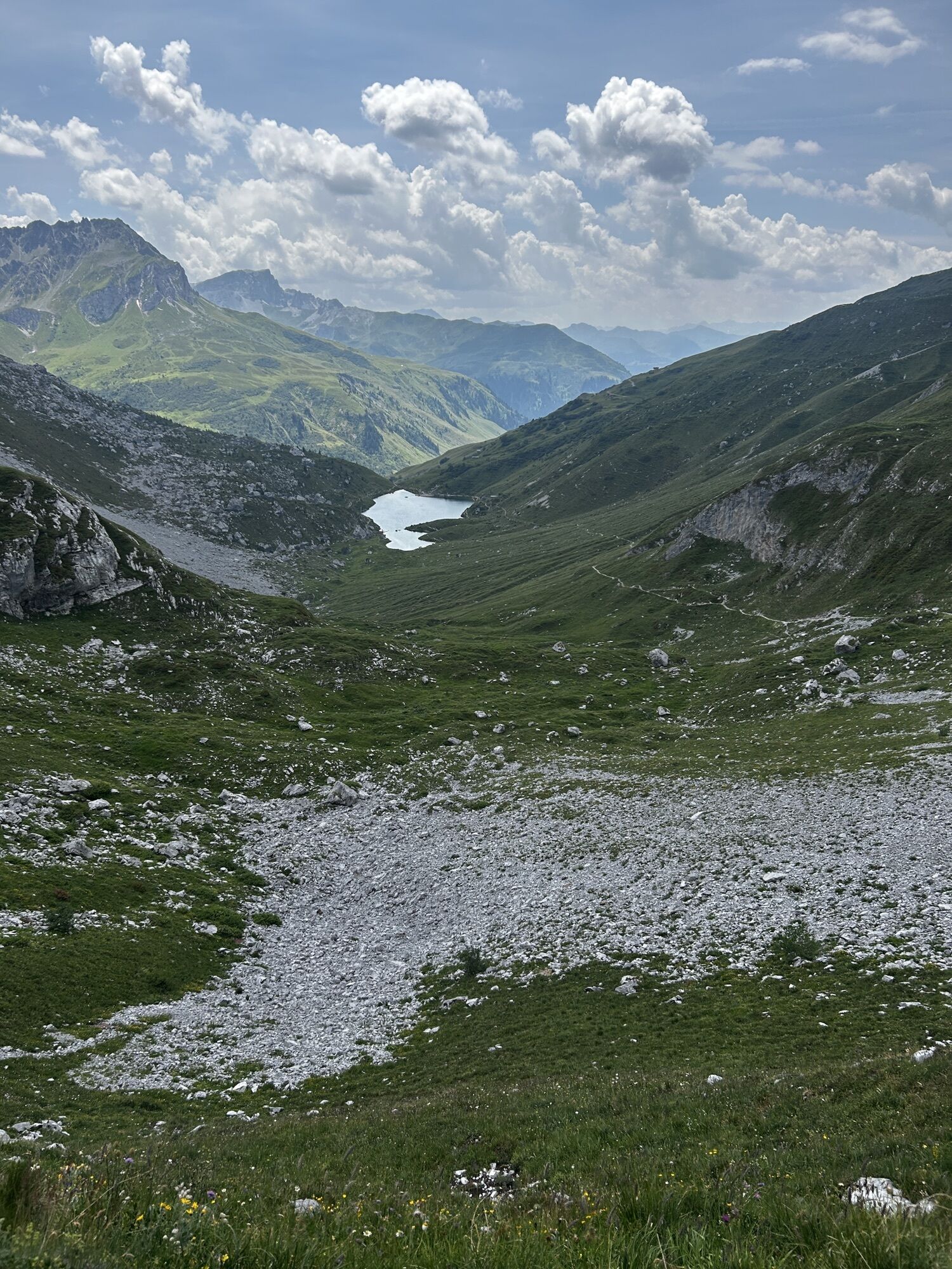
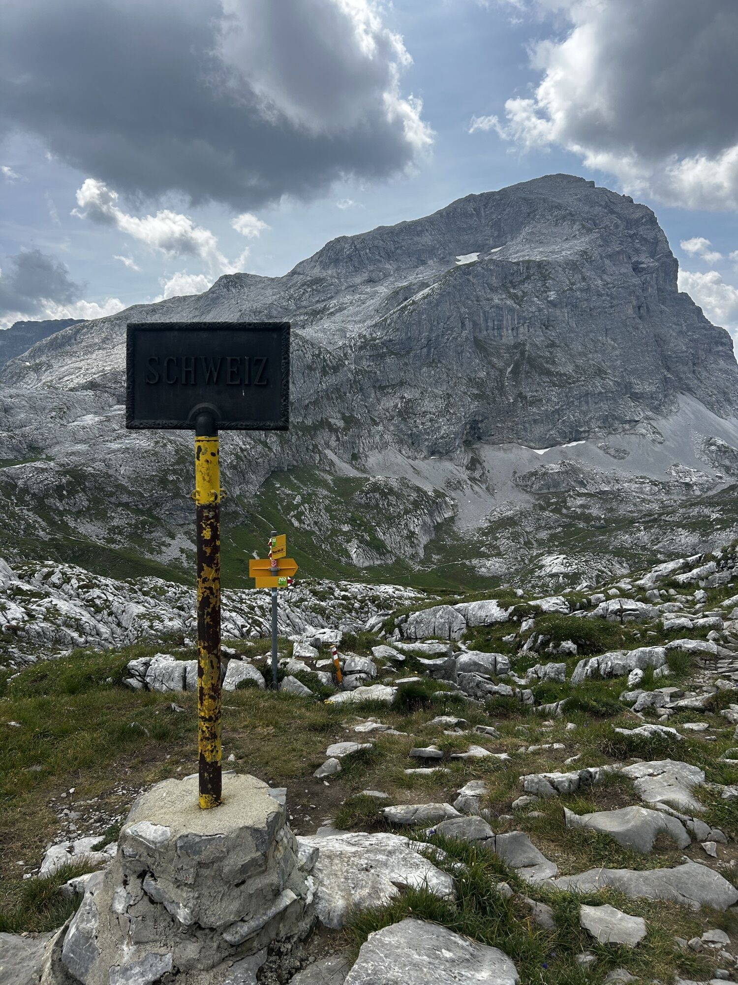
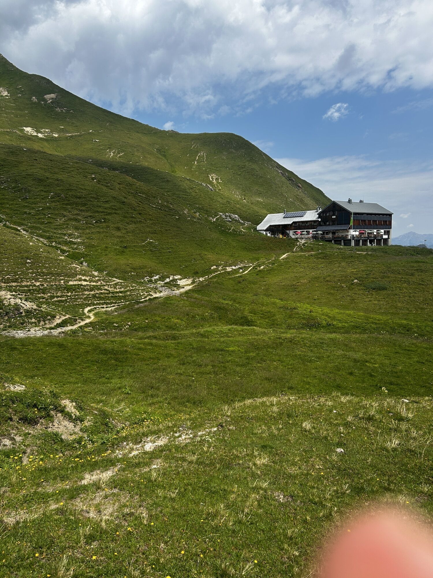
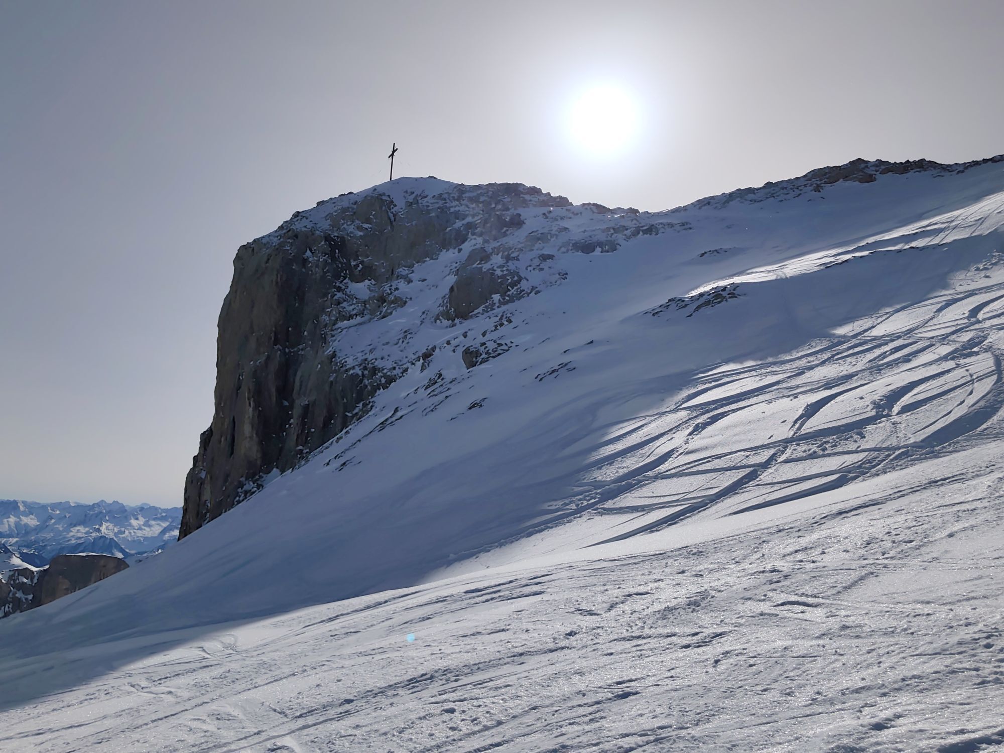
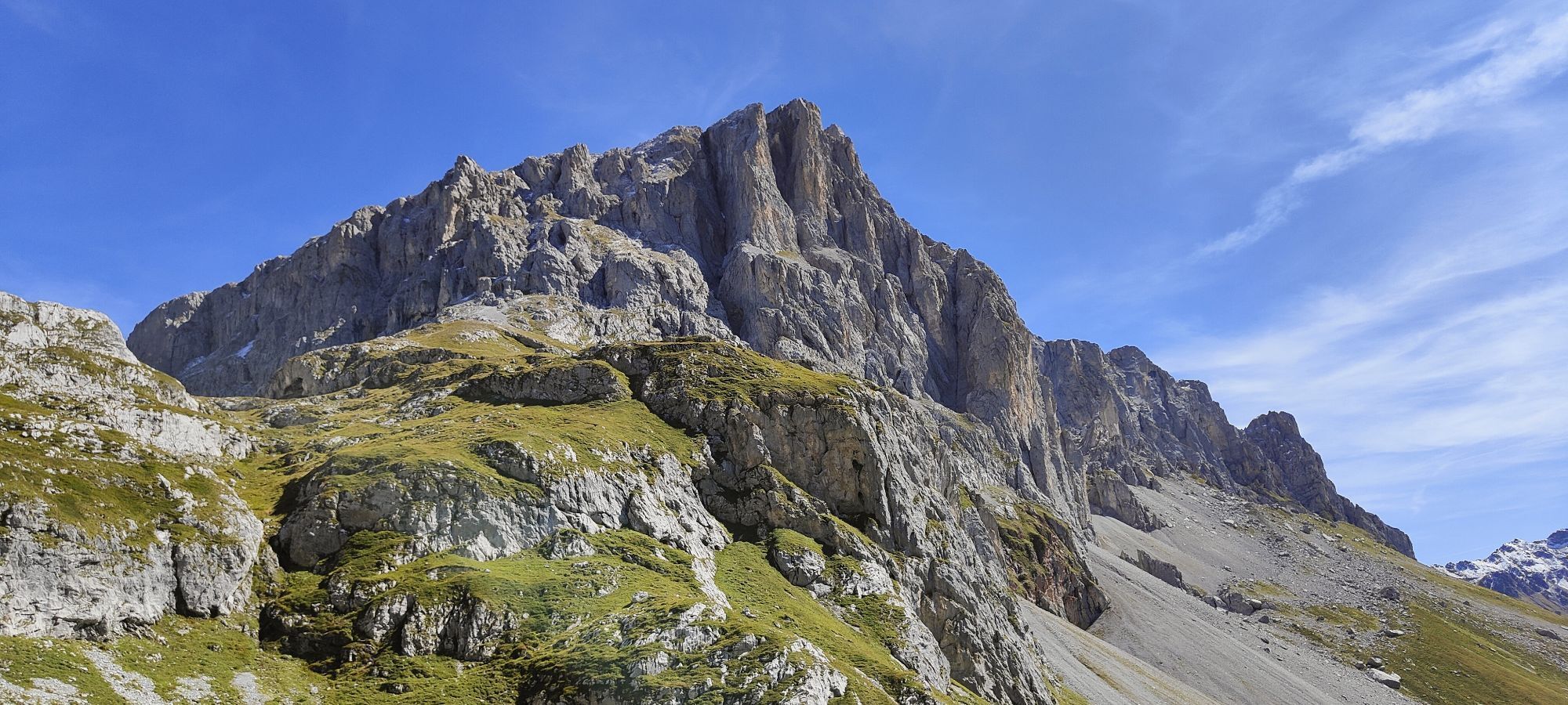
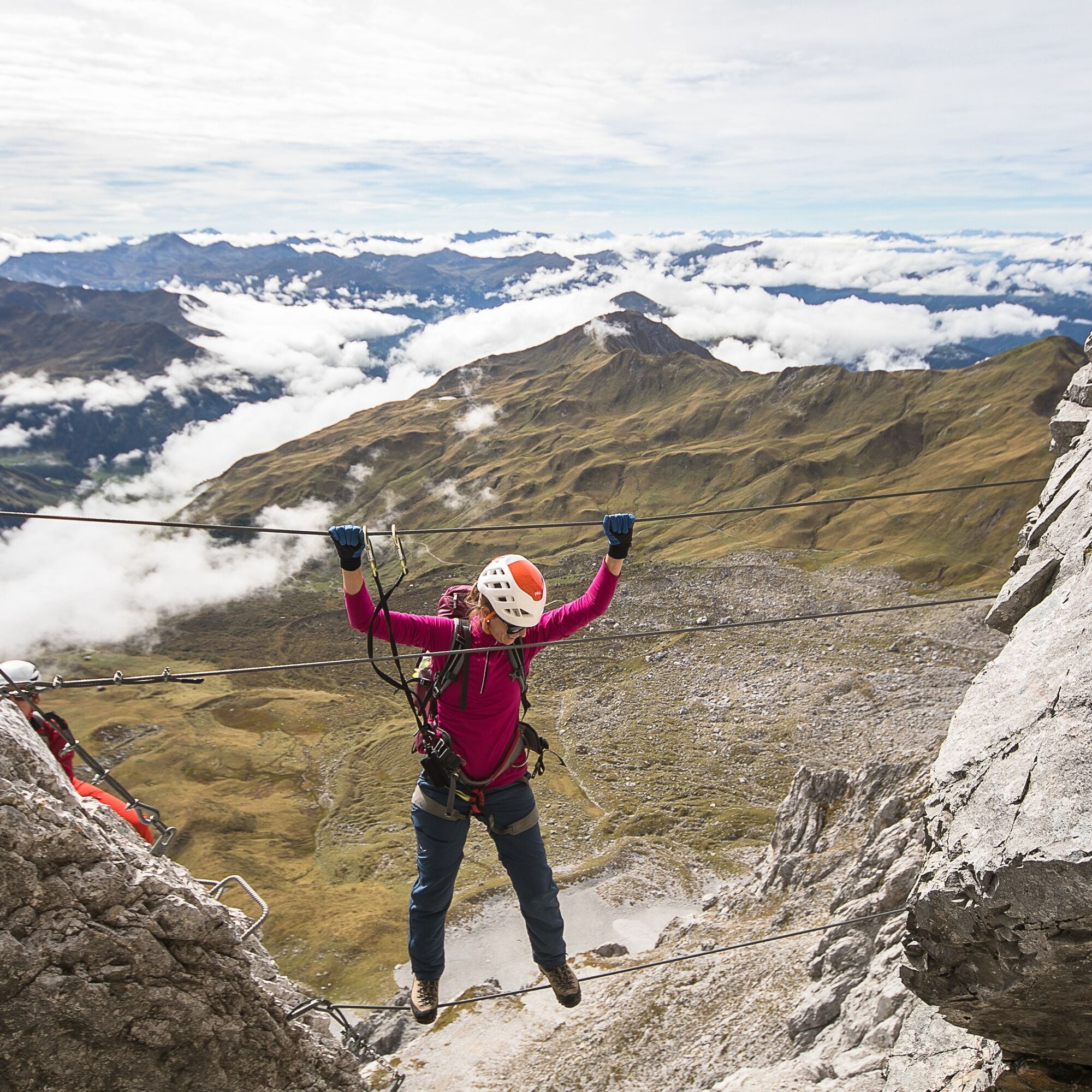
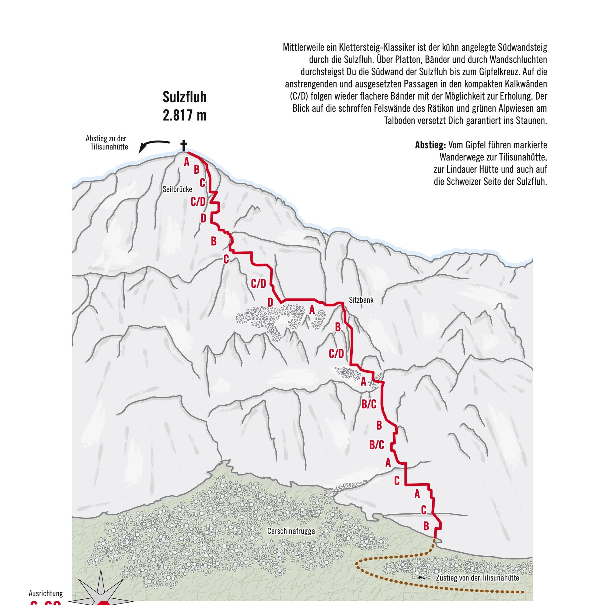
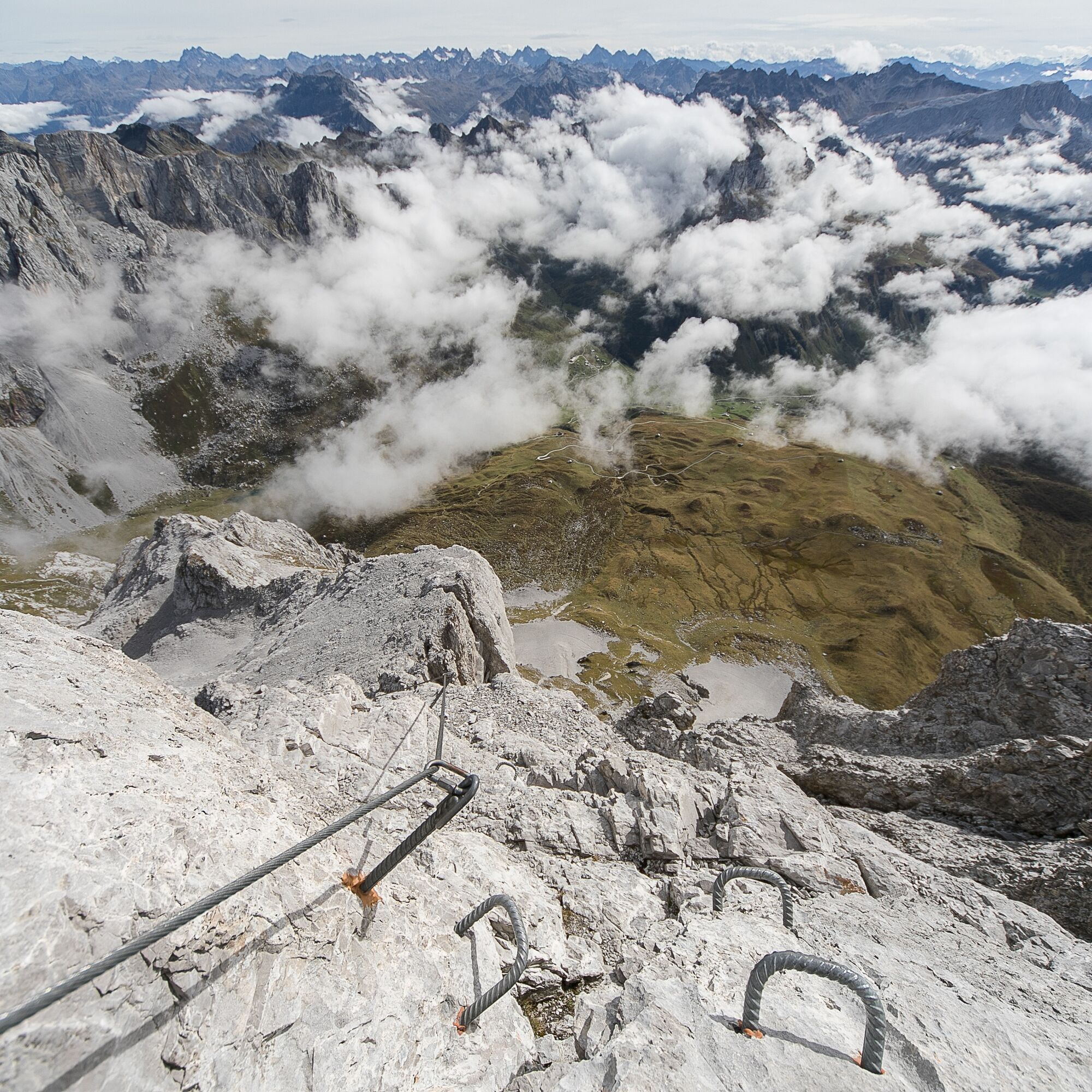
By now a classic via ferrata is the boldly laid South Wall Route through the Sulzfluh. Over slabs, bands, and through wall gorges, you climb the south wall of the Sulzfluh up to the summit cross. After...
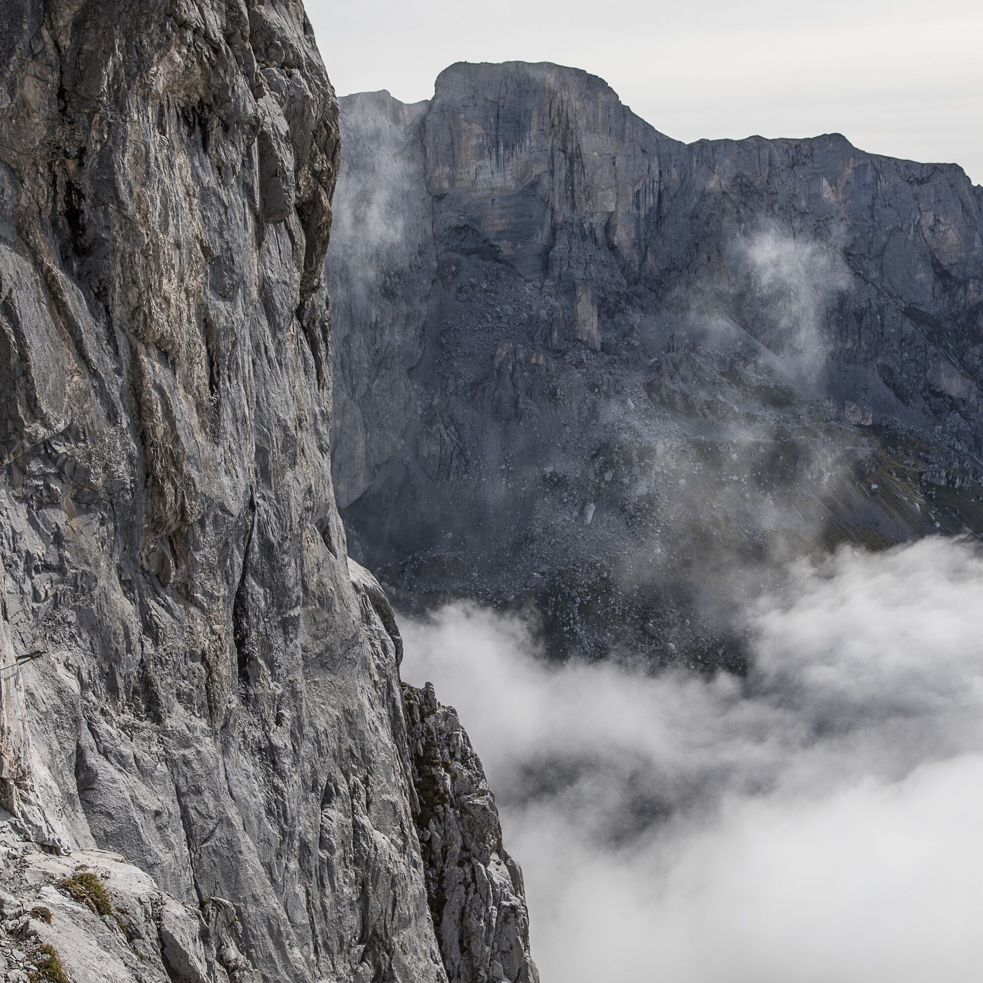
By now a classic via ferrata is the boldly laid South Wall Route through the Sulzfluh. Over slabs, bands, and through wall gorges, you climb the south wall of the Sulzfluh up to the summit cross. After the strenuous and exposed sections on the compact limestone walls (C/D), flatter bands follow offering the possibility to rest. The view of the rugged rock faces of the Rätikon and green alpine meadows in the valley bottom will surely amaze you.
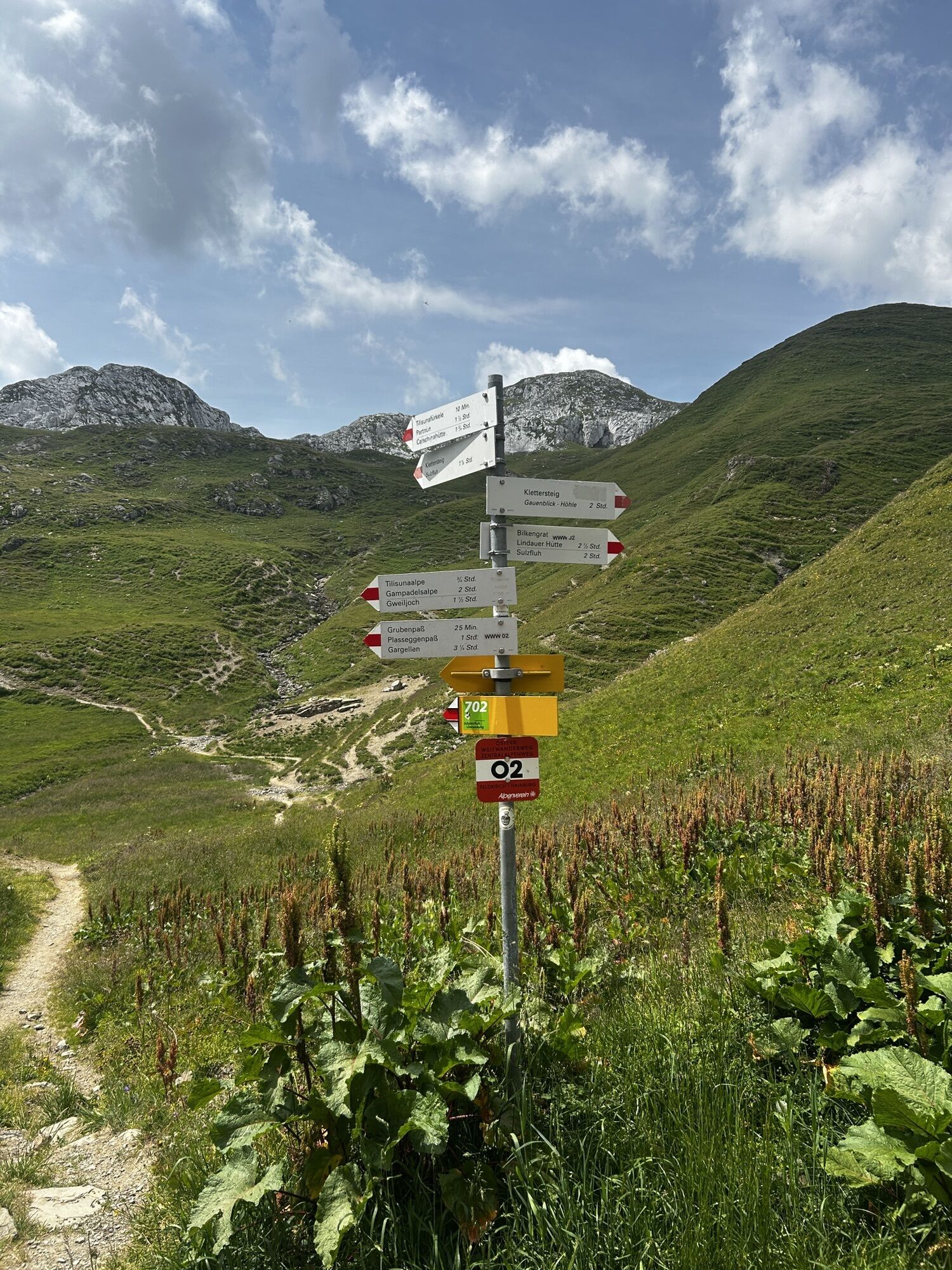
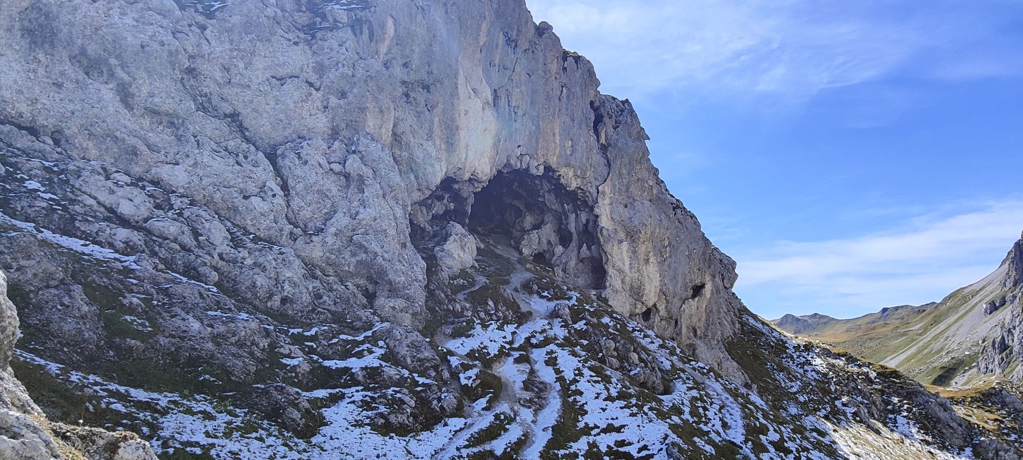
Approach: From the Tilisunahütte, follow a marked hiking trail over the Tilisunafürggeli towards the Carschinahütte. Under the south wall, a path branches off over grassy slopes and scree cones to the start (marked with a red E on a white plate on the wall).
Descent: From the summit, marked hiking trails lead back to the Tilisunahütte, the Lindauer Hütte, and also to the Swiss side of the Sulzfluh.

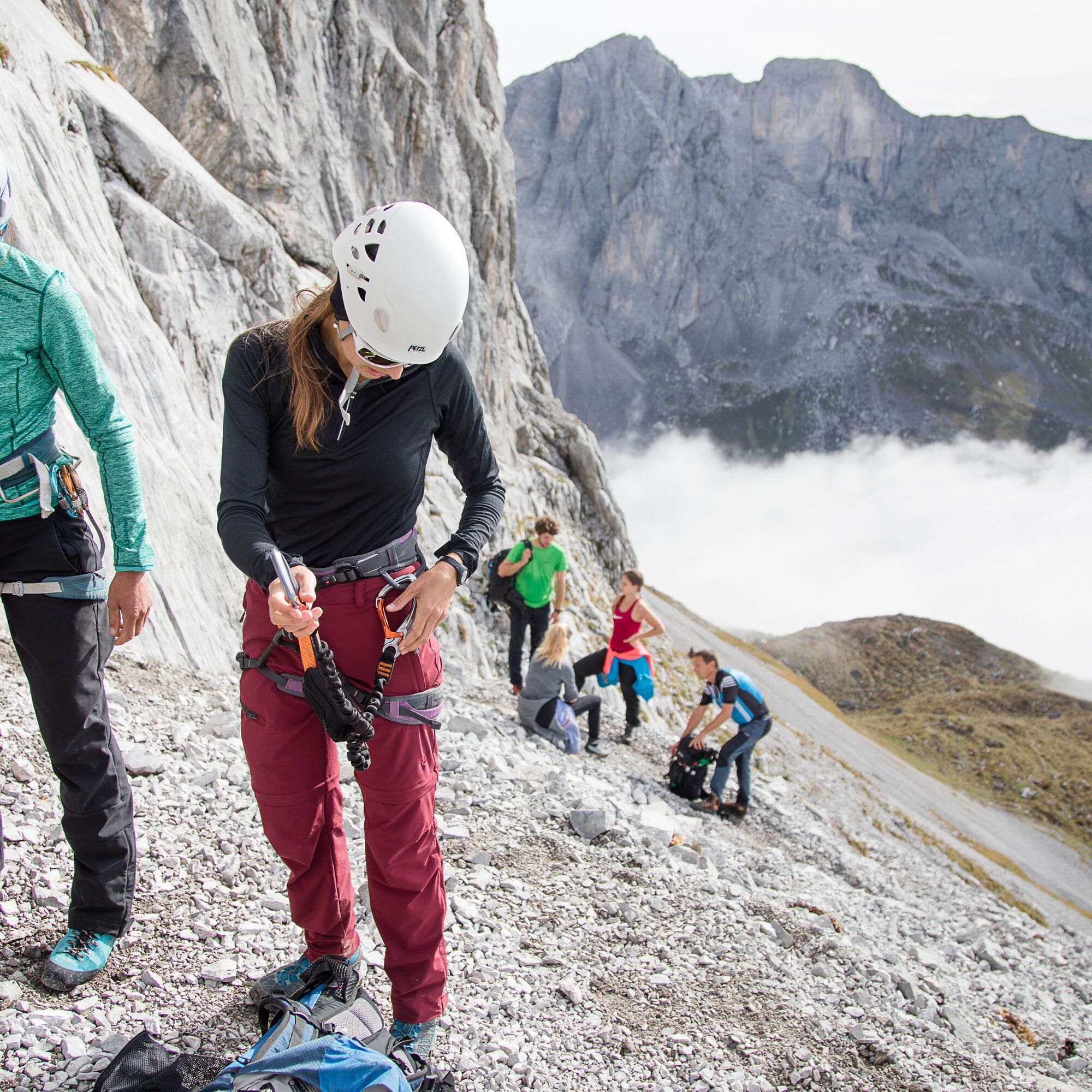
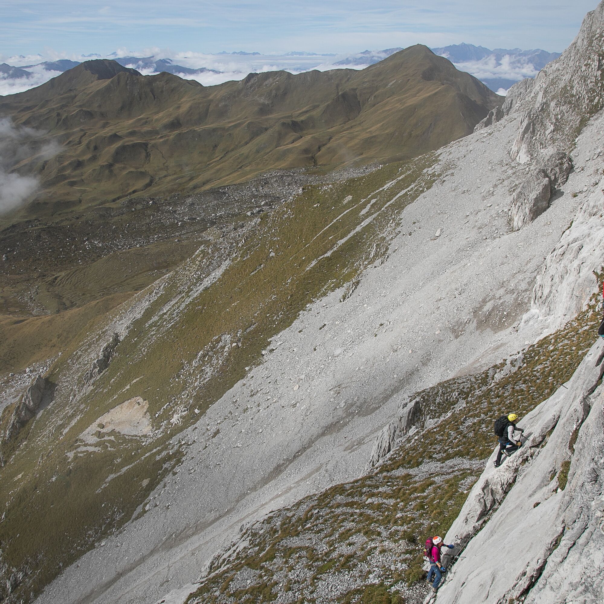
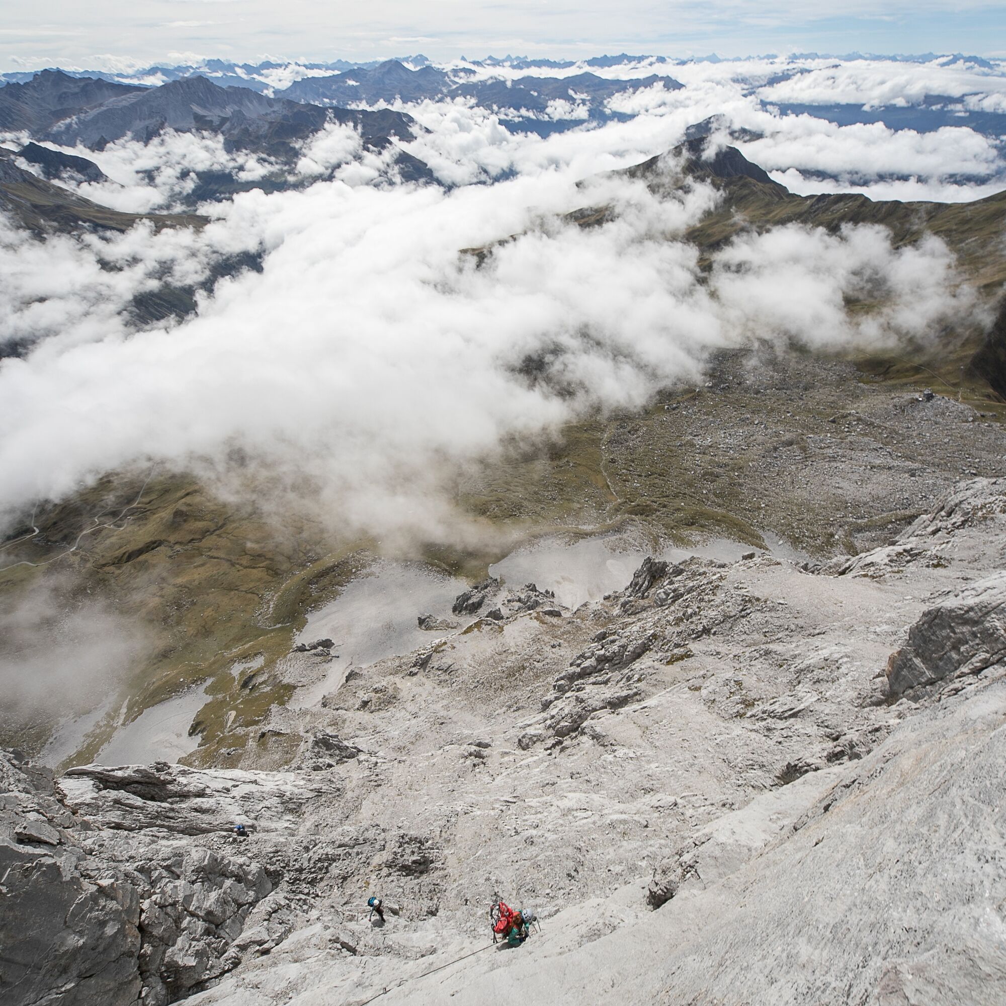

Starting from the Tilisunahütte on a marked path, you follow the signpost towards Partnun (1.5 hours). You go over the Tilisunafürggeli and follow it until you turn right under the south wall to the start.
The descent is via a marked path back to the Tilisunahütte.
Da
Complete climbing equipment (harness including via ferrata set, helmet and gloves) as well as proper footwear (sturdy ankle-high mountain boots with good grip) are absolutely required.
You should also always carry a backpack with provisions, sun and rain protection, and a first aid kit.
Via ferrata sets rental
Euro emergency call: 112 (works with any mobile/network)
vorarlberg.travel/sicherheitstipps
Take the A14 to the Bludenz/Montafon exit, then follow Montafonerstraße L188 to Tschagguns and continue to the hiking parking lot in Latschau.
Just leave your car parked
The local buses operate throughout the Montafon. The main lines run every half hour from Schruns station.
Bus stop at the start/finish of the route: Latschau Golmerbahn/ Line 601 (walking distance to/from Tilisunahütte)
Timetable: www.vmobil.at
Arrival by train to Montafon
From Bludenz station, the Montafonerbahn runs hourly (partly every half hour). There are also direct connections from Lindau (D) and Bregenz.
Timetable: www.oebb.at
Hiking parking lot Latschau (paid)
C/D
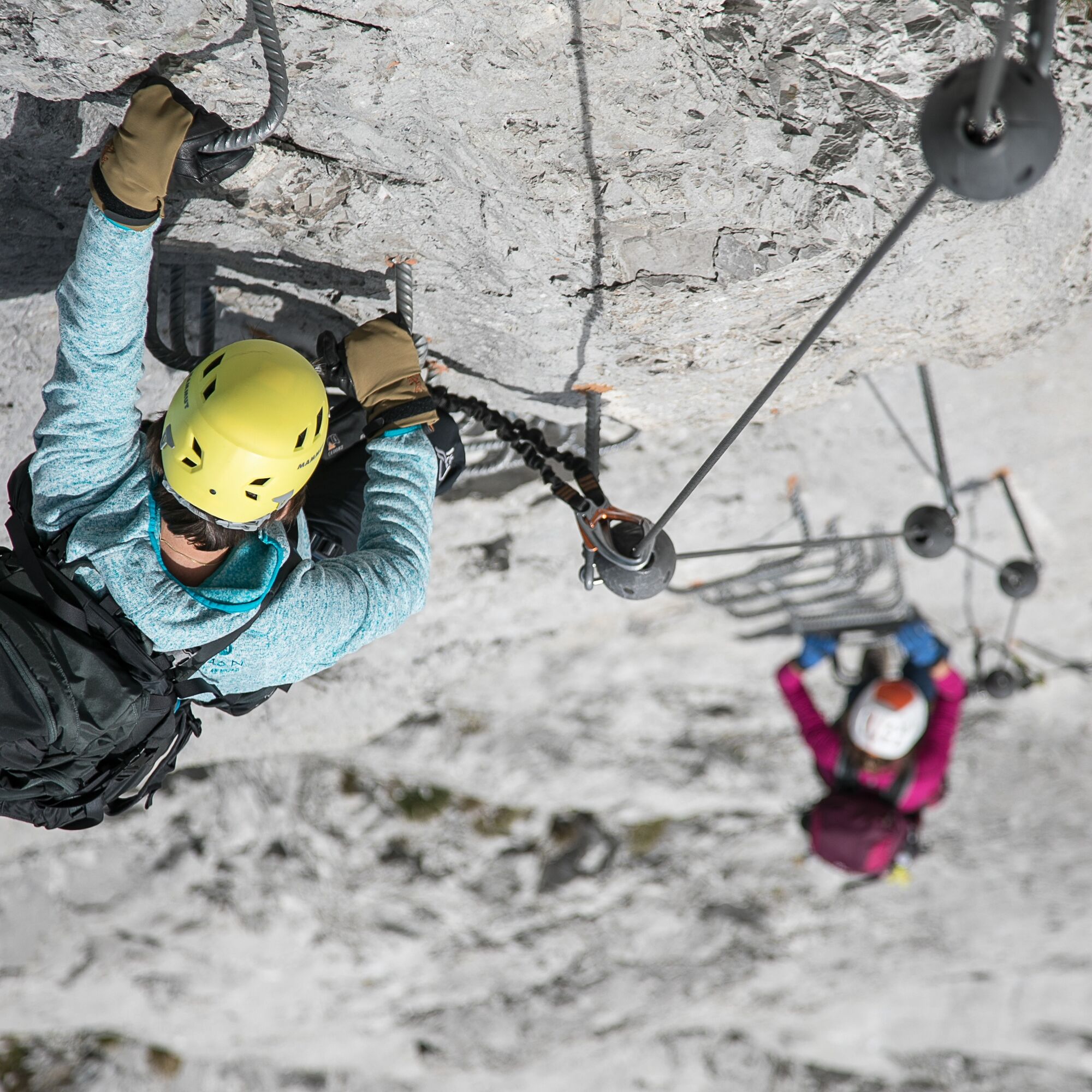
The route is exemplary and perfectly secured with clamps and short ladders.
Since there is no emergency exit, sufficient strength and fitness are absolutely essential for the entire route.
Pridobite vpogled Vedno v živo na mestu z več kot 9.500 spletnimi kamerami. bergfex Kot uporabnik Pro si lahko zdaj ogledate ustrezne spletne kamere za številne izlete v aplikaciji izleti iz. Tako si lahko neposredno ogledate trenutne razmere. Priljubljeni izleti v okolici
- 5.0
Ski tour to the Lindauer Hut (1,744 m)
svetlobaSmučarska tura 14.0 km - 4.7
Smuggler’s path
srednjaTematska pot 8.60 km - 5.0
Bürs, Bürserschlucht Bürs, Vorarlberg
srednjaPohodništvo 5.31 km - 4.4
Golm-Rundwanderweg im Rätikon
srednjaTematska pot 7.28 km - 4.9
Douglasshütte, Lünersee, Gafalljoch Brand bei Bludenz, Vorarlberg
svetlobaPohodništvo 9.16 km - 4.6
Over the historic mine and Fritzensee to Rellseck
srednjaPohodništvo 7.25 km - 4.3
Golmerbahn Bergstaion Grüneck - Golmer Höhenweg - Geißspitze - Lindauer Hütte - Latschau
srednjaPohodništvo 11.5 km - 4.7
Kristberg - Wasserstubental - Silbertal
svetlobaPohodništvo 13.8 km - 4.5
Madrisella summit path
srednjaTematska pot 10.8 km - 4.8
Douglashütte - Schesaplana
srednjaPohodništvo 7.31 km
Pohodništvo in sledenje


Ne zamudite ponudb in navdiha za naslednje počitnice
Vaš e-poštni naslov je bil dodan na poštni seznam.





