







Hochjoch via ferrata
Stopnja težavnosti: C
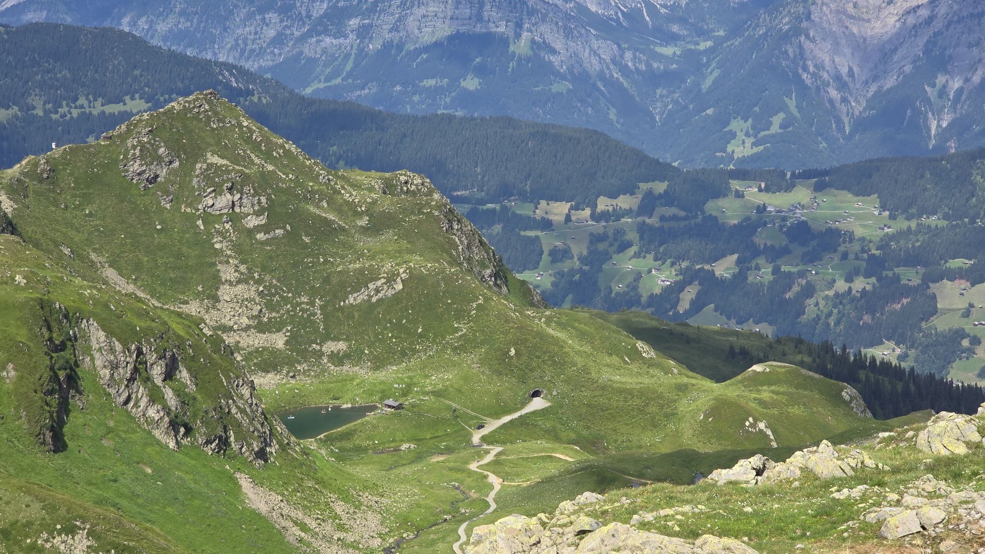
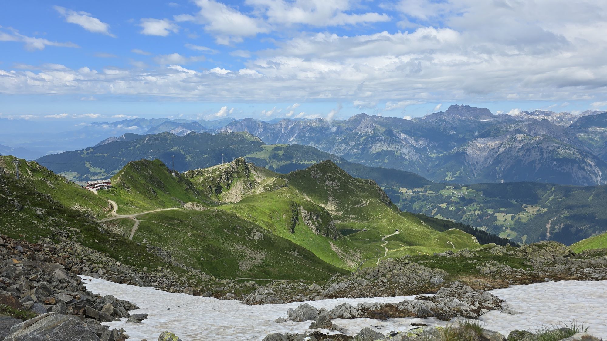
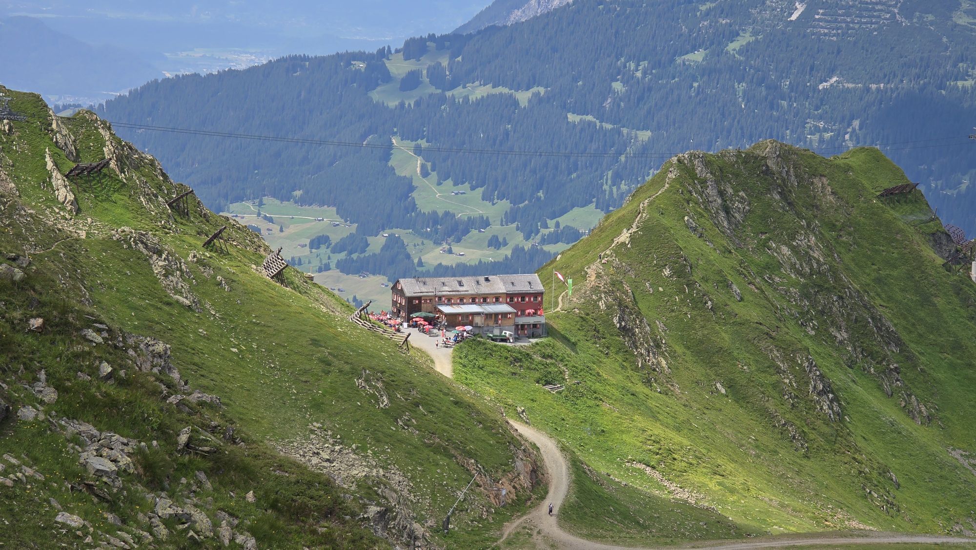
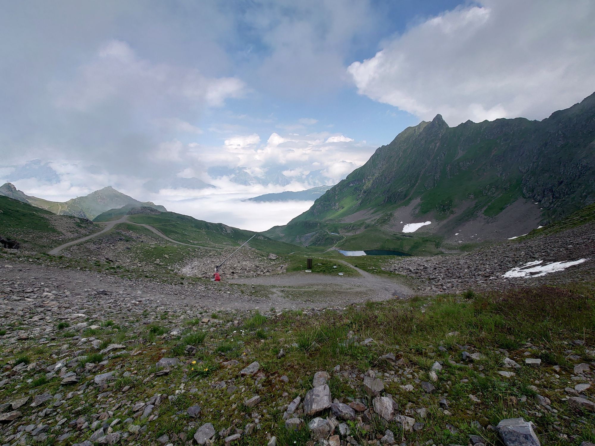
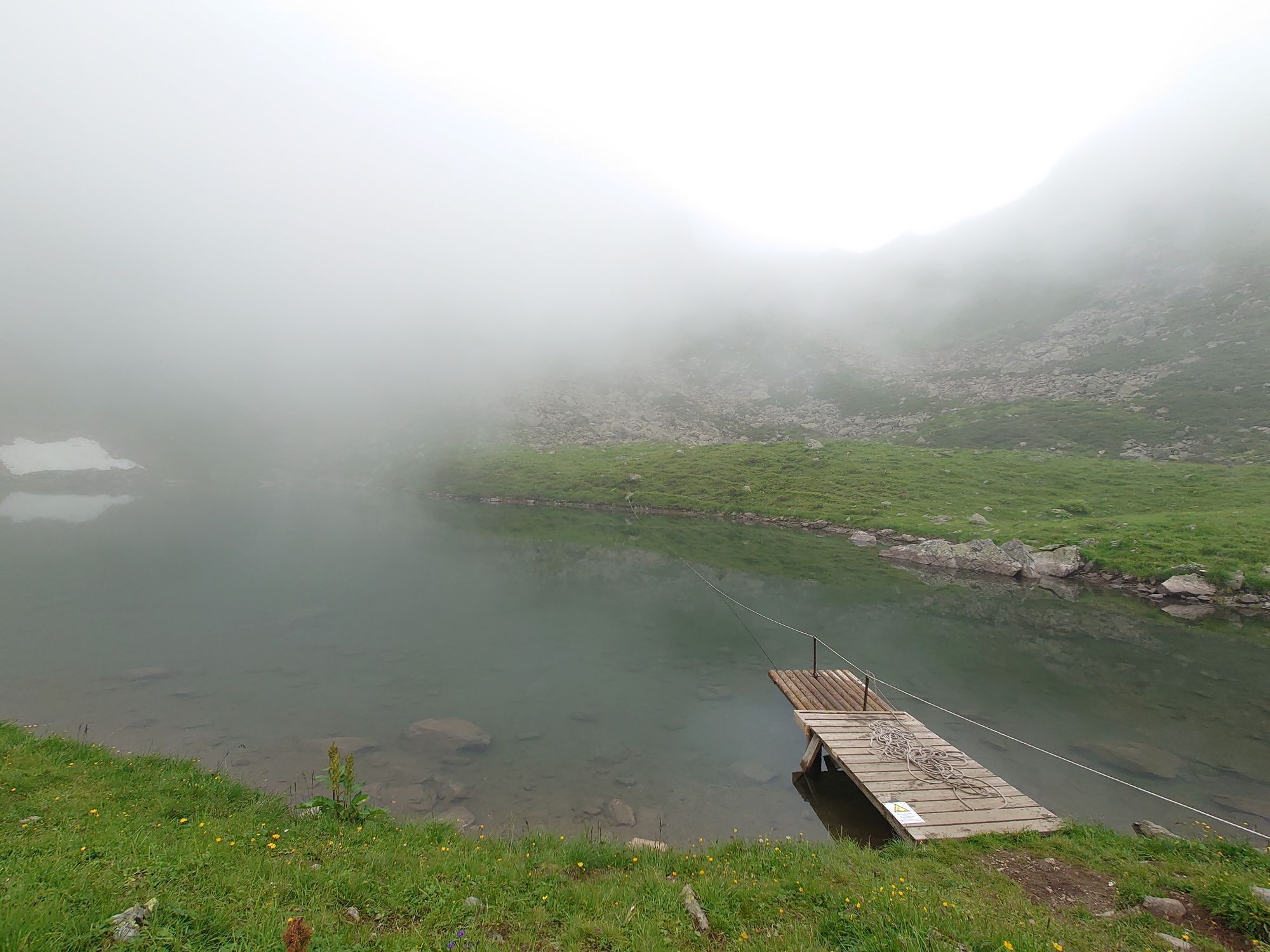
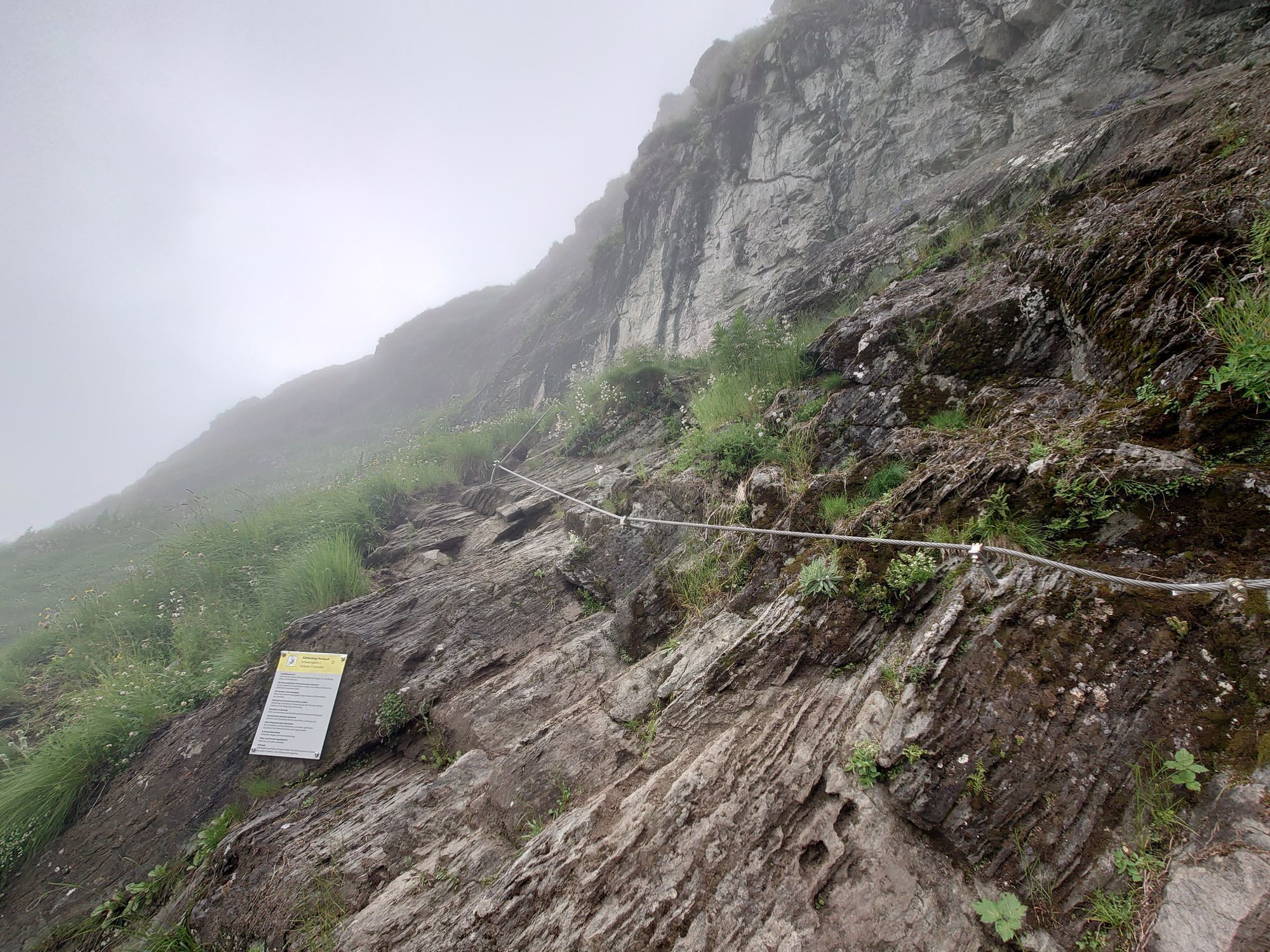
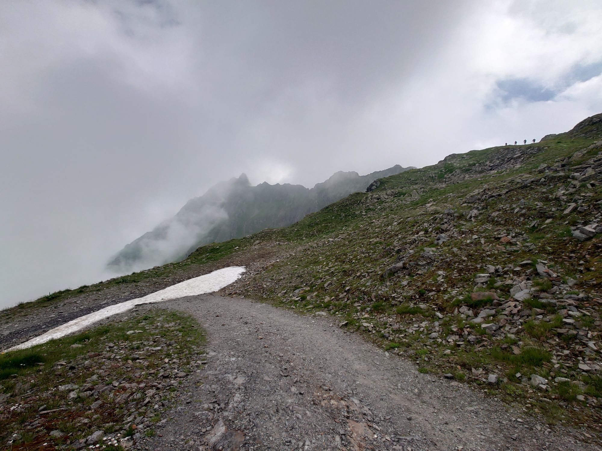
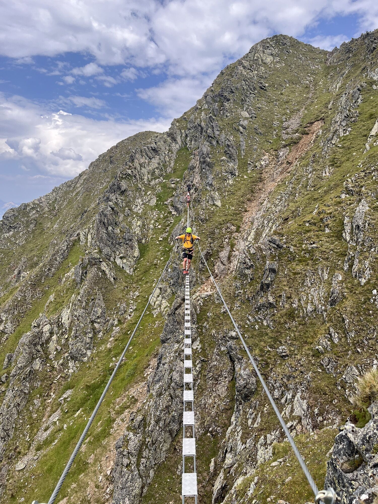
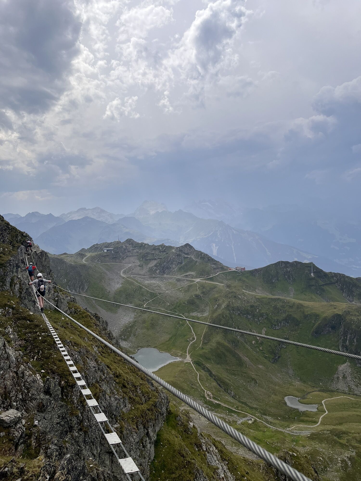
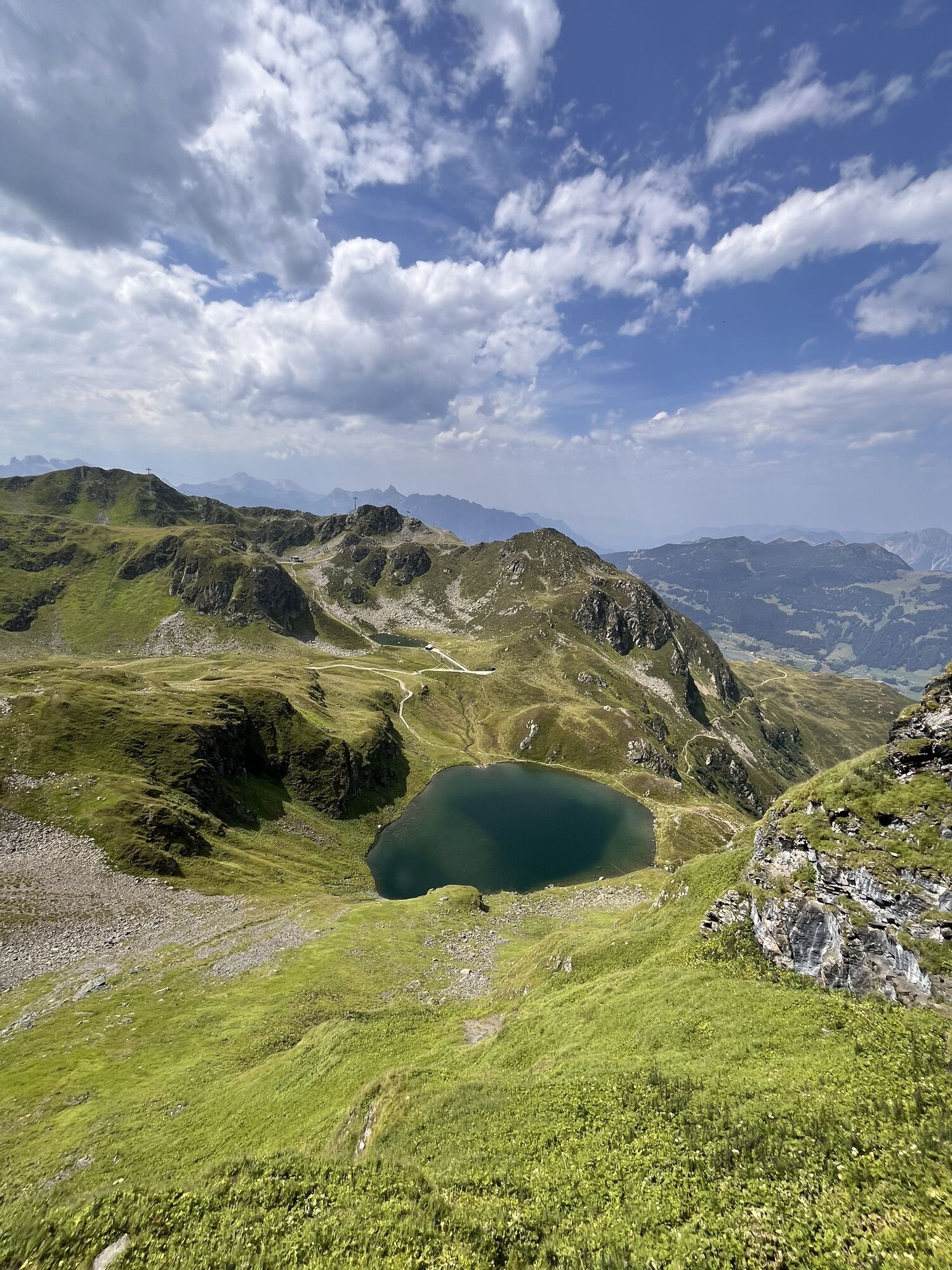
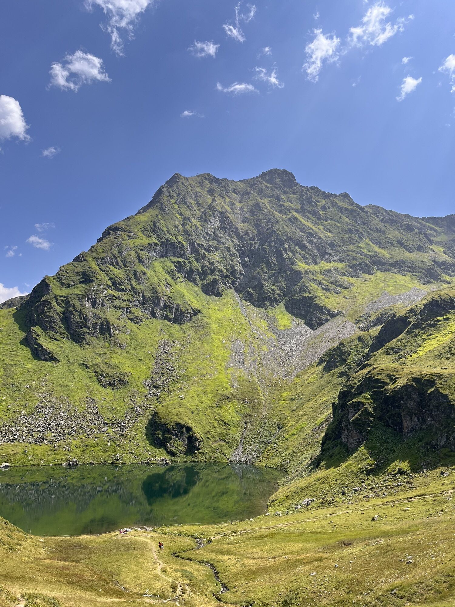
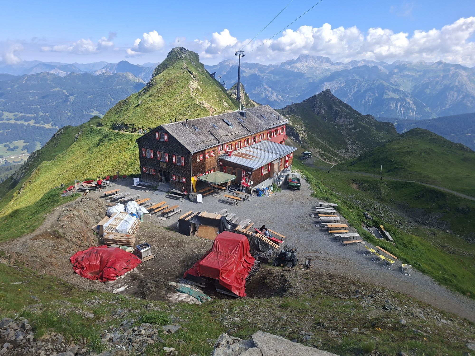
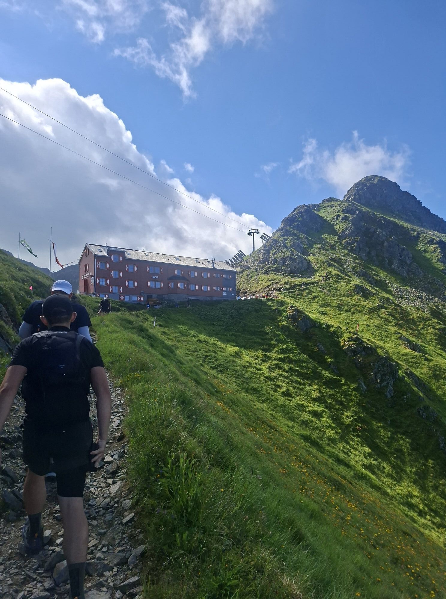
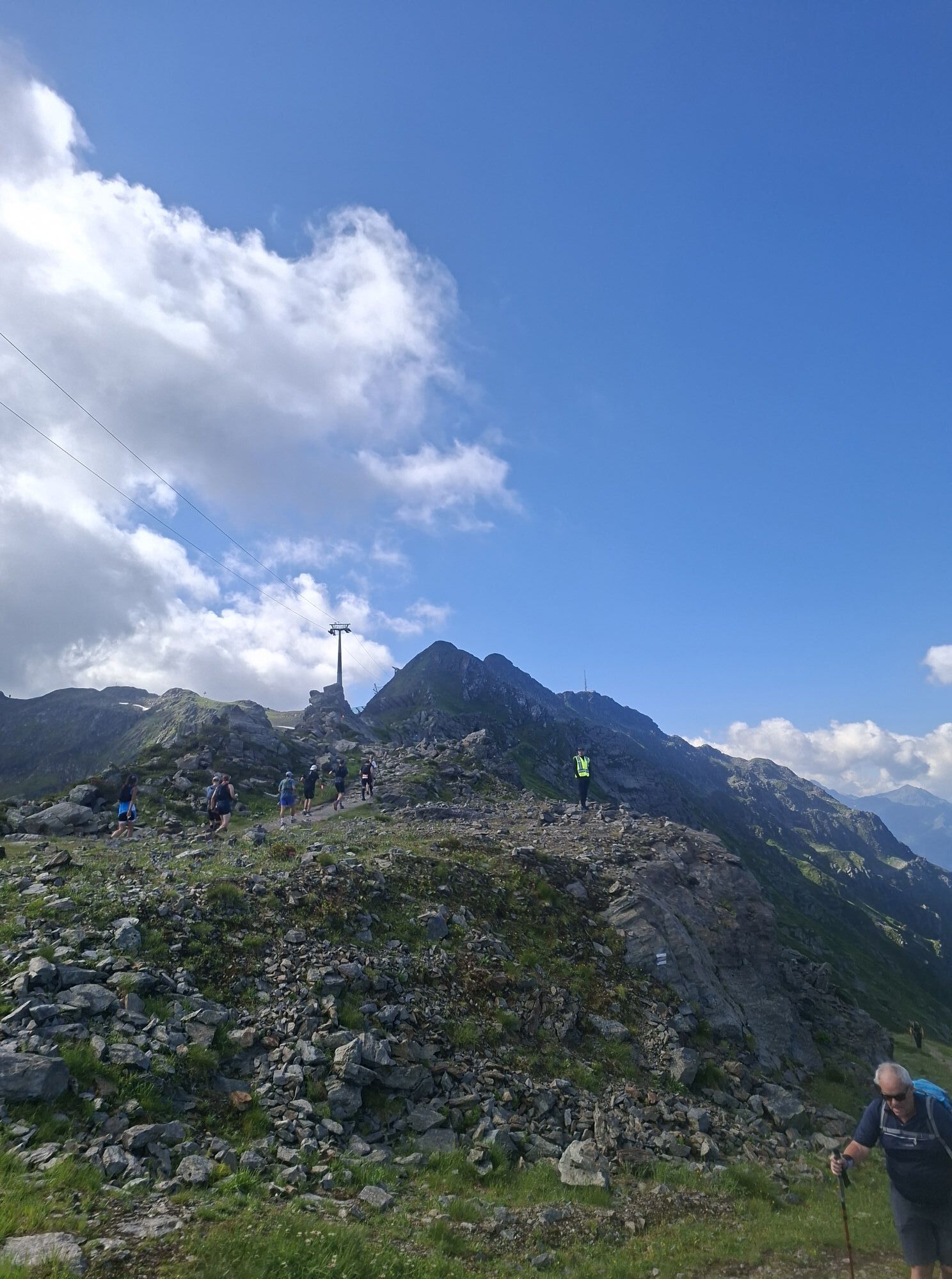
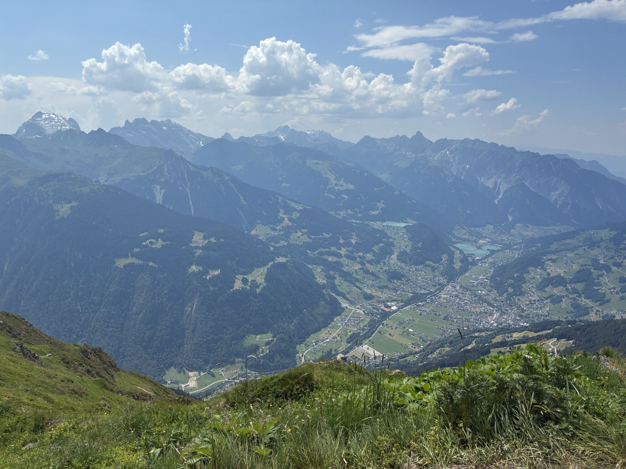
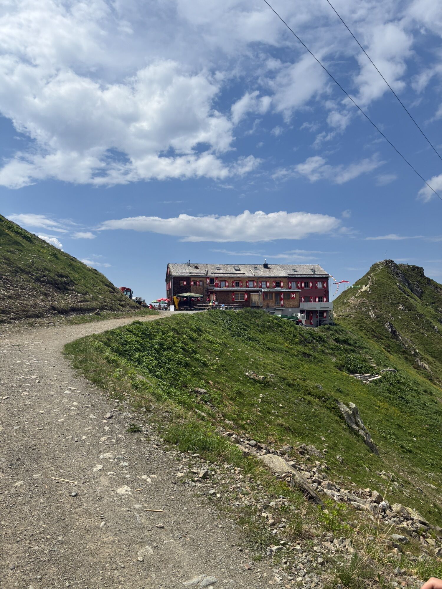
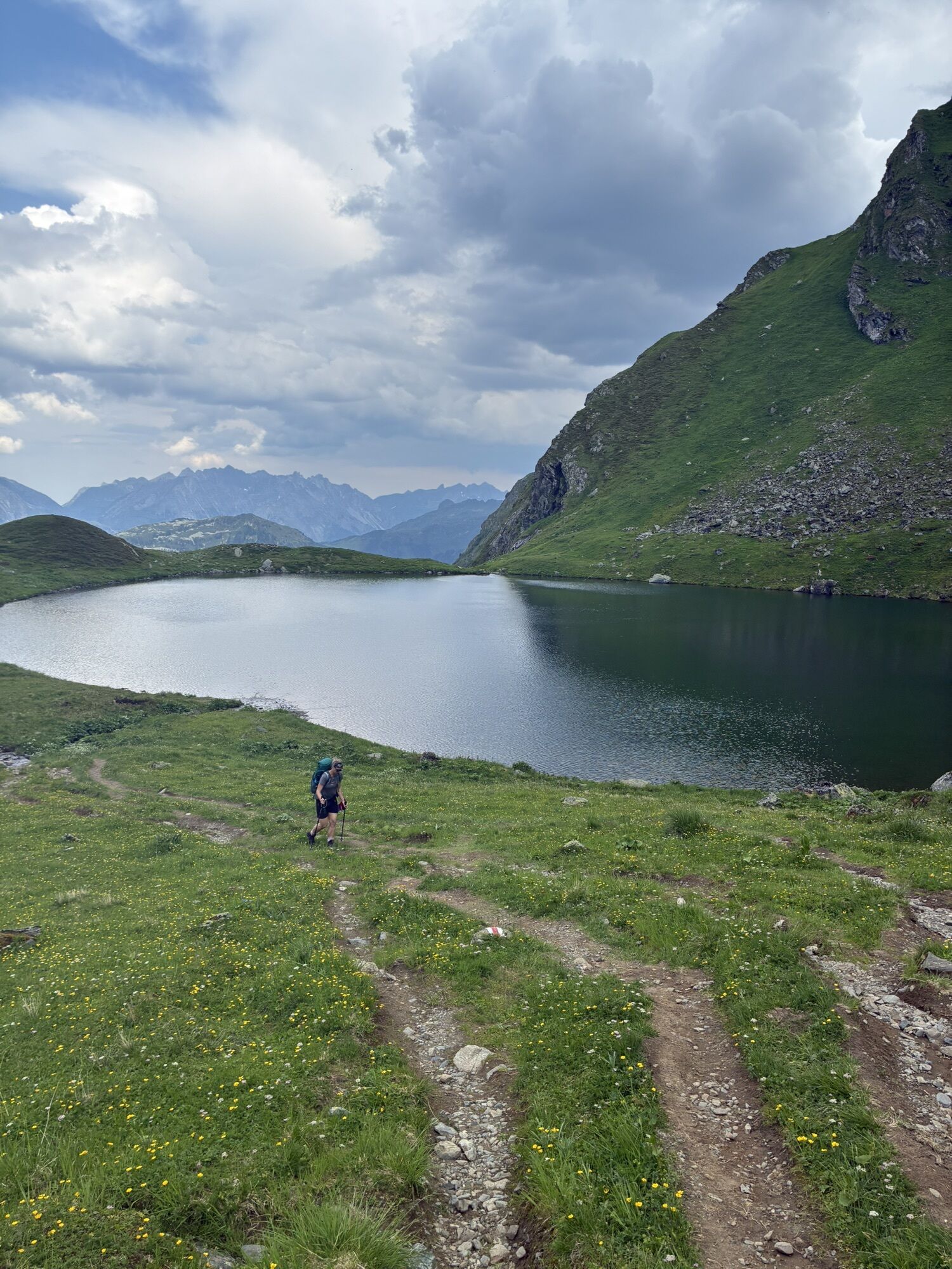
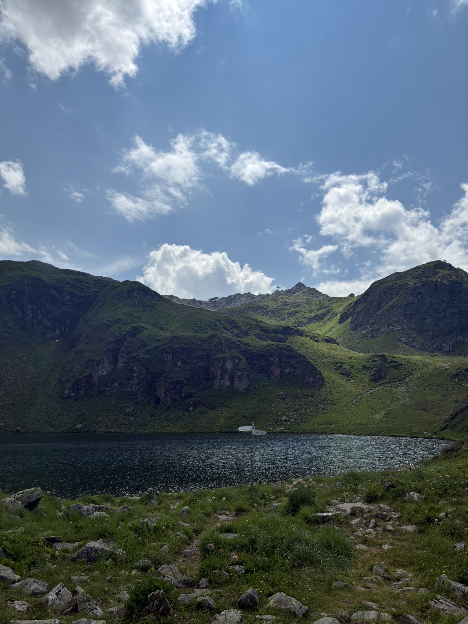
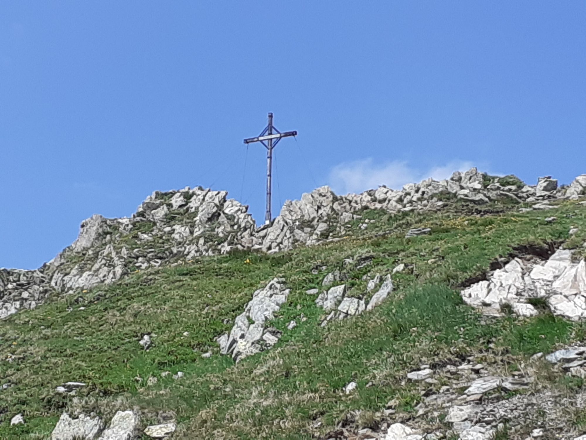
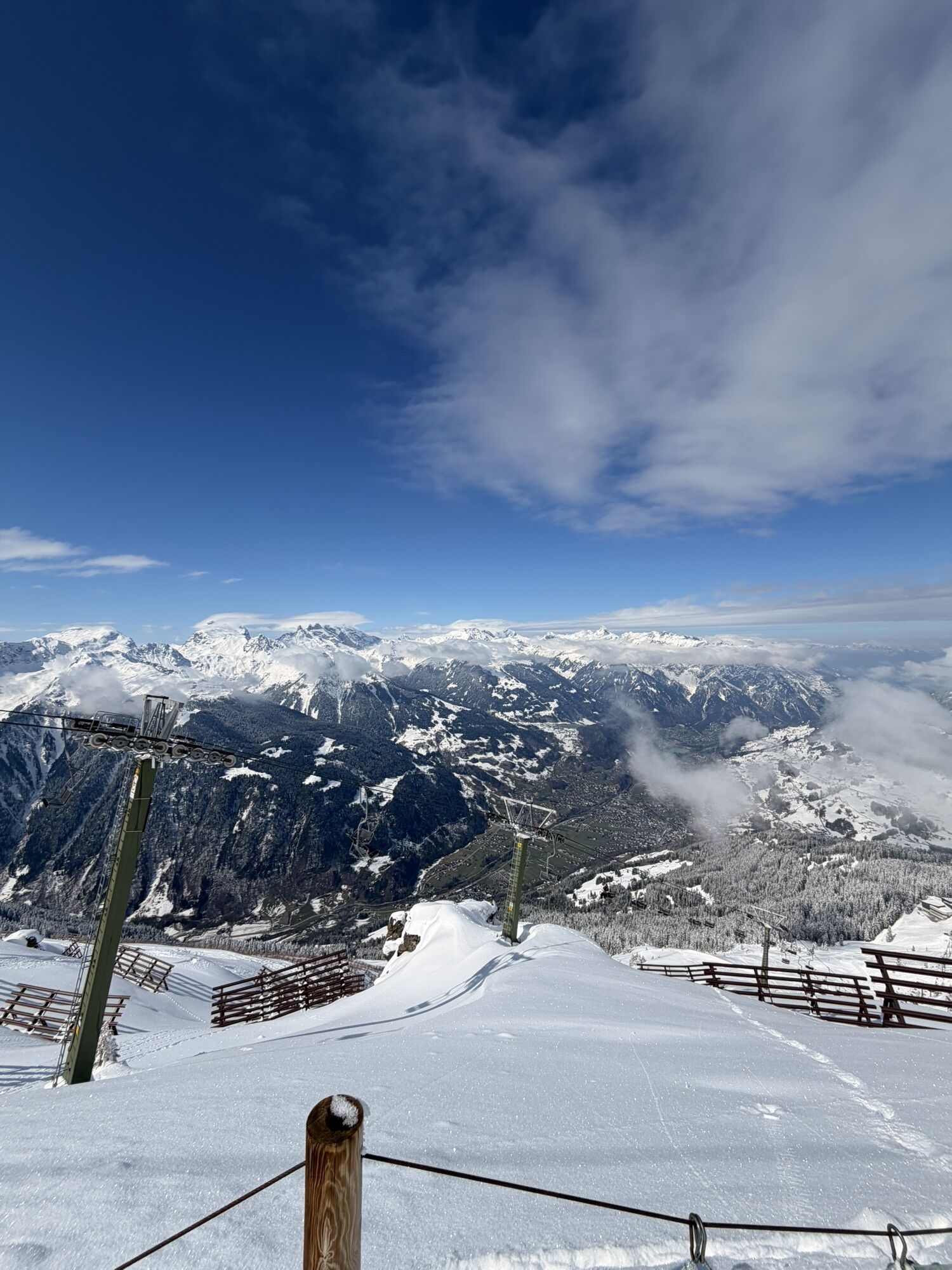
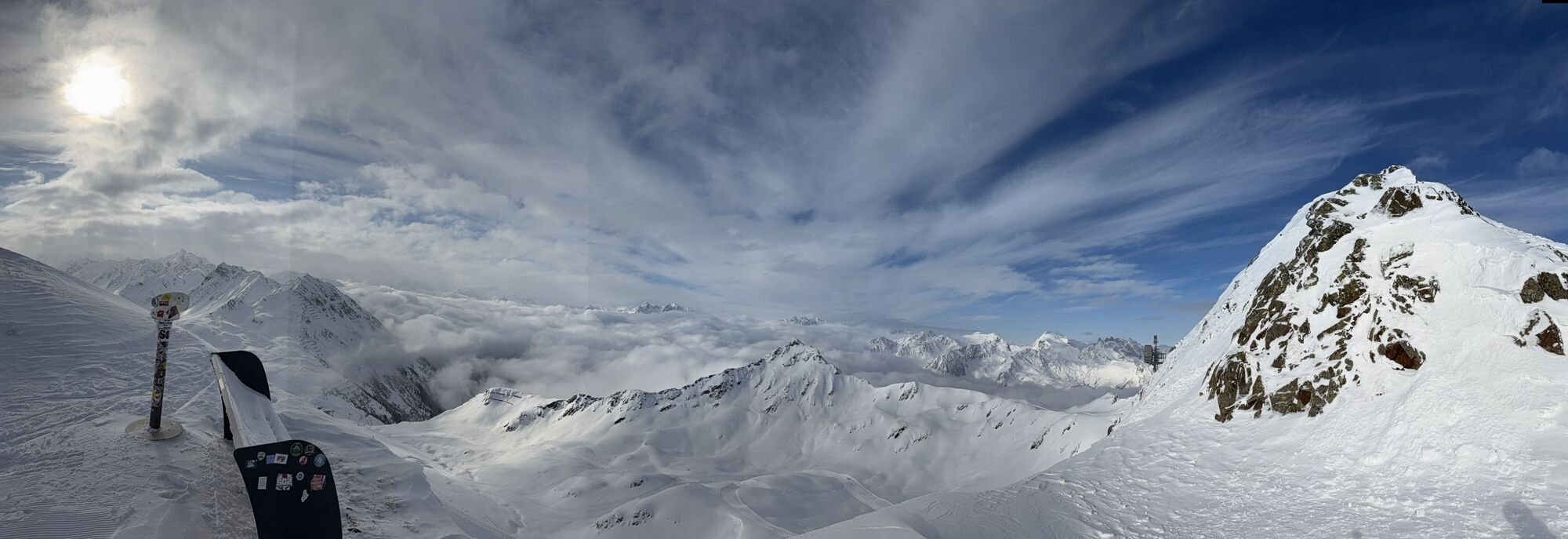
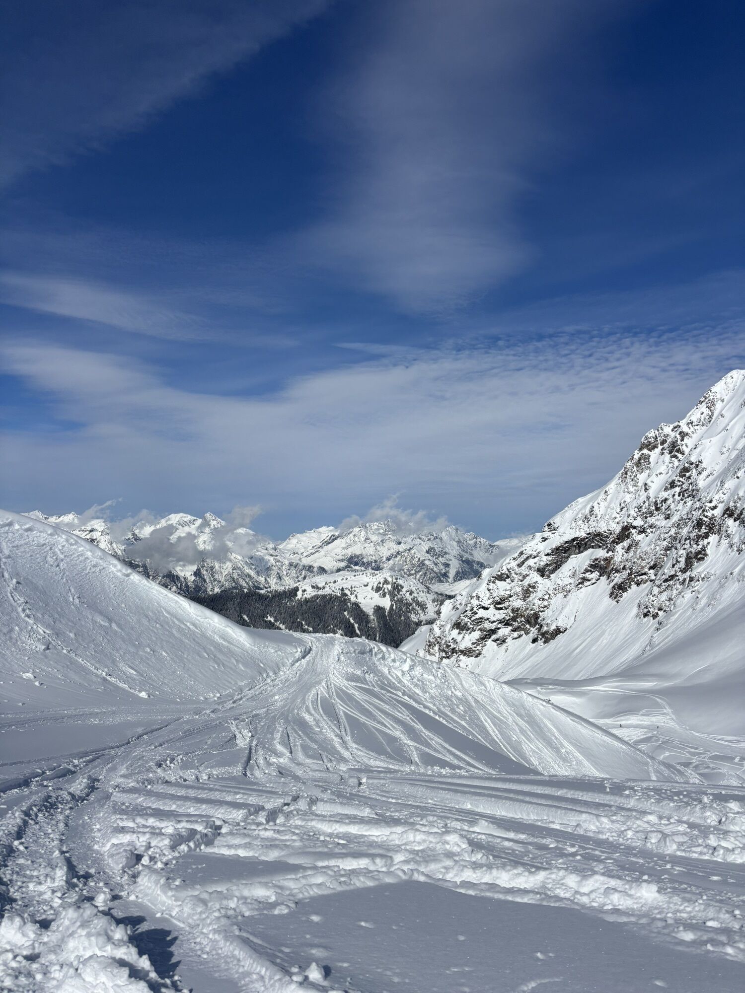
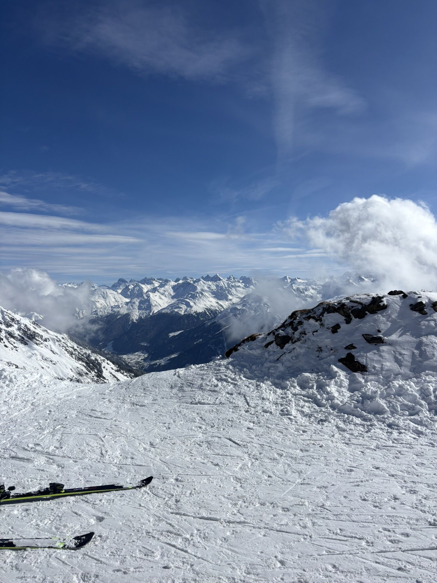
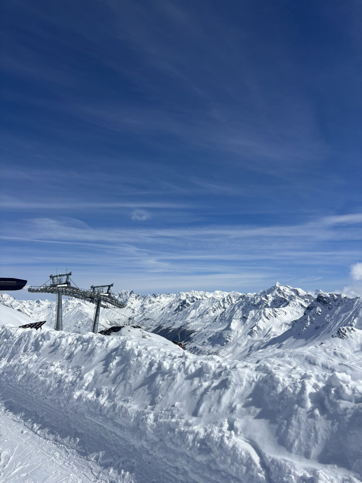
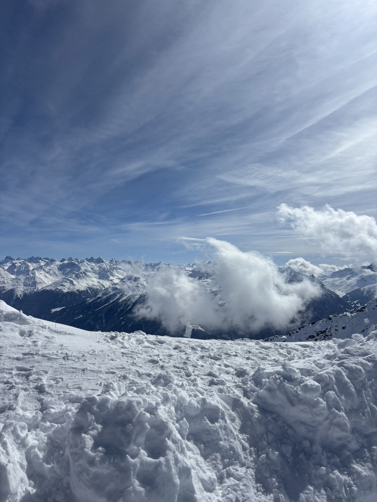
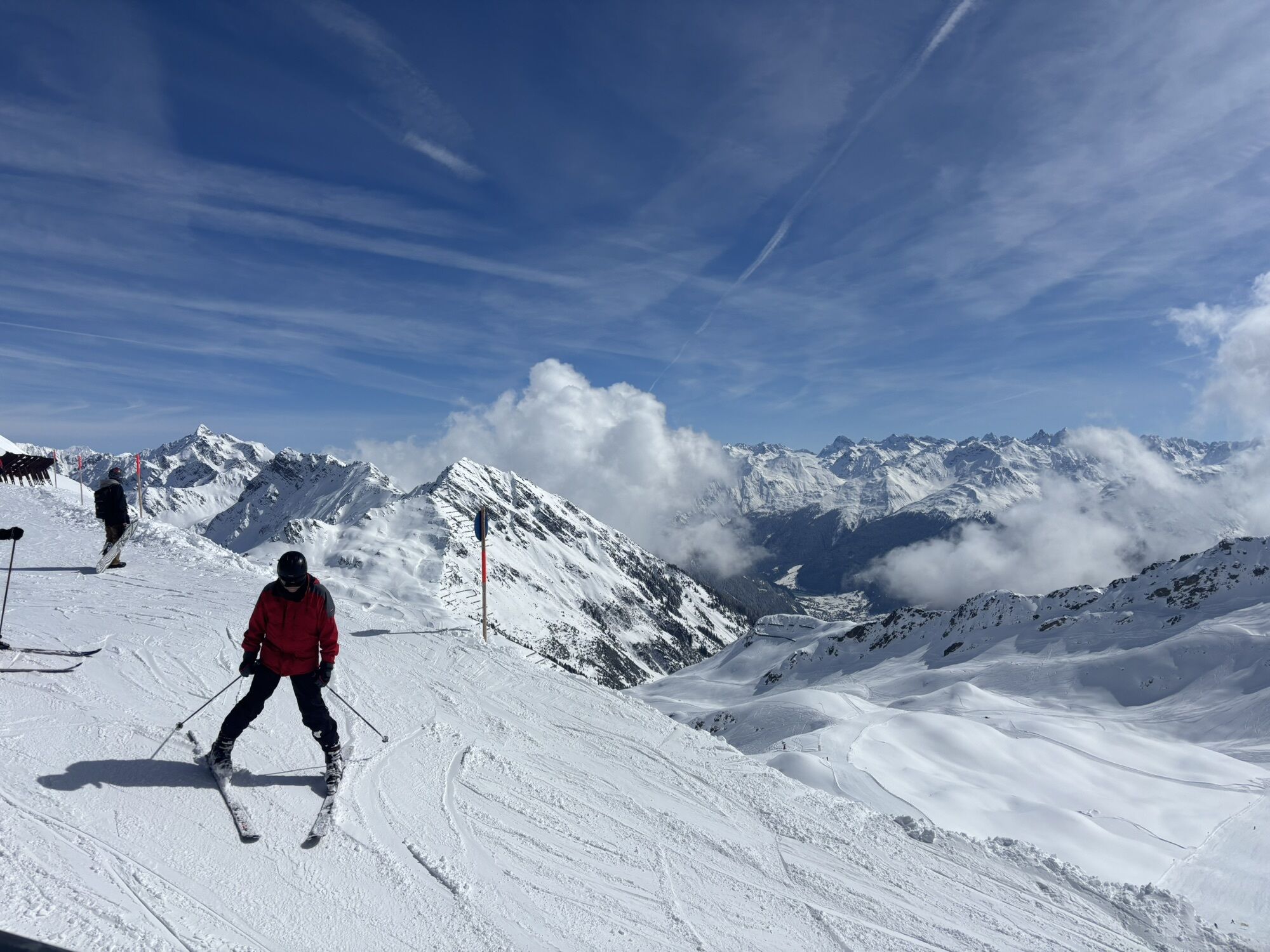
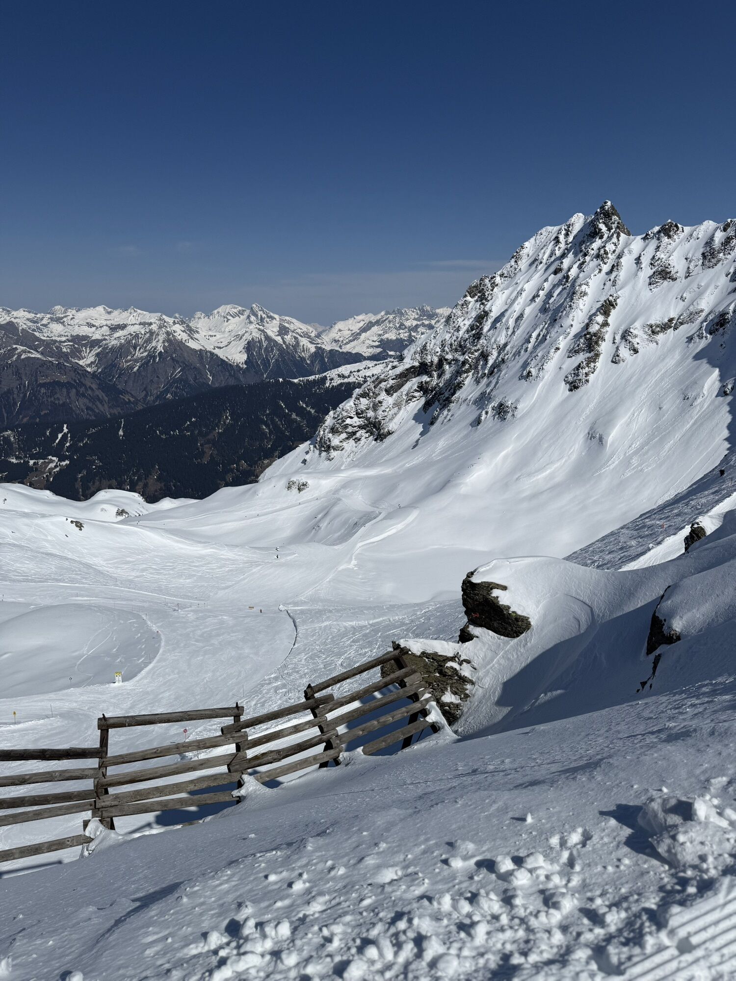
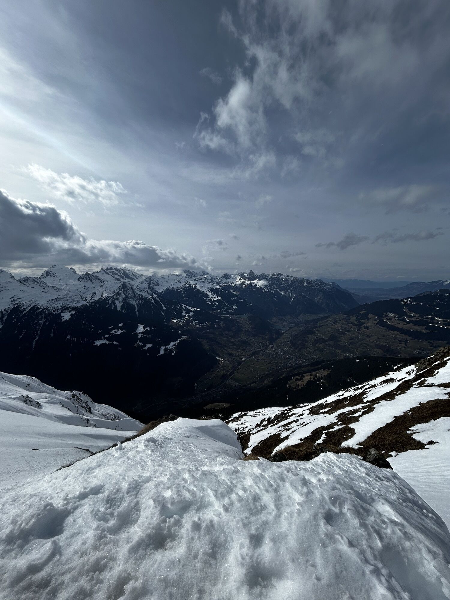
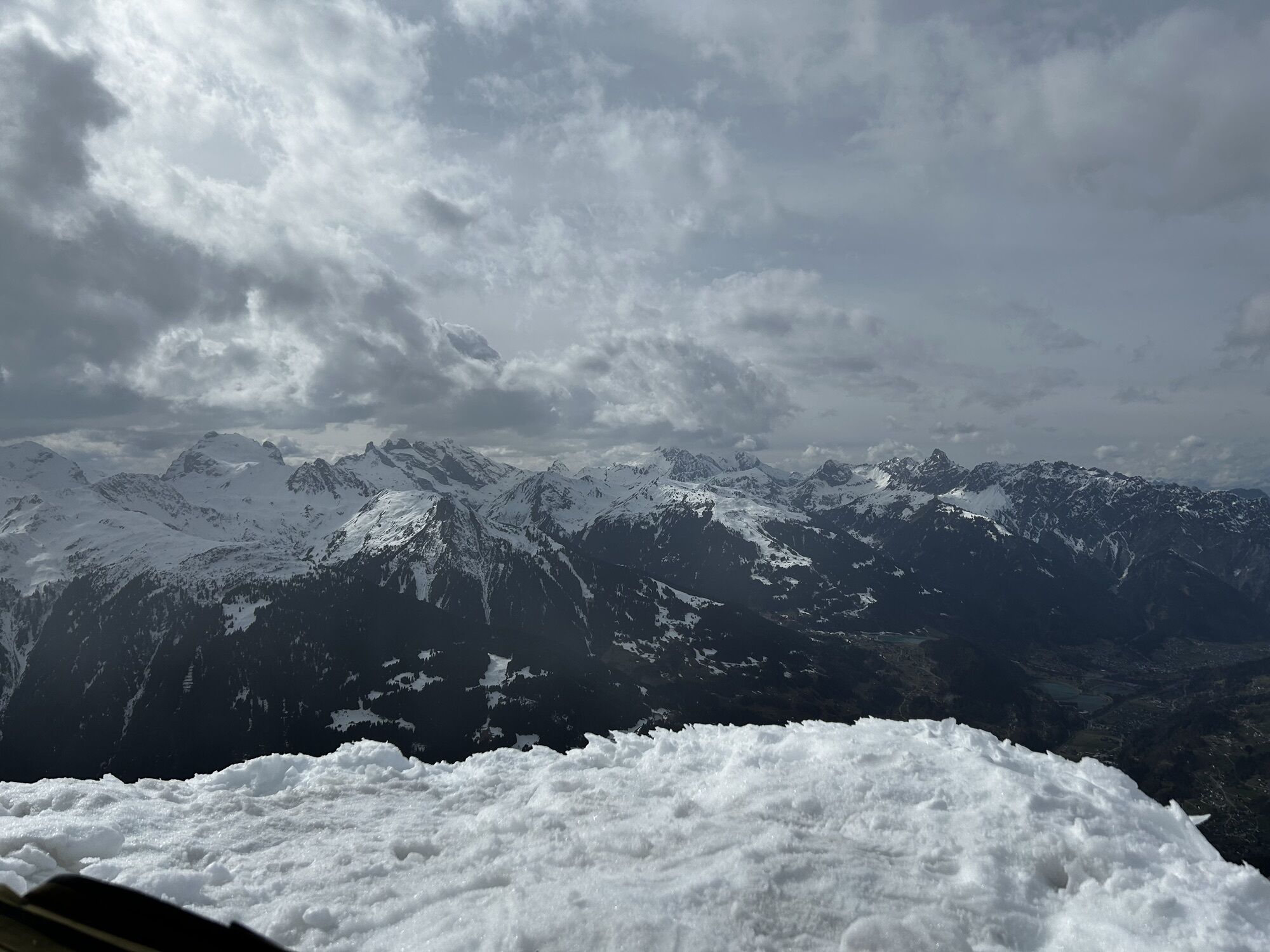
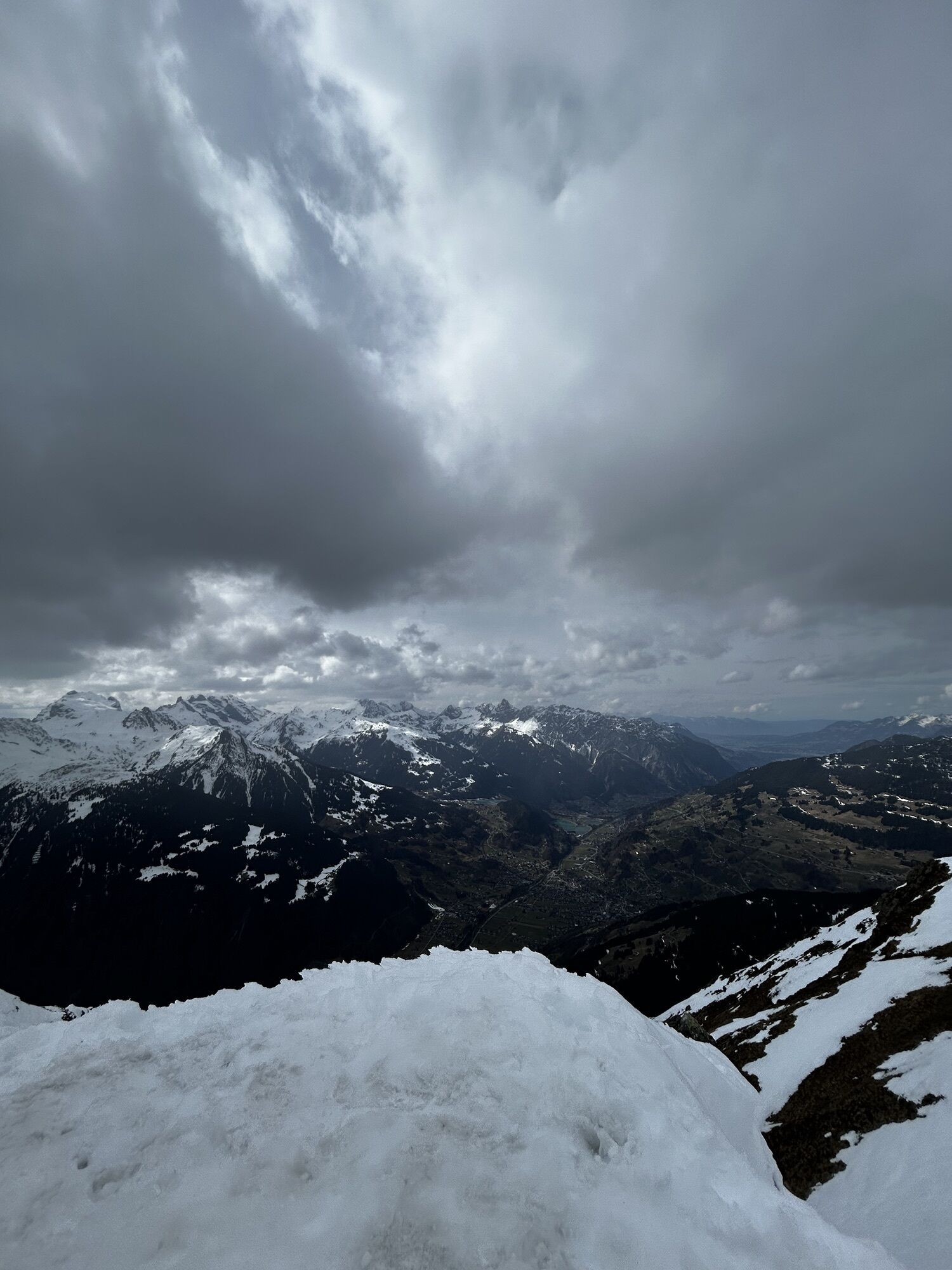
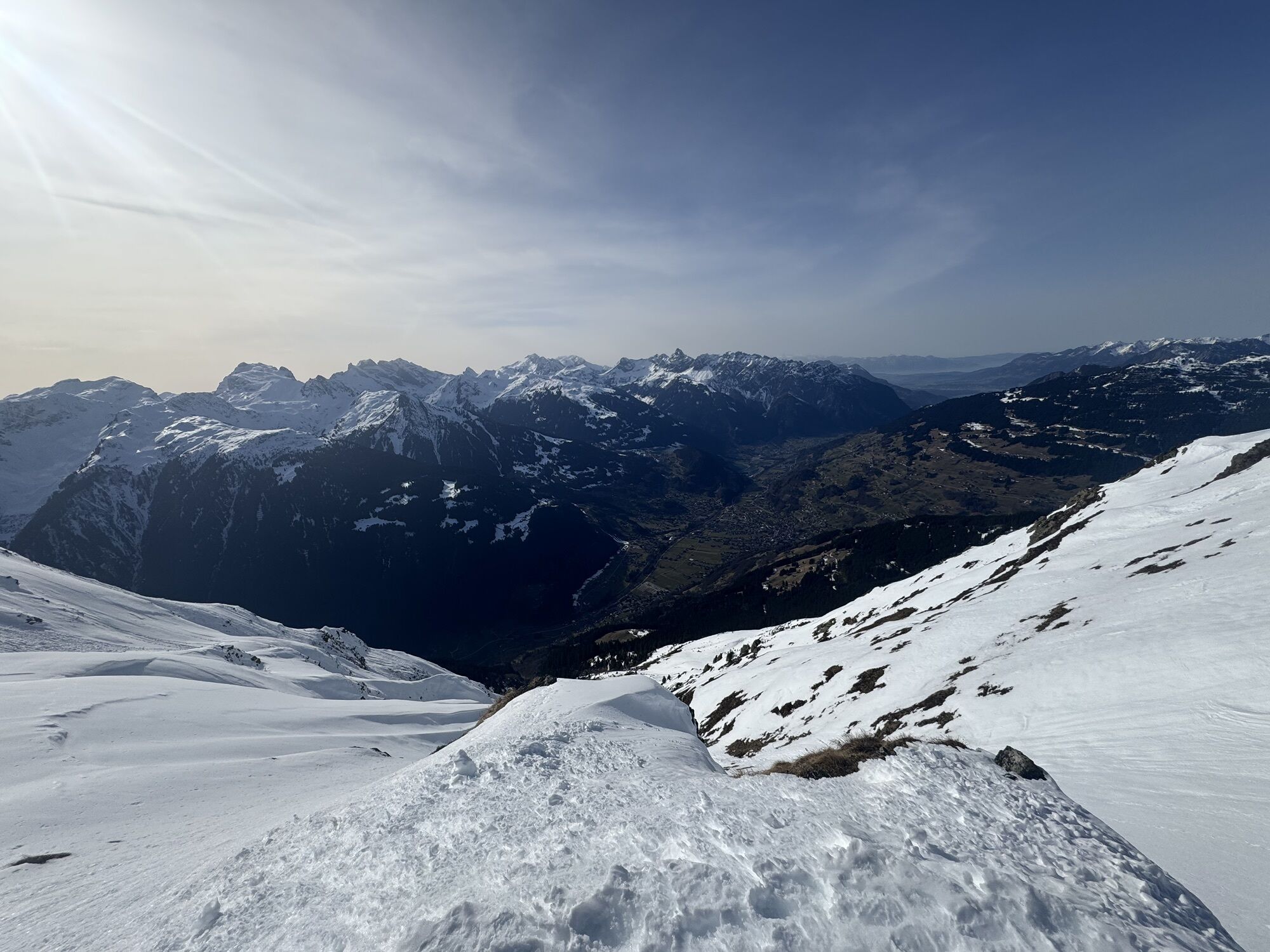
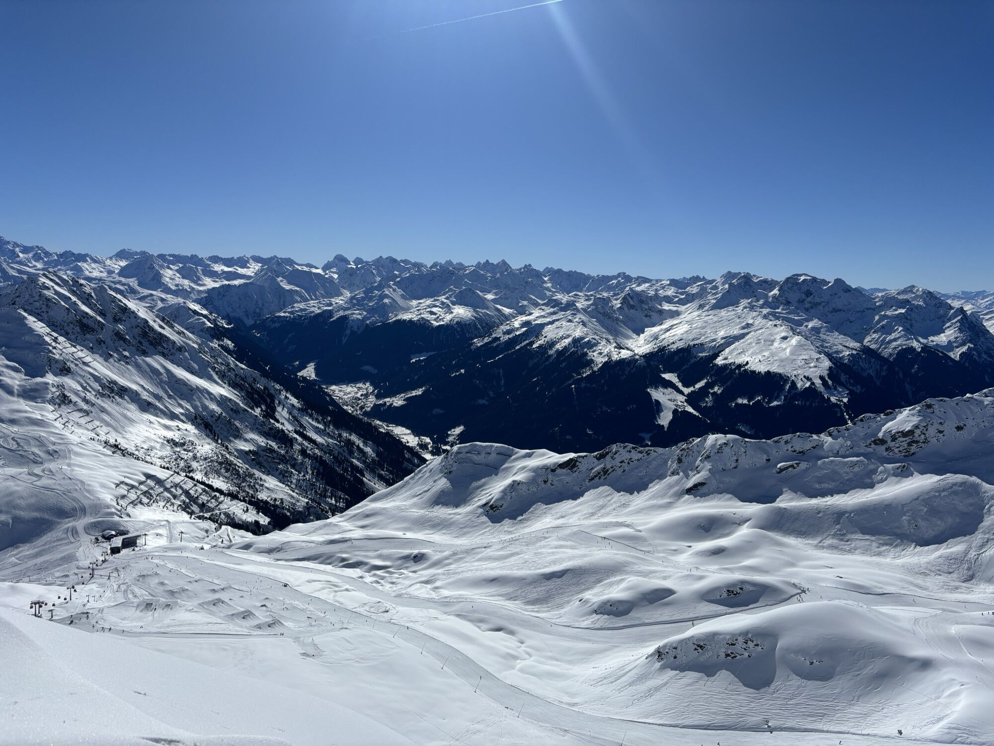
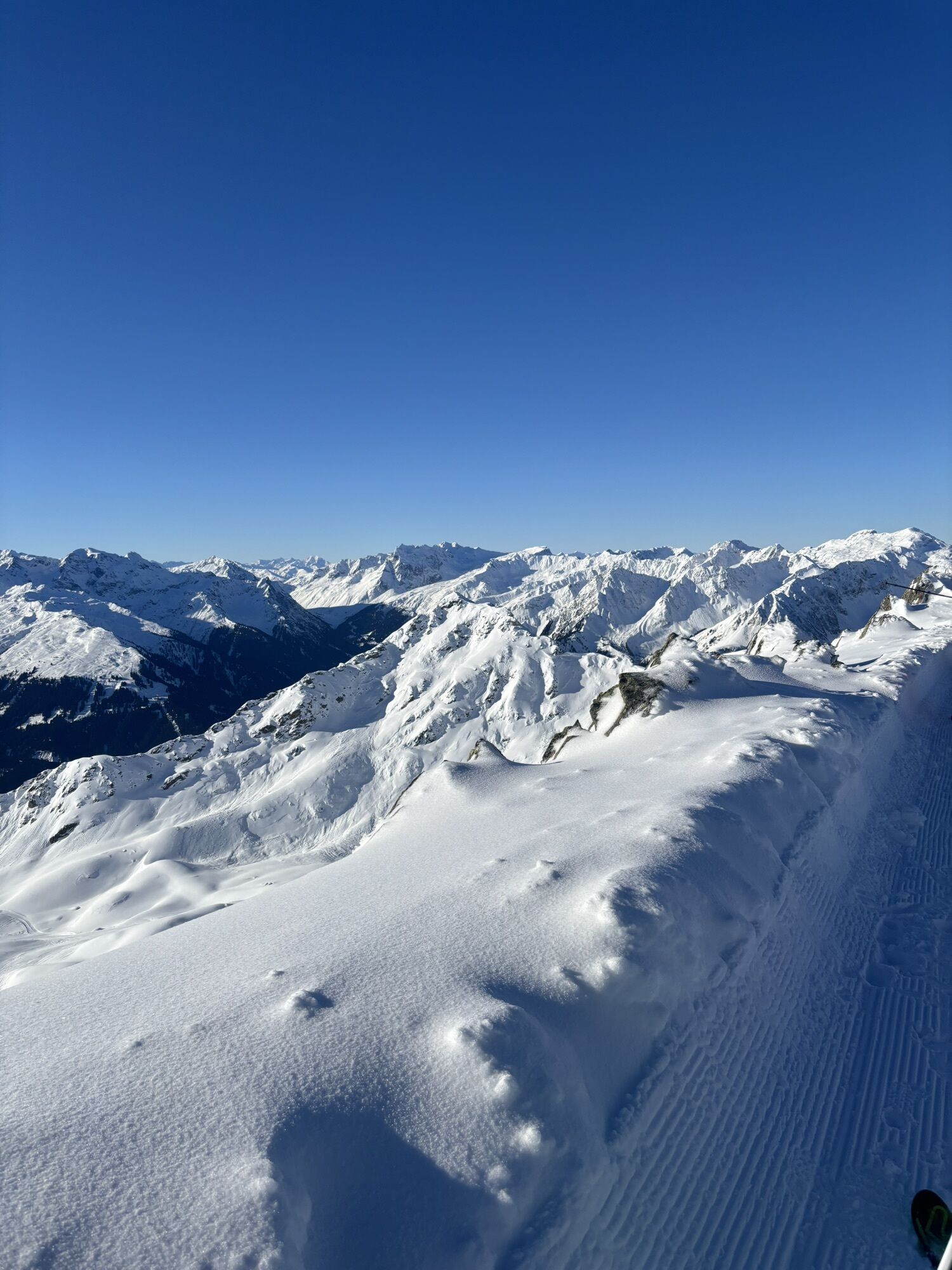
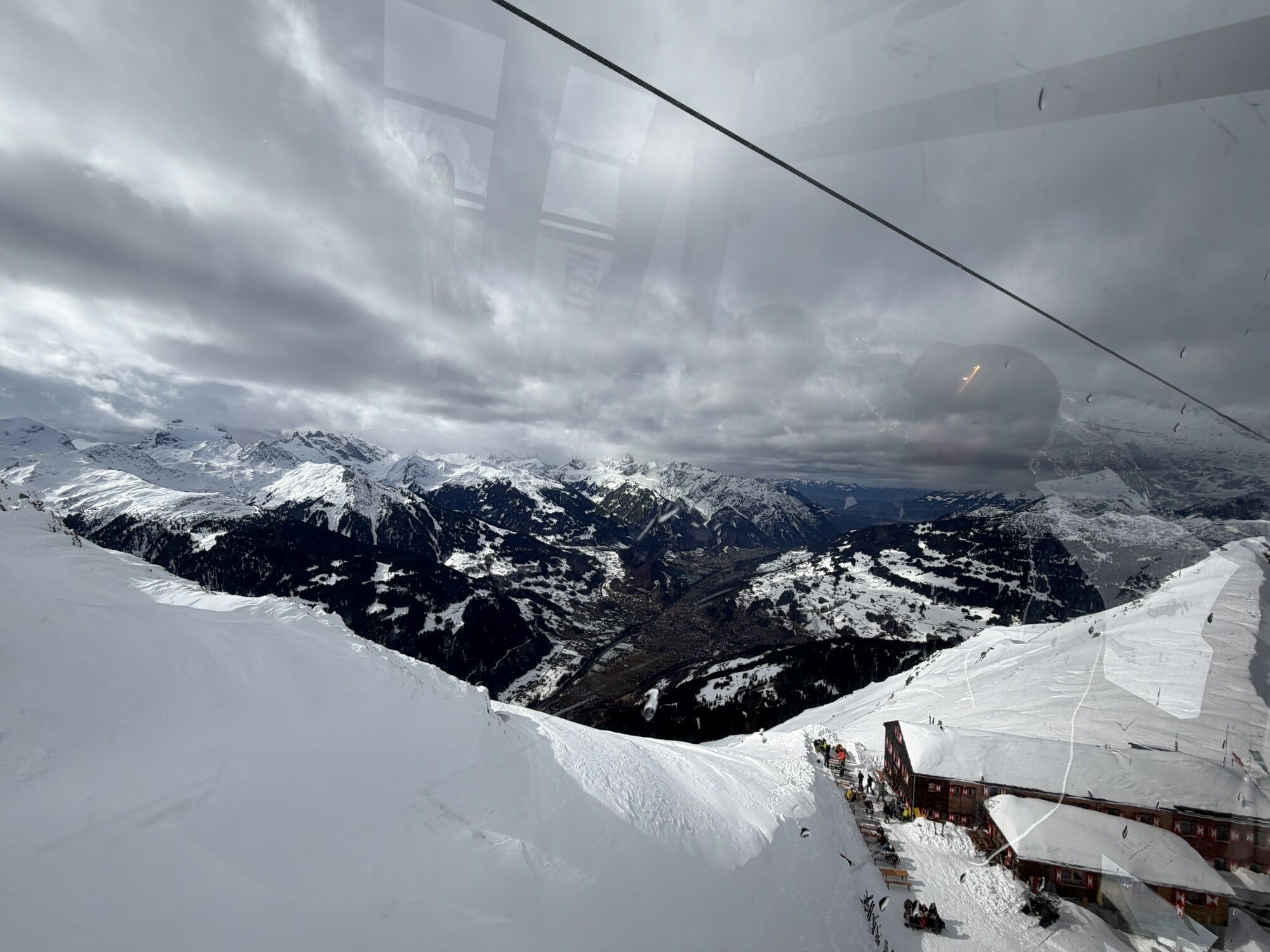
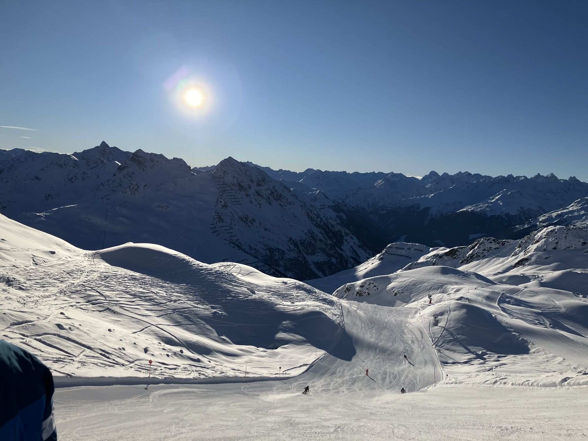
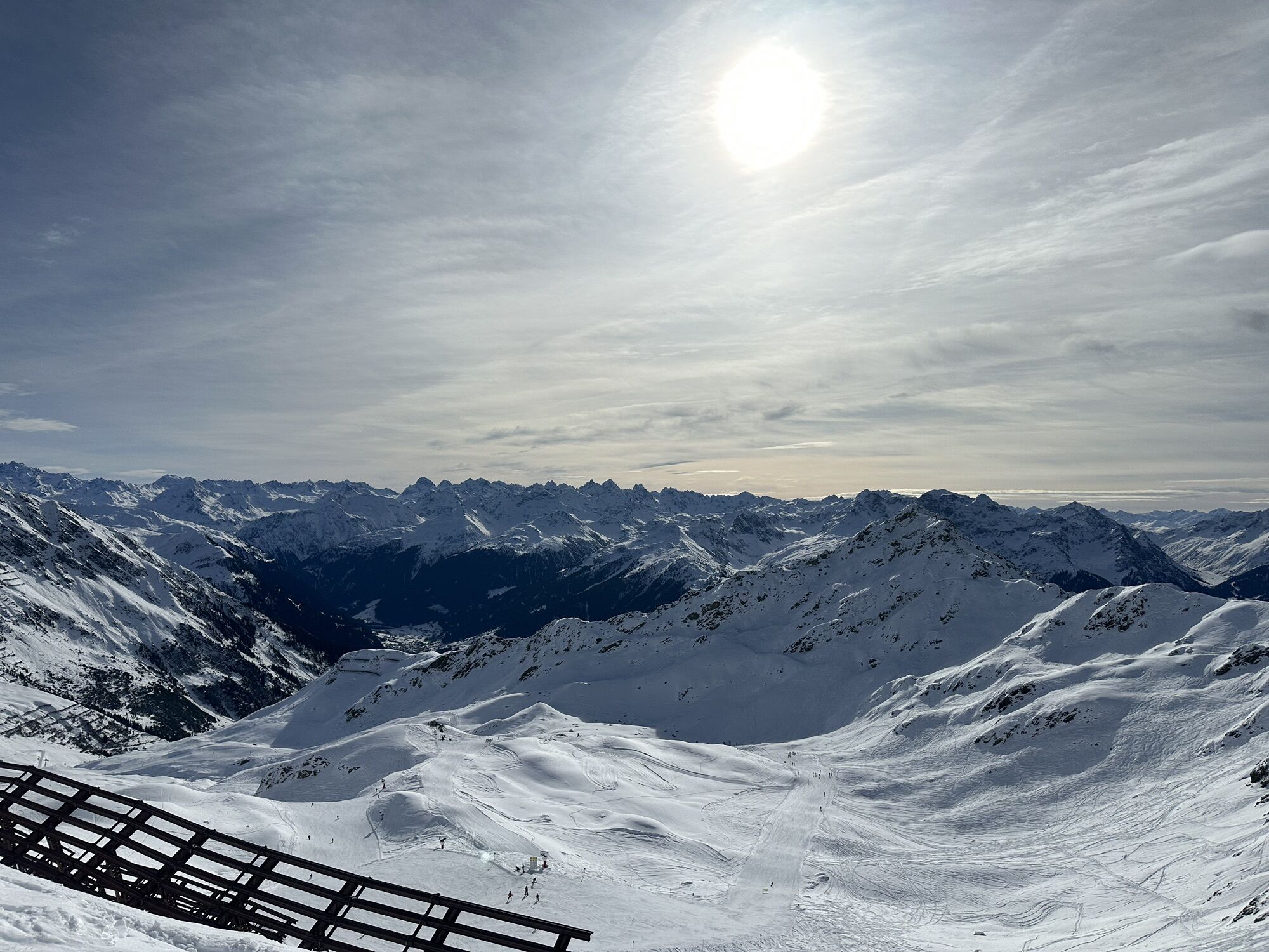
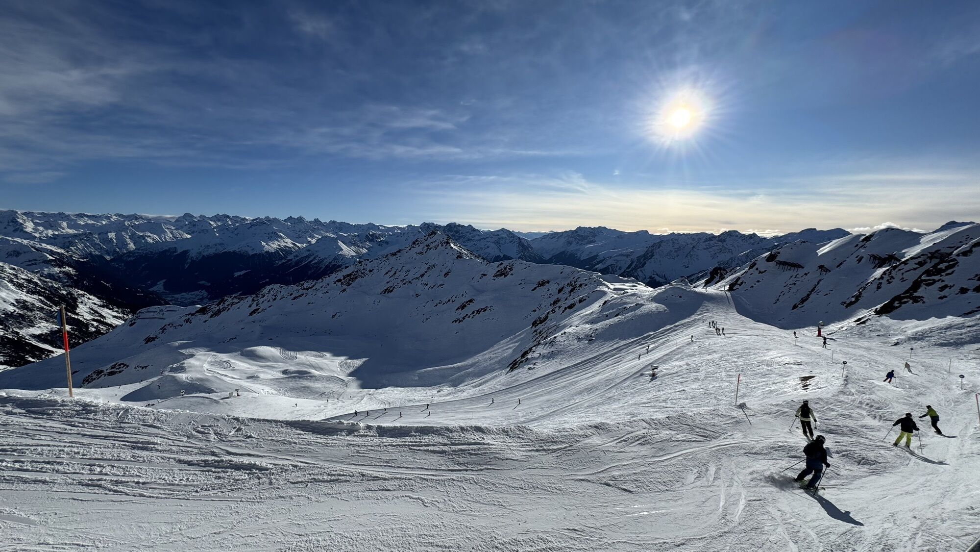
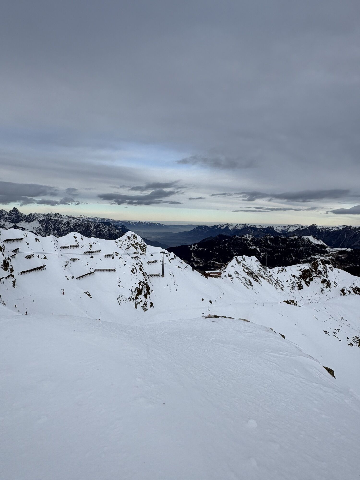
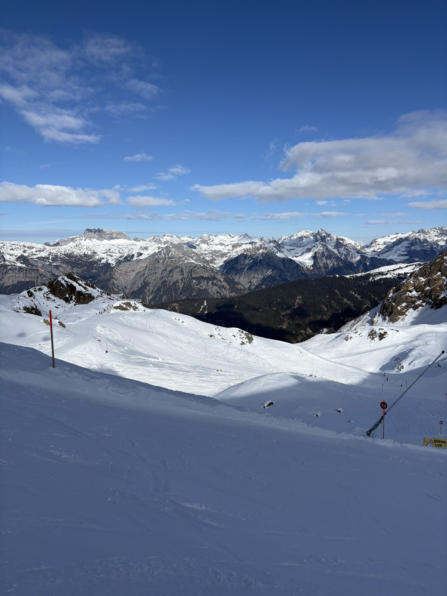
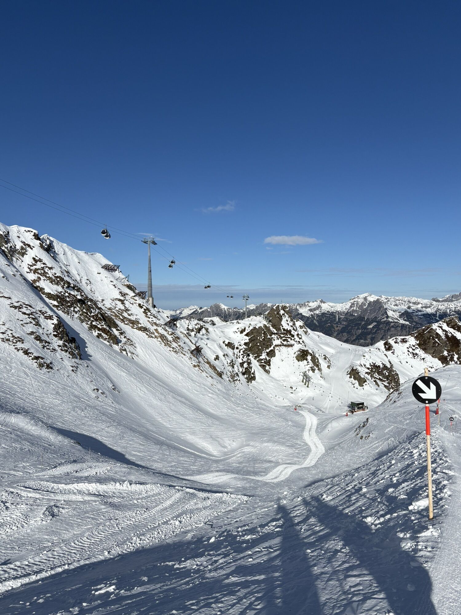
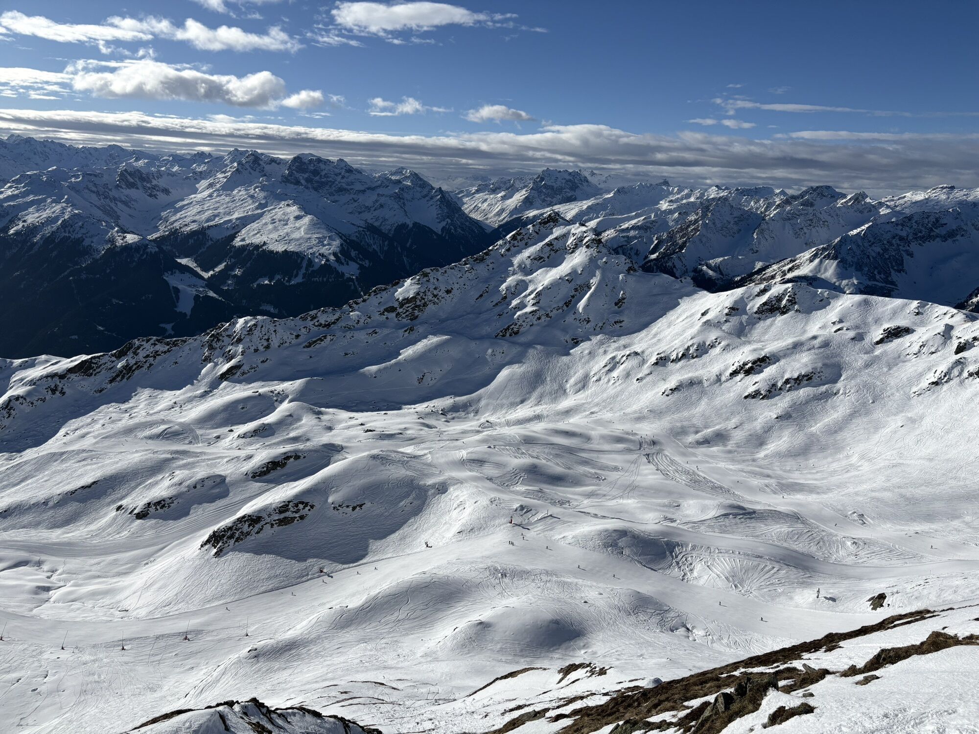
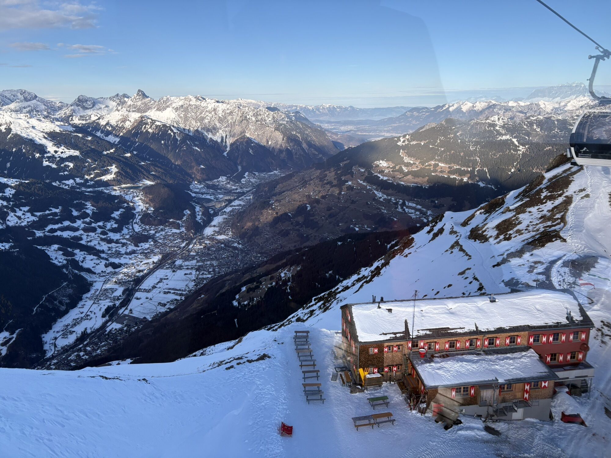
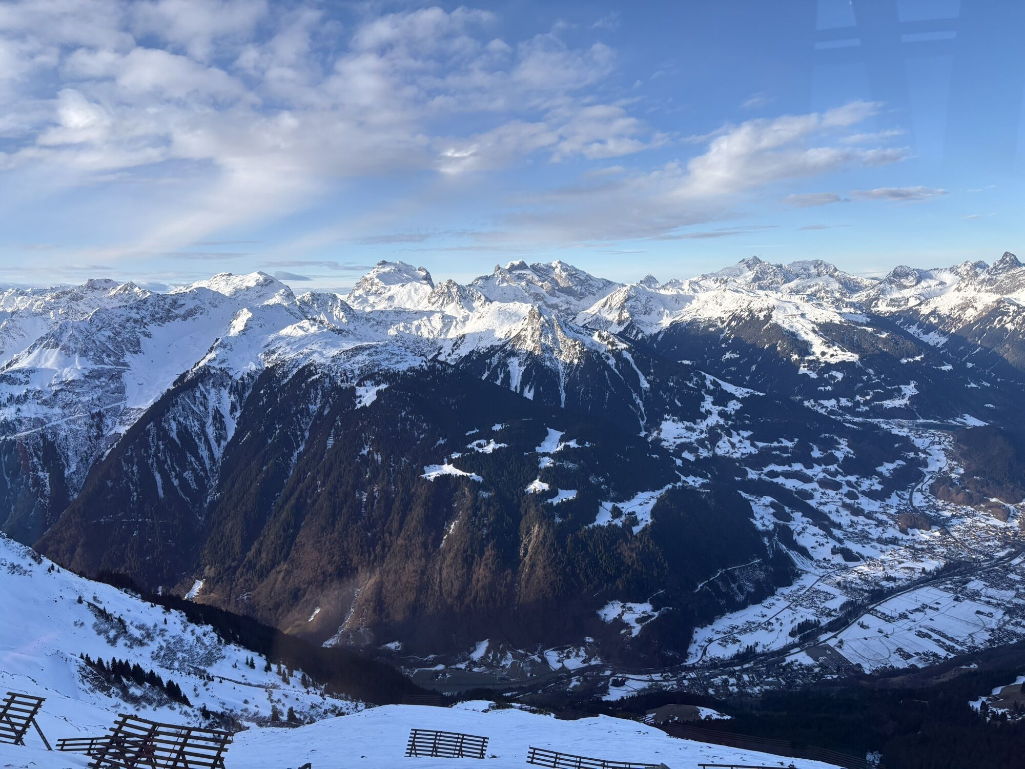
At Hochjoch, via ferrata enthusiasts can expect two variants that impress both scenically and technically. While the physically demanding variation C leads you from Schwarzsee over the west wall to the...
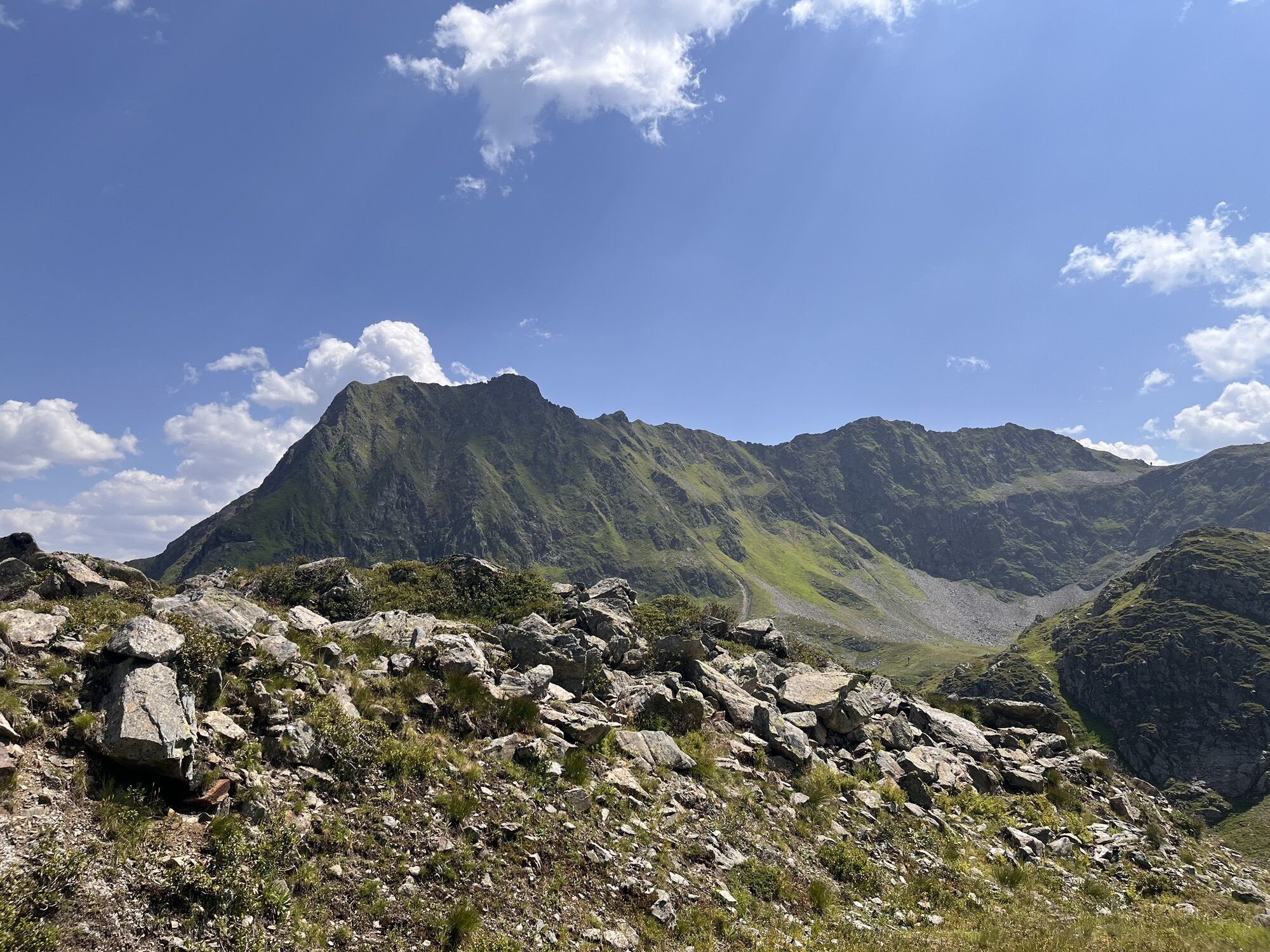
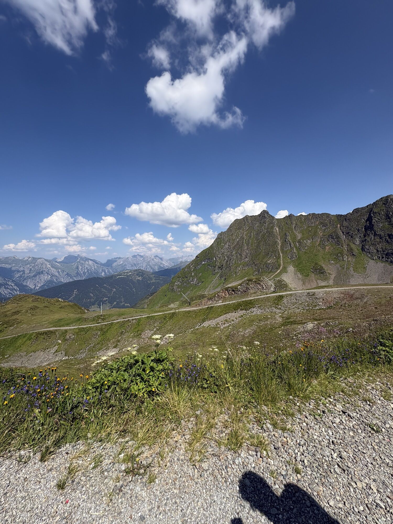
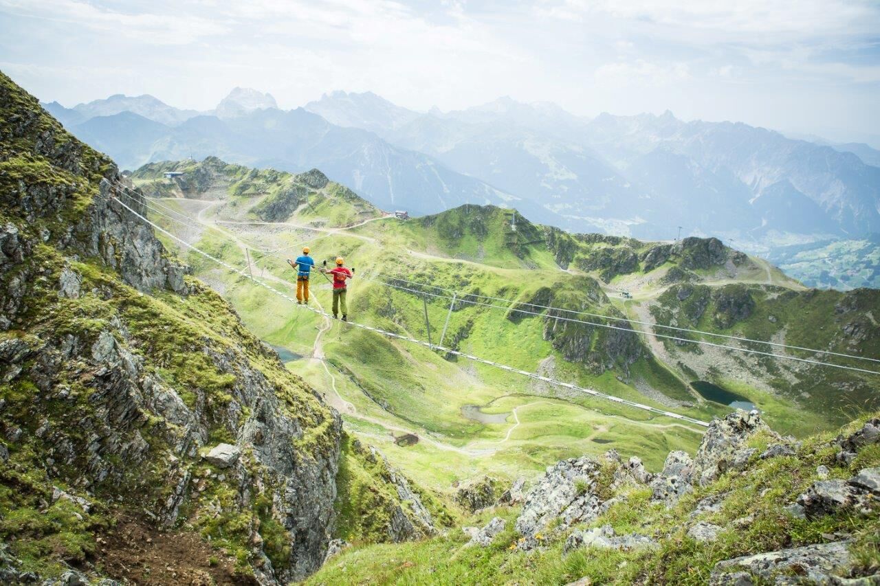
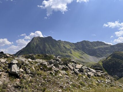
At Hochjoch, via ferrata enthusiasts can expect two variants that impress both scenically and technically. While the physically demanding variation C leads you from Schwarzsee over the west wall to the summit of Hochjoch, on variation A/B you climb over the Hochalpila ridge with breathtaking views of the three mountain ranges Rätikon, Silvretta, and Verwall to Hochjoch. A highlight of the via ferrata is undoubtedly the 60 meter long rope suspension bridge shortly before the summit cross, which you can also bypass securely.
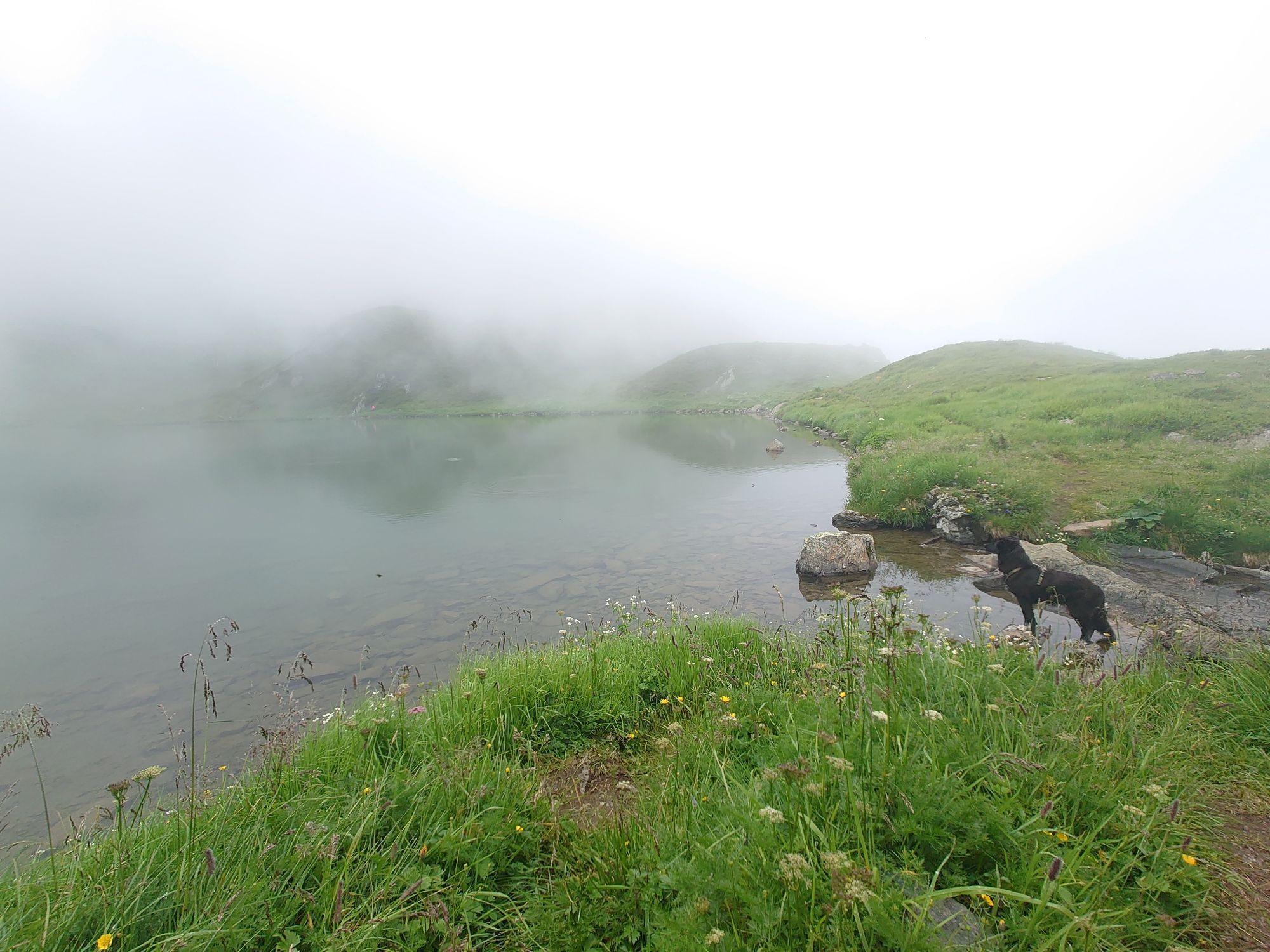
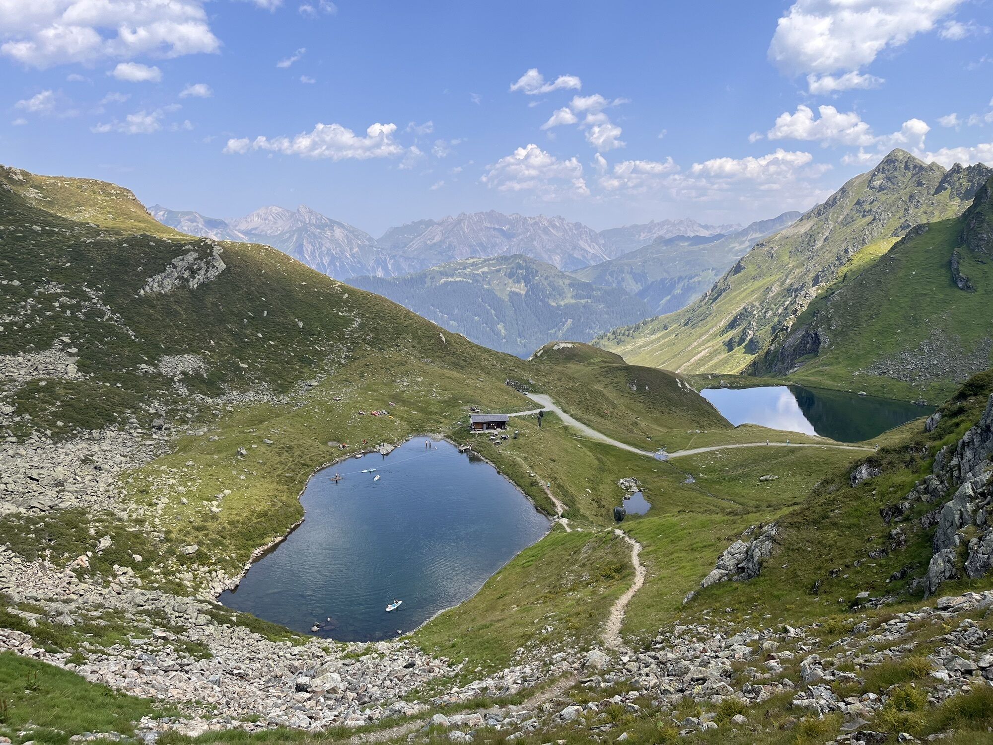
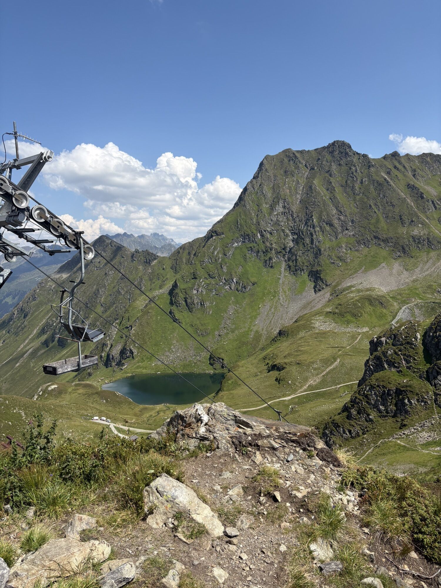
Approach: With the Hochjoch Bahn and the Sennigrat Bahn, you can comfortably get to the Sennigrat. From there, you first follow the marked trail (Hochjoch via ferrata) downwards. This passes the Kälbersee and continues to Schwarzsee, from where it takes about 20 minutes on a clearly visible, steep grassy path directly to the start.
Descent: The exit is located at the mountain station of the Hochalpila Bahn (limited summer operation). From here, a marked trail leads past the Wormser Hut to the mountain station of the Sennigrat Bahn, from where you return to the valley by chairlift and Hochjoch Bahn.

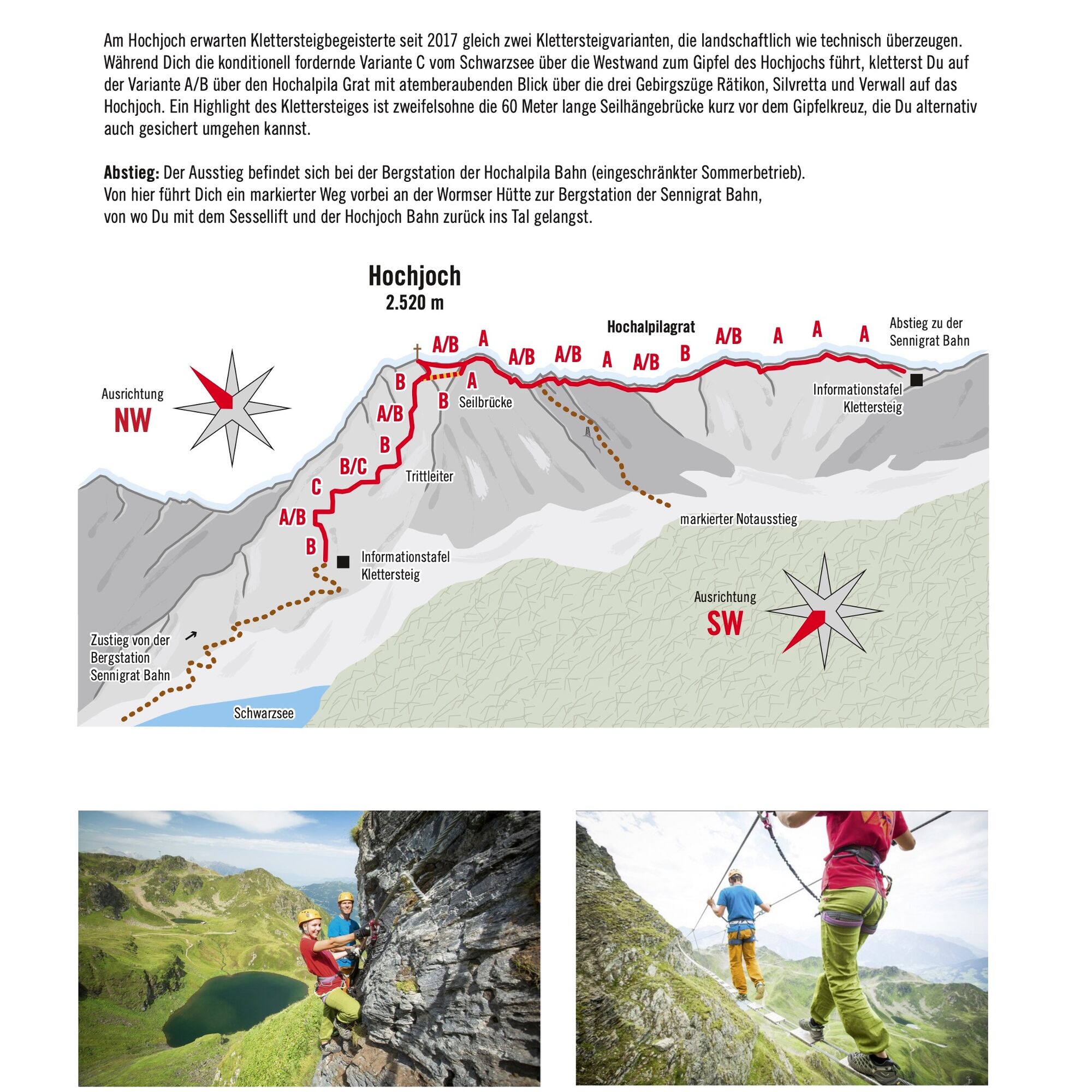
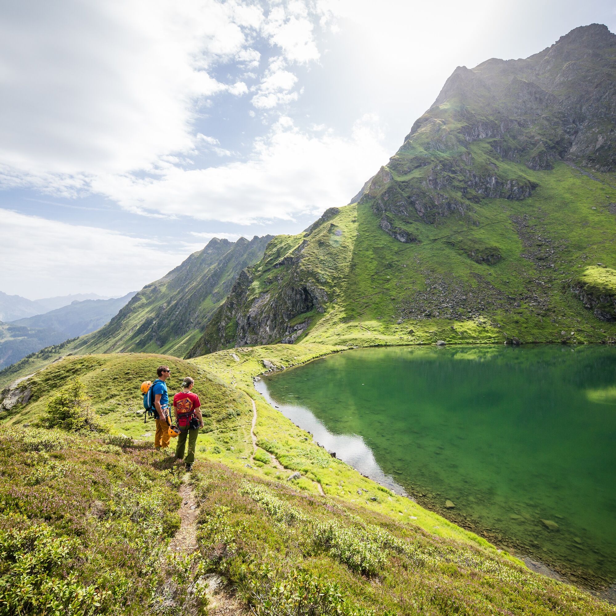
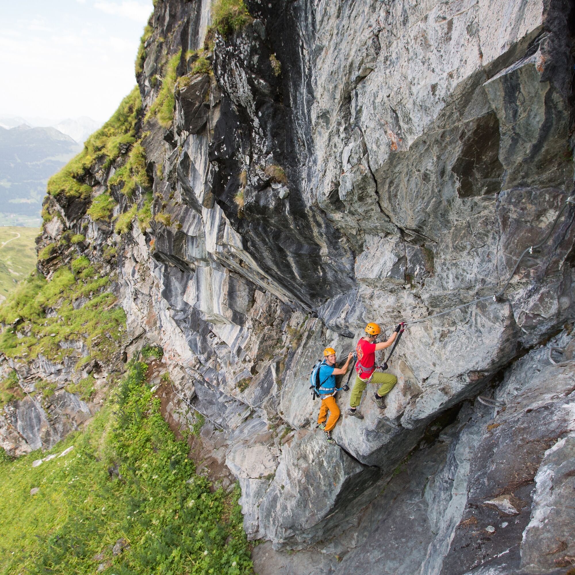
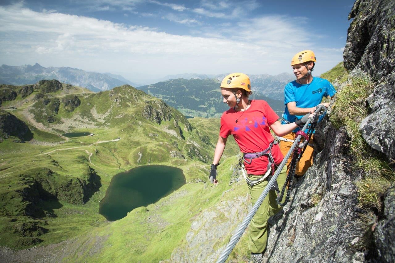
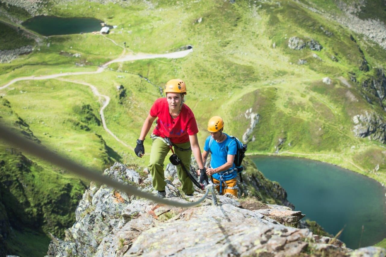
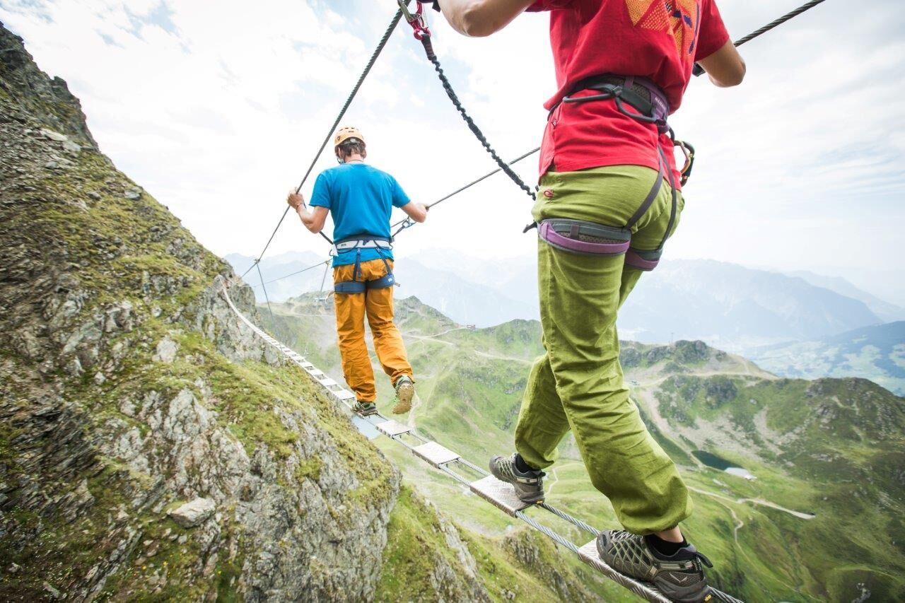

From the Sennigrat Bahn mountain station, follow the Hochjoch via ferrata hiking trail (passing underneath the lift) to the Kälbersee (about 20 minutes). From the Kälbersee, in about 15-20 minutes, pass by the Schwarzsee to the start of the via ferrata.
For the start of the slightly easier variation of the Hochjoch via ferrata, go directly from the Sennigrat mountain station to the Wormser Hut and continue to the Hochalpila Bahn mountain station.
You have two options to master the Hochjoch via ferrata. In both variations, the rope bridge can be bypassed.
In variation 1 (difficulty level C), you climb along the longest via ferrata in Vorarlberg with a rope length of 1,750 m.
Variation 2 is a shortened form of the ridge walk and also somewhat easier (difficulty level B).
Variation 1: Variation 2:
Facts about the via ferrata: Facts about the via ferrata:
Start: Near Schwarzsee Start: Hochalpila Bahn mountain station
Via ferrata duration: 4 hours Via ferrata duration: 3 hours
Length: 1,750 meters of rope length Length: 750 meters of rope length
Height difference: 450 Height difference: 100
Difficulty level C Difficulty level B
Exposure: south-southwest Exposure: south-southwest
The exit of the via ferrata tour is located at the Hochalpila Bahn. Afterwards, you walk on to the Kreuzjoch saddle and follow the signpost to the Wormser Hut and continue to the Sennigrat Bahn mountain station (about 40 minutes) or via the lake path (Seetal) to Kapell - Kapell Bahn mountain station (about 2 hours).
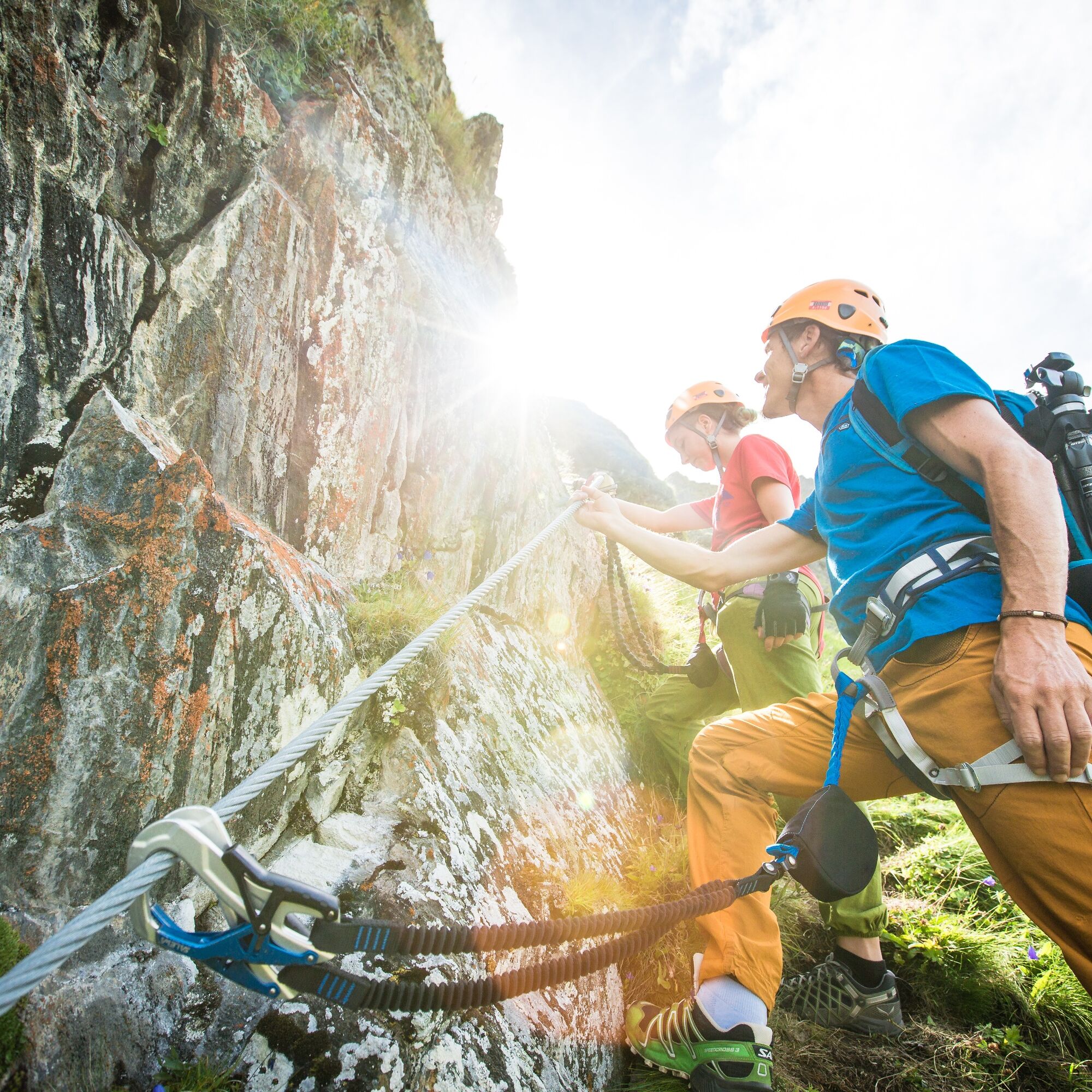
Complete climbing equipment (harness including via ferrata set, helmet, and gloves) as well as proper footwear (sturdy ankle-high mountain boots with good grip) are absolutely essential.
You should also always carry a backpack with provisions, sun and rain protection, and a first aid kit.
Via ferrata sets rental
EMERGENCY CALL: 144
European emergency number: 112 (works with any mobile phone/network)
Take the A14 to the Bludenz/Montafon exit and continue on Montafonerstraße L188 to Schruns. Follow the road into the town center, after the cemetery turn left to the Hochjoch Bahn valley station.
Just leave your car standing
The regional buses operate throughout Montafon. The main lines run every half hour from Schruns station.
Bus stop at the start/end of the route: Schruns Hochjoch Bahn/ lines 602, 603, 650, 670
(also possible: Schruns Zamang Bahn/ lines 602, 603, 650, 670)
You can also reach the Hochjoch Bahn valley station on foot in about 5 minutes from Schruns station. (about 20 minutes to the Zamang Bahn valley station)
Timetable: www.vmobil.at
Arrival by train to Montafon
The Montafon railway runs hourly (sometimes half-hourly) from Bludenz station. There are also direct connections from Lindau (Germany) and Bregenz.
Timetable: www.oebb.at
Hochjoch Bahn valley station (paid)
C
The via ferrata is very well secured with steel cables.
Variation C is only recommended in dry conditions, as otherwise there is an increased risk of slipping in the earthy sections.

Spletne kamere s turneje
Hochjoch Bahn Bergstation
Montafoner Kristbergbahn Bergstation
Panoramagasthof Kristberg
Panoramagasthof Kristberg
Kristberglift mit St. Agatha Kirche
Kinderland Skischule Silbertal
Bergstation Hochalpila Bahn
Silbertal Dorf
Innerberg
Silvretta-Montafon - Panorama Bahn
Tschagguns
Schruns
Bartholomäberg - Ferienhotel Fernblick
Kapellbahn
Bartholomäberg - Ferienhotel Fernblick
Bartholomäberg - Ferienhotel Fernblick
Bartholomäberg - Ferienhotel Fernblick
Pridobite vpogled Vedno v živo na mestu z več kot 9.500 spletnimi kamerami. bergfex Kot uporabnik Pro si lahko zdaj ogledate ustrezne spletne kamere za številne izlete v aplikaciji izleti iz. Tako si lahko neposredno ogledate trenutne razmere. 
Priljubljeni izleti v okolici
- 5.0
Ski tour to the Lindauer Hut (1,744 m)
svetlobaSmučarska tura 14.0 km - 4.7
Smuggler’s path
srednjaTematska pot 8.60 km - 4.6
Over the historic mine and Fritzensee to Rellseck
srednjaPohodništvo 7.25 km - 4.4
Golm-Rundwanderweg im Rätikon
srednjaTematska pot 7.28 km - 4.7
Kristberg - Wasserstubental - Silbertal
svetlobaPohodništvo 13.8 km - 4.5
Madrisella summit path
srednjaTematska pot 10.8 km - 4.3
Golmerbahn Bergstaion Grüneck - Golmer Höhenweg - Geißspitze - Lindauer Hütte - Latschau
srednjaPohodništvo 11.5 km - 4.8
Heilbronner lodge
srednjaPohodništvo 13.0 km - 4.9
Alpgues Runde
srednjaPohodništvo 9.21 km - 4.8
Madrisella via ferrata
težkoVia ferrata 8.52 km
Pohodništvo in sledenje


Ne zamudite ponudb in navdiha za naslednje počitnice
Vaš e-poštni naslov je bil dodan na poštni seznam.





