


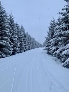
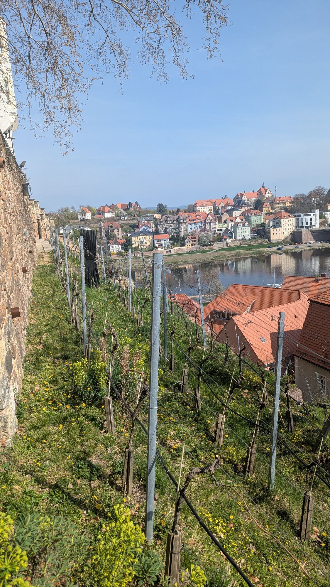
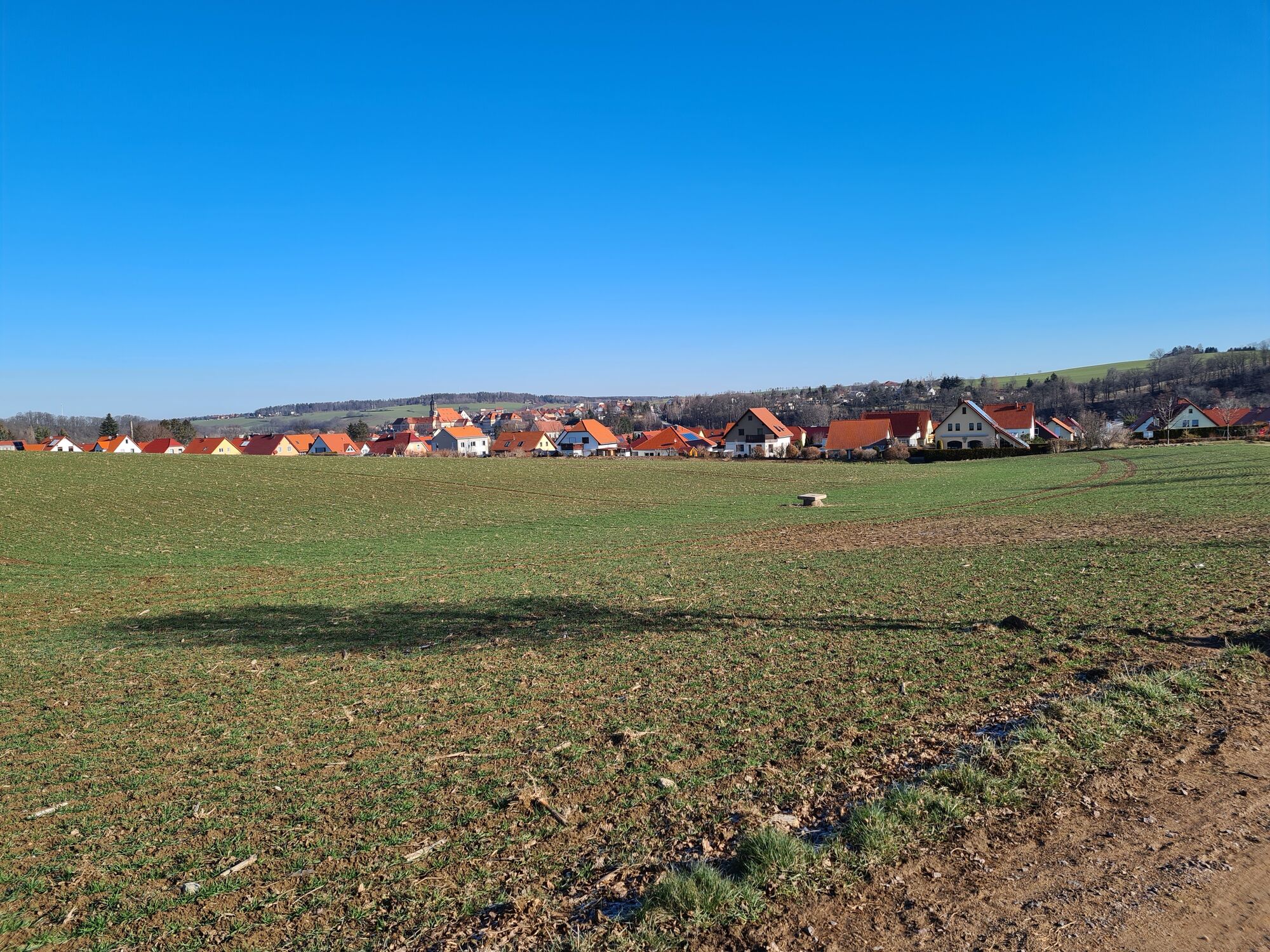
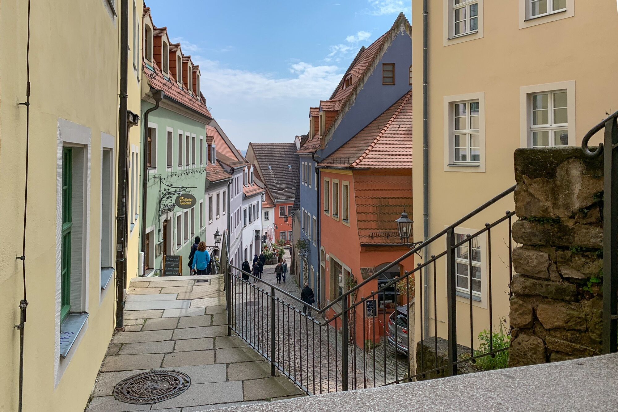
Riesenburger Weg between Osek/CZ and Meißen
Fotografije naših uporabnikov
-

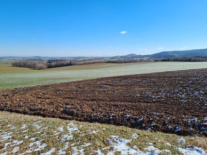
 © Kay ErlerUstvarjeno na 10.01.2026
 -
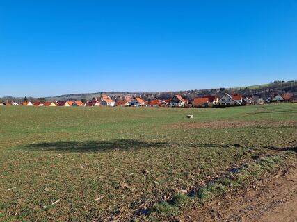
 © Kay ErlerUstvarjeno na 10.01.2026
 -
 © Kay ErlerUstvarjeno na 10.01.2026
 -
 © Kay ErlerUstvarjeno na 10.01.2026
 -
 © Kay ErlerUstvarjeno na 10.01.2026
 -
 © Kay ErlerUstvarjeno na 10.01.2026
 -
 © hochlandfamilieUstvarjeno na 12.04.2025
 -
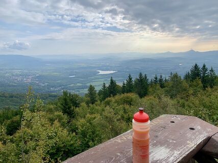
 © MatthiasUstvarjeno na 06.03.2021
 -
 © MatthiasUstvarjeno na 06.03.2021
 -

 © RALPH DDUstvarjeno na 09.04.2023
 -
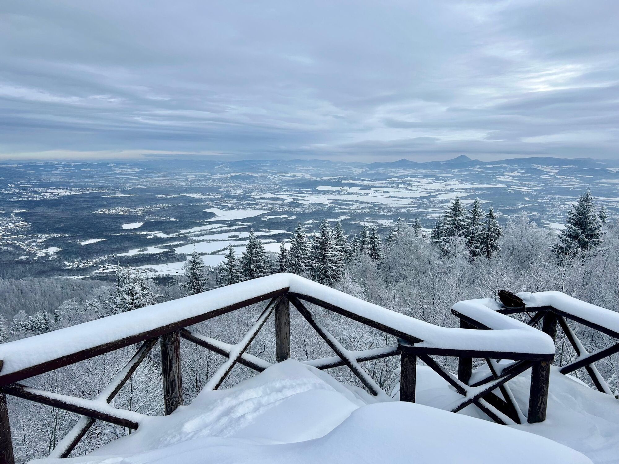
 © Kay ErlerUstvarjeno na 28.09.2025


If you want to hike this multi-day trail, you should assess your fitness level well and decide where you want to spend the night. If you want to explore the trail in sections, you will have to find out...
If you want to hike this multi-day trail, you should assess your fitness level well and decide where you want to spend the night. If you want to explore the trail in sections, you will have to find out for yourself how to get to the relevant starting and finishing points (public transport, cab, etc.). In principle, the trail can also be used as a cycle path, but you must be prepared for steep climbs and descents, pushing and carrying sections.
Please note: the trail is not marked throughout and has not yet been developed as a pilgrimage trail with access to open churches.


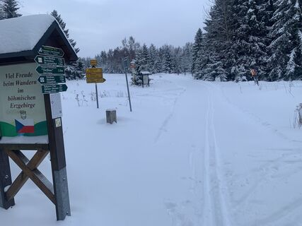
Directions Riesenburger Weg
Weatherproof clothing, sure-footed shoes and sufficient provisions in your rucksack
at the start: at Mesto Osek station
at the finish: e.g. Dammweg in Meissen
Hiking trail warden Frauenstein Reiner Hengst
Email: reiner.hengst51@gmx.de
www.frauenstein-erzgebirge.de
Priljubljeni izleti v okolici
-
Oberbärenburg- Tellkoppe- Ausichtsturm, Deutschland Altenberg im Erzgebirge, Deutschland
svetlobaPohodništvo 8.08 km -
5.0
Winter experience Rabenauer Grund and Rabenauer Höhe
srednjaZimsko pohodništvo 7.79 km -
4.0
Rabenauer Grund family tour and adventure trail
svetlobaPohodništvo 4.92 km -
Legend trail and adventure trail "Legendary Mühlberg"
svetlobaPohodništvo 4.84 km -
5.0
Circular hike Malter and Dippoldiswalder Heide
svetlobaPohodništvo 6.77 km -
Panorama trail Talsperre Malter
Pohodništvo 5.08 km -
Day tour Kammweg 04 Around Frauenstein 35km 2-day hike
težkoPohodništvo 36.1 km -
5.0
Rundweg über Backofenfelsen und Opitzhöhe nach Tharandt
srednjaPohodništvo 11.9 km -
Water, silver, noble crown ... the Ritter Theler Tour!
srednjaPohodništvo 22.6 km -
Freital, Rabenauer Grund, Semmelsteig und König Albert Höhe
srednjaPohodništvo 7.64 km
Pohodništvo in sledenje


Ne zamudite ponudb in navdiha za naslednje počitnice
Vaš e-poštni naslov je bil dodan na poštni seznam.