







Crossing of the Sella group

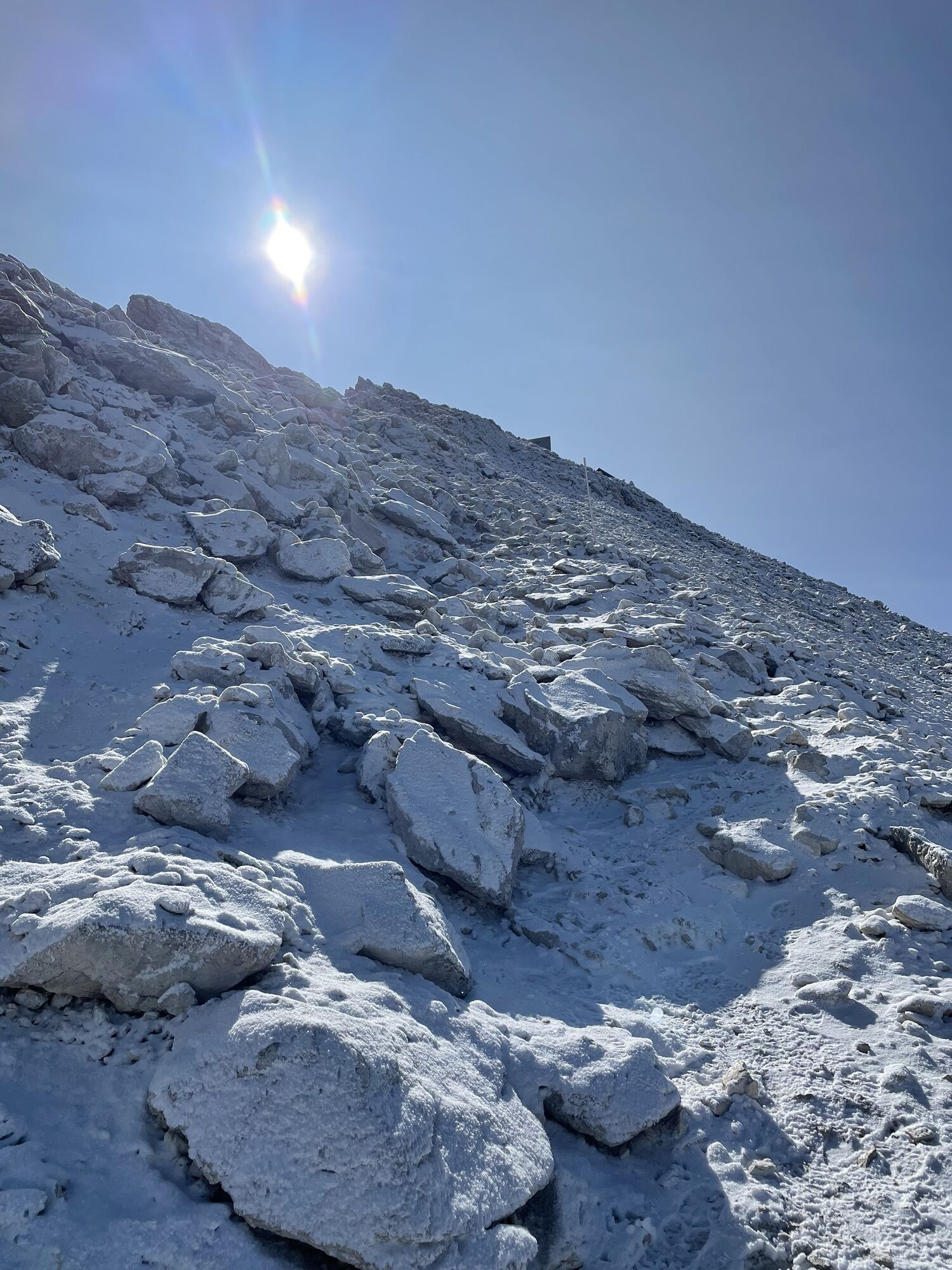
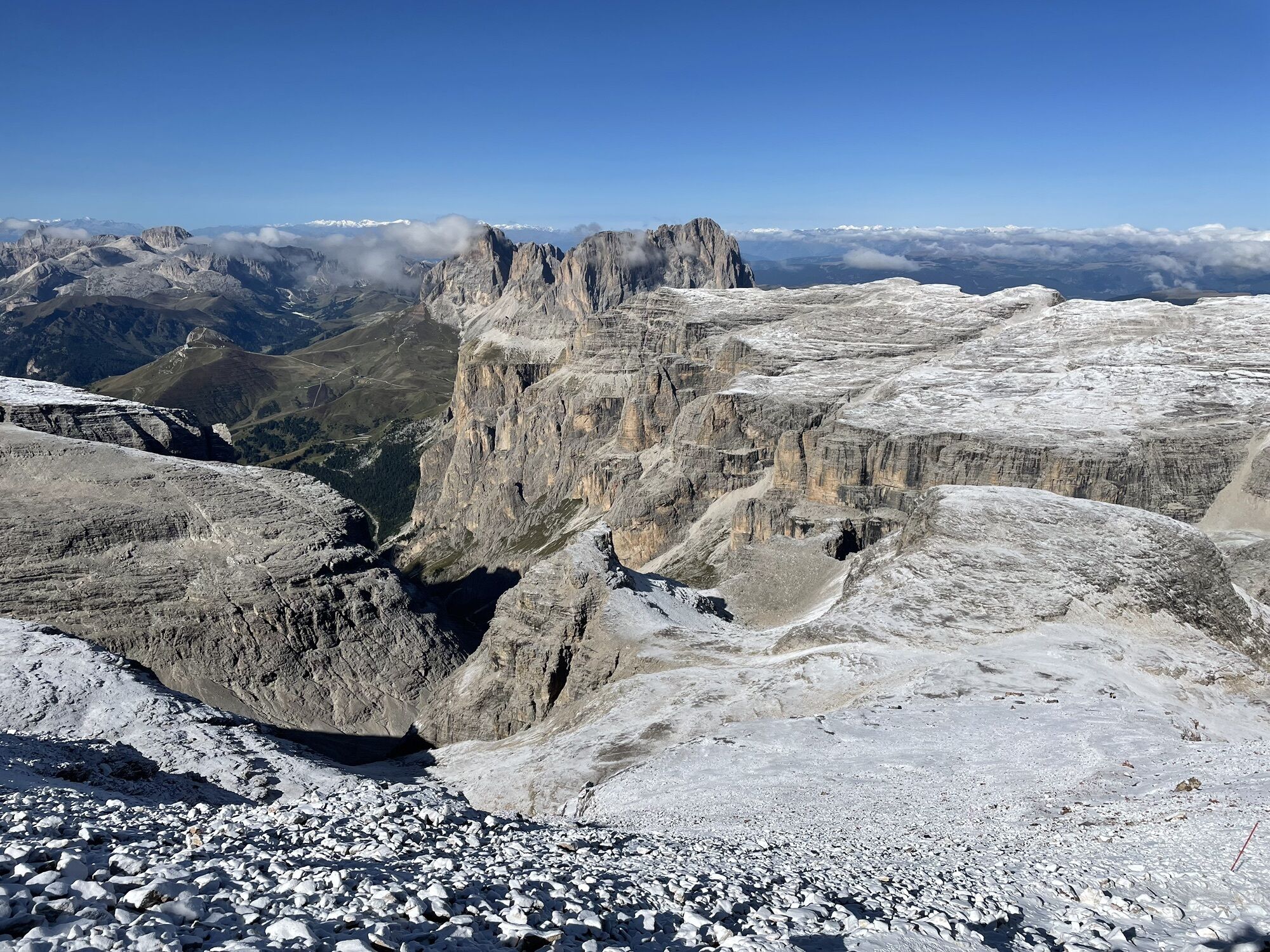
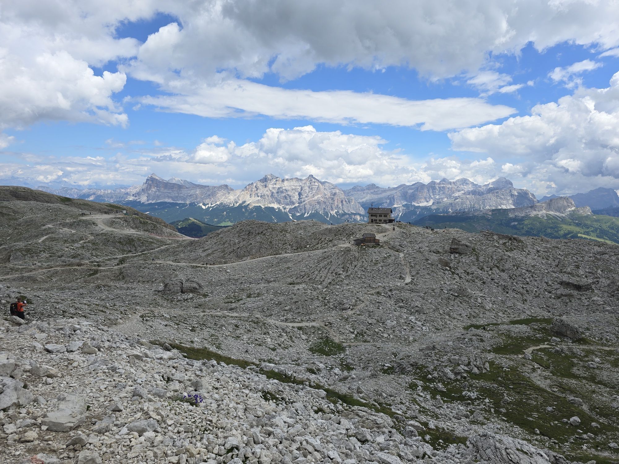
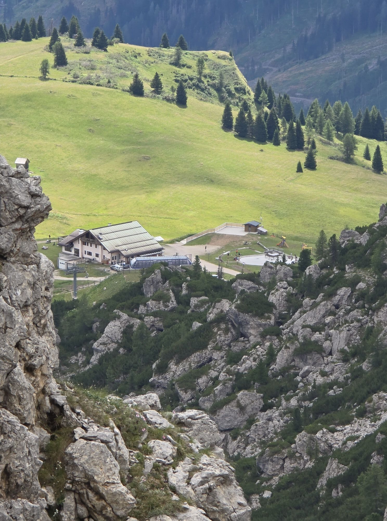
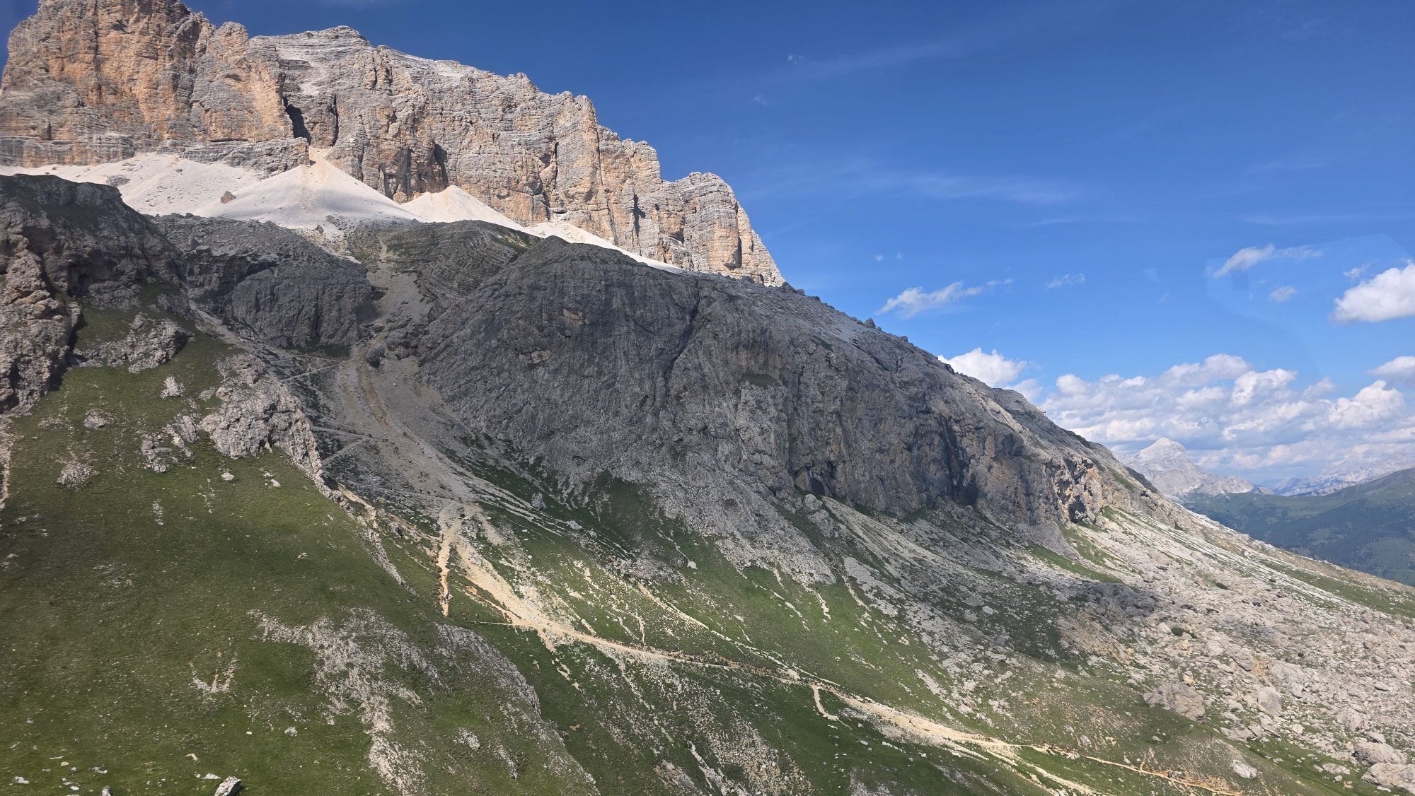
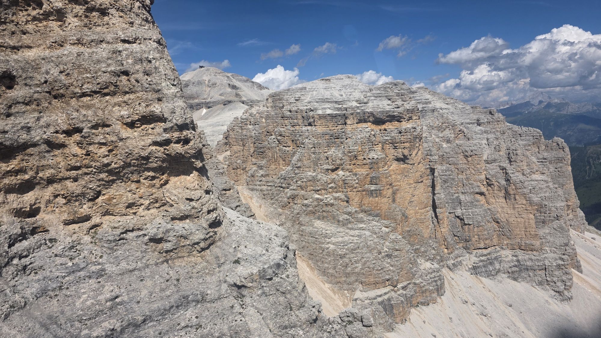
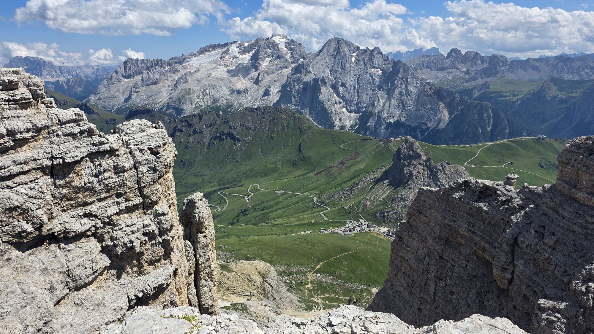
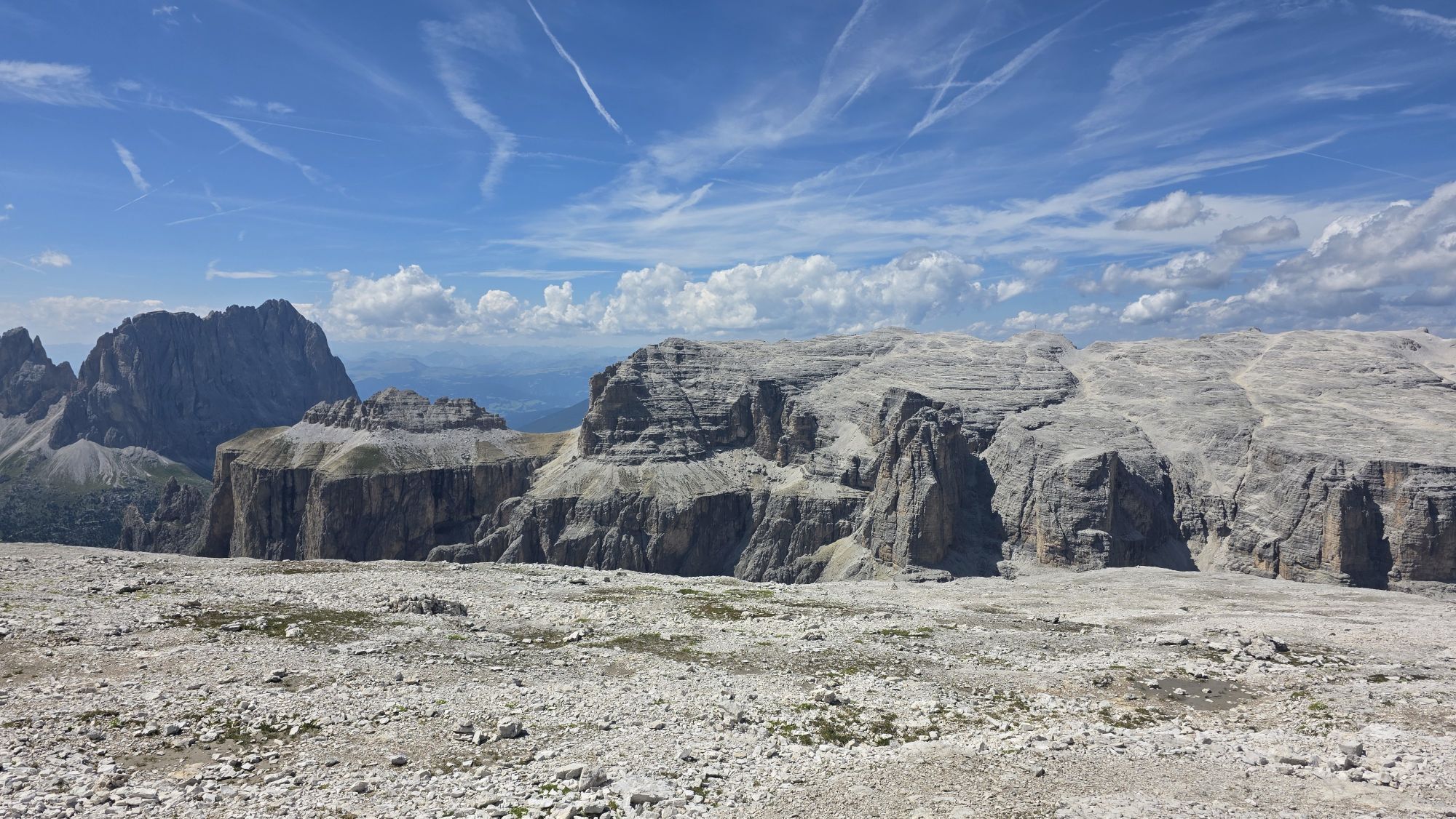
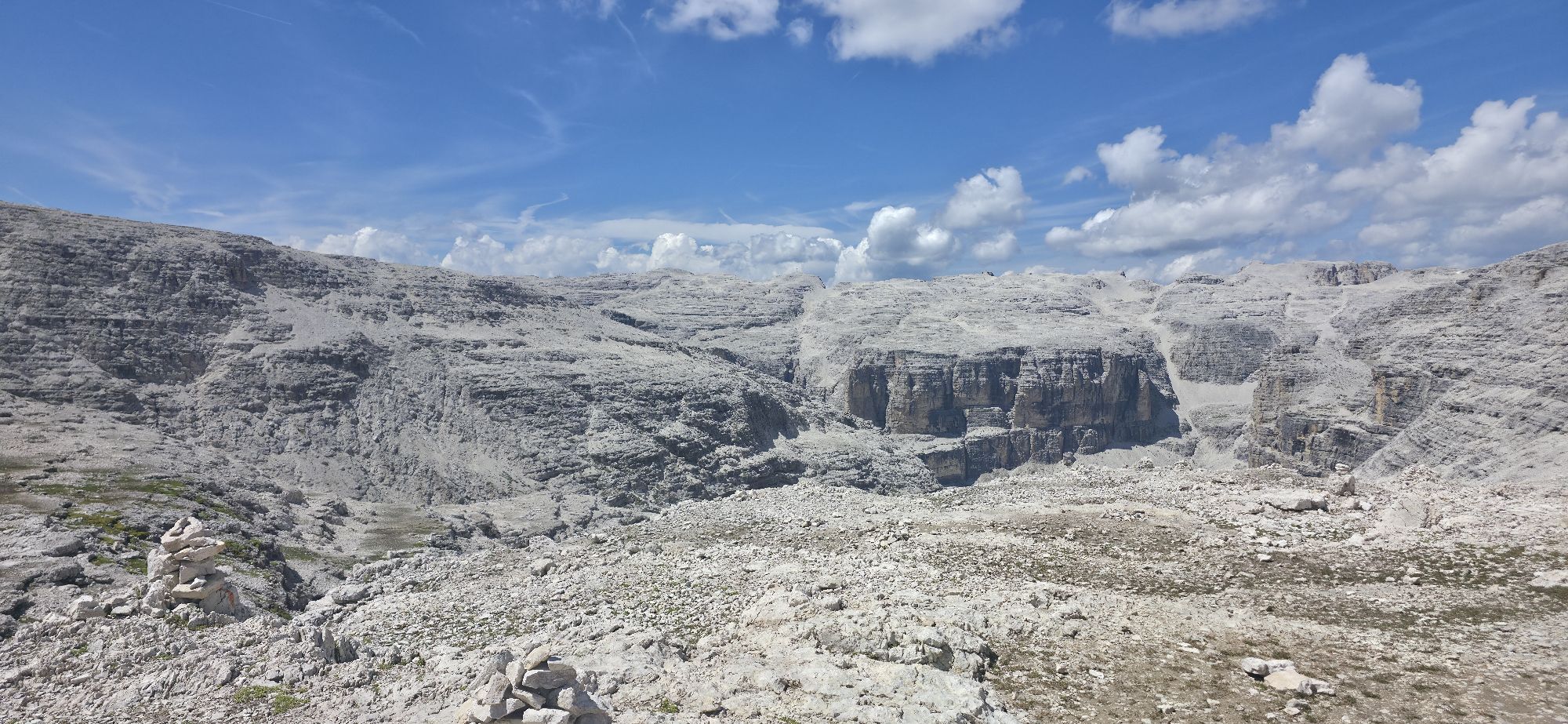
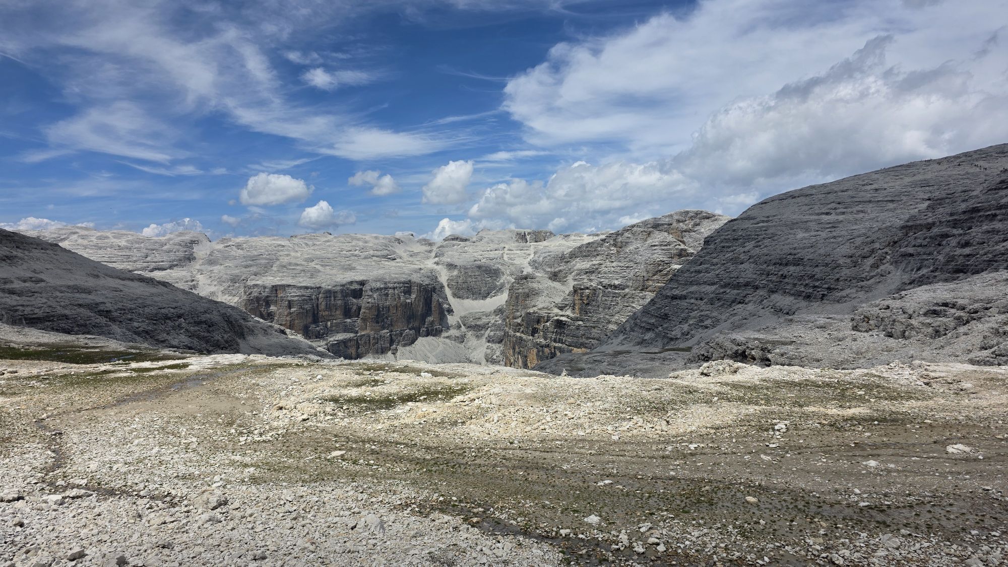
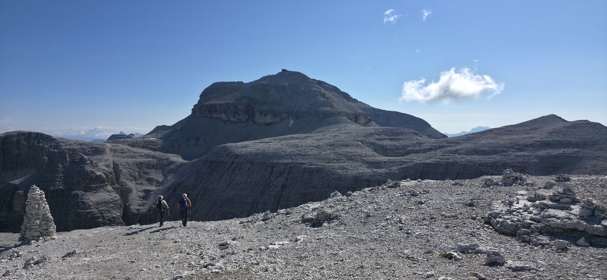
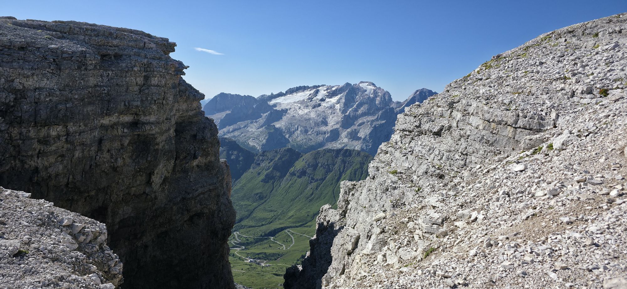
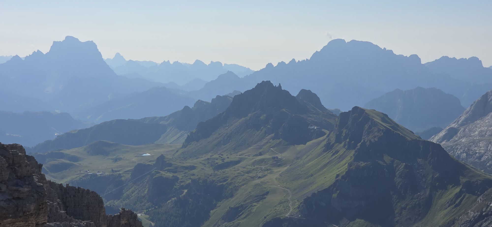
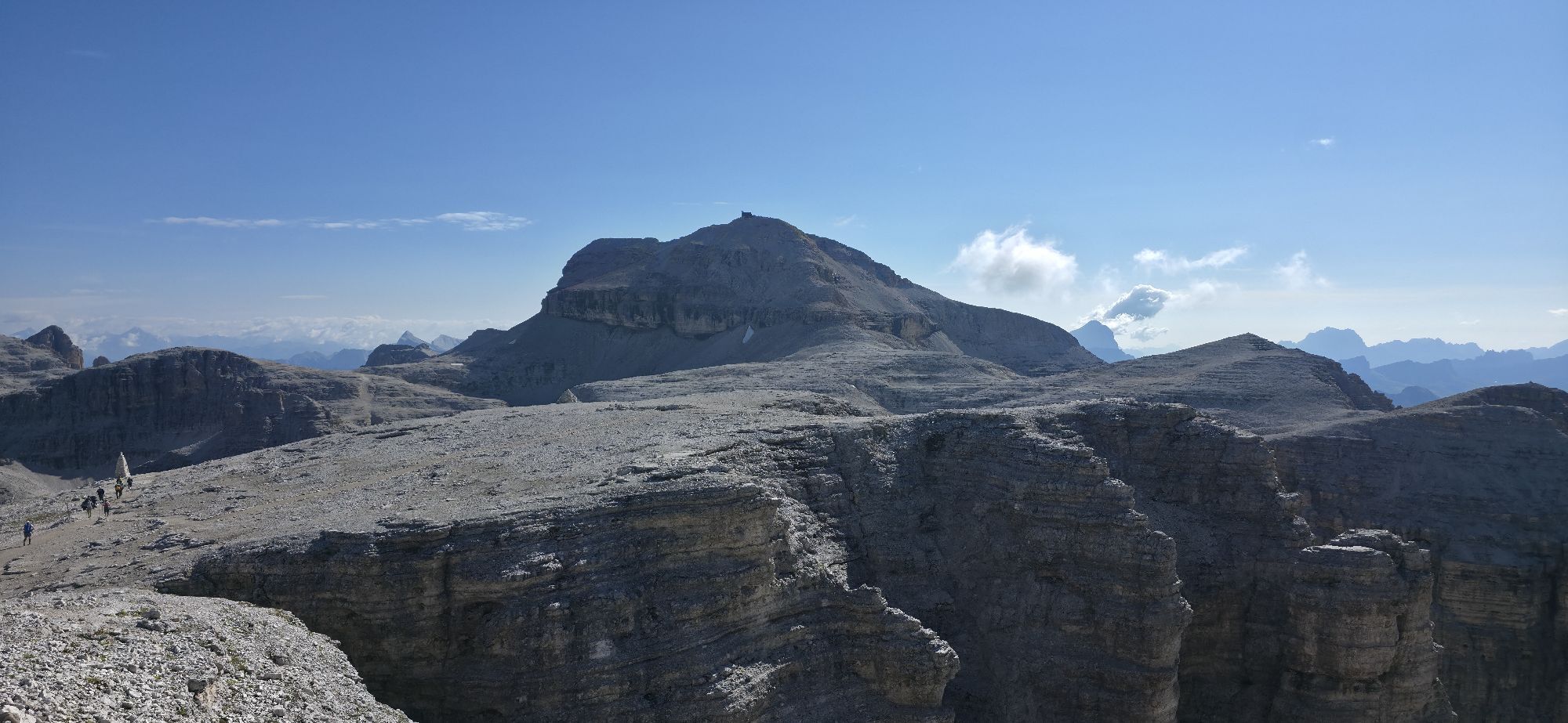
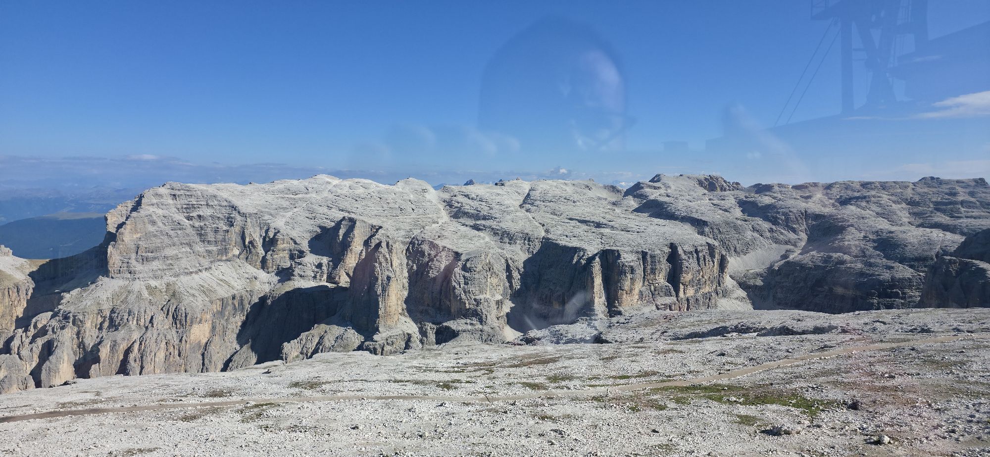
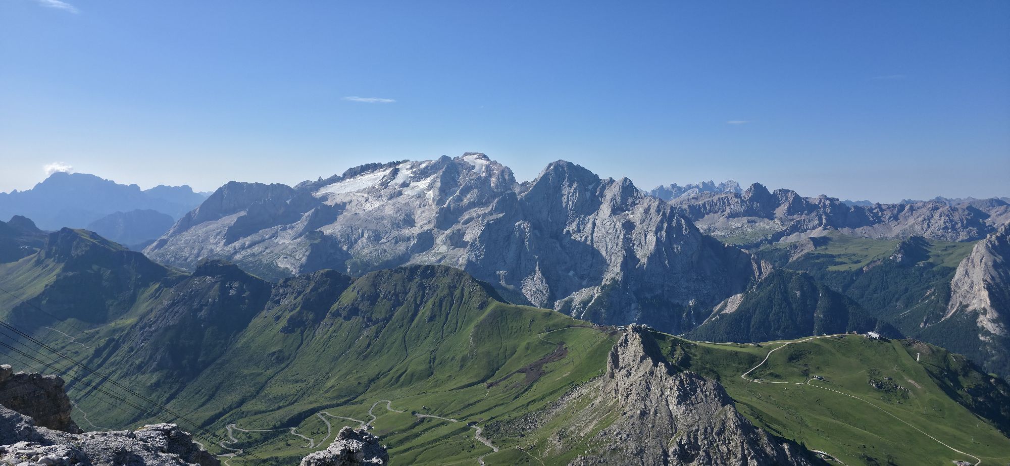
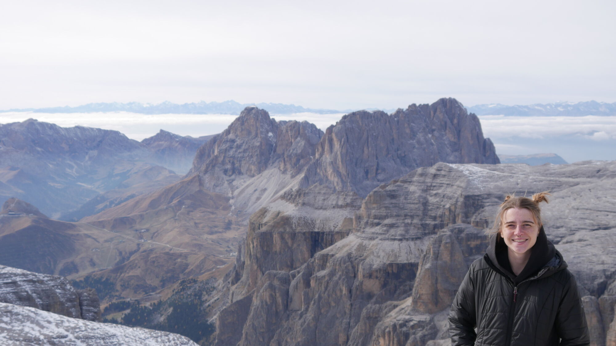
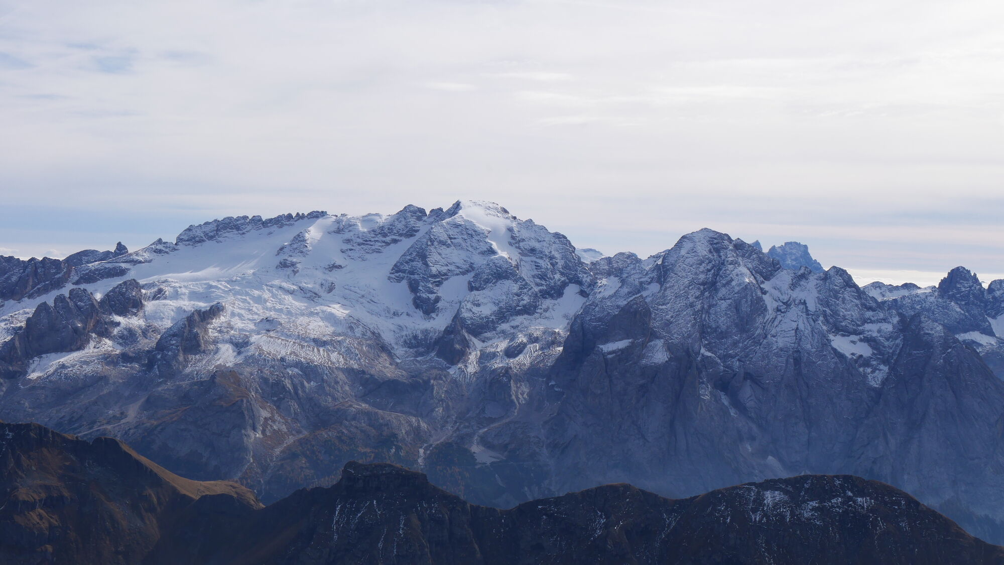
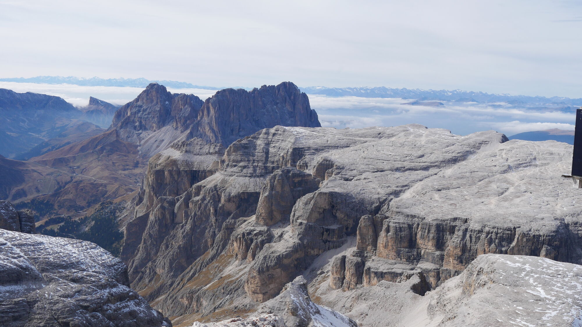
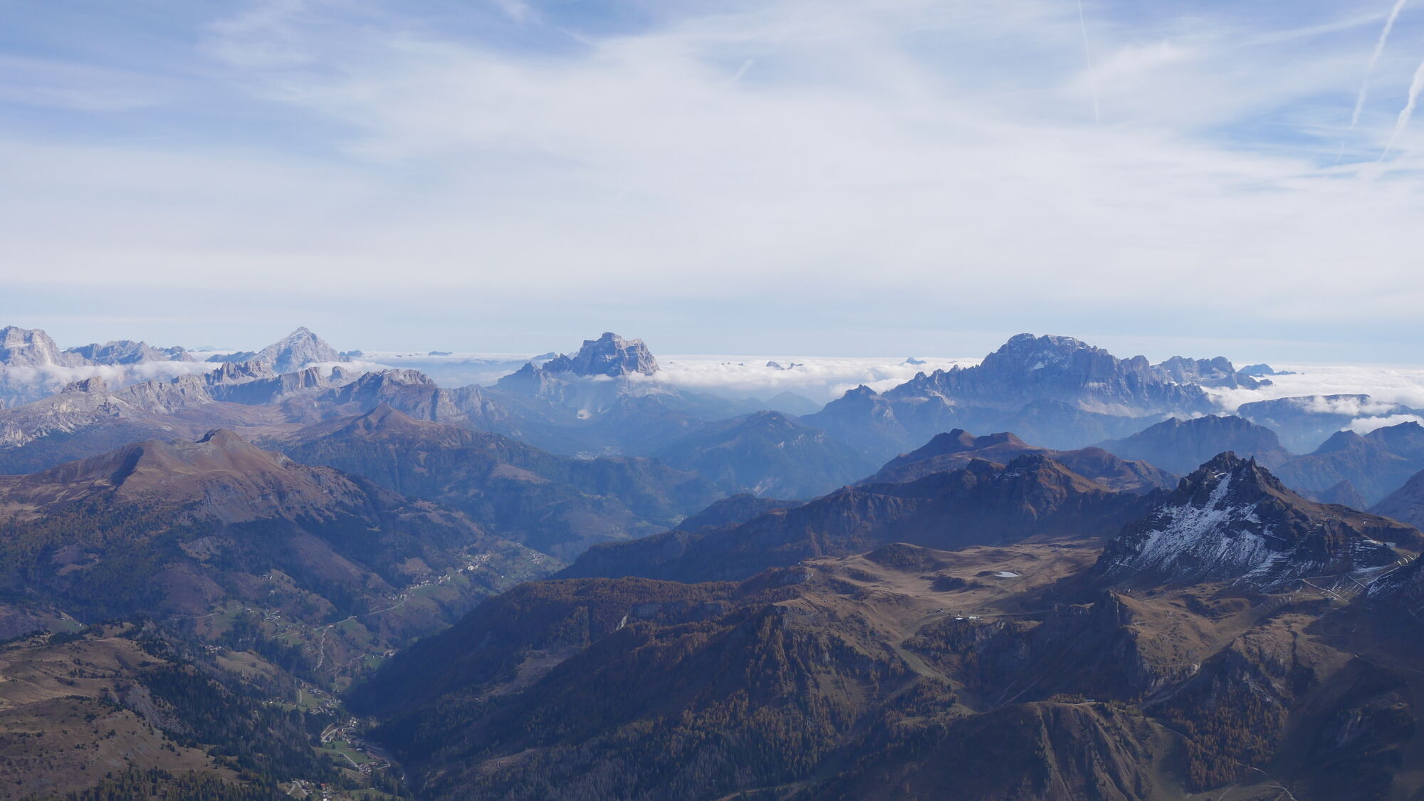
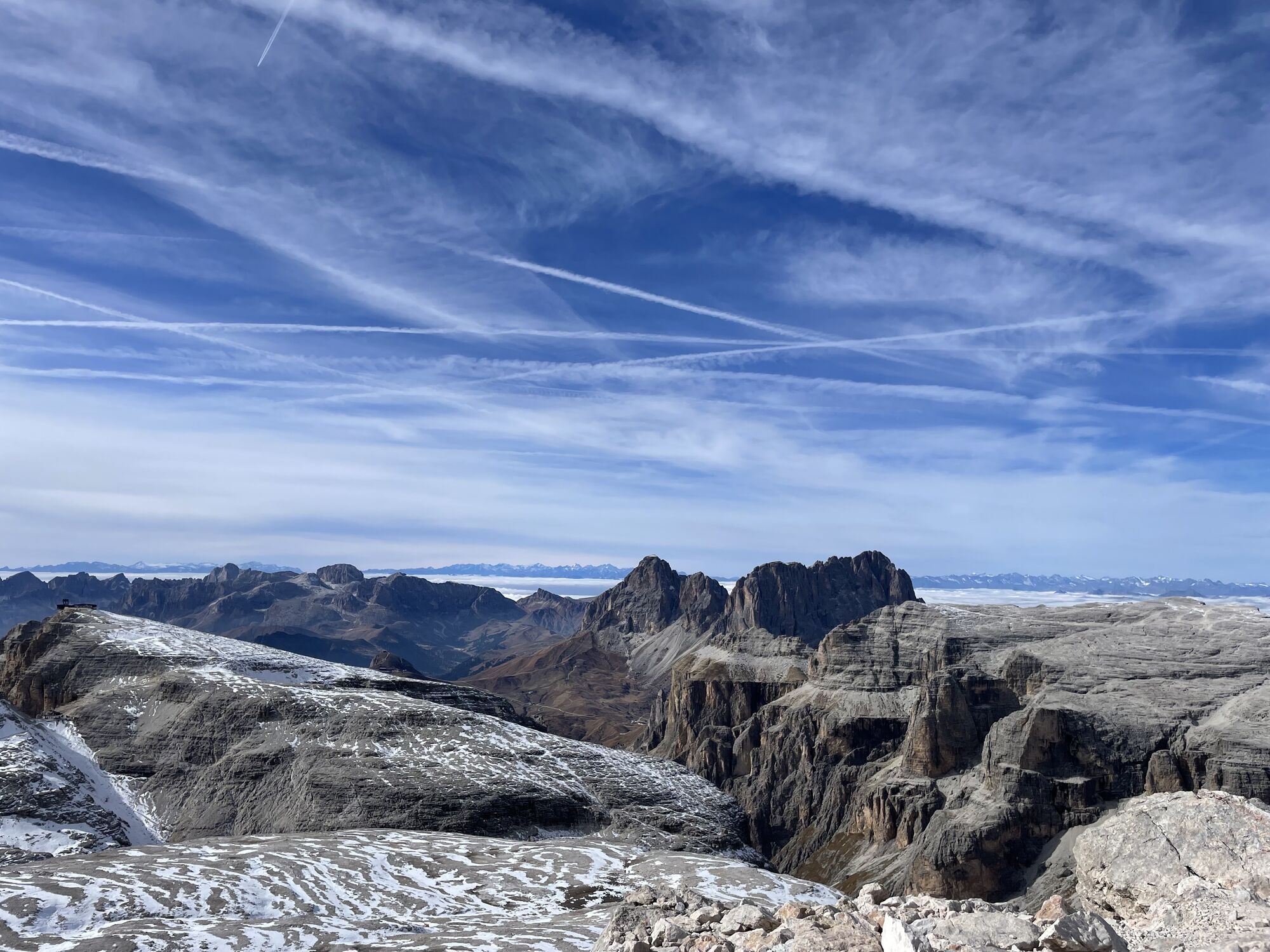

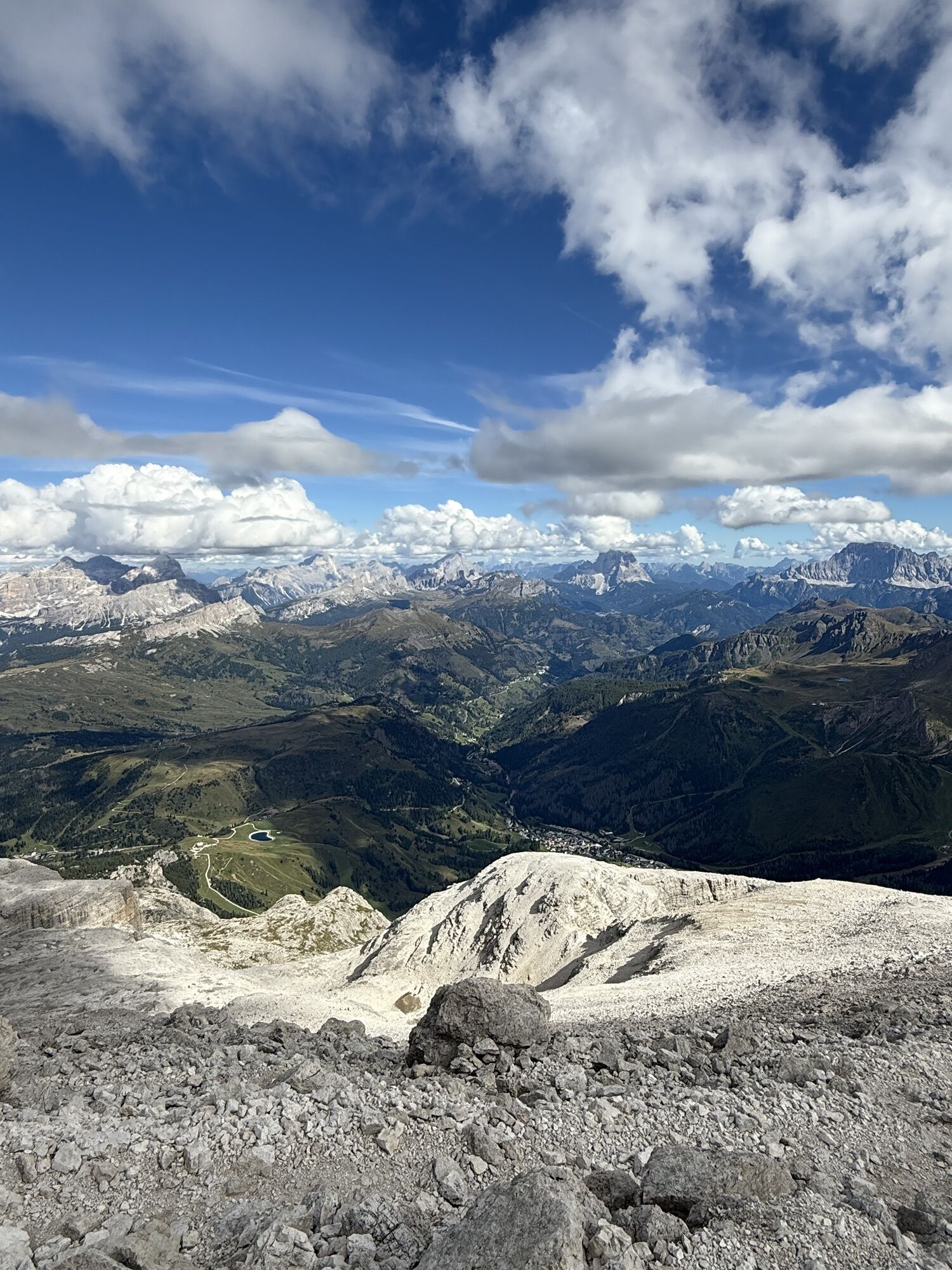
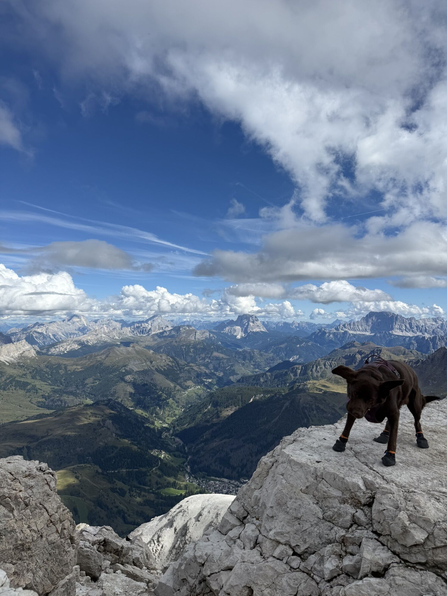
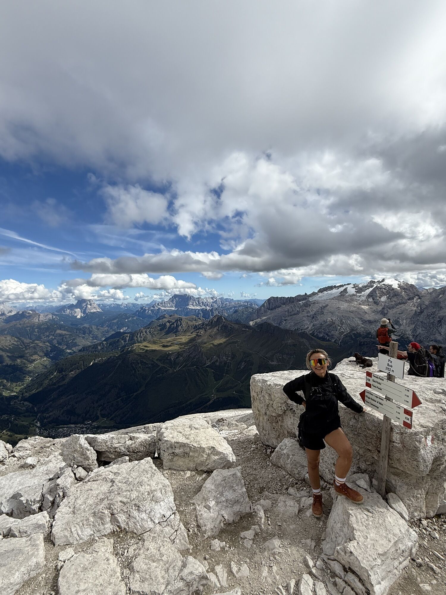
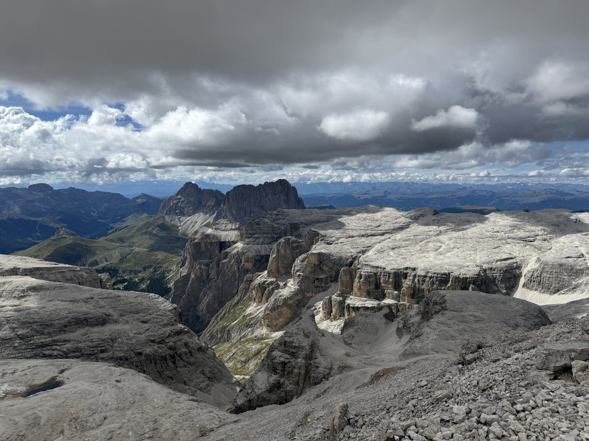
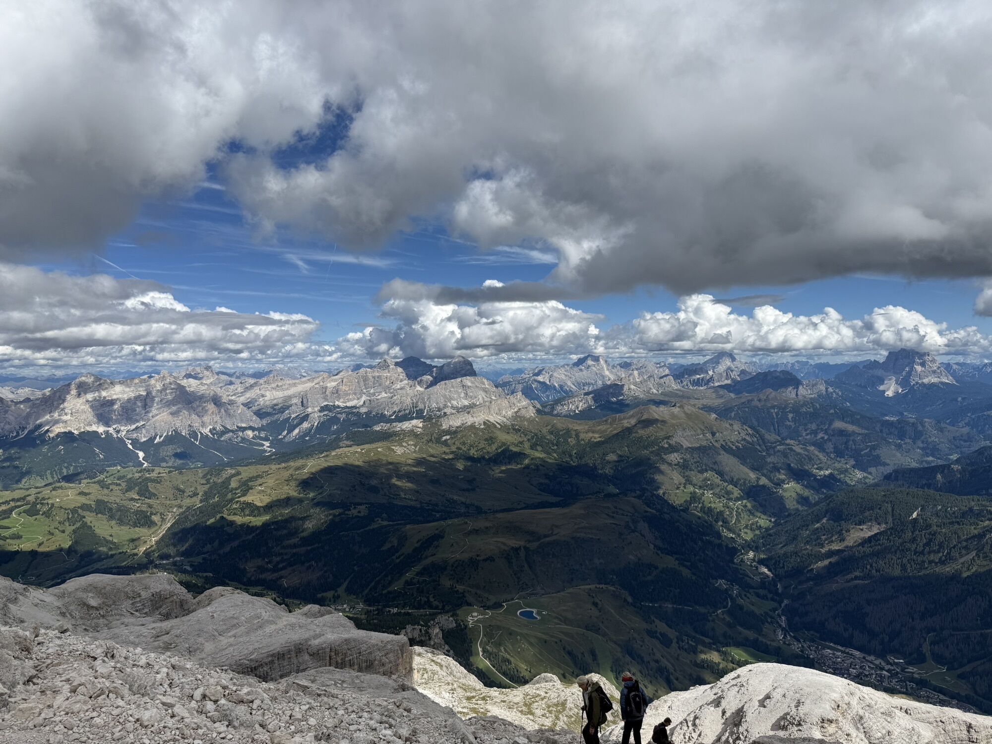
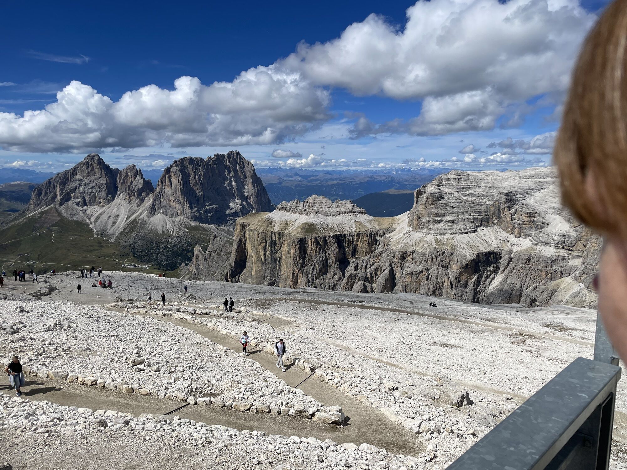
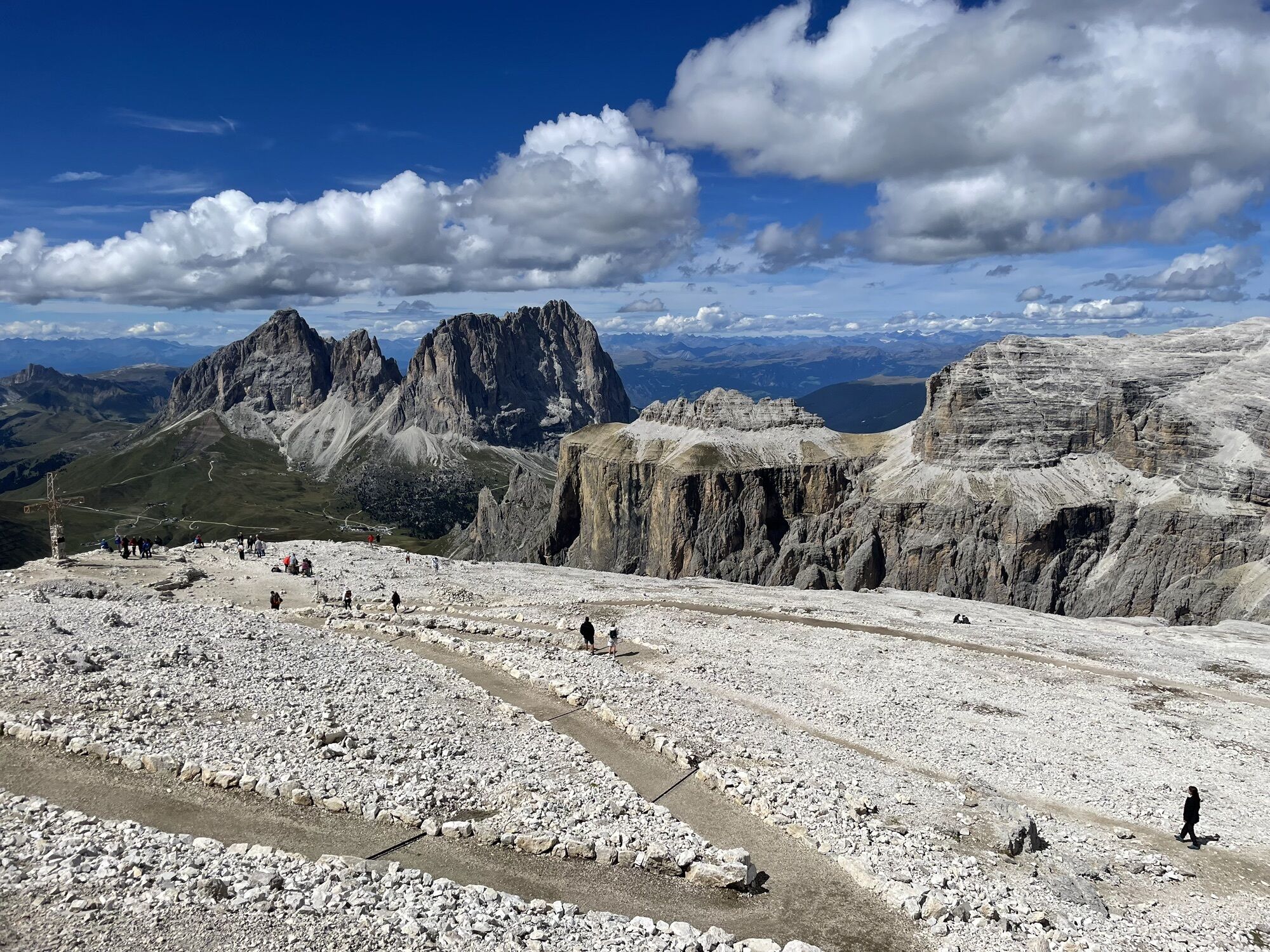
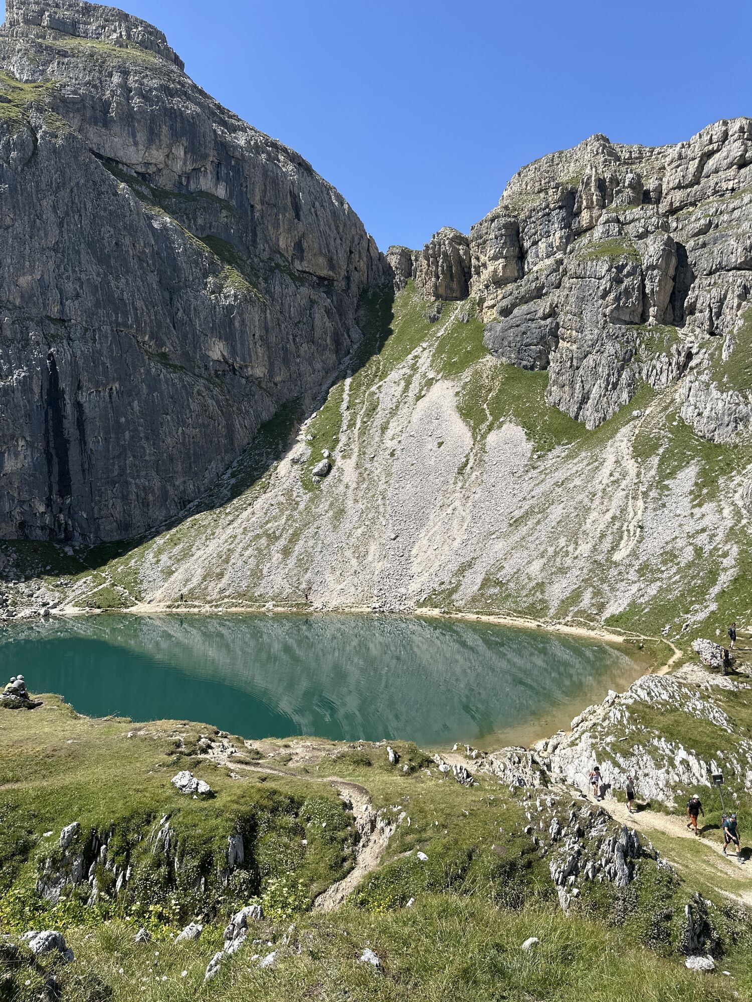
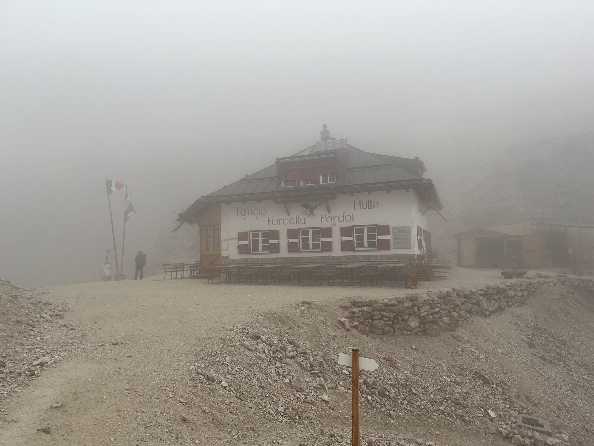
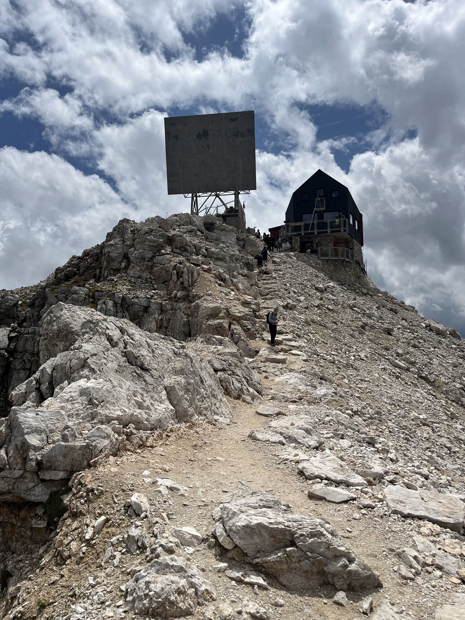
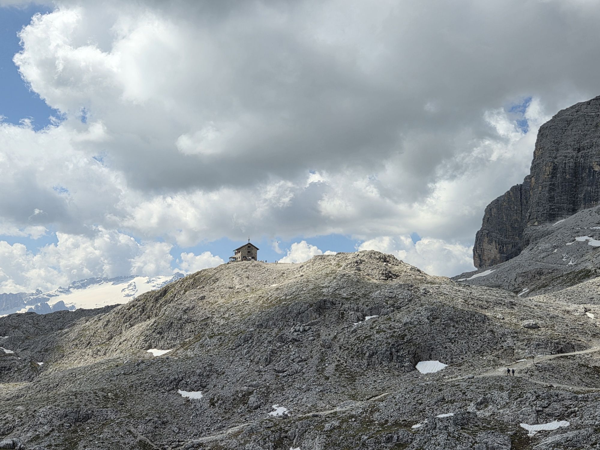
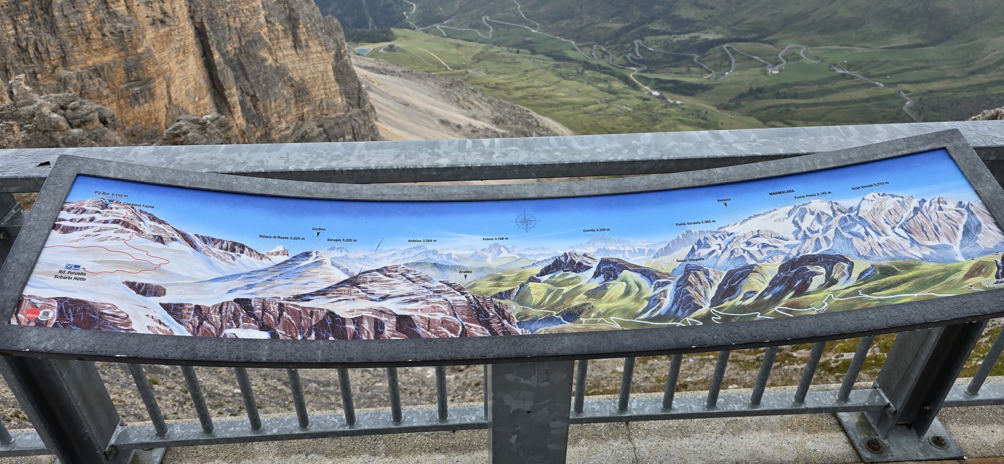
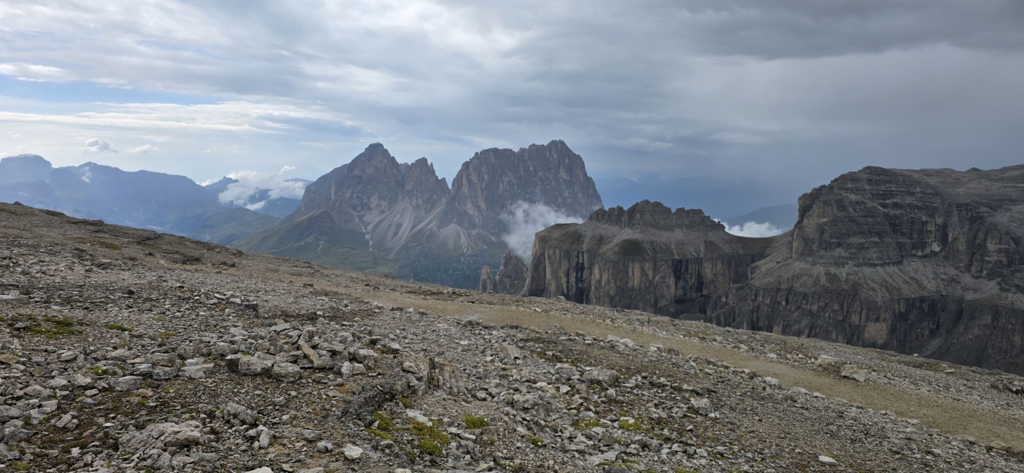
Departure from Arabba by bus to Passo Pordoi, then take the cable car of "Sass Pordoi" which takes you to the famous panoramic terrace at 2,950 m altitude.
From here continue first on trail nr. 627, then...
Departure from Arabba by bus to Passo Pordoi, then take the cable car of "Sass Pordoi" which takes you to the famous panoramic terrace at 2,950 m altitude.
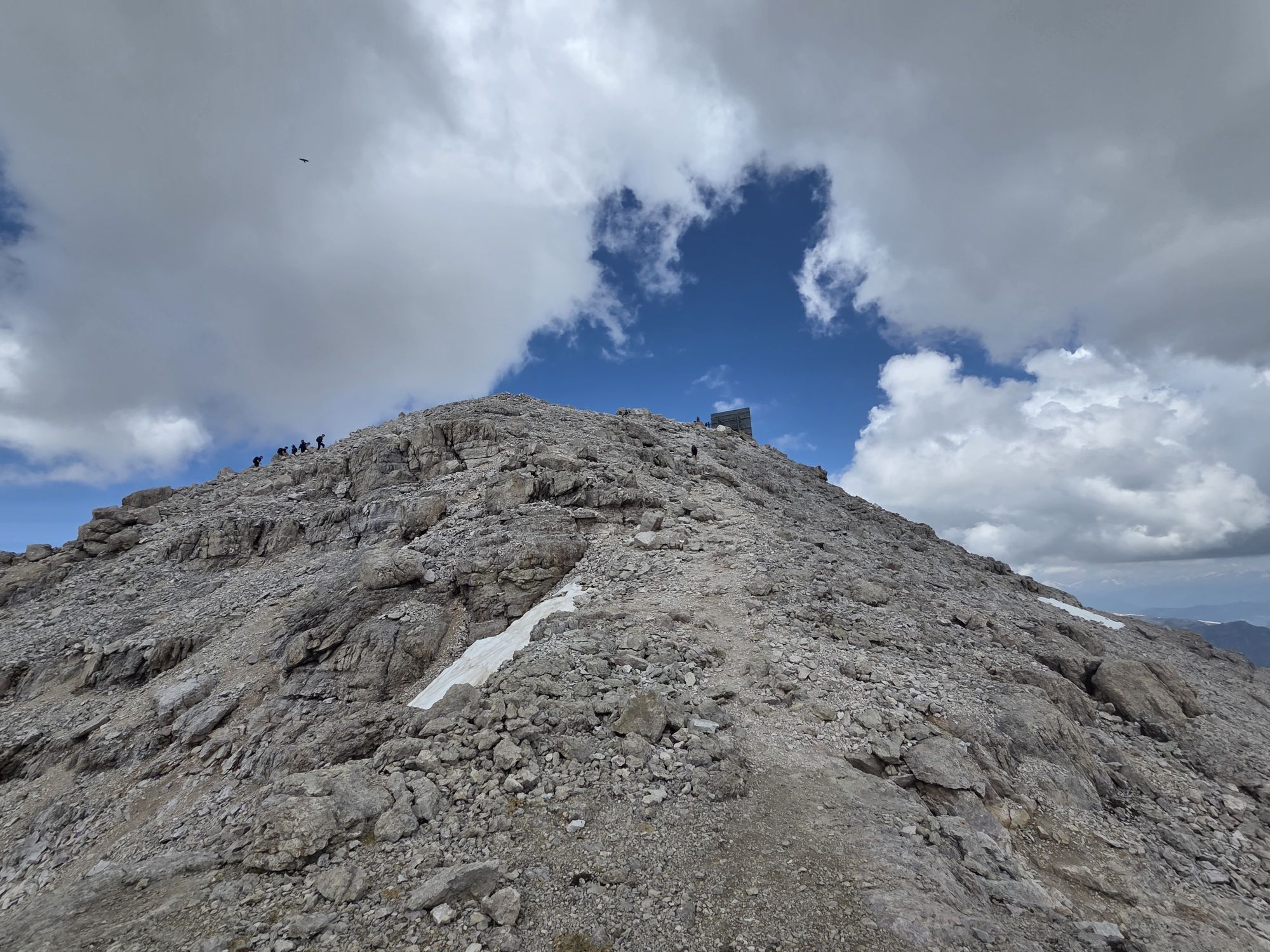
From here continue first on trail nr. 627, then on nr. 638 towards "Piz Boè".
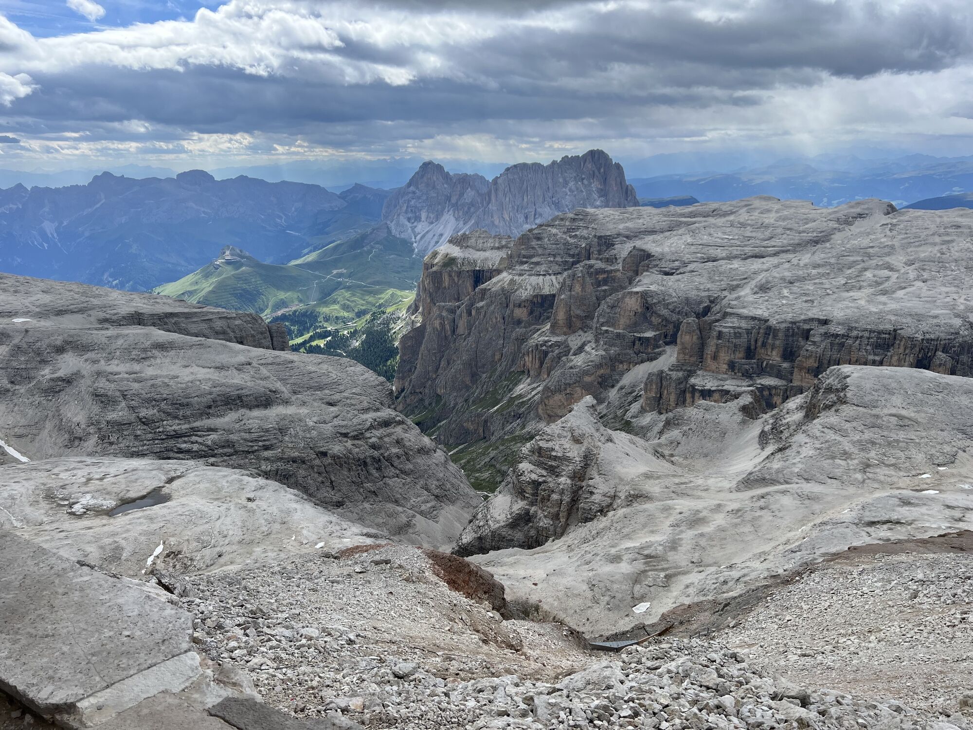
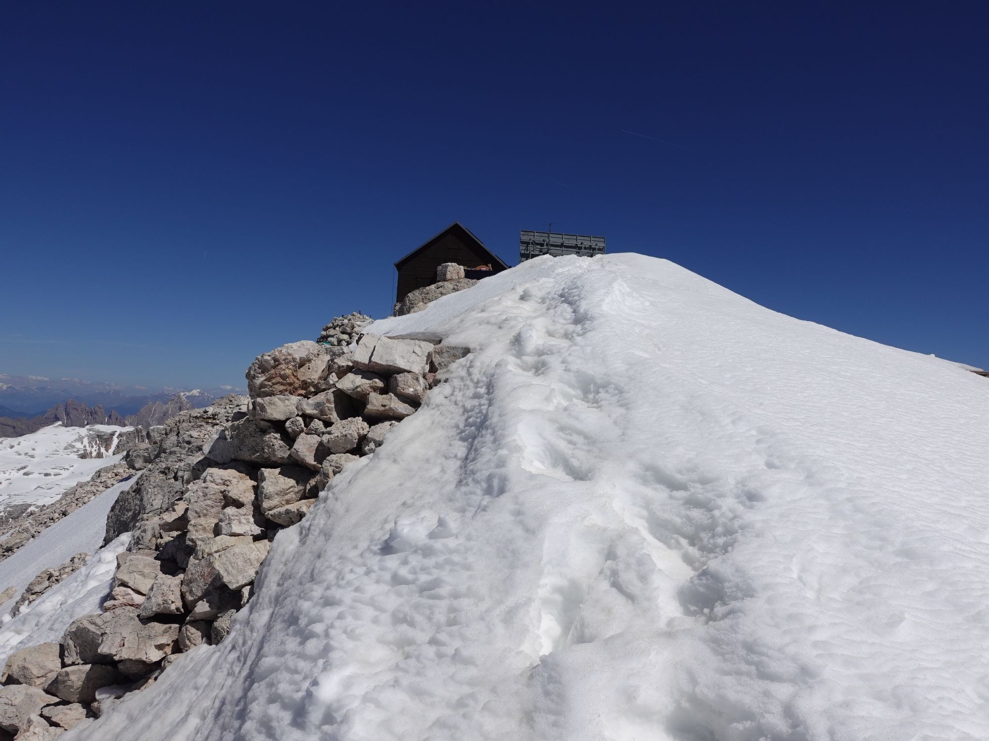
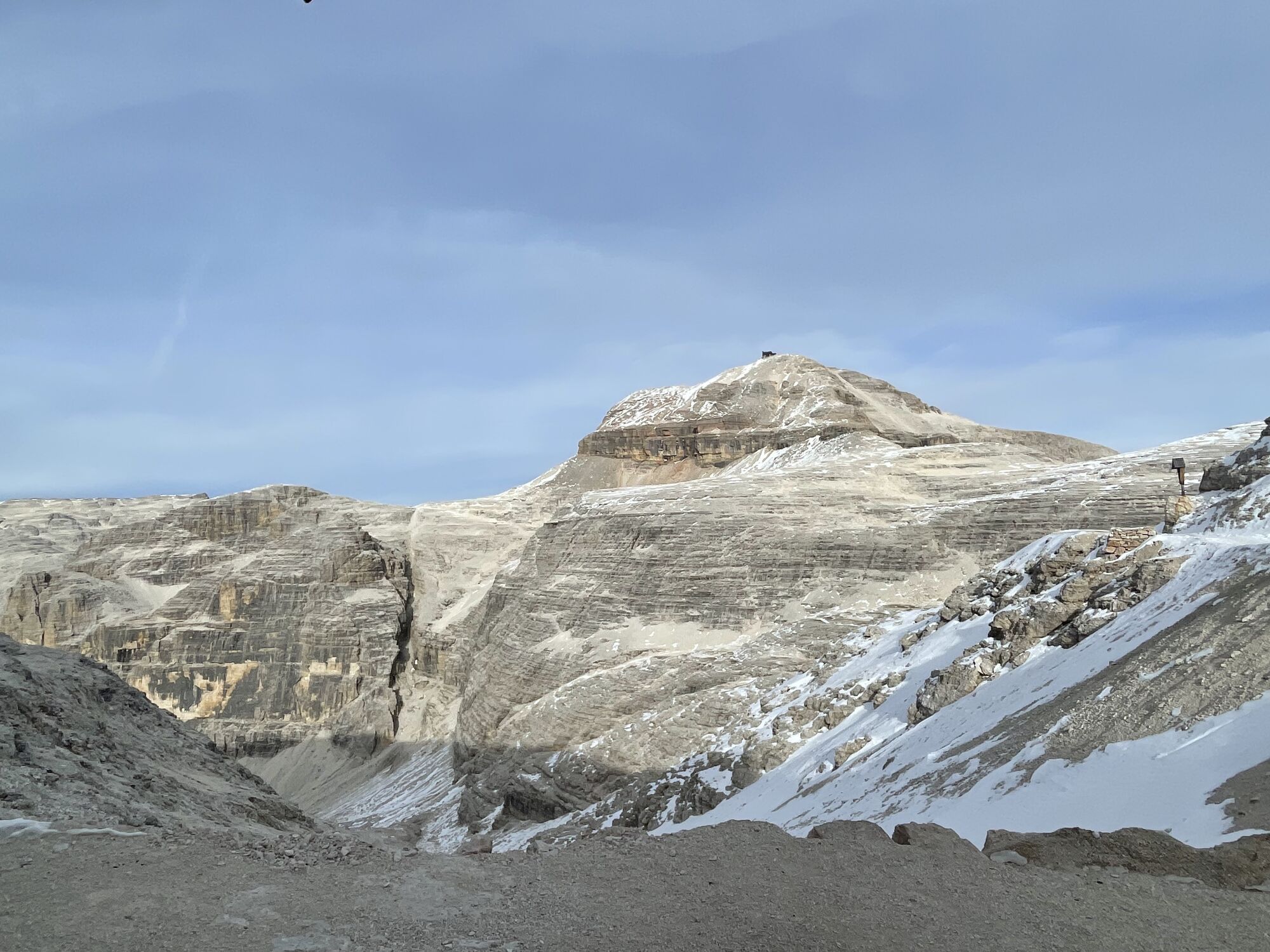
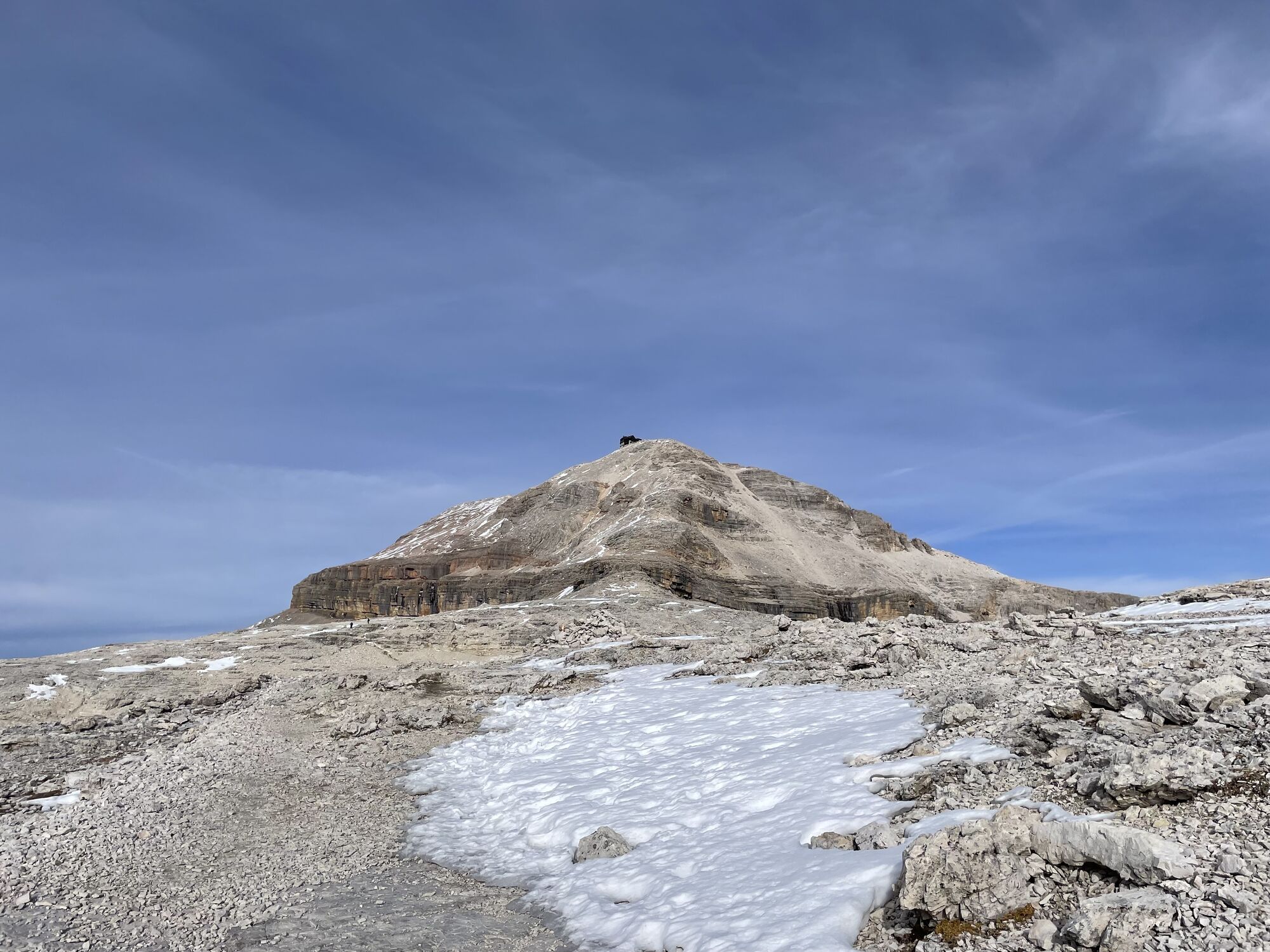
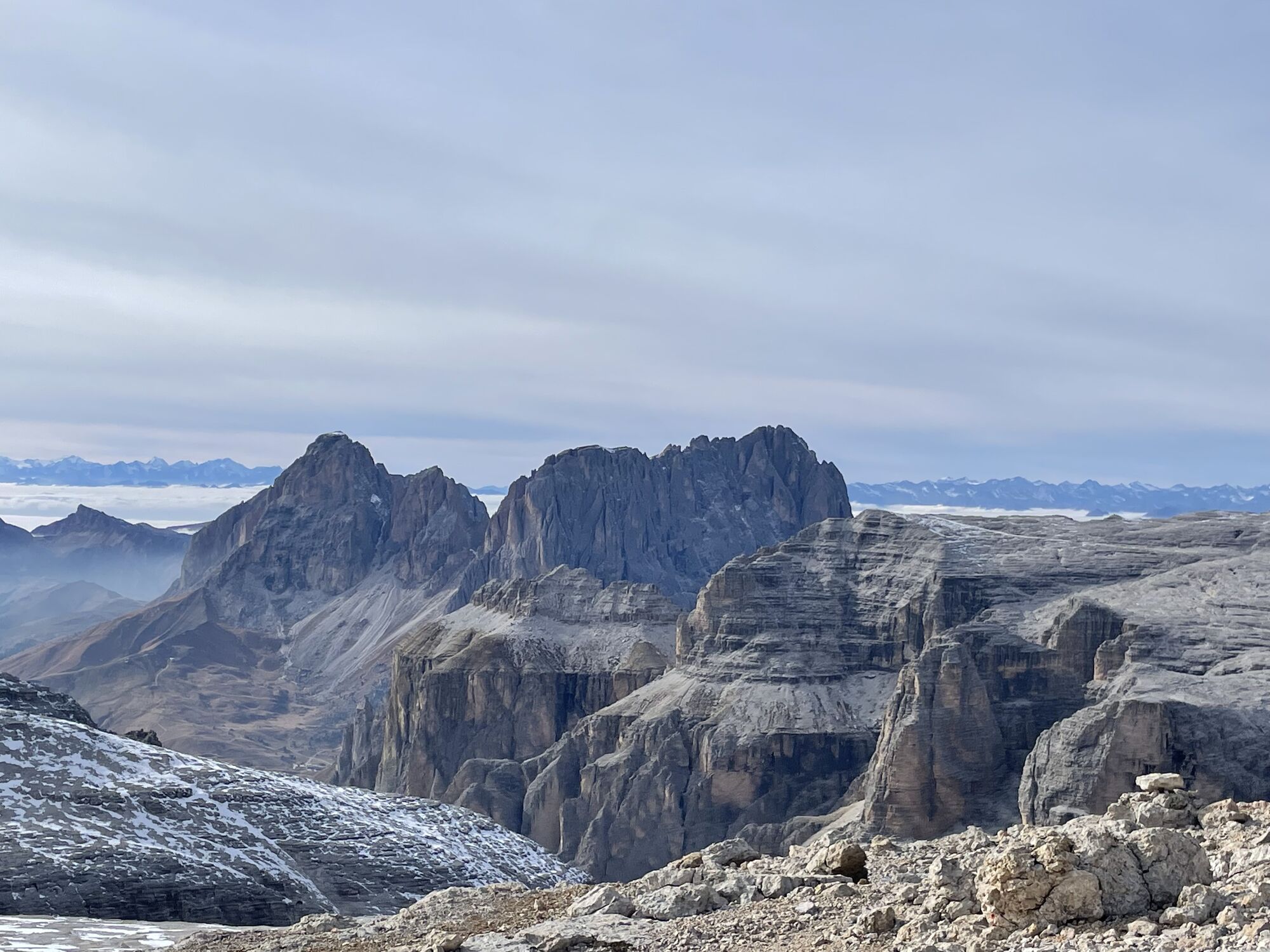
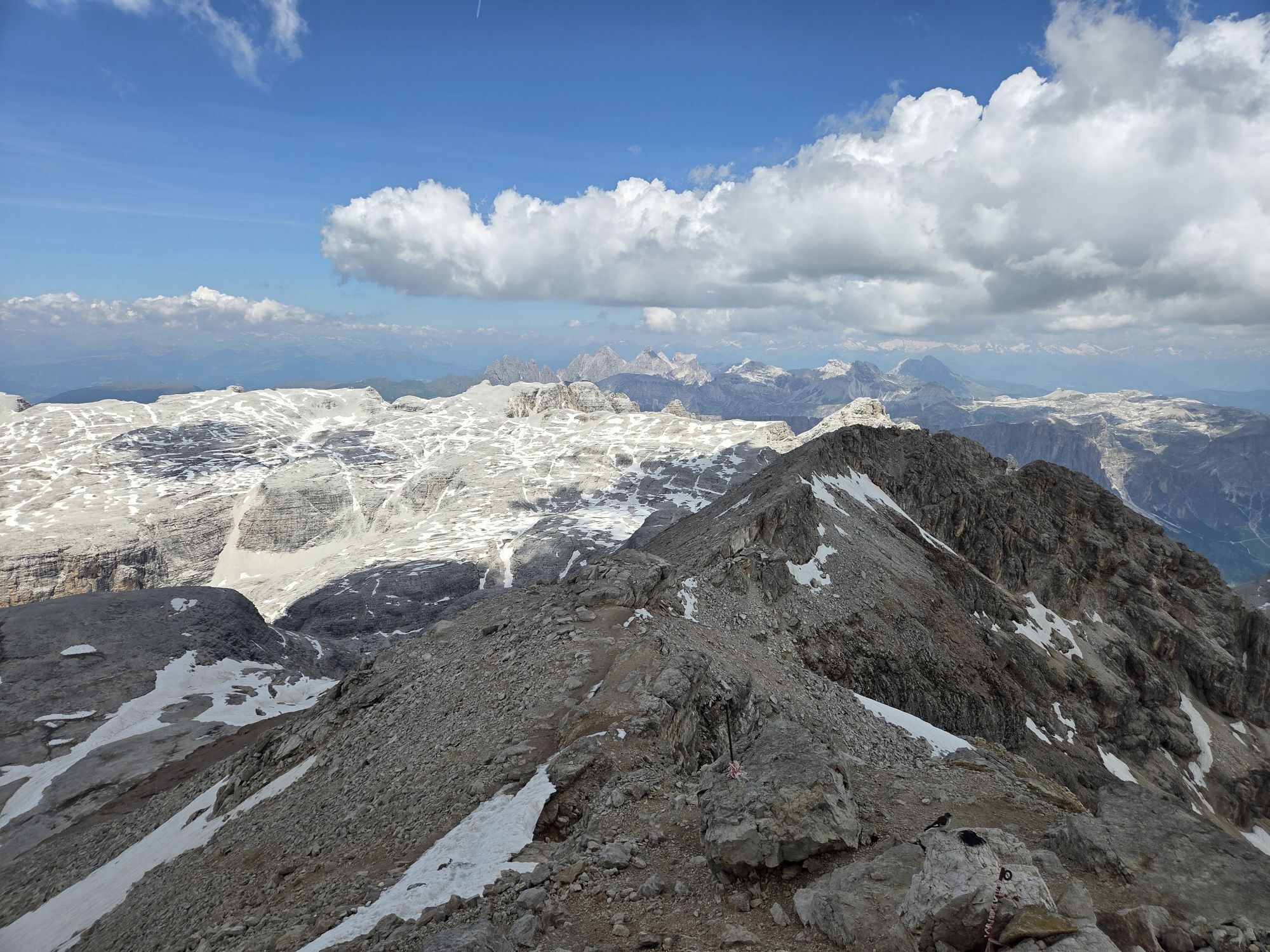
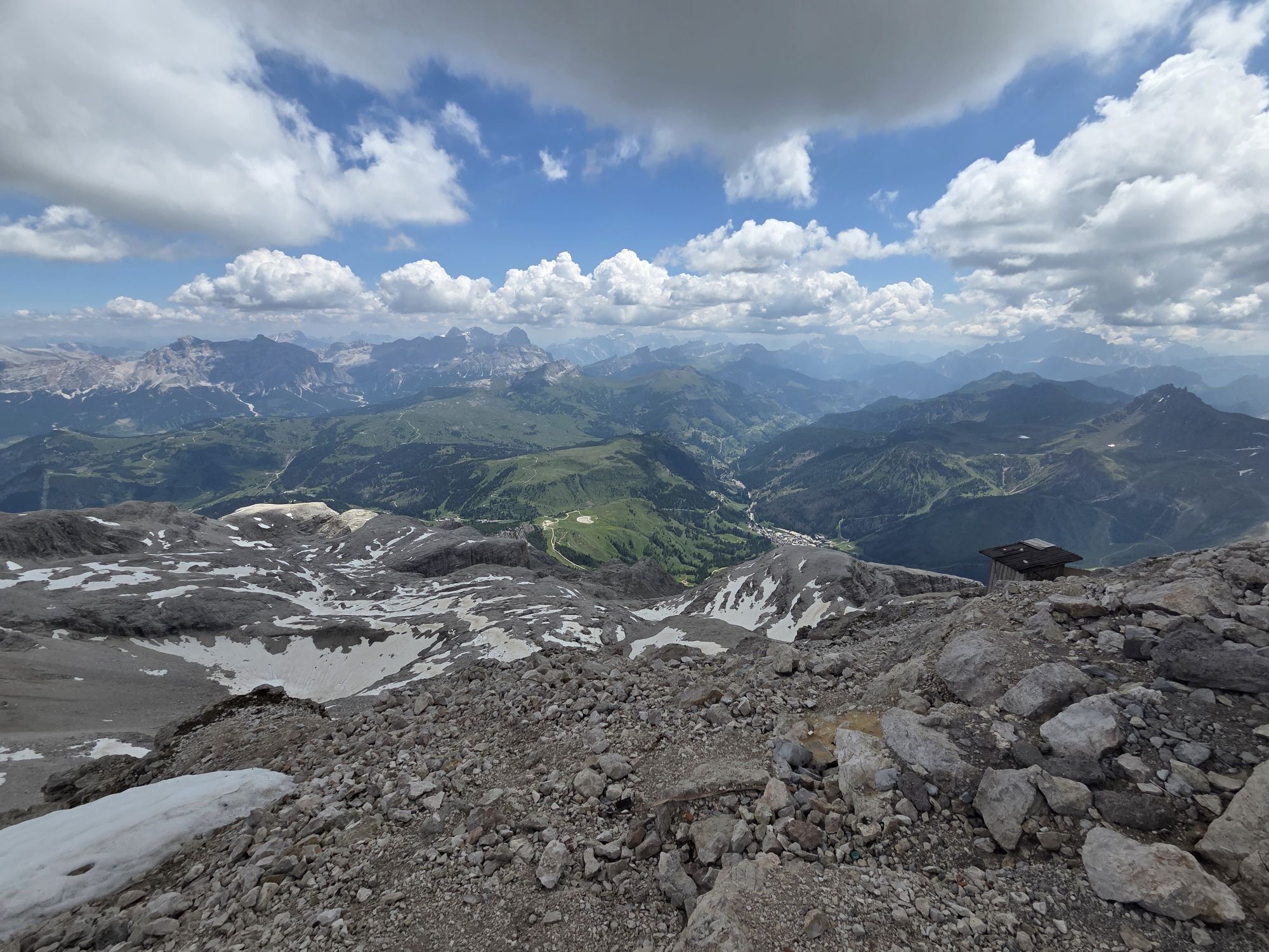
Once at the summit at 3,152 m a stop is recommended for refreshment and to admire the most beautiful peaks of the Dolomites, with a 360° panorama of rare beauty. The itinerary continues on trail marker nr. 638 and then on nr. 637 towards the "Bec de Roces".
Once at "Bec de Roces" take the chairlift which takes you to Passo Campolongo and the bus back to Arabba.
For those who prefer it is possible to walk back to Arabba on trail nr. 637 from "Bec de Roces".

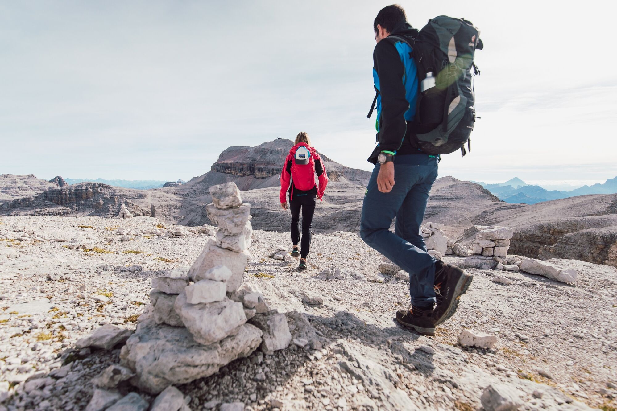
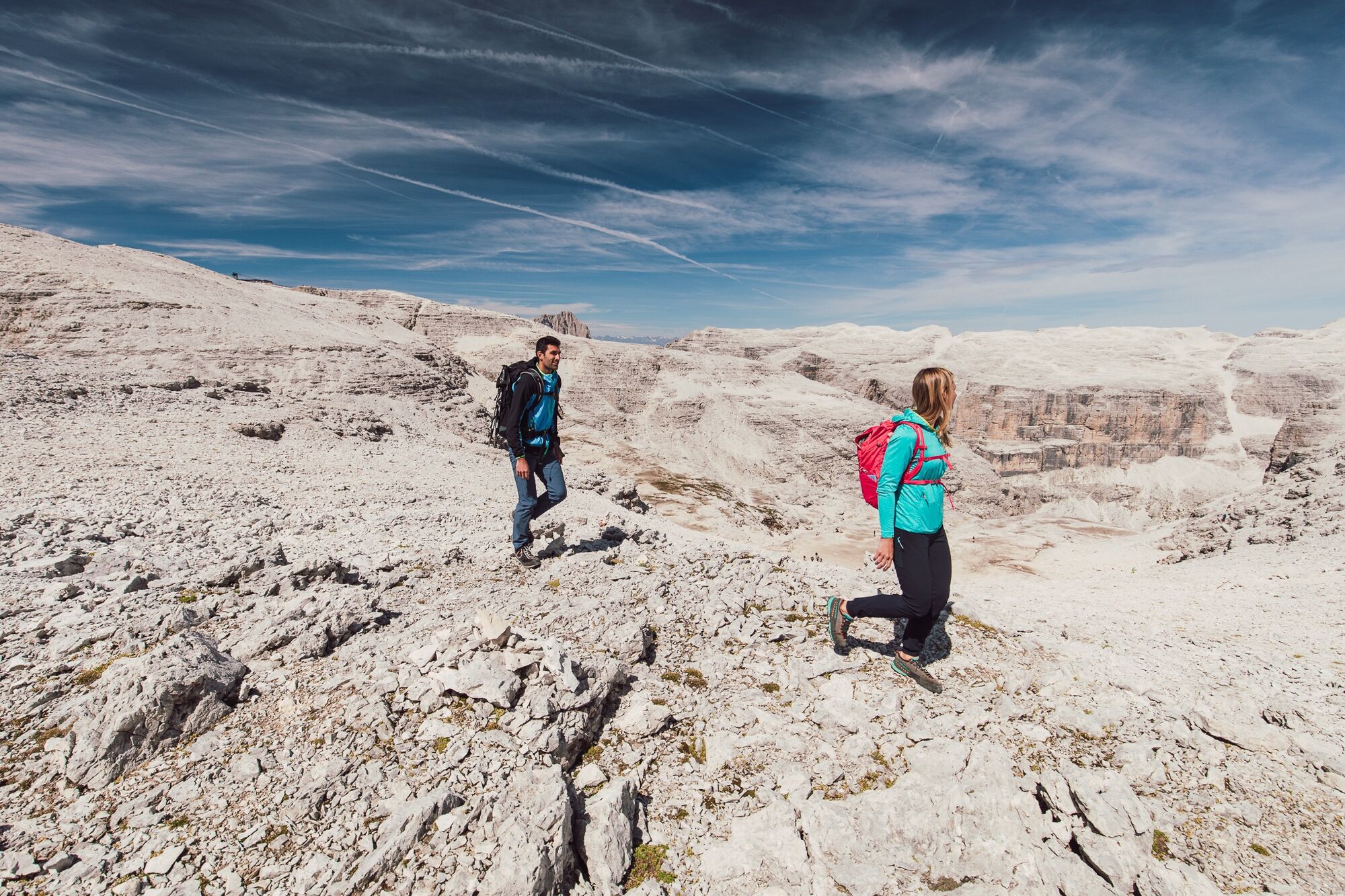
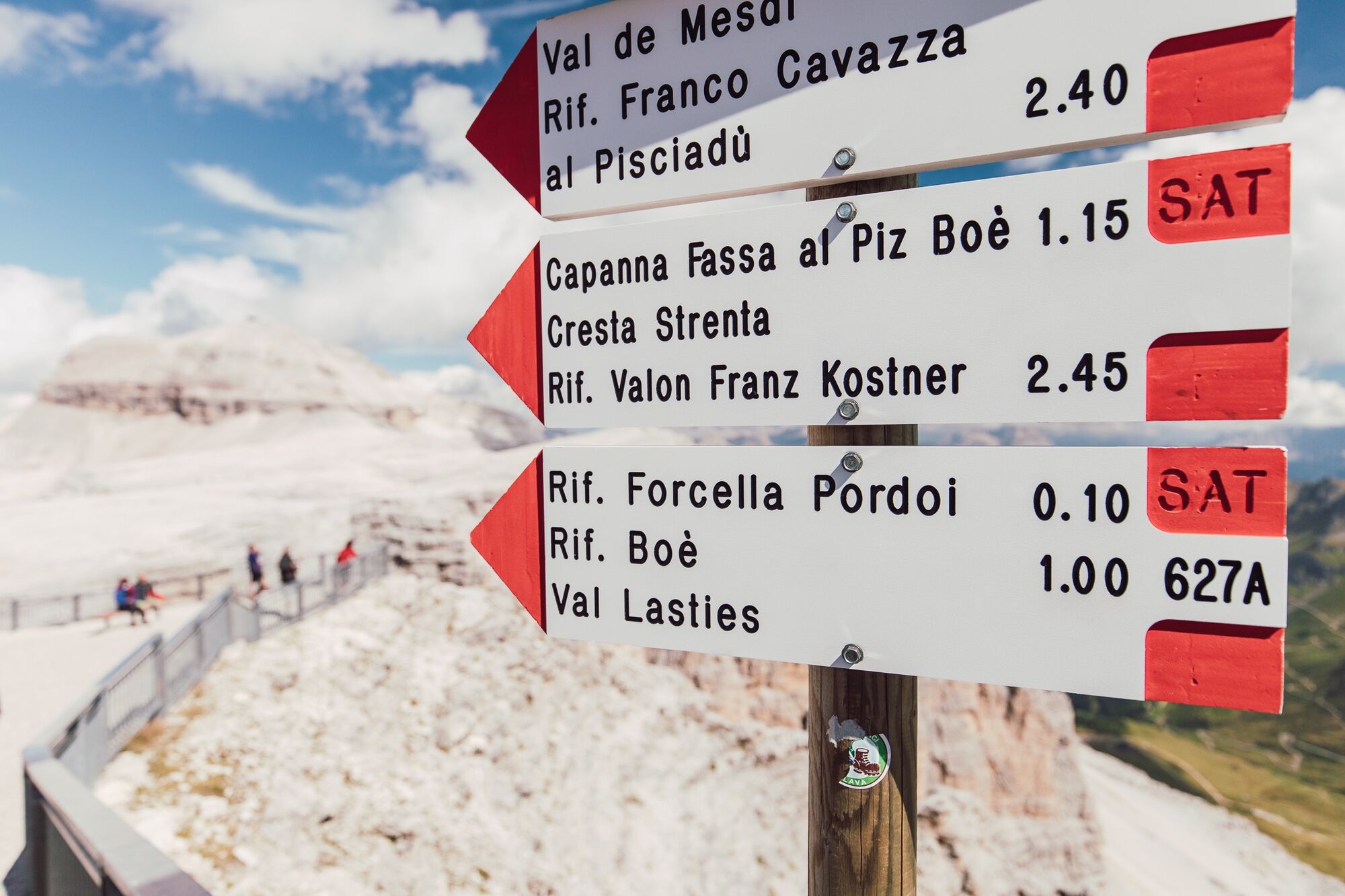

Clockwise route: departure from Arabba by bus to Passo Pordoi, then take the Sass Pordoi cable car which takes you to the famous panoramic terrace at 2,950 m altitude.
From here continue on trail nr. 627 and nr. 638 towards Piz Boè.
Once you reach the summit at 3,152 m, a break is recommended for refreshment and to admire the most beautiful peaks of the Dolomites, with a rare 360° panoramic view. The itinerary continues on trail markers nr. 638 and nr. 637 towards Bec de Roces.
Once at Bec de Roces, take the chairlift that takes you to Passo Campolongo and the bus back to Arabba.
For those who prefer, it is possible to walk back to Arabba on trail nr. 637 from Bec de Roces.
Counterclockwise route: from the center of Arabba, take the bus to Passo Campolongo and then the "Bec De Roces" chairlift. Once at the top, take trails nr. 637 and nr. 638 towards Bec De Roces.
Pass these peaks, continue on trail nr. 630 towards the summit of Piz Boè, where it is worth making a long refreshment stop to admire the 360° panorama of the Dolomites.
After descending from the summit, continue towards Sass Pordoi where, for the more daring, there is the option to descend to Passo Pordoi by cable car. For those who are not yet tired, it is possible to descend on foot via the Pordoi saddle.
From the pass, the bus will take you back to Arabba.
Da
Da
Da
The hiker's kit:
waterproof backpack or with waterproof cover (not too large if the hike is short) topographic map (alternatively local map with recommended trails) compass and altimeter (alternatively sports watch) binoculars water bottles energy bars or snacks chocolate sandwiches (alternatively lunch at a mountain hut) breathable t-shirt spare t-shirt (preferably breathable) sweater or fleece windproof and waterproof jacket shorts long pants socks (long or mid-calf) soft, multi-sport hiking boots that wrap the ankle light cap/headband anti-reflective sunglasses sunscreen telescopic trekking poles first aid kit (plasters, disinfectant, gauze, etc.)Long hike to be attempted only if fit and if the weather is good.
Always let someone know where you are going and the approximate duration of the hike.
The emergency phone number is 112 or 118 (ambulance).
By car
From Innsbruck: Brenner A22 highway to Bressanone toll booth, continue through Val Pusteria, Val Badia, Passo Campolongo, Arabba and Passo Pordoi. From Verona/Milan: Brenner A22 highway to Egna Ora castle, continue through Val di Fiemme, Val di Fassa, Passo Pordoi. From Venice: A27 highway Belluno exit, follow the Agordina 203 to Agordo, Caprile, Arabba and Passo Pordoi.By train
Nearest train stations:
Belluno - 70 km Brunico - 48 km Ponte Gardena - 51 kmBy bus
Brunico - 47 km connection via SAD line www.sad.it Belluno – 70 km connection via Dolomitibus line www.dolomitibus.itBy plane
Venice Treviso/Venice Marco Polo – 160/170 km Innsbruck - 140 km Verona – 270 km Milan Bergamo/Milan Malpensa - 310/400 kmThe passes Campolongo and Pordoi and Arabba, the start and end points of the hike, are connected with other tourist centers in the Province of Belluno and Trentino-Alto Adige by interurban lines.
More information, schedules and activation dates of the service at www.sad.it and www.dolomitibus.it
Large open spaces and parking areas at the top of Passo Pordoi.
Before departing, we recommend checking the weather (Dolomiti Meteo), which changes rapidly in the mountains, as well as trail conditions.
"The sustainable hiker's handbook":
choose the route based on your physical and technical abilities research the planned path before departure (distances, elevation gain, time required, springs, fountains, huts, lifts, bivouacs, etc.) check the condition of the chosen trail never go on a hike alone always carry all waste back down please stay on marked trails please keep quiet do not collect stones or minerals do not feed animals no fires allowed do not pick flowers or plants.
Spletne kamere s turneje
Plan de Gralba
Col dei Rossi
Colfosco
Alta Badia - Rifugio Ütia de Bioch
Arabba - Bec de Roces
Arabba - Porta Vescovo
Val Gardena - Citta dei Sassi
Canazei - Col dei Rossi
Canazei - Col dei Rossi
Canazei - Col dei Rossi
Canazei - Col Rodella
Canazei - Col dei Rossi
Canazei - Col dei Rossi
Canazei - Col dei Rossi
Canazei - Col dei Rossi
Canazei - Col dei Rossi
Piz Arlara
Piz Arlara
Piz Arlara
Piz Arlara
Piz Arlara
Piz Arlara
Edelweiss Tal - Colfosco
Boé
Boé
Boé
Boé
Boé
Grödner Joch
Grödner Joch
Grödner Joch
Grödner Joch
Grödner Joch
Grödner Joch
Boé
Mezdi Bergstation
Mezdi Bergstation
Mezdi Bergstation
Mezdi Bergstation
Mezdi Bergstation
Pridobite vpogled Vedno v živo na mestu z več kot 9.500 spletnimi kamerami. bergfex Kot uporabnik Pro si lahko zdaj ogledate ustrezne spletne kamere za številne izlete v aplikaciji izleti iz. Tako si lahko neposredno ogledate trenutne razmere. Priljubljeni izleti v okolici
- 4.8
The Munkelweg trail beneath the Geisler peaks
srednjaPohodništvo 9.11 km - 4.7
Pordoi Pass - Sass Pordoi - Forcella Pordoi - Piz Boè - Boè Refuge - Forcella Pordoi - Pordoi Pass
težkoPohodništvo 8.39 km - 5.0
Langkofel Klettersteig/Ferrata Furcela de Saslonch
težkoVia ferrata 7.07 km - 5.0
Um den Langkofel
srednjaPohodništvo 9.76 km - 4.0
Der Friedrich-August-Weg
srednjaPohodništvo 10.4 km - 4.9
Lang- und Plattkofel Umrundung
srednjaPohodništvo 17.5 km - 4.8
Langkofel-Umrundung
srednjaPohodništvo 12.9 km - 4.8
Vom Col Raiser über die Seceda und Pieralongia zur Regensburger Hütte
srednjaPohodništvo 10.4 km - 4.8
Pisciadùsteig Sella Gruppe
srednjaVia ferrata 7.15 km - 4.4
Seceda und Regensburger Hütte
srednjaPohodništvo 14.1 km
Pohodništvo in sledenje


Ne zamudite ponudb in navdiha za naslednje počitnice
Vaš e-poštni naslov je bil dodan na poštni seznam.





