


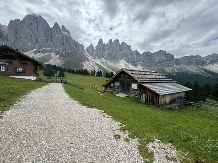
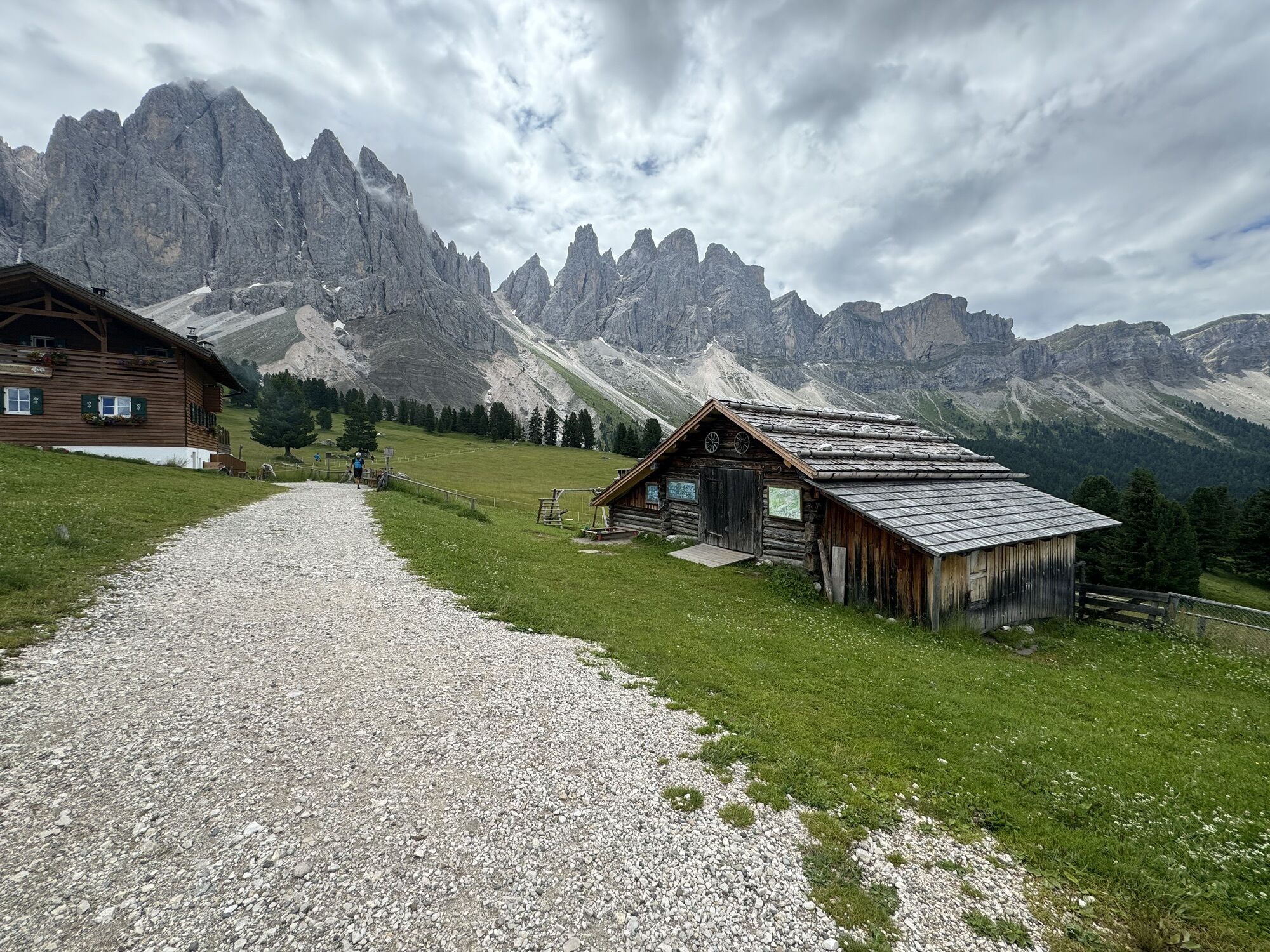
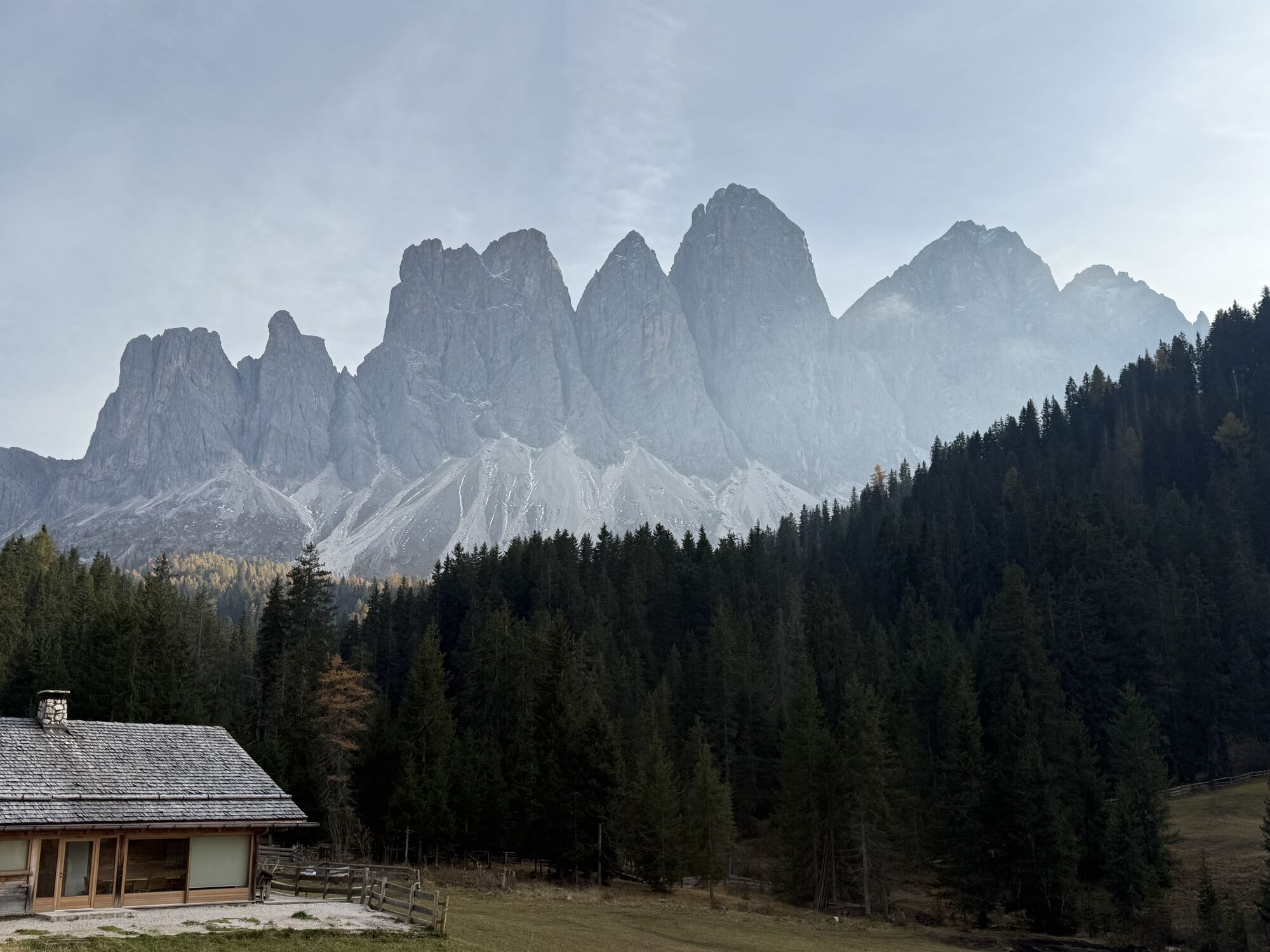
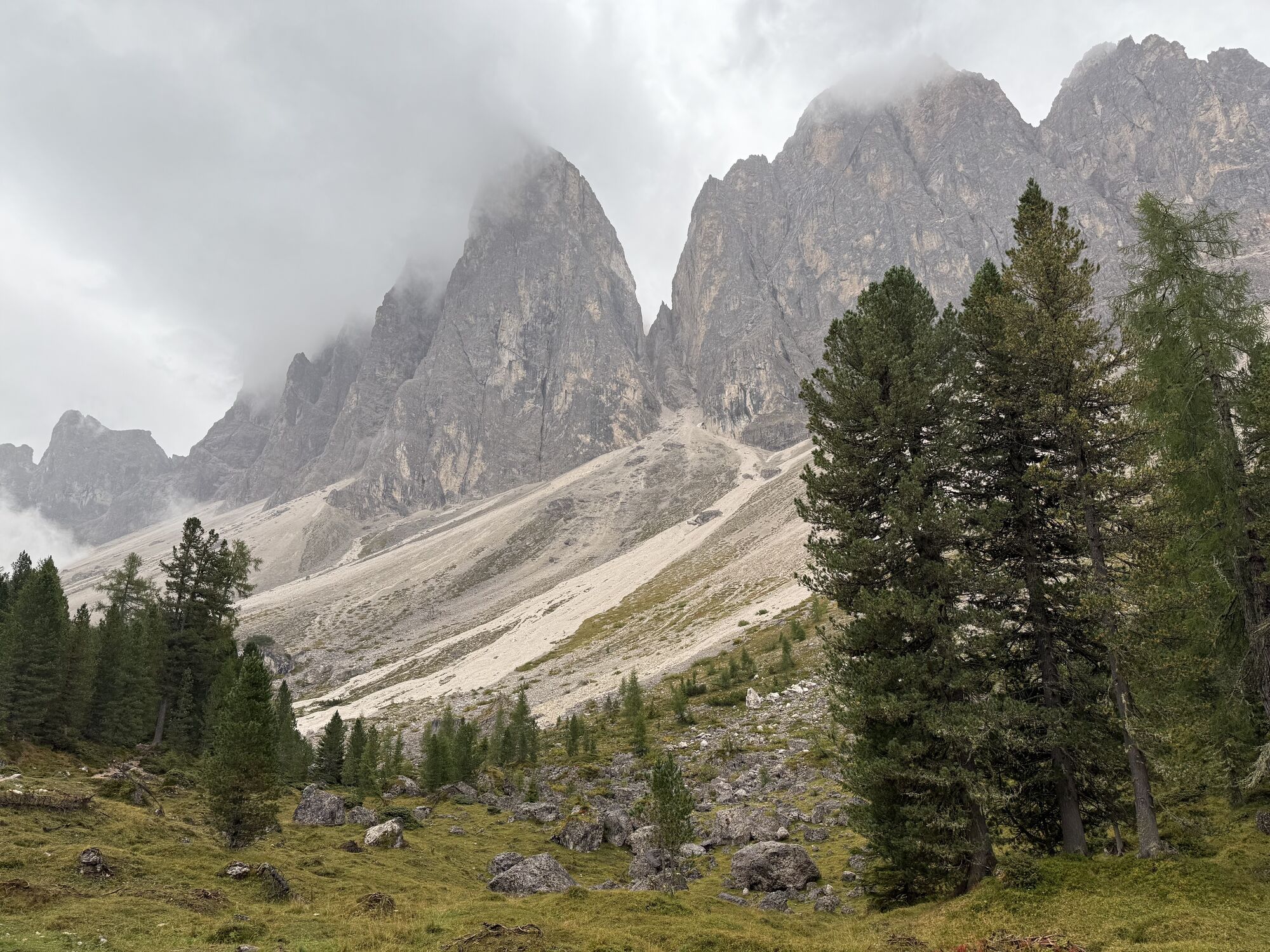
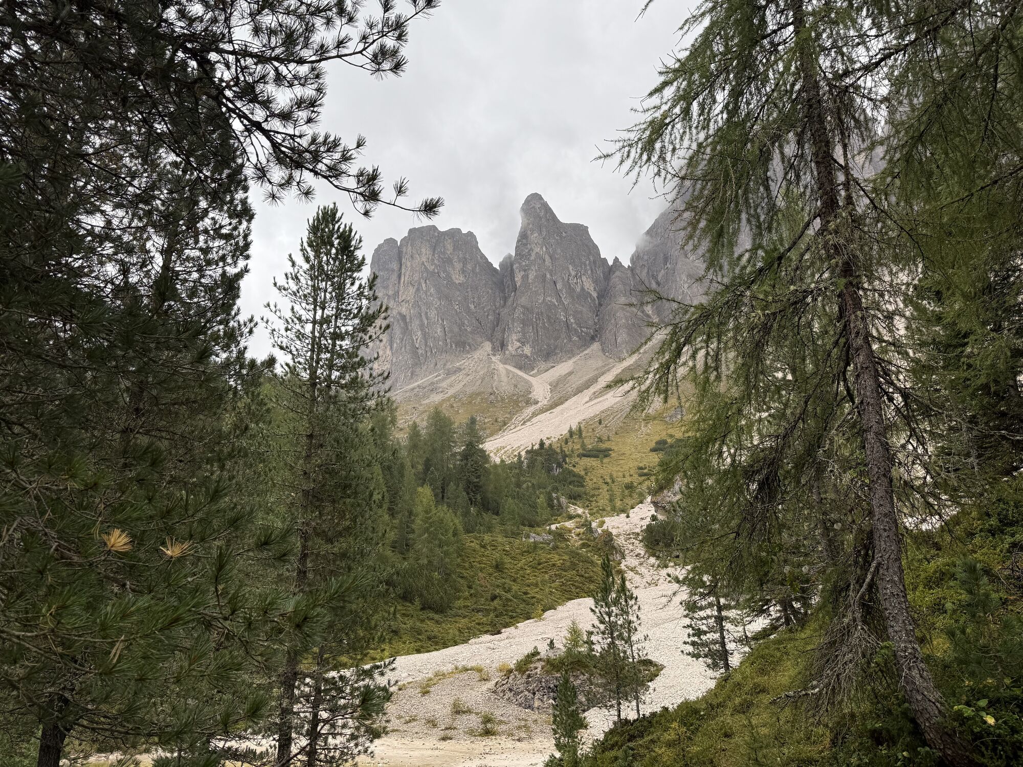
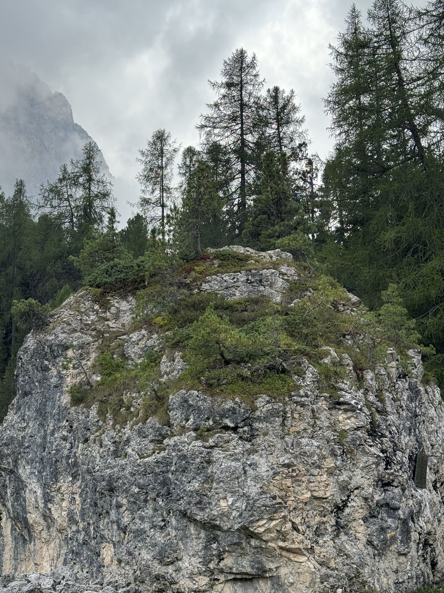
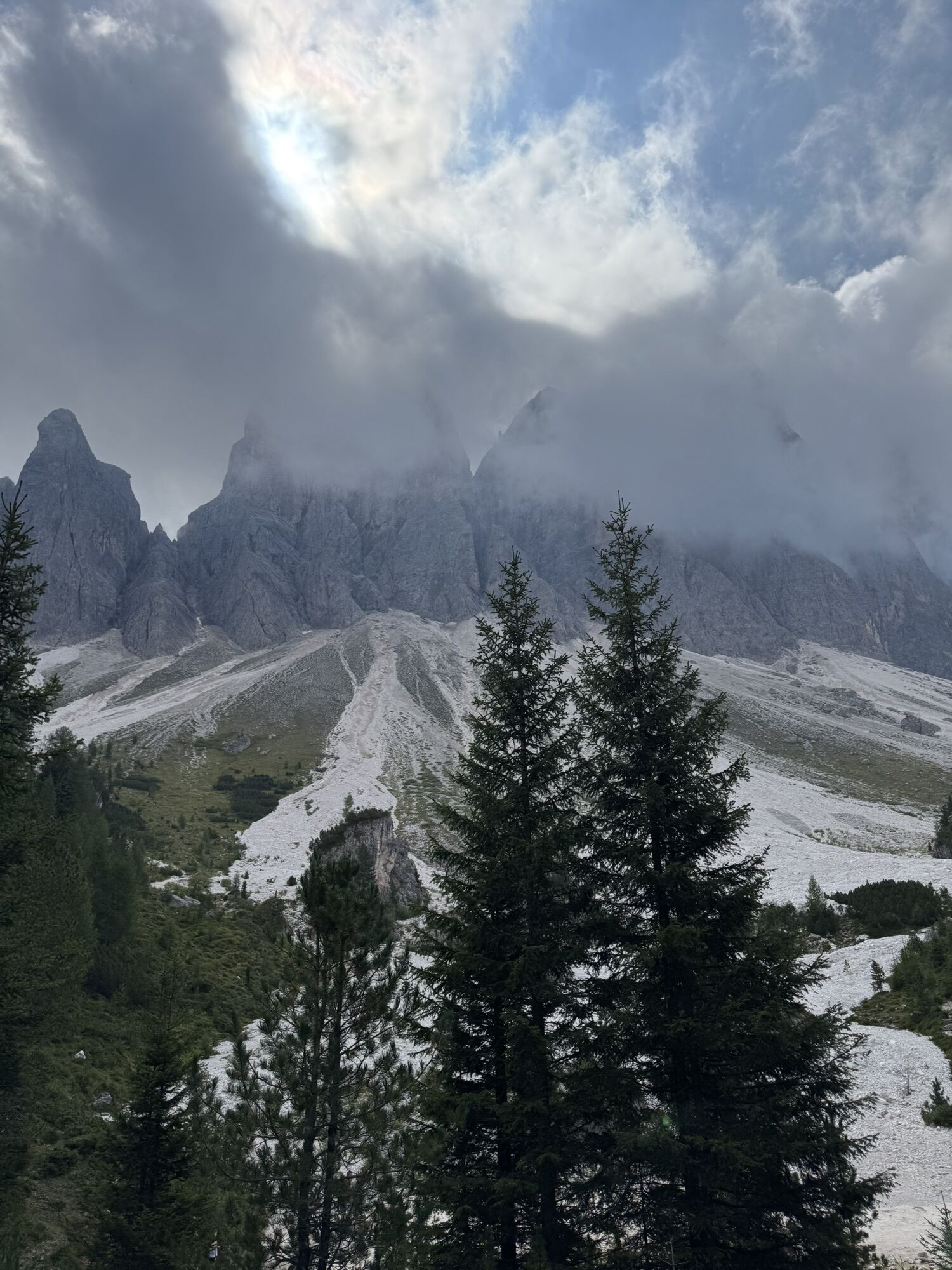
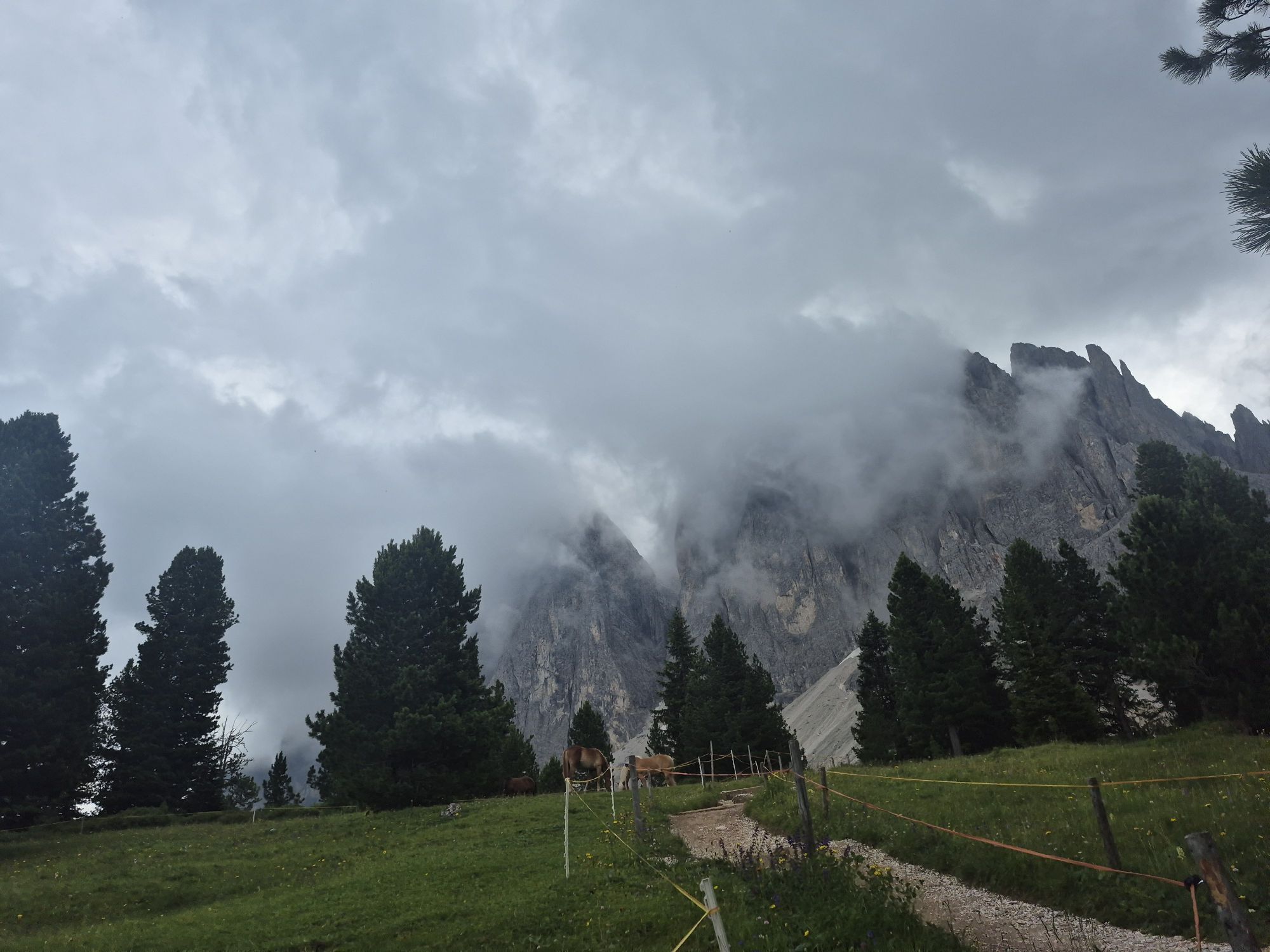
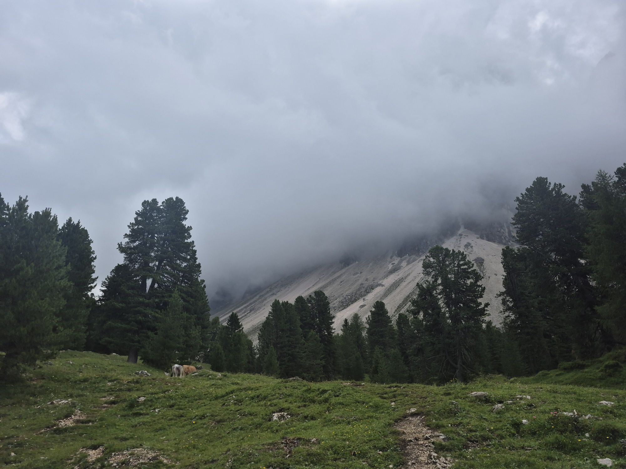
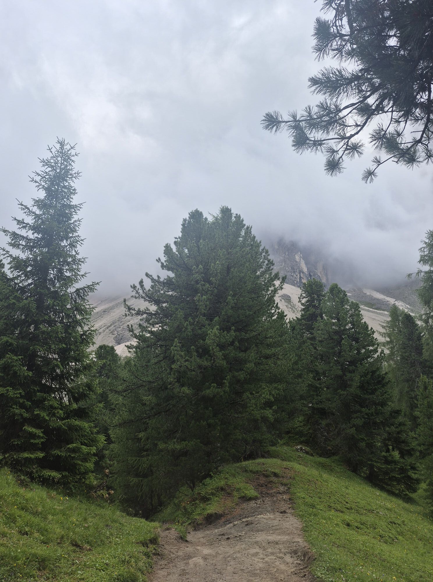
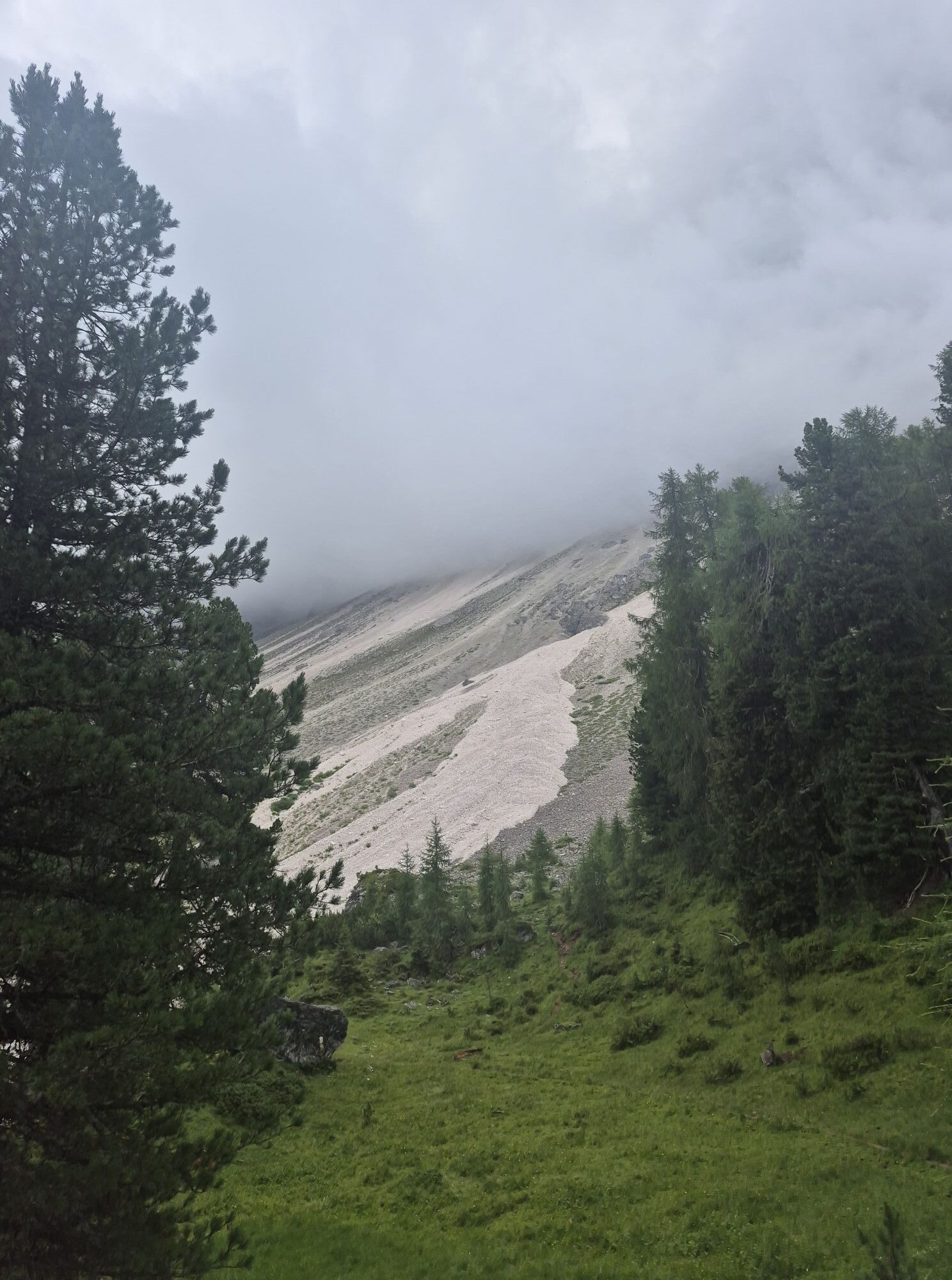
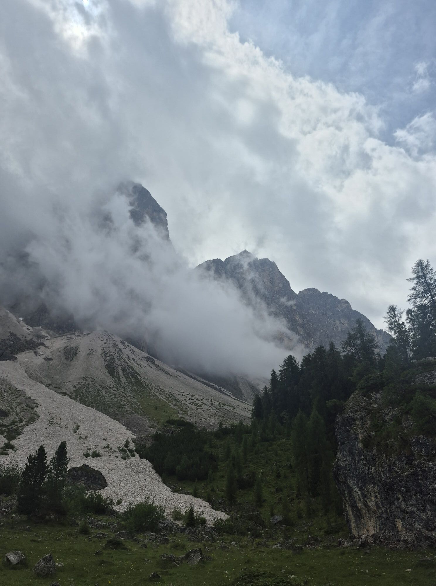
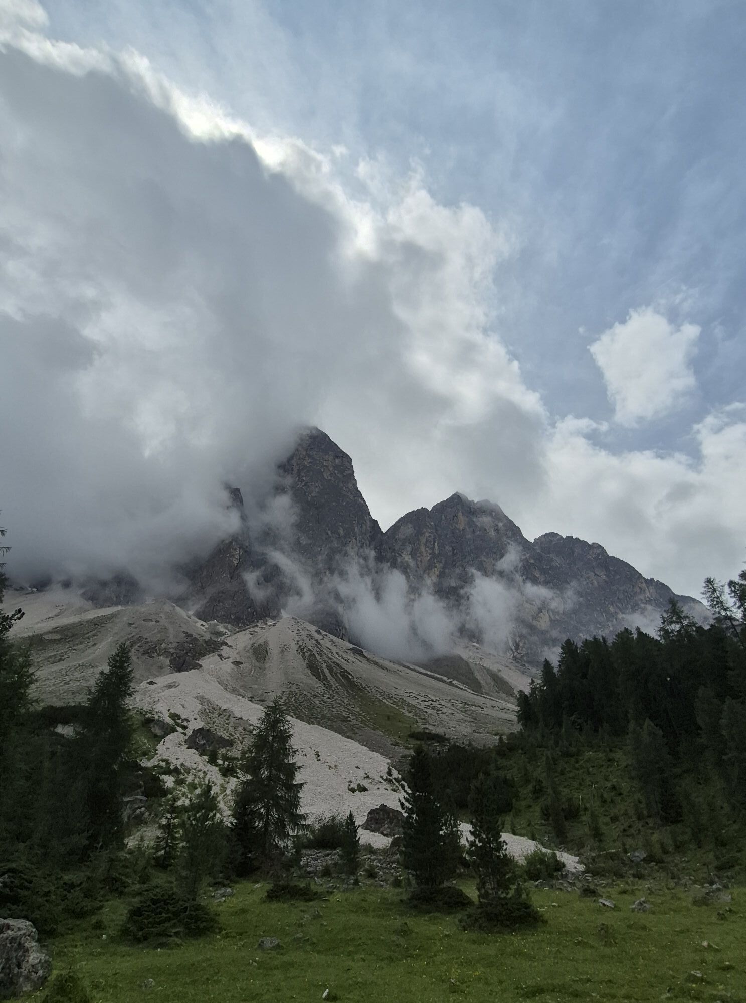
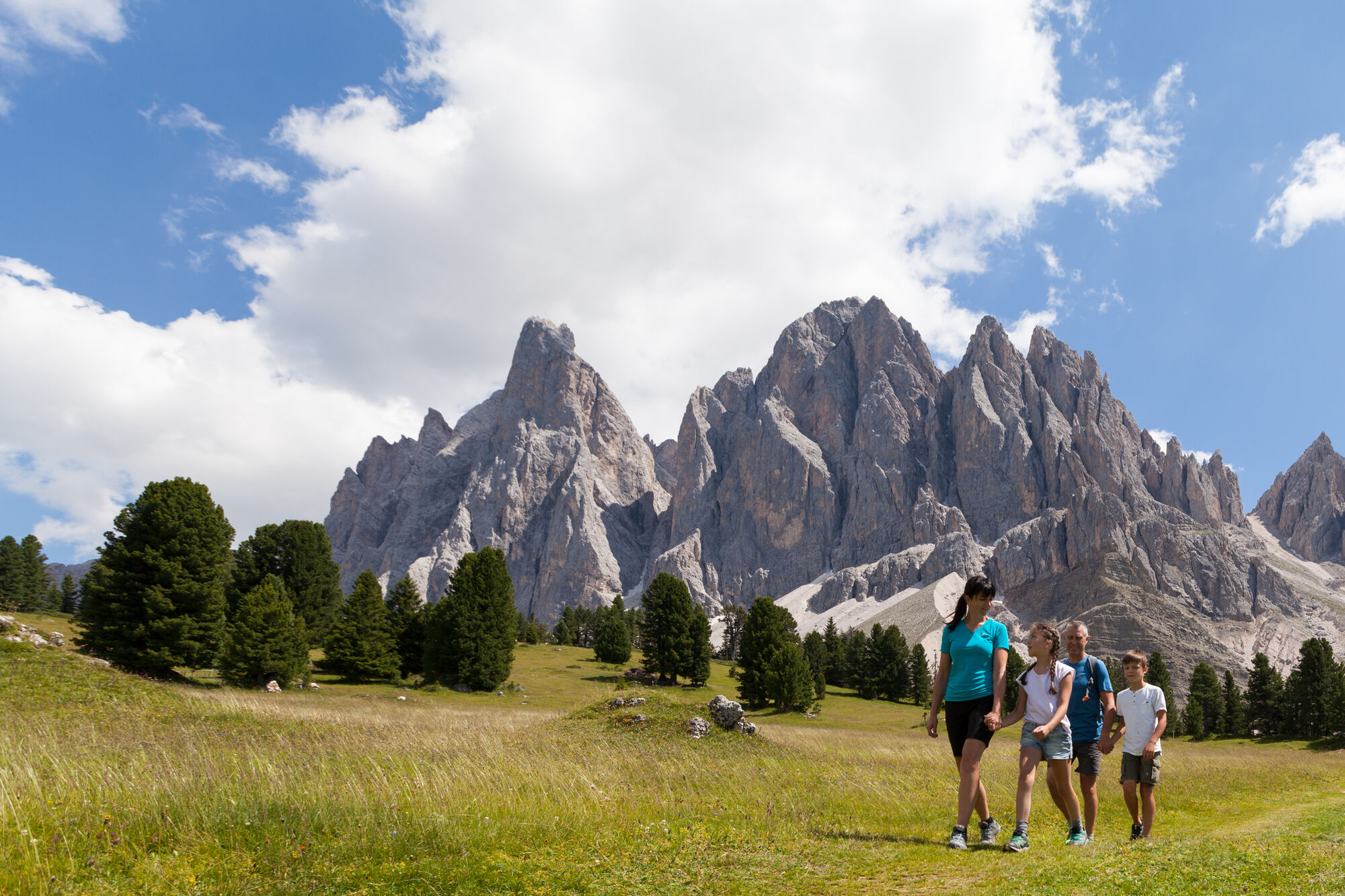
The Munkelweg trail beneath the Geisler peaks
Fotografije naših uporabnikov
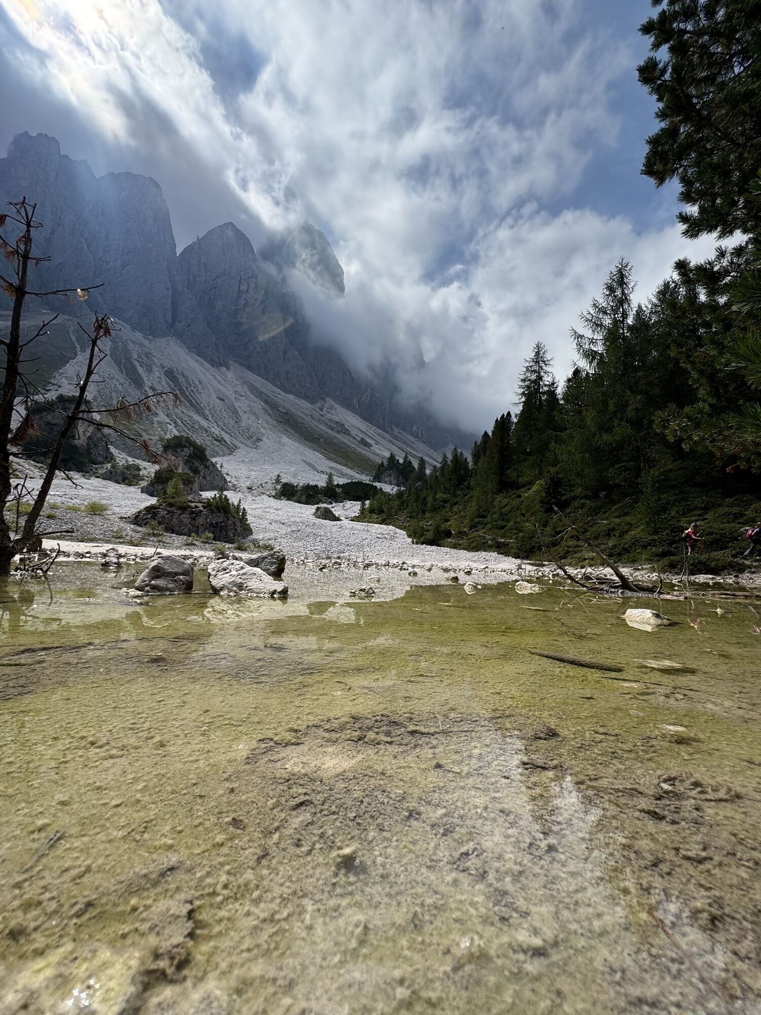
 © Stefano “Iddo”Ustvarjeno na 20.07.2024
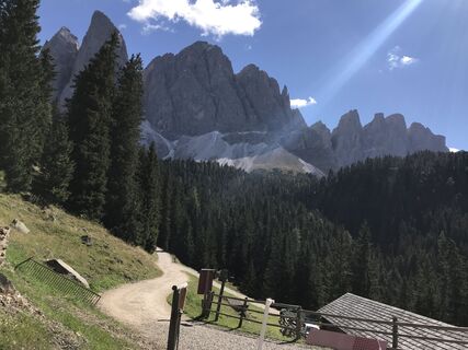
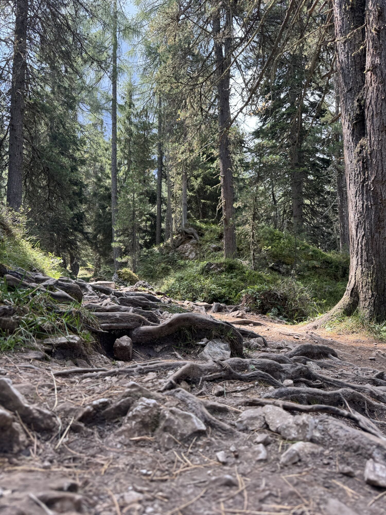
 © Reiner RichterUstvarjeno na 21.09.2022
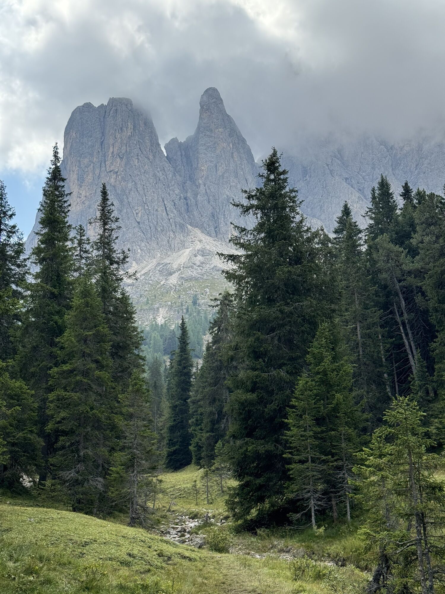
 © Patrizia SeppiUstvarjeno na 31.12.2025
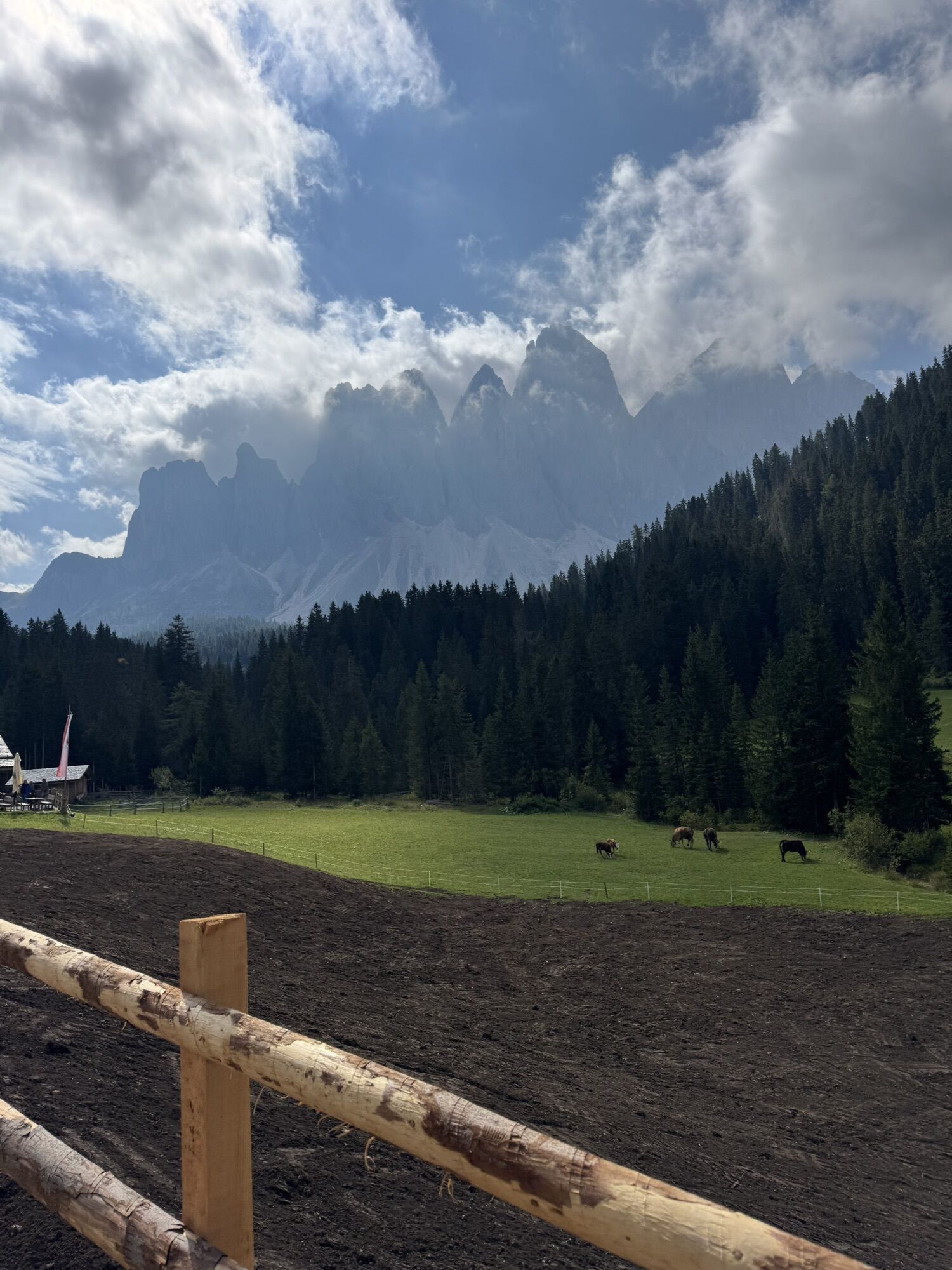
 © Nur Diyana ShaharudinUstvarjeno na 30.10.2025
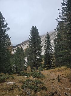 © Nur Diyana ShaharudinUstvarjeno na 30.10.2025
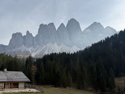
 © Norbert HerbigUstvarjeno na 19.10.2025
 © Norbert HerbigUstvarjeno na 19.10.2025
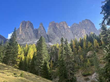
 © Rouven SchwarkUstvarjeno na 09.10.2025
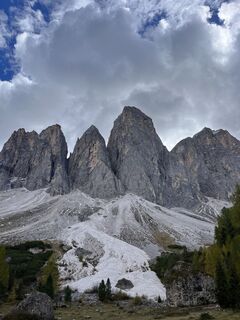 © Rouven SchwarkUstvarjeno na 09.10.2025
 © Markus MantingerUstvarjeno na 02.10.2025
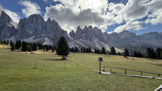
 © Andreas WohlrabUstvarjeno na 29.09.2025
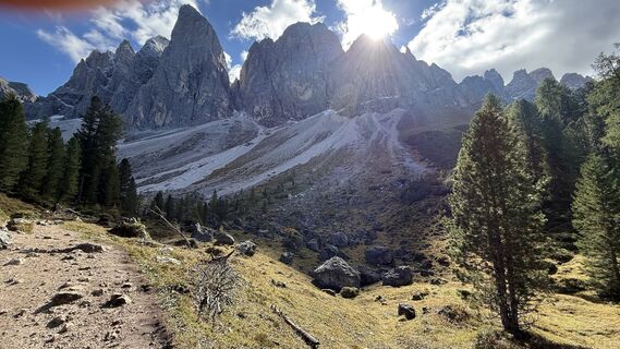 © Andreas WohlrabUstvarjeno na 29.09.2025
 © Knausis.travel.diariesUstvarjeno na 19.09.2025
 © Knausis.travel.diariesUstvarjeno na 19.09.2025
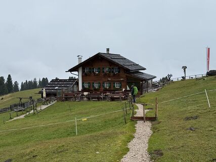
 © Frank de VriesUstvarjeno na 10.09.2025
 © Frank de VriesUstvarjeno na 10.09.2025
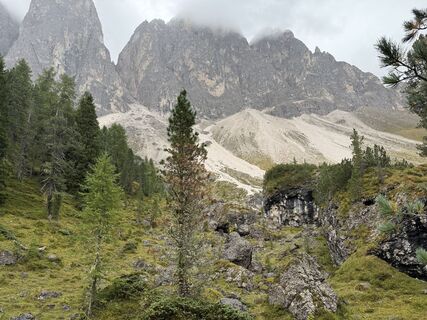 © Frank de VriesUstvarjeno na 10.09.2025
 © Frank de VriesUstvarjeno na 10.09.2025
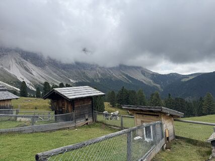
 © Tobias RudolphUstvarjeno na 01.09.2025
 © Christoph WogeUstvarjeno na 27.08.2025
 © Christoph WogeUstvarjeno na 27.08.2025
 © Christoph WogeUstvarjeno na 27.08.2025
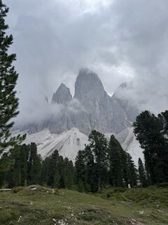 © Christoph WogeUstvarjeno na 27.08.2025
 © Christoph WogeUstvarjeno na 27.08.2025
 © Christoph WogeUstvarjeno na 27.08.2025
 © Christoph WogeUstvarjeno na 27.08.2025
 © Christoph WogeUstvarjeno na 27.08.2025
 © Christoph WogeUstvarjeno na 27.08.2025
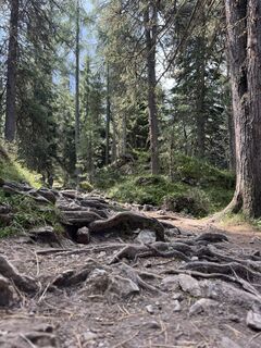 © Christoph WogeUstvarjeno na 27.08.2025
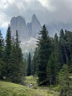 © Christoph WogeUstvarjeno na 27.08.2025
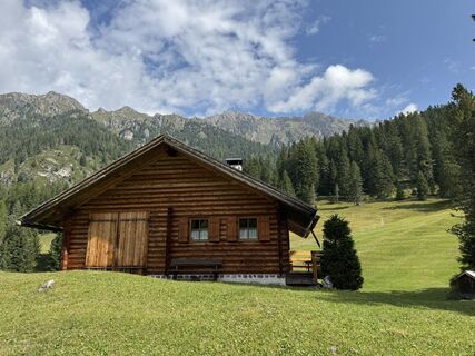 © Christoph WogeUstvarjeno na 27.08.2025
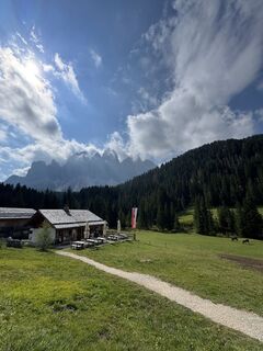 © Christoph WogeUstvarjeno na 27.08.2025
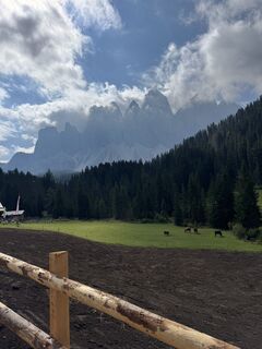 © Christoph WogeUstvarjeno na 27.08.2025
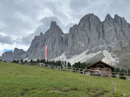 © Helmut ErtzUstvarjeno na 23.08.2025
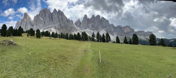 © Helmut ErtzUstvarjeno na 23.08.2025
 © Andreas W 2Ustvarjeno na 10.07.2025
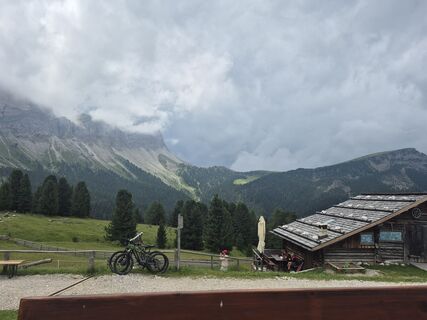
 © Oksana ZokhniukUstvarjeno na 06.07.2025
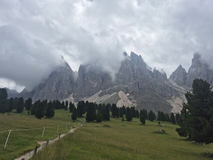 © Oksana ZokhniukUstvarjeno na 06.07.2025
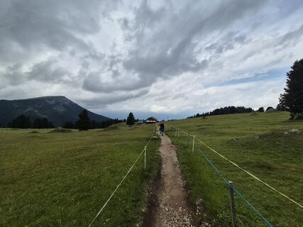 © Oksana ZokhniukUstvarjeno na 06.07.2025
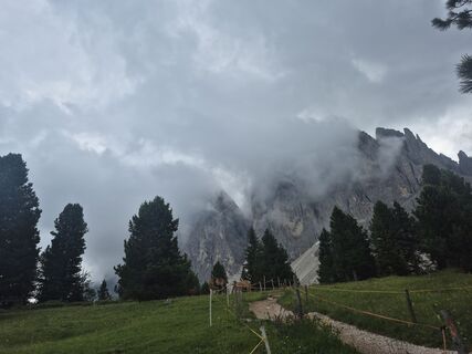 © Oksana ZokhniukUstvarjeno na 06.07.2025
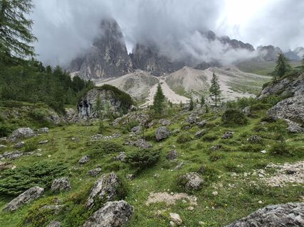 © Oksana ZokhniukUstvarjeno na 06.07.2025
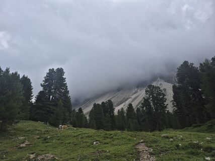 © Oksana ZokhniukUstvarjeno na 06.07.2025
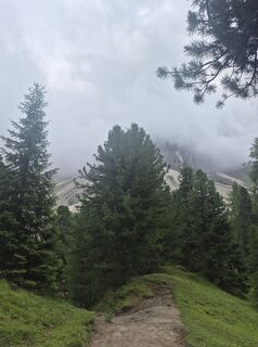 © Oksana ZokhniukUstvarjeno na 06.07.2025
 © Oksana ZokhniukUstvarjeno na 06.07.2025
 © Oksana ZokhniukUstvarjeno na 06.07.2025
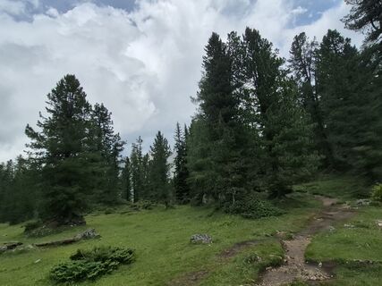 © Oksana ZokhniukUstvarjeno na 06.07.2025
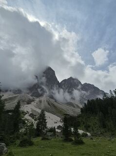 © Oksana ZokhniukUstvarjeno na 06.07.2025
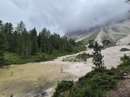 © Oksana ZokhniukUstvarjeno na 06.07.2025

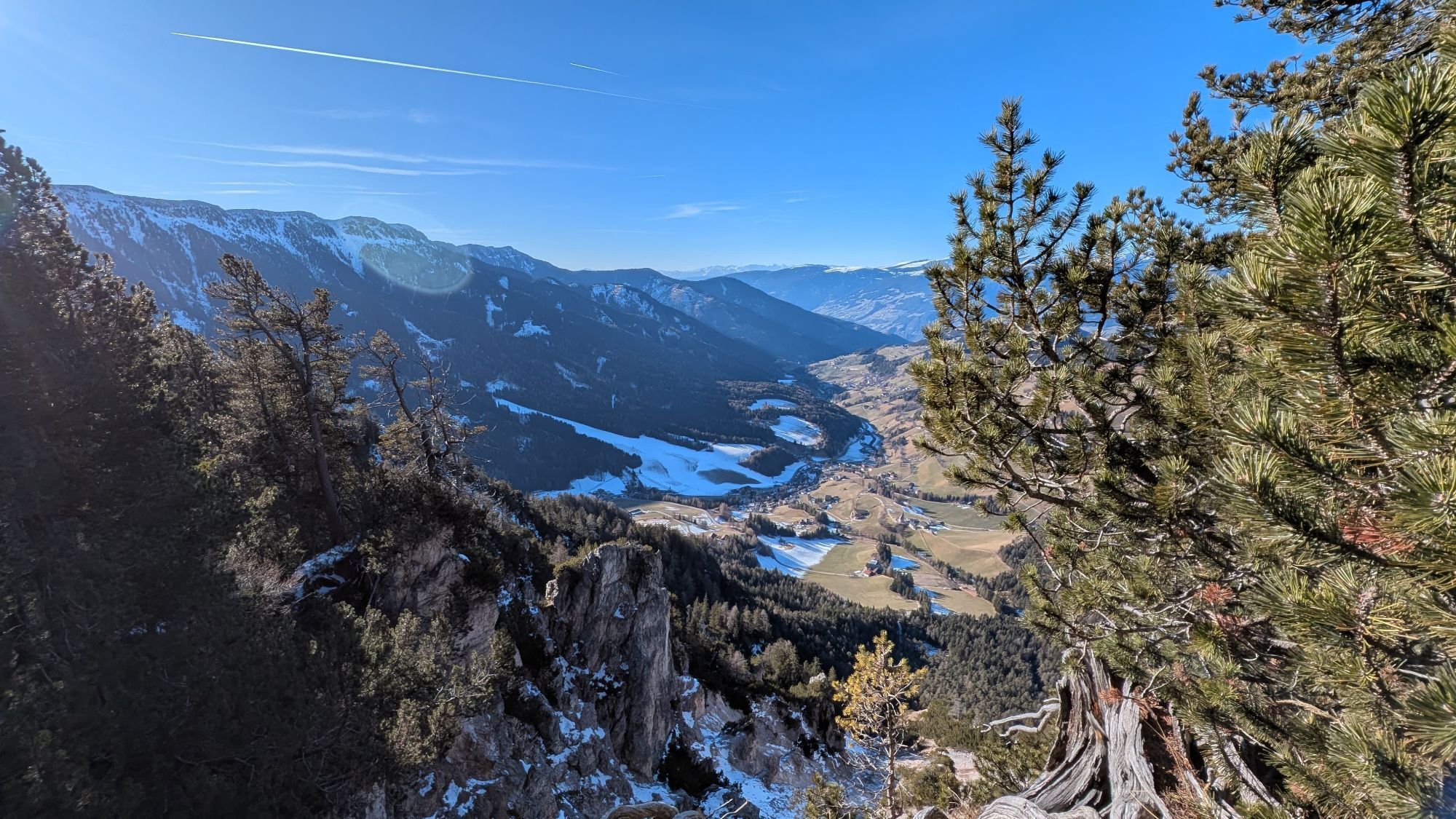


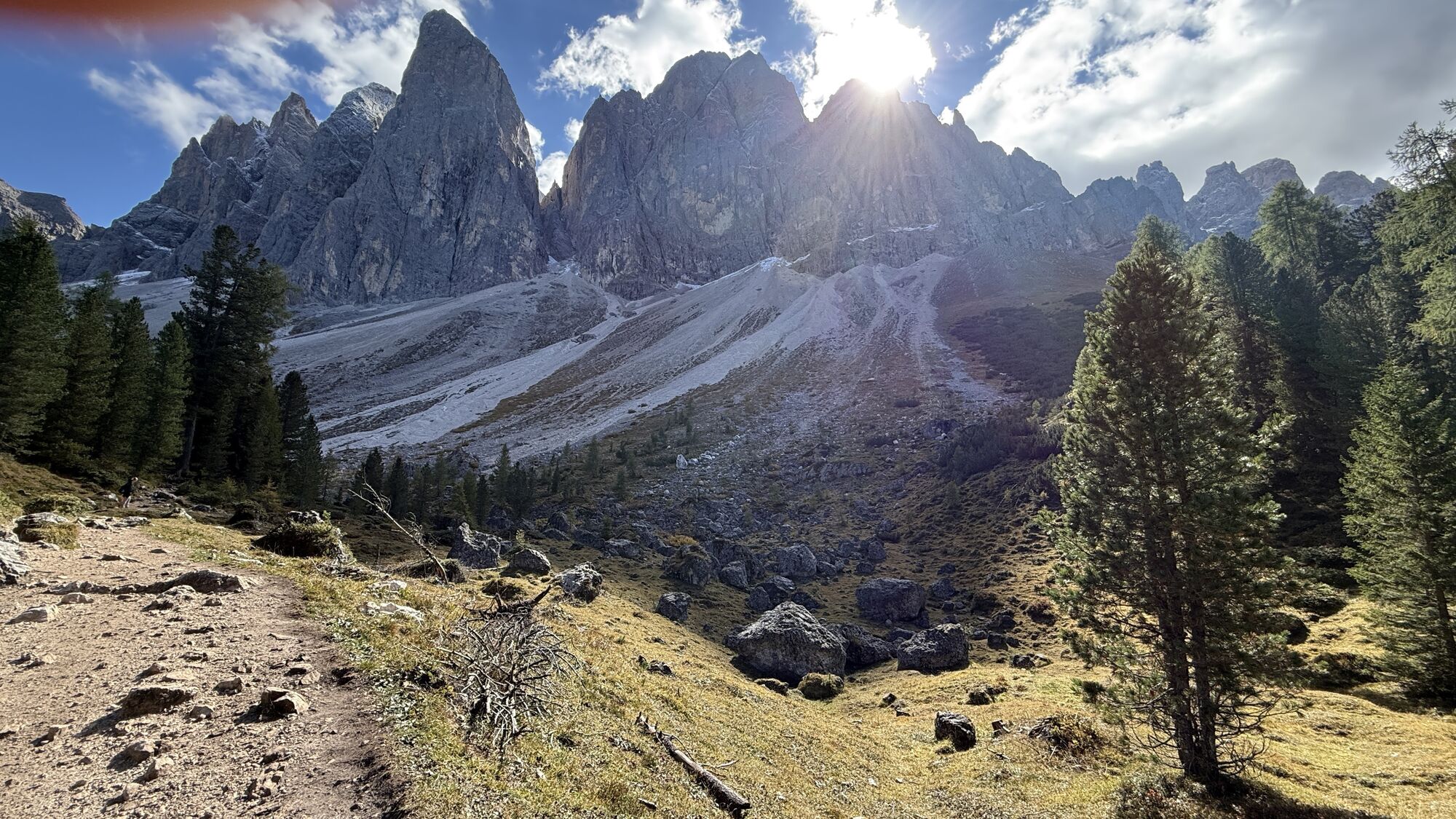

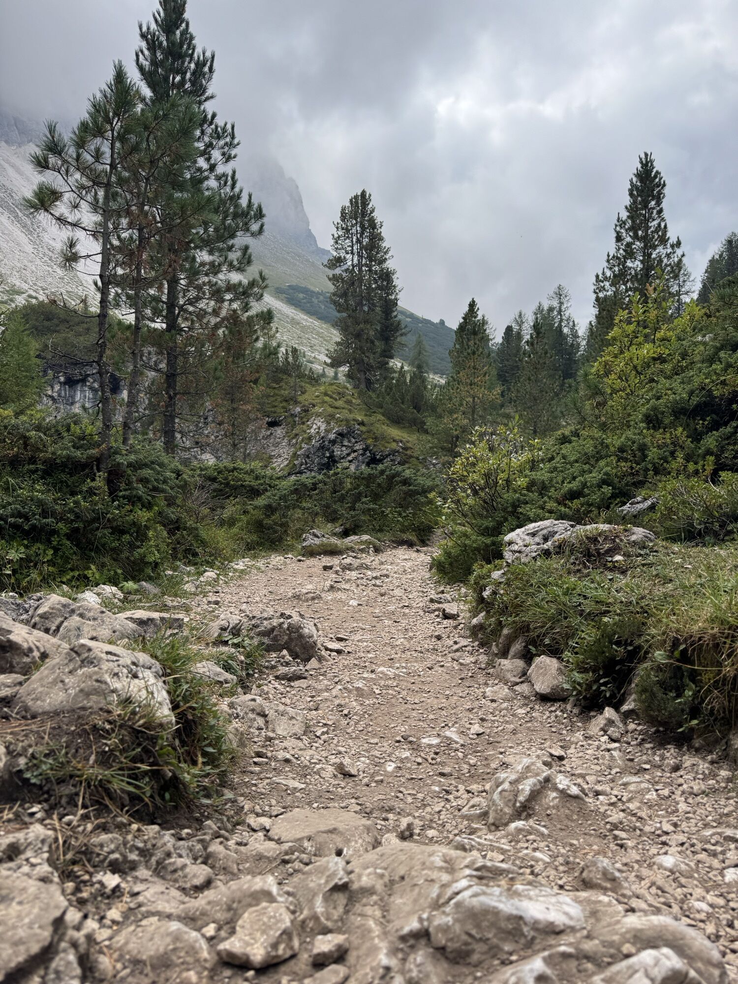
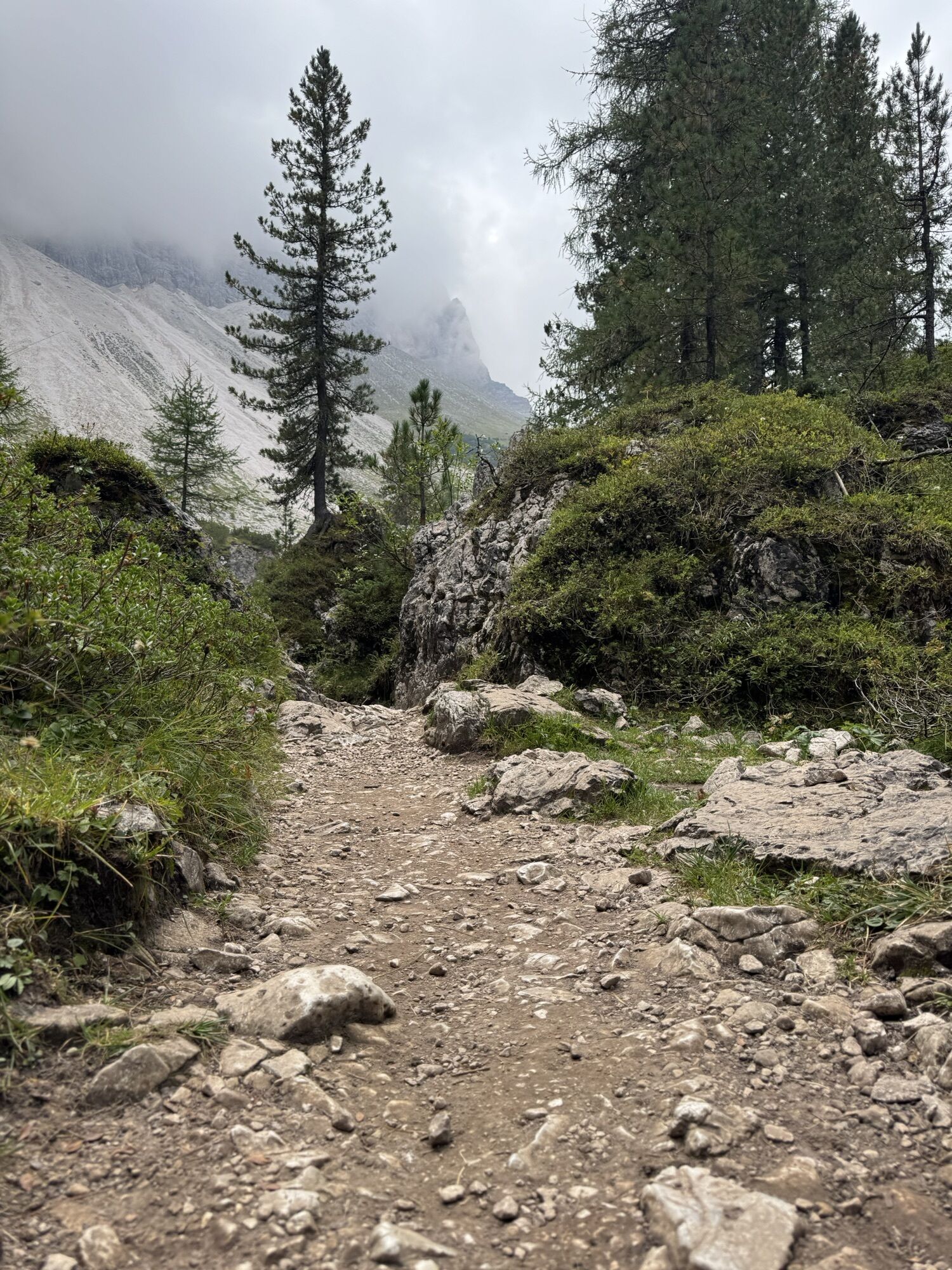


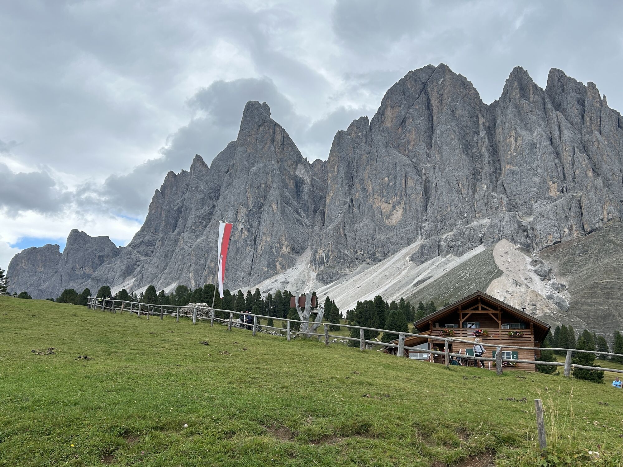


From the car park at the Zanseralm mountain hut (1,680 m) in the Villnösstal Valley, follow the signs to the Zans Nature Trail (Naturerlebnispfad Zans in German) past the Gasthof Sass Rigais Inn (1,689...
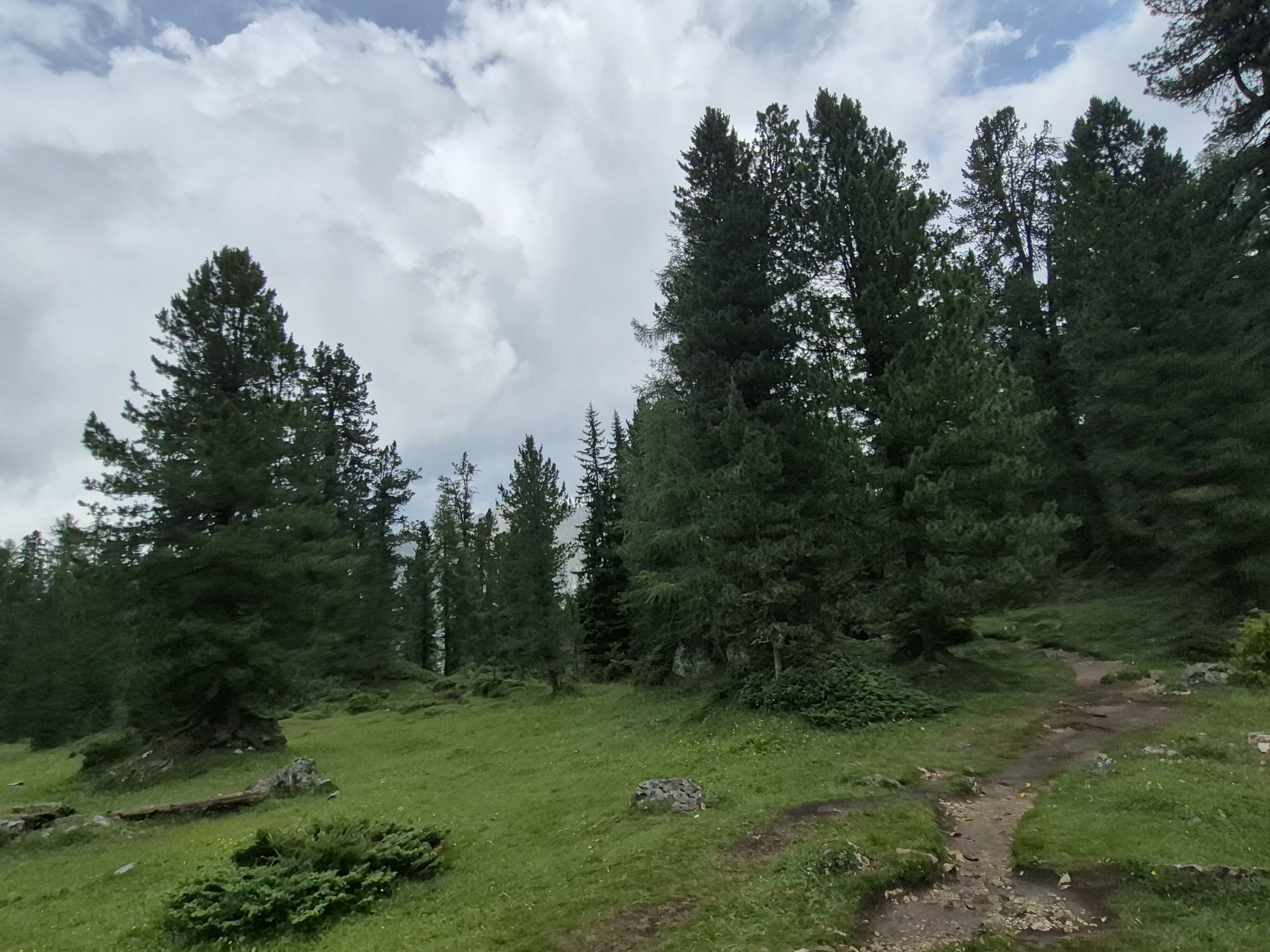
From the car park at the Zanseralm mountain hut (1,680 m) in the Villnösstal Valley, follow the signs to the Zans Nature Trail (Naturerlebnispfad Zans in German) past the Gasthof Sass Rigais Inn (1,689 m) and the Zanser Schwaige mountain hut. Ascend trail no. 32 through a gentle forest track to the right bank of the Tschantschenonbach torrent. At the crossing take the trail to the Gampenalm mountain hut and take a right turn. Just past the bridge turn left over the Tschantschenonbach and follow the sign to the Adolf-Munkel-Weg Trail no. 35. Established in 1905, the hiking trail takes its name from the founder and chairman of the Dresden Section of the German and Austrian Alpine Association.
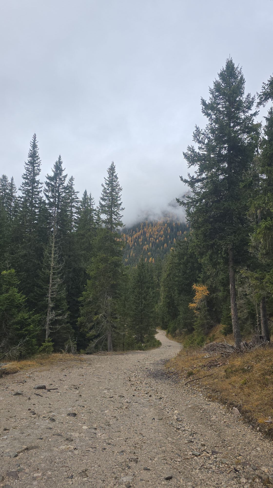
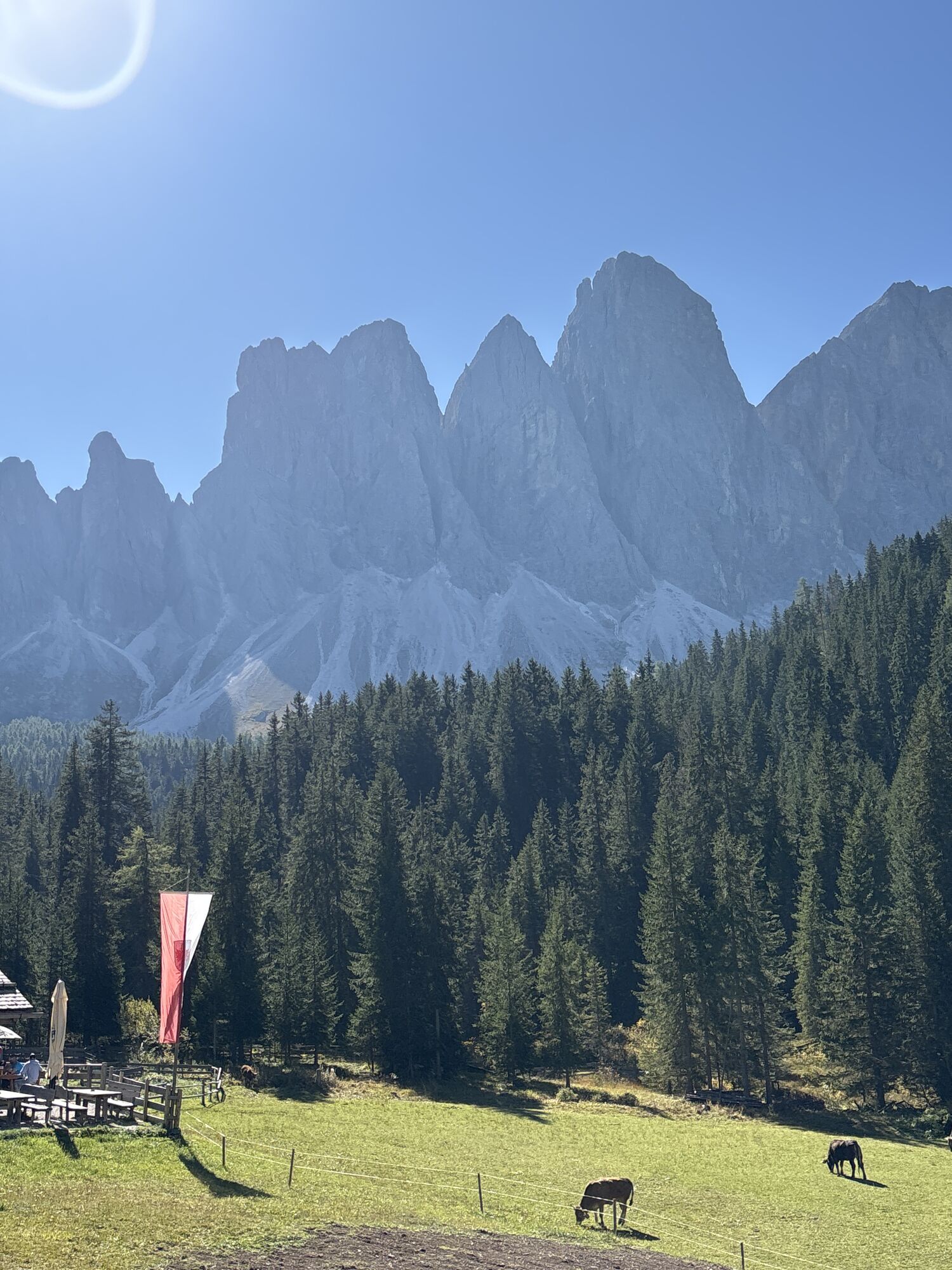
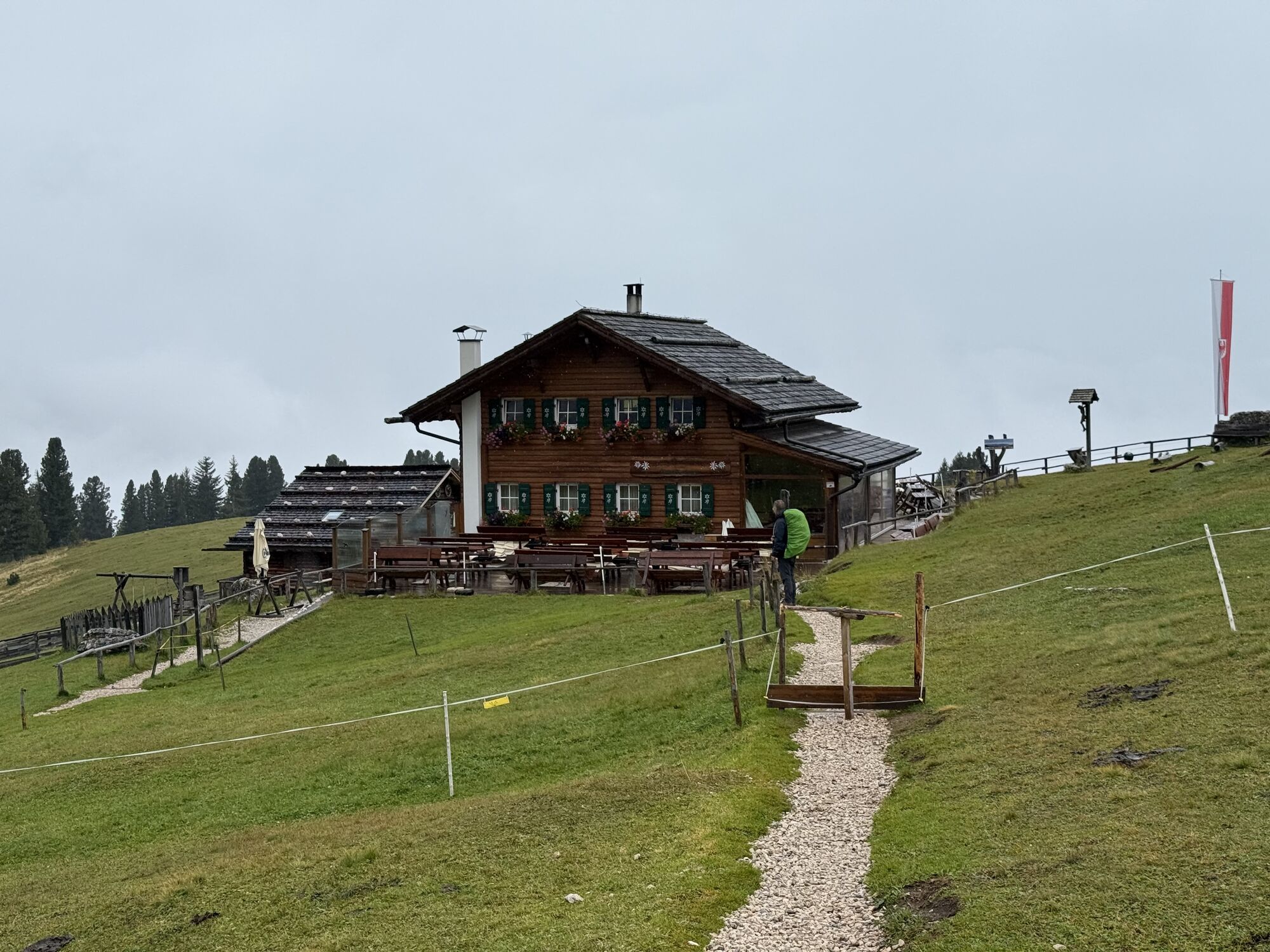
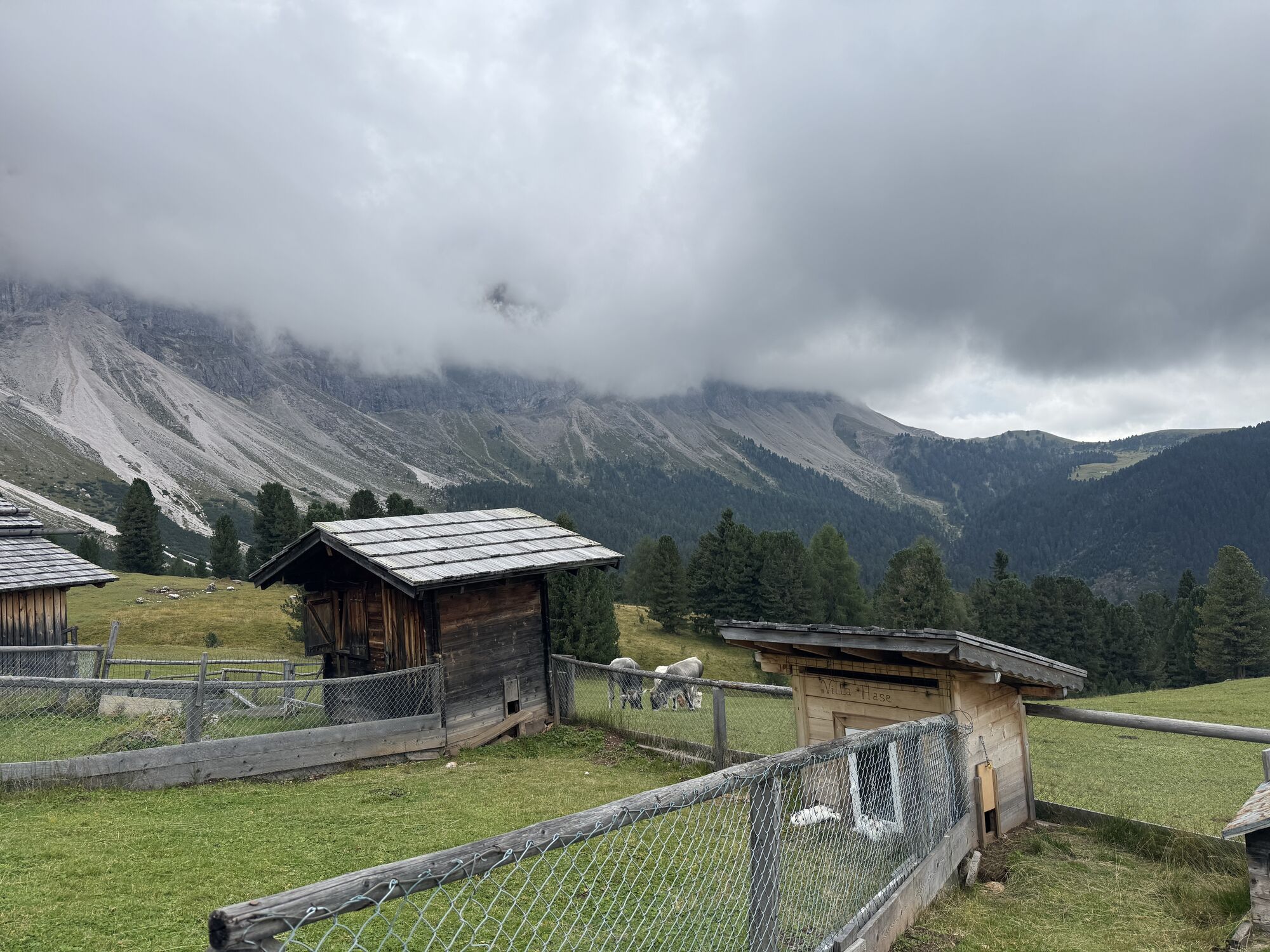
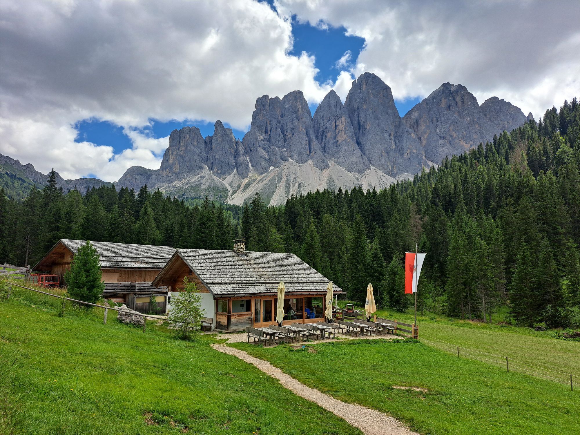
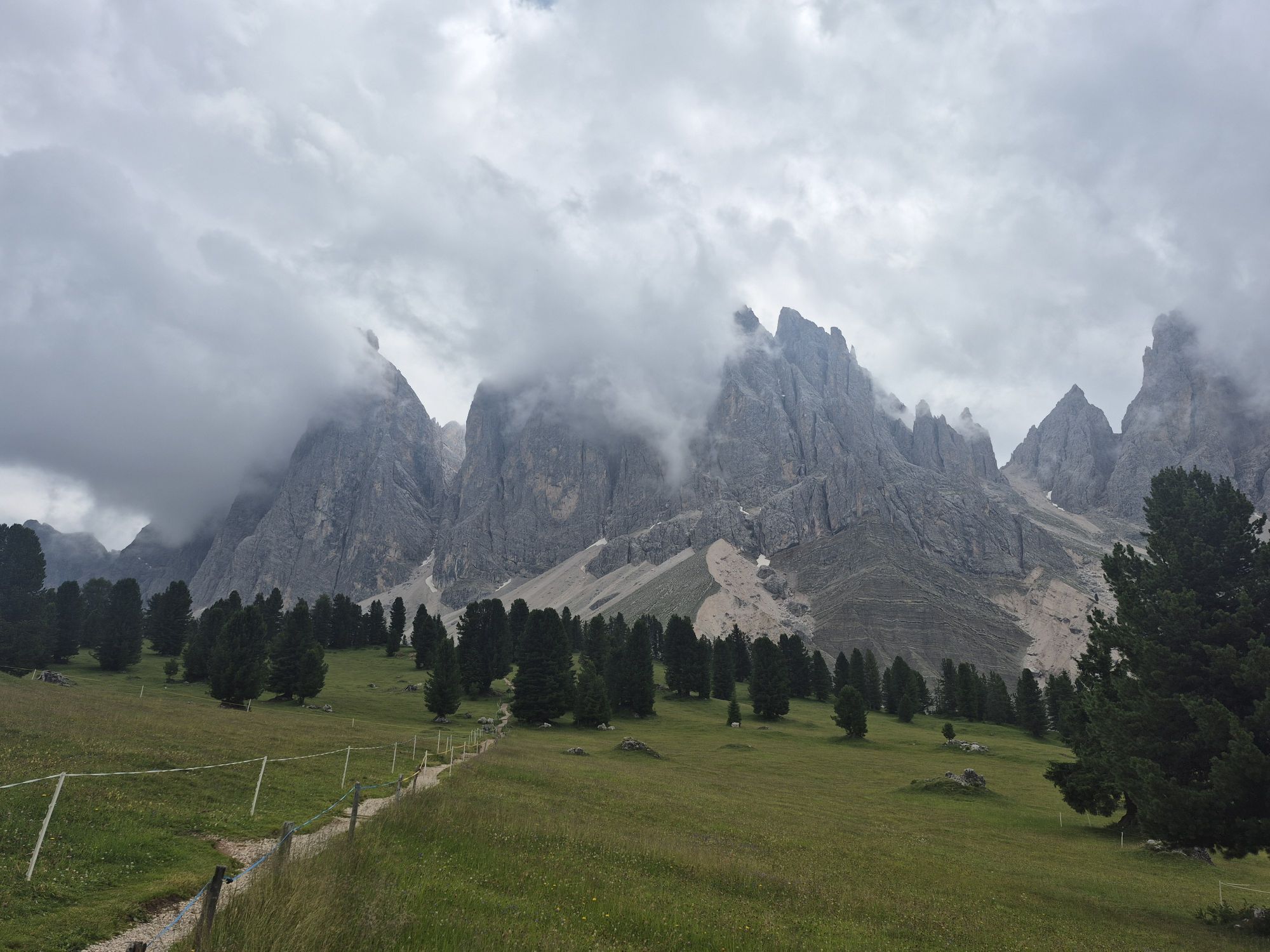
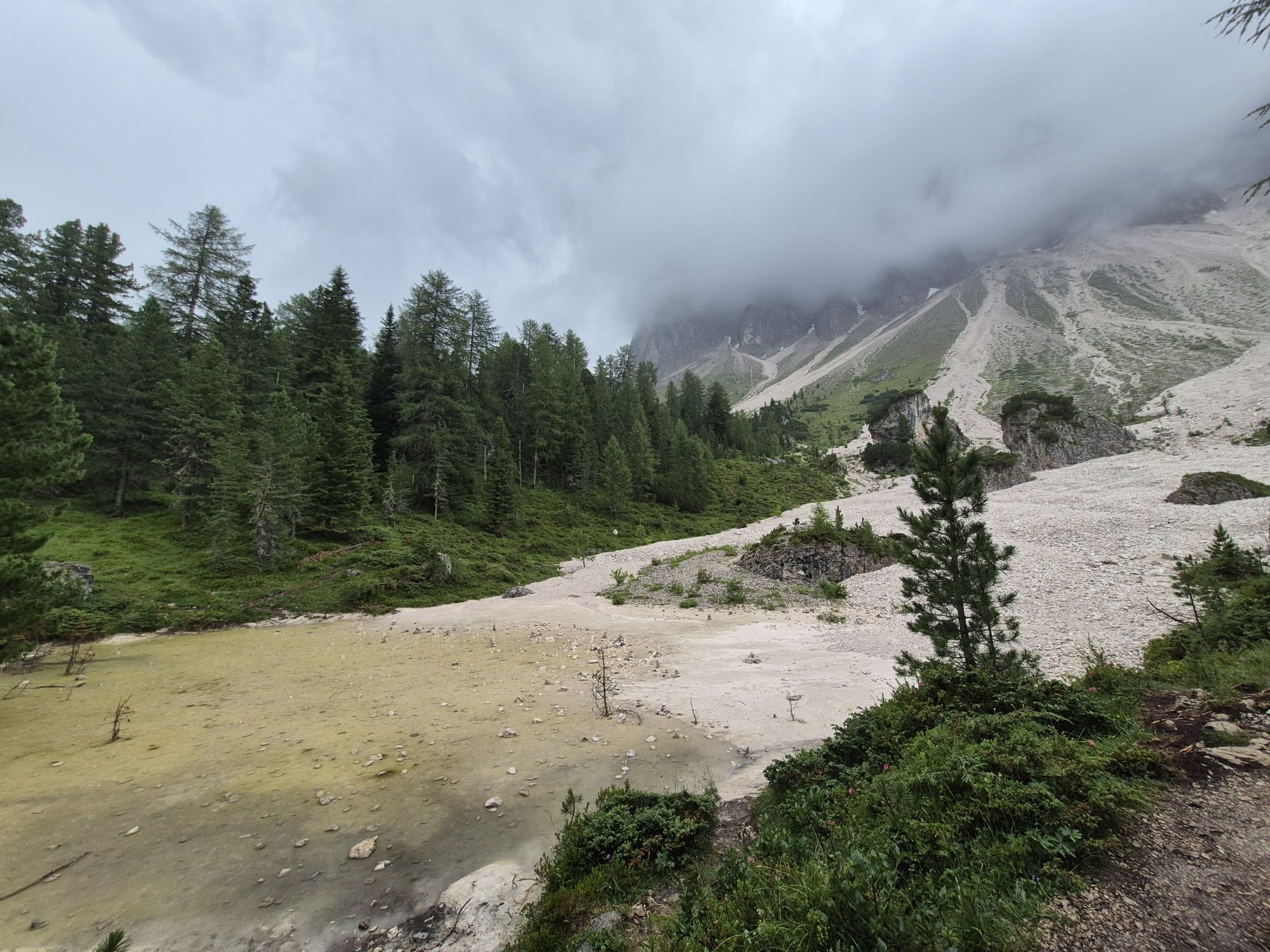
After passing the Adolf-Munkel memorial, the trail bears right to the Gschnagenhardtalm and Geisleralm mountain huts. Descend down through scenic pastures to the Gschnagenhardtalm (2,006 m) and to the Geisleralm (1,996 m).
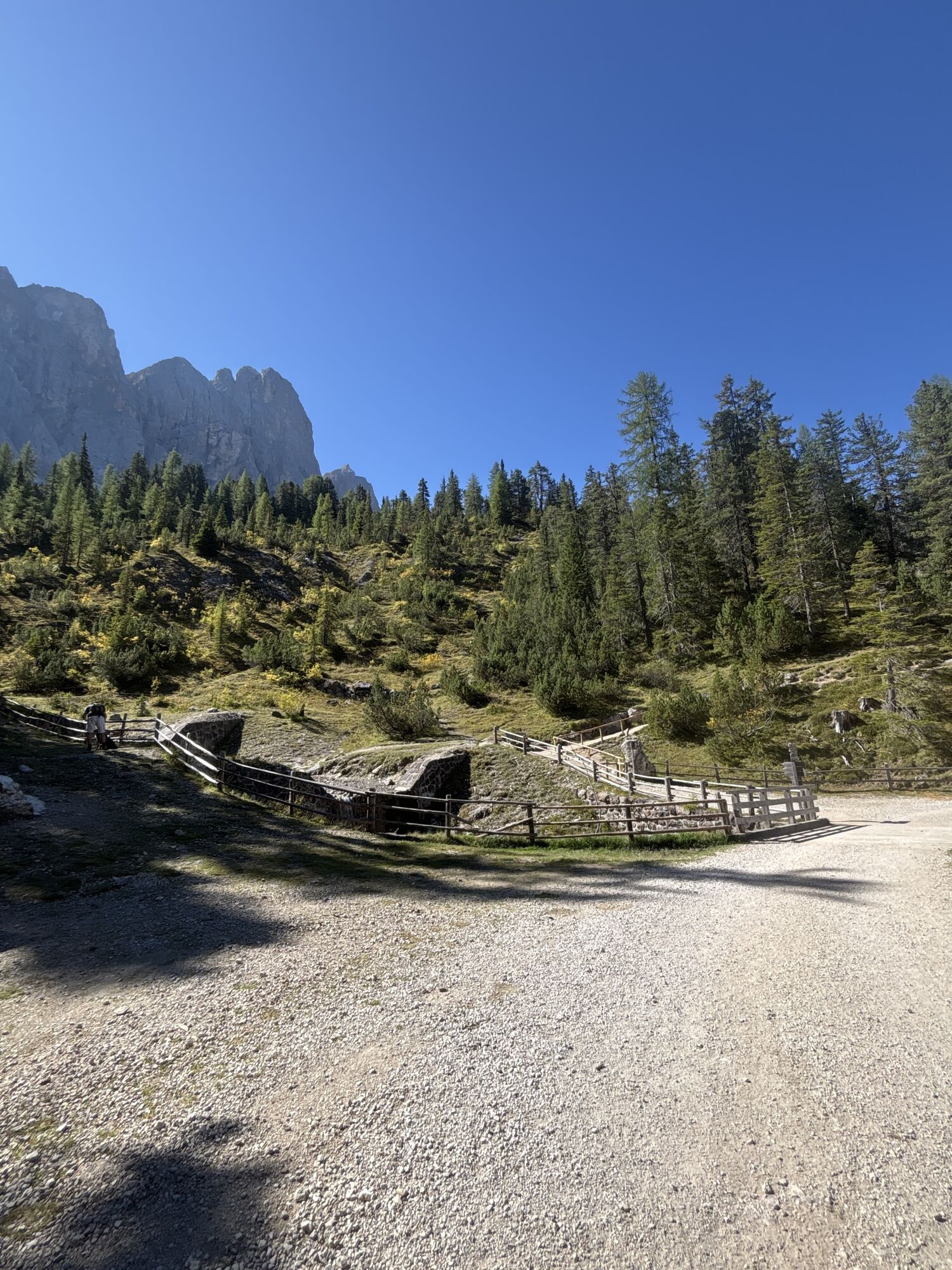
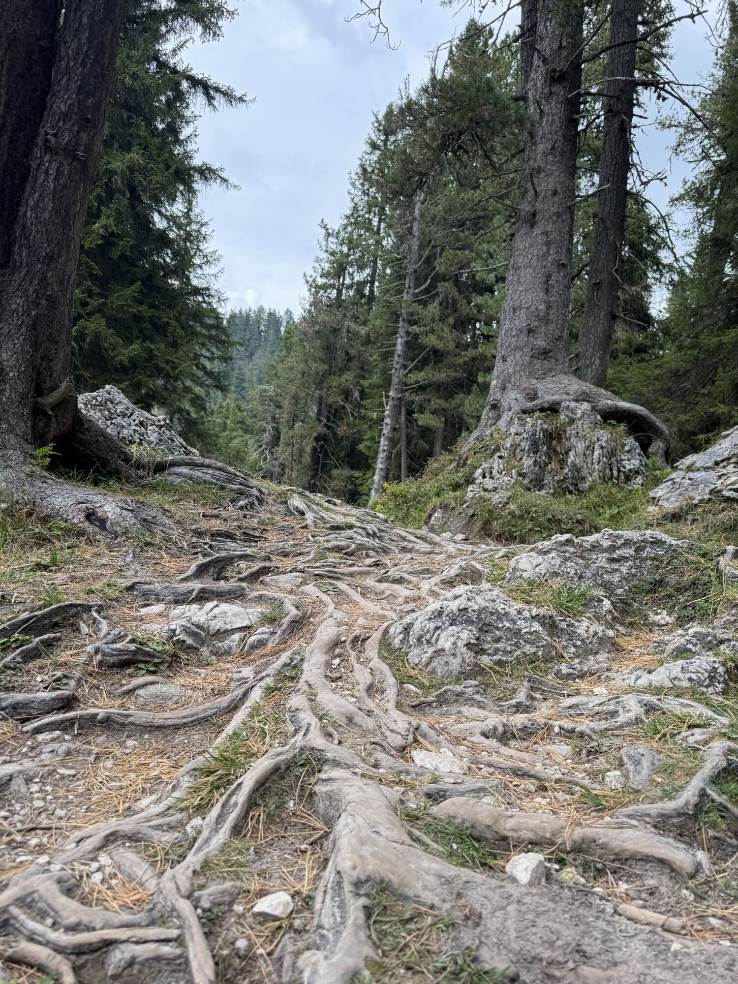
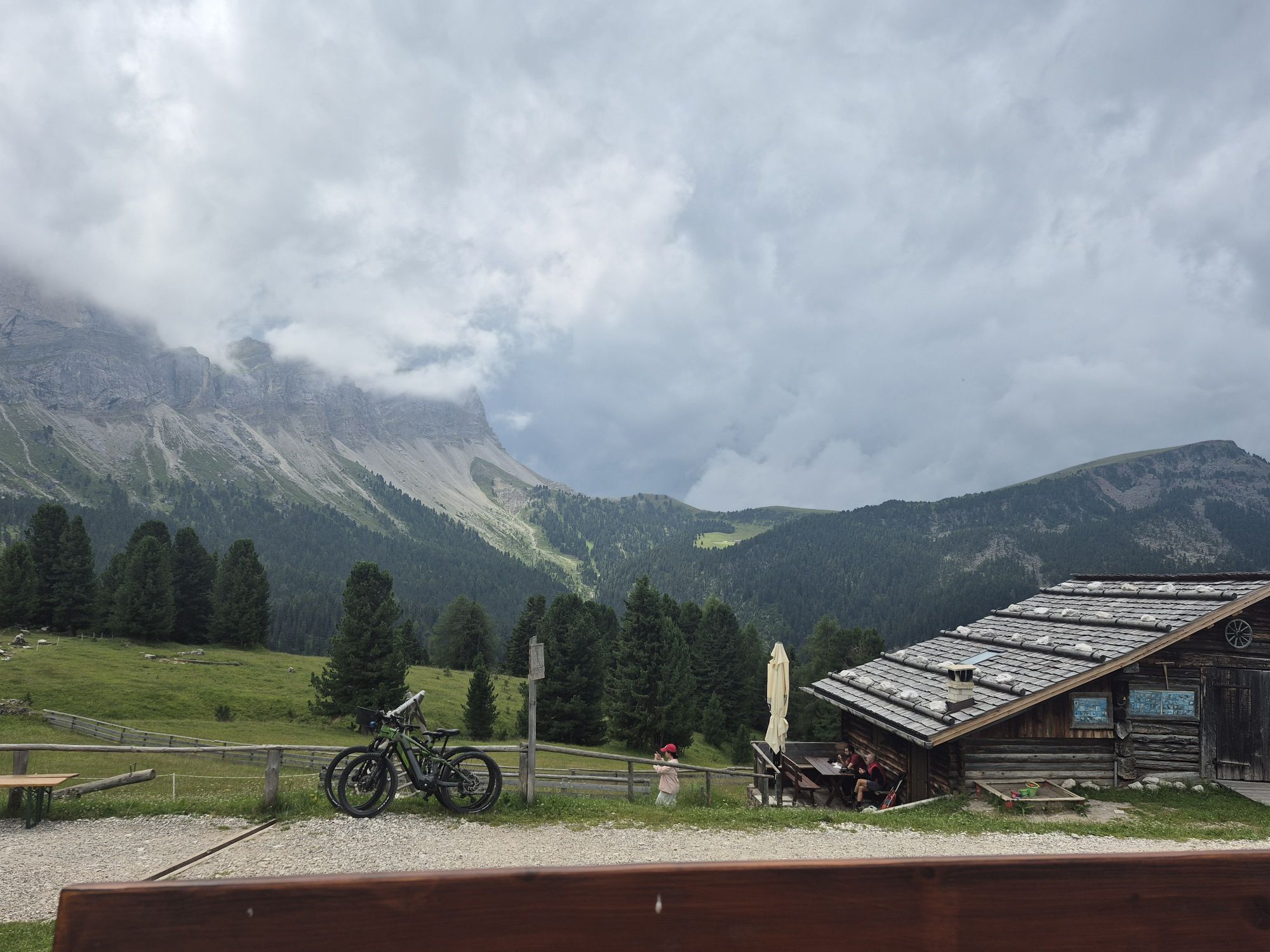
To return, follow trail no. 36 to Duslerhütte – Zans below the Geisleralm playground. The wide track leads gently downhill to the Dusleralm (1,782 m) past a fork to the right towards Zans. Shortly after, the trail continues along an almost flat forest path that leads back to the car park in Zans.

Da
Dejavnosti na poti
Villnöß, Trentino-Südtirol/Italien
20.05.2026 – Pohodništvo
Villnöß - Funes, Trentino-Alto Adige/Südtirol/Italia
01.05.2026 – PohodništvoFunes, Trentino-Alto Adige/Italia
23.02.2026 – PohodništvoVillnöß, Trentino-Südtirol/Italien
29.10.2025 – Pohodništvo
Villnöß, Trentino-Südtirol/Italien
08.10.2025 – Pohodništvo
Villnöß, Trentino-Südtirol/Italien
06.10.2025 – PohodništvoGeislerspitzen
29.09.2025 – PohodništvoVillnöß, Trentino-Südtirol/Italien
19.09.2025 – PohodništvoVillnöß, Trentino-Südtirol/Italien
07.09.2025 – PohodništvoFunes, Trentino-Alto Adige/Italia
13.08.2025 – Pohodništvo
Villnöß - Funes, Trentino – Alto Adige/Südtirol/Italy
06.07.2025 – Pohodništvo
Priljubljeni izleti v okolici
- 4,6
Pordoi Pass - Sass Pordoi - Forcella Pordoi - Piz Boè - Boè Refuge - Forcella Pordoi - Pordoi Pass
težkoPohodništvo 8,39 km - 4,9
Lang- und Plattkofel Umrundung
srednjaPohodništvo 17,5 km - 4,8
Langkofel-Umrundung
srednjaPohodništvo 12,9 km - 4,6
Puflatsch Umrundung
svetlobaPohodništvo 8,37 km - 5,0
Langkofel Klettersteig/Ferrata Furcela de Saslonch
težkoVia ferrata 7,07 km - 5,0
Um den Langkofel
srednjaPohodništvo 9,76 km - 4,4
Three summits tour on the Plose above Brixen
srednjaPohodništvo 12,8 km - 3,8
Der Friedrich-August-Weg
srednjaPohodništvo 10,4 km - 4,4
Dolomiten Sellagruppe, Alb. Col di Lana, Sas de Pordoi, Piz Boé retour 22.06.2016
srednjaPohodništvo 5 km - 4,3
Seceda und Regensburger Hütte
srednjaPohodništvo 14,1 km
Pohodništvo in sledenje


Ne zamudite ponudb in navdiha za naslednje počitnice
Vaš e-poštni naslov je bil dodan na poštni seznam.