




Cammino dei sette Laghi - Valle dei Laghi

Stopnja težavnosti: T2
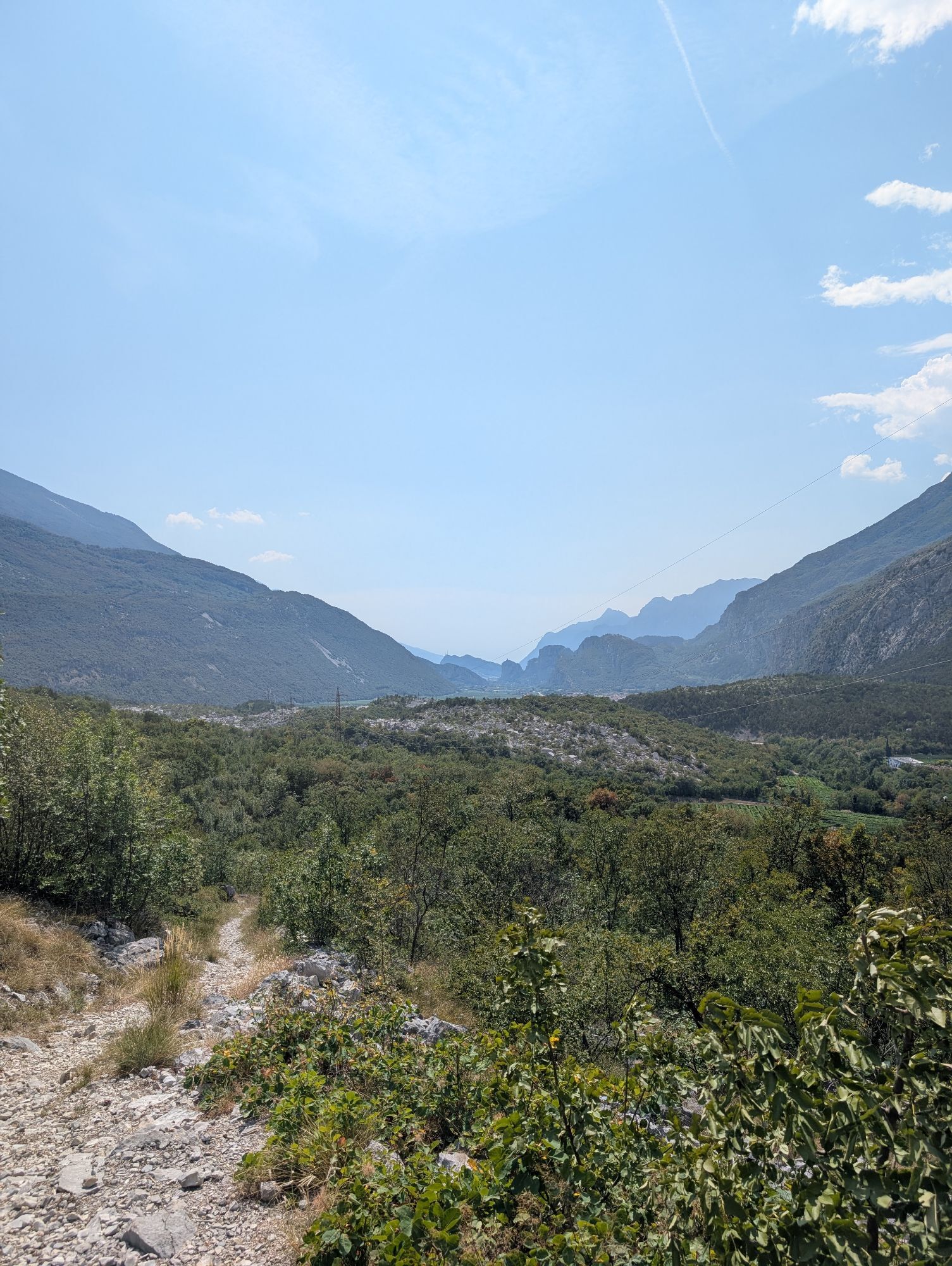
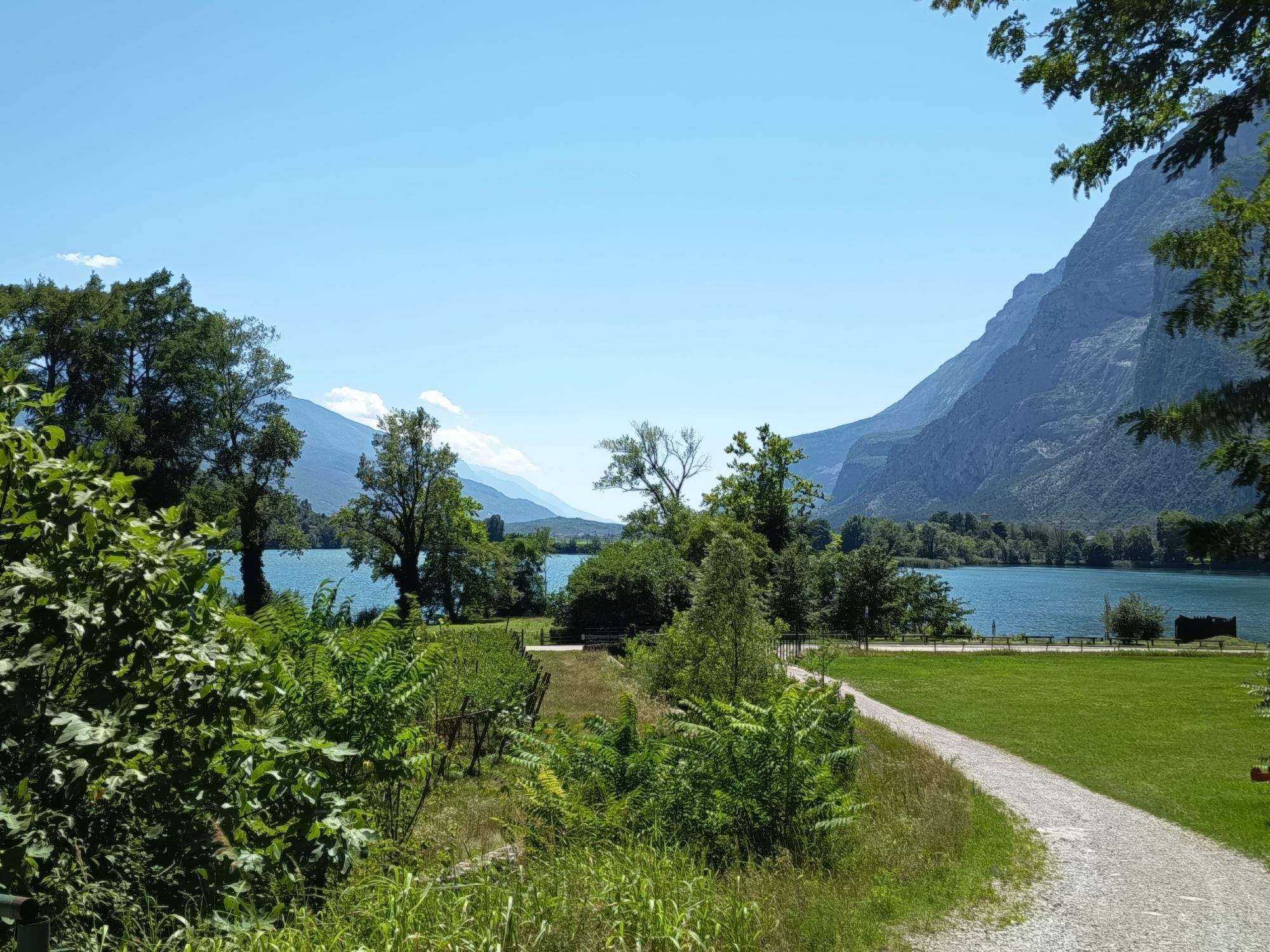
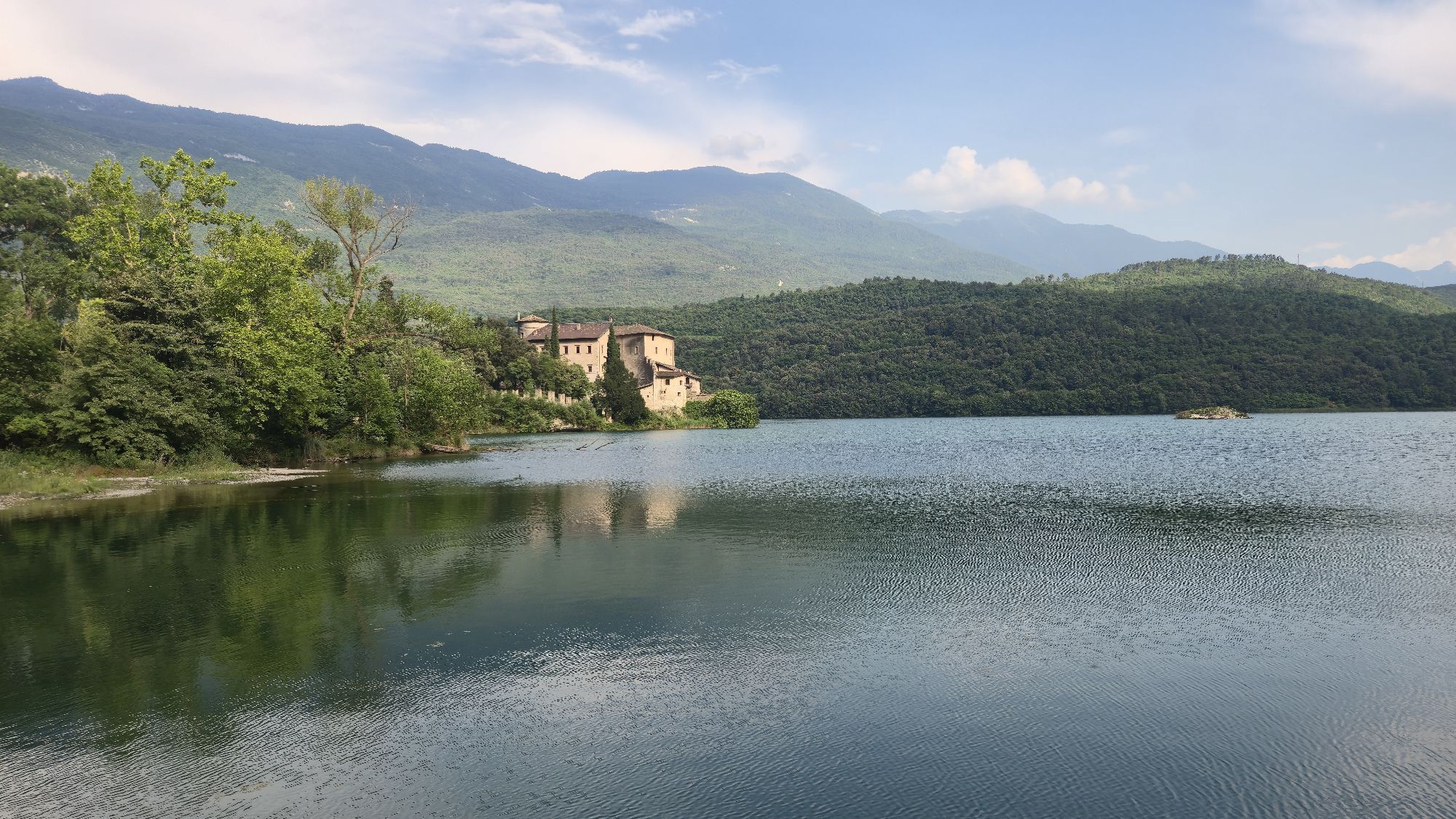
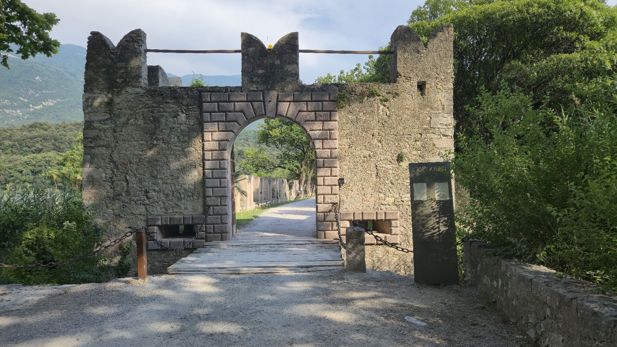
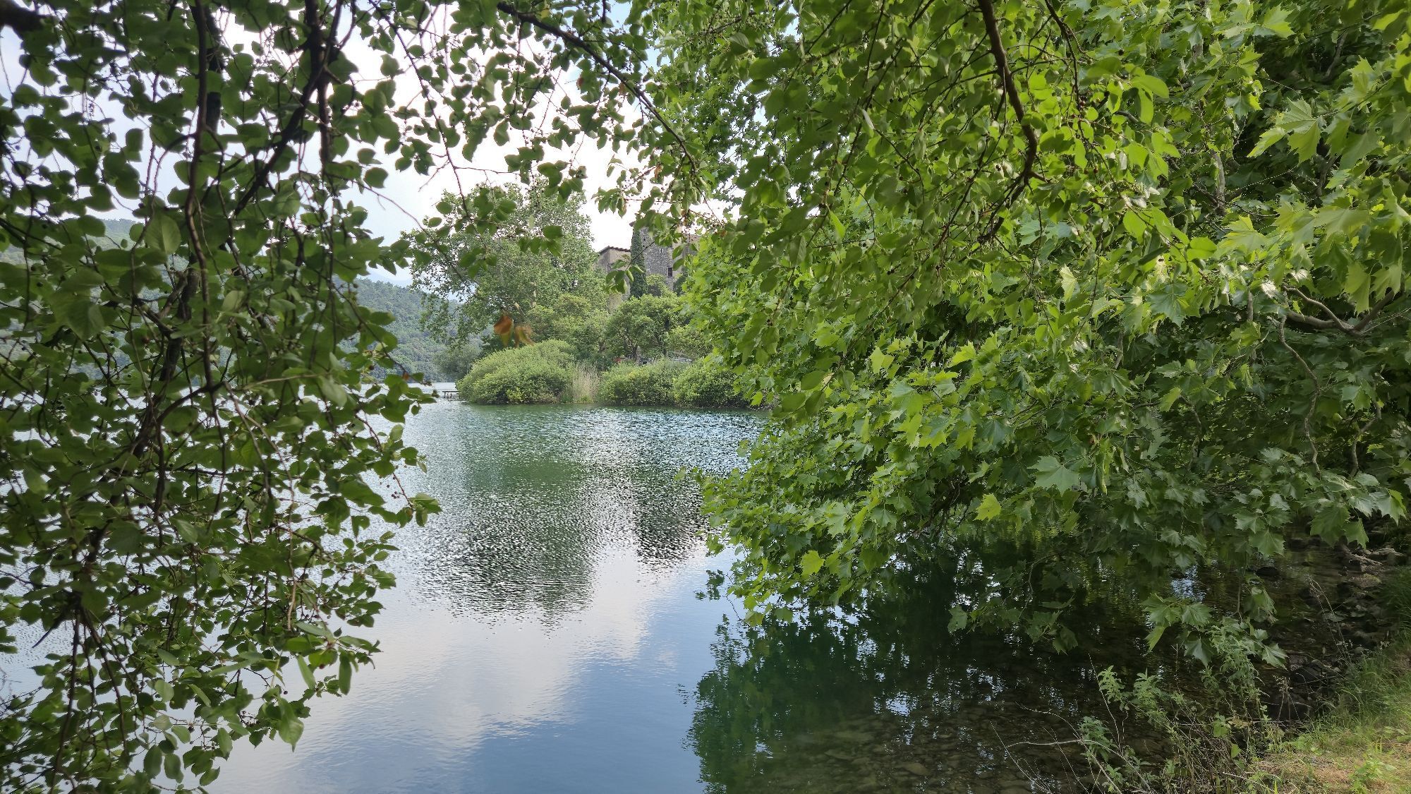
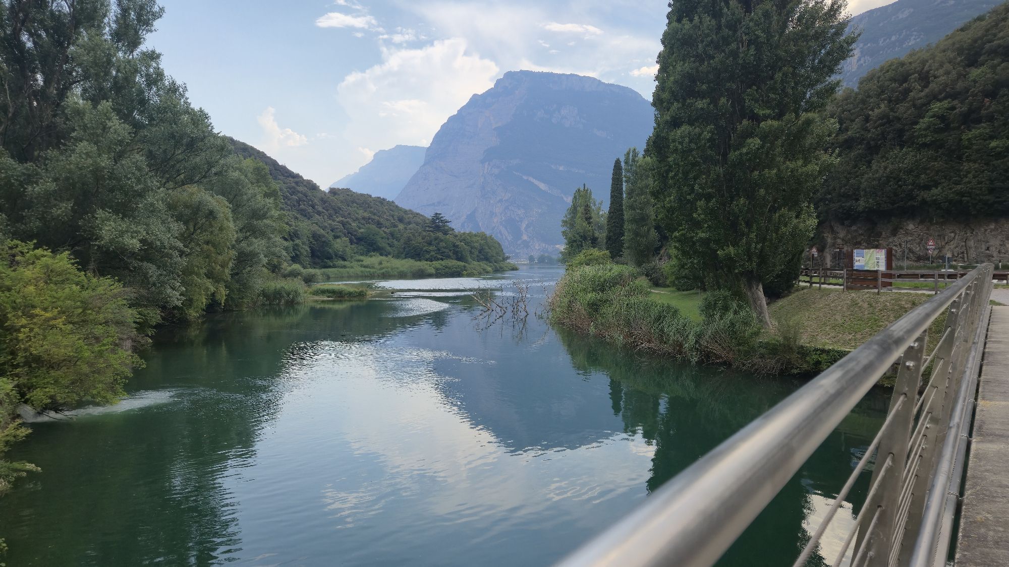
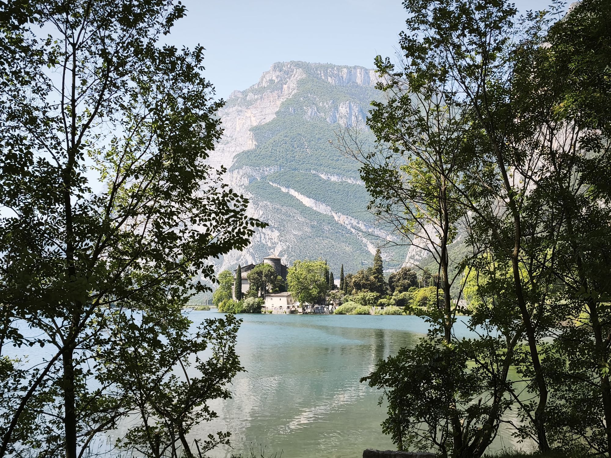
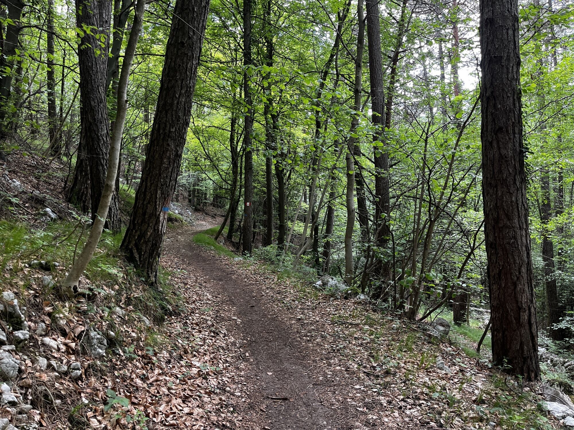
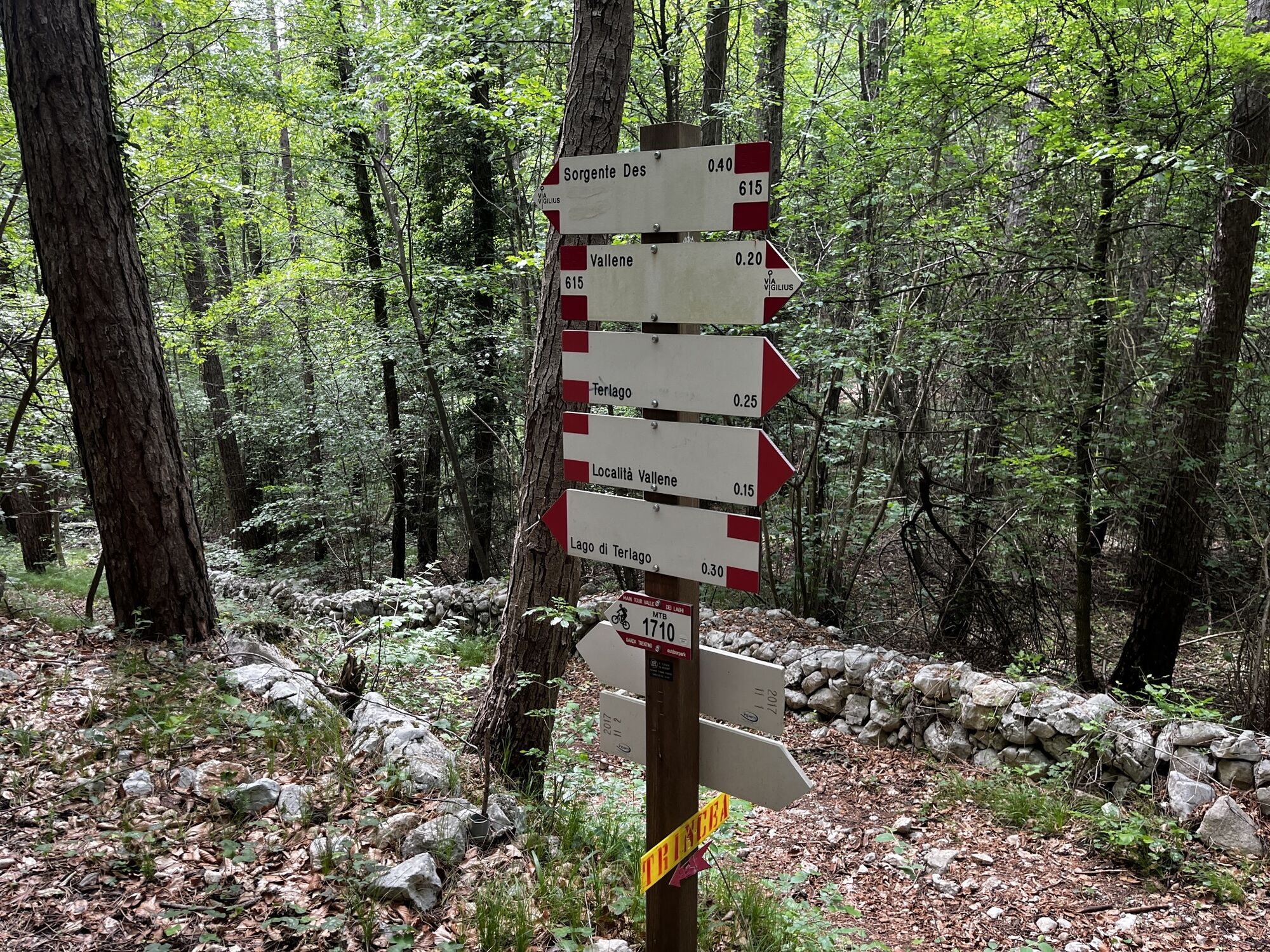
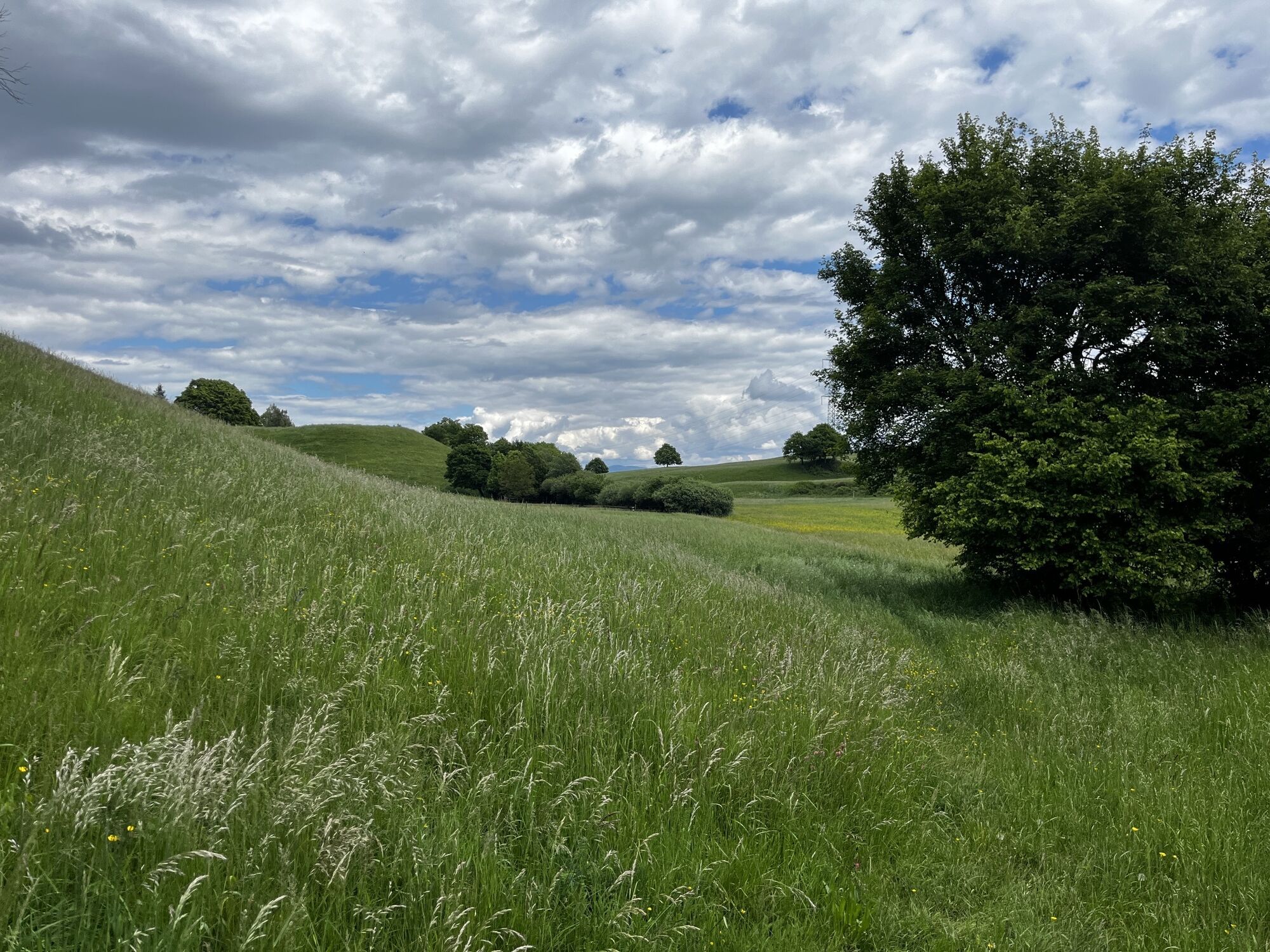
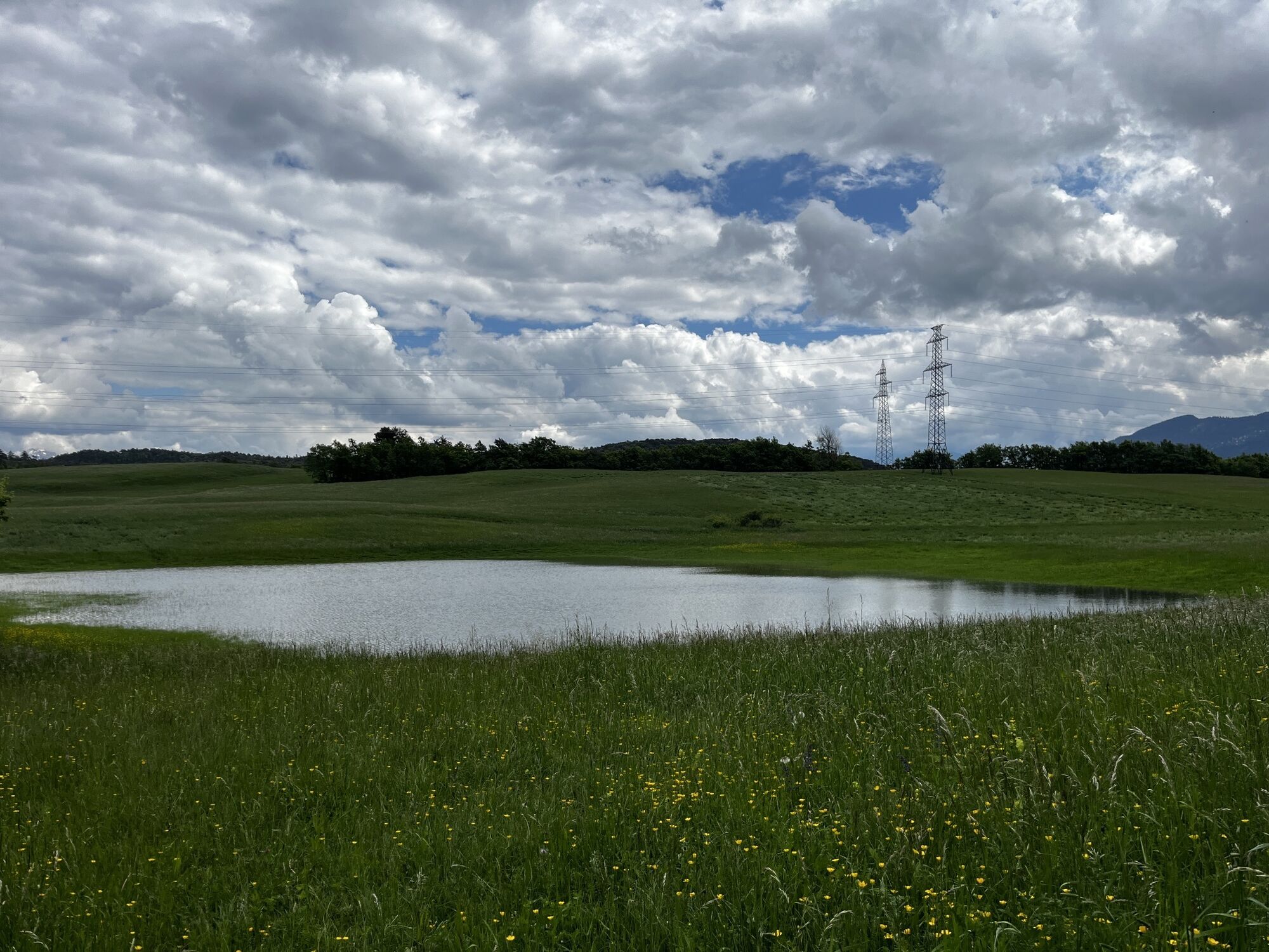
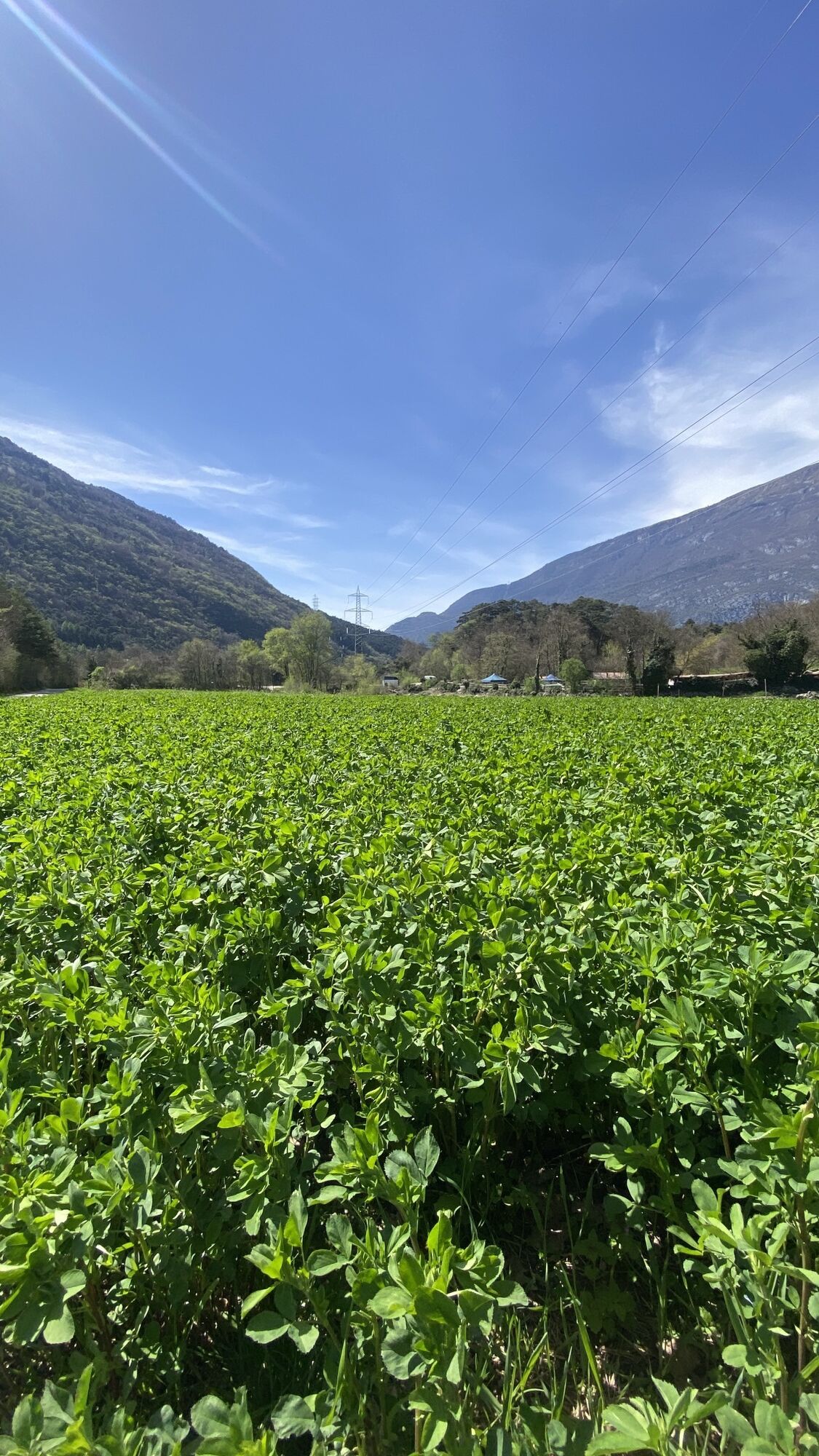
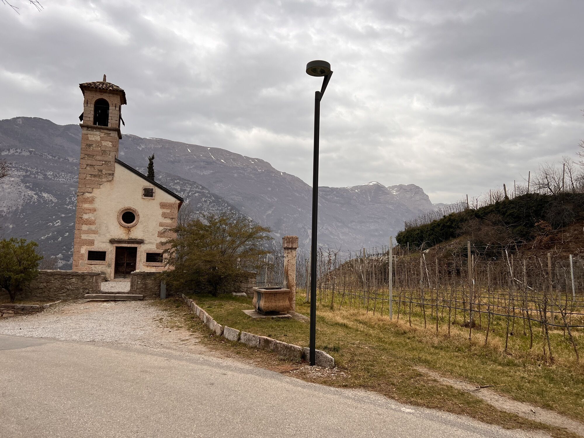
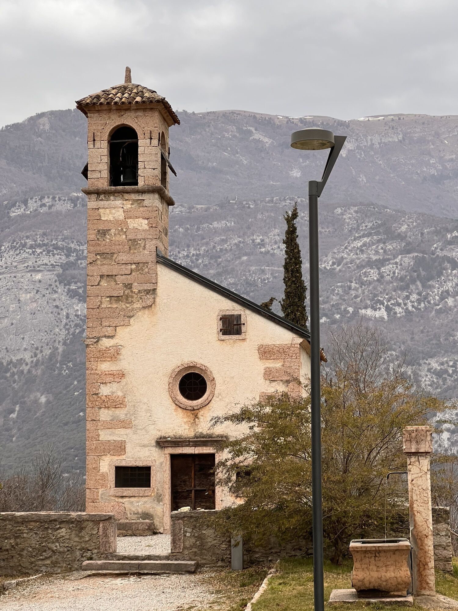
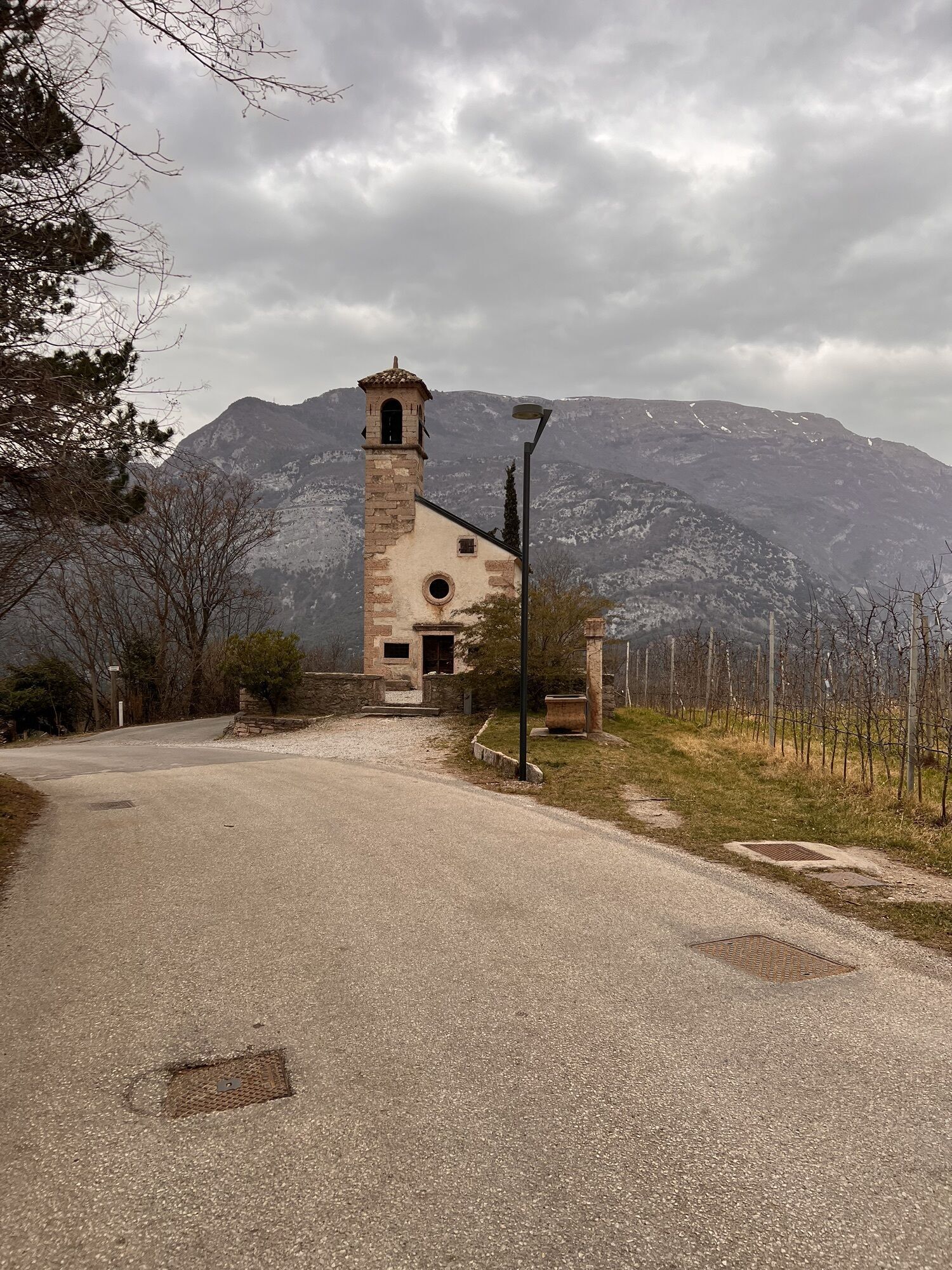
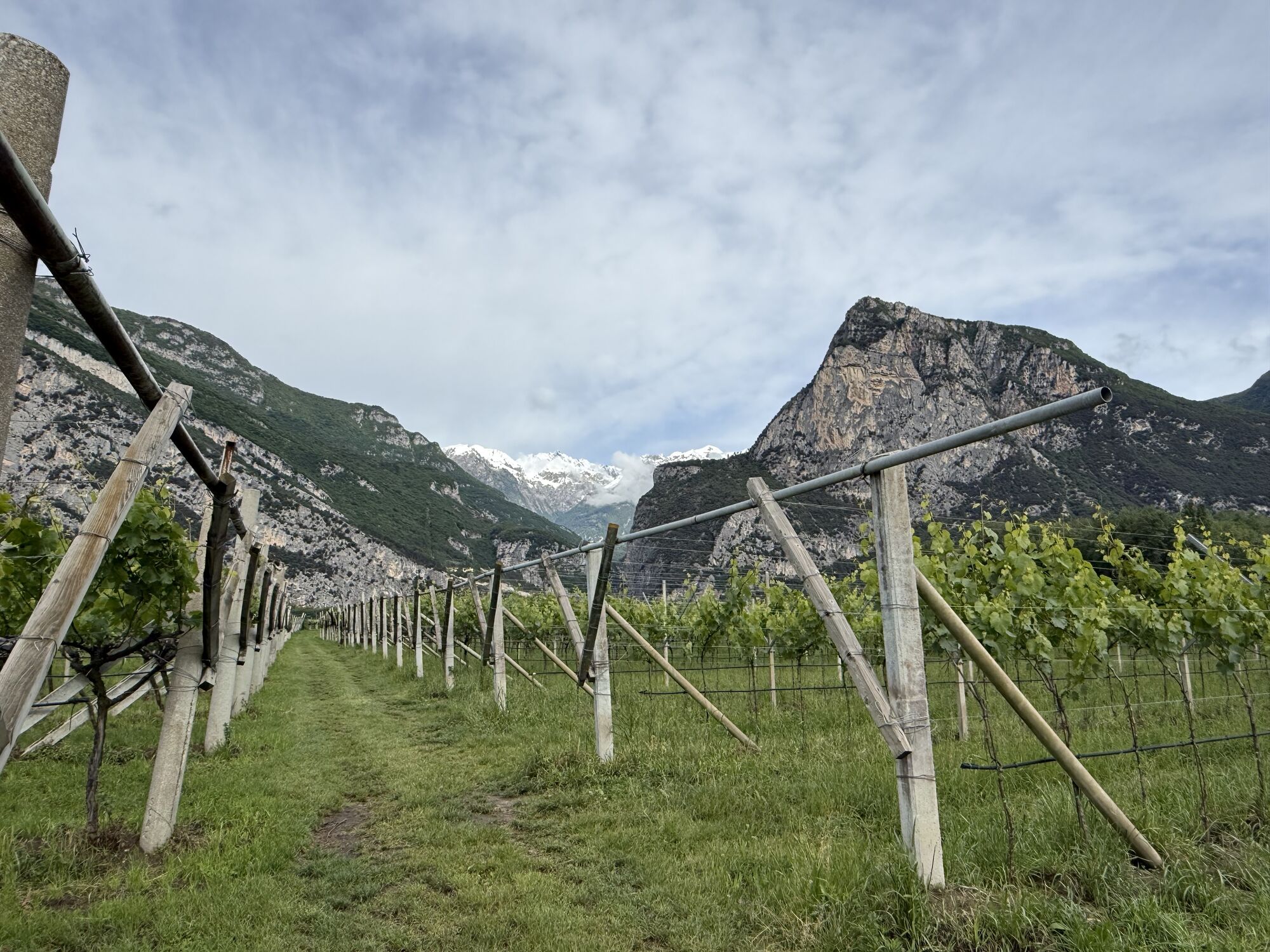
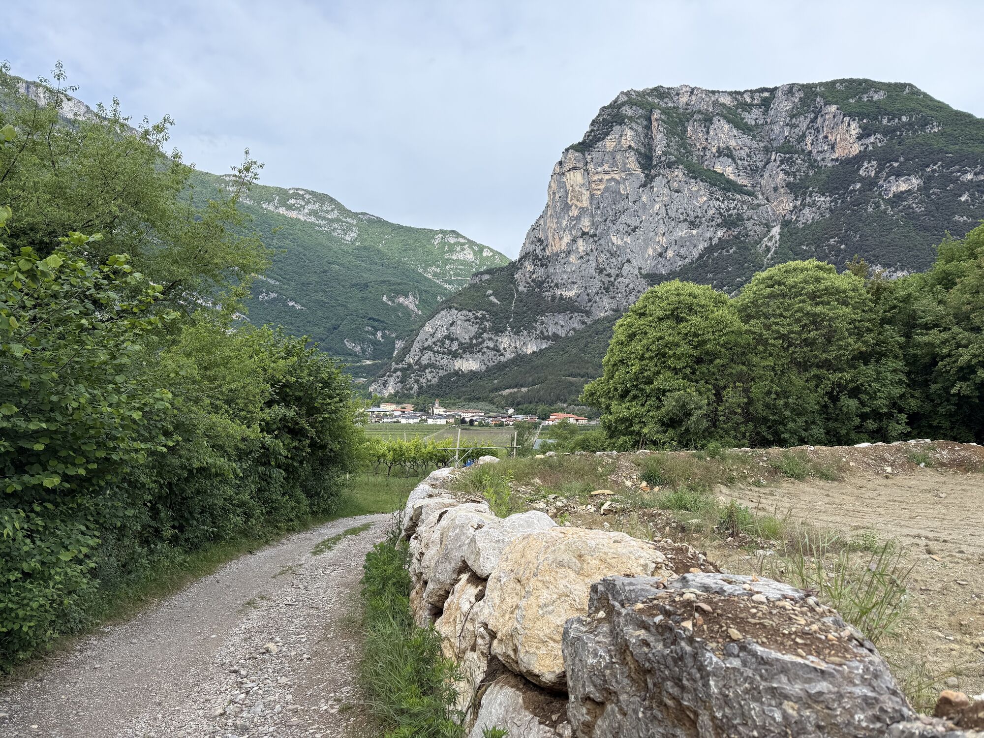
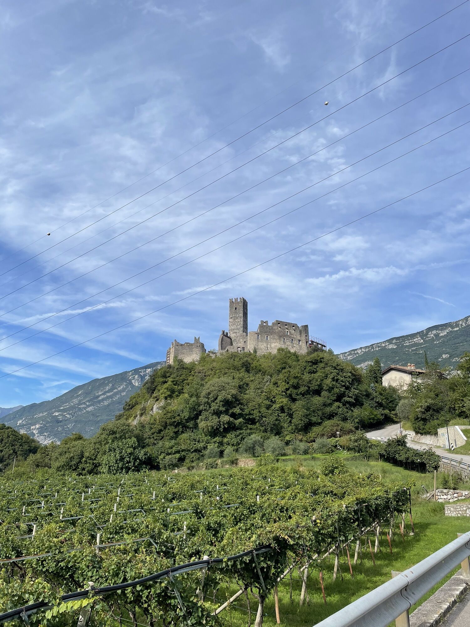
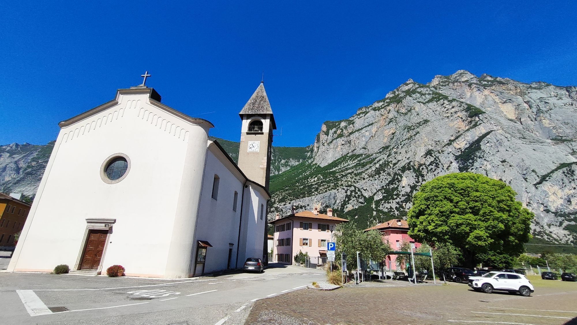
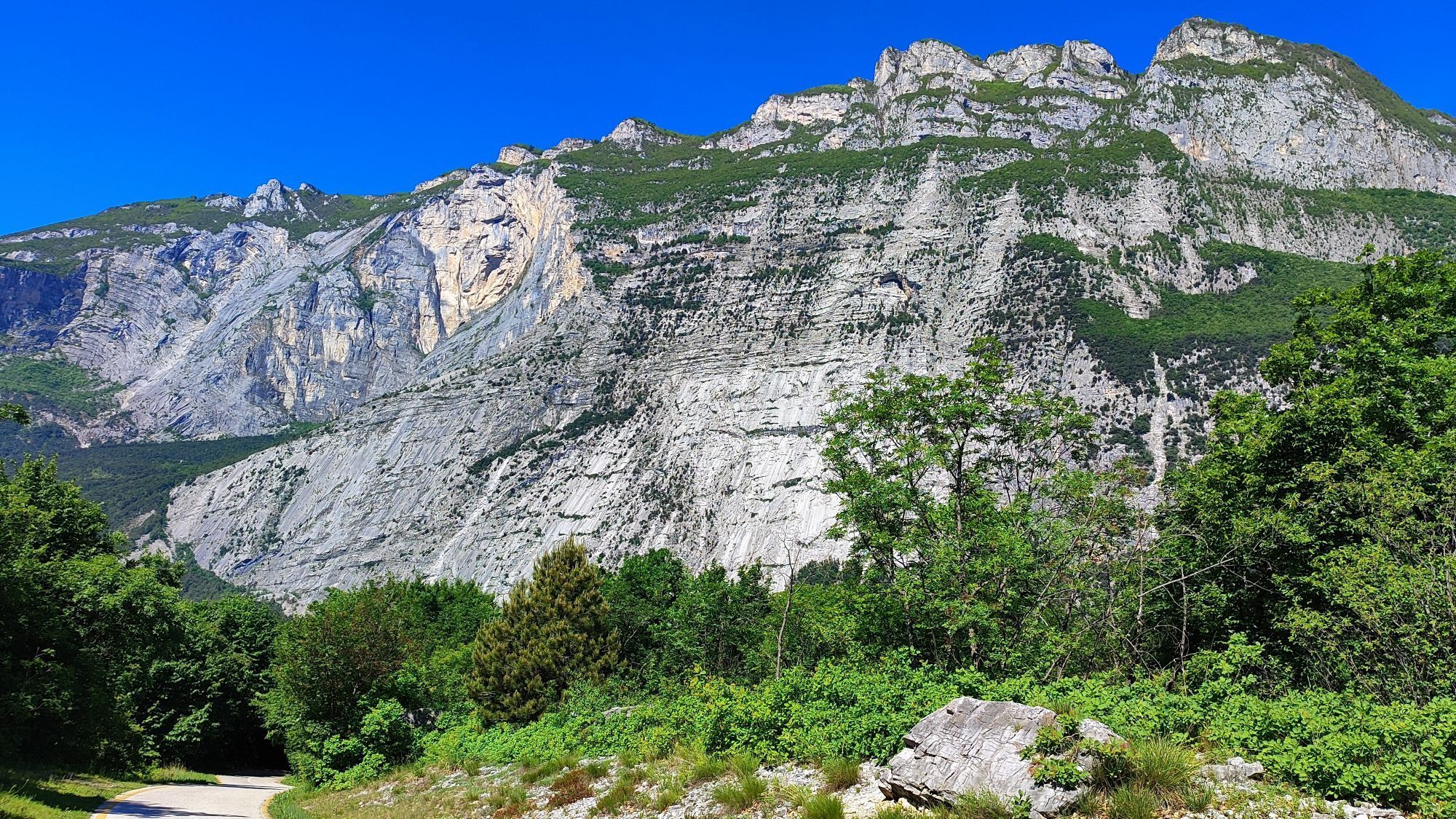
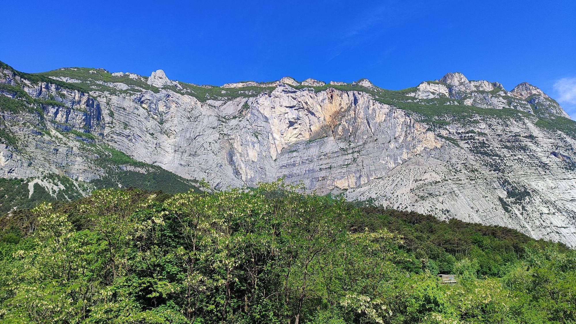
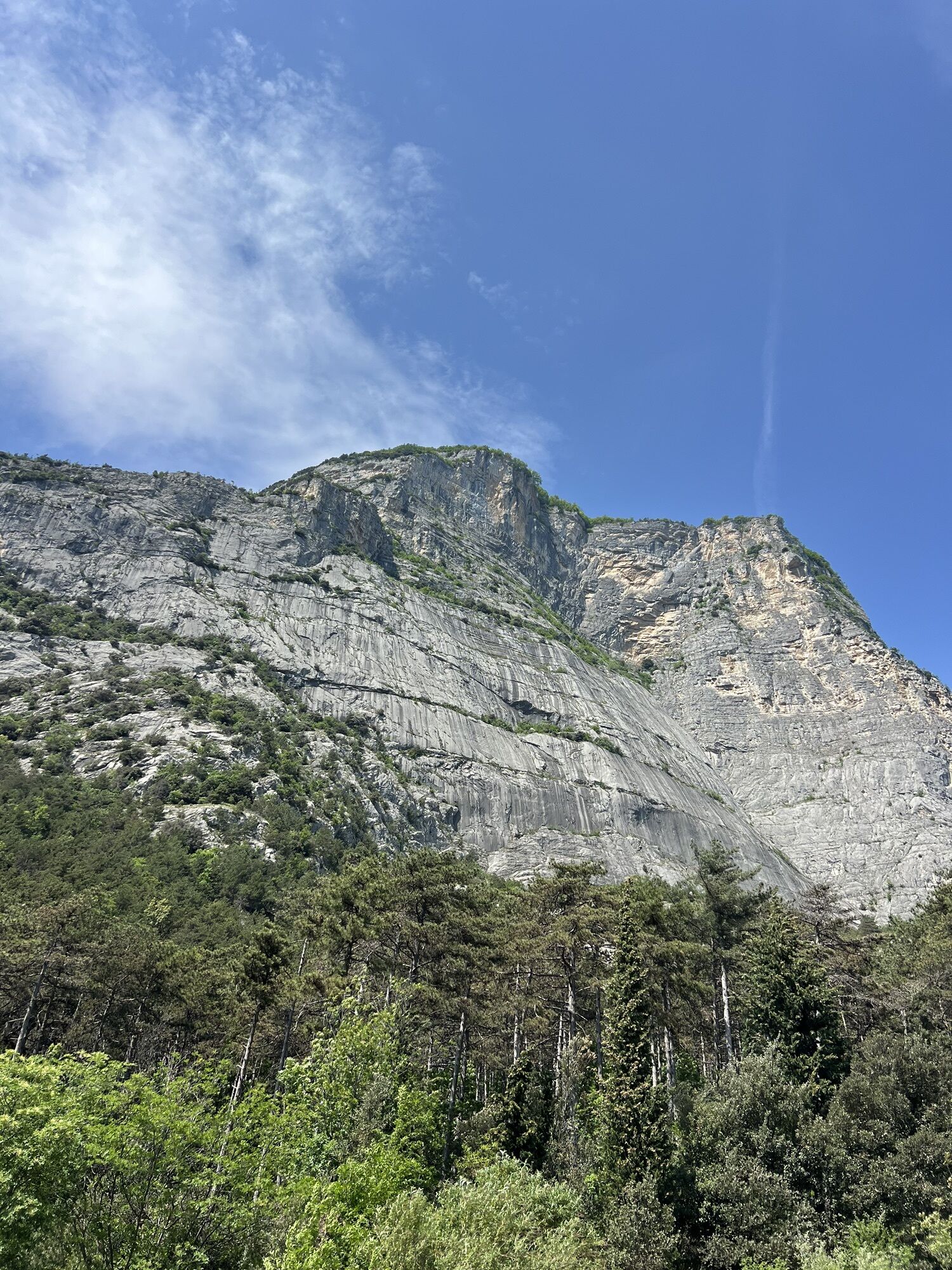
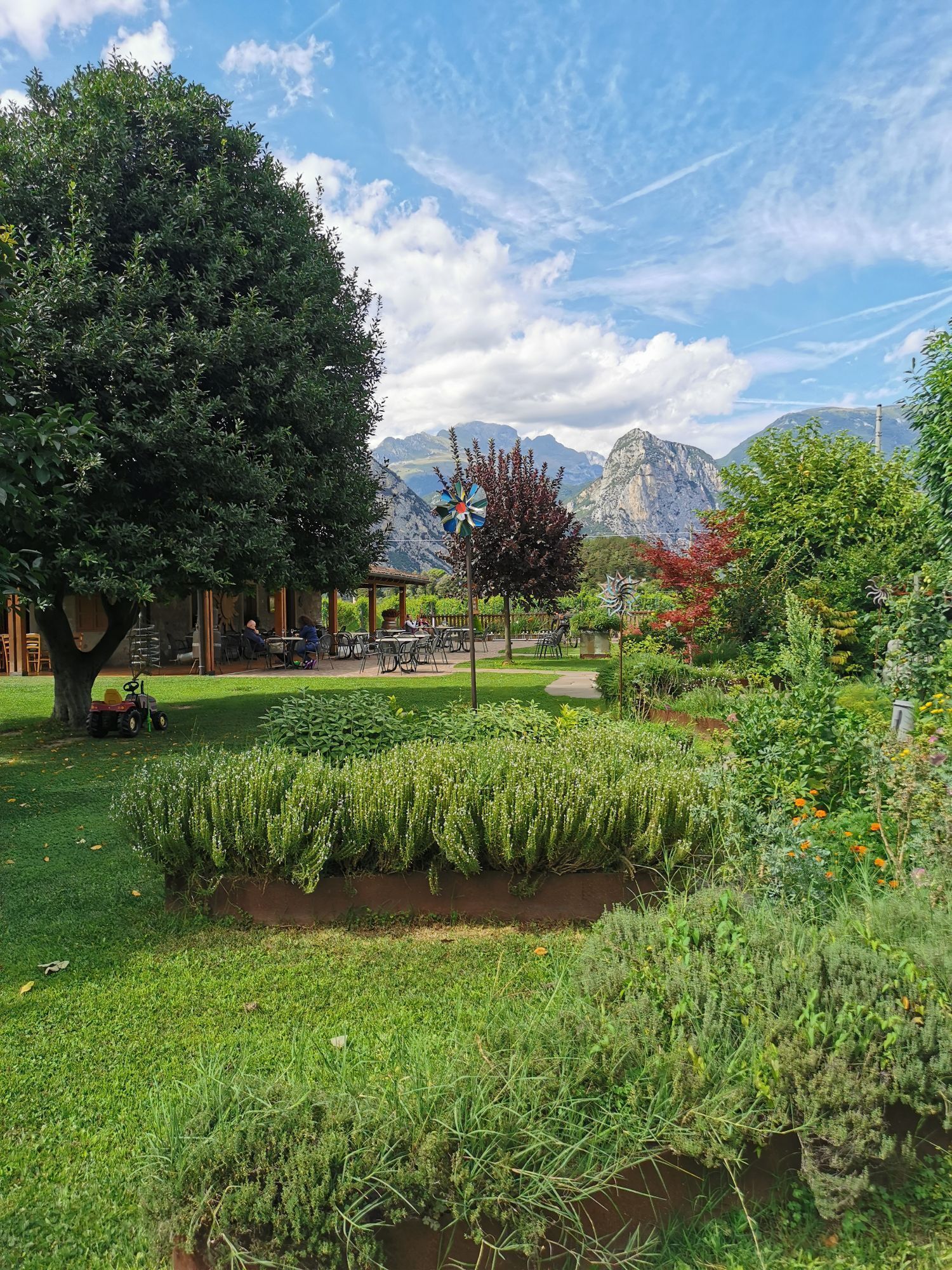
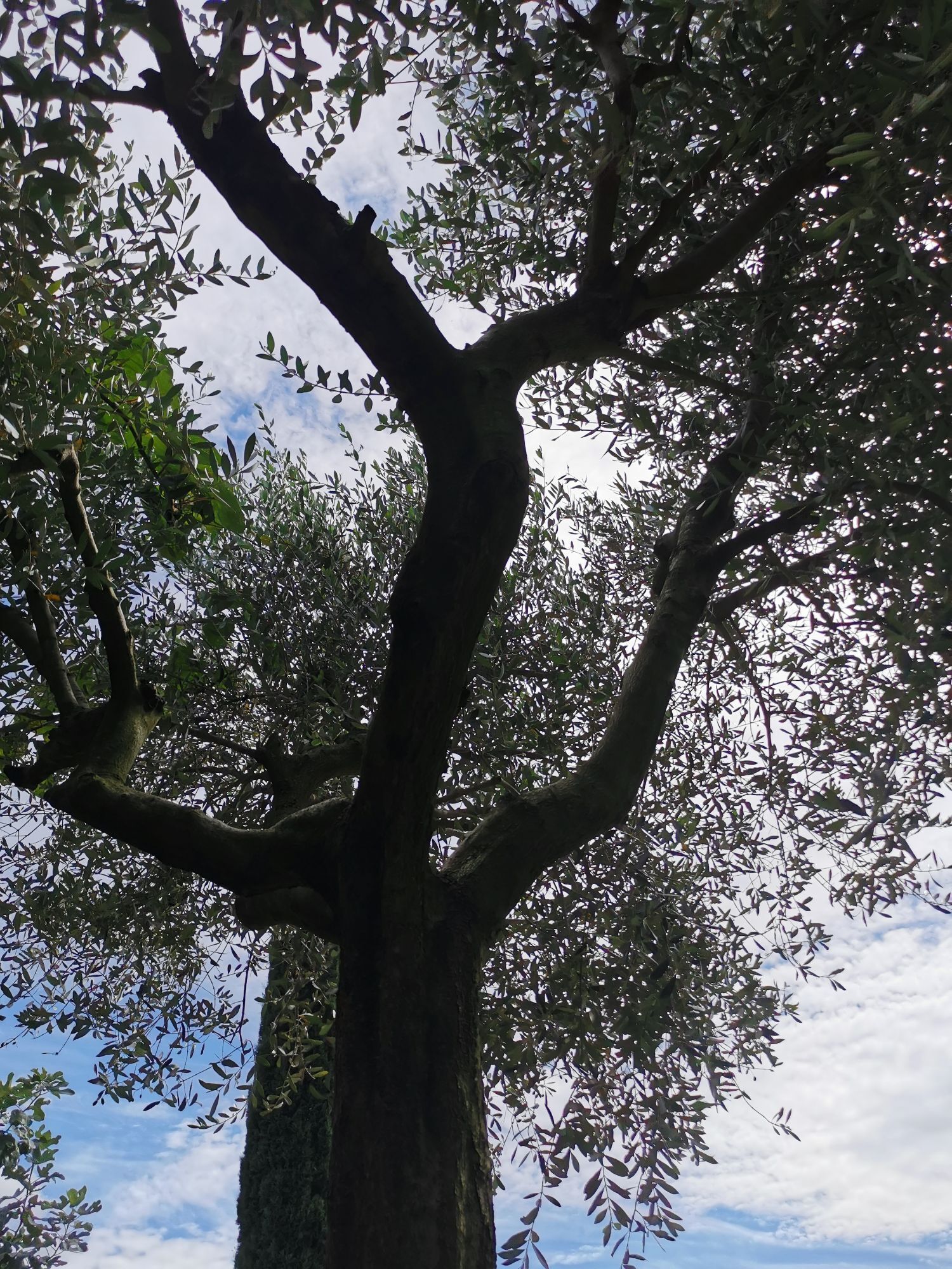
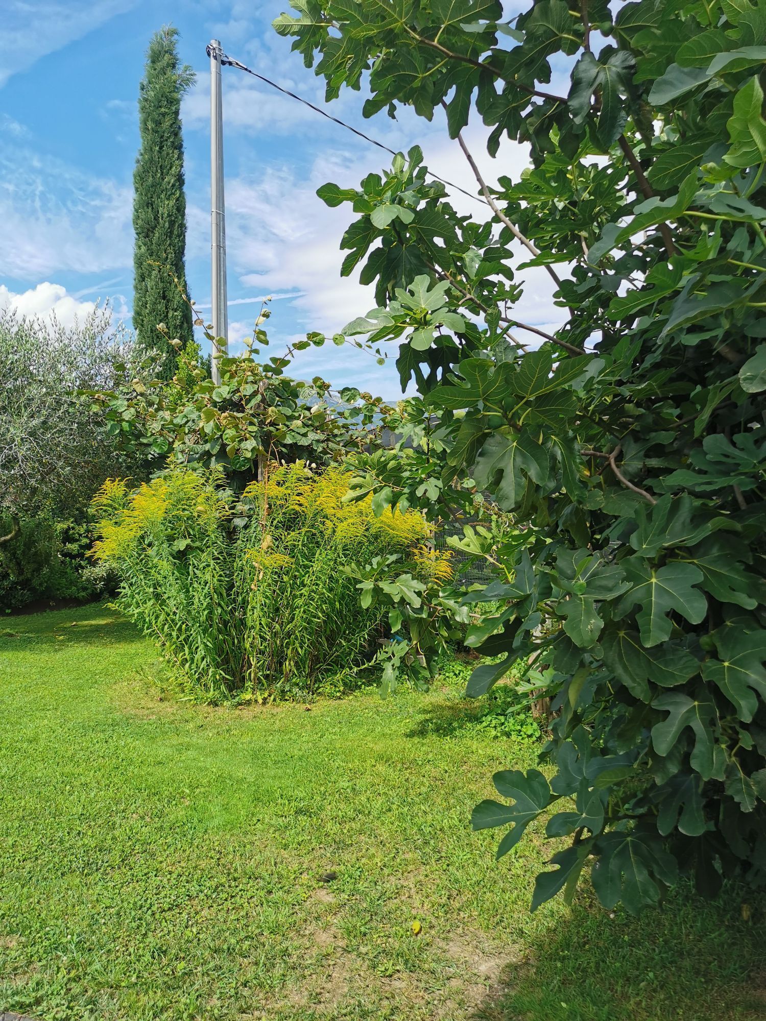
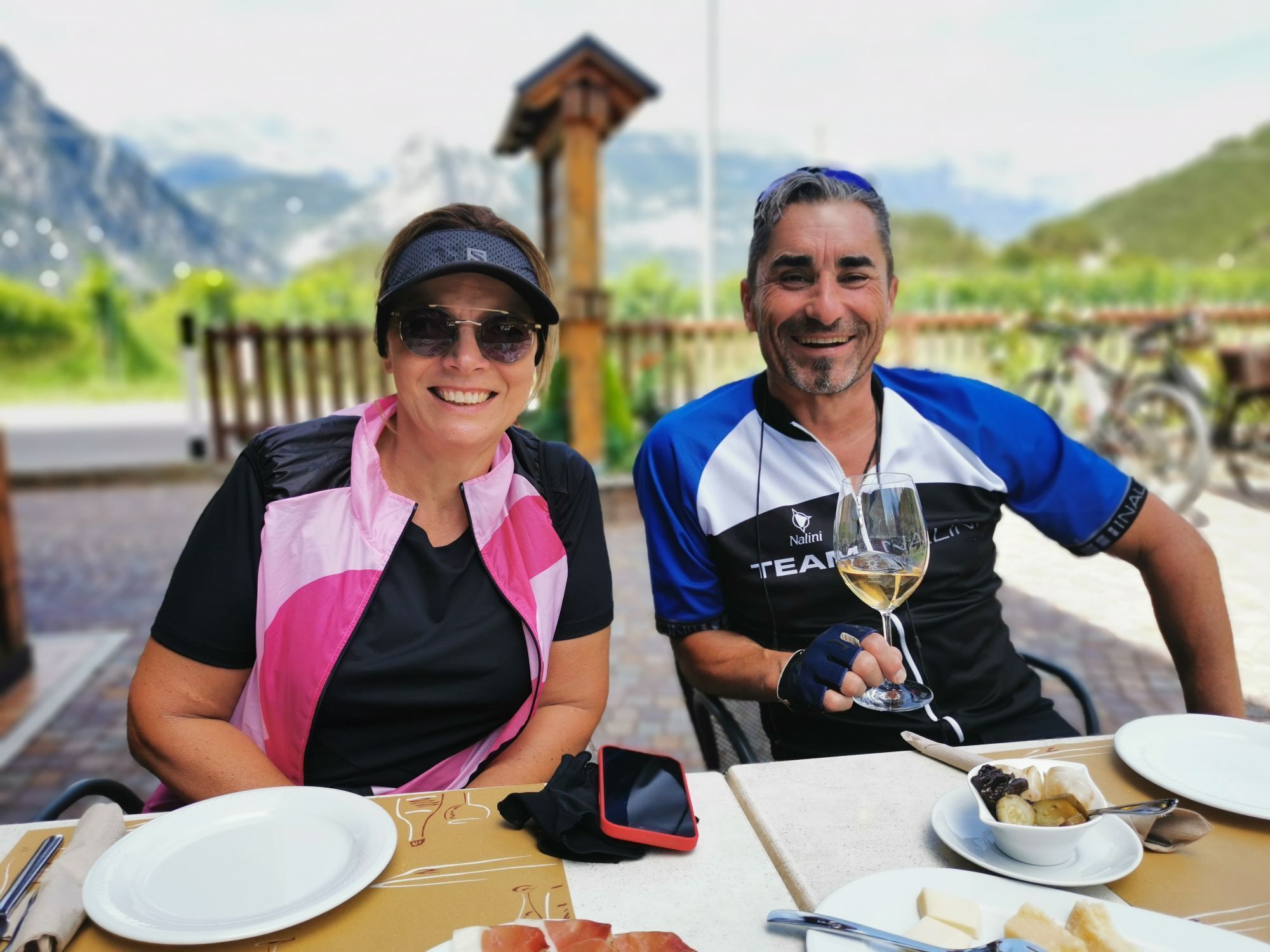
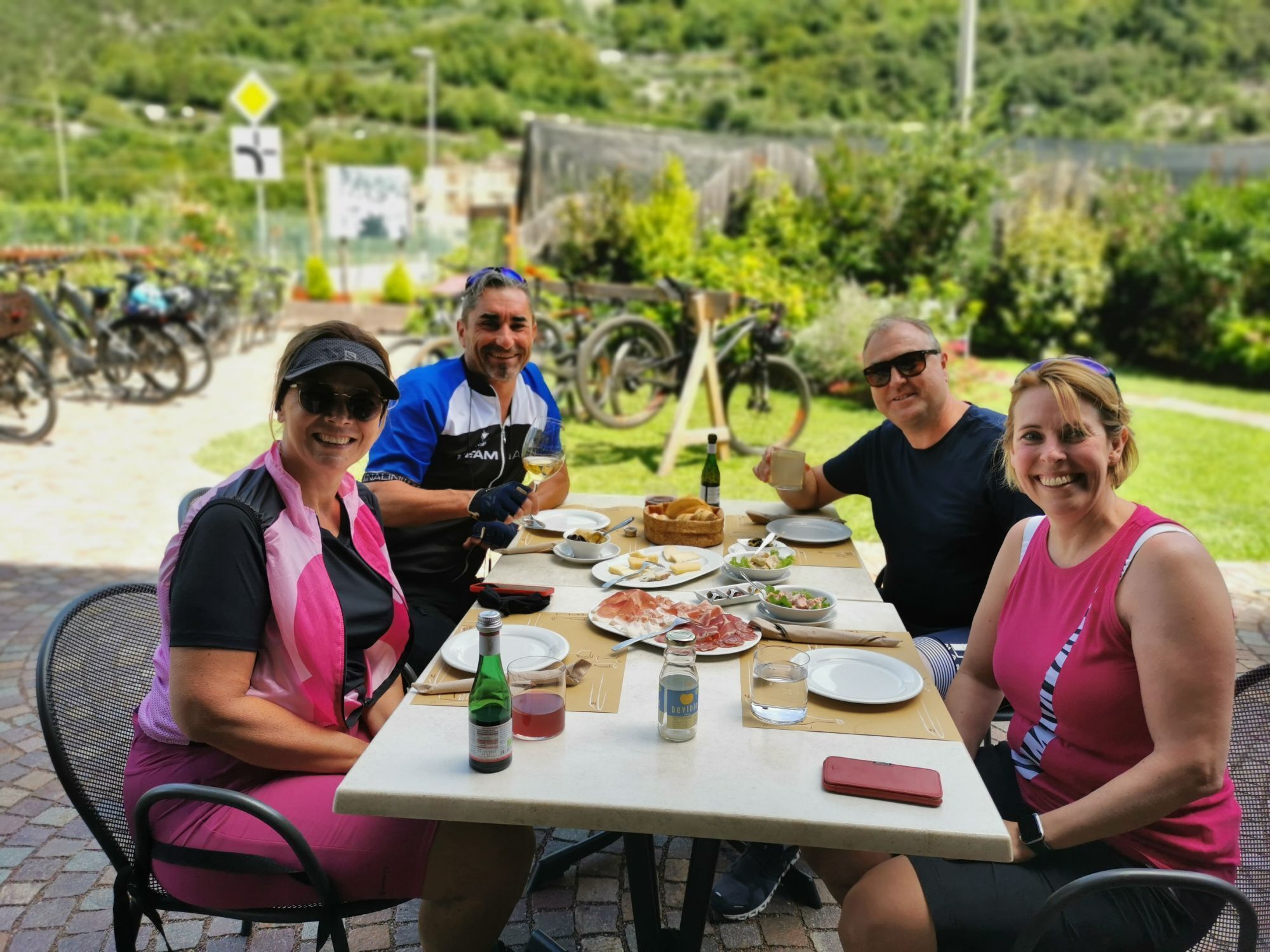
The Cammino dei Sette Laghi is a five-stage circular route through some of the most characteristic landscapes of the Valle dei Laghi, alternating lakes, cultivated countryside, woodland, small villages...
The Cammino dei Sette Laghi is a five-stage circular route through some of the most characteristic landscapes of the Valle dei Laghi, alternating lakes, cultivated countryside, woodland, small villages and sections with a more mountainous feel.
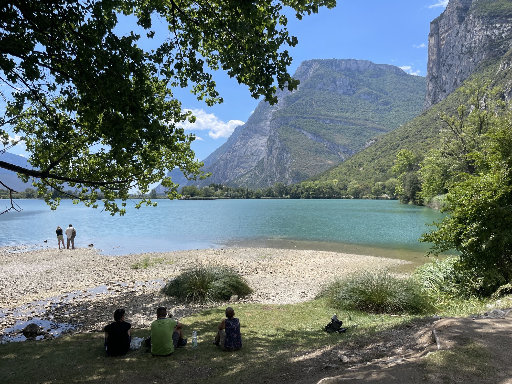
From Sarche, the route initially heads north along the shores of Lake Toblino and Lake Santa Massenza, then continues through vineyards, woods and historic villages to Monte Terlago. The second stage leads to the Laghi di Lamar and Lake Terlago, crossing the Prada plateau before descending towards Vezzano.
From Vezzano, the Cammino reaches its most mountainous section. The trail climbs through the woods on the western slopes of Monte Bondone to Lake Lagolo, then descends towards Castel Madruzzo and continues through the Cavedine Valley, among fields, villages and traces of the ancient Roman road, to Vigo Cavedine.
The fourth stage, the longest of the route, passes through Drena and Dro before reaching one of the most striking landscapes of the entire journey: the Marocche di Dro, a vast rocky area created by ancient landslides. The trail then reaches Lake Cavedine and continues across Monte Gaggio to Pietramurata.
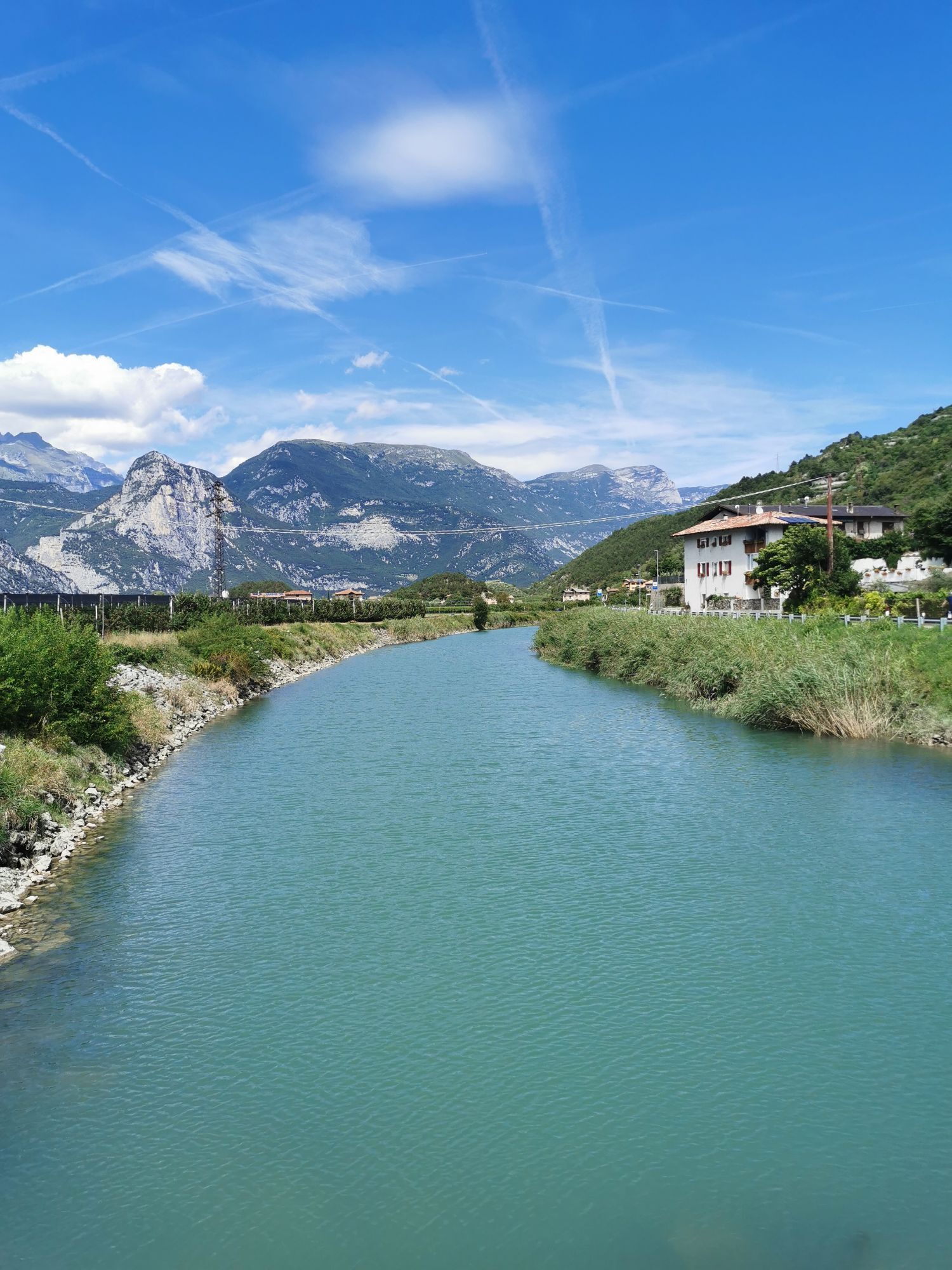
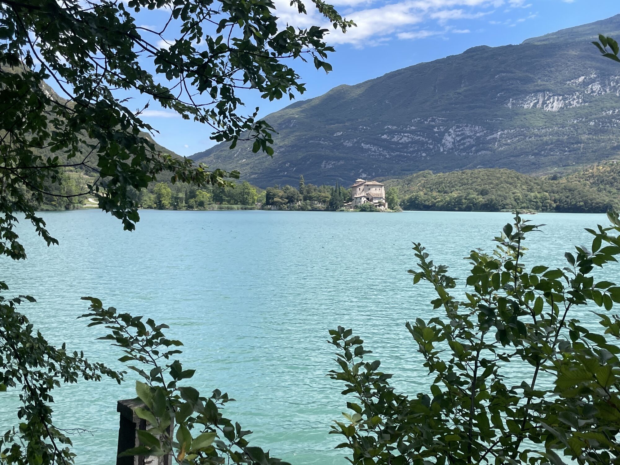
The final stage initially follows the River Sarca and crosses vineyards and farmland before climbing again towards Calavino. The descent along the Roggia di Calavino, through woodland, waterfalls and old mills, leads back towards Lake Toblino. Passing beside its unmistakable castle, the route finally returns to Sarche, completing the loop.
Over the five days, the landscape changes constantly: alpine lakes and valley-floor lakes, rocky cliffs, broadleaf and conifer woods, Nosiola vineyards, orchards and small villages rich in historical heritage. This variety is what makes the Cammino dei Sette Laghi a journey that reveals, step by step, the many different sides of the same territory.

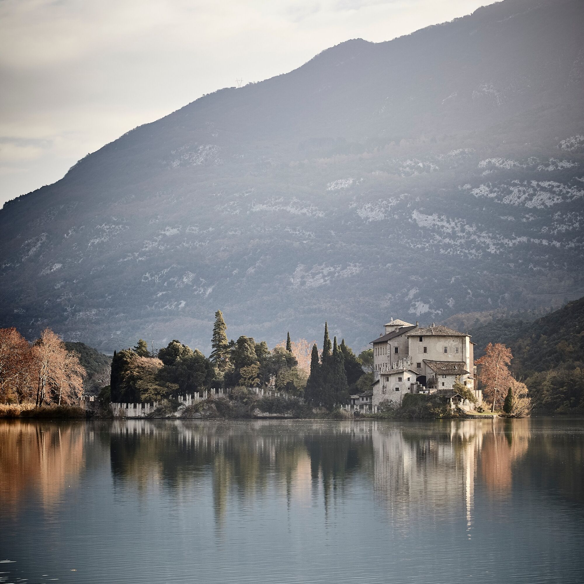
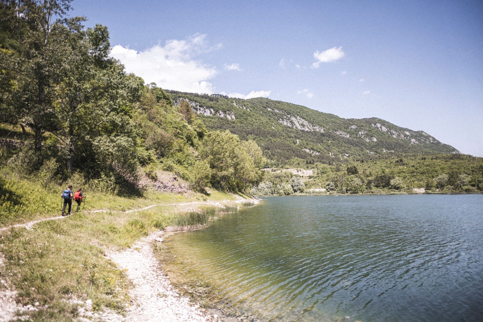
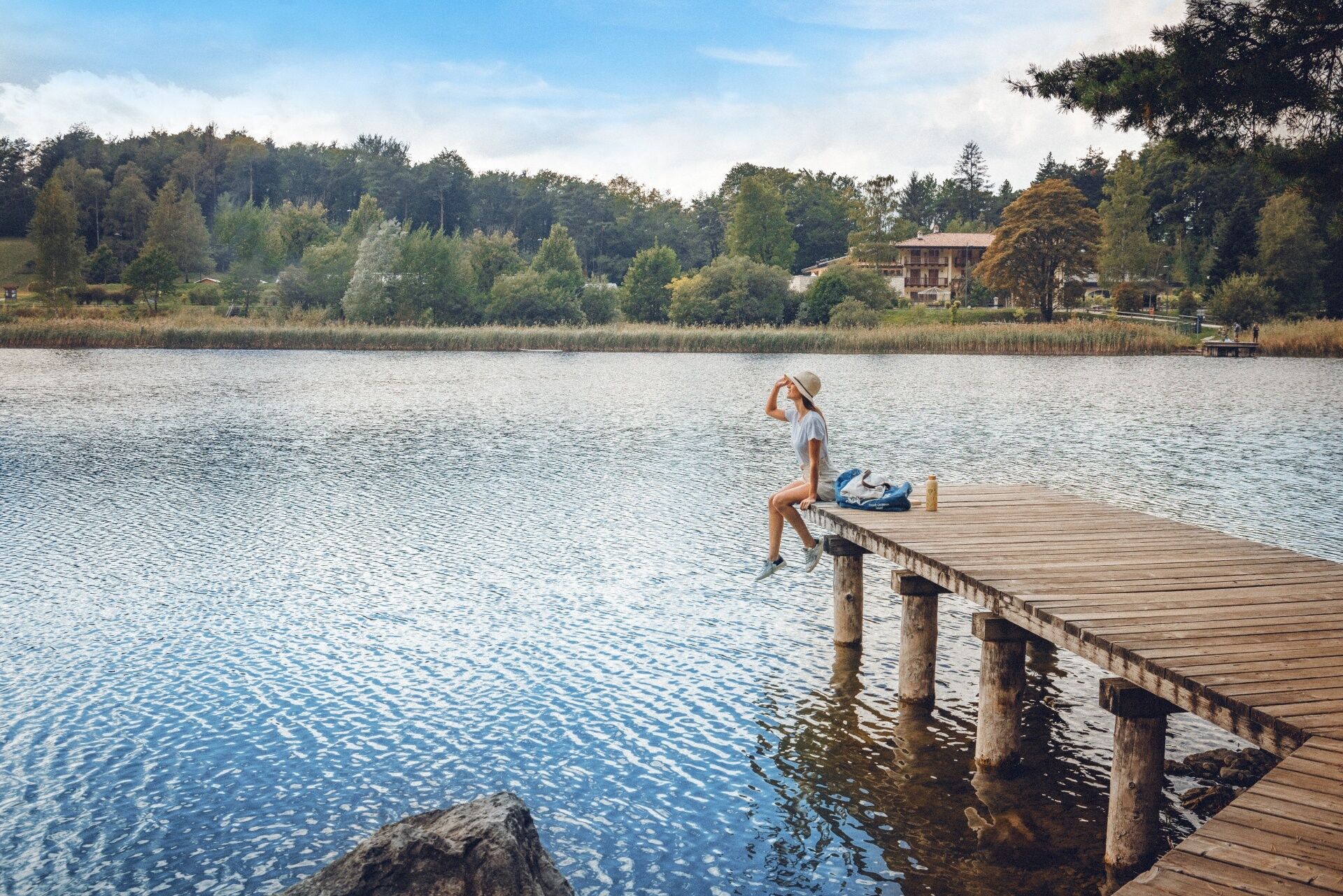
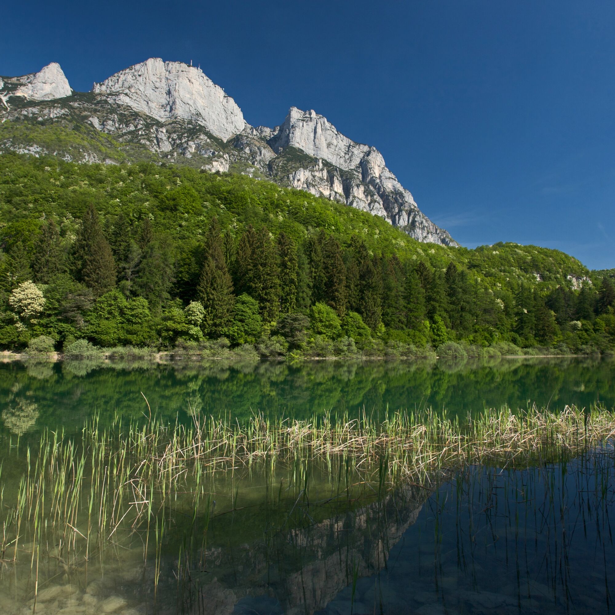
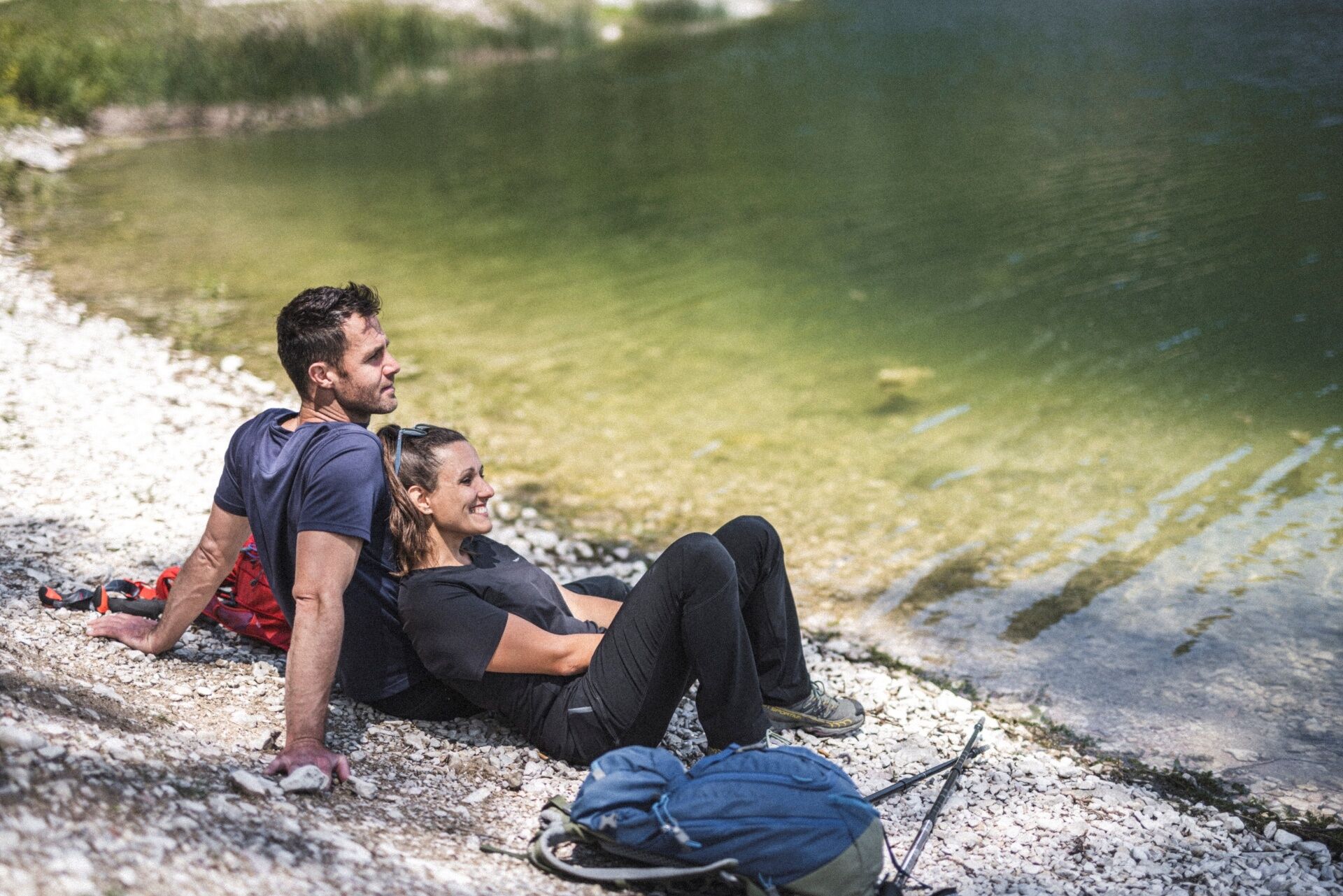

The Cammino dei Sette Laghi is a five-stage circular route starting and ending in Sarche.
Stage 1 – Sarche > Monte Terlago From Sarche, follow the pedestrian path along Lake Toblino and continue towards Padergnone and Santa Massenza. Through vineyards and small villages, the route reaches Fraveggio, Lon, Ciago and Covelo before arriving at Monte Terlago.
Stage 2 – Monte Terlago > Vezzano From Monte Terlago, the route crosses the Prati di Prada and reaches the Laghi di Lamar. Forest roads and trails then descend towards Lake Terlago and the village of the same name. The Ciclovia dei Laghi continues to Vezzano.
Stage 3 – Vezzano > Vigo Cavedine From Vezzano, follow SAT trail 618 uphill through the woods to Lake Lagolo. From here, the route descends towards Castel Madruzzo and Lasino, then continues along the archaeological trail to Cavedine. Passing through Brusino and the surrounding countryside, it reaches Vigo Cavedine.
Stage 4 – Vigo Cavedine > Pietramurata From Vigo Cavedine, the route crosses the countryside towards Drena. After the village and castle, the Cammino descends towards Dro and continues to Lake Bagattoli and the Fies hydroelectric power station. After crossing the Marocche di Dro, it reaches Lake Cavedine and then continues across Monte Gaggio to Pietramurata.
Stage 5 – Pietramurata > Sarche From Pietramurata, initially follow the Sarca cycle path towards Pergolese. Through farmland and vineyards, the route reaches the Masi di Calavino and the Roggia di Calavino, which is followed downhill. Once back on the valley floor, the Cammino follows the pedestrian path along Lake Toblino to Sarche, where the route ends.
Along the entire route, follow the dedicated Cammino dei Sette Laghi signs and, where applicable, the SAT trail markers and cycle-pedestrian route signs.
Da
You need to wear the right clothing and take the proper gear when you go hiking in the mountains. Even on relatively short easy outings make sure to take all you need so you don't run into trouble if things take an unexpected turn, for example a storm blows up or you have a sudden drop in energy levels.
What should you take when you go on a hike?
Your rucksack (for a day trip a 25/30L capacity should do) should contain:
water canteen (1L) snacks (e.g. mixed dried fruit or chocolate) First aid kit windproof jacket fleece change of t-shirt and socks (in a plastic bag) make sure to wear or at least bring a pair of long trousers hat sun screen sunglasses gloves whistle to attract attention in an emergencyMake sure you're wearing the right footwear for the trail and season. The going can get rough and rocky underfoot and a pair of hiking boots will protect you from sprains. When wet, a grassy slope, rocky slab or steep trail can be dangerous unless you are wearing the proper footwear.
And finally... don't forget to bring your camera! You'll need it to capture the stunning views you come across all over Garda Trentino. And if you like, you can share your memories with us at #GardaTrentino.
Emergency telephone number 112.
Safety Tips
1. Choose itineraries that suit your physical and technical abilities. Collect information about the area you are visiting and the trail’s conditions and get a detailed trekking map.
2. Wear clothes and take equipment that suit the difficulty and length of your tour. Keep emergency gear in your rucksack, including first aid supplies.
3. Do not go walking alone in the mountains. In any case, tell someone where you are going and report back on returning.
4. Look at the weather forecast before setting off and always keep an eye on the weather.
5. In case of doubt, go back. It is better to give up than risk bad weather or face difficulties beyond your strength, ability and equipment.
6. Do not leave marked paths and do not take shortcuts.
7. All described walks are in a natural environment and therefore their use is at your own risk.
This information is subject to inevitable variations, so none of these indications are absolute. It is not entirely possible to avoid giving inexact or imprecise information, given how quickly environmental and weather conditions can change. For this reason, we decline any responsibility for changes which the user may encounter. In any case, it is advisable to check environment and weather conditions before setting out.
Find out how to reach Garda Trentino.
Parking in Via Dain
T2
Take time to stop along the way: lakes, villages, castles, distilleries and vineyards are all an essential part of the Cammino experience.
Spletne kamere s turneje

Priljubljeni izleti v okolici
-
4.8
Via Ferrata Rio Sallagoni
srednjaVia ferrata 2.75 km -
4.6
Colodri Klettersteig (A/B)
Via ferrata 7.50 km -
4.6
Ciclabile dei Laghi Torbole – Sarche Cycle path
srednjaKolesarjenje 24.8 km -
5.0
In the heart of Garda Trentino: the "Giro della Busa" loop
svetlobaKolesarjenje 19.6 km -
4.5
From Malga Campo to Monte Stivo
srednjaPohodništvo 8.46 km -
4.2
Laghel - Tour
srednjaMountainbike 10.3 km -
4.0
Monte Velo - Tour
težkoMountainbike 29.4 km -
4.6
The Calavino Water Channel
srednjaPohodništvo 3.79 km -
4.2
Bosco Caproni and Trenches of Vastrè
svetlobaPohodništvo 5.77 km -
4.2
Monte Colodri - Colt
srednjaPohodništvo 9.94 km
Pohodništvo in sledenje


Ne zamudite ponudb in navdiha za naslednje počitnice
Vaš e-poštni naslov je bil dodan na poštni seznam.


