







In the heart of Garda Trentino: the "Giro della Busa" loop

Stopnja težavnosti: 1
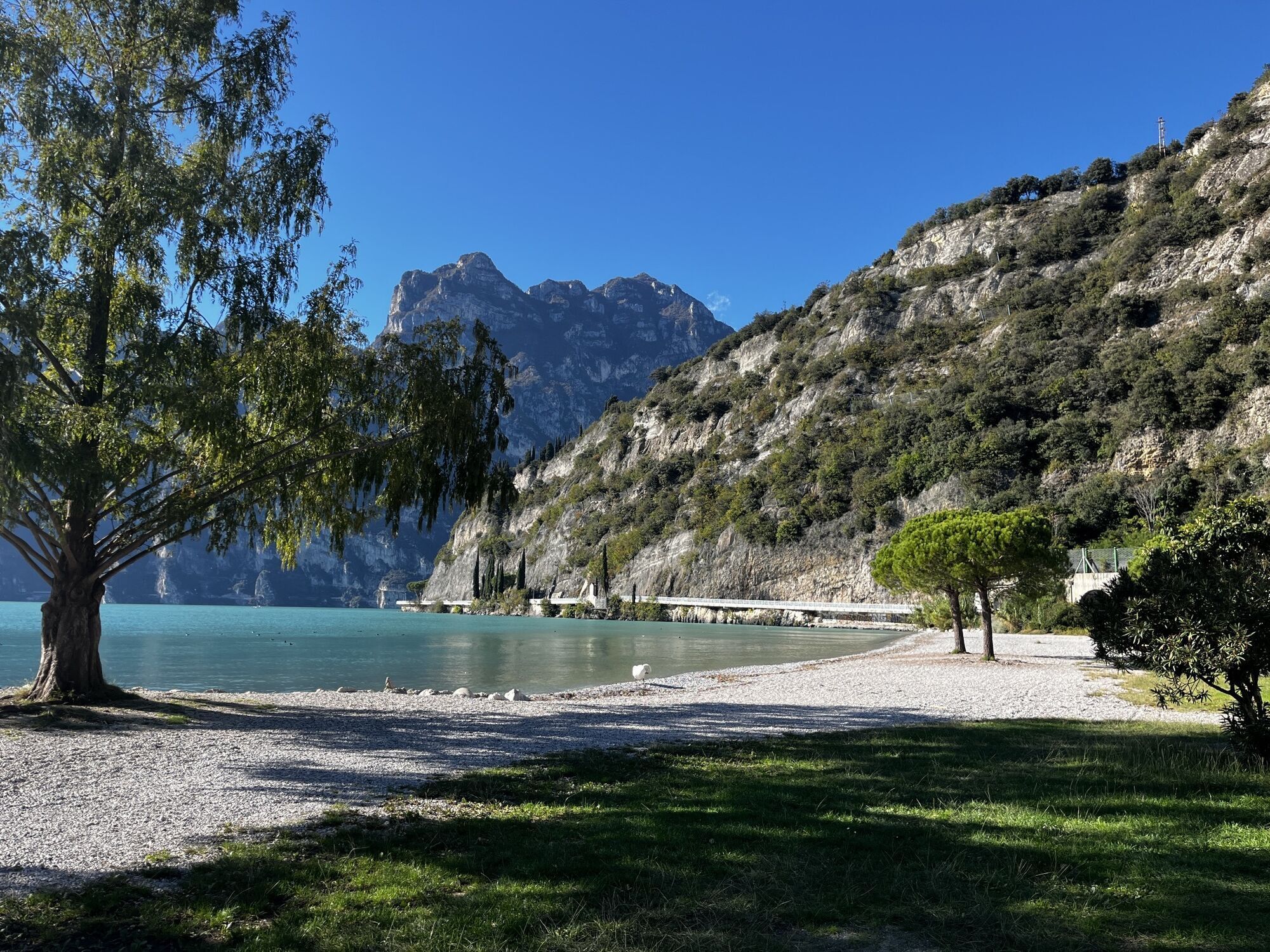
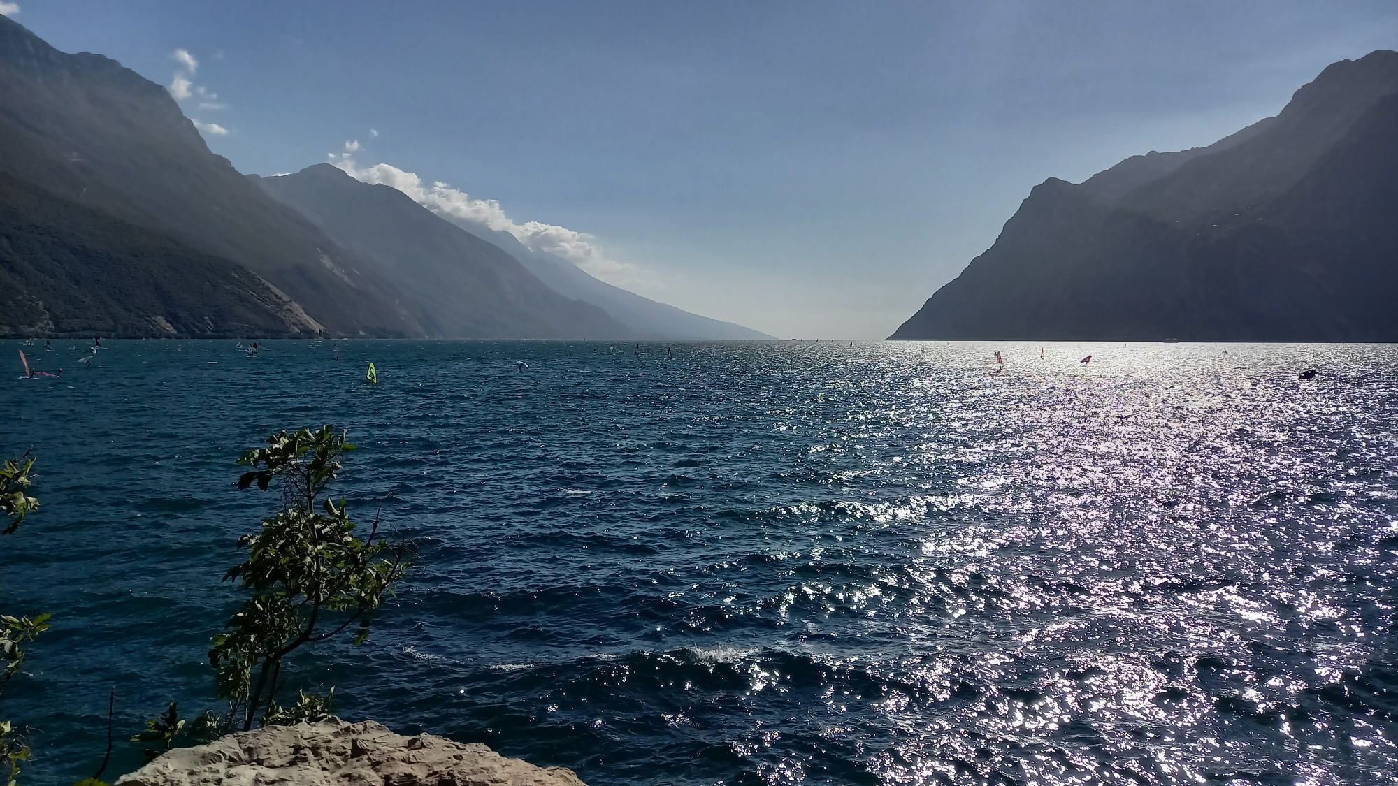
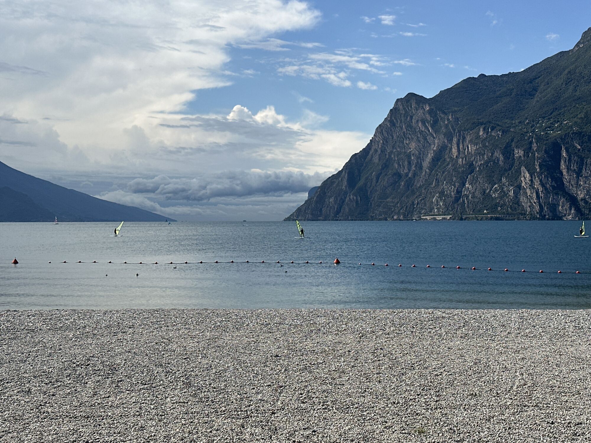
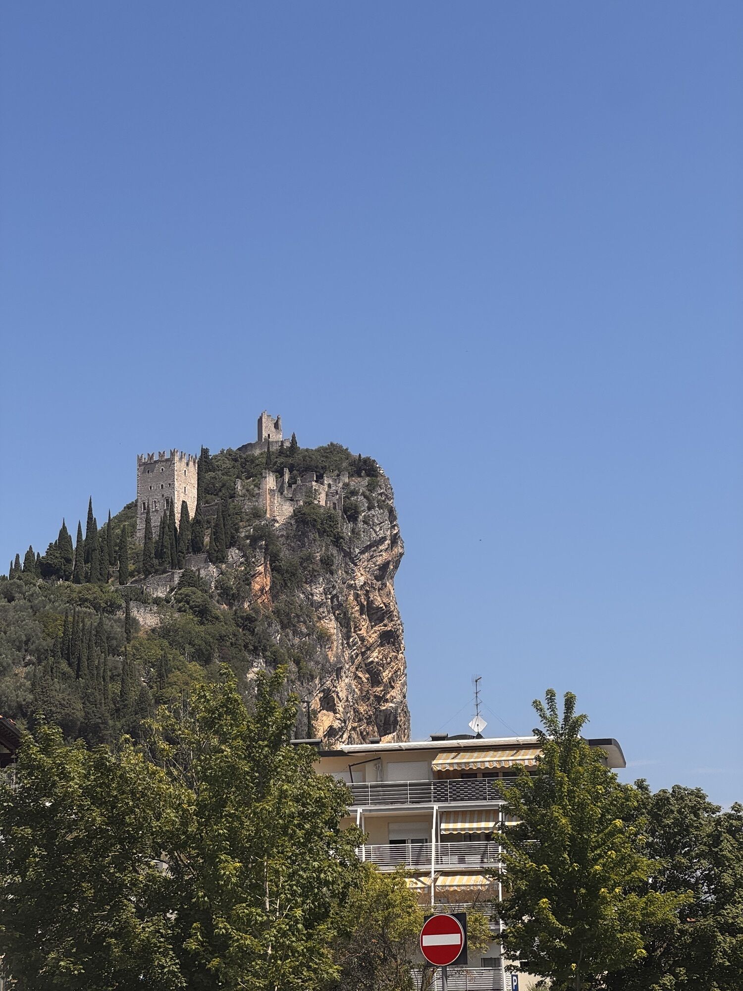
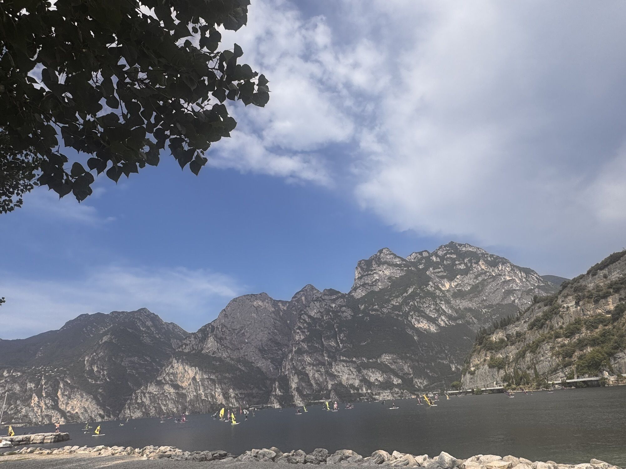
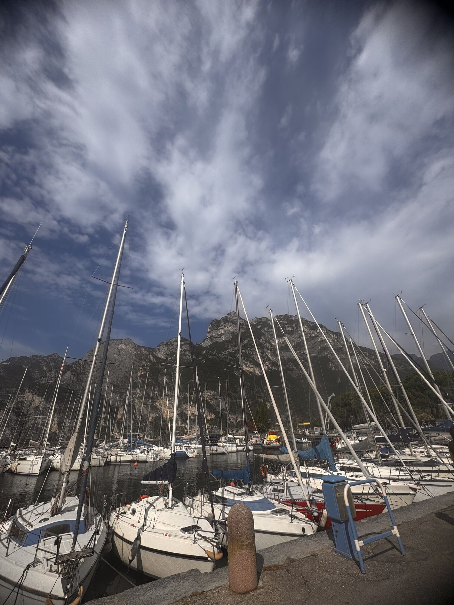
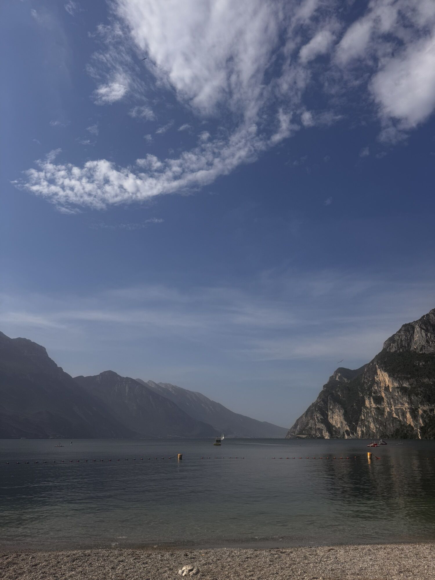
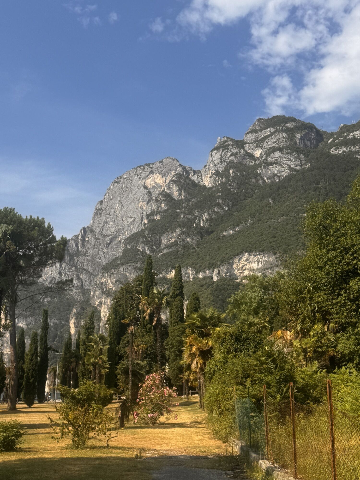
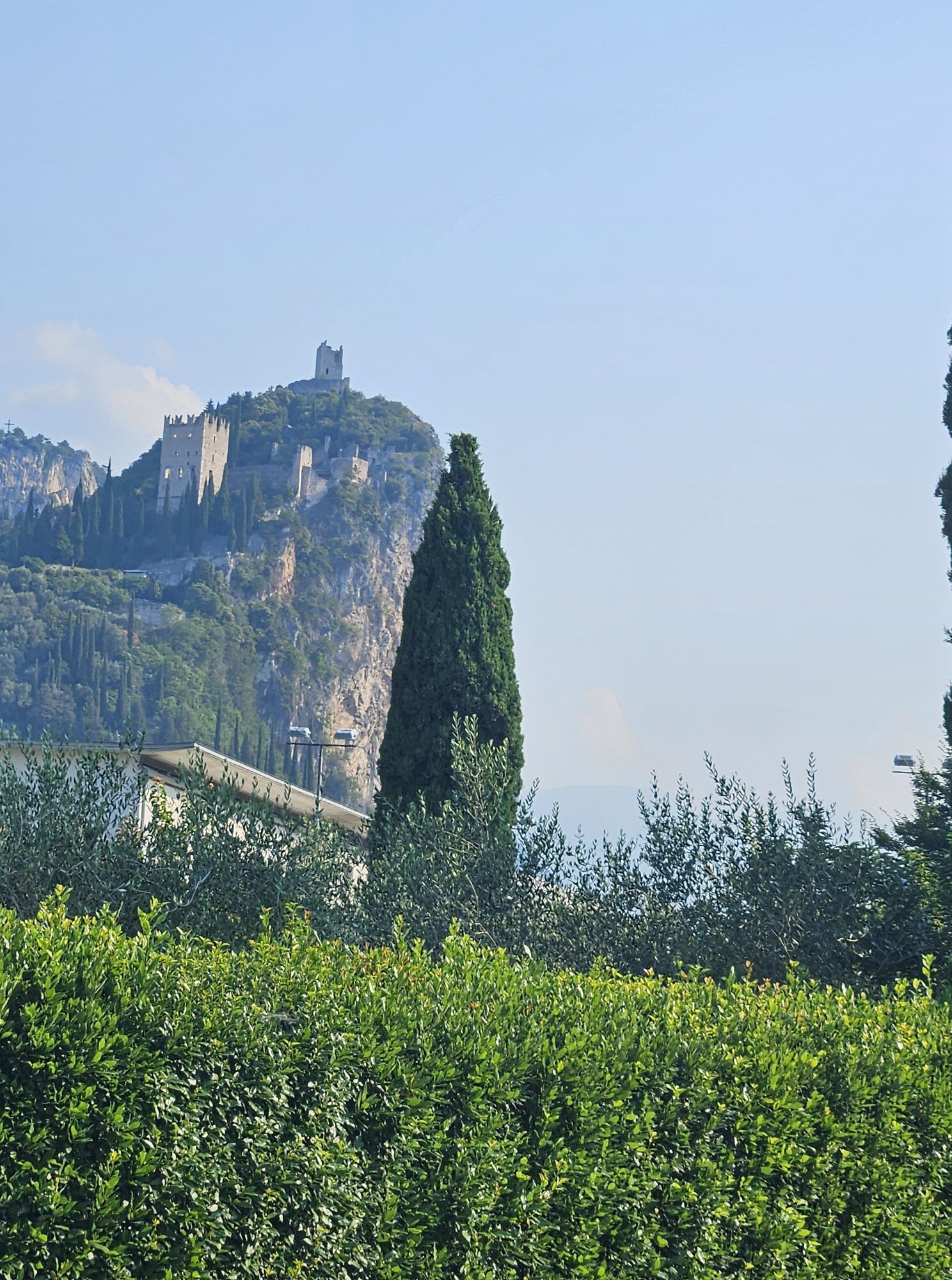
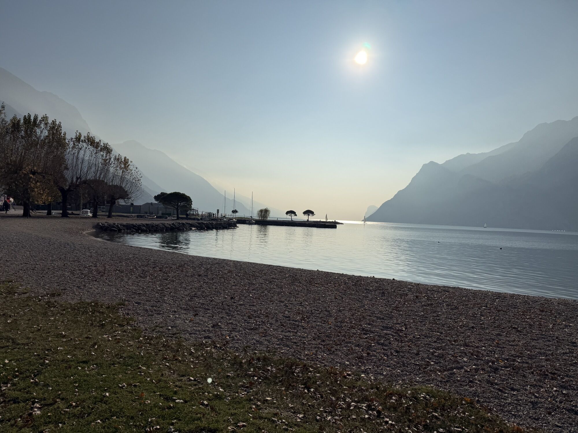

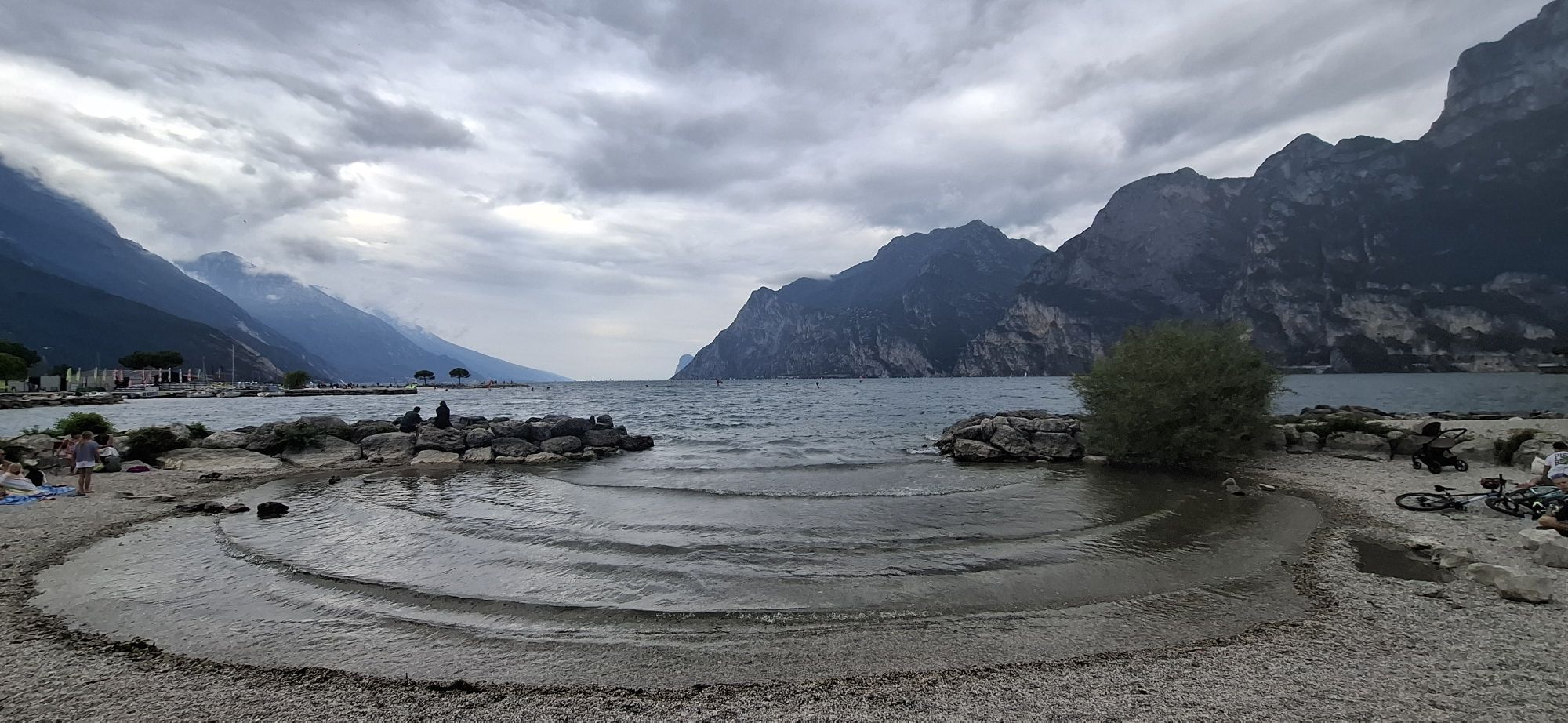
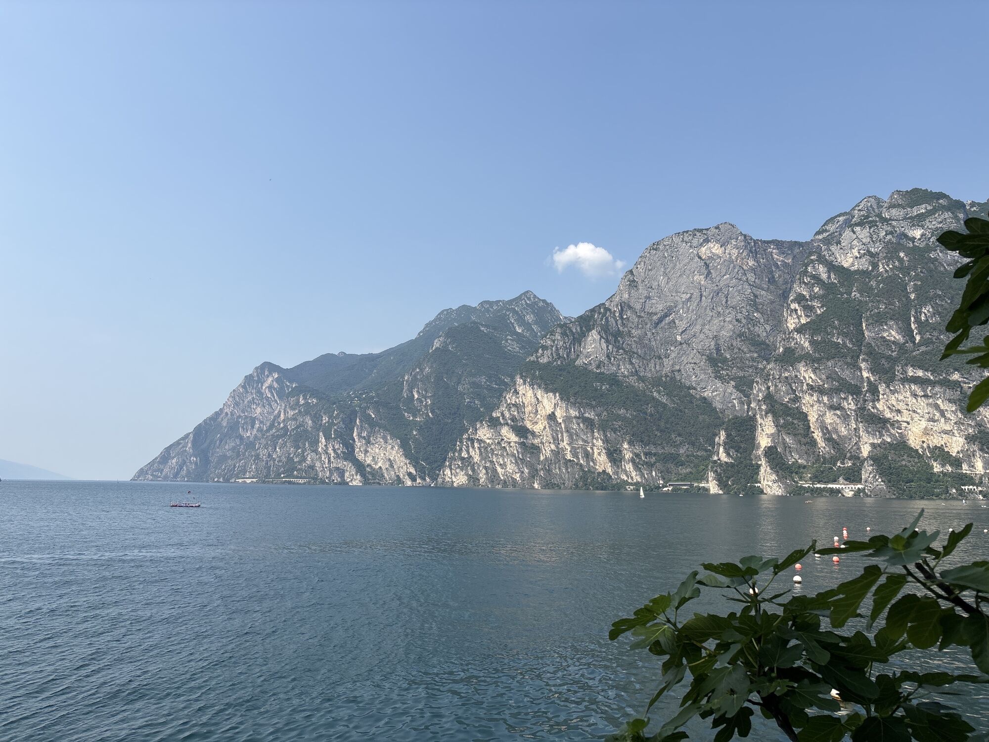
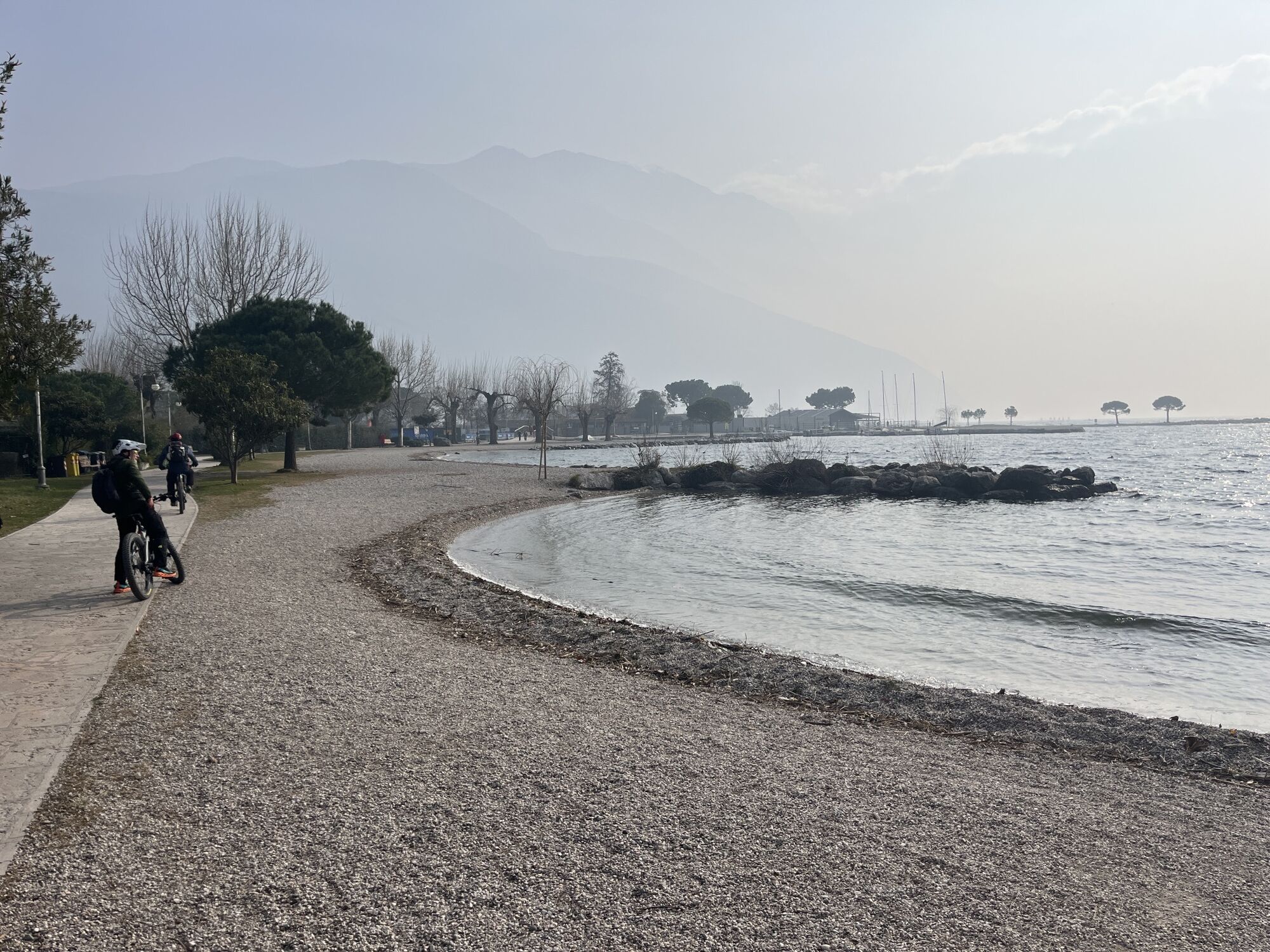
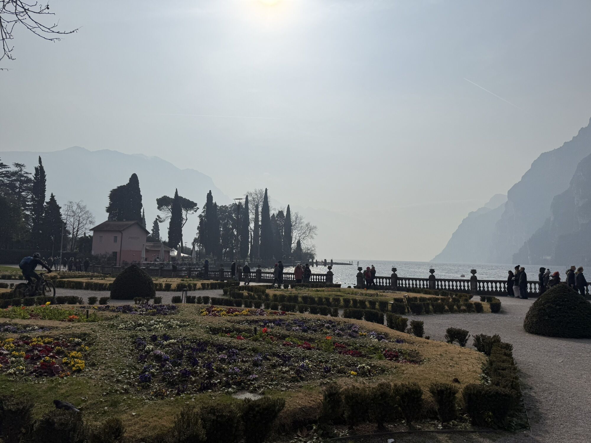

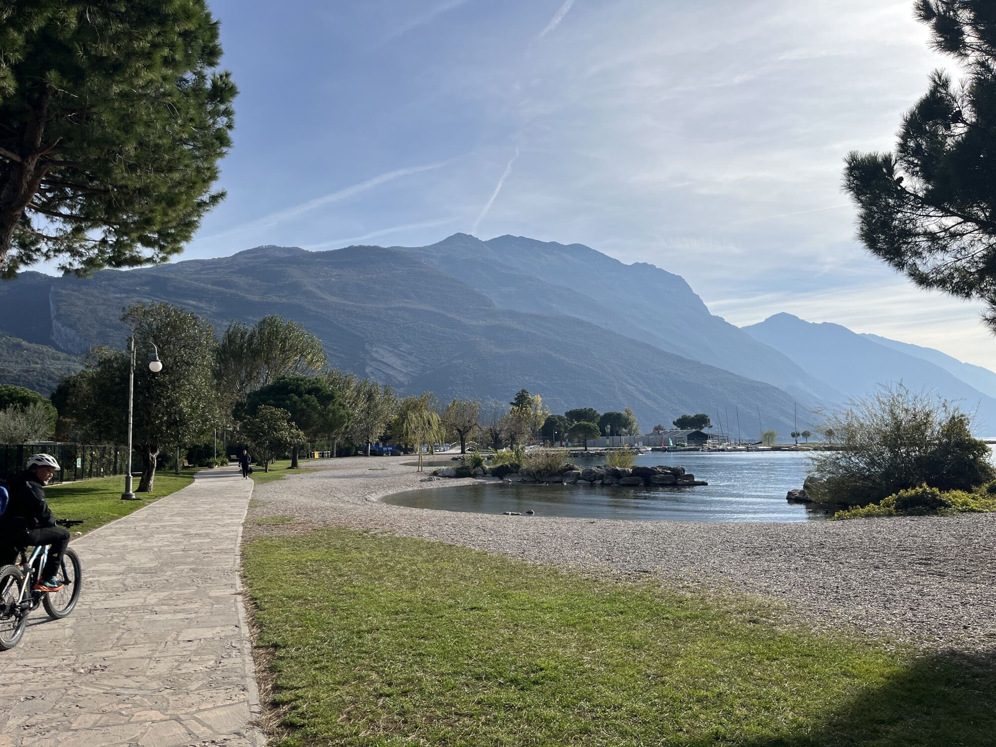
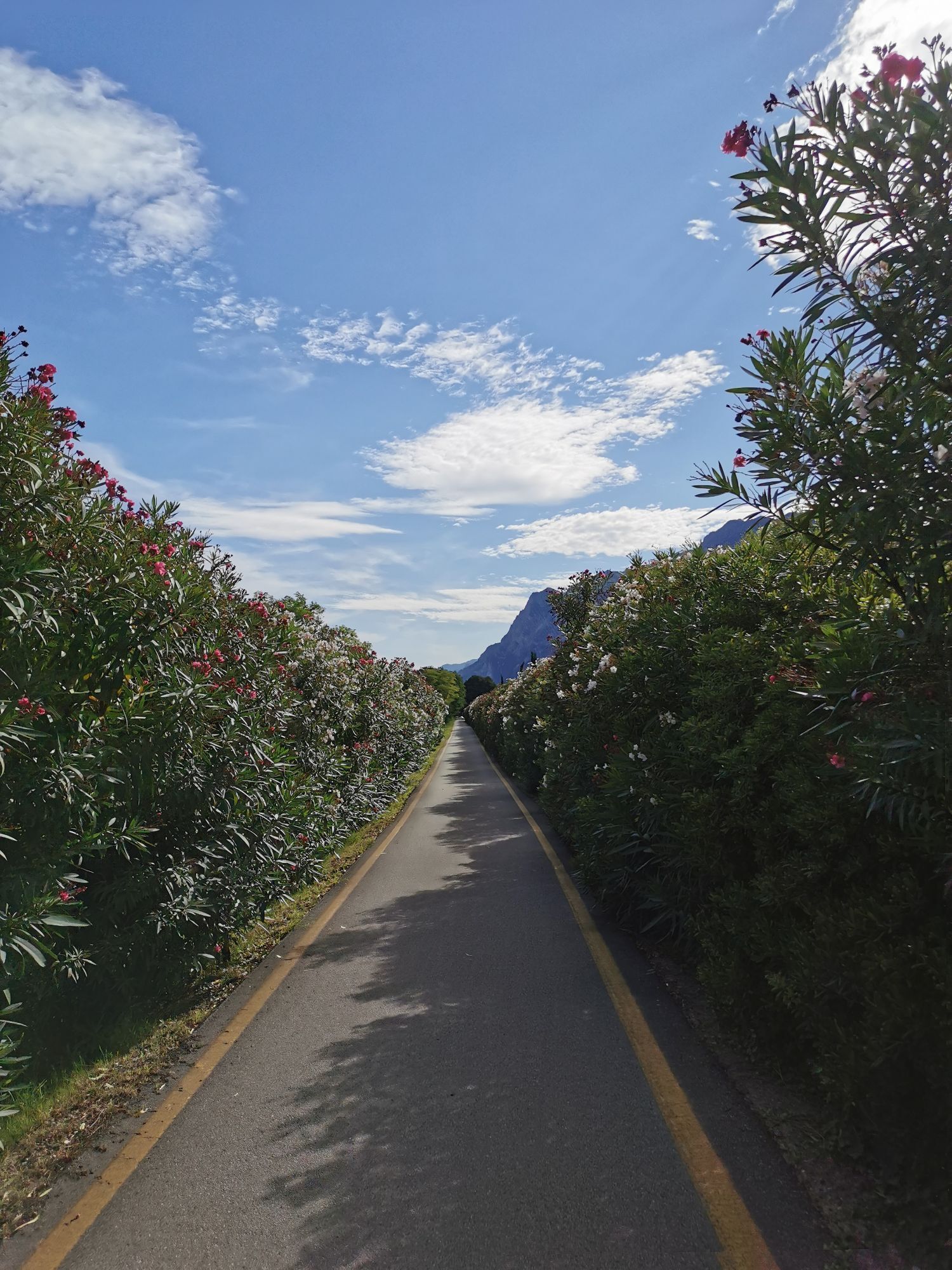
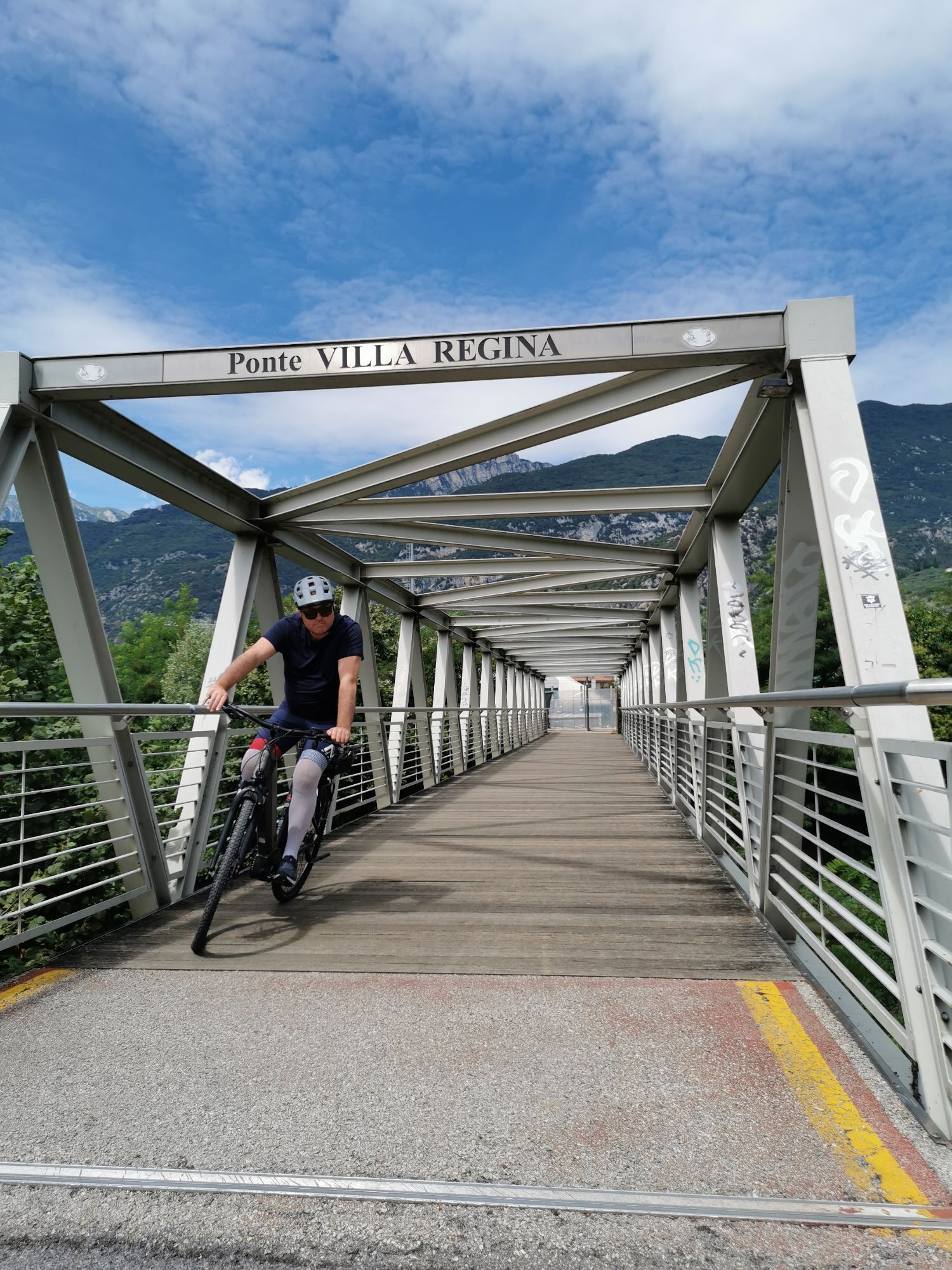
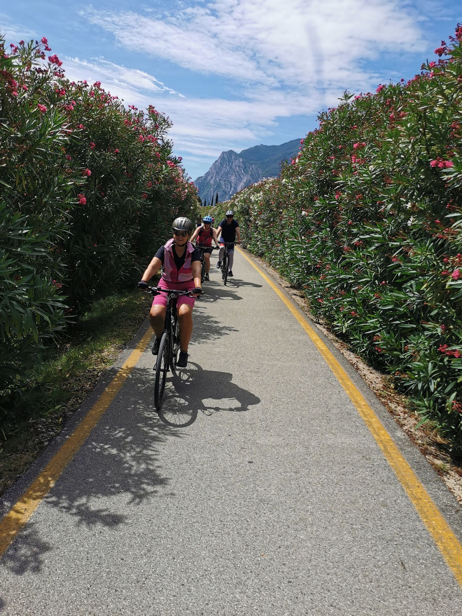
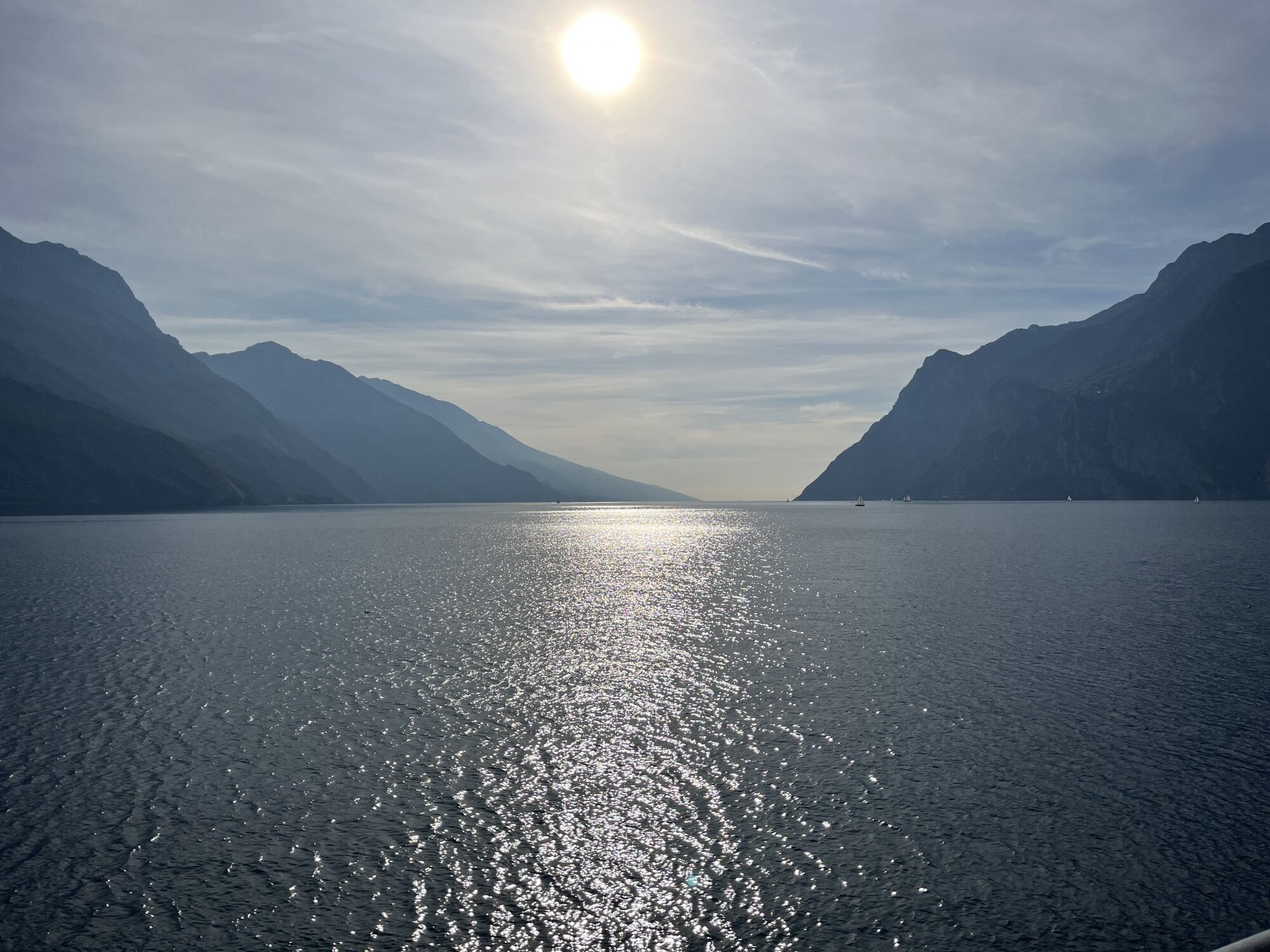
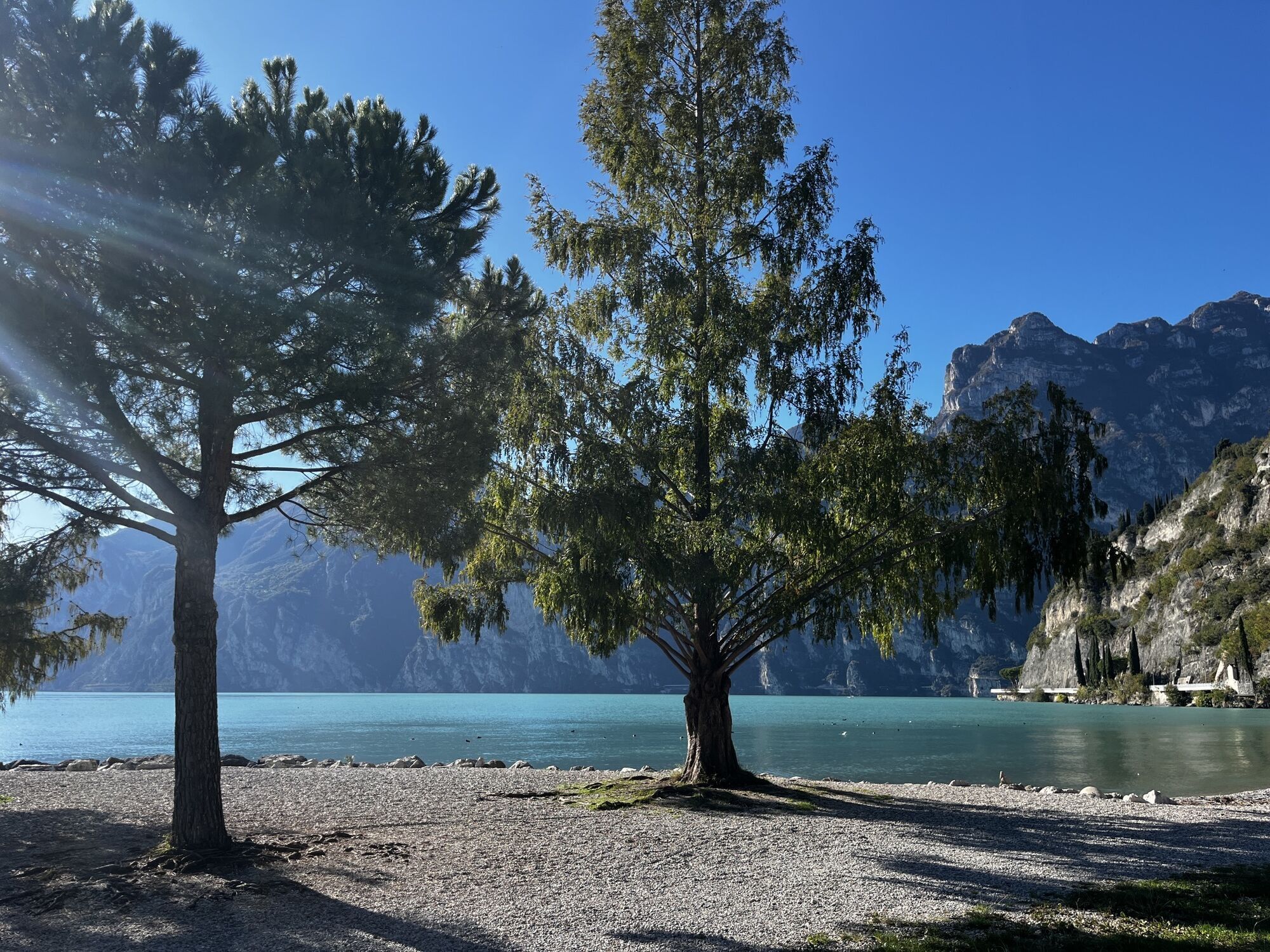
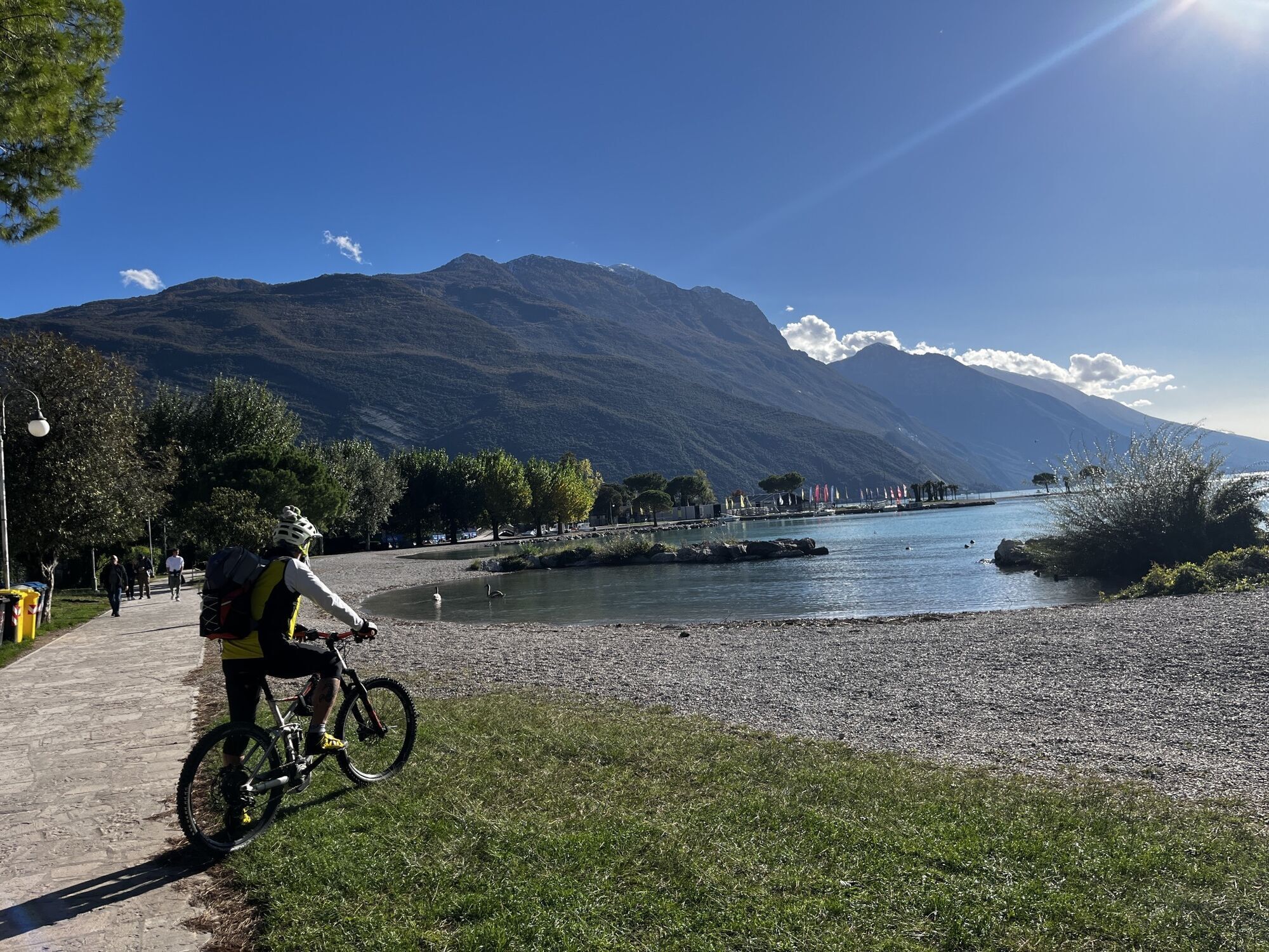
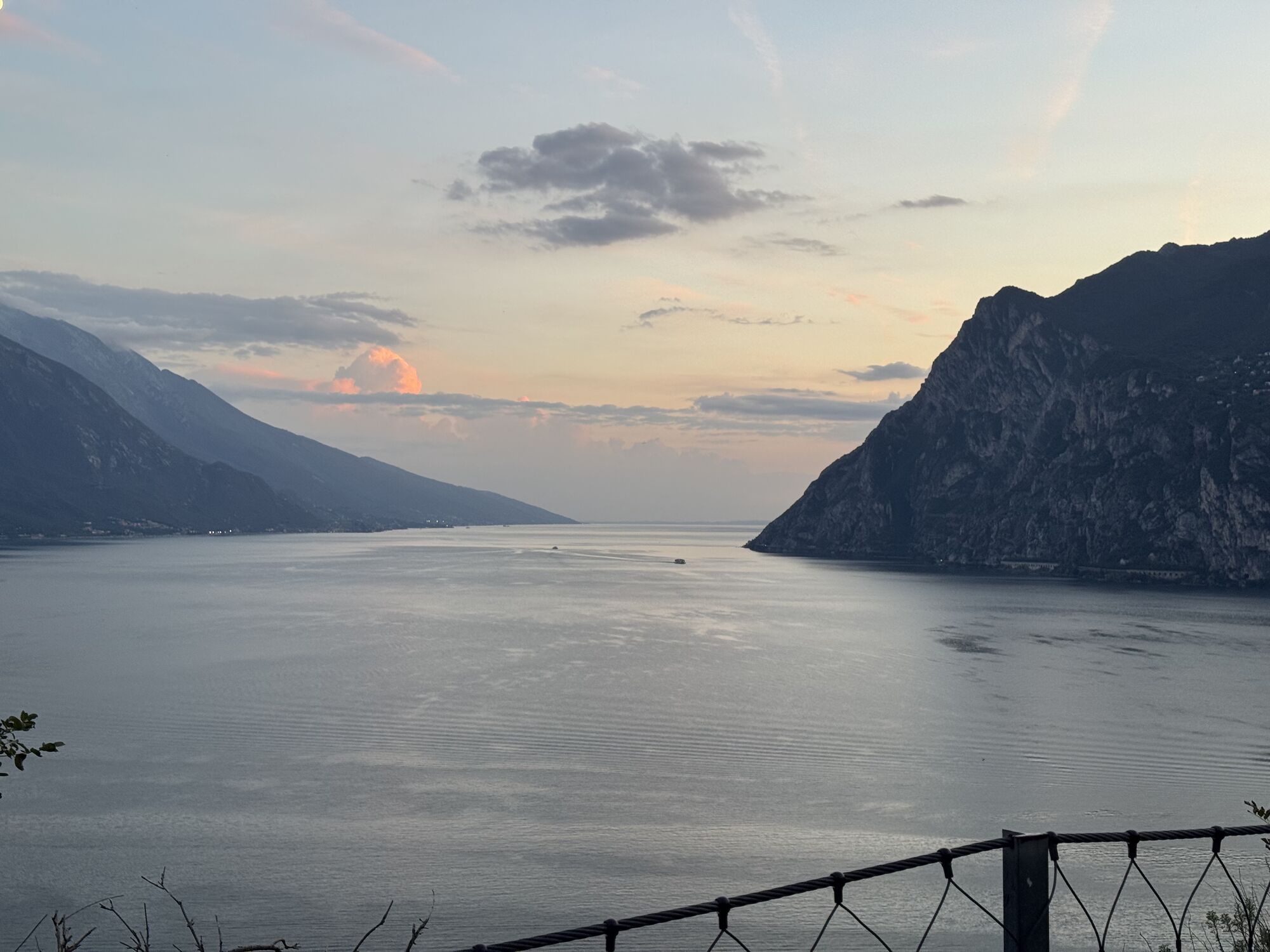
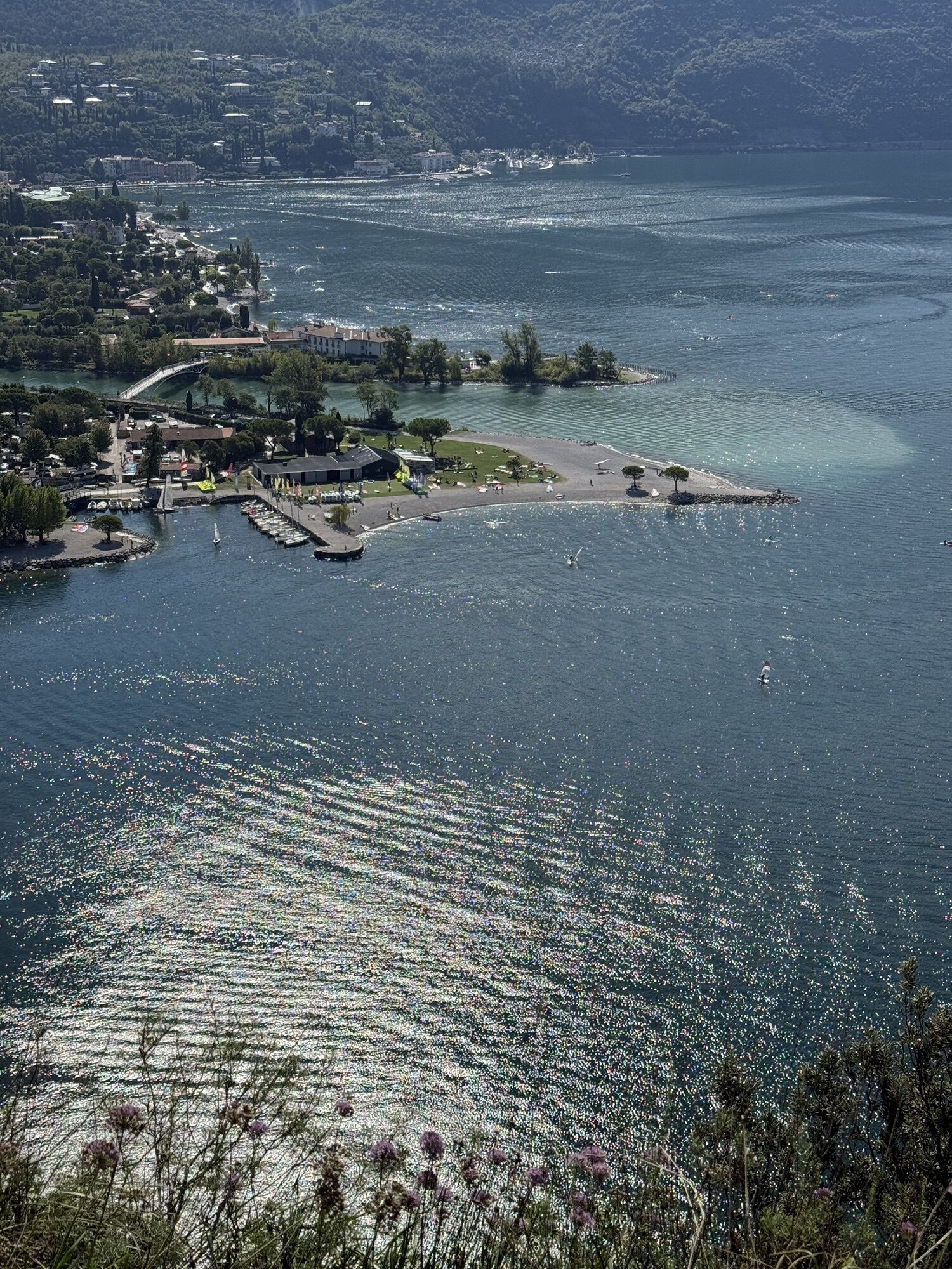
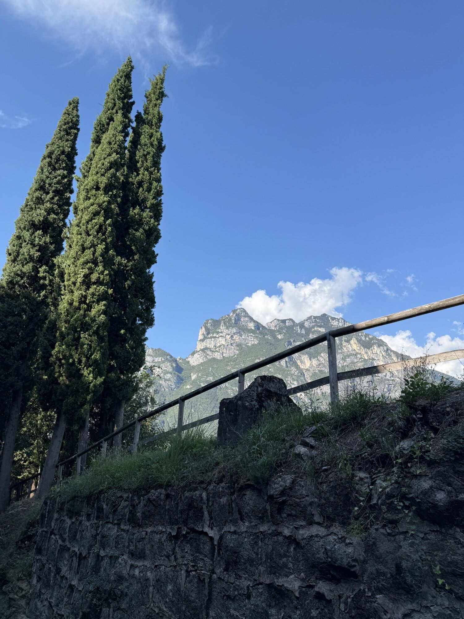
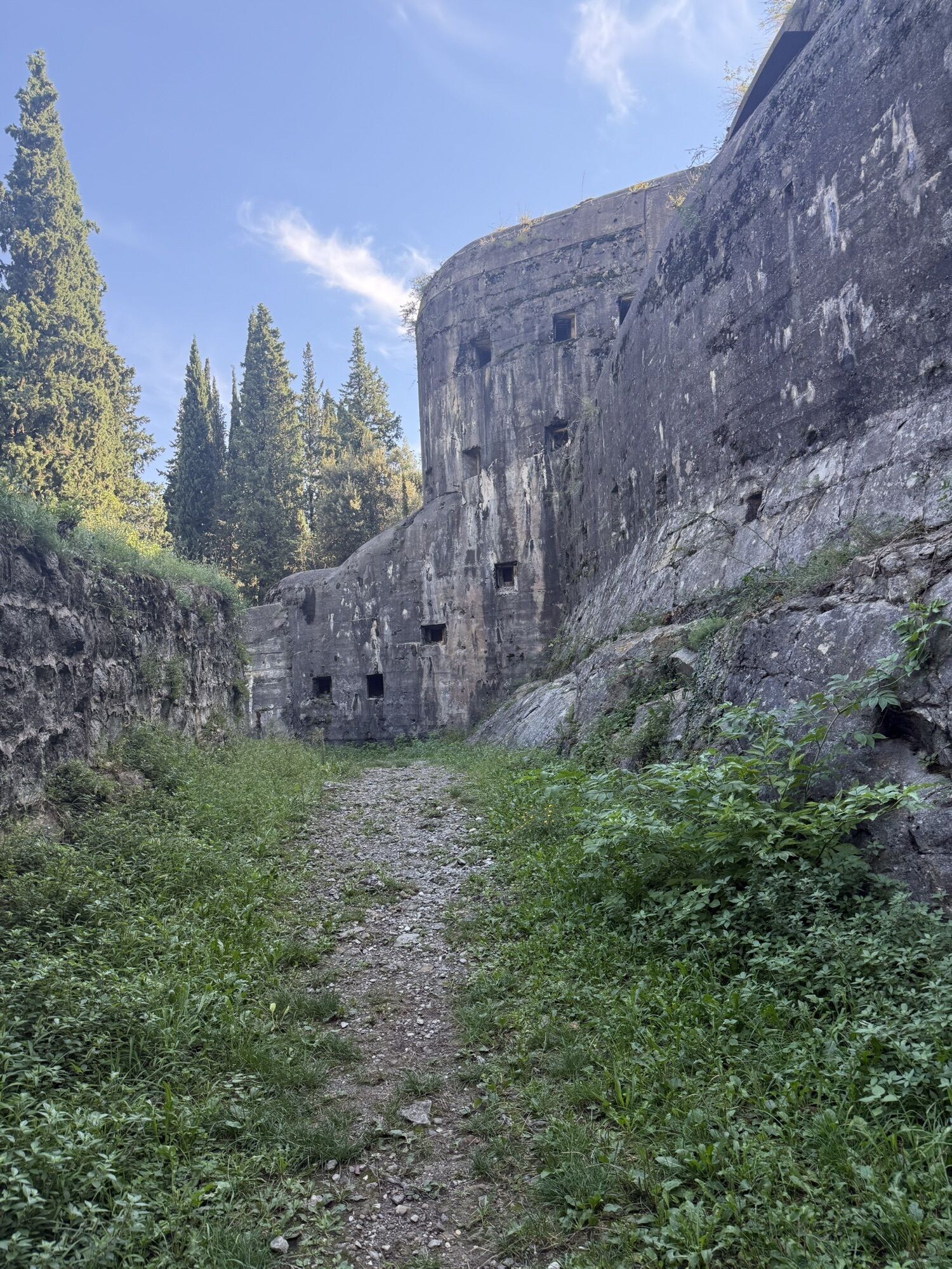
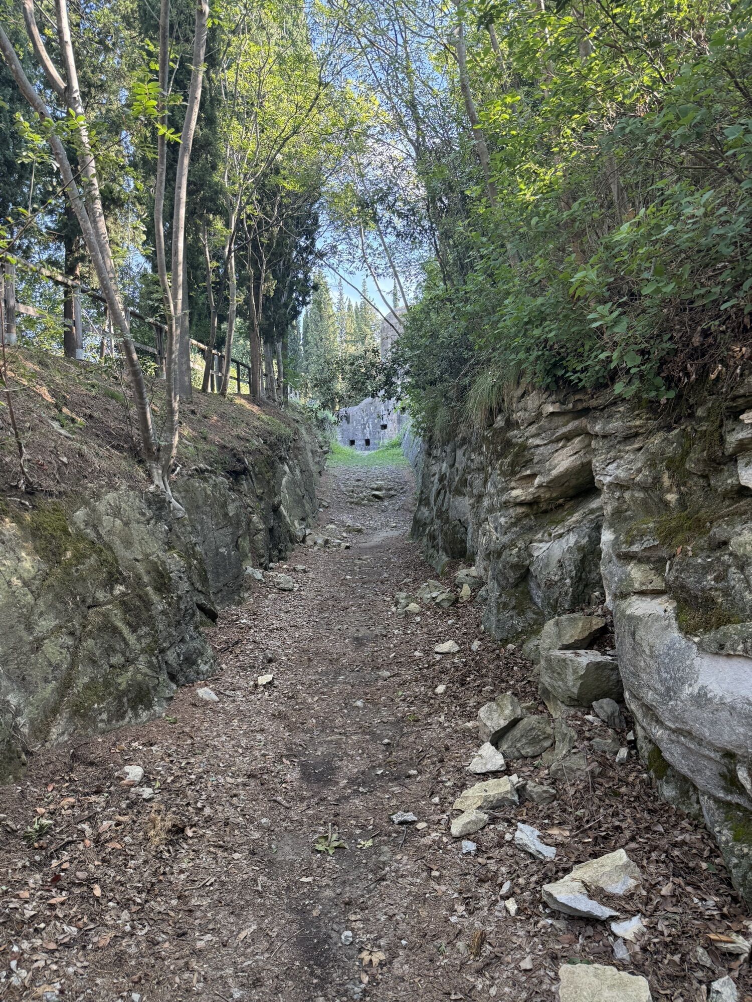
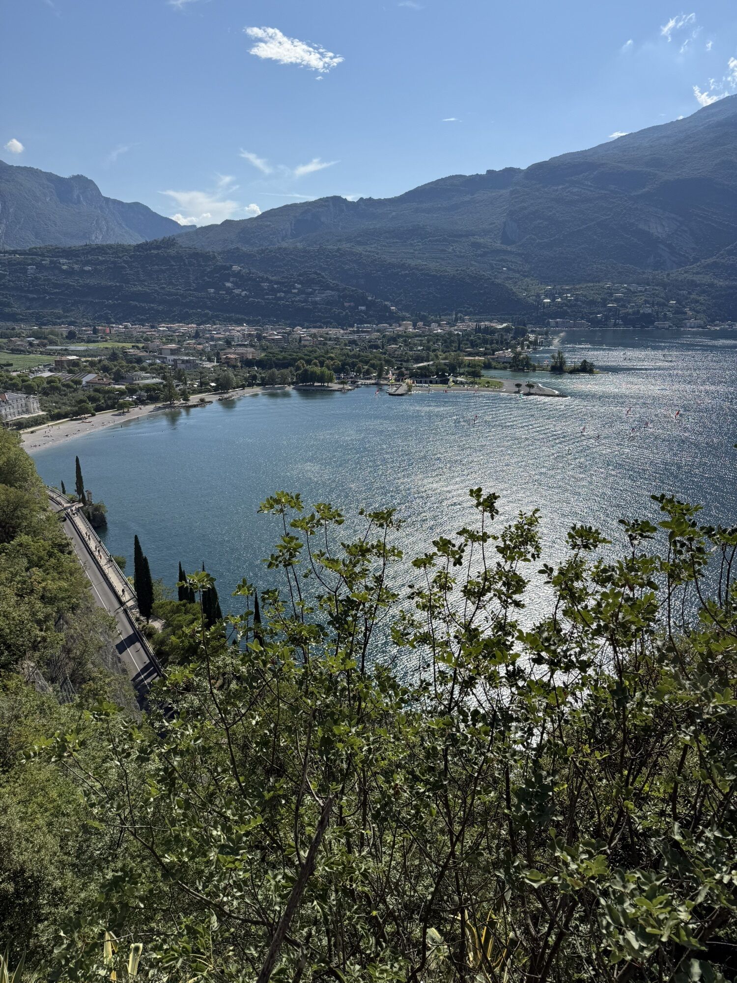
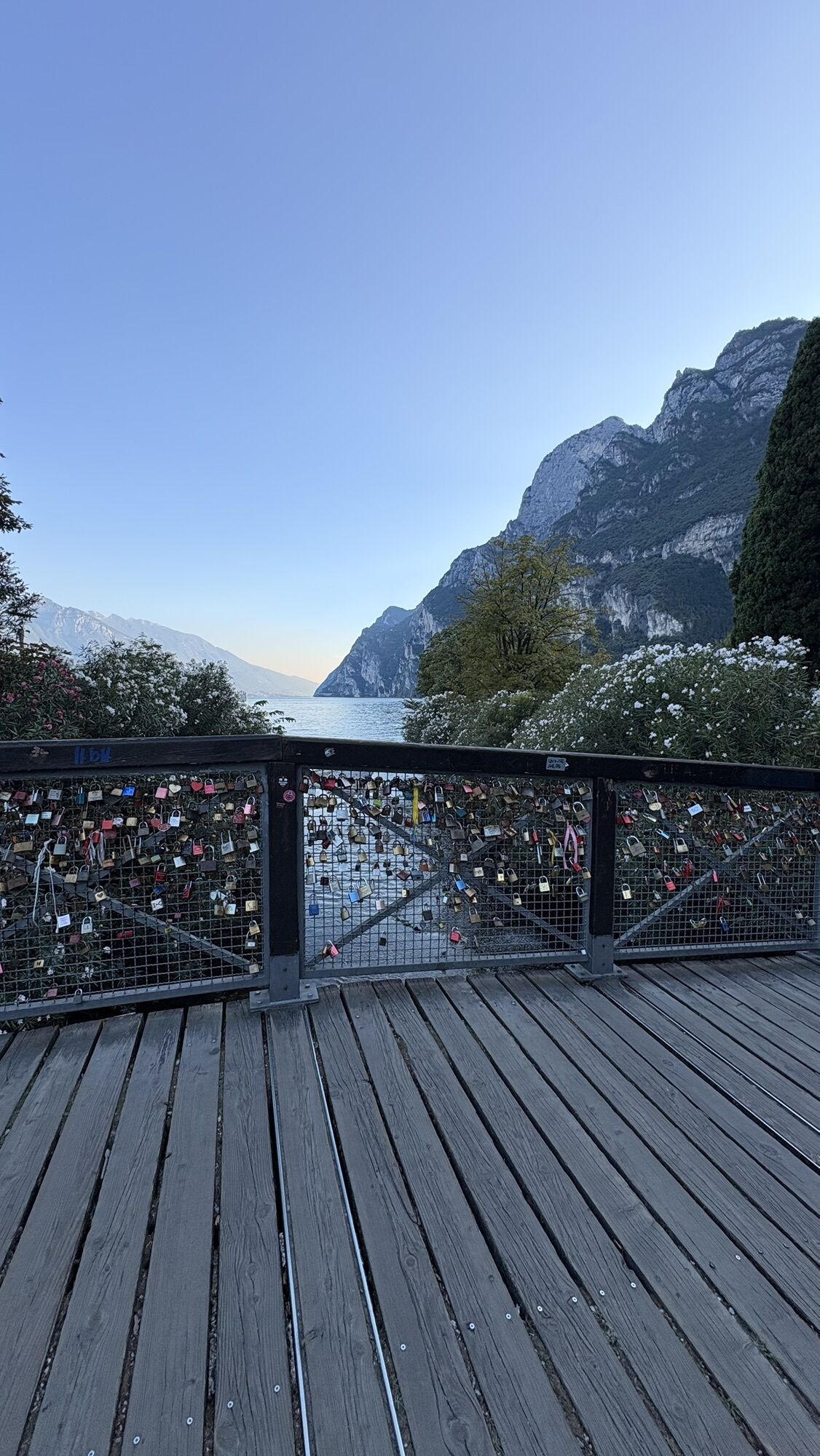
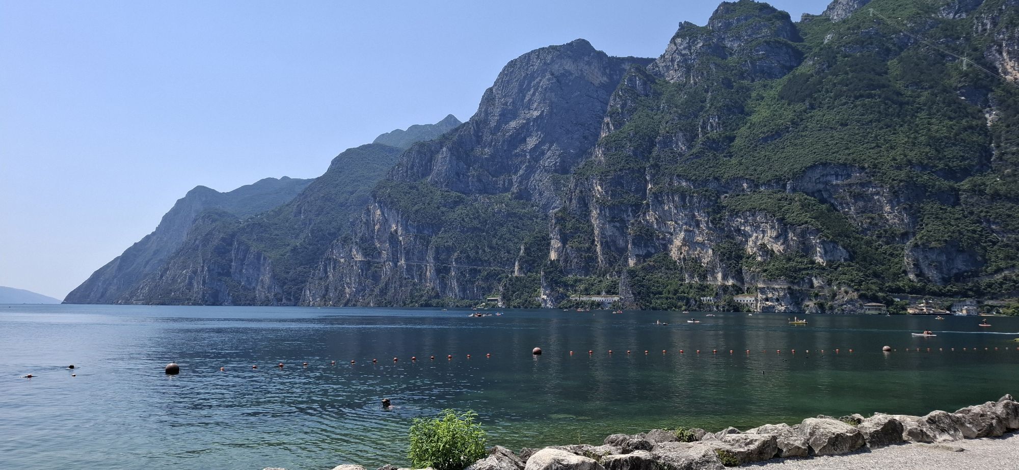
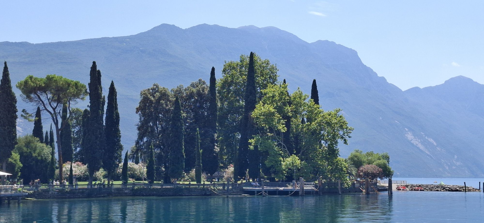
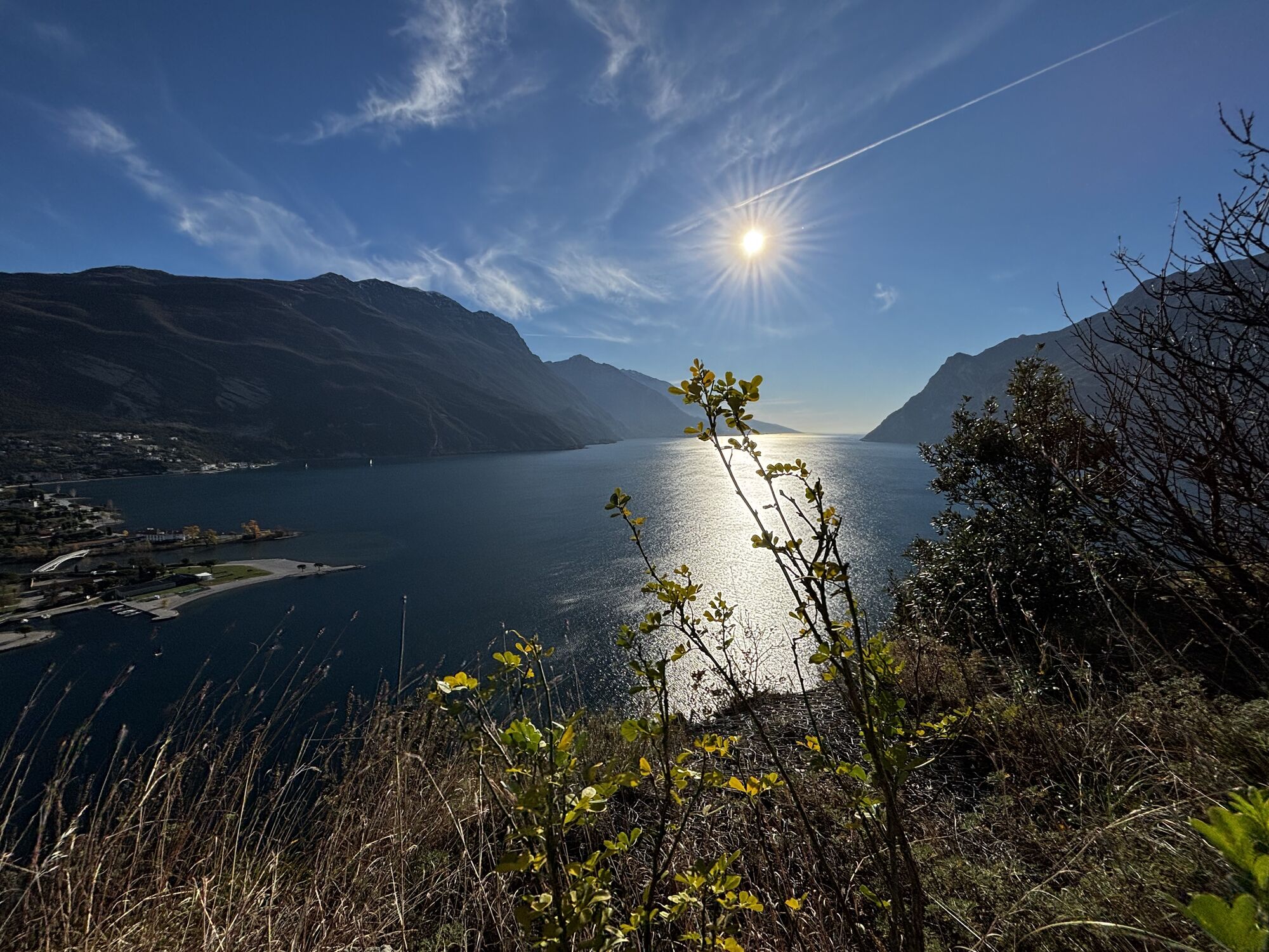

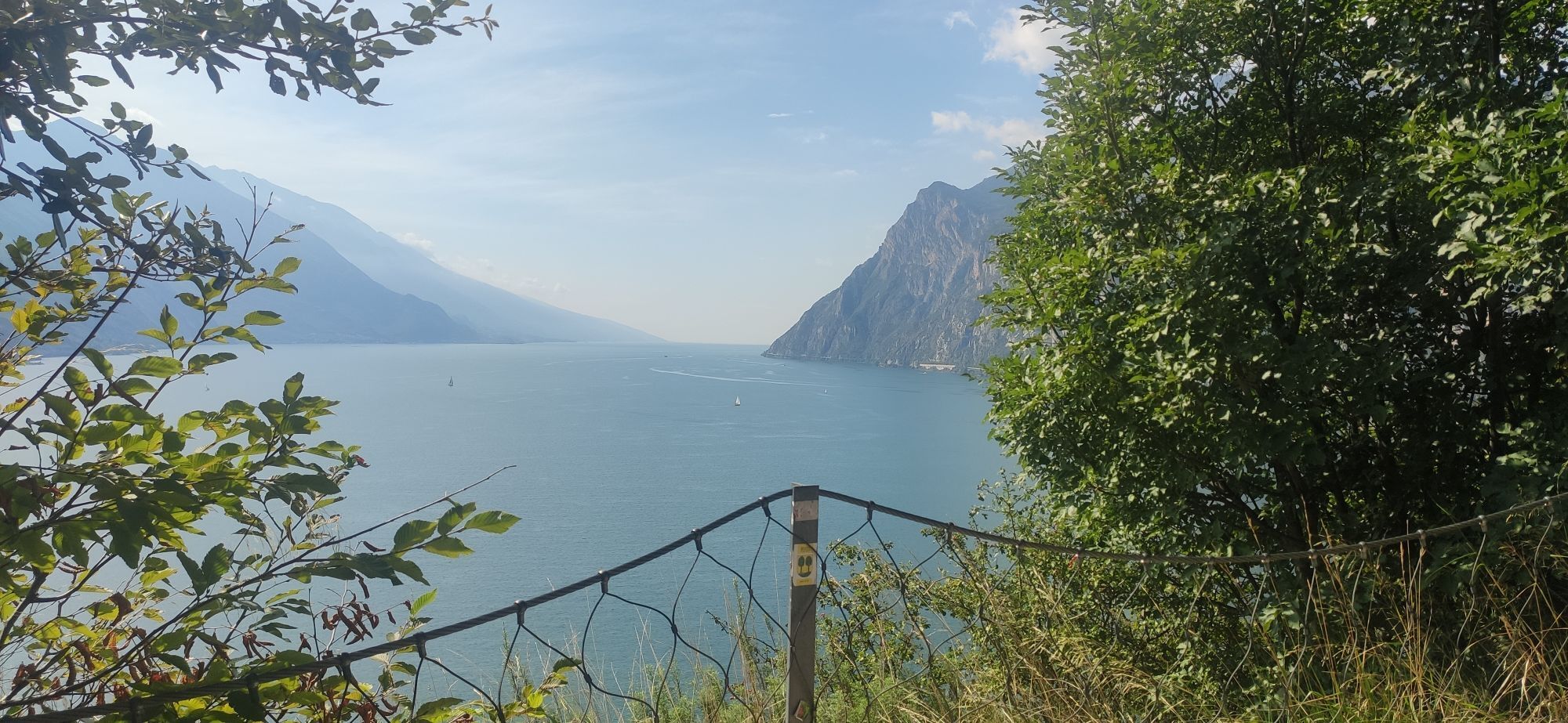
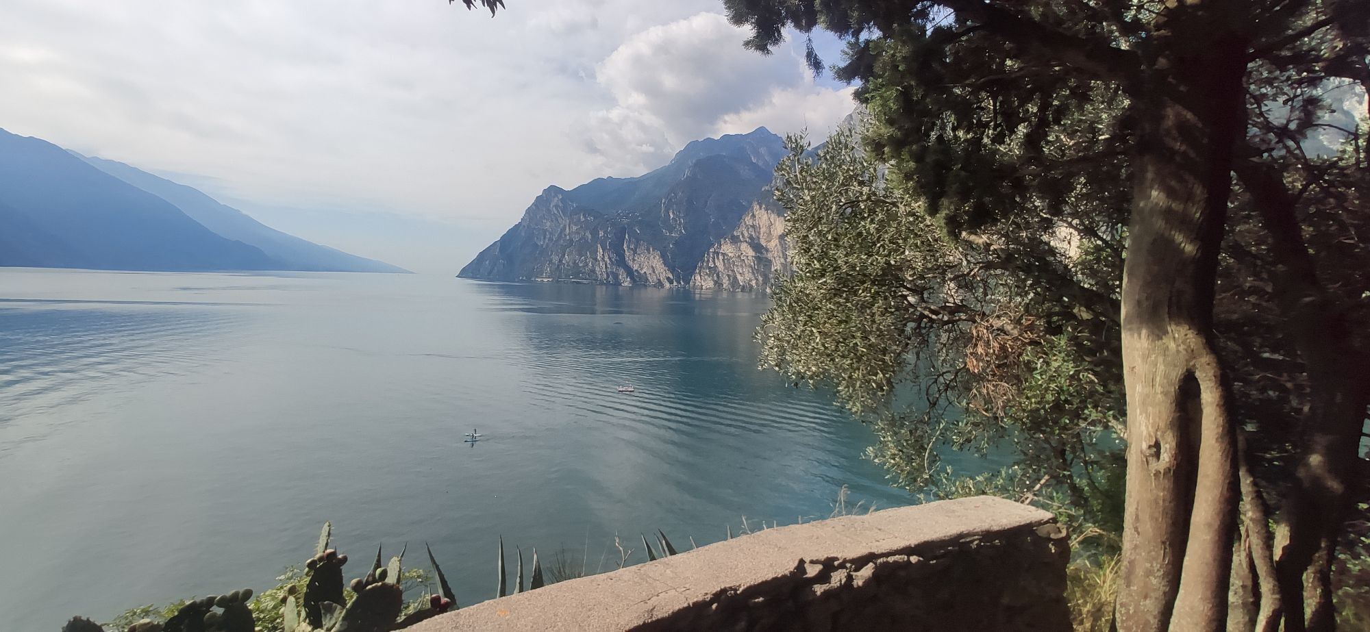
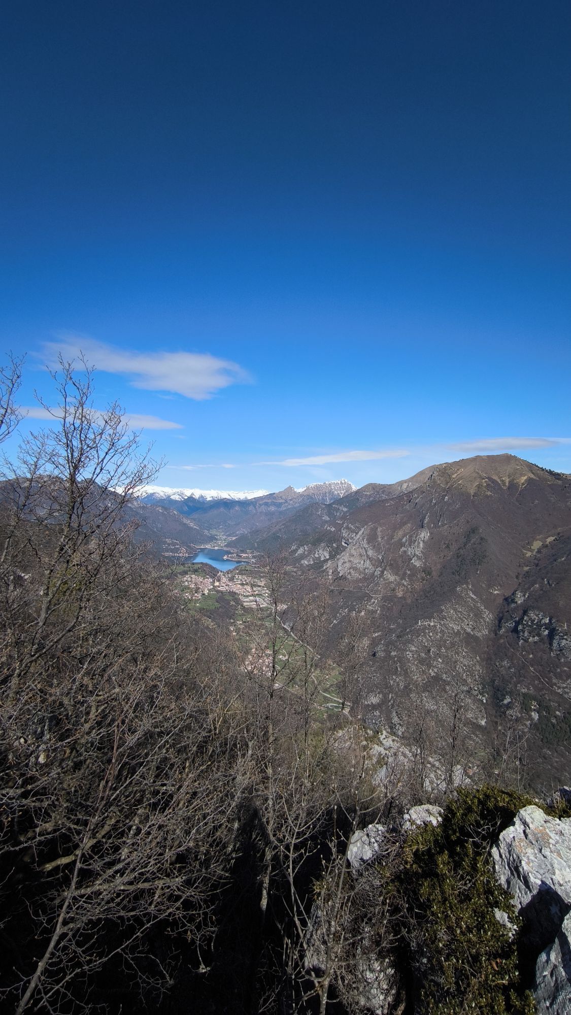
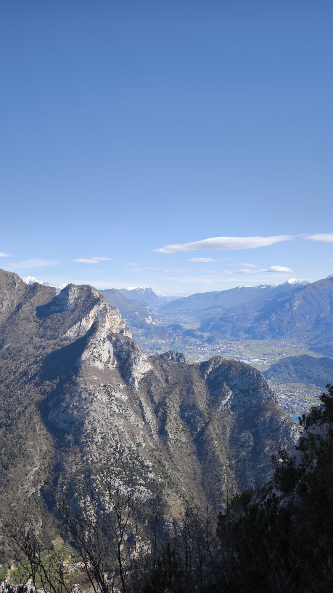
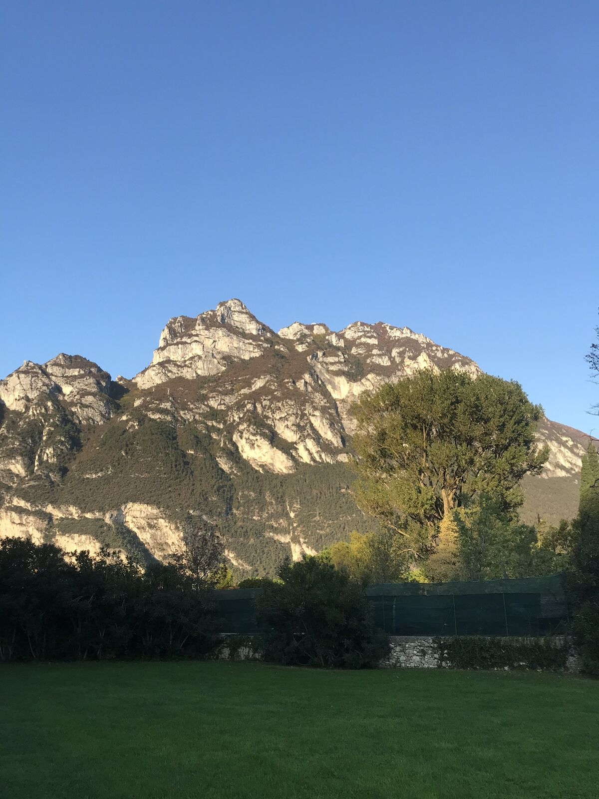
The fairly flat area to the north of Lake Garda is called “Busa” which means 'hole' in local dialect. The reason is self-explanatory: this part of Garda Trentino is surrounded by mountains so that it looks...
The fairly flat area to the north of Lake Garda is called “Busa” which means 'hole' in local dialect. The reason is self-explanatory: this part of Garda Trentino is surrounded by mountains so that it looks like a hole has been dug out of the landscape above the lake.
This is an itinerary which follows the perimeter of this area, running along cycle paths and back roads. The ideal trail for anyone interested in exploring this area of Garda Trentino by bicycle, enjoying the variety of landscape and passing through the little hamlets which are dotted around the countryside, away from the traffic of the main roads.
Along the way you will come across all manner of places of interest: attractions, monuments, restaurants and producers where you can always stop off to find out more or have a taste and learn about the history and traditions of Garda Trentino as well as the main players. Choose the theme you like best and start pedalling: you will discover that even the simplest route can be full of surprises.

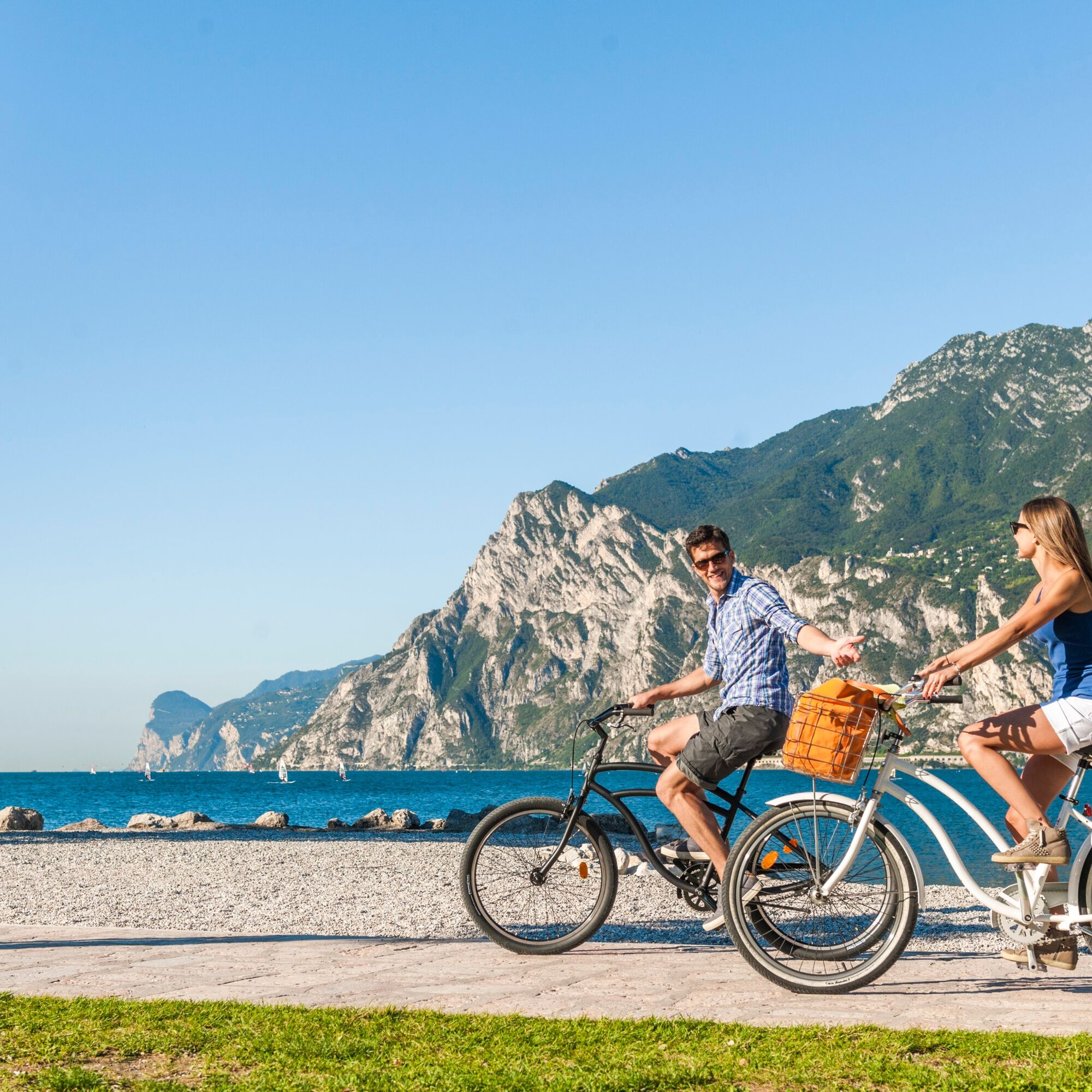
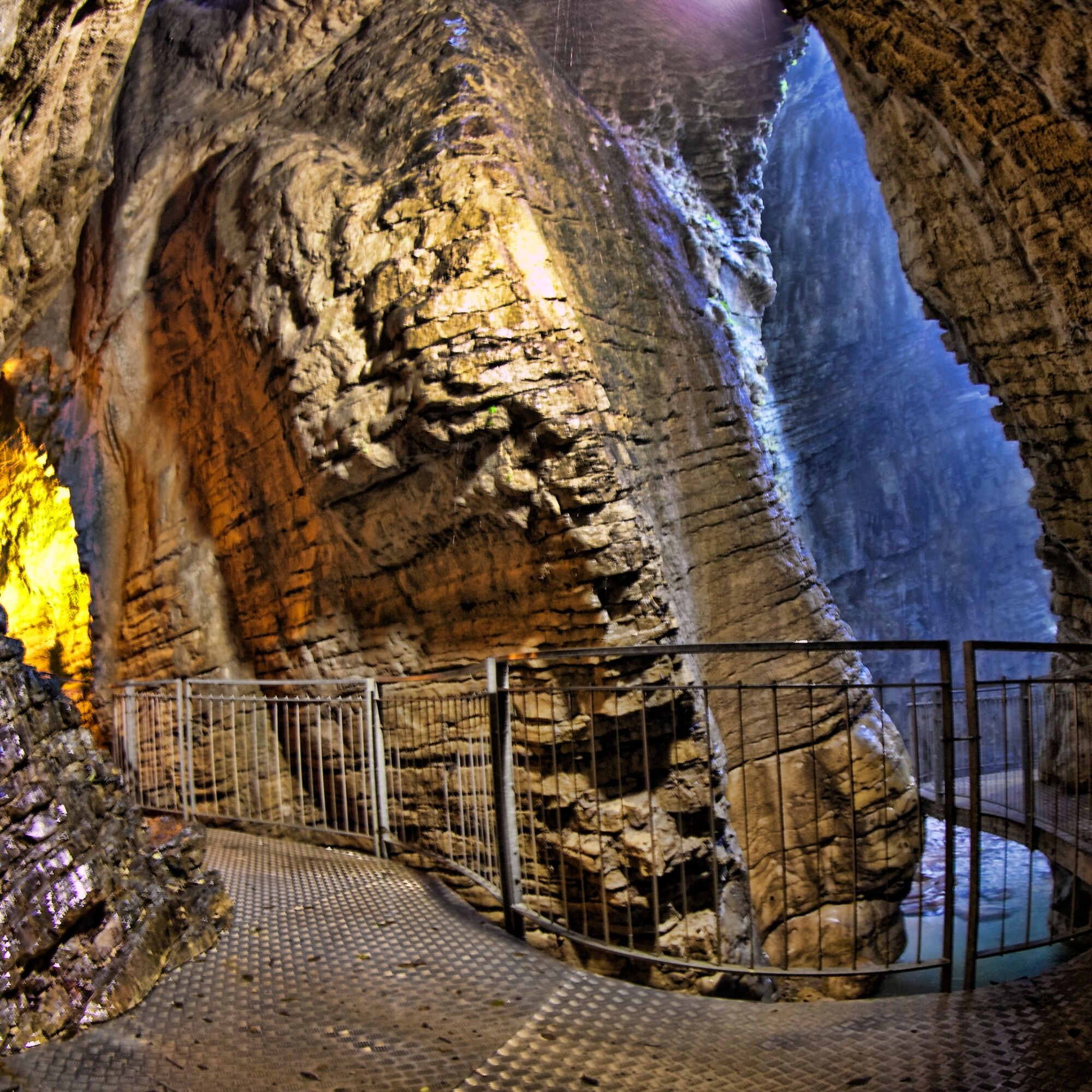
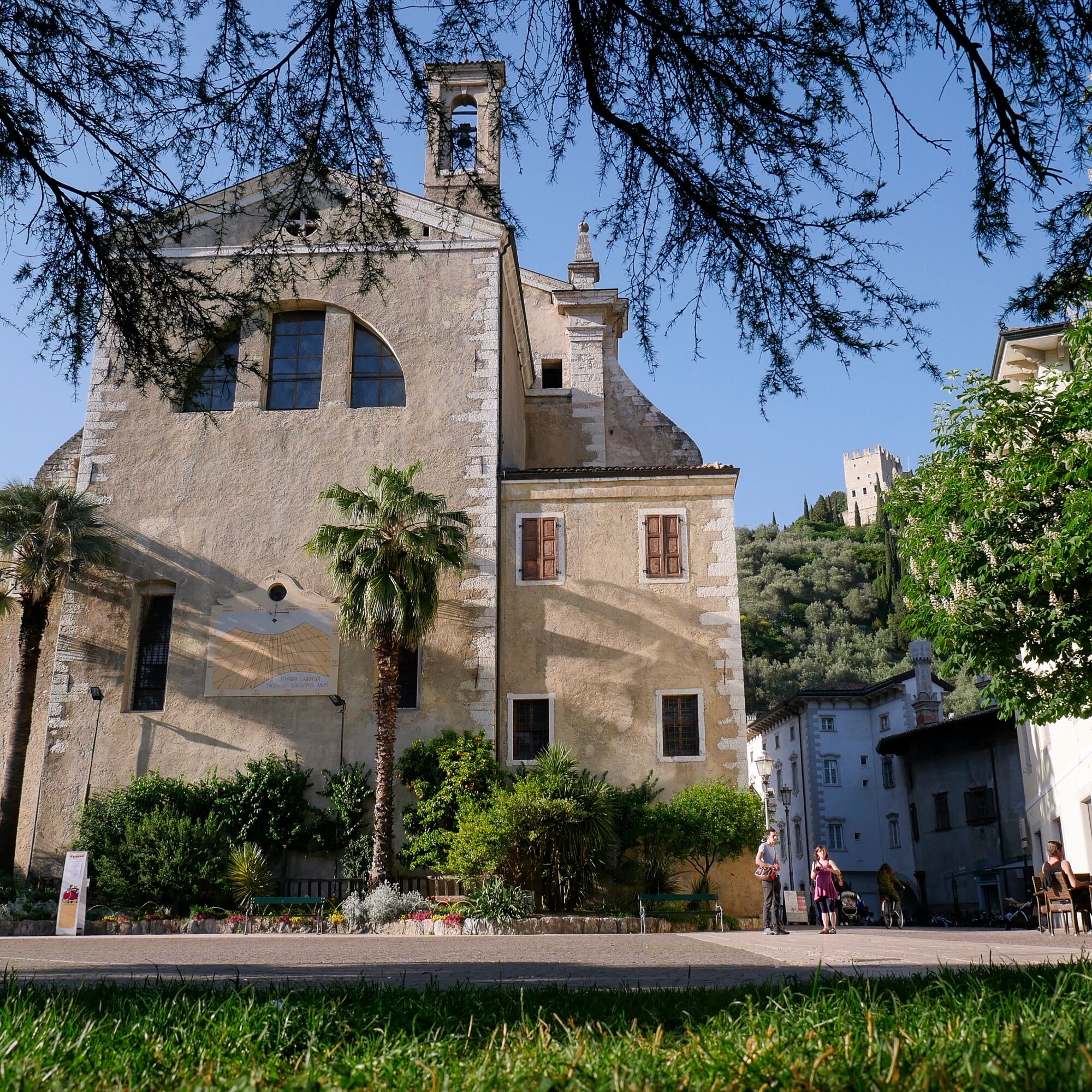
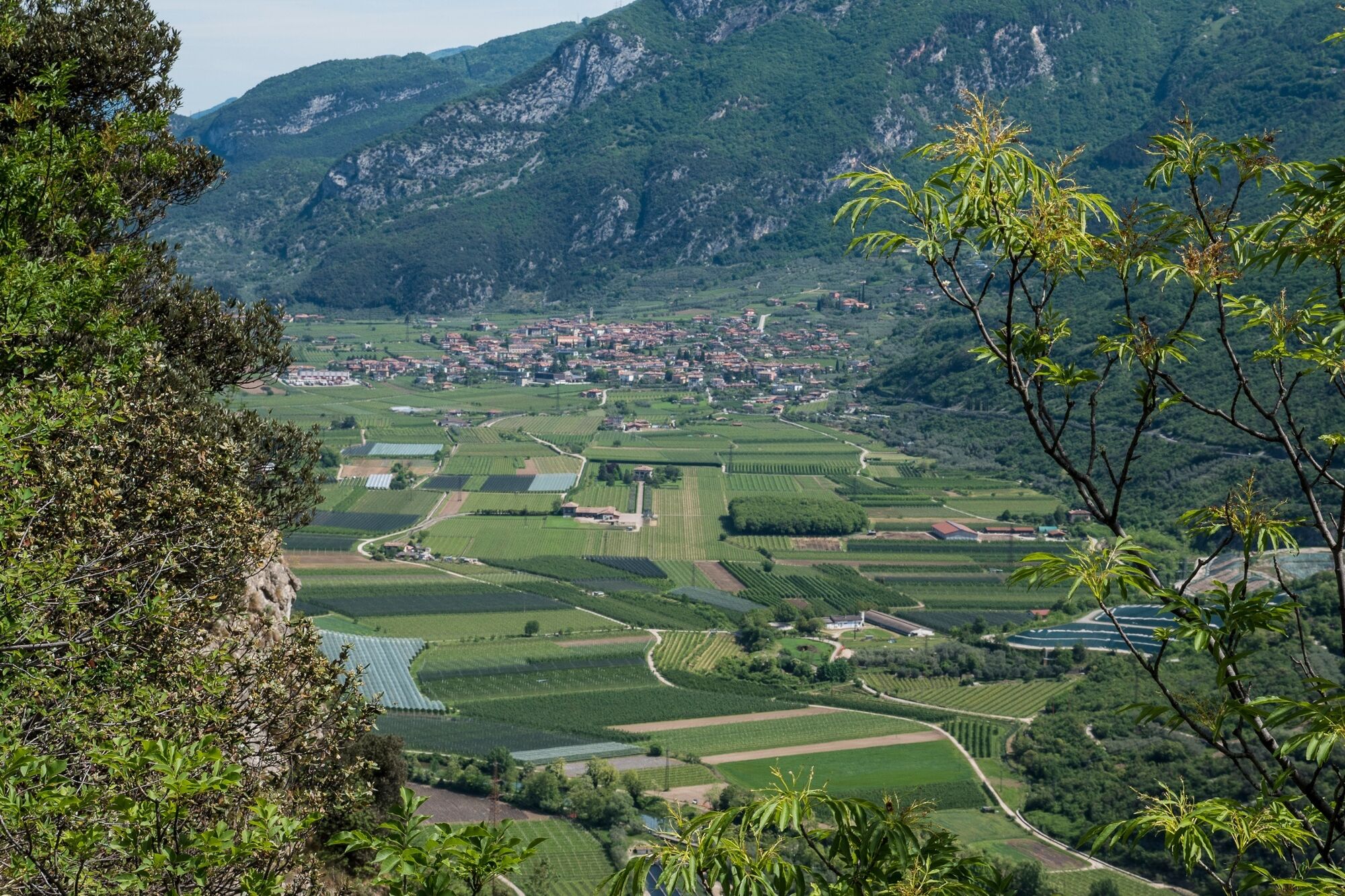
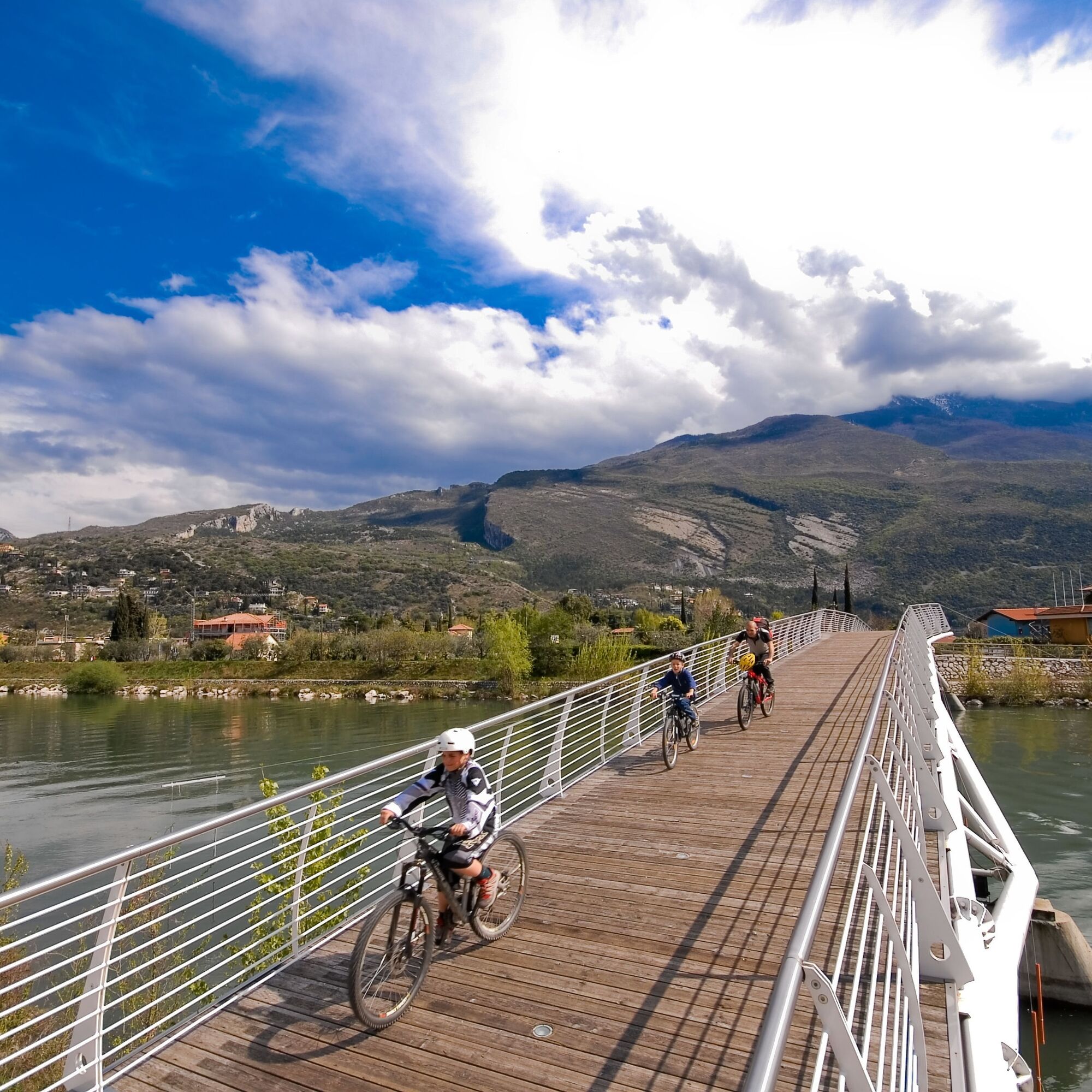

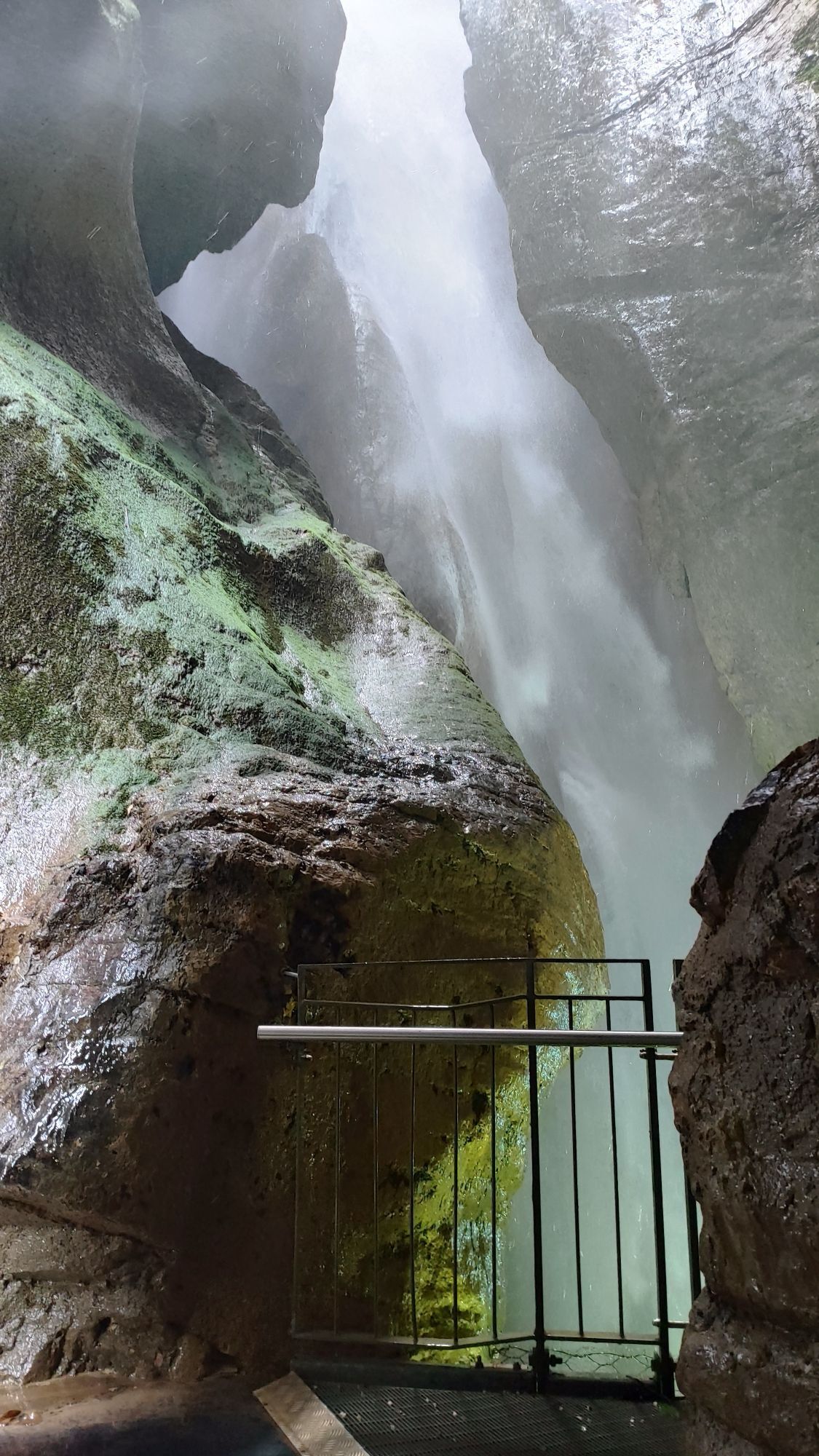
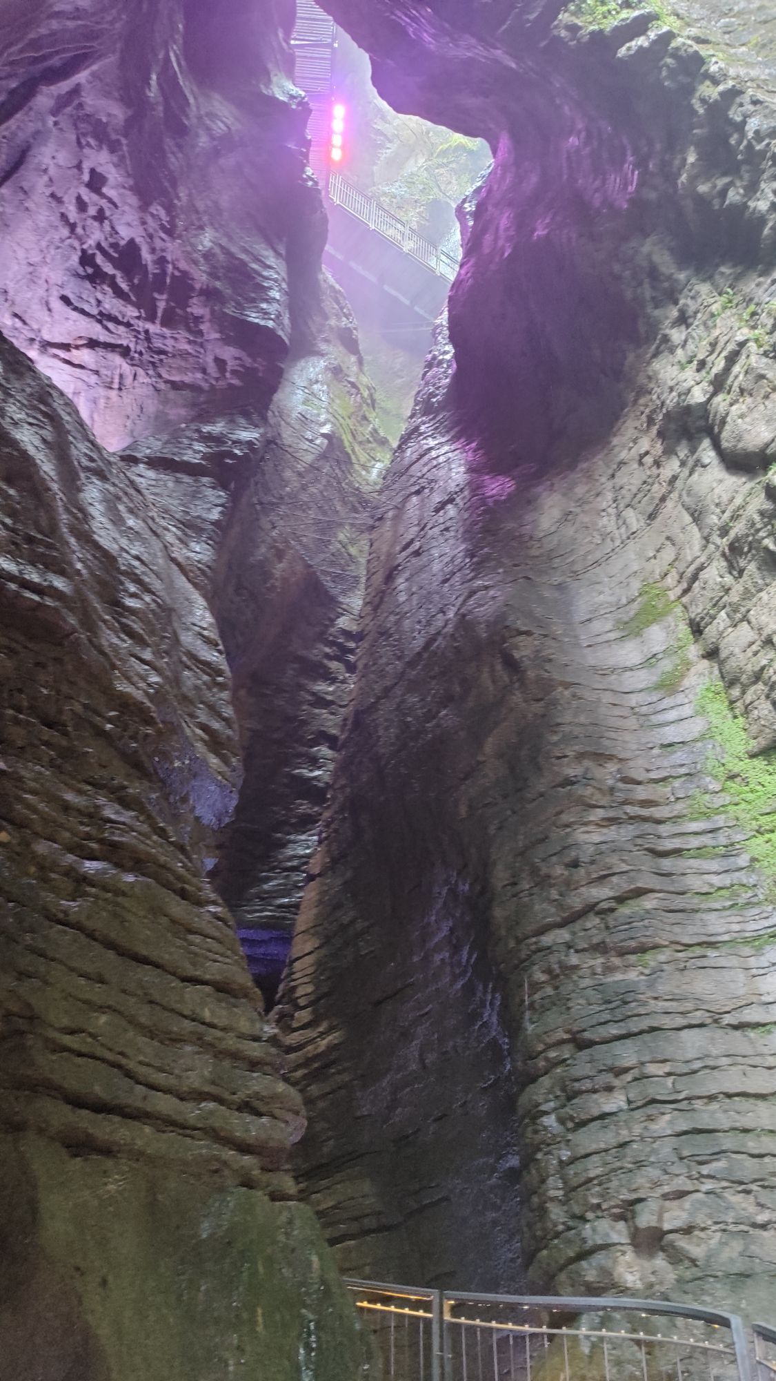
Set off from the tourist information office in the direction of the lake. You will need to push your bike for a short distance along the shore. Cross the bridge over the little River Albola and then turn left, heading north. Cross the road at the stop sign. Now you are on a protected cycle path. Keep on the track which continues beyond the next stop sign, following directions for Varone. The cycle path is completely paved and there are only gentle rises. When you pass the pedestrian crossing you have reached Varone. At the end of the cycle path turn left, then at the traffic lights turn right onto the cycle path at the side of the road which runs along the stream (the Varone). Soon after the cycle path comes to an end and you pedal uphill on the main road. Pass the waterfall Cascata del Varone, take the first road on the right in the direction of Arco (via Venezia). Head down the road and when you come to the only traffic lights, turn left and you soon come to Ceole. This is the start of a short downhill stretch which takes you to the convent of Madonna delle Grazie. At the stop sign turn left and cycle for a stretch along the main road; then take the first road on the left in the direction of San Giovanni al Monte, and turn immediately right into via San Giuseppe: you are crossing the district of Varignano. At the stop sign keep going straight, then take the first road on the right and, at the stop sign, turn left. You are now in Vigne, another little quarter of Arco.
Continue on down via Verdi through a portico, then turn right into via Passo Buole. This road takes you to Chiarano, another little quarter of the town. At the stop, turn left onto via Capitelli. Keep going until the road bends to the right: at this point you leave the main road and keep on straight down a tree-lined avenue (viale delle Magnolie) which takes you into the centre of Arco.
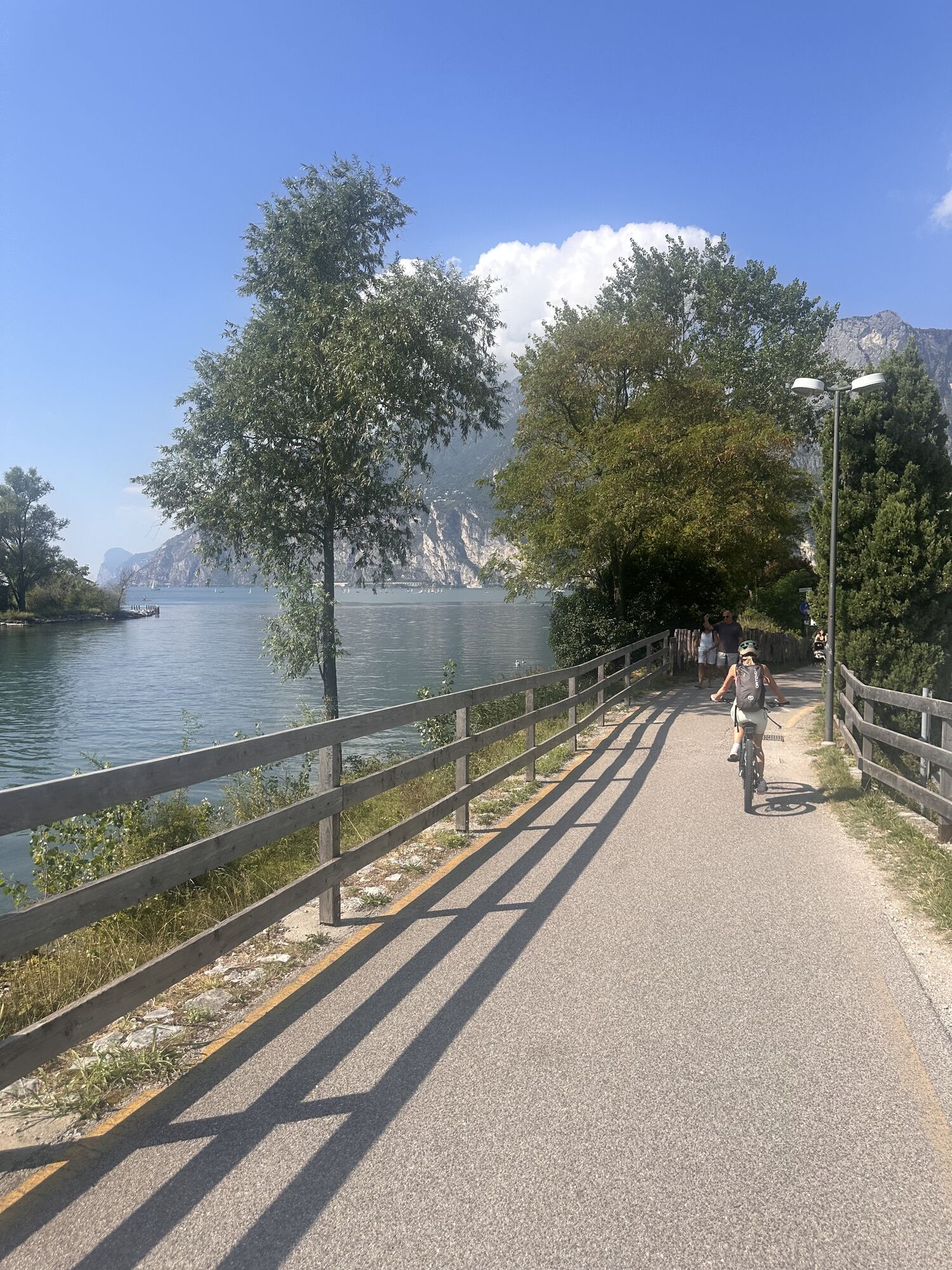
Leaving the church on your left, you pass in front of Bar Centrale. Here you turn right, staying on the right on the main road and then turn left (via delle Monache). Then take the second left which leads to the sports grounds. Change over to the right hand side here and follow directions for the cycle path. You soon come to the pedestrian-cycle path, wide and well kept, which runs along the River Sarca to where it flows into the lake near Torbole.
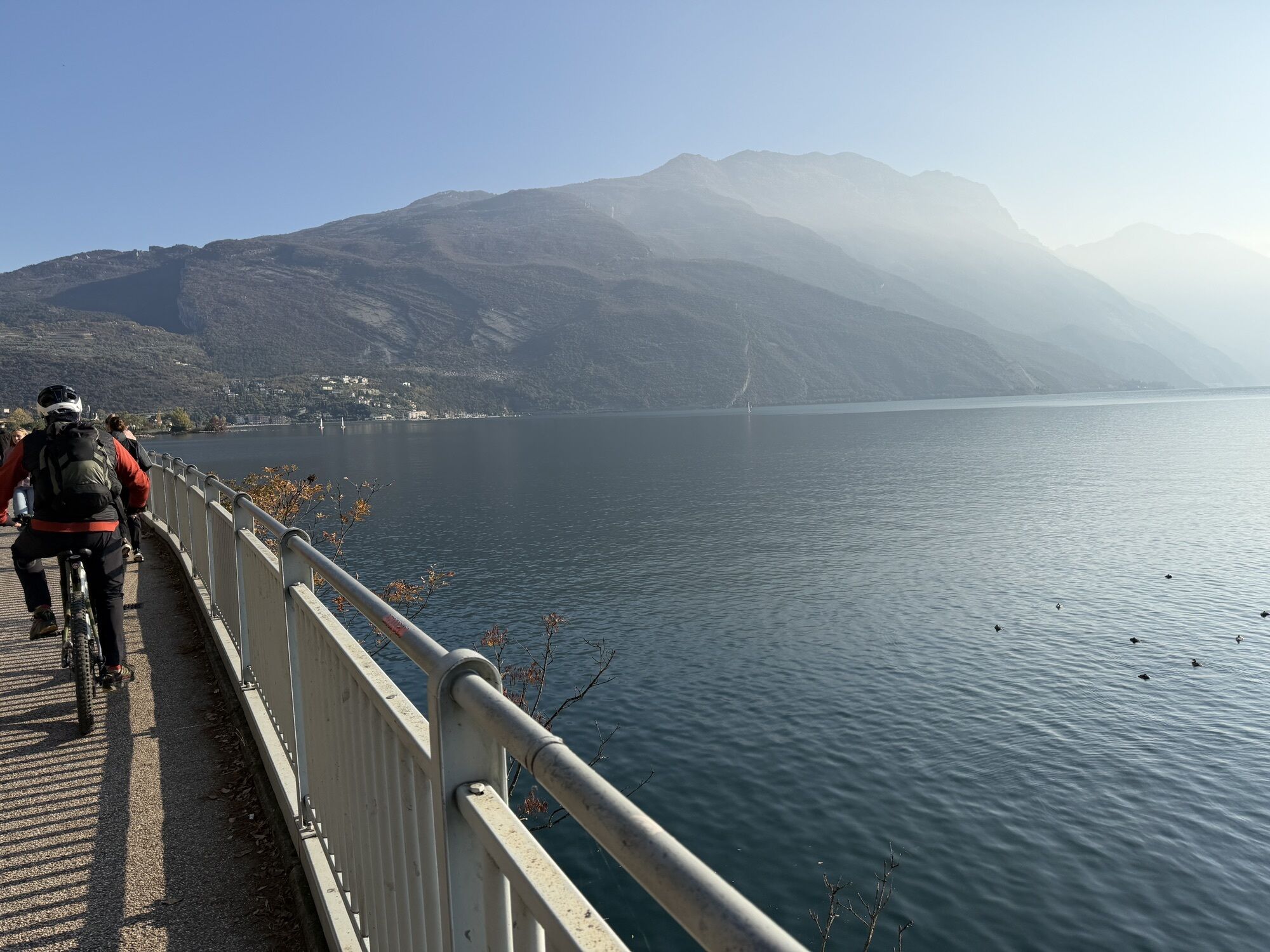
At the mouth of the river, turn right onto the lake shore which brings you to the spectacular section of the cycle path overhanging the lake. When you come to the harbour of San Nicolò keep following directions for the cycle path. The final section runs along the beach of Riva del Garda and takes you back to where you started from.
Da
Riding your bike requires specific clothing and equipment, even for relatively short and easy trips. It is always better to be prepared… e.g. for bad weather or a sudden drop in your energy levels. The unexpected things are part of the fun!
Remember to thoroughly evaluate the type of route you plan on doing, the locations you intend to cross and the current season. Has it been raining? Attention: The paths may be slippery and require more caution.
What do I need to bring on my bike tour?
An adequate water supply according to your needs (considering temperature, possibility of refuelling and duration of the route) Plenty of snacks (for example, dried fruit or energy bars) Waterproof / Windproof jacket A spare top / spare socks (Descending in a sweaty garment, will make you cold). Suncream Sunglasses Bike gloves/mitts Map or GPS device Bike lights: best placed on your helmet or handlebars. (It is always best to be prepared) Bike repair kit for punctures and mechanical breakdowns First aid kit Emergency whistleIt is always advised to let someone know where you plan to go and how long you expect to be.
Emergency telephone number 112.
Safety Tips
Always wear your helmet. Plan your ride. Obey the road signs, stop at traffic lights and do not ride on the wrong side of the road. You share the trail with other users. Yield right of way to hikers. Respect public and private property. Do not cycle solo in remote areas. Make sure your bike lights are working.This information is subject to inevitable variations, so none of these indications are absolute. It is not entirely possible to avoid giving inexact or imprecise information, given how quickly environmental and weather conditions can change. For this reason, we decline any responsibility for changes which the user may encounter. In any case, it is advisable to check environment and weather conditions before setting out.
Riva del Garda is easily accessible (about 18 km) from the Rovereto Sud - Lago di Garda Nord motorway exit.
Getting to northern lake Garda / Garda Trentino
The towns in Garda Trentino - Riva del Garda, Torbole sul Garda and Arco – are connected by several urban and intercity bus lines which will take you to the starting point or in the immediate surroundings.
For up-to-the-minute information on timetables and routes
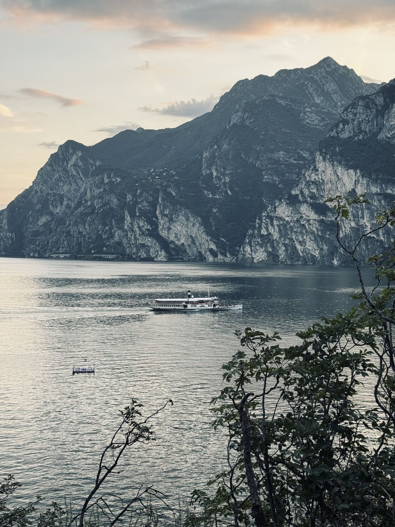
You can also get to Riva del Garda and Torbole sul Garda by the public ferry service.
Free parking near the former hospital (Via Rosmini).
Paid parking: Terme Romane (Viale Roma), Vecchia stazione (Largo Medaglie d’Oro), Ex-agraria (Via Lutti).
1
You’ve already picked your cycling route—now all you need is the right support. Discover all the Bike Specialists in Garda Trentino: rentals, repair shops, and dedicated bike stores are ready to welcome you right here.
Don't forget your camera. There is no end of places to take souvenir photos. And please feel free to share your memories with #GardaTrentino



Spletne kamere s turneje


Priljubljeni izleti v okolici
- 5,0
Via Ferrata Signora delle Acque - Rio Ruzza
težkoVia ferrata 5,32 km - 5,0
Bastione and Santa Barbara, the lords of Riva del Garda
srednjaPohodništvo 2,94 km - 4,9
Via Ferrata dell’Amicizia - Cima SAT
srednjaVia ferrata 4,41 km - 4,8
Bocca Fortini - Tour
težkoMountainbike 35,4 km - 4,8
Via Ferrata Rio Sallagoni
srednjaVia ferrata 2,75 km - 4,8
Sentiero Busatte Tempesta
svetlobaPohodništvo 7,90 km - 4,8
Via Ferrata Fausto Susatti - Cima Capi (from Ledro)
srednjaVia ferrata 7,11 km - 4,6
Via Ferrata delle Laste e Gallerie di Cima Rocca
svetlobaVia ferrata 6,38 km - 4,6
Walking around Lake Ledro
svetlobaPohodništvo 9,40 km - 4,8
Ponale Path (from Ledro)
srednjaPohodništvo 10,8 km

Pohodništvo in sledenje


Ne zamudite ponudb in navdiha za naslednje počitnice
Vaš e-poštni naslov je bil dodan na poštni seznam.





