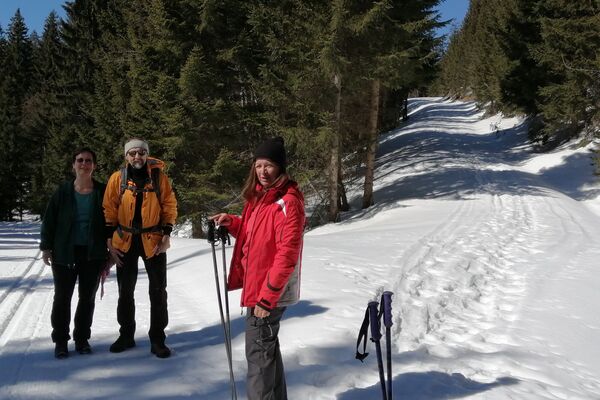
© Defrancesco
Datumi turnej
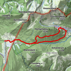
9,21km
746
- 775m
21hm
20hm
03:00h

- Težavnost
-
enostavno
- Ocenjevanje
-
- Izhodiščna točka
-
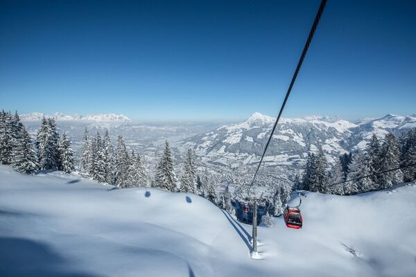
Centre of Waidring
- Pot
-
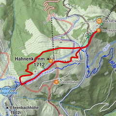
WaidringWaidring9,1 km
- Najboljša sezona
-
avgsepoktnovdecjanfebmaraprmajjunjul
- Najvišja točka
- 775 m
- Destinacija
-
Centre of Waidring
- Počitek/Umik
-
Gasthof Strub
- Gradivo za zemljevid
-
Hiking map are available in all touristoffice´s of the PillerseeTal
- Informacijski telefon
-
0043.5354.56304
- Link
- https://maps.pillerseetal.at/v2/de/gdi_summer/2...
- Ti
- TVB PillerseeTal
GPS Downloads


Več izletov v regijah
-
Pillerseetal
185
-
Waidring
37