







Circular hiking trail Längenfeld/Huben - Längenfeld 200

Stopnja težavnosti: 1
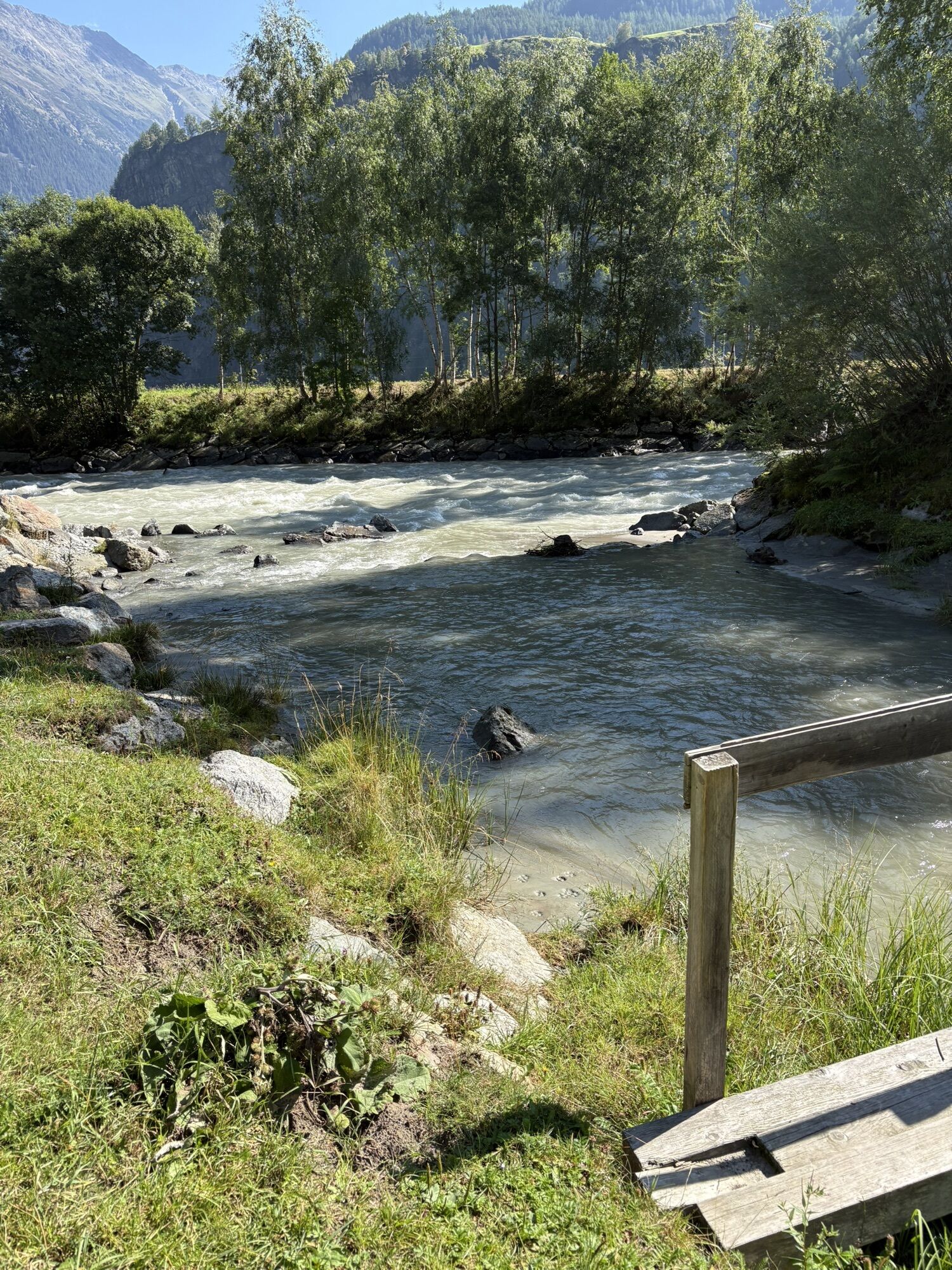
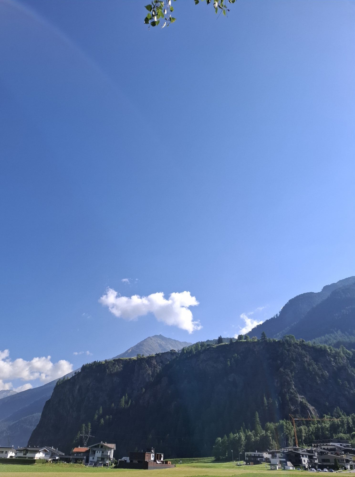
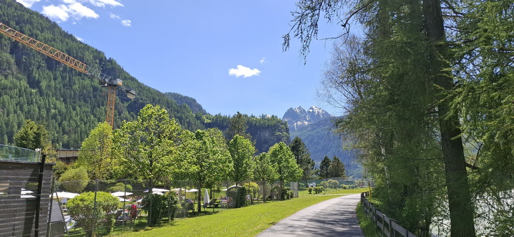
The sports center Längenfeld serves as the starting point for this circular hike. At the beginning, you hike a short stretch along the Ötztaler Ache past the thermal spa 'Aqua Dome'. At the first fork,...
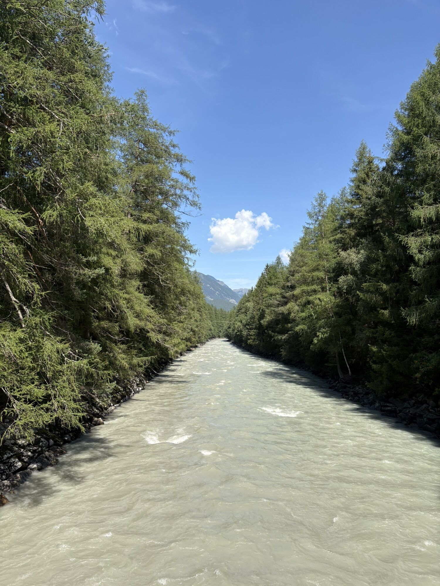
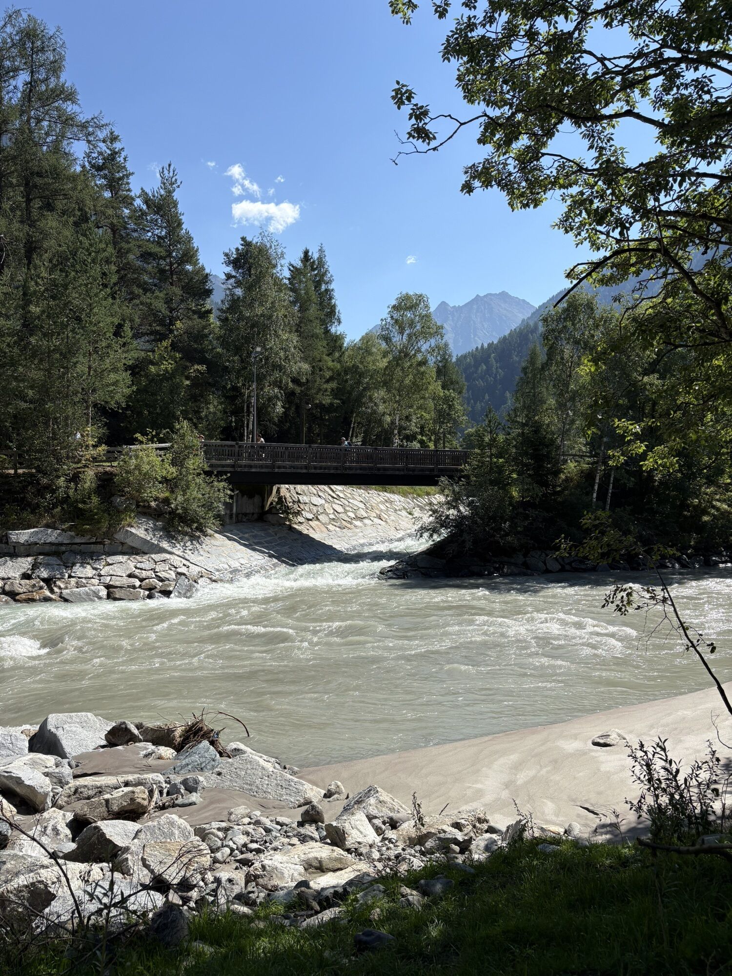
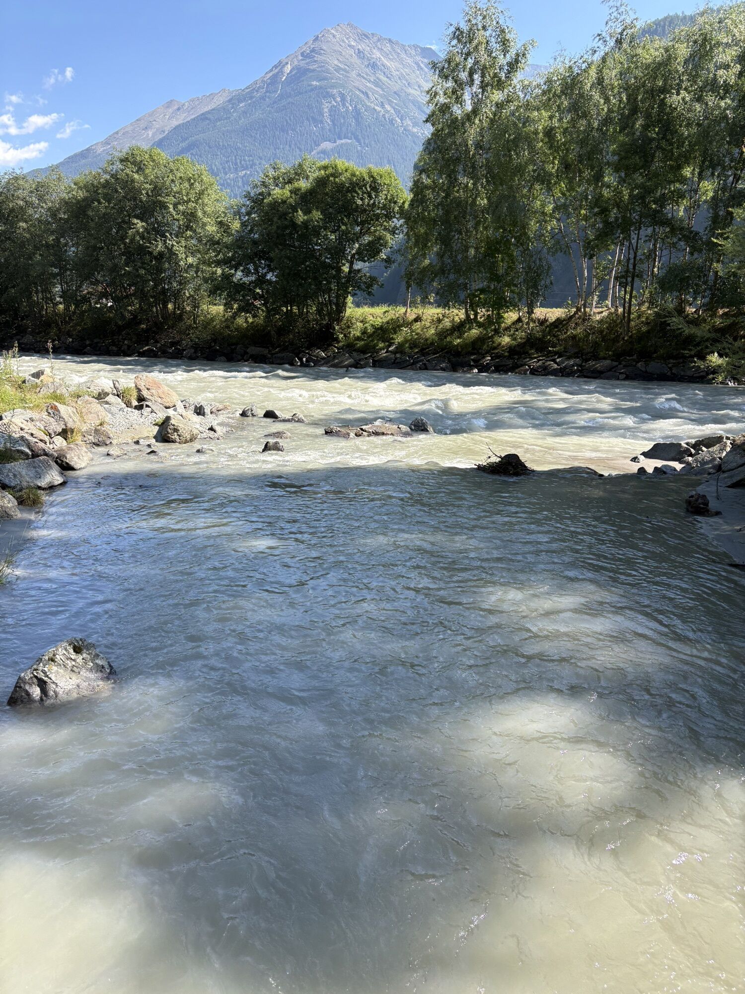
The sports center Längenfeld serves as the starting point for this circular hike. At the beginning, you hike a short stretch along the Ötztaler Ache past the thermal spa 'Aqua Dome'. At the first fork, keep left until you reach the access road to the spa. On the right side, a small chapel comes into view. Directly past it, the winter hiking trail passes the hamlet of Astlehn to Runhof. Here, the path leads right past a few houses to the bridge. This bridge is not crossed but the path follows the Ötztaler Ache upstream to Huben. There, you cross the bridge and hike back on the other side of the river to Runhof. At this point, you change riverbanks and hike along the river back to Längenfeld.

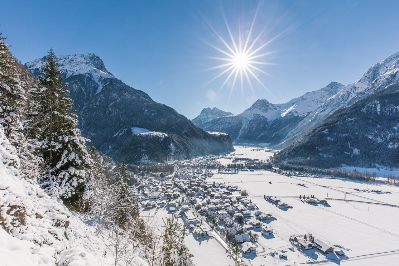
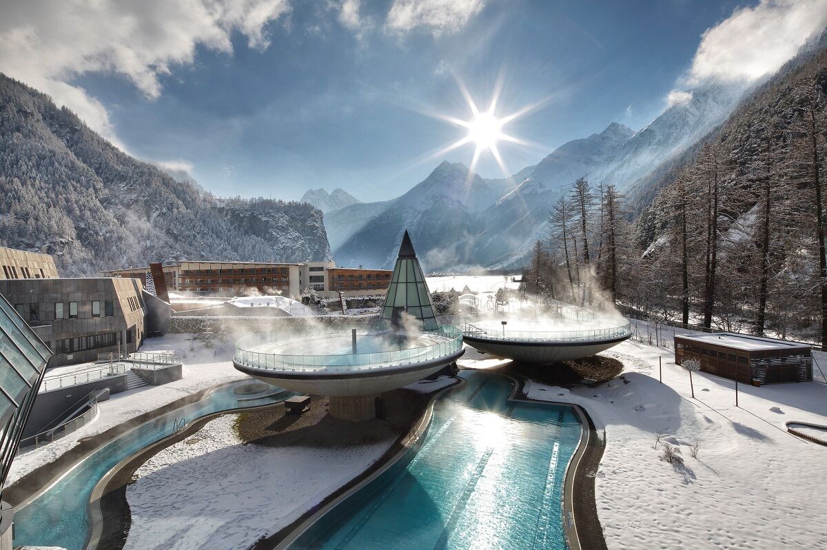

From the sports center, you initially pass by the Aqua Dome. A beautiful winter hiking trail runs along the meadows to Runhof. From there, follow the Ötztaler Ache upstream towards Huben. The return route is on the opposite side of the river back to Längenfeld.
Da
Appropriate equipment such as breathable and weather-appropriate outdoor clothing is required for all hikes and routes.
Please note the current snow and avalanche report for the coming days: https://www.oetztal.com/de/ & https://lawinen.report/bulletin/latest
The Ötztal Tourism team will be happy to personally inform you about the condition of the winter hiking trails.
Ötztal Tourism T +43 5 72 00 300 - info@laengenfeld.com
The drive to ÖTZTAL
Travelers arrive by car via the Inn Valley to the valley entrance and then continue along the Ötztal. In addition to the toll motorway, country roads can also be used. The route planner lets you determine your trip quickly and conveniently. To the route planner: https://www.google.at/maps
Travel comfortably and safely by train. The final station or exit point is the ÖTZTAL train station. Afterwards, you can conveniently and quickly travel through the entire valley to your desired destination using public transport or local taxi companies. The current bus schedule is available at: http://fahrplan.vvt.at
The following parking options are available in Längenfeld:
Sports center Längenfeld – (ice rink) – free of charge Opposite Ötztal Tourism (small number of parking spaces) free of charge1
More information about winter hiking in the Ötztal: https://www.oetztal.com/winterwandern

Spletne kamere s turneje

Priljubljeni izleti v okolici
-
4.7
Winnebachsee Hut – Längenfeld/Gries
srednjaPohodništvo 4.74 km -
4.7
Winter circular route Brandalm/Burgstein - Längenfeld 204
srednjaZimsko pohodništvo 5.44 km -
4.4
Hike Stuibenfall - Umhausen
svetlobaPohodništvo 2.95 km -
4.3
Stuibenfall Umhausen circular hike
svetlobaPohodništvo 9.32 km -
4.4
Rundwanderung Hängebrück3
svetlobaPohodništvo 6.32 km -
4.4
Hohe Geige über Gawinden und den Westgrat
težkoPohodništvo 14.3 km -
4.3
Umhausen - Stuibenfall - Umhausen
srednjaPohodništvo 7.94 km -
4.3
Amberger Hut - Längenfeld/Gries
srednjaPohodništvo 5.60 km -
4.6
Circular hike Bergmahderweg - Niederthai
svetlobaPohodništvo 7.60 km -
5.0
Hoher Seeblaskogel 3235m - Längenfeld/Gries
težkoPohodništvo 8.38 km

Pohodništvo in sledenje


Ne zamudite ponudb in navdiha za naslednje počitnice
Vaš e-poštni naslov je bil dodan na poštni seznam.





