







Varied hike along the Adolf Pichler path
Stopnja težavnosti: T1
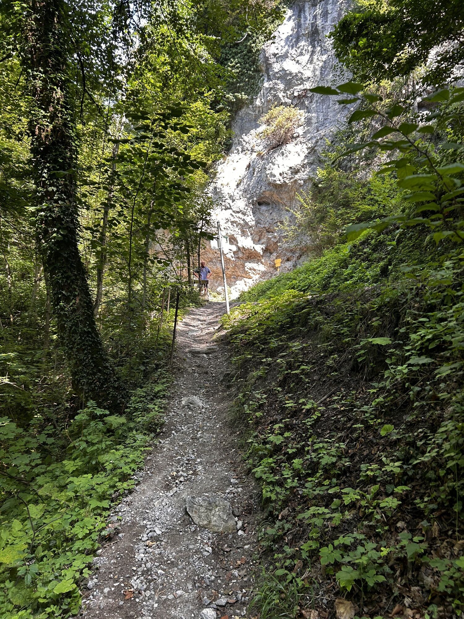
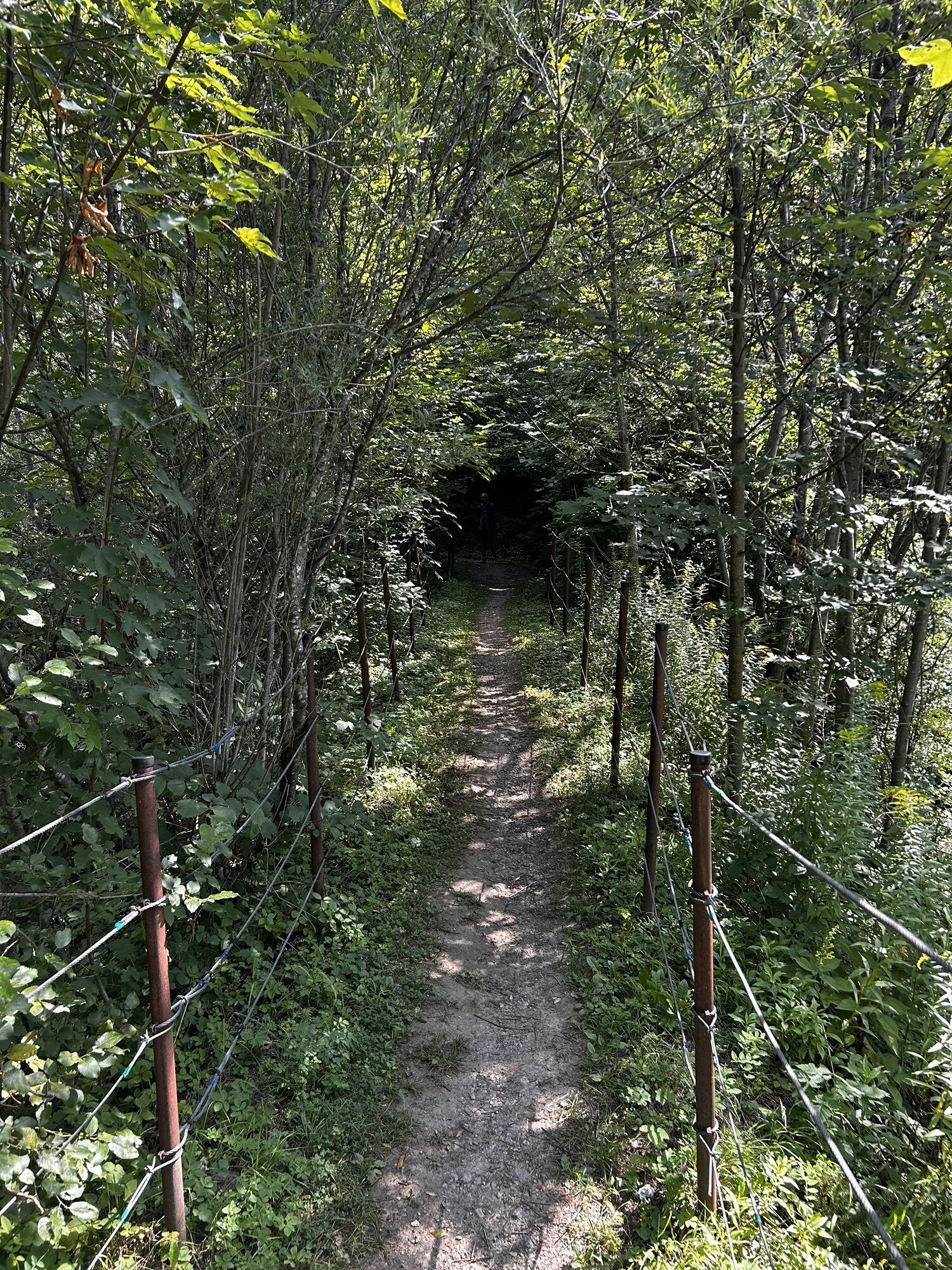
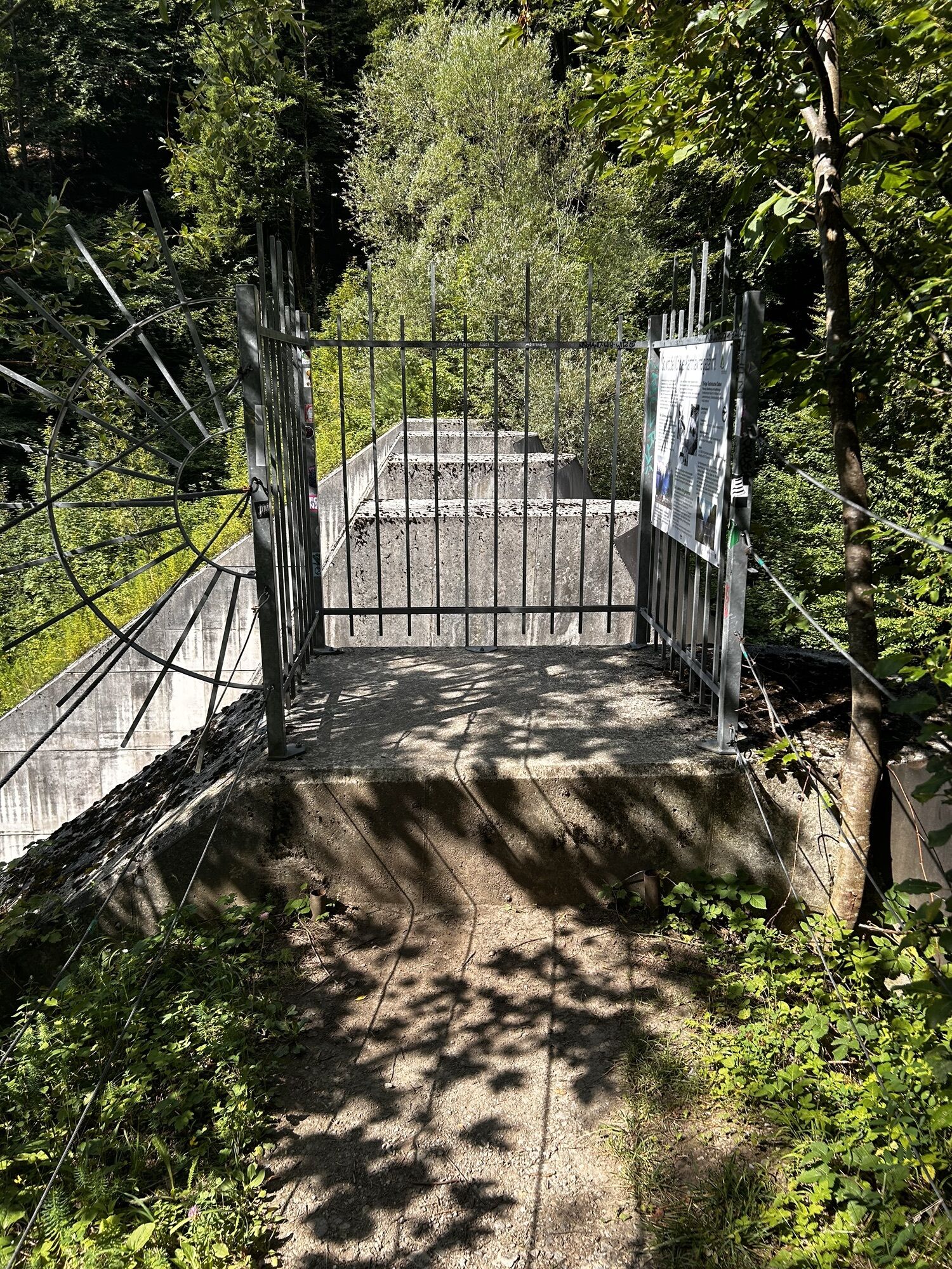
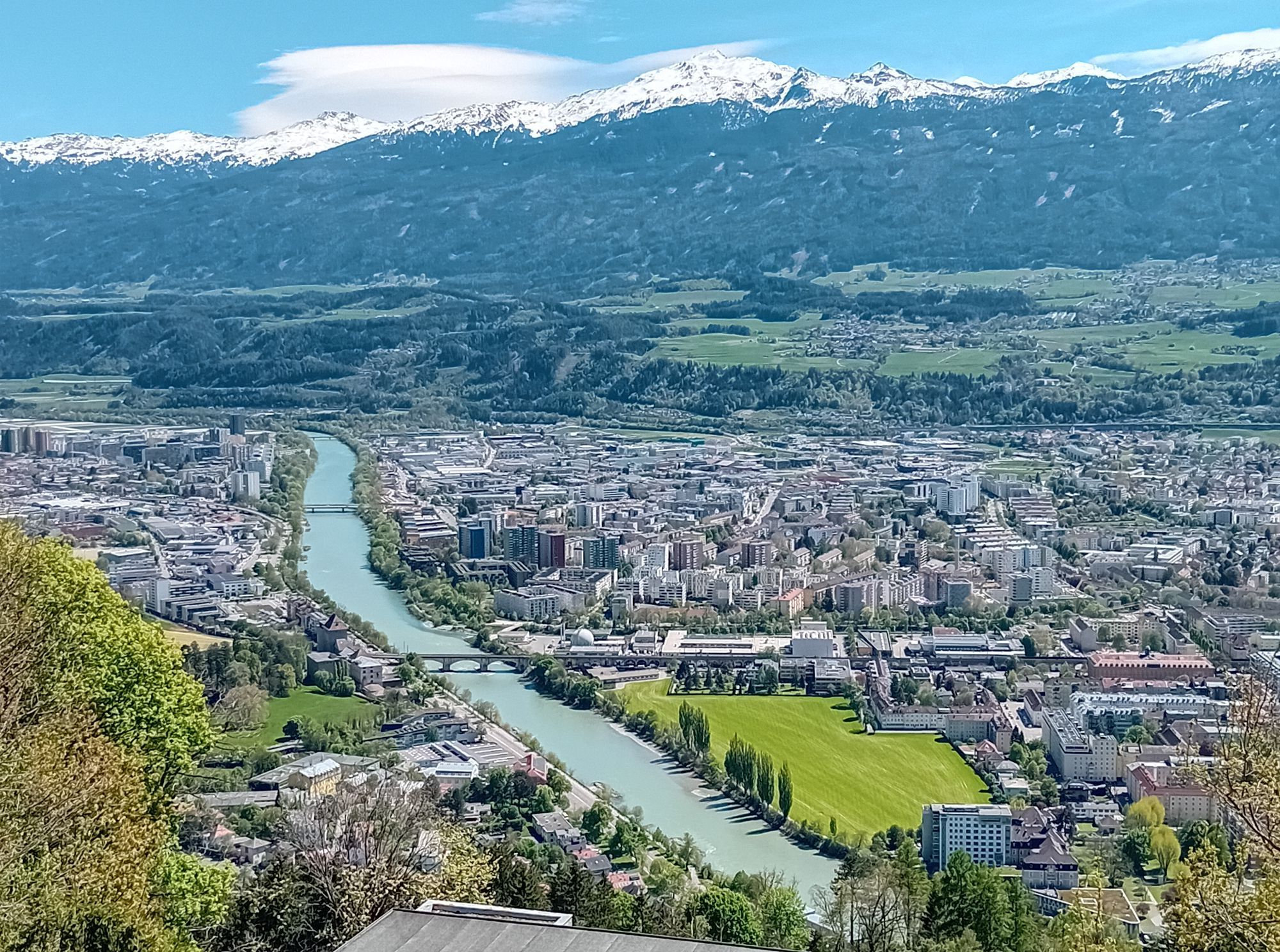
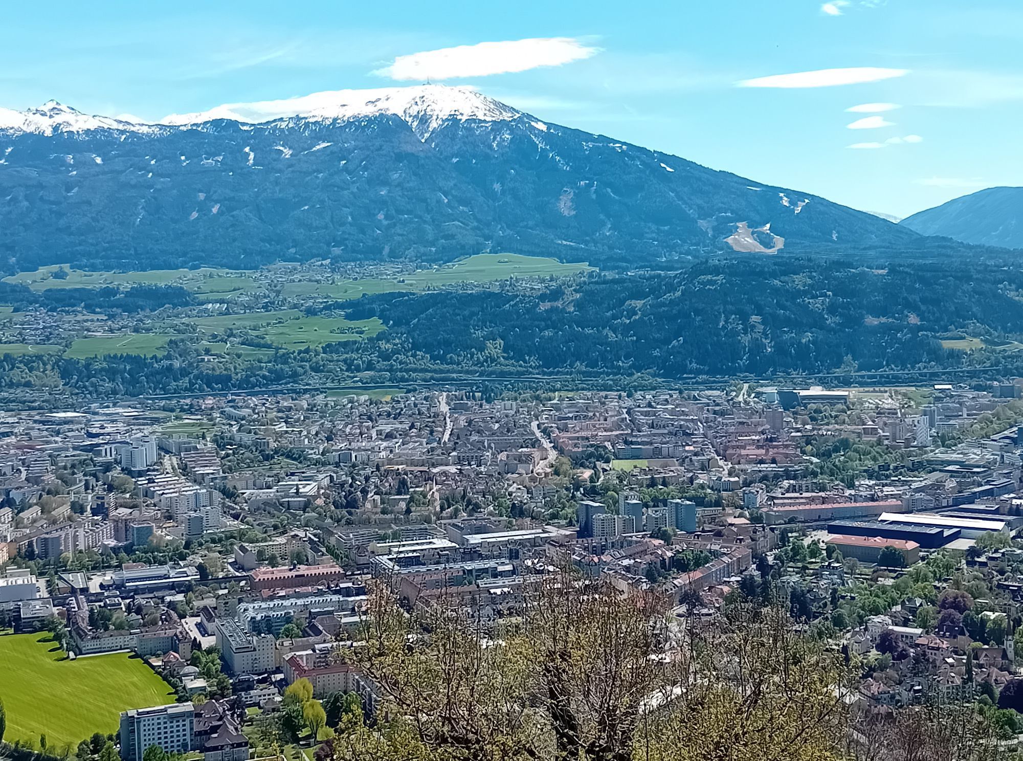
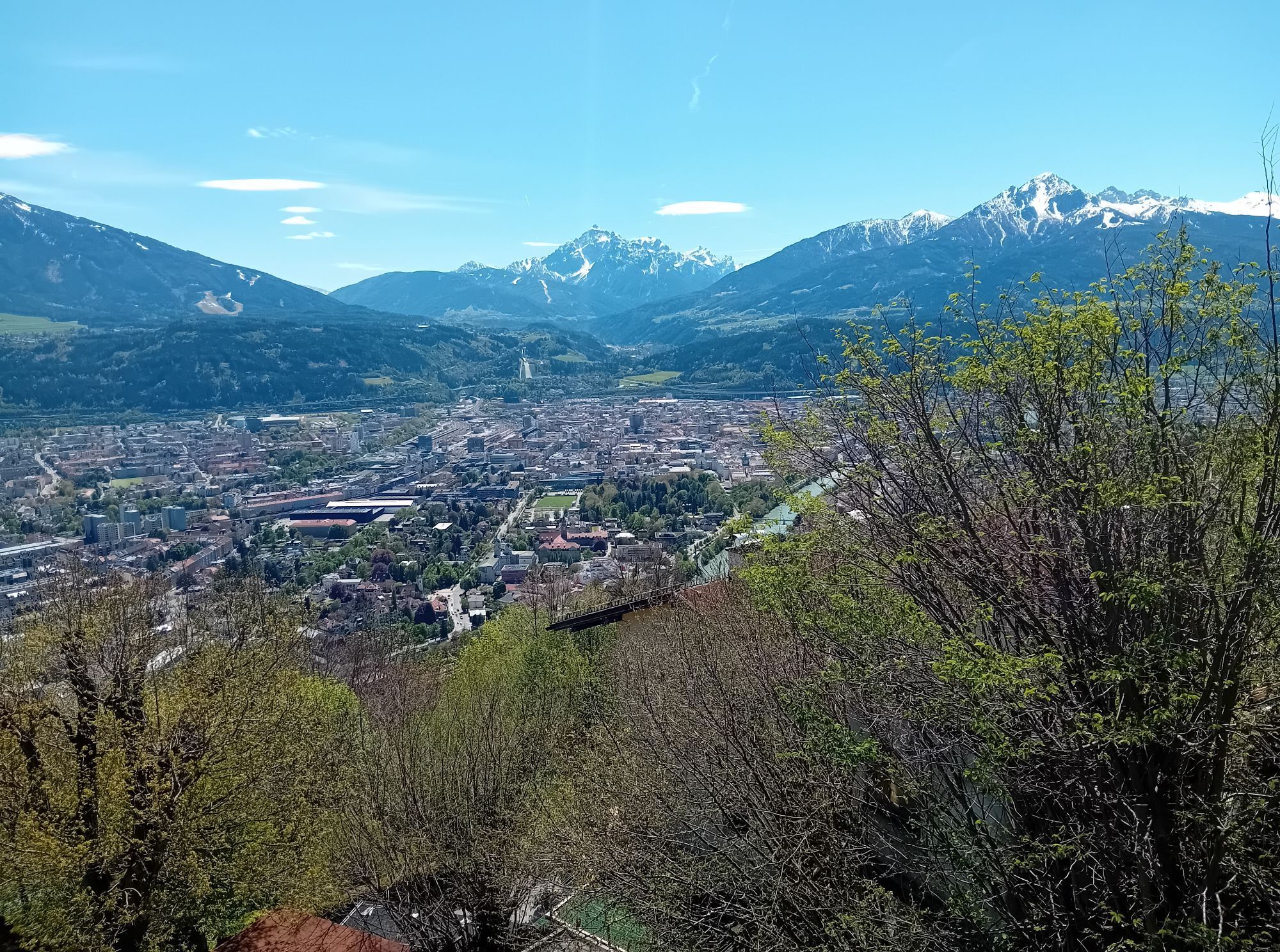
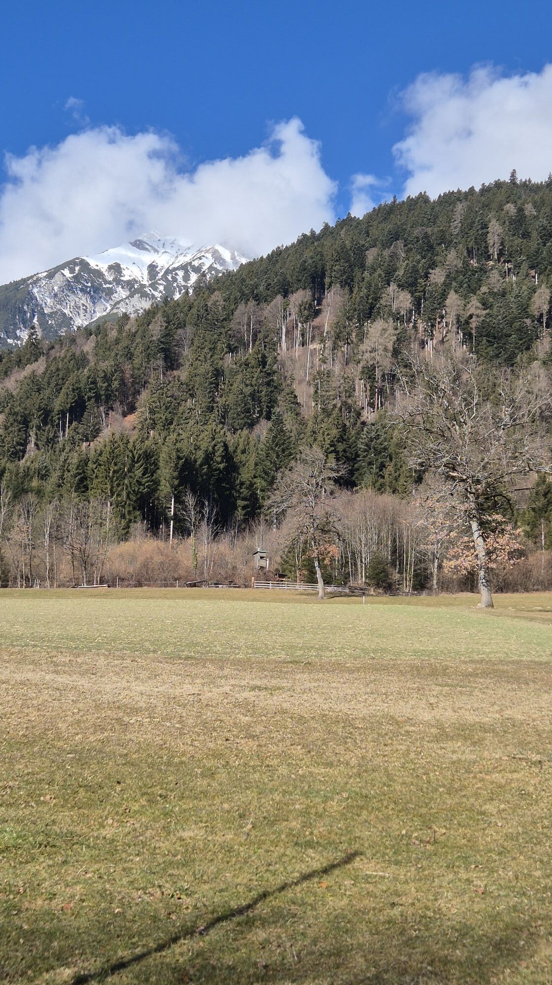
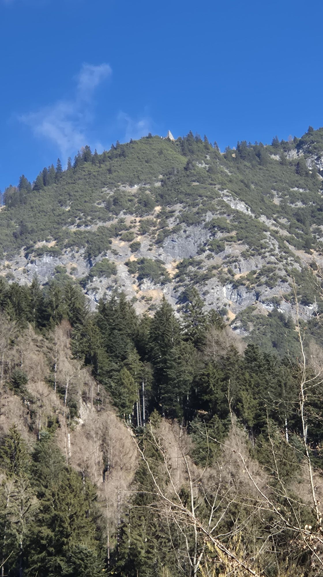
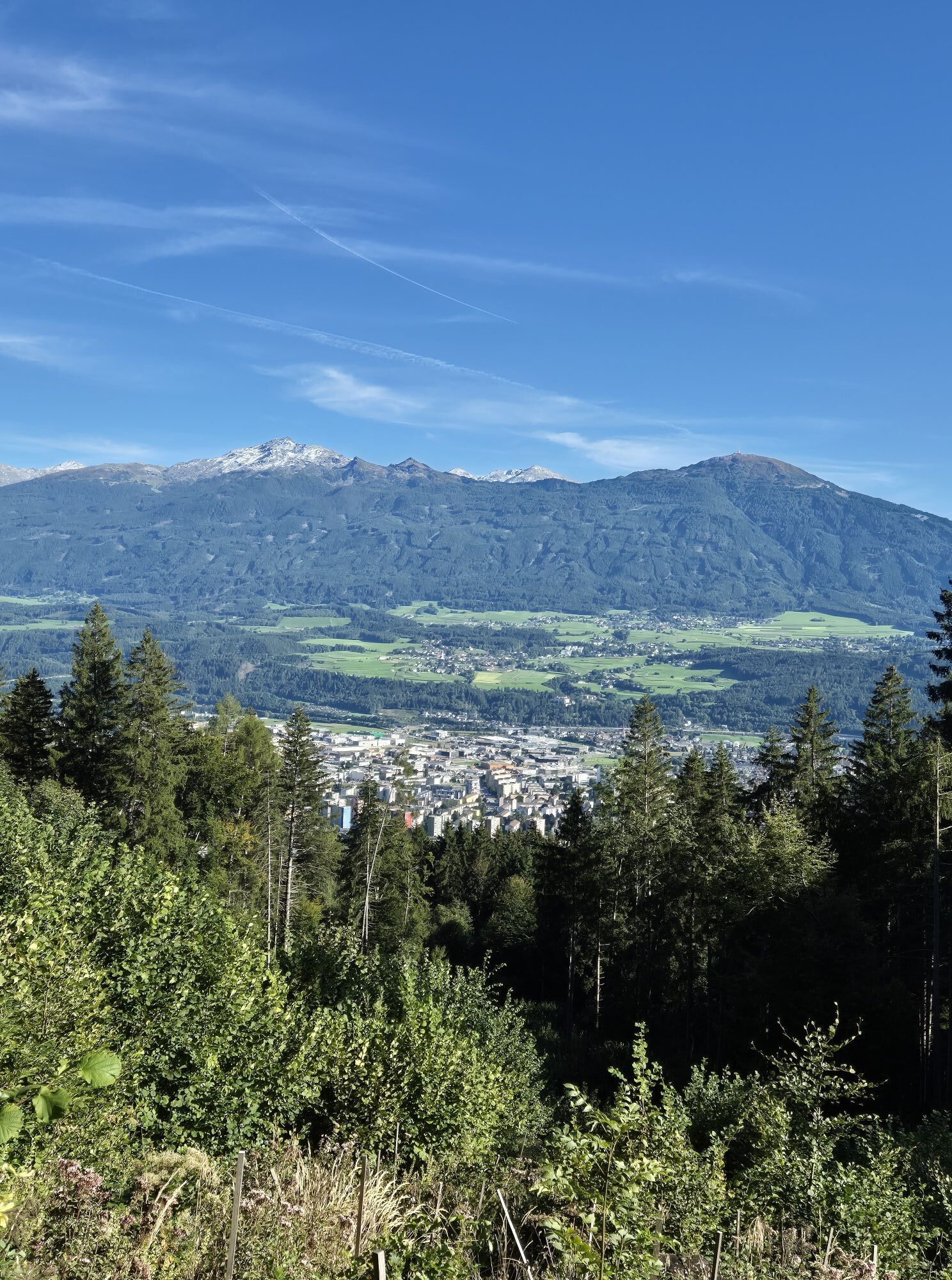
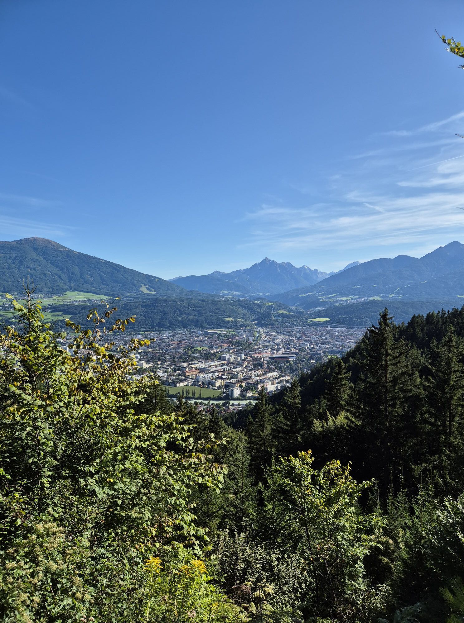

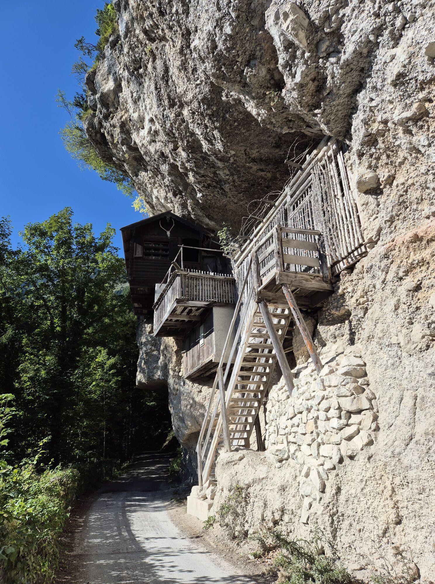
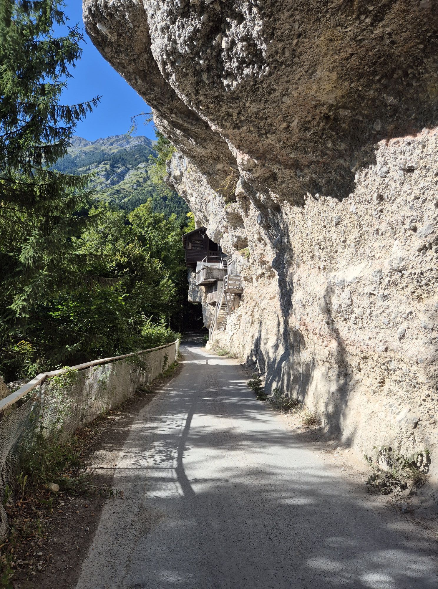
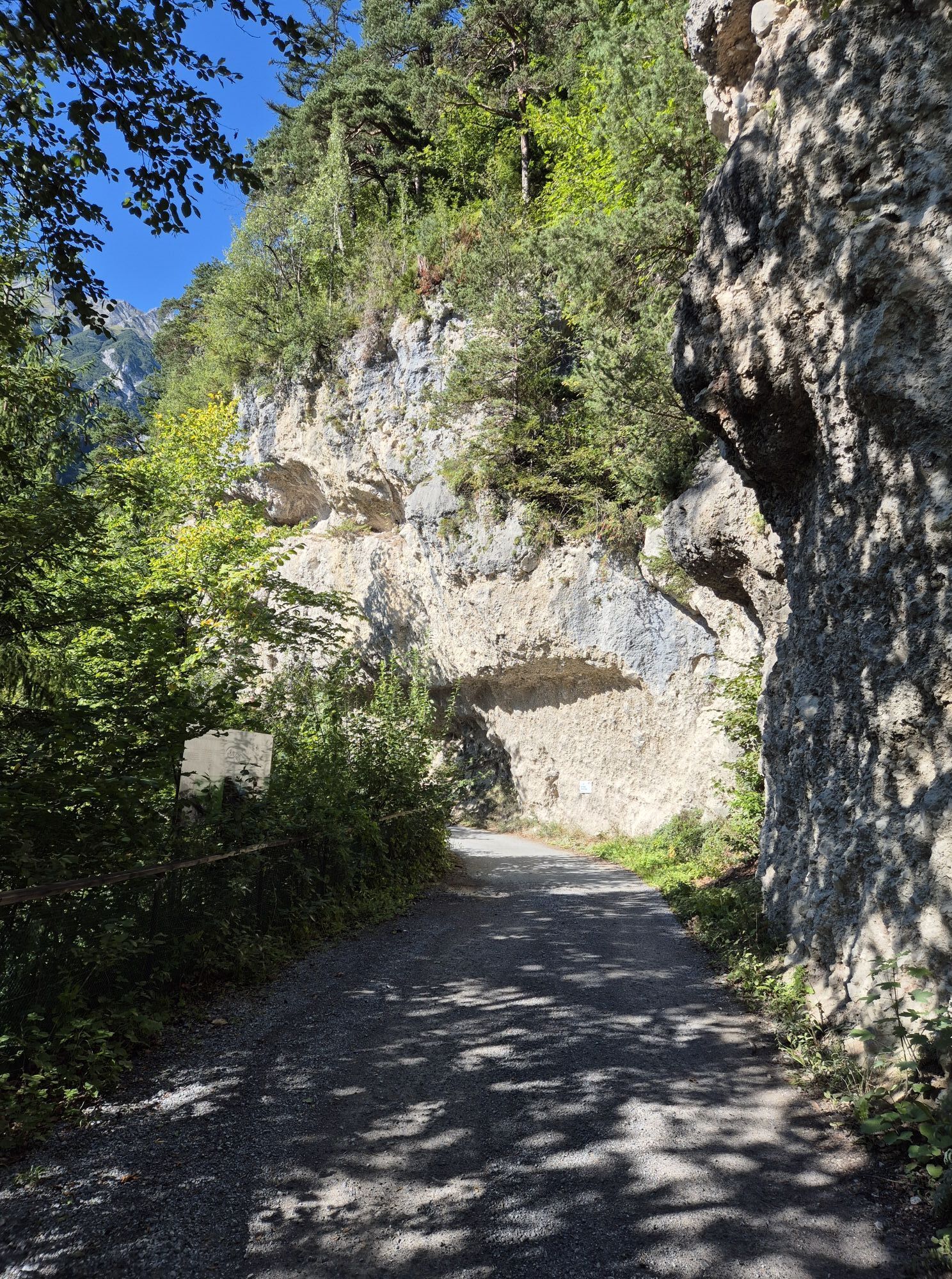

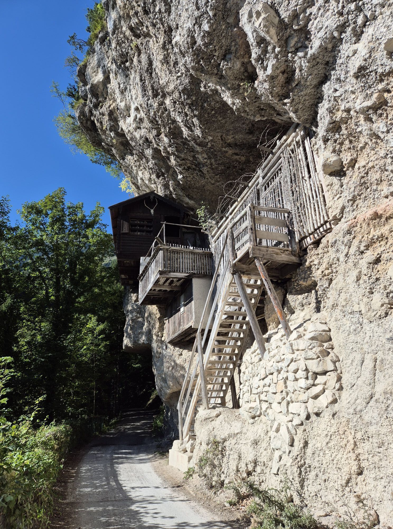
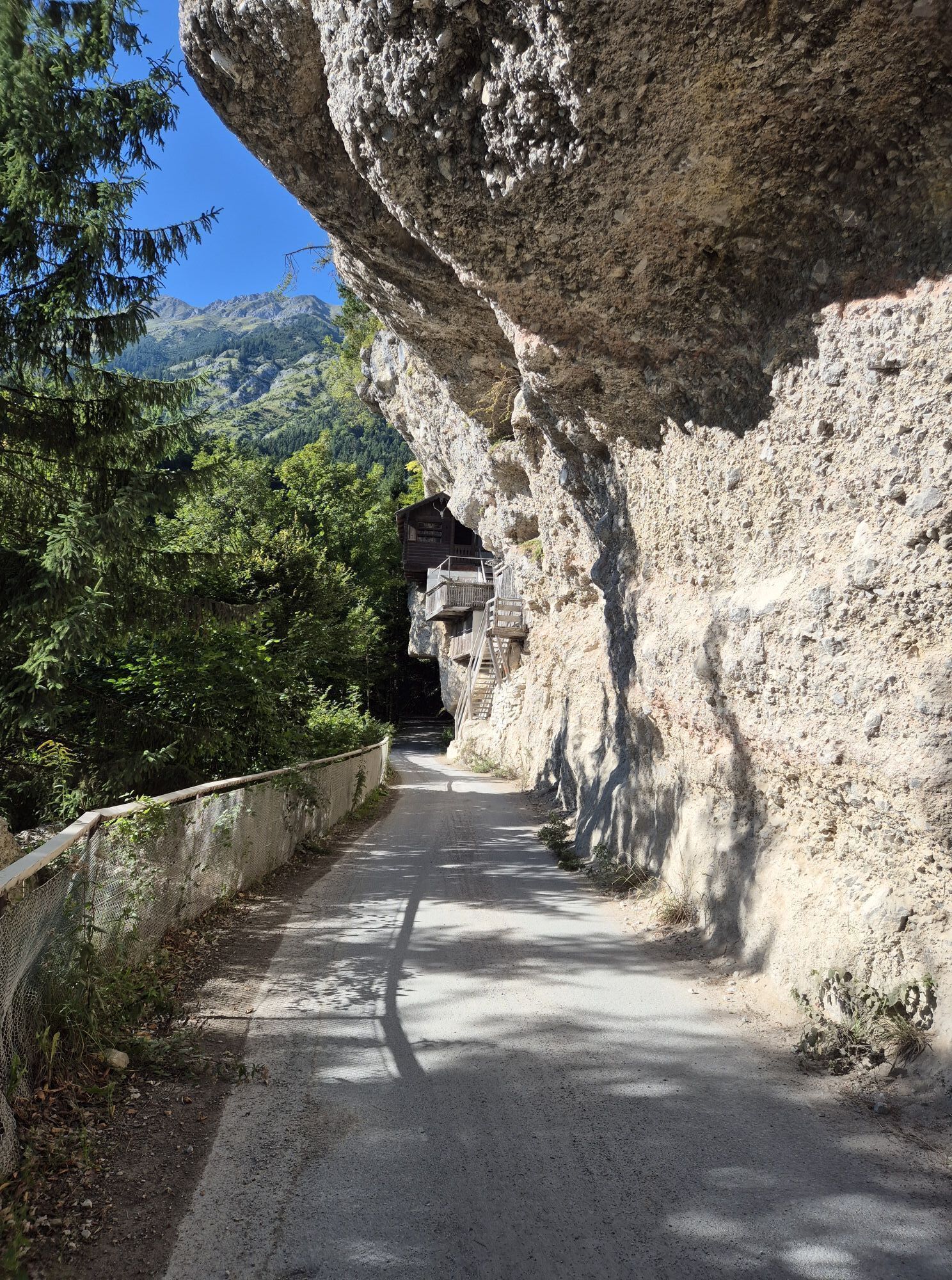
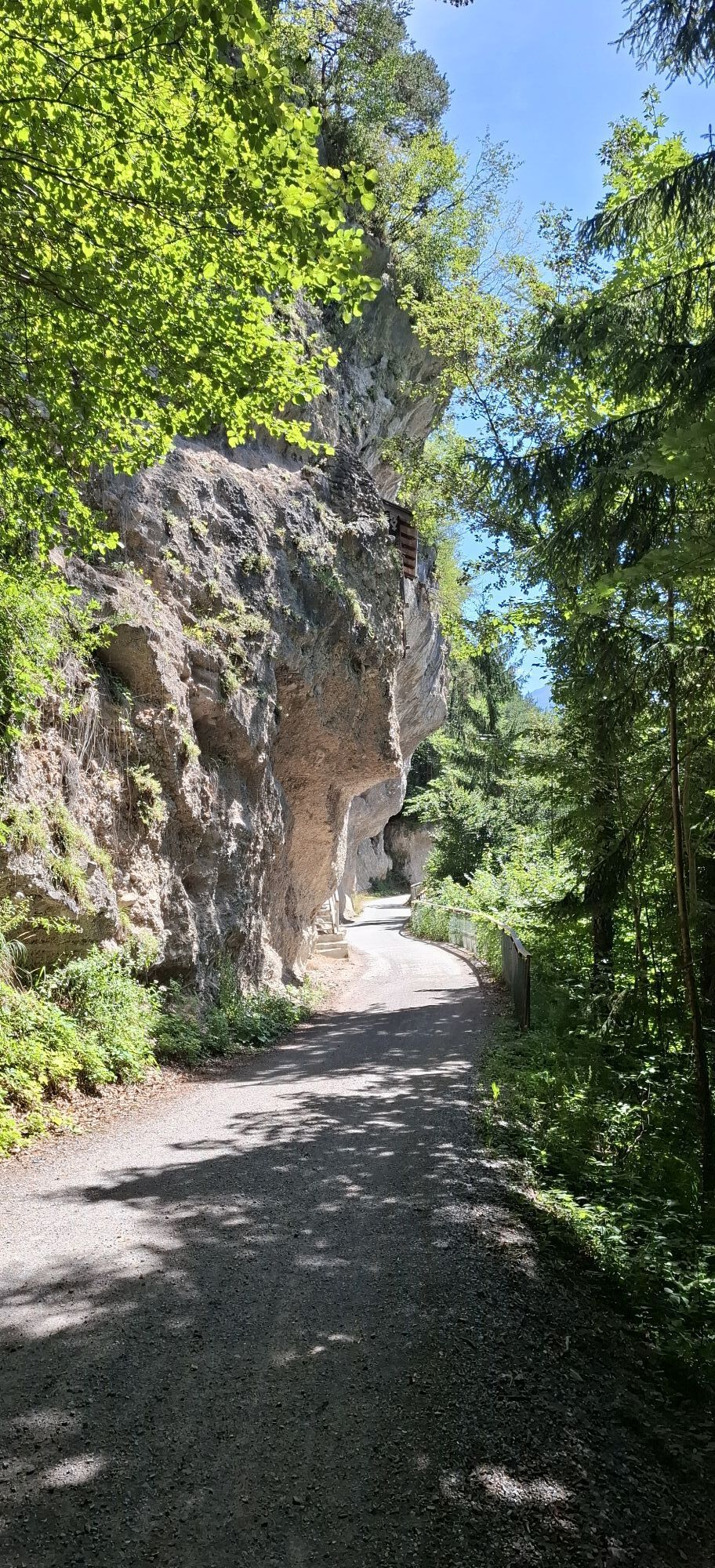
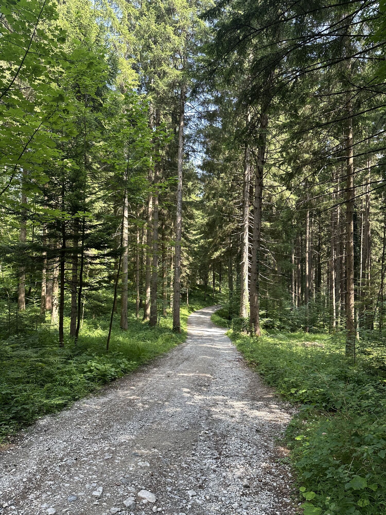
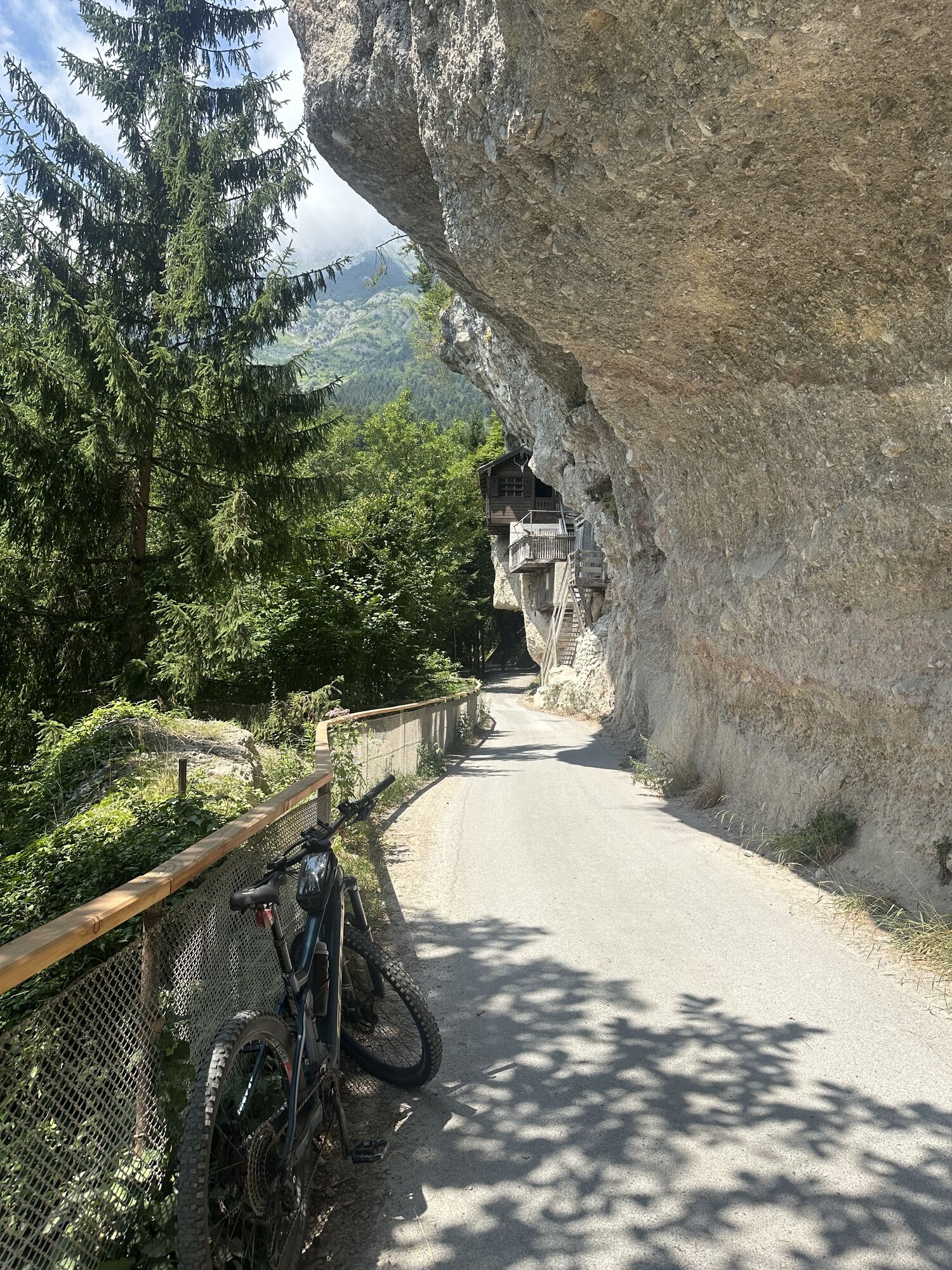
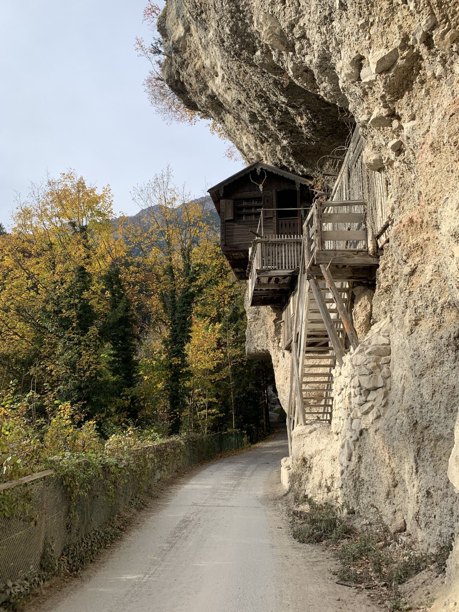
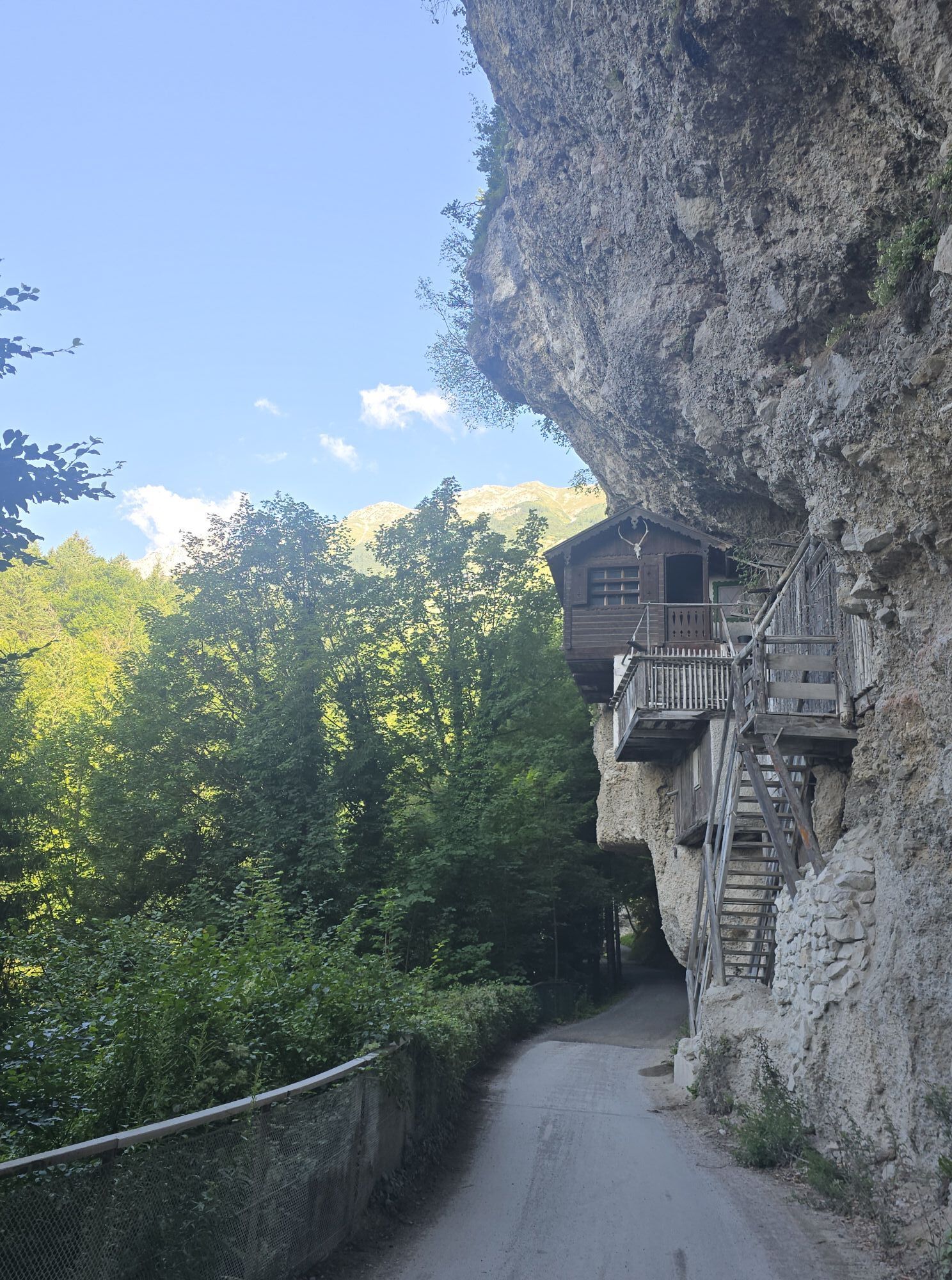
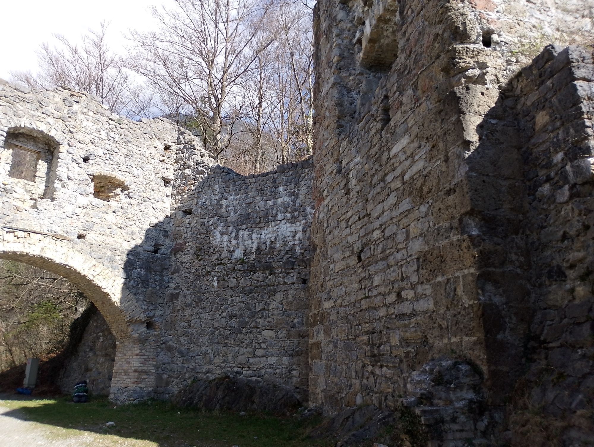
This path leads from Absam along above the MARTHA villages to Hungerburg.

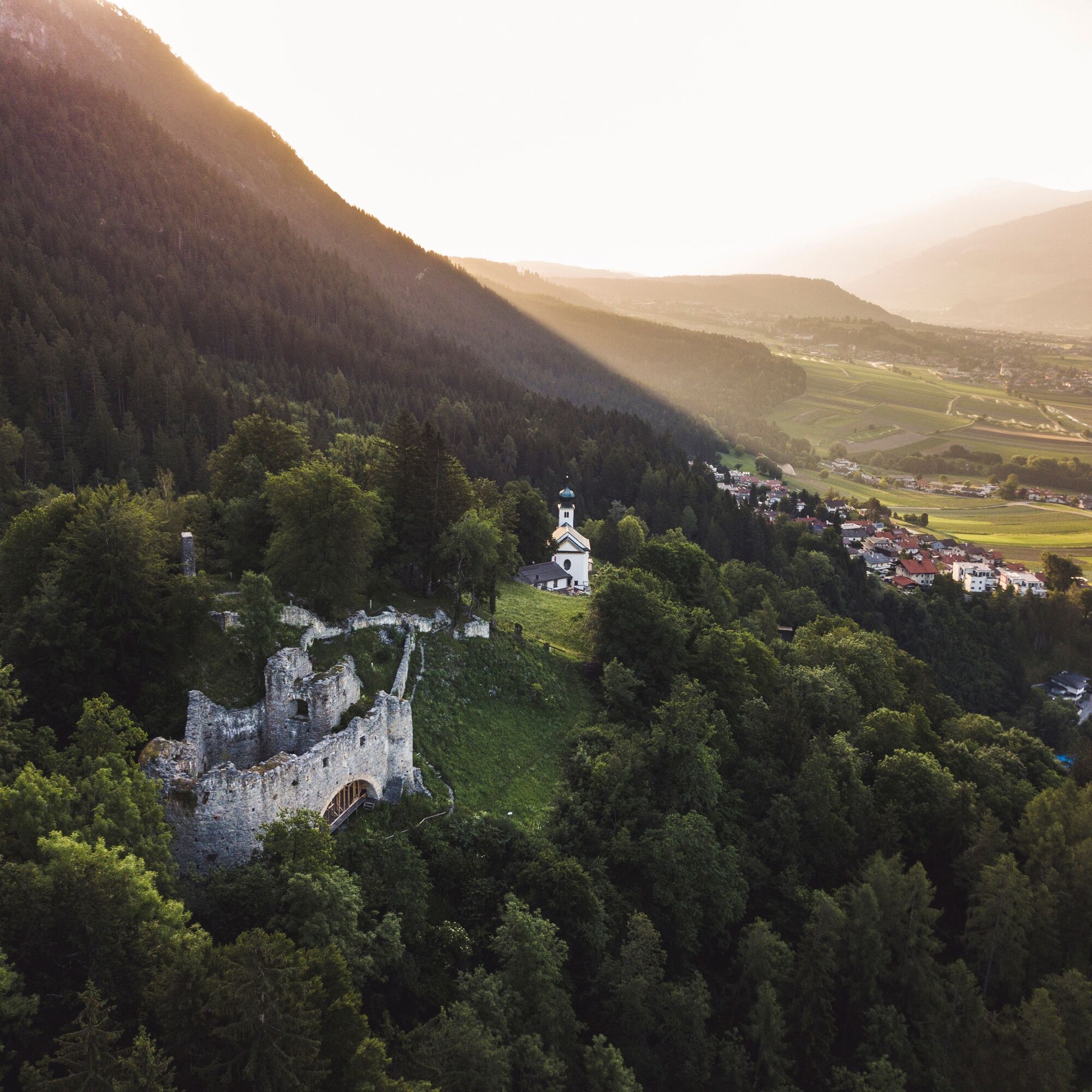
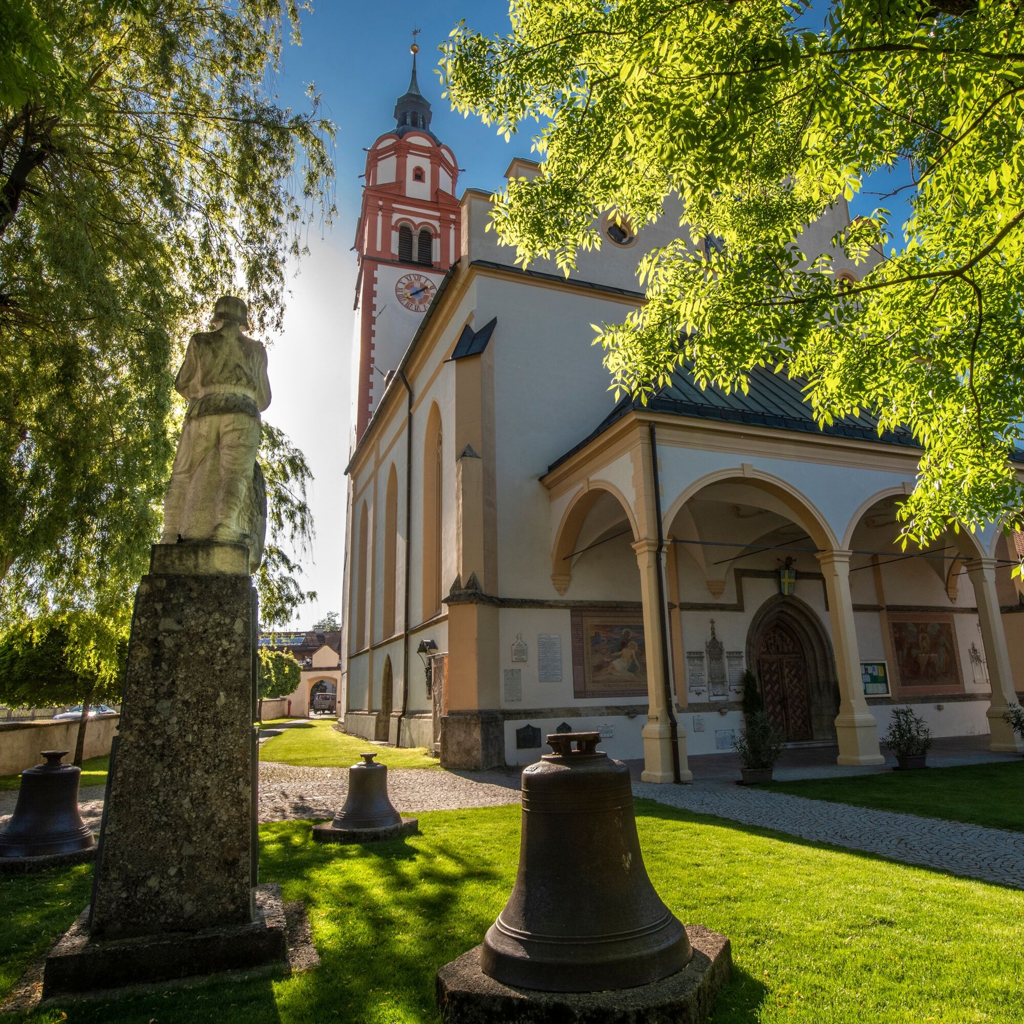

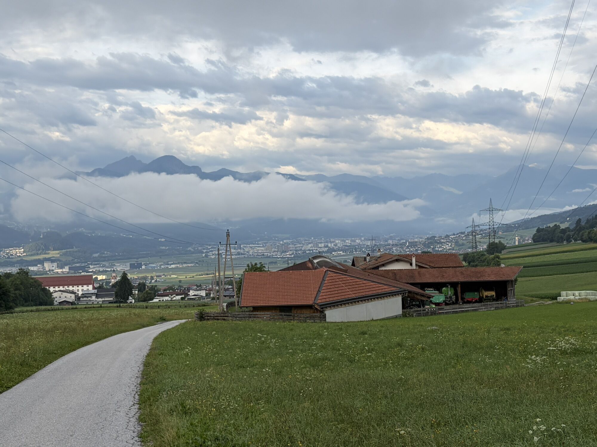
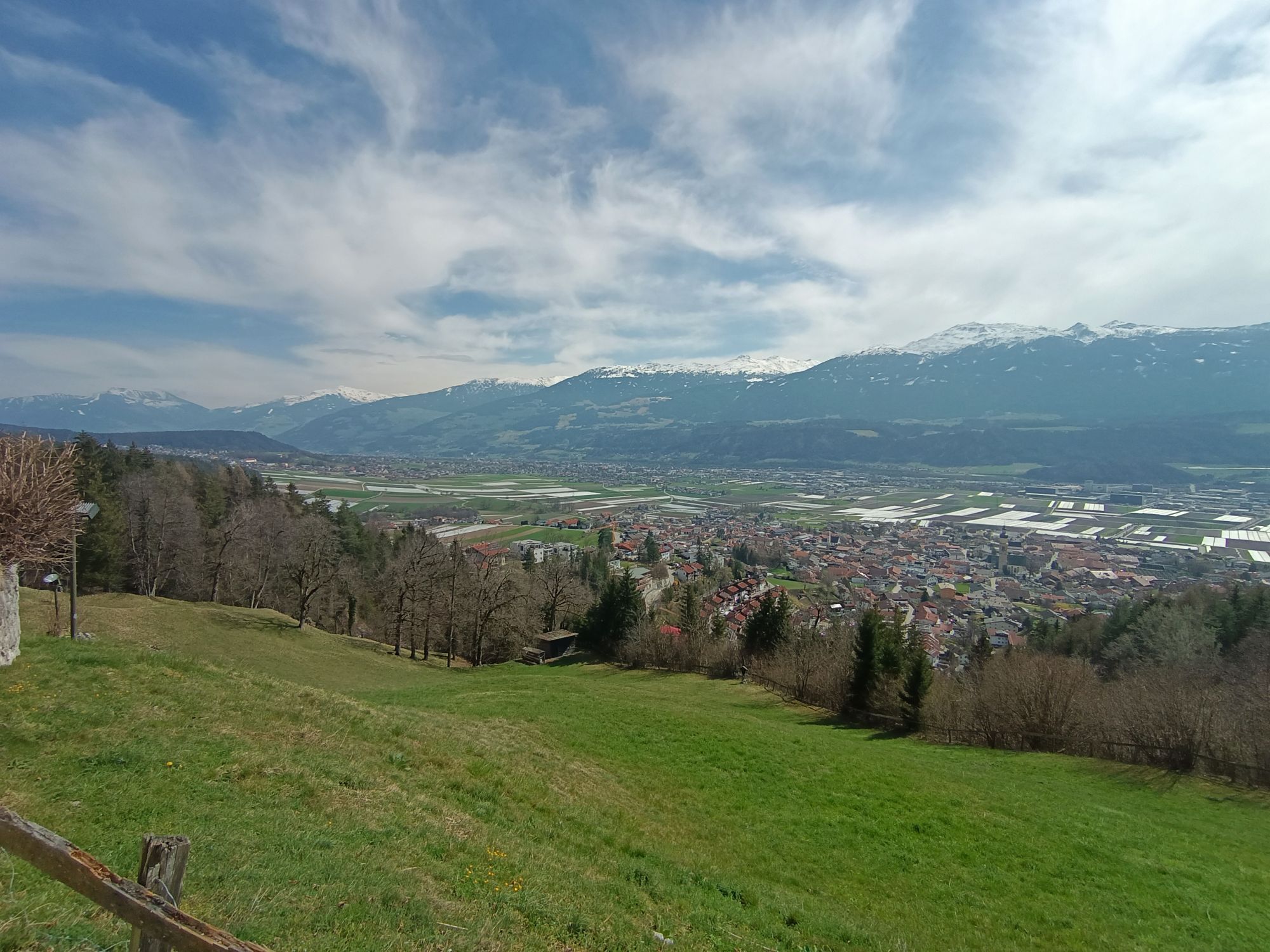
This hike starts at the Absam parking lot, where you can also park your car. It proceeds with gentle ups and downs across meadows and forests from Absam to Hungerburg. Time and again, you can look down on one of the MARTHA villages.
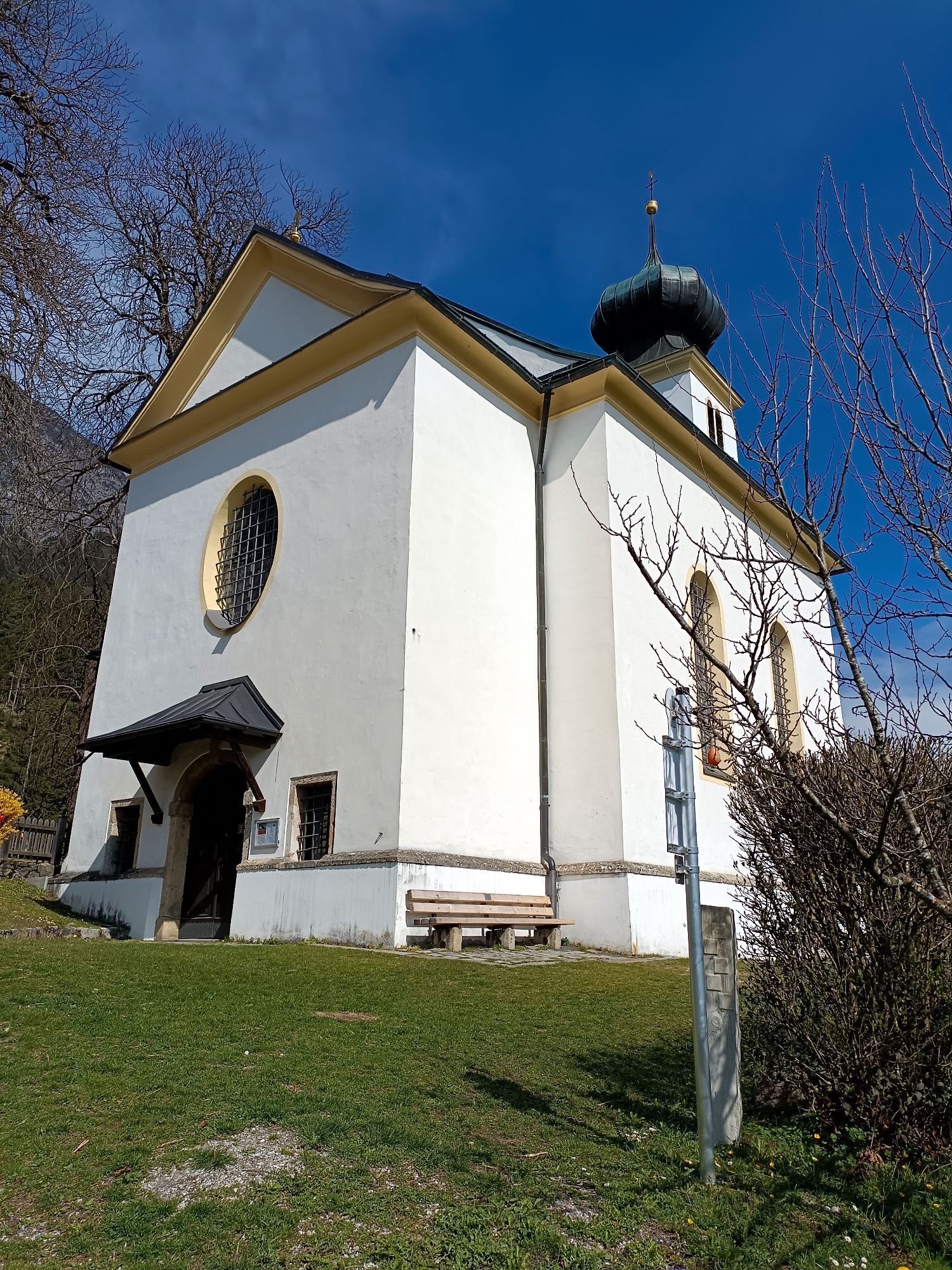
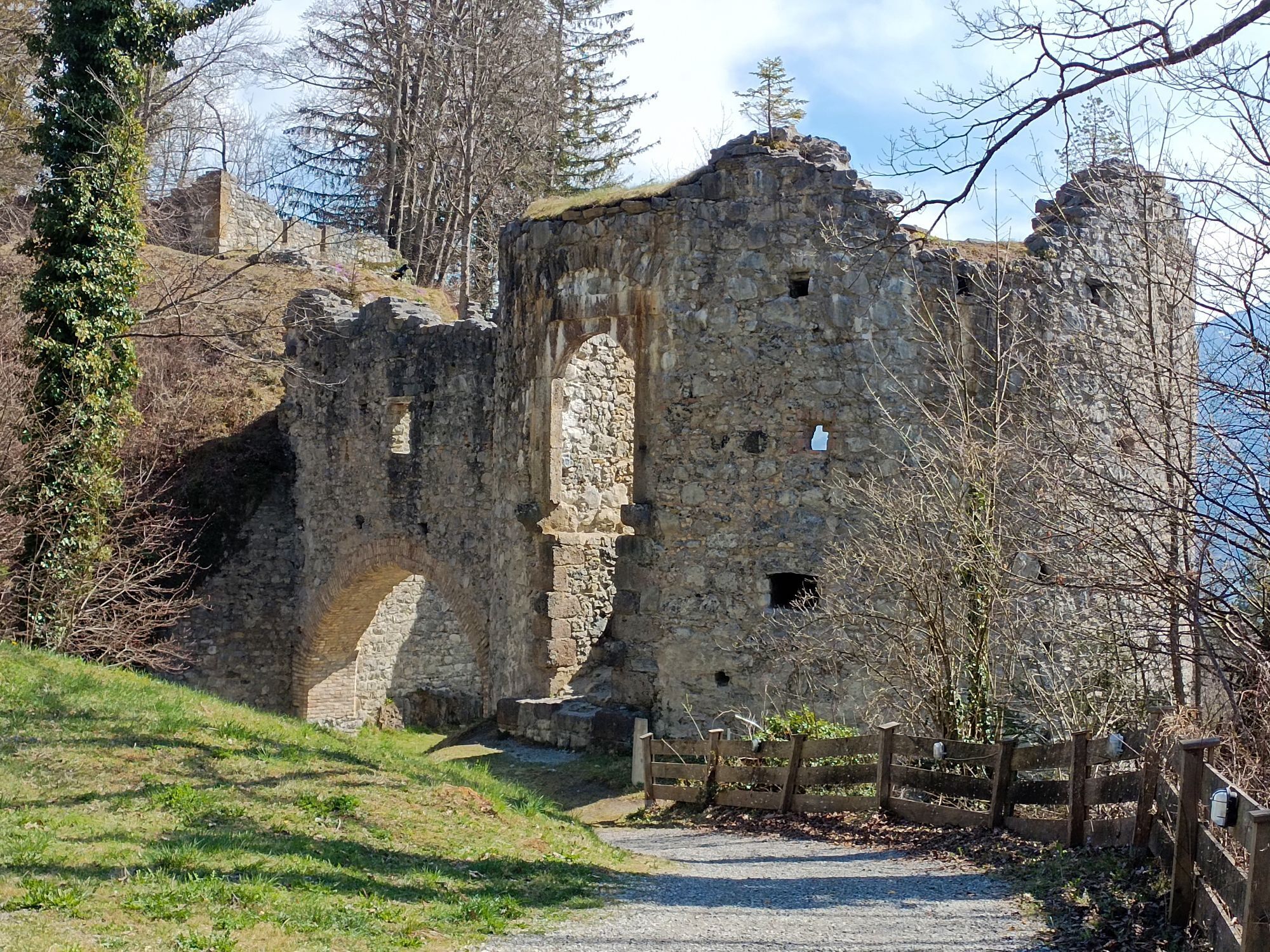
On the meadow path, you pass the Thaurer Mure and continue upwards to the Romedius Chapel and the Thaur Castle Ruins.
You pass the castle courtyard and the Adolf Pichler Spring. The path continues through the forest, heading west, towards Innsbruck.
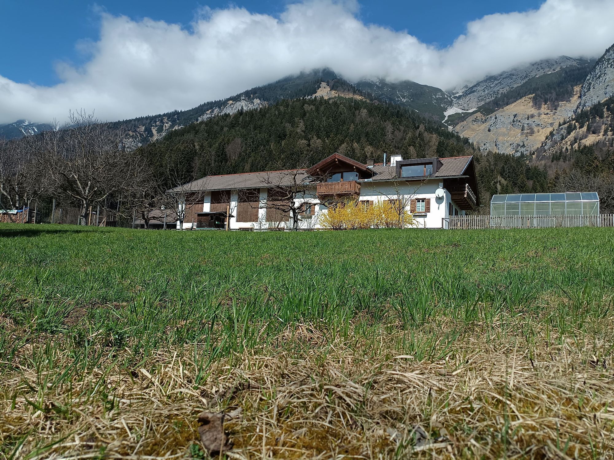
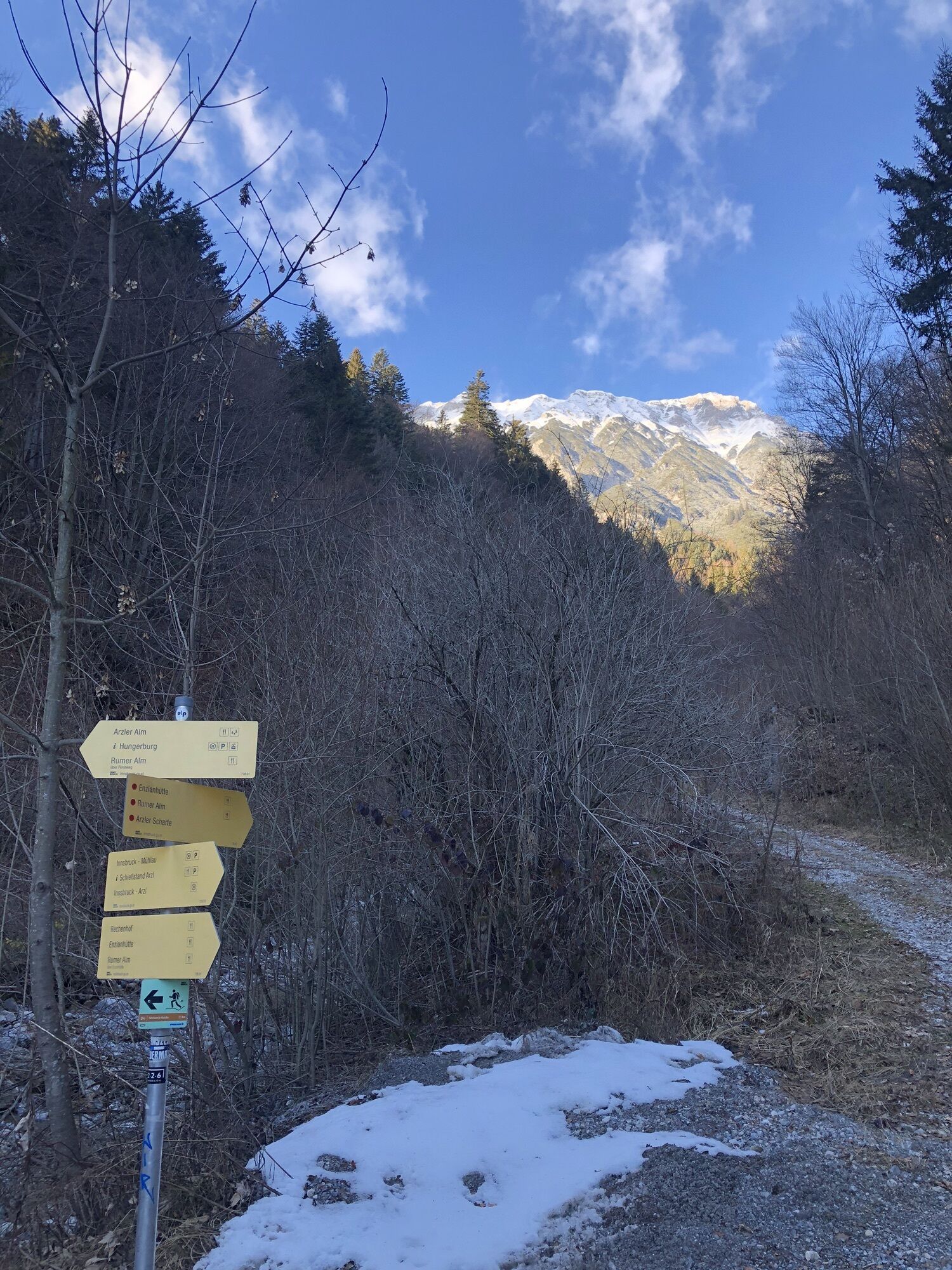
Continuing past the Garzanhof to Rechenhof. A slight descent leads you to pass the lower end of the Arzler Scharte and then slightly upwards again through spruce and beech forest to Hungerburg.
From Hungerburg, you can hike down (about 30 minutes) or take "Bus J" or the "Hungerburgbahn" to Innsbruck. From there, take "Line 501 or 502" back to Absam.
Da
Da
By car or public transport to Absam at the sports field.
You can reach the starting point with lines 501 and 502.
More information at:
http://www.vvt.at/
Parking lot by the sports field
T1
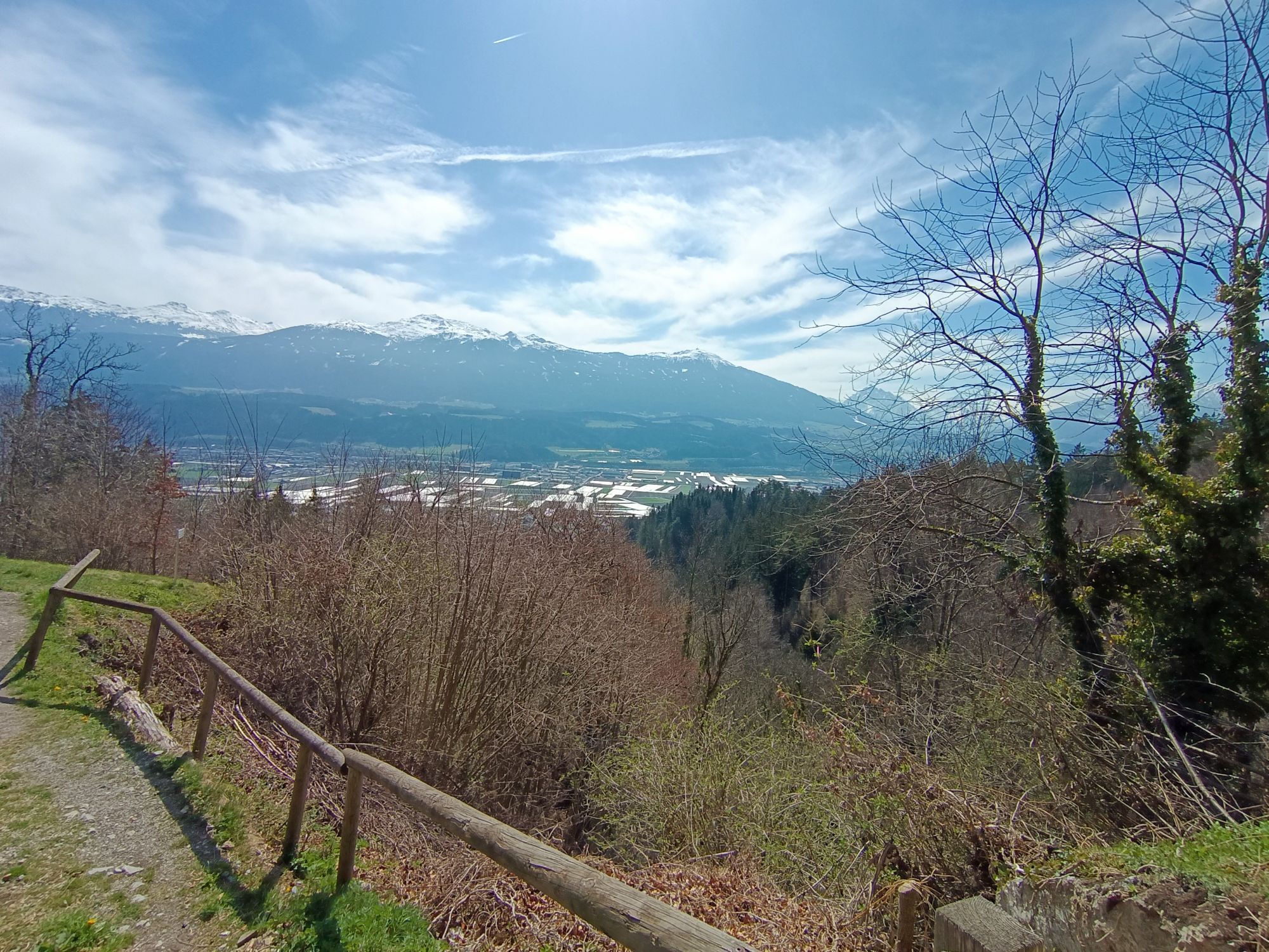
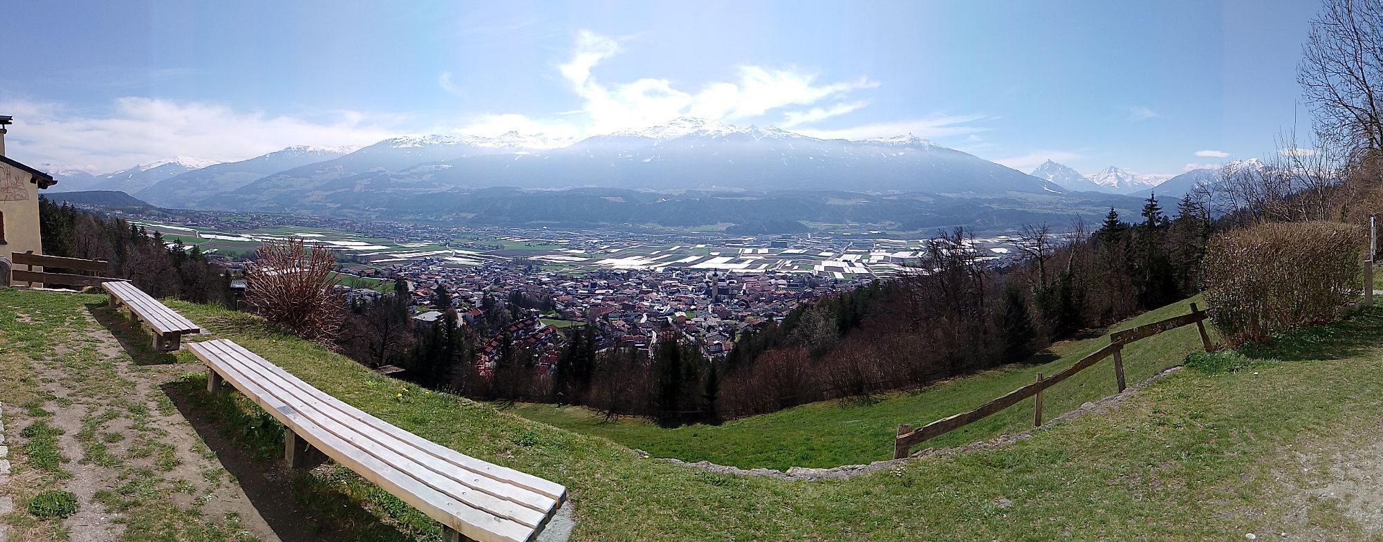
Leisurely, varied hike particularly suitable for families! At the Romedius Chapel and the castle ruins, you have a wonderful view of the Inn Valley and the opposite mountain scenery.


Spletne kamere s turneje
-
Seegrube
-
Innsbruck - Adlers Hotel
-
Seegrube
-
Seegrube
-
Seegrube
-
Seegrube
-
Seegrube
-
Hungerburg
-
Hungerburg
-
Hungerburg
-
Hungerburg
-
Hafelekar
-
Hafelekar
-
Hafelekar
-
Hafelekar
-
Hafelekar
-
Hafelekar
-
Hall in Tirol - Heiligkreuz
-
Innsbruck
-
UNI Innsbruck
-
Innsbruck - Markthalle
-
Oberer Stadtplatz
-
Thaurer Alm - Glungezer
-
UNI Innsbruck West
-
Innsbruck - Austria Trend Hotel Congress
-
Baggersee Roßau
-
Hall in Tirol
Pridobite vpogled
Vedno v živo na mestu z več kot 9.500 spletnimi kamerami. bergfex Kot uporabnik Pro si lahko zdaj ogledate ustrezne spletne kamere za številne izlete v aplikaciji izleti iz. Tako si lahko neposredno ogledate trenutne razmere.


Priljubljeni izleti v okolici
-
4.6
Halltal - Bettelwurfhütte - Kleiner und Großer Bettelwurf
težkoVisokogorska tura 16.2 km -
5.0
Wanderung zum Isarursprung und Kastenalm
svetlobaPohodništvo 14.0 km -
4.8
Rundwanderung Gleirschklamm
srednjaPohodništvo 13.2 km -
4.6
Hinterriss - Eng - Falkenhütte
srednjaPohodništvo 6.88 km -
4.8
Felix-Kuen via ferrata on the Hundskopf
težkoVia ferrata 2.18 km -
4.7
3 Almen Karwendelrunde MTB Route 408
težkoMountainbike 23.8 km -
5.0
Gleirschklamm
srednjaPohodništvo 15.4 km -
4.9
Patscherkofel Gipfelrunde mit Zirbenweg
svetlobaPohodništvo 6.52 km -
4.8
Seegrube - Hungerburg
srednjaPohodništvo 5.04 km -
4.6
To the scenic Hochmahdkopf
srednjaPohodništvo 8.31 km

Pohodništvo in sledenje


Ne zamudite ponudb in navdiha za naslednje počitnice
Vaš e-poštni naslov je bil dodan na poštni seznam.





